18th September 2020 - Great Whernside
Walk Details
Distance walked: 8.7 miles
Total ascent: 1875 ft
OS map used: OL30 - Yorkshire Dales, Northern & Central areas
Time taken: 5.5 hrs
Route description: Kettlewell-Whernside Pastures-Sweet Hill-Great Whernside-Blackfell Top-Hunters Sleets-Tor Dike-Starbotton Road-Top Mere Road-Kettlewell
For my last day of a week off work I decided to have a walk up on old favourite, Great Whernside. After yesterday's big walk on the Howgills I wanted something a bit shorter, less strenuous, and closer to home, and this fitted the bill. Starting from Kettlewell, which I've done many times, I wanted to try a new variation for my route of ascent, the bridleway up to Whernside Pastures. It proved to be a good way up, quiet and easy to follow, and although I thought I might encounter boggy ground on the hillside below Sweet Hill, no difficulties were encountered. I enjoyed another lovely early autumn day for this walk, although there was a strong and chilly easterly wind on the summit of Great Whernside to put with.
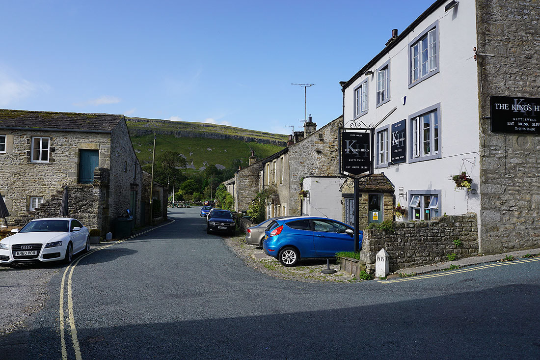
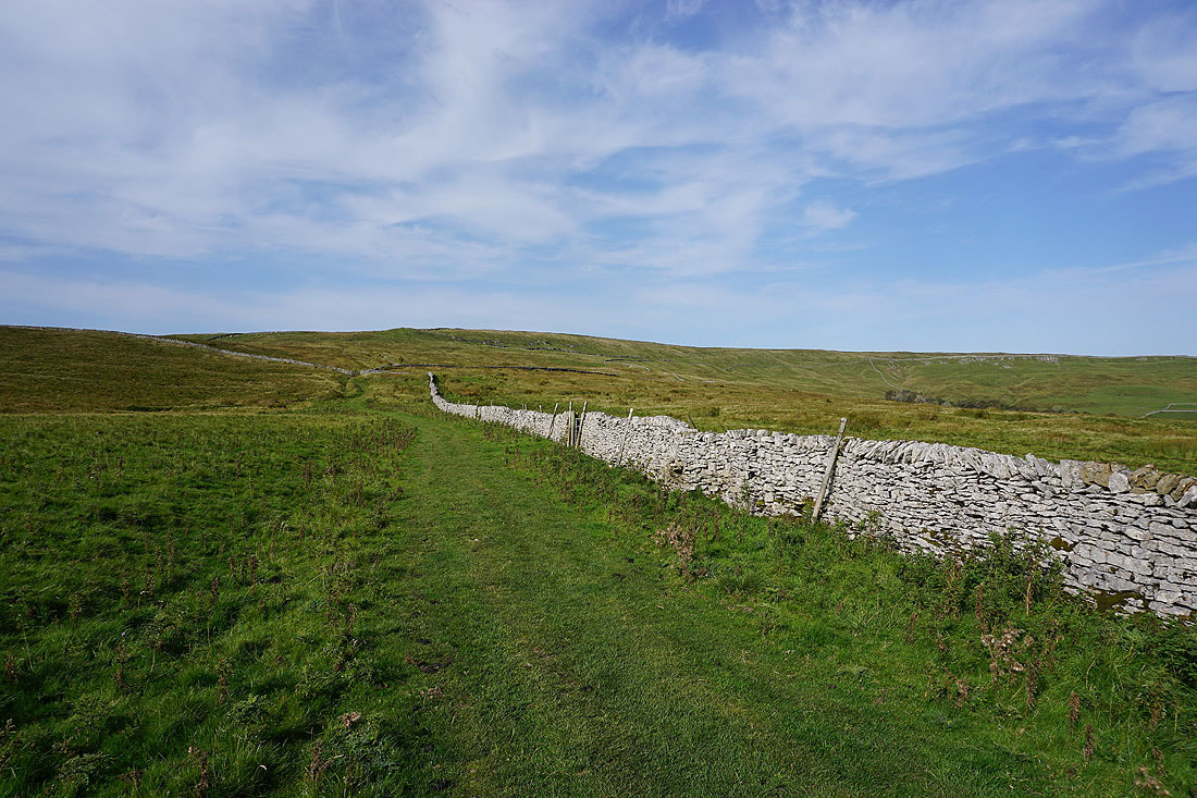
From the NP car park in Kettlewell I made my way through the village to the King's Head pub and along the lane of Scabbate Gate until I reached the bridleway signposted for Whernside Pastures. I followed the bridleway uphill to its top on the hillside of Slatepit Rigg, where I continued my ascent up the hillside to reach Sweet Hill. I then followed the fence north from here to the south top of Great Whernside, and after a short detour to the top of Stone Head Crag, I continued north to reach the trig point on the summit of Great Whernside. After a stop for lunch I made my north to Blackfell Top and Black Dike End before descending the hillside of Black Dike to reach the Kettlewell to Coverdale road, which I crossed and took the path along the top of Tor Dike to reach the bridleway of Starbotton Road. I was on this bridleway briefly as I soon reached the track of Top Mere Road, which I took and followed down to Kettlewell. I then made my way through the village and back to the car park.
Total ascent: 1875 ft
OS map used: OL30 - Yorkshire Dales, Northern & Central areas
Time taken: 5.5 hrs
Route description: Kettlewell-Whernside Pastures-Sweet Hill-Great Whernside-Blackfell Top-Hunters Sleets-Tor Dike-Starbotton Road-Top Mere Road-Kettlewell
For my last day of a week off work I decided to have a walk up on old favourite, Great Whernside. After yesterday's big walk on the Howgills I wanted something a bit shorter, less strenuous, and closer to home, and this fitted the bill. Starting from Kettlewell, which I've done many times, I wanted to try a new variation for my route of ascent, the bridleway up to Whernside Pastures. It proved to be a good way up, quiet and easy to follow, and although I thought I might encounter boggy ground on the hillside below Sweet Hill, no difficulties were encountered. I enjoyed another lovely early autumn day for this walk, although there was a strong and chilly easterly wind on the summit of Great Whernside to put with.
From the NP car park in Kettlewell I made my way through the village to the King's Head pub and along the lane of Scabbate Gate until I reached the bridleway signposted for Whernside Pastures. I followed the bridleway uphill to its top on the hillside of Slatepit Rigg, where I continued my ascent up the hillside to reach Sweet Hill. I then followed the fence north from here to the south top of Great Whernside, and after a short detour to the top of Stone Head Crag, I continued north to reach the trig point on the summit of Great Whernside. After a stop for lunch I made my north to Blackfell Top and Black Dike End before descending the hillside of Black Dike to reach the Kettlewell to Coverdale road, which I crossed and took the path along the top of Tor Dike to reach the bridleway of Starbotton Road. I was on this bridleway briefly as I soon reached the track of Top Mere Road, which I took and followed down to Kettlewell. I then made my way through the village and back to the car park.
Route map
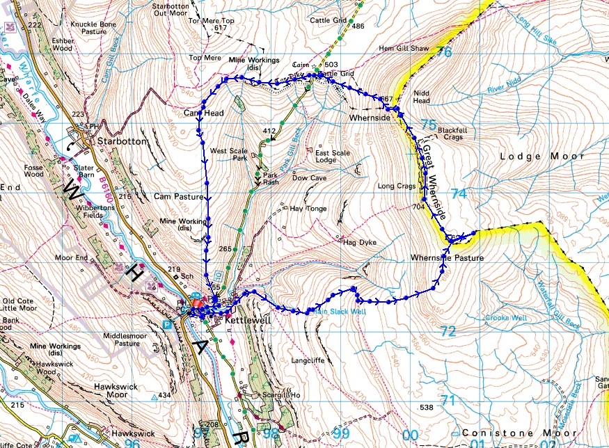
© Crown copyright. All rights reserved. License number PU 100034184.
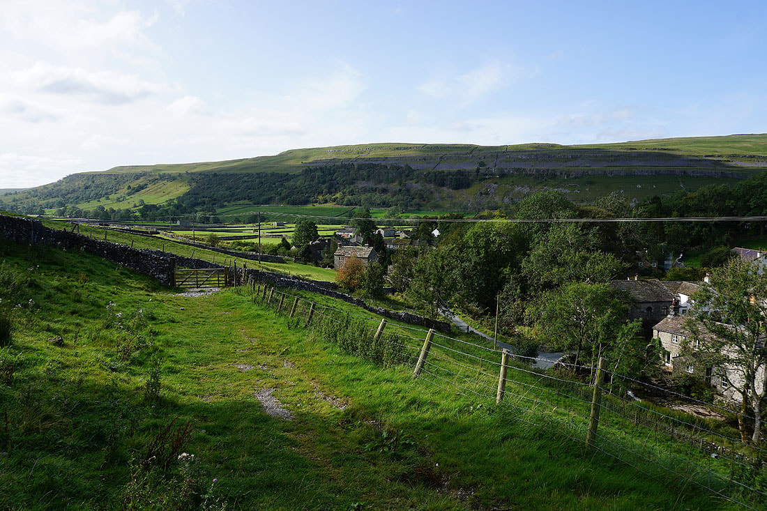
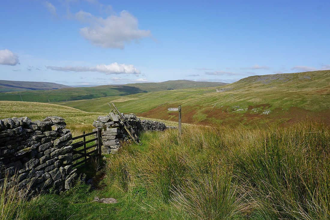
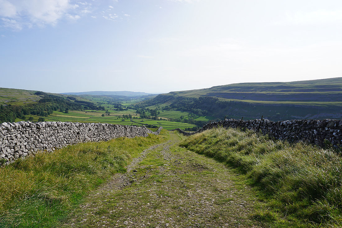
Leaving Kettlewell behind on the bridleway signposted to Whernside Pastures..
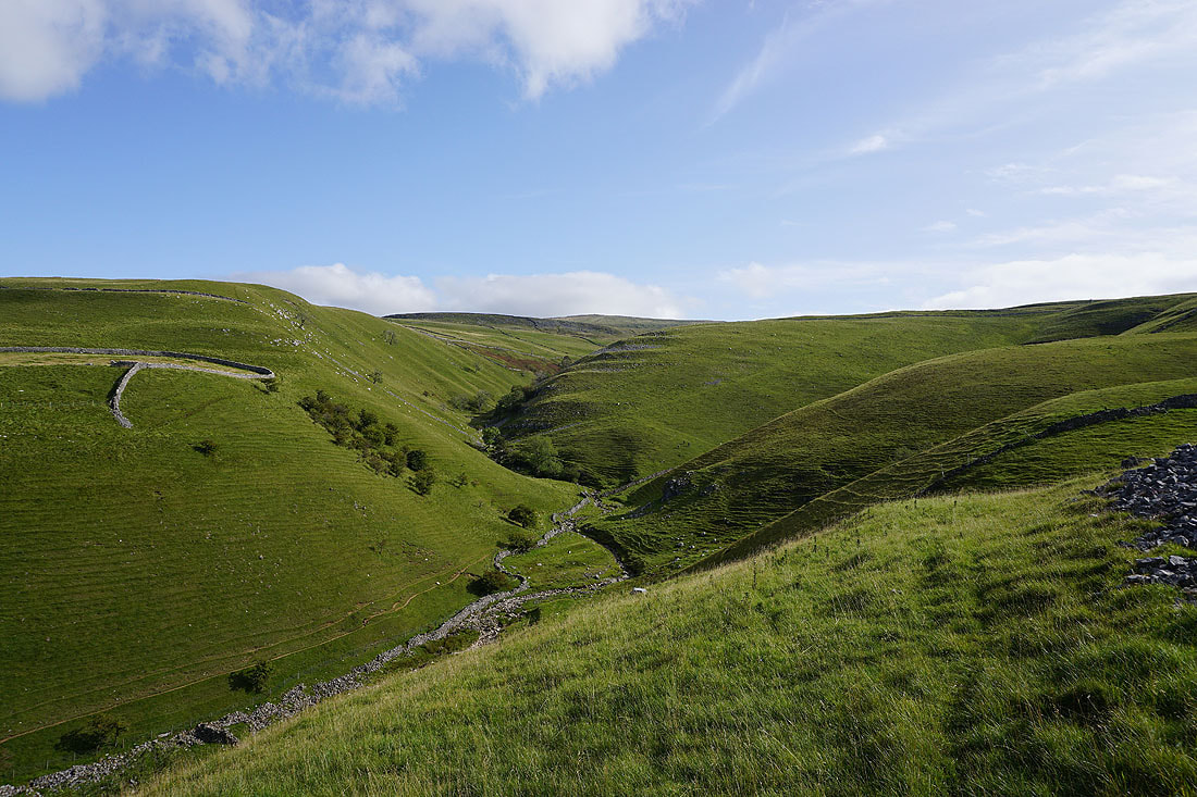
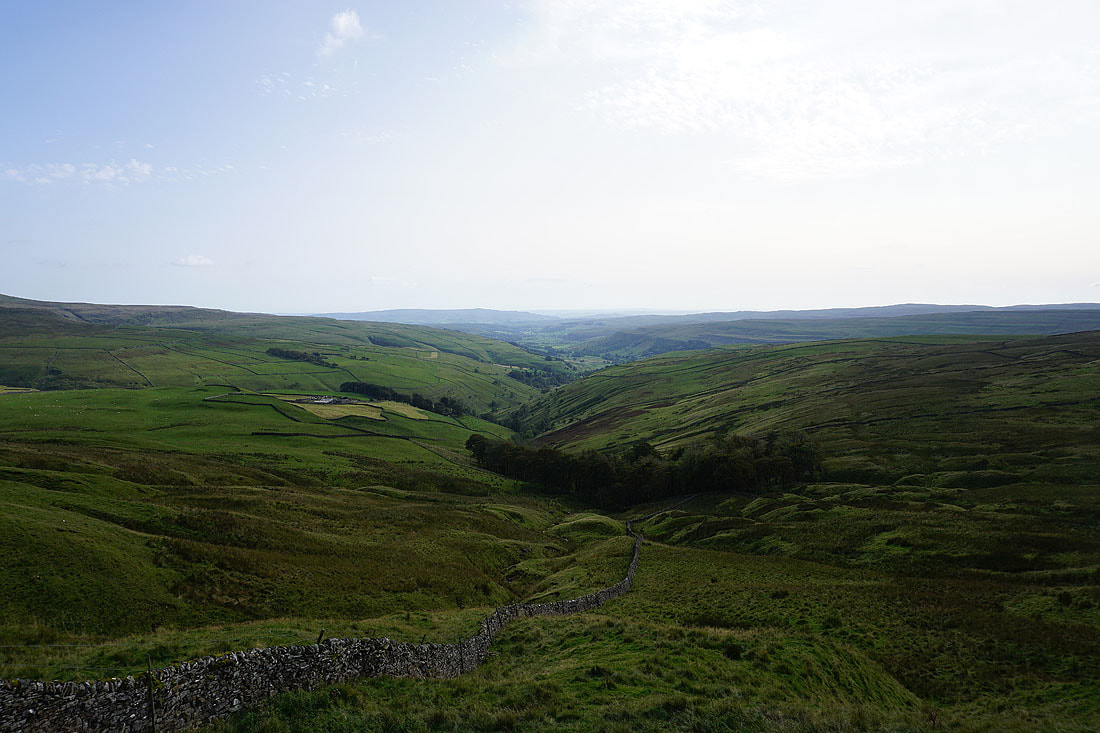
Looking up Dowber Gill and I can make out the summit of Great Whernside in the distance
Cam Gill and Tor Mere Top to the north
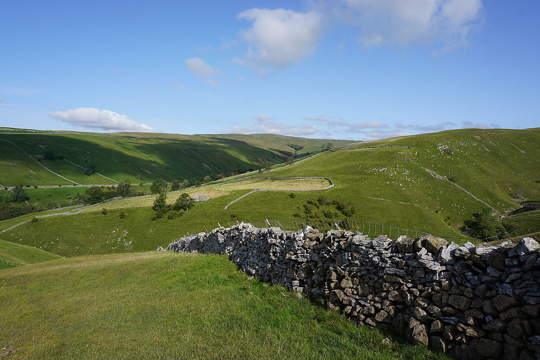
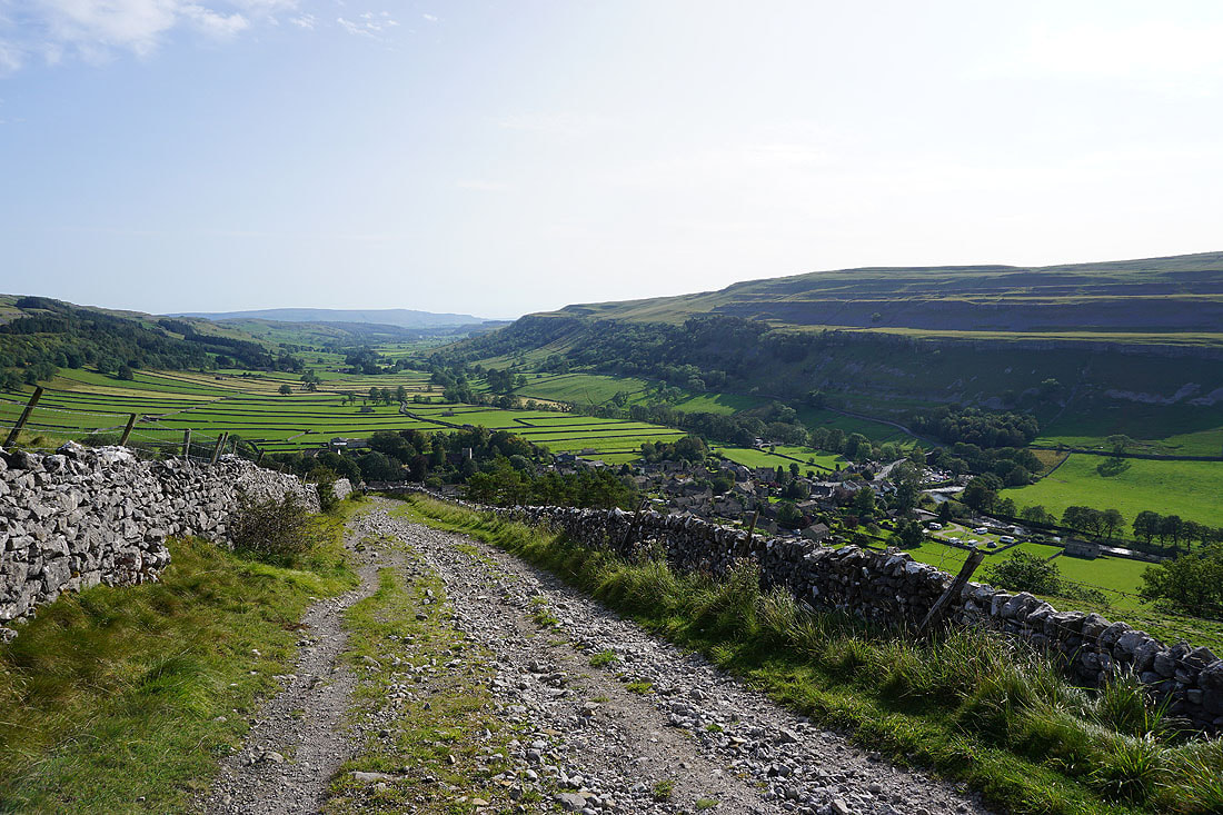
Looking back down to Wharfedale
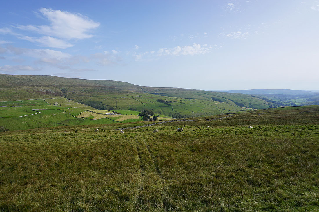
Views of the western slopes of Great Whernside from the bridleway up to Whernside Pastures...
The southern end of Buckden Pike to the north as I reach the top of the bridleway
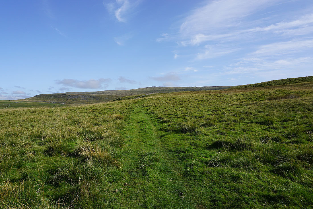
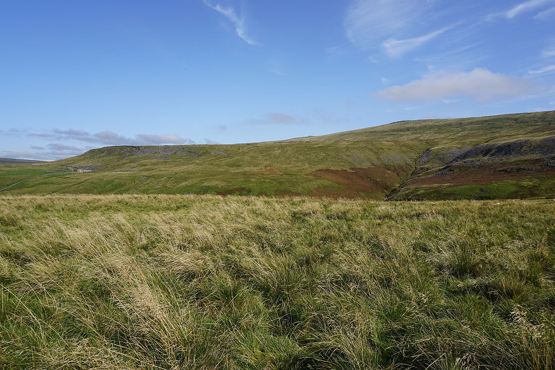
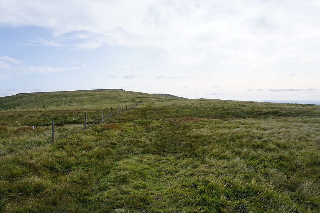
I now have a trod through the grass to follow across Whernside Pastures with great views of the surrounding moors of Wharfedale....
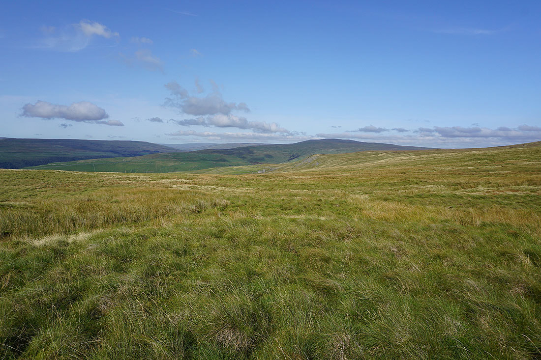
The broad slopes of Great Whernside as I reach Sweet Hill
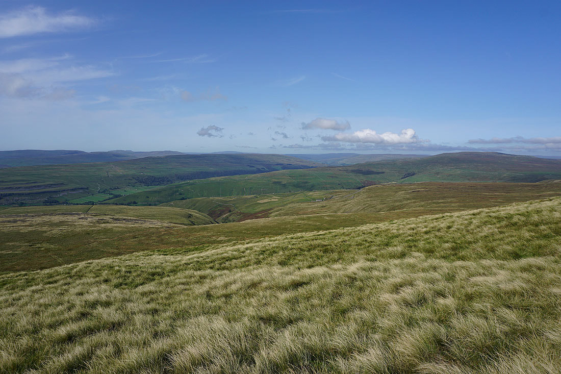
The view south to Barden Moor is a bit hazy
I've made my way from Sweet Hill to Stone Head Crag for its view east to Little Whernside, Dead Man's Hill, Angram Reservoir and the moors around Nidderdale
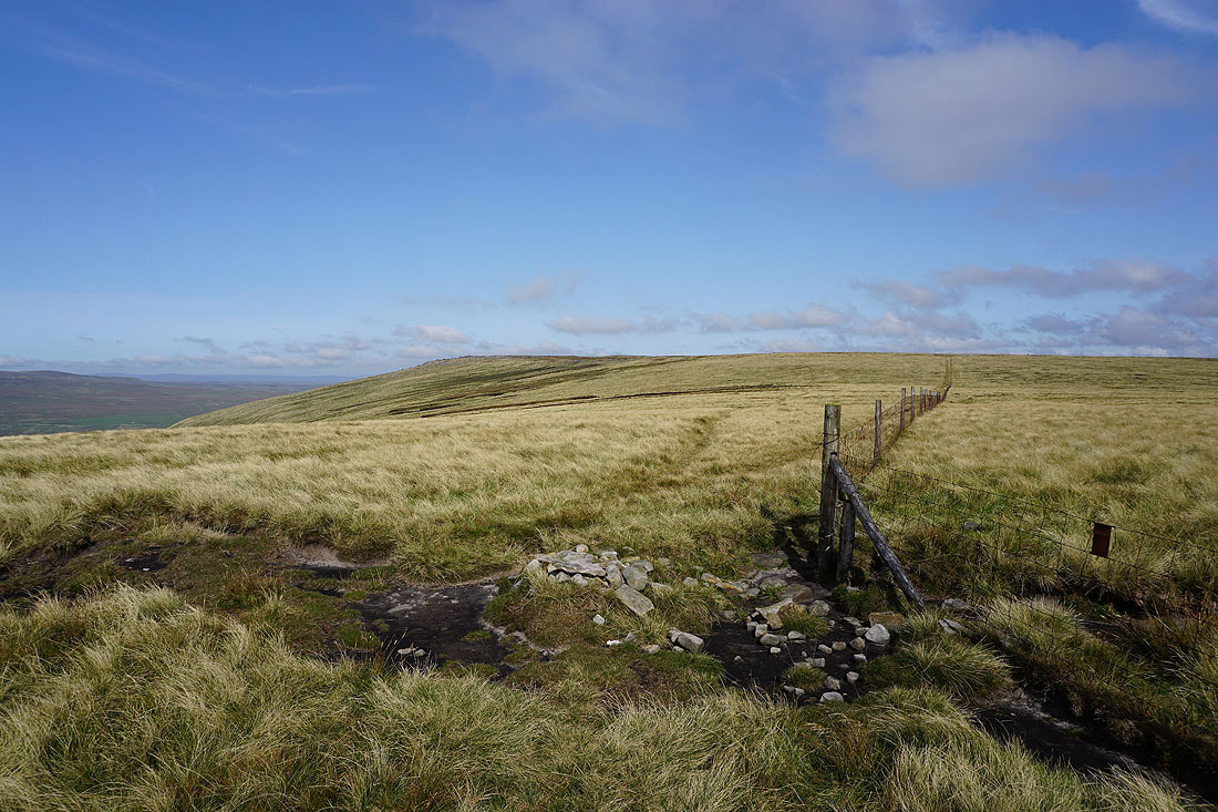
Looking back to Sweet Hill from the south top of Great Whernside
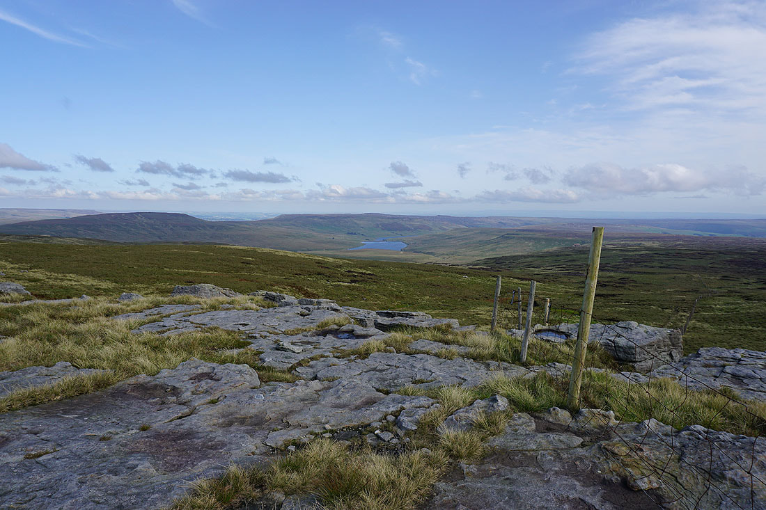
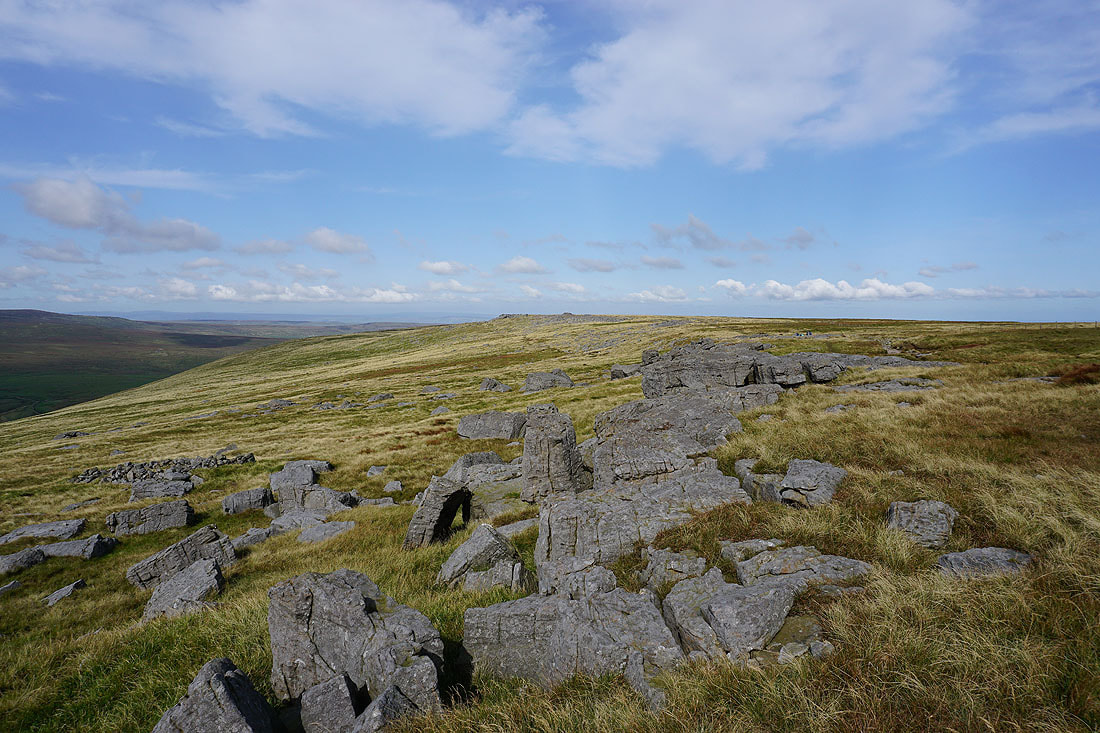
The summit of Great Whernside is just to the north
A hazy Pendle Hill in the distance to the southwest
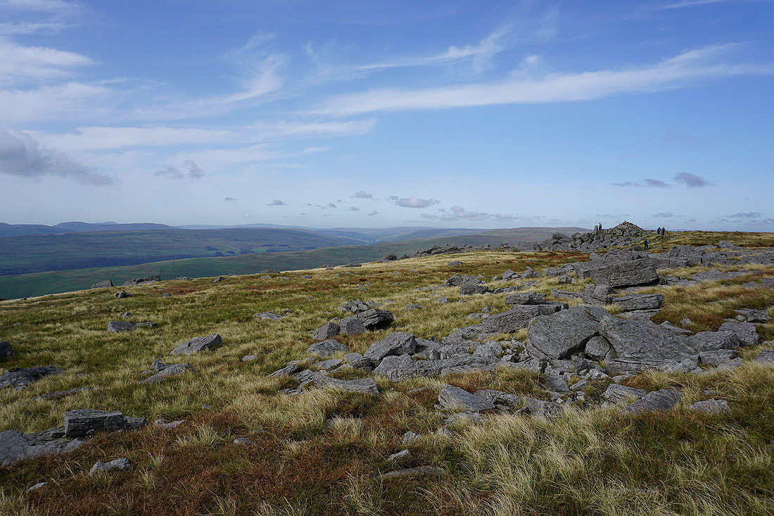
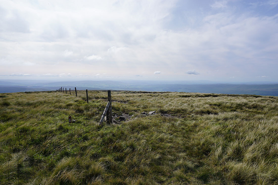
Approaching the trig point and summit cairn
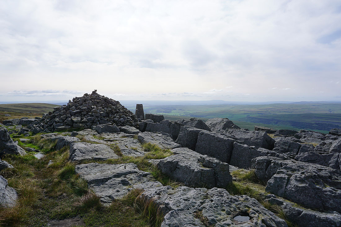
On the summit of Great Whernside with a hazy Pendle Hill in the distance to the southwest
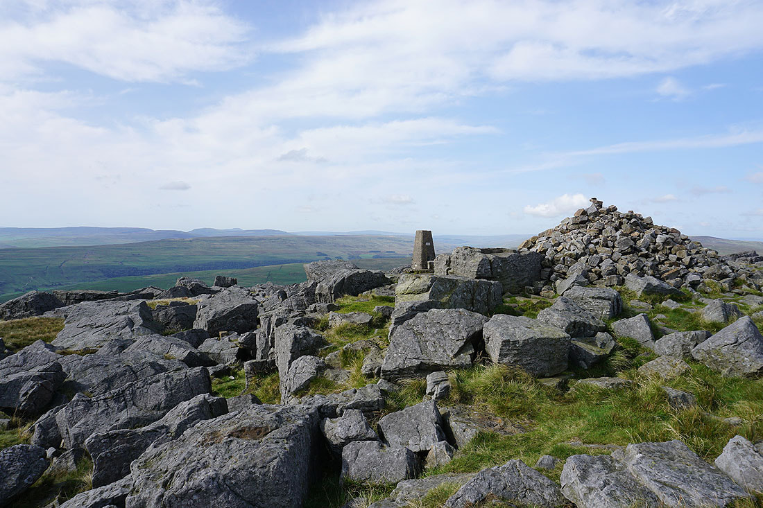
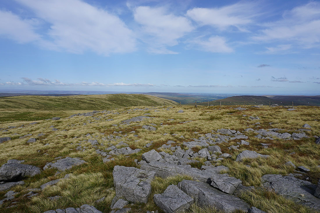
Fountains Fell, Penyghent, Ingleborough, Plover Hill and Whernside to the west and northwest
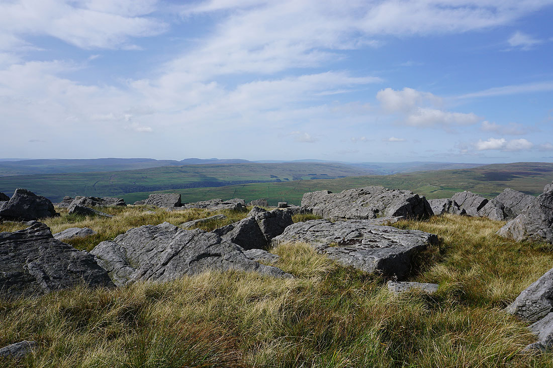
I have the same great view to enjoy while I'm sat against a boulder having my lunch
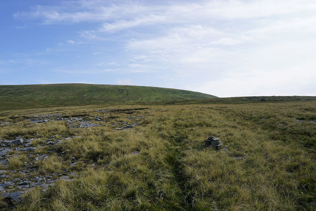
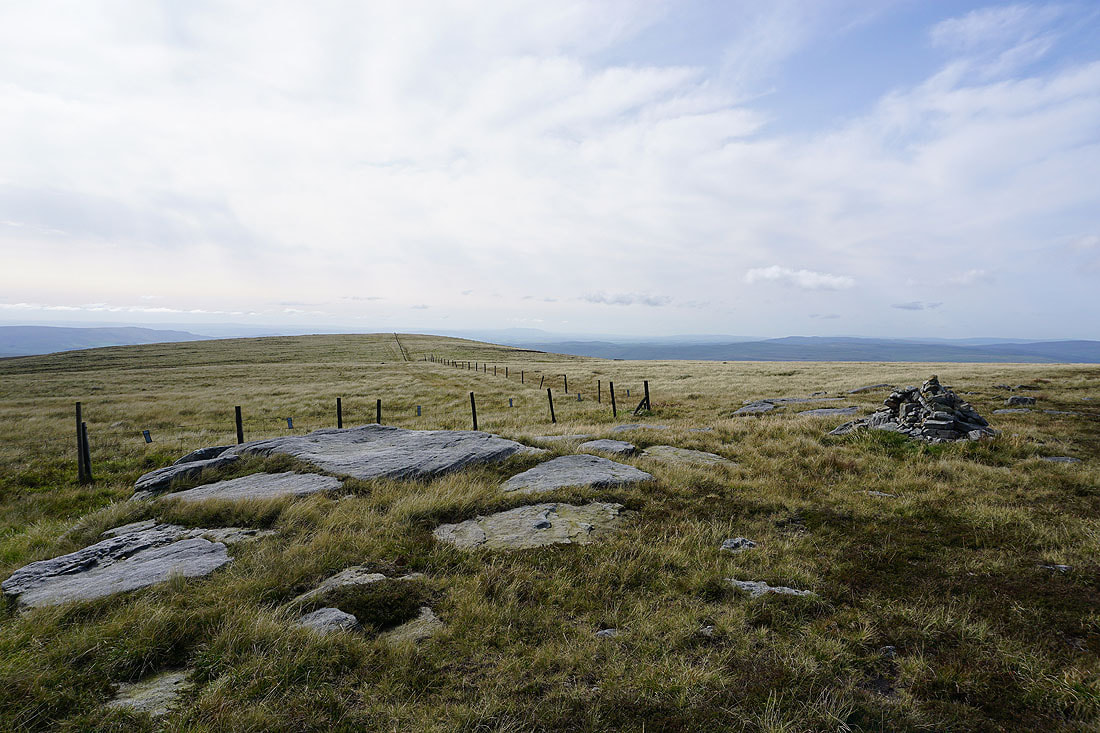
Looking north to Blackfell Top
Pendle Hill in the distance..
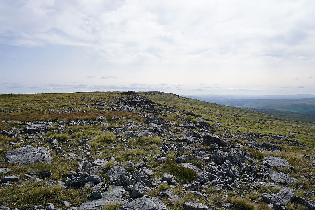
..and looking back to the summit from Blackfell Top
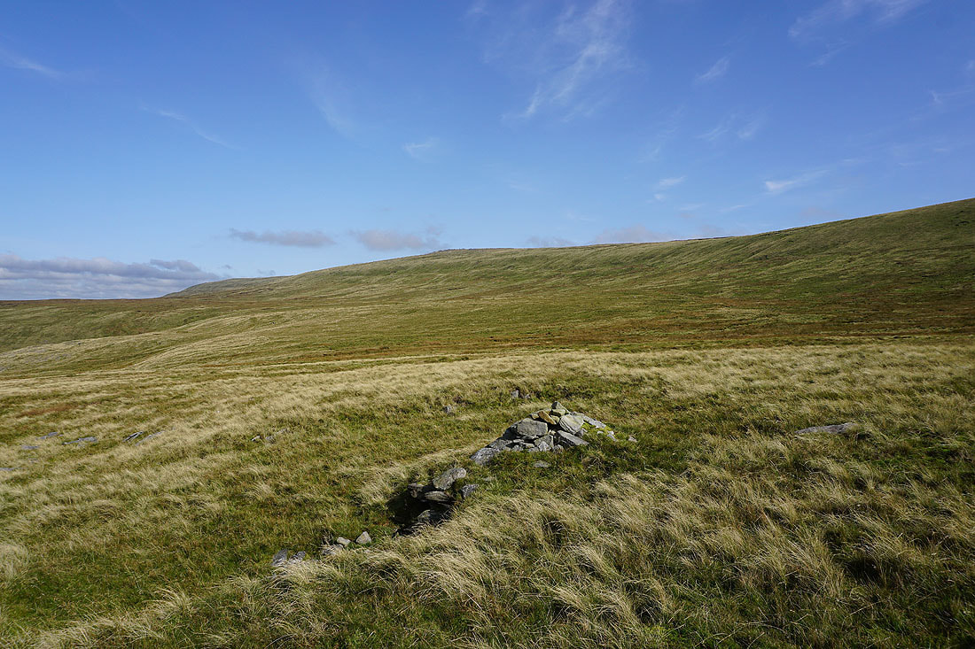
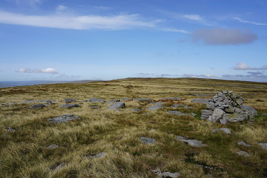
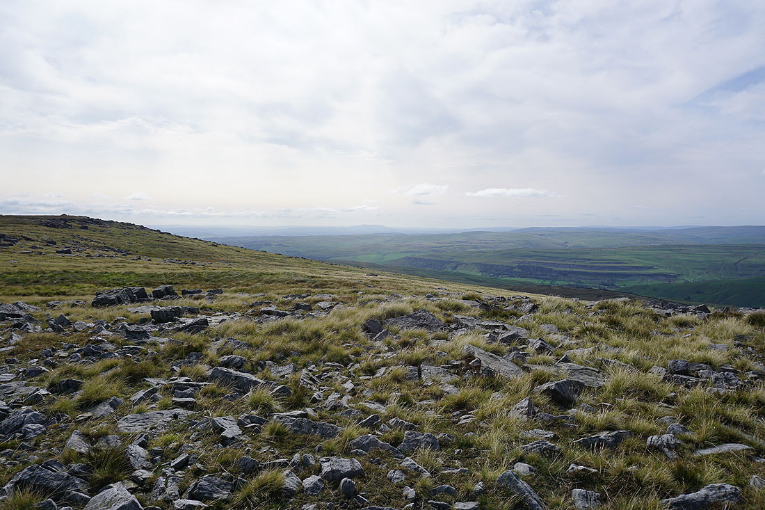
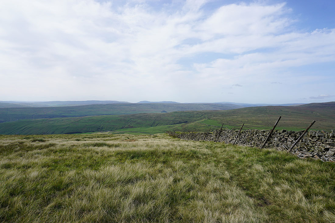
The moorland around Coverdale to the northeast
Blackfell Top and the summit of Great Whernside from Black Dike End
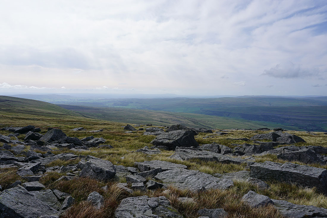
Fountains Fell, Penyghent, Old Cote Moor Top, Plover Hill and Whernside as I make my descent from Black Dike End
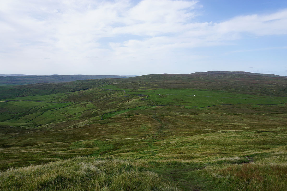
There's boggy ground to cross to reach the Kettlewell to Coverdale road
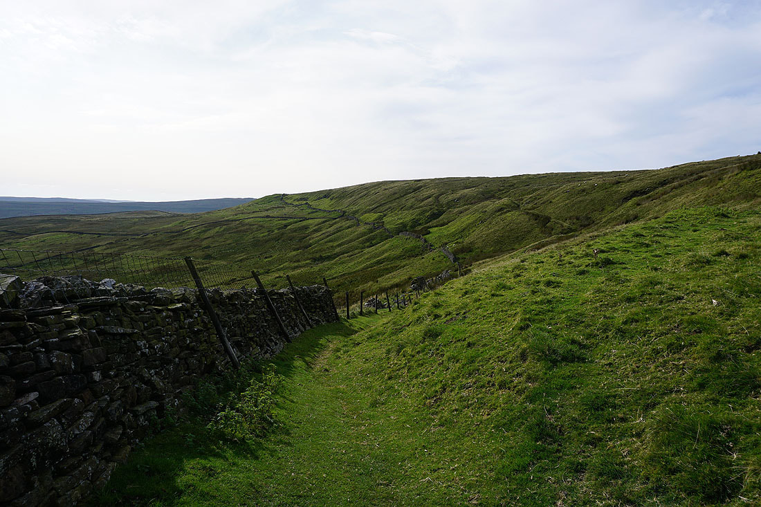
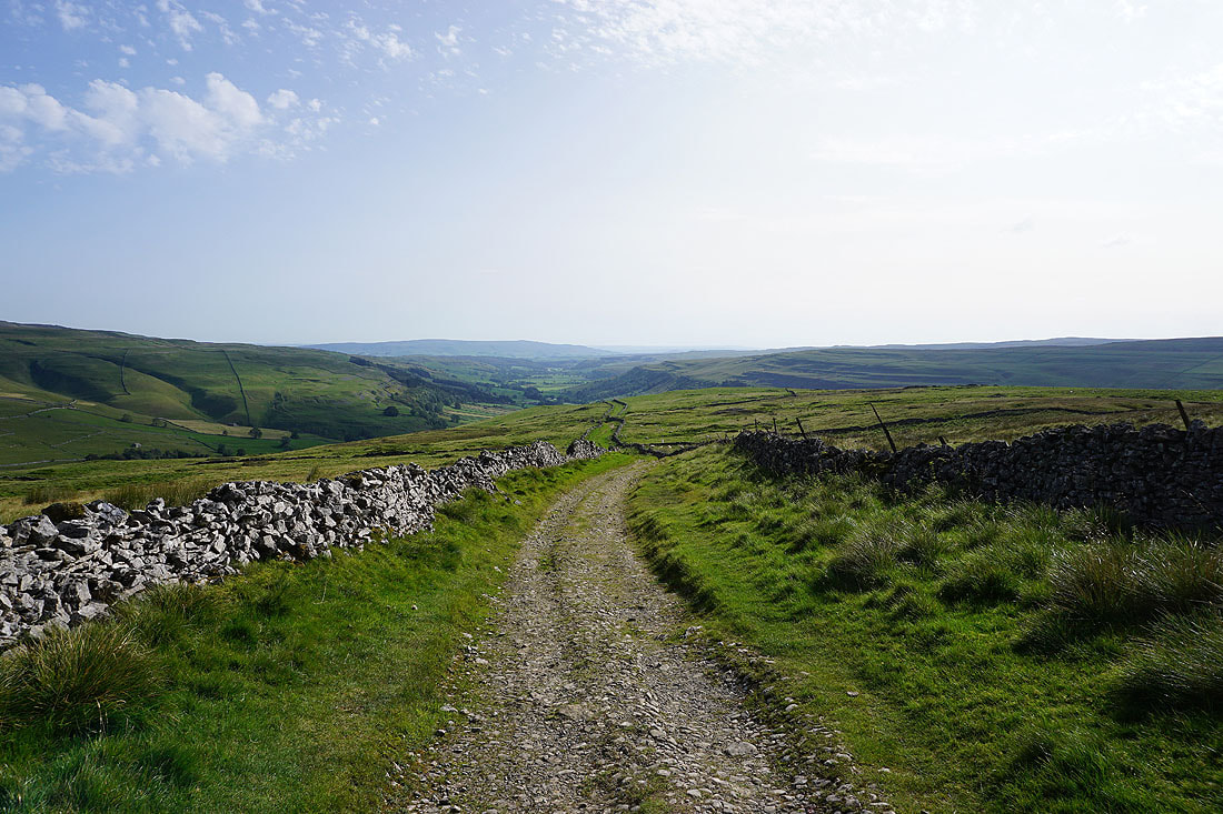
Having crossed the road, on the bridleway along Tor Dike..
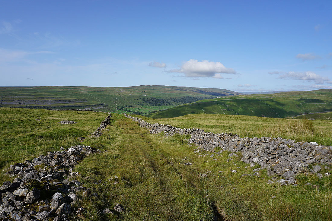
..with a great view down Cam Gill to Wharfedale and Barden Moor
The western slopes of Great Whernside
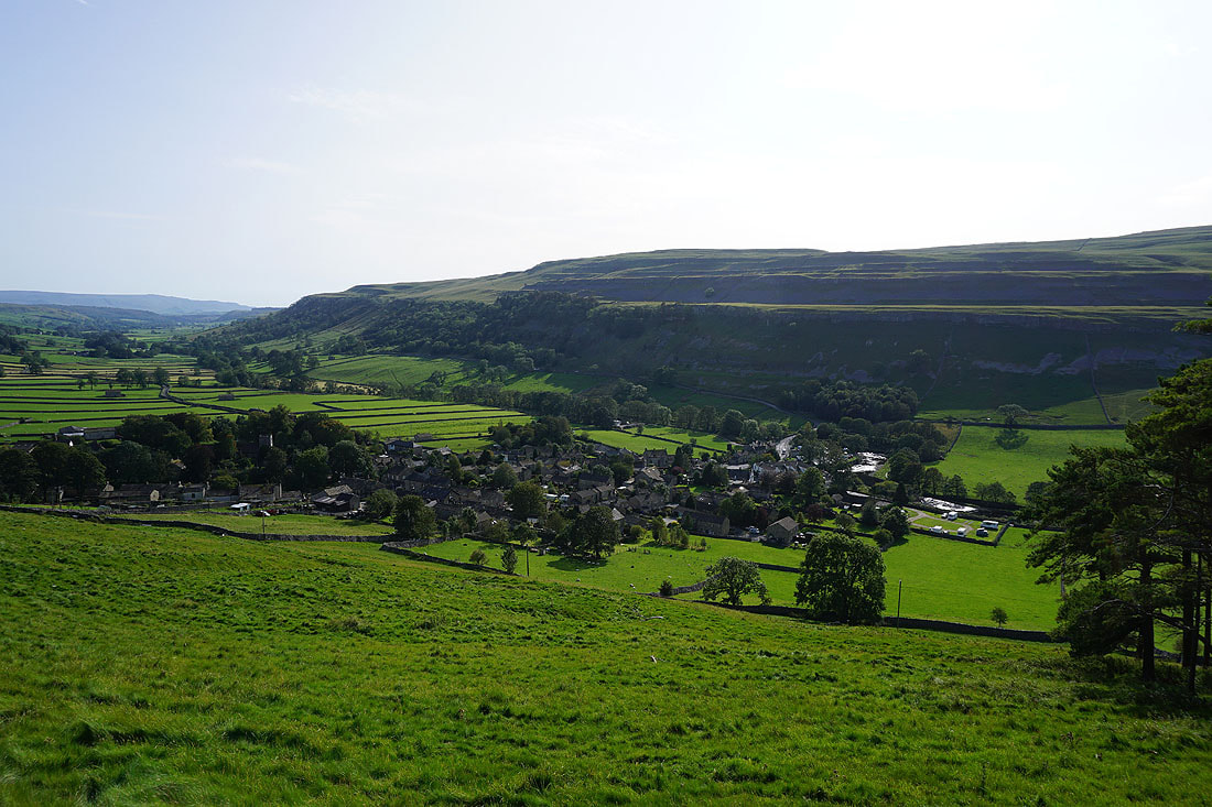
Great views of Wharfedale as I follow the track of Top Mere Road down to Kettlewell....
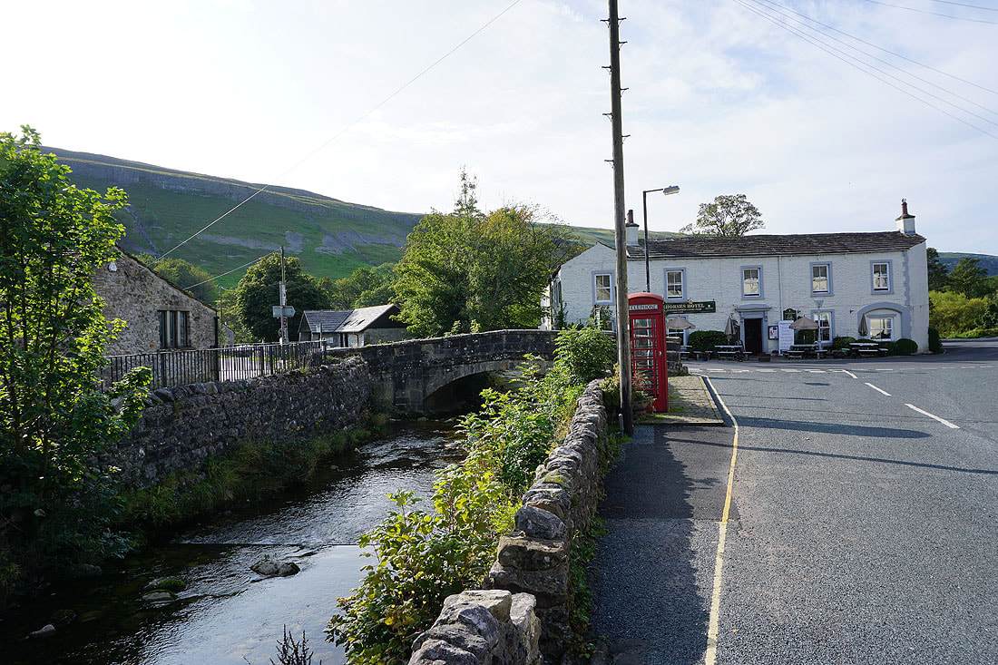
The bridge over Cam Gill Beck and the Racehorses Hotel as I make it back to Kettlewell
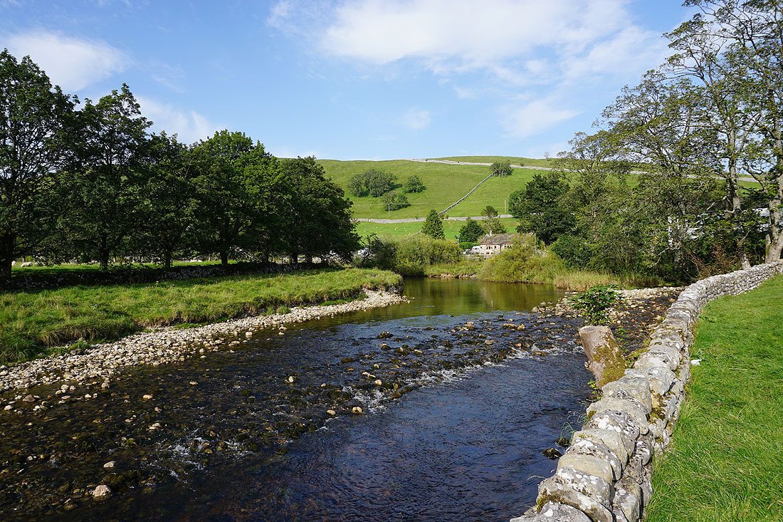
My final photo is of the River Wharfe from the car park