18th September 2021 - Pendle Hill
Walk Details
Distance walked: 9.3 miles
Total ascent: 1754 ft
OS map used: OL41 - Forest of Bowland & Ribblesdale
Time taken: 4.5 hrs
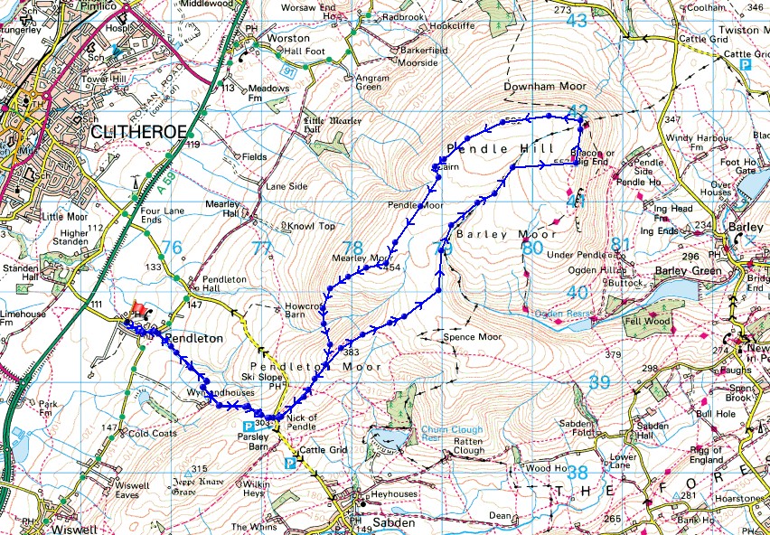
Route description: Pendleton-Wymondhouses-Nick of Pendle-Pendleton Moor-Ogden Clough-Pendle Hill-Downham Moor-Worston Moor-Mearley Moor-Ashendean Clough-Pendleton Moor-Nick of Pendle-Wymondhouses-Pendleton
Despite me having gone out for a walk on the previous three days I still fancied heading out for another one this afternoon. I stayed local and opted for Pendle Hill from Pendleton. I only did my first ascent from there back in June and quite enjoyed it, so decided to start from there again, though this time it was a shorter walk and didn't include the moorland to the west of the Nick of Pendle. It was a cloudy afternoon with not much in the way of sunshine, and quite hazy so that long distance views were quite restricted.
From the car park in Pendleton I walked east along the main street past the Swan with Two Necks pub and along the road to Sabden until I reached a track on the right with a public footpath sign. I took the path and followed it across fields and a footbridge over Pendleton Brook to reach Wymondhouses, and then the footpath round the farm and up a track to the Nick of Pendle. After crossing the road I followed the path up Pendleton Moor and into Ogden Clough, then the path up Ogden Clough and the flagged path up to the trig point and summit. After taking in the view I made my way north onto Downham Moor, then west across Downham Moor, over the ladder stile onto Worston Moor and on to the Scout Cairn, and then south across Mearley Moor to the Clayton-le-Moors Harriers cairn. I then descended from Mearley Moor into Ashendean Clough and crossed Howcroft Brook hoping to pick up the path to Mearley Hall. However, I couldn't find it and ended up making my way back up to the Nick of Pendle. From there I retraced my steps back to Pendleton.
Route map
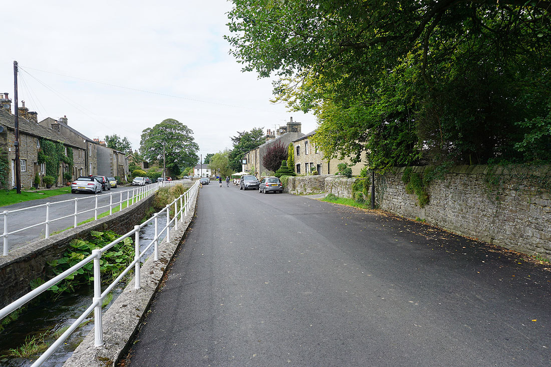
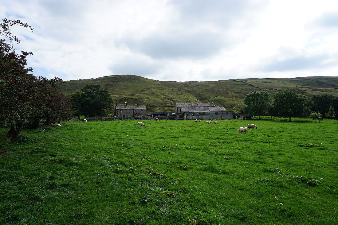
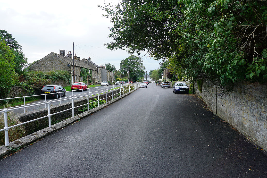
Leaving Pendleton behind
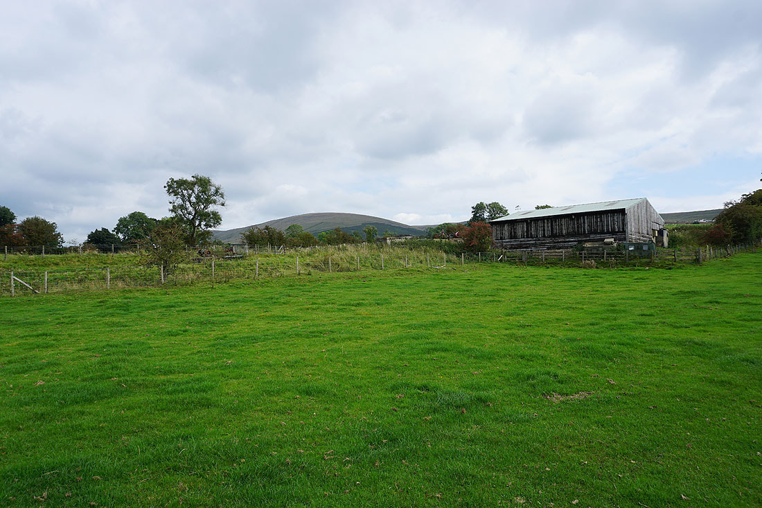
Mearley Moor in the distance as I take the path up to Wymondhouses
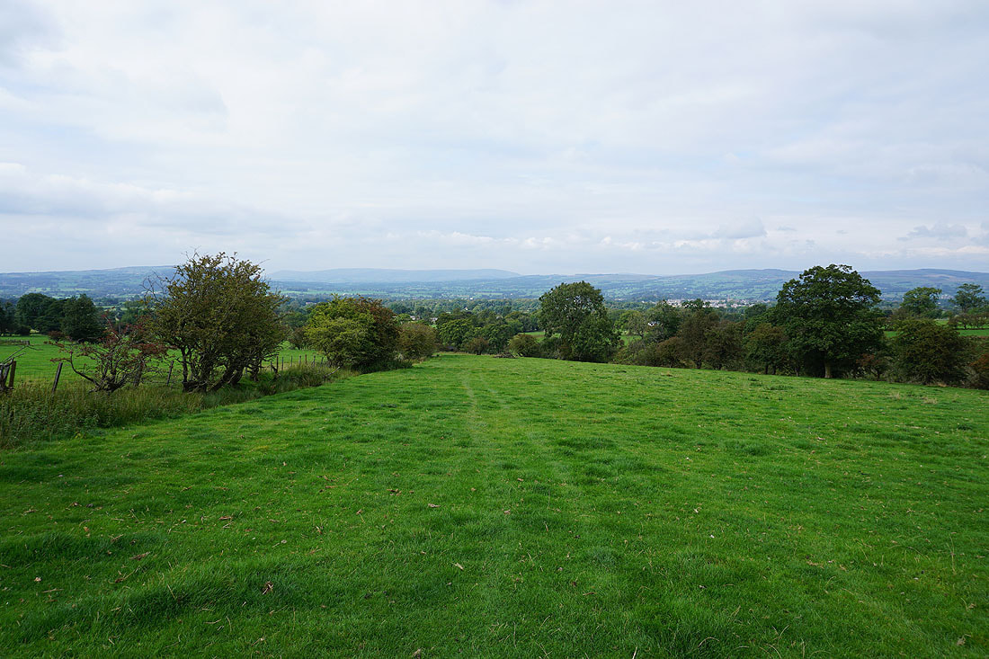
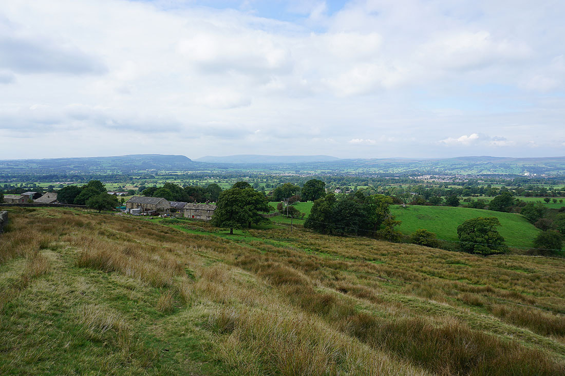
Looking across the Ribble Valley to the Forest of Bowland
The moorland of The Rough rises behind Wymondhouses
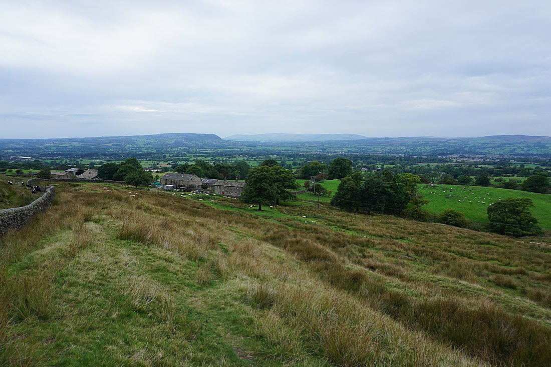
On the path up to the Nick of Pendle, and looking back to Wymondhouses and across the Ribble Valley to Longridge Fell, Parlick, Fair Snape Fell, Totridge, and Waddington Fell
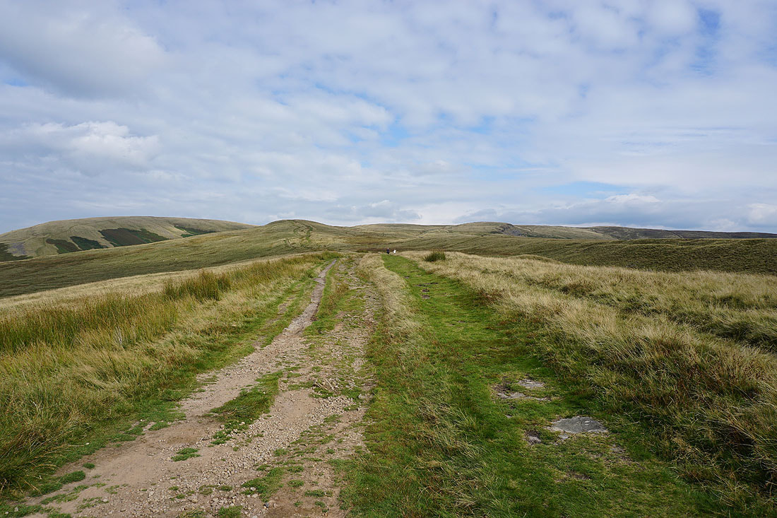
The bulk of Pendle Hill is now ahead of me after crossing the Nick of Pendle
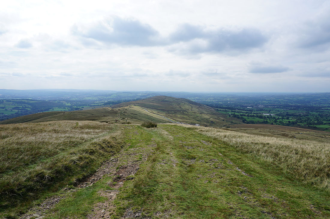
Looking back to the Nick of Pendle and The Rough
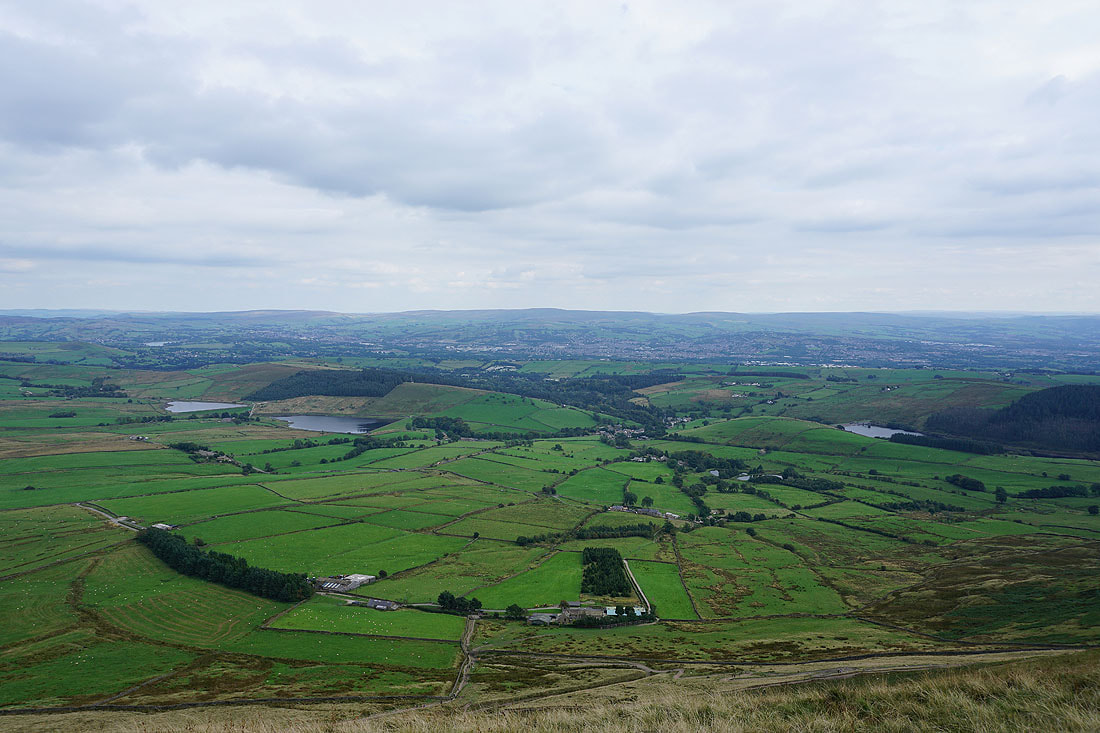
Churn Clough Reservoir, Sabden and the wooded Black Hill below, with the West Pennine Moors in the distance
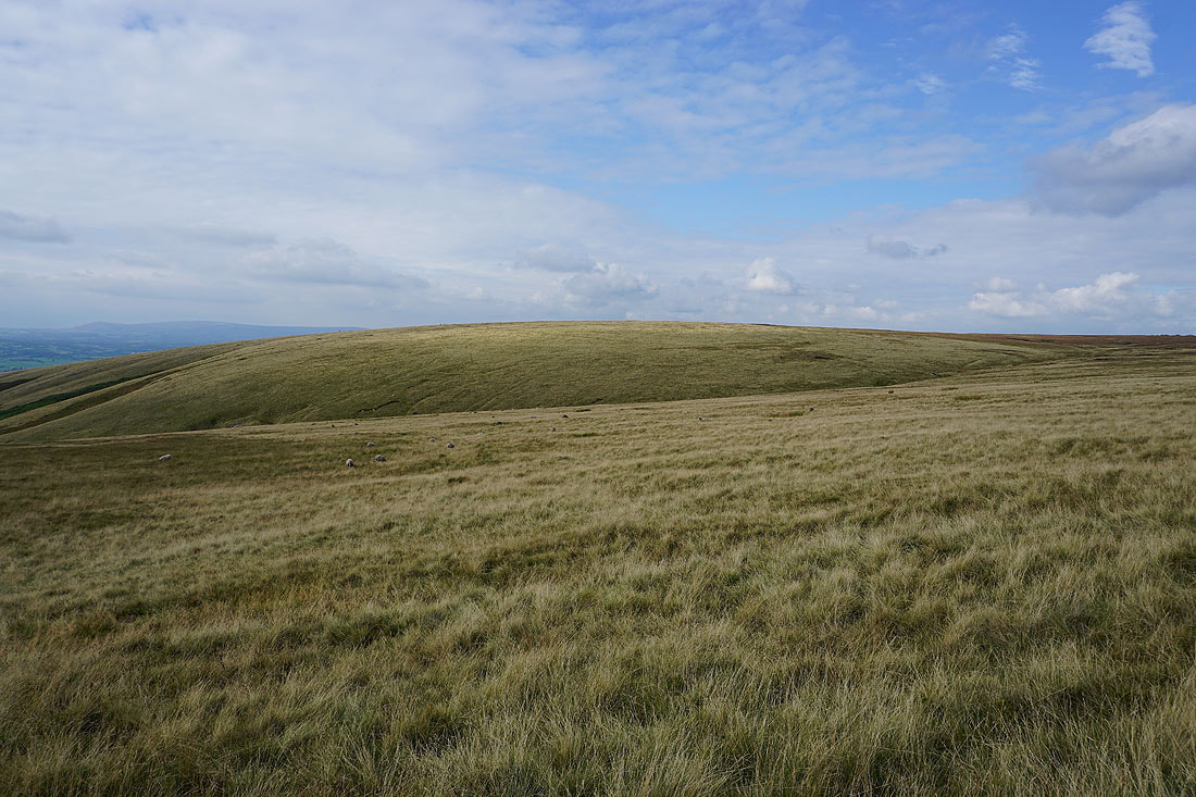
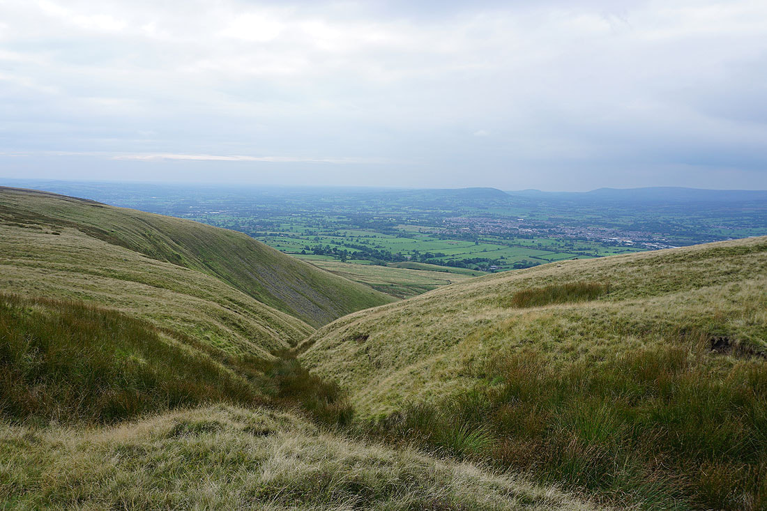
Mearley Moor on the other side of Ashendean Clough
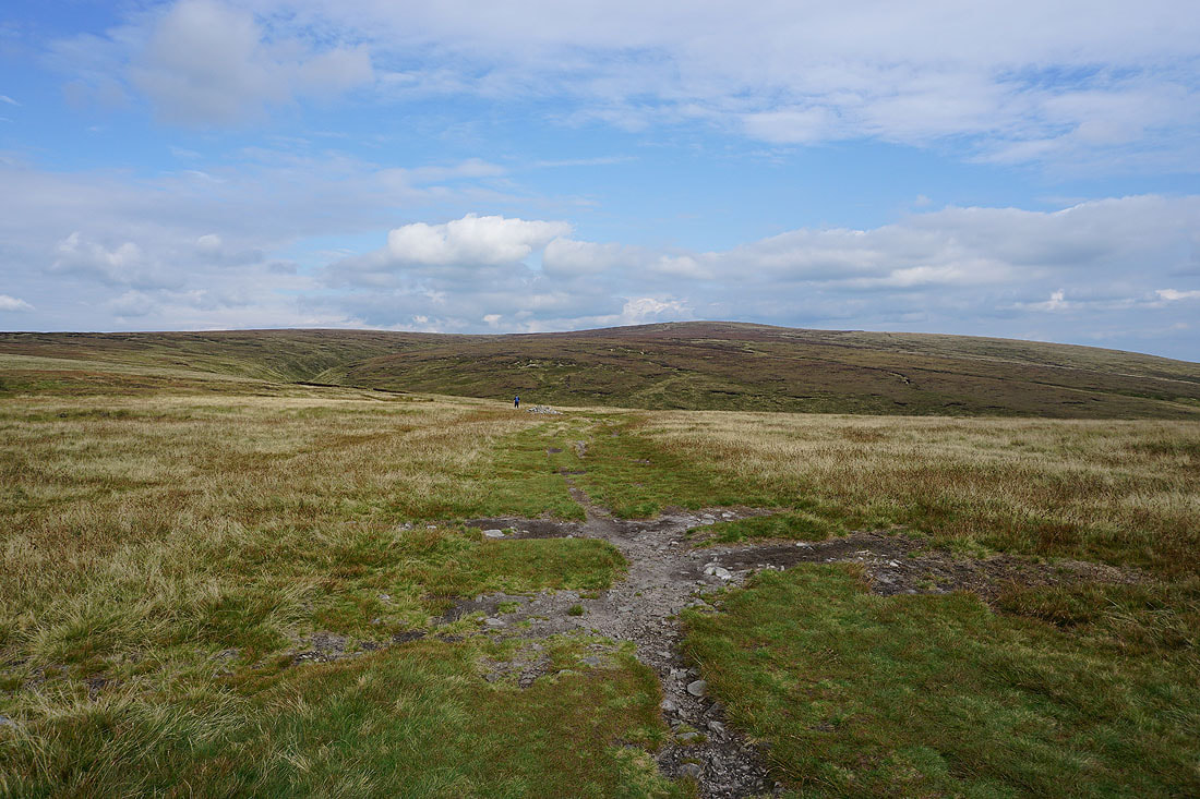
The summit of Pendle Hill ahead as I approach Ogden Clough
Making my way along the path up Ogden Clough
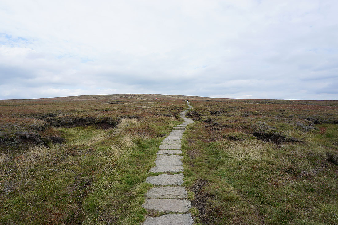
and then up the flagged path to the summit
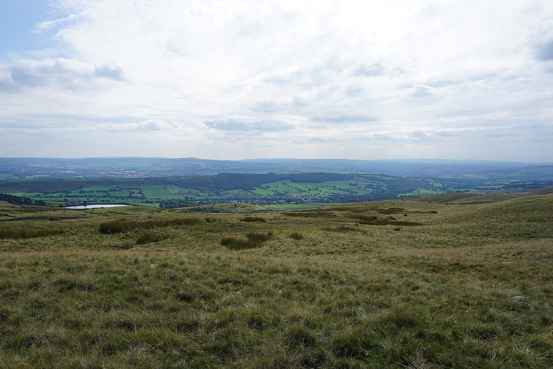
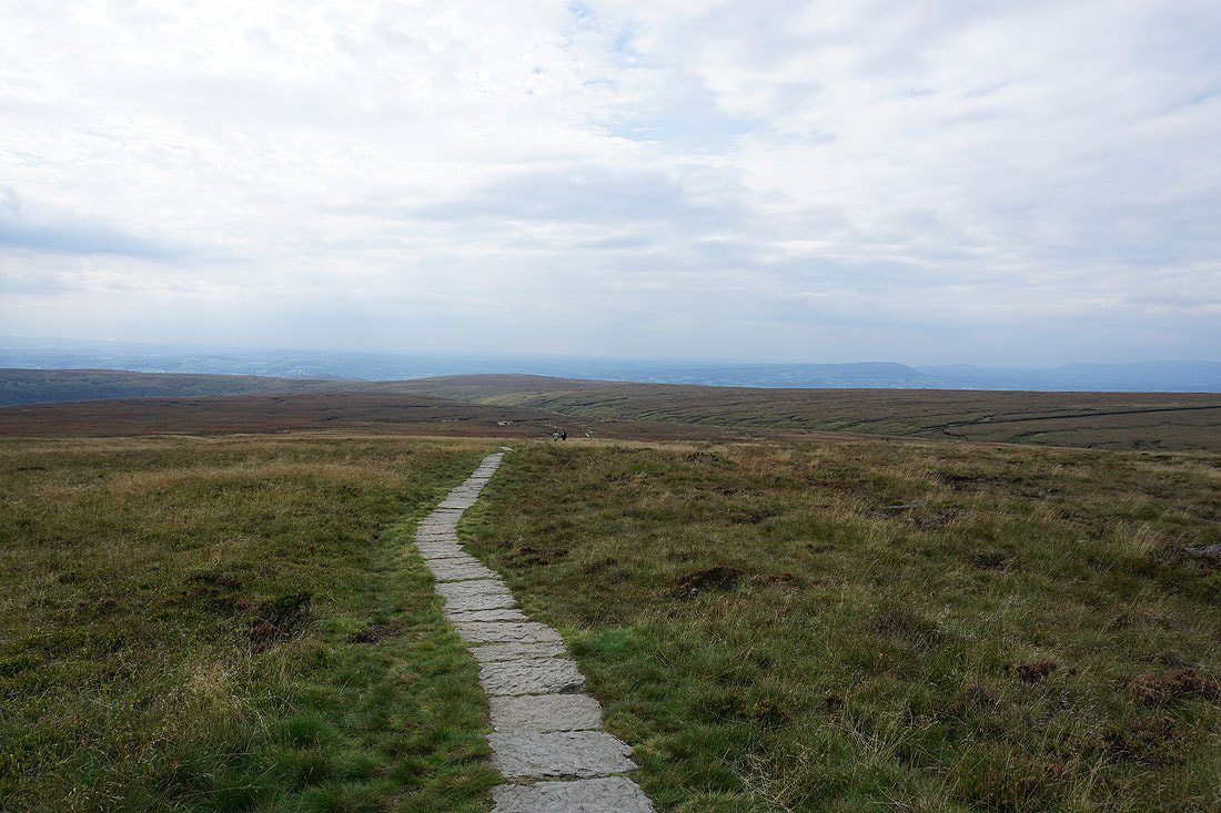
Looking back to the Ribble Valley in the distance
and across to the Forest of Bowland
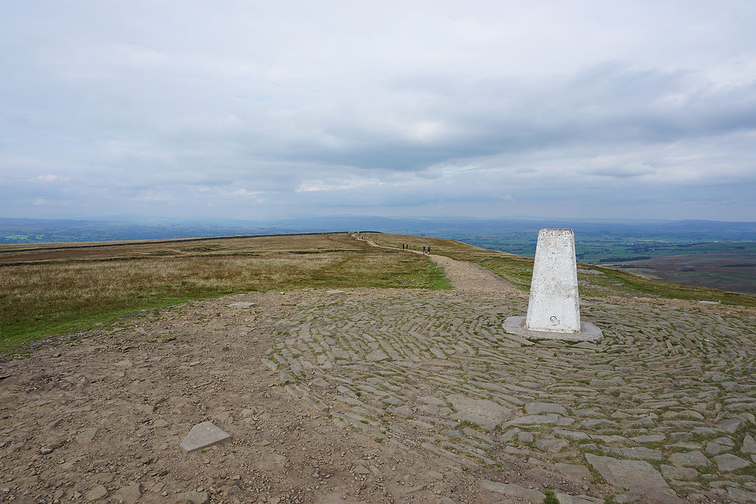
At the trig point on Pendle Hill
The view east from Pendle Hill with the Black Moss Reservoirs, Barley, and Lower Ogden Reservoir below, and Boulsworth Hill in the distance
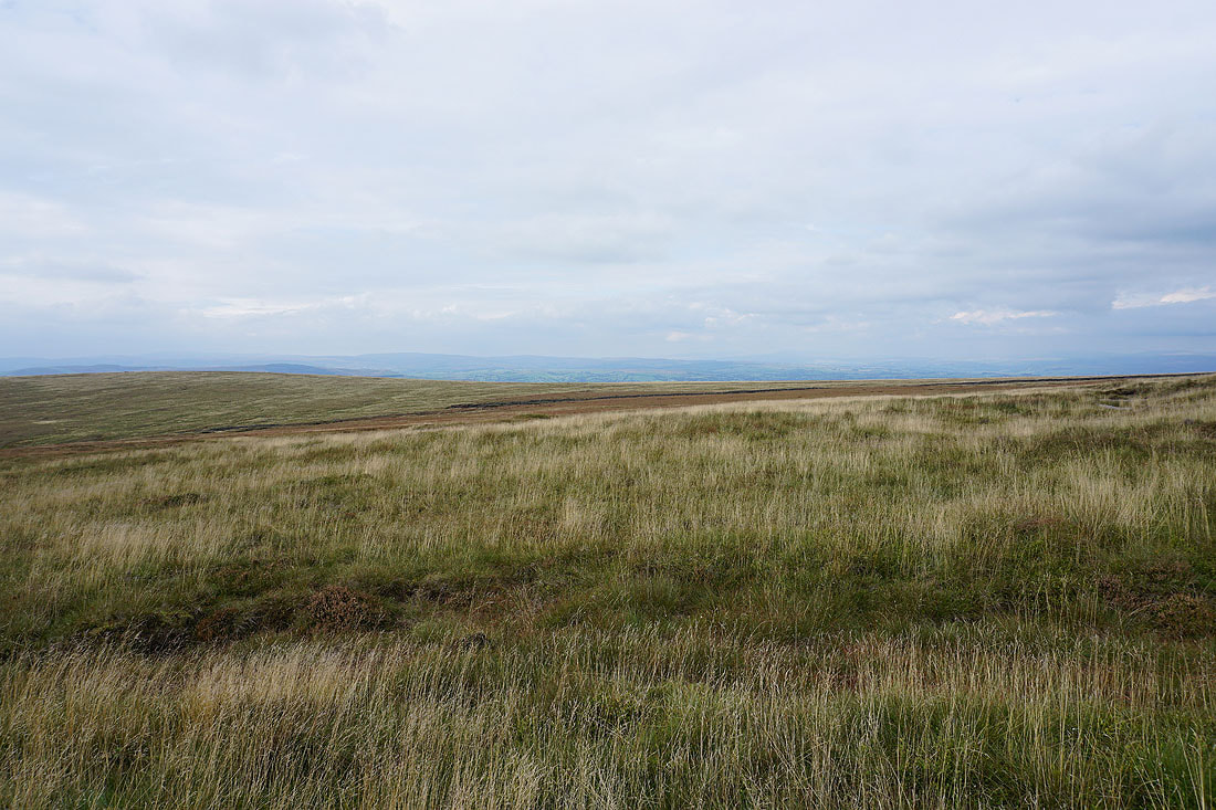
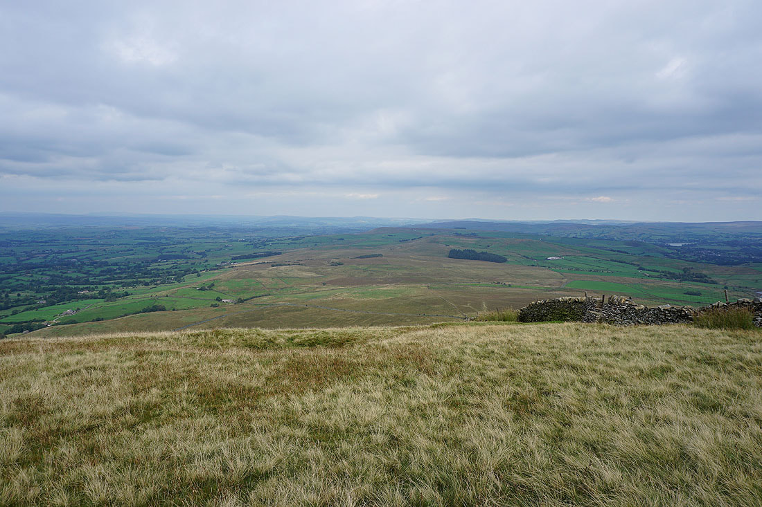
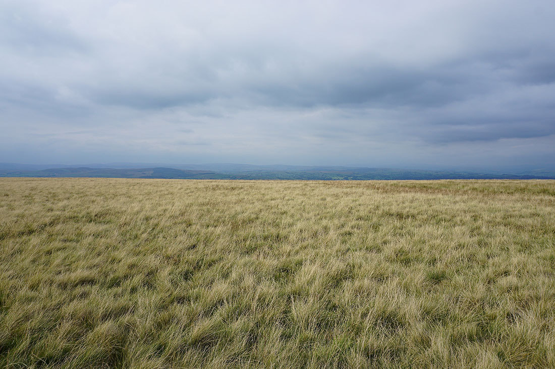
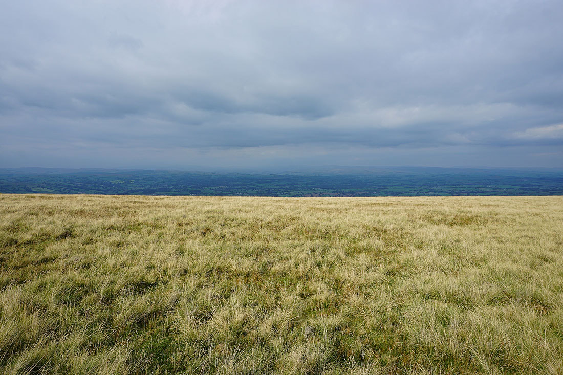
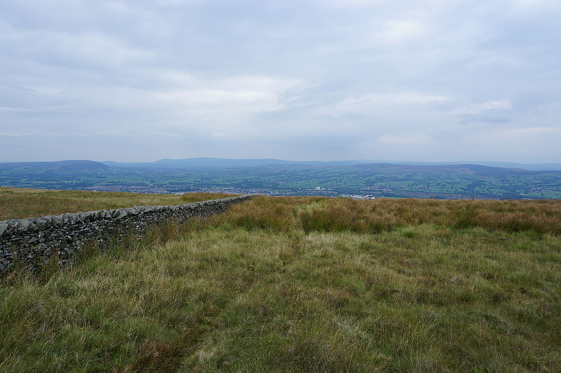
Looking across Downham Moor to the Forest of Bowland
and northeast across Twiston Moor to Weets Hill
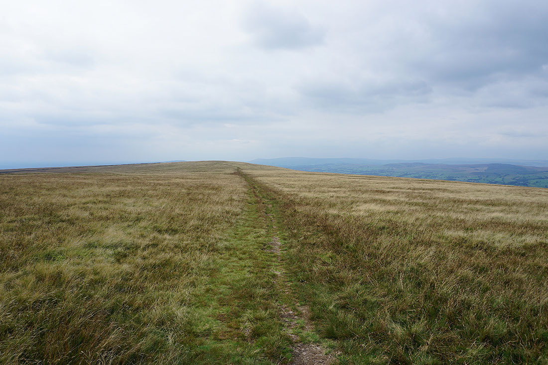
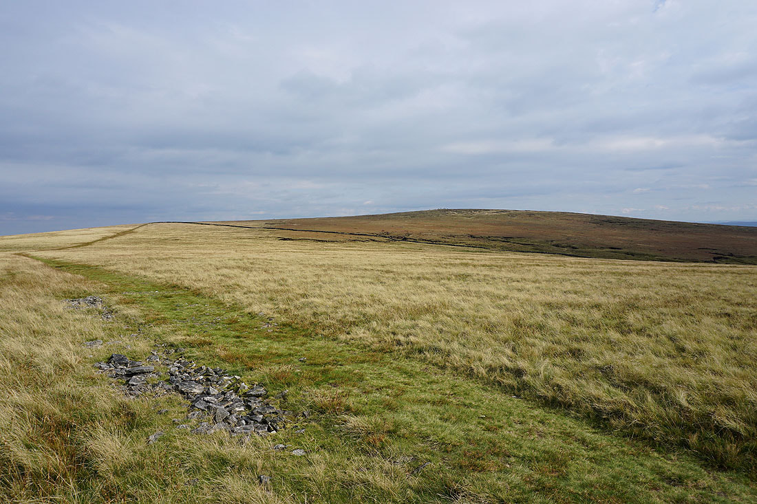
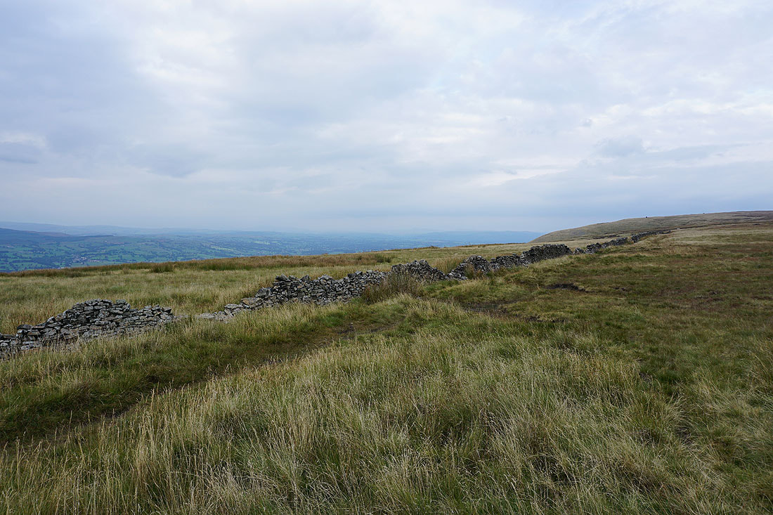
Heading across Downham Moor
Despite the haze I can make out Wolfhole Crag, White Hill and Catlow Fell beyond the forested Easington Fell in the Forest of Bowland
The Yorkshire Dales are more difficult though
Looking back to the summit of Pendle Hill
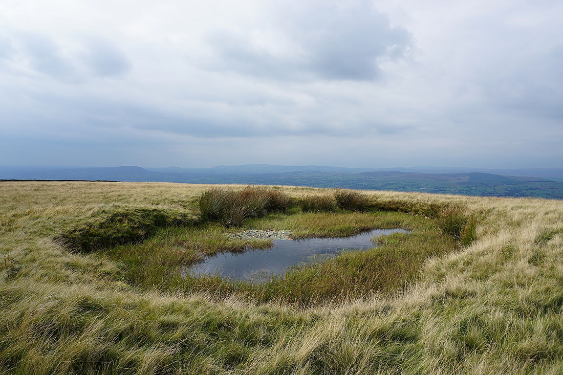
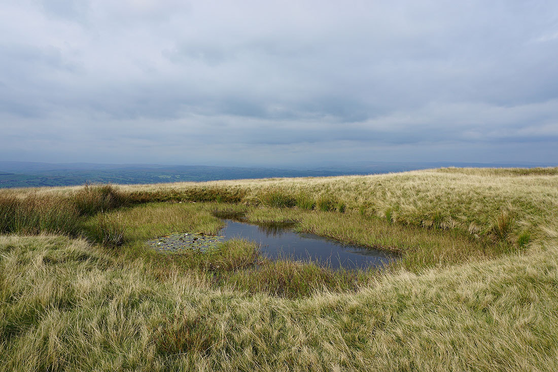
The pool on Downham Moor makes a good subject for a photo..
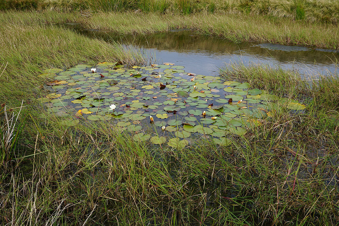
The water lilies in it are flowering
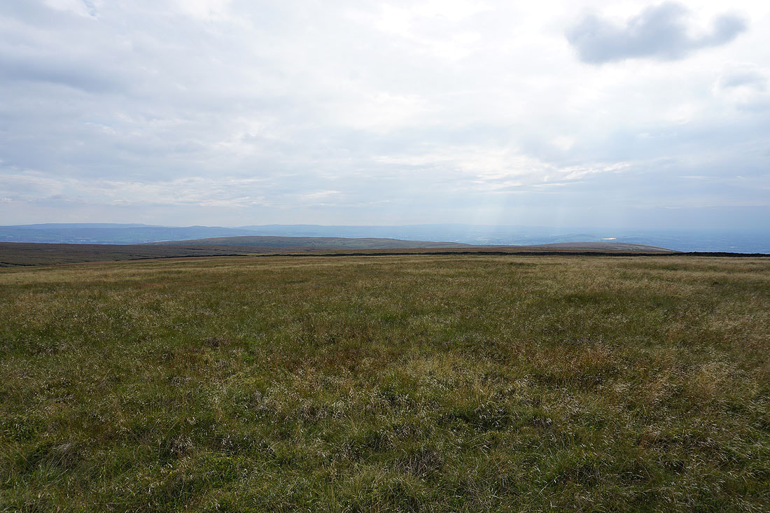
The West Pennine Moors in the distance beyond Spence Moor
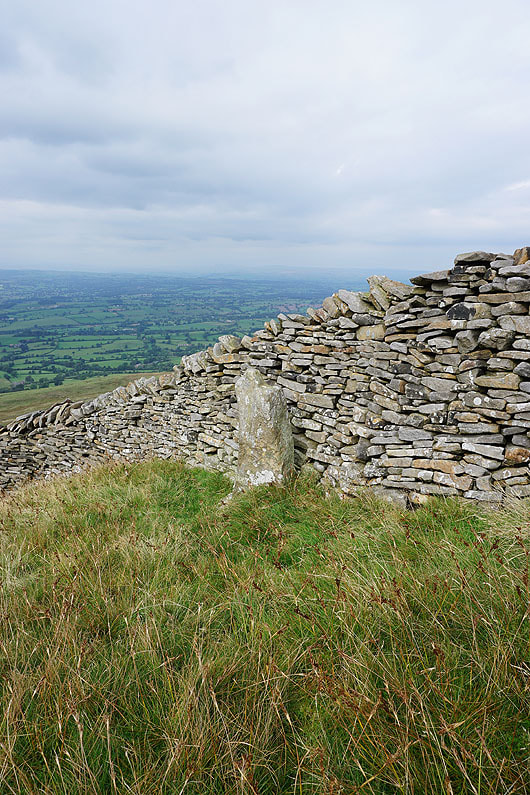
This could be a boundary stone, with the "W" on this side being for Worston
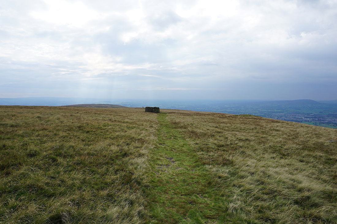
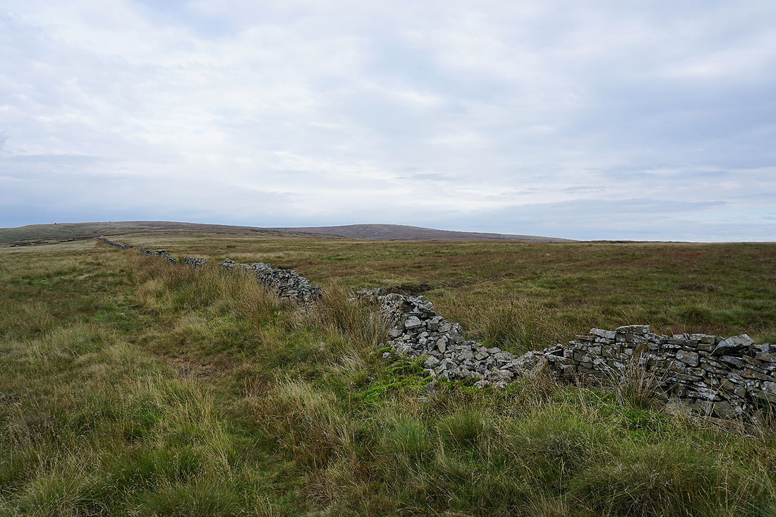
Heading across Worston Moor past the circular shelter to the Scout Cairn
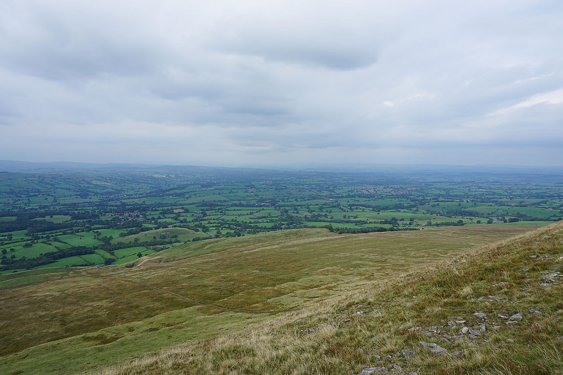
Looking up the Ribble Valley from the edge of Worston Moor..
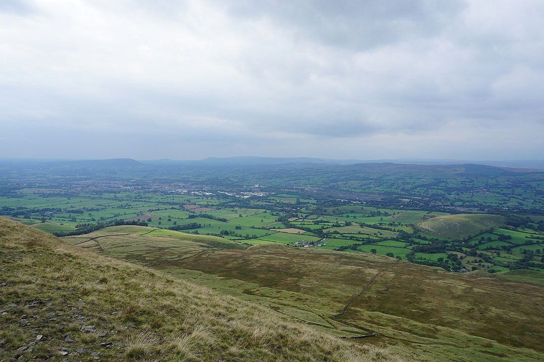
..and across to Clitheroe and the Forest of Bowland
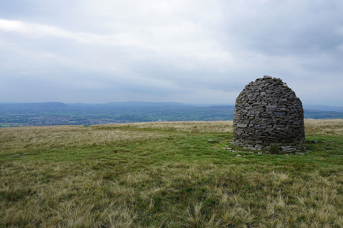
At the Scout Cairn, with the Forest of Bowland in the background
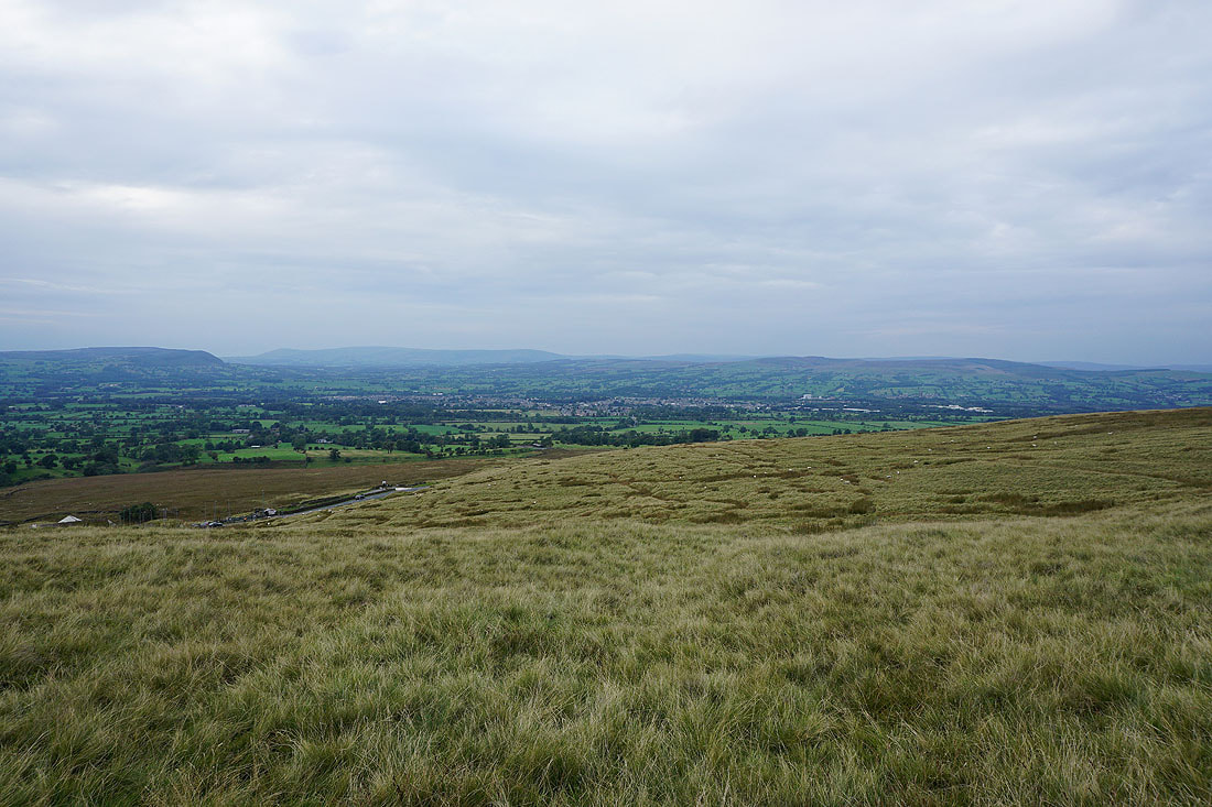
The Ribble Valley below as I cross the top of Mearley Brook
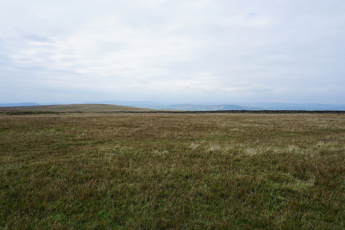
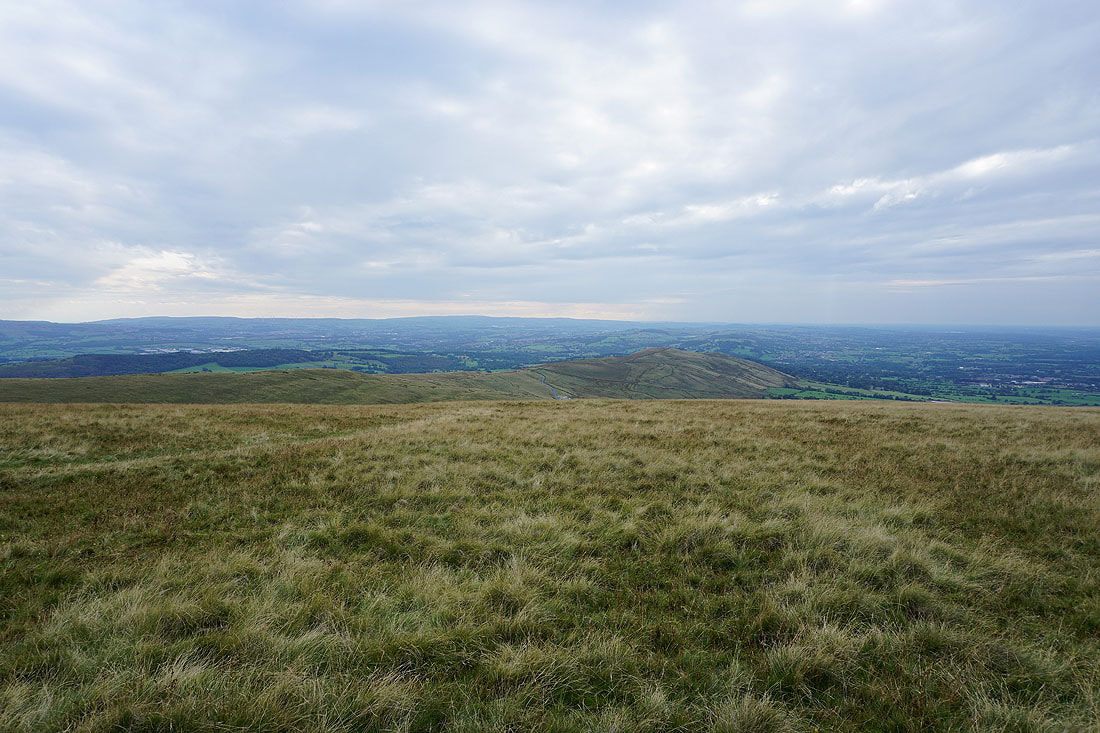
On Mearley Moor. I can just about make out the Yorkshire Dales in the distance
Looking across the Ribble Valley to Longridge Fell, Beacon Fell, Parlick, Fair Snape Fell, Totridge and Waddington Fell
The bulk of Pendle Hill rises to the northeast
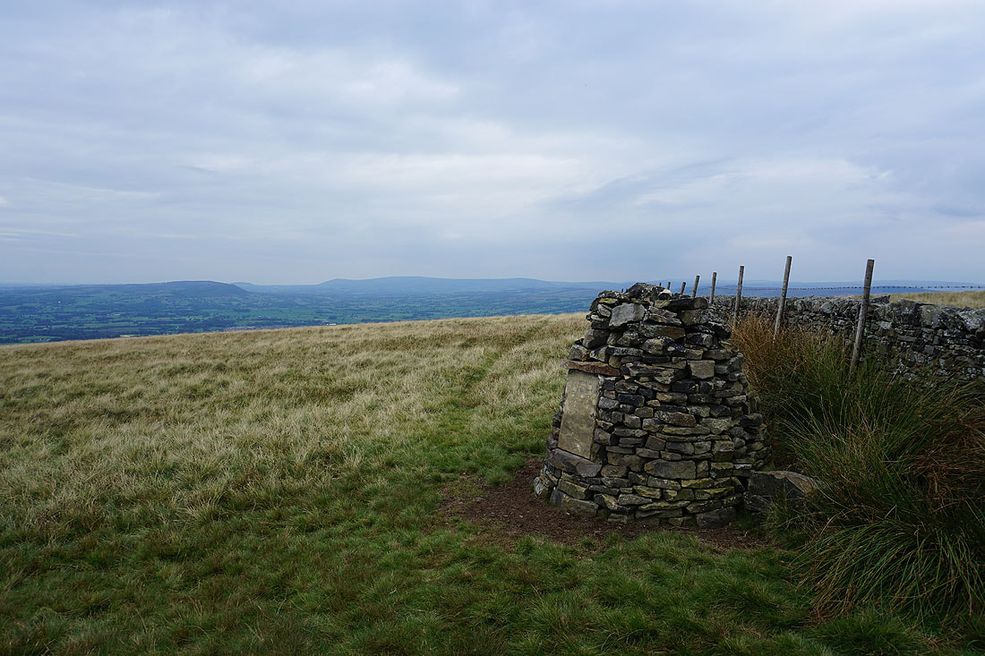
The Clayton-le-Moors Harriers cairn at the western end of Mearley Moor
The West Pennine Moors in the distance
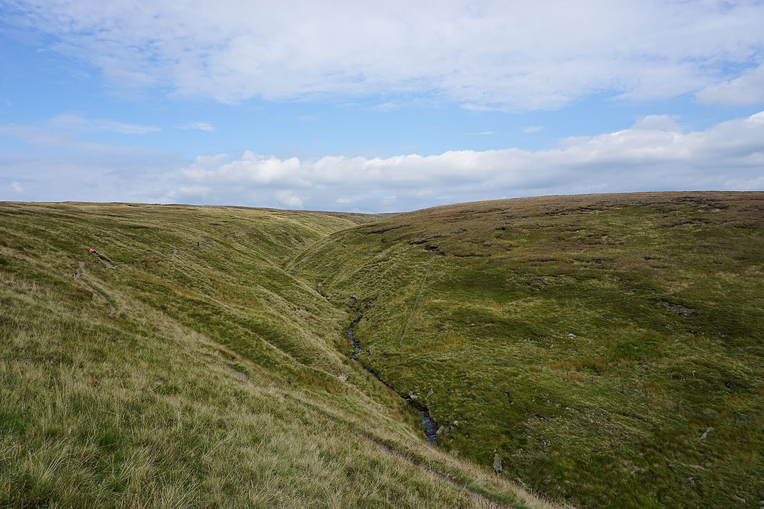
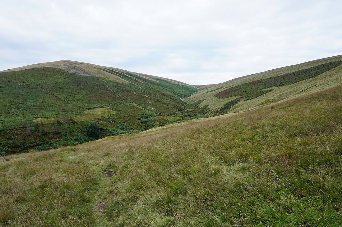
Ashendean Clough after descending from Mearley Moor and crossing Howcroft Brook
Looking across the Ribble Valley to the Forest of Bowland from the Nick of Pendle
Having crossed the road at the Nick of Pendle, following the path down to Wymondhouses
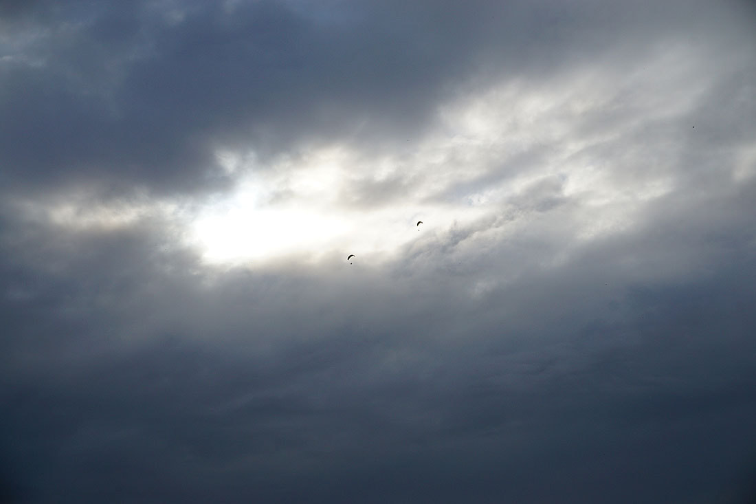
A noise above alerts me to the presence of two paragliders with fans strapped to their backs
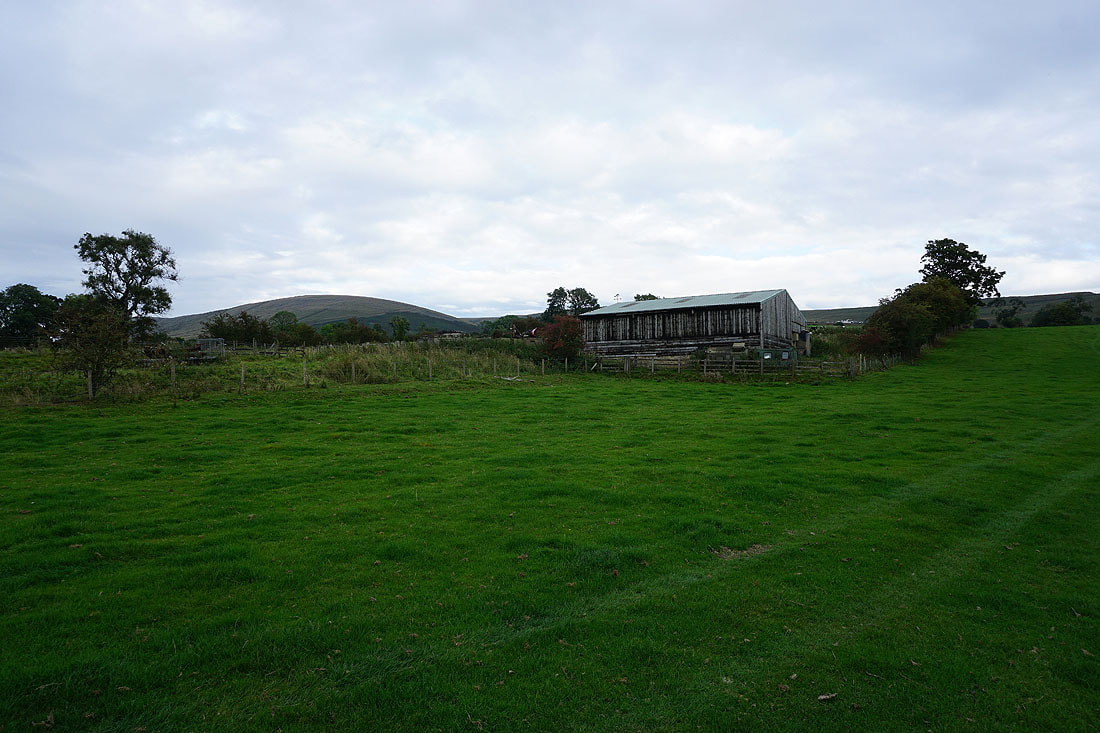
Mearley Moor in the distance as I approach Pendleton
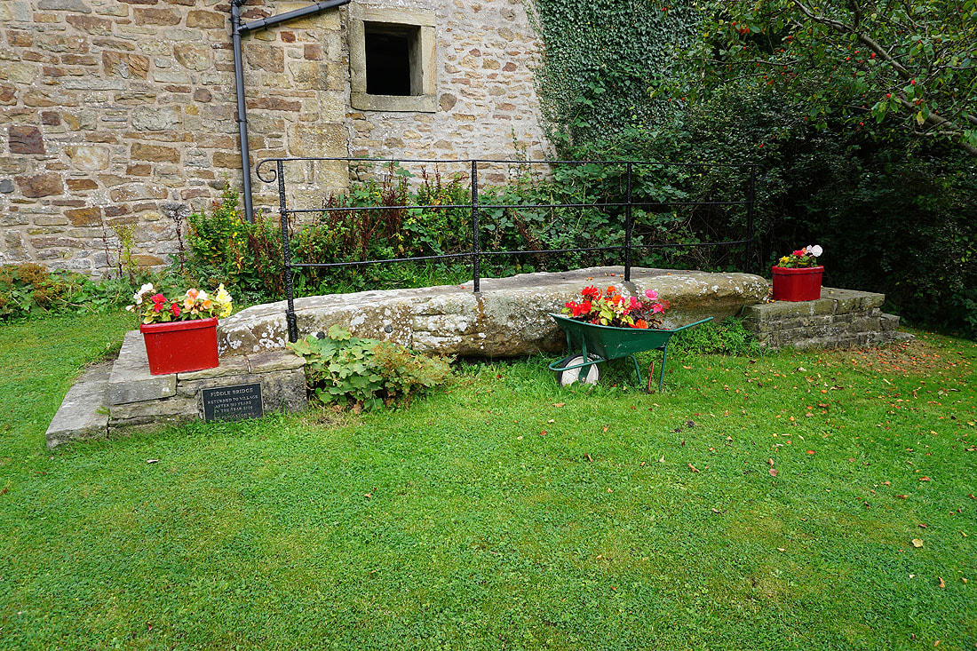
Fiddle Bridge. Returned to Pendleton in 2000 after a 100 year absence.
Back in Pendleton
