18th September 2023 - Boreraig and Suisnish
Walk Details
Distance walked: 10.3 miles
Total ascent: 1495 ft
OS map used: 412 - Skye, Sleat/Sleite
Time taken: 6 hrs
Route description: Cill Chriosd, B8083, Strath Suardal-Boreraig-Suisnish-Camas Malag-Kilbride-Loch Cill Chriosd-Cill Chriosd, B8083, Strath Suardal
It's been a long seven years since my only previous visit to the Isle of Skye. After booking accommodation in Breakish near Broadford a few months ago I'd really been looking forward to going there again. I've always stayed in B&Bs for my walking holidays but I thought that I'd give a glamping pod a try. It would be a home from home, meaning that I could come and go as I pleased. There are a few glamping pod sites on Skye, I decided on the one near Broadford as I'd stayed in that area last time so knew my way around. I found it to be a pleasurable experience, and one that I'll definitely try again. The next time I visit Skye I think I'll try the site near Portree. The forecast for this week is changeable to say the least, as none of the days will be dry, and it will always be windy, so I'm going to plan my day each morning based on what I should expect. For today's walk I picked a route that I'd earmarked for my first visit seven years ago and is in all the guidebooks I have for walking on the Isle of Skye. Starting from Strath Suardal near Broadford it takes in the abandoned settlements of Boreraig and Suisnish, and the coasts of Loch Eishort and Loch Slapin. The route is easy to follow with tracks or clear footpaths underfoot at all times. The forecast for the day was for it to brighten up after the clearance of early morning rain, then for sunshine and showers during the afternoon, and windy throughout. The coastal section of the walk is definitely the best part, and with sunny spells between the showers during the afternoon I enjoyed some views across Loch Eishort, and across Loch Slapin to Blabheinn and its surrounding mountains.
From where I parked by the side of the road at Cill Chriosd I walked east along the road until I reached a track on the right. I took this and followed it south up onto and across the moor, then onwards as it becomes a path and down to the ruins of the settlement of Boreraig and the shore of Loch Eishort. After a stop for lunch I resumed by taking the path west along the shoreline, up onto a headland, then north across the moor past the ruins of Suisnish to join a track. I followed this track north above the eastern shores of Loch Slapin and down to the coast at Camas Malag, where it meets the end of a road. A walk up this road brought me to the B8083 Elgol to Broadford road at Kilbride, and from here I had a walk east along the road to where I'd parked my car by the side of the road at Cill Chriosd.
Route map
© Crown copyright. All rights reserved. License number PU 100034184.

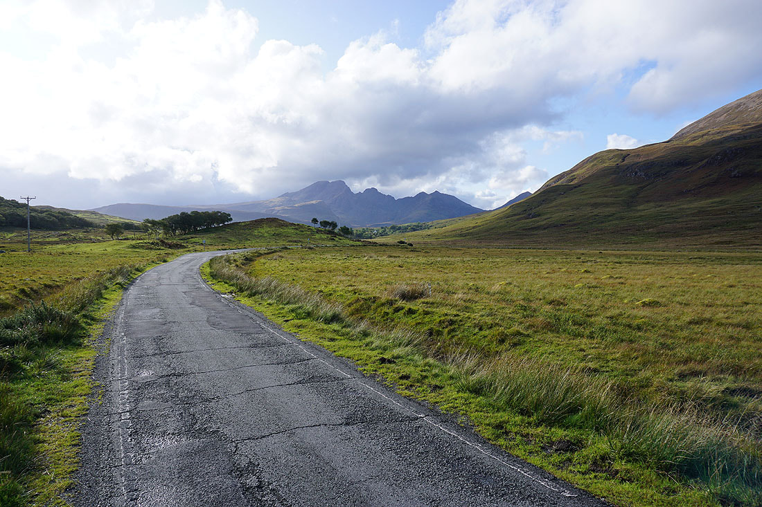
From where I parked my car I walk a short distance east along the road towards Broadford
I then take a clear track south up onto the southern slopes of Bheinn Shuardail..

Looking back I have a view across Strath Suardal to Beinn Dearg Bheag, Beinn Dearg Mhor, and Beinn na Caillich
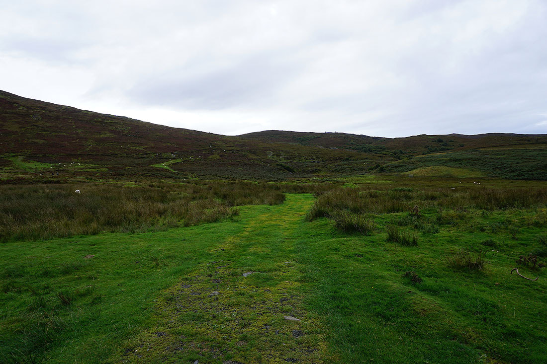
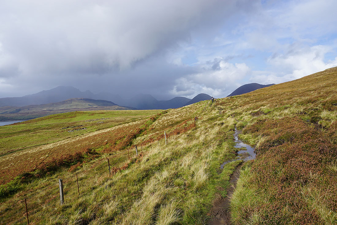
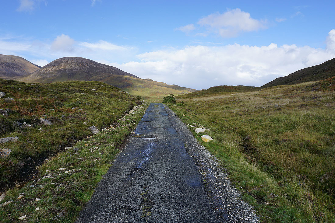
Following the track south across the moor. There's still some heather in bloom.
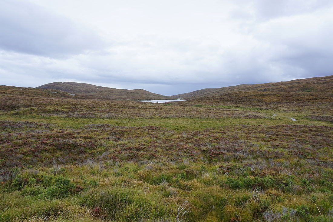
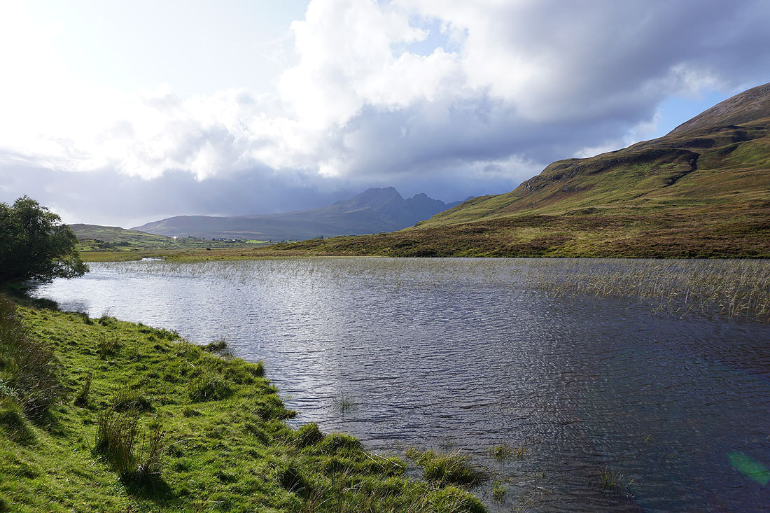
To my left, Loch Lonachan
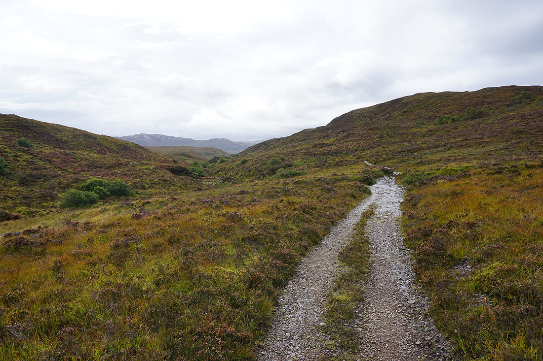
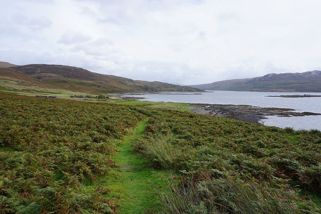
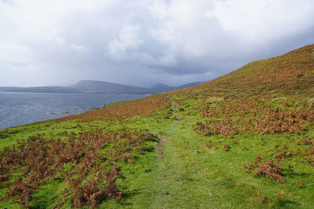
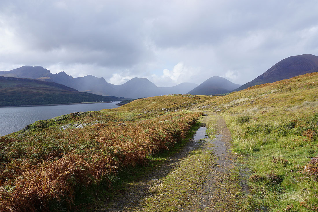
Continuing south the track becomes a path and heads down towards the shore of Loch Eishort, and the weather has improved for the best part of the walk..
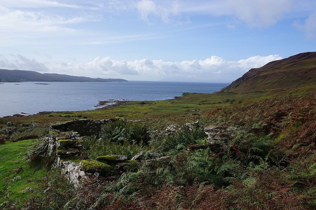
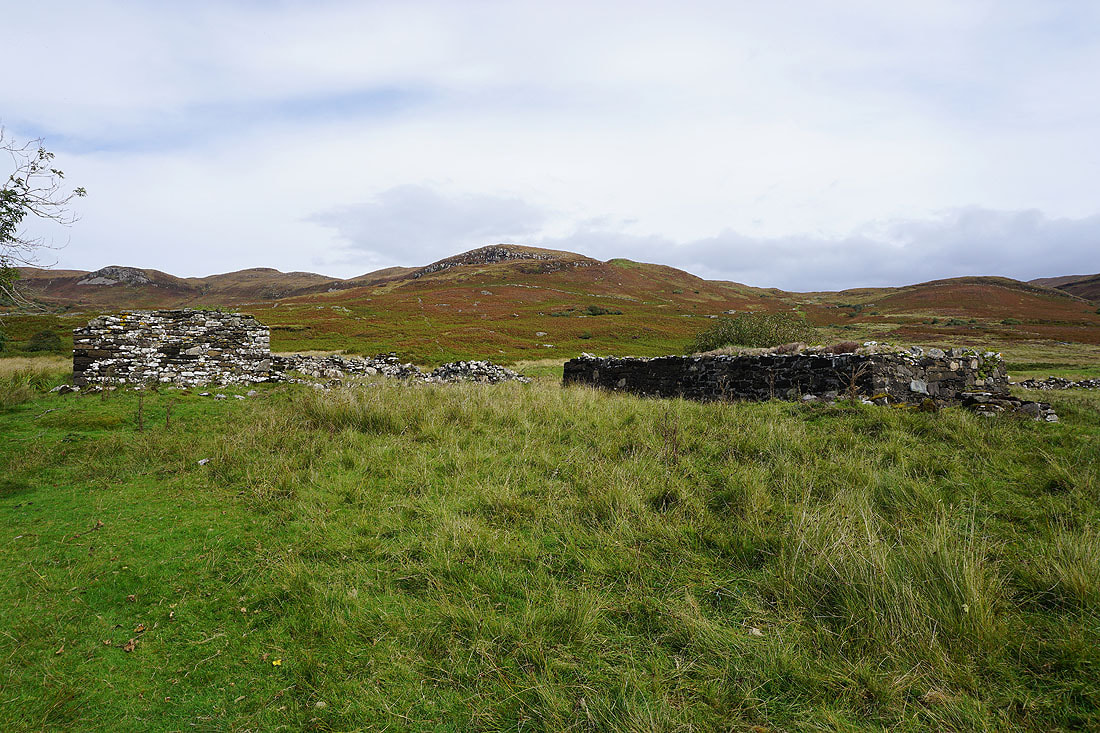
By a couple of the ruins of the crofts of Boreraig..
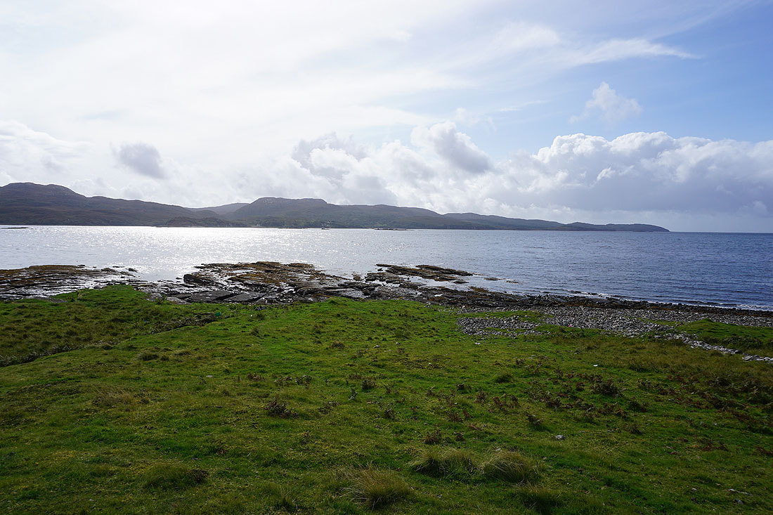
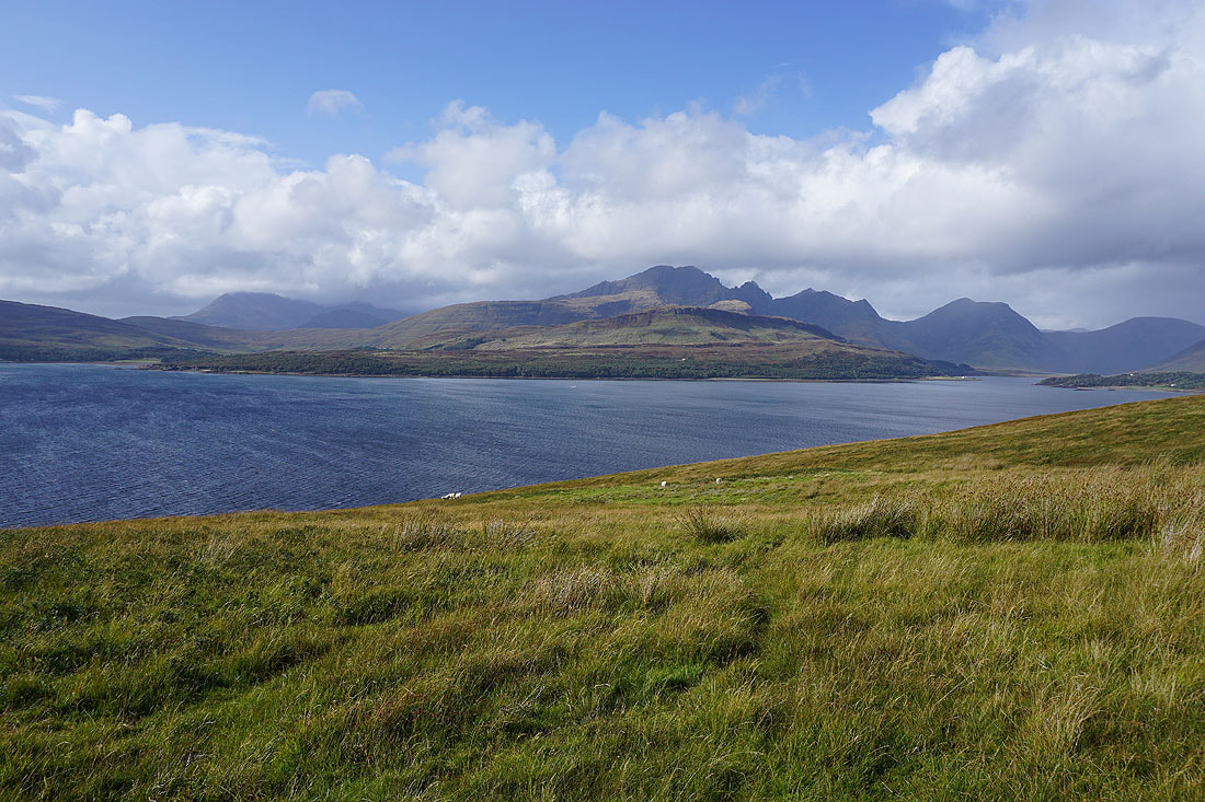
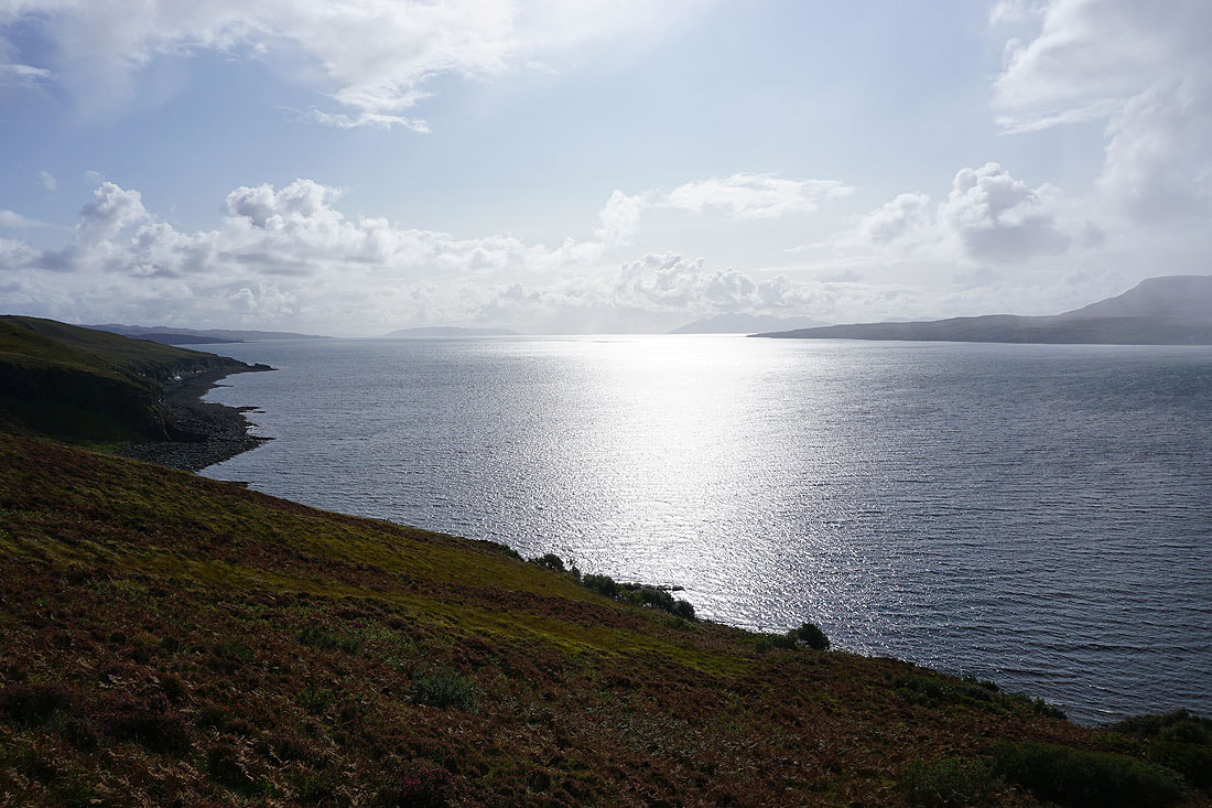
Looking across Loch Eishort to the northern shores of the Sleat peninsula
My route across from Strath Suardal came through that dip in the skyline
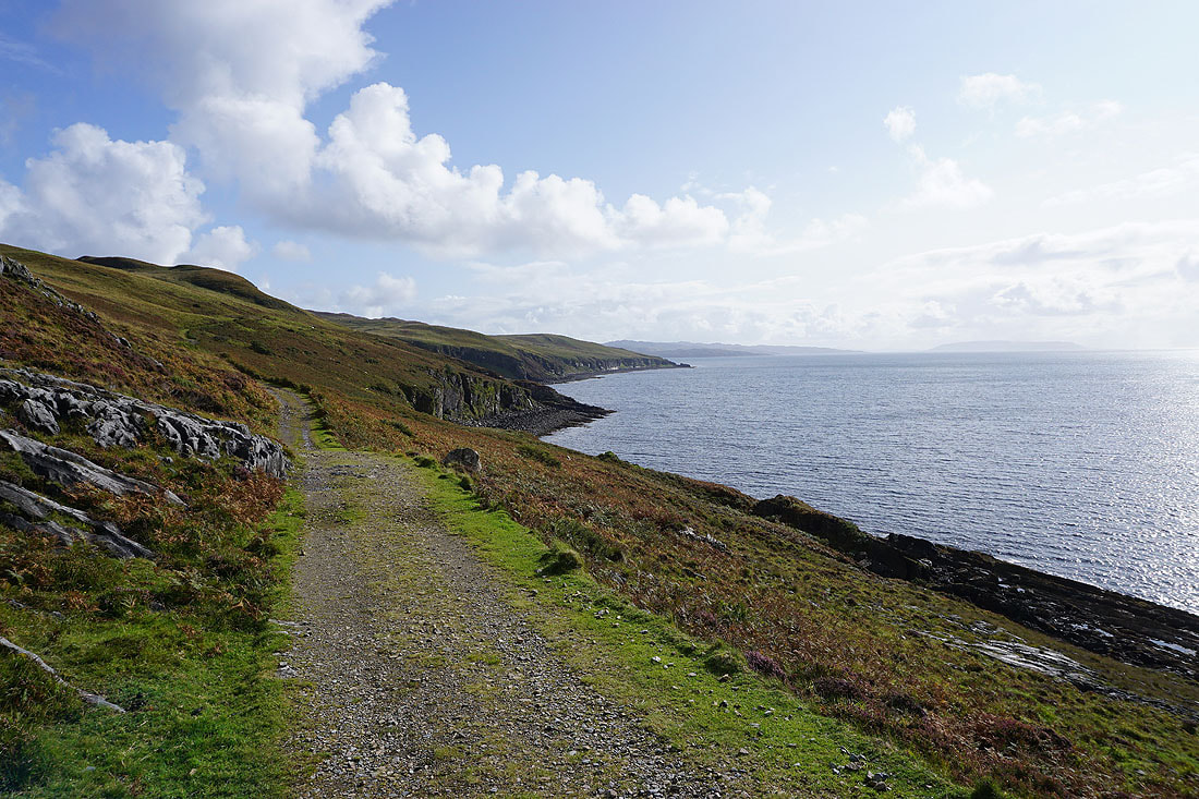
and now heads west along the coast
Looking back along the coast at Boreraig
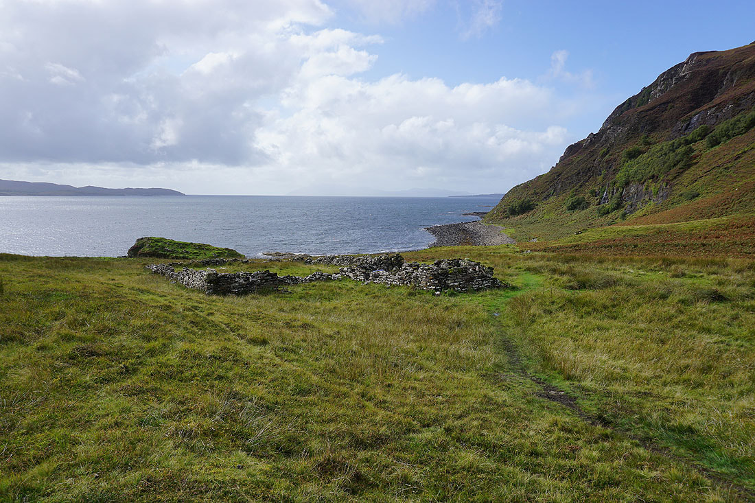
Passing the last of the ruined crofts

Looking across Loch Eishort to Sgiath-bheinn an Uird on the Sleat peninsula

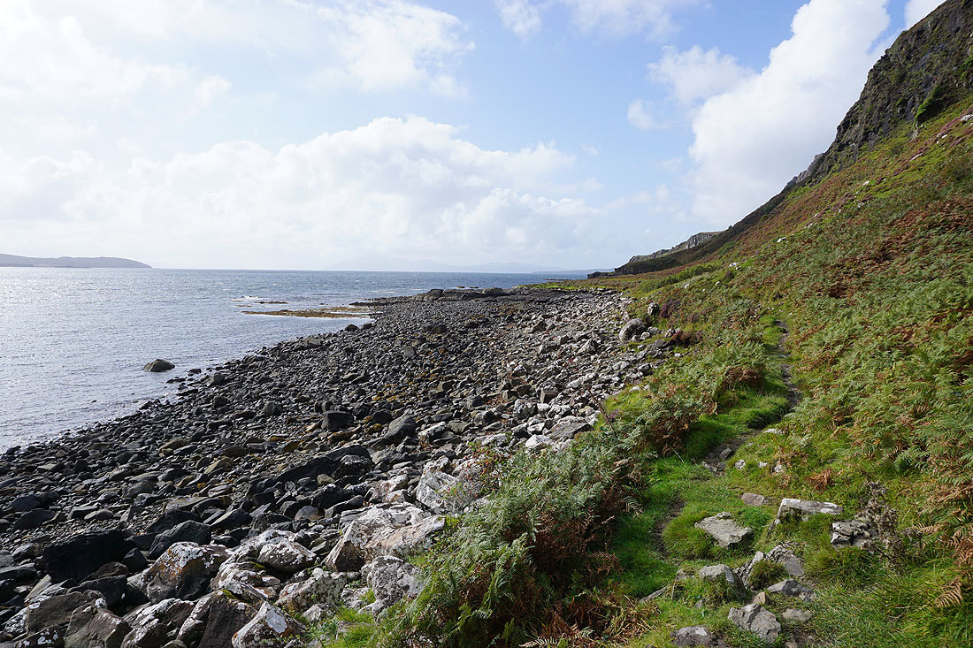
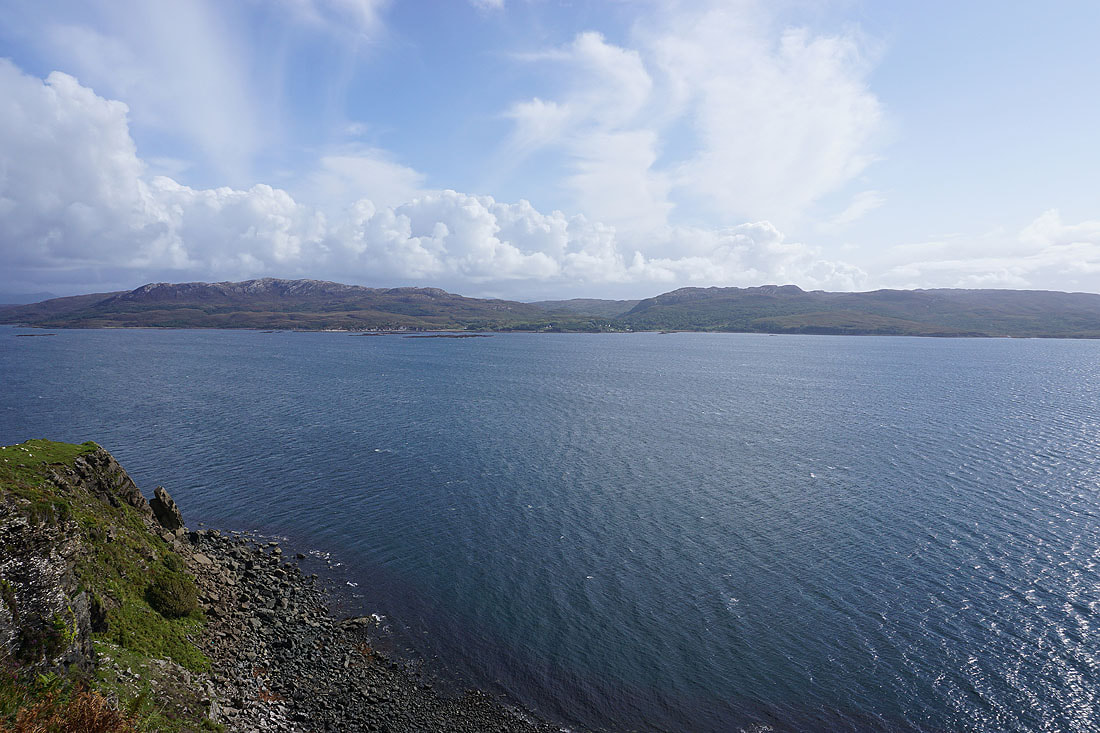
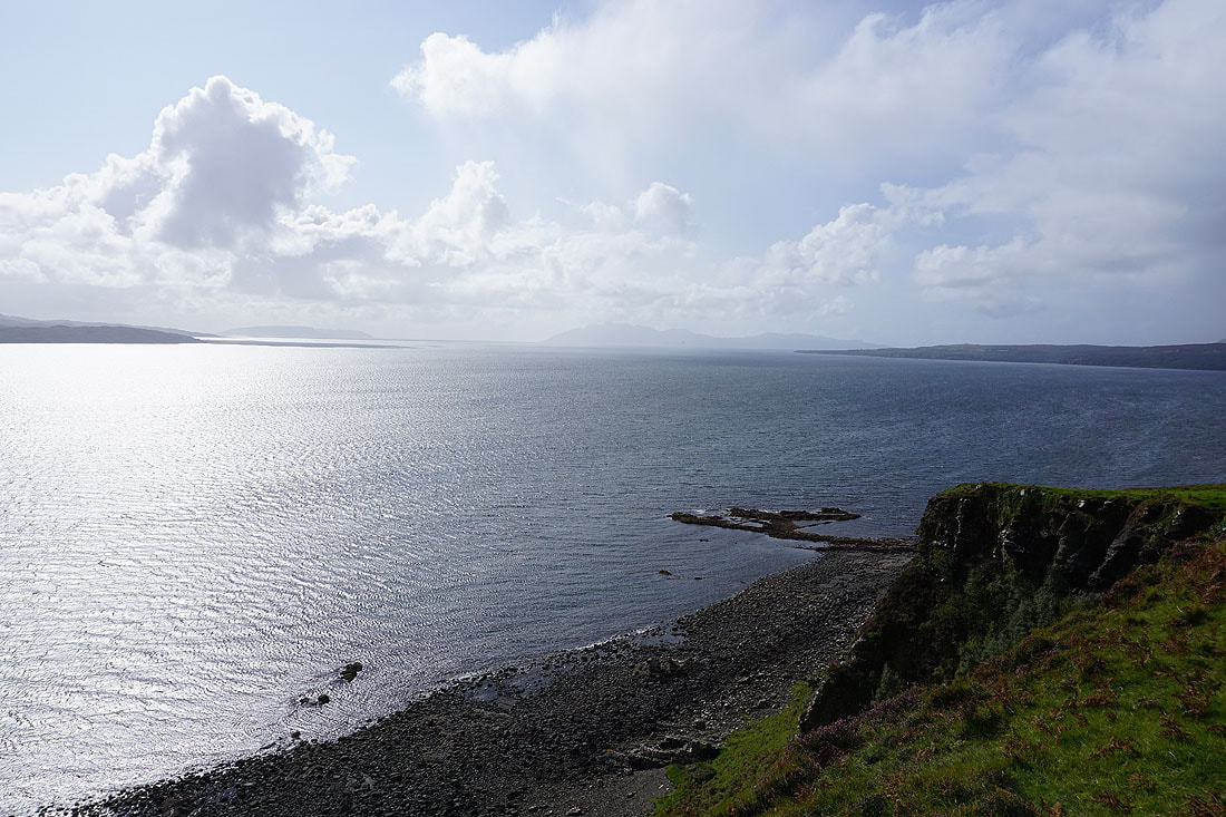
Views of Loch Eishort as I follow the path west along the coast...
|
|
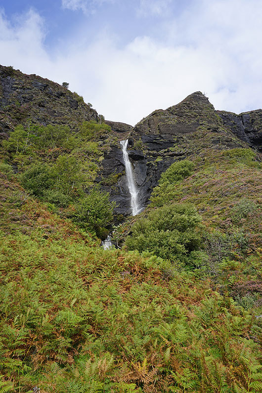
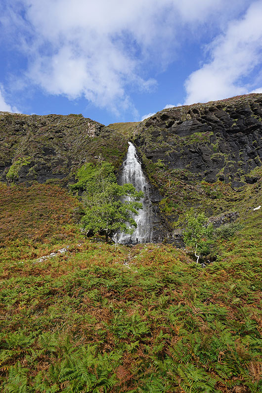
A couple of the waterfalls I passed that drop over the cliffs from the moorland above..

The path climbs up from the shore to a headland, from where I have a great view up to the head of Loch Eishort..
..across to Sgiath-bheinn an Uird, and the village of Ord on the Sleat peninsula..
..and southwest to the Isle of Rum
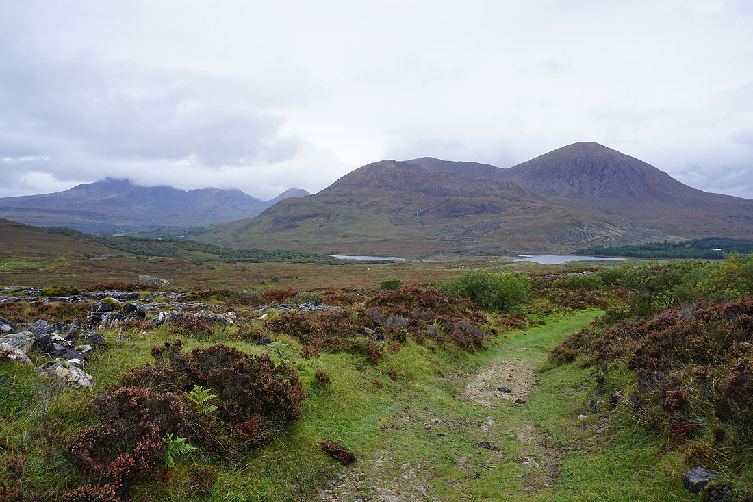
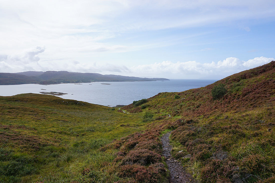
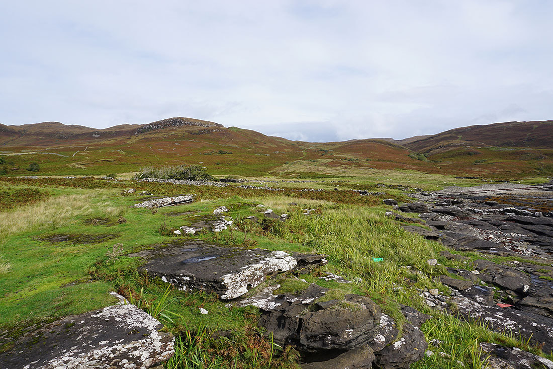
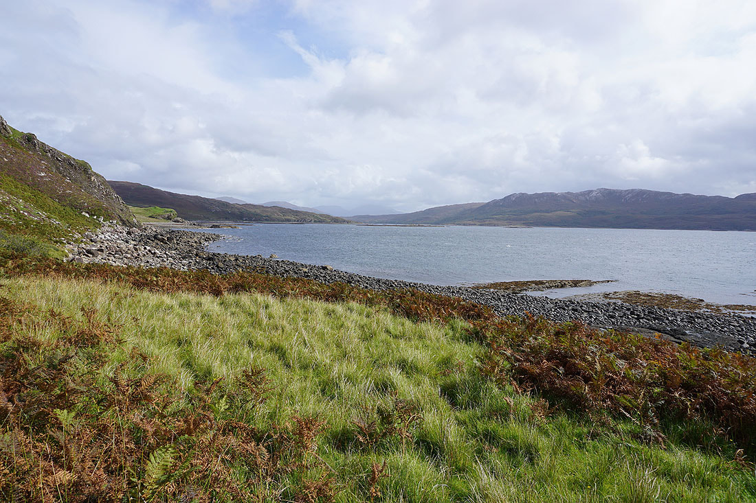
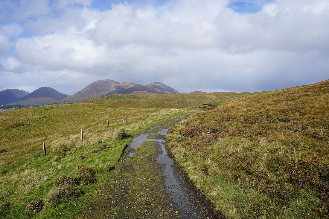
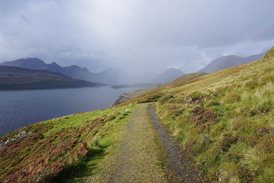
Past the headland and the path starts to turn to the north. Strathaird on the other side of Loch Slapin starts to come into view, along with some rough looking weather.
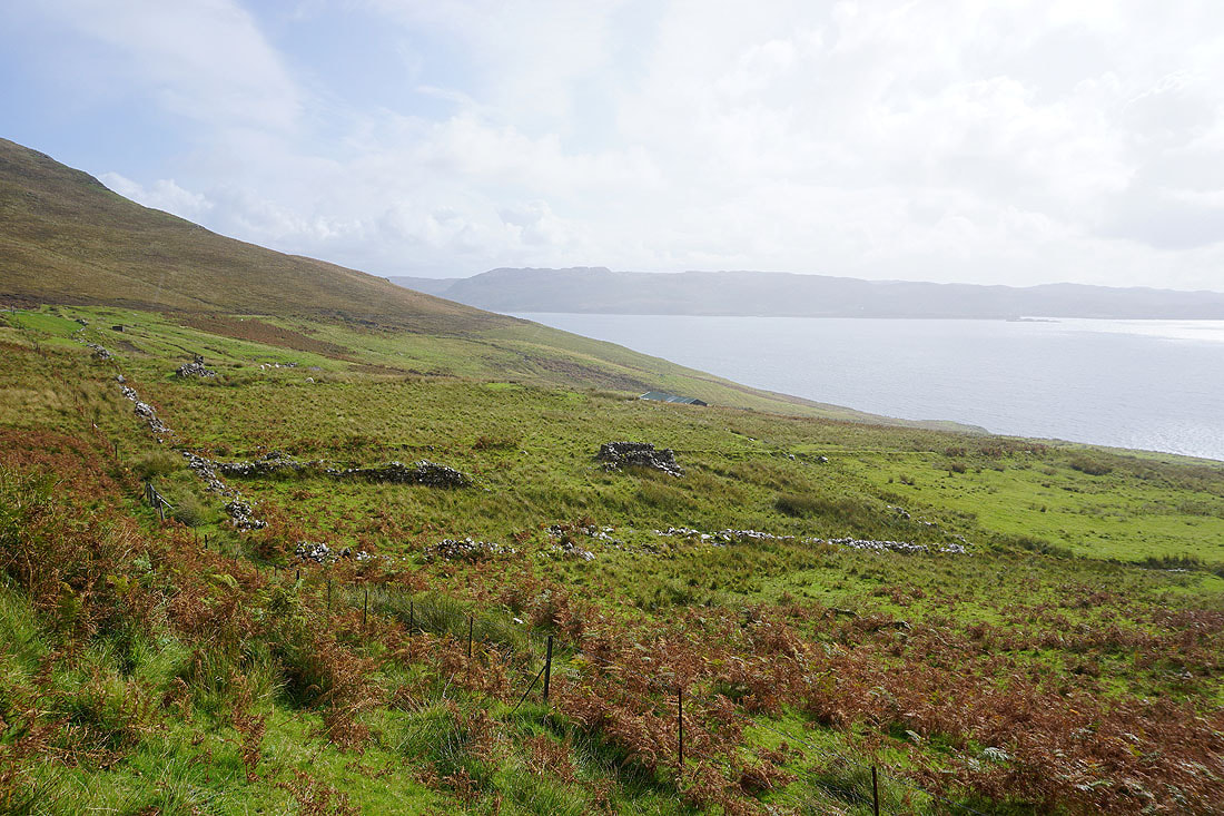
Passing the ruined walls of the abandoned settlement of Suisnish..
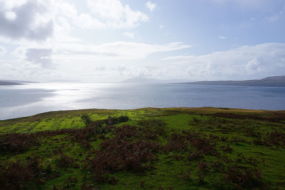
Looking across the sea to the Isle of Rum
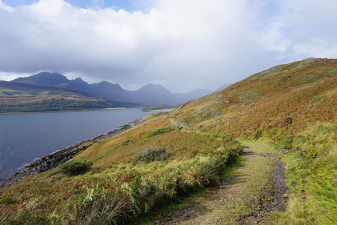
The mountains around the head of Loch Slapin come into view
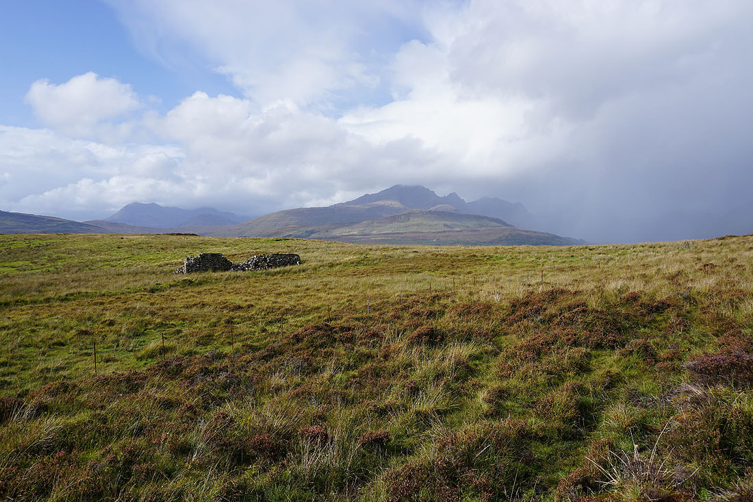
A ruined hut with a backdrop of Blabheinn
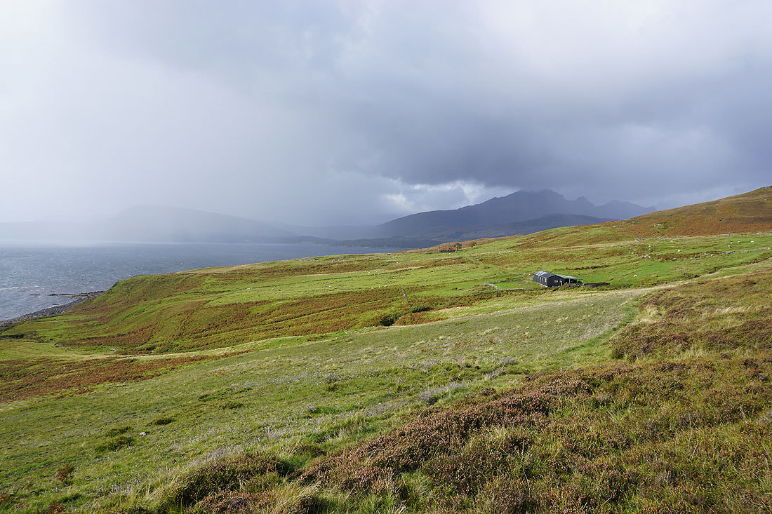
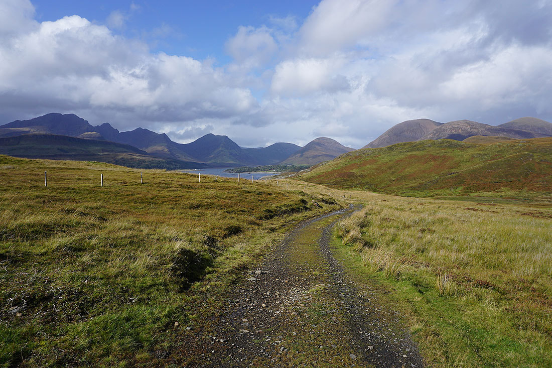
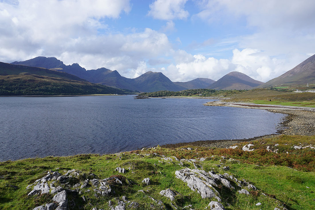
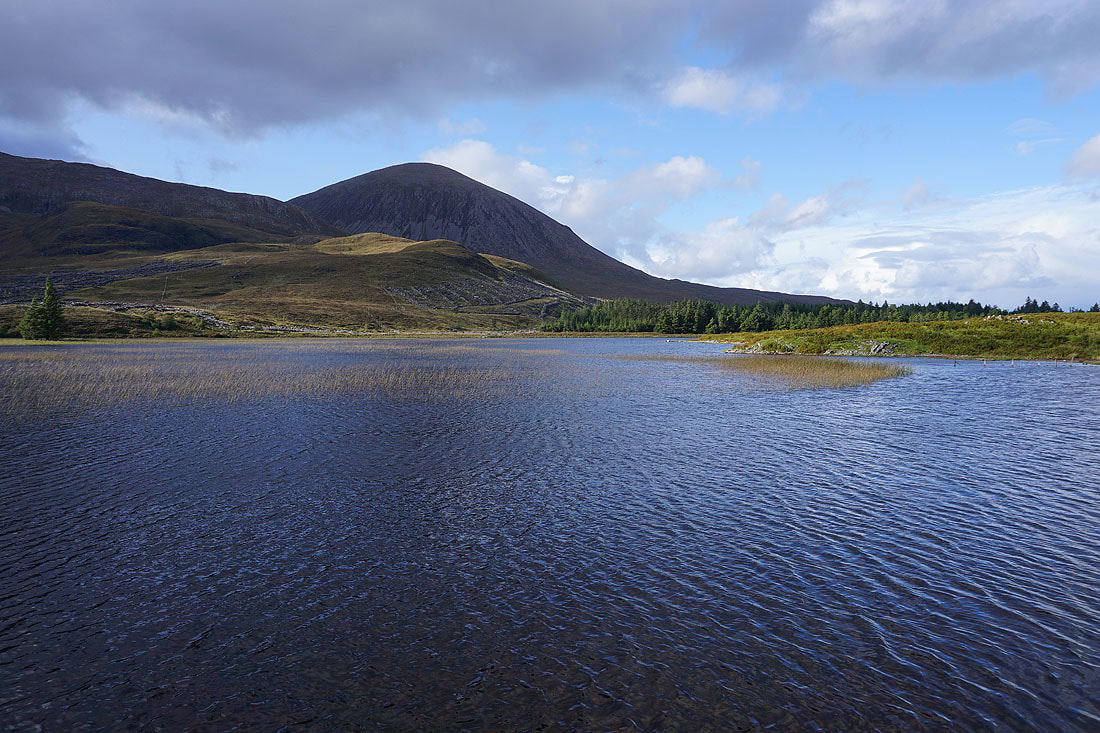
At Suisnish the path joins a track. I'm treated to great views of Loch Slapin and its surrounding mountains..

Looking across Loch Slapin to Ben Meabost, and the area around Kilmarie and Kirkibost..
..and to Blabheinn, Garbh-bheinn, and Belig
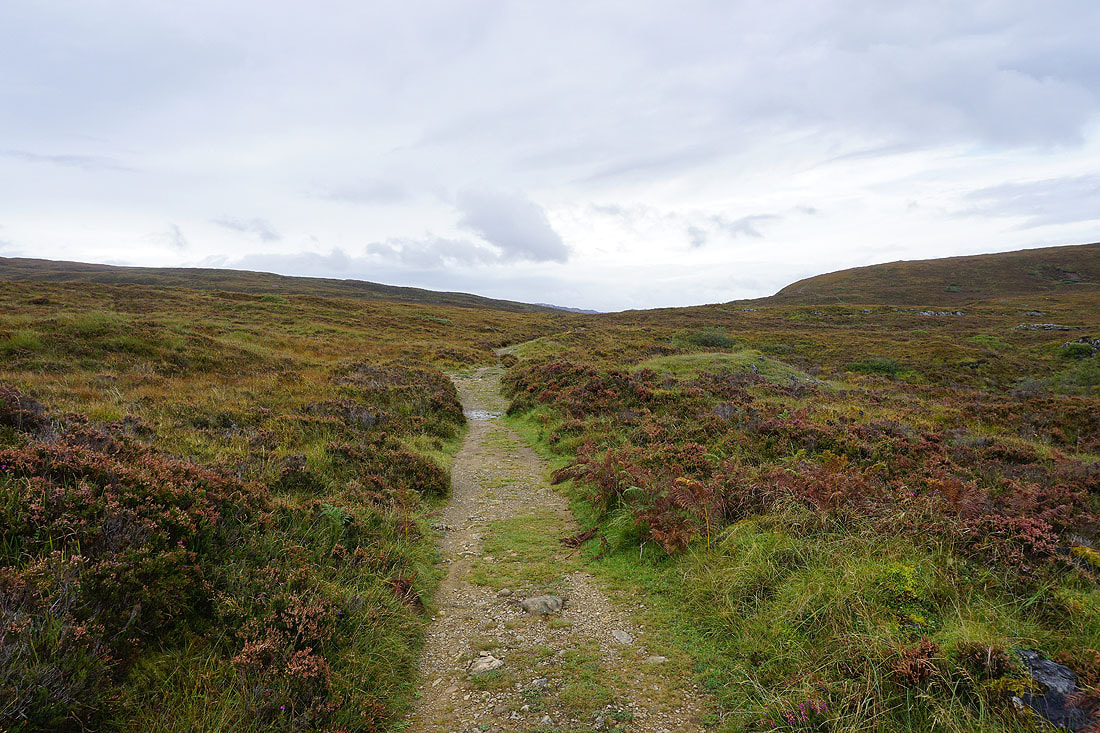
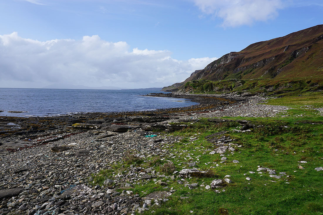
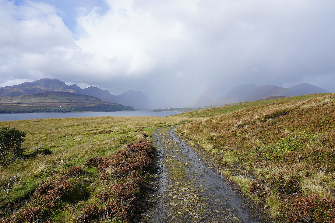
Following the track north towards the eastern shores of Loch Slapin...
Looking down Loch Slapin to The Small Isles
The track heads down to the shore
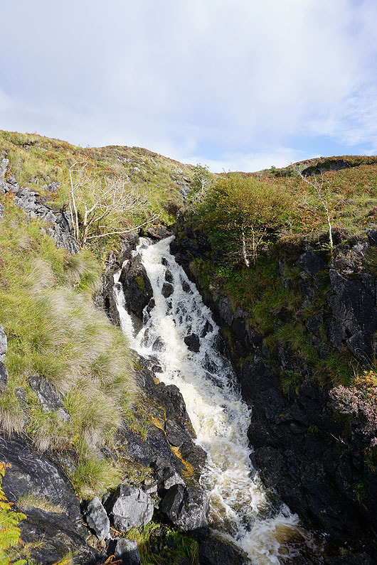
A waterfall on Allt na Garbhlain
Looking down the east coast of Loch Slapin
I anticipate great views of the mountains around the head of Loch Slapin as the track heads down to Camas Malag
Looking across Camas Malag to Blabheinn, Garbh-bheinn, Belig, Glas-Bheinn Mhor, and Beinn na Cro..
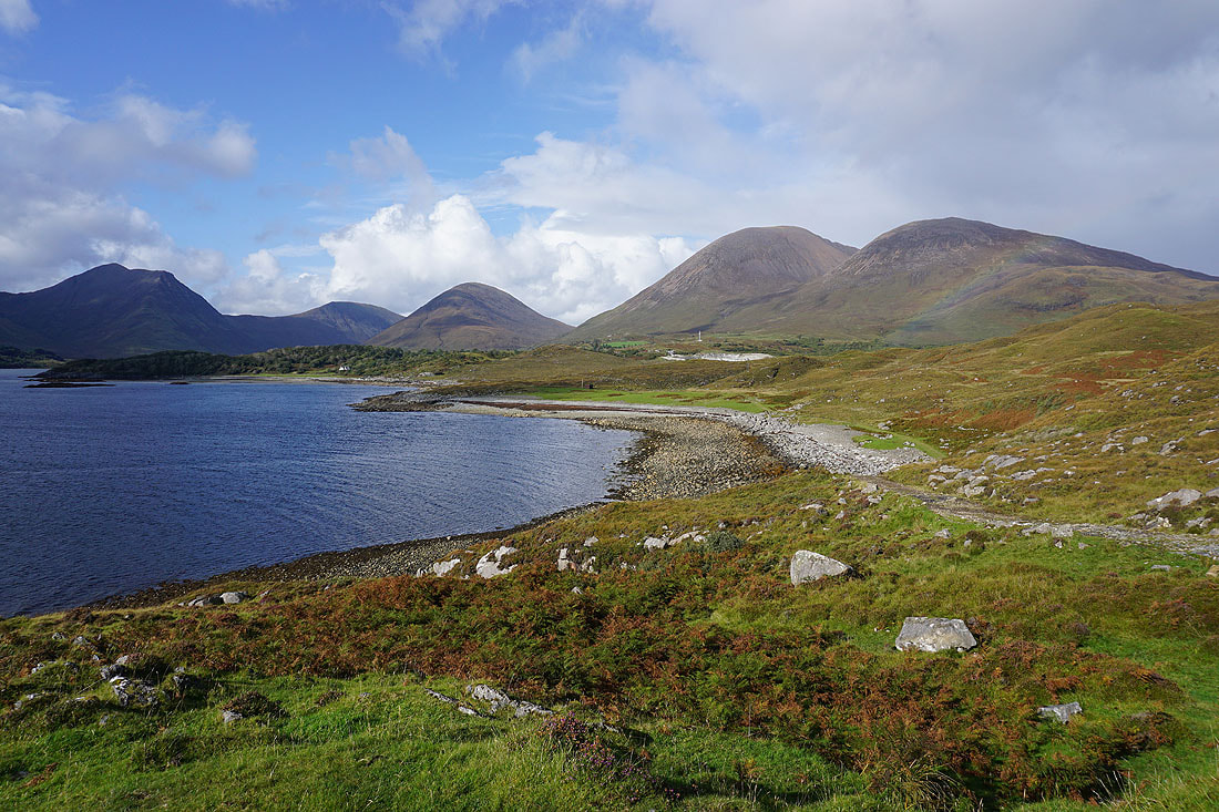
..and to Belig, Glas-Bheinn Mhor, Beinn na Cro, Beinn Dearg Mhor, and Beinn Dearg Bheag
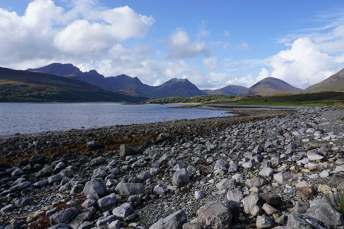
On the rocky shore of Camas Malag
From Camas Malag I walk up the road to Kilbride
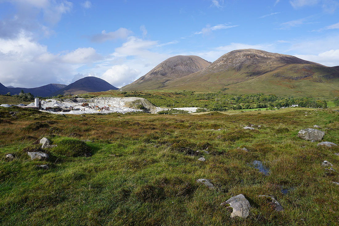
To my left, the Marble Quarry at Torrin, Beinn Dearg Mhor, and Beinn Dearg Bheag

Approaching the scattered cottages of Kilbride
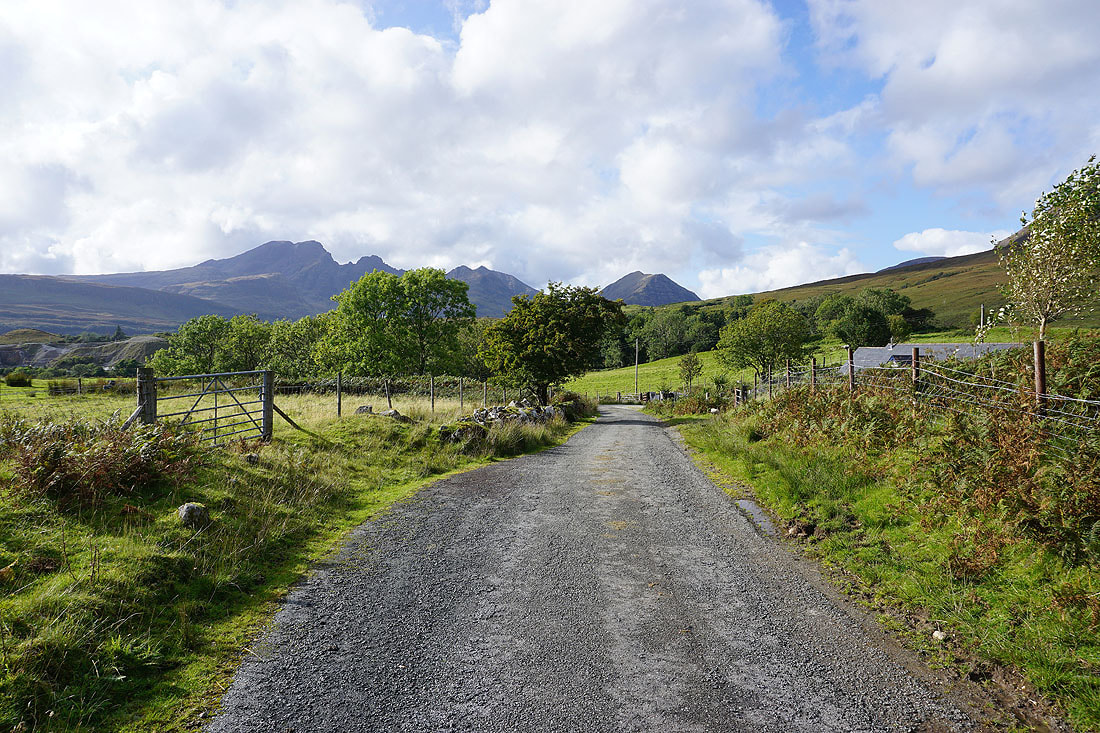
Looking back to Blabheinn, Garbh-bheinn, and Belig from Kilbride
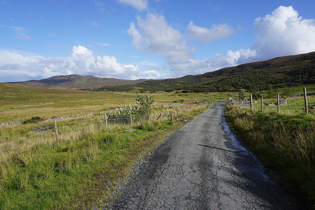
Reaching the junction with the Elgol to Broadford road
Looking back along the Elgol to Broadford road to Blabheinn, and Garbh-bheinn
and to Blabheinn from beside Loch Cill Chriosd
and across Loch Cill Chriosd to Beinn na Caillich
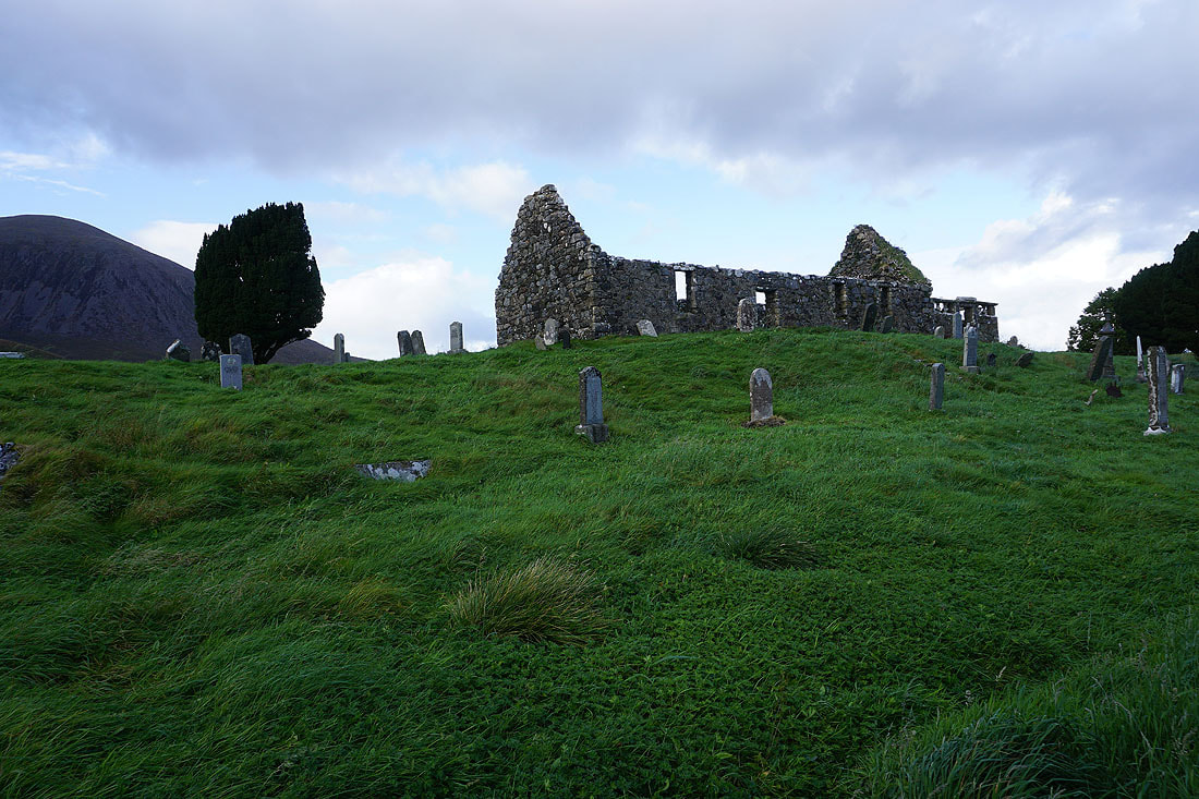
At the ruins of the church of Cill Chriosd, and I'm back where I started
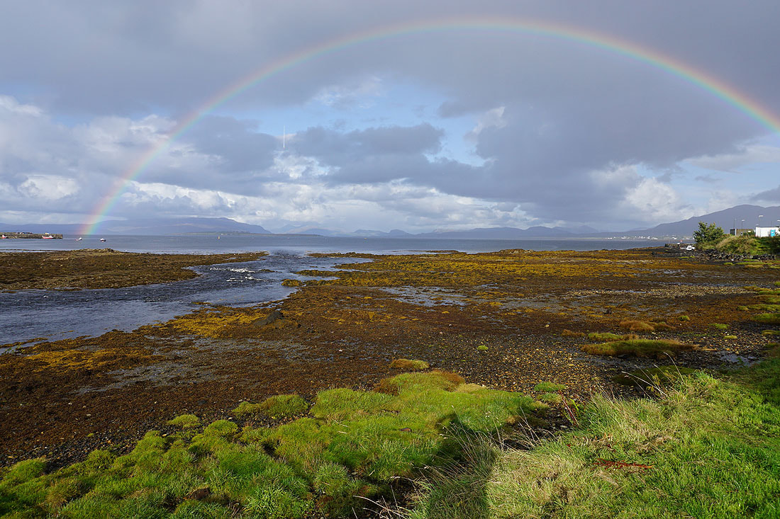
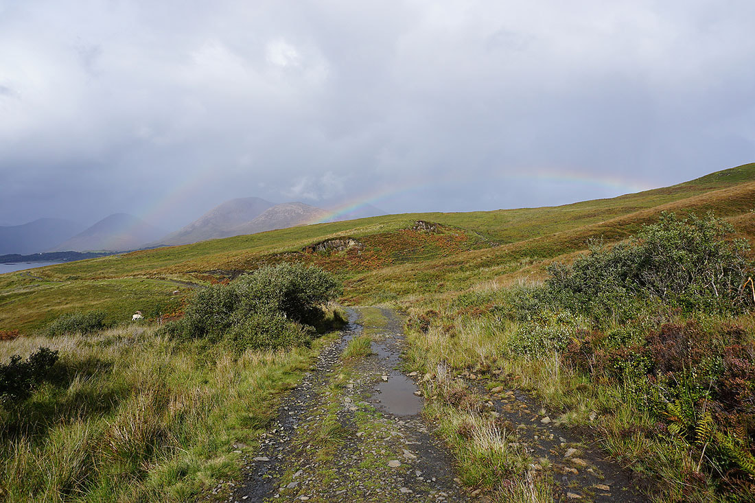
A short time later and I'm in Broadford. A downpour clears to leave a rainbow across Broadford Bay.

The view from the porch of my glamping pod is of the hills around Glen Arroch