19th April 2019 - Nab Hill
Walk Details
Distance walked: 9.1 miles
Total ascent: 1355 ft
OS map used: OL21 - South Pennines
Time taken: 6 hrs
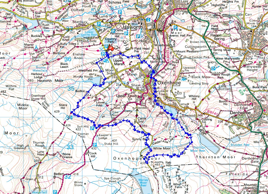
Route description: Penistone Hill Country Park-Moor Side Lane-Upper Marsh Lane-Hanging Gate Lane-Old Oxenhope Lane-Marsh Lane-Bronte Way-Bridgehouse Beck-Harry Lane-Keighley Road-Dark Lane-Yate Lane-Station Road-Jew Lane-Back Leeming-Leeming Reservoir-Bronte Way-Hambleton Lane-Nab Hill-Nab Water Lane-Greenwood's Allotment-Catchwater Drain-Hebden Bridge Road-Catchwater Drain-Stairs Lane-Bodkin Lane-Lee Lane-Westfield Farm-Drop Farm-Moor Side Lane- Penistone Hill Country Park
After moving home a couple of days ago I couldn't wait to get out walking somewhere. There's fine summer-like weather forecast for the Easter weekend and I'm going to make the most of it. Today I opted for a walk in Bronte Country, which is now closer to where I live. For instance, it's just 10 miles to Stanbury. The route I worked out took in Nab Hill and the moorland surrounding Oxenhope, though starting from Penistone Hill Country Park so that I wouldn't have any issues with parking my car. It was a beautiful day for being out on the moors with clear blue skies and unbroken sunshine, and it felt warm too with just a gentle breeze.
From one of the car parks on the western end of Penistone Hill Country Park I briefly walked south down Moor Side Lane before turning left to walk down Upper Marsh Lane, Hanging Gate Lane and Old Oxenhope Lane to Marsh Lane where I turned left. A short time later I took the trail of the Bronte Way on the right and followed it downhill, across the tracks of the Keighley and Worth Valley Railway and Bridgehouse Beck, then along Harry Lane and up to Keighley Road. I then crossed the road and walked up Dark Lane, then right along Yate Lane down to Station Road in Oxenhope, where I turned left, briefly walked along Station Road, then took Jew Lane on the right. Following Jew Lane to its end brought me to Back Leeming and the trail of the Bronte Way again, which I followed uphill past Leeming Reservoir to Hambleton Lane. After a short walk up Hambleton Lane I went through a gate on the right and followed the path to the cairns on the edge of Nab Hill. After a break for lunch I continued to follow the path along the edge of Nab Hill down to Nab Water Lane, then after a short walk down the lane took the footpath on the right that meets up with the lane again further down. I then crossed Nab Water Lane and took the footpath opposite which crosses Greenwood's Allotment and meets up with a catchwater drain, which I followed west along the side of Oxenhope Moor, across the A6033, and to where it meets the byway of Stairs Lane. I then made my way down Stairs Lane and Bodkin Lane to Leeshaw Reservoir, and then up onto Lee Lane, where I took a footpath on the left uphill past Westfield Farm to Drop Farm. A walk along the farm's access road brought me to Moor Side Lane and a short walk uphill to where I was parked.
Total ascent: 1355 ft
OS map used: OL21 - South Pennines
Time taken: 6 hrs
Route description: Penistone Hill Country Park-Moor Side Lane-Upper Marsh Lane-Hanging Gate Lane-Old Oxenhope Lane-Marsh Lane-Bronte Way-Bridgehouse Beck-Harry Lane-Keighley Road-Dark Lane-Yate Lane-Station Road-Jew Lane-Back Leeming-Leeming Reservoir-Bronte Way-Hambleton Lane-Nab Hill-Nab Water Lane-Greenwood's Allotment-Catchwater Drain-Hebden Bridge Road-Catchwater Drain-Stairs Lane-Bodkin Lane-Lee Lane-Westfield Farm-Drop Farm-Moor Side Lane- Penistone Hill Country Park
After moving home a couple of days ago I couldn't wait to get out walking somewhere. There's fine summer-like weather forecast for the Easter weekend and I'm going to make the most of it. Today I opted for a walk in Bronte Country, which is now closer to where I live. For instance, it's just 10 miles to Stanbury. The route I worked out took in Nab Hill and the moorland surrounding Oxenhope, though starting from Penistone Hill Country Park so that I wouldn't have any issues with parking my car. It was a beautiful day for being out on the moors with clear blue skies and unbroken sunshine, and it felt warm too with just a gentle breeze.
From one of the car parks on the western end of Penistone Hill Country Park I briefly walked south down Moor Side Lane before turning left to walk down Upper Marsh Lane, Hanging Gate Lane and Old Oxenhope Lane to Marsh Lane where I turned left. A short time later I took the trail of the Bronte Way on the right and followed it downhill, across the tracks of the Keighley and Worth Valley Railway and Bridgehouse Beck, then along Harry Lane and up to Keighley Road. I then crossed the road and walked up Dark Lane, then right along Yate Lane down to Station Road in Oxenhope, where I turned left, briefly walked along Station Road, then took Jew Lane on the right. Following Jew Lane to its end brought me to Back Leeming and the trail of the Bronte Way again, which I followed uphill past Leeming Reservoir to Hambleton Lane. After a short walk up Hambleton Lane I went through a gate on the right and followed the path to the cairns on the edge of Nab Hill. After a break for lunch I continued to follow the path along the edge of Nab Hill down to Nab Water Lane, then after a short walk down the lane took the footpath on the right that meets up with the lane again further down. I then crossed Nab Water Lane and took the footpath opposite which crosses Greenwood's Allotment and meets up with a catchwater drain, which I followed west along the side of Oxenhope Moor, across the A6033, and to where it meets the byway of Stairs Lane. I then made my way down Stairs Lane and Bodkin Lane to Leeshaw Reservoir, and then up onto Lee Lane, where I took a footpath on the left uphill past Westfield Farm to Drop Farm. A walk along the farm's access road brought me to Moor Side Lane and a short walk uphill to where I was parked.
Route map
© Crown copyright. All rights reserved. License number PU 100034184.
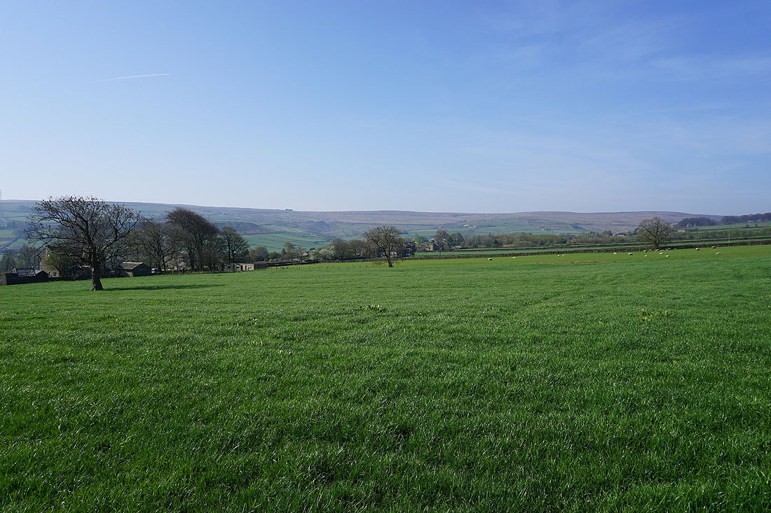
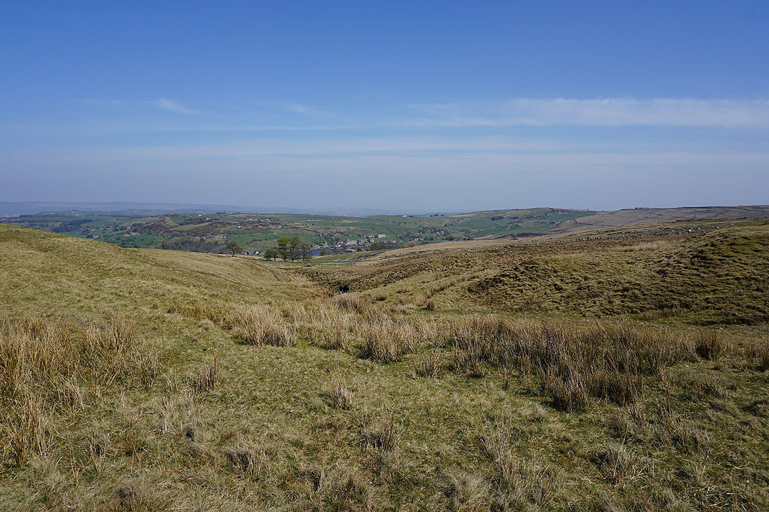
Looking across the Worth Valley from where I'm parked at Penistone Hill Country Park..
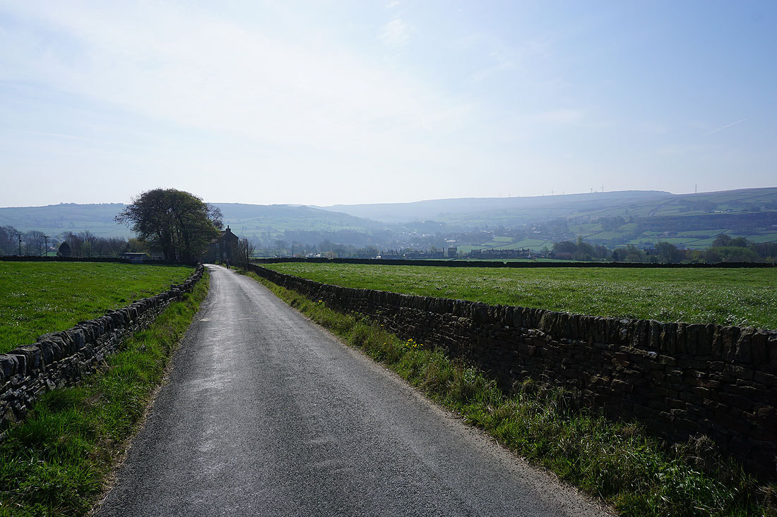
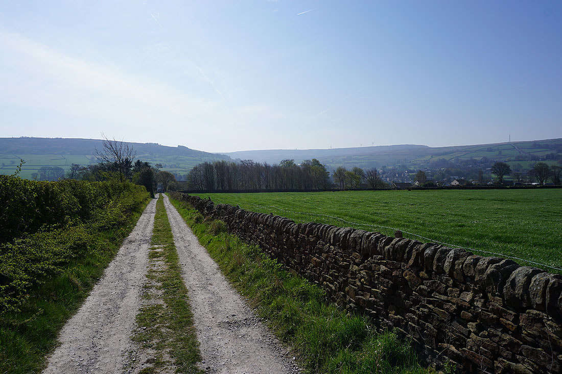
Heading down Hanging Gate Lane towards Oxenhope
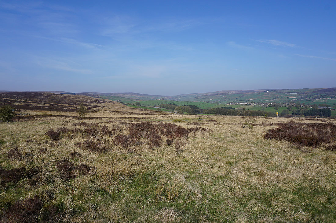
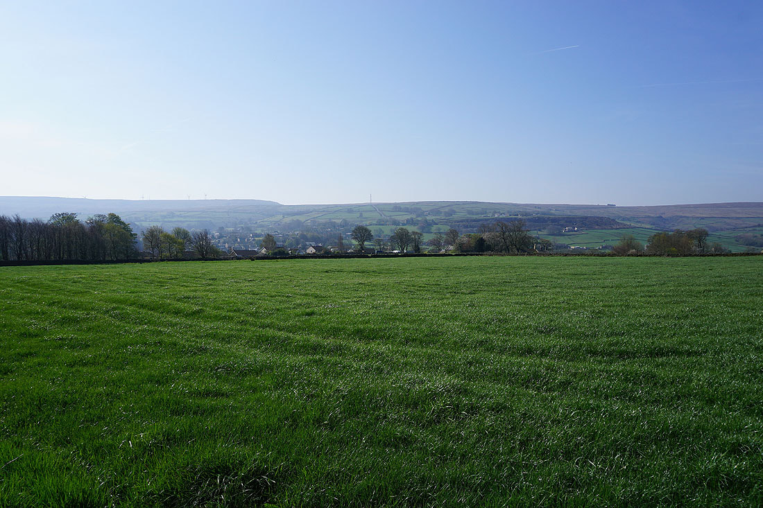
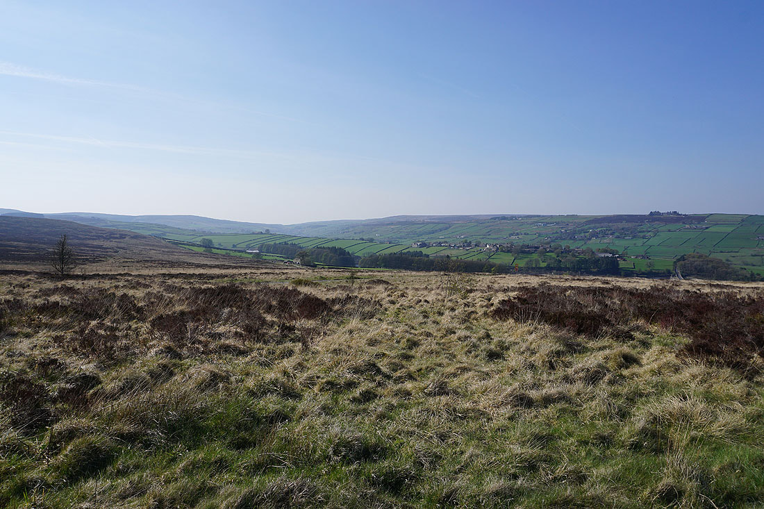
It's a beautiful morning as I look across the countryside around Oxenhope
I've left the road for this track down to the Keighley and Worth Valley Railway
Looking across the roofs of Oxenhope to Nab Hill
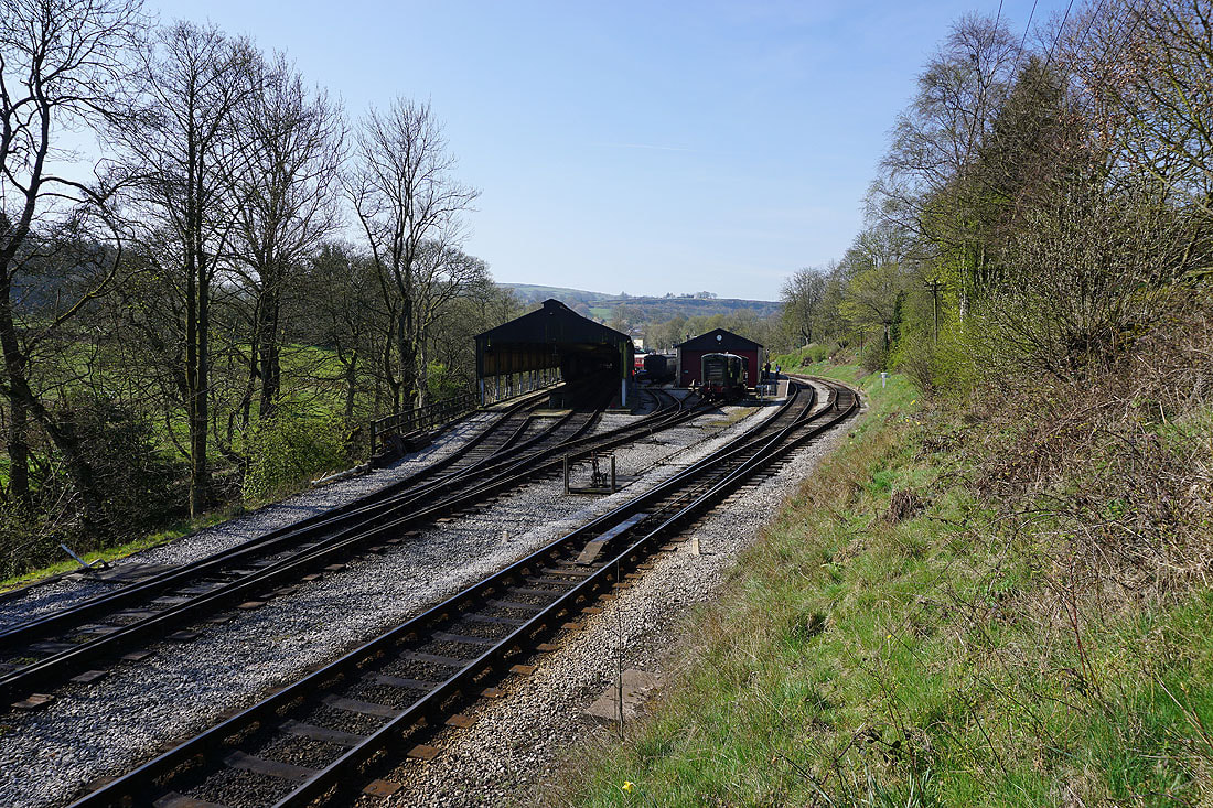
Crossing the Keighley and Worth Valley Railway in Oxenhope
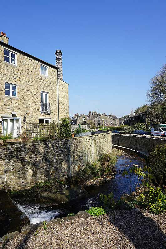
Making my way through Oxenhope
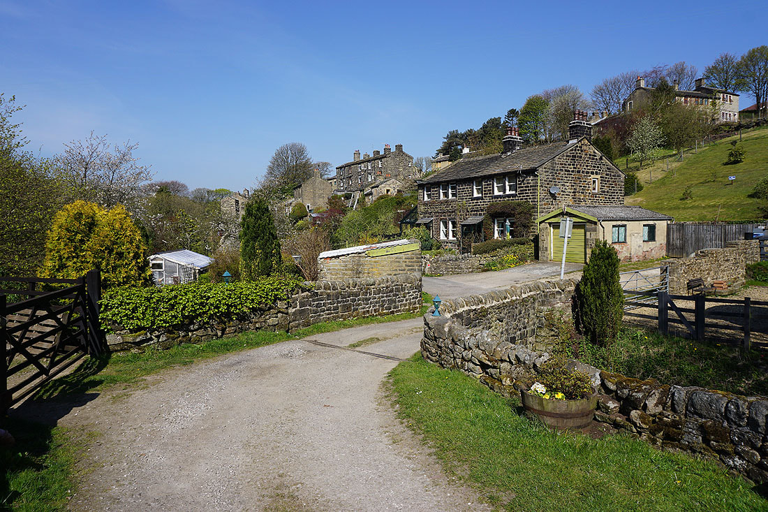
In Back Leeming
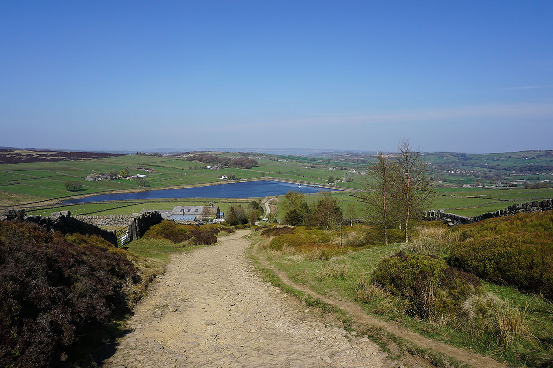
and Back Leeming from the path up to Leeming Reservoir
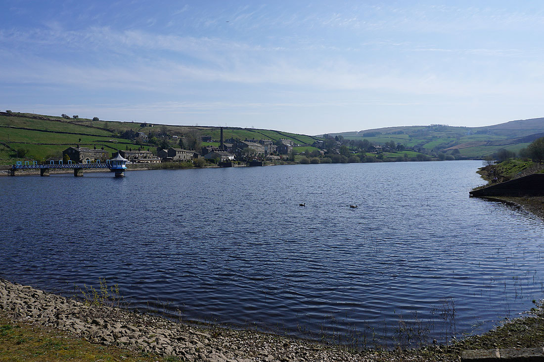
Leeming and Leeming Reservoir..
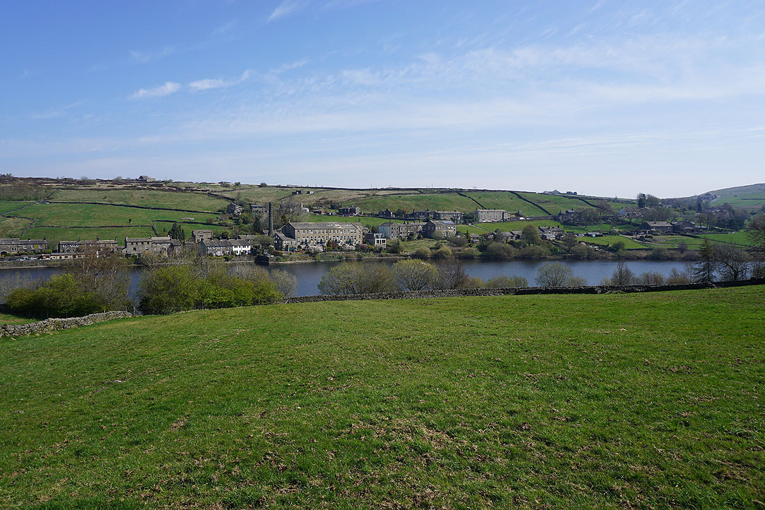
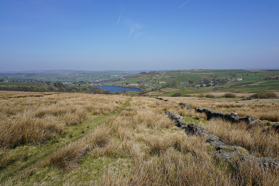
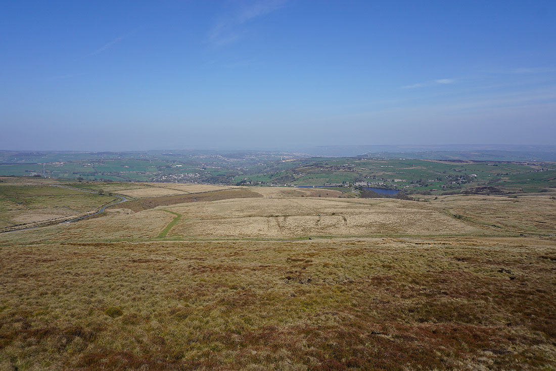
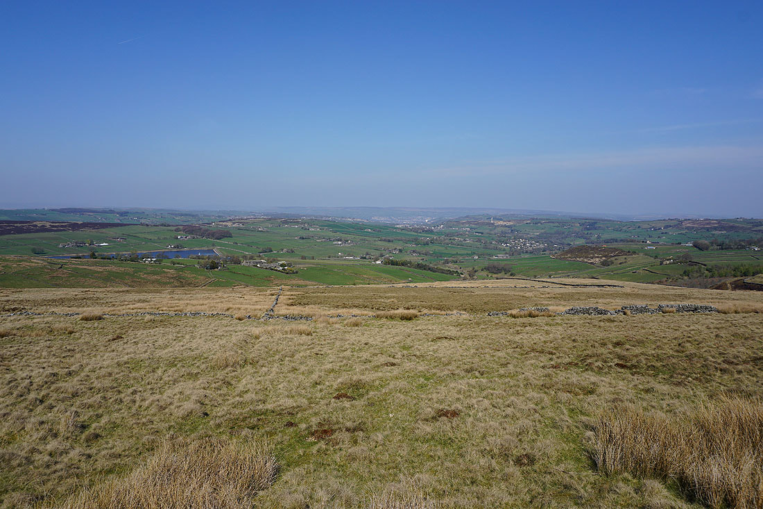
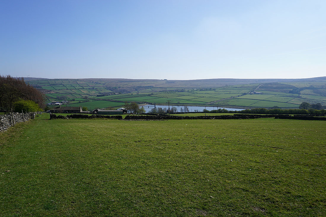
Looking back to Oxenhope and Leeming Reservoir from the Bronte Way up onto Nab Hill
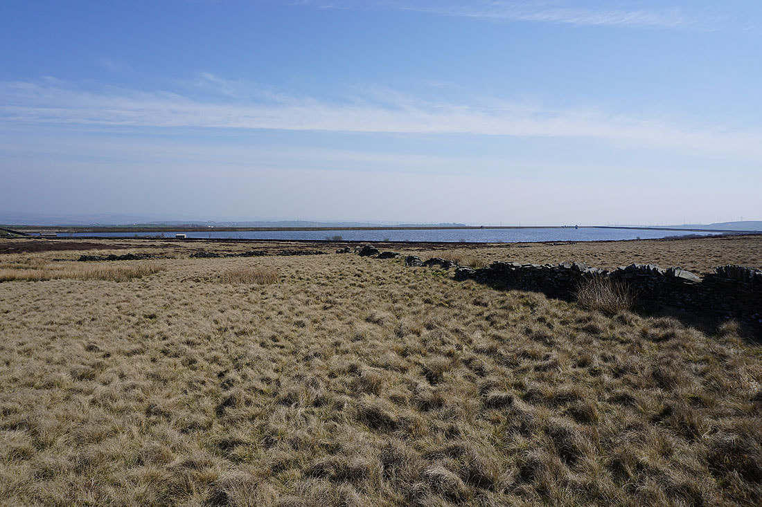
Thornton Moor Reservoir
Ilkley Moor in the distance as..
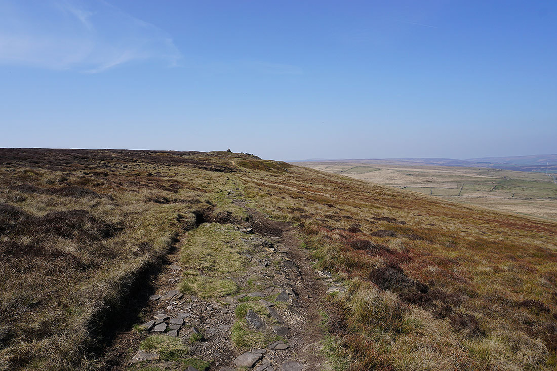
..I follow the path to the cairns on the edge of Nab Hill
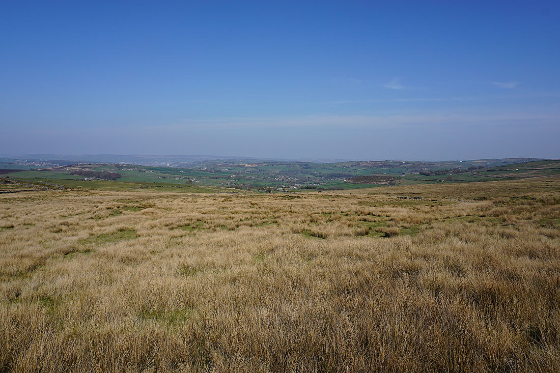
There's a great view across Bronte Country from up here with Ilkley Moor in the distance. If it wasn't for the haze I'd be able to see further north into the Yorkshire Dales.
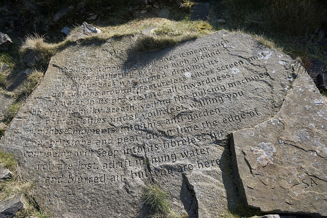
The Stanza Stone of "Mist"
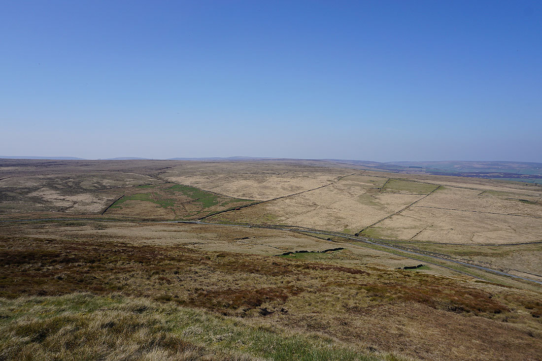
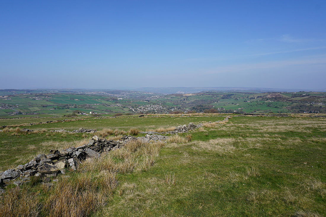
Boulsworth Hill in the distance across the tops of Wadsworth Moor and Stanbury Moor
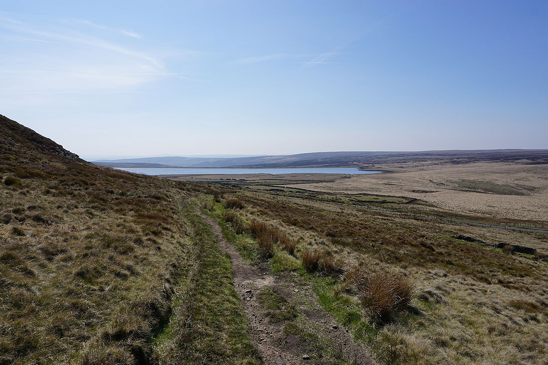
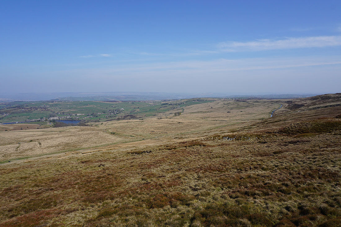
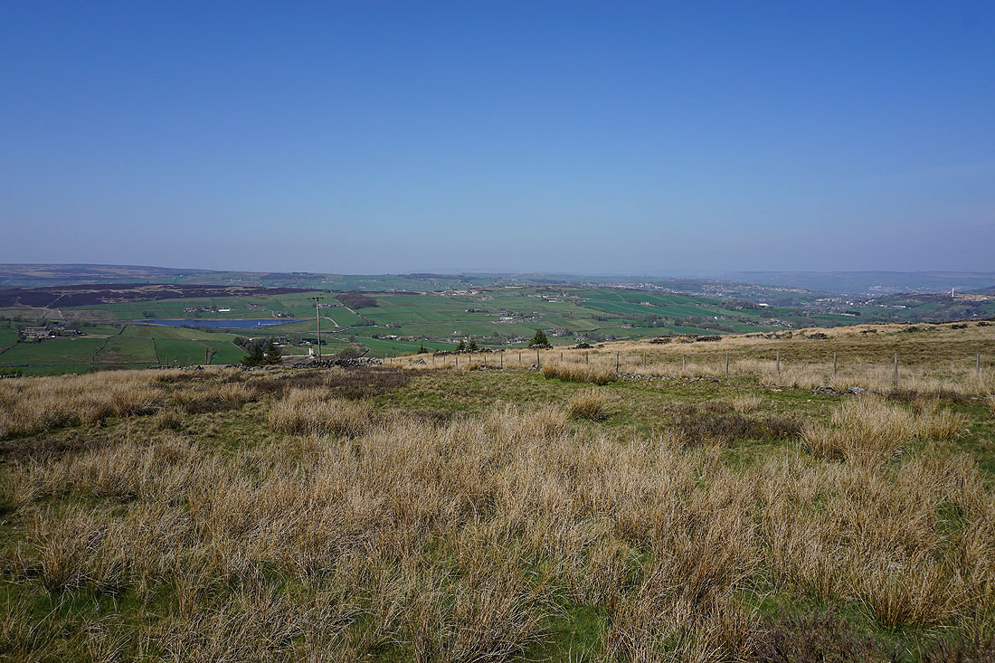
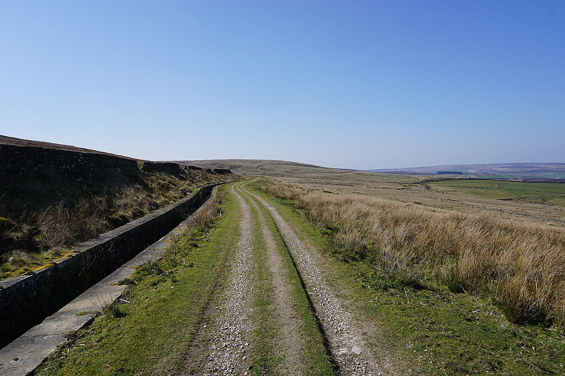
Warley Moor Reservoir from the path down to Nab Water Lane
The path I'm on drops down to Nab Water Lane and then crosses the moor on the other side of the road
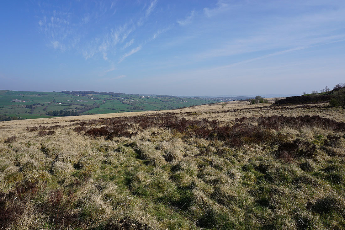
Haworth on the left, across to Cullingworth Moor and Leeming from the path across Greenwood's Allotment on Oxenhope Moor..
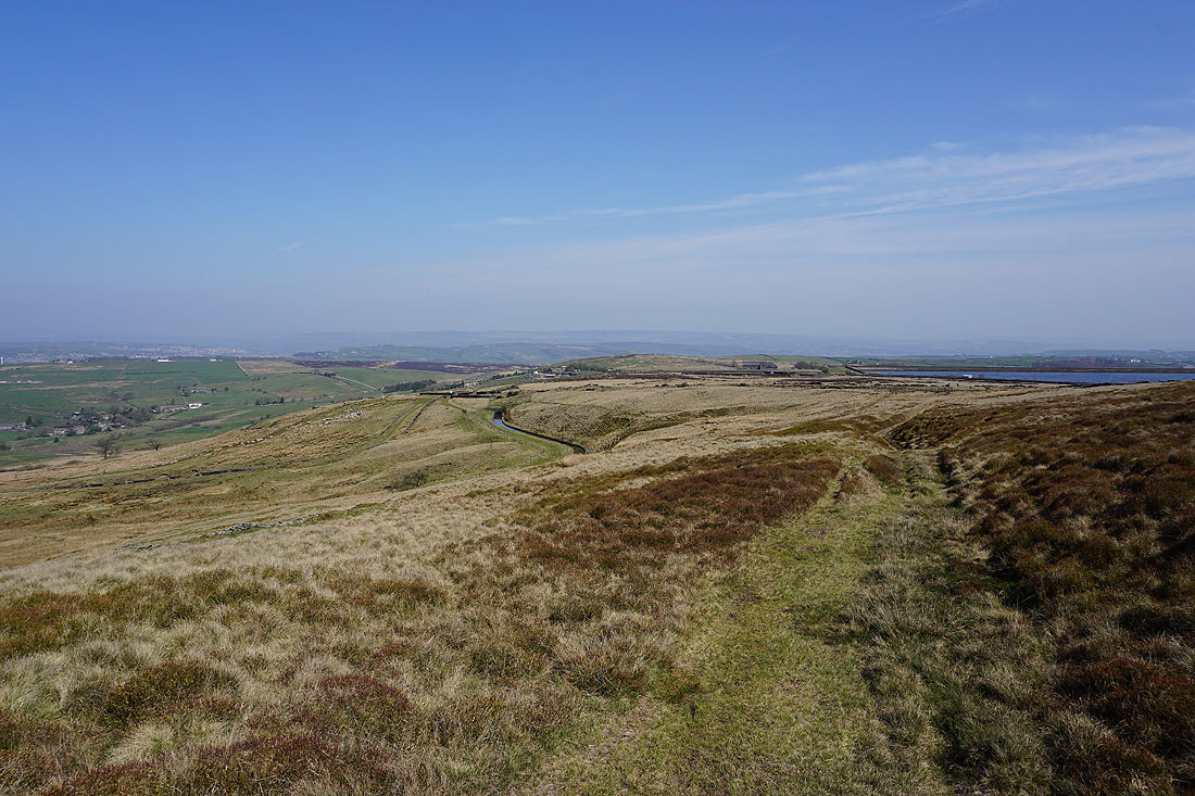
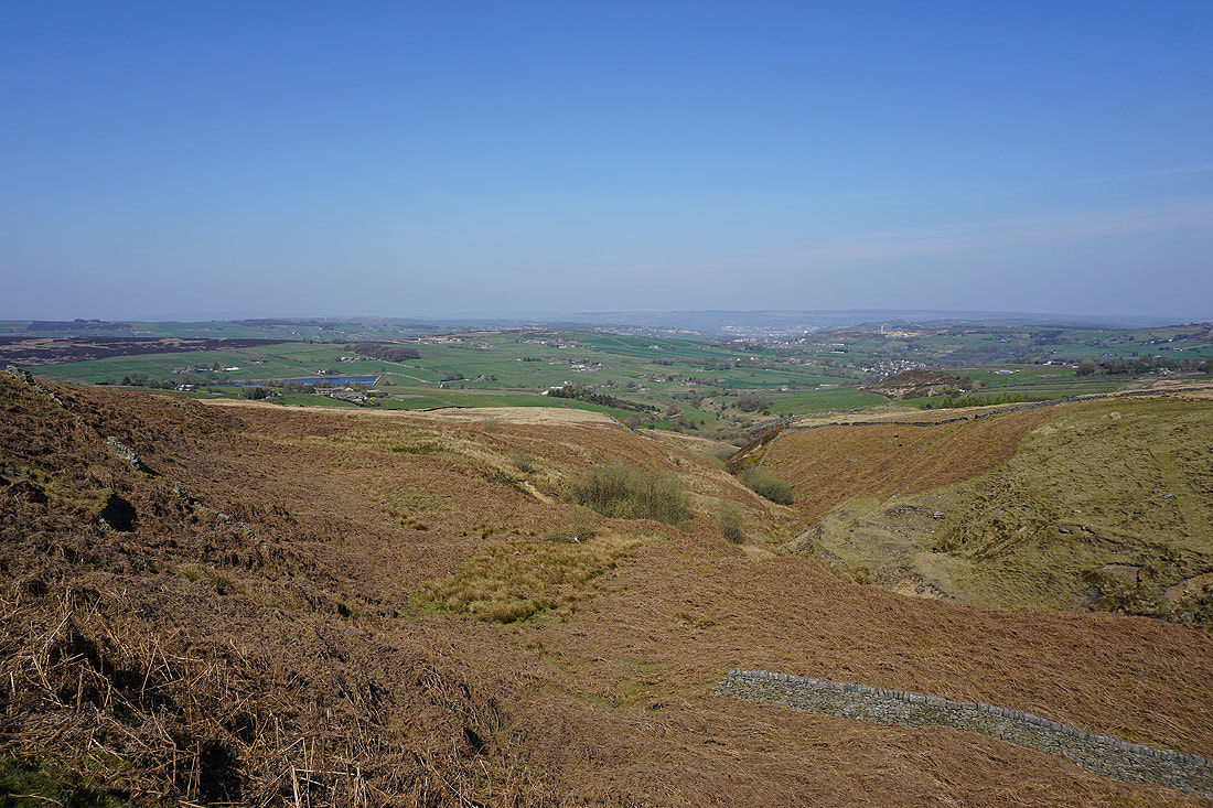
I'm then treated to great views across Bronte Country to Oxenhope, Haworth, Haworth Moor and Leeshaw Reservoir as I follow a catchwater drain along the side of Oxenhope Moor and across the Hebden Bridge Road......
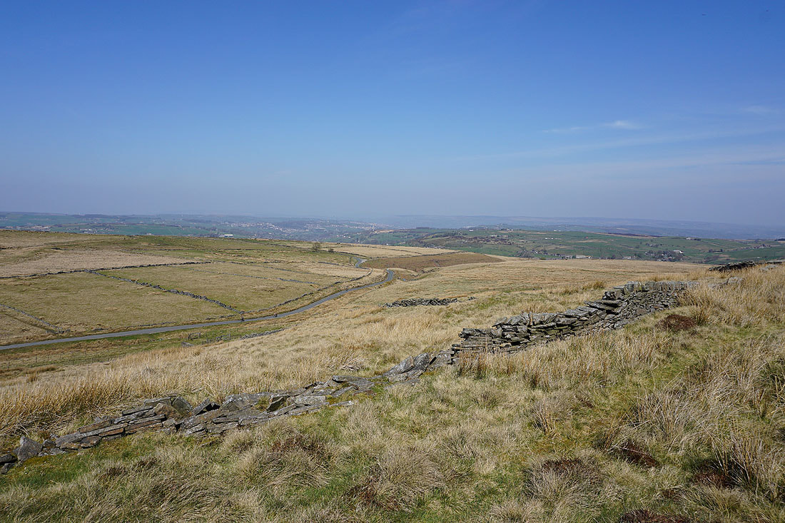
On the byway of Stairs Lane, which has crossed over from Calderdale
and on Bodkin Lane down to Leeshaw Reservoir
On Lee Lane below Leeshaw Reservoir
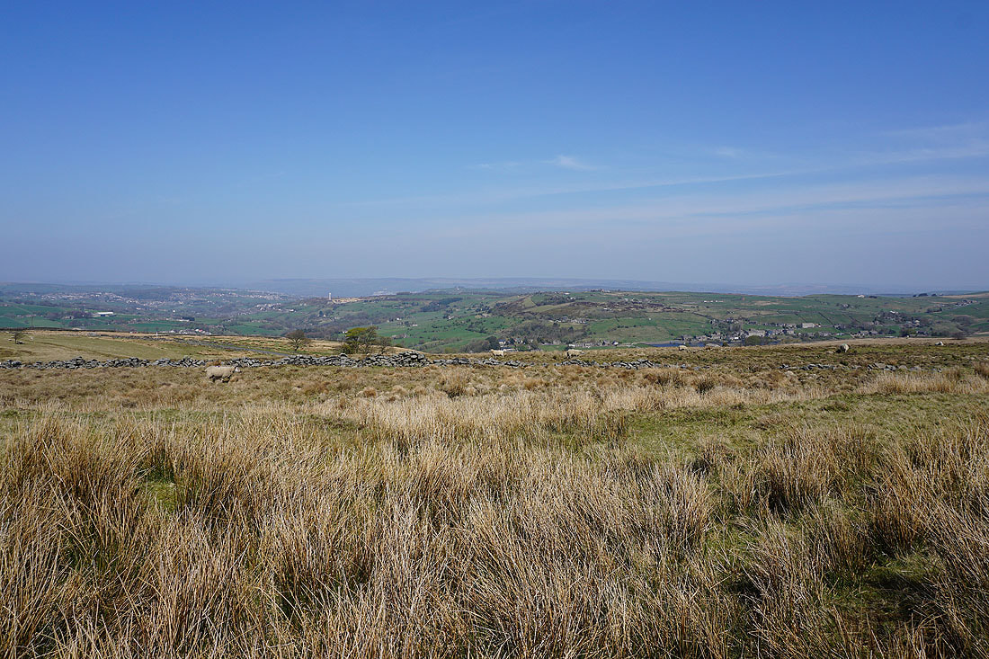
Looking back to Leeshaw Reservoir and across to Oxenhope Moor from the path up past Westfield Farm
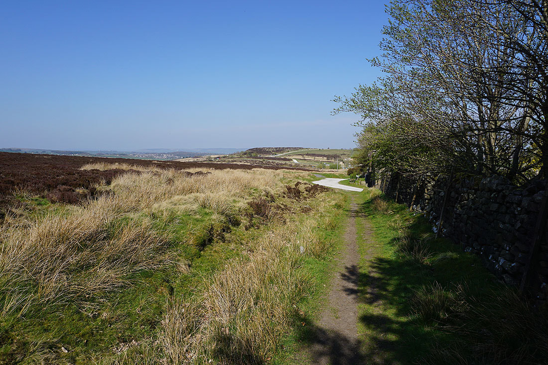
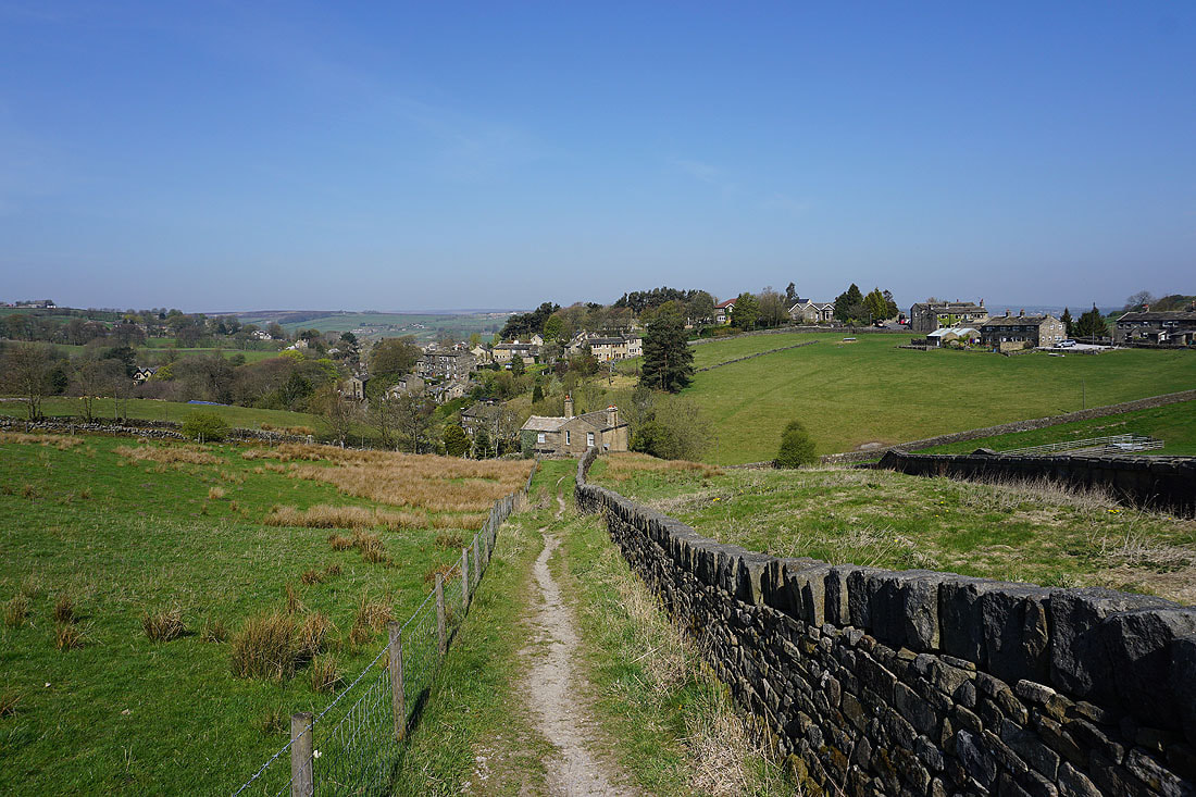
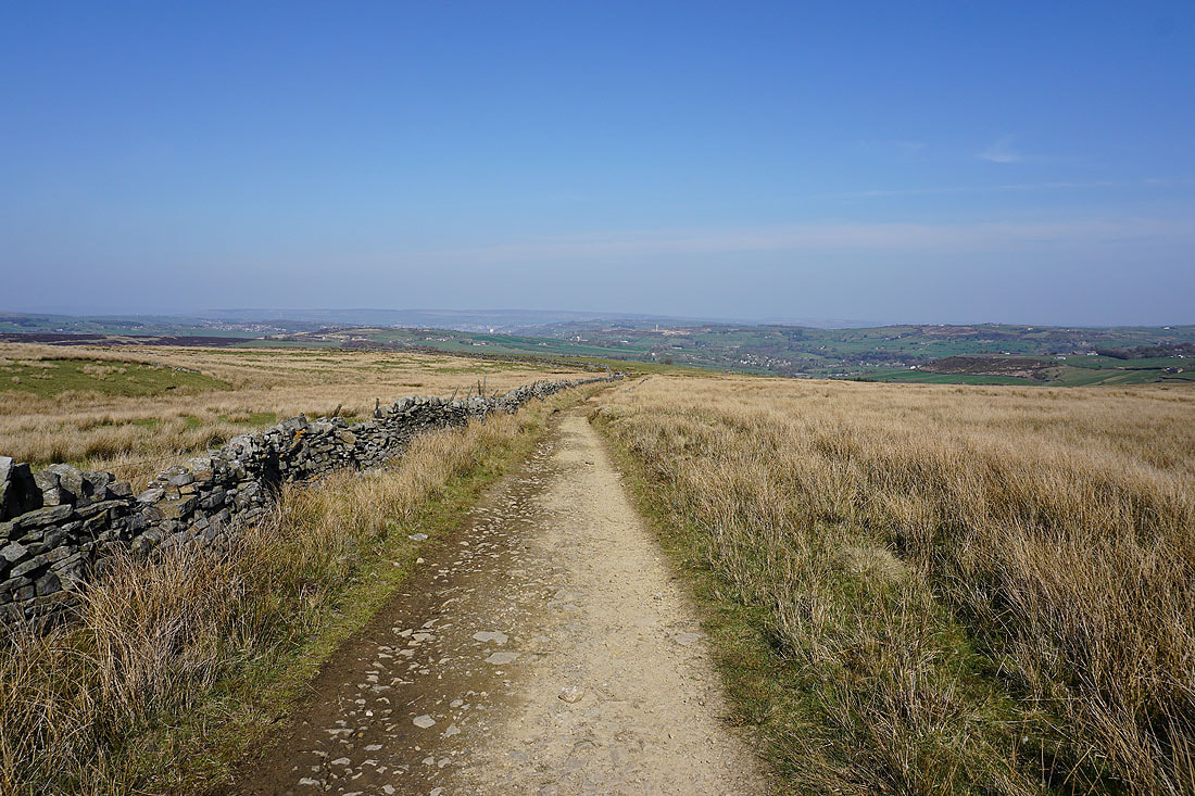
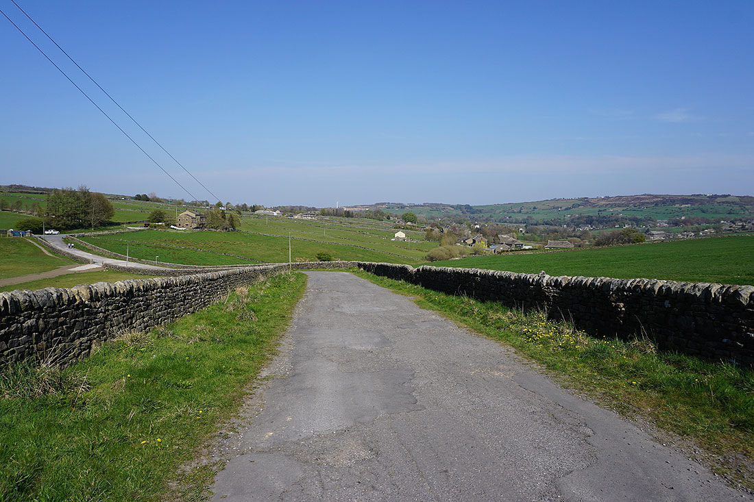
Penistone Hill in sight, not far to go
One last shot of late afternoon sunshine across the Worth Valley from where I'm parked