19th April 2021 - Worth Valley to Hebden Dale and back
Walk Details
Distance walked: 14.0 miles
Total ascent: 2391 ft
OS map used: OL21 - South Pennines
Time taken: 7 hrs
Route description: Penistone Hill Country Park-Drop Farm-Lee Lane-Bodkin Lane-Stairs Lane-Lane Head-Grain Water Bridge-Old Road-Lumb Hole Waterfall-Nook-Walshaw-Holme Ends-Pennine Way-Top Withins-Stanbury Moor-Alcomden Stones-Stanbury Moor-Top Withins-Harbour Hill-Harbour Lodge-Haworth Moor-Penistone Hill Country Park
What better way to spend a day off work than have a long walk across my local South Pennines moors. The route that I'd decided on was one that I did in July 2019, and involved crossing the Worth Valley to Calderdale and back, making use of bridleways for one crossing of the moors, and the trail of the Pennine Way for the other. I made some small alterations to this, one of which was visiting Lumb Hole Waterfall. It was a beautiful spring day for being out, with more or less wall-to-wall blue skies and sunshine. After a cold start it soon warmed up in the strong April sunshine, and it was only on the tops of the moors where there was a bit of a breeze blowing did it feel as cool as it actually was.
From the car park at Penistone Hill Country Park I made my way out to Moor Side Lane and took the footpath along the track to Drop Farm. Just after passing Drop Farm I took the footpath on the left and followed it down past Westfield Farm to Lee Lane where I turned right and walked along the lane past Leeshaw Reservoir, then up the bridleway of Bodkin Lane and Stairs Lane to cross the moor over to Calderdale. I followed the bridleway across the moor to Lane Head (the end of the road at the top of Crimsworth Dean), then walked down the road until I reached the bridleway down to Lumb Bridge on the left, which I took down to Lumb Bridge and up to the ruined farm of Nook. I then took the bridleway across the southern end of Shackleton Knoll to the hillside hamlet of Walshaw, where I turned right and followed the track up Hebden Dale until I reached New Laithe Farm where I took a footpath on the left down into Black Dean, where I stopped for lunch. After this break I followed the path west up Black Dean, crossed a footbridge over Alcomden Water, then followed a track and footpath north above Alcomden Water to Holme Ends, where I turned left and followed a track north to join the trail of the Pennine Way. I then followed the Pennine Way up Walshaw Dean, past the lower and middle reservoirs, before heading up Withins Height End to cross over the moor back to the Worth Valley, where I soon reached the ruins of Top Withins. I left the Pennine Way at Top Withins to pay a visit to the trig point on Stanbury Moor and the Alcomden Stones, then after returning to the ruins took the path down into the valley of South Dean Beck, across a couple of footbridges and around the back of Harbour Hill to Harbour Lodge. I followed the track east from here across Haworth Moor to Moor Side Lane. I was then left with a short walk back to the car park at Penistone Hill Country Park.
Route map
© Crown copyright. All rights reserved. License number PU 100034184.
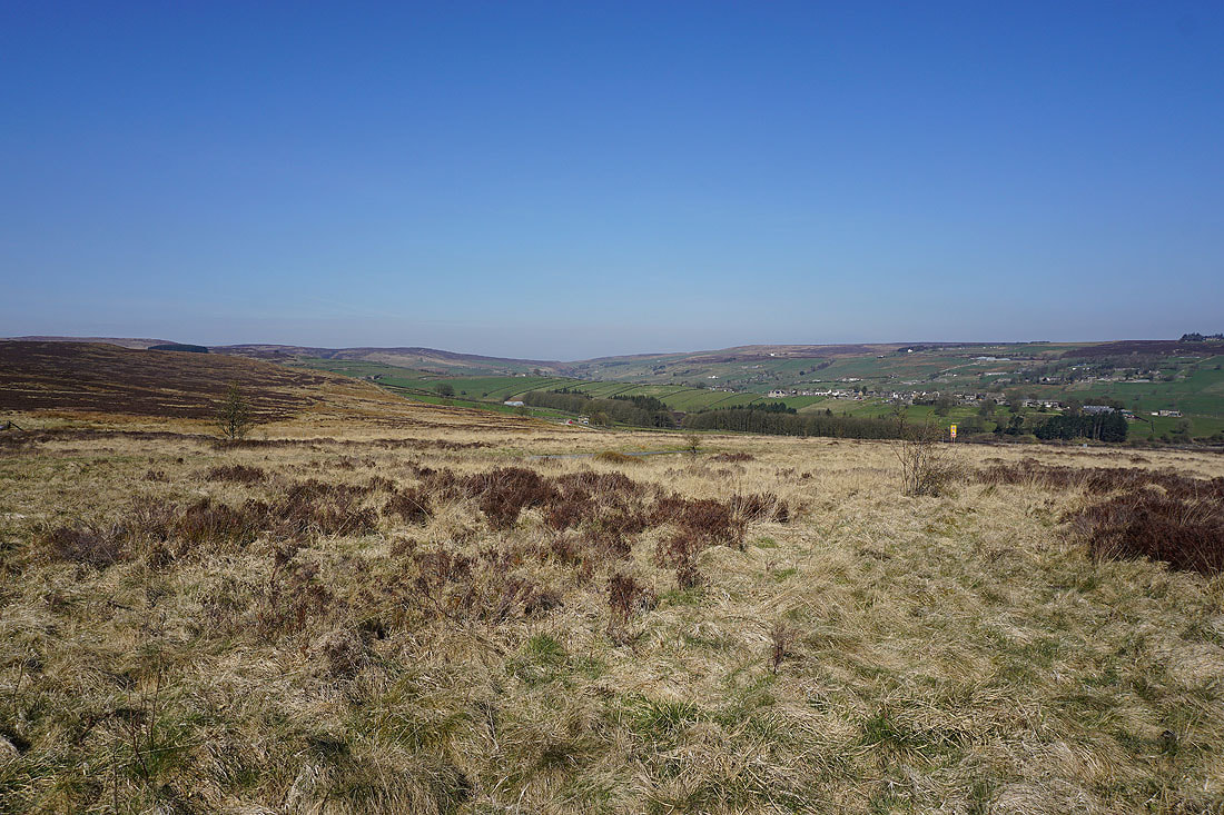
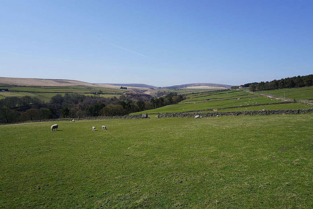
Great views across the Worth Valley from Penistone Hill Country Hill Park..
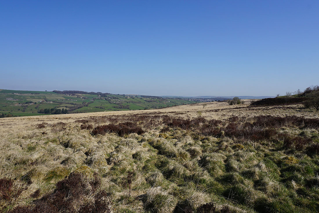
Looking back to Penistone Hill from the footpath to Drop Farm
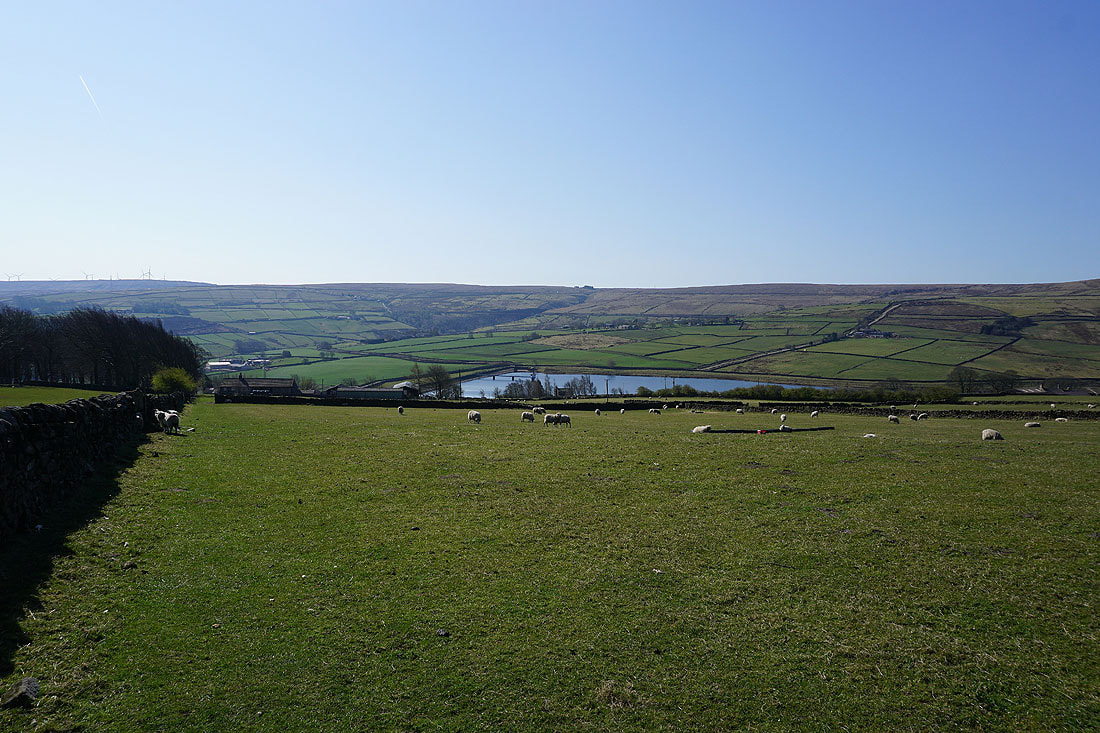
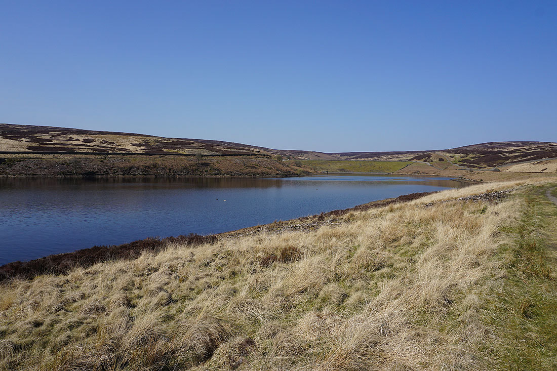
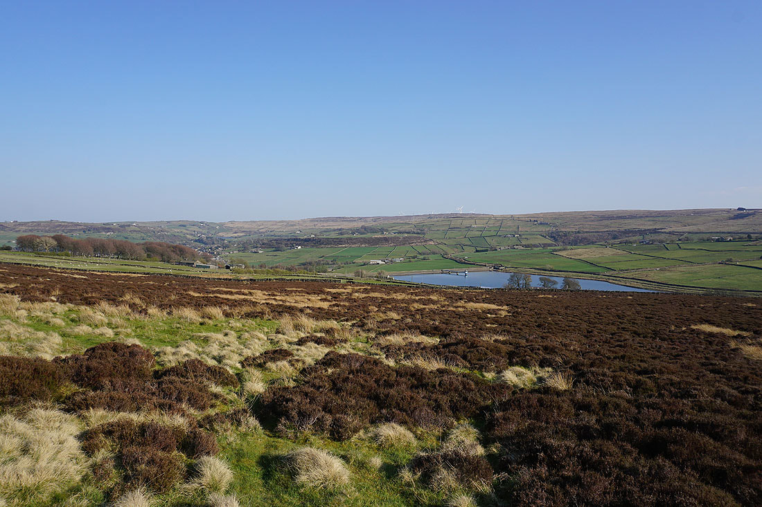
Leeshaw Reservoir below as I follow the footpath down to Lee Lane
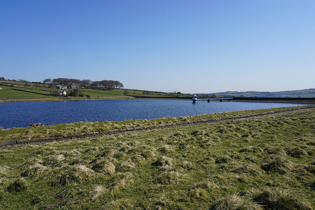
Leeshaw Reservoir
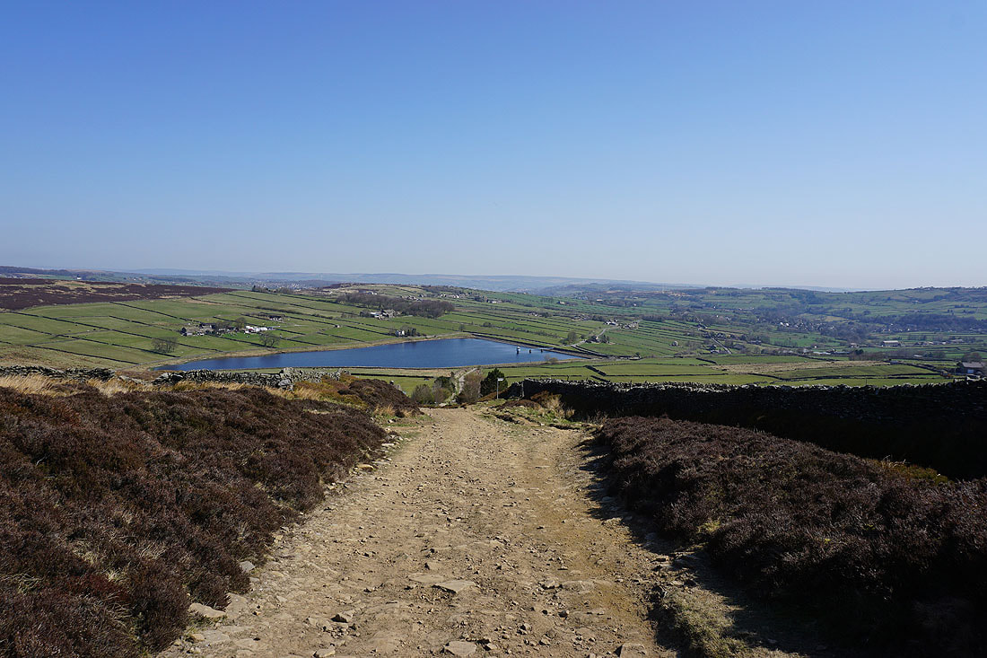
Penistone Hill and Leeshaw Reservoir below from Bodkin Lane
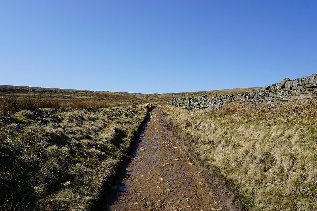
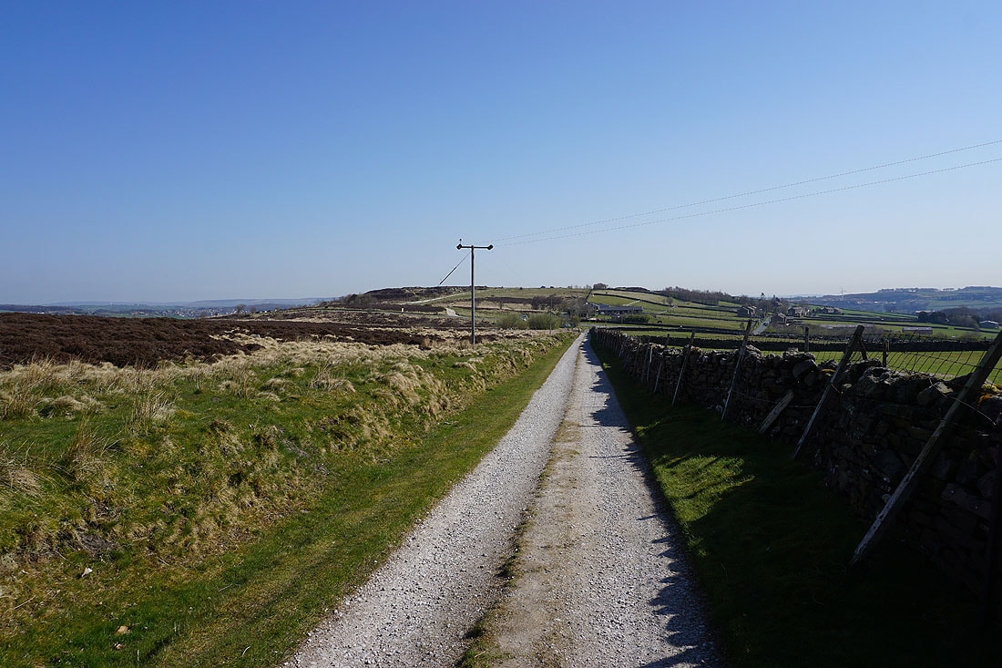
Heading up the track of Stairs Lane
Looking back over the moors of Bronte Country as I reach the top of Stairs Lane
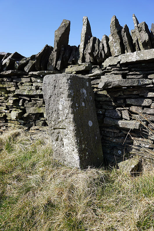
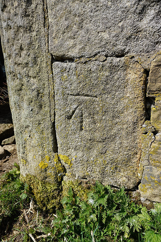
Boundary stone with OS benchmark at the top of Stairs Lane
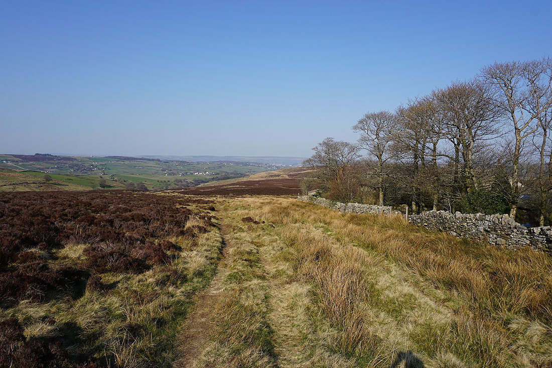
The moors of Calderdale ahead as I follow Stairs Lane down into Crimsworth Dean
Looking across the top of Shackleton Moor to Hoof Stones Height in the distance
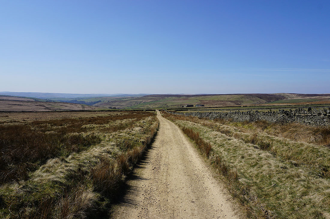
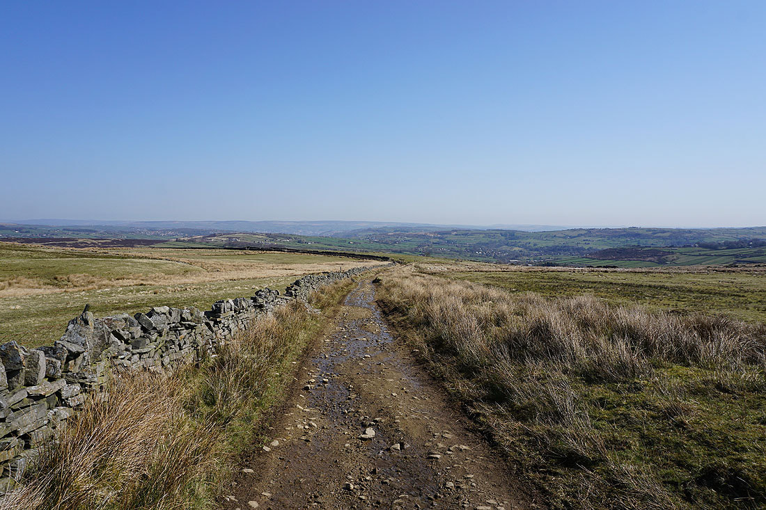
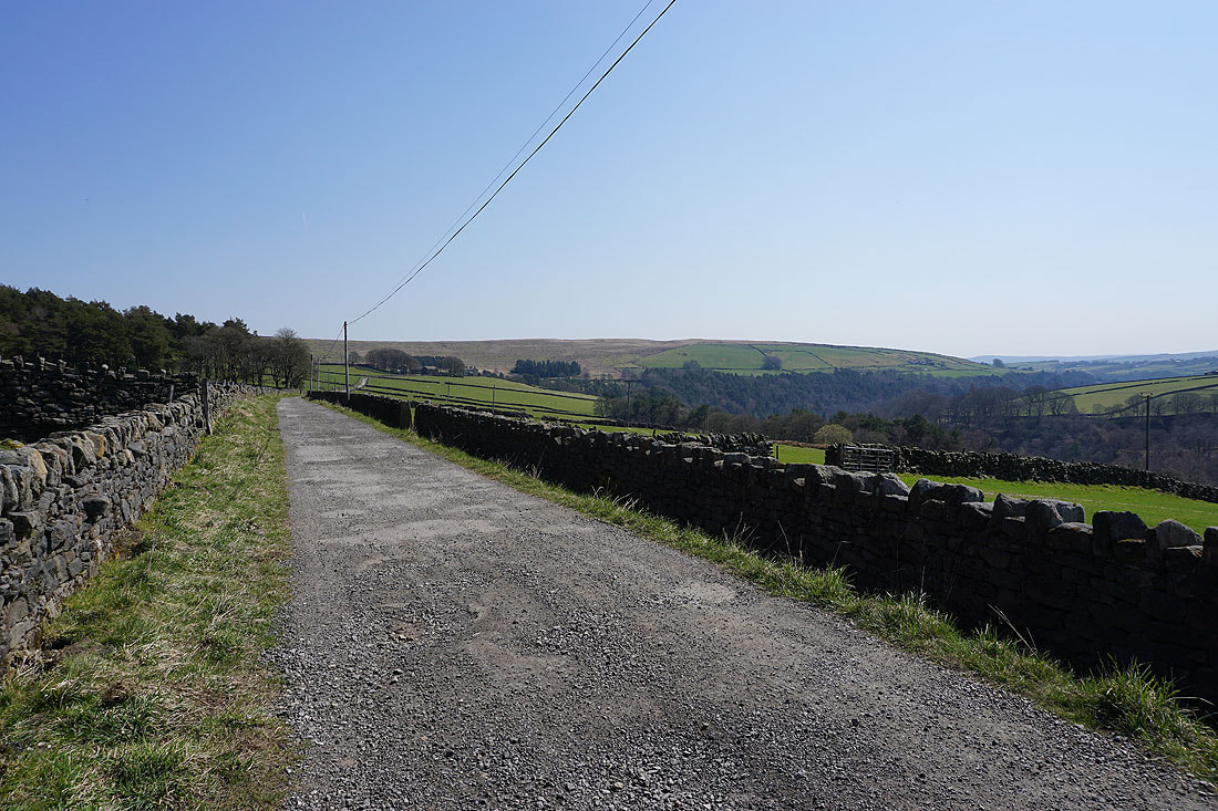
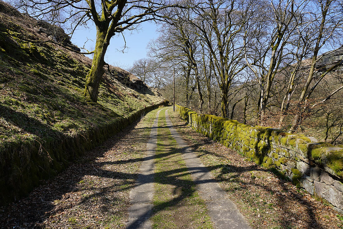
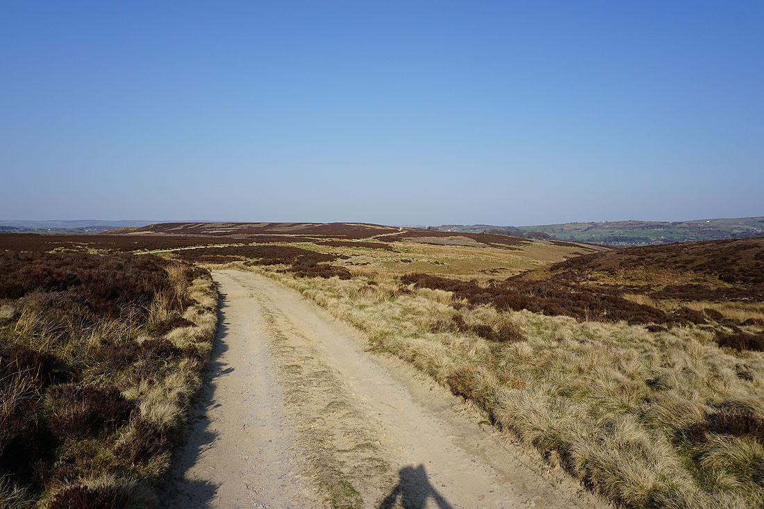
Following the track of Stairs Lane and then Old Road down into Crimsworth Dean..
Mare Greave Clough
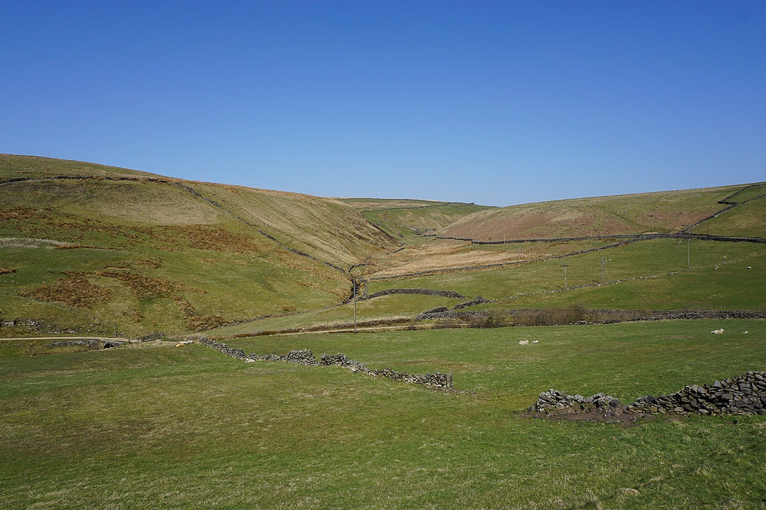
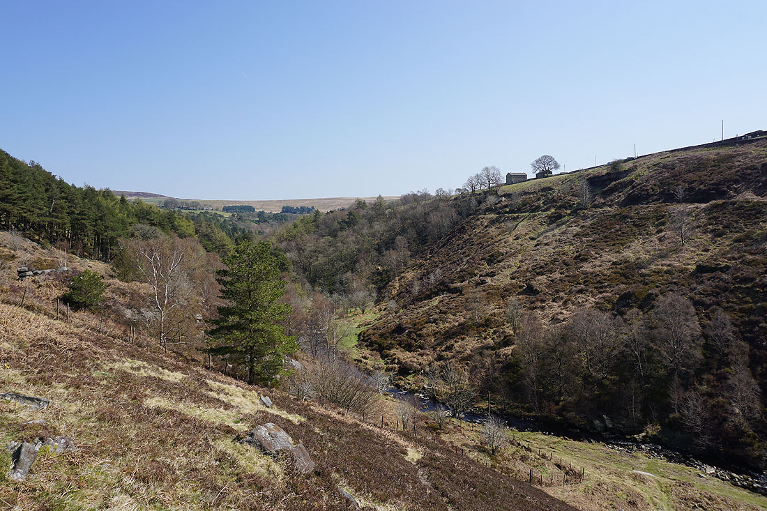
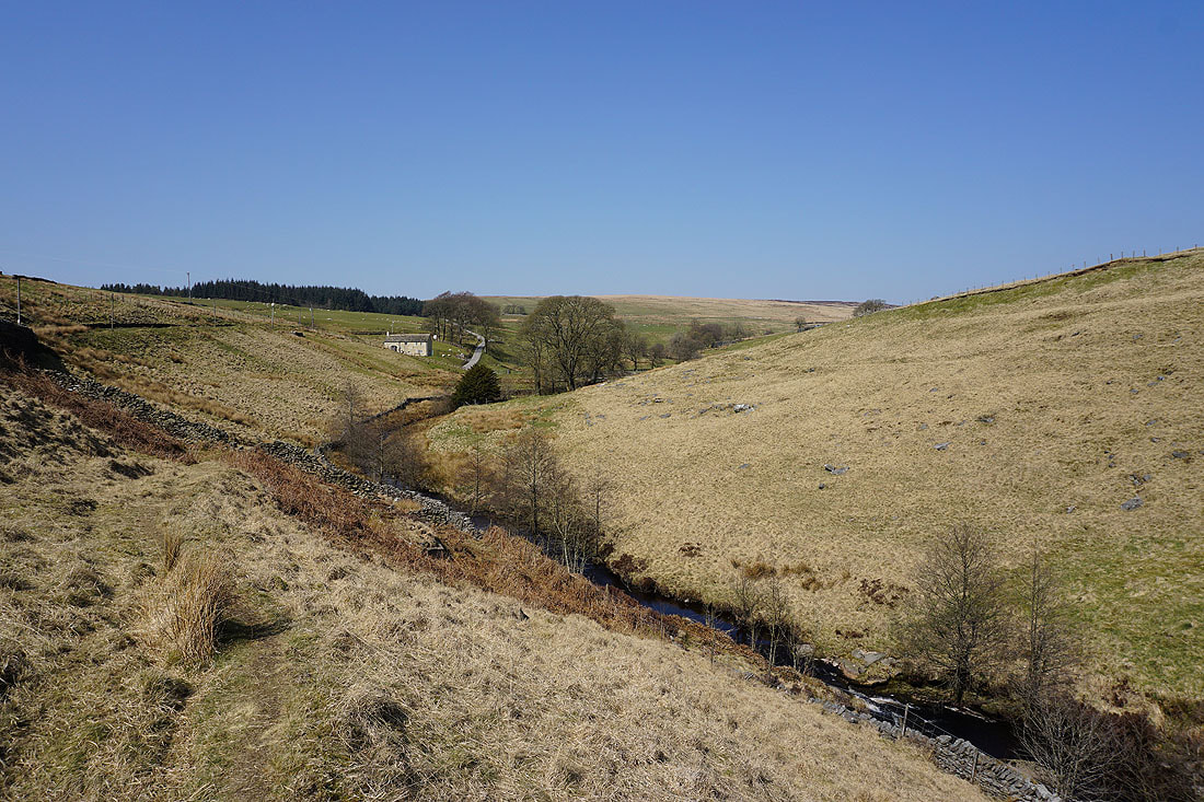
Looking down Crimsworth Dean from above Grain Farm
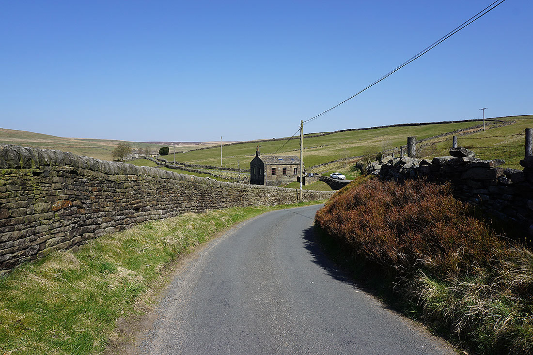
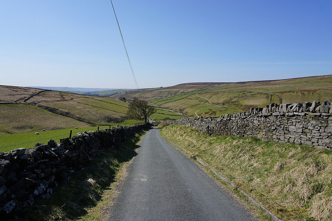
Looking back north along Old Road. The building is the former Crimsworth Dean Wesleyan School.
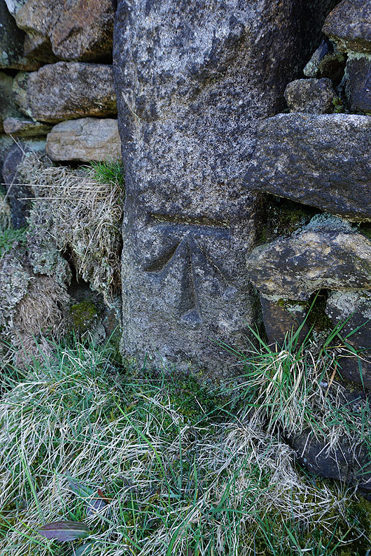
OS benchmark on the wall next to the road. Once you start noticing them they seem to be everywhere.
|
|
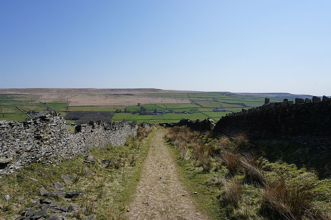
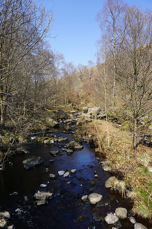
I leave Old Road for the bridleway down to Lumb Hole Waterfall in Crimsworth Dean
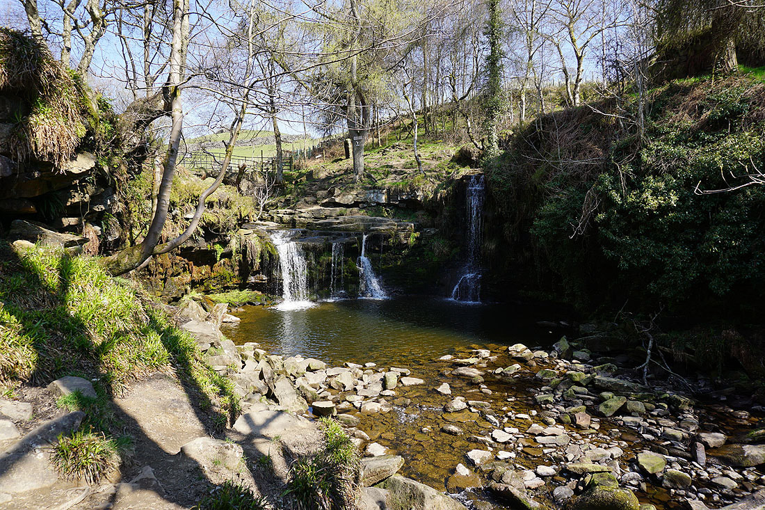
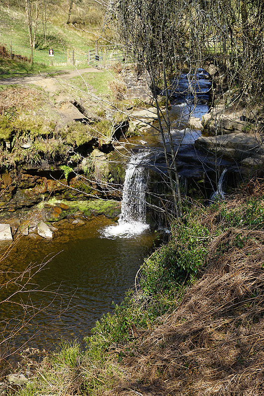
Lumb Hole Waterfall
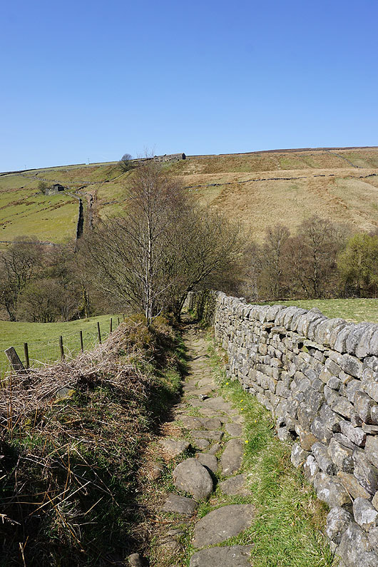
Looking down Crimsworth Dean as I take the bridleway from Lumb Bridge up to the one on the western side of the dale
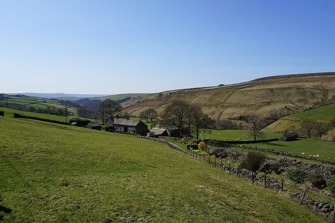
Looking up Crimsworth Dean from by the ruins of Nook Farm
OS benchmark on the ruins of Nook Farm
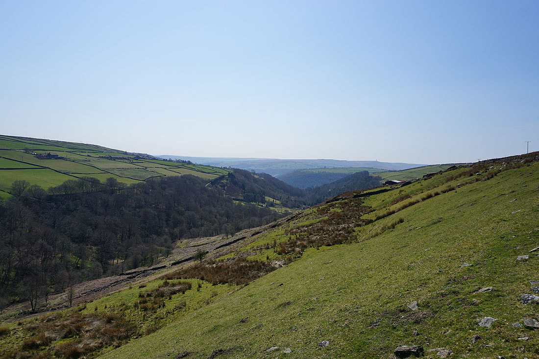
Looking across Crimsworth Dean to High Brown Knoll from the bridleway across to Hebden Dale
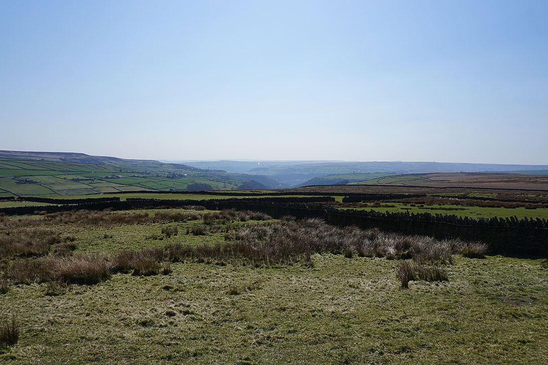
Hebden Bridge to the south
Following the bridleway down to Walshaw in Hebden Dale..
Looking up Hebden Dale from Walshaw
and back down Hebden Dale from the track past New Laithe Farm
A very pleasant stop for lunch. Sat in the sun above Hebden Water in Black Dean..

Crossing Alcomden Water
On the track, then footpath above Alcomden Water to Holme Ends..
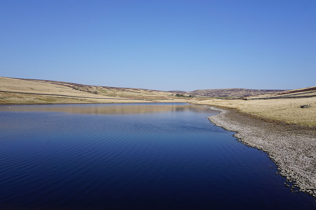
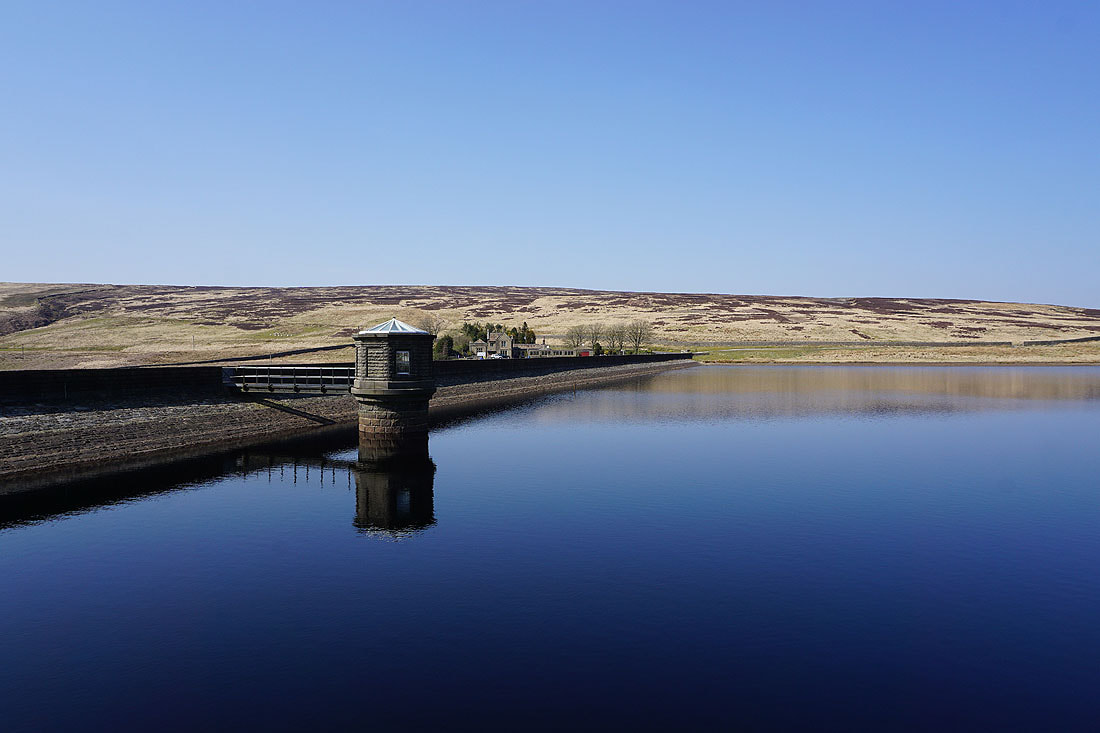
On the Pennine Way by Walshaw Dean Lower and Middle Reservoirs...
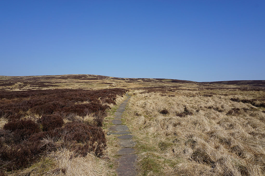
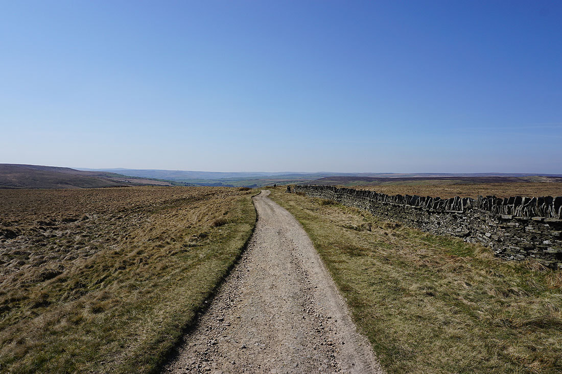
Following the Pennine Way up onto Withins Height End
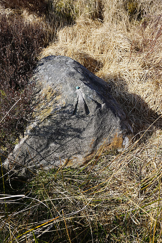
Passing a boulder with an OS benchmark and bolt
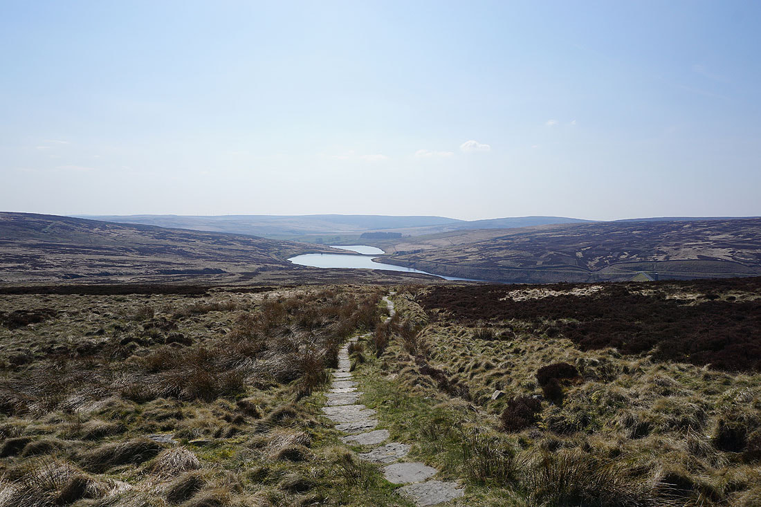
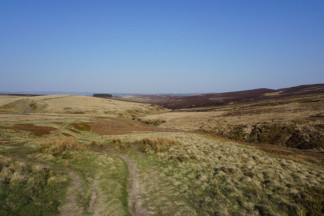
Looking back down Walshaw Dean
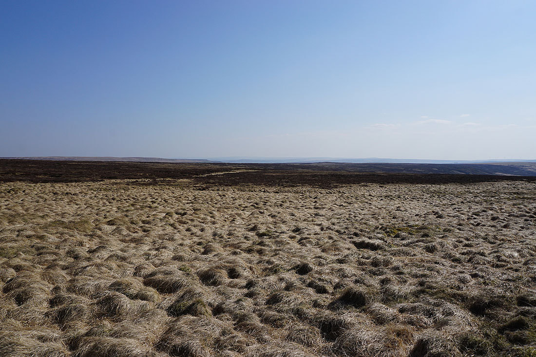
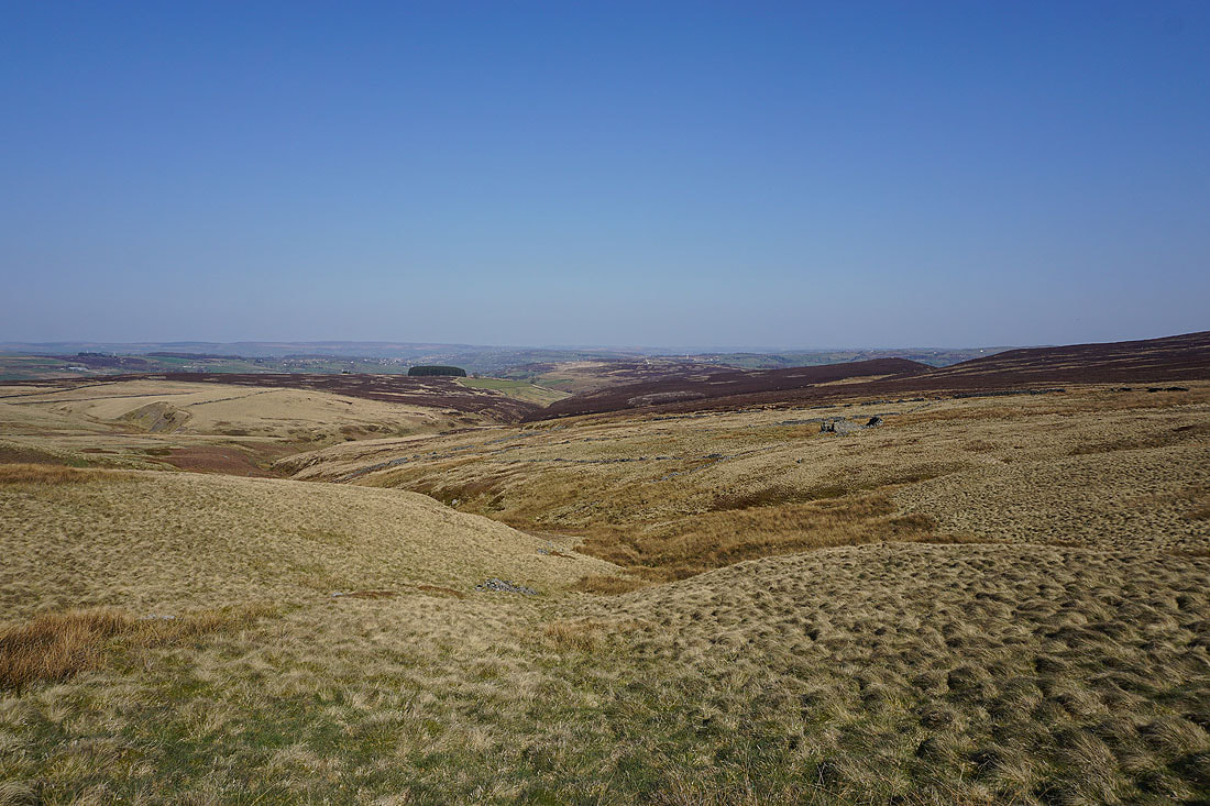
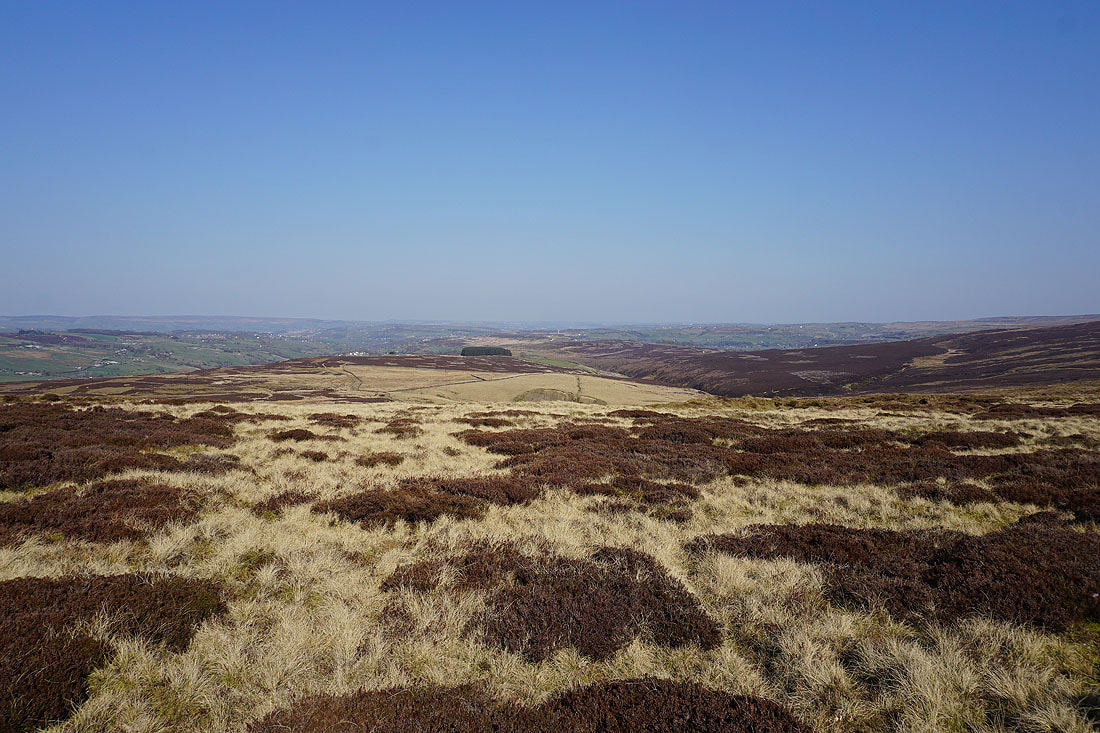
At the top of the Pennine Way. Broad South Pennines moors around Calderdale to the south.
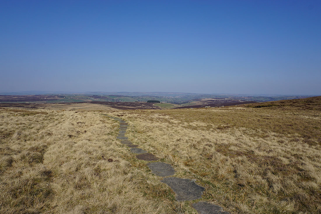
The moors of Bronte Country come into view
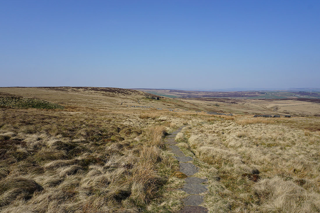
Following the Pennine Way to Top Withins..
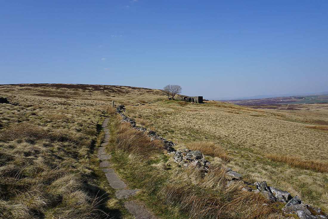
The moorland of The Height and Haworth Moor below
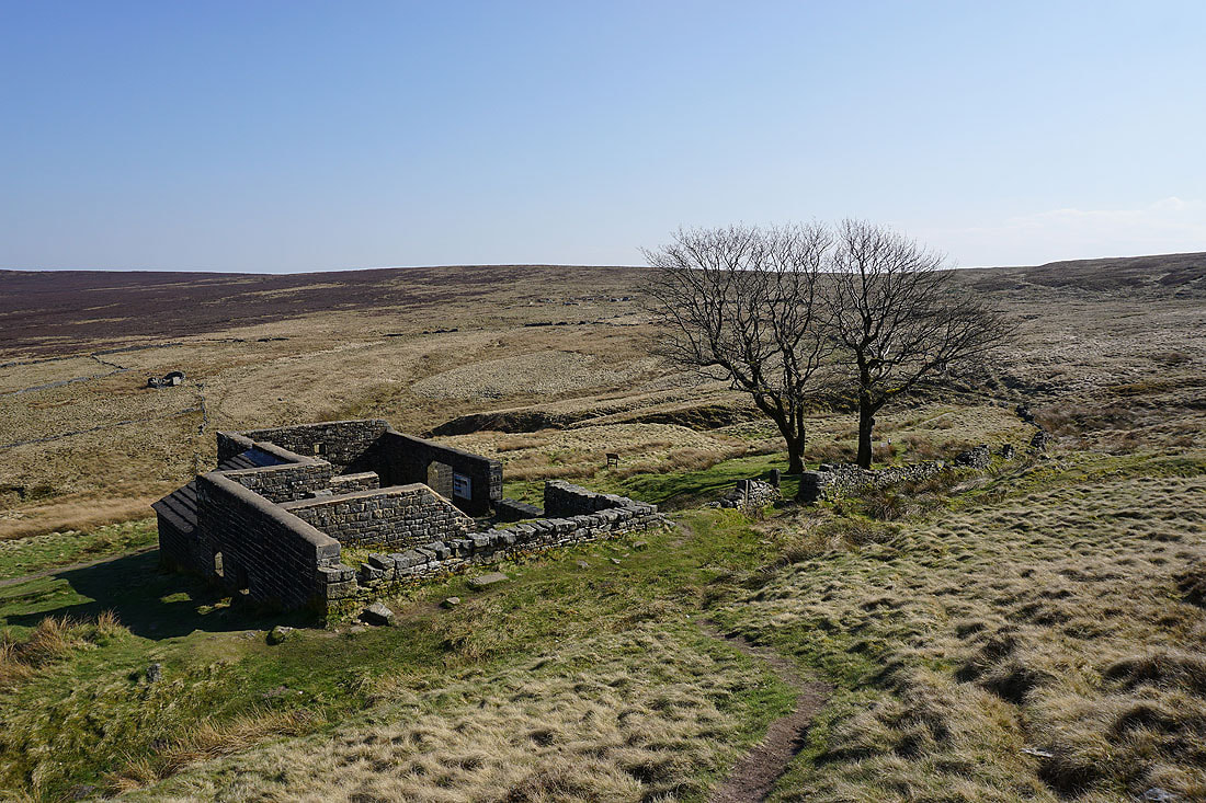
The ruins of Top Withins. I have the place to myself, one advantage of being here at 4 o'clock on a Monday afternoon.
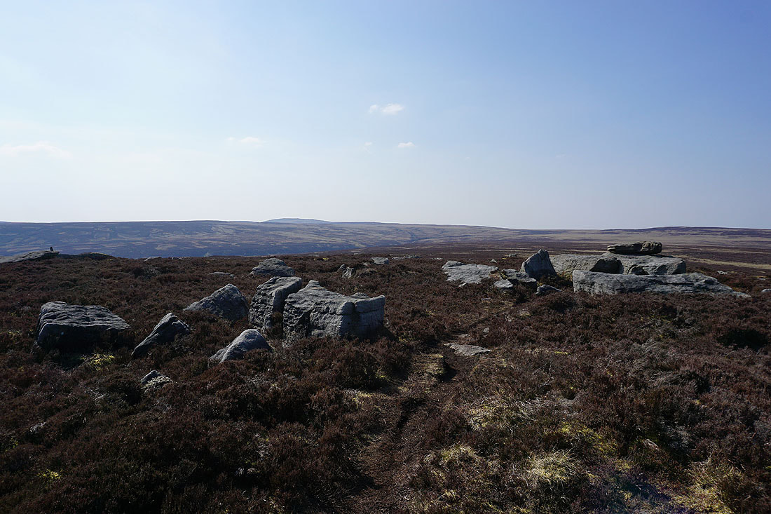
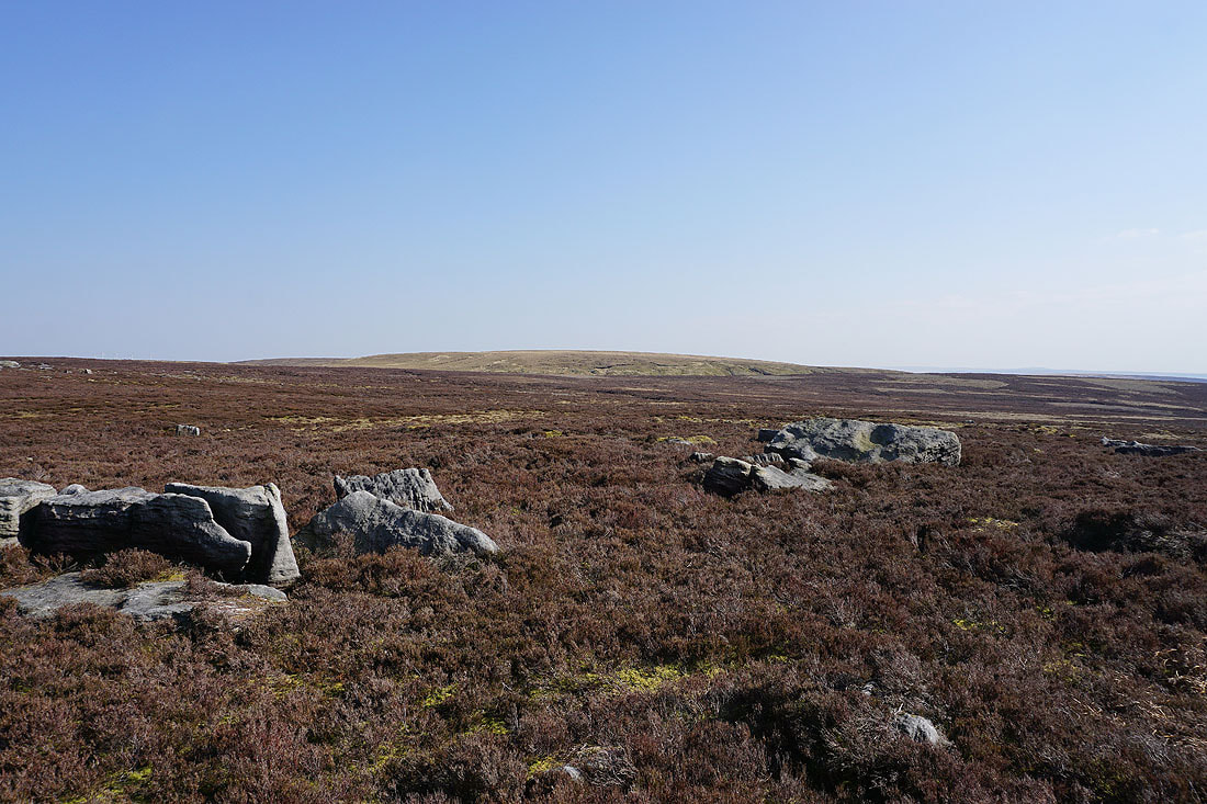
From Top Withins I've made my way to the Alcomden Stones. Boulsworth Hill and Crow Hill to the northwest.
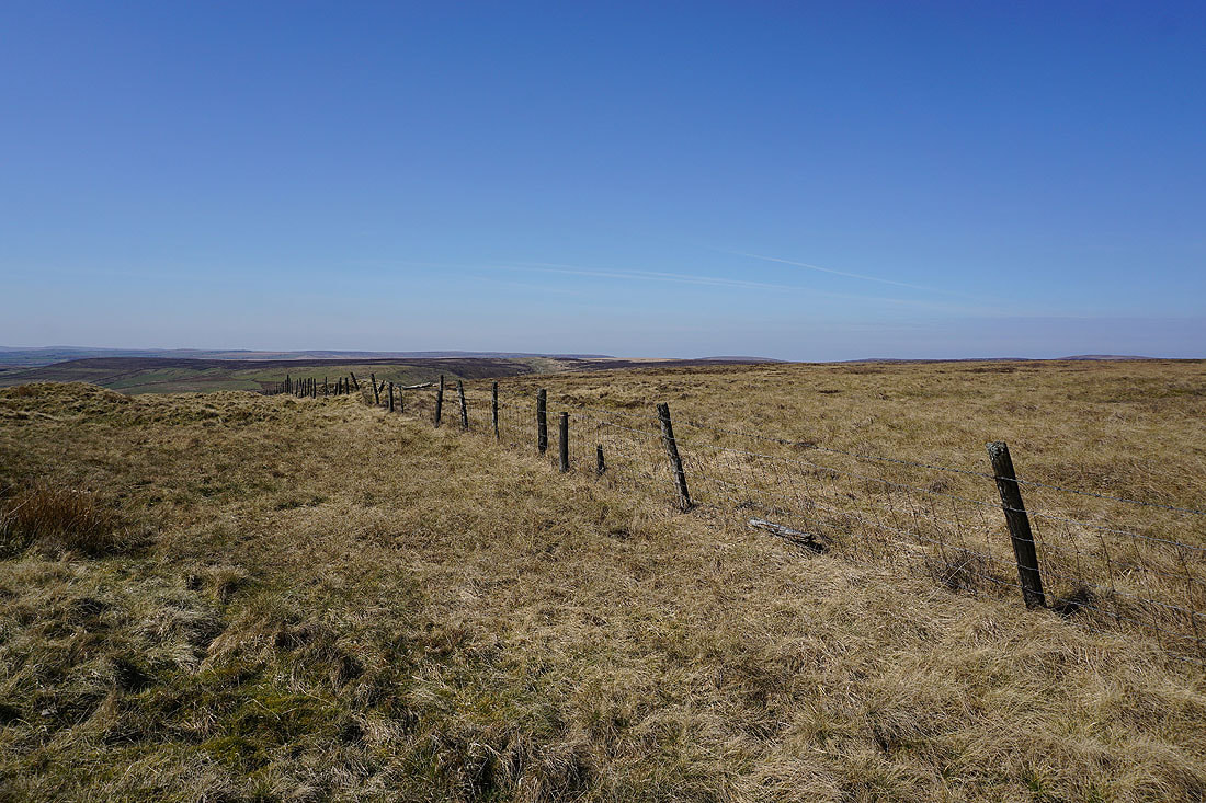
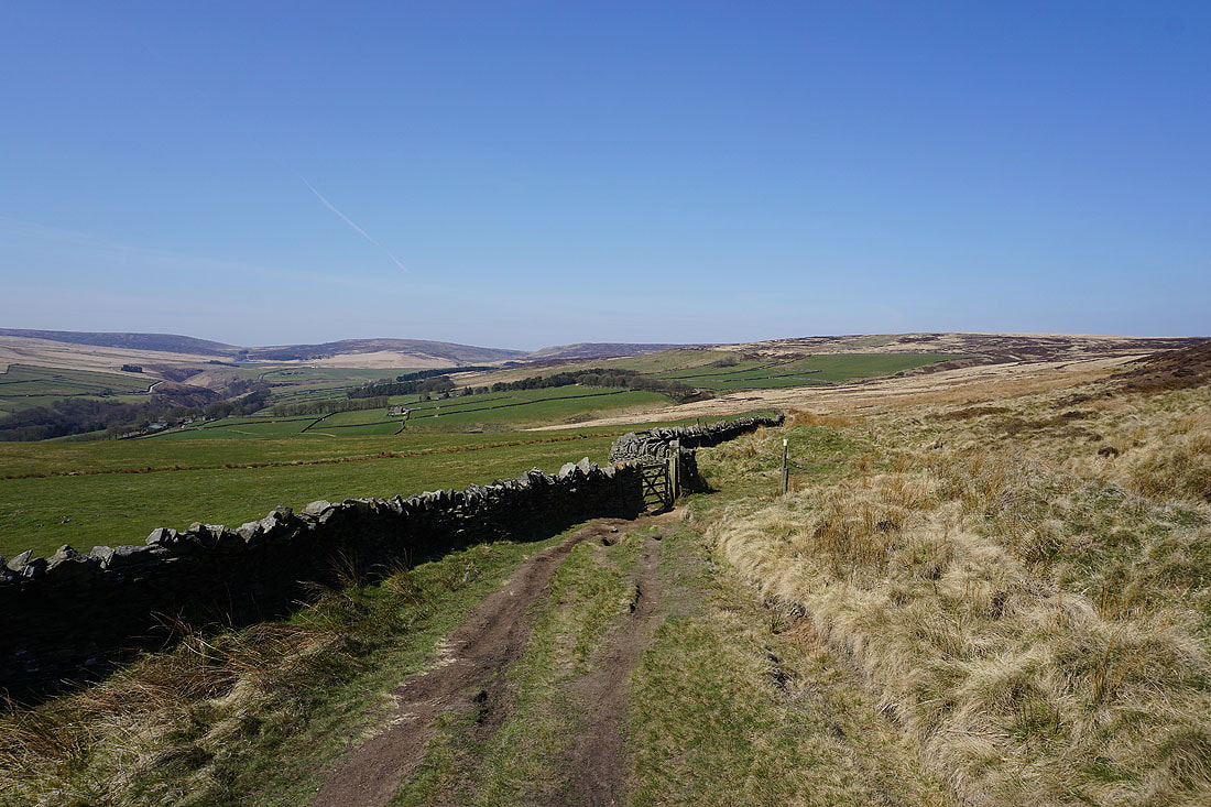
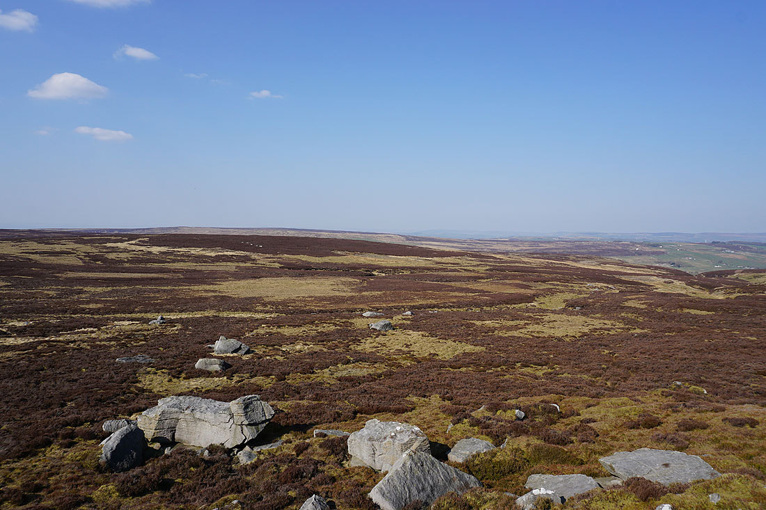
The moorland around Walshaw Dean and the top of Hebden Dale
Round Hill
Looking north to Wolf Stones and Oakworth Moor
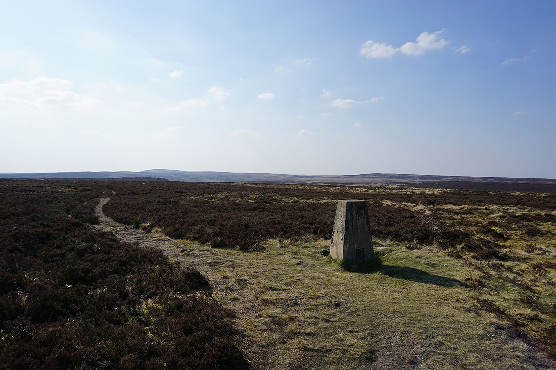
At the trig point on Stanbury Moor with Boulsworth Hill and Crow Hill to the west and northwest
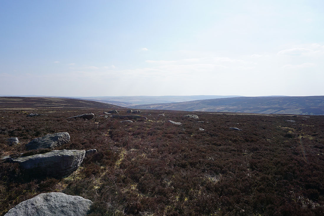
Wolf Stones and Oakworth Moor to the north
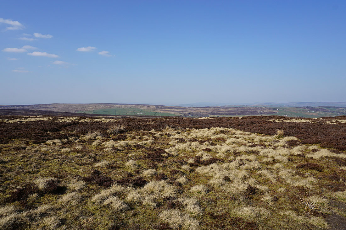
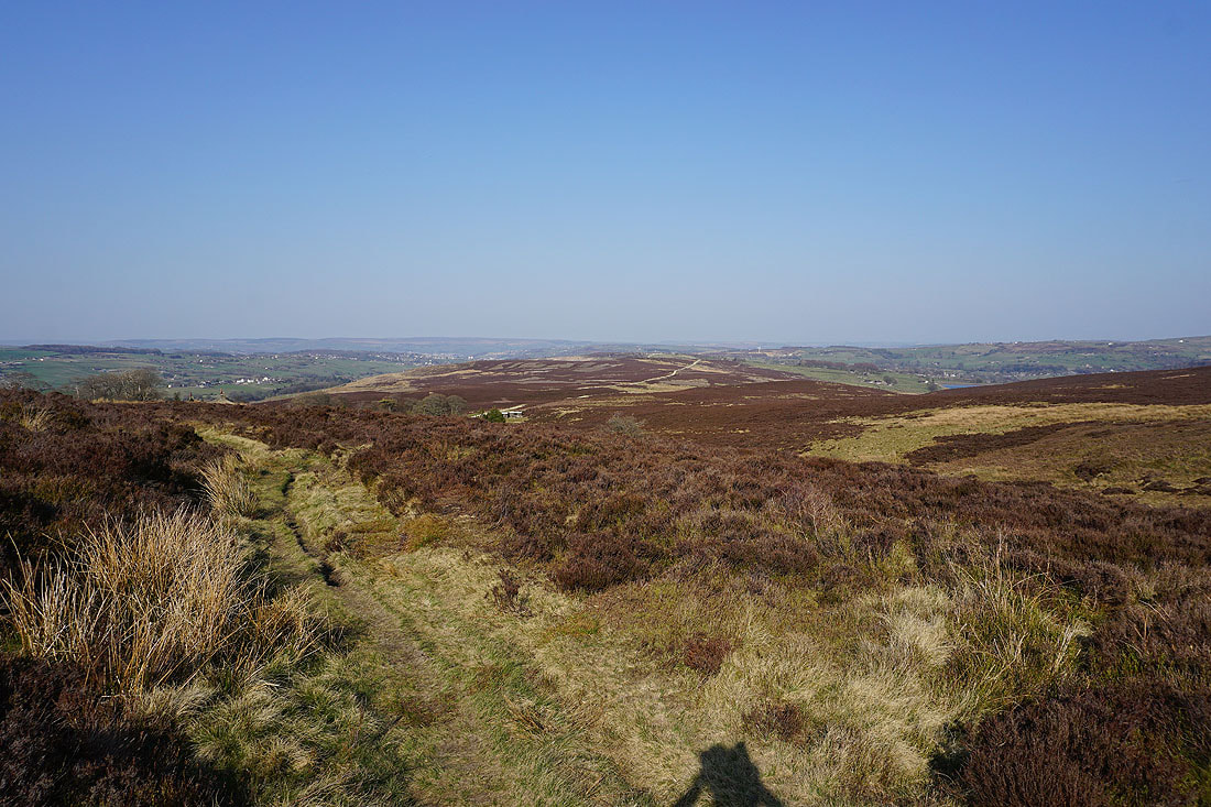
There's a great view from up here looking east across the moorland of Bronte Country
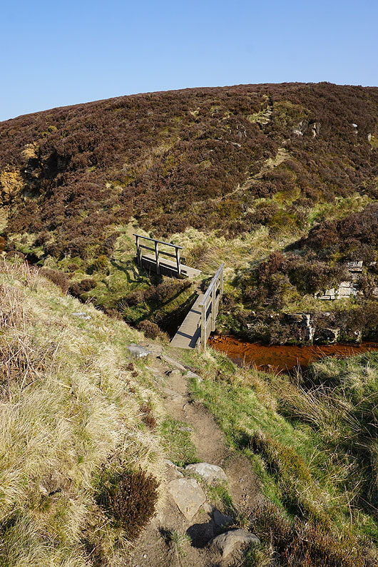
From Top Withins I follow the path down to and across South Dean Beck..
Haworth Moor from Harbour Hill
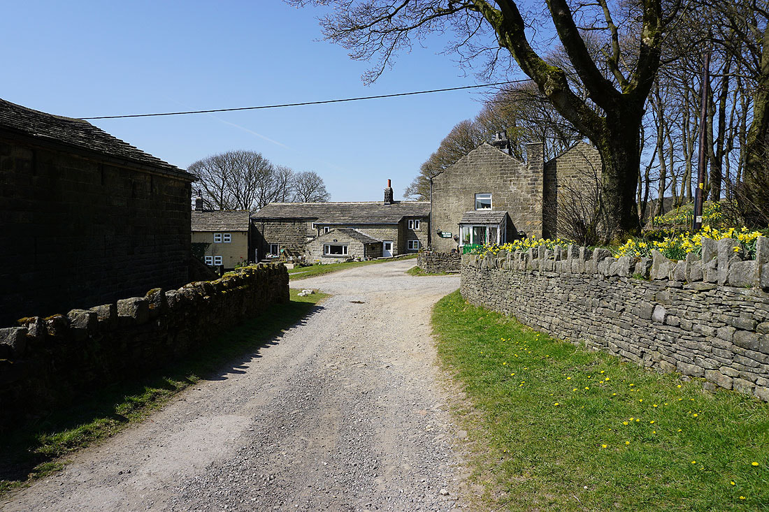
Looking towards Stanbury and Haworth from by Harbour Lodge
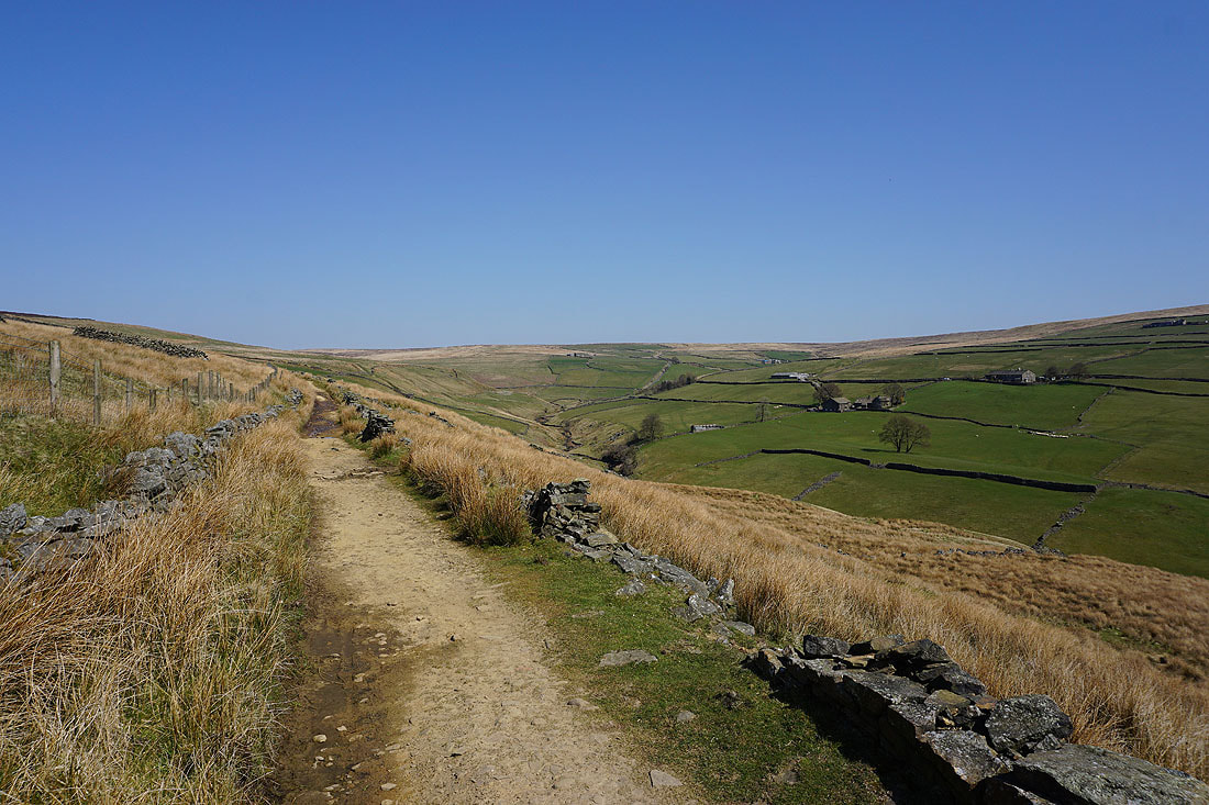
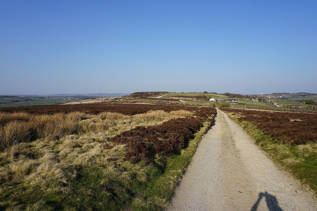
Following the track east across Haworth Moor to Moor Side Lane
Oxenhope and Leeshaw Reservoir to my right
Penistone Hill is back in sight at the end of a very enjoyable walk