19th December 2010 - Cribden Hill
Walk Details
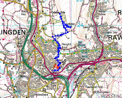
Distance walked: 4.4 miles
Total ascent: 702 ft
OS map used: 287 - West Pennine Moors
Time taken: 2.5 hrs
Route description: Home-Pike Law-Height End-The Halo-Cribden Side-Cribden Hill-Height End-Pike Law-Home
A short walk from home up to The Halo and the summit of Cribden Hill.
Total ascent: 702 ft
OS map used: 287 - West Pennine Moors
Time taken: 2.5 hrs
Route description: Home-Pike Law-Height End-The Halo-Cribden Side-Cribden Hill-Height End-Pike Law-Home
A short walk from home up to The Halo and the summit of Cribden Hill.
Route map
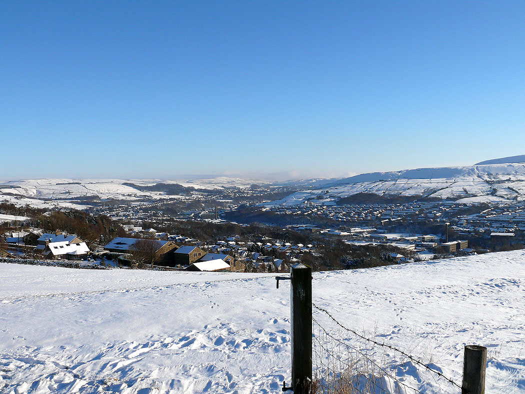
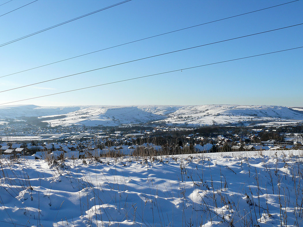
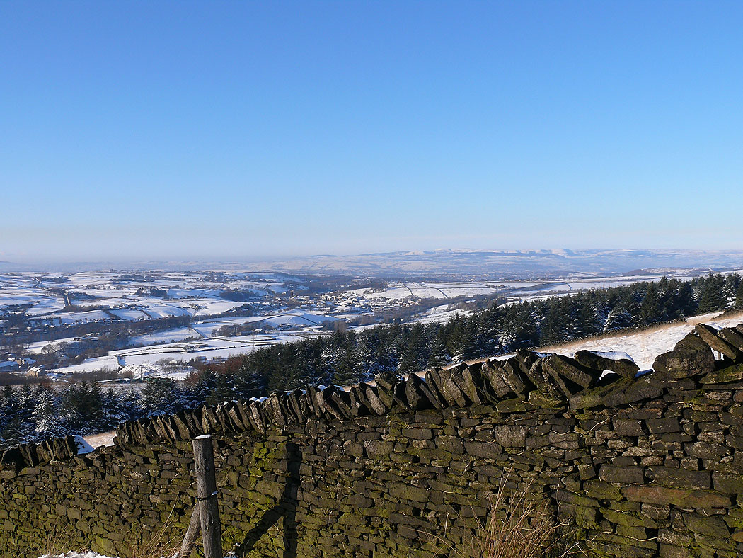
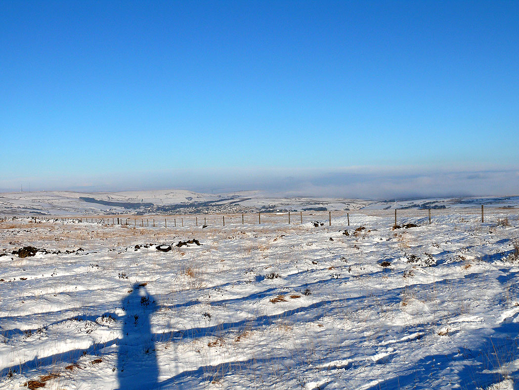
Rawtenstall
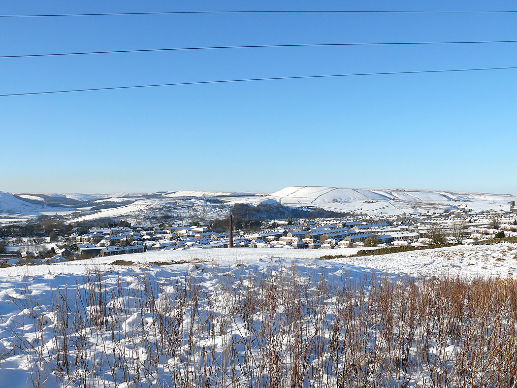
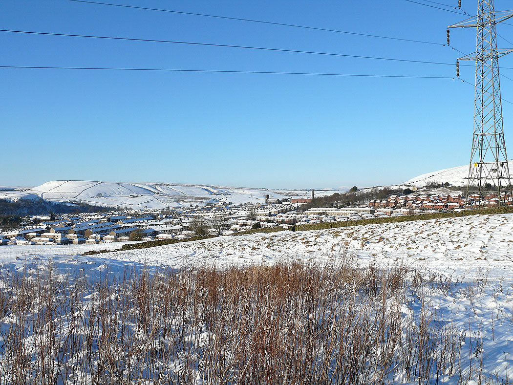
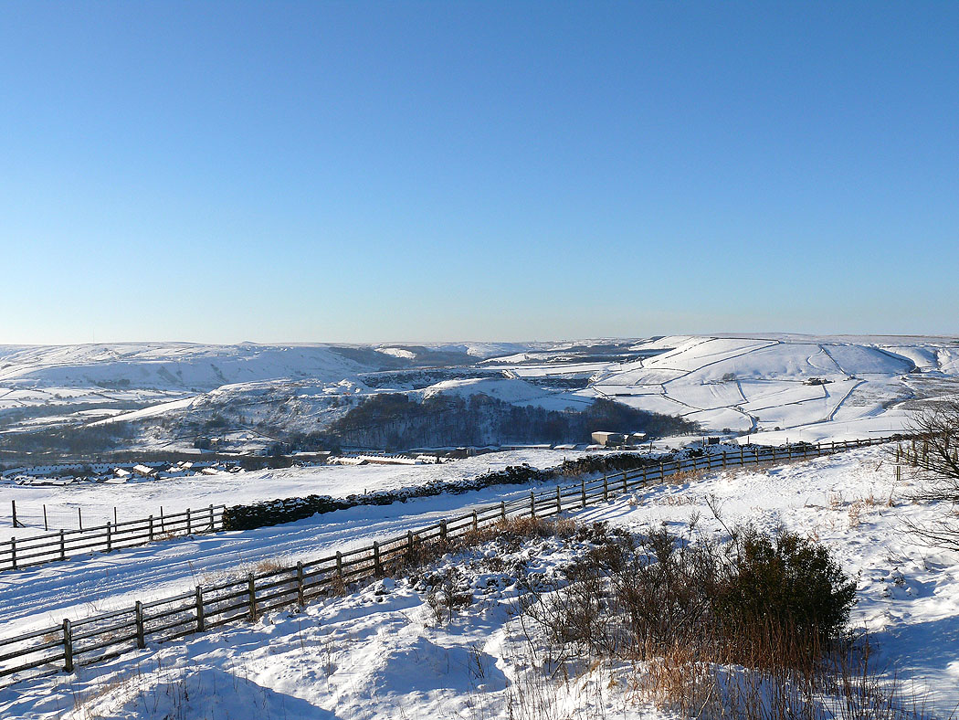
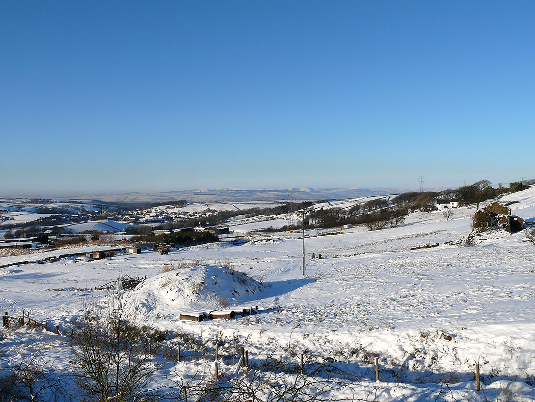
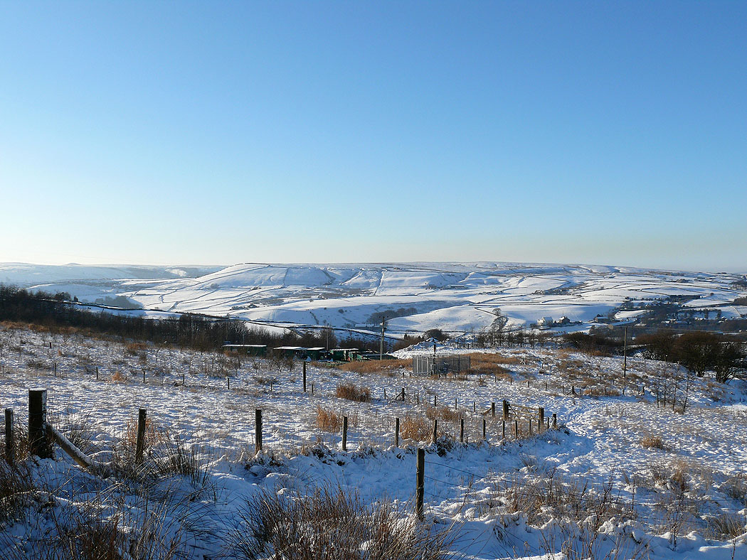
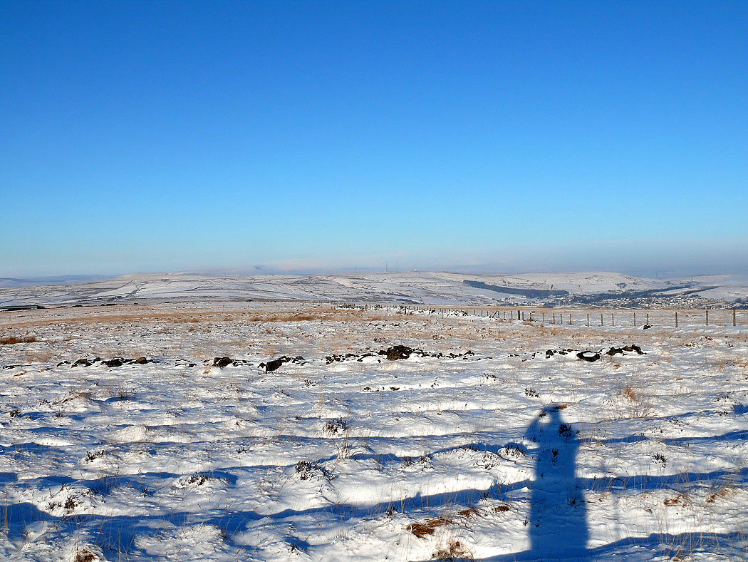
Haslingden and the West Pennine Moors
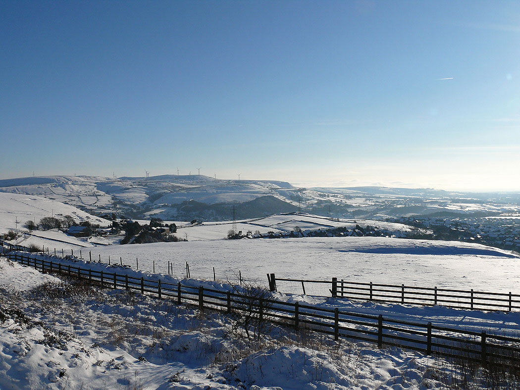
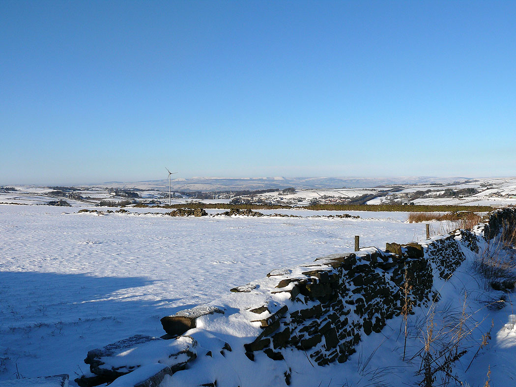
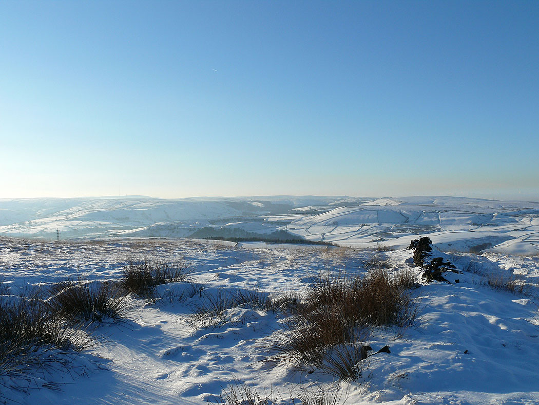
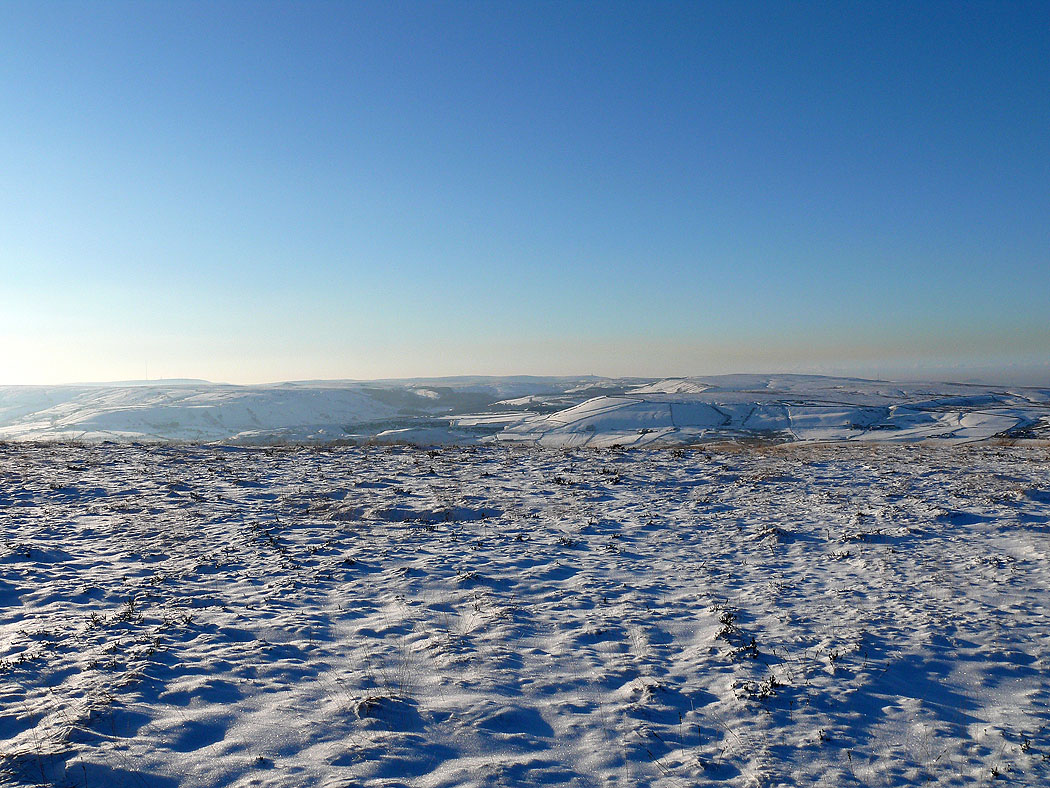
Wind turbines on Scout Moor in the South Pennines
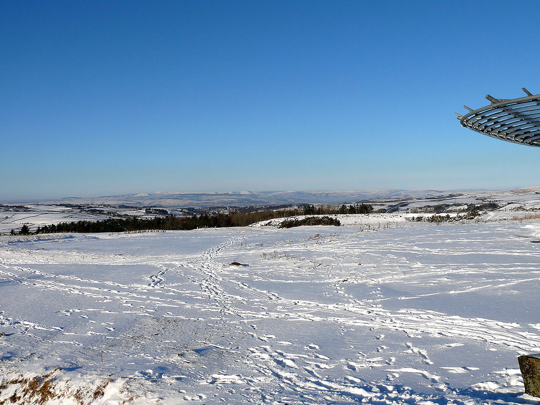
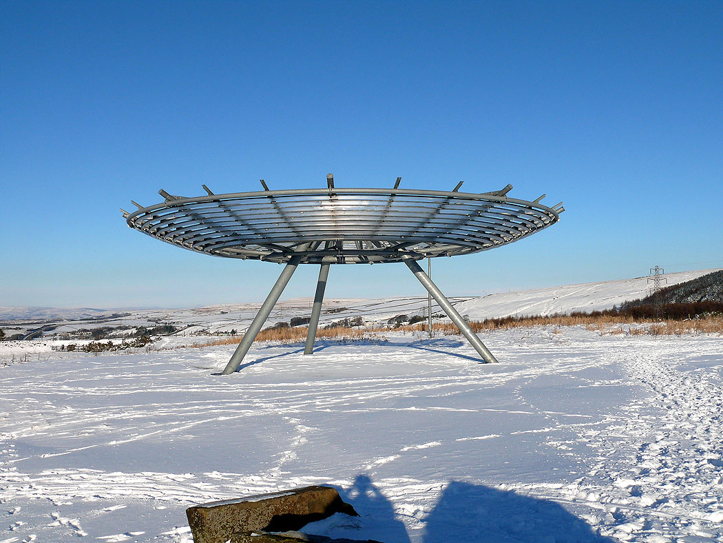
The Halo. One of the Panopticons in East Lancashire.
The Forest of Bowland beyond the wind turbine
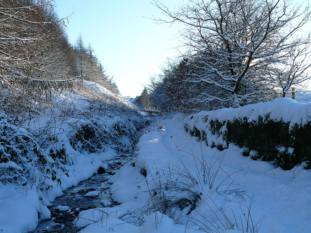
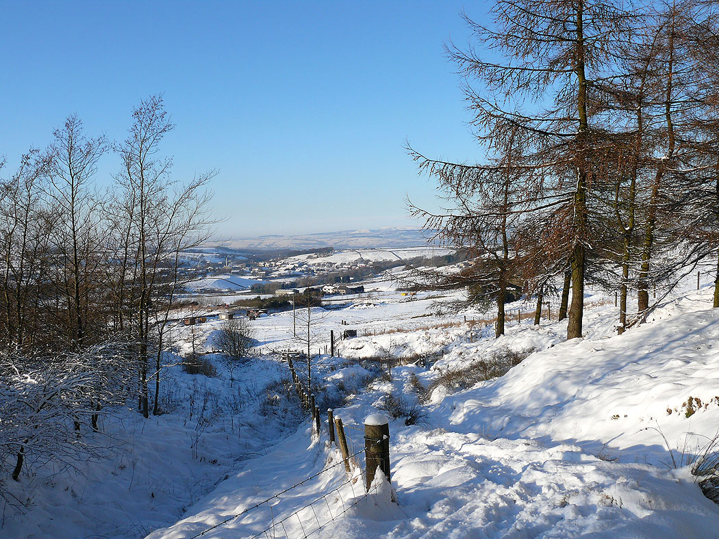
Snowy track
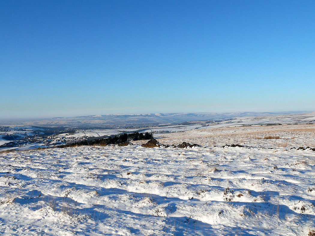
West Pennine Moors
Heading up to Cribden Hill above Haslingden
West Pennine Moors
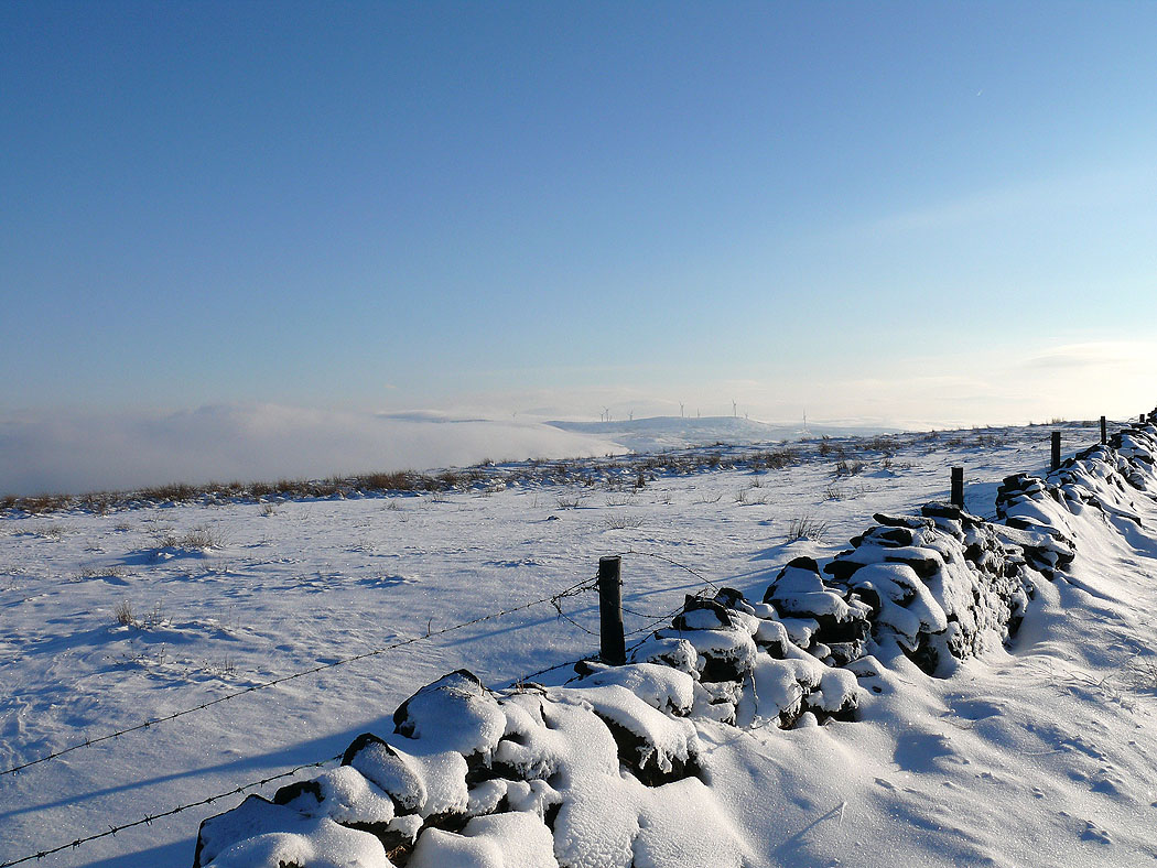
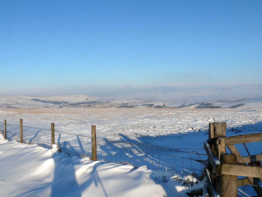
Low cloud is approaching from the east
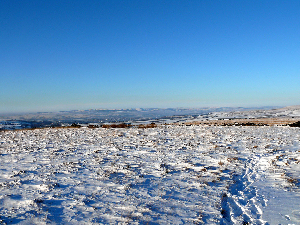
The Forest of Bowland in the distance
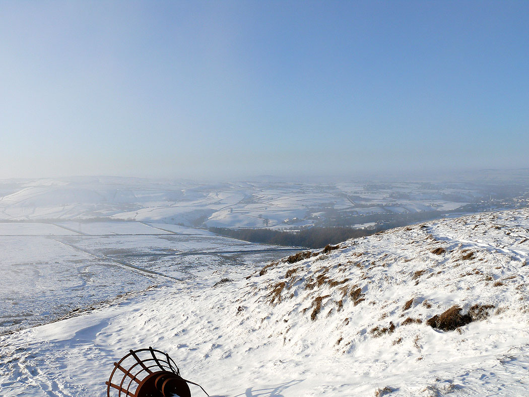
The mist finally gets me
