19th December 2021 - Great Whernside
Walk Details
Distance walked: 10.6 miles
Total ascent: 1906 ft
OS map used: OL2 - Yorkshire Dales, Southern & Western areas and OL30 - Yorkshire Dales, Northern & Central areas
Time taken: 6.5 hrs
Route description: Kettlewell-Highgate Leys Lane-Dales Way-Conistone Pie-Dales Way-Bycliffe Road-Conistone Turf Road-Capplestone Gate-Whernside Pasture-Great Whernside-Hag Dyke-Kettlewell
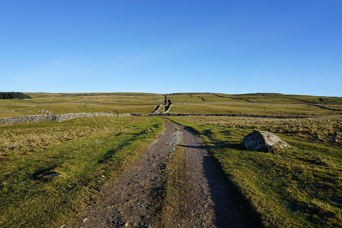
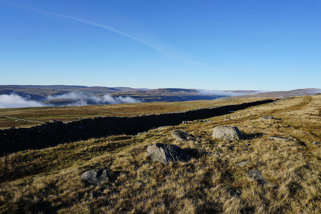
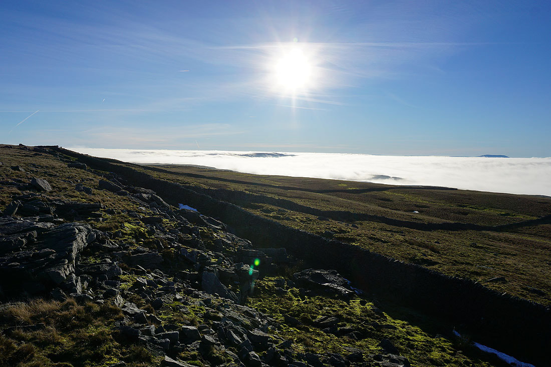
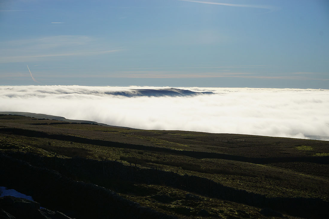
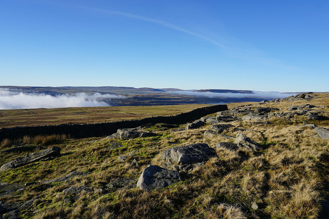
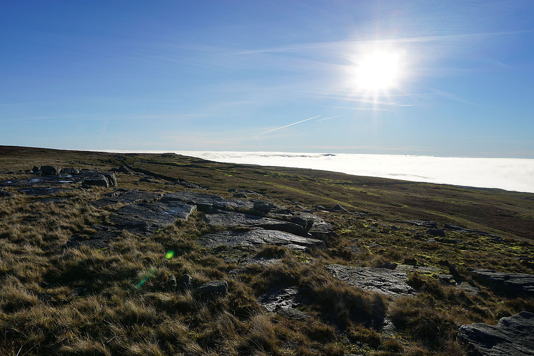
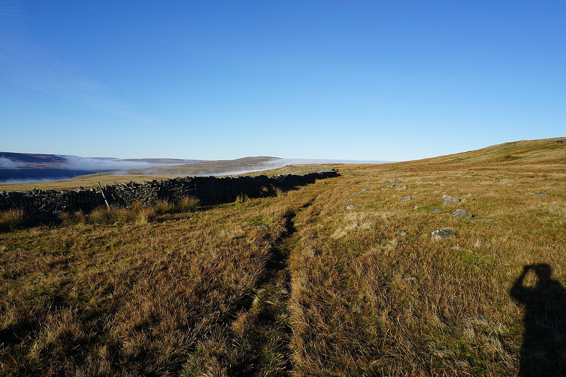
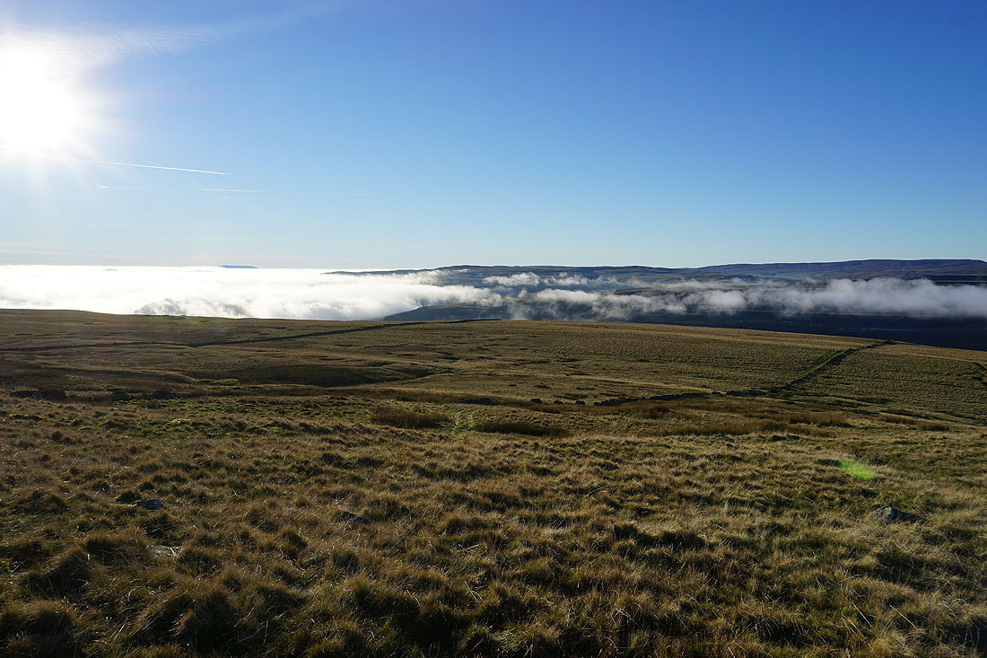
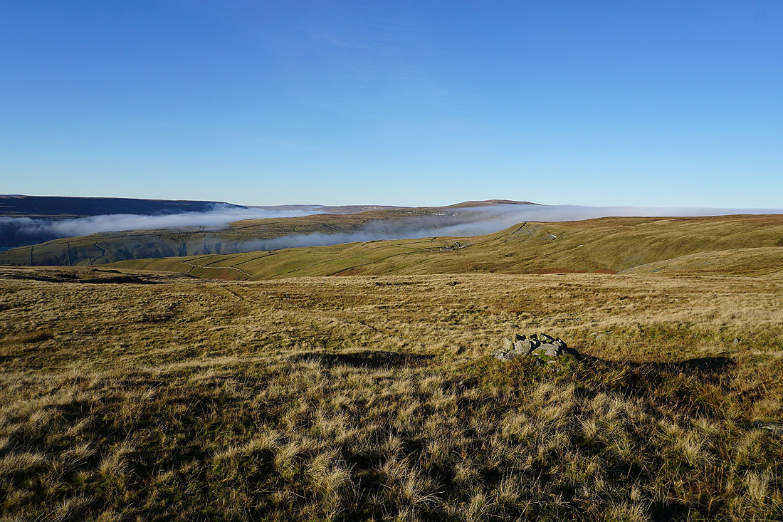
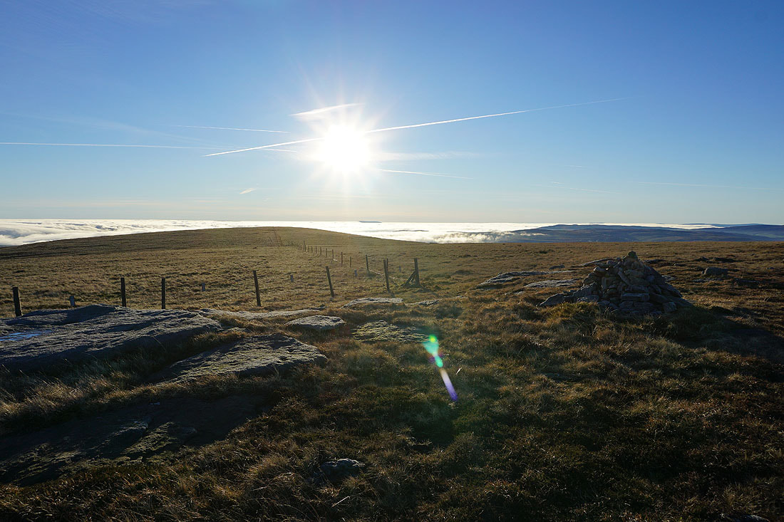
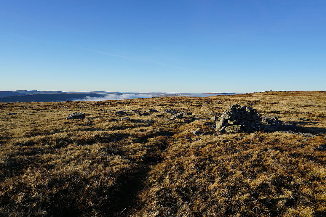
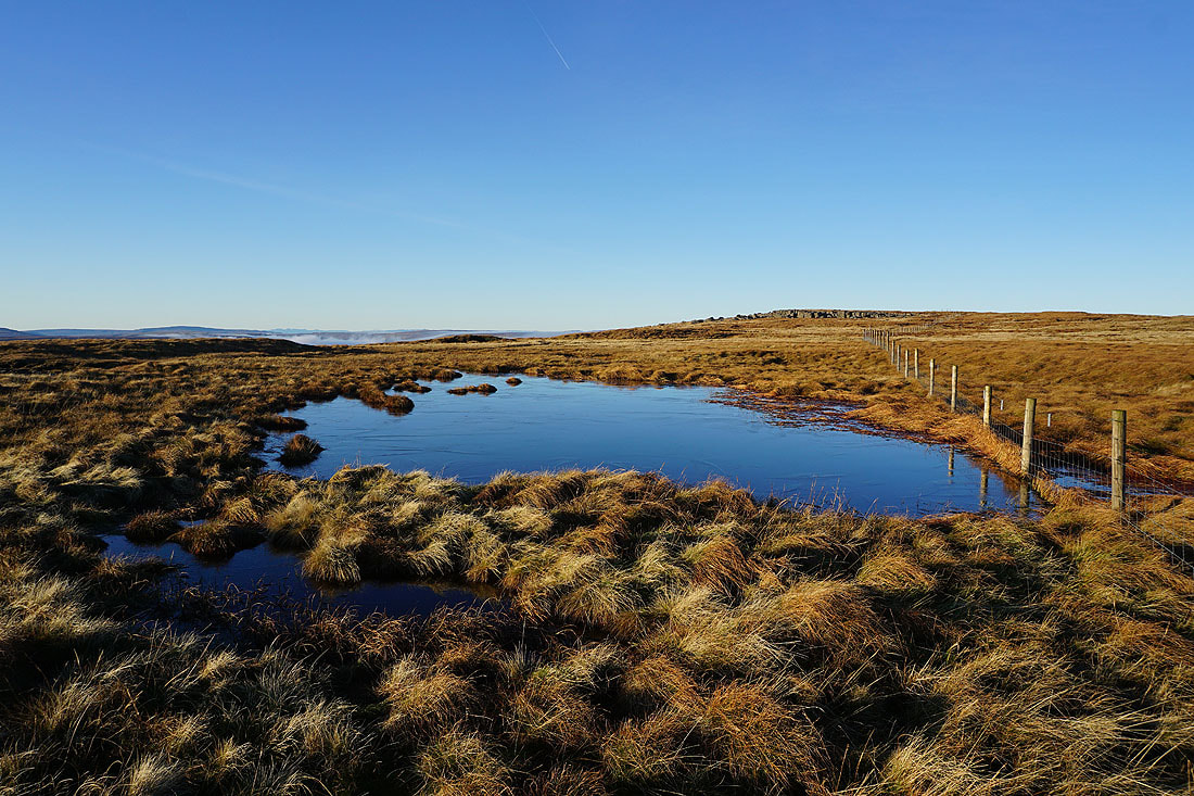
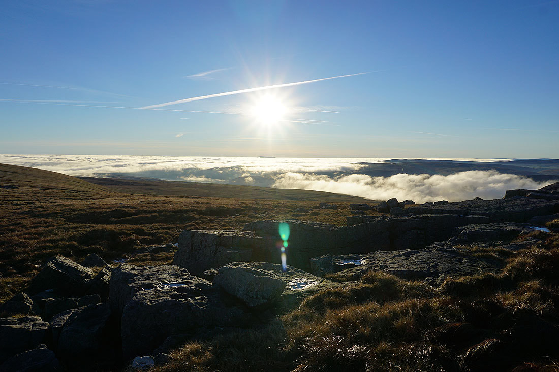
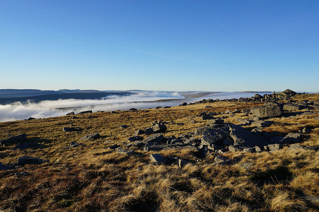
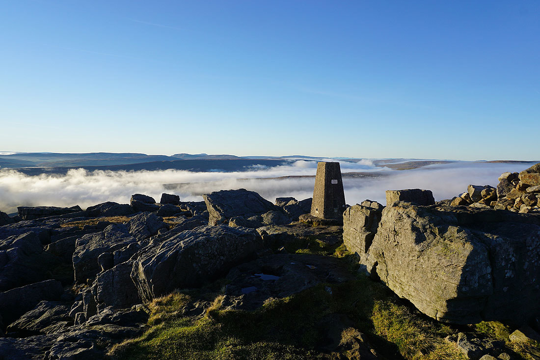
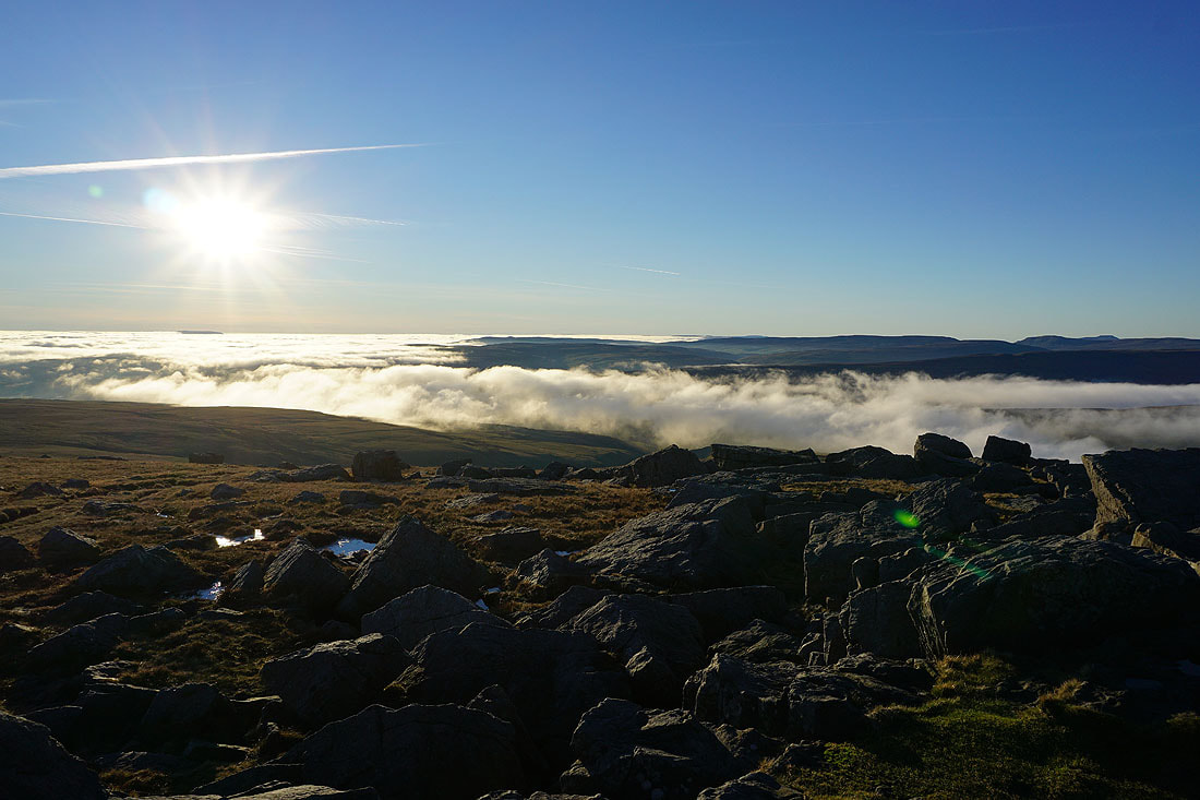
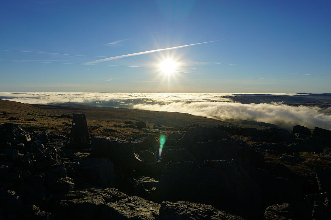
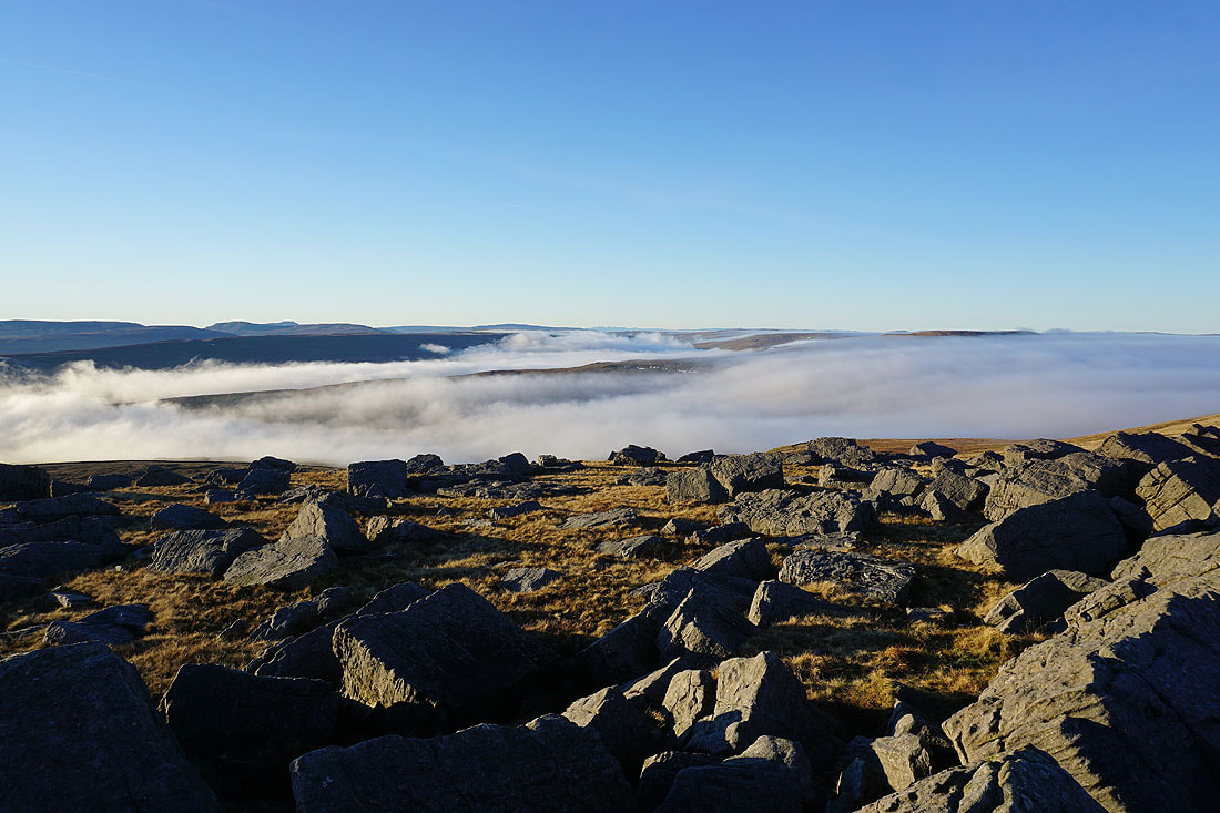
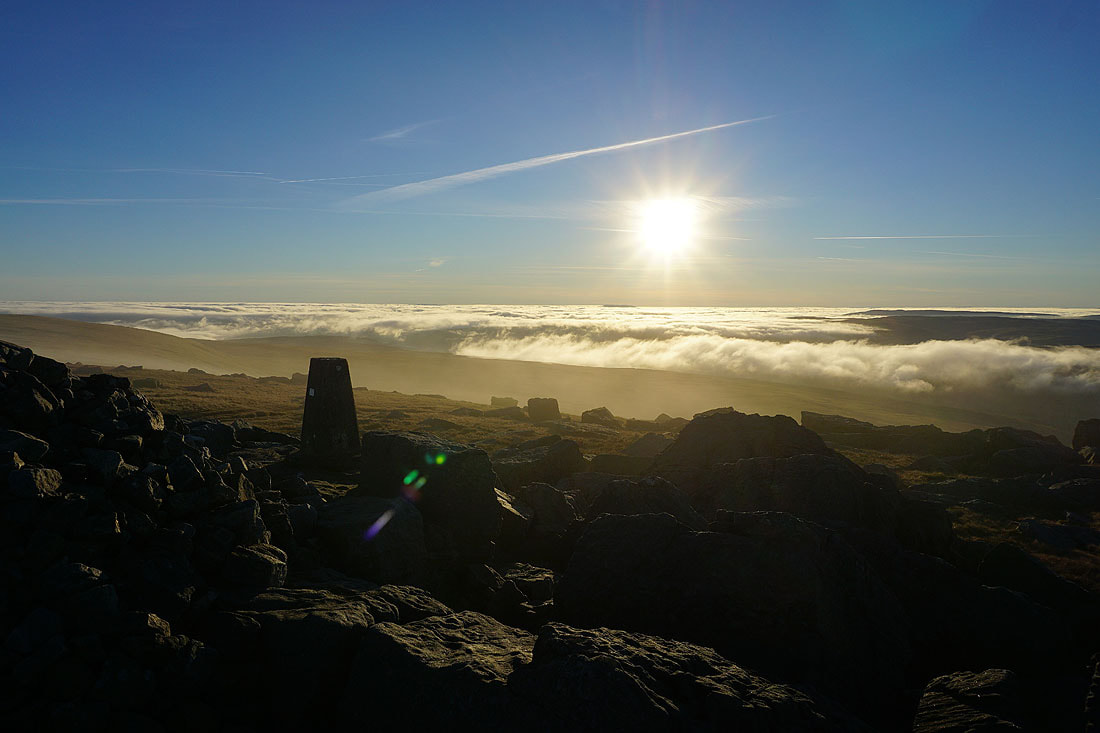
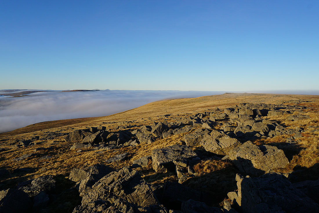
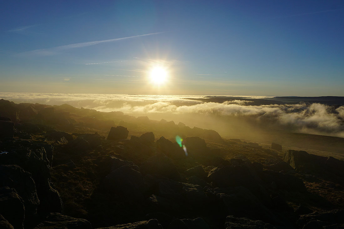
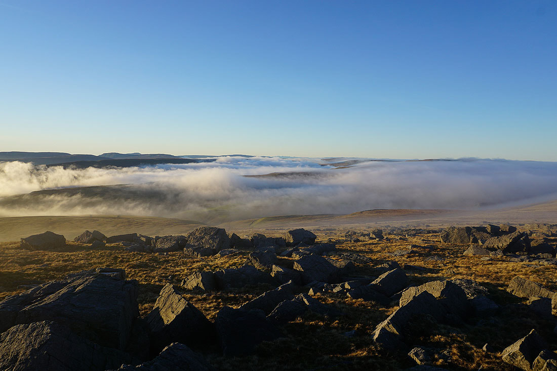
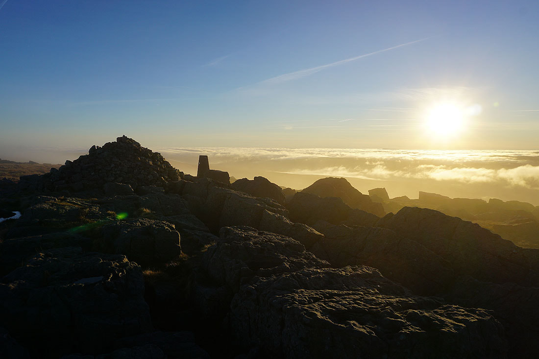
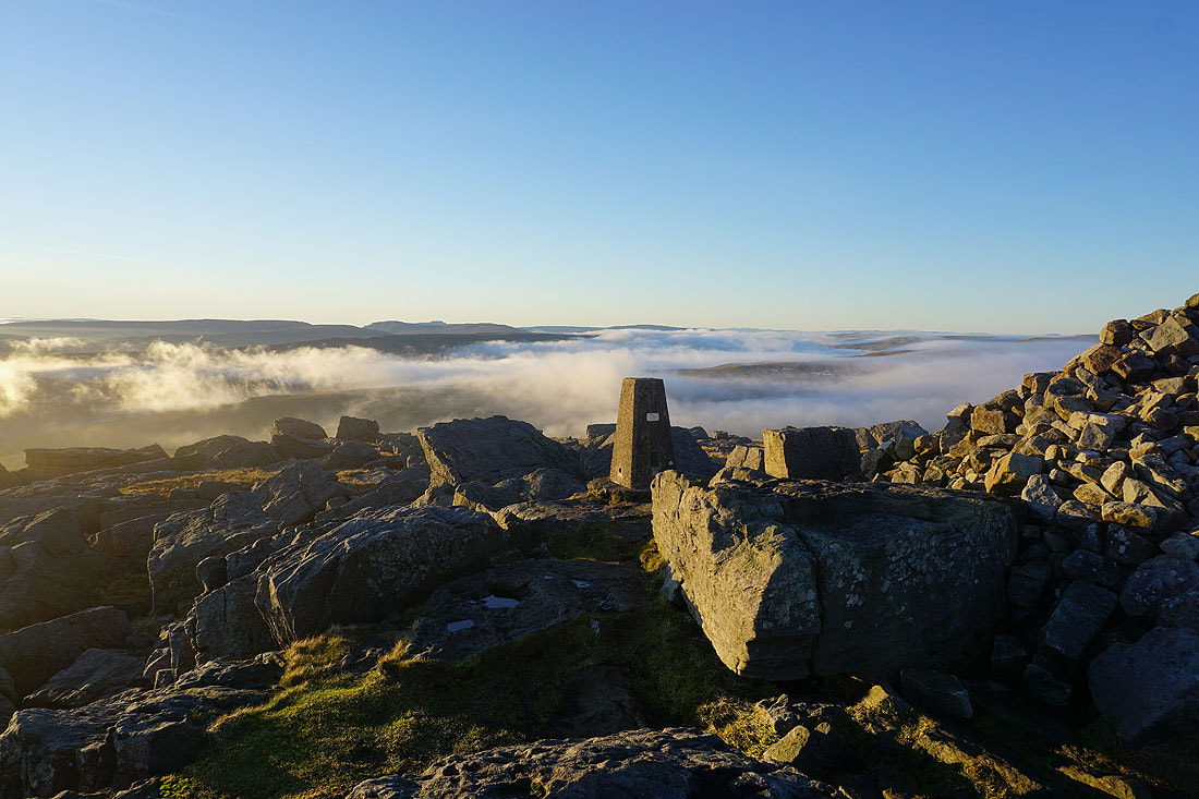
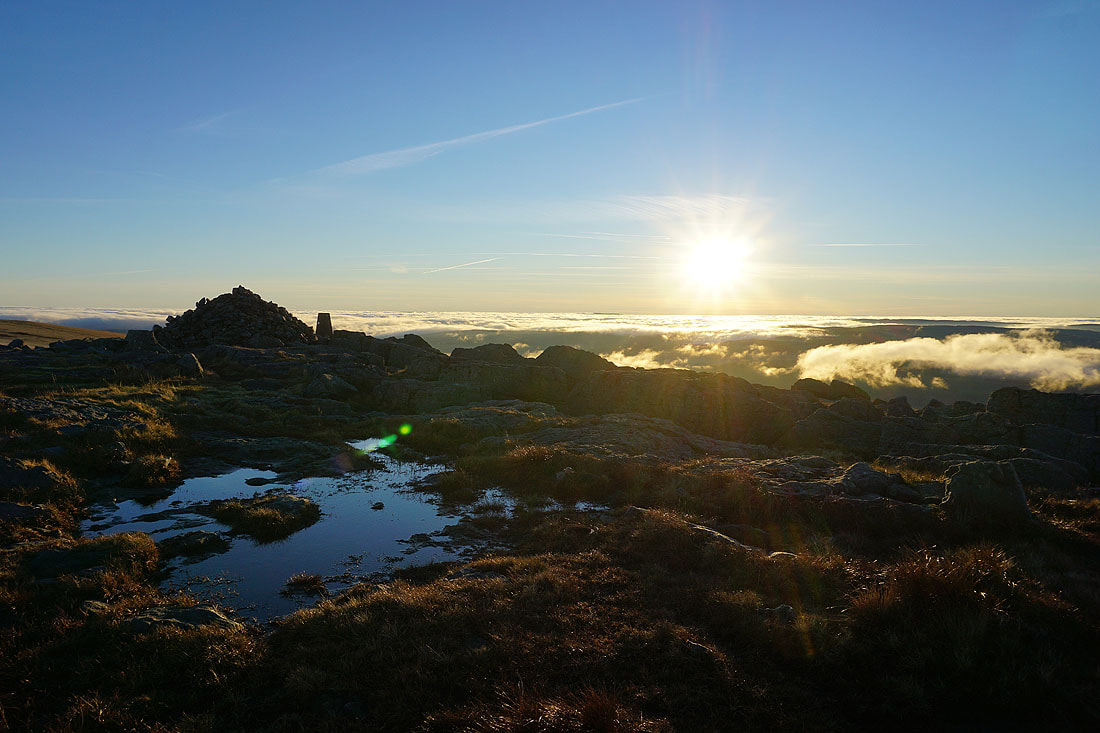
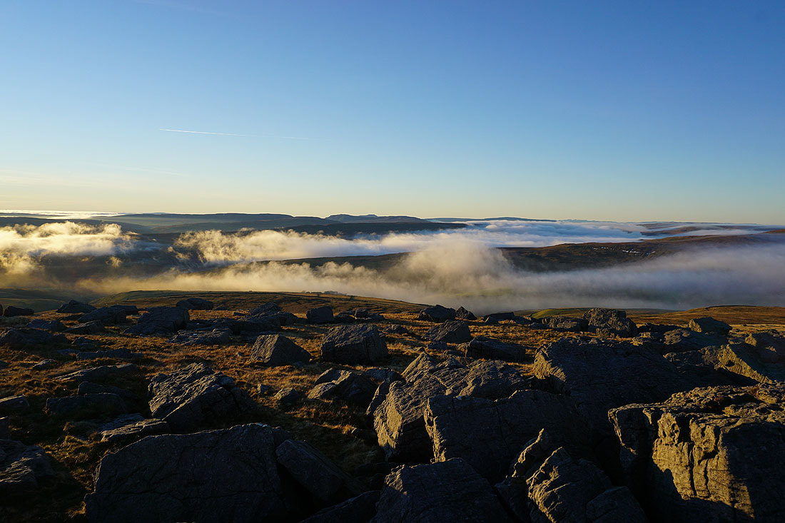
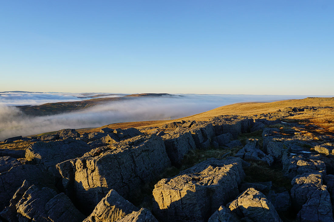
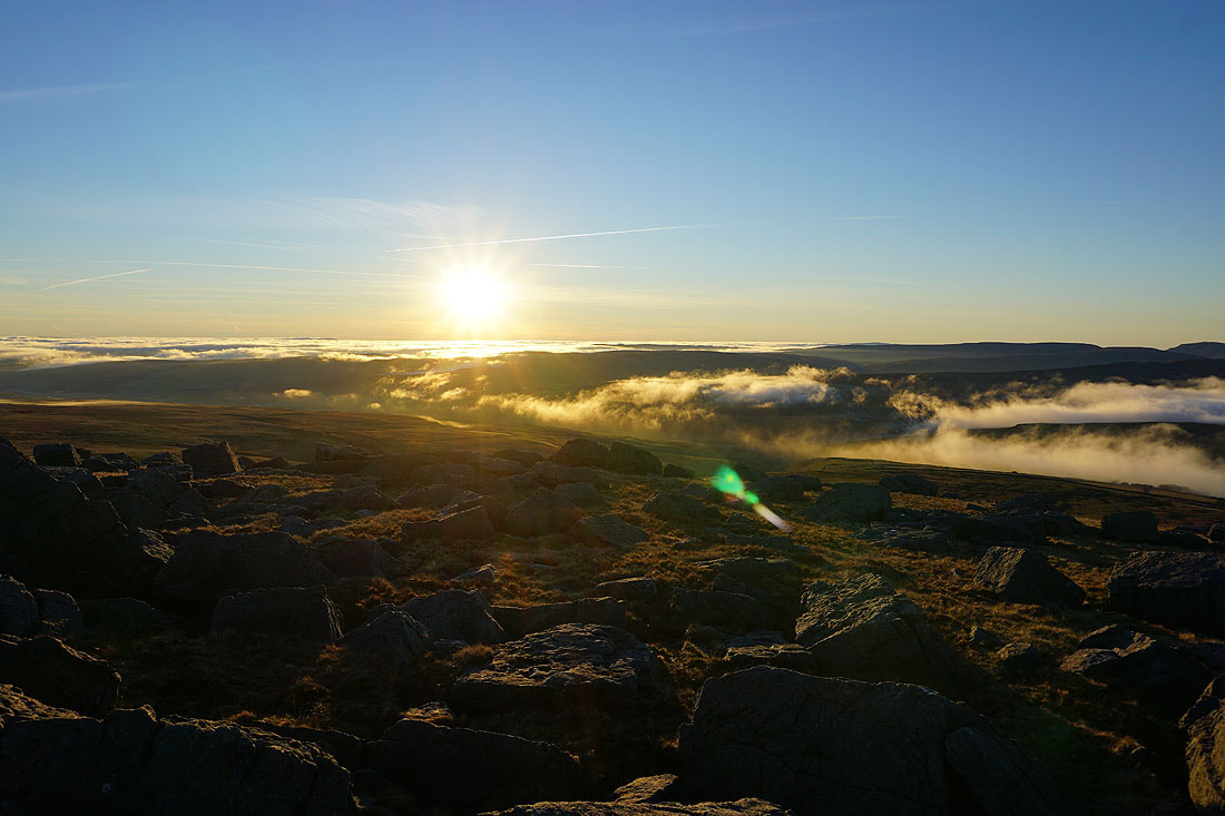
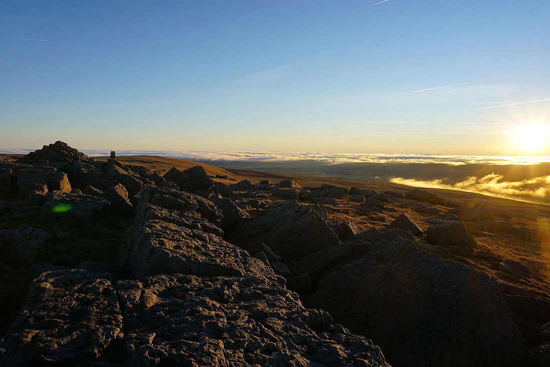
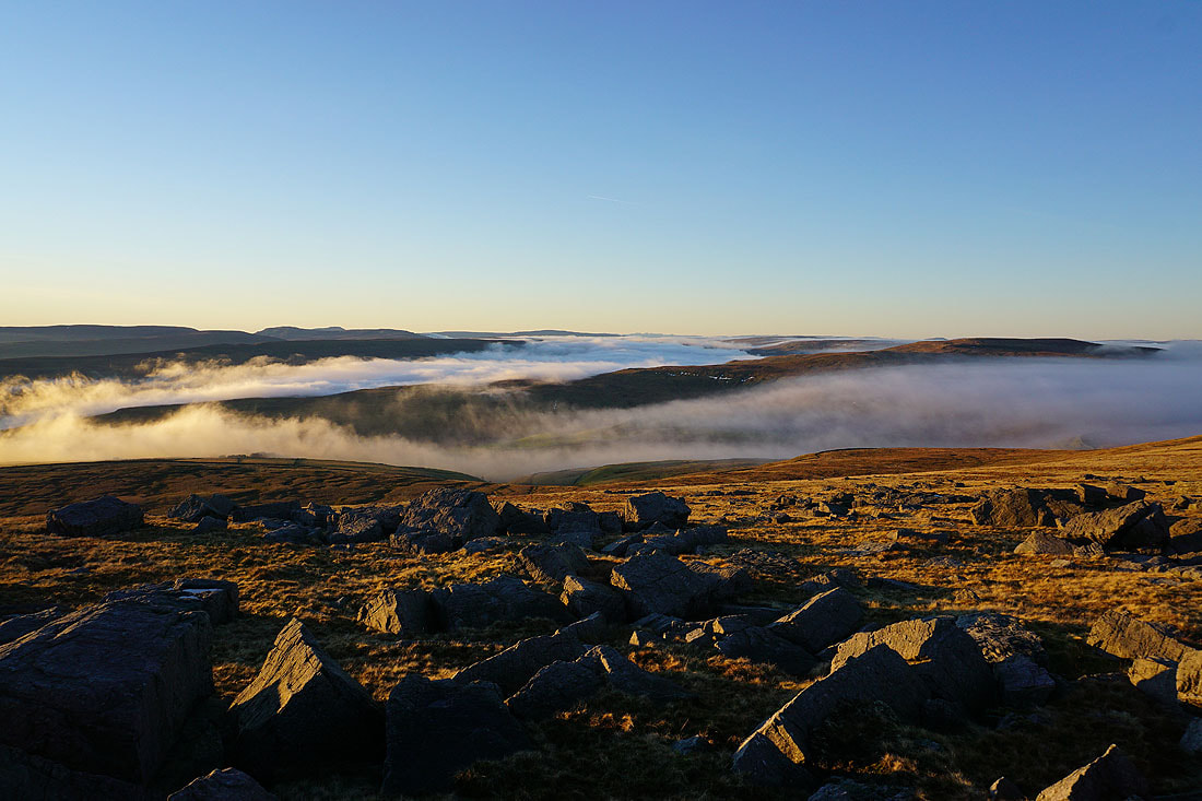
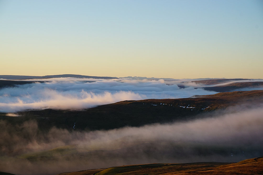
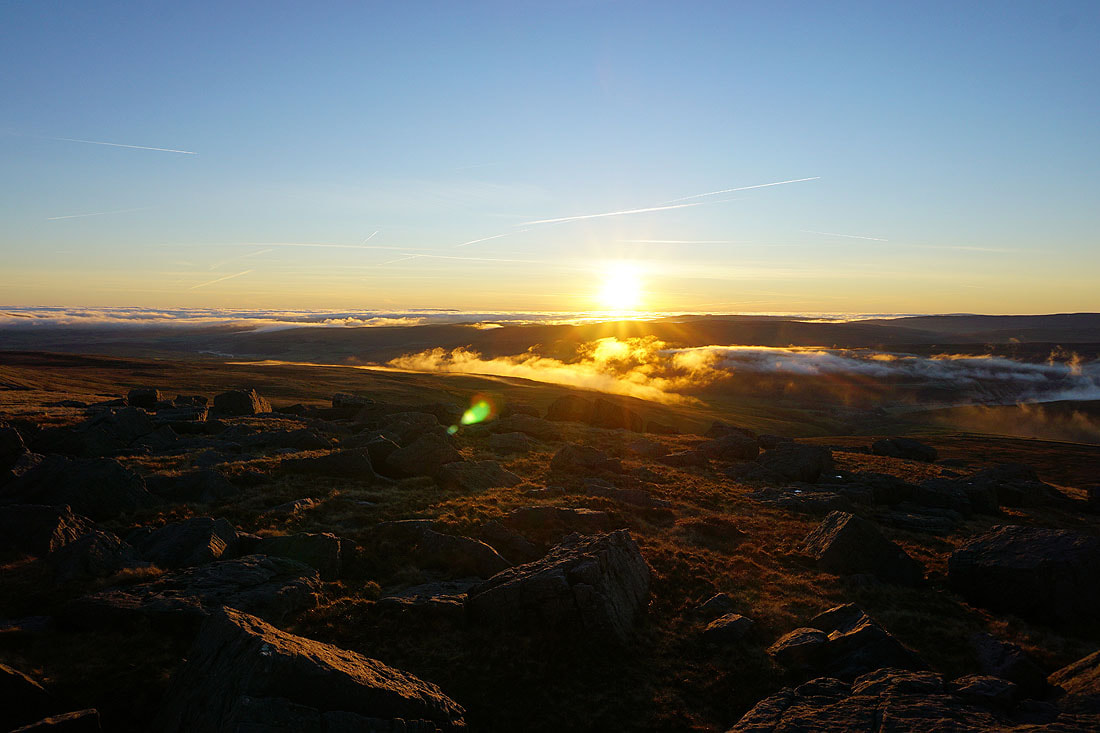
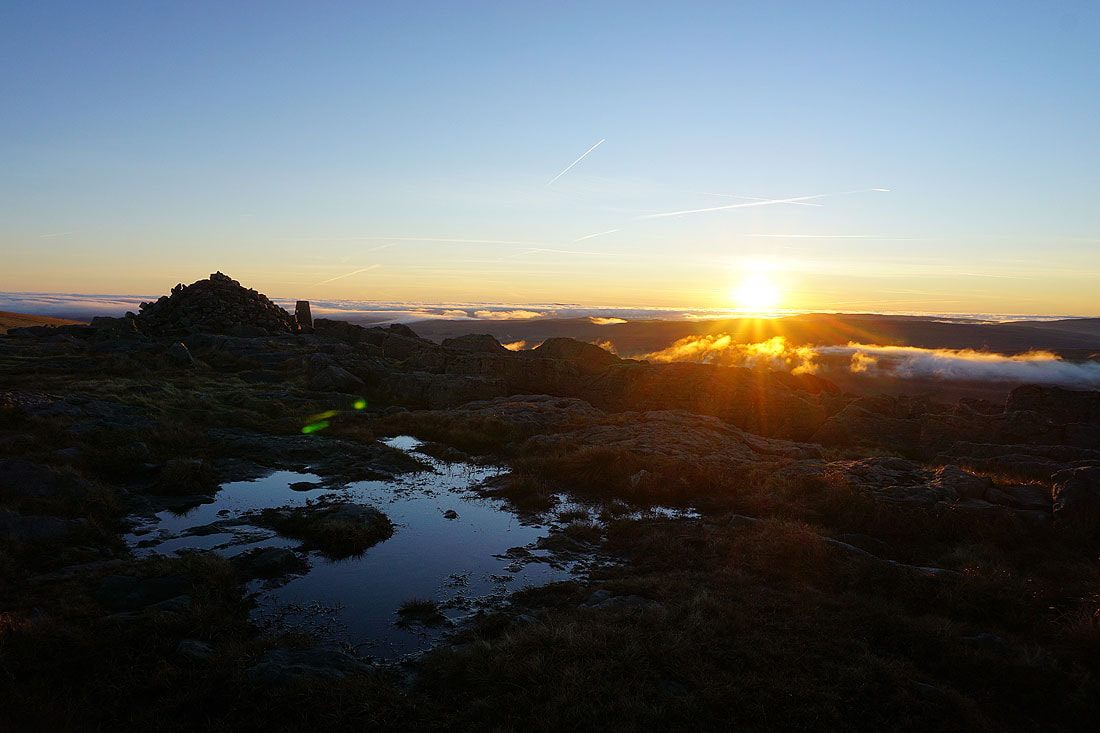
If I thought yesterday was a great day to be on the fells, then how to describe today? It was even better. I decided to stay relatively close to home and head to Kettlewell and climb Great Whernside, a fell that I've been to the top of many times. The route that I chose wasn't new, although I hadn't done this exact combination of paths before. I set off from Kettlewell with clear and sunny skies, and a hard frost on the ground. As I followed the Dales Way south towards Conistone Pie fog started to develop and fill Wharfedale, and during the climb up to the trig point at Capplestone Gate I could see that it wasn't just a local thing, but widespread and that it was moving in from the east to fill the valleys and cover the moors. I began to think that I should have done the walk the other way round, heading for the top of Great Whernside first. Fortunately the temperature inversion hung on long enough for me to take in the experience of being above the clouds on the summit of Great Whernside. A day to remember.
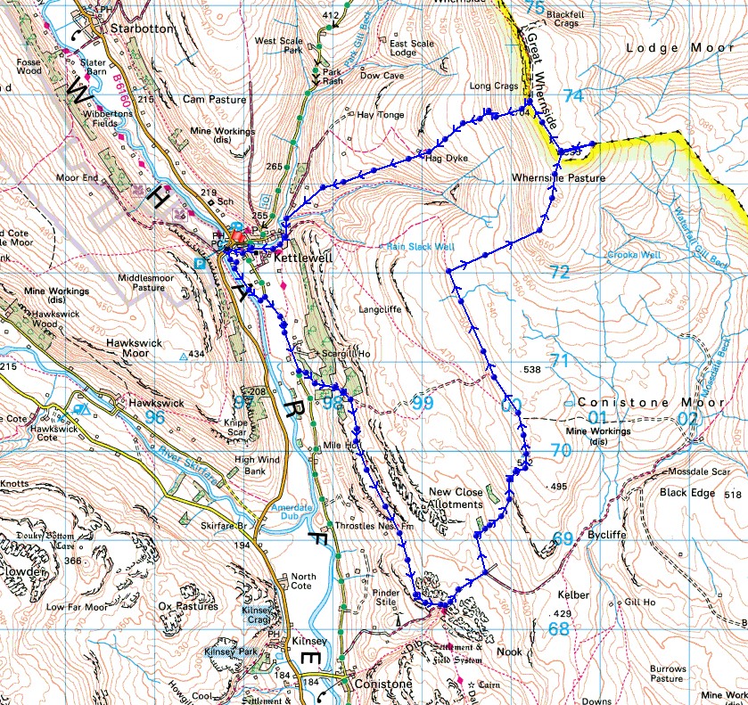
From the car park in Kettlewell I made my way down to the bridge over the Wharfe to take the path south by the river. I left this for the Kettlewell to Conistone road which was joined by the trail of the Dales Way, and I then followed the Dales Way south up the track of Highgate Leys Lane and on to the limestone outcrop of Conistone Pie. Just south of Conistone Pie I left the Dales Way for the track of Bycliffe Road which I took up onto the moors until the track turned right, where I took the footpath of Conistone Turf Road uphill to the trig point at Capplestone Gate. After a stop for lunch I followed the wall north along the hillside, across a stile in a fence, and on until I reached the hillside of Slatepit Rigg where I made my ascent up to Sweet Hill. I then followed the fence north from here to the south top of Great Whernside, and after a short detour to the top of Stone Head Crag, I continued north to reach the trig point on the summit of Great Whernside. After a lengthy stop to take in the fantastic views I made my way down to Kettlewell by the path via the Hag Dyke Scout Hostel.
Route map
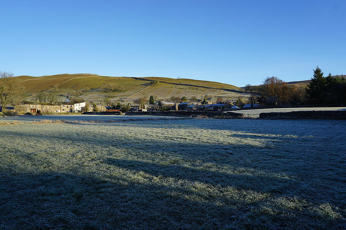
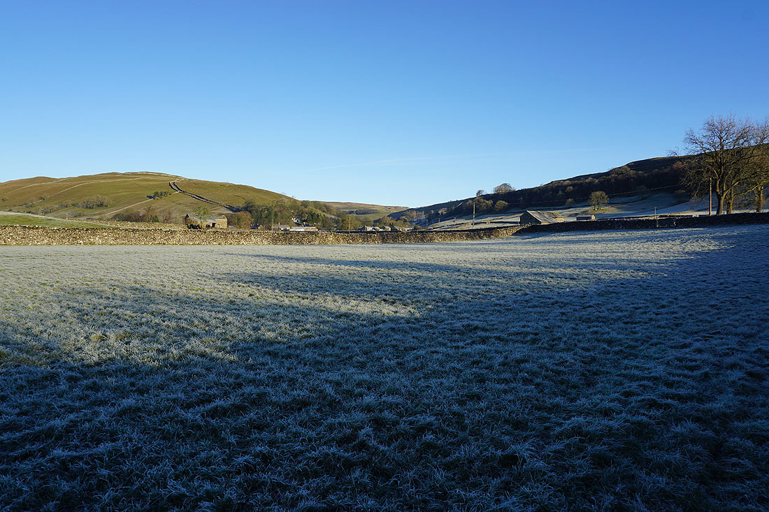
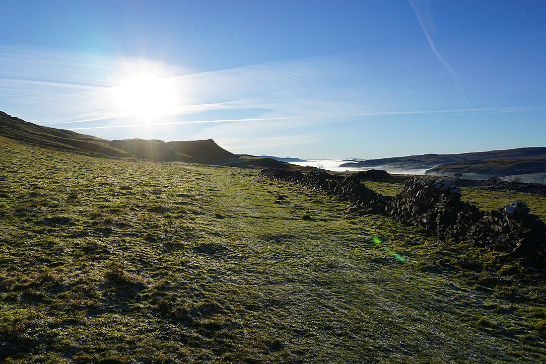
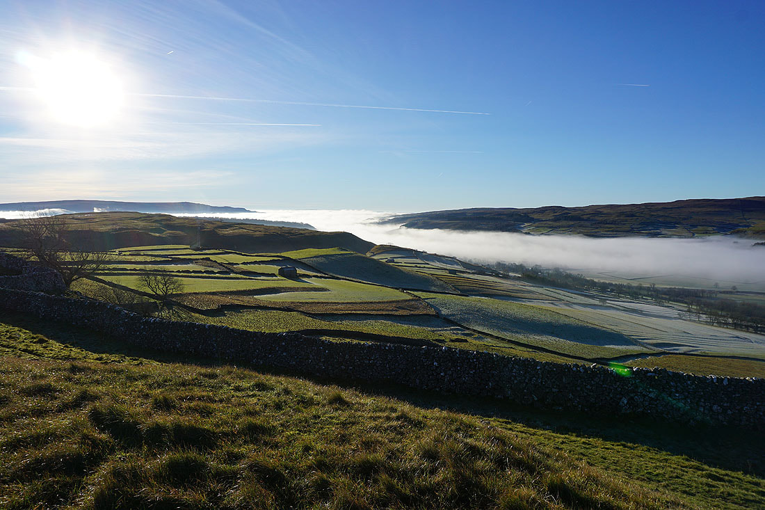
Frosty fields in Wharfedale as I leave Kettlewell behind....
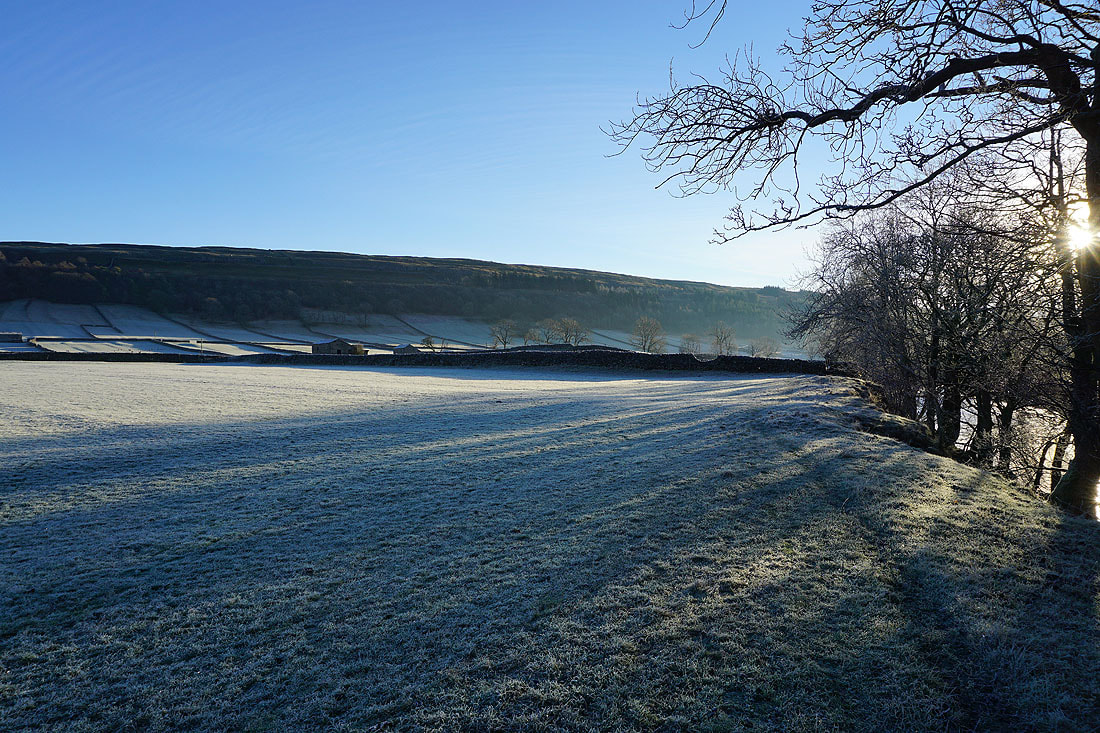
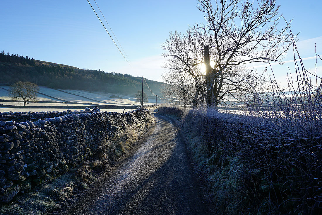
I join the Kettlewell to Conistone road and the trail of the Dales Way
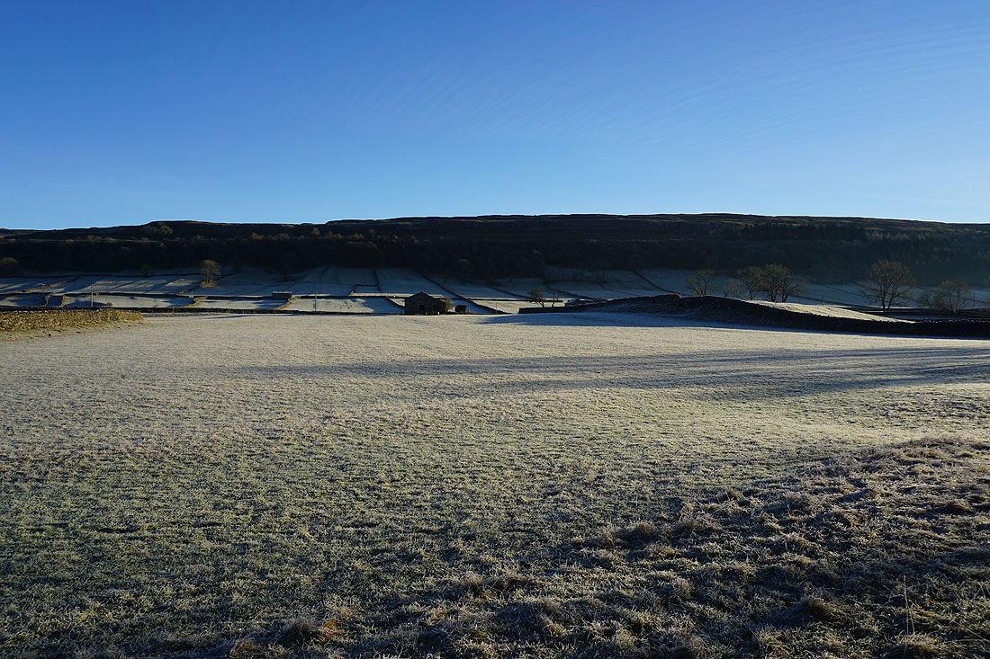
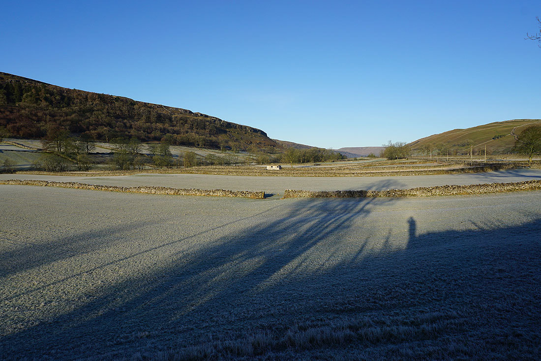
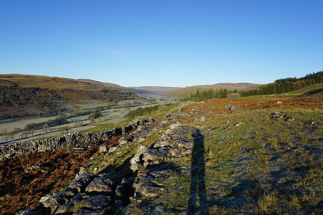
Looking back up Wharfedale
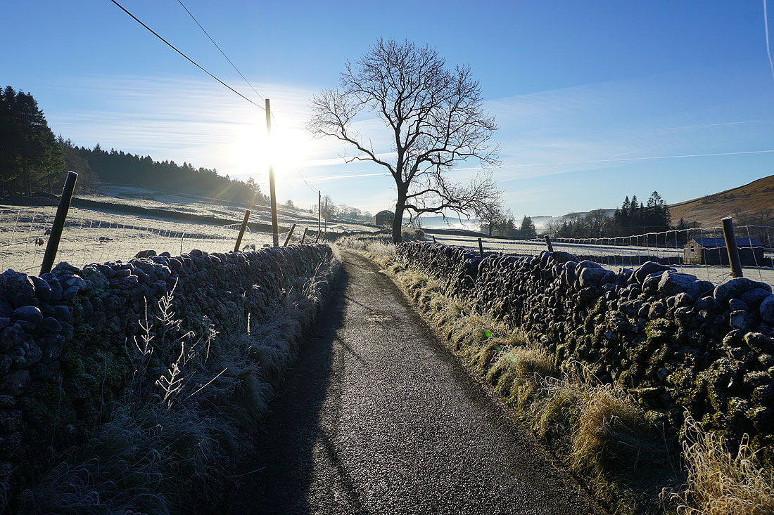
Just ahead the Dales Way leaves the road and takes to the hillside on the left
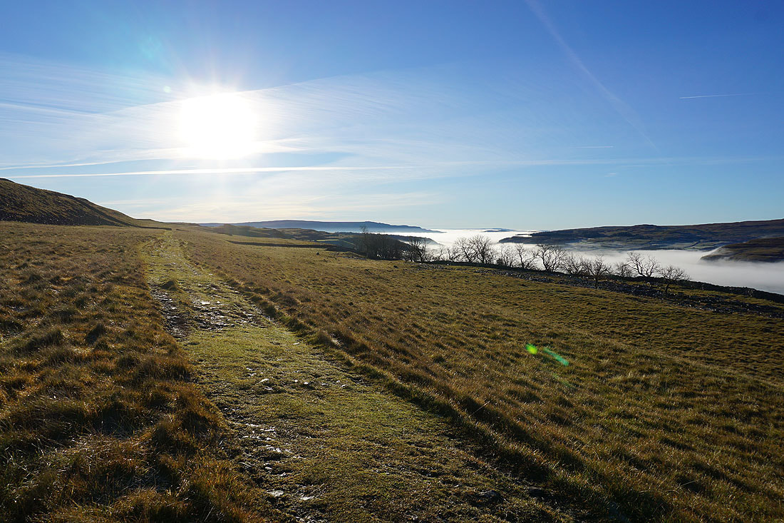
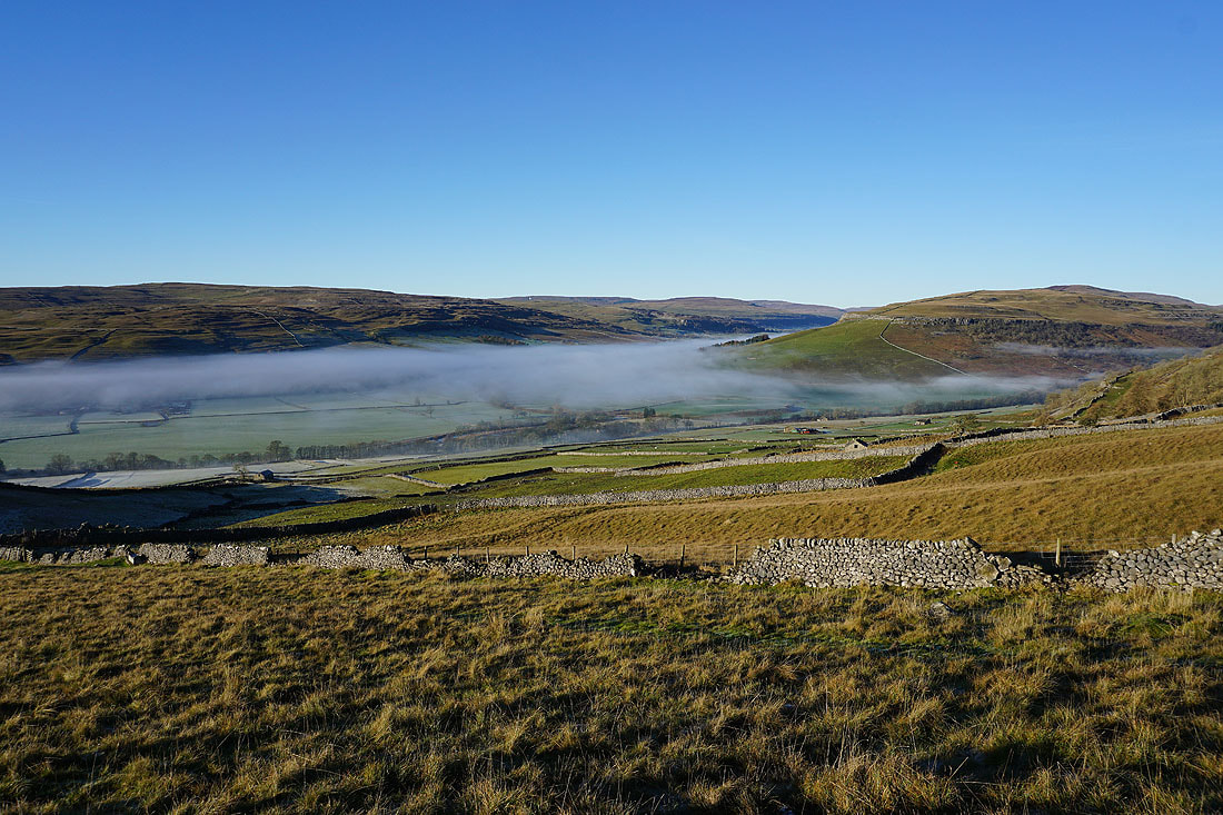
Following the Dales Way south to Conistone Pie. There are great views of Wharfedale, and of the fog that's increasingly filling it.....
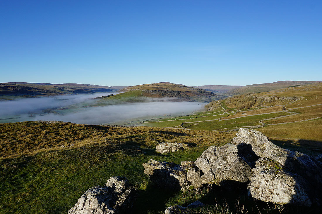
At the limestone knoll of Conistone Pie. Littondale joins Wharfedale from the left.
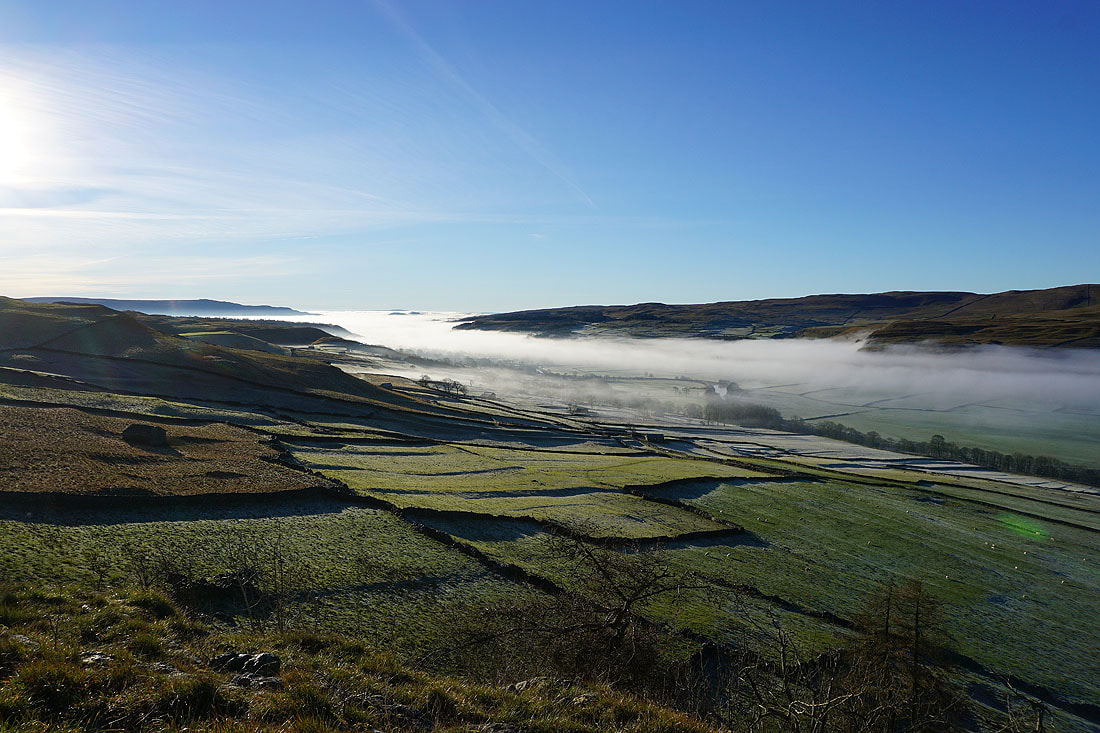
A fog filled Wharfedale
Looking back to Conistone Pie as I resume my journey south on the Dales Way
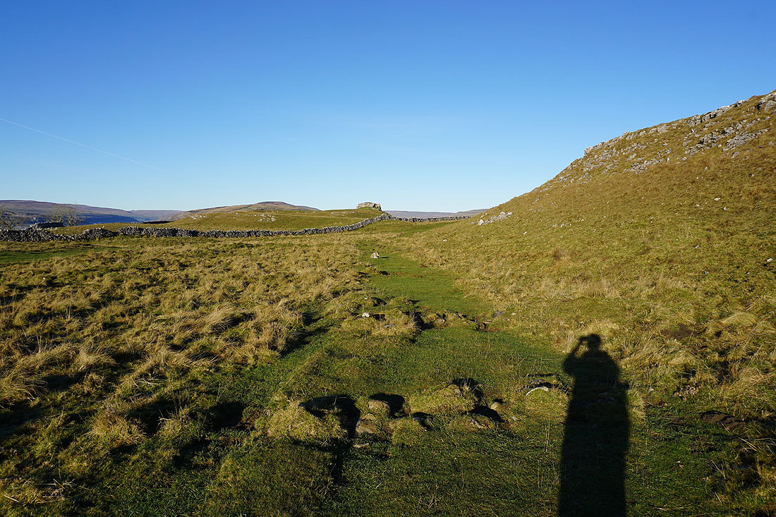
I wasn't on the Dales Way for long though as I take the track of Bycliffe Road up onto the moors
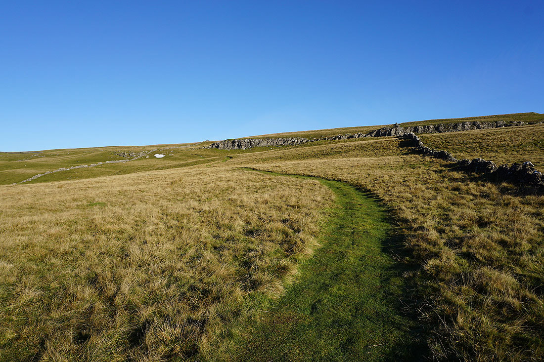
From Bycliffe Road I then take the Conistone Turf Road footpath up to the trig point at Capplestone Gate
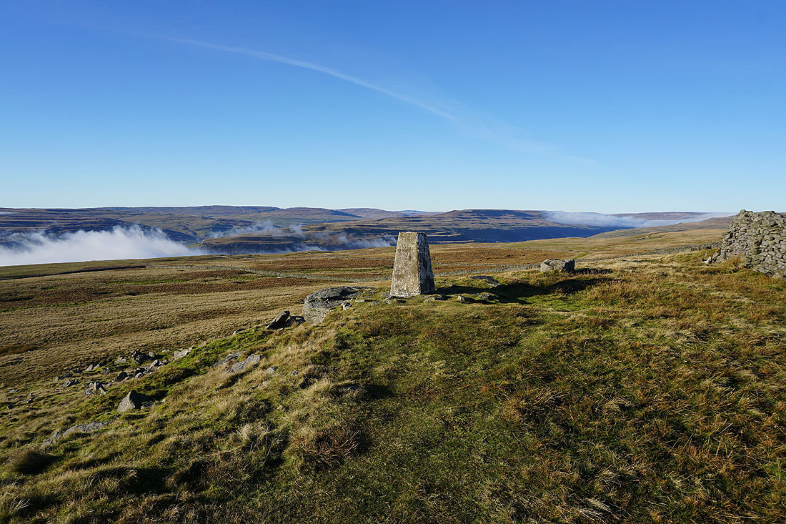
At the trig point at Capplestone Gate, and what a fantastic view. The fog and low cloud is making inroads up the valleys and hillsides. Barden Moor on the left and Pendle Hill in the distance on the right are now like islands in a sea of cloud.
Looking across Wharfedale to Malham Moor and Kilnsey Moor..
..and up Wharfedale to Old Cote Moor Top, Yockenthwaite Moor and Buckden Pike
Finally, to the northwest across the moors around Littondale and Wharfedale to Fountains Fell, Darnbrook Fell, Plover Hill and Old Cote Moor Top
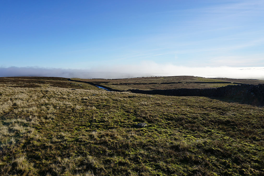
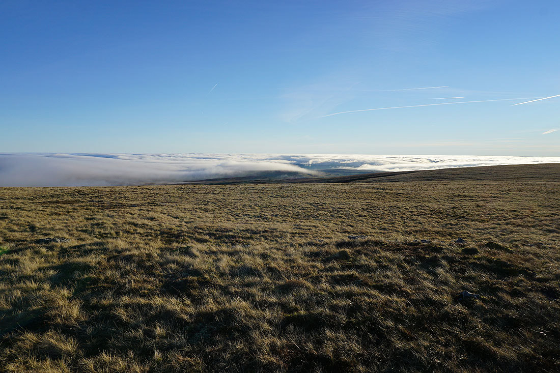
Low cloud is flowing across Conistone Moor
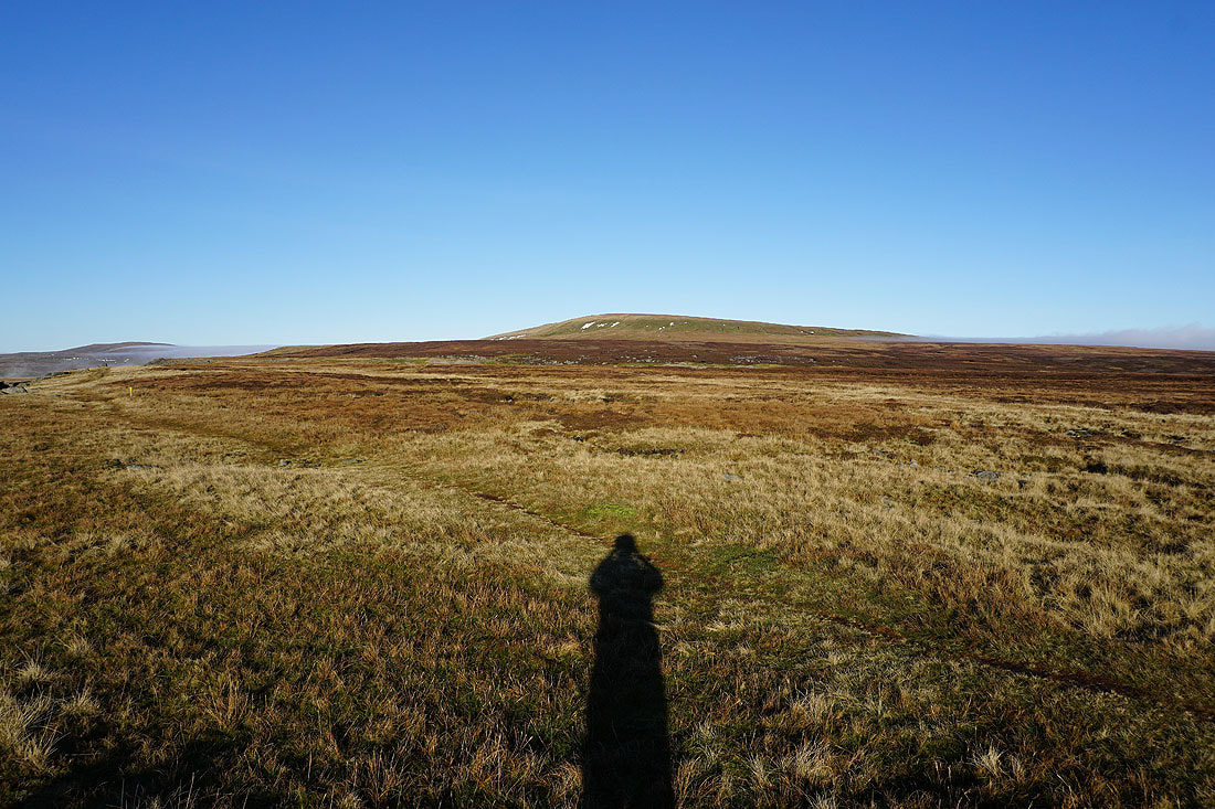
The southern end of Great Whernside rises above it
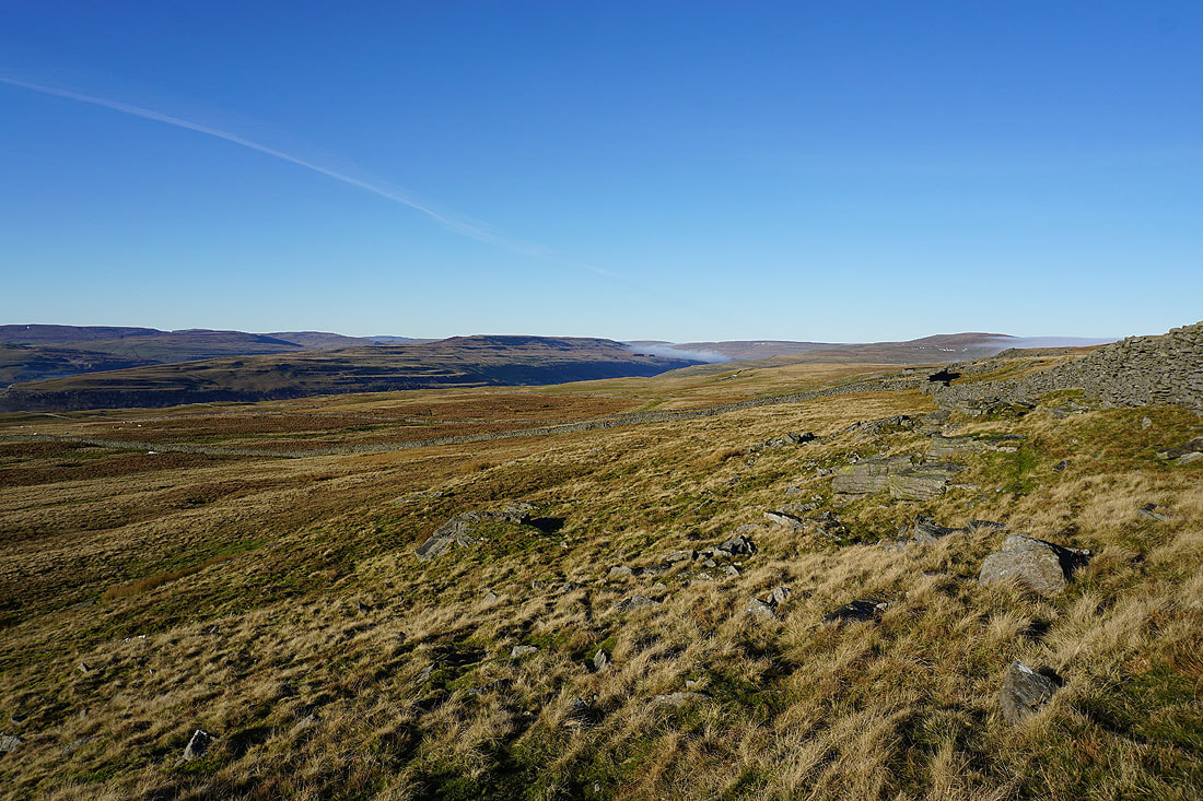
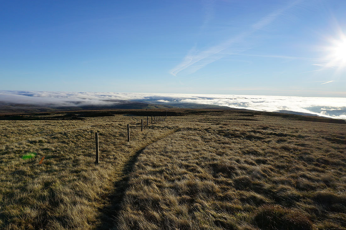
From the trig point I make my way north along the edge of the moor. It's clear that the low cloud is getting higher up the hillsides and flowing through the gaps in the hills. I just hope that it doesn't make it to the top of Great Whernside before I do.
Looking south to Barden Moor and it's gradually disappearing from view..
Looking across Wharfedale to Fountains Fell, Darnbrook Fell, Middlesmoor Pasture and Old Cote Moor Top
Only the very top of Barden Moor is now above the cloud
Buckden Pike ahead of me. This is as far as I'm going along the edge of the moor. Time to head uphill across Whernside Pasture to the south top of Great Whernside.
Views across Wharfedale and..
..to Buckden Pike as I make my way up Whernside Pasture
I finally reach the fence that heads up to the south top. Looking south and a sea of cloud has covered the moorland around Wharfedale below Grassington.
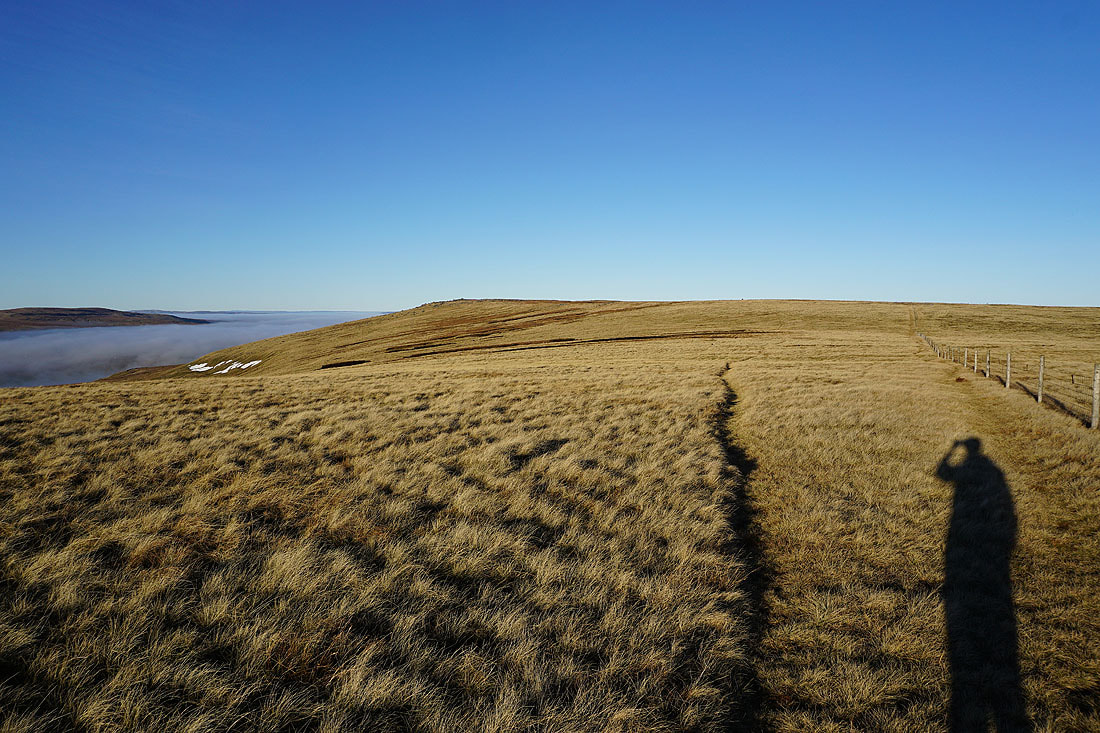
Heading for the south top of Great Whernside
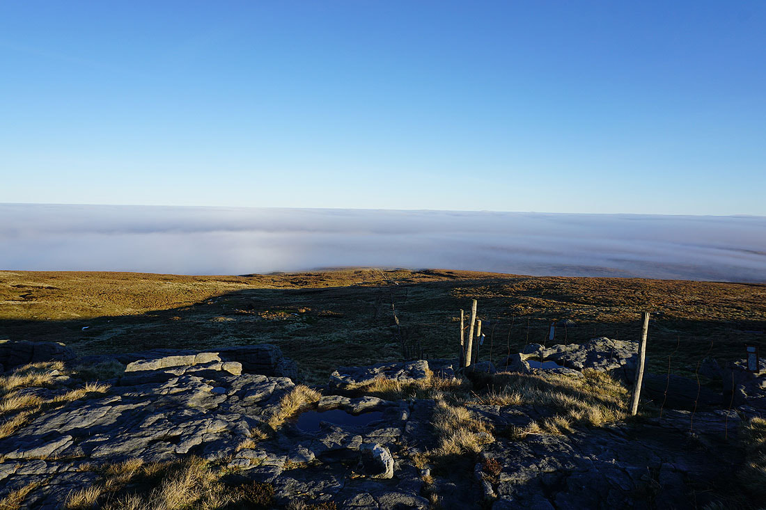
At Stone Head Crag. To the east the moors around Nidderdale are completely hidden.
A sea of cloud covers the moors between Nidderdale and Wharfedale
Back on the south top of Great Whernside. That island in the clouds in the distance is Pendle Hill.
I leave the south top and head for the trig point. The fells to the west are still free of cloud, I should get some great views..
The top of Pendle Hill is still above the cloud
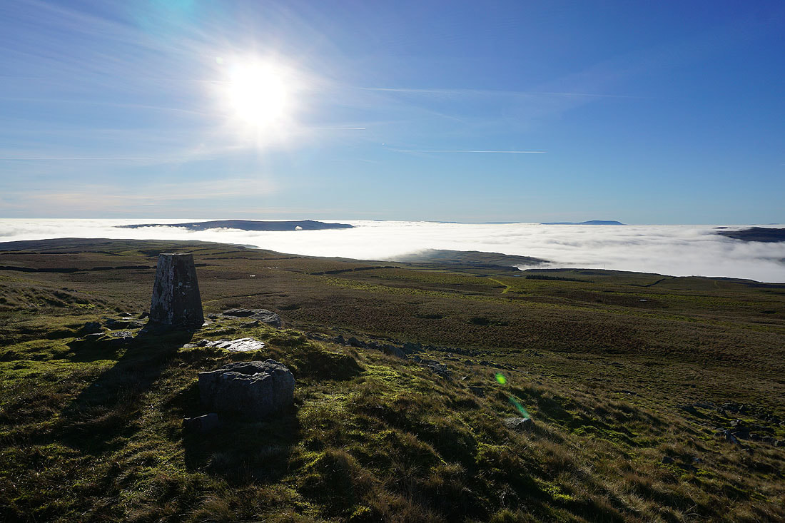
As I reach the trig point I can see just how much of Wharfedale is filling with cloud..
Views from the summit of Great Whernside. Looking southwest to Parson's Pulpit and High Cote Moor on the other side of Wharfedale, with Fountains Fell, Darnbrook Fell and Penyghent in the distance on the right.
In the distance, the top of Pendle Hill is still above the cloud
Penyghent, Ingleborough, Plover Hill and Whernside in the distance to the west
It turns a bit misty as cloud briefly flows across the summit. There's about an hour to go to sunset, I'm going to stay up here for as long as I can.
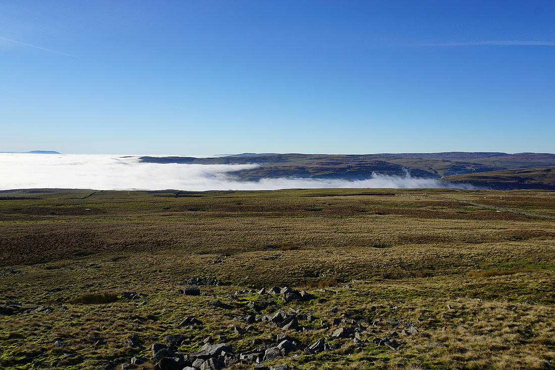
Looking north, and on the left the top of Buckden Pike is just above the cloud
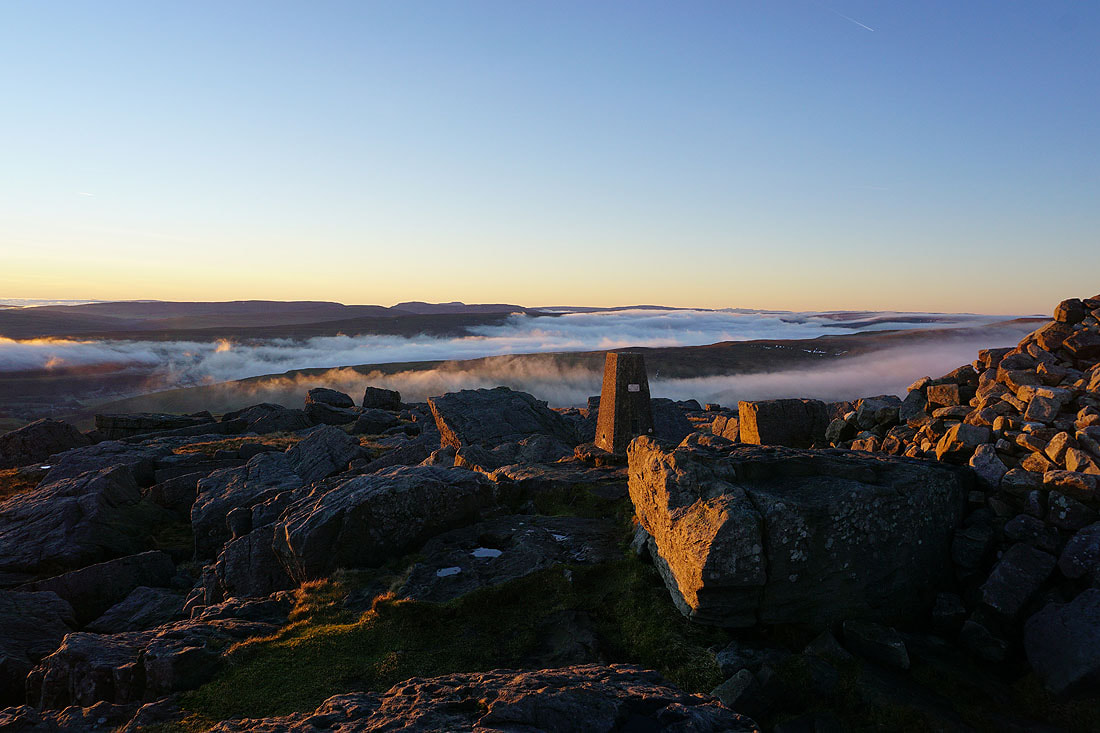
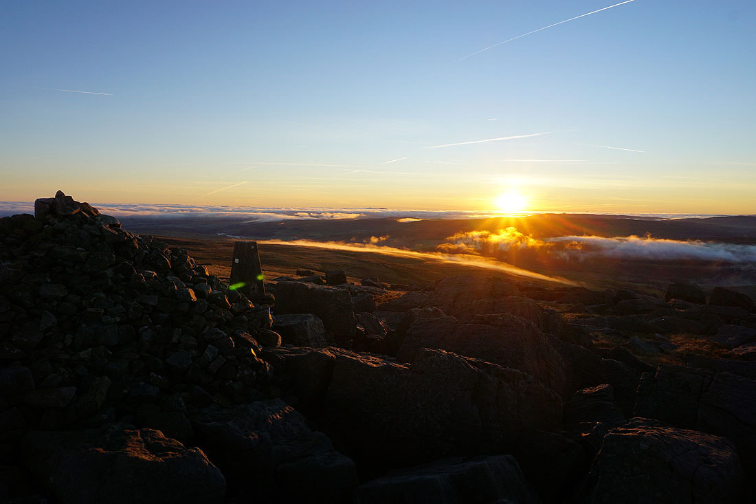
It's a privilege to be up here and see this. For the next forty minutes I watch the cloud flow through the gaps in the hills and fill the valleys, and fortunately the top of Great Whernside stays above it..........
Zooming in to the right of Whernside and I can make out Scafell, Scafell Pike and Great Gable in the Lake District
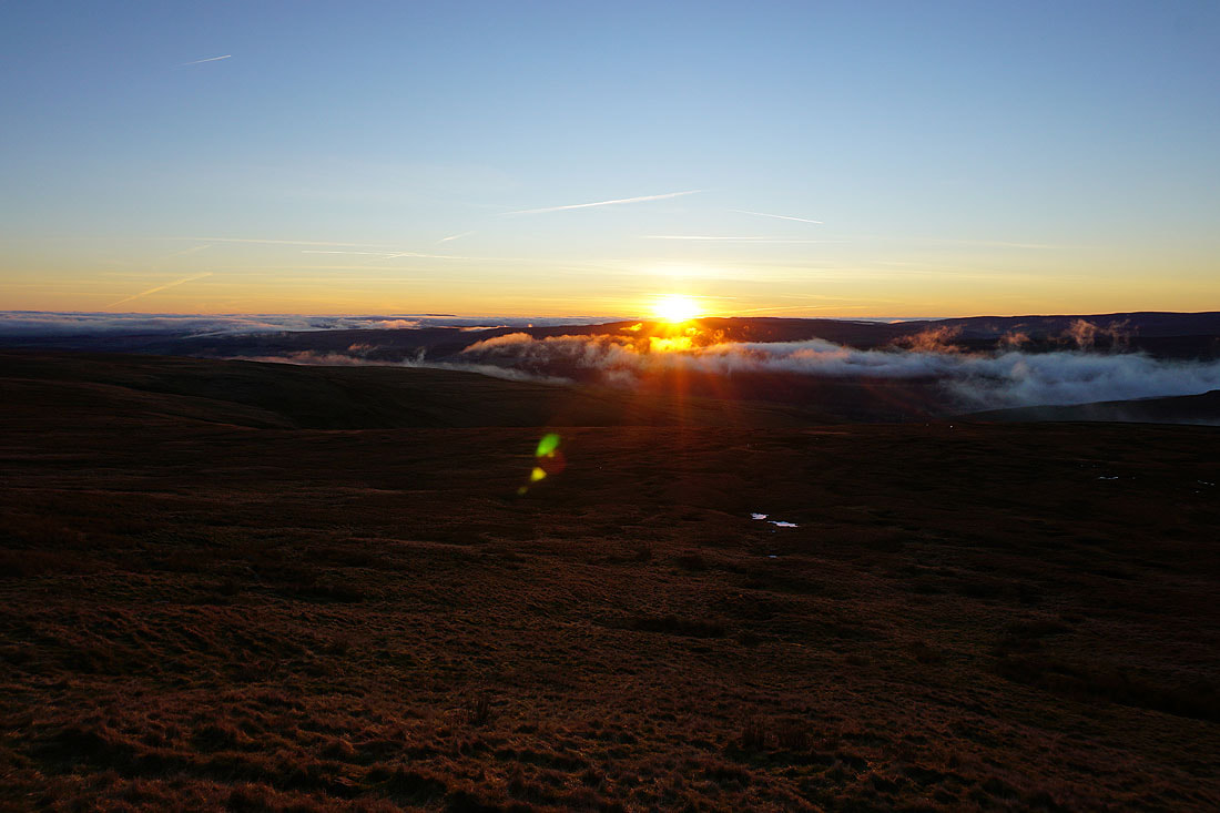
A few more shots as the sun finally starts to set....
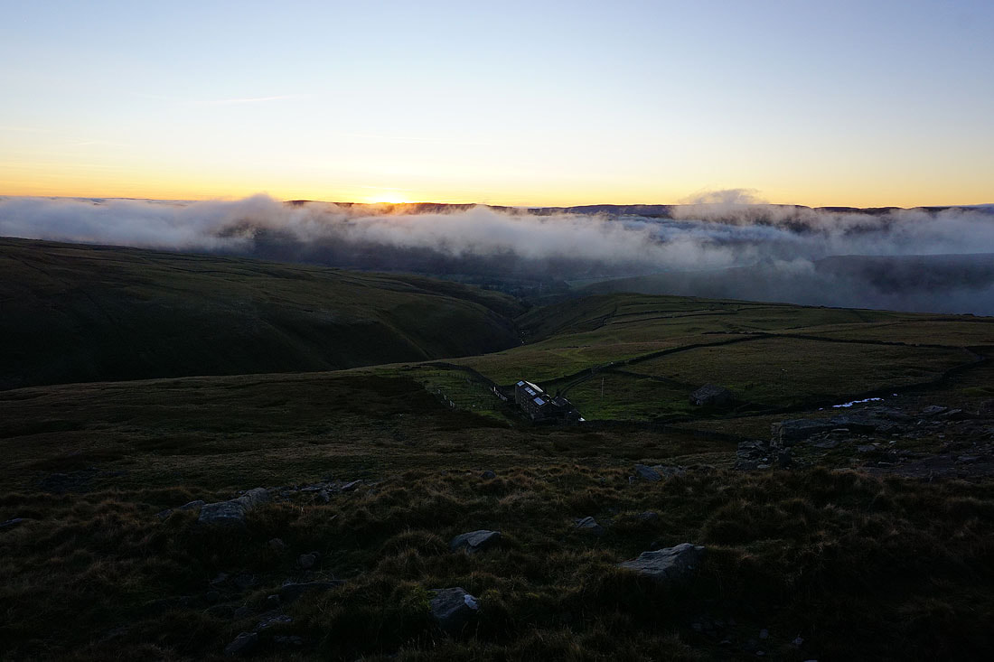
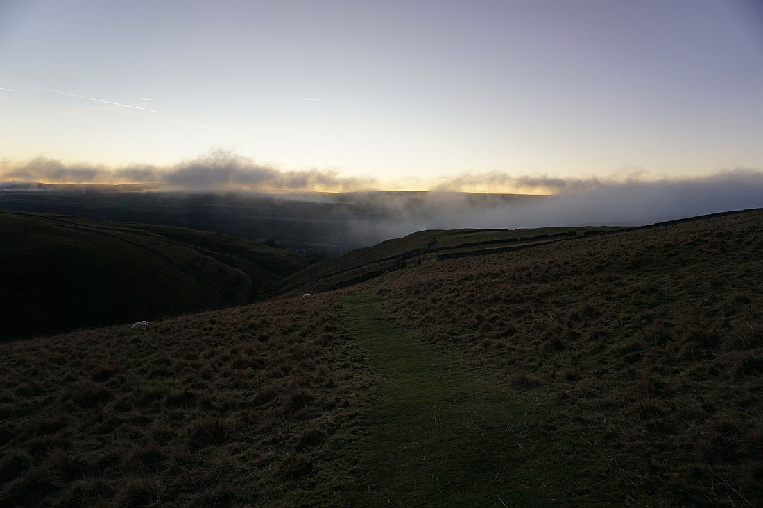
The sun sets as I descend the path from the summit to the Hag Dyke Hostel
The Hag Dyke Hostel below
Heading down to Kettlewell and I've certainly made the most of the available daylight
