19th February 2012 - A Fairfield Horseshoe
Walk Details
Distance walked: 10.4 miles
Total ascent: 3452 ft
OS map used: OL5 - The English Lakes, North-eastern area & OL7 - The English Lakes, South-eastern area
Time taken: 7 hrs
Route description: Ambleside-Rydal Park-Rydal Hall-Nab Scar-Heron Pike-Great Rigg-Fairfield-Hart Crag-Dove Crag-High Pike-Low Pike-Low Sweden Bridge-Nook Lane-Ambleside
The Fairfield Horseshoe from Ambleside taking in Nab Scar, Heron Pike, Great Rigg, Fairfield, Hart Crag, Dove Crag, High Pike and Low Pike. I've done this walk several times, both clockwise and anti-clockwise and today I decided on the former so that the steepest climb of the day was at the start.
It was a fine winters day for this walk but with a bitterly cold wind higher up, though on the climb up Nab Scar we were taking layers off as there was no wind only to put them back on again at the top. There was some ice about particularly on Fairfield, Hart Crag and Dove Crag but nothing that couldn't be safely avoided. My youngest brother Andy and one of my parents' dogs Milo joined me for the walk.
Route map
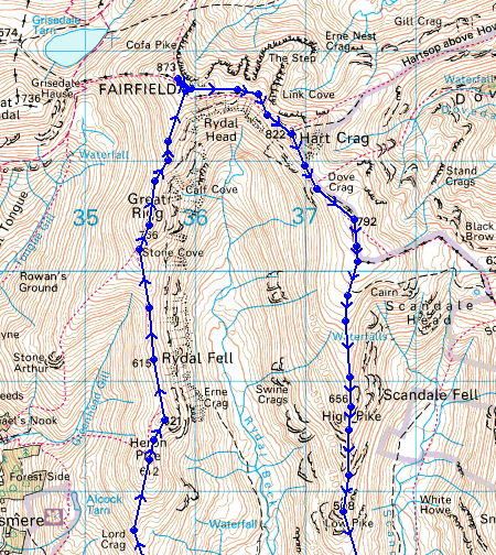
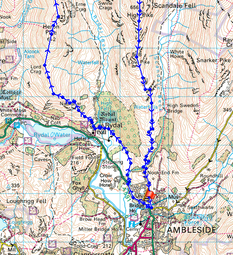
© Crown copyright. All rights reserved. License number PU 100034184.
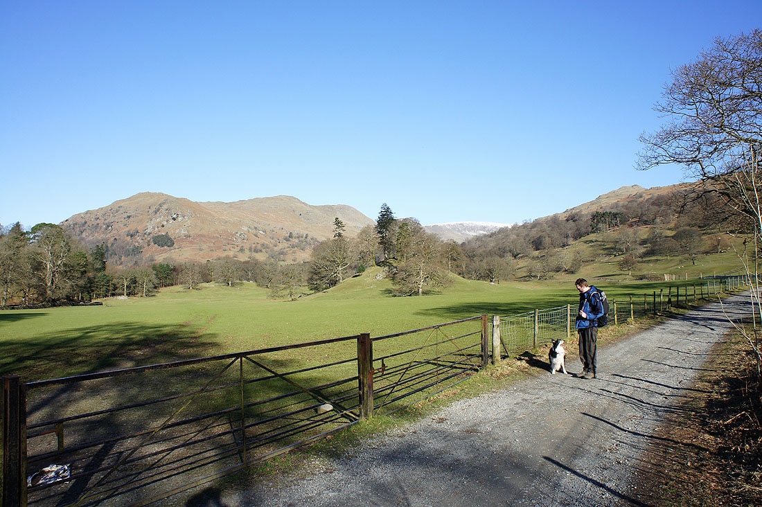
Heading through Rydal Park
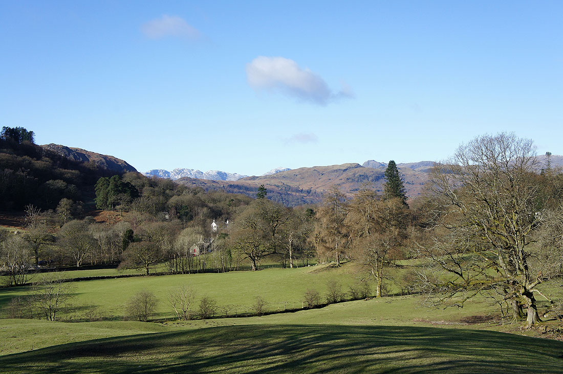
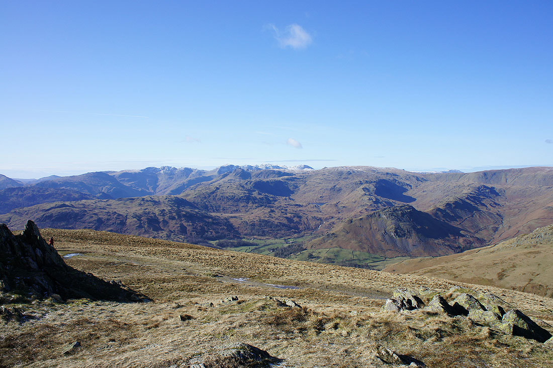
A glimpse of the Crinkle Crags over the shoulder of Loughrigg Fell
"The Grotto" as we pass Rydal Hall
On Nab Scar and the view over Grasmere to the Coniston fells, Crinkle Crags and Bowfell
and a little round to the right, the Crinkle Crags, Bowfell, the Langdale Pikes and High Raise
The route ahead from Heron Pike
Posing for the camera
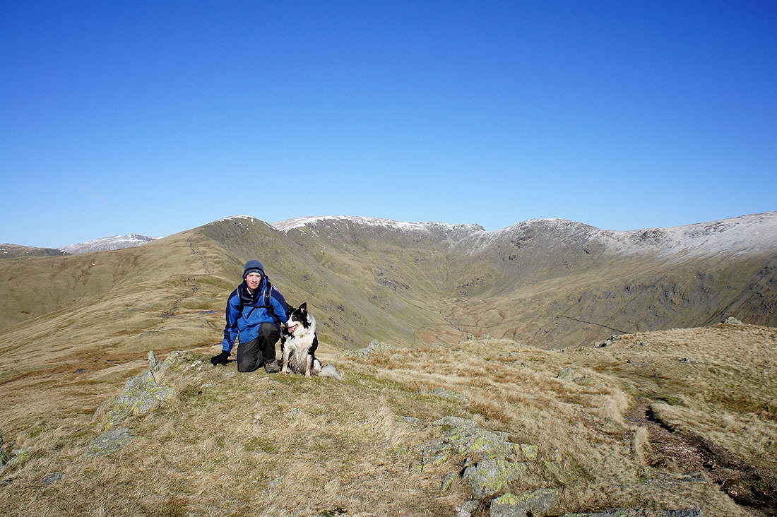
Andy and Milo on Erne Crag
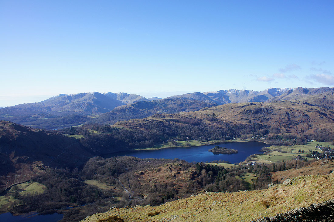
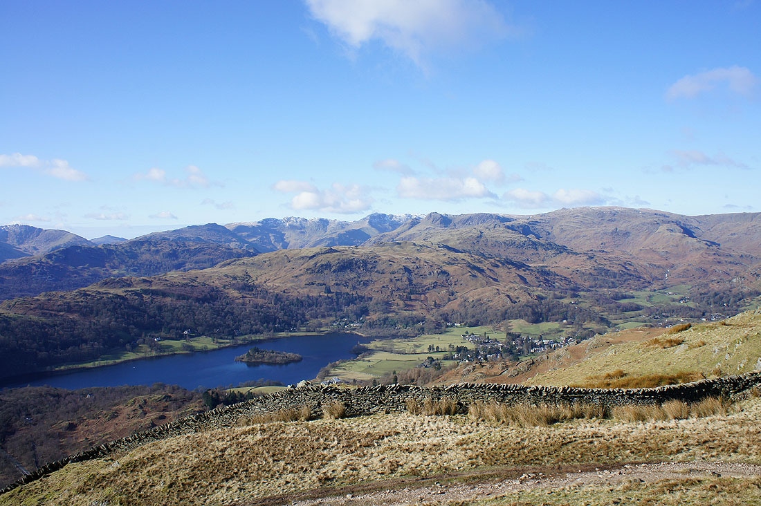
The view towards the Crinkle Crags, Bowfell and the Scafells from Erne Crag. The rocky fell down on the right is Helm Crag.
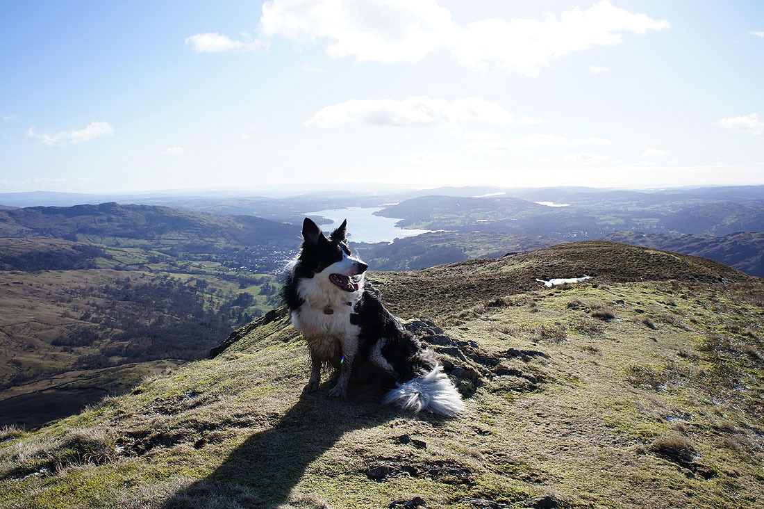
Looking back to Windermere and Heron Pike
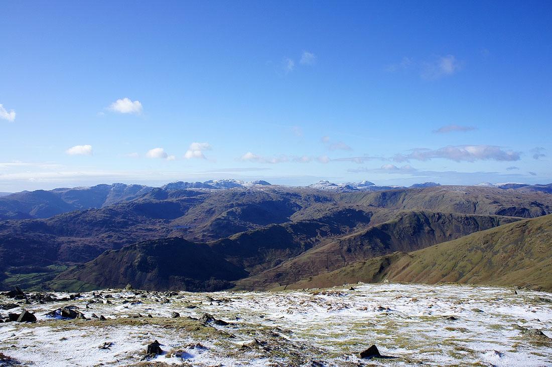
On the next summit of the day, Great Rigg and the view is even better. Along the skyline are the Crinkle Crags, Bowfell, the Scafells, Great Gable, Pillar and the High Stile range.
A little to the left and the Coniston fells are in the picture
The northwestern fells in the distance on the left with Seat Sandal and Helvellyn in the foreground
Windermere and back down the ridge from Great Rigg
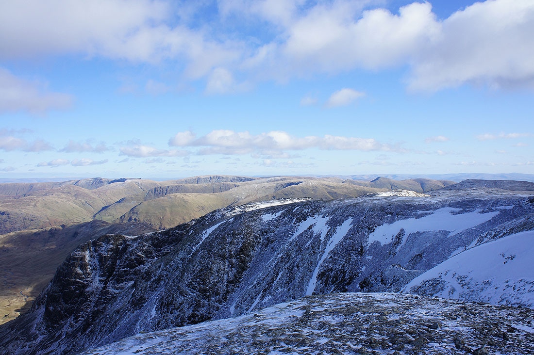
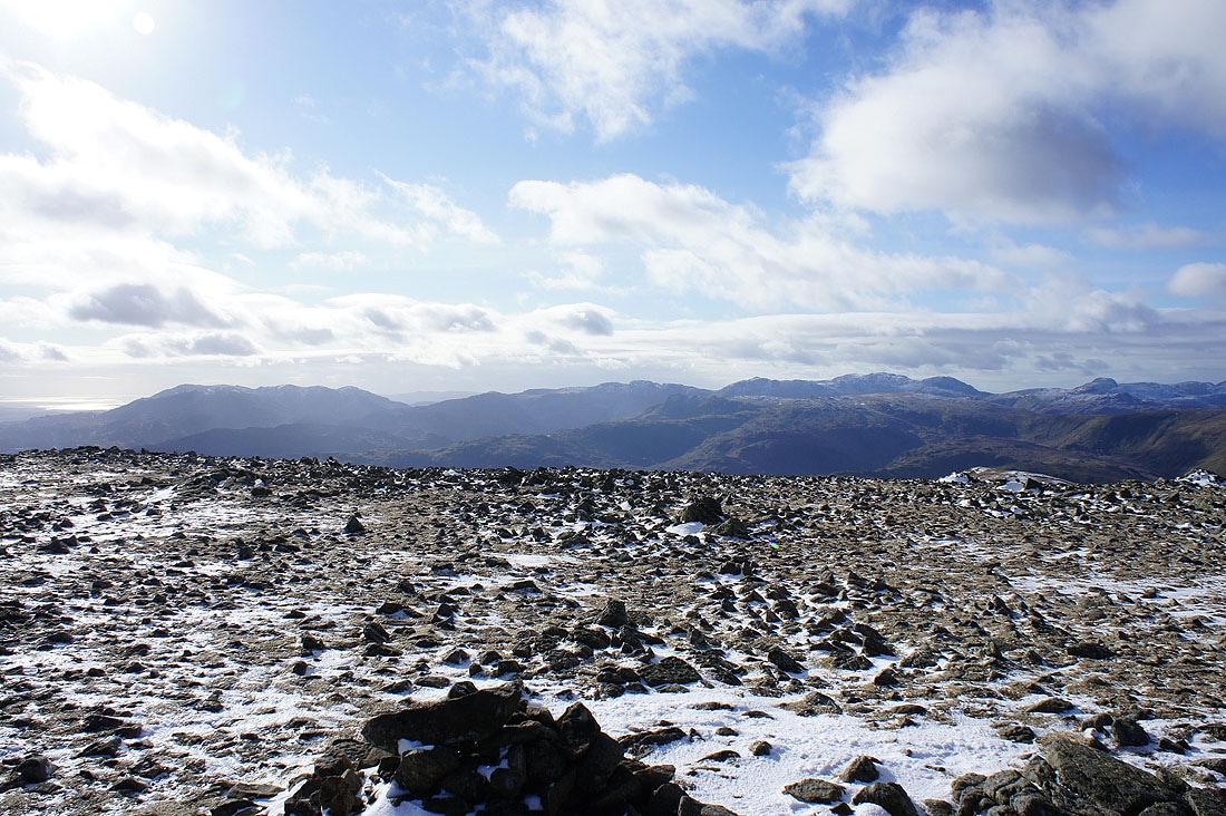
On the high point of the walk, Fairfield and the view across to High Street and the far eastern fells
Dollywagon Pike, Nethermost Pike and Helvellyn
The rocky knuckle of Cofa Pike and St. Sunday Crag
Bowfell, the Scafells, Great Gable, Pillar and the High Stile range on the skyline
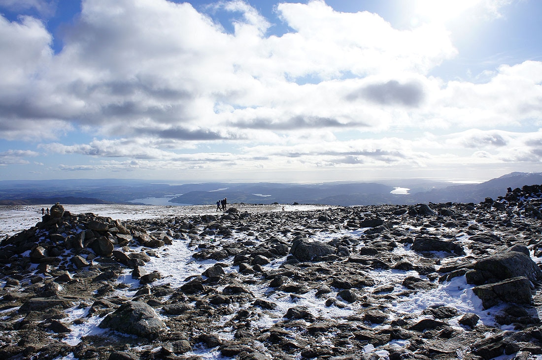
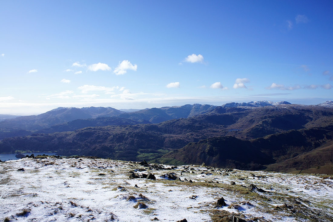
The view south towards Morecambe Bay with Windermere on the left and Coniston Water on the right
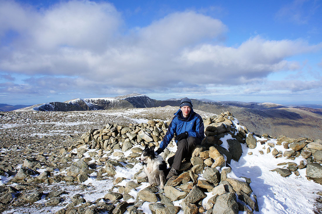
On the summit of Fairfield
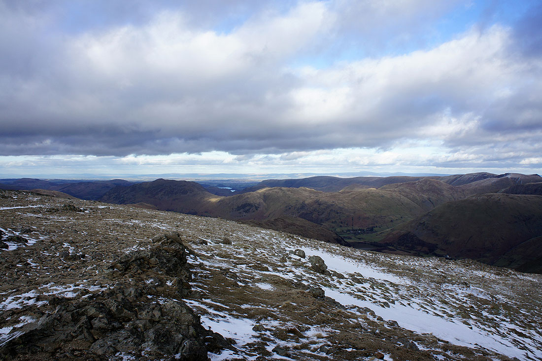
Far eastern fells from Fairfield. The view includes Loadpot Hill, High Raise and High Street.
High Street and the Ill Bell ridge in view. The Howgills and Ingleborough can be made out in the far distance.
The Coniston fells, Crinkle Crags, Bowfell, the Scafells and Great Gable
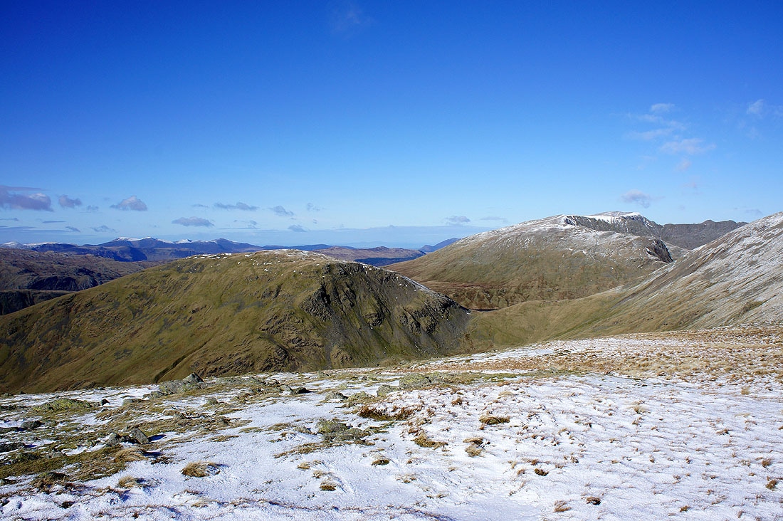
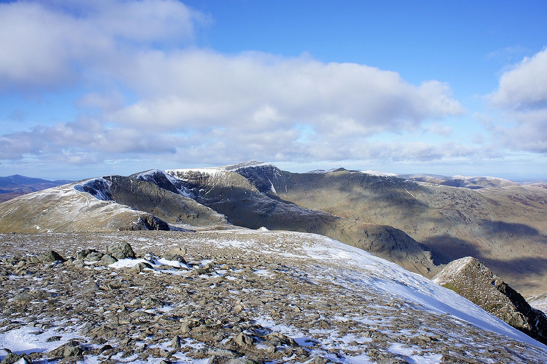
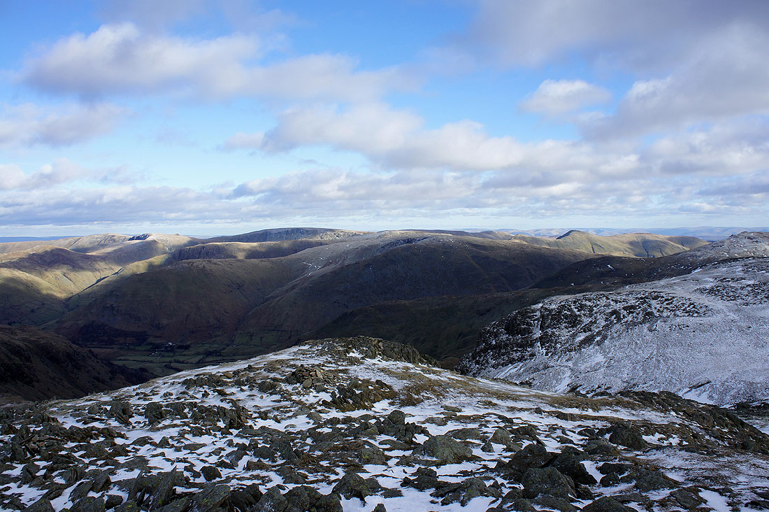
On the next summit of the day, Hart Crag
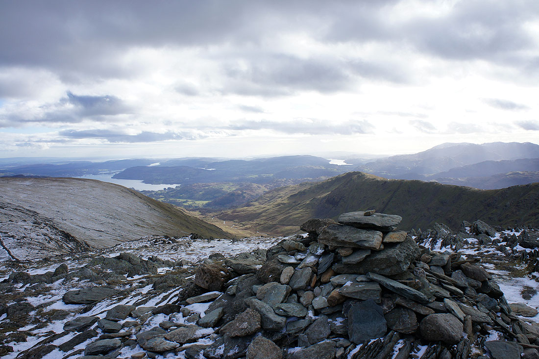
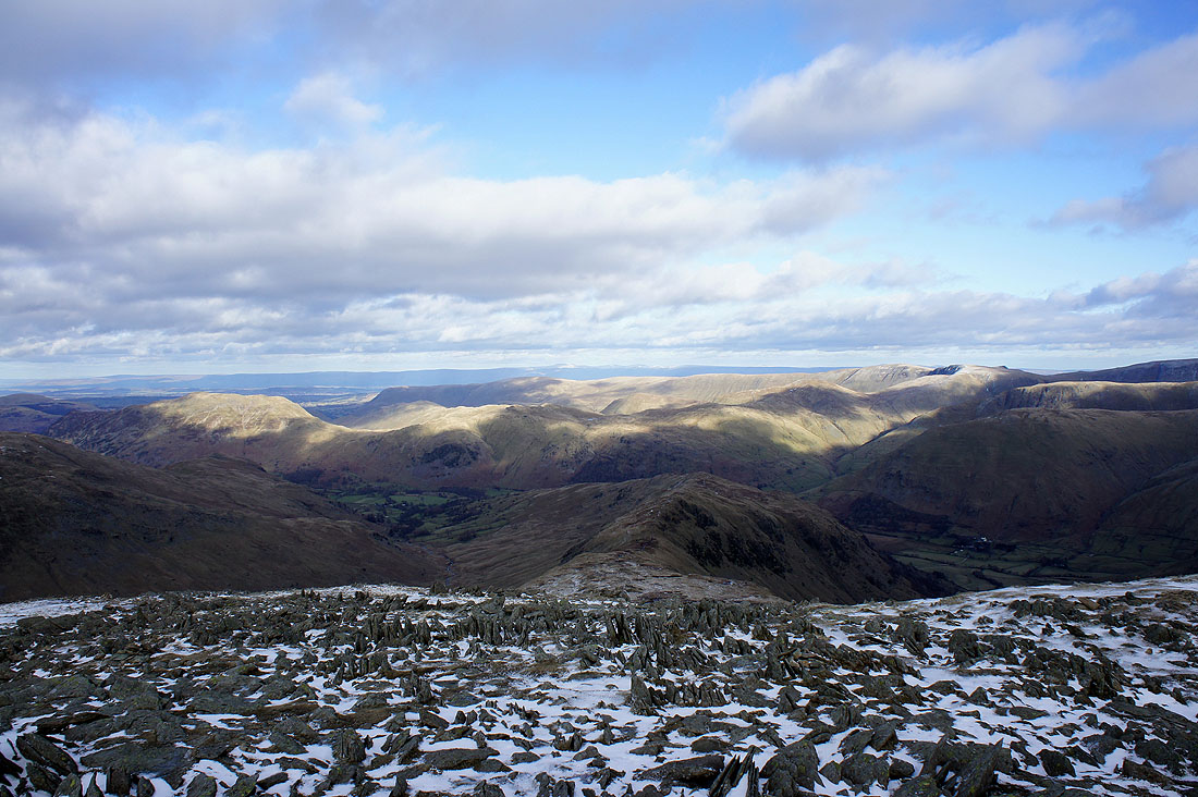
The Ill Bell ridge, Red Screes and Dove Crag
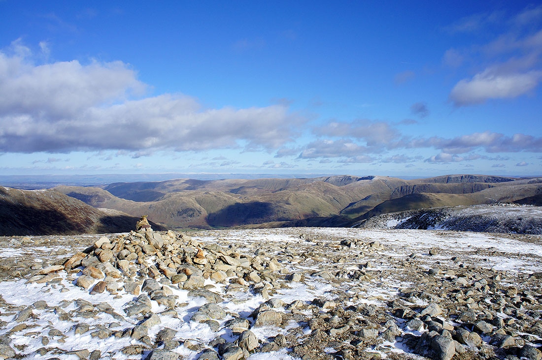
The ridge of Hartsop-above-How heading down into the valley and the fells around Patterdale
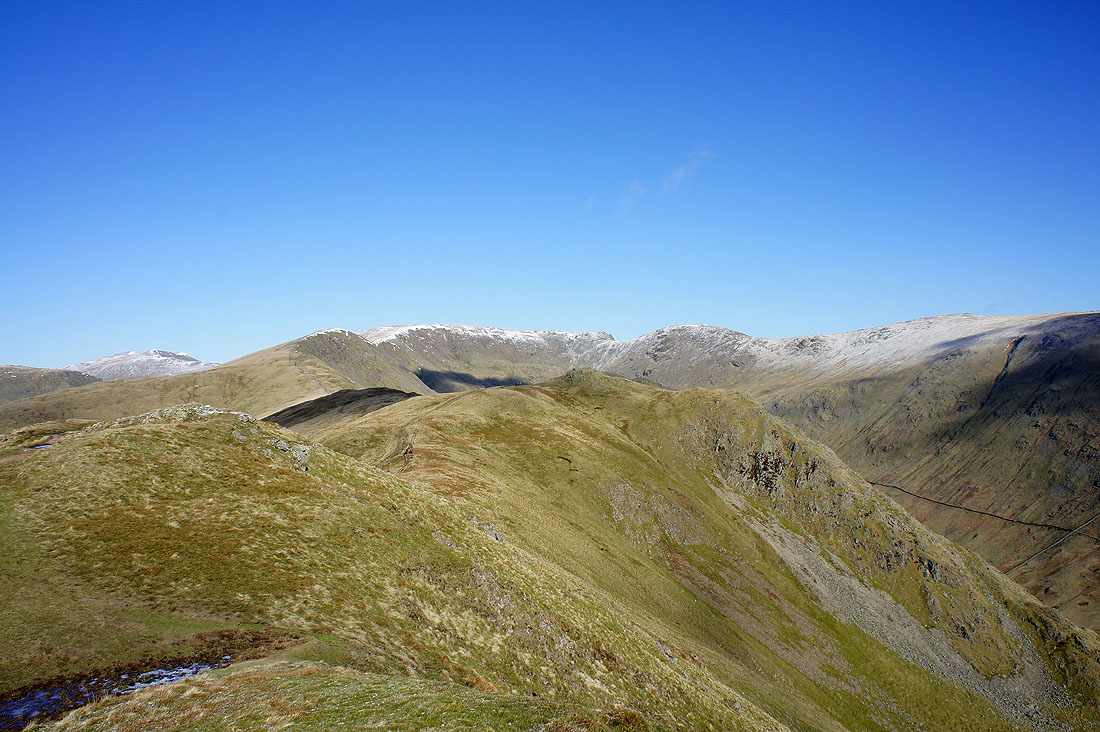
High Raise, High Street and Caudale Moor
Helvellyn and St. Sunday Crag
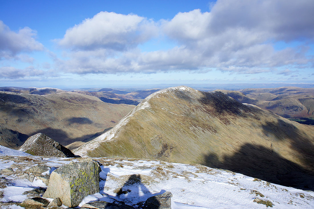
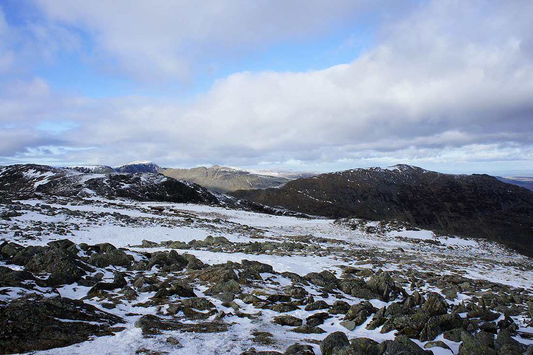
Dove Crag summit. Just follow the wall.
Ill Bell and Red Screes
Place Fell and Angletarn Pikes and the Loadpot Hill to High Raise ridge
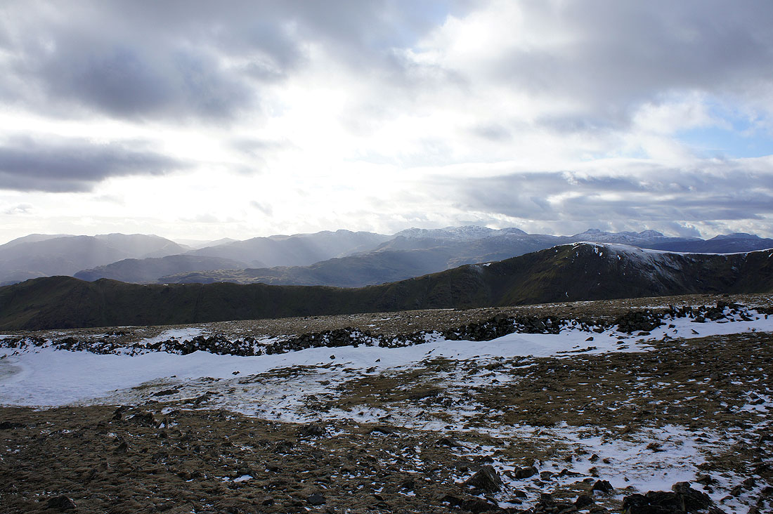
The Coniston fells, Crinkle Crags, Bowfell, the Scafells, Great Gable and Pillar from Dove Crag. The ridge in the foreground is the route of ascent from Heron Pike to Great Rigg.
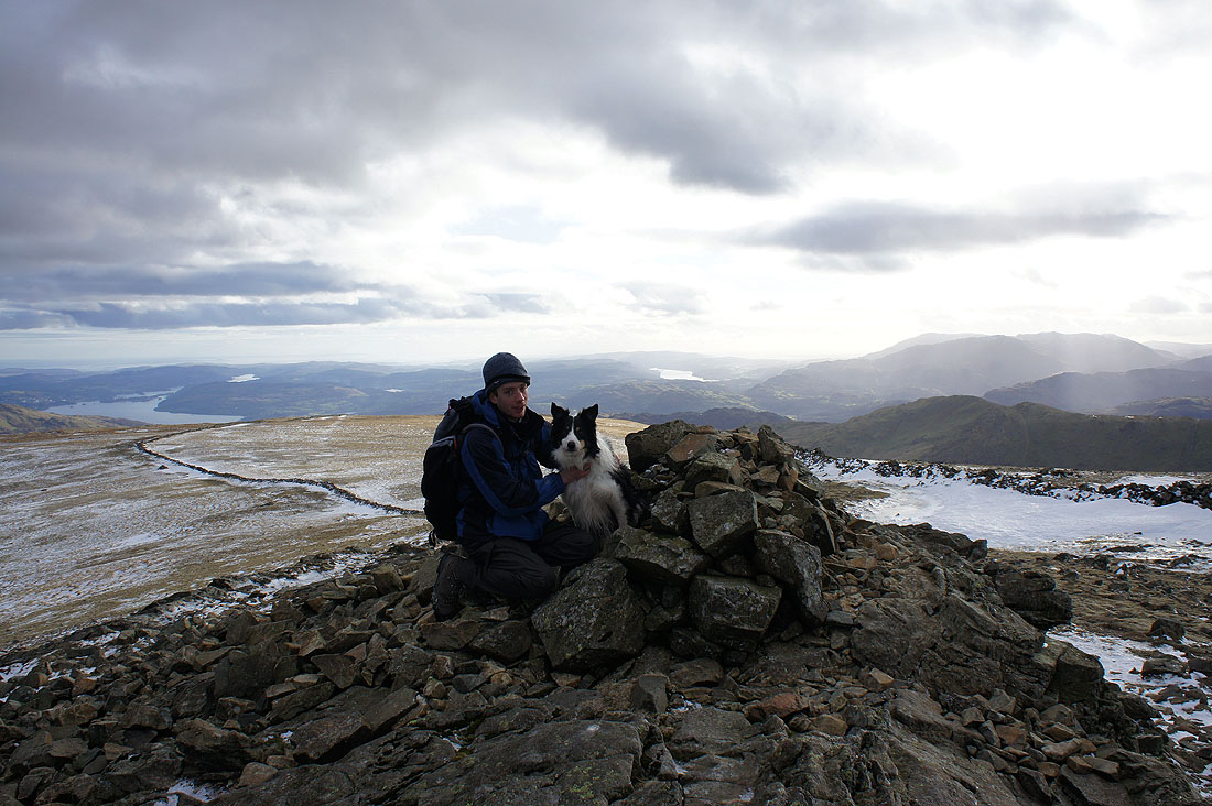
Andy and Milo on Dove Crag
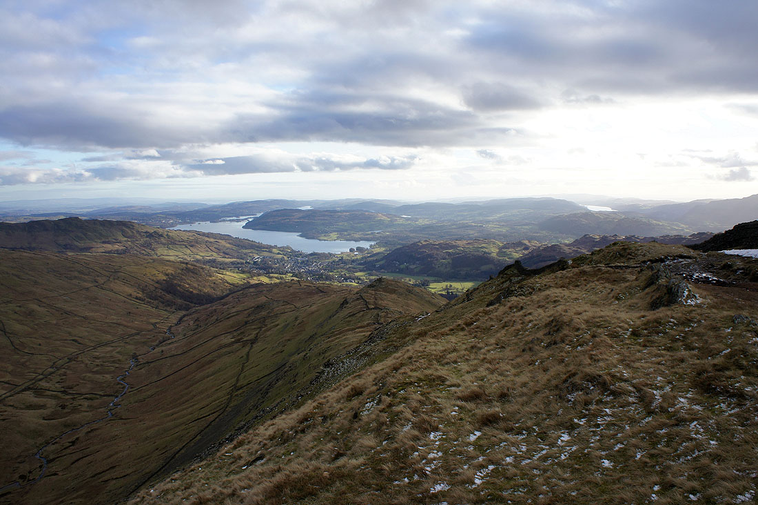
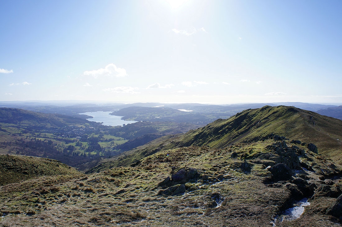
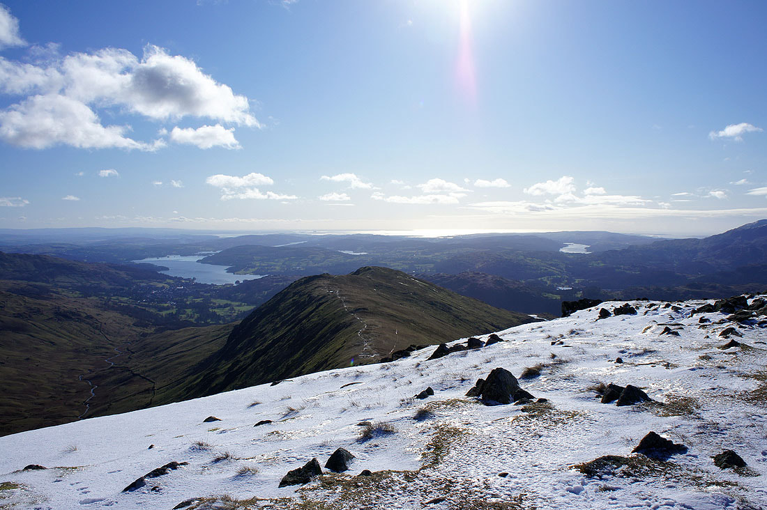
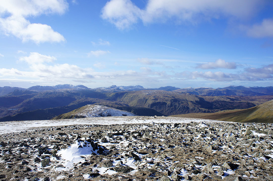
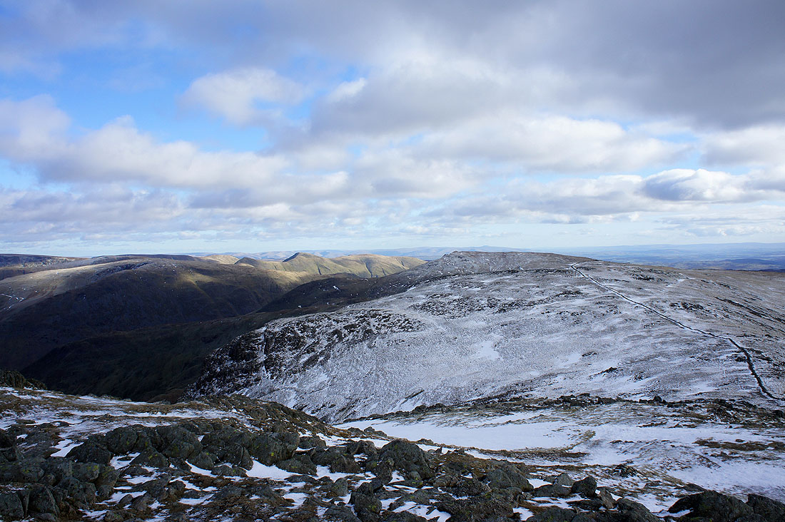
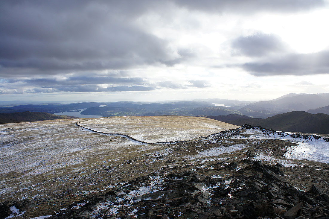
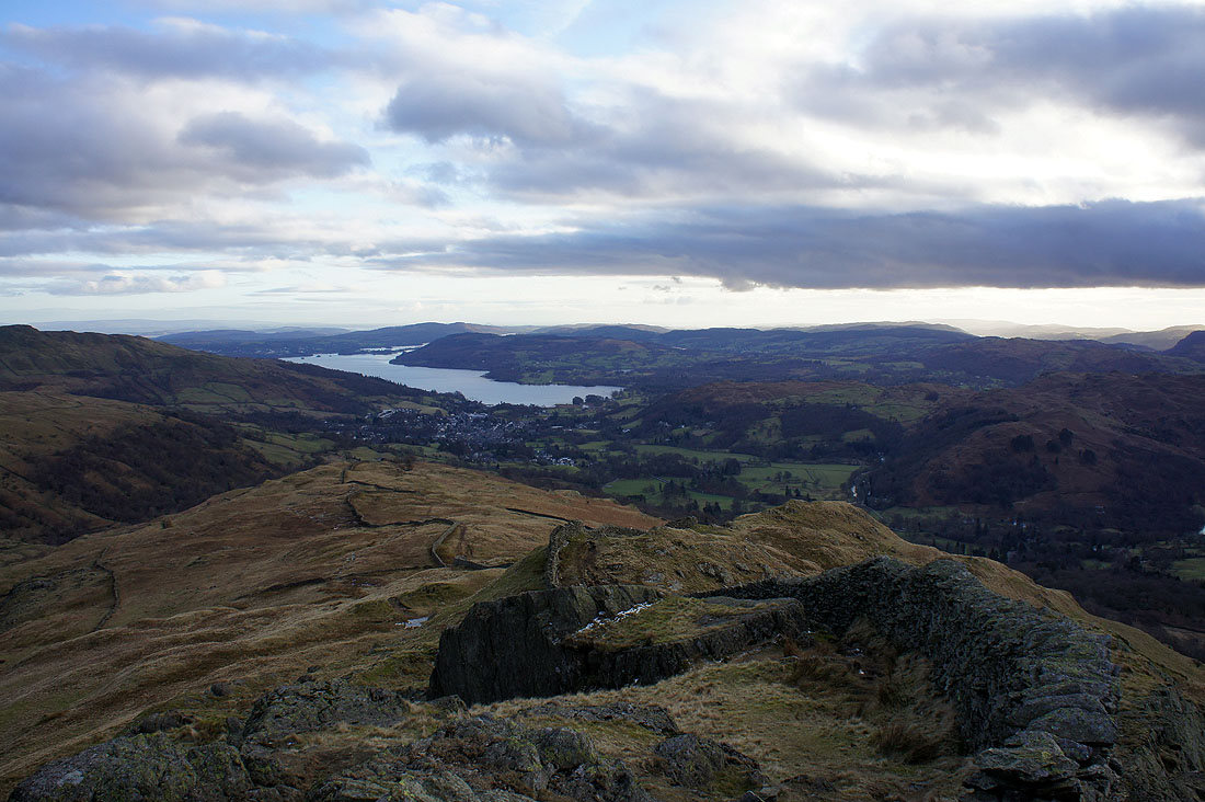
Windermere from High Pike
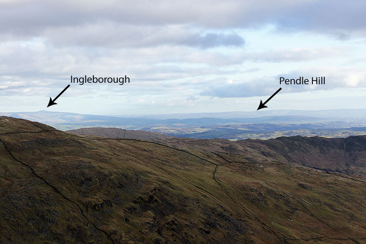
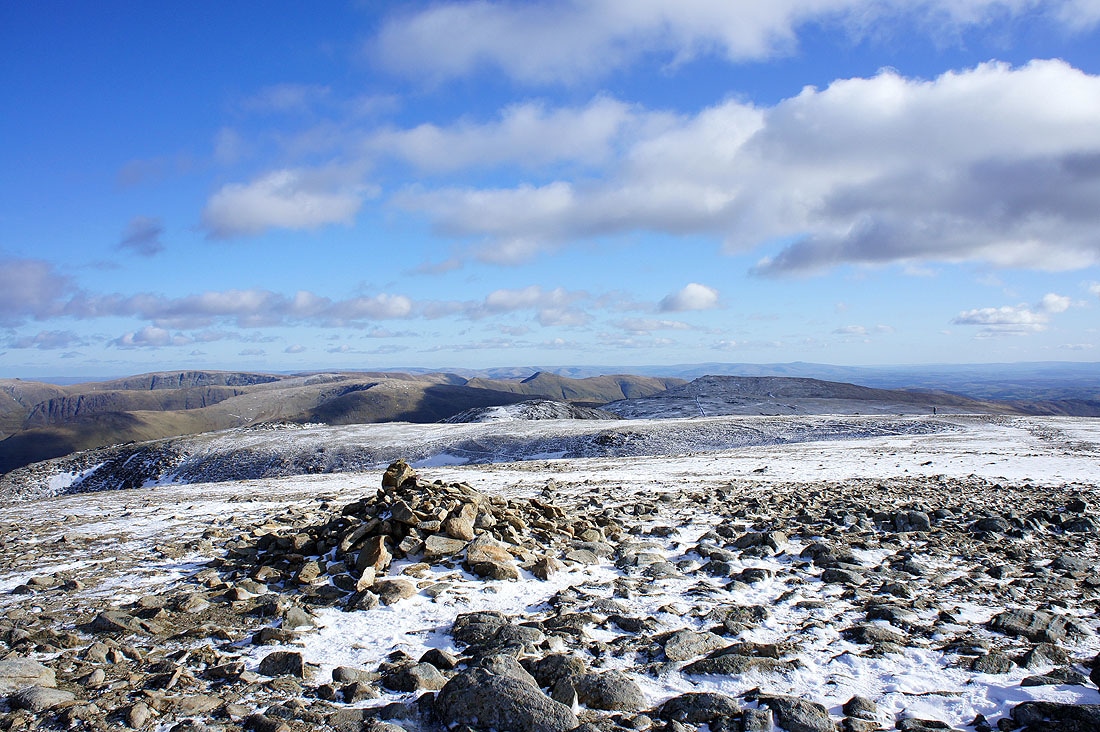
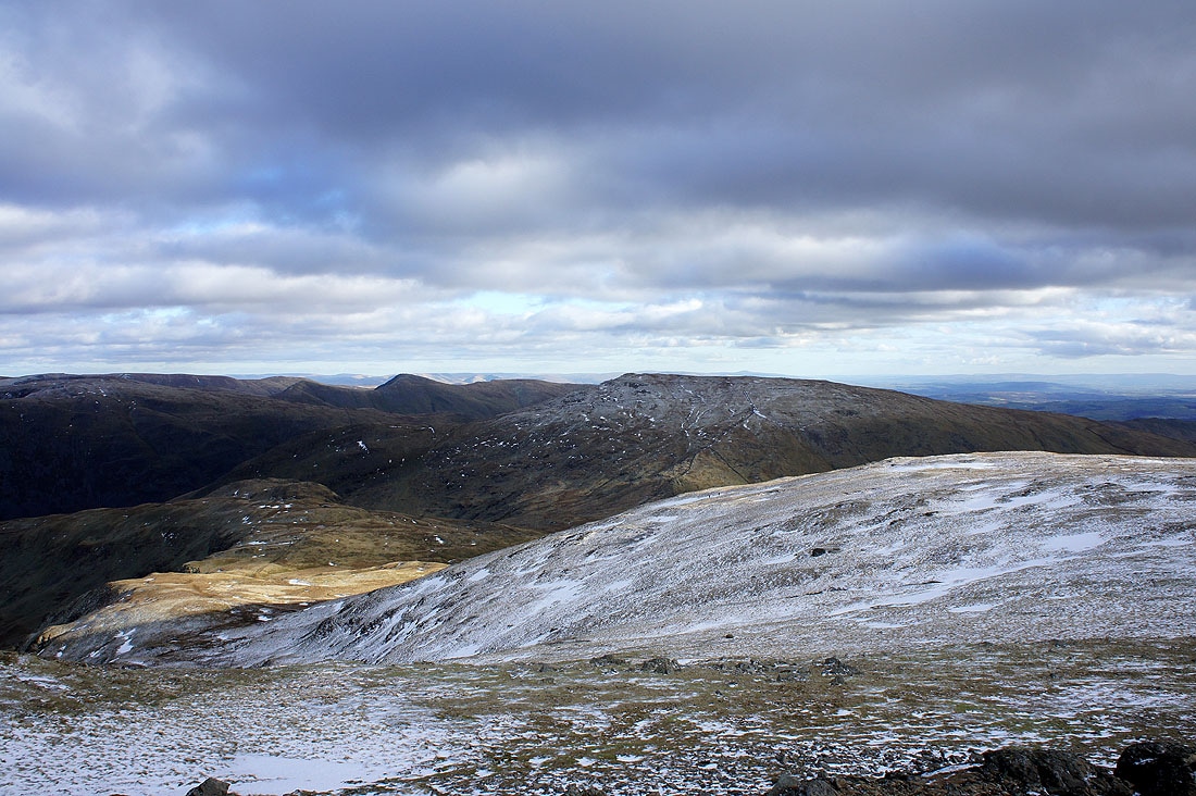
The visibility was excellent throughout the day with far distant hills visible, so while I was on High Pike I tried to get two well known hills in the picture. Ingleborough is easy to spot but Pendle Hill is more difficult to distinguish from the surrounding hills.
Windermere and the final descent to Ambleside from Low Pike