19th February 2023 - Stoodley Pike
Walk Details
Distance walked: 13.1 miles
Total ascent: 1804 ft
OS map used: OL21 - South Pennines
Time taken: 6.5 hrs
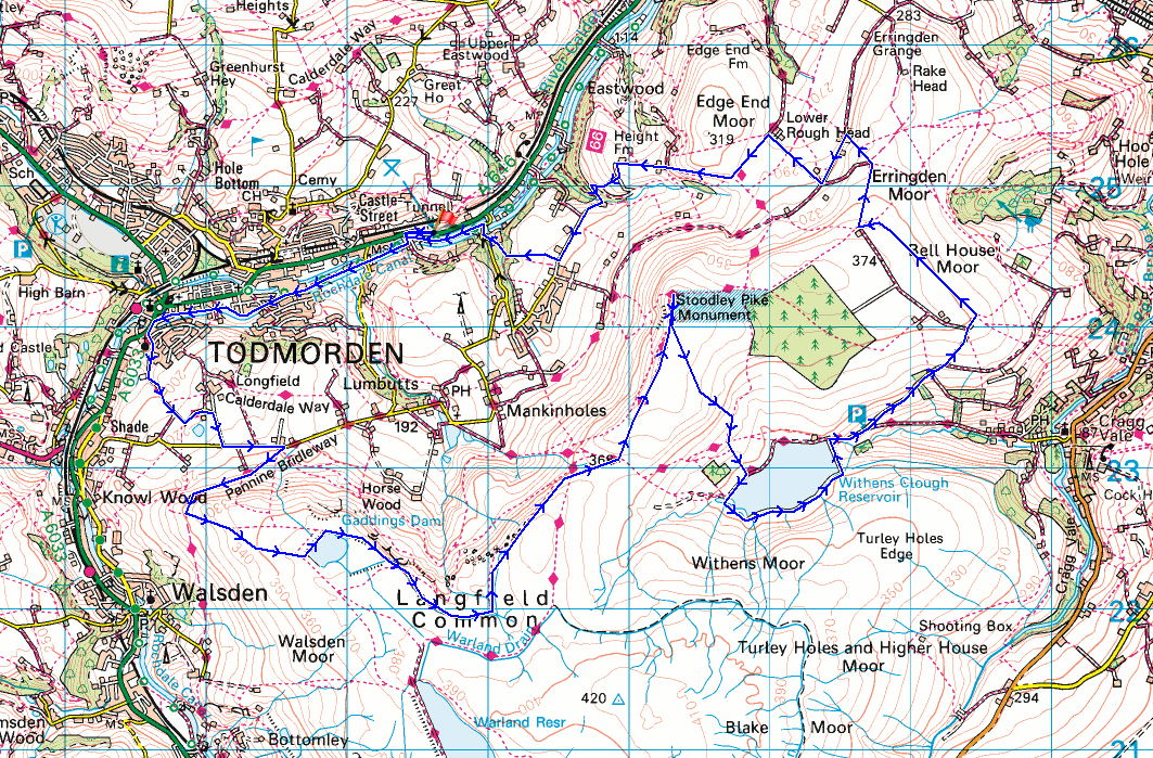
Route description: Lobb Mill picnic site, A646-Haugh Road-Rochdale Canal-Todmorden-Longfield Road-Honey Hole Road-Shoebroad Lane-Long Hey Lane-Lumbutts Road-Pennine Bridleway-Rake End-Gaddings Dam-Langfield Edge-Coldwell Hill-Pennine Way-Stoodley Pike-Higher Moor-Withens Clough Reservoir-Withens Lane-Stony Royd Lane-Stony Road Farm-Bell House Moor-Kilnshaw Lane-Pennine Bridleway-Pennine Way-Height Gate Farm-Height Farm-Middle Stoodley House-Higher Stoodley Farm-Shaw Wood-Shaw Wood Road-Rochdale Canal-Haugh Road-Lobb Mill picnic site, A646
For today's walk I decided to head to Calderdale for a walk up Stoodley Pike, a landmark that I've visited many times, and via many different routes. It's been a few years since I last approached it from the west though, along Langfield Edge and Coldwell Hill, and certainly not since I moved home nearly four years ago. My route today would take in that approach, as well as a section of the towpath of the Rochdale Canal that I hadn't walked before, and some new footpaths and bridleways for getting up to Lumbutts Road from Todmorden. The forecast was for a cloudy, windy and mild winter's day, and most importantly, that it should stay dry. It did brighten up a bit during the afternoon to give some weak sunshine, which was a bonus.
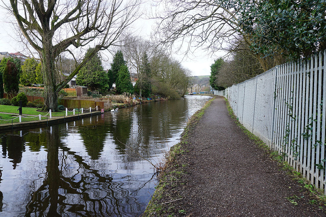
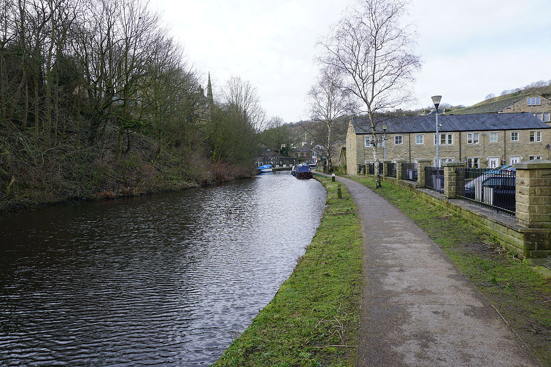
From the car park at the Lobb Mill picnic site by the A646 I crossed the road and briefly followed it west to Haugh Road, where I joined the towpath by the Rochdale Canal, which took me west to Todmorden. I left the towpath in Todmorden and got up onto the A6033, walked south past the Golden Lion pub to Longfield Road, which I took and then immediately turned right to walk up Honey Hole Road past Todmorden Unitarian Church to its top and onto the track of Shoebroad Lane. I then followed this track past Shoebroad Barn and the Longfield Equestrian Centre to reach Lumbutts Road. After walking up Lumbutts Road to the Shepherds Rest Inn I took the Pennine Bridleway and followed it uphill to Rake End, and then a footpath up to Gaddings Dam, from where I followed a footpath along Langfield Edge and the side of Coldwell Hill to join the Pennine Way to reach Stoodley Pike. After a stop for lunch in the shelter of the monument I took a footpath south onto Higher Moor and down to Withens Clough Reservoir, then made my way anticlockwise round the reservoir, across its dam, and down the track to the car park below. From there I walked up Withins Lane, and then Stony Royd Lane to Stony Royd Farm to take a footpath through the farm and onto Bell House Moor. I then made my way northwest across Bell House Moor and down to Kilnshaw Farm on Kilnshaw Lane, which I walked south along before taking a track northwest to Lower Rough Head. I was briefly on the Pennine Way from here before taking a footpath along the side of Lodge Hill and down to Height Gate Farm, then the track to Height Farm. From Height Farm I made my way down onto the bridleway to Middle Stoodley House and then Higher Stoodley Farm, to take a footpath on the right down through fields and Shaw Wood to Shaw Wood Road and the Rochdale Canal. I then walked west along the towpath to Haugh Road to retrace my steps to the car park on the A646.
Total ascent: 1804 ft
OS map used: OL21 - South Pennines
Time taken: 6.5 hrs
Route description: Lobb Mill picnic site, A646-Haugh Road-Rochdale Canal-Todmorden-Longfield Road-Honey Hole Road-Shoebroad Lane-Long Hey Lane-Lumbutts Road-Pennine Bridleway-Rake End-Gaddings Dam-Langfield Edge-Coldwell Hill-Pennine Way-Stoodley Pike-Higher Moor-Withens Clough Reservoir-Withens Lane-Stony Royd Lane-Stony Road Farm-Bell House Moor-Kilnshaw Lane-Pennine Bridleway-Pennine Way-Height Gate Farm-Height Farm-Middle Stoodley House-Higher Stoodley Farm-Shaw Wood-Shaw Wood Road-Rochdale Canal-Haugh Road-Lobb Mill picnic site, A646
For today's walk I decided to head to Calderdale for a walk up Stoodley Pike, a landmark that I've visited many times, and via many different routes. It's been a few years since I last approached it from the west though, along Langfield Edge and Coldwell Hill, and certainly not since I moved home nearly four years ago. My route today would take in that approach, as well as a section of the towpath of the Rochdale Canal that I hadn't walked before, and some new footpaths and bridleways for getting up to Lumbutts Road from Todmorden. The forecast was for a cloudy, windy and mild winter's day, and most importantly, that it should stay dry. It did brighten up a bit during the afternoon to give some weak sunshine, which was a bonus.
From the car park at the Lobb Mill picnic site by the A646 I crossed the road and briefly followed it west to Haugh Road, where I joined the towpath by the Rochdale Canal, which took me west to Todmorden. I left the towpath in Todmorden and got up onto the A6033, walked south past the Golden Lion pub to Longfield Road, which I took and then immediately turned right to walk up Honey Hole Road past Todmorden Unitarian Church to its top and onto the track of Shoebroad Lane. I then followed this track past Shoebroad Barn and the Longfield Equestrian Centre to reach Lumbutts Road. After walking up Lumbutts Road to the Shepherds Rest Inn I took the Pennine Bridleway and followed it uphill to Rake End, and then a footpath up to Gaddings Dam, from where I followed a footpath along Langfield Edge and the side of Coldwell Hill to join the Pennine Way to reach Stoodley Pike. After a stop for lunch in the shelter of the monument I took a footpath south onto Higher Moor and down to Withens Clough Reservoir, then made my way anticlockwise round the reservoir, across its dam, and down the track to the car park below. From there I walked up Withins Lane, and then Stony Royd Lane to Stony Royd Farm to take a footpath through the farm and onto Bell House Moor. I then made my way northwest across Bell House Moor and down to Kilnshaw Farm on Kilnshaw Lane, which I walked south along before taking a track northwest to Lower Rough Head. I was briefly on the Pennine Way from here before taking a footpath along the side of Lodge Hill and down to Height Gate Farm, then the track to Height Farm. From Height Farm I made my way down onto the bridleway to Middle Stoodley House and then Higher Stoodley Farm, to take a footpath on the right down through fields and Shaw Wood to Shaw Wood Road and the Rochdale Canal. I then walked west along the towpath to Haugh Road to retrace my steps to the car park on the A646.
Route map
© Crown copyright. All rights reserved. License number PU 100034184.
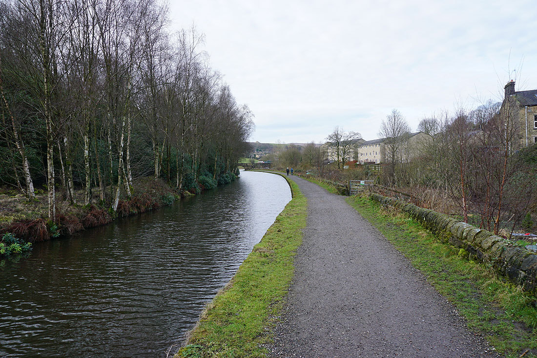
After crossing the A646 from the picnic site I follow the towpath by the Rochdale Canal to Todmorden...
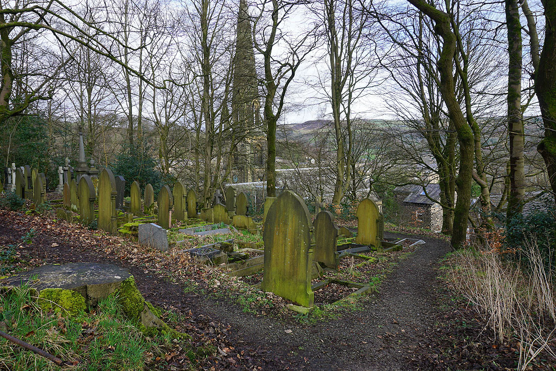
Making my way up out of Todmorden I pass Todmorden Unitarian Church
From the church I follow a bridleway up to Lumbutts Road
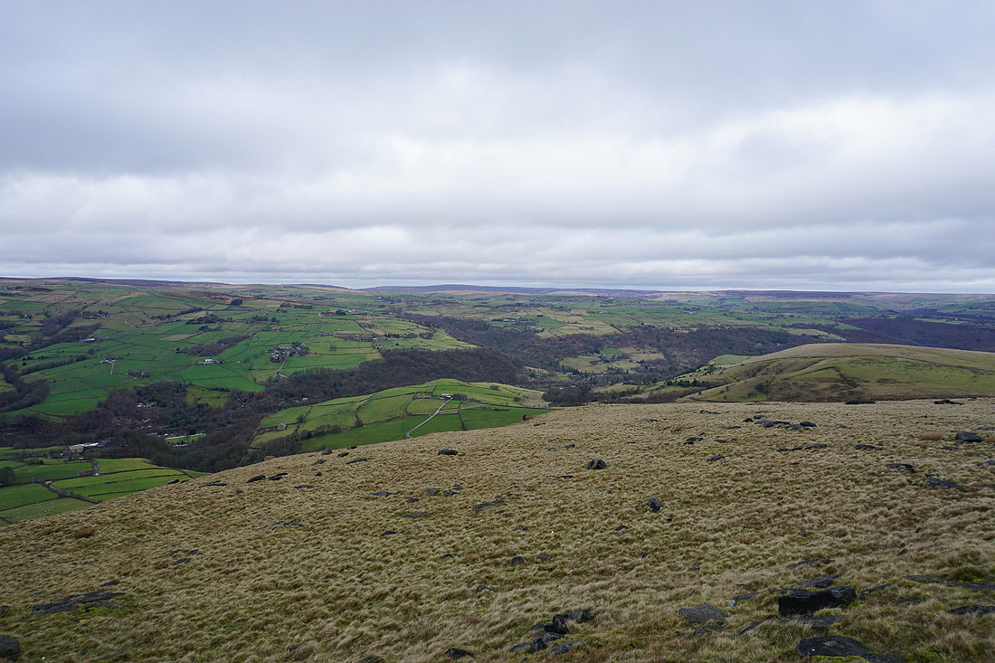
Looking across Calderdale to Bride Stones Moor from Lumbutts Road
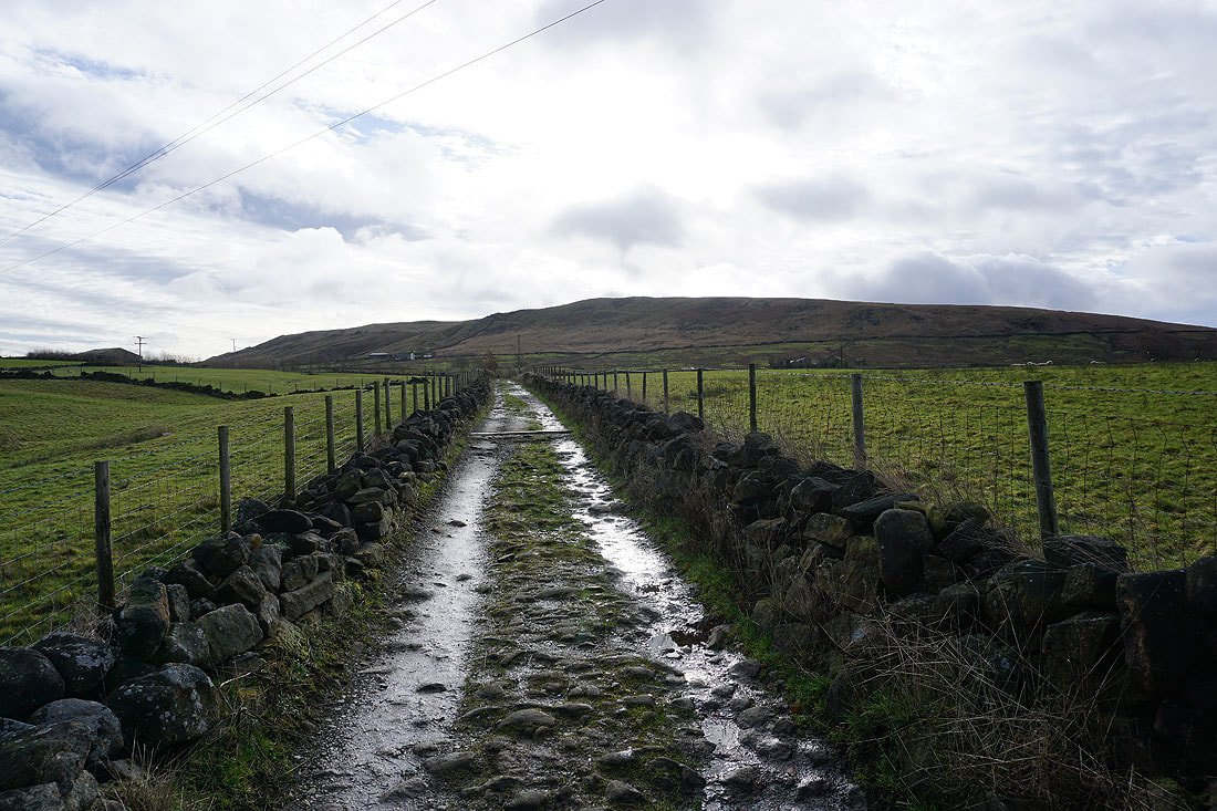
On the Pennine Bridleway up to Rake End
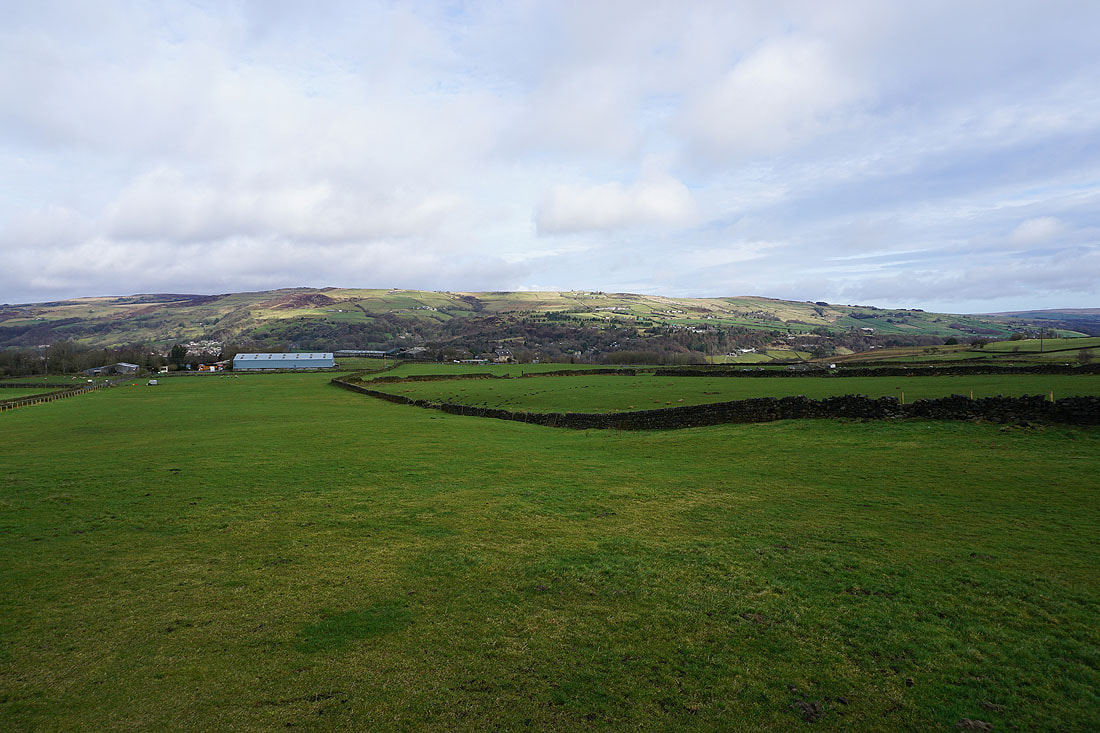
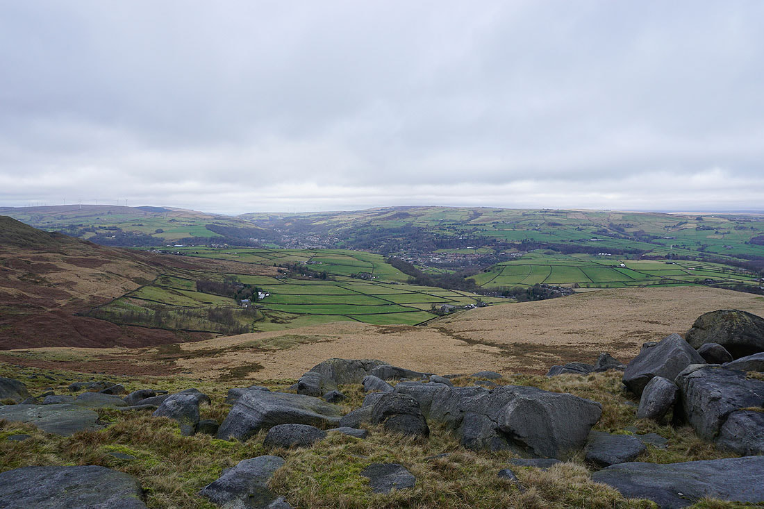
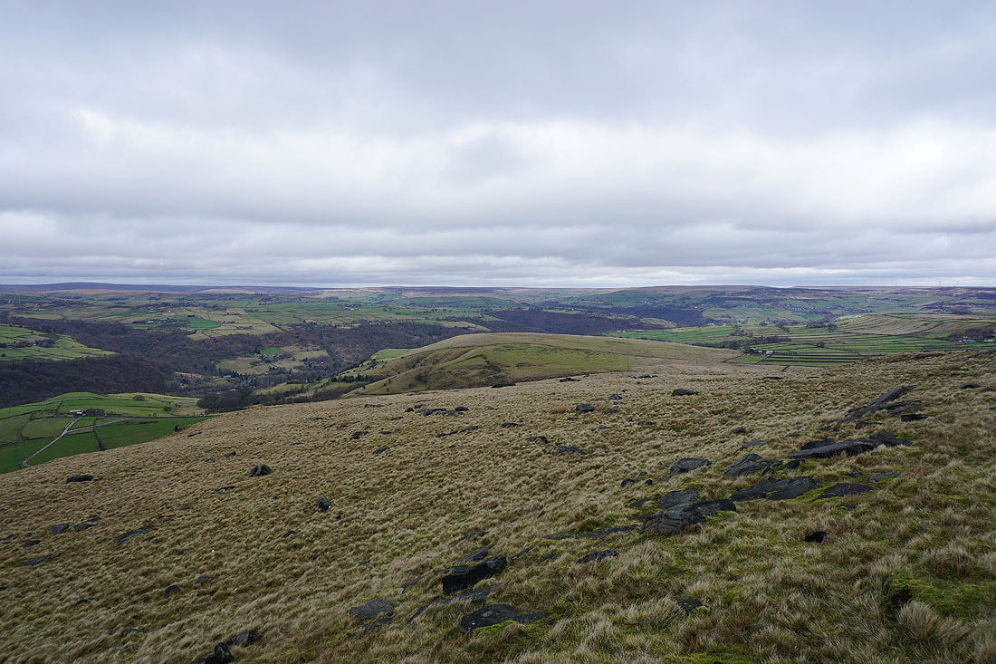
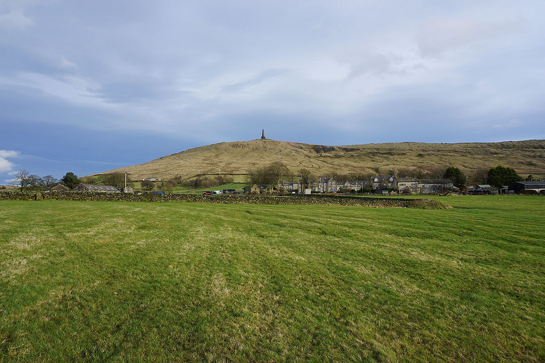
Looking back down Calderdale with Stoodley Pike on the right
and across to Freeholds Top, Inchfield Pasture, and Flower Scar Hill from Rake End
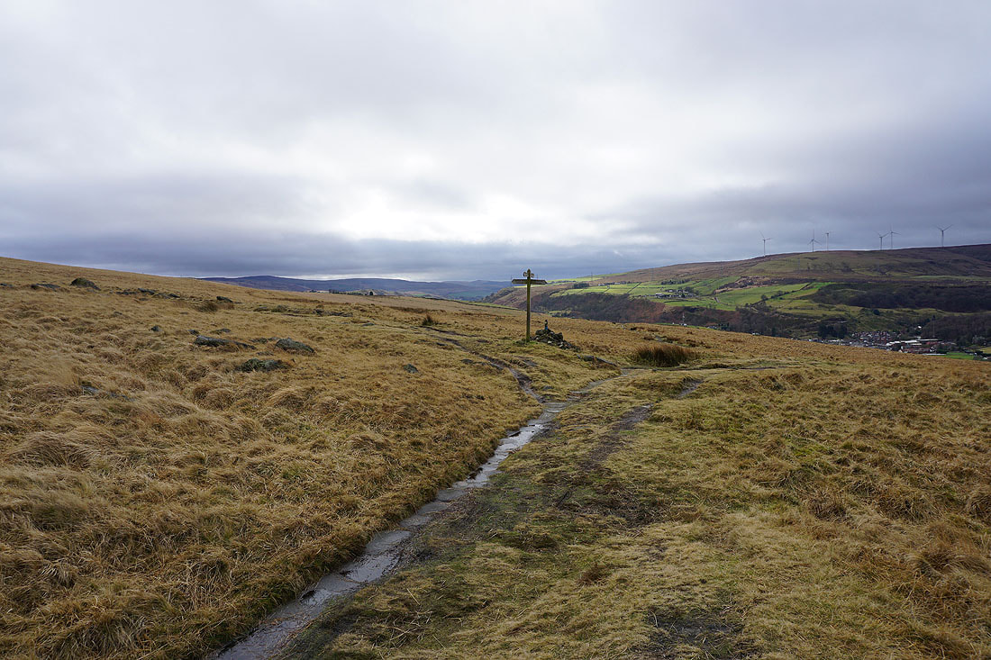
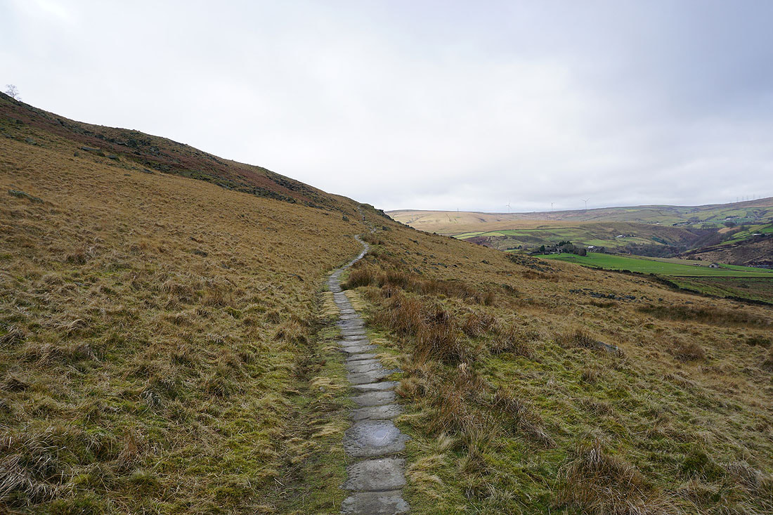
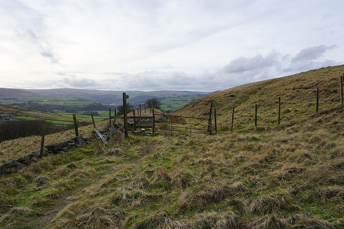
Reaching the footpath junction on Rake End. I'll turn left and head up to Gaddings Dam.
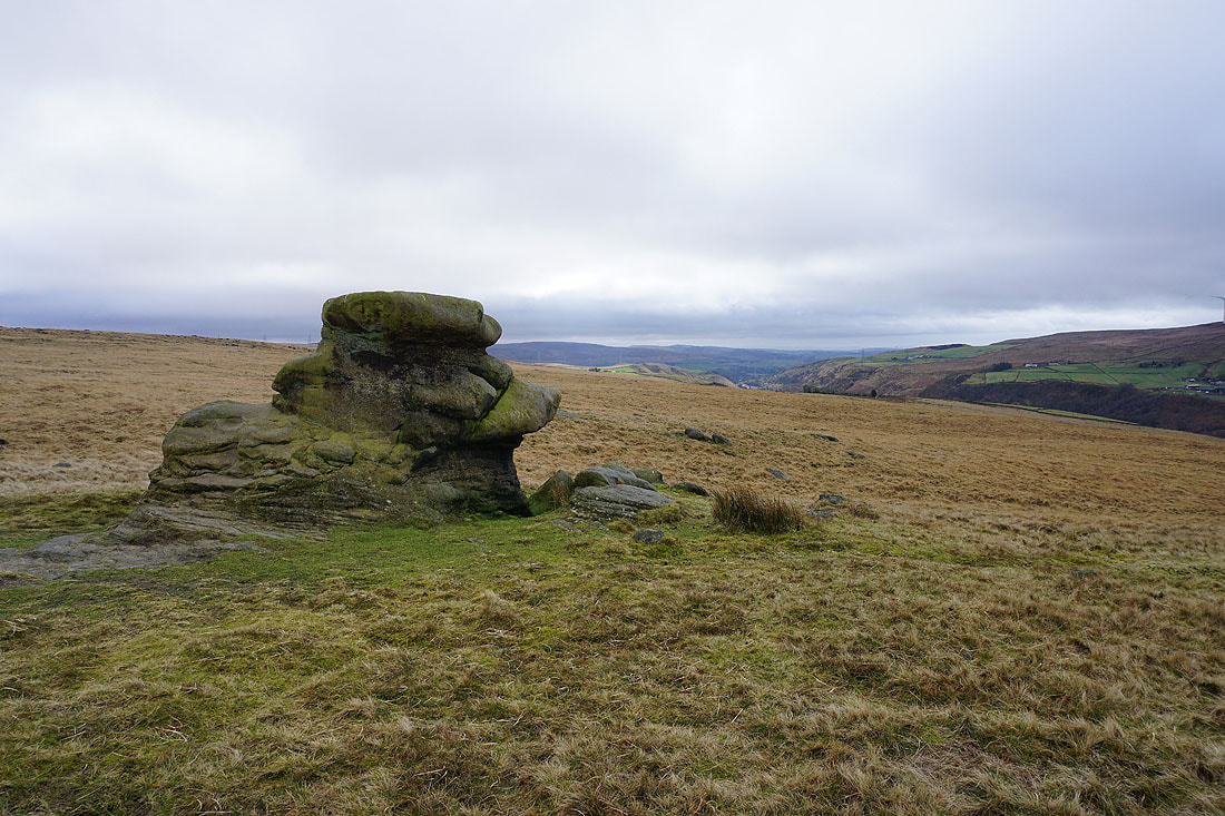
On the way up I pass the Basin Stone
At a windswept Gaddings Dam
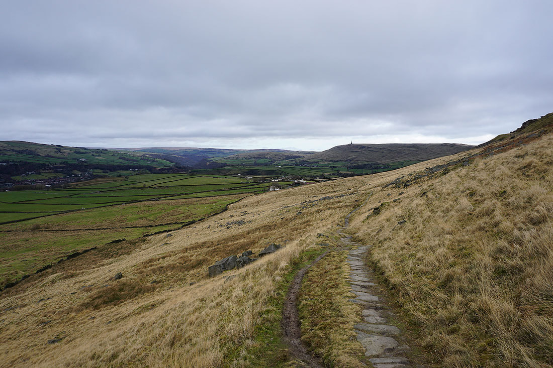
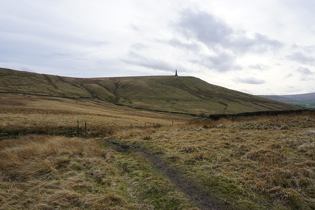
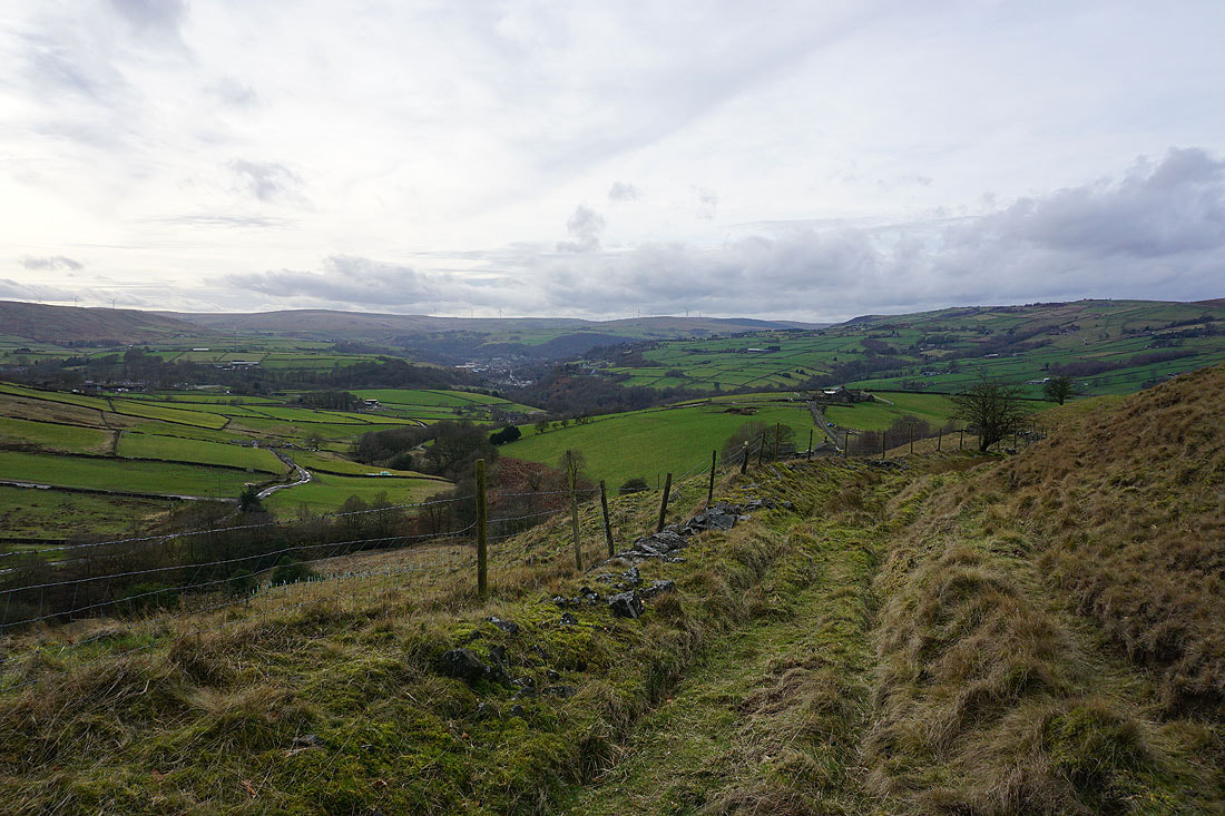
Views across to Stoodley Pike as I follow the path along Langfield Edge...
From Langfield Edge I reach Coldwell Hill. Looking down to Todmorden..
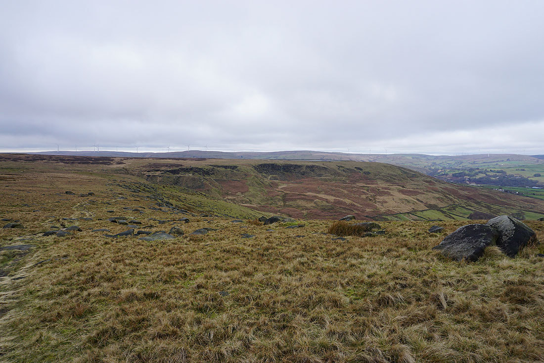
..and back to Langfield Edge
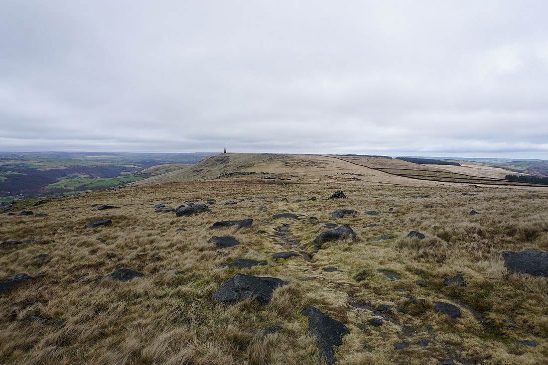
..and onwards to Stoodley Pike
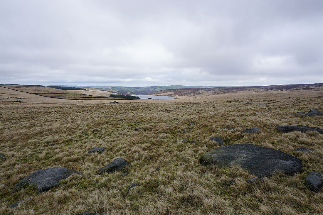
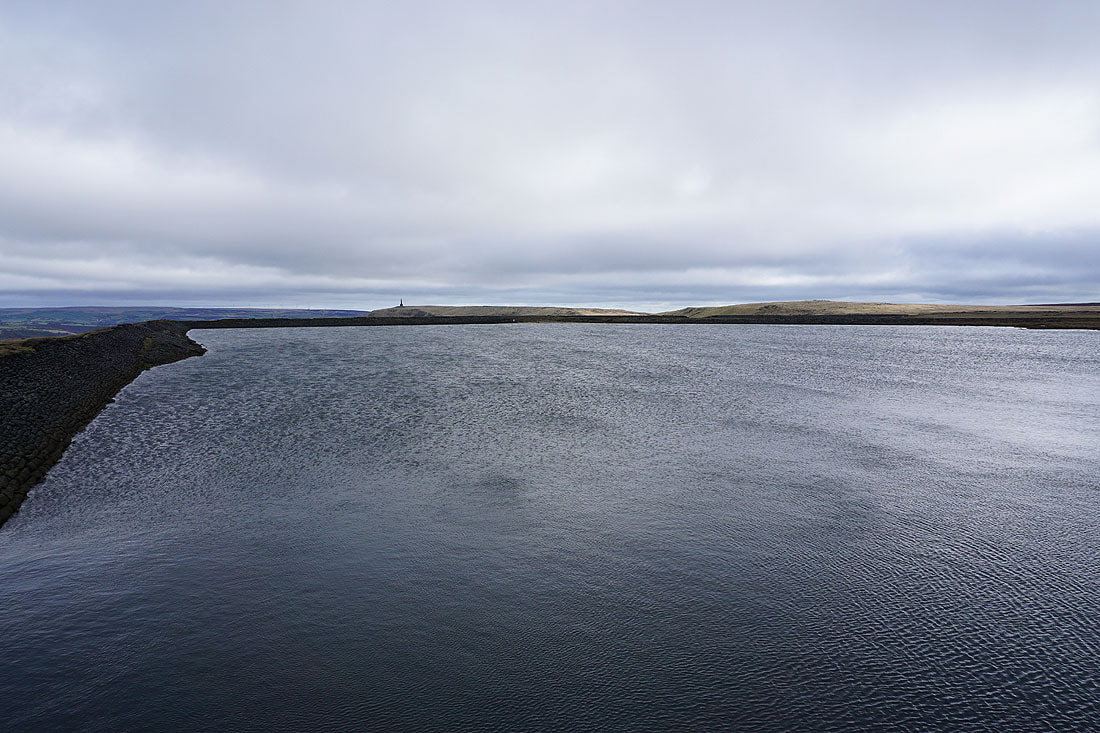
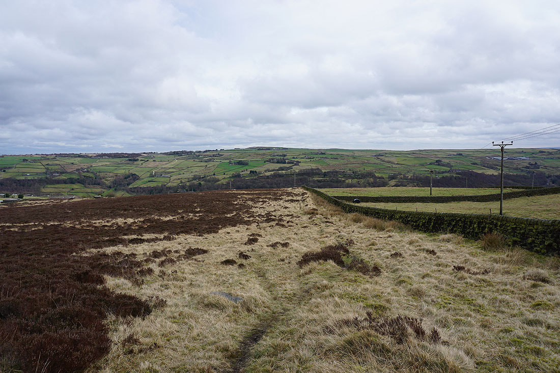
To my right, Withens Clough Reservoir, which I'll be walking past later
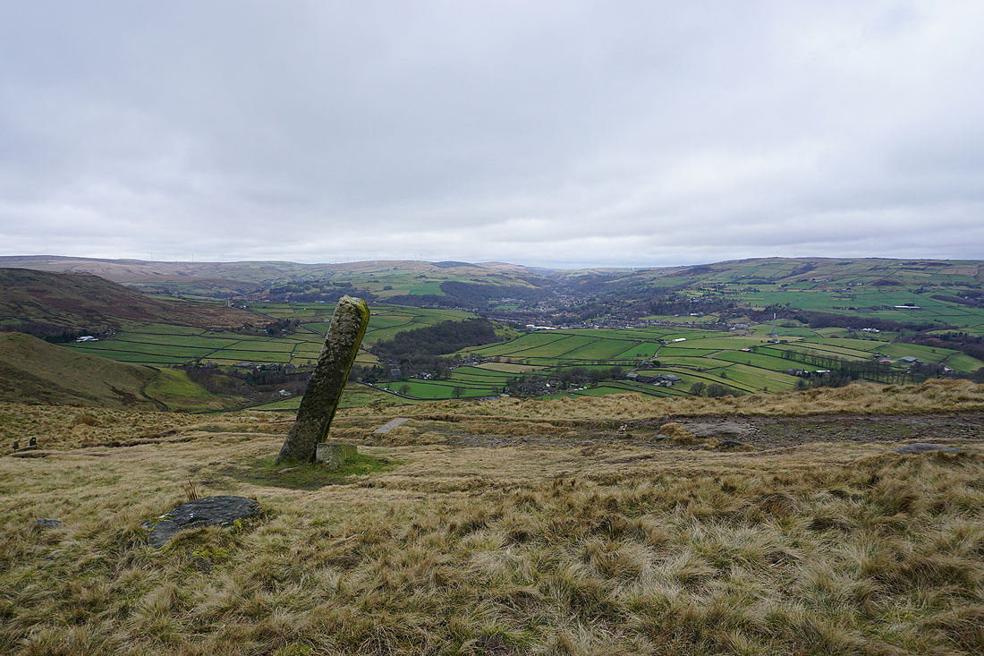
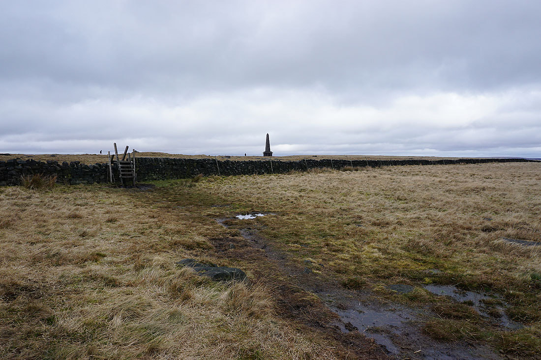
Passing the guide stone of Long Stoop
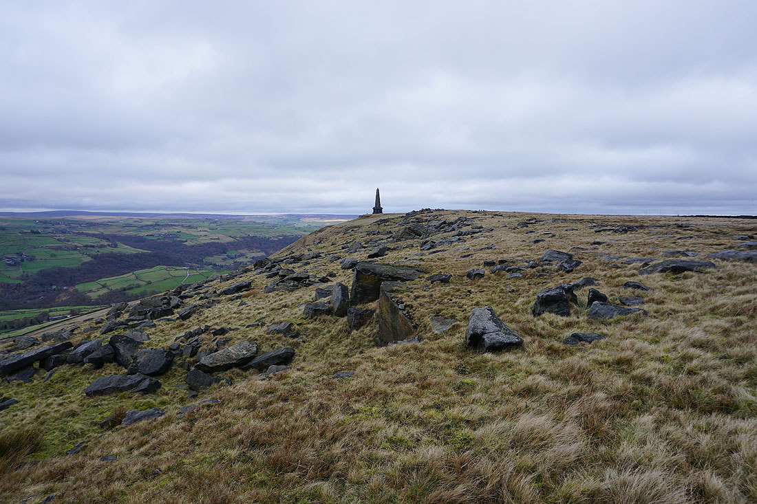
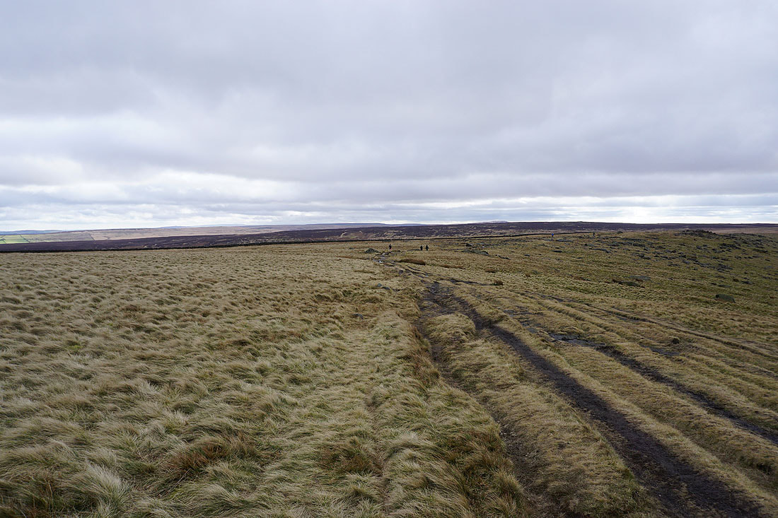
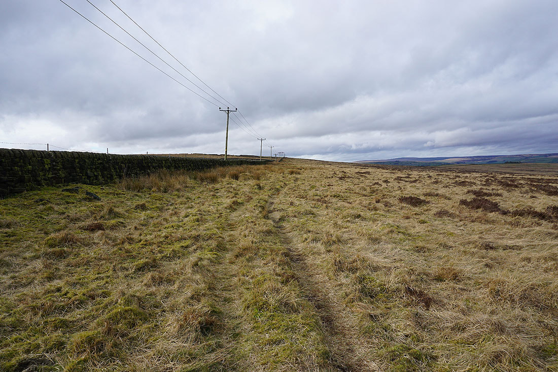
On the Pennine Way to Stoodley Pike..
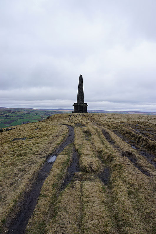
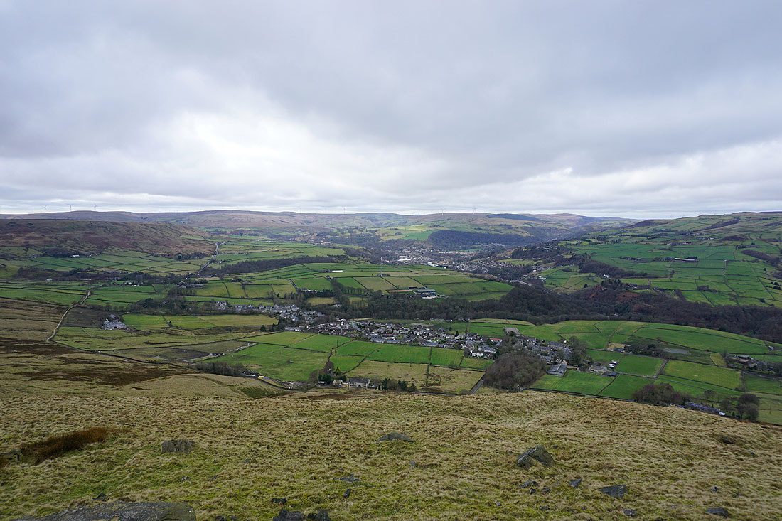
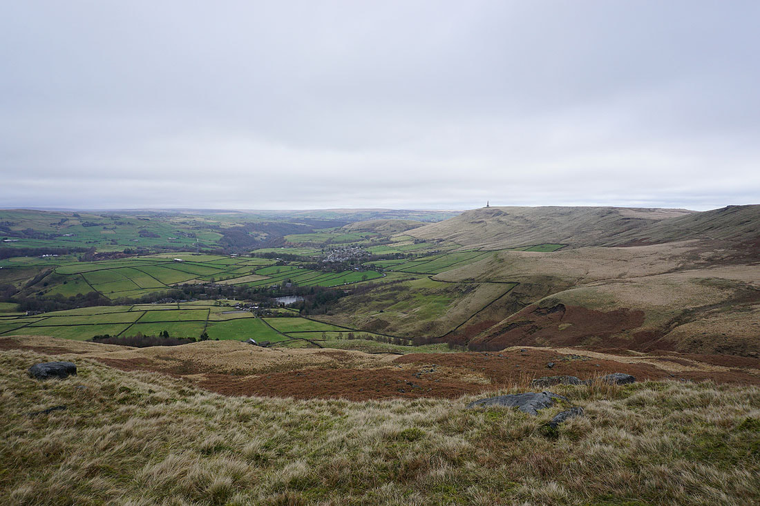
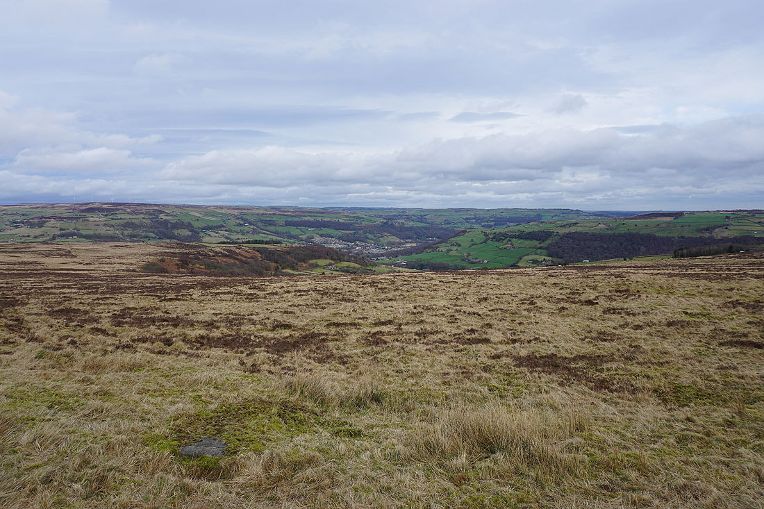
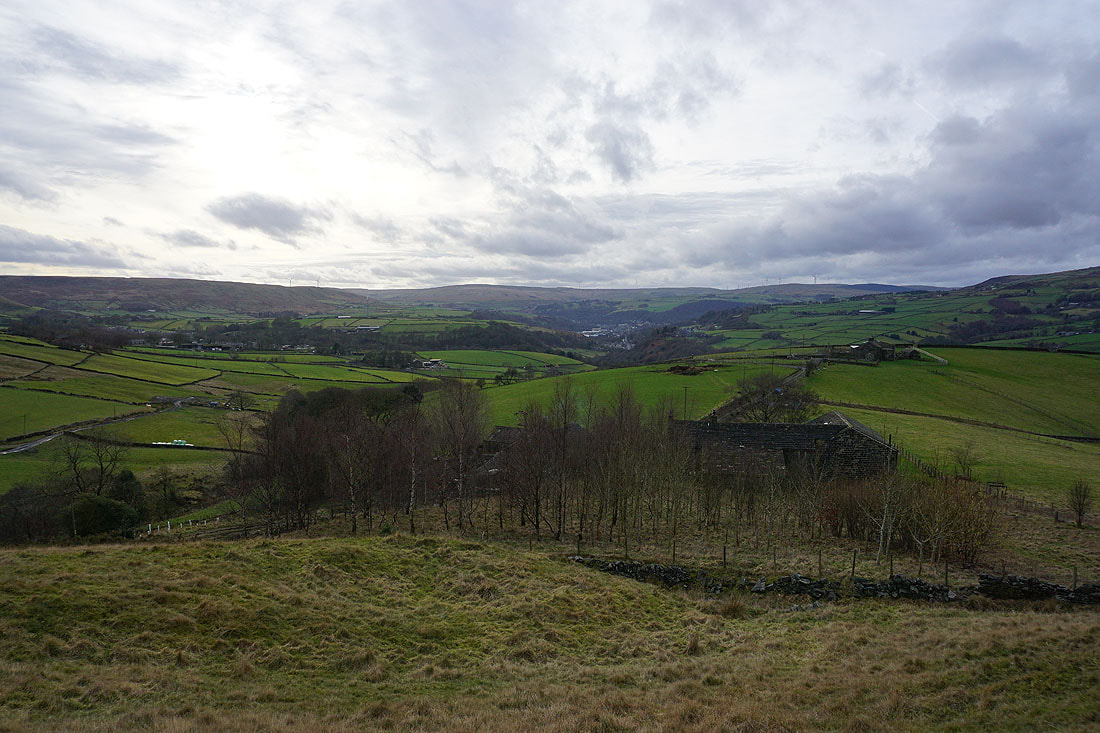
After a break for lunch in the shelter of the monument, time to take in the view from a very windy Stoodley Pike. Lumbutts and Mankinholes on the hillside below, with Todmorden in the distance in the valley bottom.
Looking across Calderdale to Staups Moor and Jumble Hole Clough..
..and down Calderdale to the moors around Hebden Bridge
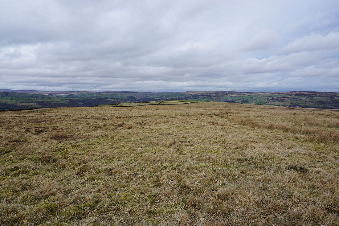
Leaving Stoodley Pike I briefly head back along the Pennine Way to pick up a footpath down to Withens Clough Reservoir
Looking back to Stoodley Pike after crossing onto Higher Moor
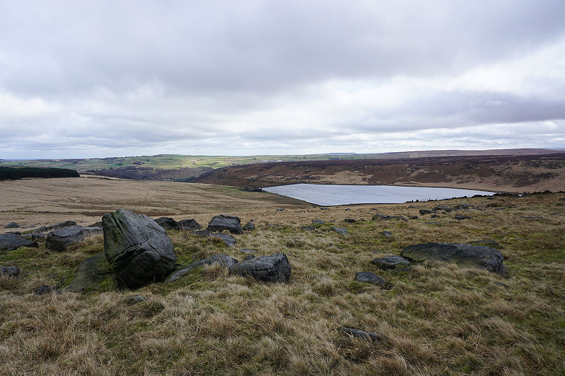
Withens Clough Reservoir below Turley Holes Edge
Heading down to Withens Clough Reservoir
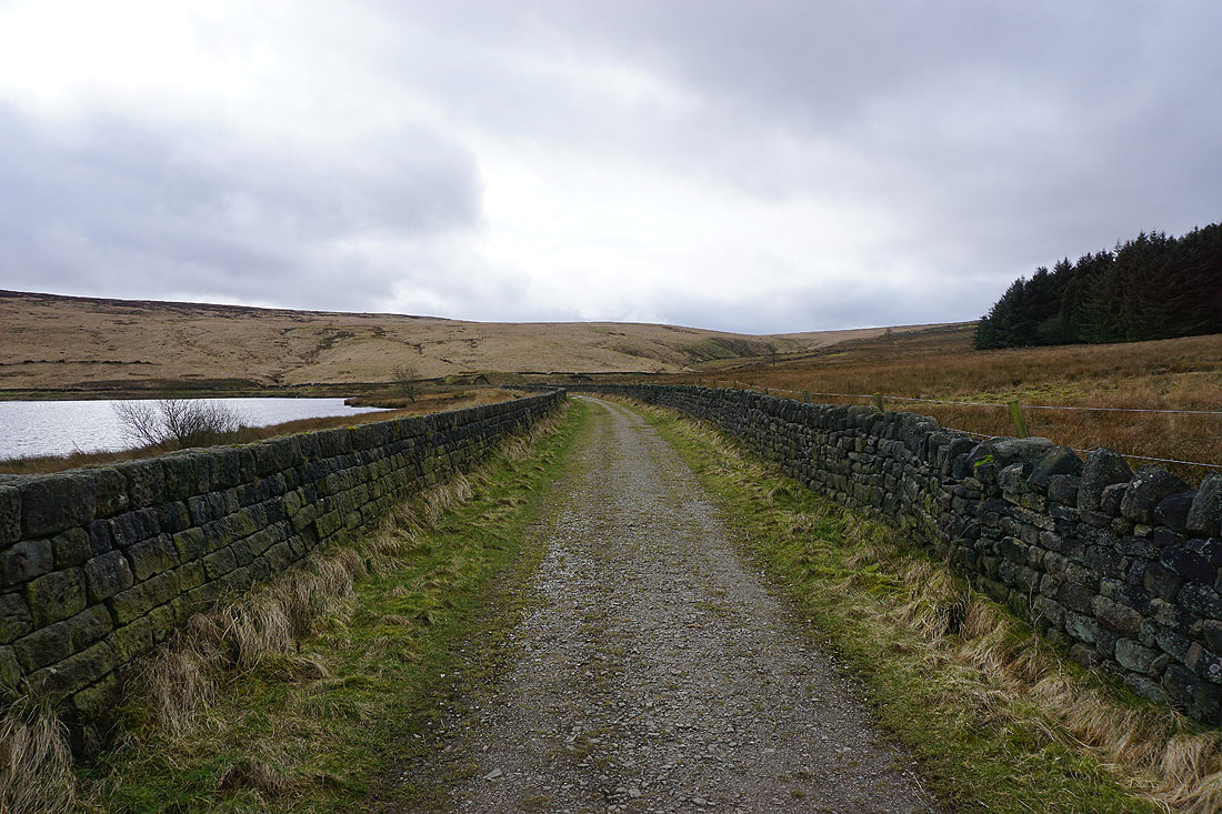
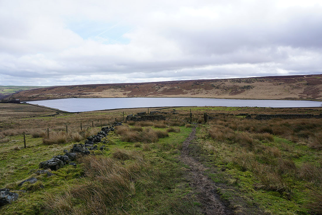
Making my way round the reservoir..
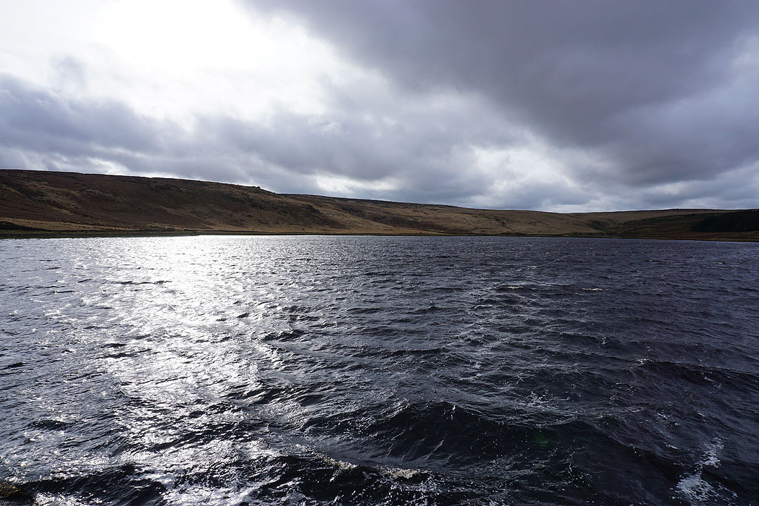
..to take in the view from its dam
Looking down Withens Clough to Cragg Vale
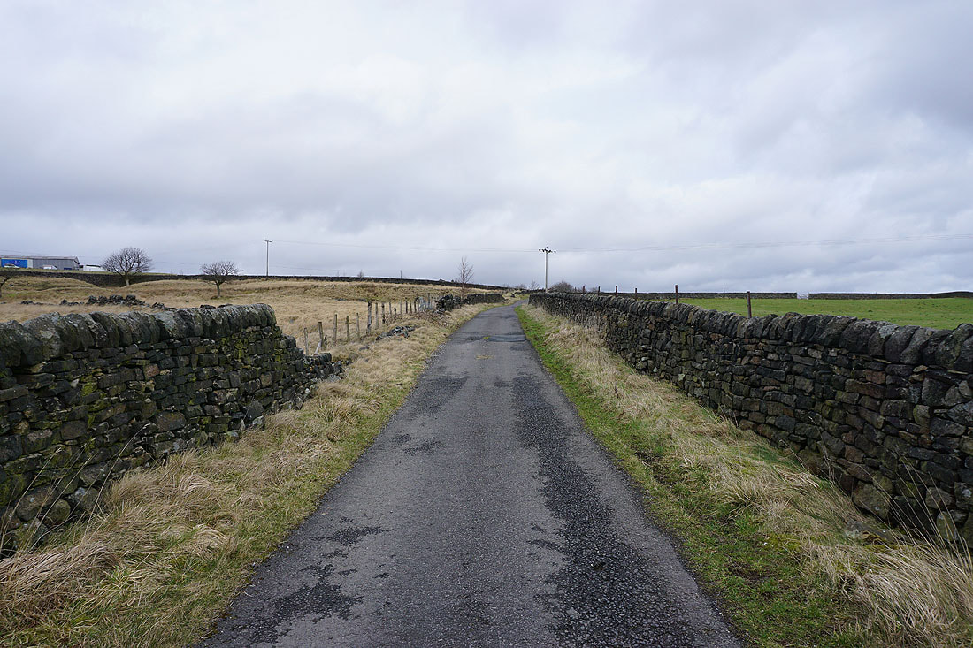
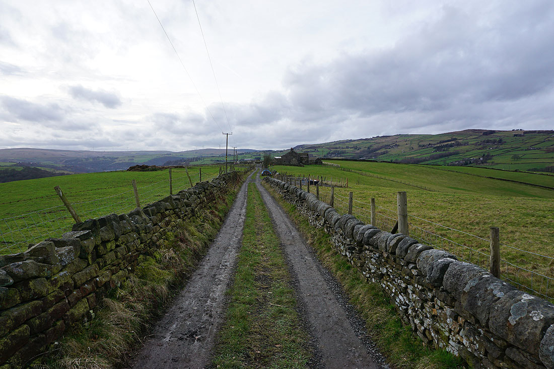
From Withen Clough Reservoir I walk up Withens Lane and Stony Royd Lane to Stony Royd Farm
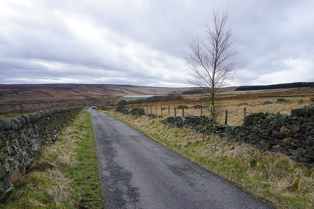
Looking back down Stony Royd Lane to Withens Clough Reservoir
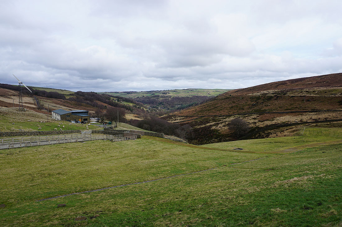
At Stony Royd Farm
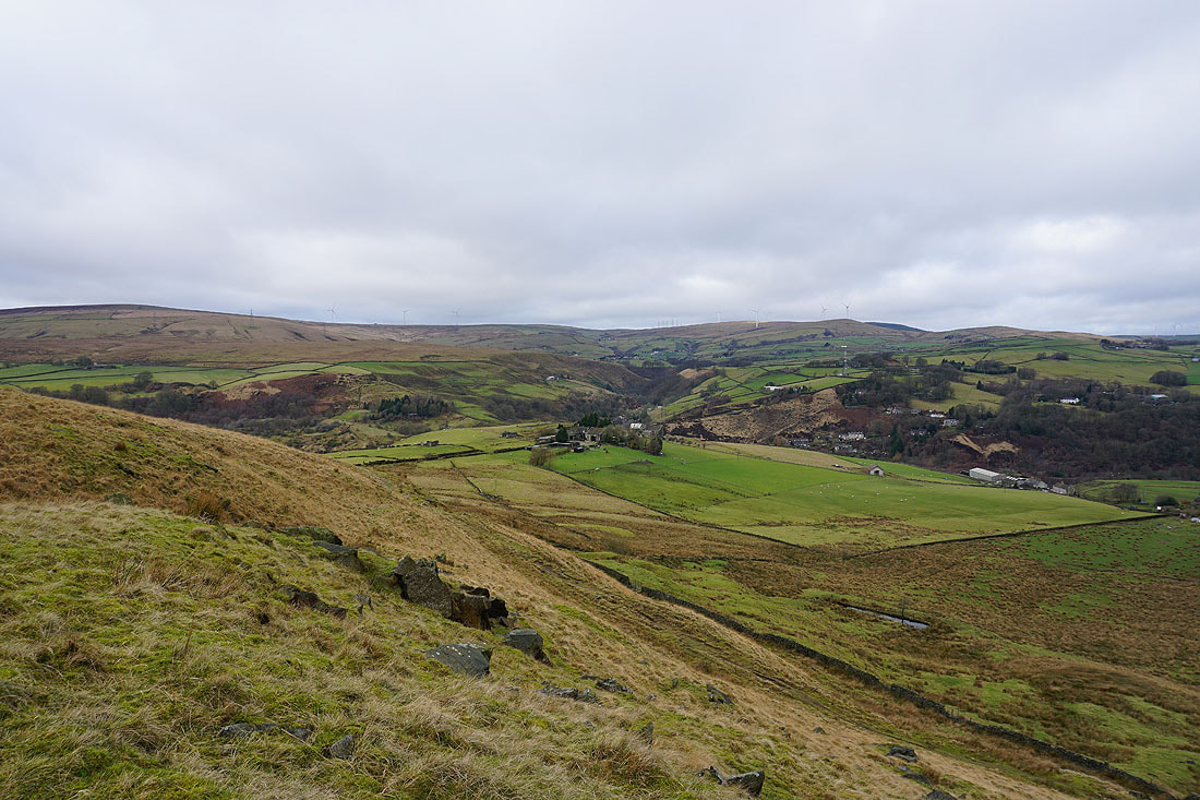
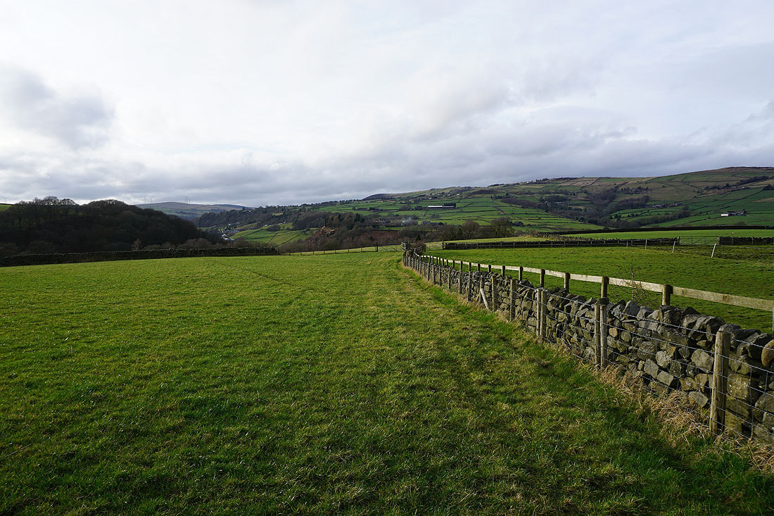
Looking across Cragg Vale to Crow Hill from the eastern end of Bell House Moor
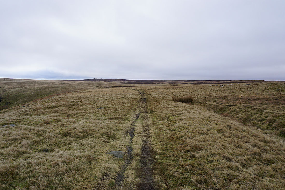
Heading north across Bell House Moor
To my right I get a view down Broadhead Clough to Cragg Vale and Mytholmroyd in Calderdale
Looking across Erringden Moor to the moorland around Hebden Bridge
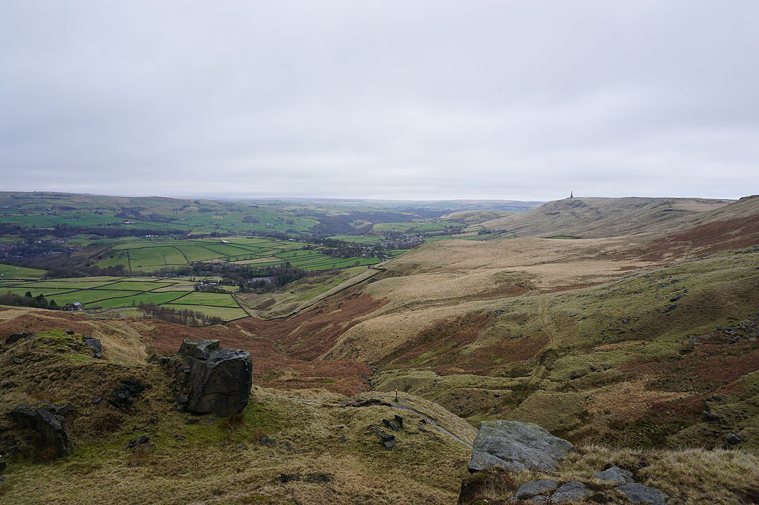
Stoodley Pike from the northern end of Bell House Moor
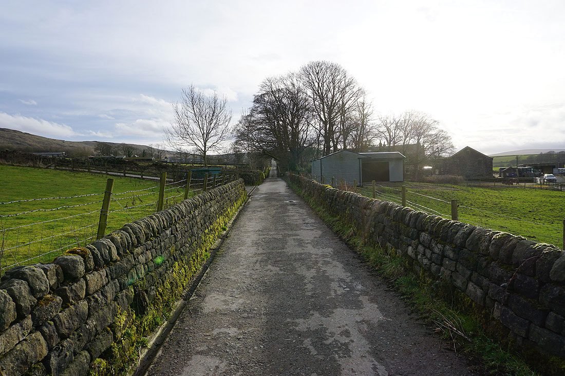
Having descended from Bell House Moor to Kilnshaw Farm, heading south along Kilnshaw Lane
From Kilnshaw Lane I take the Pennine Bridleway towards Lower Rough Head
and then I'm briefly on the Pennine Way..
..before taking the footpath along the side of Lodge Hill down to Height Gate Farm..
Looking towards Todmorden from above Height Gate Farm
Heading for Height Farm
|
|
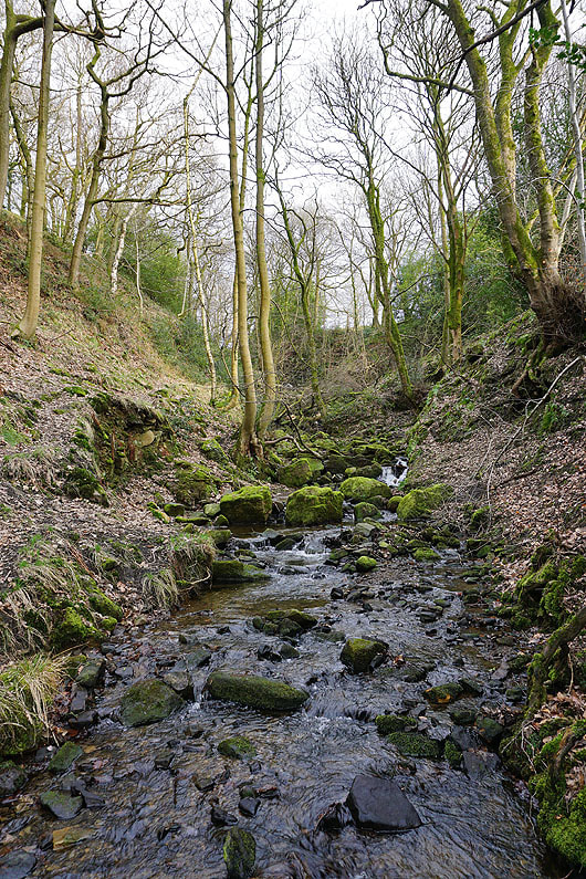
and having descended from Height Farm, crossing the ford on the bridleway to Middle Stoodley House..
On the bridleway to Higher Stoodley Farm
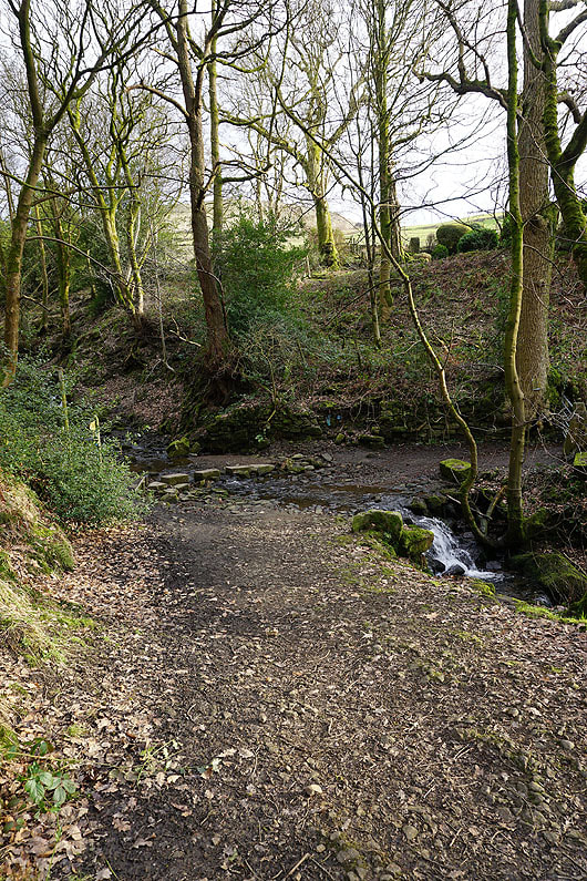
On the footpath down into Shaw Wood
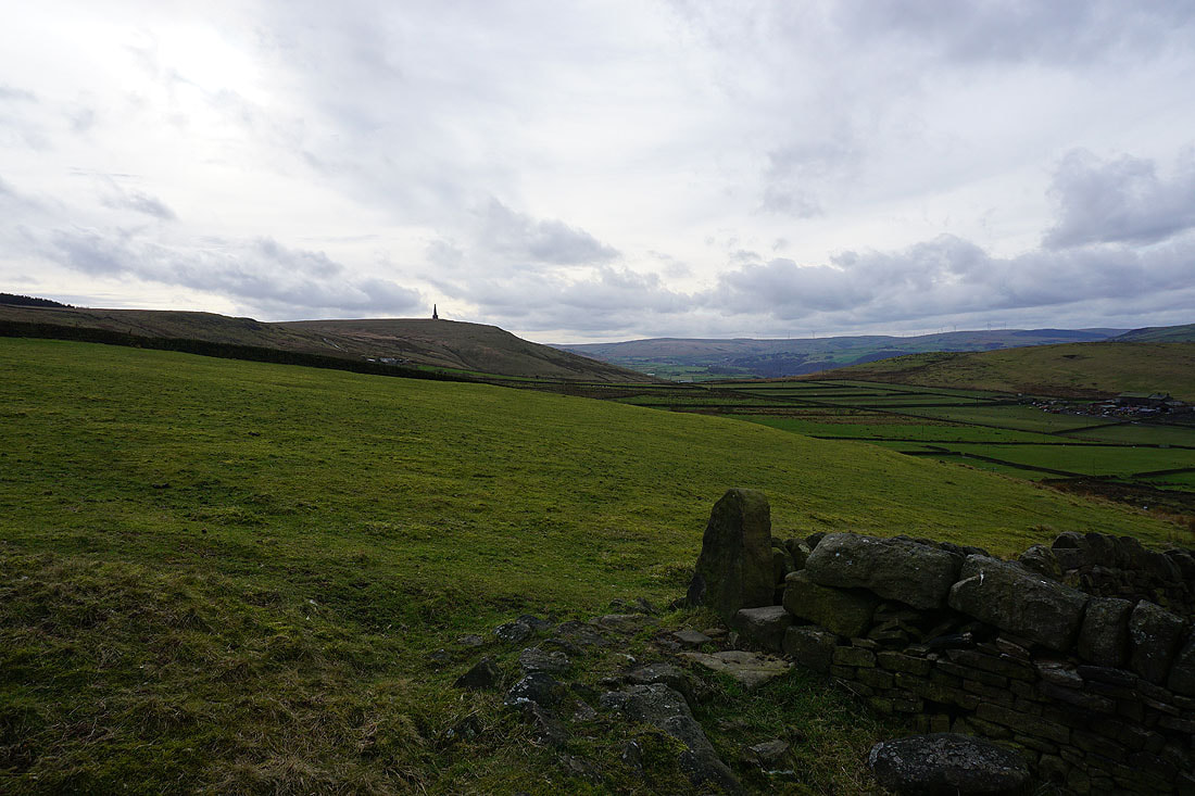
Looking back to Stoodley Pike
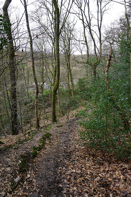
Descending through Shaw Wood
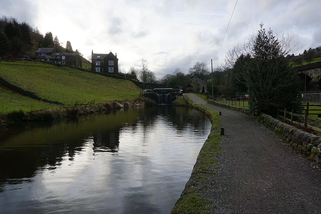
On the canal towpath to Crofton Lock No. 59 and Haugh Road