19th January 2008 - High Street
Walk Details
Distance walked: 8.9 miles
Total ascent: 3192 ft
OS map used: OL5 - The English Lakes, North-eastern area
Time taken: 5.5 hrs
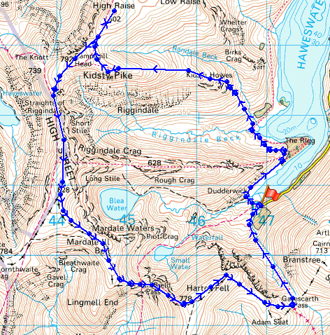
Route description: Mardale Head-The Rigg-Riggindale-Kidsty Howes-Kidsty Pike-High Raise-Rampsgill Head-High Street-Mardale Ill Bell-Nan Bield Pass-Harter Fell-Gatescarth Pass-Mardale Head
I've done this walk from Mardale Head several times now and it's one of my favourites in the far eastern fells.
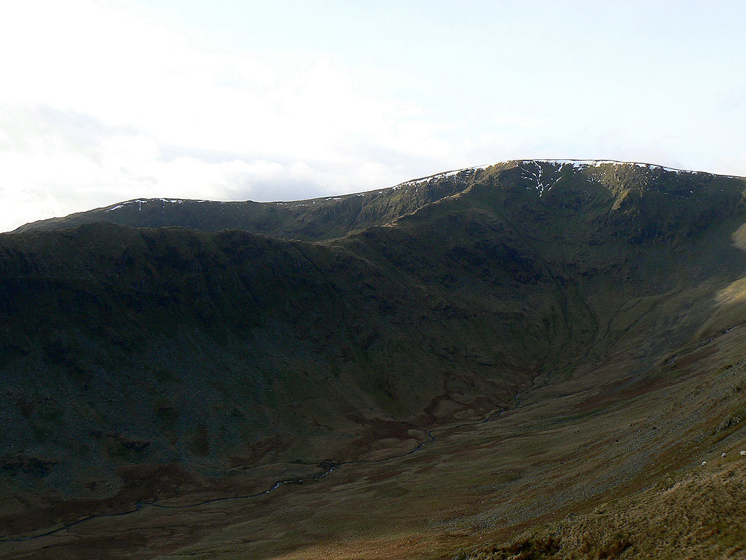
Kidsty Pike, High Raise, Rampsgill Head, High Street and Harter Fell from Mardale Head.
Route map
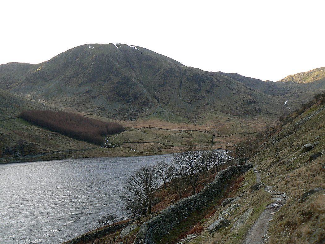
A look back at Harter Fell as I head for the Rigg
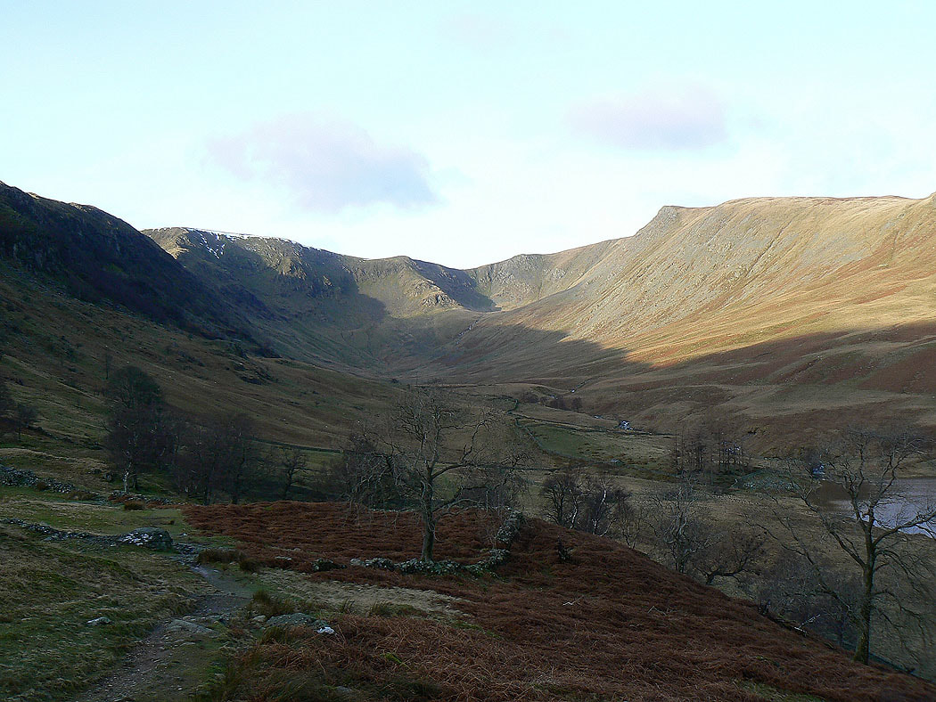
Riggindale ahead
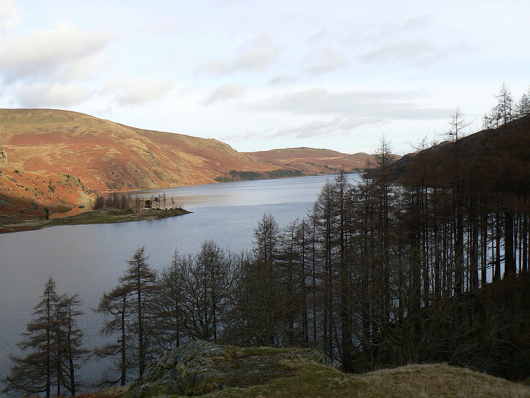
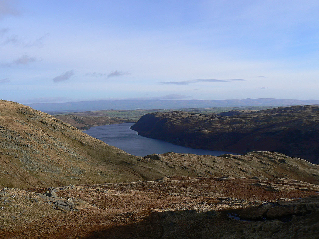
Haweswater
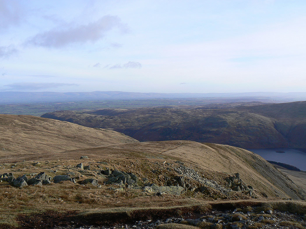
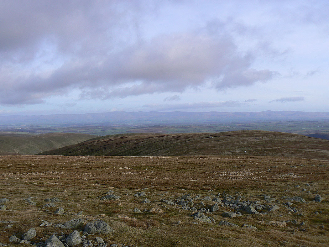
Heading up Kidsty Howes and the first view of the day across to the North Pennines
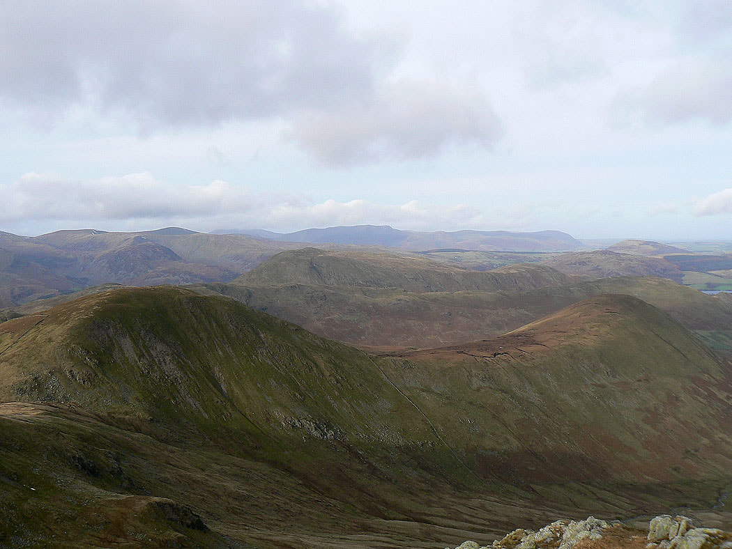
The ridge of Rough Crag heading up to High Street
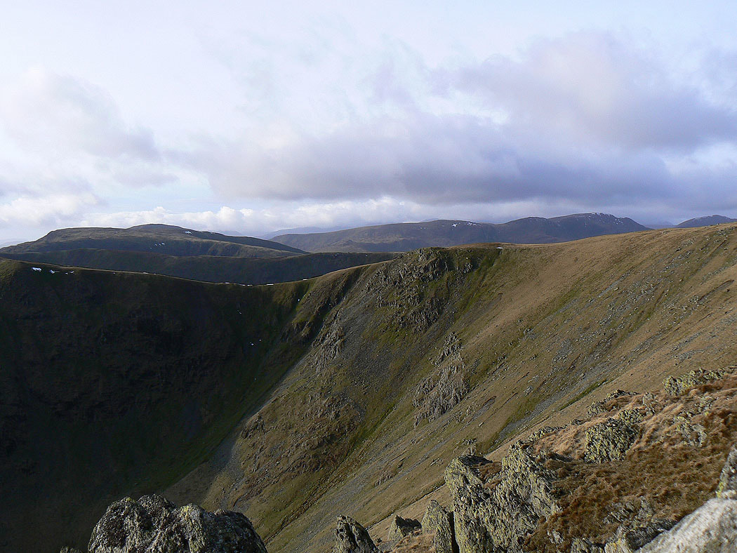
On the summit of Kidsty Pike looking across the Straits of Riggindale. Red Screes and Caudale Moor on the left with Dove Crag, Hart Crag and Fairfield on the right.
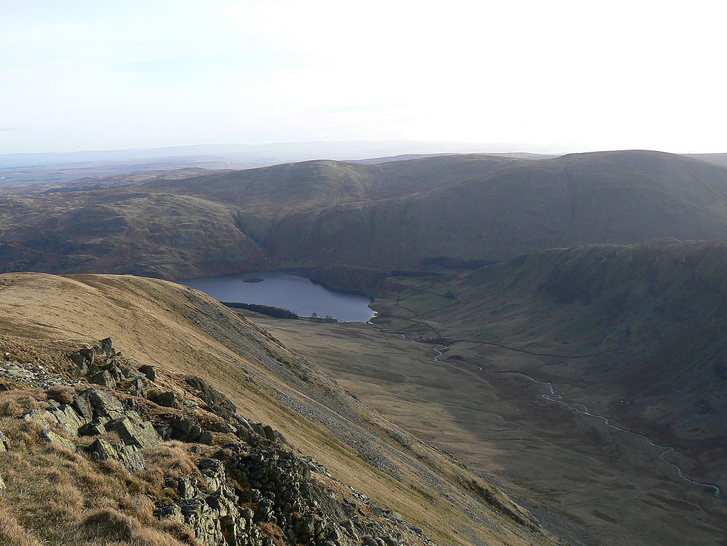
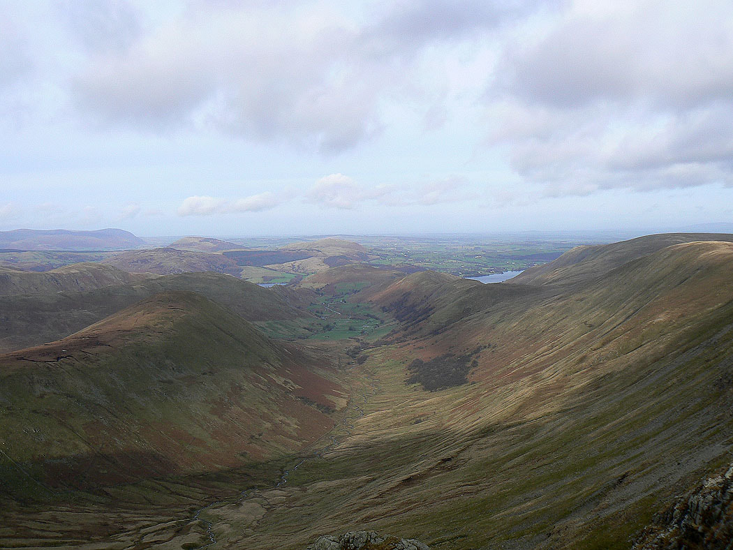
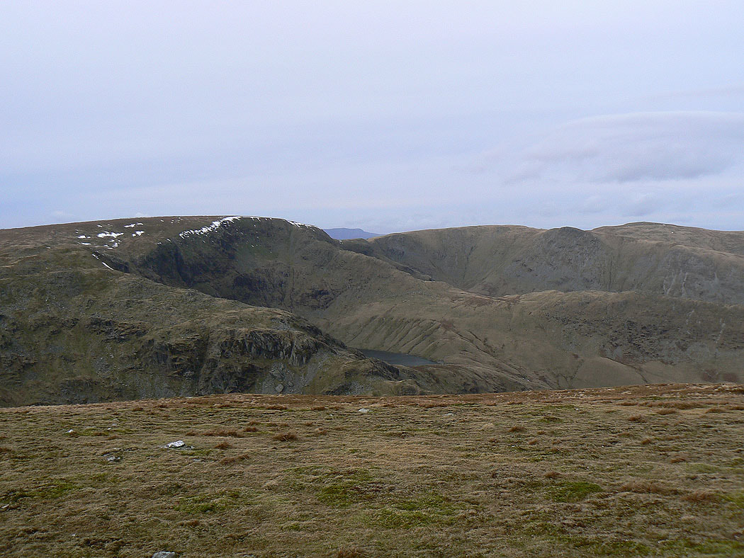
Riggindale with a bit of Haweswater below
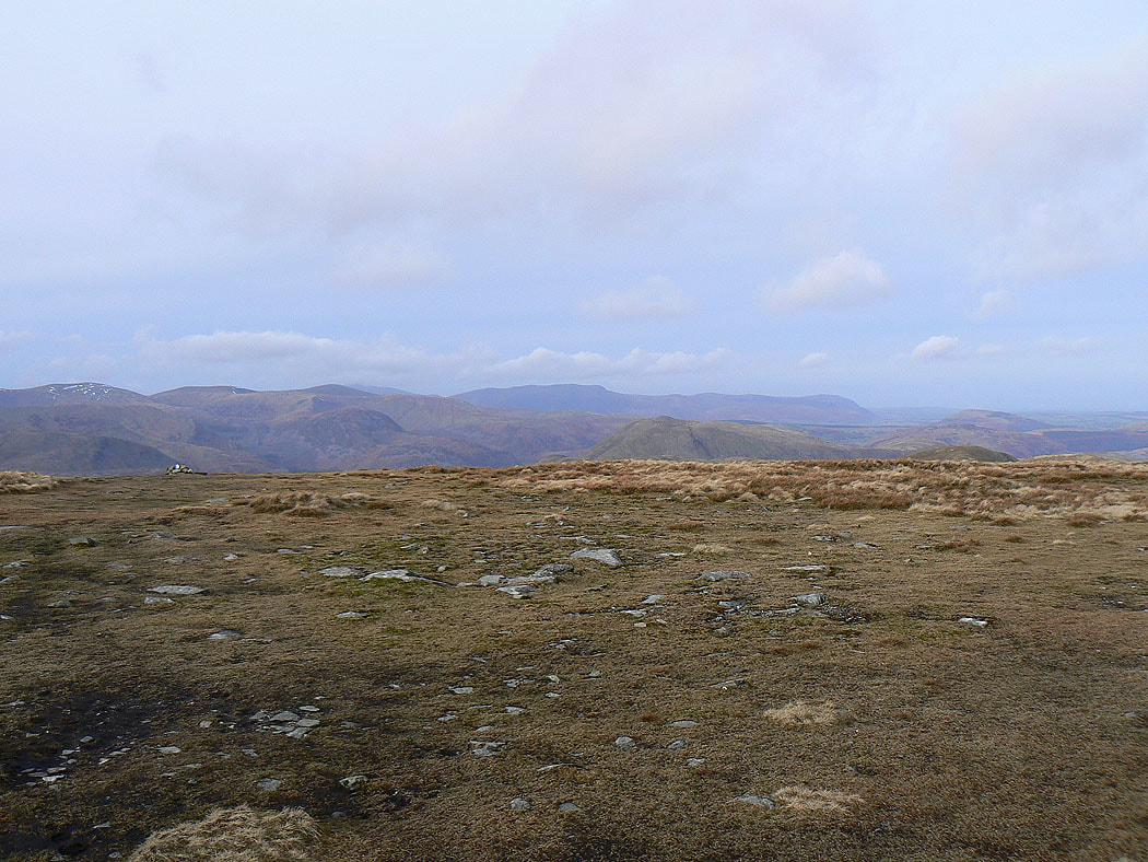
The Eden valley and the North Pennines in the far distance. The high point on the left is Mickle Fell.
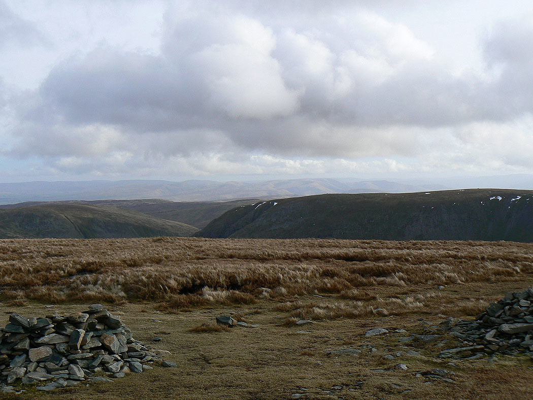
On the next summit of the day, High Raise. The ridge extends to the north towards Loadpot Hill.
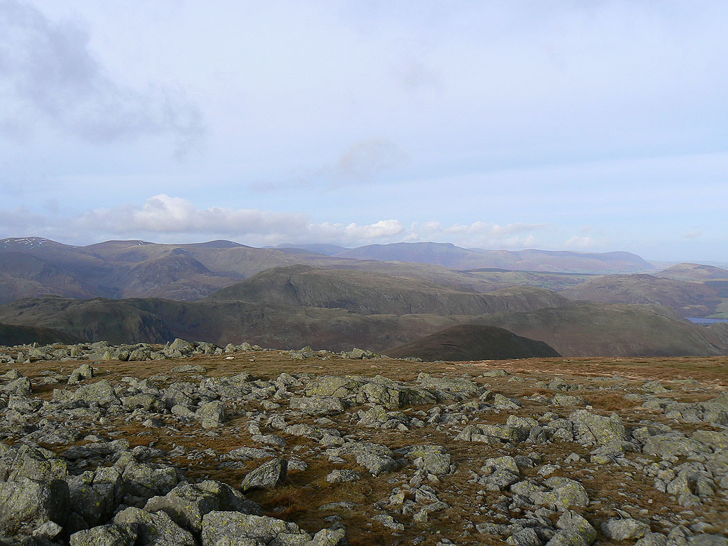
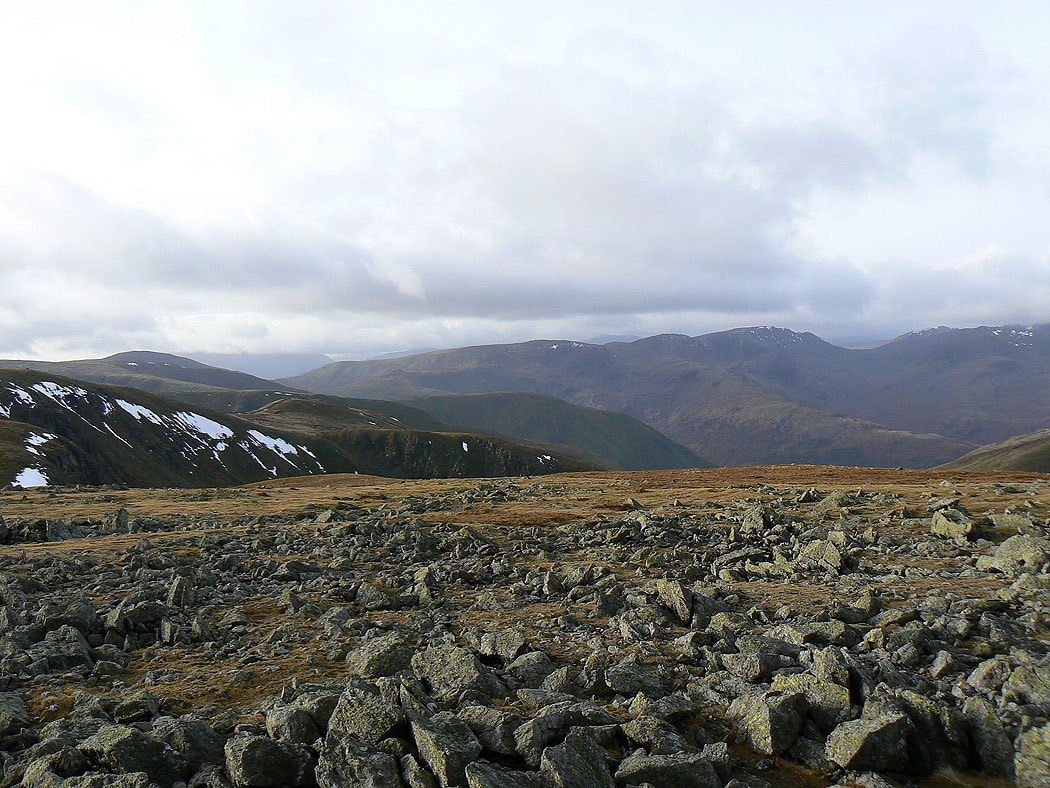
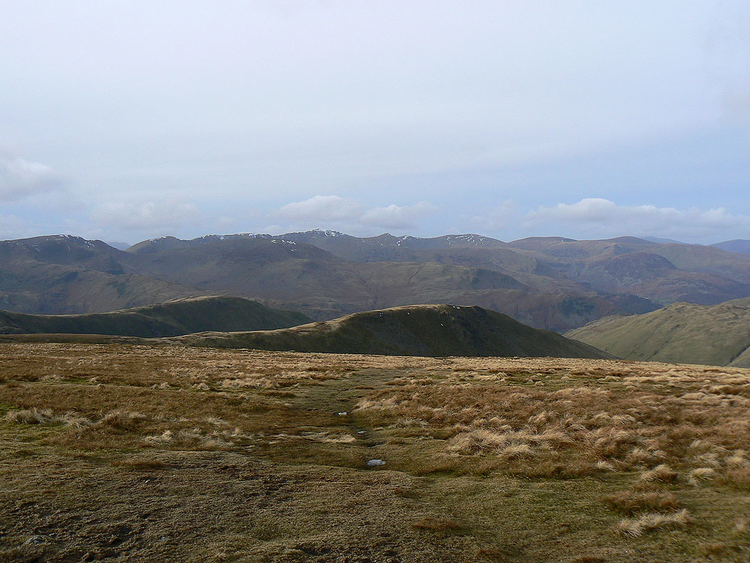
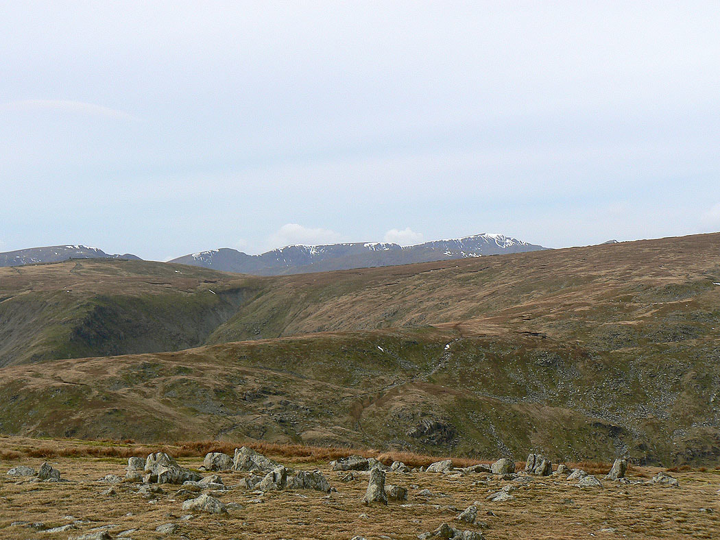
Helvellyn and the Dodds
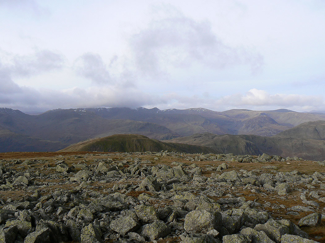
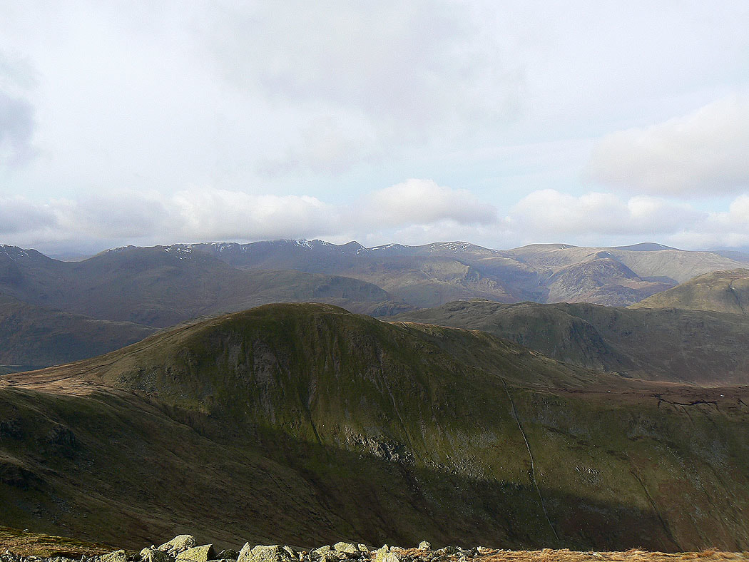
The Dodds, Skiddaw, Blencathra and Carrock Fell
Cross Fell and the North Pennines
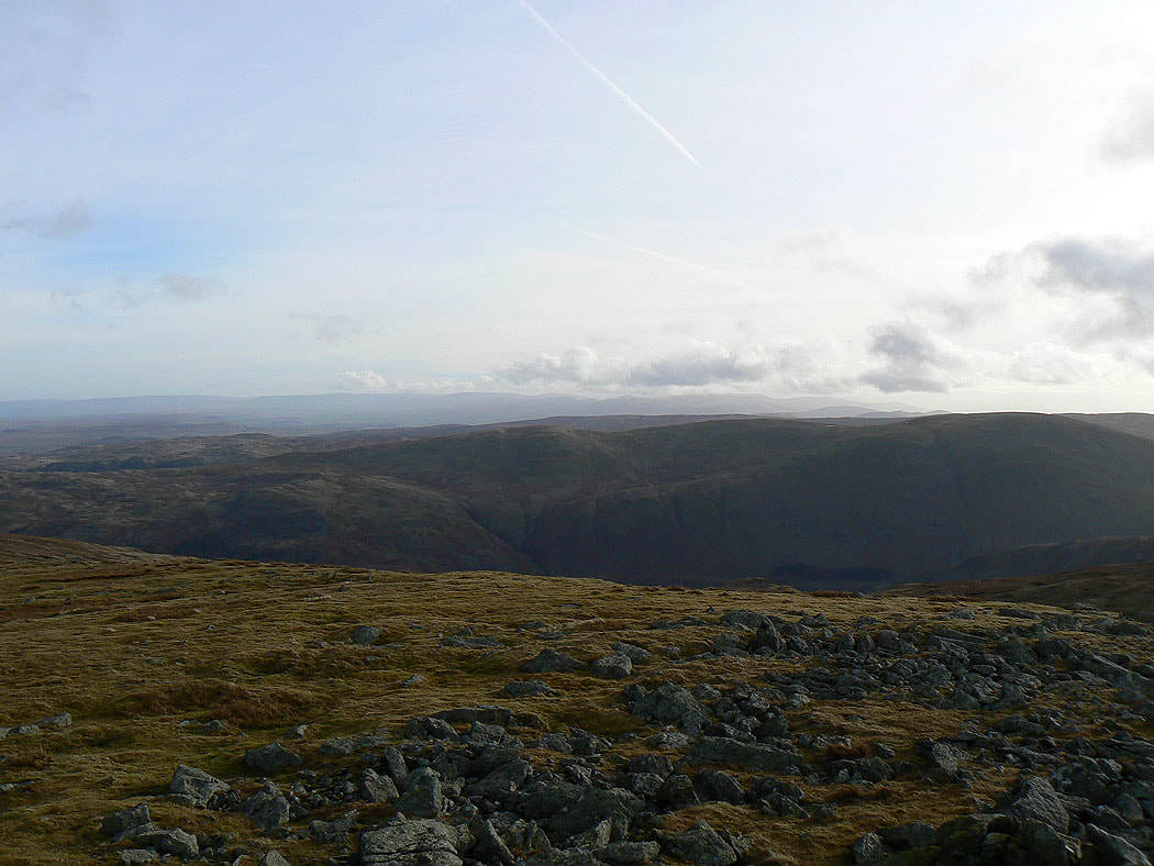
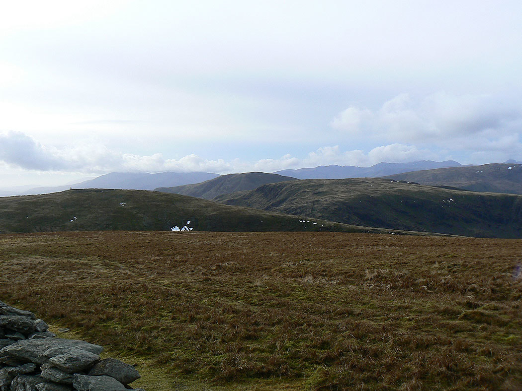
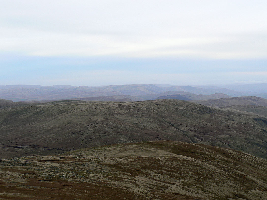
Beyond Selside Pike and Branstree there's some cloud on the Howgills
Red Screes, Dove Crag, Hart Crag and Fairfield
Rest Dodd in front of Helvellyn and the Dodds as I head for Rampsgill Head
The view down Ramps Gill to Martindale
The Dodds, Skiddaw, Blencathra and Carrock Fell with Rest Dodd and The Nab in the foreground
Helvellyn and the Dodds from Rampsgill Head
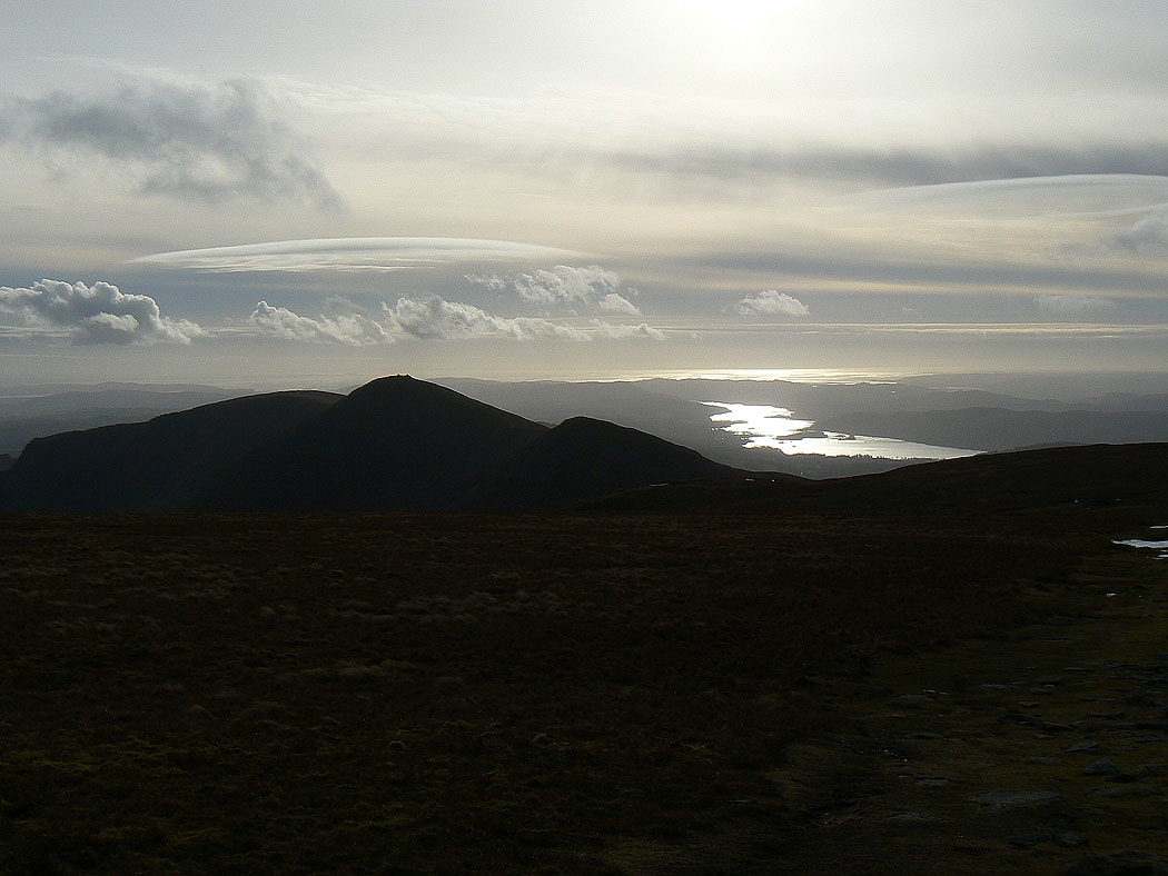
On the summit of High Street looking south to Morecambe Bay
The Dodds, Blencathra and Carrock Fell
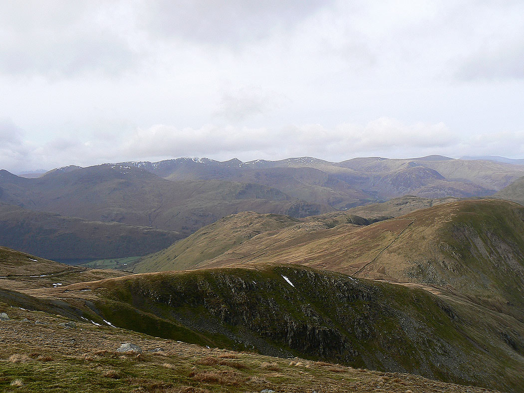
Fairfield, Helvellyn and the Dodds with Hartsop Dodd and Gray Crag in the foreground
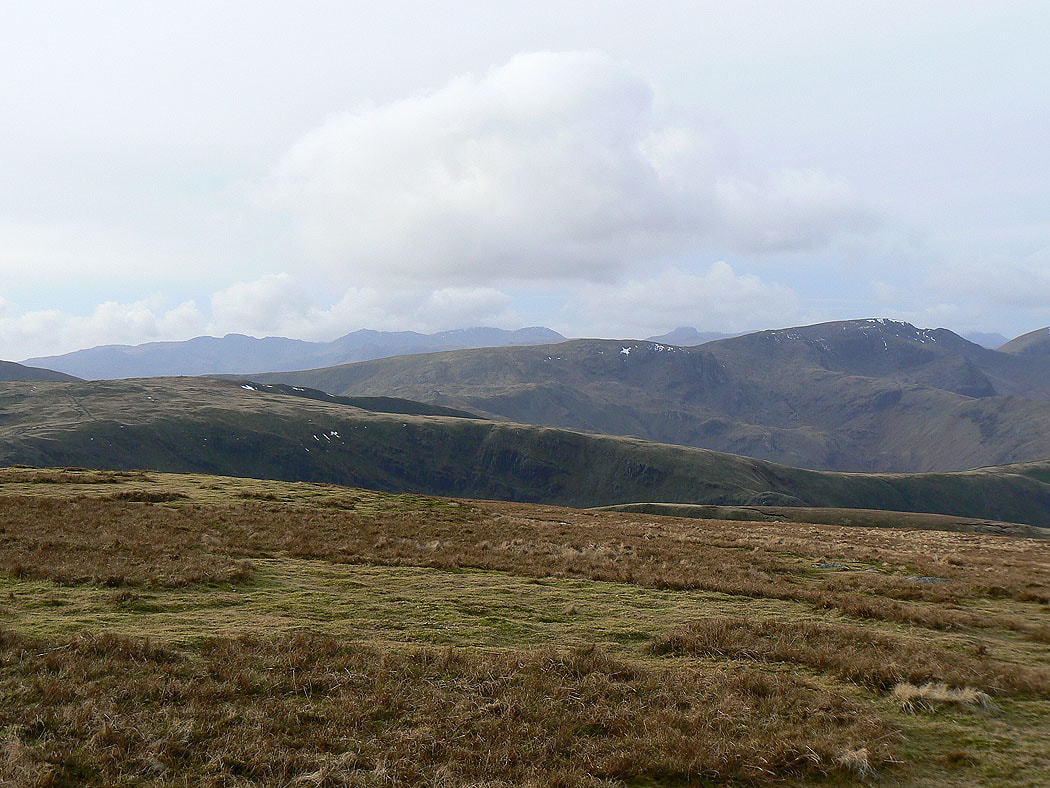
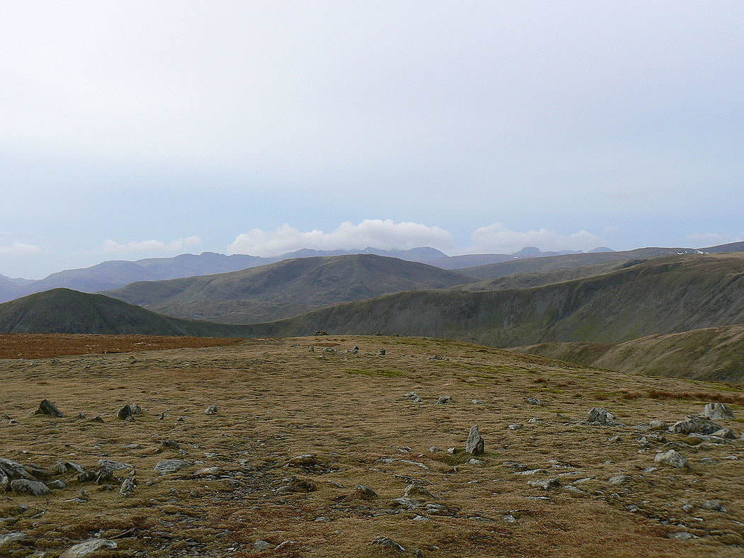
Dove Crag and Fairfield with the Crinkle Crags, Bowfell, the Scafells and Great Gable in the distance
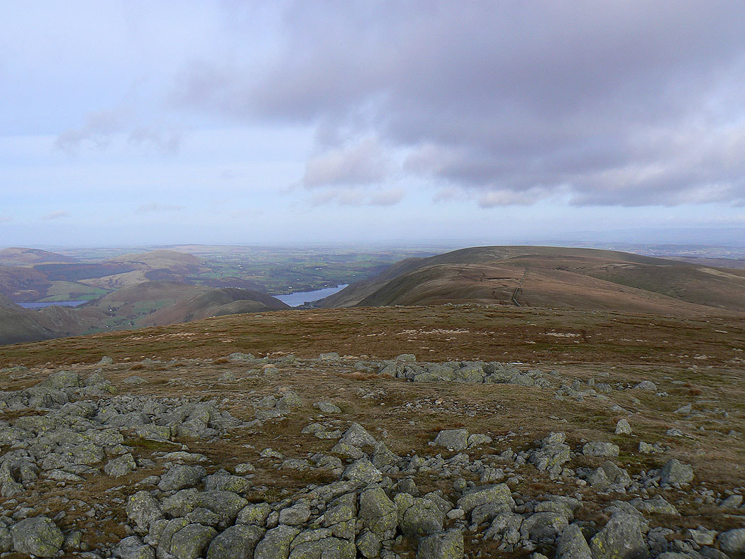
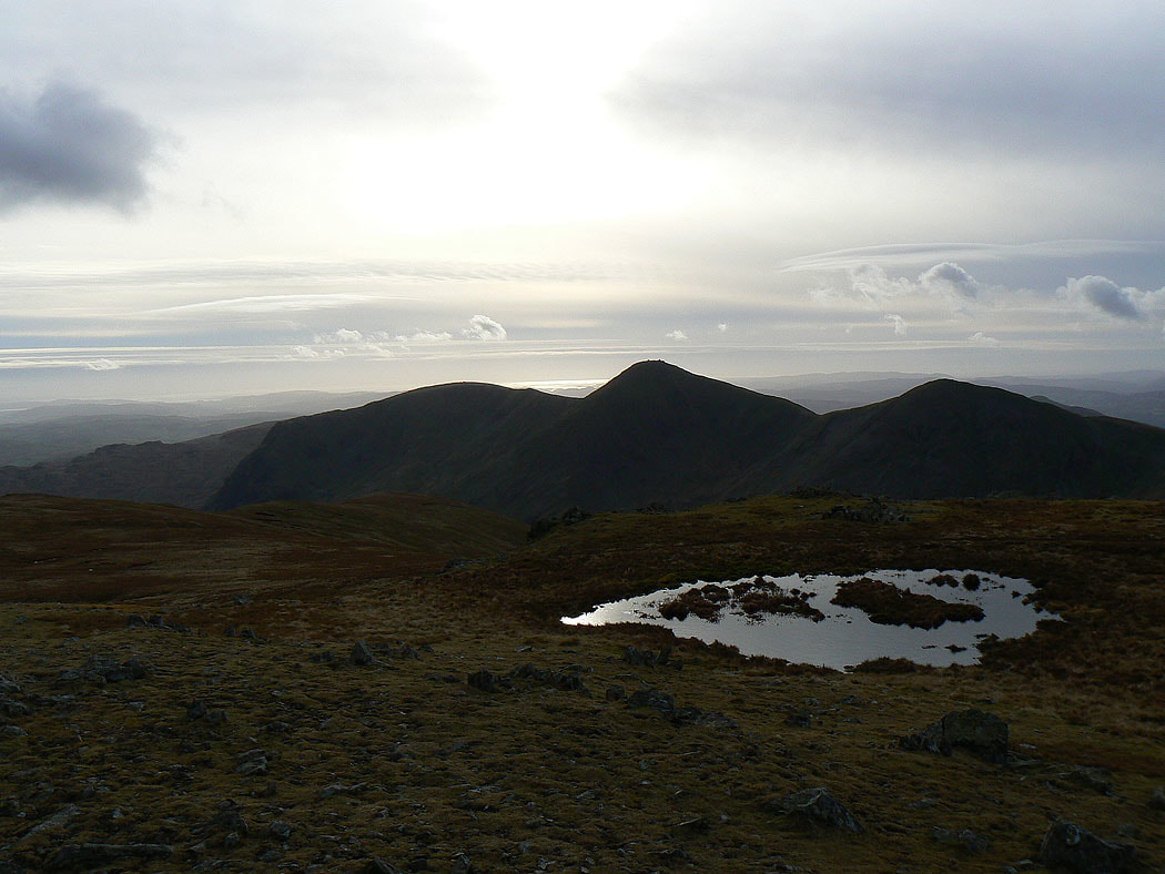
The Ill Bell ridge and Windermere
Thornthwaite Crag, Red Screes and Caudale Moor. In the background are the Coniston fells, Crinkle Crags, Bowfell and the Scafells.
The Howgills in the distance behind Harter Fell
The Ill Bell ridge as I pass over Mardale Ill Bell
High Street, Rampsgill Head, Kidsty Pike and High Raise from the last summit of the day, Harter Fell
Fairfield, Dollywagon Pike, Nethermost Pike and Helvellyn over Thornthwaite Crag and the shoulder of High Street
In the far distance, the Crinkle Crags, Bowfell, the Scafells, Great Gable and Pillar. Red Screes is in front of the Scafells with Froswick and the Ill Bell ridge in the foreground.
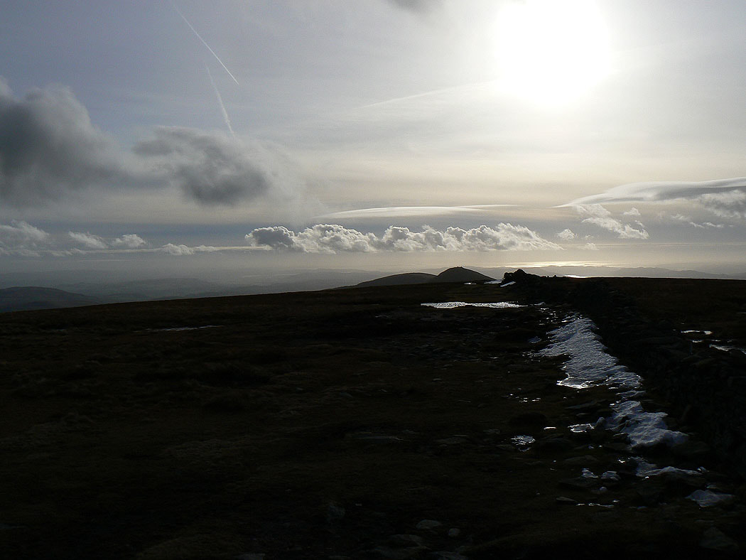
The last shot of the day is of the Howgills in the distance beyond the Shap Fells
