19th January 2014 - The hills around Hayfield
Walk Details
Distance walked: 8.7 miles
Total ascent: 2340 ft
OS map used: OL1 - The Peak District, Dark Peak area
Time taken: 5 hrs
Route description: Bowden Bridge-Coldwell Clough-A624-Peep O Day-Hills Farm-Ollersett-Birch Vale-Pennine Bridleway-Lantern Pike-Pennine Bridleway-Little Hayfield-Middle Moor-Kinder Road-Bowden Bridge
My Dad joined me for todays walk in the Peak District. There were quite a few ups and downs involved as we took in some of the hills that surround the village of Hayfield. The weather was decidedly inclement when we set off with the cloud sitting on the hills but it was forecast to improve. It took a while but it did and it turned into a nice afternoon.
From the National Park car park at Bowden Bridge we took the Pennine Bridleway up the valley above the River Sett and out to the A624. Across the road and more bridleways took us across the moorland of Ollersett and down to Birch Vale. We crossed the River Sett to pick up the Pennine Bridleway again for Lantern Pike. After having lunch on the summit our route back took us down into Little Hayfield and across Middle Moor to end up above Kinder Reservoir. A short walk took us back to the car park.
Route map
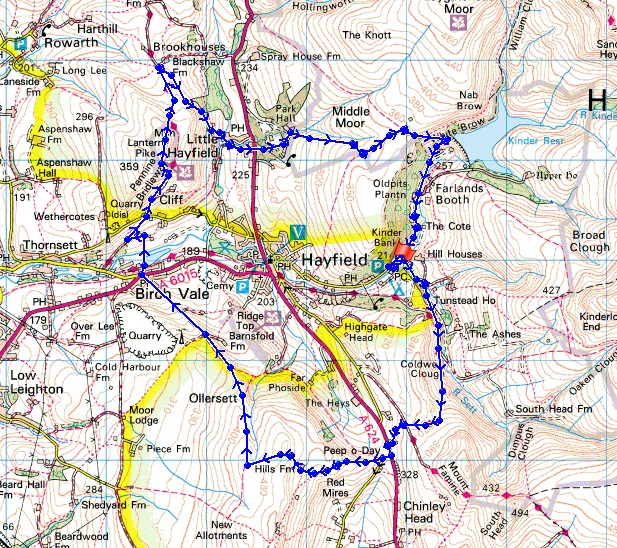
© Crown copyright. All rights reserved. License number PU 100034184.
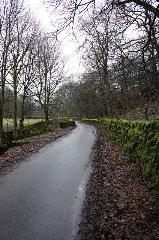
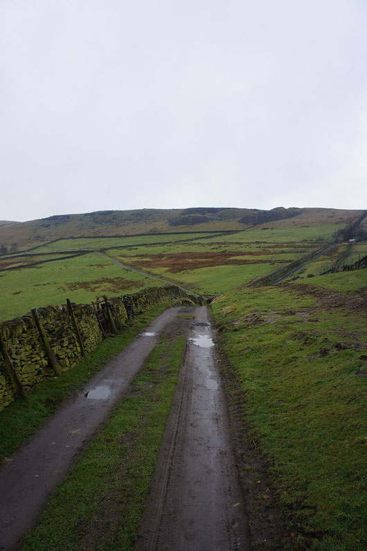
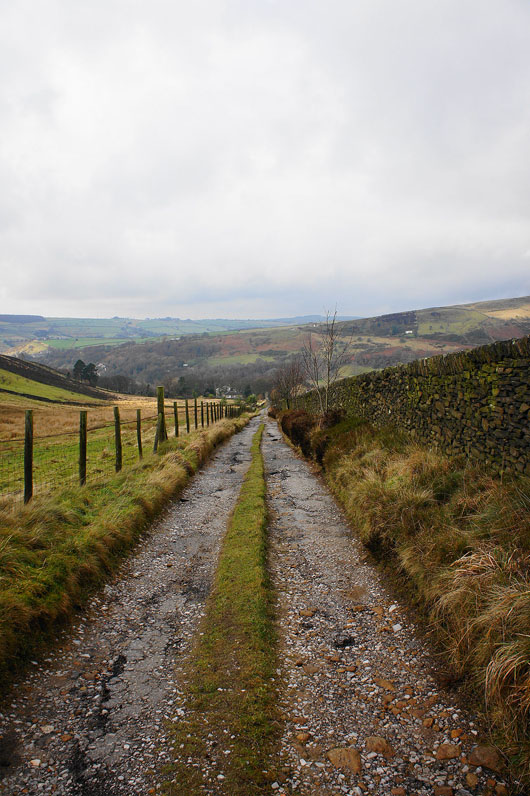
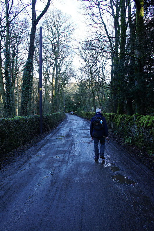
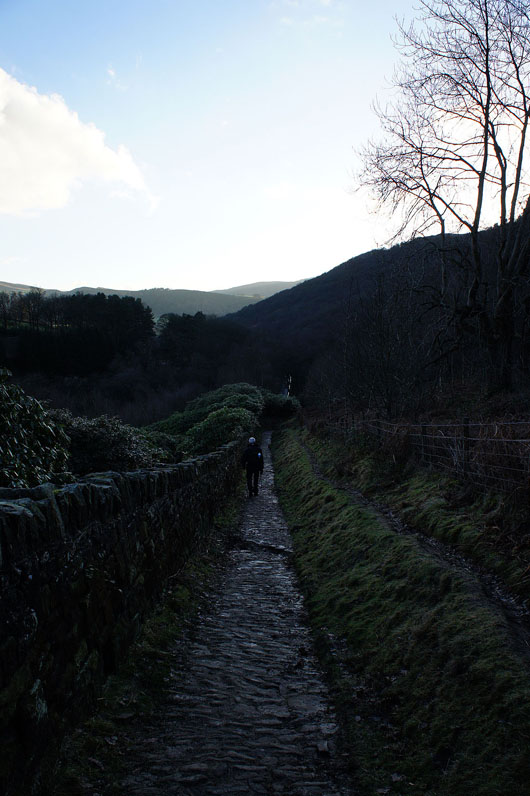
We've left Bowden Bridge to follow this lane above the River Sett
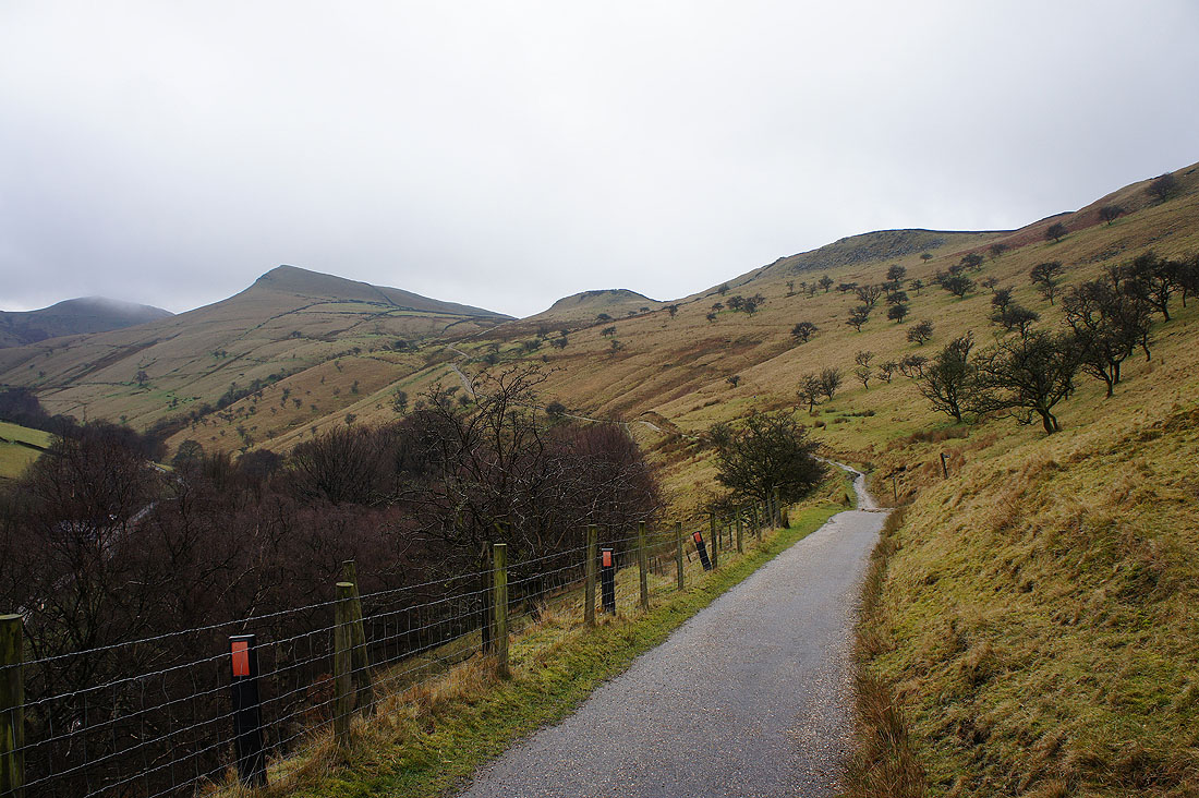
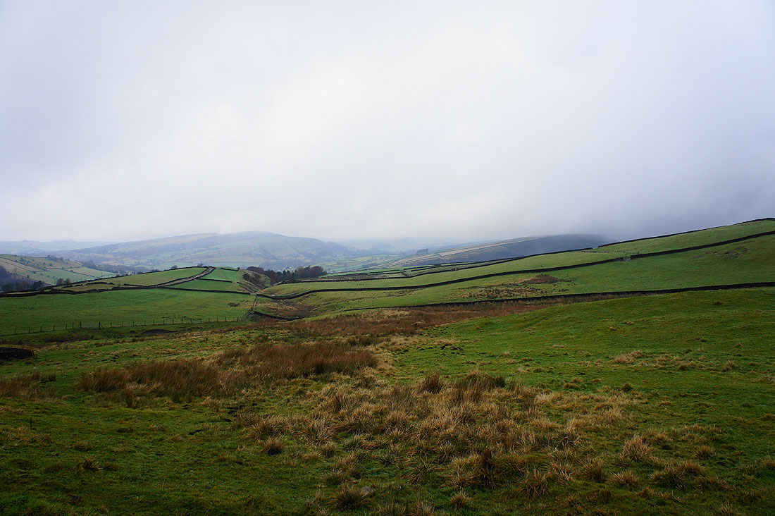
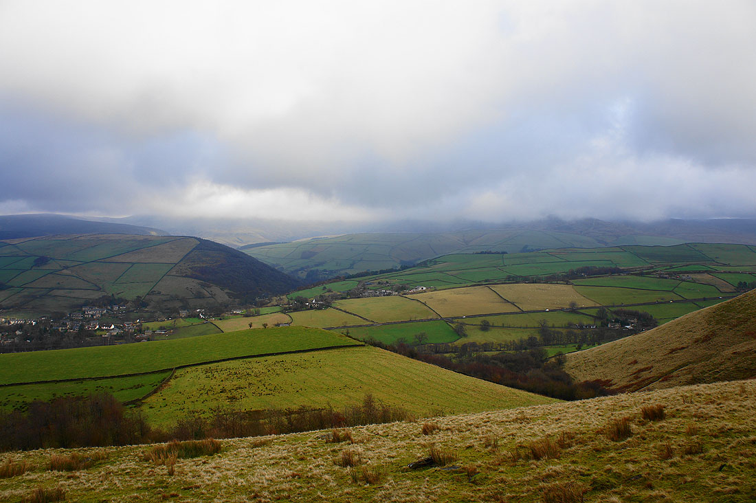
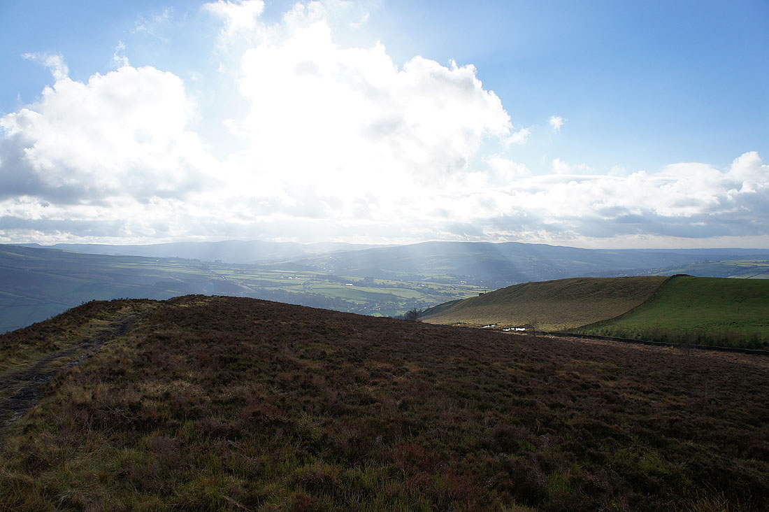
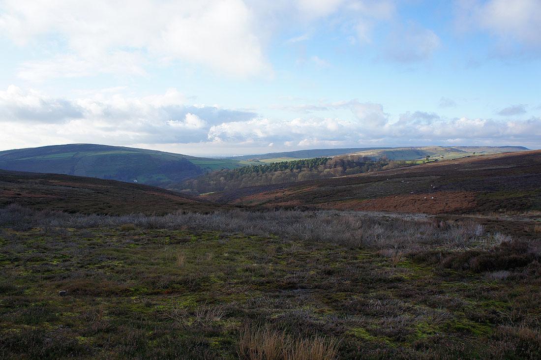
Higher up the valley and this bridleway heads for the col below Mount Famine. Mount Famine is the highest hill on the left with its head below the cloud. The hill just to its left is South Head.
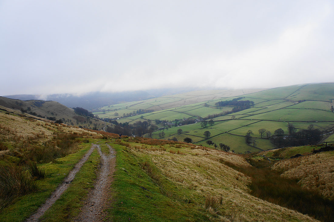
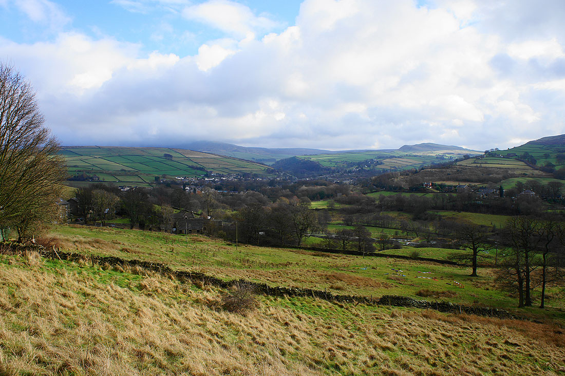
The Sett Valley below as we reach the top
and on the other side Lantern Pike is in the distance. We'll visit it later in the day.
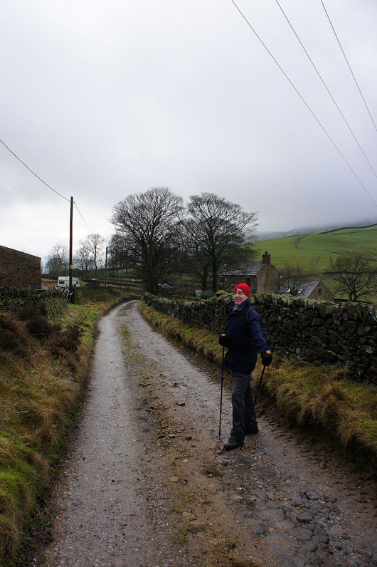
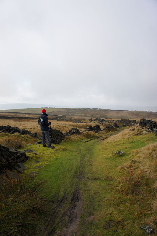
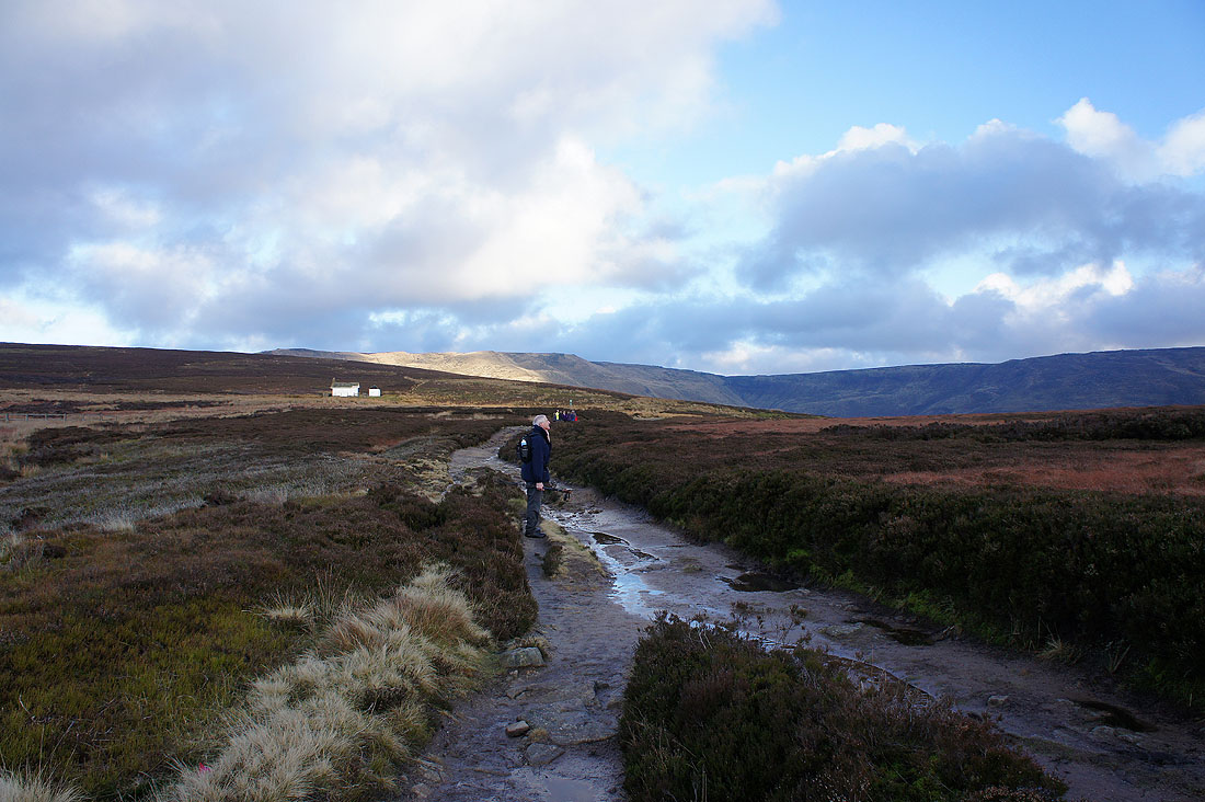
The bridleway will soon come to an end just ahead at the A624, Hayfield Road. My Dad looks like he's glad he joined me.
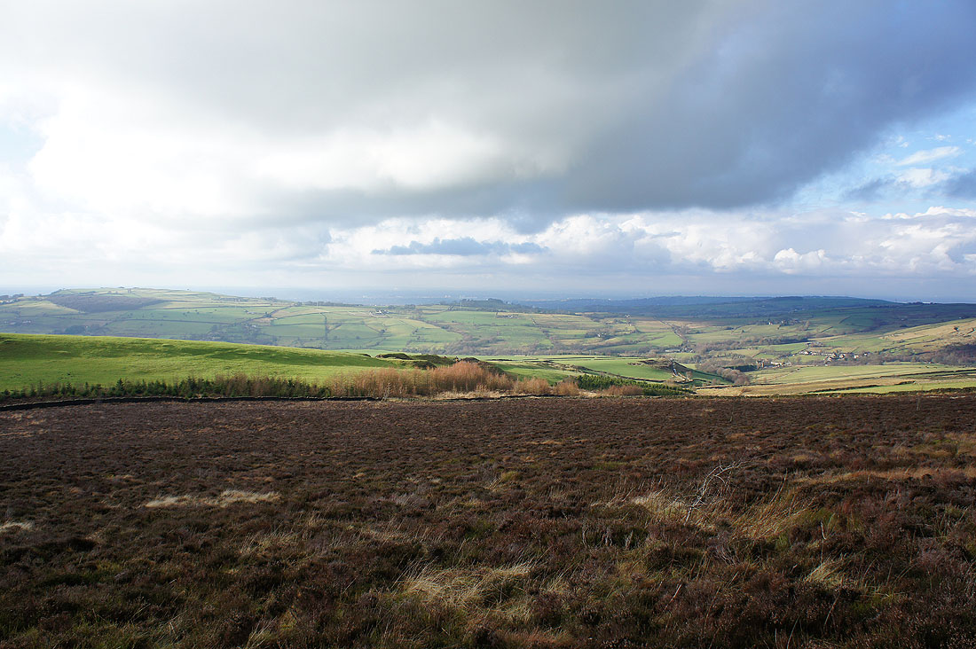
Across the road and on another bridleway that was almost directly opposite at the interestingly named Peep-O-Day. Looking towards Lantern Pike and Hayfield and there are definitely signs of it brightening up.
A bit further on and looking south towards Chapel-en-le-Frith
The path divides just ahead. We'll take the right hand one.
Hills Farm. Straight on and around behind the side of the building.
Up on the moorland to the north of Chinley Churn
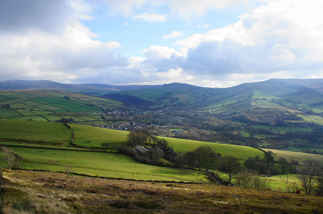
A couple of shots of the view as we start to head down. Lantern Pike and Hayfield.
The weather may be improving but Kinder Scout is still shrouded in cloud
On the bridleway down to Birch Vale
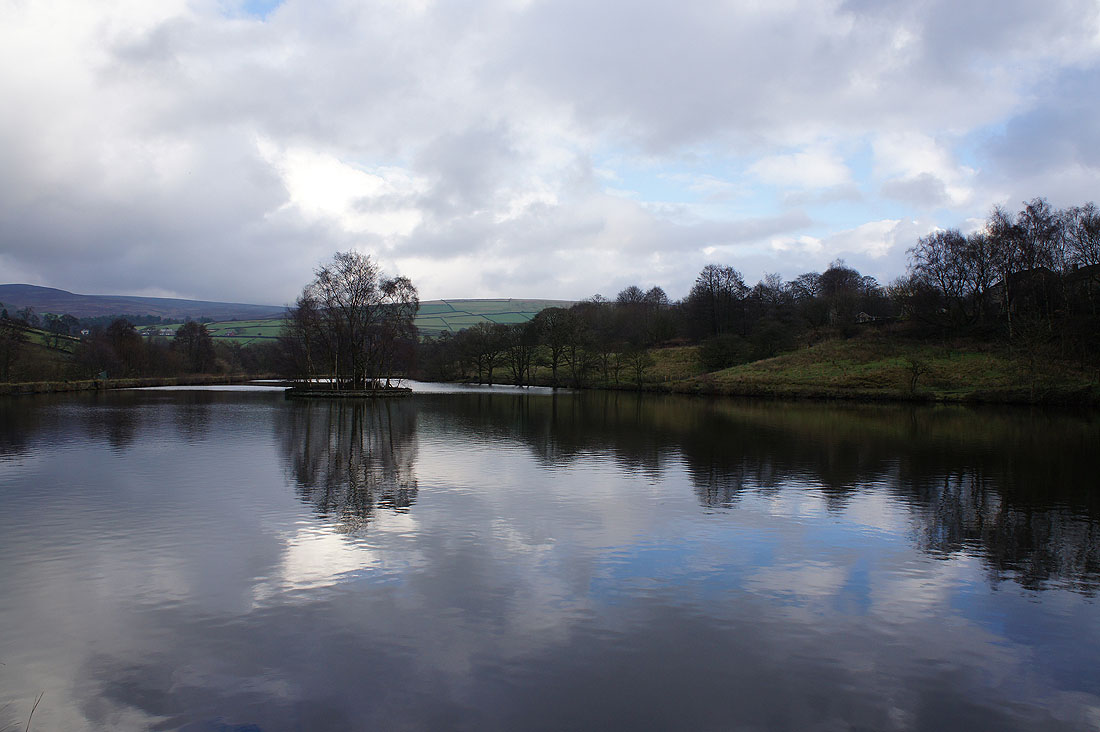
A fishing pond next to the River Sett
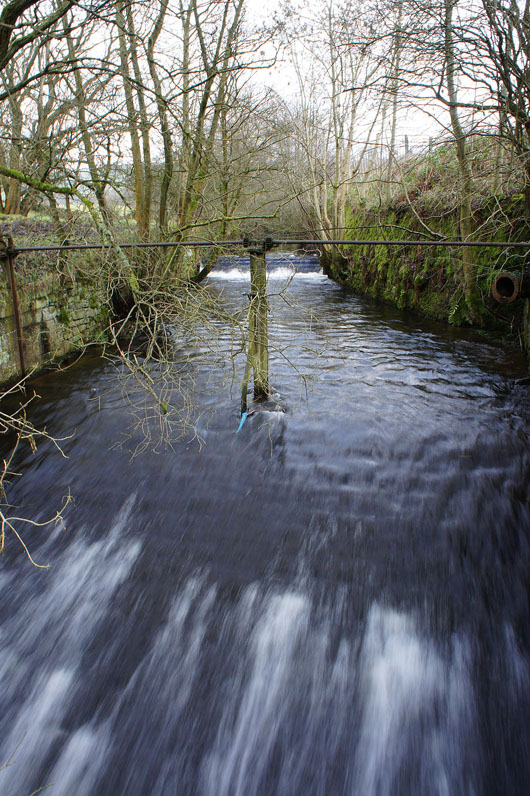
The River Sett. A slow shutter speed gives the water a streaky effect as it passes over a weir.
Having crossed the river we're heading up again to Lantern Pike. Hayfield and the Sett valley below.
An even better view taken on the way up
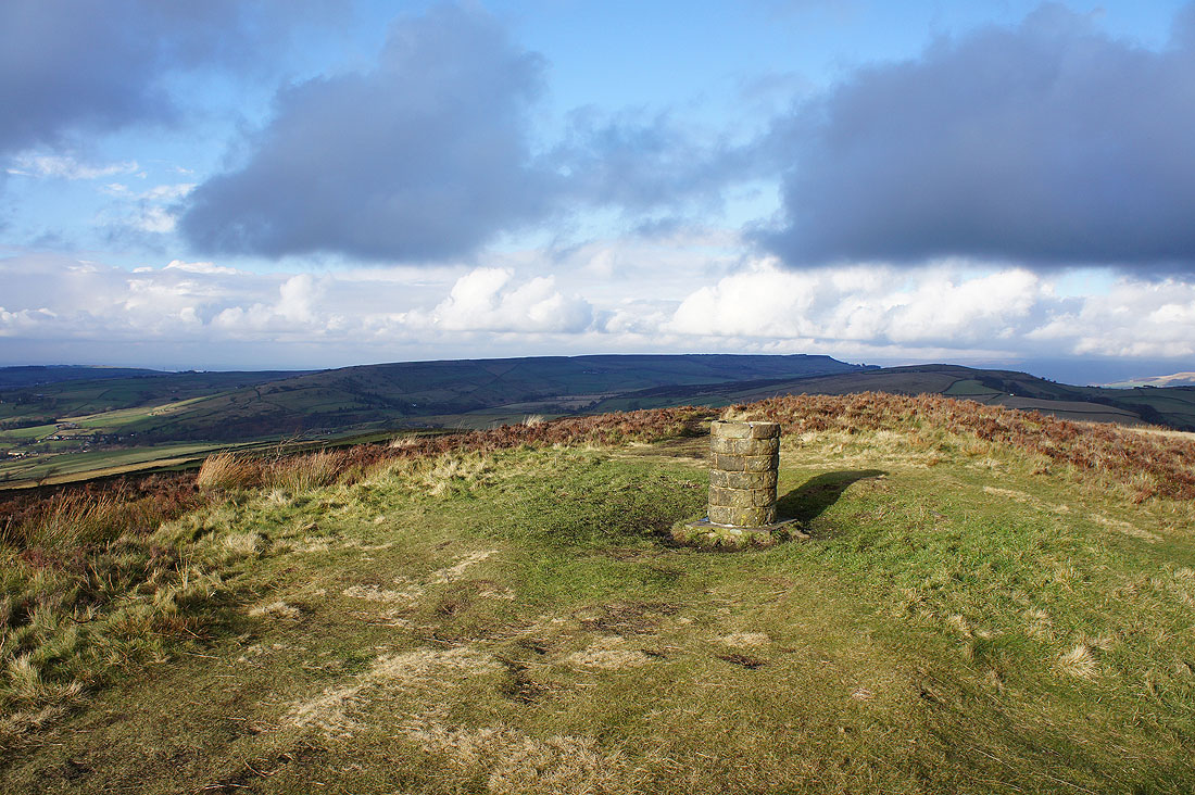
On the summit of Lantern Pike. The hills in the distance are Cown Edge and Matley Moor.
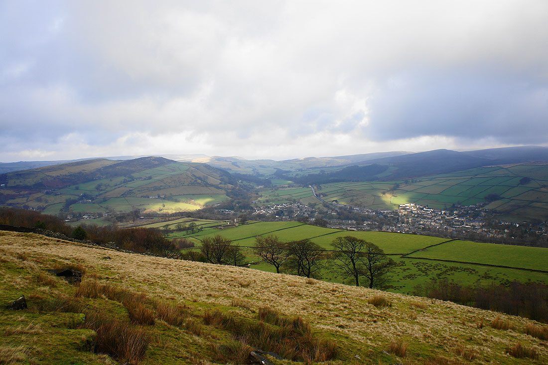
Hayfield with Mount Famine behind and Chinley Churn to the right
Looking to the south..
..and to the west
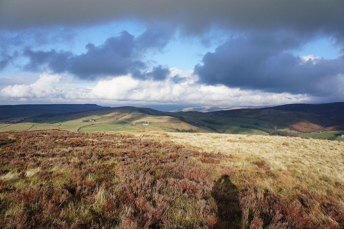
The dark hills in the far distance to the north are those around Longdendale
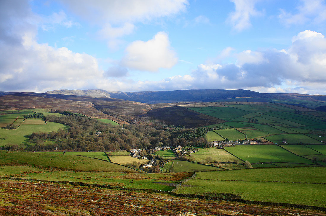
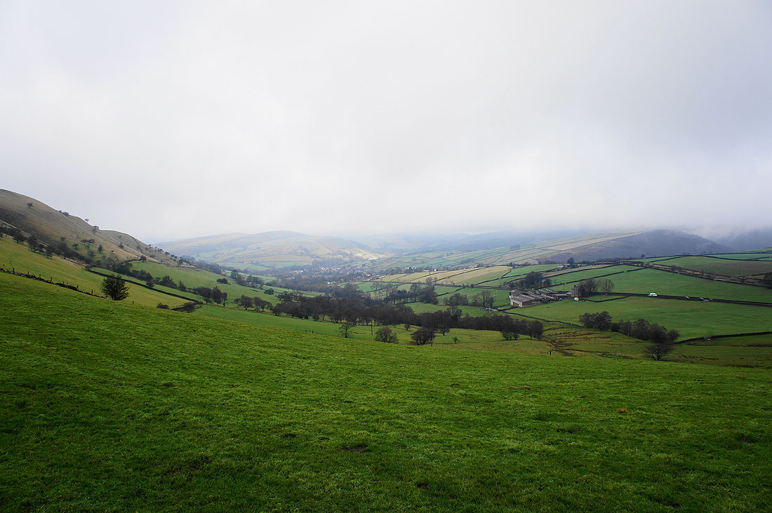
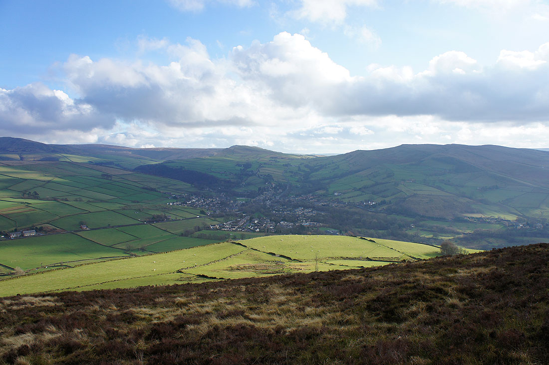
Little Hayfield below Middle Moor. The last bit of the walk will be across it. The cloud has finally cleared off Kinder Scout.
A last shot of Kinder Scout from the summit
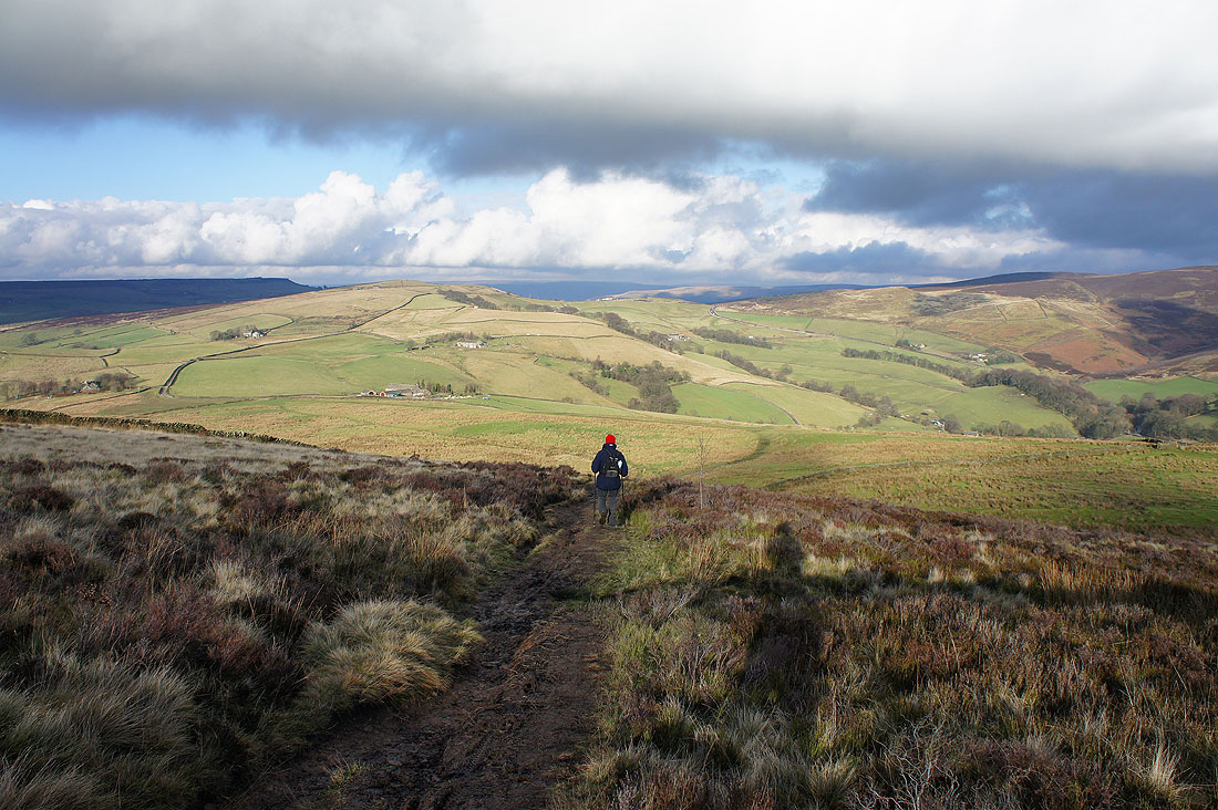
Heading down and we'll soon join the Pennine Bridleway and turn right for Little Hayfield
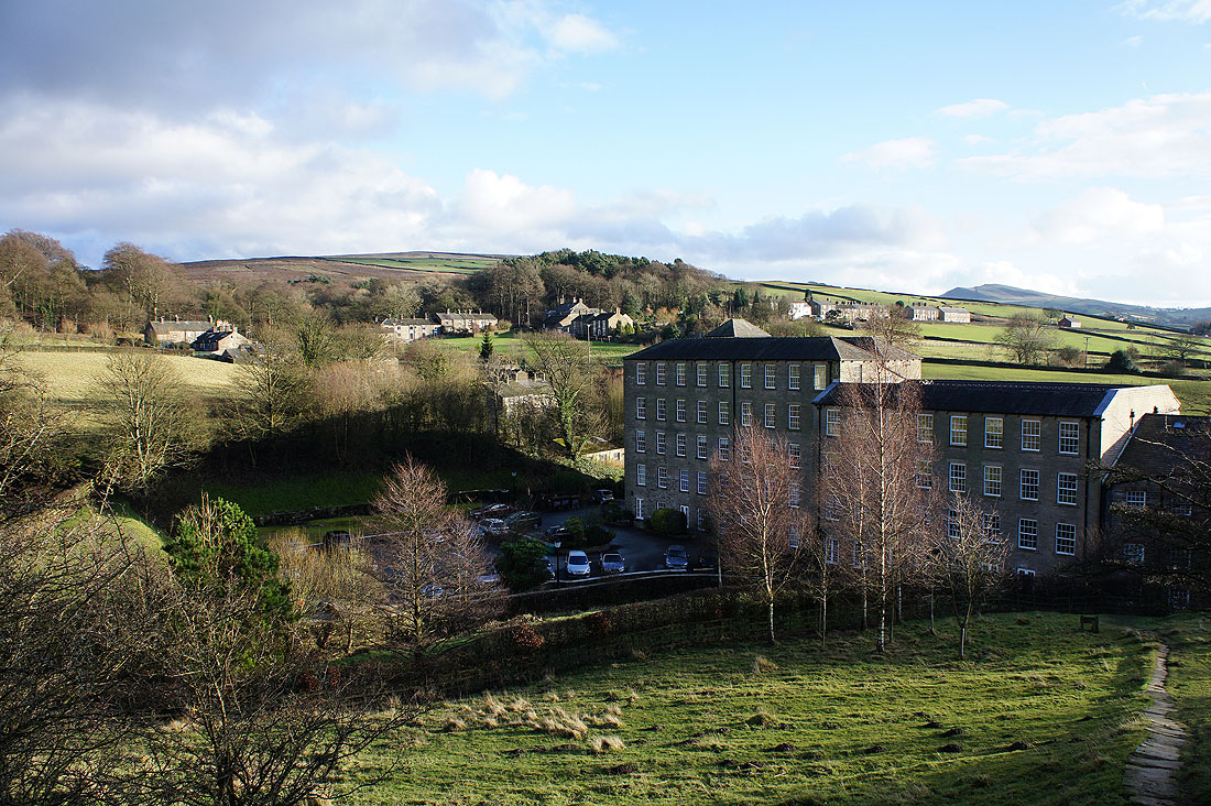
Little Hayfield
On the track into the Park Hall Estate and bound for Middle Moor
At the top of the climb up onto Middle Moor and a last chance to have a look back. That's Lantern Pike on the left and on the right is Cown Edge.
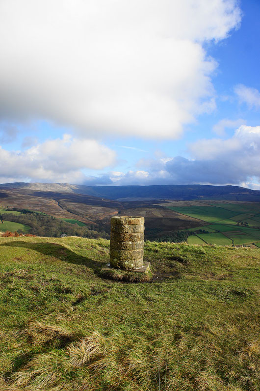
The shooting box just ahead is the cue to turn right and head down into the valley of the River Kinder
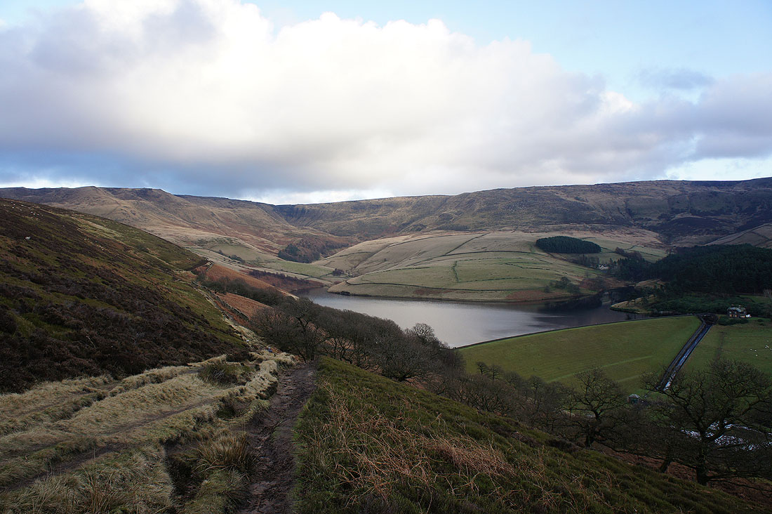
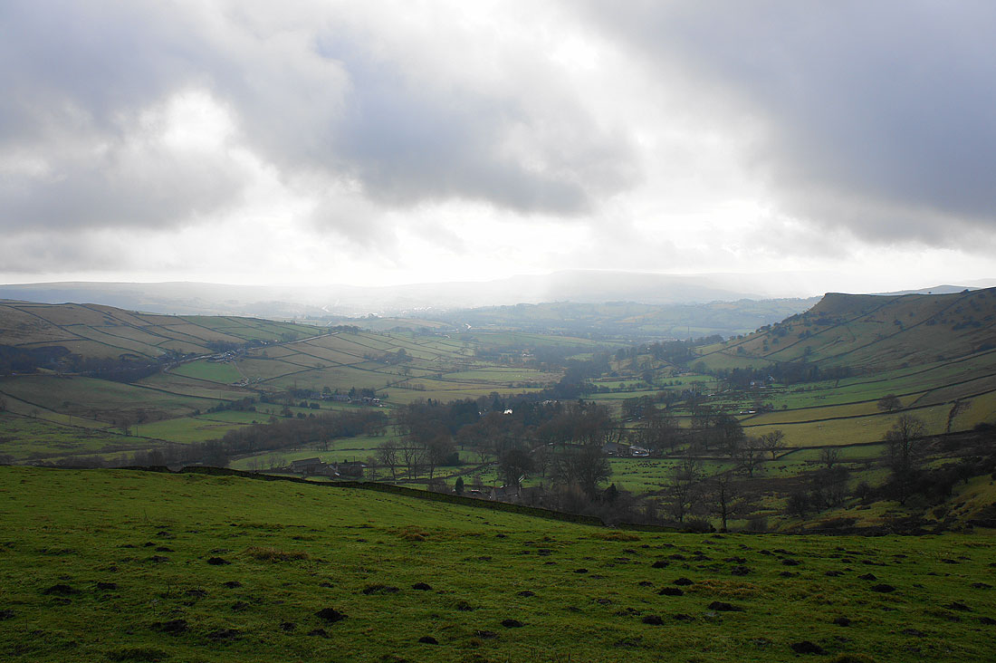
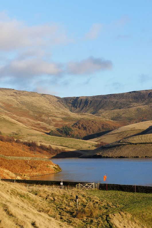
There's a great view of Kinder Reservoir and the western side of Kinder Scout as you start the descent. If only I'd had the patience to wait another ten minutes, it would have been even better.
As you can see the sun came out
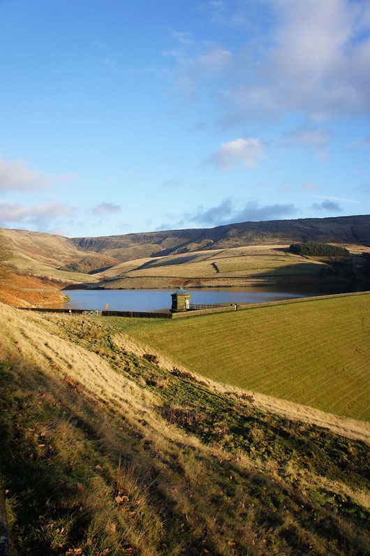
I could even make out Kinder Downfall
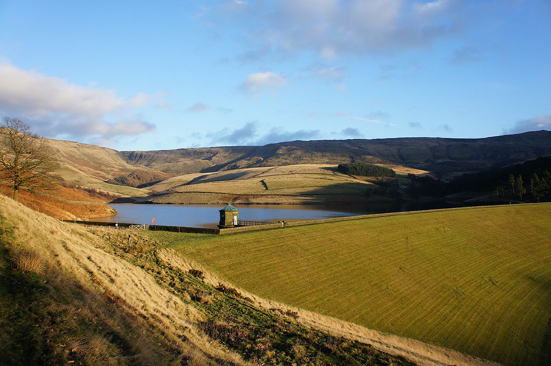
A great way to finish the day though
Down to the Kinder Road and then to Bowden Bridge