19th January 2015 - Ingleborough
Walk Details
Distance walked: 9.8 miles
Total ascent: 2150 ft
OS map used: OL2 - Yorkshire Dales, Southern & Western areas
Time taken: 6.5 hrs
Route description: Clapham-Clapdale-Trow Gill-Little Ingleborough-Ingleborough-Simon Fell Breast-Long Scar-Long Lane-Clapham
Following recent snowfall I was keen to take the opportunity to get out for a walk in it. The weather wasn't great over the weekend and I suppose I could have taken a chance with it but I was worried about driving down the road I live on. It's on the side of a hill and it doesn't take much snow to make driving on it a bit dodgy. By this morning it was clear enough to be safe so I made the decision to head for Clapham in the Yorkshire Dales and climb Ingleborough. It's a relatively safe route to do in the snow with much of it going across gently sloping grassy terrain. Although the summit of Ingleborough was in cloud while I was up there and I had no view, the sunshine I had while making my way back to Clapham more than made up for it. There were stunning views with the sun shining across a snow covered landscape.
I left Clapham by taking the track to Clapdale Farm. When I reached the farm I went through the farmyard and then down to the valley of Trow Gill. Once out of Trow Gill I crossed the moorland to climb Ingleborough via Little Ingleborough. My route back was down Swine Tail and onto the path across Simon Fell Breast for Horton. I left this when I reached the limestone pavement of Sulber to head for Long Scar. I then made my way down the track of Long Lane back to Clapham.
Route map
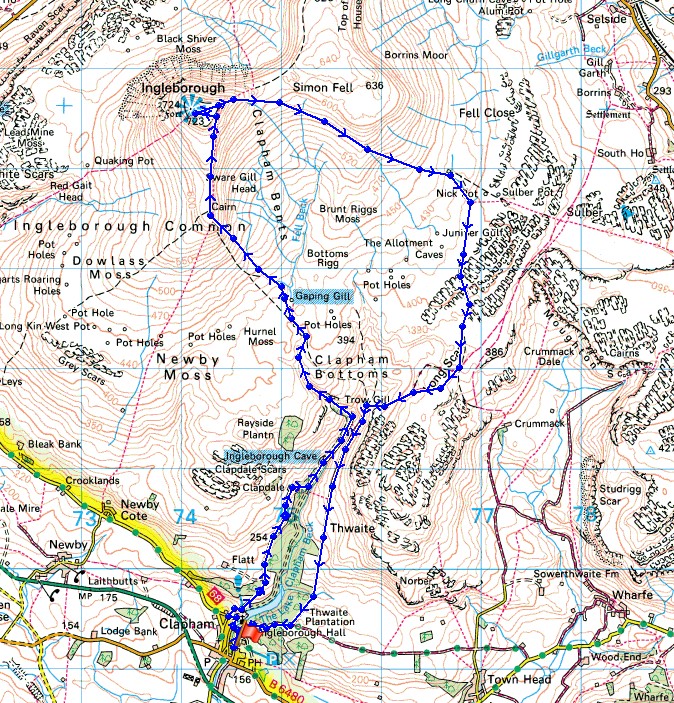
© Crown copyright. All rights reserved. License number PU 100034184.
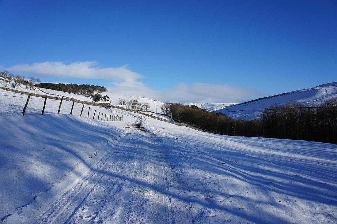
I've left Clapham behind and I'm on the track to Clapdale Farm. More sunshine about than I was expecting.
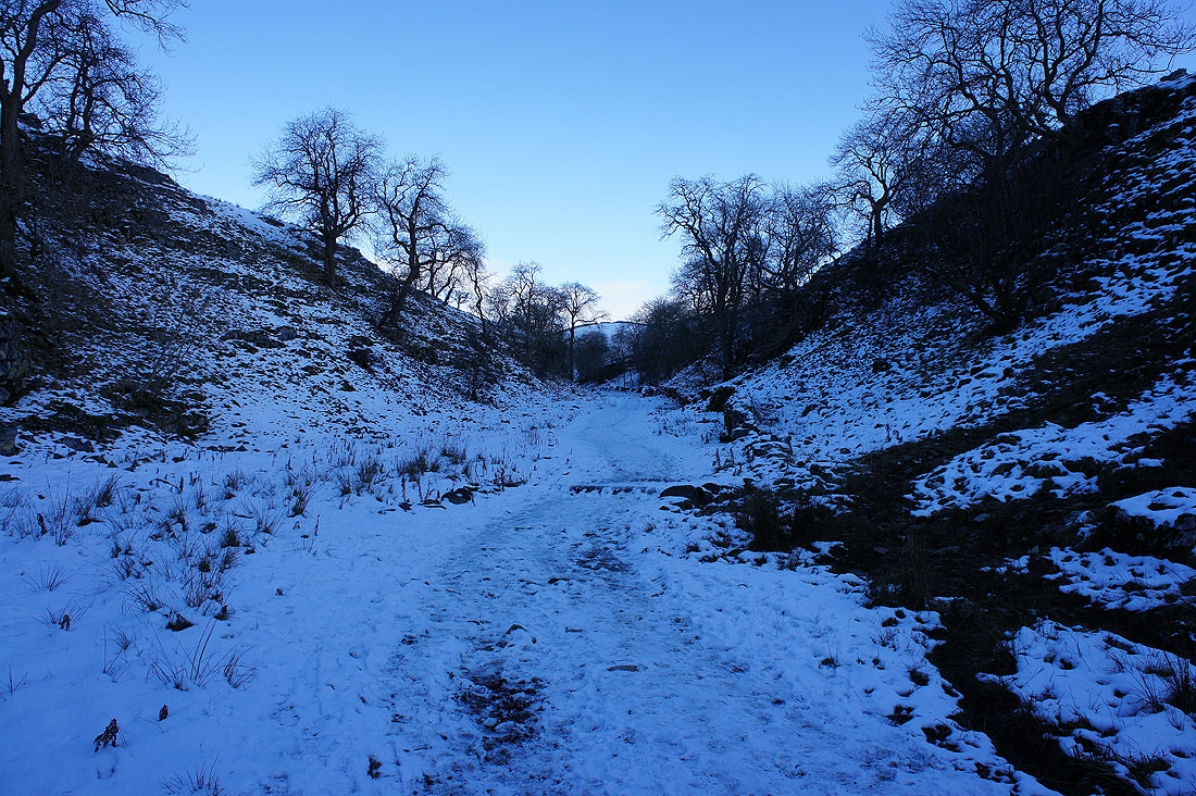
A cold and dark Trow Gill
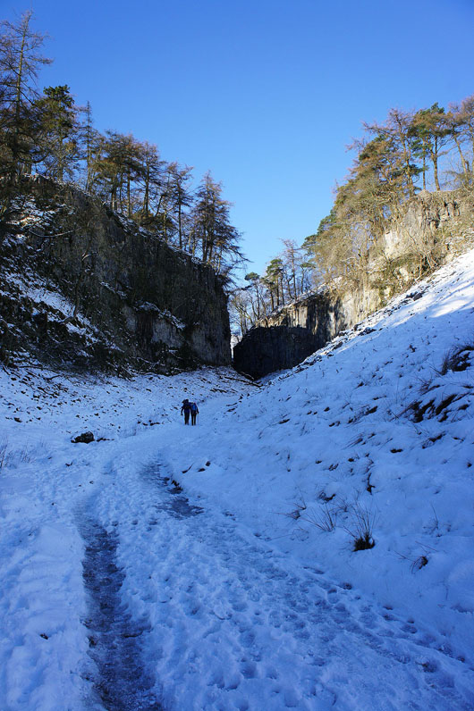
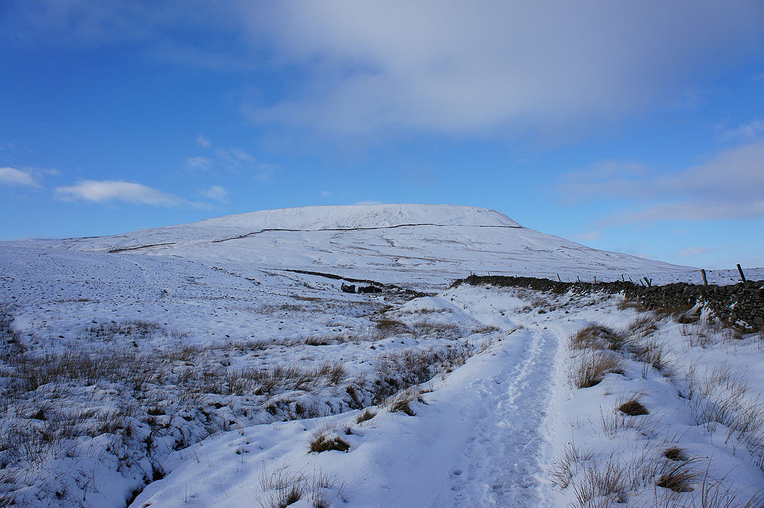
The top of Trow Gill ahead and then I'll be into more open country
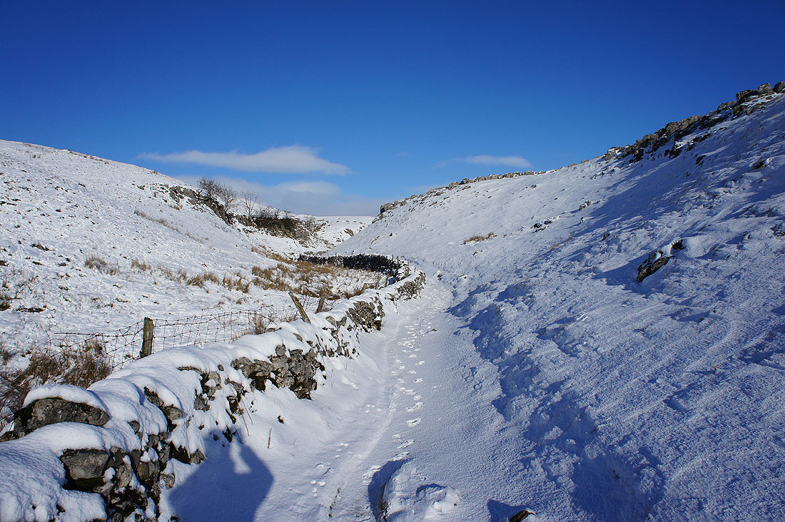
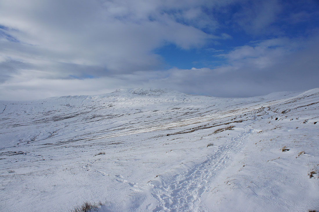
Walking up the dry valley above Trow Gill and I'll soon reach the point where I'll be able to see Ingleborough for the first time since I set off. I wonder how it's looking?
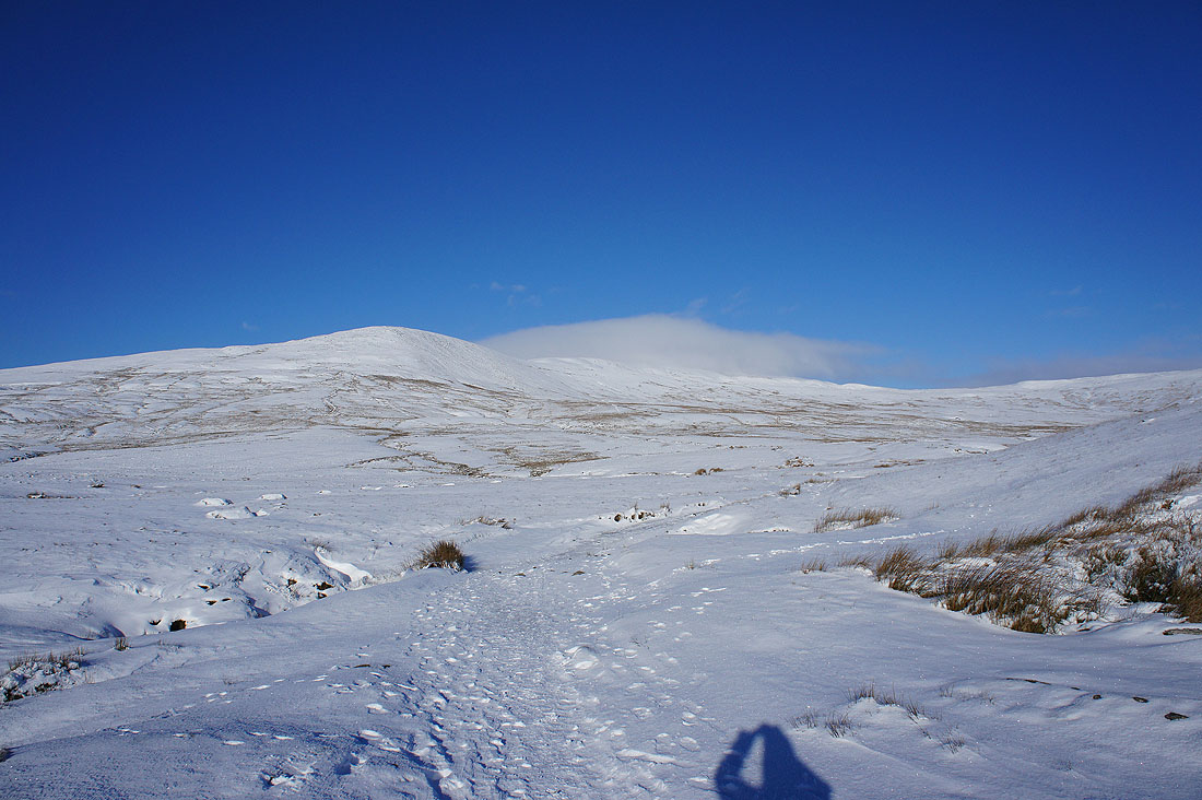
Ingleborough's top may be in cloud but I wasn't expecting this much sunshine and clear skies if the forecast was to be believed. I wonder if it will last?
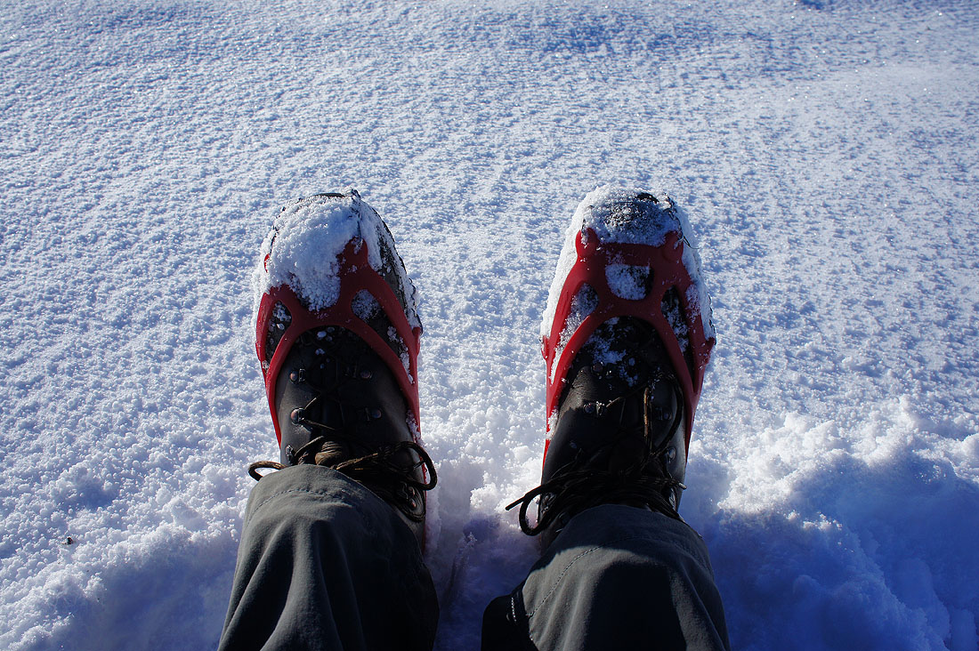
Microspikes on. They're not crampons but for the compacted snow and ice I'll experience on this walk they're great to have. It means that I can keep to a more normal pace instead of slowing to a crawl every time I encounter a bit of ice.
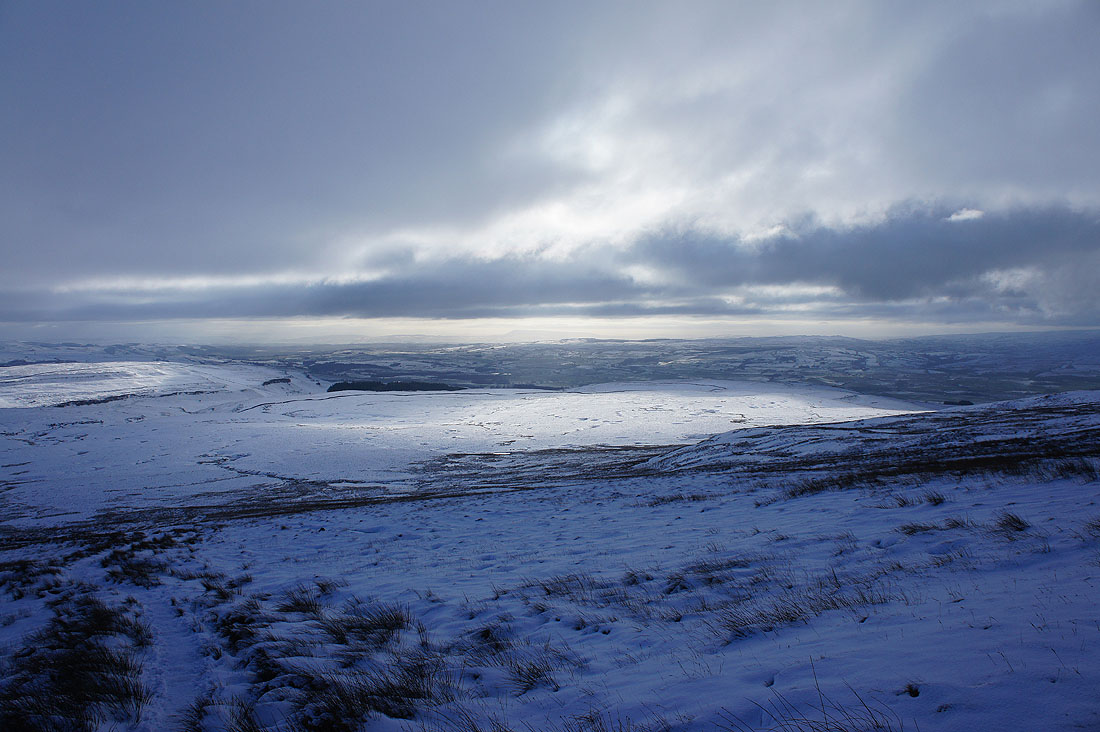
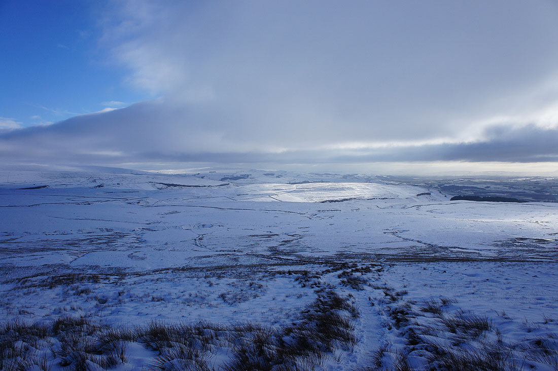
Wow! What a change. Just half an hour after taking that sunny photo and a lot of cloud has spread in. Looking down Ribblesdale and I can make out a distant Pendle Hill.
Sunshine on Thwaite with the hills above Settle beyond
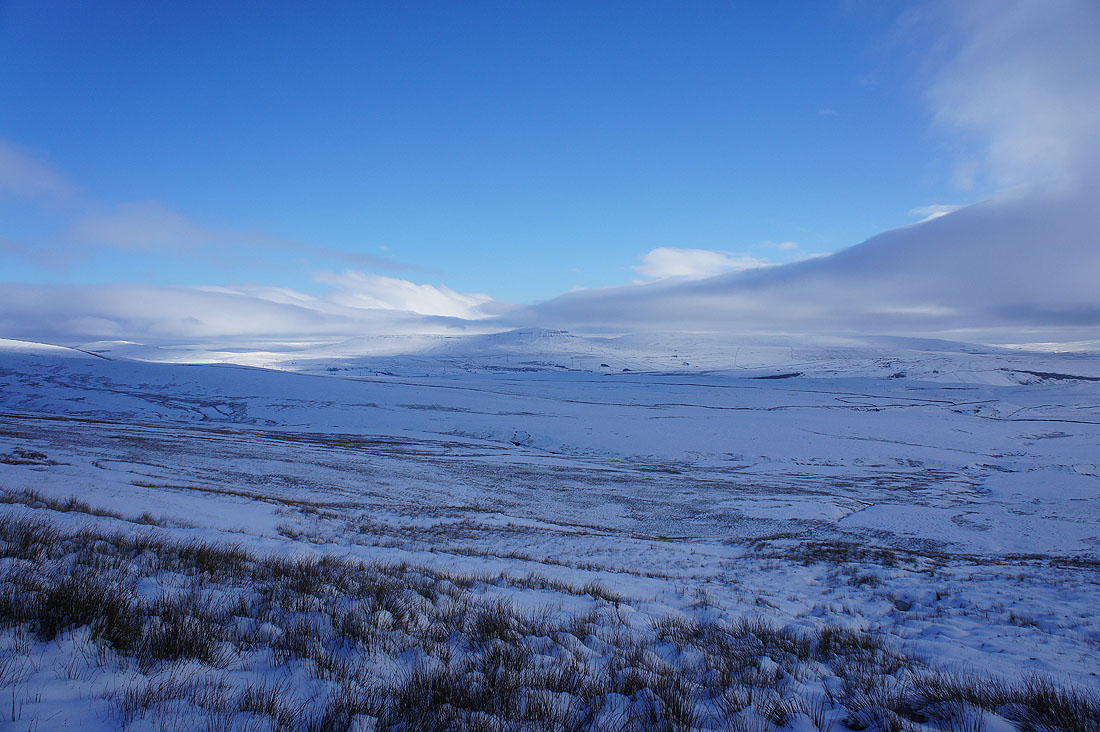
Penyghent's summit is free from cloud at the moment
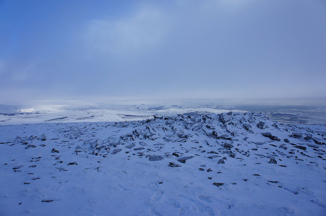
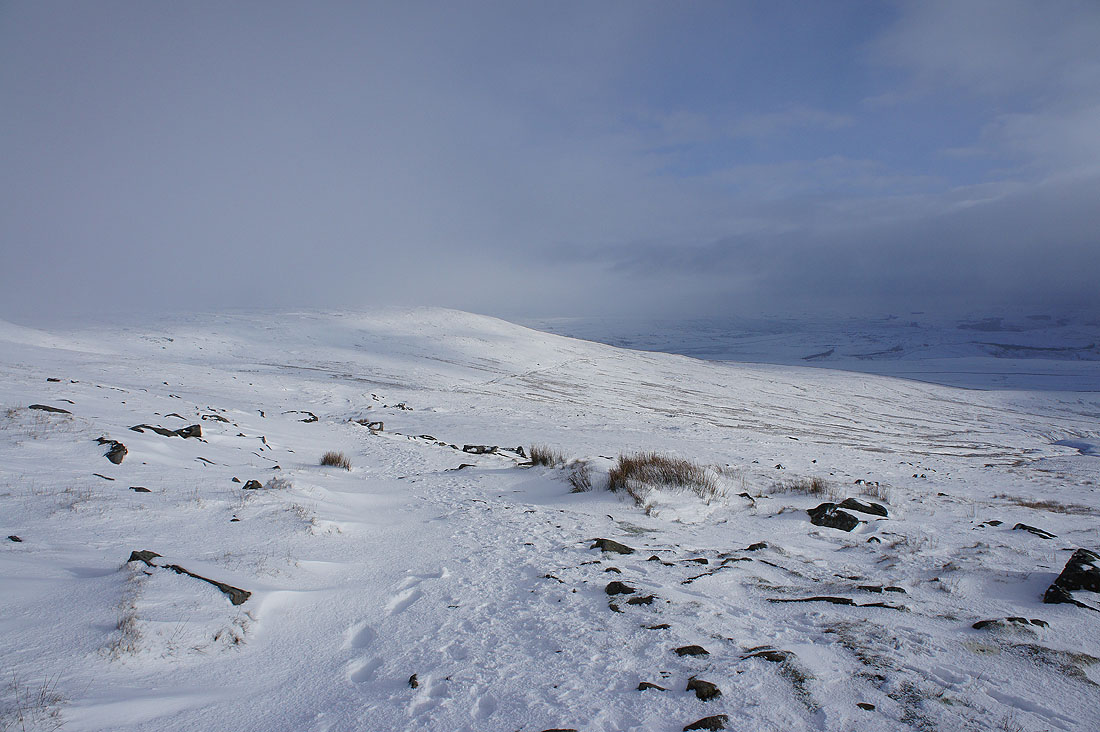
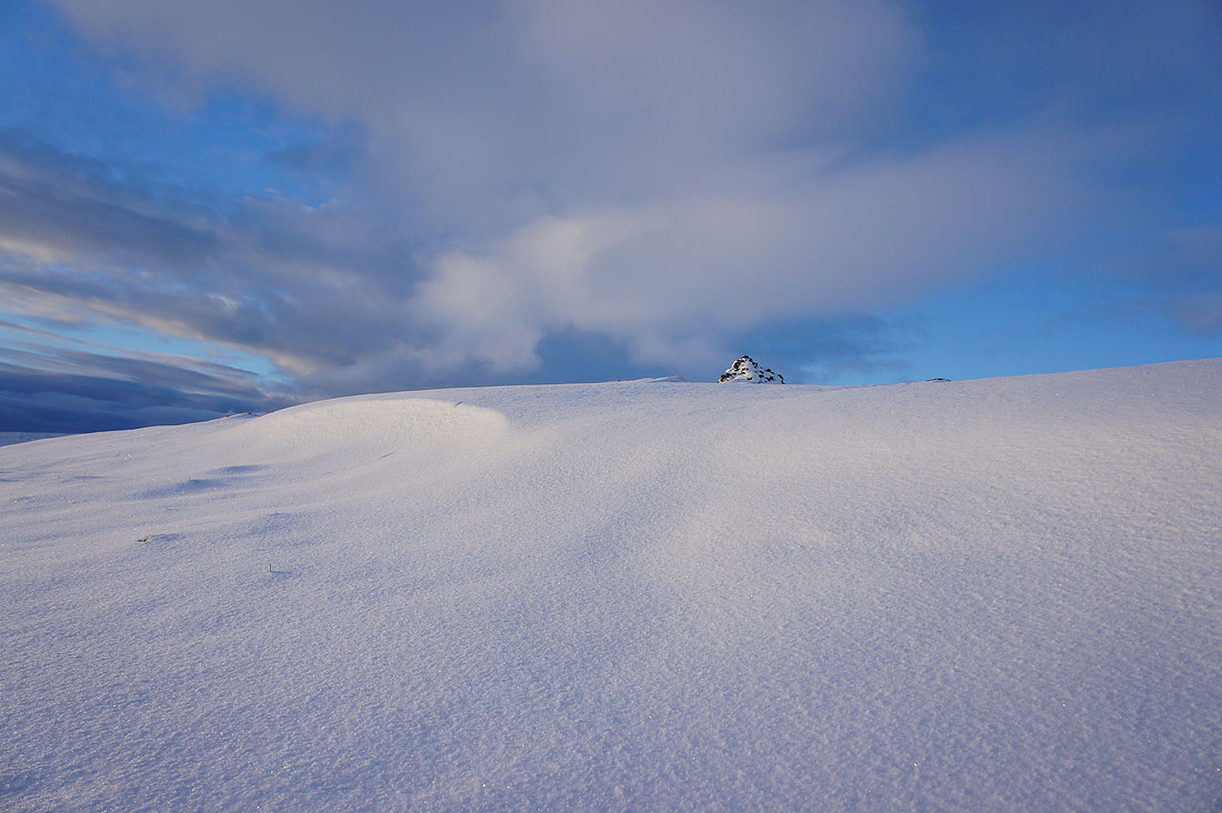
On a very cold Little Ingleborough
Whernside across Chapel-le-Dale. Low cloud is forming and blowing up the western slopes of the hill.
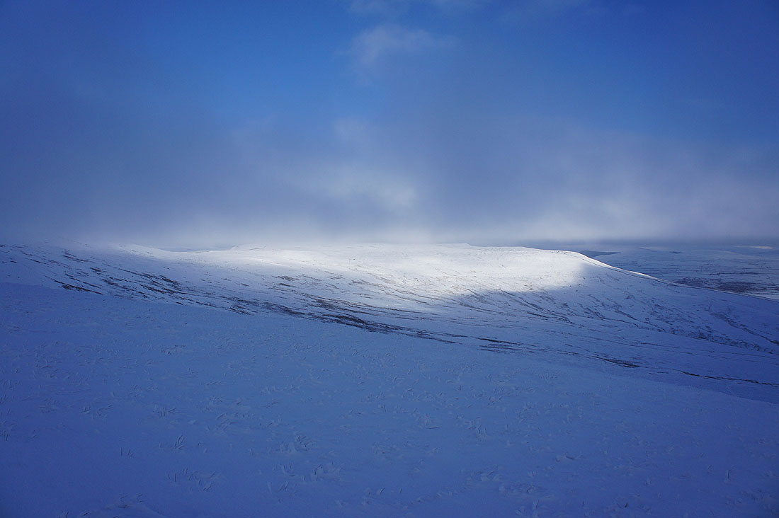
Sunshine on Simon Fell
Time to head for the summit
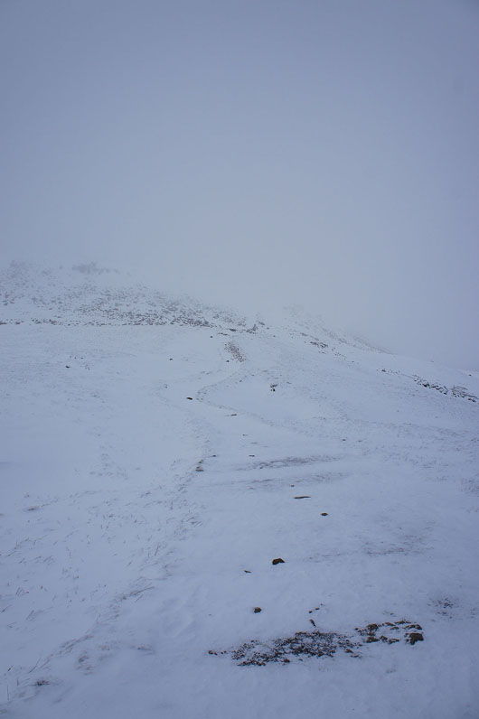
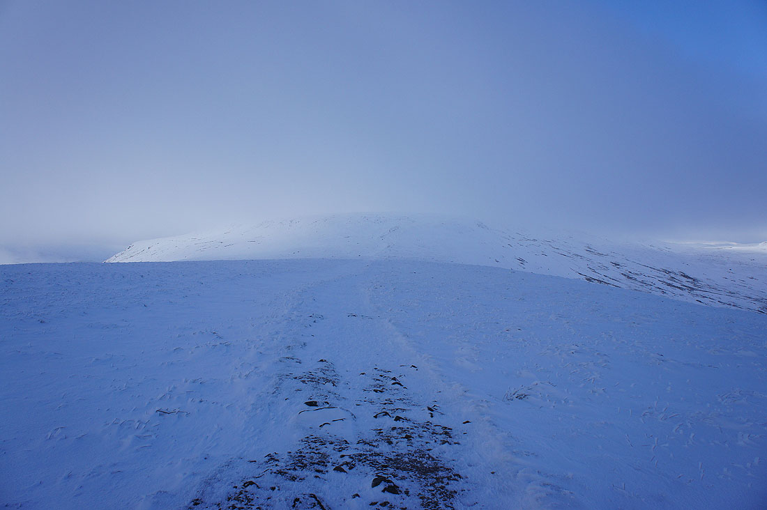
The final climb
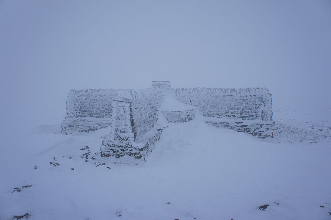
I wasn't the only person up here today but I did have the shelter to myself while I had my lunch
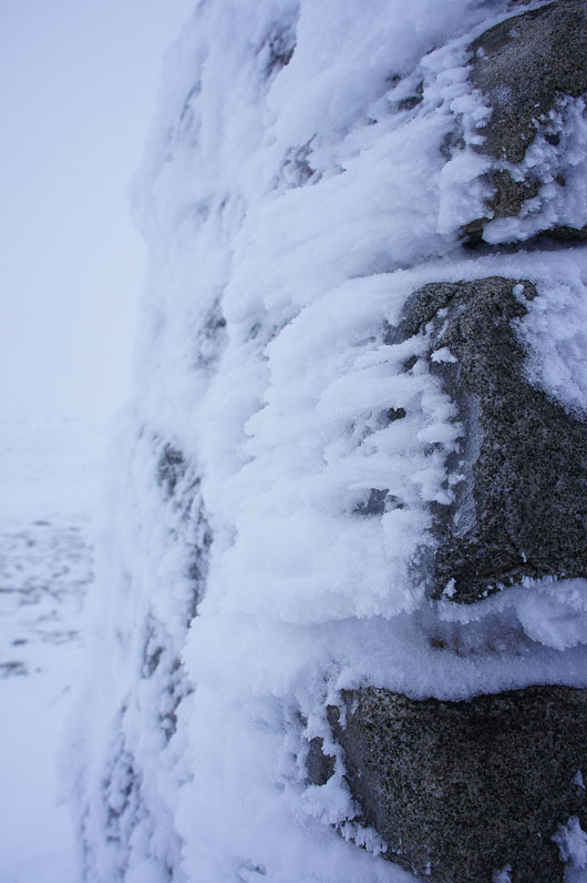
An icy trig
Out of the cloud as I start my descent across Simon Fell Breast
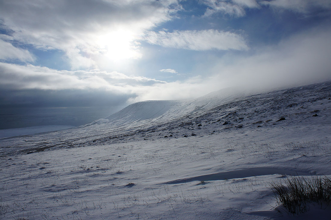
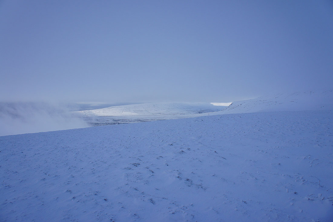
The cloud is flowing across the top of Ingleborough and then evaporating on its leeward side..
When I look back ten minutes later the cloud is clearing. Sods law that I'm not up there.
Clear skies over Simon Fell
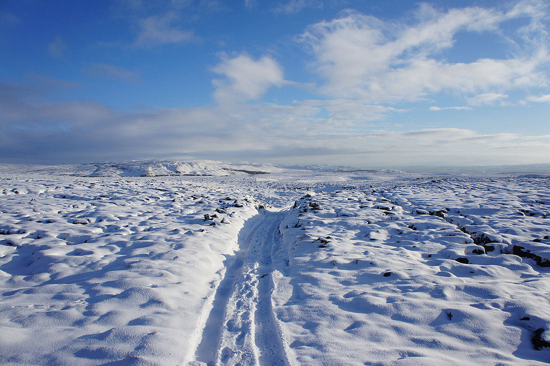
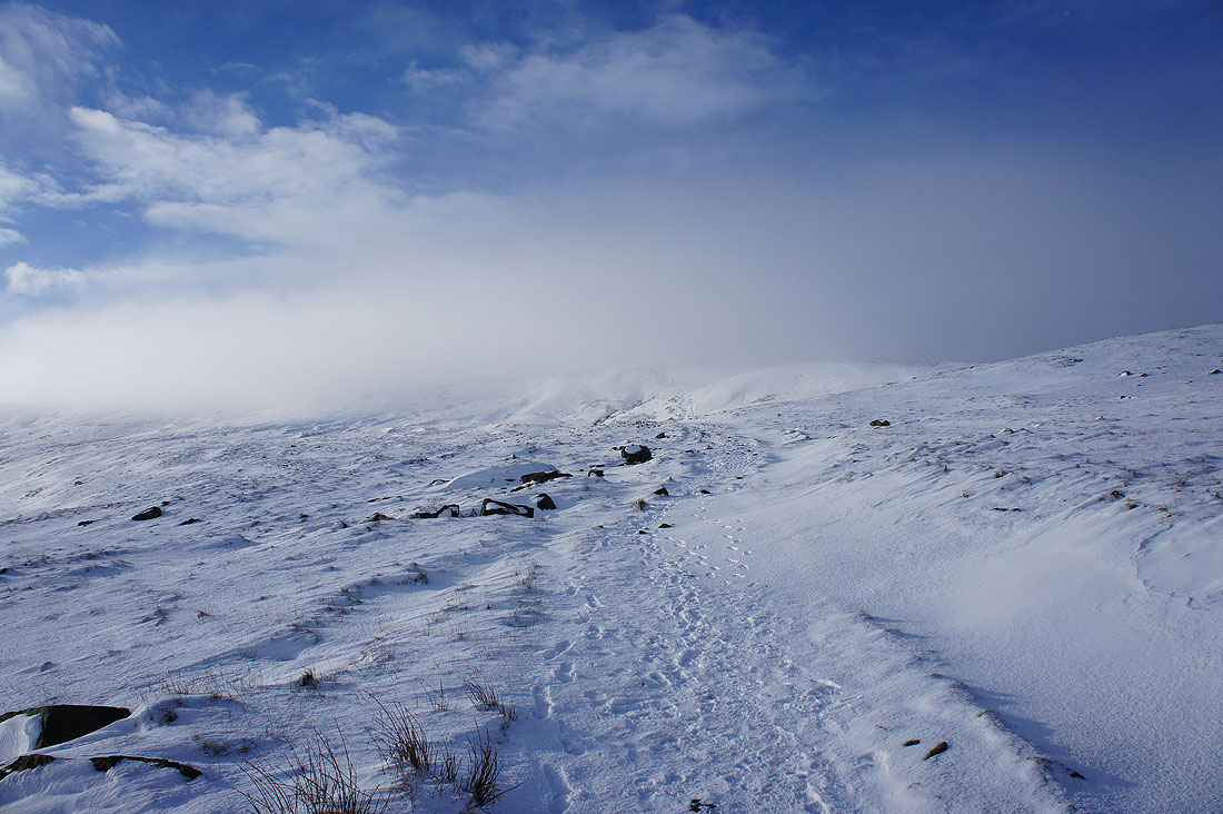
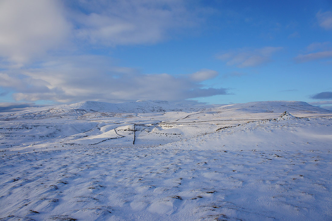
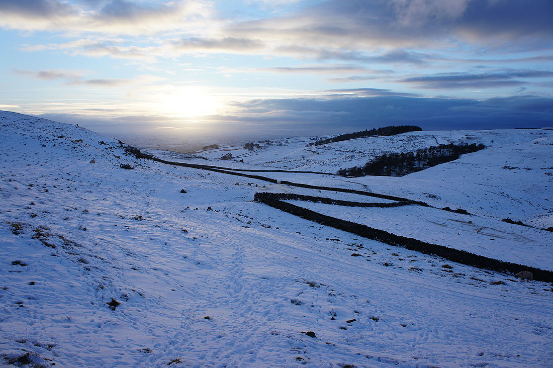
I've left the path to Horton for the one to Long Scar and there's a handy quadbike track to follow. The weather has improved and there are glorious views across the surrounding limestone pavement.
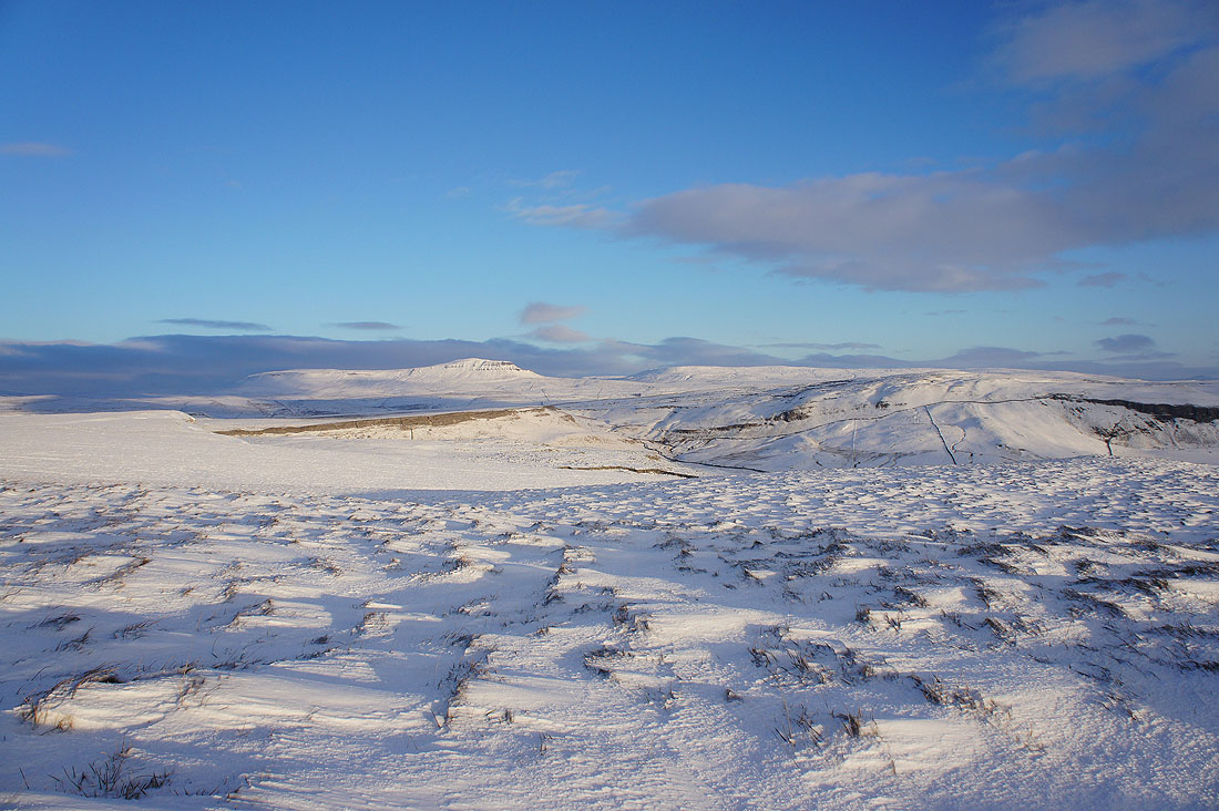
Ingleborough in the clear but note the cap of cloud on Simon Fell
Penyghent and Fountains Fell
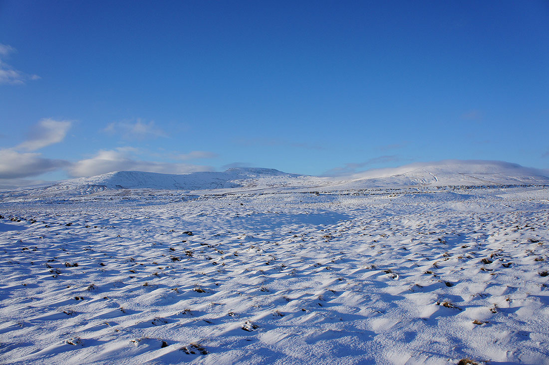
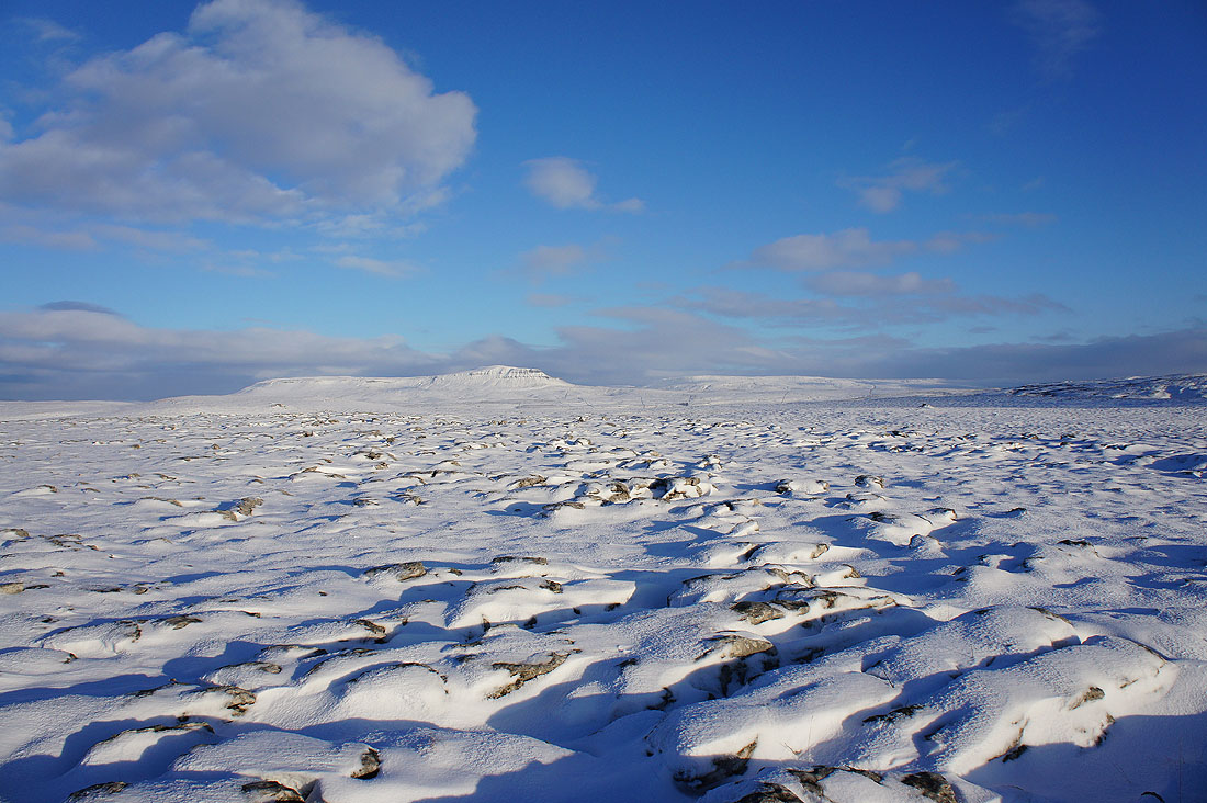
Finally on Long Scar. A little cairn marks its "top". There are stunning views now with the blue skies and low sun shining across the snow. Looking across to Ingleborough and Simon Fell.
Moughton Scars, Crummack Dale and Moughton with Penyghent and Fountains Fell in the distance
Moughton, the hills above Settle in the distance and those around Feizor such as Pot Scar
Deep snow on Long Scar
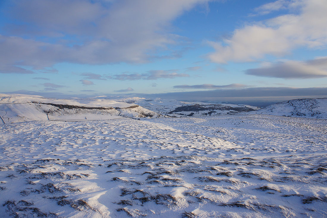
I think it's time I was heading down..
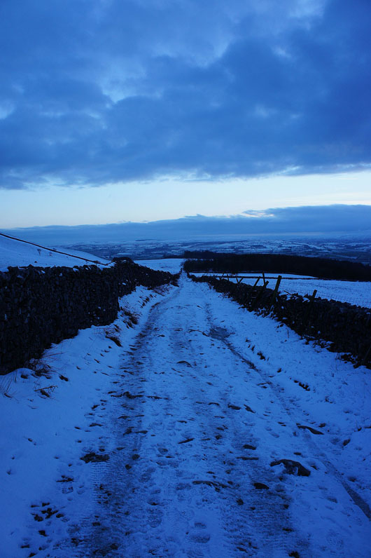
..by the track of Long Lane to Clapham