19th January 2020 - The Howgills
Walk Details
Distance walked: 9.4 miles
Total ascent: 2597 ft
OS map used: OL19 - Howgill Fells & Upper Eden Valley
Time taken: 5 hrs
Route description: New Bridge on the A684, Sedbergh-River Rawthey-Straight Bridge-River Rawthey-Buckbank Farm-Ellerthwaite-Thursgill Farm-Fawcett Bank-Fawcett Bank Rigg-Great Dummacks-Calders-The Calf-Calders-Rowantree Grains-Settlebeck Gill-Castlehaw Lane-A684-Vicarage Lane-Winder Drive-River Rawthey-New Bridge on the A684, Sedbergh
My second walk of the weekend and I was expecting to enjoy a great walk on the Howgills on a fine winter's day. Things didn't quite turn out that way though. The forecast was for clear and sunny skies, and I set off from Sedbergh with something close to that. The rest of the morning was lovely, sunny skies and frosty fields, and it was only when I reached the top of Great Dummacks that I could see that low cloud was rapidly forming and spreading in from the west. It went from sunny to dull, grey and overcast, with a strong and cold wind in the space of thirty minutes. Unfortunately it stayed that way for the rest of the afternoon. I decided to try a new route up onto the central plateau, taking the ridge of Fawcett Bank Rigg up onto Great Dummacks from the bridleway to Cautley. It was a good way up, though steep at the start, with great views across the River Rawthey valley when I turned around. One I'll do again.
After parking in the layby at New Bridge on the A684 just outside Sedbergh I crossed the road, took the footpath opposite, and followed it east by the River Rawthey to Straight Bridge on the A683. I then crossed this road and took the footpath opposite, north to Buckbank Farm. From Buckbank Farm I walked northeast along a lane past Ellerthwaite to Thursgill Farm, and then along the bridleway from here to Fawcett Bank and on towards Cautley. When I reached access land I left the bridleway for a steep climb up the hillside onto Fawcett Bank Rigg, and I then climbed along this ridge to the top of Great Dummacks. After visiting the top of Cautley Crag I made my way across to the top of Calders, where I picked up the bridleway to The Calf. On returning to Calders from the trig point on The Calf I followed the bridleway south, across Rowantree Grains and past Arant Haw, to a path on the western side of Settlebeck Gill down to the edge of access land. I then followed the public footpath from here down a field, across Settlebeck Gill, and down to the top of Castlehaw Lane, which I then walked down to reach the A684 in Sedbergh. After crossing the road I took the footpath opposite along Vicarage Lane, then straight on up a field, across Winder Drive, and then down and across a couple of fields to the north bank of the River Rawthey. A short walk east along the path by the river took me back to New Bridge where I was parked.
Route map

© Crown copyright. All rights reserved. License number PU 100034184.

New Bridge over the River Rawthey just outside Sedbergh
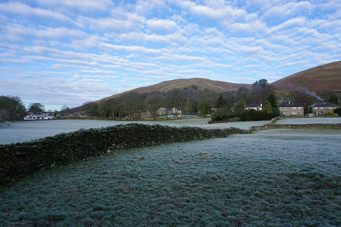
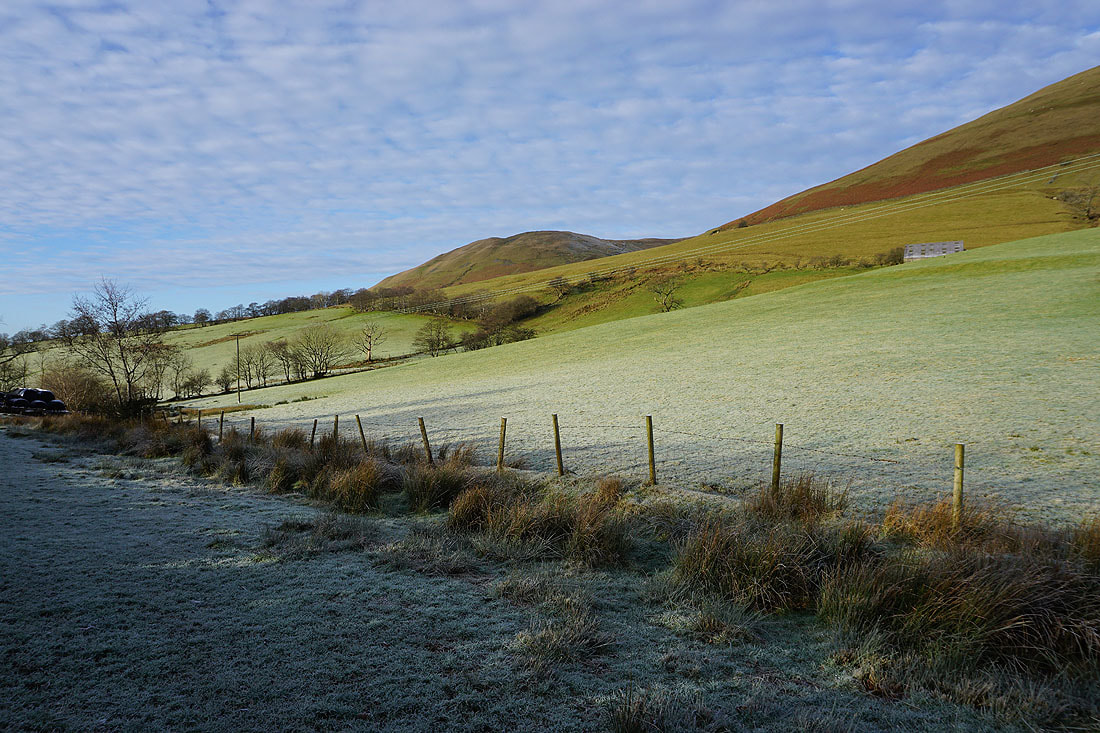
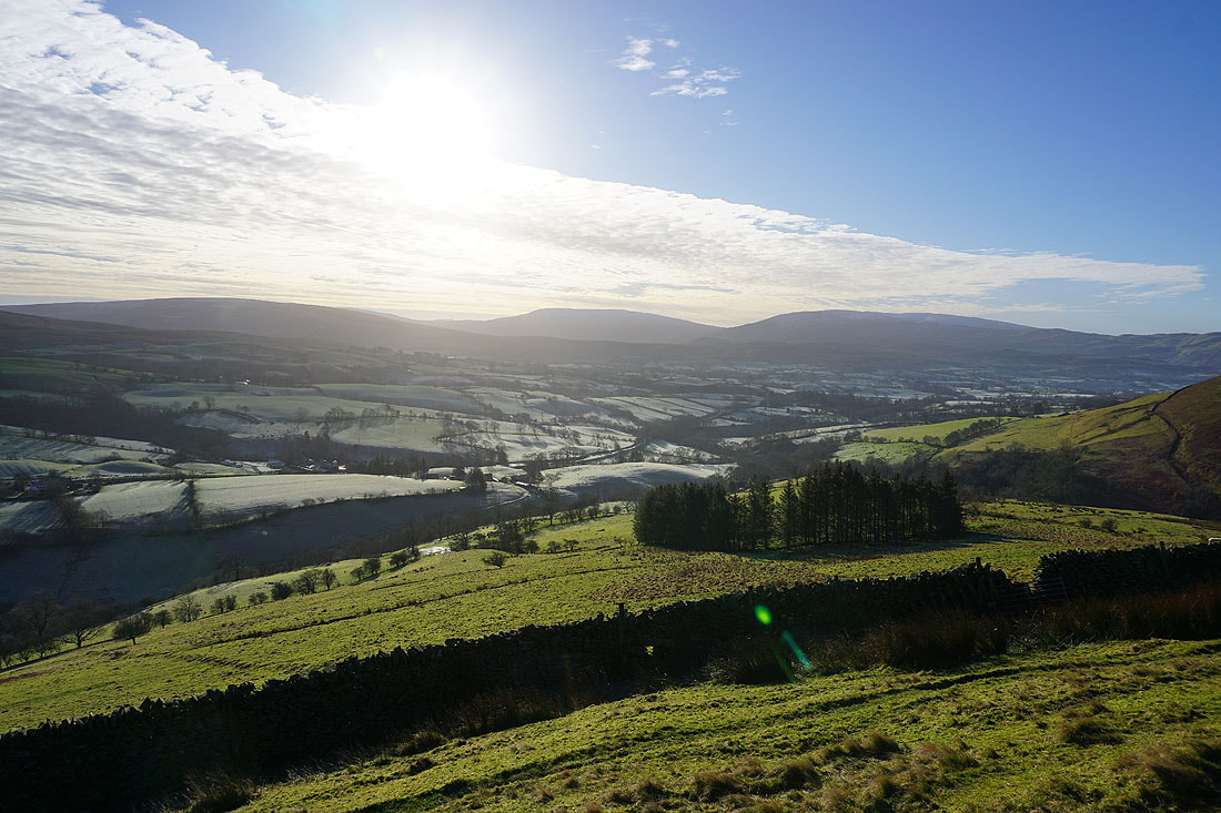
Frosty fields and great looking skies above Winder as I follow the path by the River Rawthey to Straight Bridge..

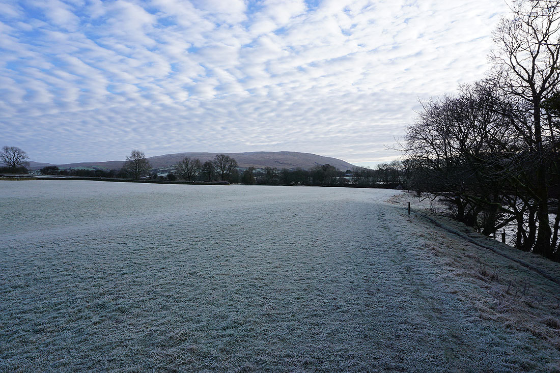
Baugh Fell in the distance

Winder and Crook
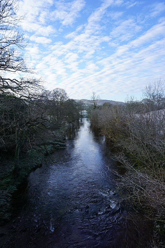
The River Rawthey from Straight Bridge. I didn't cross it though. The path stays on the same side of the river.

Looking back with Middleton Fell in the distance as I follow the path from Straight Bridge to Buckbank Farm
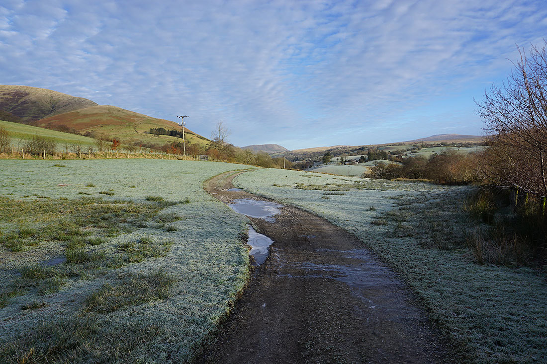
From Buckbank Farm I then walk along the road to its end at Thursgill Farm
The colourful hillsides of Crook and Knott above Thursgill Farm
From Thursgill Farm I follow the bridleway to Fawcett Bank. The ridge of Fawcett Bank Rigg which I'll be climbing to reach Great Dummacks is on the left.
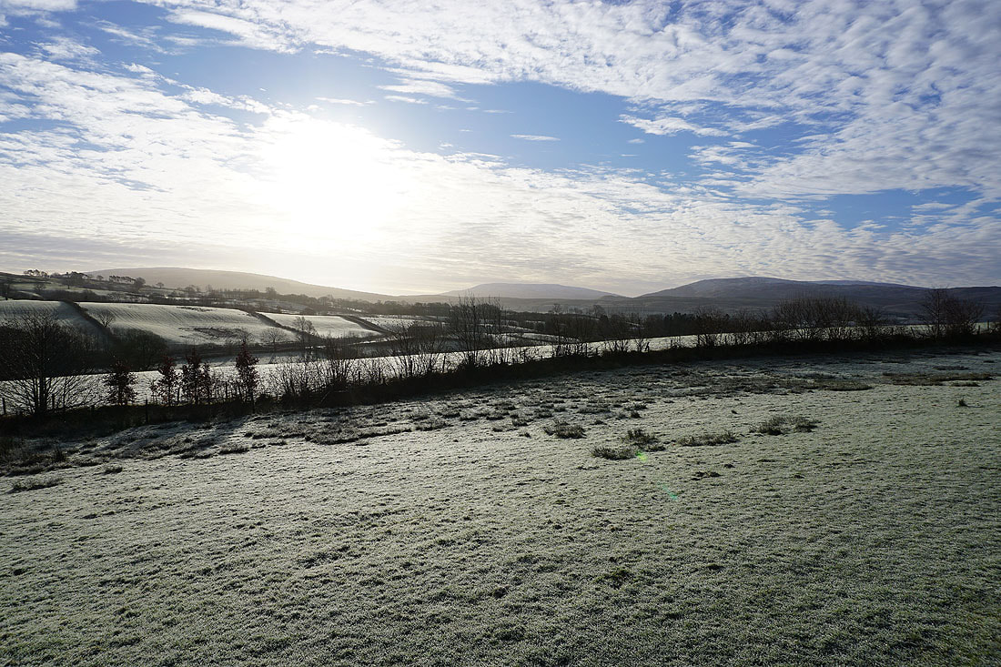
Aye Gill Pike, Great Coum and Middleton Fell in the distance beyond the fields by the River Rawthey

Hobdale Beck
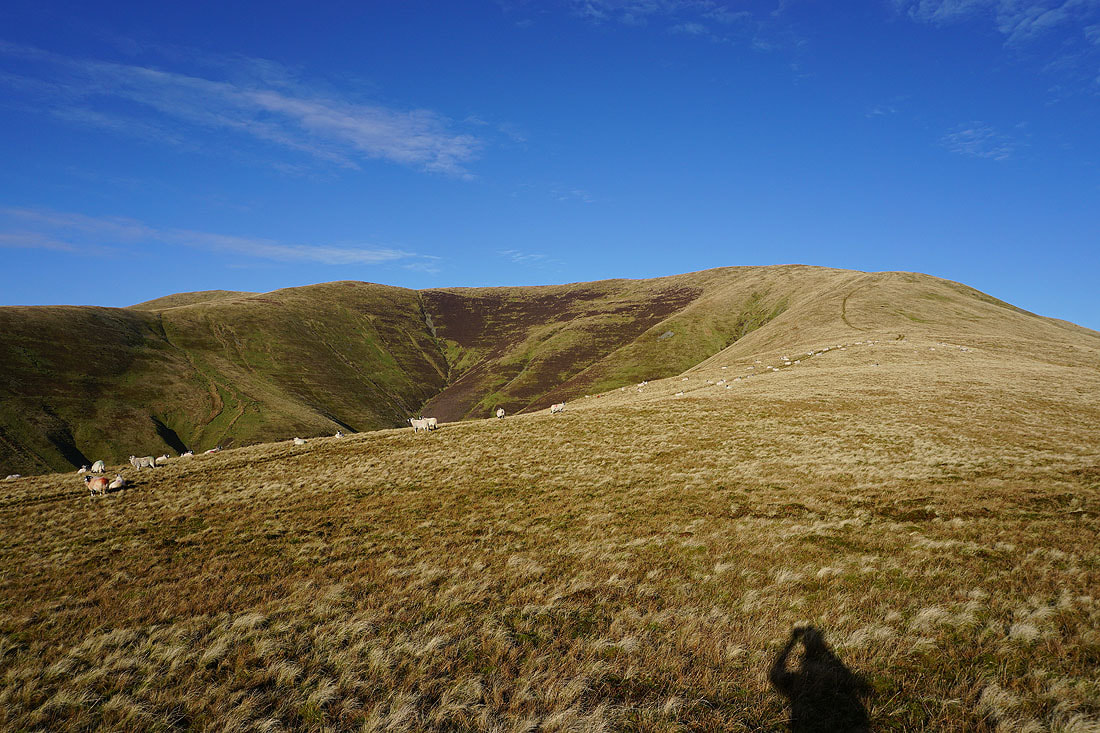
Wandale Hill, Harter Fell and the slopes of Baugh Fell on the other side of the Rawthey valley. I left the bridleway to Cautley at this point for a steep climb onto Fawcett Bank Rigg.
Aye Gill Pike, Great Coum and Middleton Fell, with the Rawthey valley below, from the bottom of Fawcett Bank Rigg
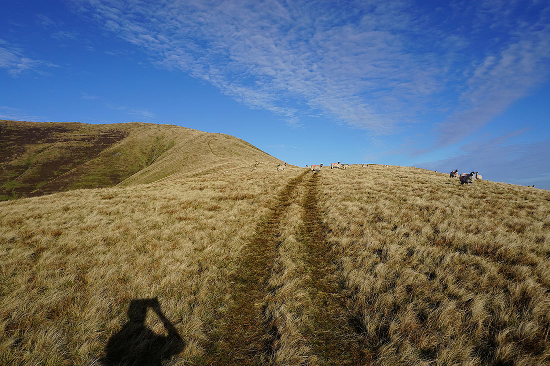
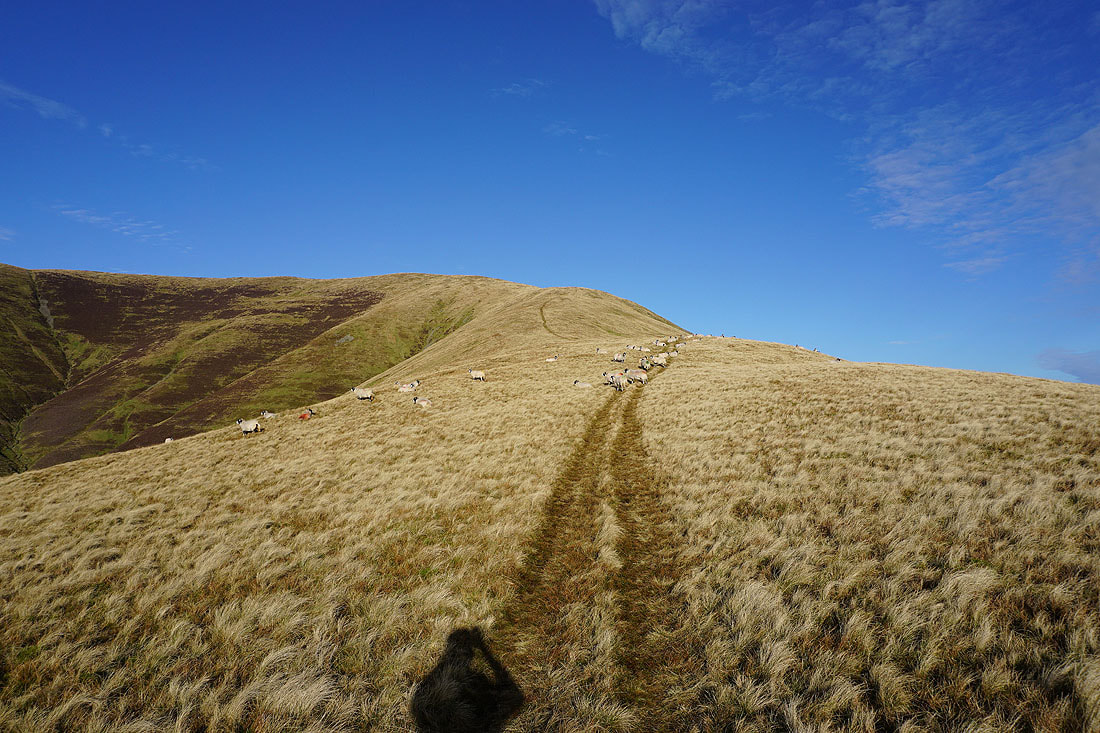
Heading up Fawcett Bank Rigg to Great Dummacks

With a bit of height gained I can now make out Whernside and Ingleborough in the distance between Aye Gill Pike and Great Coum
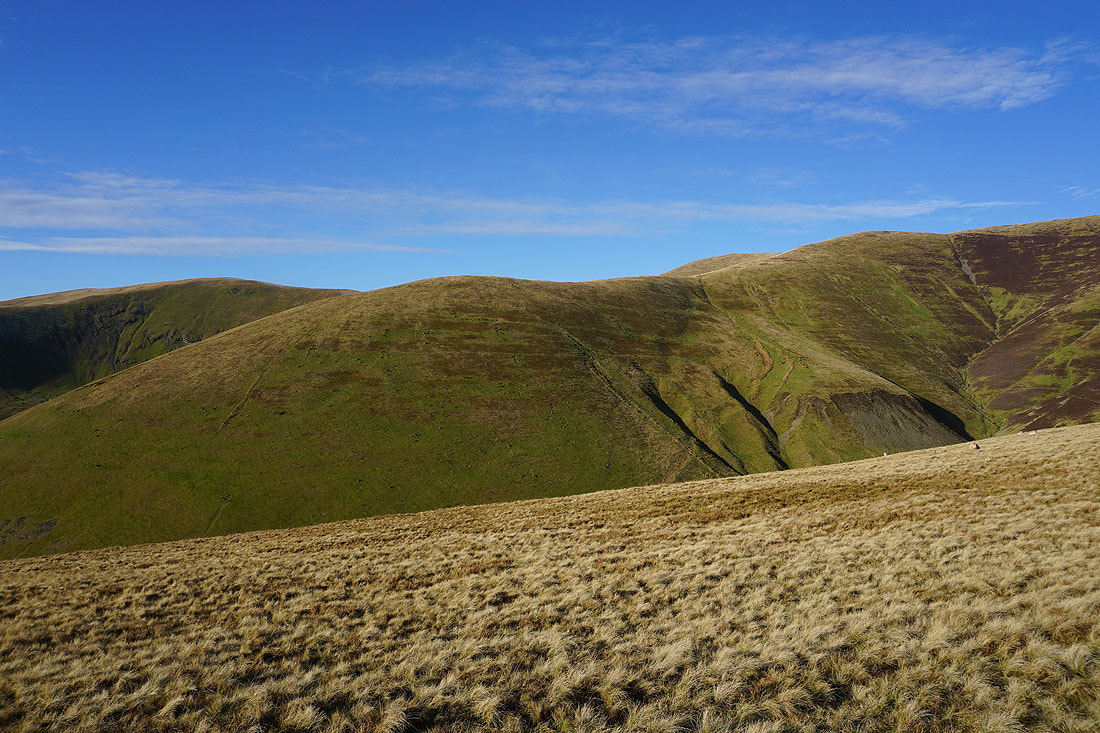
Middle Tongue on the other side of Grimes Gill
Wandale Hill, Harter Fell, Wild Boar Fell and Swarth Fell, with the River Rawthey below and the slopes of Baugh Fell on its other side
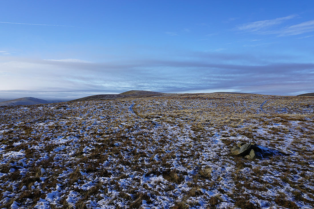
Top of Middle Tongue across to Great Dummacks..
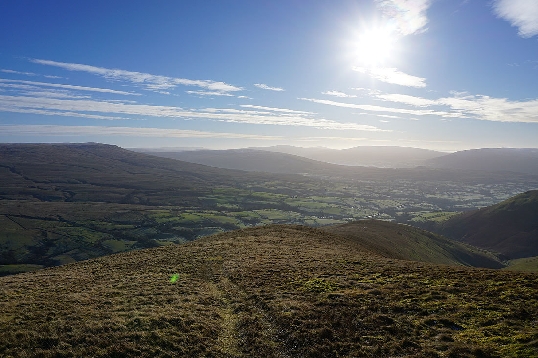
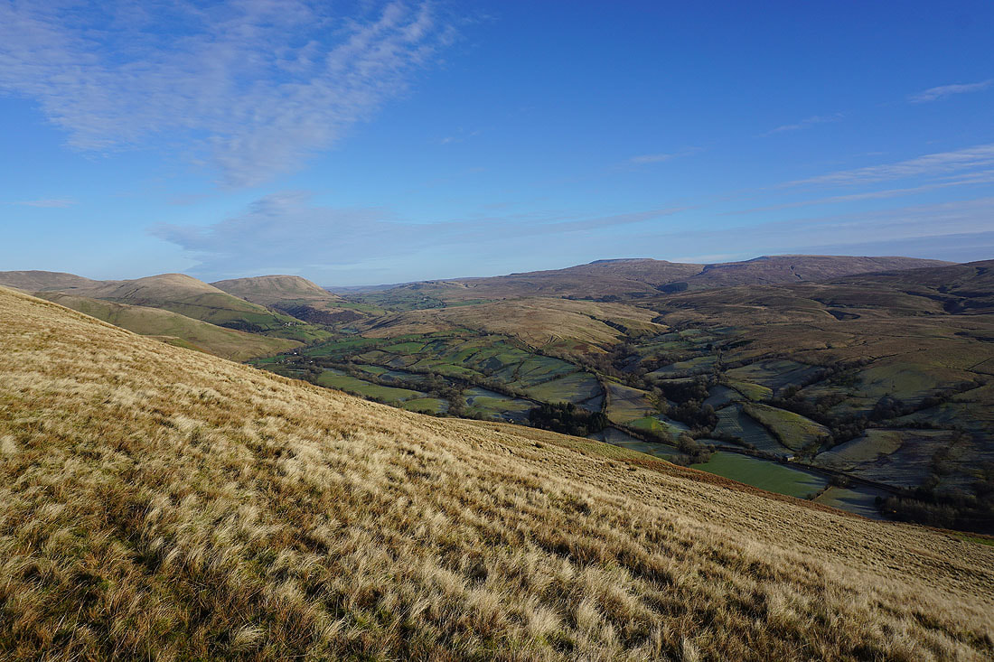
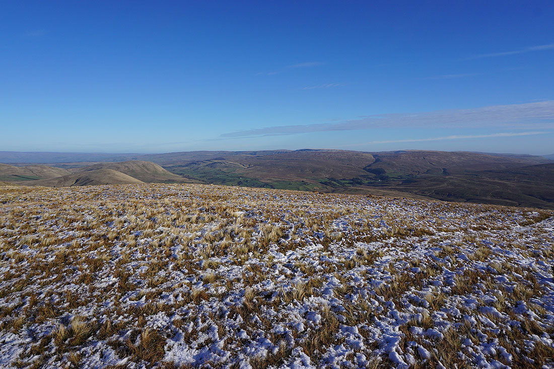
I have a great view south across the Dales as I near the top of Fawcett Bank Rigg. Baugh Fell on the left, then Penyghent, Aye Gill Pike, Whernside, Ingleborough, Great Coum and Middleton Fell..

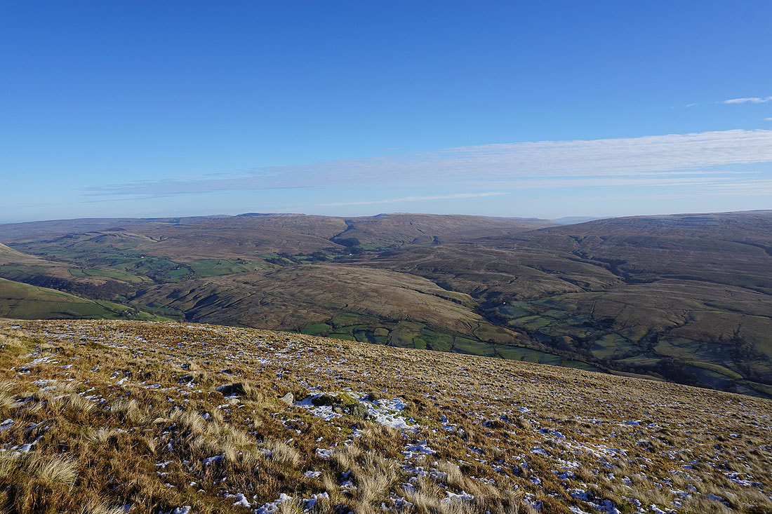
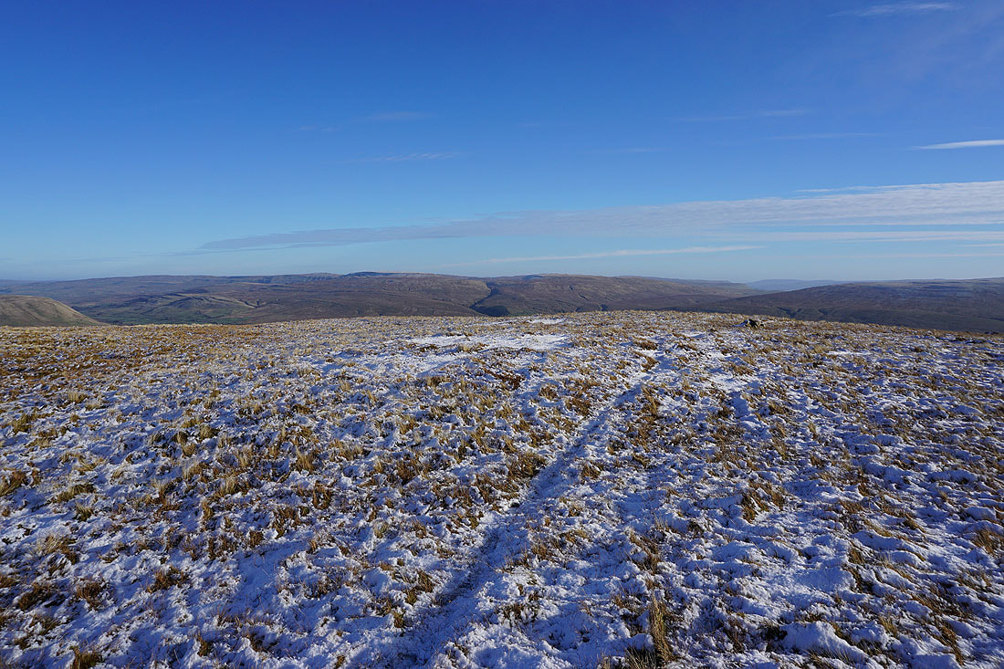
Wild Boar Fell, Swarth Fell and the sprawling slopes of Baugh Fell
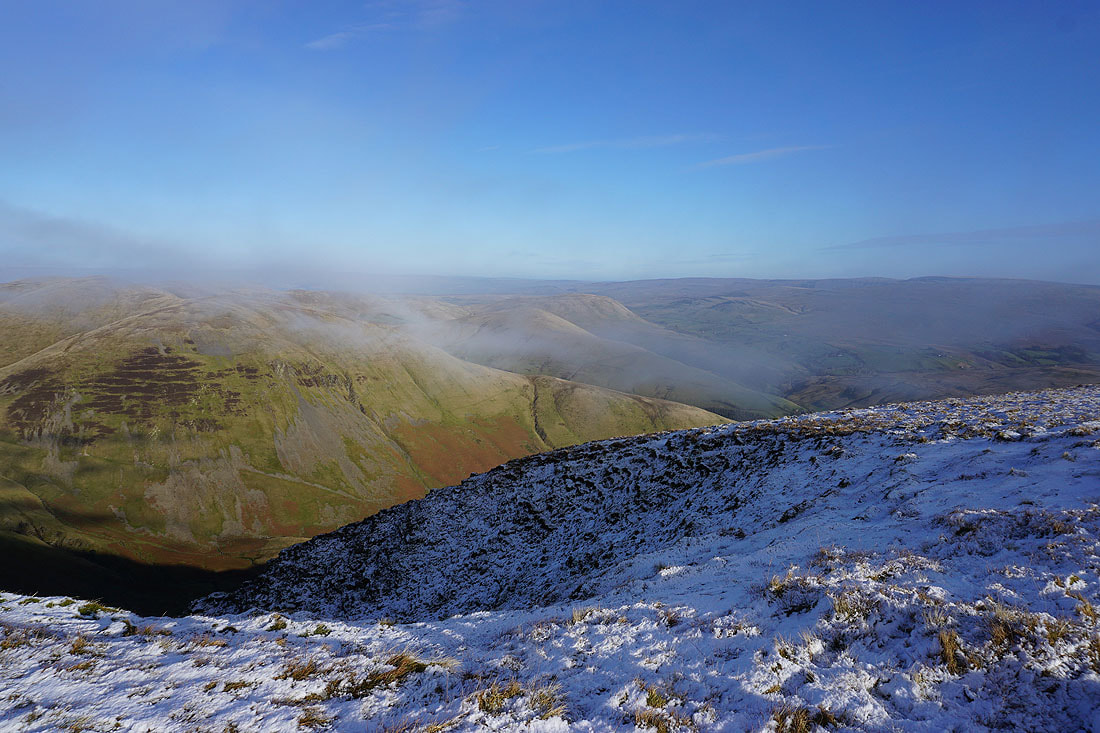
On Great Dummacks and looking west to Calders. It's becoming pretty clear that the weather is changing.

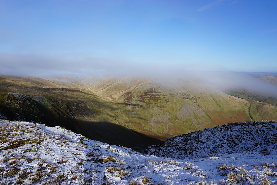
I'd better not waste any time, and take some photos of the view, just in case it disappears. Yarlside, Green Bell, Wandale Hill and Harter Fell make up the northeastern corner of the Howgills, with Cross Fell and the North Pennines in the distance.
Wandale Hill, Harter Fell, Wild Boar Fell and Swarth Fell..
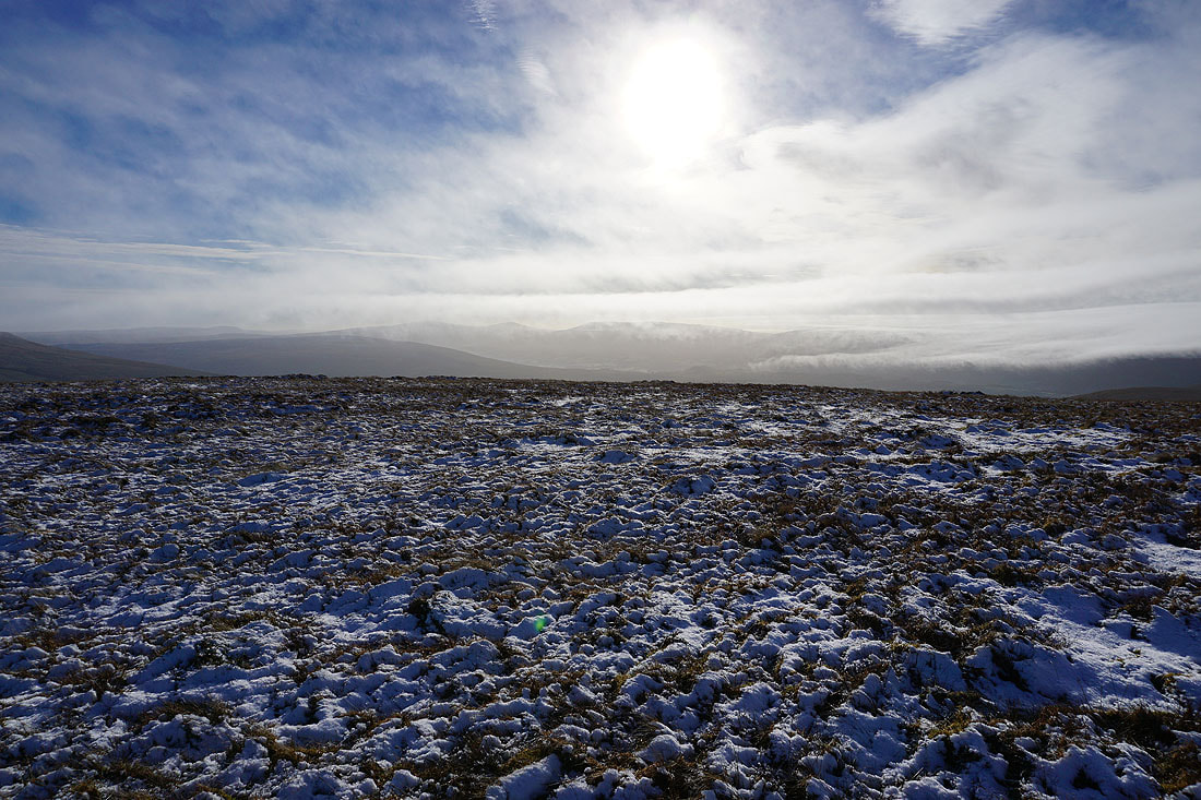
The sight of the cloud pouring across the fells is quite spectacular
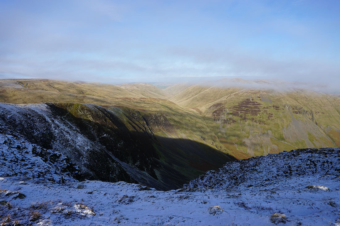
The view from the southern end of Cautley Crag across to Bowderdale, Yarlside, Wandale Hill and Harter Fell...
On my way from Great Dummacks to Calders and the cloud takes the view..
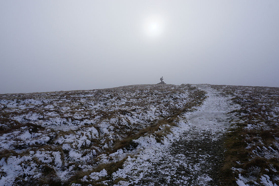
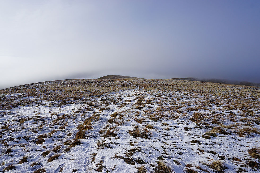
On Calders, and the sun shines weakly through the cloud. At this point I thought that the cloud might clear, but it only got worse.
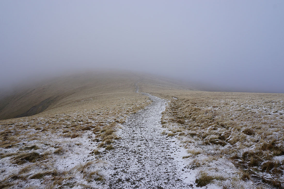
On the bridleway to The Calf
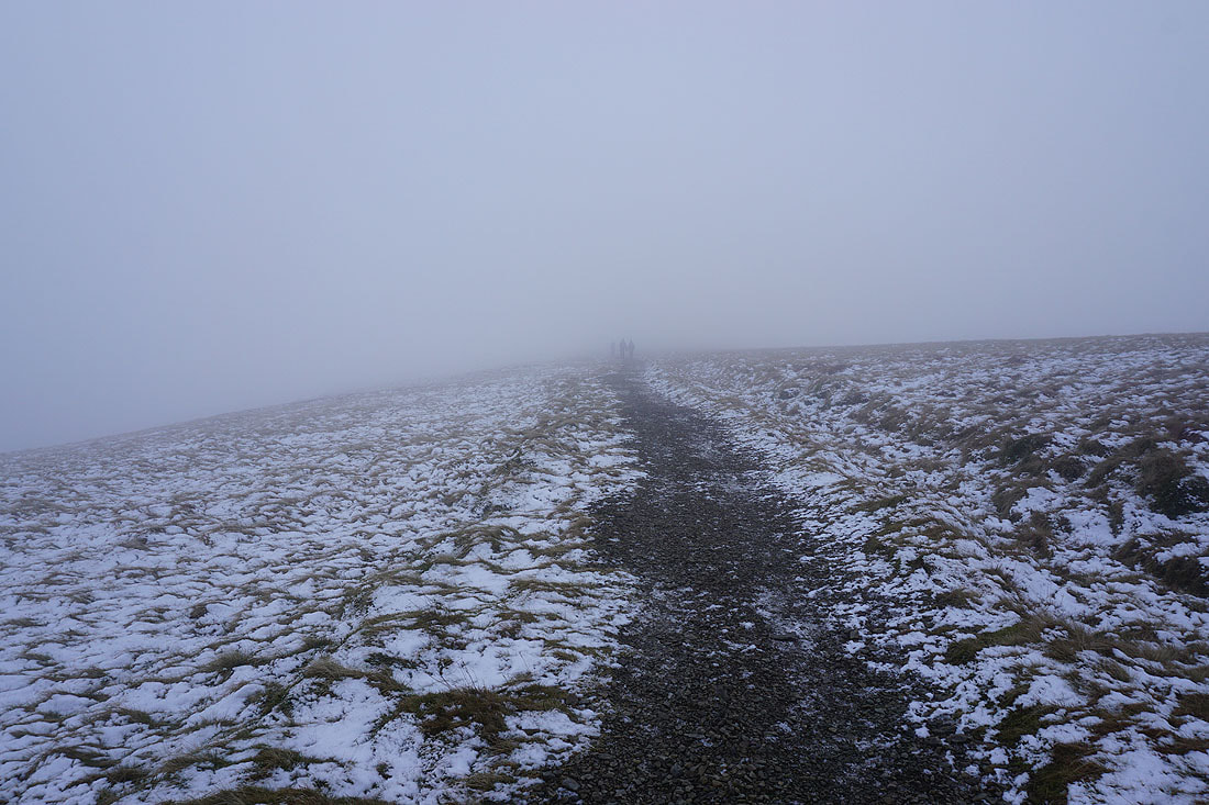
Figures disappear into the mist
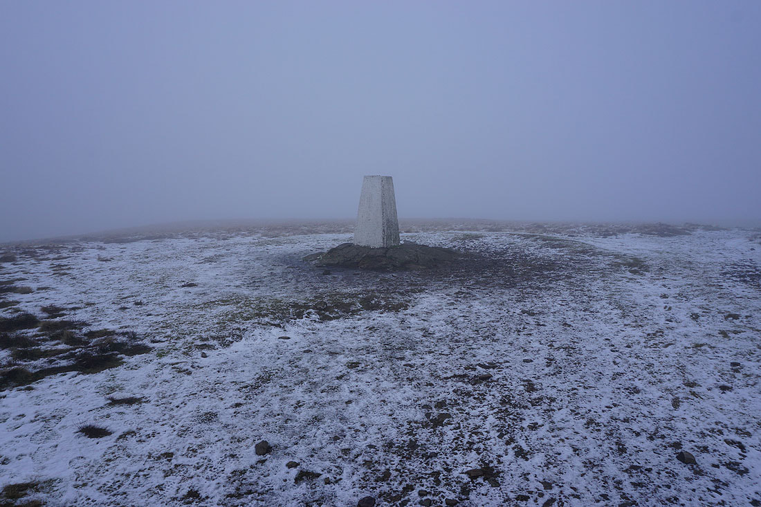
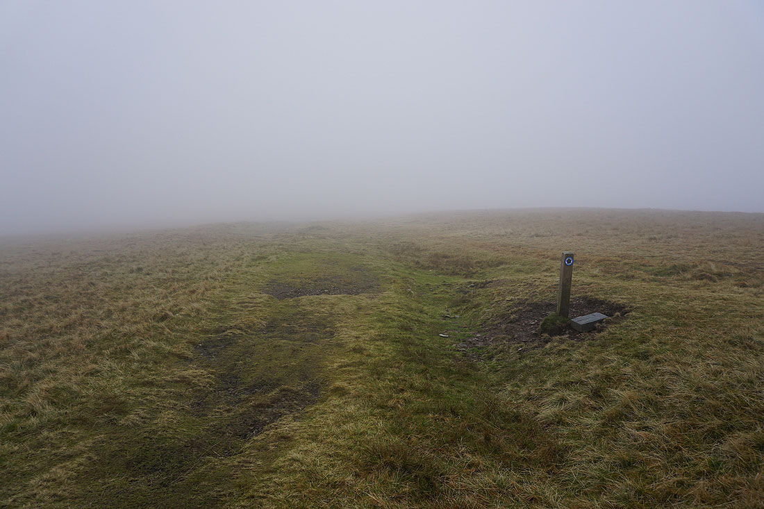
At the trig point on The Calf. It's not very pleasant up here.
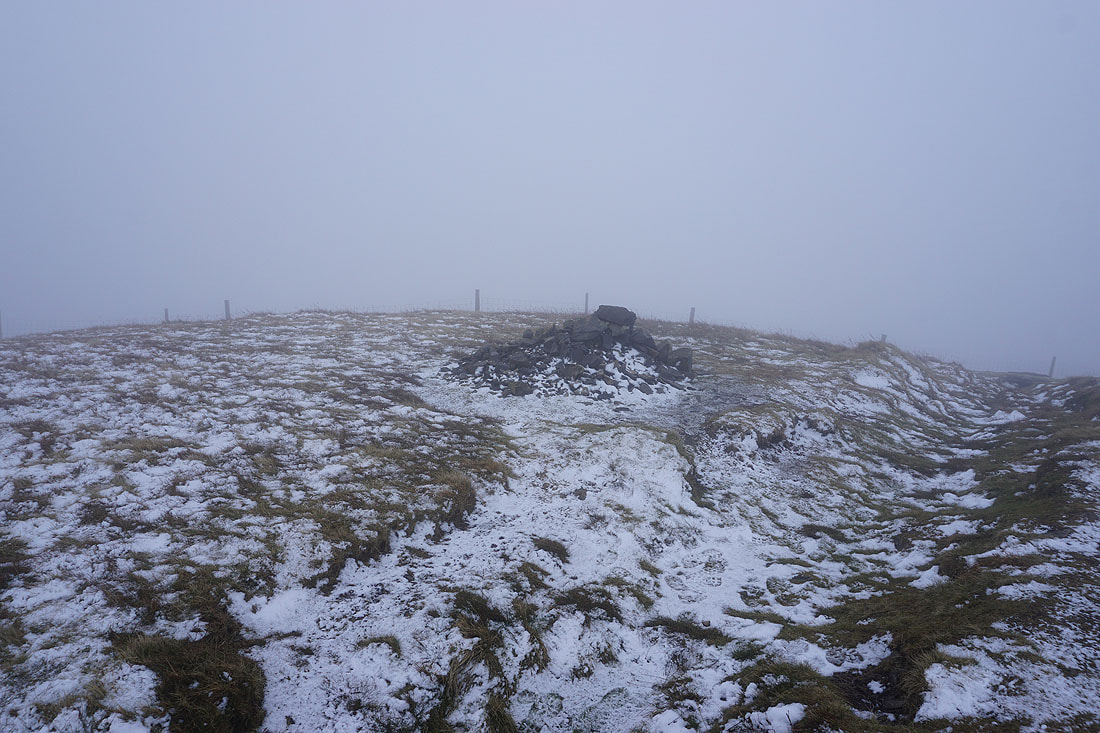
Back at the cairn on Calders
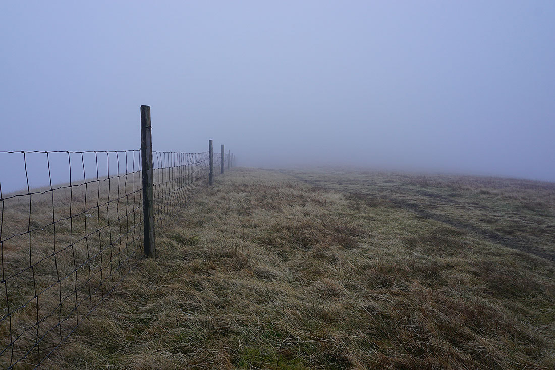
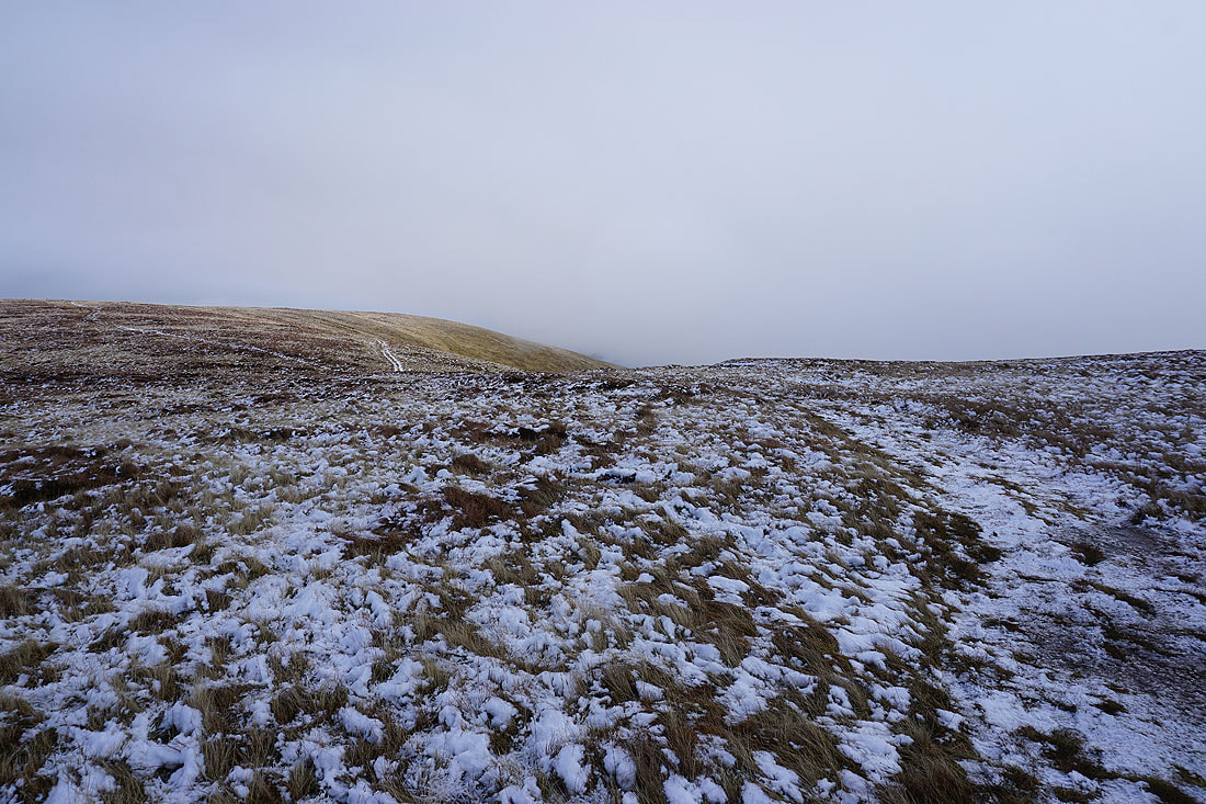
Following the fence across Rowantree Grains
The bridleway to Sedbergh bypasses Arant Haw..
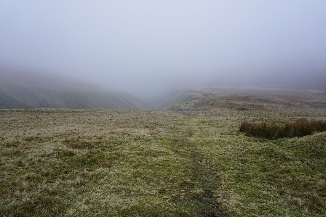
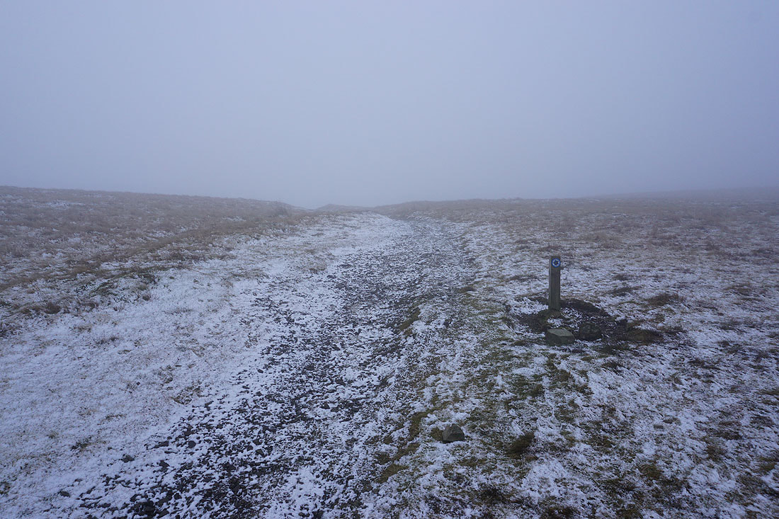
Heading for Settlebeck Gill

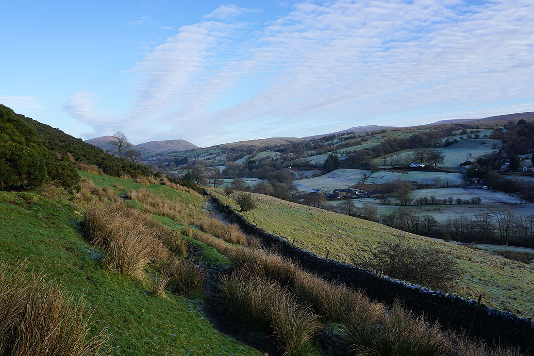
Sedbergh appears below as I finally drop below the cloud base
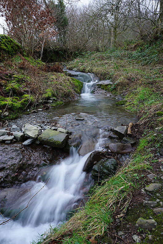
Settlebeck Gill
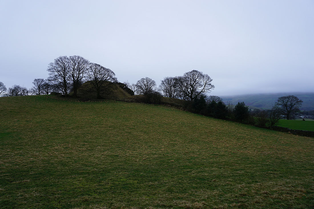
The Motte and Bailey of Castlehaw Tower
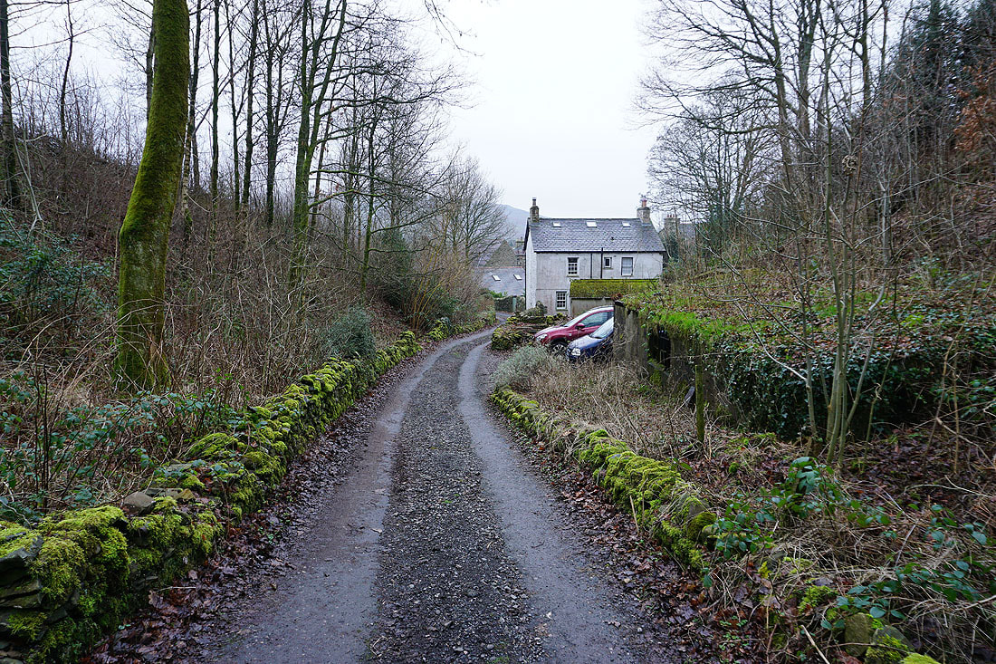
Heading down Castlehaw Lane into Sedbergh
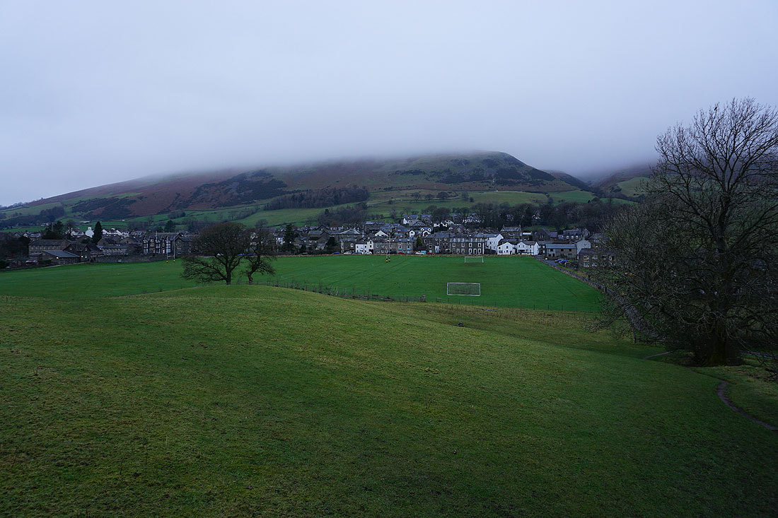
Sedbergh and a cloud topped Winder
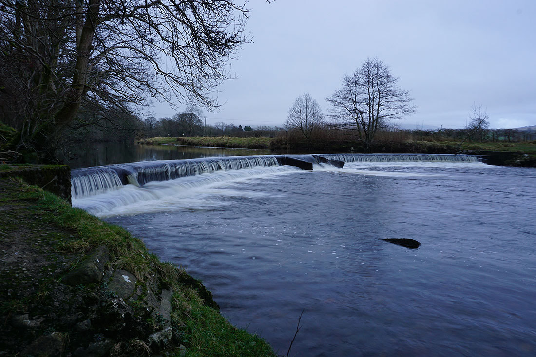
A few photos of the River Rawthey as I follow the path by it back to New Bridge...

