19th July 2013 - Knockanaffrin, Ireland
Walk Details
Another evening walk as me and Brian head for the Nire valley and the Comeragh Mountains to climb Knockanaffrin. It took us about 2.5 hrs to do the approximately 5 miles to Knockanaffrin and back. The first half to the summit was on a clear path but our route of descent was pathless.
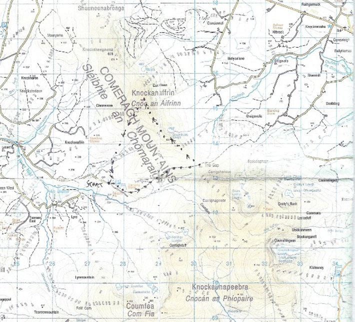
I've included a copy of the route we followed below.
I've included a copy of the route we followed below.
Route map
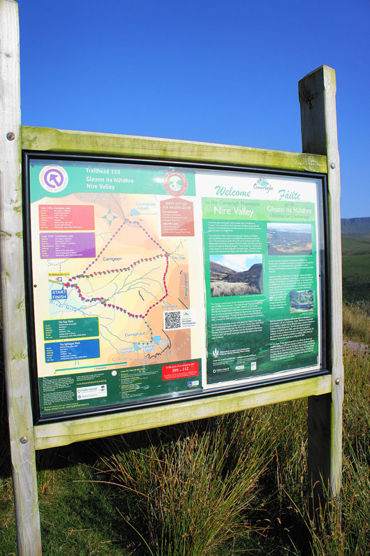
The notice board in the car park provides information on the Nire Valley and the Comeragh Mountains as well as suggestions for routes to follow
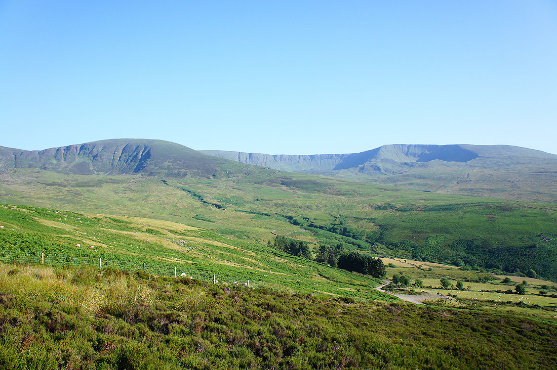
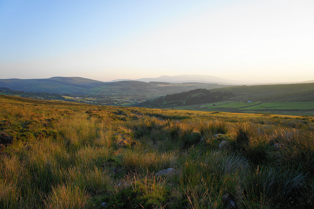
Curraghduff and Coumfea to the south as we set off from the car park
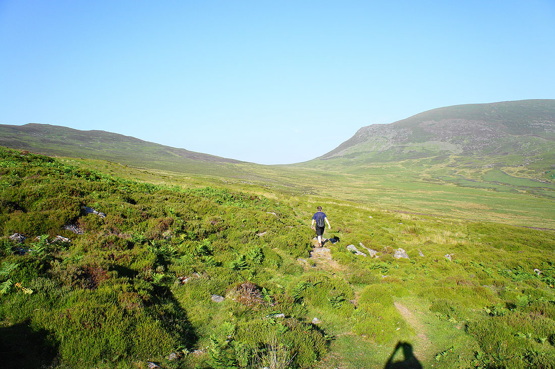
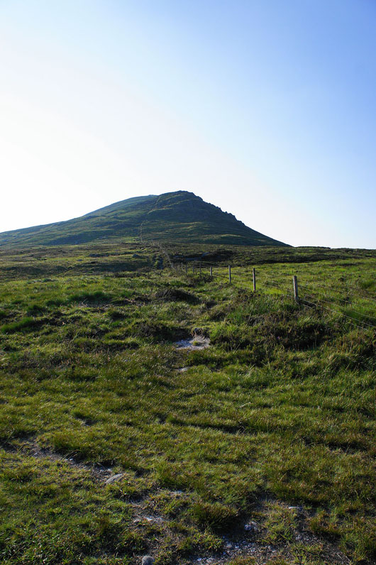
Heading for the gap and then we'll turn left
At the gap and to the south is the steep face of Carrigshaneun
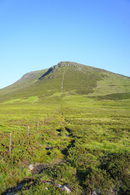
Looking in the other direction is our route to the top of Knockanaffrin
A pause in the ascent to appreciate the expanding views
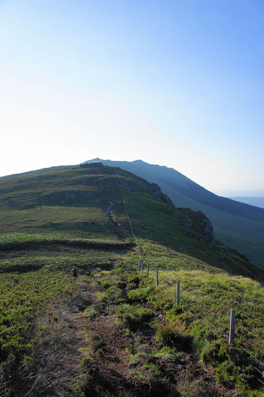
A false summit but the real one is not far behind
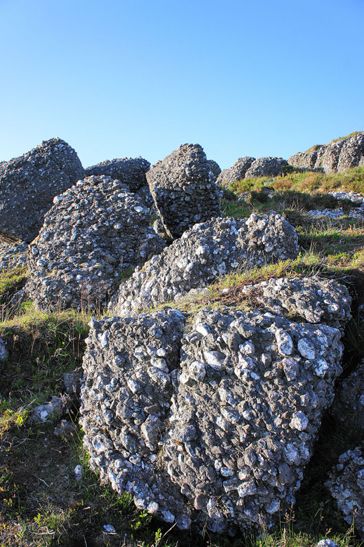
The rocks that make up Knockanaffrin are rough and seem to be a conglomerate of what looks like quartzite and other rocks
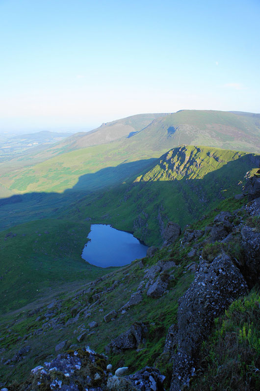
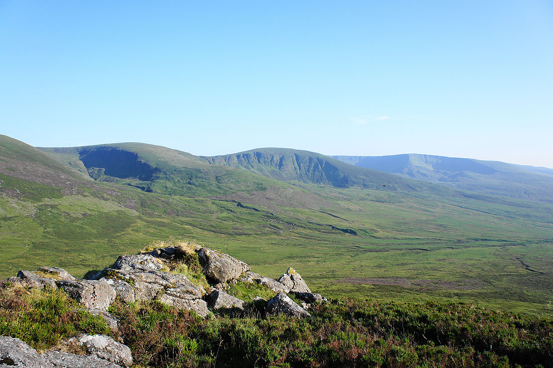
Coumduala Lough below
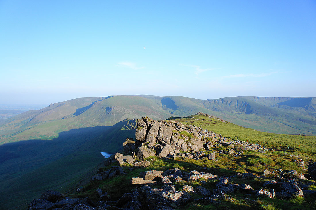
On the summit of Knockanaffrin. It's 20:15 and it's a lovely evening with a brisk breeze to temper the heat. Looking south to the rest of the Comeragh Mountains. Carrignagower is to the left with Curraghduff to the right.
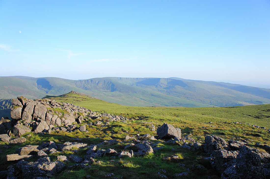
A little to the right and it's Curraghduff and Coumfea
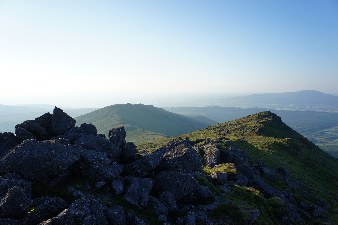
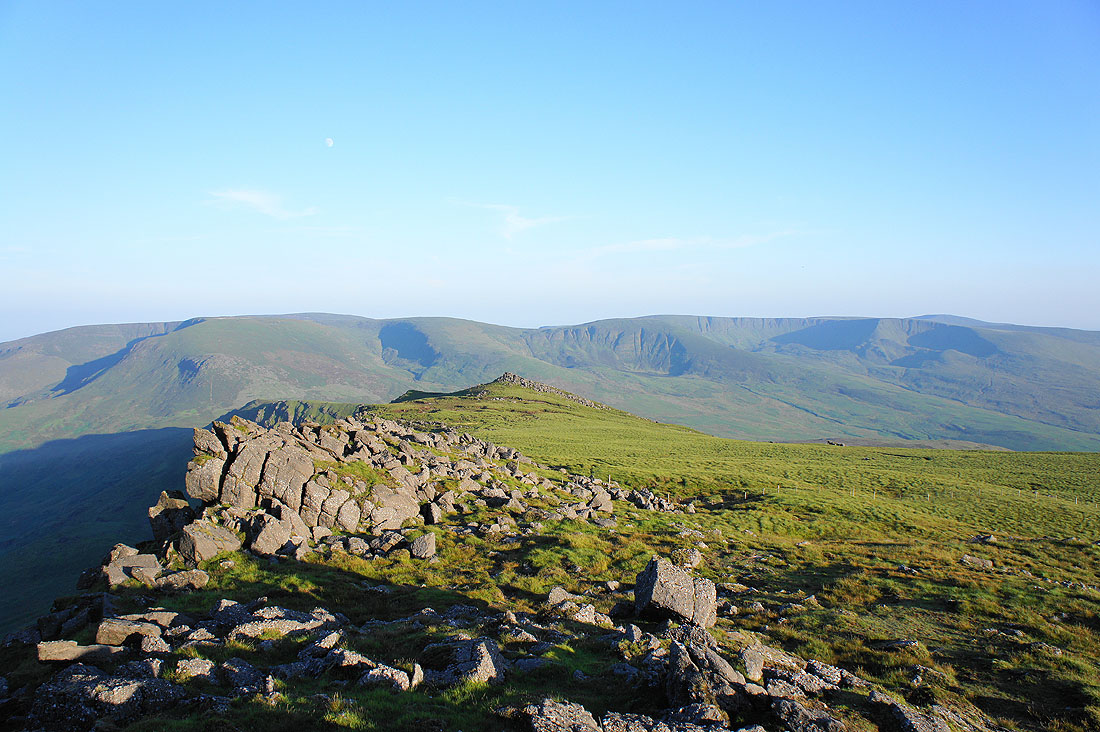
To the north the summit ridge drops then rises again to the top of Knocksheegowna
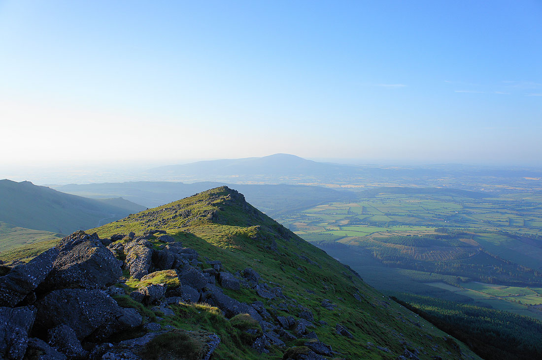
Slievenamon in the distance on the other side of the Suir valley
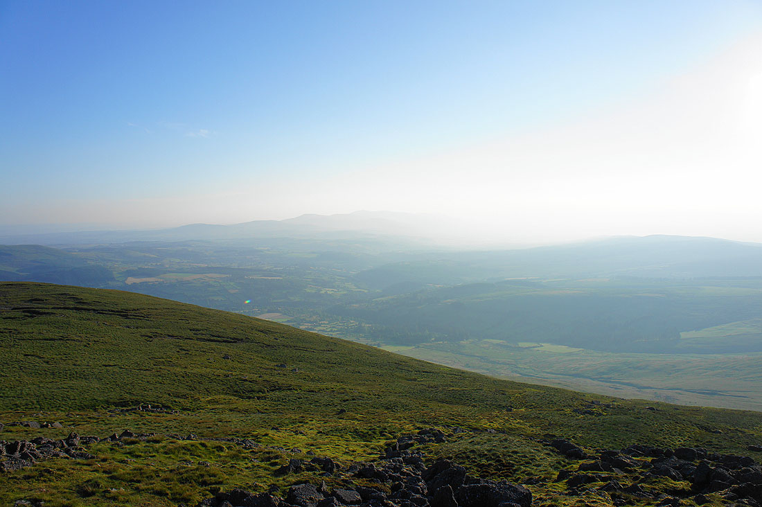
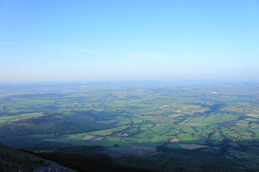
It's not easy to make them out through the haze but those hills in the distance are the Knockmealdown Mountains
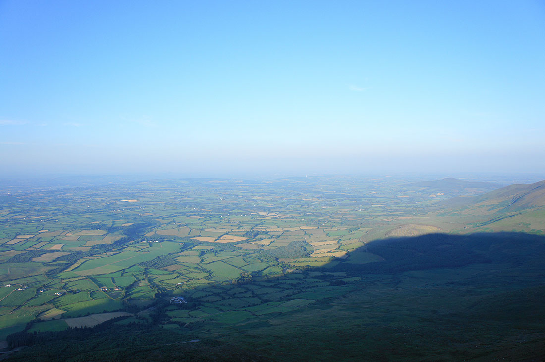
Hazy views to the east and northeast across County Waterford..
One last shot of Carrignagower, Curraghduff and Coumfea before we head down
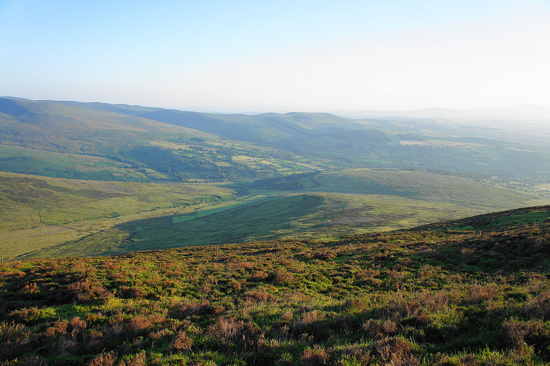
A pathless descent through heather. We're heading down the ridge then crossing the valley below to the left. The Nire valley runs away to the right.
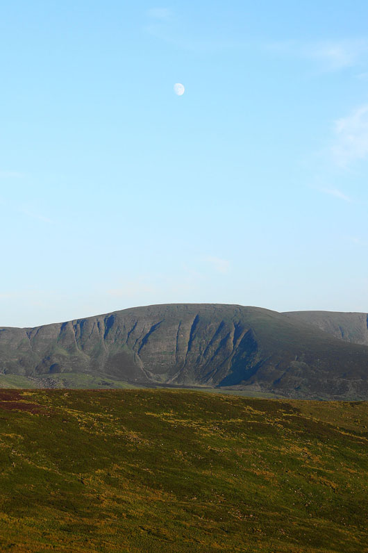
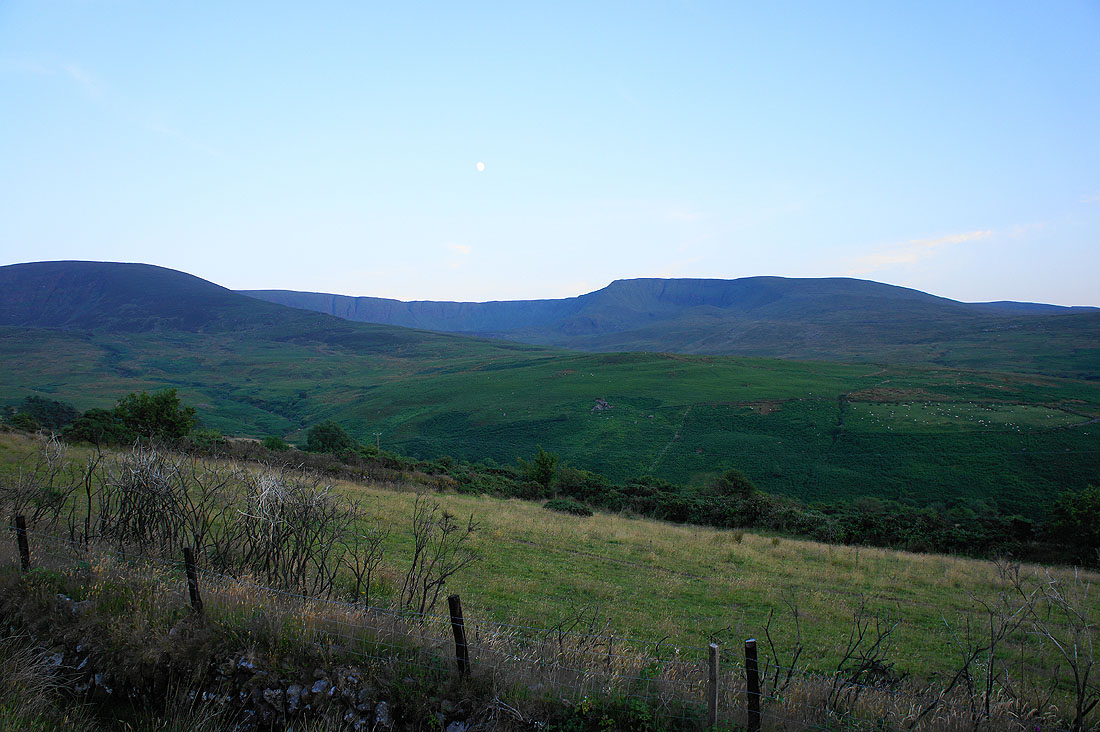
Moon above Curraghduff
Not far to go and the sun is setting fast
Back at the car park with Coumfea in the last of the light