19th July 2020 - Whernside
Walk Details
Distance walked: 13.3 miles
Total ascent: 1847 ft
OS map used: OL2 - Yorkshire Dales, Southern & Western areas
Time taken: 7 hrs
Route description: Ribblehead-Gunnerfleet Farm-Ivescar-Bruntscar-Ellerbeck-Blake Bank-Scales Moor-West Fell-Combe Scar-Whernside-Whernside Tarns-Dales High Way-Ribblehead
It's been a few months since I was last on the high fells, and I was in two minds about whether it should be Ingleborough or Whernside that I would visit today. In the end I plumped for Whernside and I route that I've done before, taking in the fell's southwest ridge and Whernside Tarns. For most of the time this is a quiet walk, which is what I'm looking for, except for when it coincides with the popular route up from Ribblehead, and unsurprisingly that part was very busy today. It was a bright and fresh summer's day for my return to the high fells, with a mix of sunny spells, fair weather clouds and a strong westerly breeze. The definite highlight of the day was the view from the cairns on the hillside near Whernside Tarns.
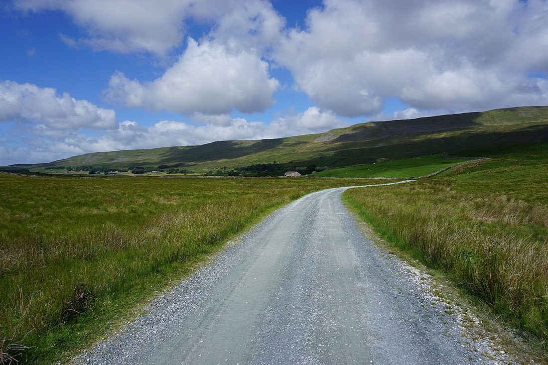
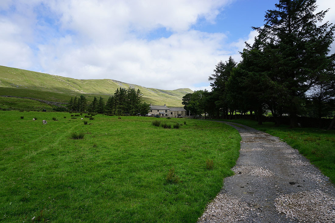
From the laybys at Ribblehead I set off by taking the track to and under the viaduct to reach Gunnerfleet Farm. Here I turned right onto the byway to Winterscales and when that came to an end I turned left onto the bridleway to Scar End. I followed this southwest past Ivescar, Broadrake, Bruntscar and Ellerbeck to reach the moorland of Blake Bank and Scales Moor. It was at this point that I decided to find a convenient place to get onto Whernside's southwest ridge. Once on it there was a long, gradual ascent up West Fell and Combe Scar (a convenient place to have lunch was found here) to finally arrive on the summit of Whernside. After taking in the view I continued by taking the main path back to Ribblehead as it heads north but just before it turns to the right and goes downhill I crossed a stile to gain access to the moorland where Whernside Tarns are situated. A fairly clear path heads north towards them and the cairns beyond. I then had to head north again to the right of the easternmost of a set of enclosures to the find the trail of the Dales High Way. I followed this east then south, down Little Dale, and all the way to Bleamoor Sidings before leaving it for the path back to Ribblehead.
Total ascent: 1847 ft
OS map used: OL2 - Yorkshire Dales, Southern & Western areas
Time taken: 7 hrs
Route description: Ribblehead-Gunnerfleet Farm-Ivescar-Bruntscar-Ellerbeck-Blake Bank-Scales Moor-West Fell-Combe Scar-Whernside-Whernside Tarns-Dales High Way-Ribblehead
It's been a few months since I was last on the high fells, and I was in two minds about whether it should be Ingleborough or Whernside that I would visit today. In the end I plumped for Whernside and I route that I've done before, taking in the fell's southwest ridge and Whernside Tarns. For most of the time this is a quiet walk, which is what I'm looking for, except for when it coincides with the popular route up from Ribblehead, and unsurprisingly that part was very busy today. It was a bright and fresh summer's day for my return to the high fells, with a mix of sunny spells, fair weather clouds and a strong westerly breeze. The definite highlight of the day was the view from the cairns on the hillside near Whernside Tarns.
From the laybys at Ribblehead I set off by taking the track to and under the viaduct to reach Gunnerfleet Farm. Here I turned right onto the byway to Winterscales and when that came to an end I turned left onto the bridleway to Scar End. I followed this southwest past Ivescar, Broadrake, Bruntscar and Ellerbeck to reach the moorland of Blake Bank and Scales Moor. It was at this point that I decided to find a convenient place to get onto Whernside's southwest ridge. Once on it there was a long, gradual ascent up West Fell and Combe Scar (a convenient place to have lunch was found here) to finally arrive on the summit of Whernside. After taking in the view I continued by taking the main path back to Ribblehead as it heads north but just before it turns to the right and goes downhill I crossed a stile to gain access to the moorland where Whernside Tarns are situated. A fairly clear path heads north towards them and the cairns beyond. I then had to head north again to the right of the easternmost of a set of enclosures to the find the trail of the Dales High Way. I followed this east then south, down Little Dale, and all the way to Bleamoor Sidings before leaving it for the path back to Ribblehead.
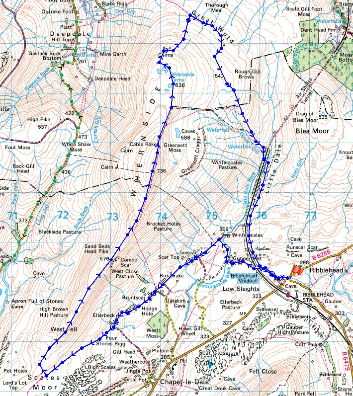
Route map
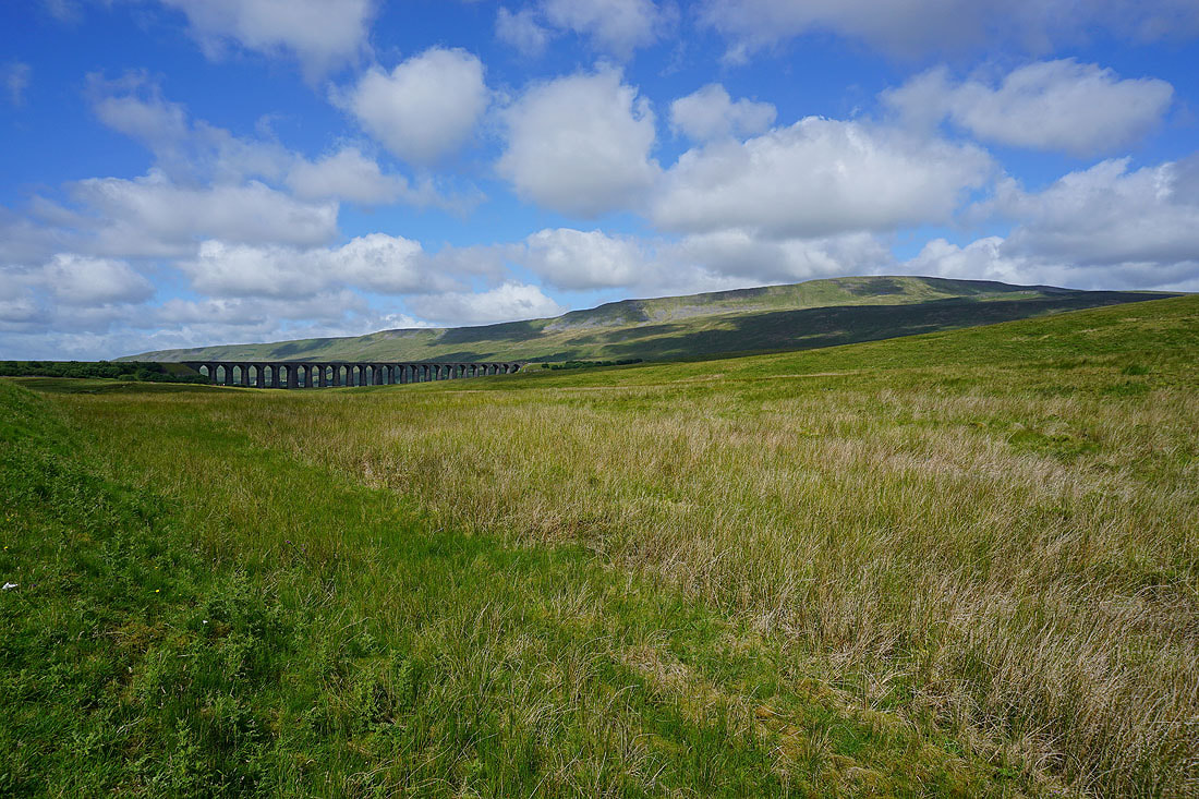
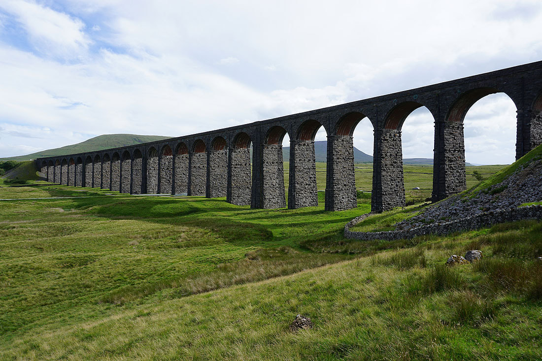
The Ribblehead Viaduct and Whernside as I set off from Ribblehead
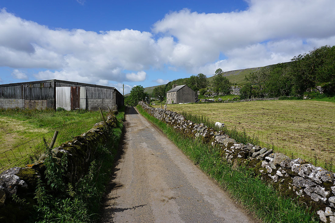
On the bridleway to Gunnerfleet Farm
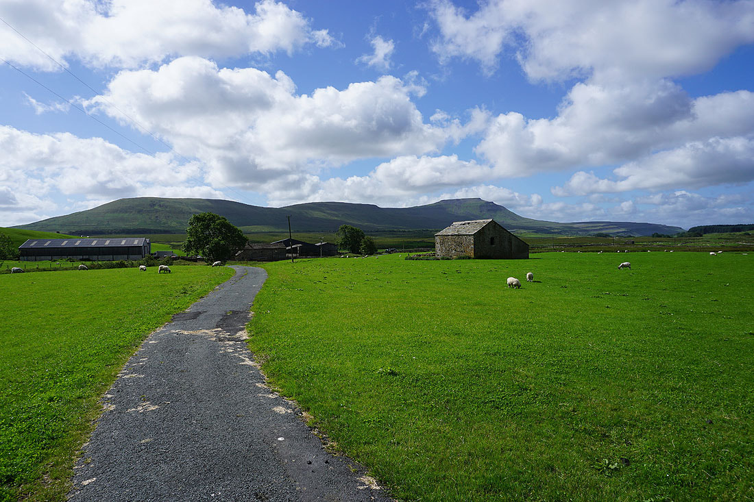
Park Fell, Simon Fell and Ingleborough behind Gunnerfleet Farm
On the bridleway past Ivescar Farm
Simon Fell and Ingleborough
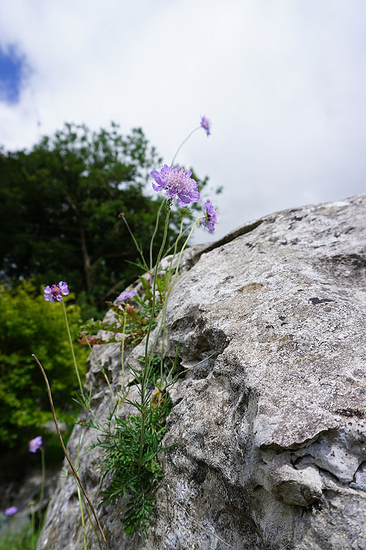
Small Scabious eke out an existence on a limestone boulder
The Ribblehead Viaduct can still be seen in the distance
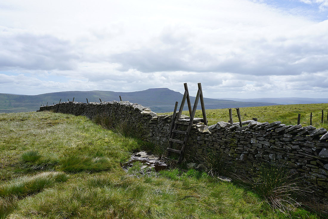
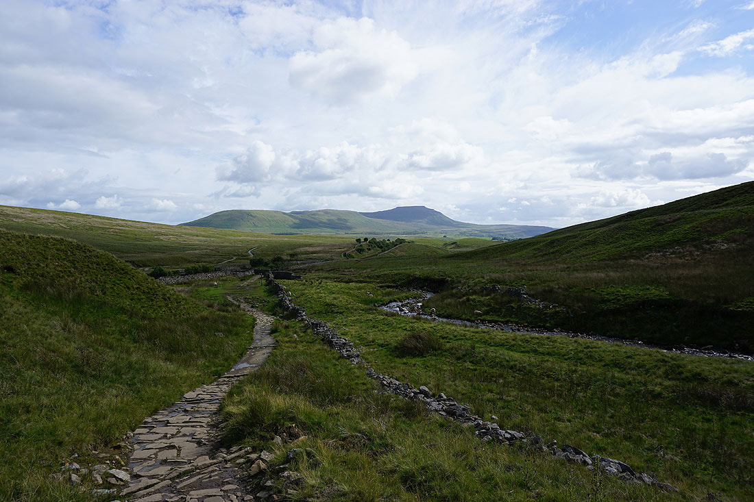
Whernside above Ellerbeck
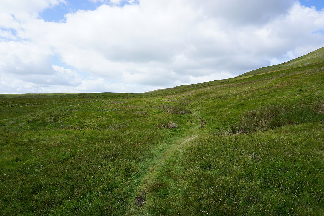
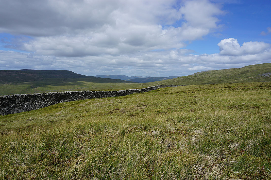
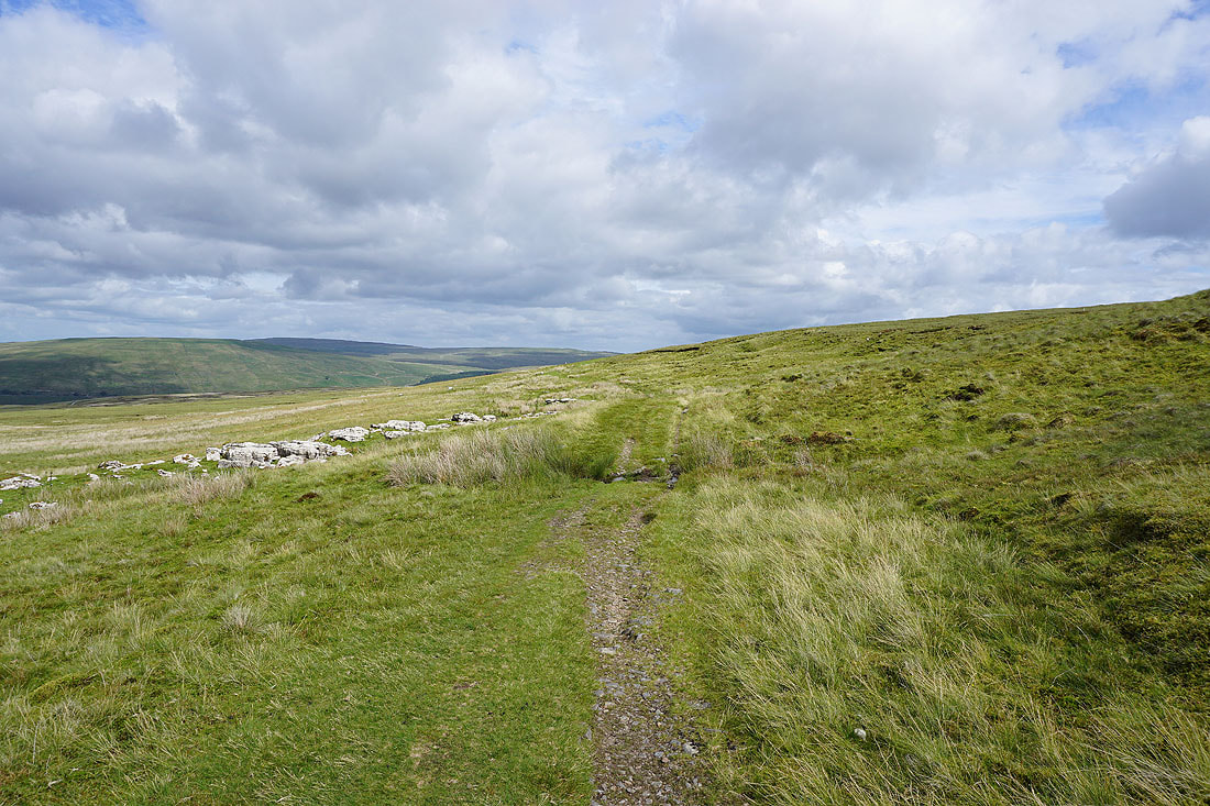
The bridleway to Scar End heads across Blake Bank Moss
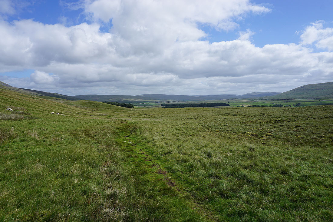
Looking back to a distant Ribblehead Viaduct
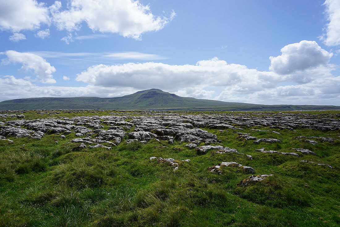
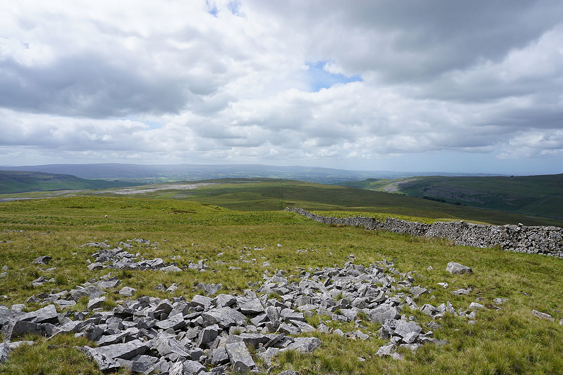
Ingleborough from the limestone pavement on Scales Moor
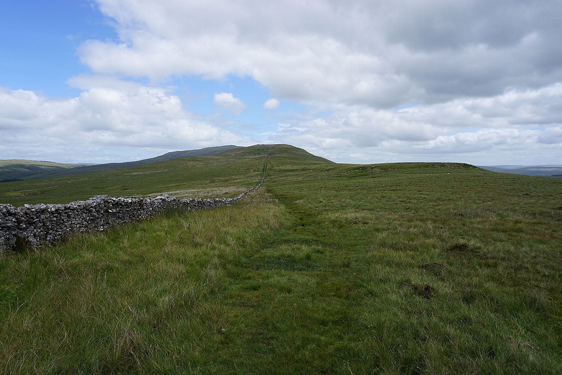
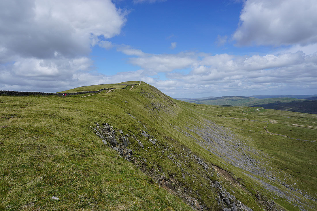
Time to start the long climb to Whernside's distant summit
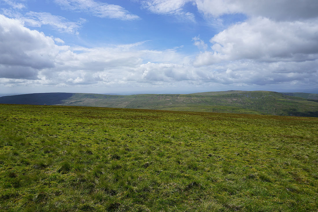
Looking back down the ridge to Scar End, and a distant Forest of Bowland, as I reach West Fell..
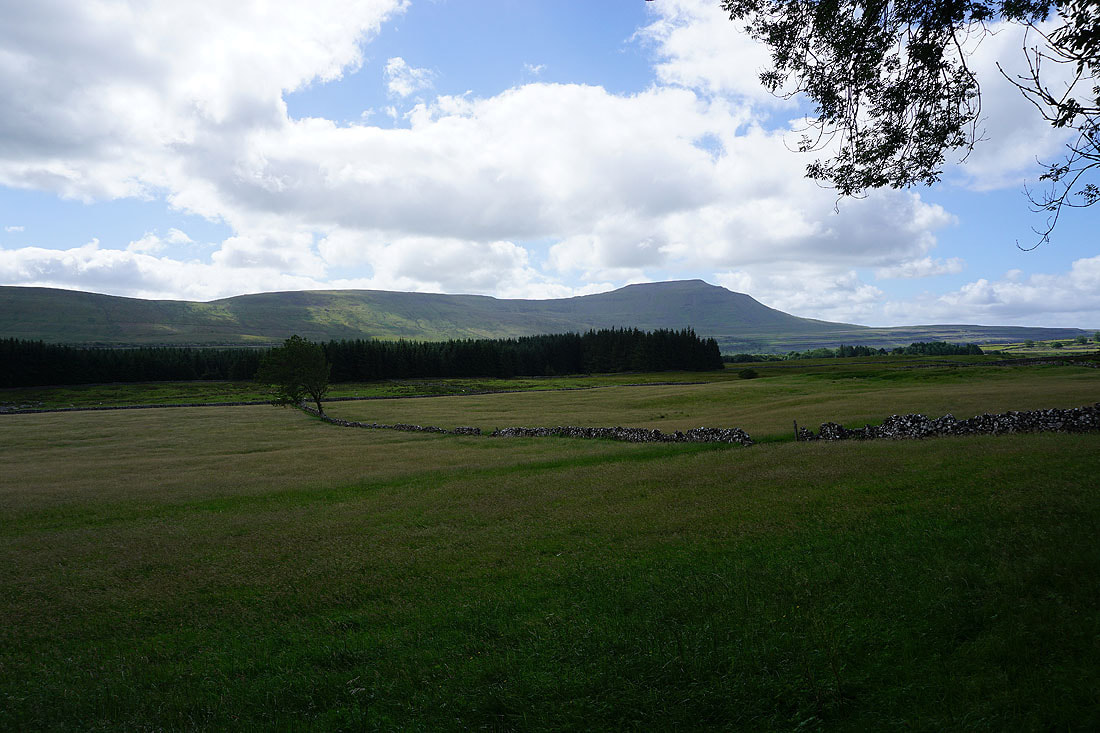
..and across Chapel-le-Dale to Ingleborough
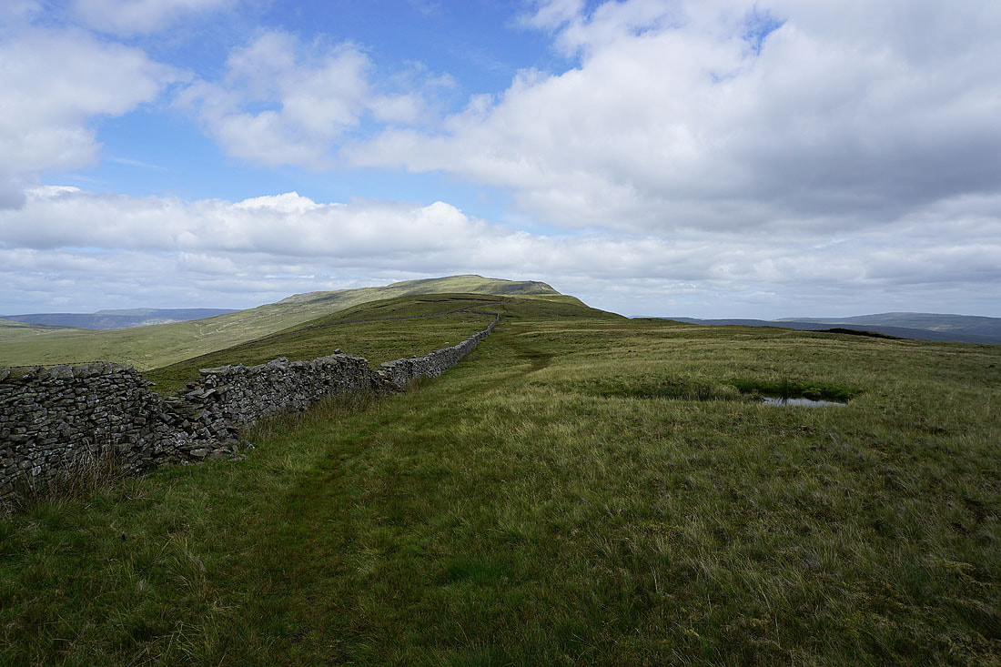
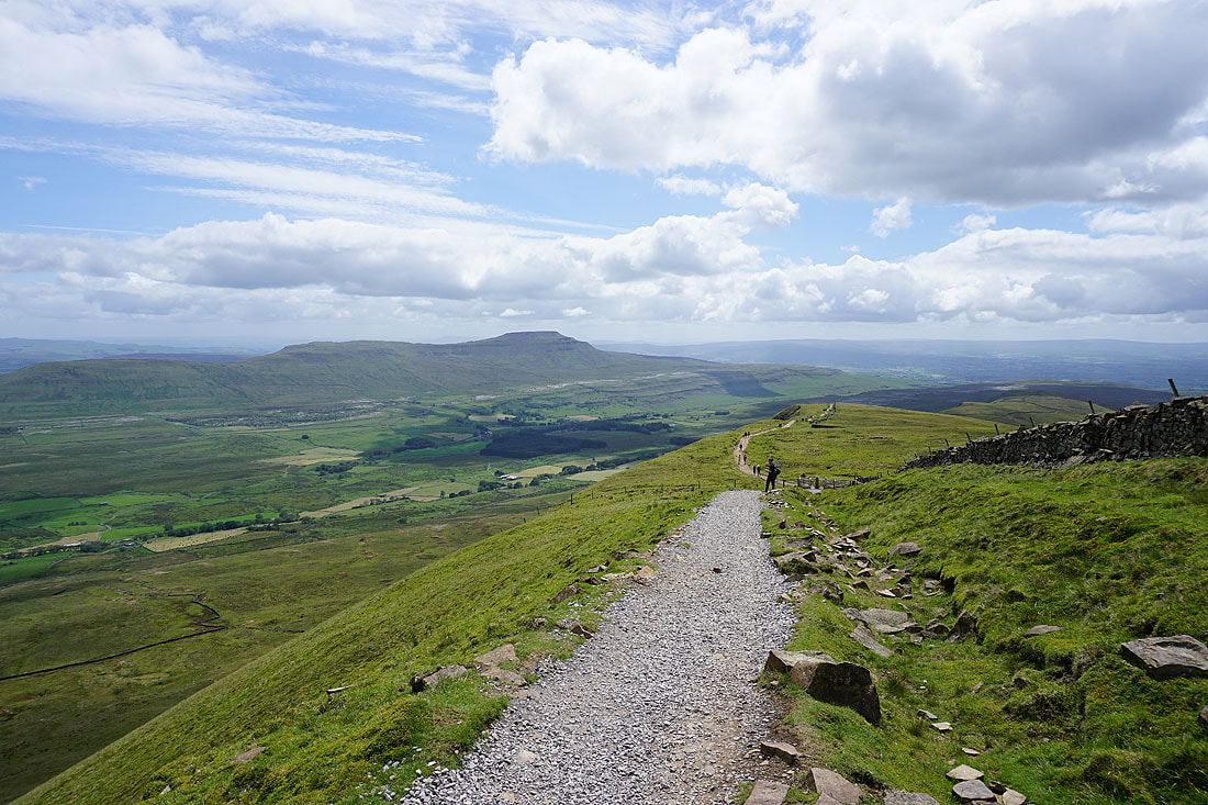
The summit of Whernside is now in sight
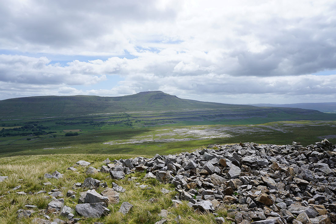
Ingleborough as I reach Combe Scar
The Howgills visible through the gap in the hills taken by the Kingsdale to Deepdale road
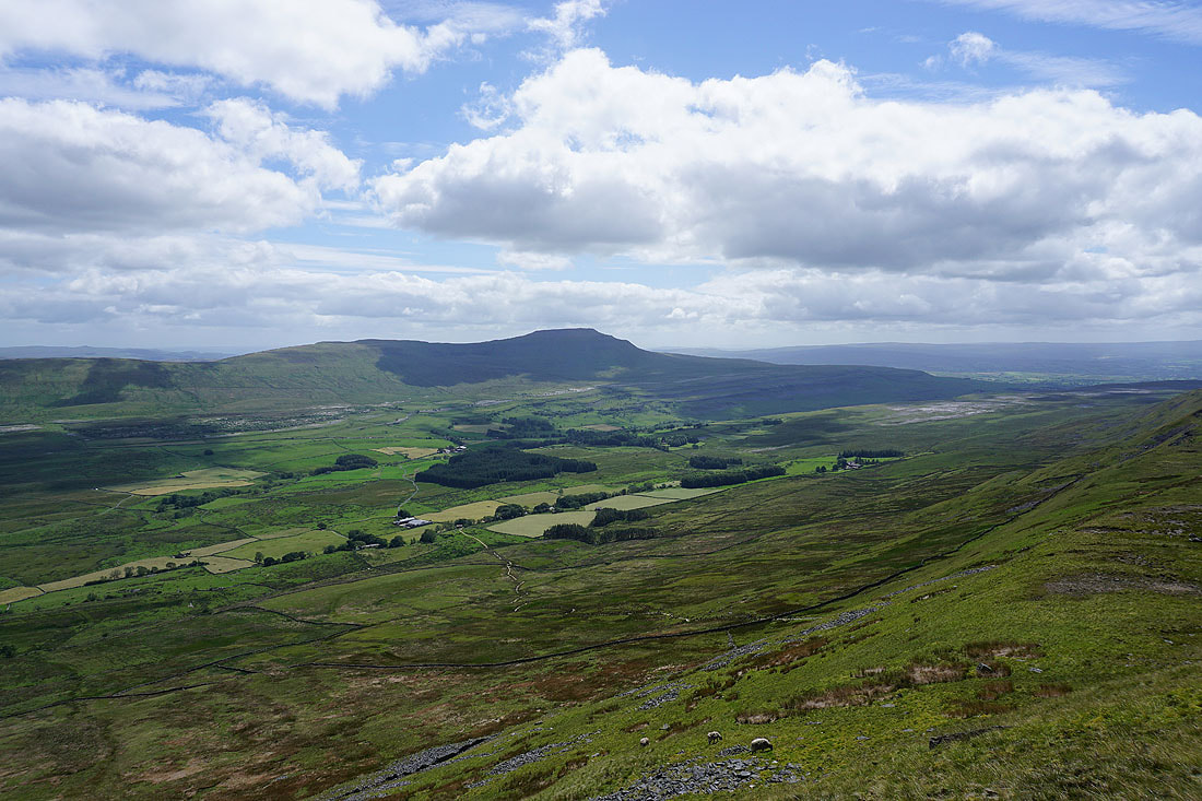
A great view across Chapel-le-Dale to Ingleborough as I reach the final climb to the summit
Whernside's steep east face
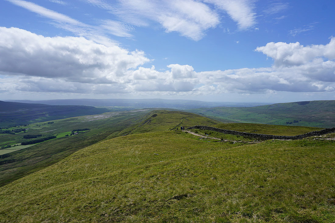
Looking down the summit ridge to the Forest of Bowland in the distance
The Ribblehead Viaduct below
Ingleborough from the summit of Whernside
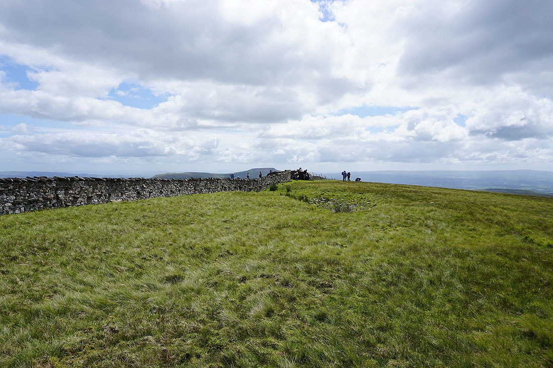
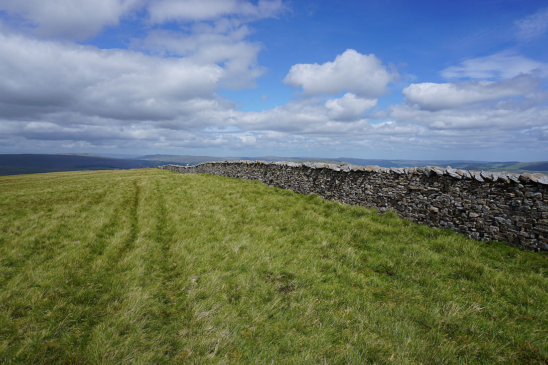
It's very busy up here today. Not that surprising given that it's the time of year when Yorkshire Three Peaks walks are done. I find a spot on the quiet side of the summit wall to take in the view.
Gragareth, Green Hill and Great Coum to the west
Great Coum, the Howgills and some distant Lake District fells to the northwest
Wild Boar Fell, High Seat, Great Shunner Fell and Lovely Seat to the north
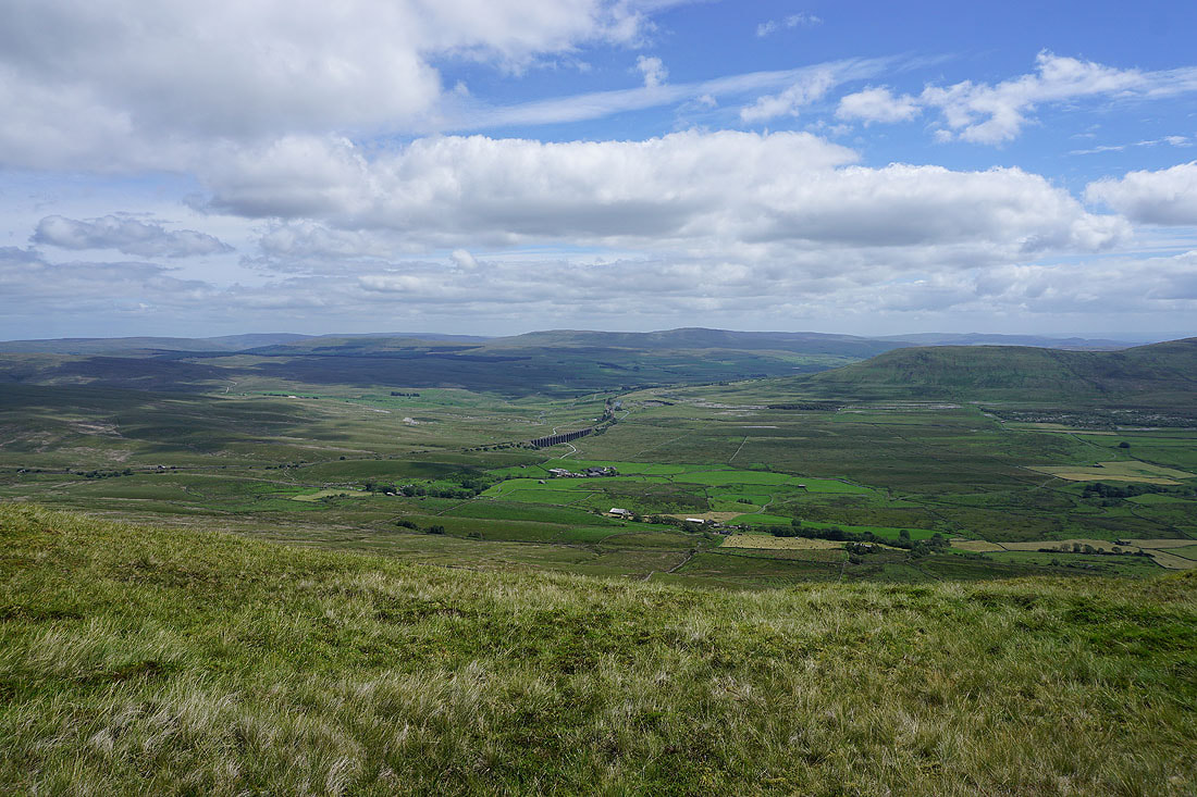
Back on the other side of the summit wall. Greensett Tarn below, with Great Shunner Fell, Great Knoutberry Hill, Lovely Seat, Wold Fell and Dodd Fell Hill in the distance.
Aye Gill Pike, Baugh Fell, Wild Boar Fell, High Seat, Great Shunner Fell and Great Knoutberry Hill as I head north from the summit
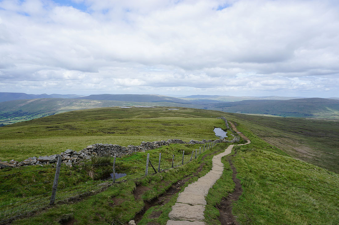
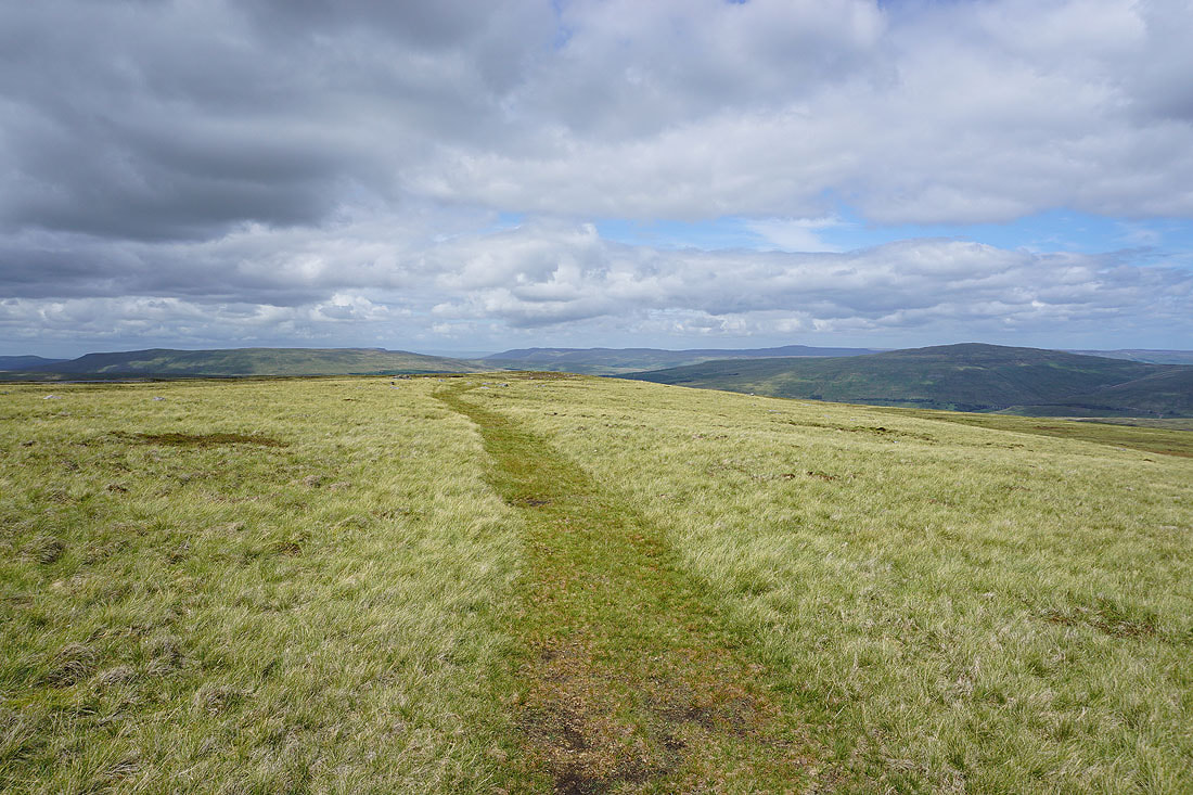
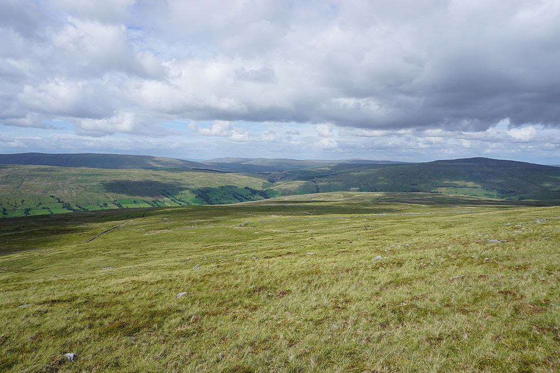
The main path has been left behind for the one to Whernside Tarns. Looking east to Dodd Fell Hill and Cam Fell.
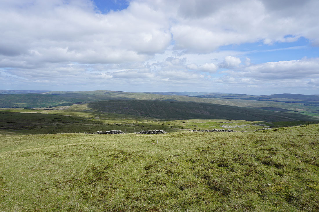
Baugh Fell, High Seat, Great Shunner Fell and Great Knoutberry Hill as I cross moorland to Whernside Tarns
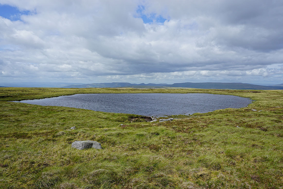
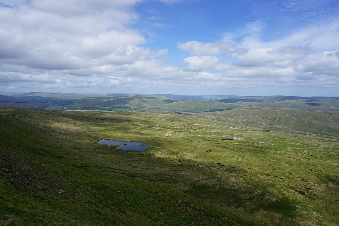
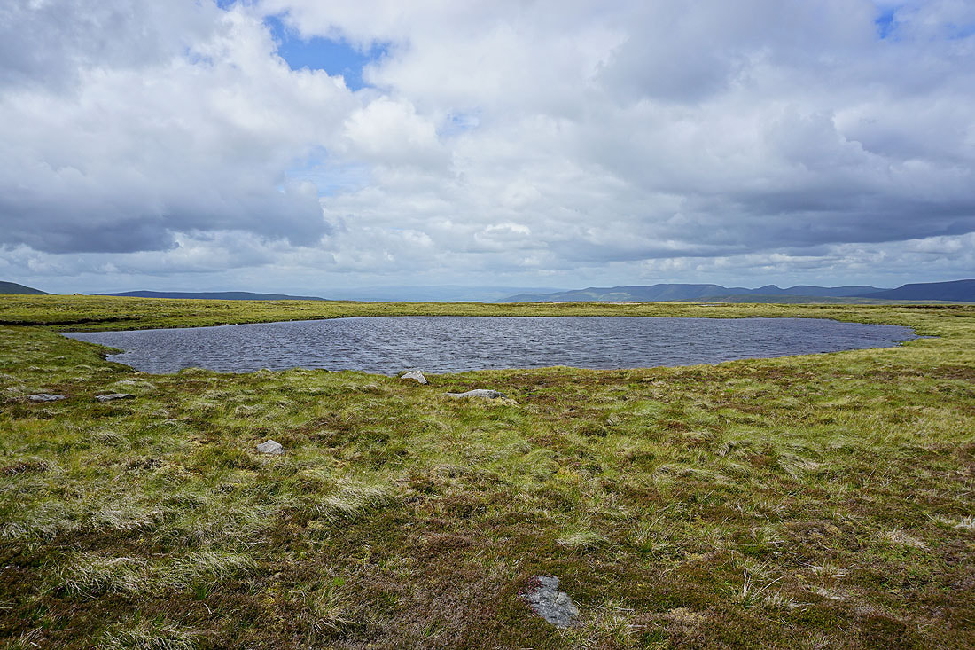
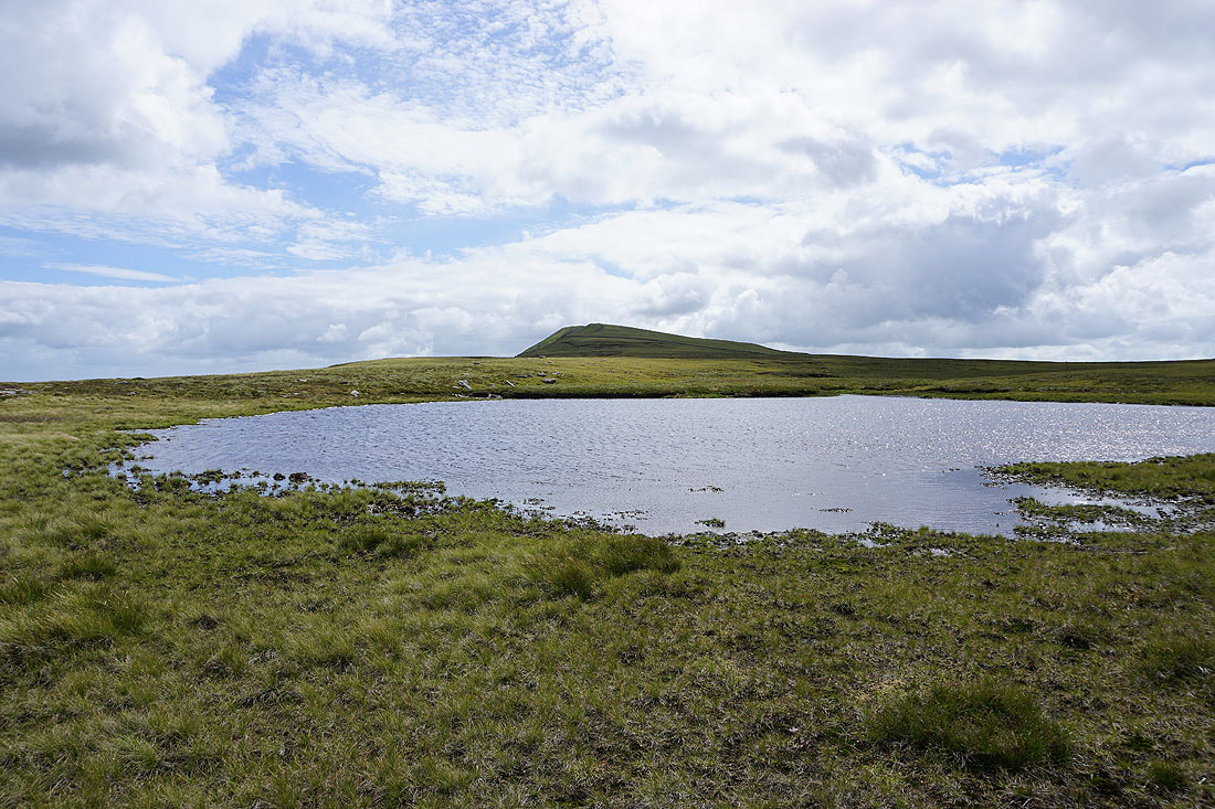
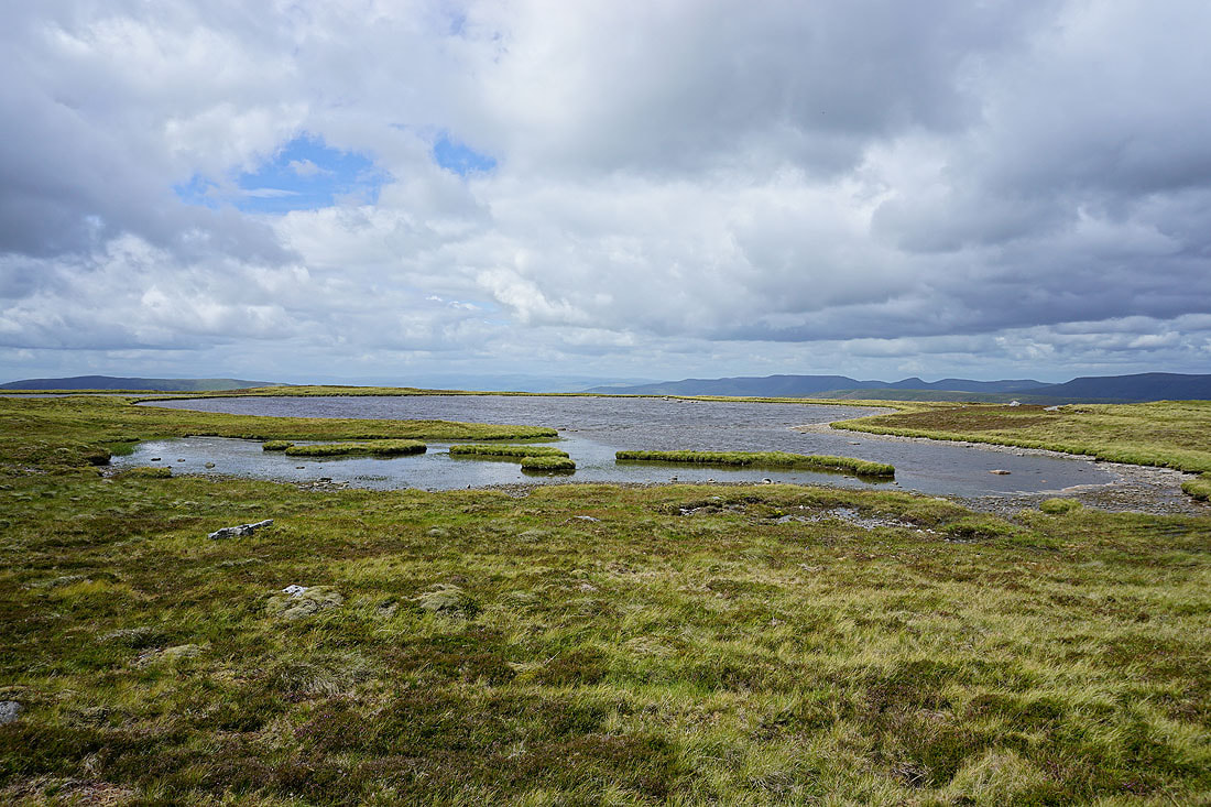
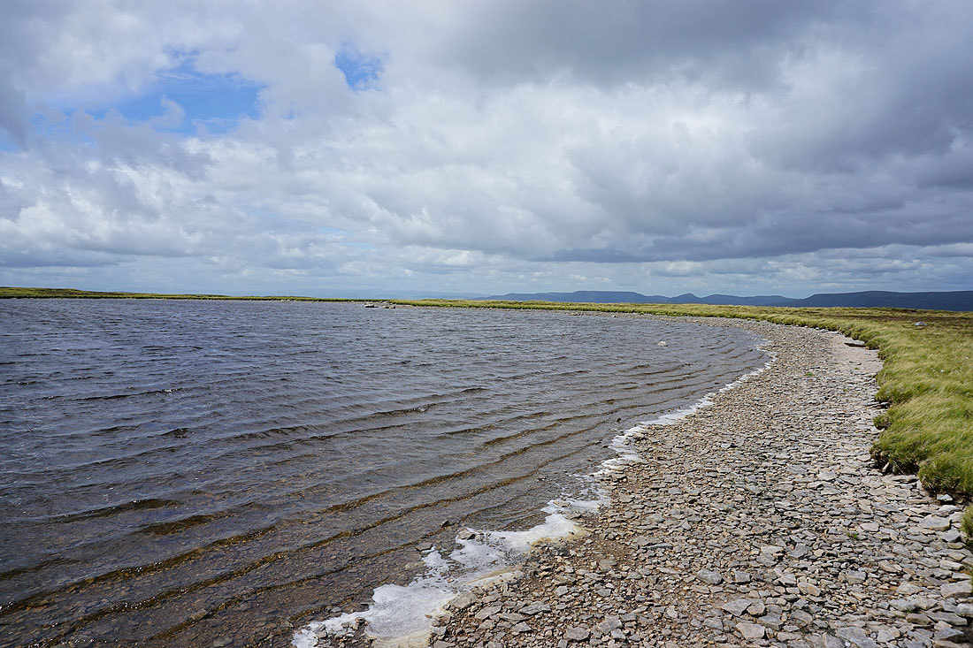
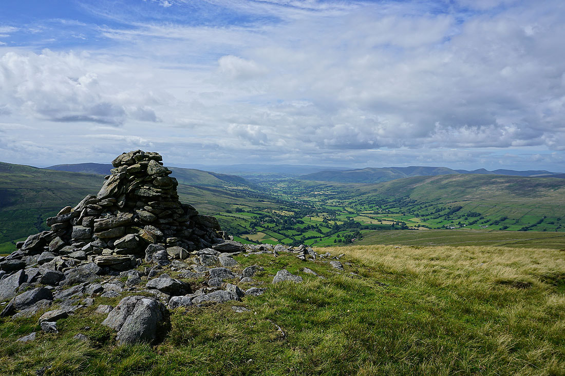
Great views from the windswept Whernside Tarns.....
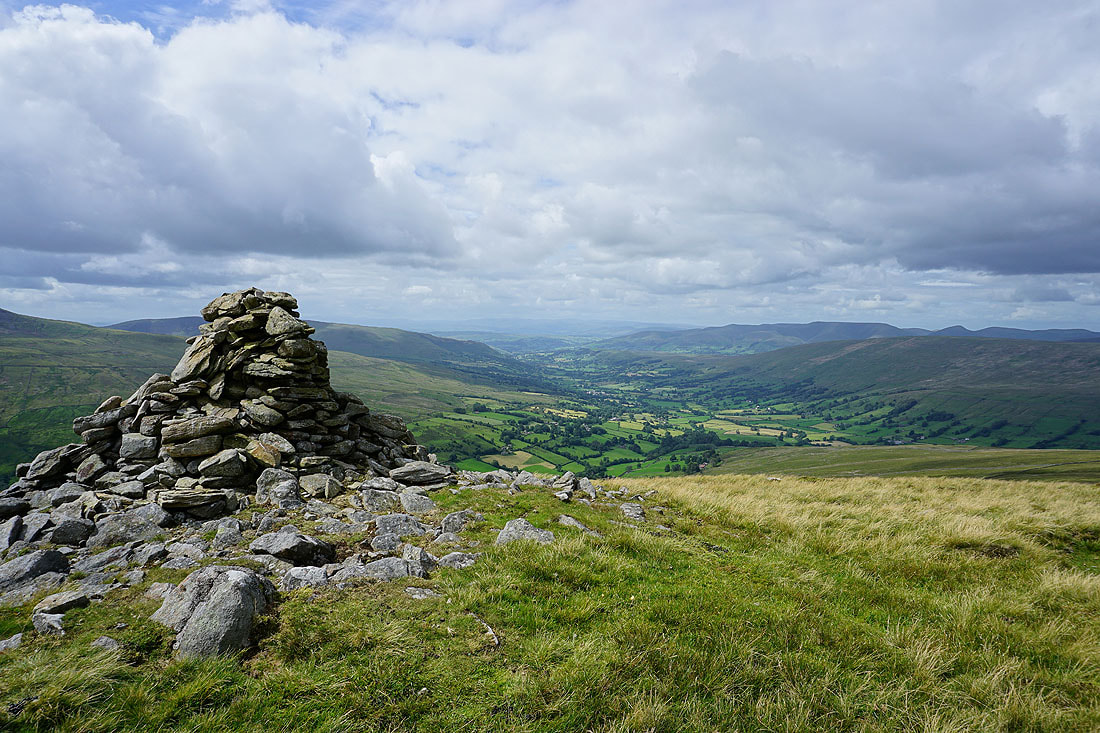
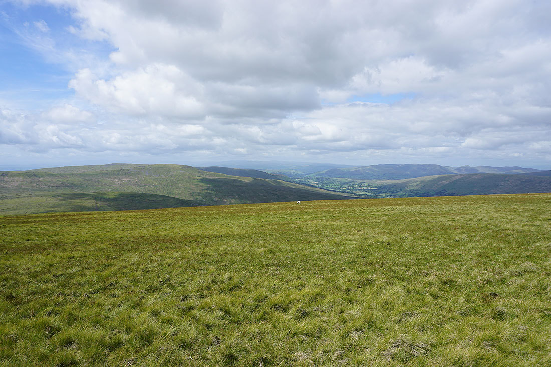
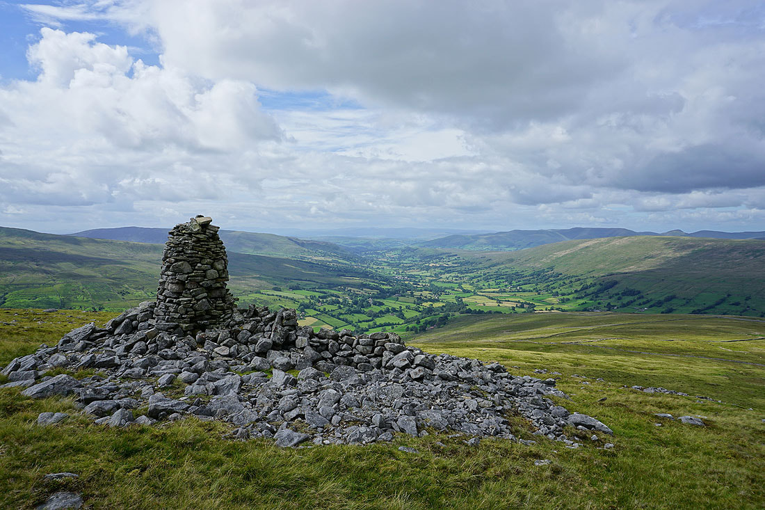
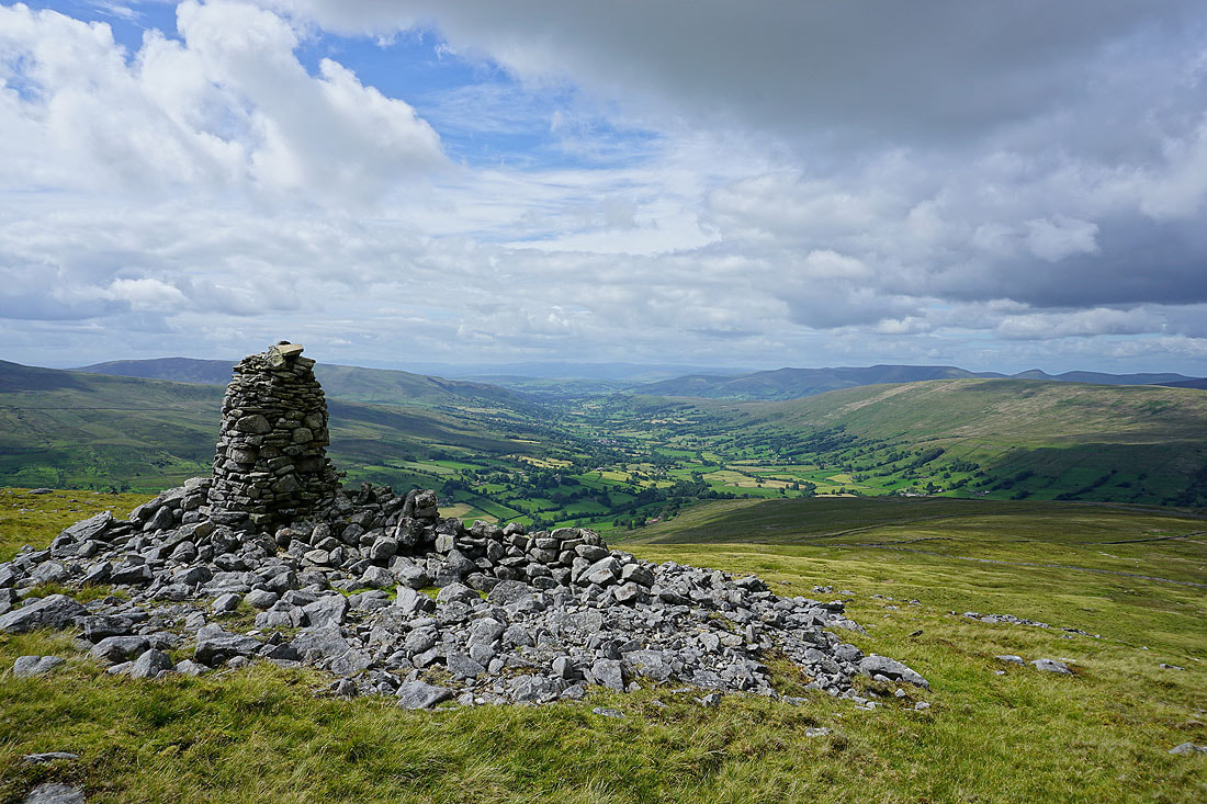
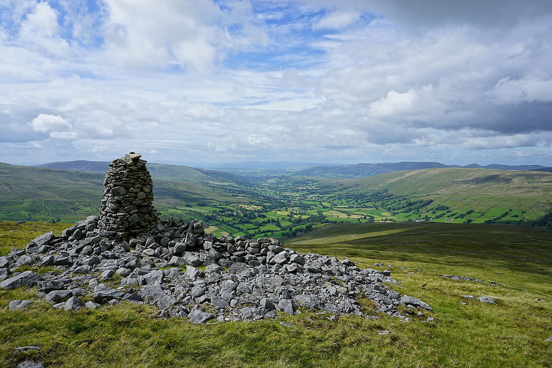
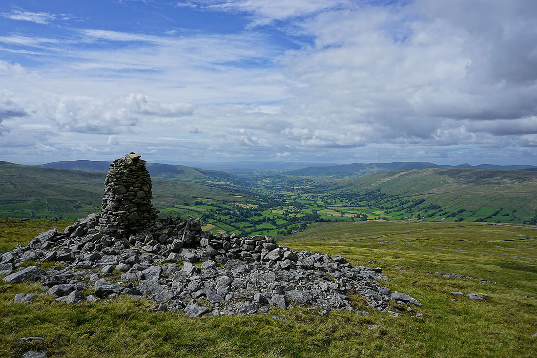
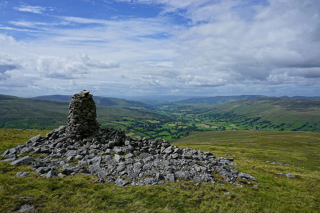
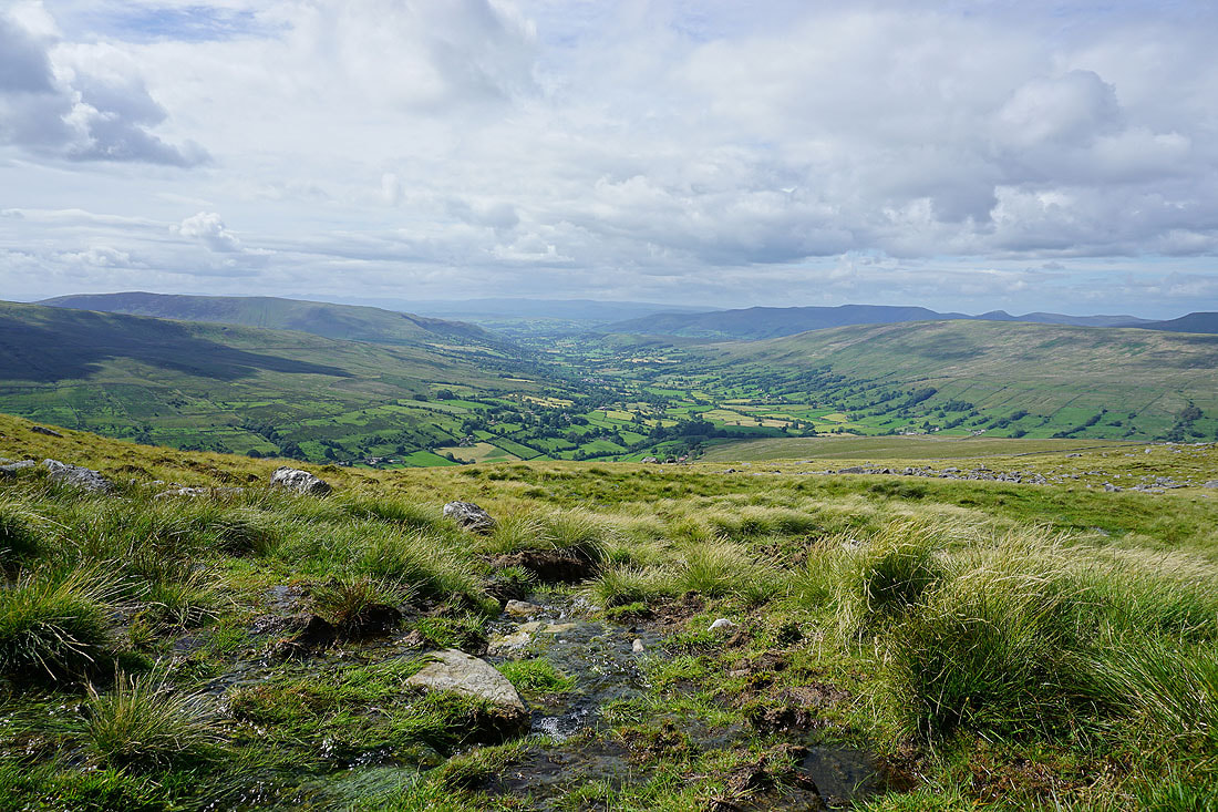
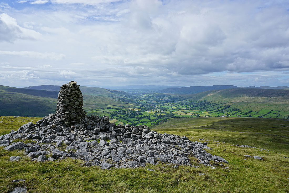
Two cairns on the shoulder of the moor above Deepdale have a fantastic view down Dentdale. It's the definite highlight of the walk and I spend a good thirty minutes here as the weather improves and more in the way of sunshine comes across.........
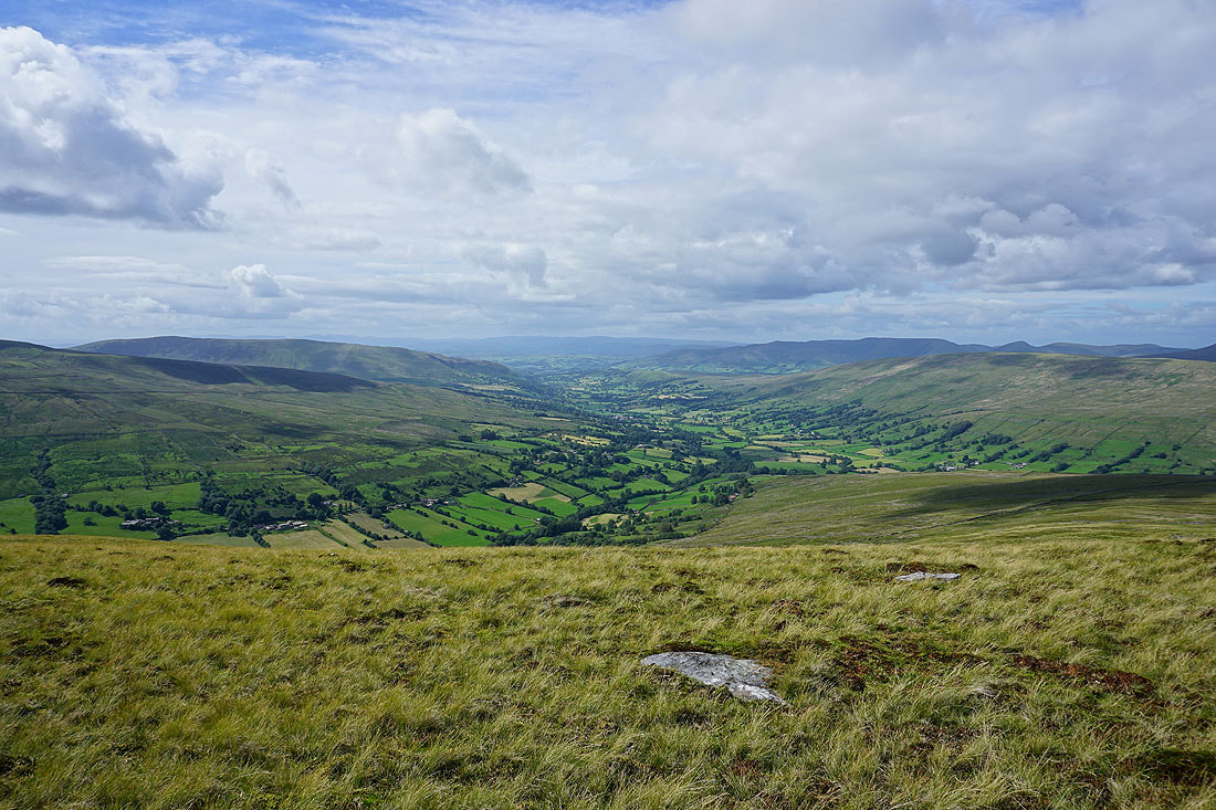
Looking towards the fells around Garsdale Head and Great Knoutberry Hill
One last shot of that view
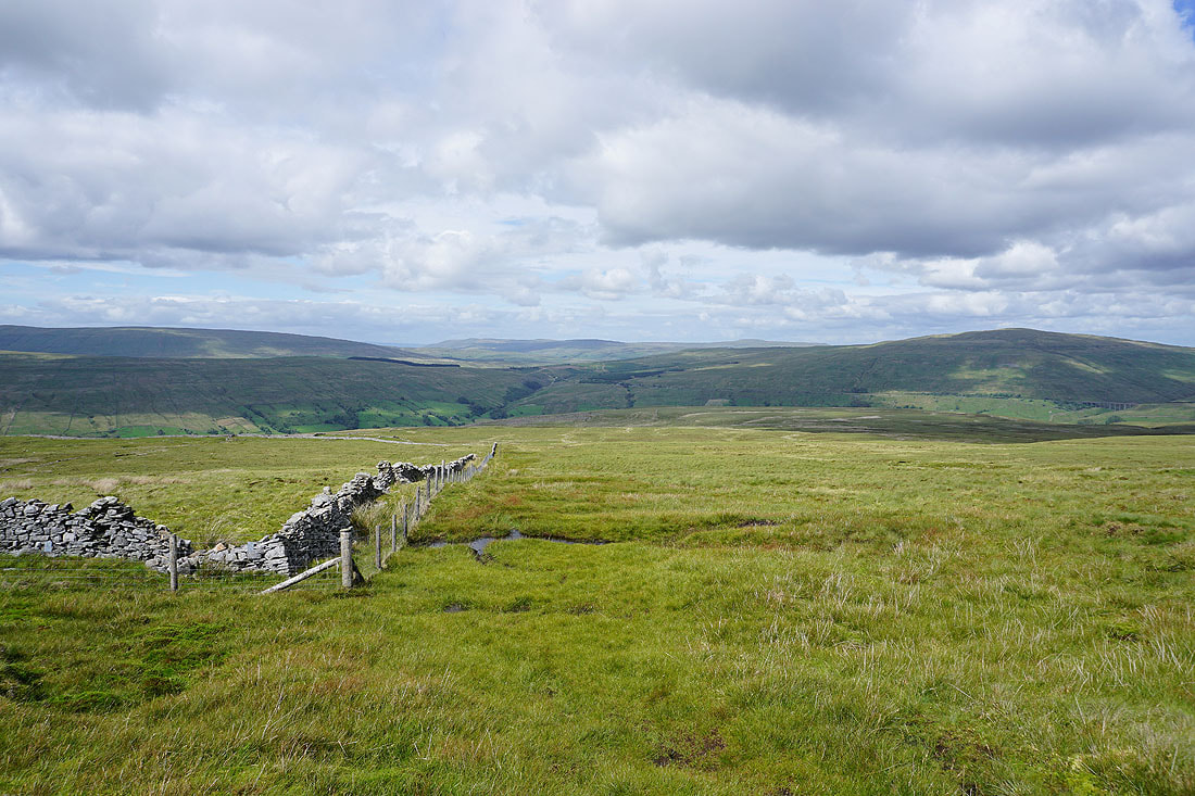
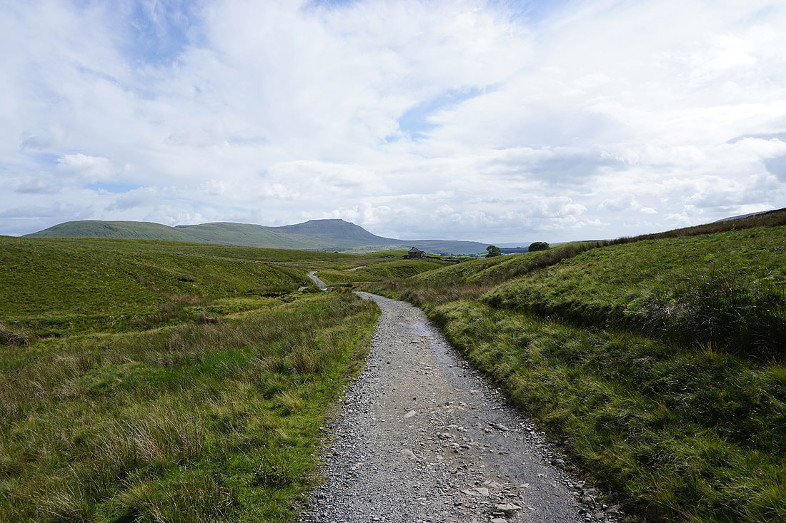
Heading north down to the track of the Craven Way
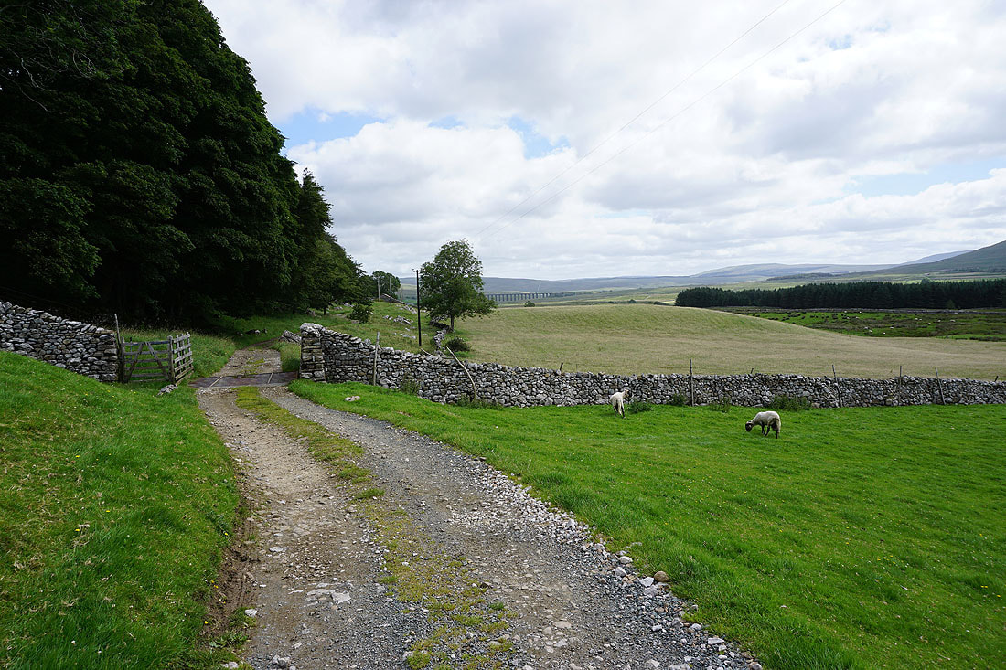
On the track of the Craven Way to Little Dale
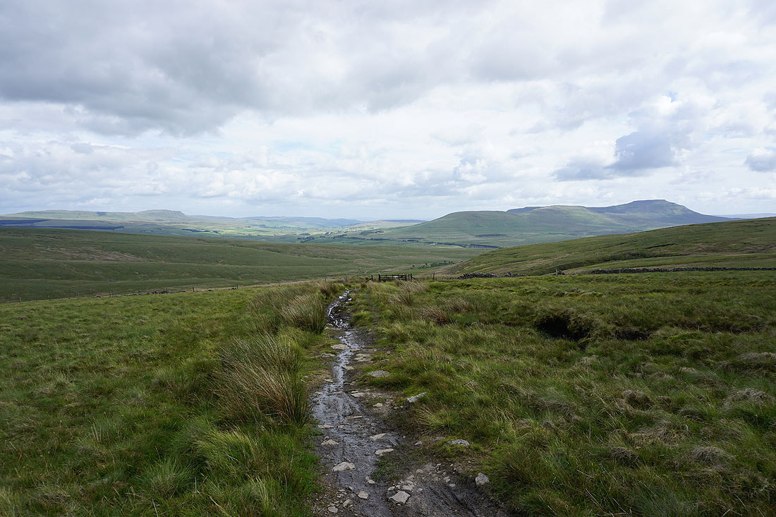
Penyghent, Ribblesdale and Ingleborough come into view
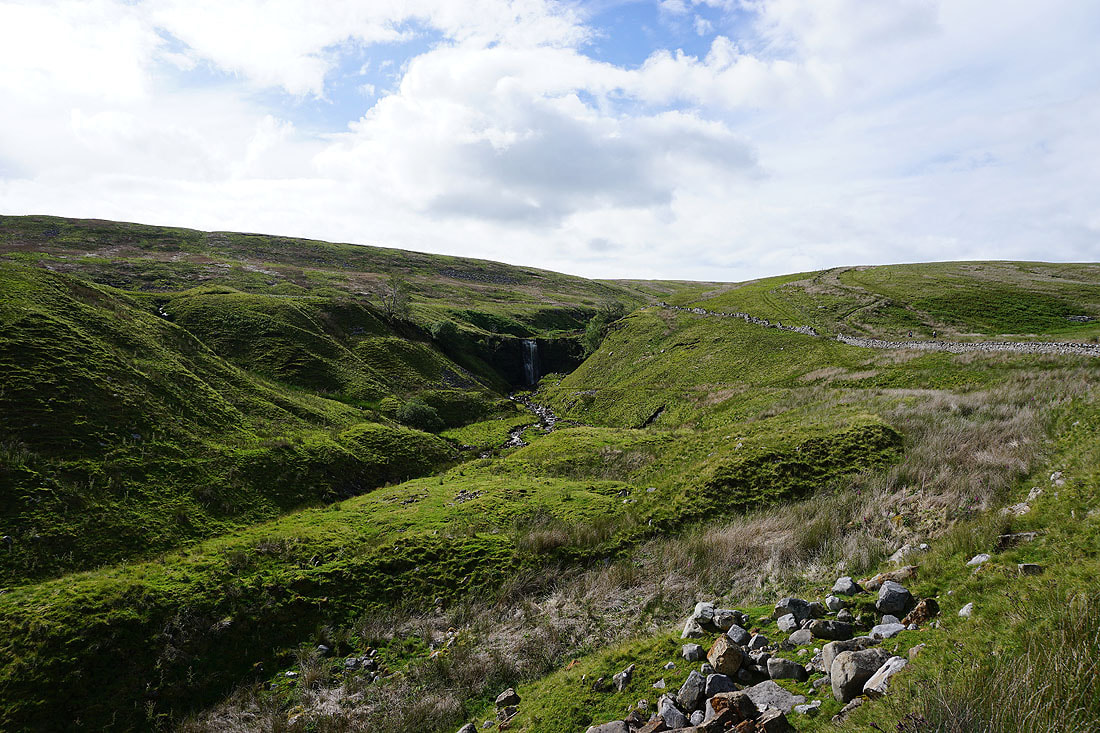
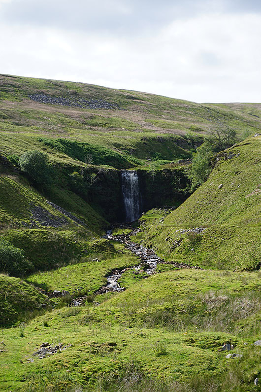
The lower waterfall in Force Gill..
Park Fell, Simon Fell and Ingleborough as I head down Little Dale
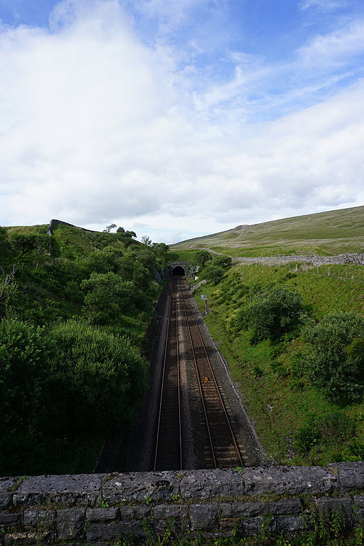
The entrance to the Bleamoor Tunnel as I cross the Settle to Carlisle line
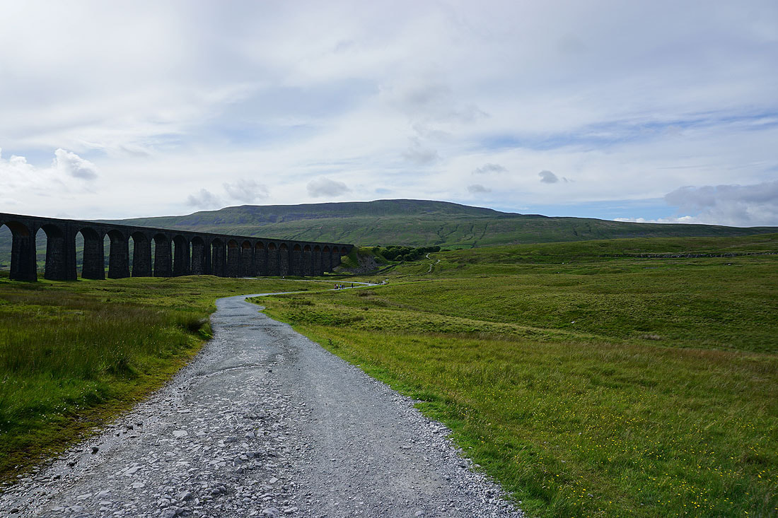
Heading back to Ribblehead..
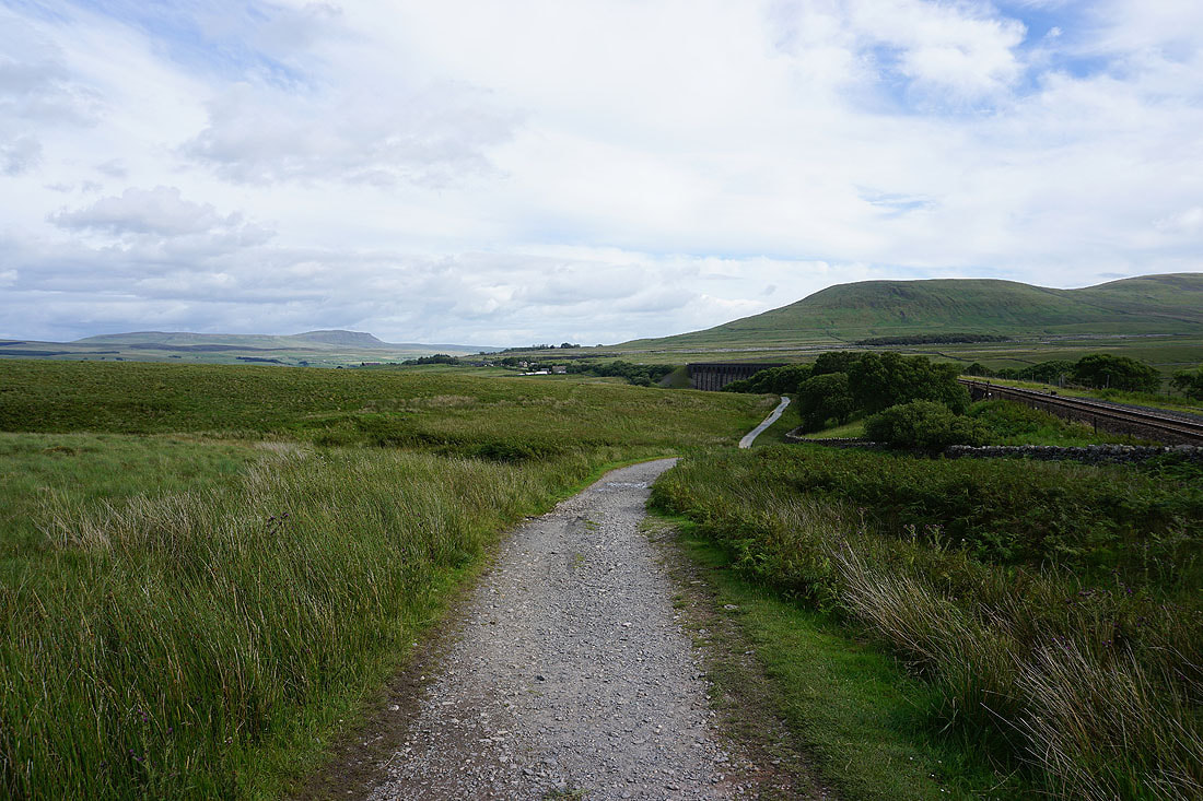
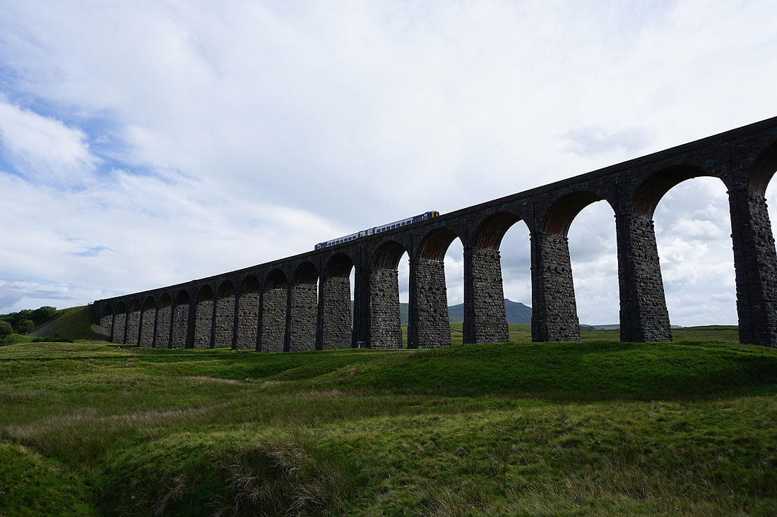
The Ribblehead Viaduct..
The Ribblehead Viaduct and Whernside as I arrive back at Ribblehead