19th July 2021 - Capplestone Gate
Walk Details
Distance walked: 8.1 miles
Total ascent: 1215 ft
OS map used: OL2 - Yorkshire Dales, Southern & Western areas
Time taken: 4 hrs
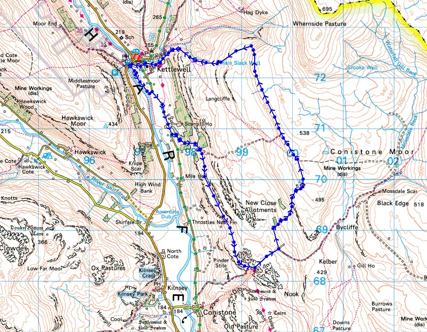
Route description: Kettlewell-Town End Fields-Conistone Lane-Dales Way-Bycliffe Road-Conistone Turf Road-Capplestone Gate-Slatepitt Rigg-Scabbate Gate-Kettlewell
It's the last day of my long weekend and after spending yesterday recovering from Saturday's exertions, I decided to head out for a walk in the afternoon. I picked Kettlewell as my destination and a route that was already familiar with and was long enough to fill the afternoon. There was more warm and sunny summer weather to enjoy the great views across Wharfedale from the moors above Kettlewell, and it was a bit of a bonus to have an ice-cream and can of pop from The Cottage Tea Room before setting off.
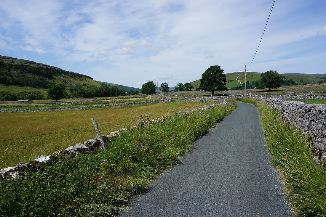
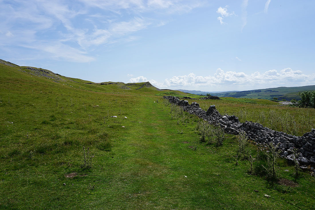
From where I parked in the NP car park in Kettlewell, I crossed the B6160 and took the footpath down to beside the River Wharfe, which I followed south through Town End Fields and then up to Conistone Lane. I then walked south along Conistone Lane until I reached the track of Highgate Leys Lane and the trail of the Dales Way, which took me south above Swineber Scar to the limestone knoll of Conistone Pie, and then on to the track of Bycliffe Road. After a brief walk up Bycliffe Road I took the Conistone Turf Road footpath on the left, which I followed uphill to the trig point at Capplestone Gate. Once I'd taken in the view I went through the nearby gate in the wall, then made my way north on a footpath on the edge of the moor until I reached the bridleway down to Kettlewell. This bridleway took me down to Scabbate Gate, and I then walked through Kettlewell back to the car park.
Total ascent: 1215 ft
OS map used: OL2 - Yorkshire Dales, Southern & Western areas
Time taken: 4 hrs
Route description: Kettlewell-Town End Fields-Conistone Lane-Dales Way-Bycliffe Road-Conistone Turf Road-Capplestone Gate-Slatepitt Rigg-Scabbate Gate-Kettlewell
It's the last day of my long weekend and after spending yesterday recovering from Saturday's exertions, I decided to head out for a walk in the afternoon. I picked Kettlewell as my destination and a route that was already familiar with and was long enough to fill the afternoon. There was more warm and sunny summer weather to enjoy the great views across Wharfedale from the moors above Kettlewell, and it was a bit of a bonus to have an ice-cream and can of pop from The Cottage Tea Room before setting off.
From where I parked in the NP car park in Kettlewell, I crossed the B6160 and took the footpath down to beside the River Wharfe, which I followed south through Town End Fields and then up to Conistone Lane. I then walked south along Conistone Lane until I reached the track of Highgate Leys Lane and the trail of the Dales Way, which took me south above Swineber Scar to the limestone knoll of Conistone Pie, and then on to the track of Bycliffe Road. After a brief walk up Bycliffe Road I took the Conistone Turf Road footpath on the left, which I followed uphill to the trig point at Capplestone Gate. Once I'd taken in the view I went through the nearby gate in the wall, then made my way north on a footpath on the edge of the moor until I reached the bridleway down to Kettlewell. This bridleway took me down to Scabbate Gate, and I then walked through Kettlewell back to the car park.
Route map
© Crown copyright. All rights reserved. License number PU 100034184.
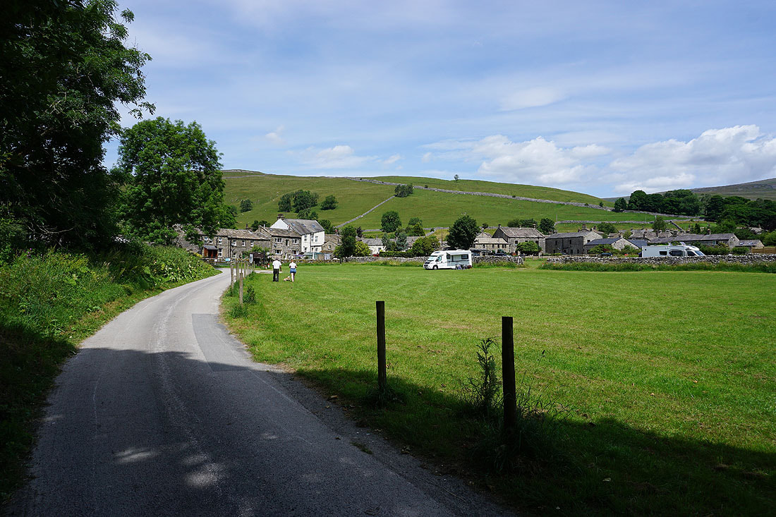
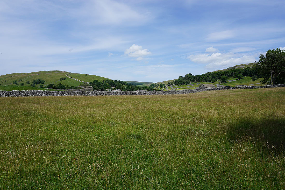
Kettlewell beneath summer skies as I leave it behind on the path by the River Wharfe
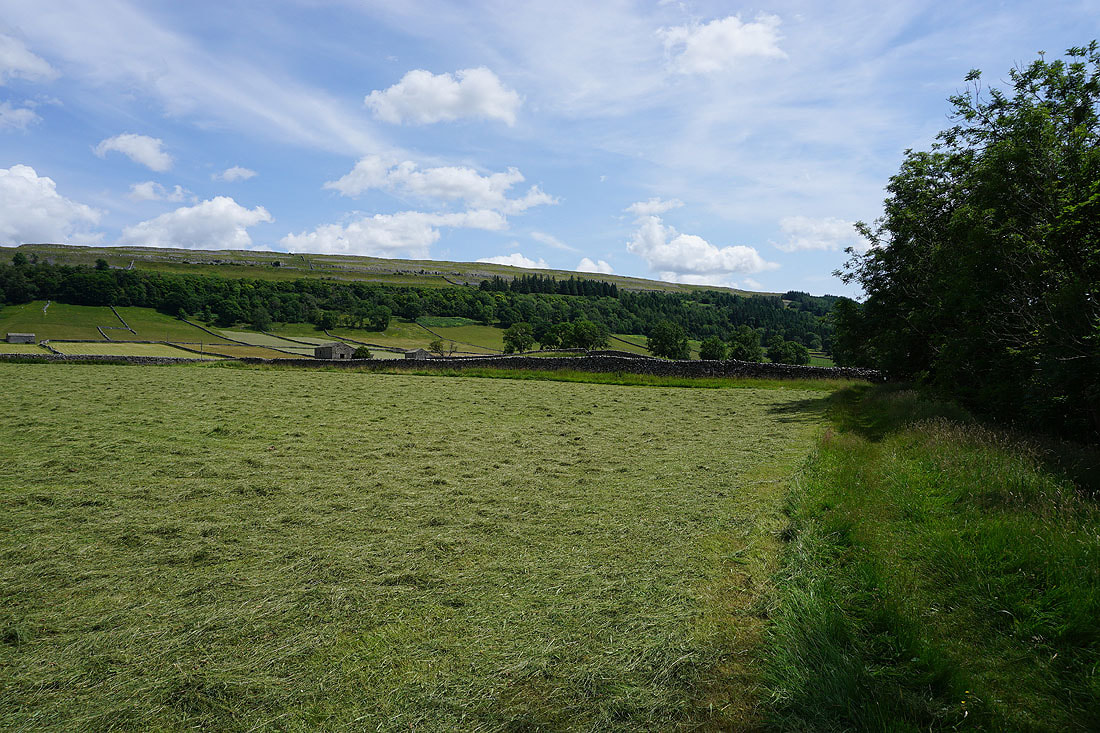
Crookacre Wood on the side of the dale
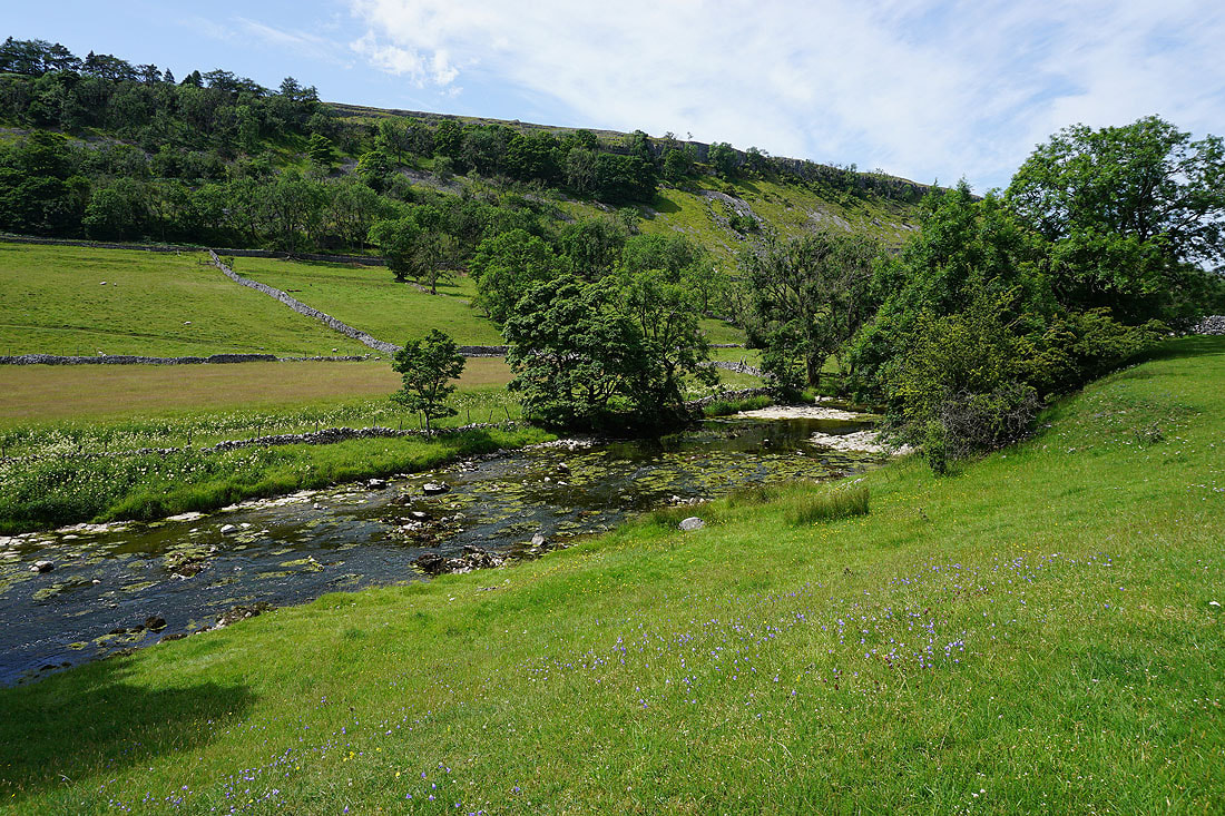
A placid River Wharfe below
A fine summer's day in Wharfedale...
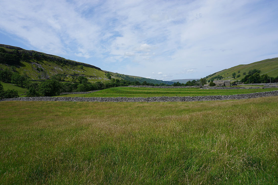
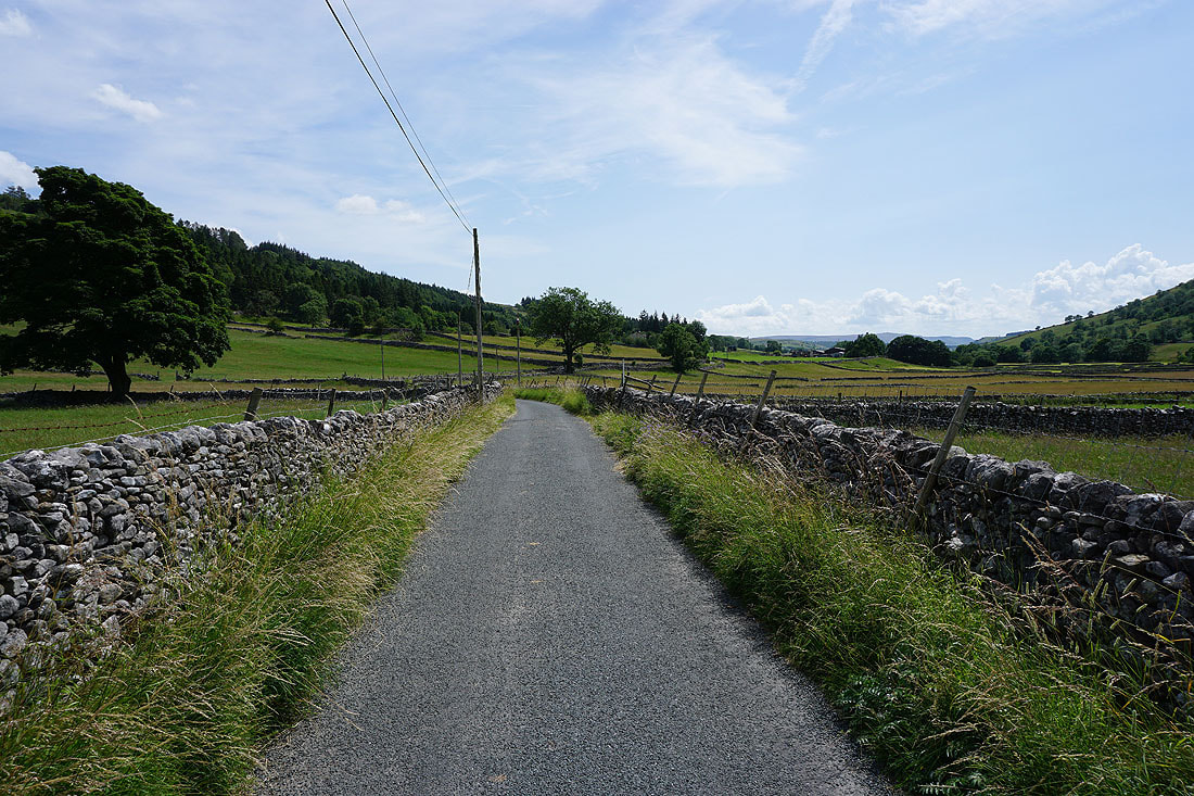
I join the Kettlewell to Conistone road and the trail of the Dales Way
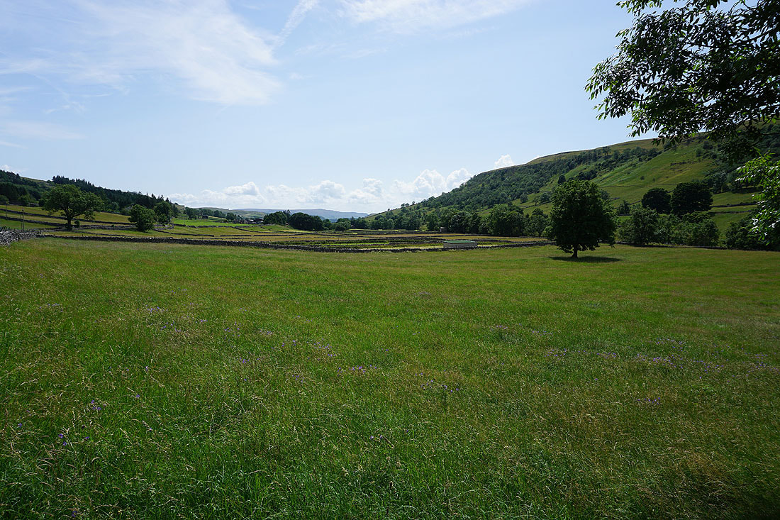
Looking back towards Kettlewell
Following the Dales Way up onto Swineber Scar
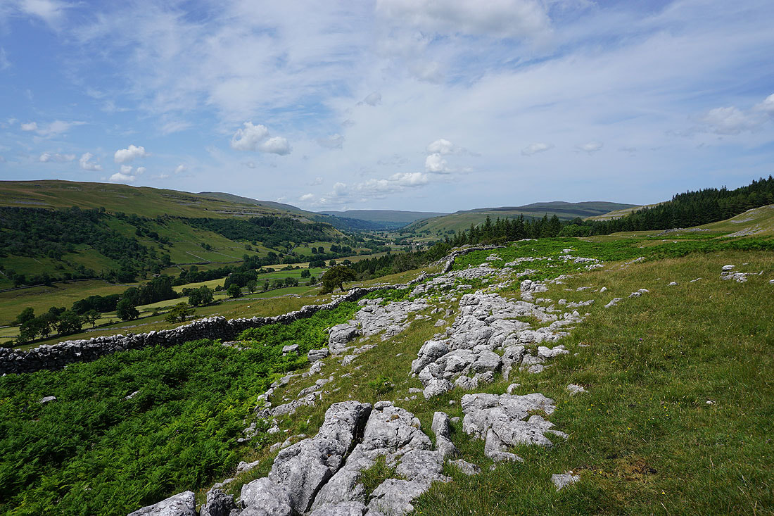
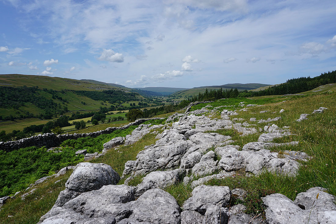
I get a great view up Wharfedale with limestone pavement as the foreground..
Heading south on the Dales Way to Conistone Pie
Looking back up Wharfedale
and across to where Littondale and Wharfedale meet. The yellow flowers are Lady's Bedstraw.
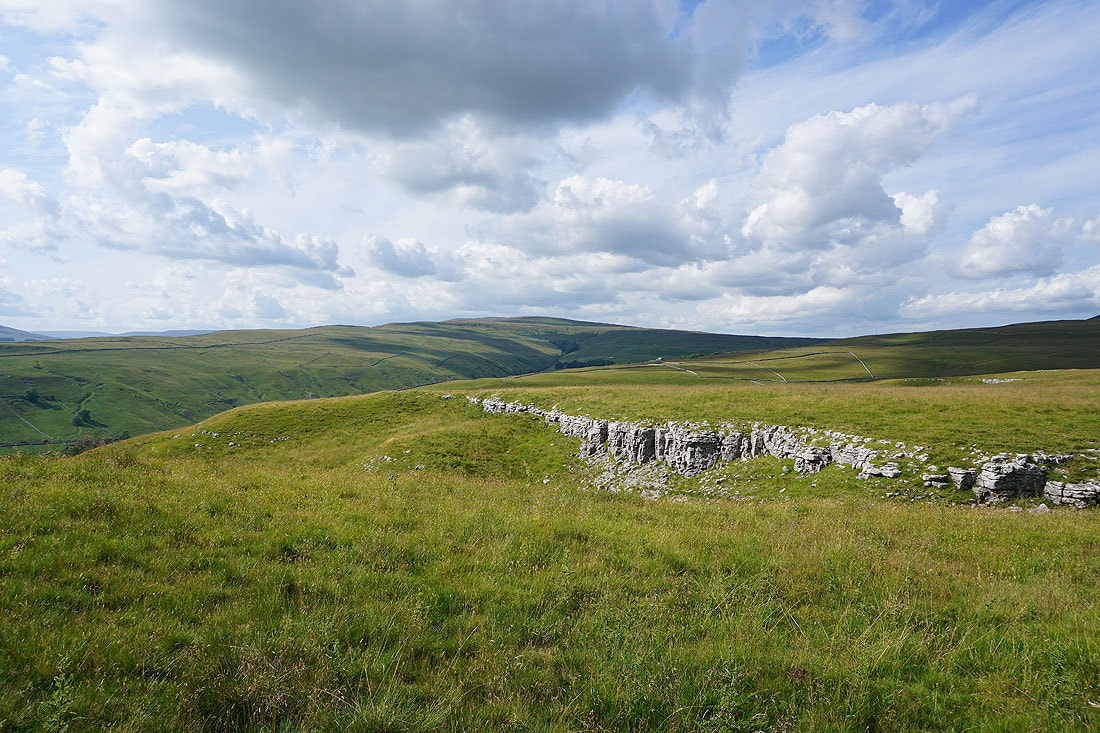
Views of the countryside where Littondale and Wharfedale meet from the top of Swineber Scar..
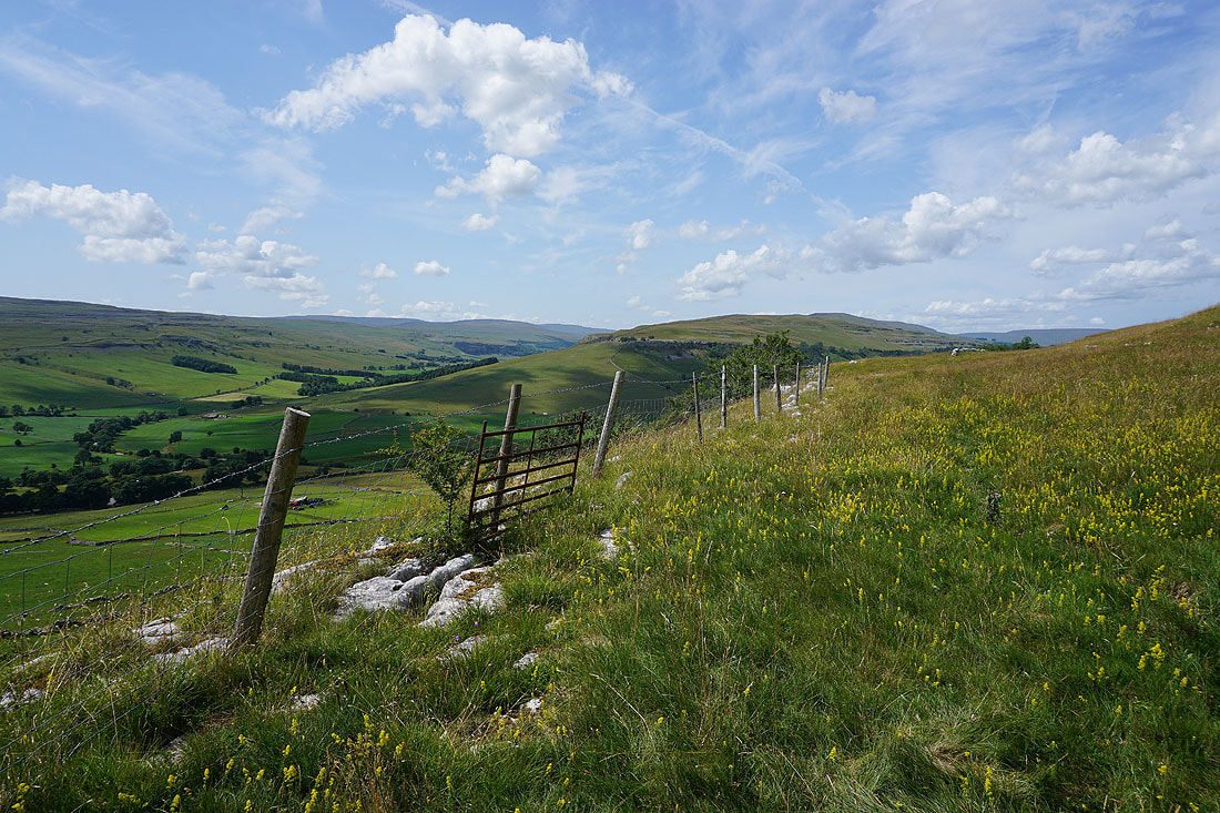
Looking across Wharfedale to Kilnsey Crag
High Kilnsey Moor, Littondale and Middlesmoor Pasture
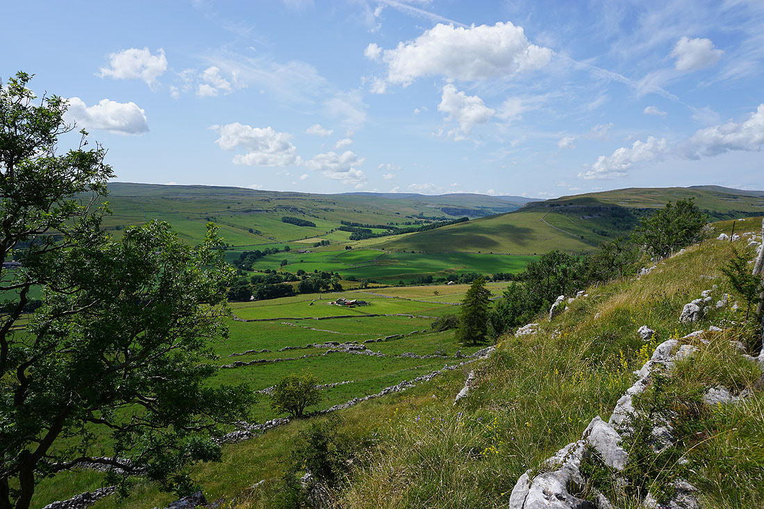
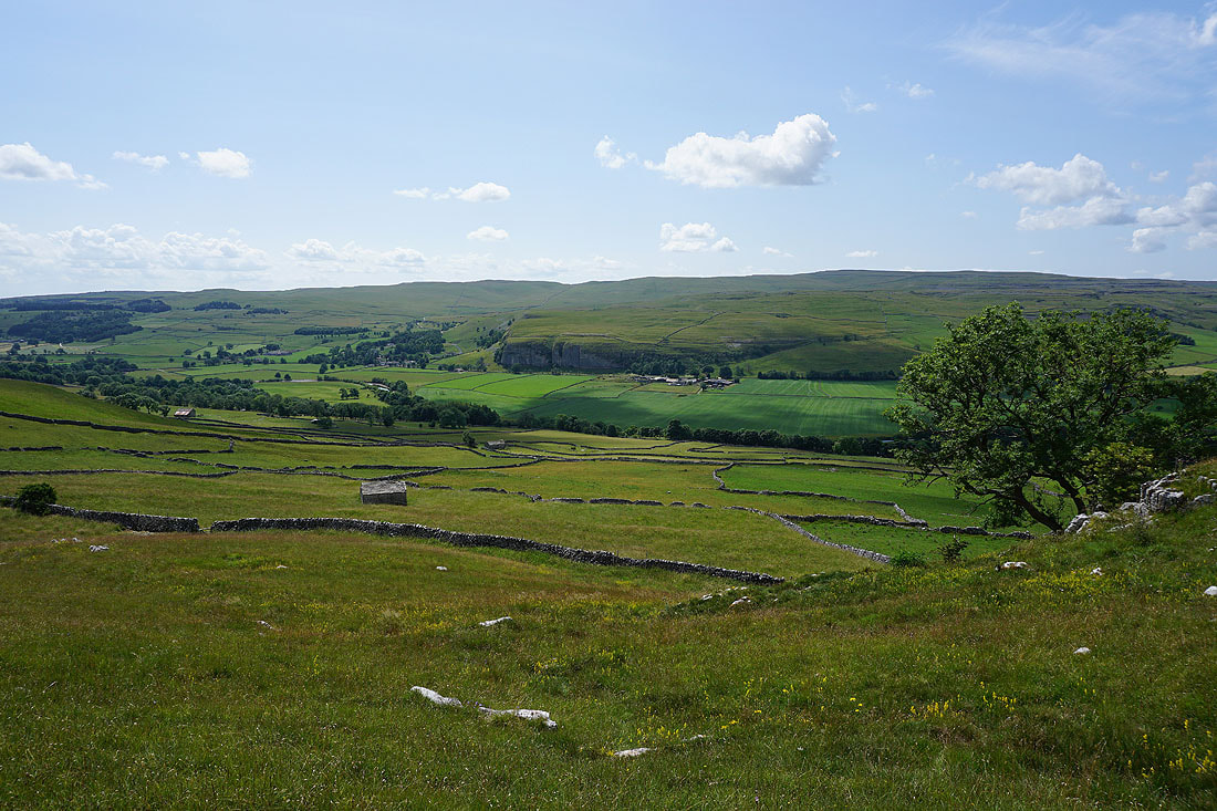
Littondale, Old Cote Moor Top and Wharfedale from the limestone knoll of Conistone Pie
Leaving Conistone Pie behind
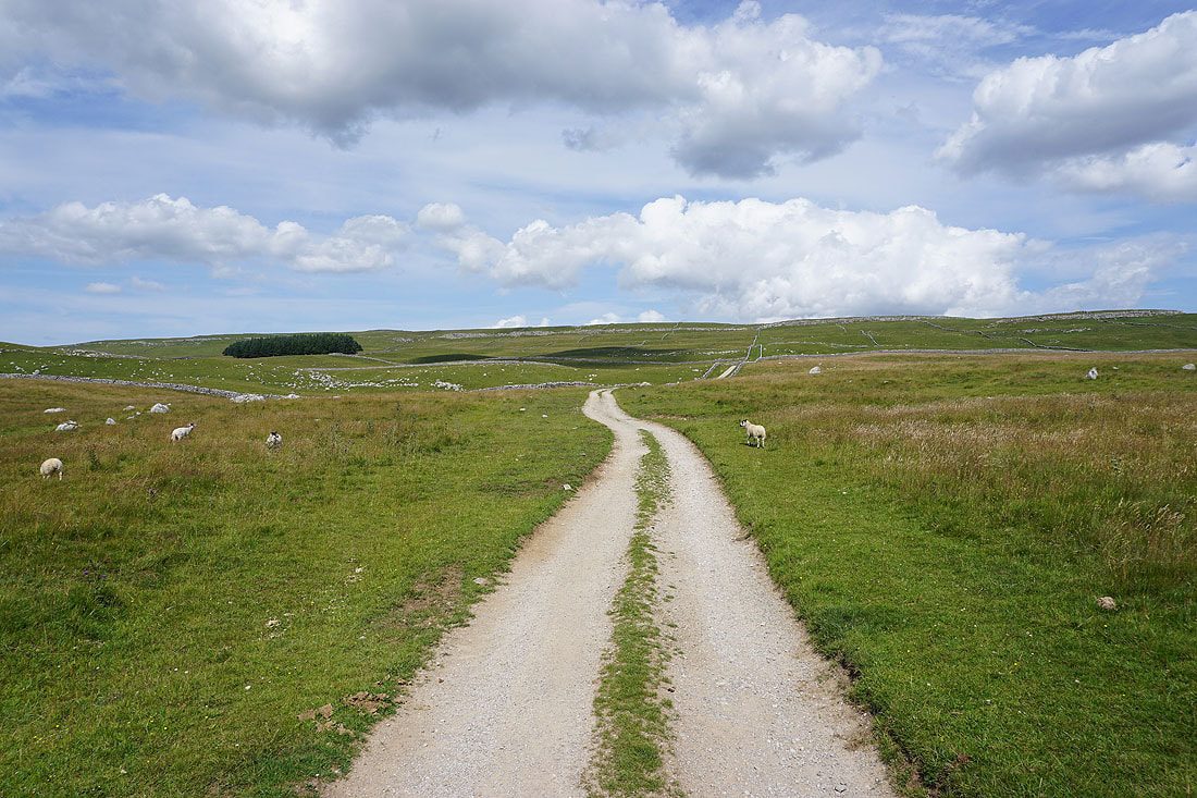
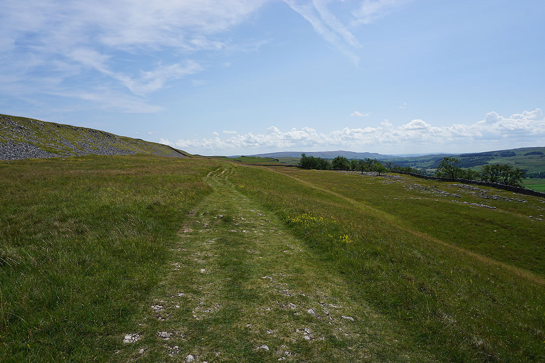
Heading east up the track of Bycliffe Road
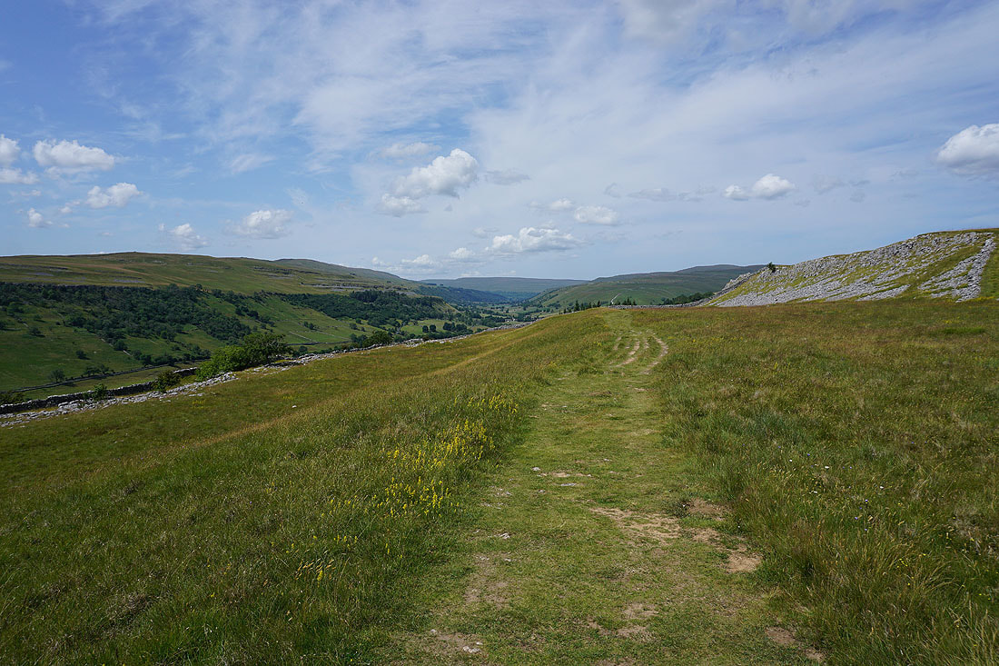
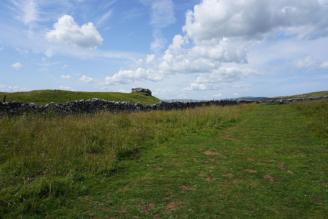
and north up the path of Conistone Turf Road to Capplestone Gate
Looking northwest across New Close Allotments to Fountains Fell and Old Cote Moor Top in the distance

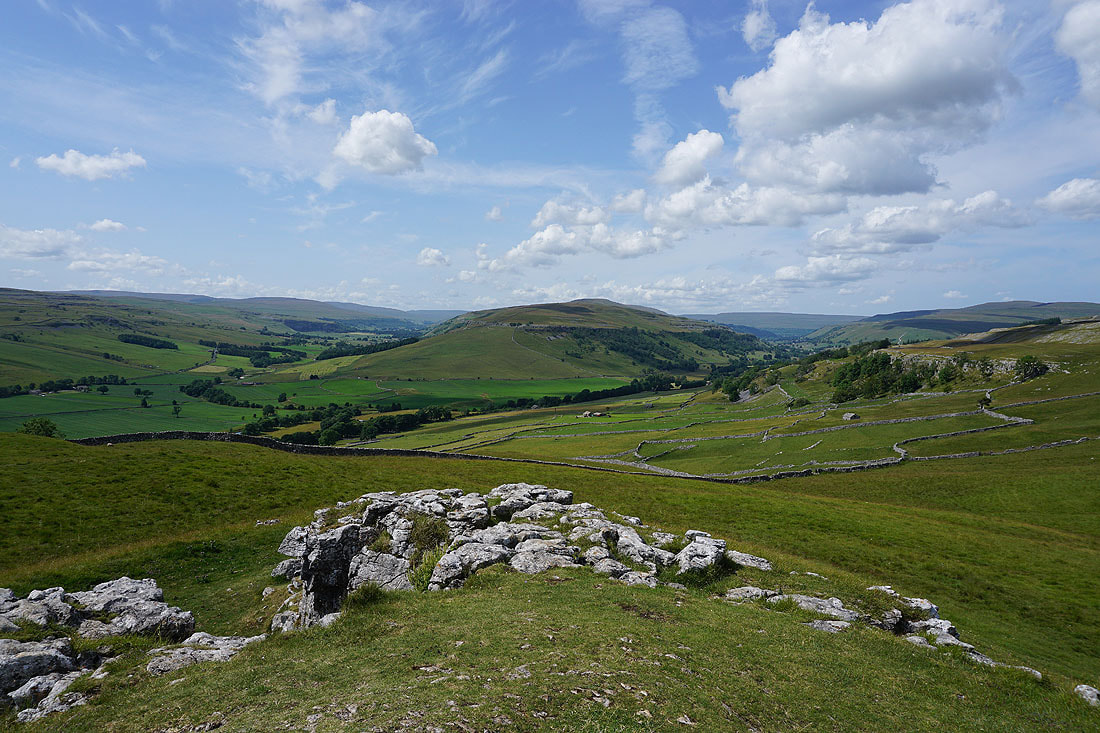
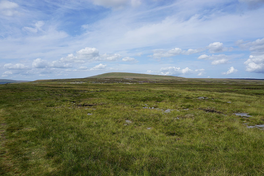
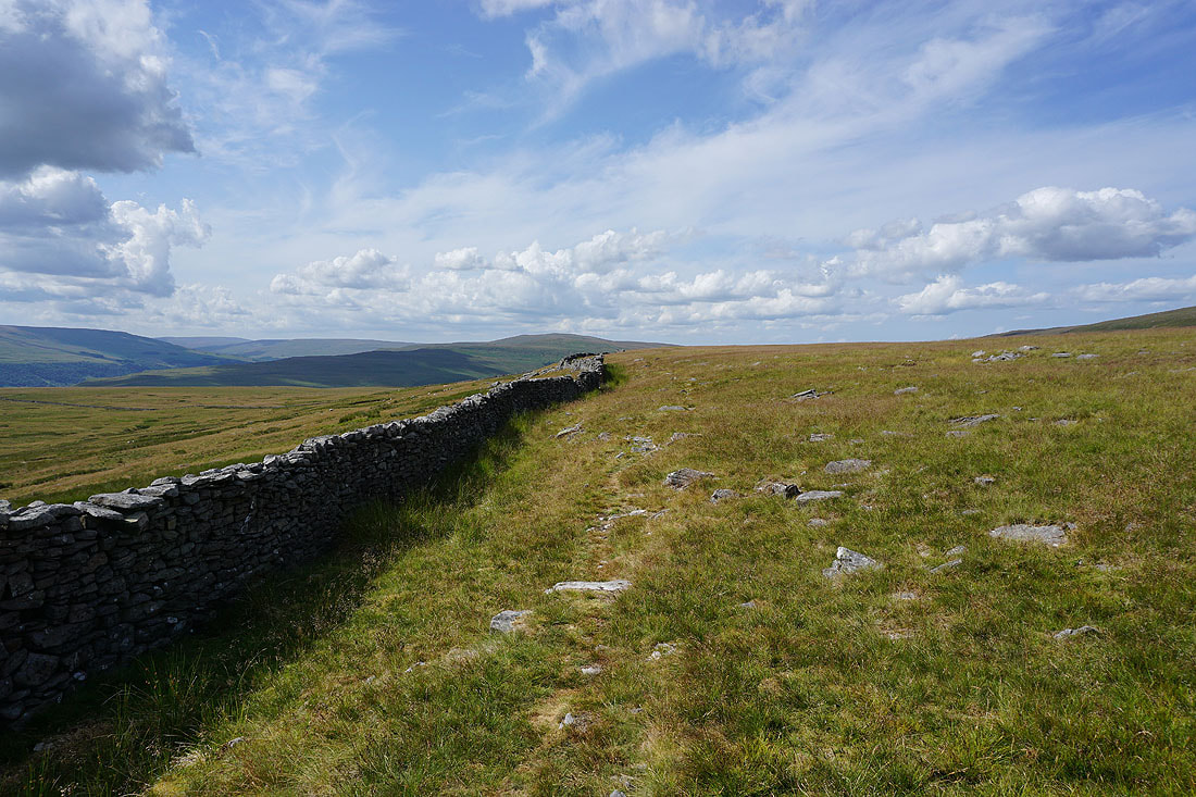
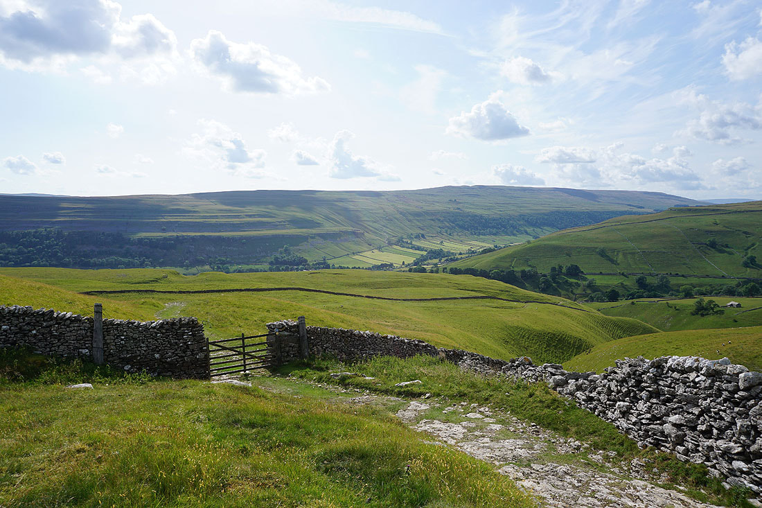
The trig point at Capplestone Gate appears above, and the underlying rock changes from limestone to gritstone
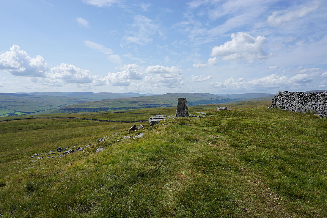
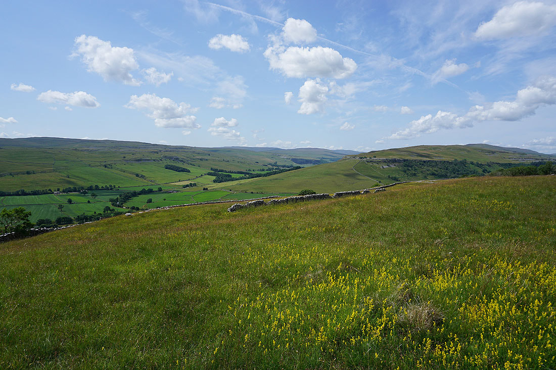
At the trig point at Capplestone Gate and there's a great view across Wharfedale from up here
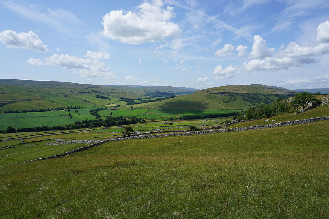
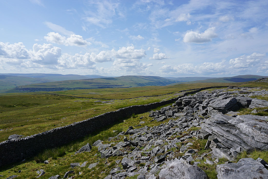
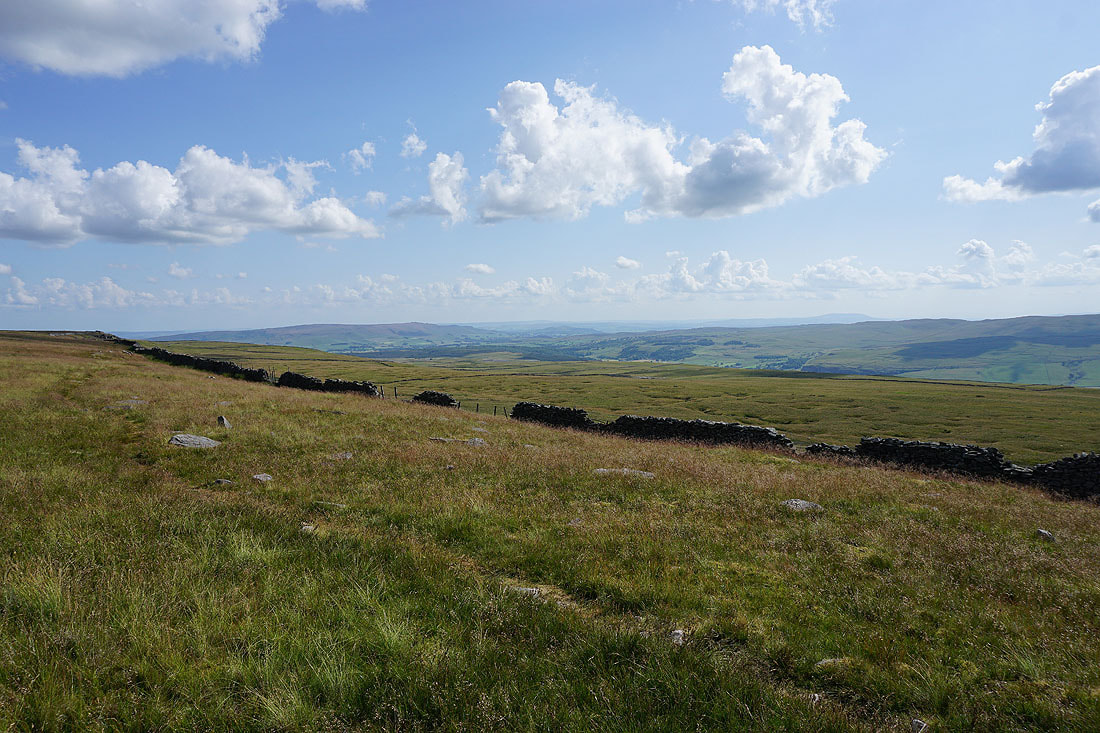
Looking down Wharfedale to Barden Fell and Barden Moor

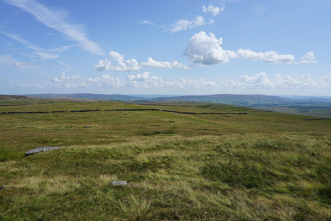
Barden Moor, a distant Pendle Hill, Threshfield Moor and Kilnsey Moor
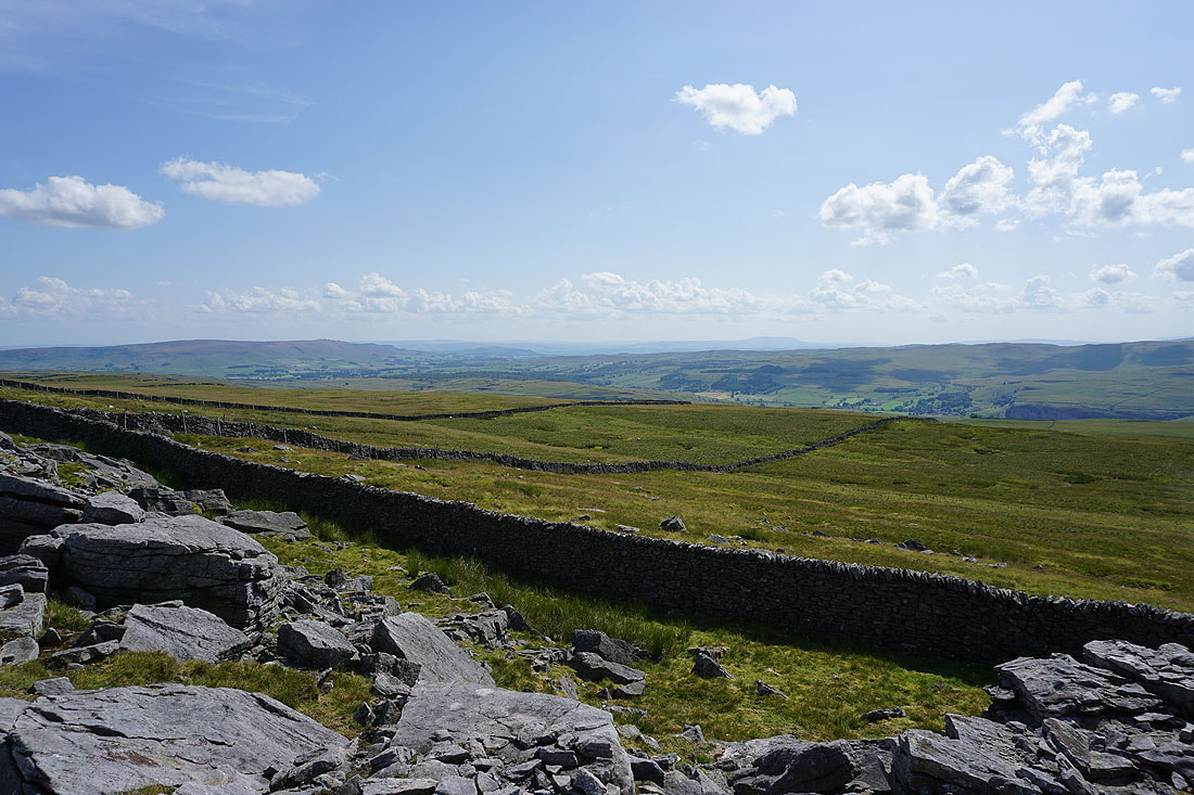
Looking northwest to Fountains Fell, Plover Hill and Old Cote Moor Top
Grassington Moor
The southern end of Great Whernside
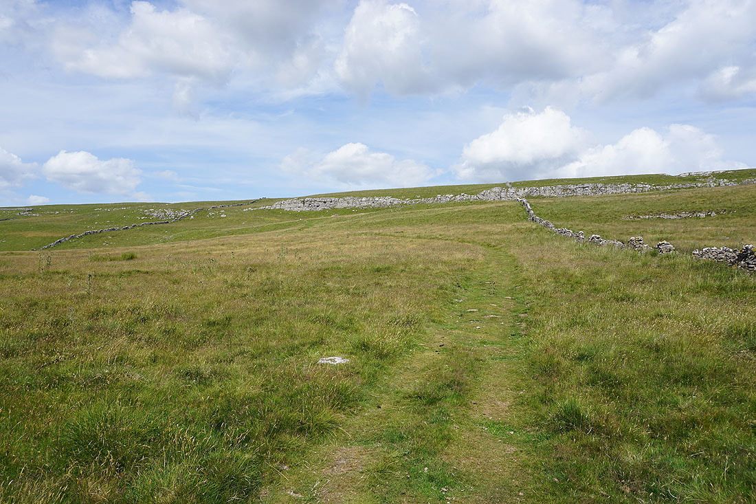
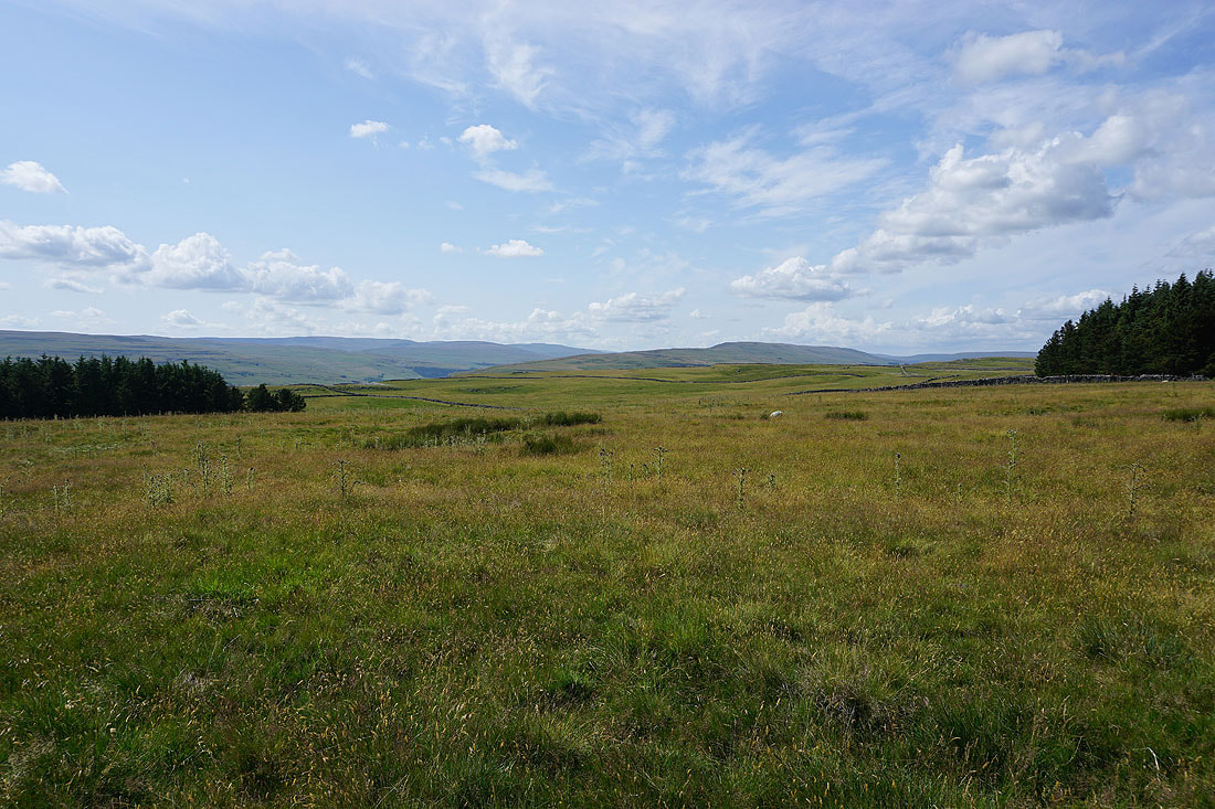
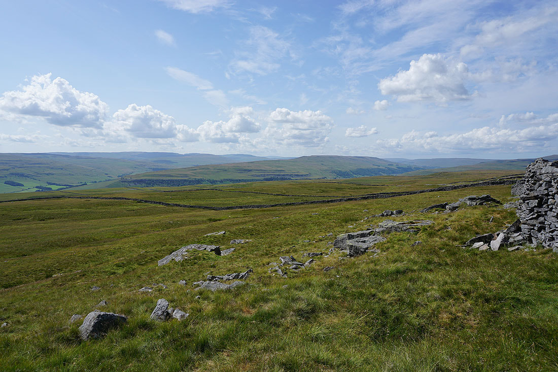
Views across the moorland around Wharfedale as I head north along the edge of the moor.....
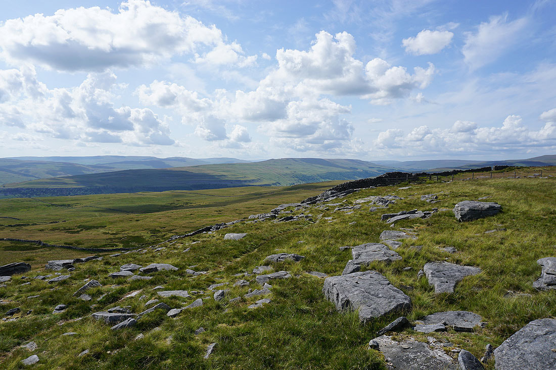
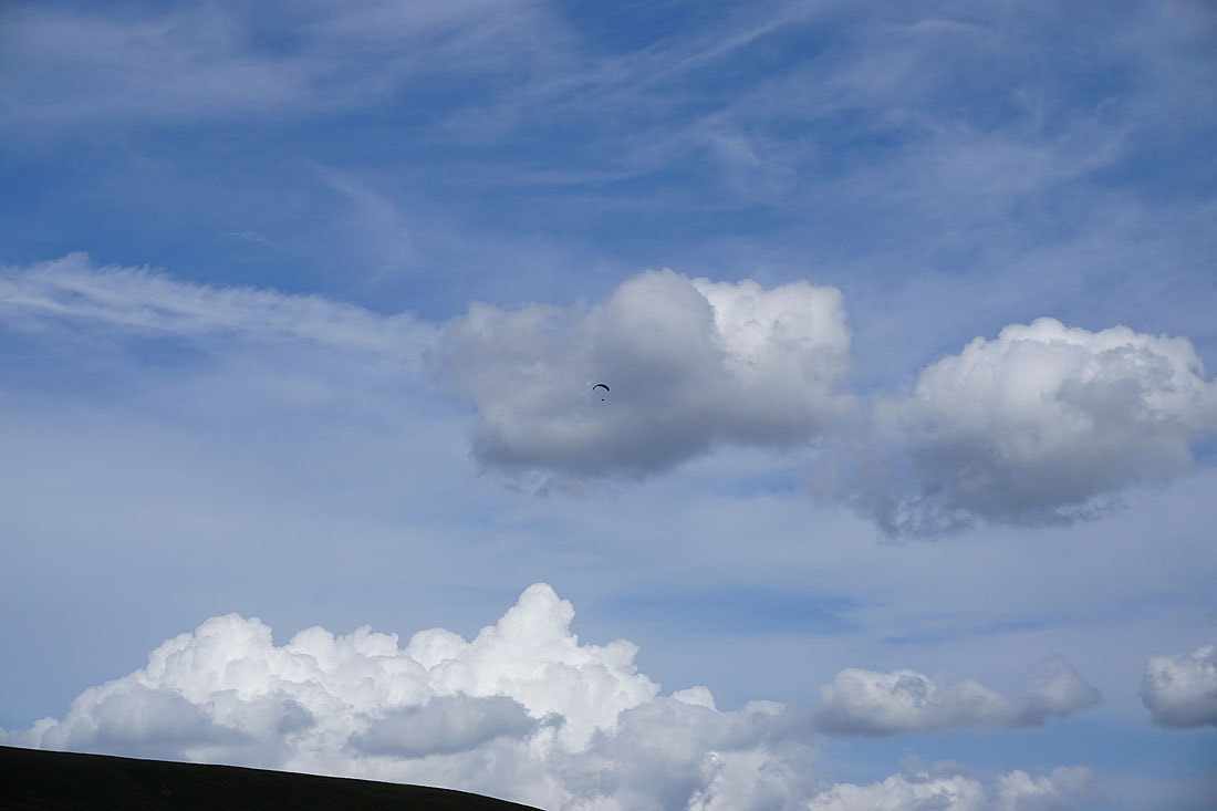
Someone's getting a better view than me
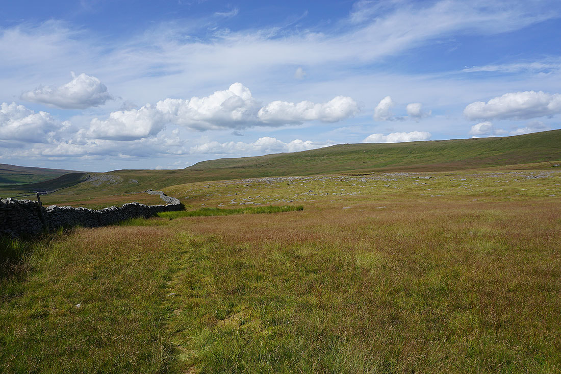
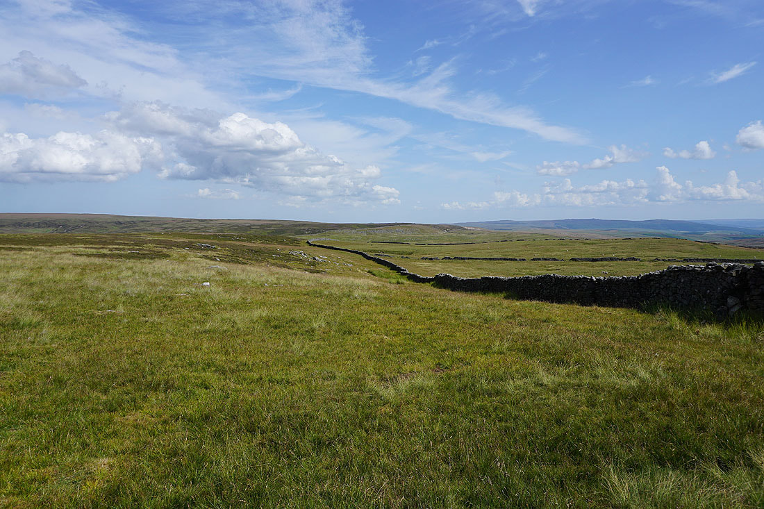
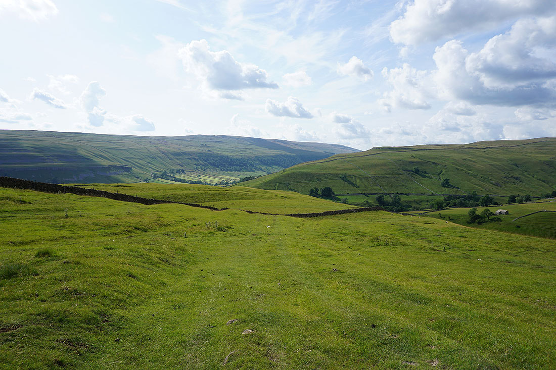
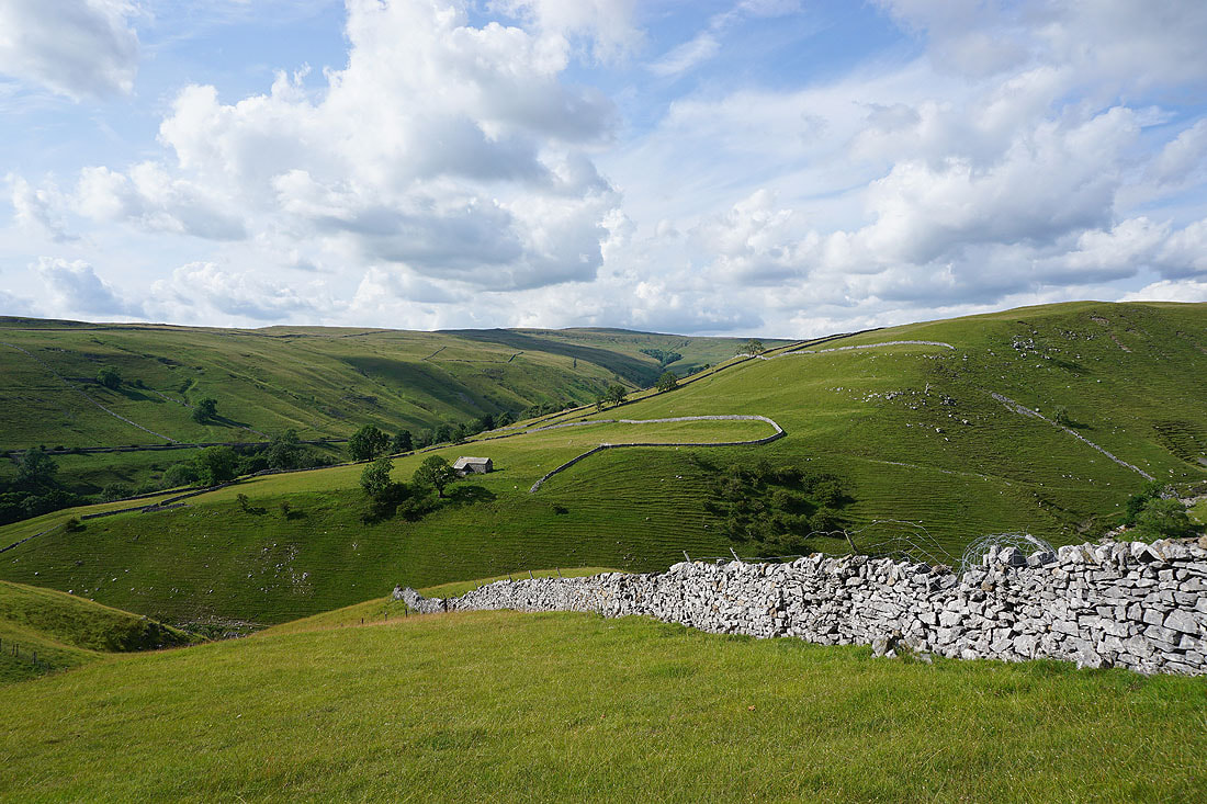
Great Whernside ahead as I reach Slatepit Rigg..
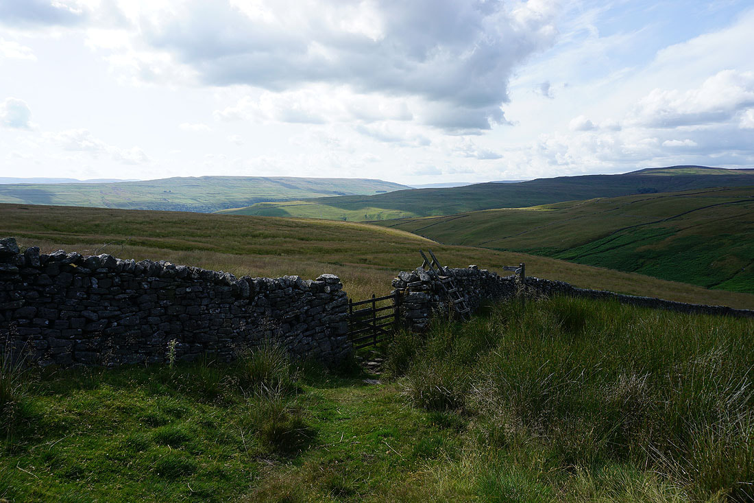
..and the bridleway down to Kettlewell
Buckden Pike to the north
On the bridleway down to Kettlewell..
Looking north across Dowber Gill and Park Gill to the southern end of Buckden Pike
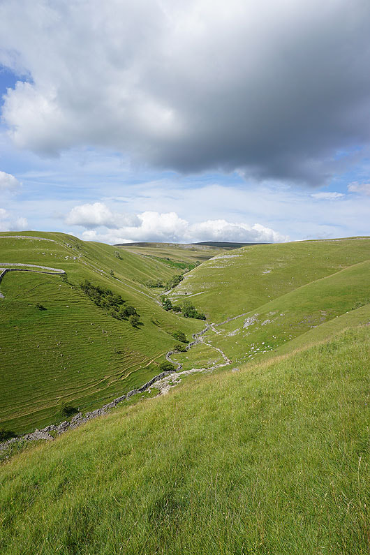
The summit of Great Whernside in shadow at the top of Dowber Gill
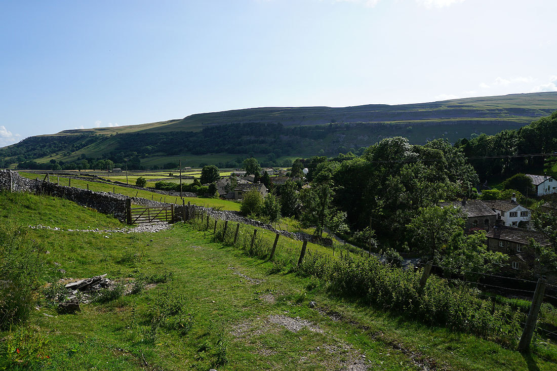
The final descent back into Kettlewell