19th June 2021 - Thieveley Pike and Bride Stones Moor
Walk Details
Distance walked: 13.3 miles
Total ascent: 2734 ft
OS map used: OL21 - South Pennines
Time taken: 8 hrs
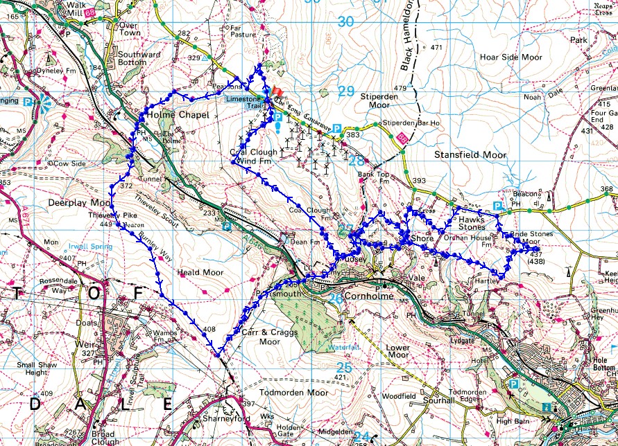
Route description: Maidens Cross car park, The Long Causeway-Burnley Way-Pennine Bridleway-Holme Chapel-Pennine Bridleway-Burnley Way-Thieveley Pike-Burnley Way-Heald Top Farm-Green's Clough-Beater Clough-Portsmouth-Burnley Way-Pudsey Clough-Shaw Lane-Pudding Lane-Bluebell Lane-Calderdale Way-Bride Stones Moor-Kebs Road-Sagar Lane-Delf Lane-Gall Lane-Pudding Lane-Calderdale Way-Pudsey Clough-Black Scout-Maidens Cross car park, The Long Causeway
I picked the South Pennines for my walk this weekend and a route that I worked out that took in two familiar locations, though never together on the same day, Thieveley Pike and Bride Stones Moor. I've been on Thieveley Pike a couple of times in the past few years but it's been more than five years since I was last on Bride Stones Moor. It took a bit of thought to come up with the best way of getting from Thieveley Pike to Bride Stones Moor. There are plenty of footpaths and bridleways to choose from that would get me from one to the other, but the last thing that I wanted was to give myself any unnecessary ups and downs. To get down into Calderdale from Thieveley Pike I used the same route as I did last December, then a lot of it was on paths and bridleways that were new to me to reach Bride Stones Moor. A couple of times during the day I changed the route that I'd originally planned as it just wasn't clear or I wasn't happy with where it was taking me. It probably added a couple of miles to the length of the route that I've plotted. Anyway, I had a fine summer's day for this walk, with warm spells of sunshine in the afternoon, after a rather cloudy start in the morning when I set off.
From the Maidens Cross car park on The Long Causeway I set off by taking the Burnley Way from the back of the car park towards Shedden Clough until I picked up the Pennine Bridleway, which I followed south across The Long Causeway and down to Holme Chapel. After crossing the A646 I was on the Pennine Bridleway a bit longer until I reached the Burnley to Todmorden railway line, where I left it for the Burnley Way up through Buckley Wood to reach the trig point on Thieveley Pike. From Thieveley Pike I followed the Burnley Way towards Heald Moor but left it for the bridleway along the southern slopes of Heald Moor to Heald Top Farm, where I left the bridleway for a footpath north down Green's Clough and Beater Clough to the A646 at Portsmouth. After crossing the road, I took the Burnley Way along Station Parade, across the railway line, then to the end of the road and up the hillside onto Whitaker Naze and up to Brown Birks. To avoid going through Brown Birks I took a footpath along the top of Dawk Hole Wood to reach a track and the Burnley Way again down through the wood into Pudsey Clough. After the track crossed the beck at the bottom of Pudsey Clough I soon reached a large house with an outbuilding. I took the footpath between them up the hillside to the track of Shaw Lane, which I followed east across the hillside to Pudding Lane, and after a brief walk east along this, I took the track of Bluebell Lane east across the hillside to Hudson Moor. The Calderdale Way took me east across Hudson Moor and then along a track until I reached a footpath on the left, which I took and followed up onto Bride Stones Moor. After taking in the view I followed a footpath out to Kebs Road, walked west along Kebs Road, and took the first track on the left, a bridleway down Sagar Lane past a house and to the bridleway of Delf Lane, which I followed west to Gall Lane. I then walked down Gall Lane and Pudding Lane until I reached a bridleway on the right, I took this, keeping right and heading downhill to the end of Pudsey Road, where I took a track up into Pudsey Clough to where I was earlier in the day at the large house, and the track up through Dawk Hole Wood. I then followed a footpath up the hillside, around Brown Birks, and then a bridleway up onto the moorland of Black Scout. This bridleway took me northwest across Black Scout and Cartridge Pasture until I reached a bridleway north beneath the wind turbines of Coal Clough Wind Farm to The Long Causeway and the Maidens Cross car park.
Total ascent: 2734 ft
OS map used: OL21 - South Pennines
Time taken: 8 hrs
Route description: Maidens Cross car park, The Long Causeway-Burnley Way-Pennine Bridleway-Holme Chapel-Pennine Bridleway-Burnley Way-Thieveley Pike-Burnley Way-Heald Top Farm-Green's Clough-Beater Clough-Portsmouth-Burnley Way-Pudsey Clough-Shaw Lane-Pudding Lane-Bluebell Lane-Calderdale Way-Bride Stones Moor-Kebs Road-Sagar Lane-Delf Lane-Gall Lane-Pudding Lane-Calderdale Way-Pudsey Clough-Black Scout-Maidens Cross car park, The Long Causeway
I picked the South Pennines for my walk this weekend and a route that I worked out that took in two familiar locations, though never together on the same day, Thieveley Pike and Bride Stones Moor. I've been on Thieveley Pike a couple of times in the past few years but it's been more than five years since I was last on Bride Stones Moor. It took a bit of thought to come up with the best way of getting from Thieveley Pike to Bride Stones Moor. There are plenty of footpaths and bridleways to choose from that would get me from one to the other, but the last thing that I wanted was to give myself any unnecessary ups and downs. To get down into Calderdale from Thieveley Pike I used the same route as I did last December, then a lot of it was on paths and bridleways that were new to me to reach Bride Stones Moor. A couple of times during the day I changed the route that I'd originally planned as it just wasn't clear or I wasn't happy with where it was taking me. It probably added a couple of miles to the length of the route that I've plotted. Anyway, I had a fine summer's day for this walk, with warm spells of sunshine in the afternoon, after a rather cloudy start in the morning when I set off.
From the Maidens Cross car park on The Long Causeway I set off by taking the Burnley Way from the back of the car park towards Shedden Clough until I picked up the Pennine Bridleway, which I followed south across The Long Causeway and down to Holme Chapel. After crossing the A646 I was on the Pennine Bridleway a bit longer until I reached the Burnley to Todmorden railway line, where I left it for the Burnley Way up through Buckley Wood to reach the trig point on Thieveley Pike. From Thieveley Pike I followed the Burnley Way towards Heald Moor but left it for the bridleway along the southern slopes of Heald Moor to Heald Top Farm, where I left the bridleway for a footpath north down Green's Clough and Beater Clough to the A646 at Portsmouth. After crossing the road, I took the Burnley Way along Station Parade, across the railway line, then to the end of the road and up the hillside onto Whitaker Naze and up to Brown Birks. To avoid going through Brown Birks I took a footpath along the top of Dawk Hole Wood to reach a track and the Burnley Way again down through the wood into Pudsey Clough. After the track crossed the beck at the bottom of Pudsey Clough I soon reached a large house with an outbuilding. I took the footpath between them up the hillside to the track of Shaw Lane, which I followed east across the hillside to Pudding Lane, and after a brief walk east along this, I took the track of Bluebell Lane east across the hillside to Hudson Moor. The Calderdale Way took me east across Hudson Moor and then along a track until I reached a footpath on the left, which I took and followed up onto Bride Stones Moor. After taking in the view I followed a footpath out to Kebs Road, walked west along Kebs Road, and took the first track on the left, a bridleway down Sagar Lane past a house and to the bridleway of Delf Lane, which I followed west to Gall Lane. I then walked down Gall Lane and Pudding Lane until I reached a bridleway on the right, I took this, keeping right and heading downhill to the end of Pudsey Road, where I took a track up into Pudsey Clough to where I was earlier in the day at the large house, and the track up through Dawk Hole Wood. I then followed a footpath up the hillside, around Brown Birks, and then a bridleway up onto the moorland of Black Scout. This bridleway took me northwest across Black Scout and Cartridge Pasture until I reached a bridleway north beneath the wind turbines of Coal Clough Wind Farm to The Long Causeway and the Maidens Cross car park.
Route map
© Crown copyright. All rights reserved. License number PU 100034184.
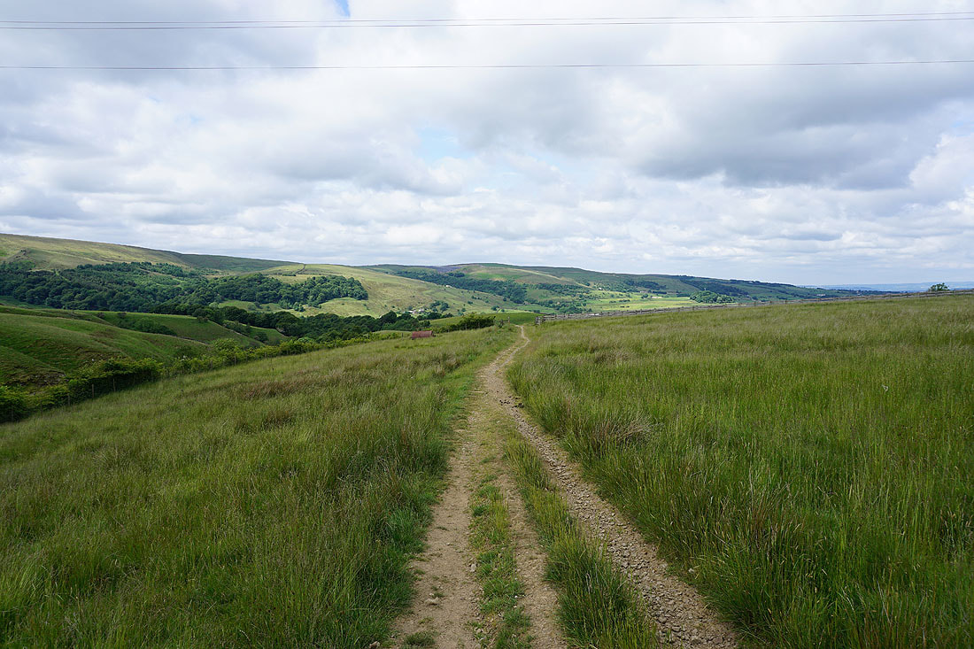
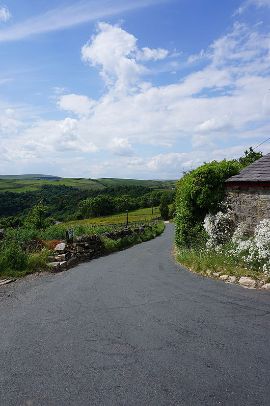
Pendle Hill in the distance as I take the Pennine Bridleway from the Maidens Cross car park on The Long Causeway
I follow the Pennine Bridleway across the Long Causeway and down to Holme Chapel with views of Thieveley Scout ahead of me...
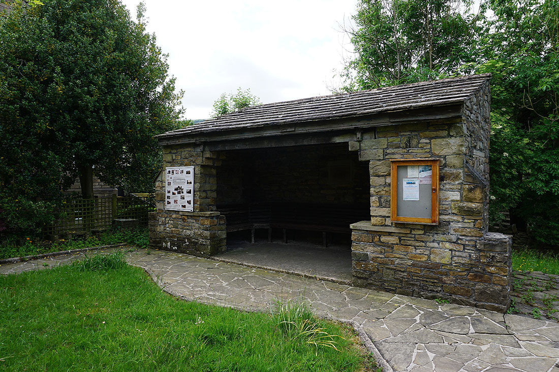
A shelter in Holme Chapel with an information board about the village
A glimpse of Pendle Hill in the distance
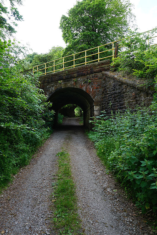
Following the Burnley Way under the Burnley to Todmorden railway line
Heading up Dean Scout
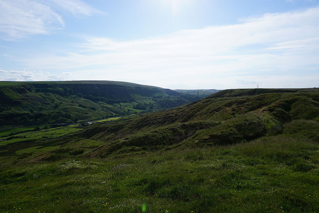
A view of Thieveley Scout and down Calderdale from Dean Scout
Looking across Buckley Wood to Pendle Hill and Burnley, with Holme Chapel down on the right
and across Cliviger to Boulsworth Hill and Hoof Stones Height
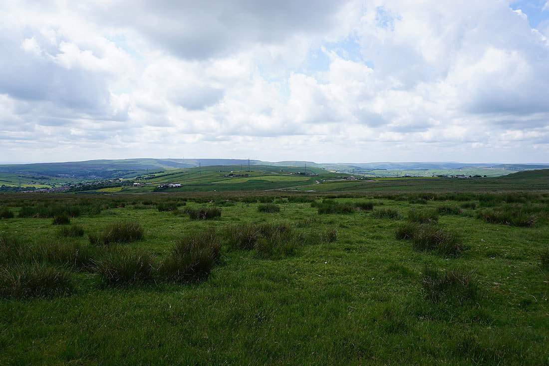
At the trig point on Thieveley Pike with Great Hameldon in the distance
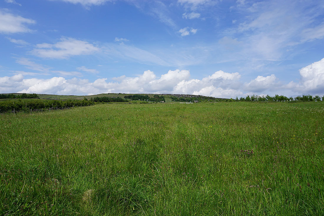
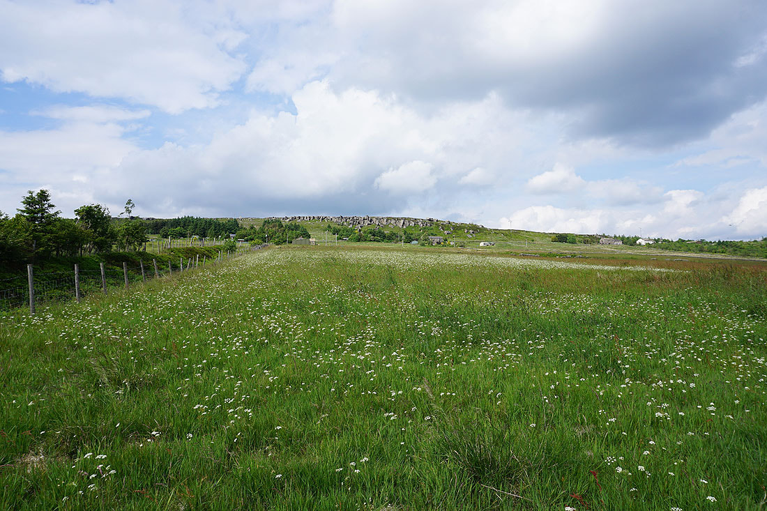
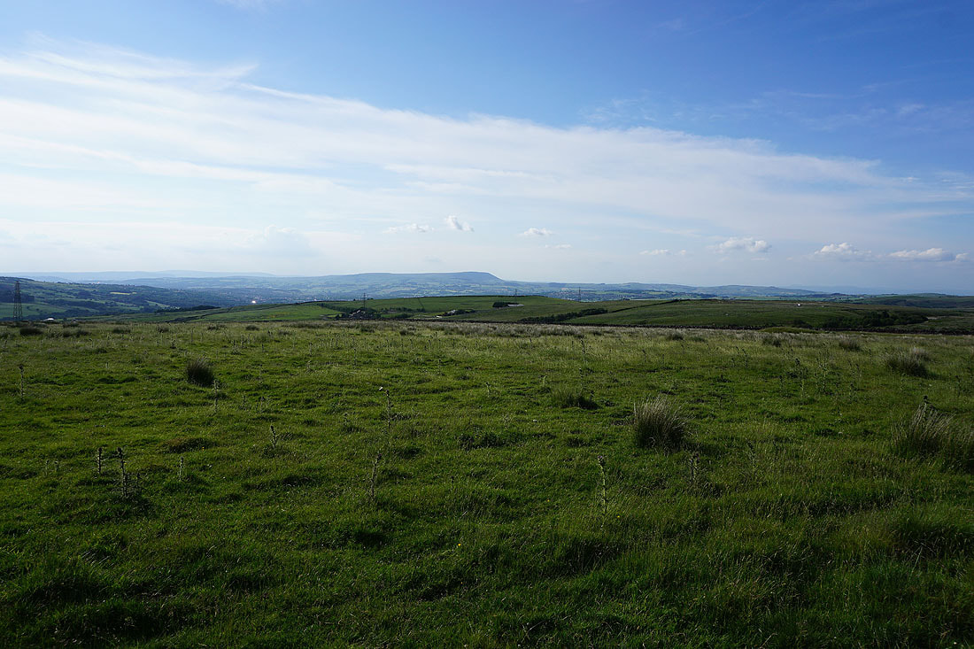
A great view across the cotton grass covered moor to Pendle Hill and Weets Hill, with the faint ouline of the Yorkshire Dales in the distance
Boulsworth Hill and Hoof Stones Height on the other side of Cliviger
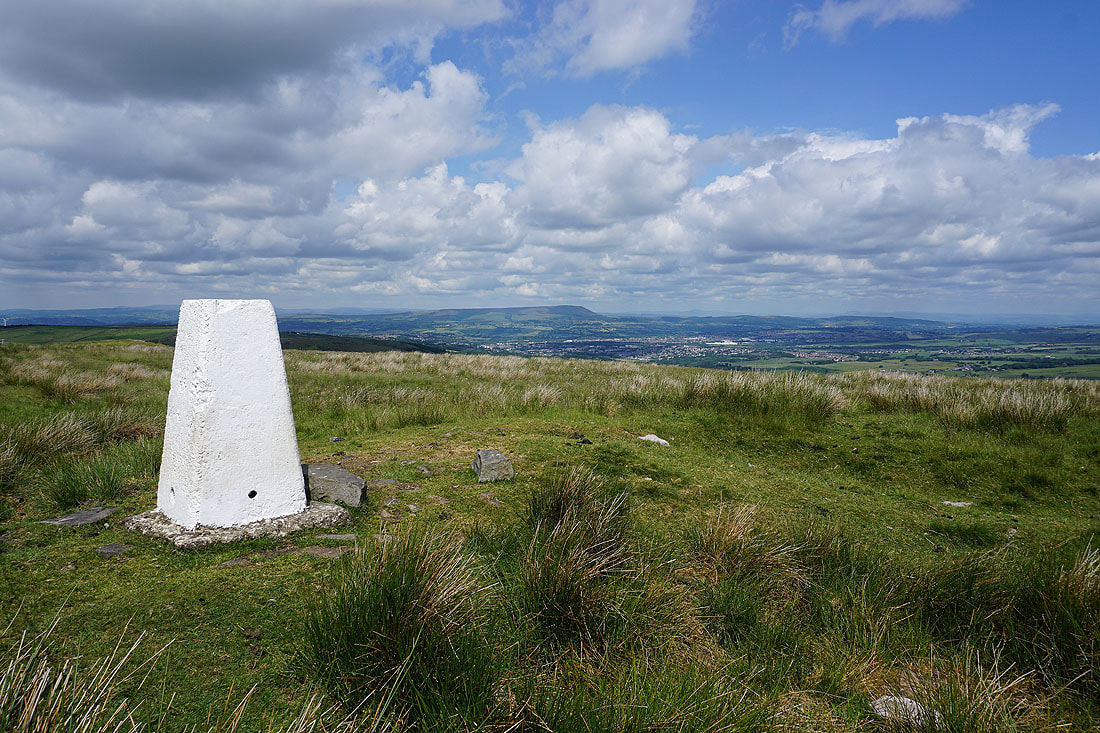
Pendle Hill from the trig point
Looking southwest across Rossendale to Top of Leach and Cowpe Lowe
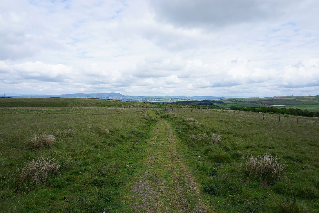
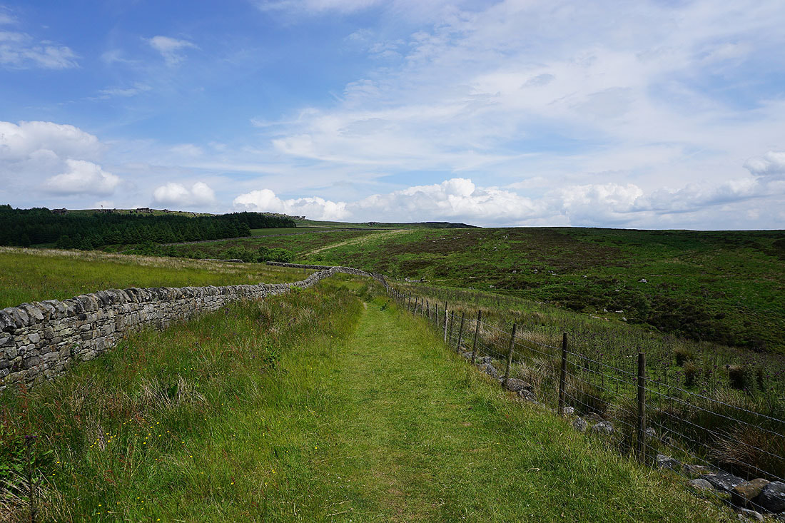
On the bridleway along the side of Heald Moor
To my right the village of Weir in Rossendale
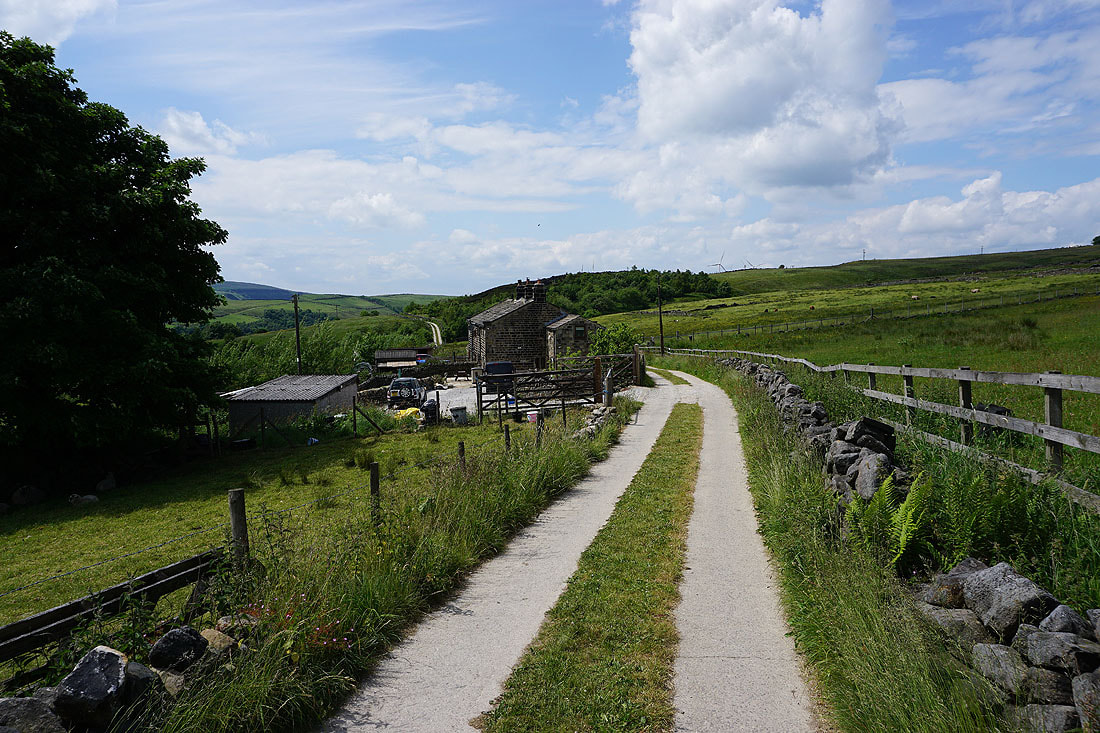
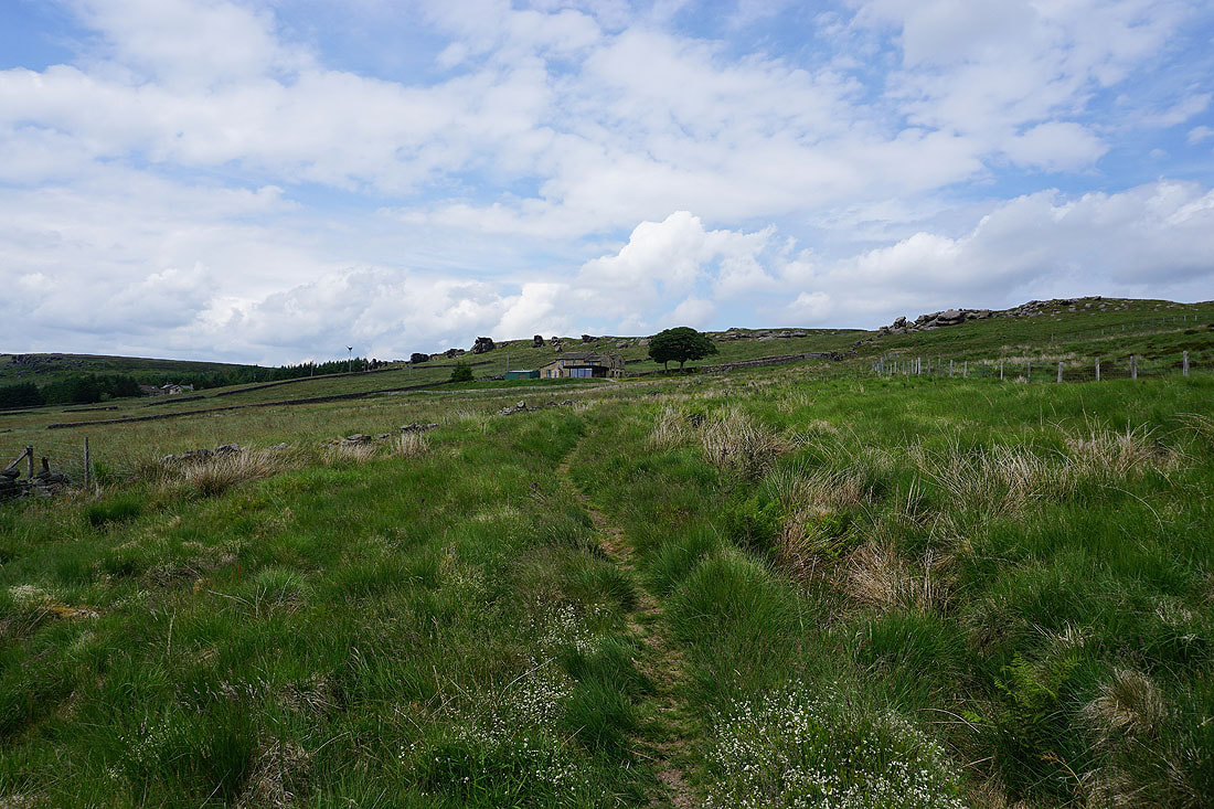
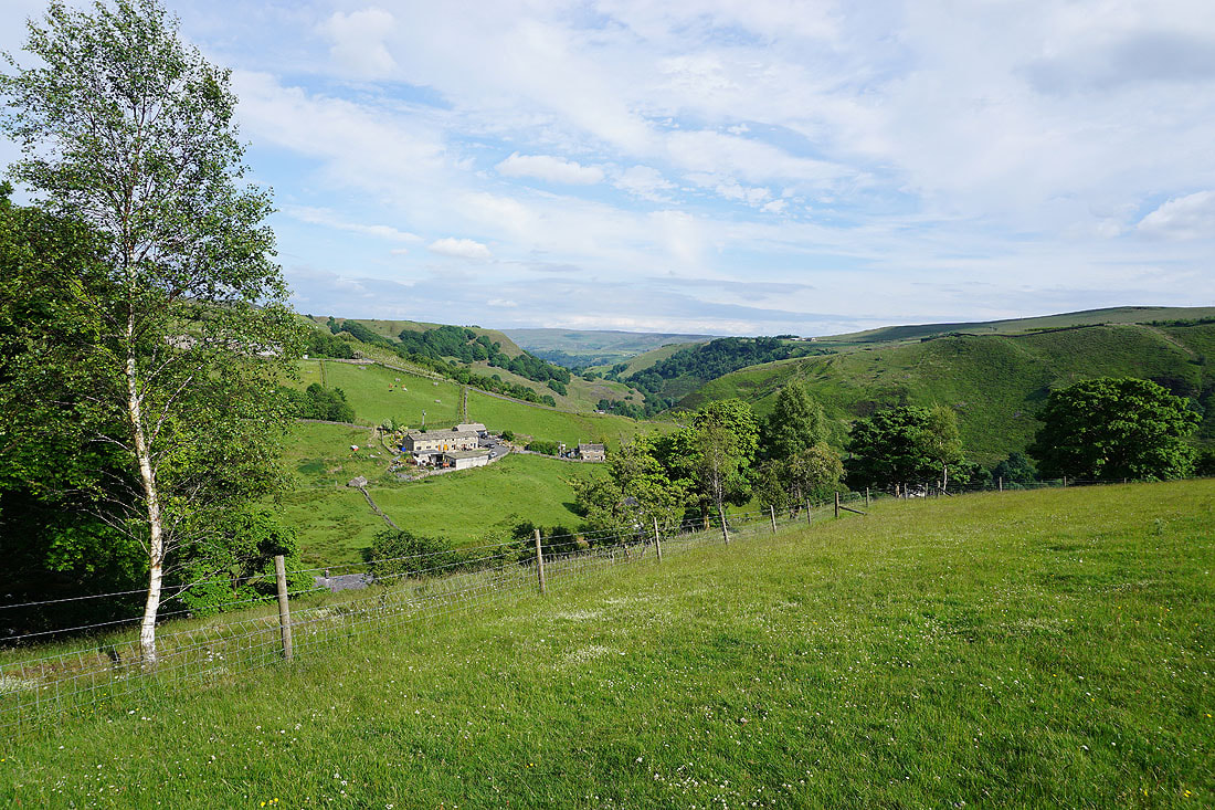
Approaching Heald Top Farm
My lunch stop with a view at the top of Green's Clough
|
|
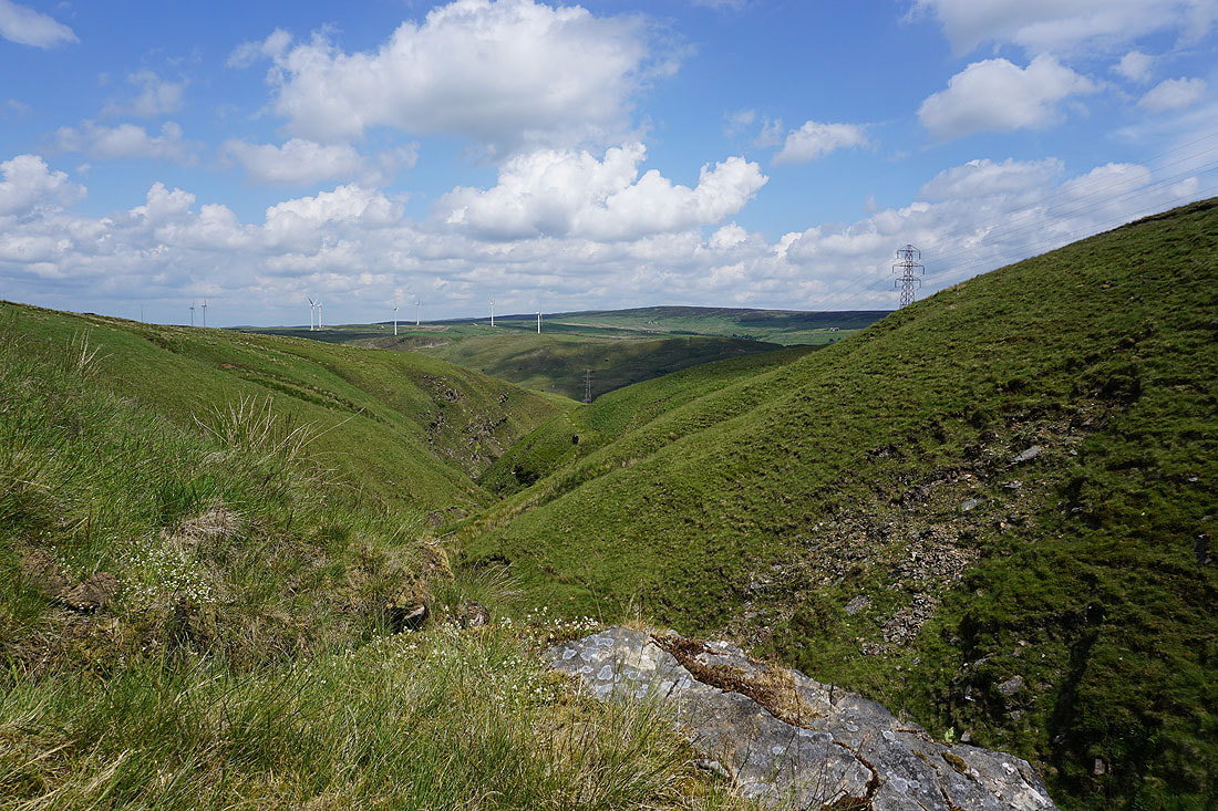
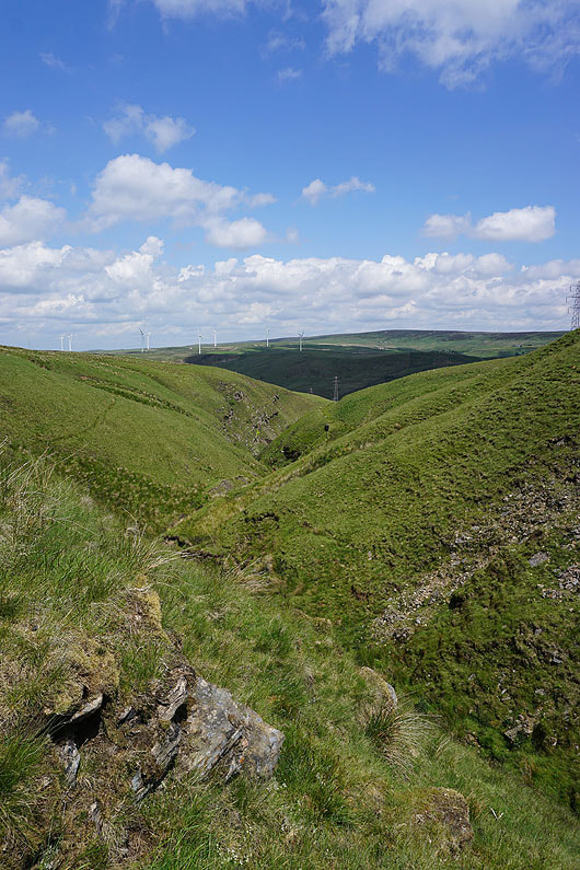
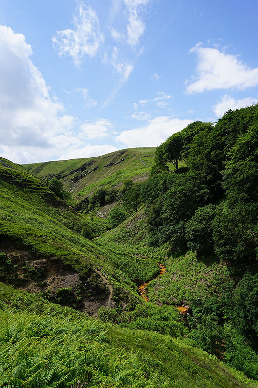
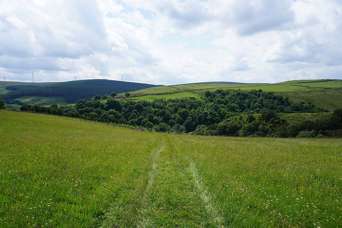
The dramatic and steep sided Green's Clough and Beater Clough as I follow the footpath down to Portsmouth....
|
|
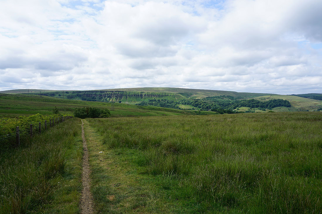
Hoof Stones Height and Whitaker Naze ahead of me before I drop down into Cock Hill Wood
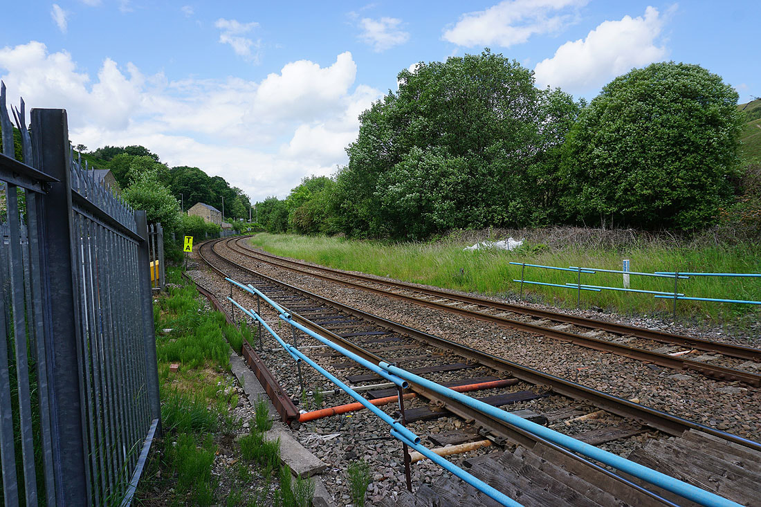
Crossing the Burnley to Todmorden railway line in Portsmouth
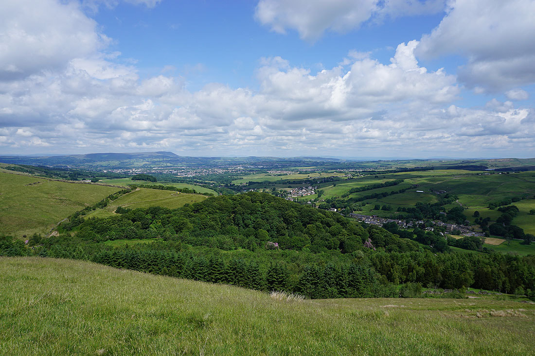
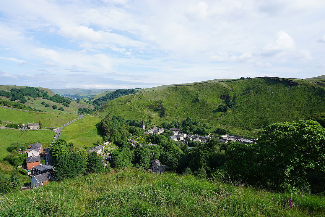
Portsmouth from the Burnley Way up onto Whitaker Naze
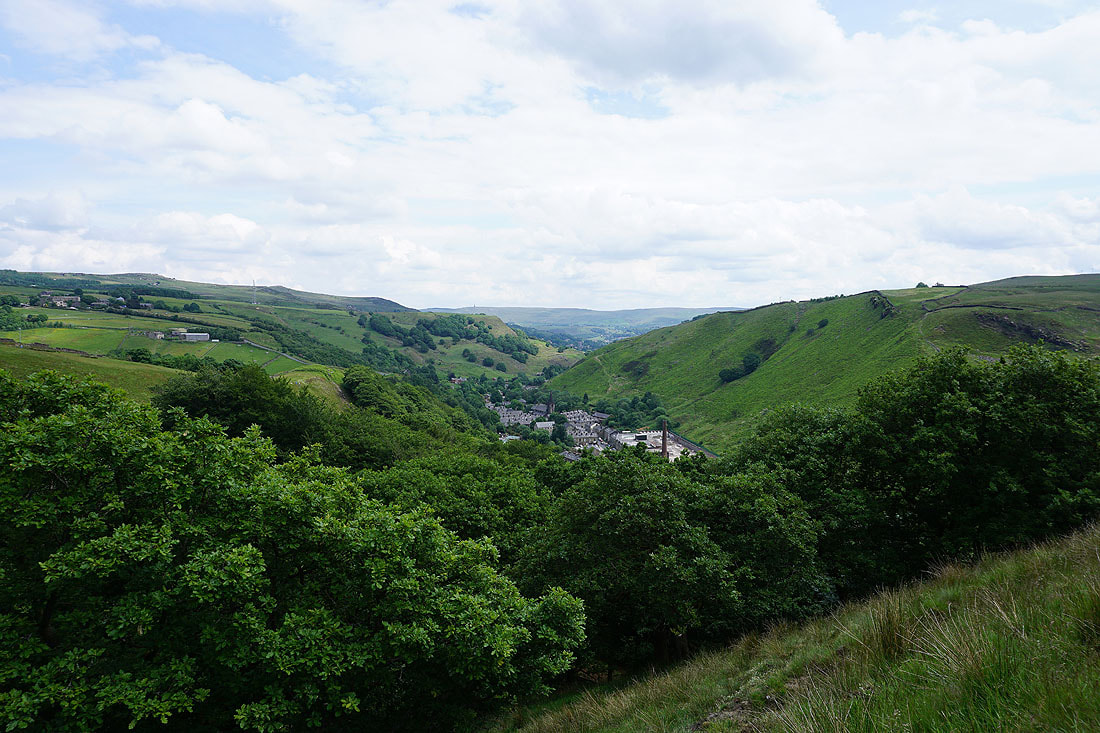
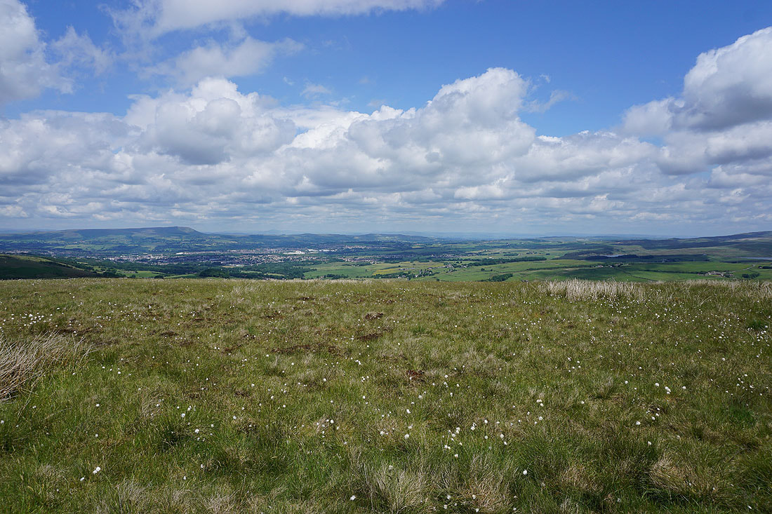
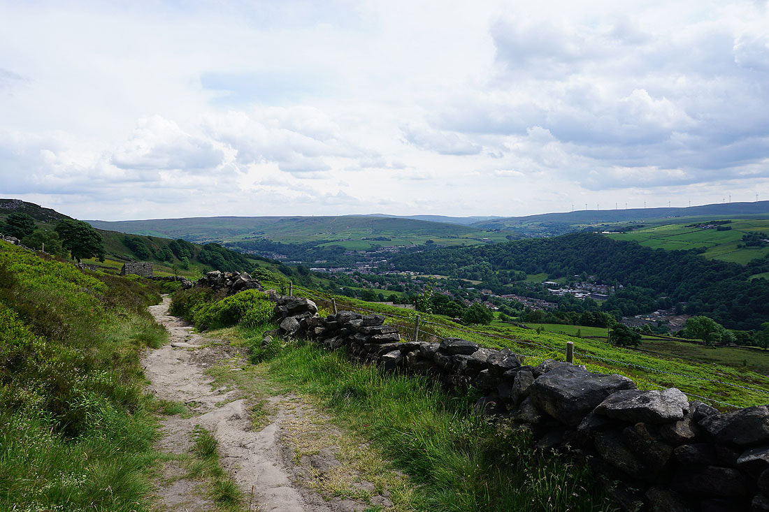
Looking down Calderdale from Whitaker Naze
|
|
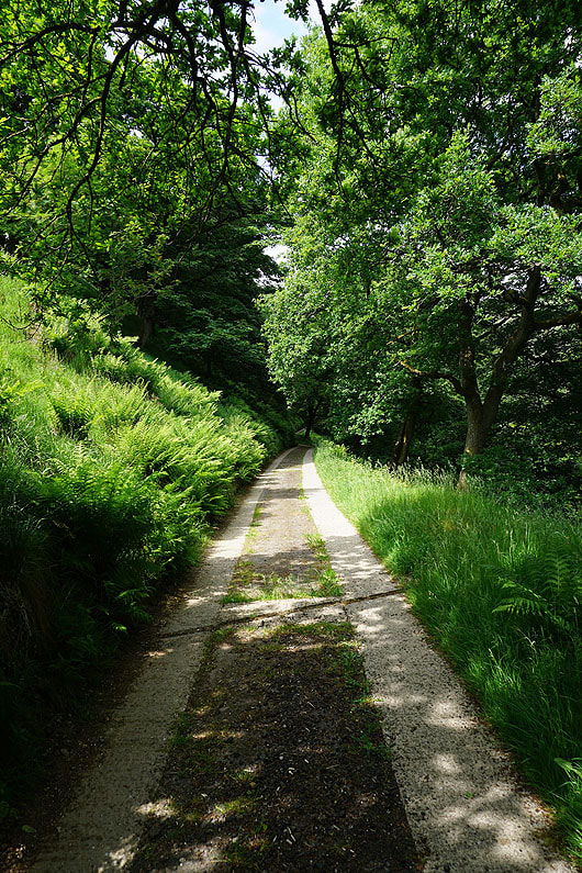
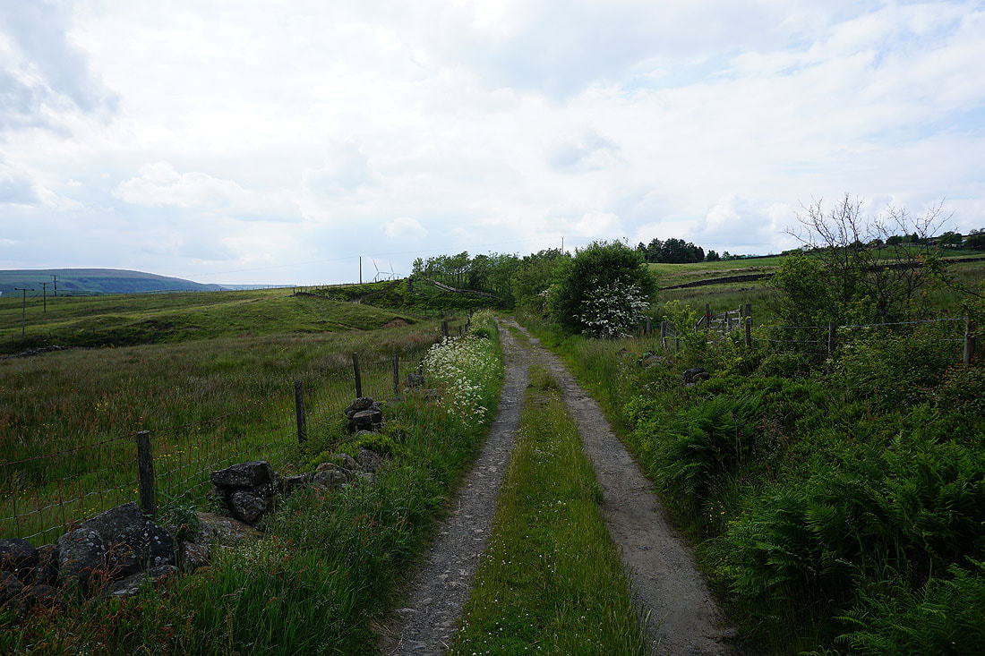
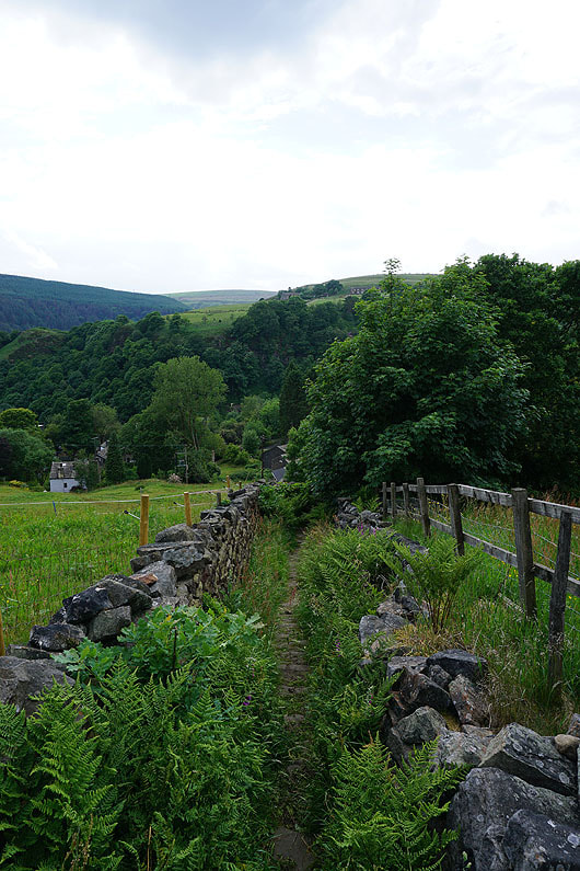
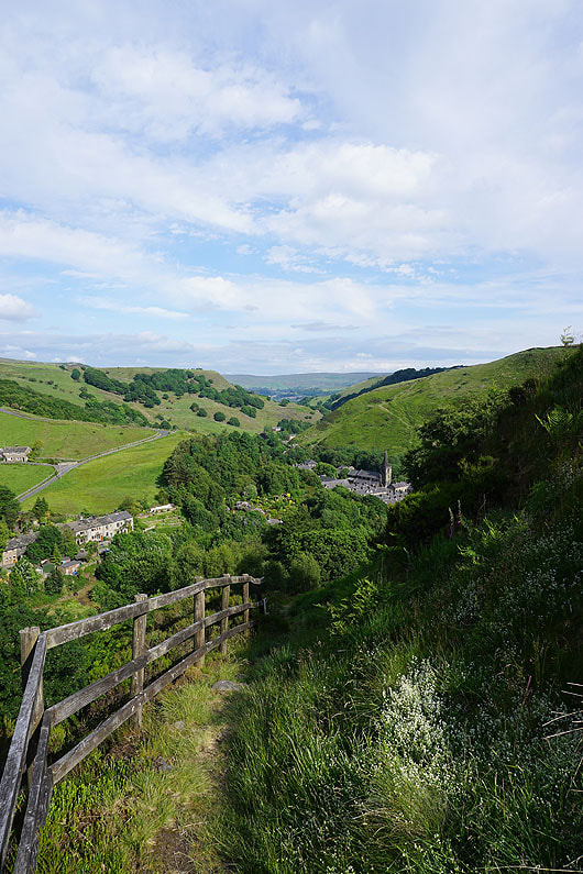
Following the Burnley Way down to Pudsey Clough..
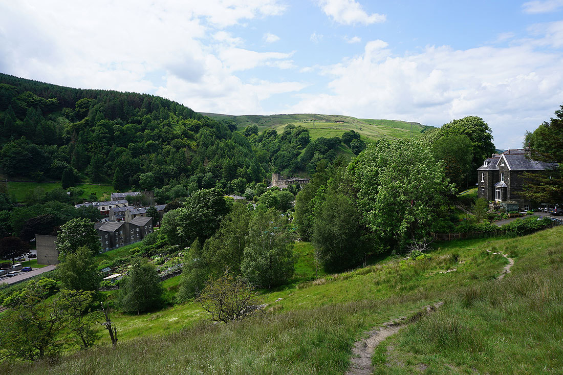
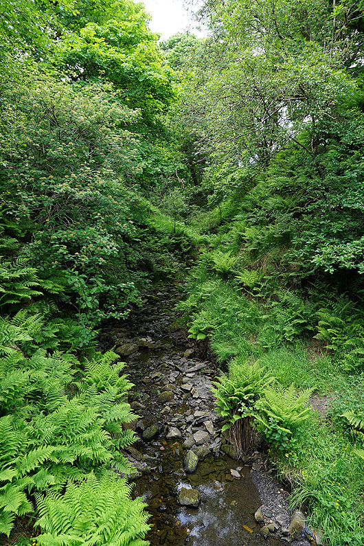
Leaving Pudsey Clough behind. There were people picnicking by the beck beneath that crag.
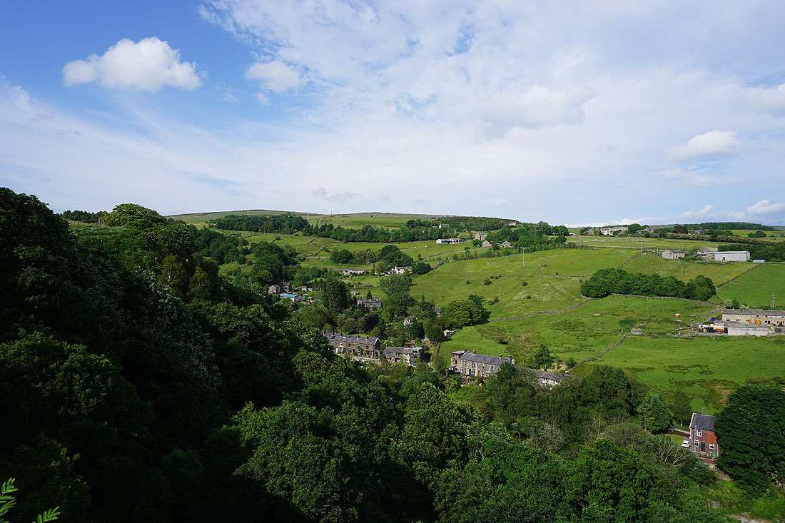
Looking back to the woodland around Pudsey Clough
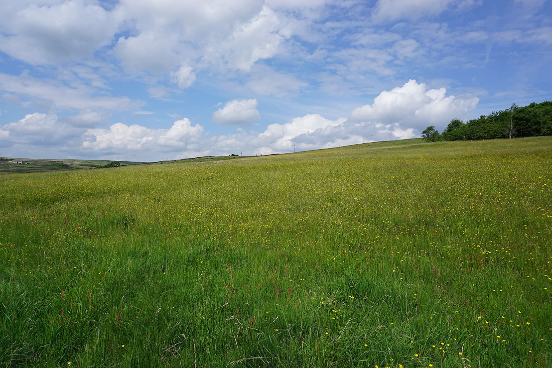
Buttercup filled fields as I follow the bridleway along Shaw Lane to Bluebell Lane..
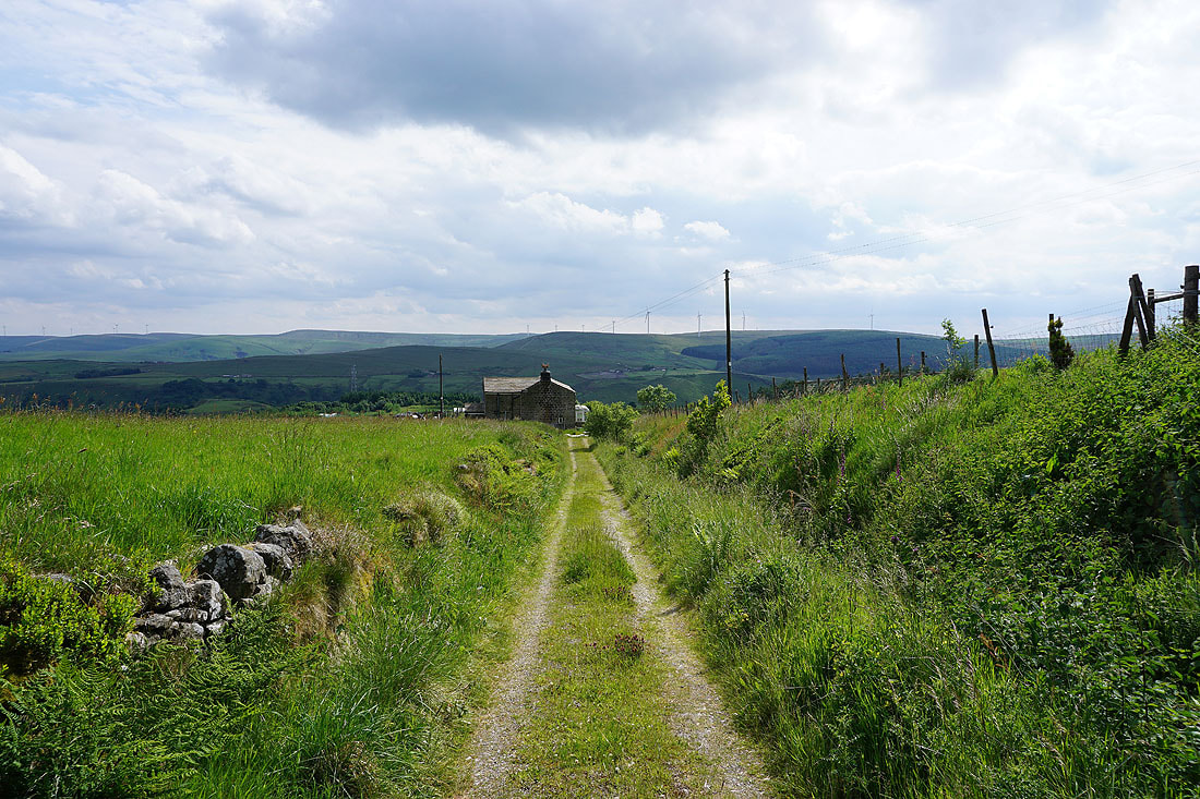
Shore Green House at the bottom of Shaw Lane
|
At the corner of Bluebell Lane and Gall Lane
|
Heading east along the track of Bluebell Lane
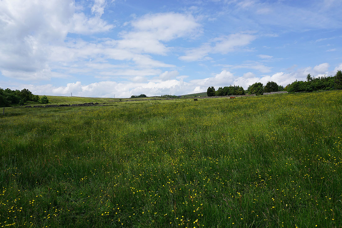
Blue skies and buttercups
Looking back along Bluebell Lane
Hawks Stones on the hillside above
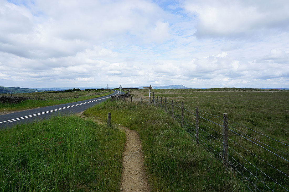
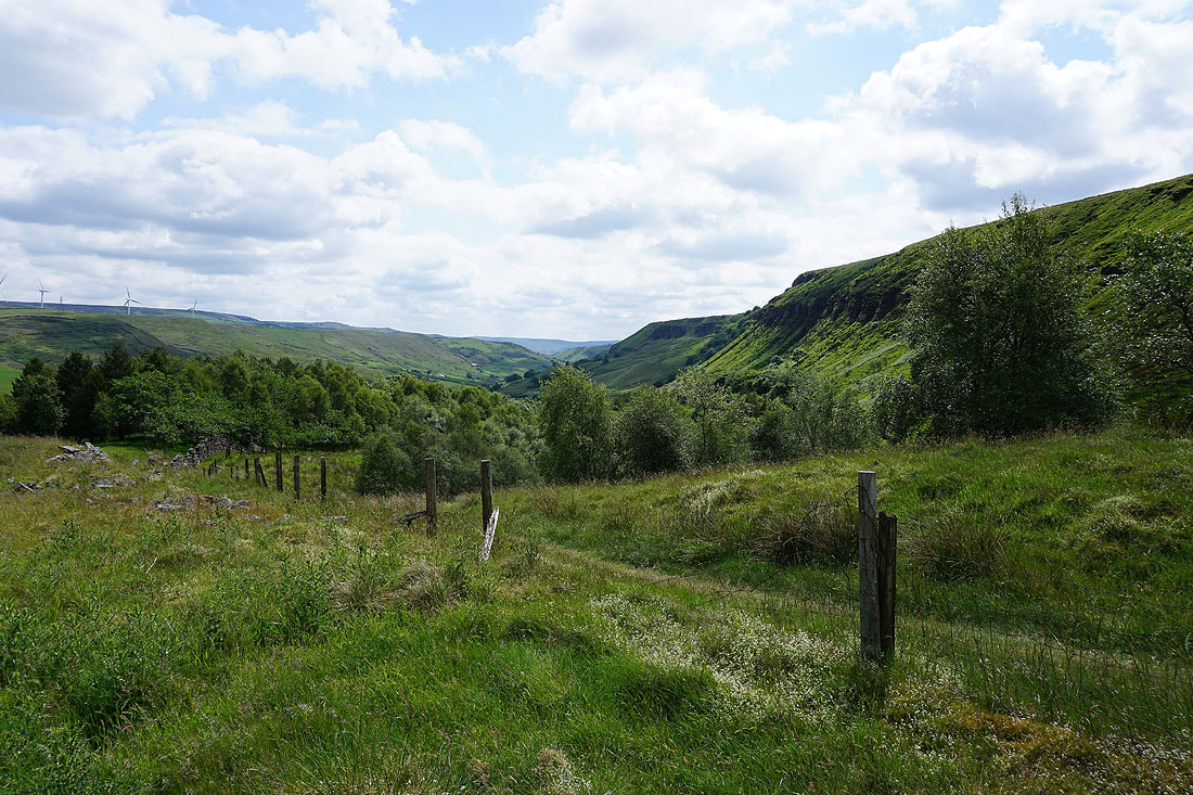
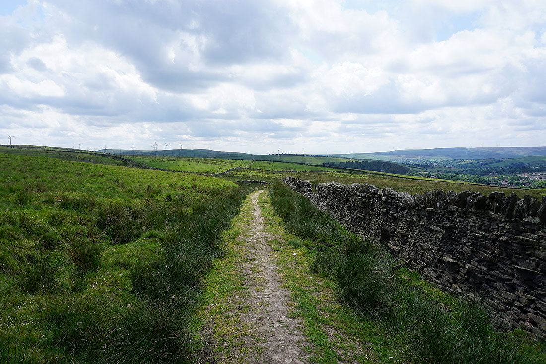
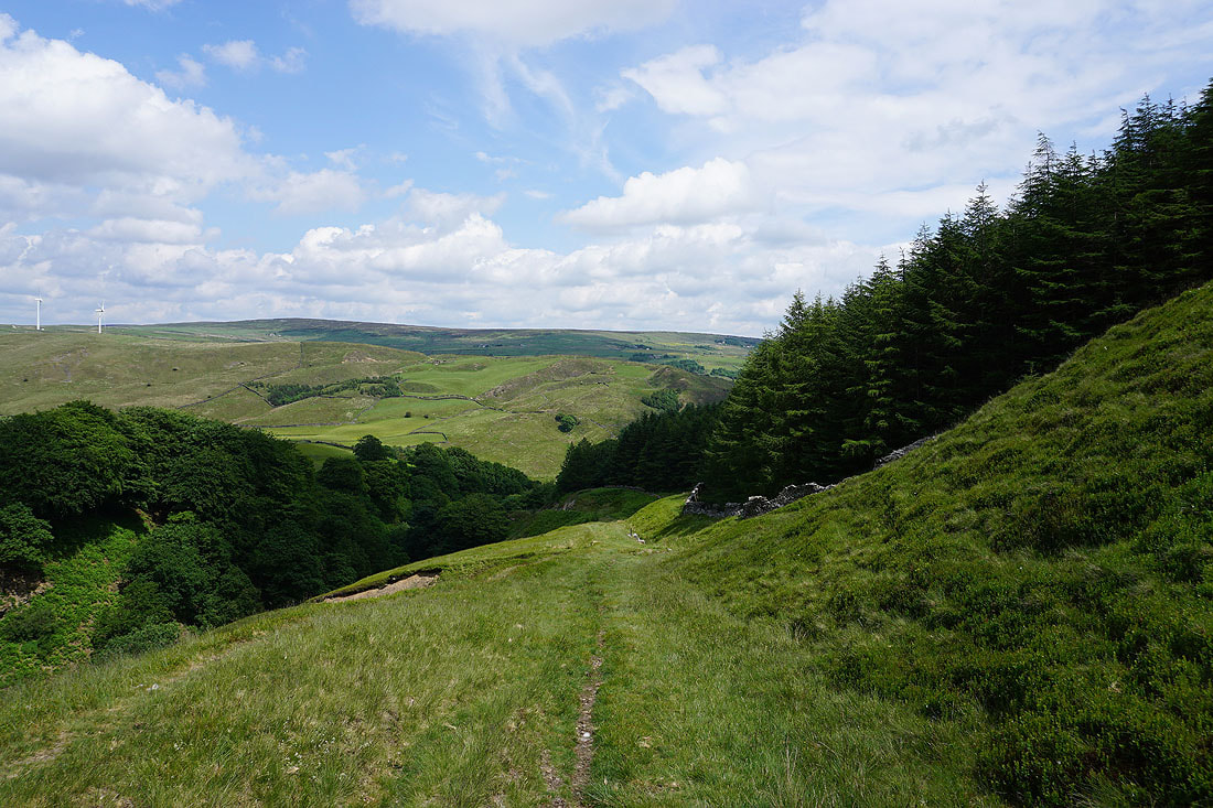
At the end of Bluebell Lane I follow the Calderdale Way east across Hudson Moor and towards Whirlaw Stones above Todmorden..
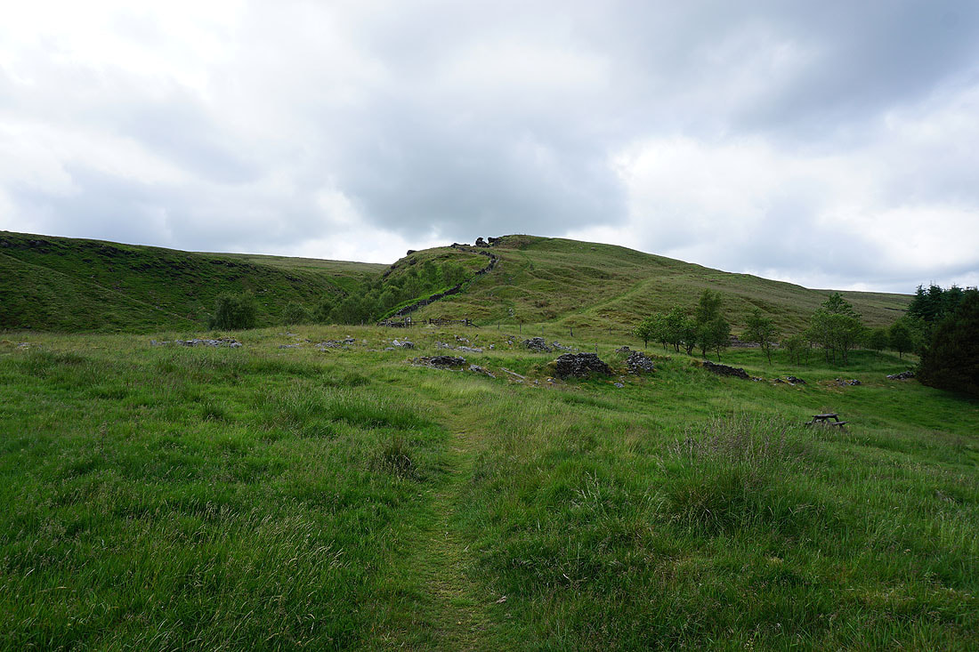
Leaving the Calderdale Way I head up to Bride Stones Moor
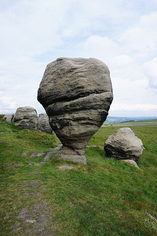
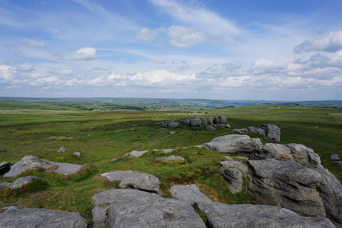
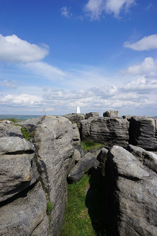
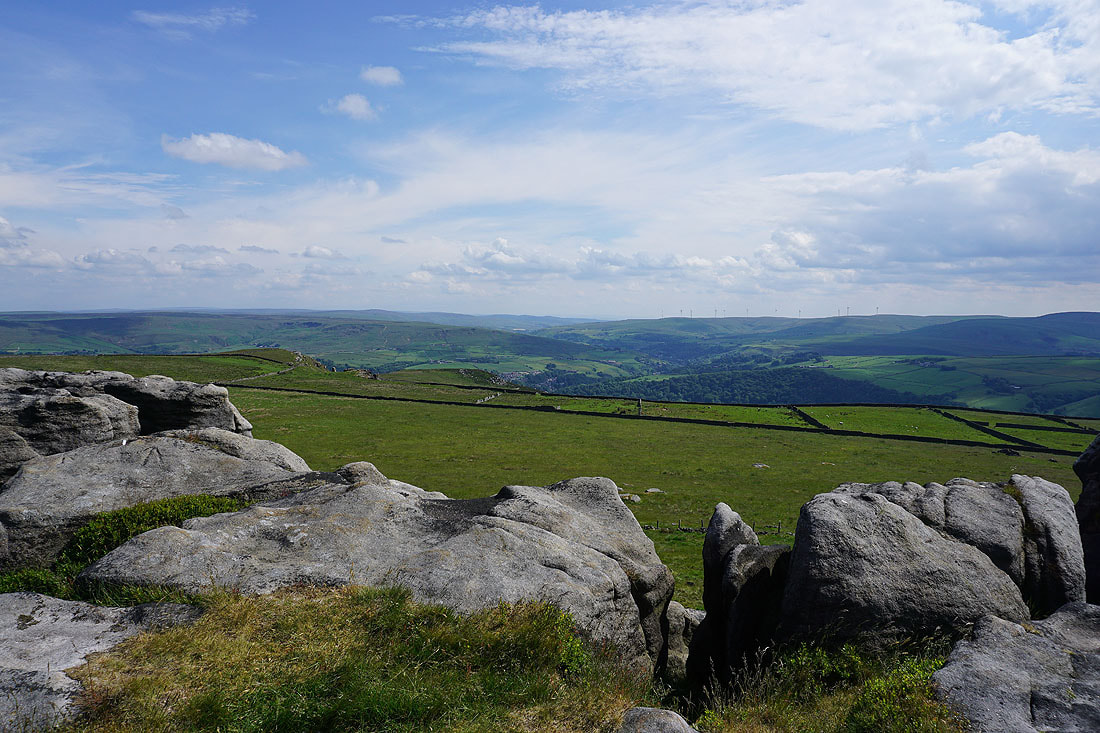
The stand out feature of the Bride Stones
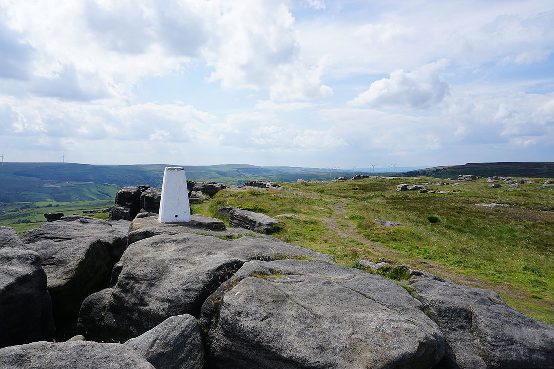
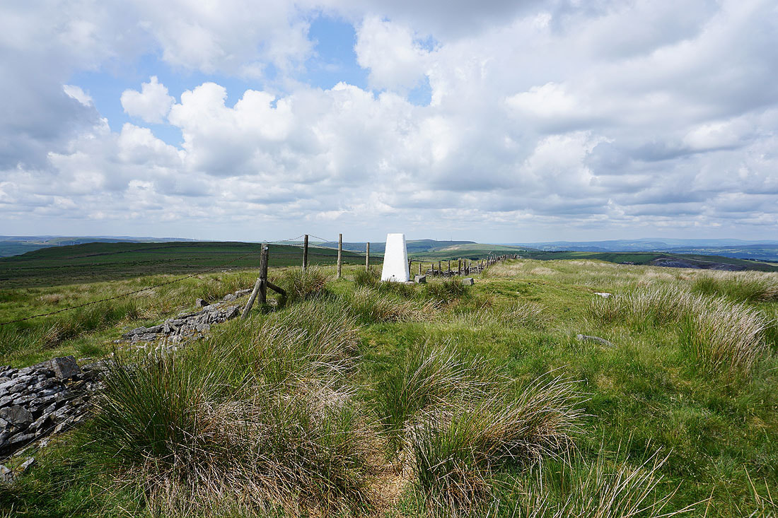
At the trig point on Bride Stones Moor, looking west to Black Scout and Thieveley Pike..
To the southeast, Stoodley Pike and Langfield Common on the other side of Calderdale
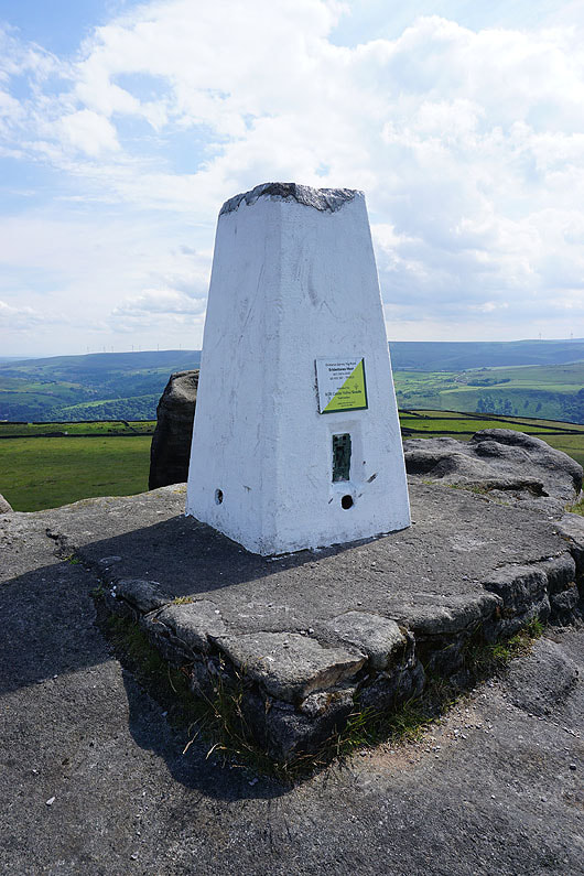
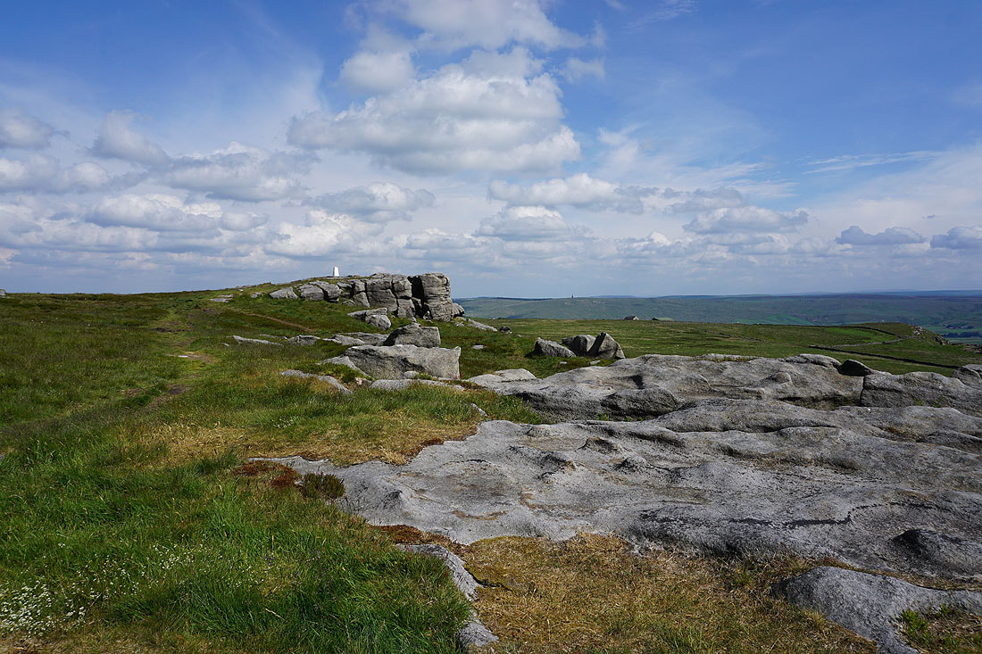
The trig point has been adopted by the Calder Valley Scouts
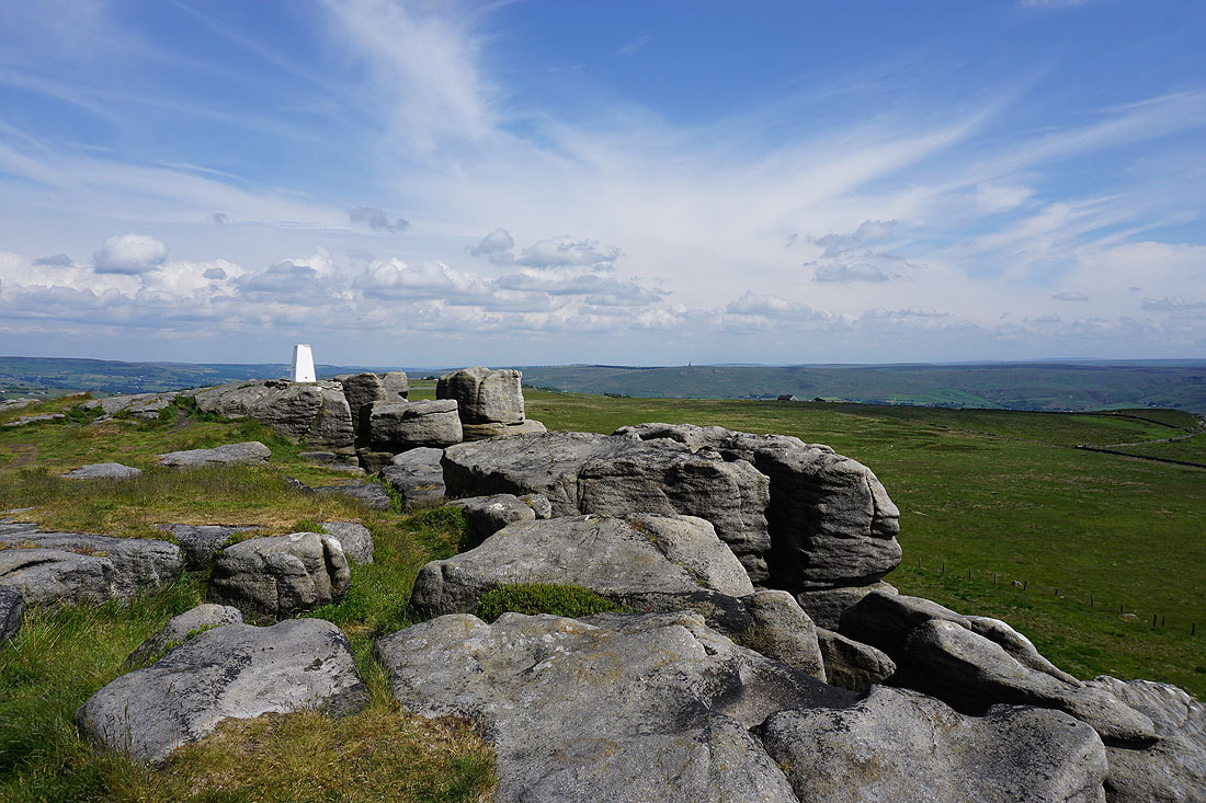
High Brown Knoll and Midgley Moor in the distance to the east
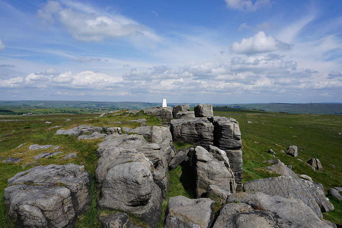
The trig point perched atop the gritstone crags makes a good subject for a photo or two..
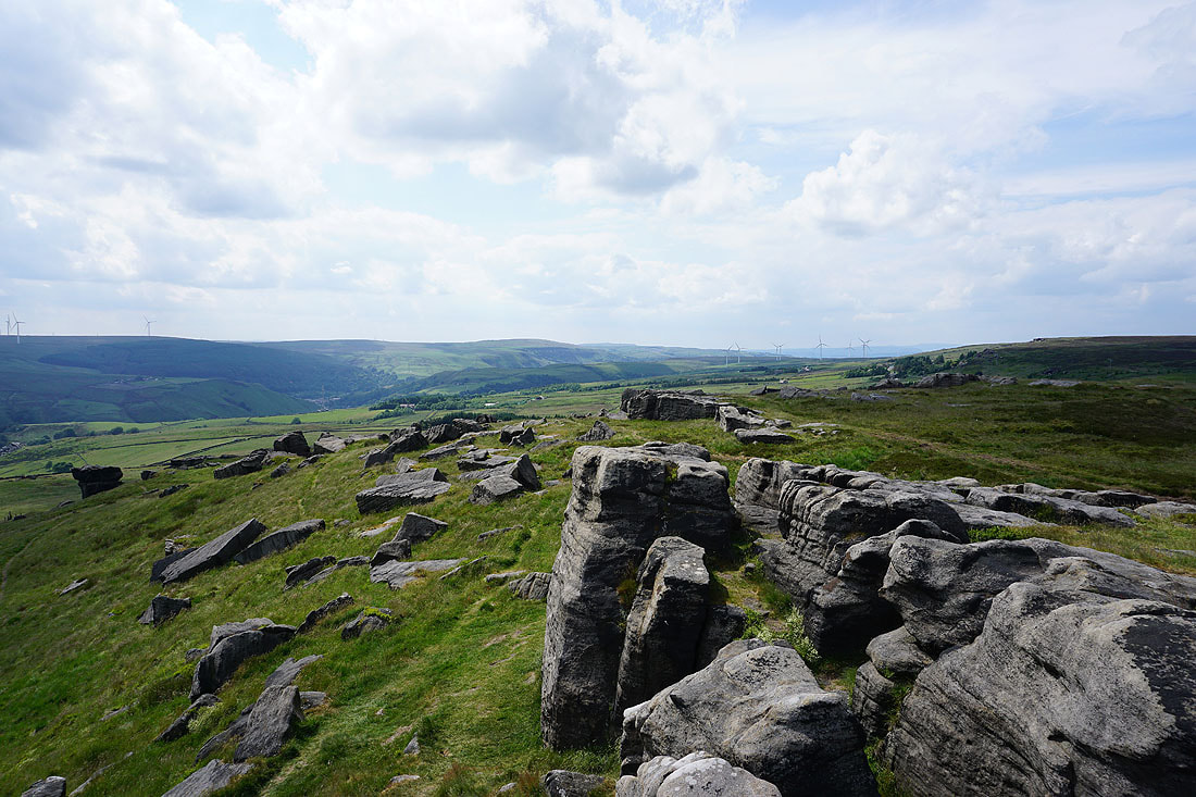
Looking south to Langfield Common and Shore Moor, with the moorland around Blackstone Edge in the distance
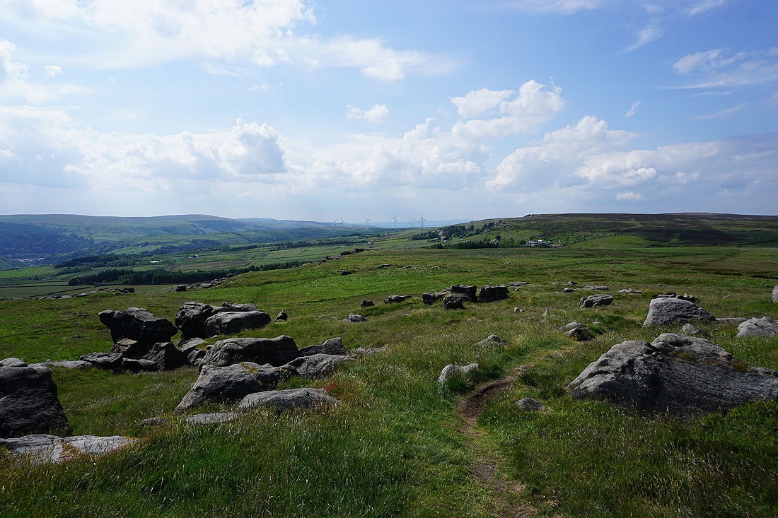
Leaving the trig point behind, I head west off Bride Stones Moor to Kebs Road and Hawks Stones..
I leave Kebs Road for the track of Sagar Lane
Looking back to the Hawks Stones
Heading west along Delf Lane
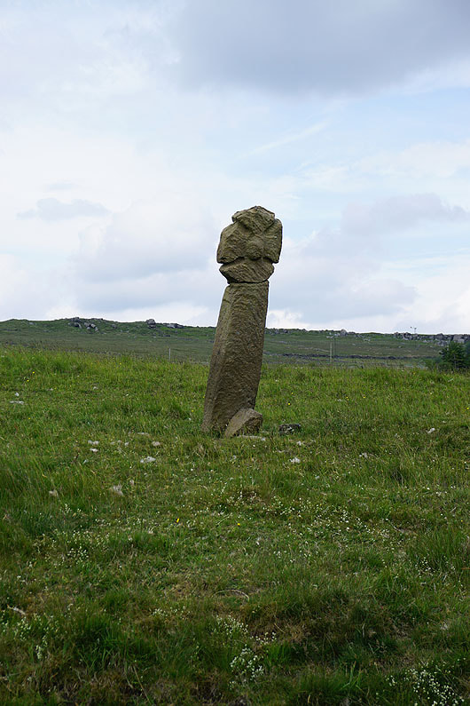
Mount Cross in a neighbouring field
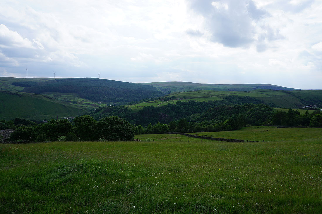
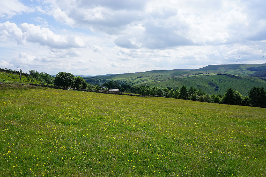
Looking across Pudsey Clough and Dawk Hole Wood to Cock Hill Wood and Heald Moor from Gall Lane
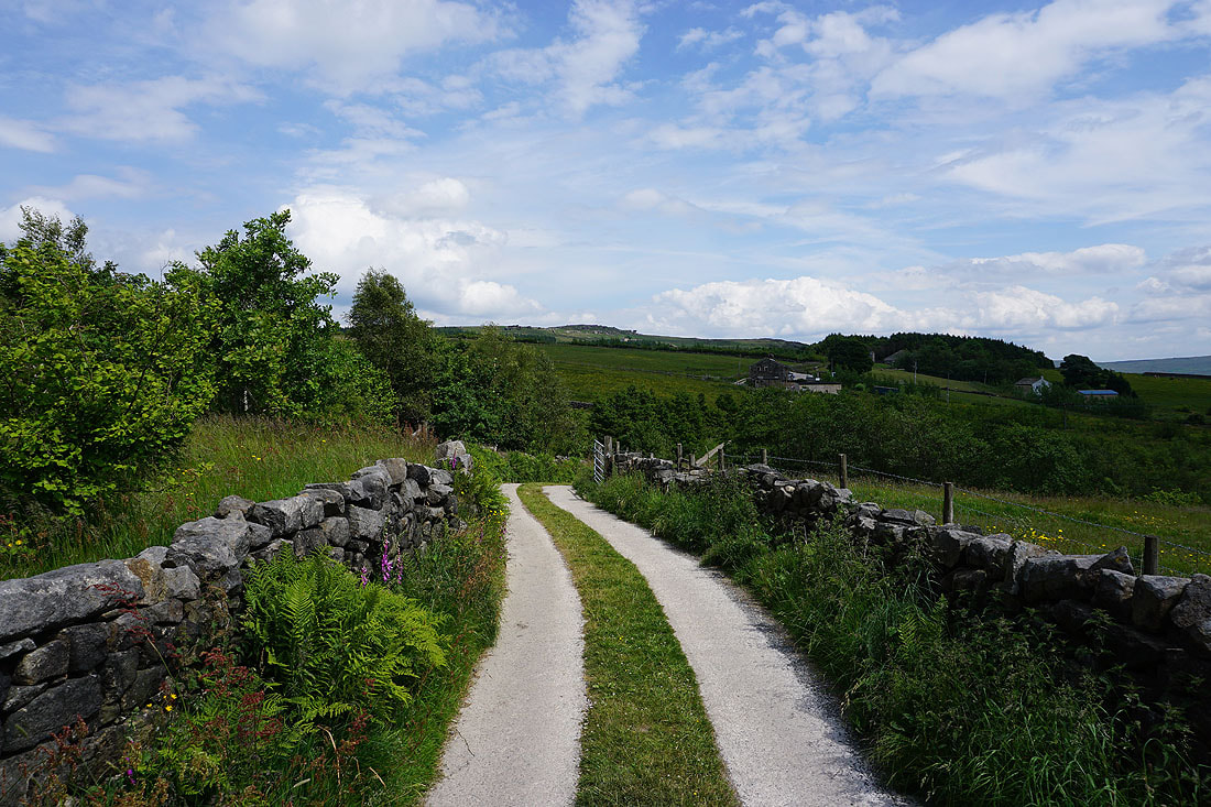
Following the Calderdale Way down into Pudsey Clough
|
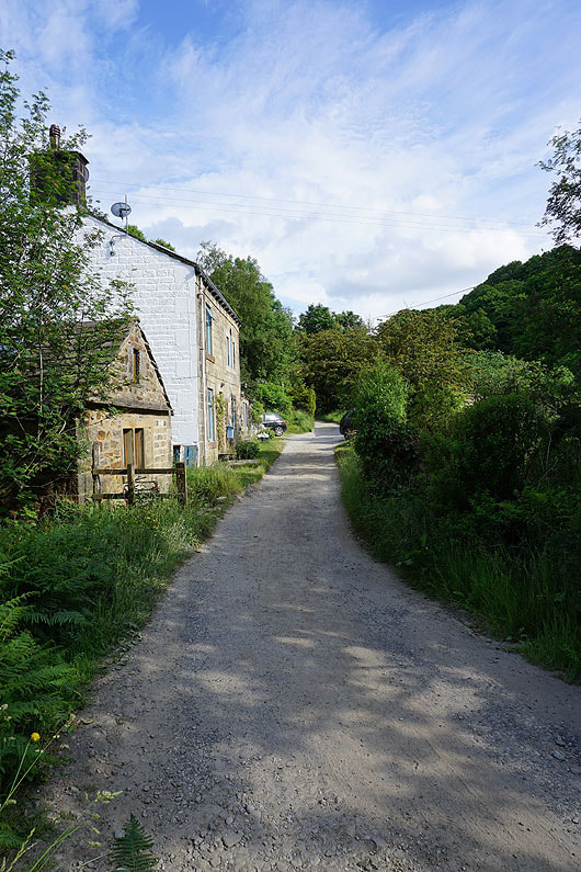
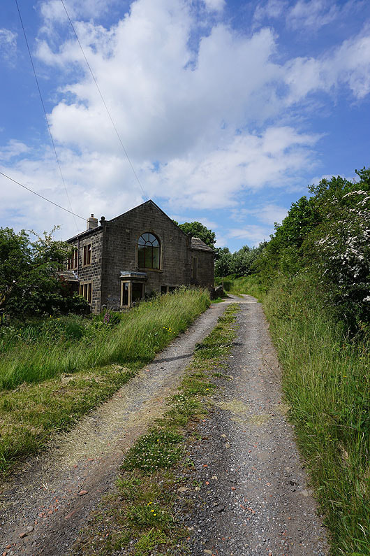
Back at the cottages at the bottom of Pudsey Clough. When I was here a few hours ago I took the footpath between the two buildings.
|
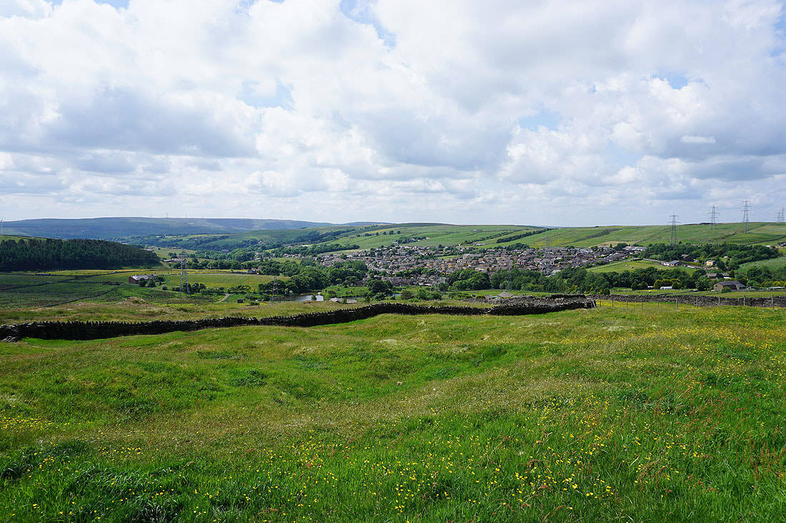
Views down Calderdale from the top of Dawk Hole Wood...
and across Pudsey Clough
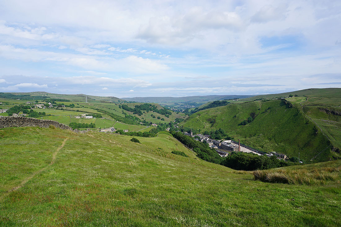
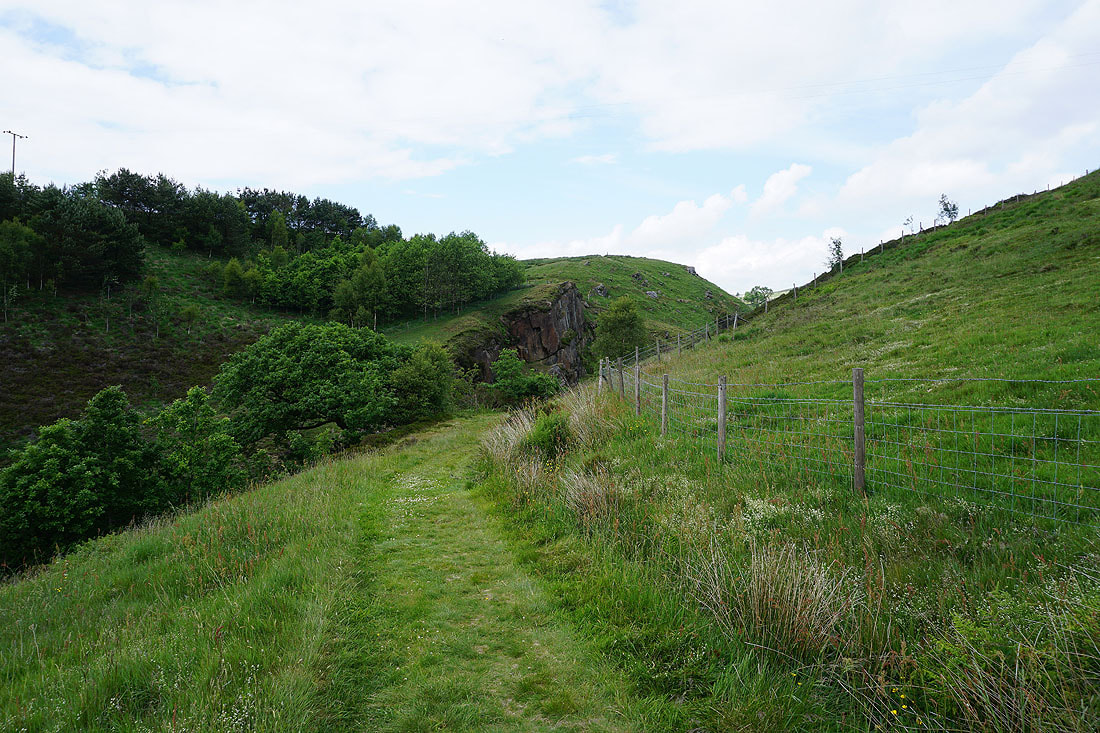
Looking down Calderdale as I head up onto Black Scout
On the bridleway across the moorland of Black Scout
Looking across Cliviger to Thieveley Scout
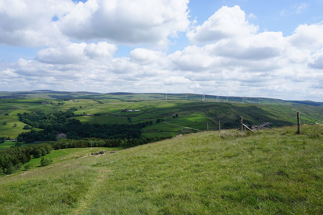
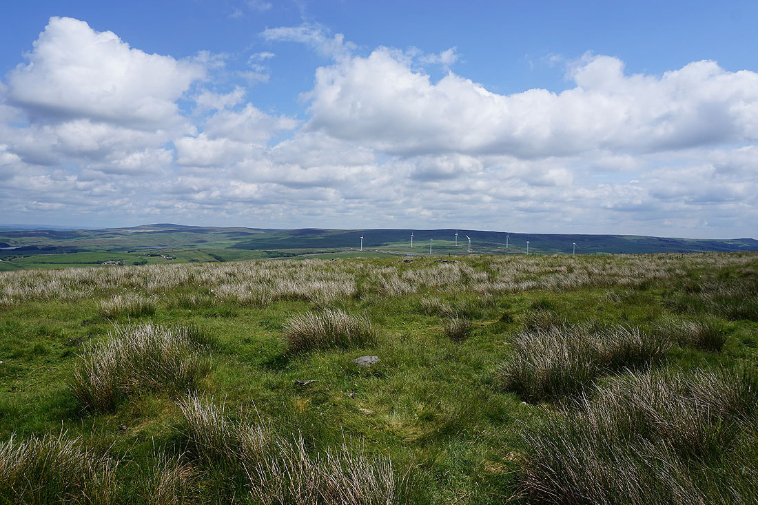
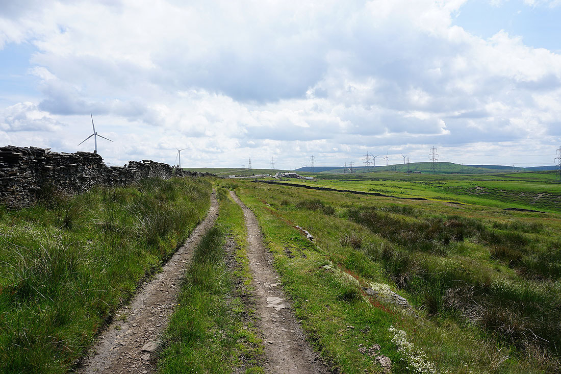
Pendle Hill in the distance as I reach the moorland of Cartridge Pasture
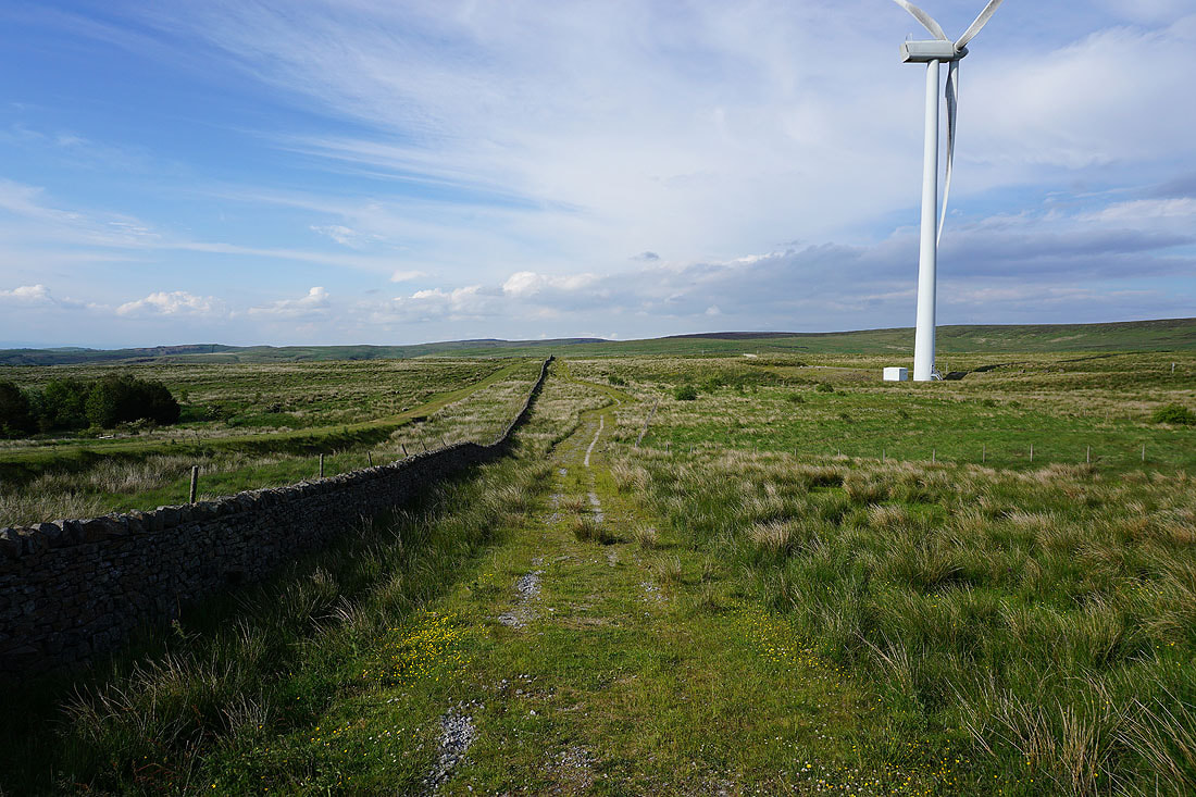
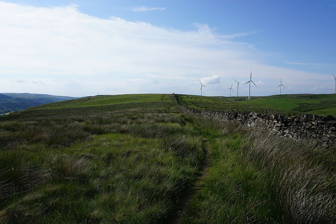
Following the bridleway to the Long Causeway and back to the car park. You get pretty close to the wind turbines.