19th March 2011 - Middleton Fell
Walk Details
Distance walked: 12.4 miles
Total ascent: 2158 ft
OS map used: OL2 - Yorkshire Dales, Southern & Western areas
Time taken: 6.5 hrs
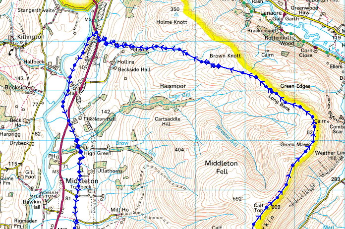
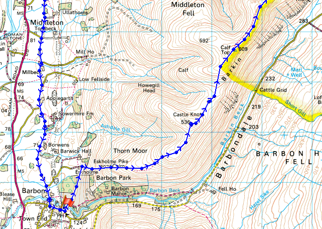
Route description: Barbon-Eskholme-Eskholme Pike-Castle Knott-Calf Top-Barkin Top-Long Bank-Fellside-A683-River Lune-Low Waterside-Middleton Hall Bridge-Middleton-High Road-Barbon
An ascent of Calf Top & Middleton Fell from Barbon with the return by the River Lune and country lanes.
Total ascent: 2158 ft
OS map used: OL2 - Yorkshire Dales, Southern & Western areas
Time taken: 6.5 hrs
Route description: Barbon-Eskholme-Eskholme Pike-Castle Knott-Calf Top-Barkin Top-Long Bank-Fellside-A683-River Lune-Low Waterside-Middleton Hall Bridge-Middleton-High Road-Barbon
An ascent of Calf Top & Middleton Fell from Barbon with the return by the River Lune and country lanes.
Route map
© Crown copyright. All rights reserved. License number PU 100034184.
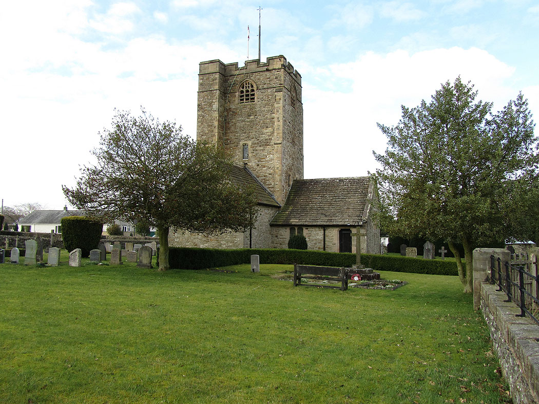
St Bartholomews church in Barbon. Barbon is a village in the far south of Cumbria a few miles north of Kirkby Lonsdale.
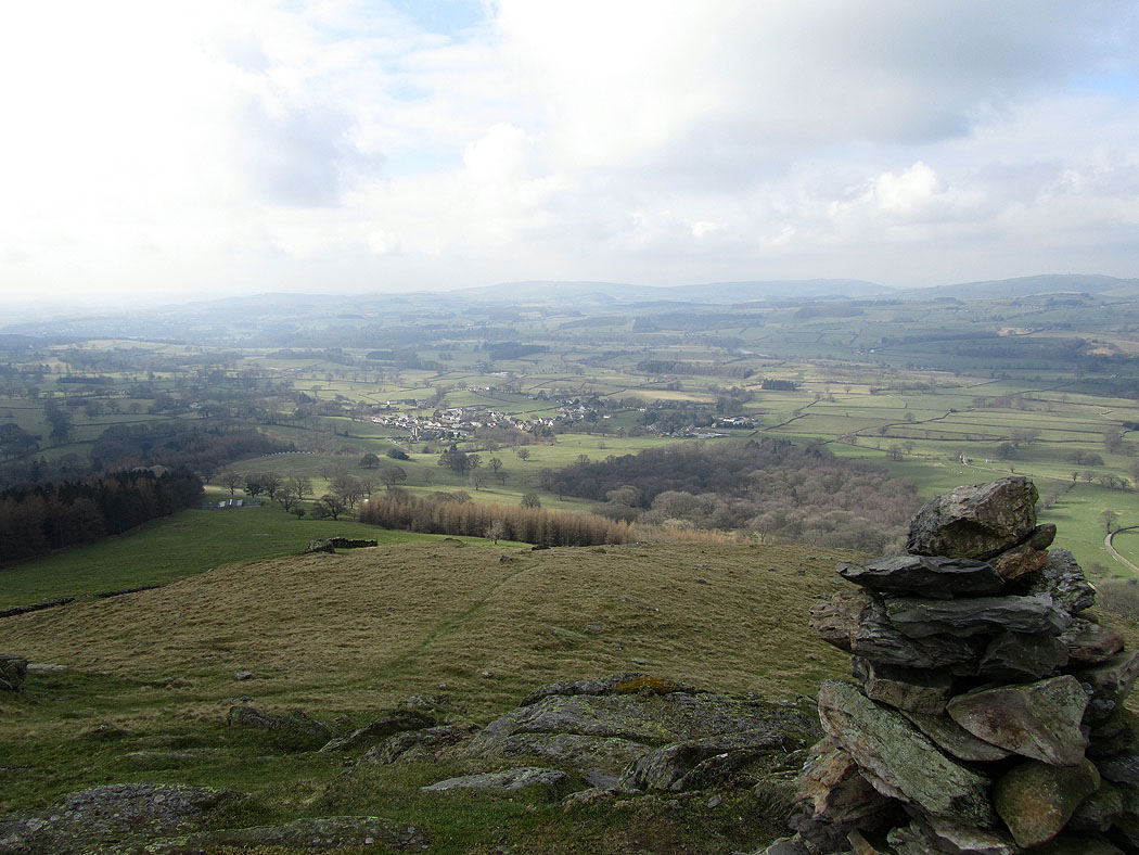
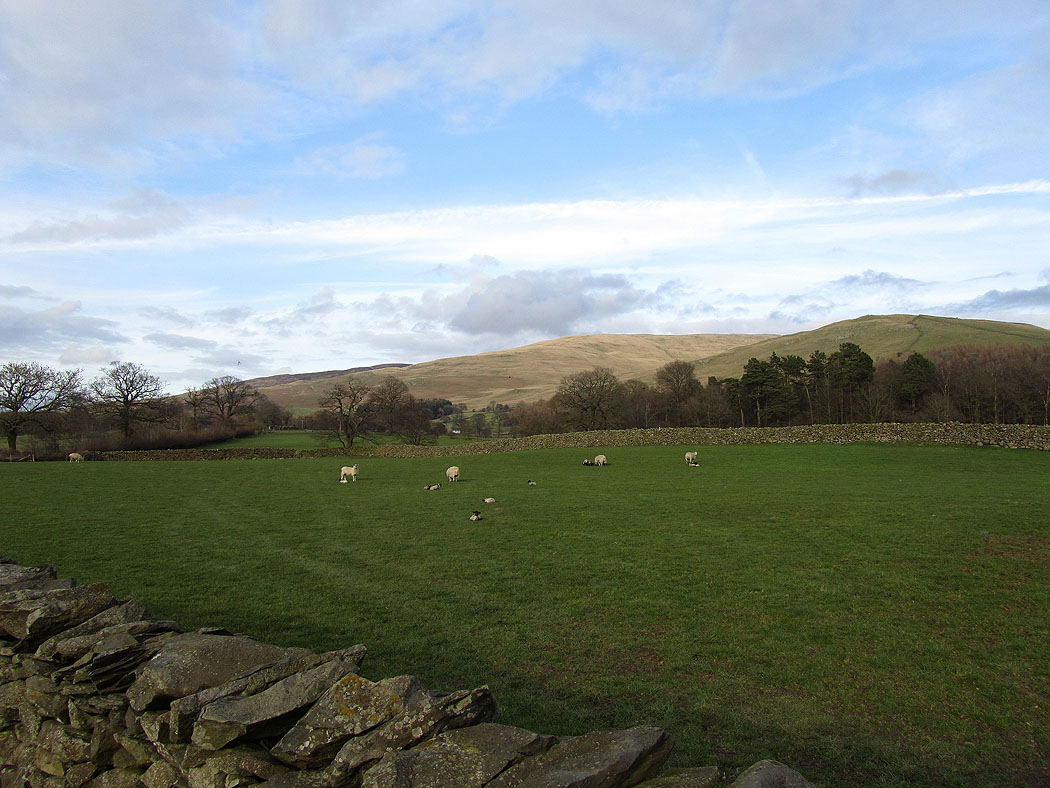
Barbon below from Eskholme Pike, the first stop on the way up
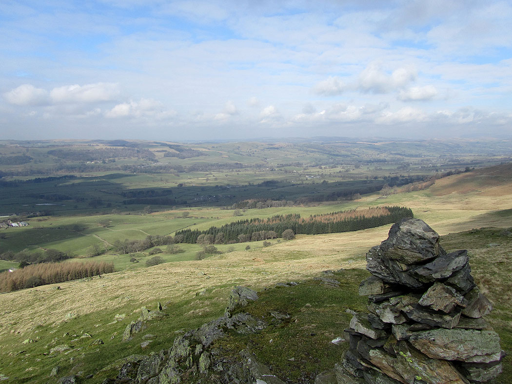
The Lune valley from Eskholme Pike
Crag Hill in the distance
Crag Hill from Castle Knott
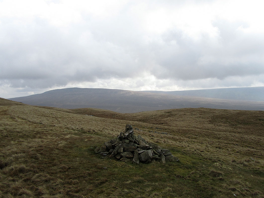
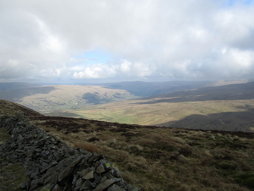
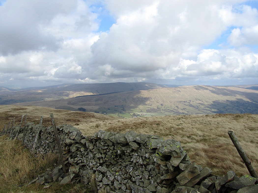
The way ahead. Calf Top on the left and the hills around Dentdale to the right.
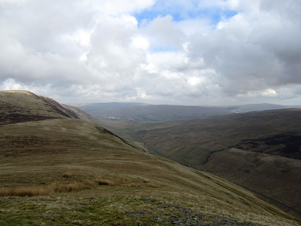
Calf Top to the left. The valley below to the right is Barbondale.
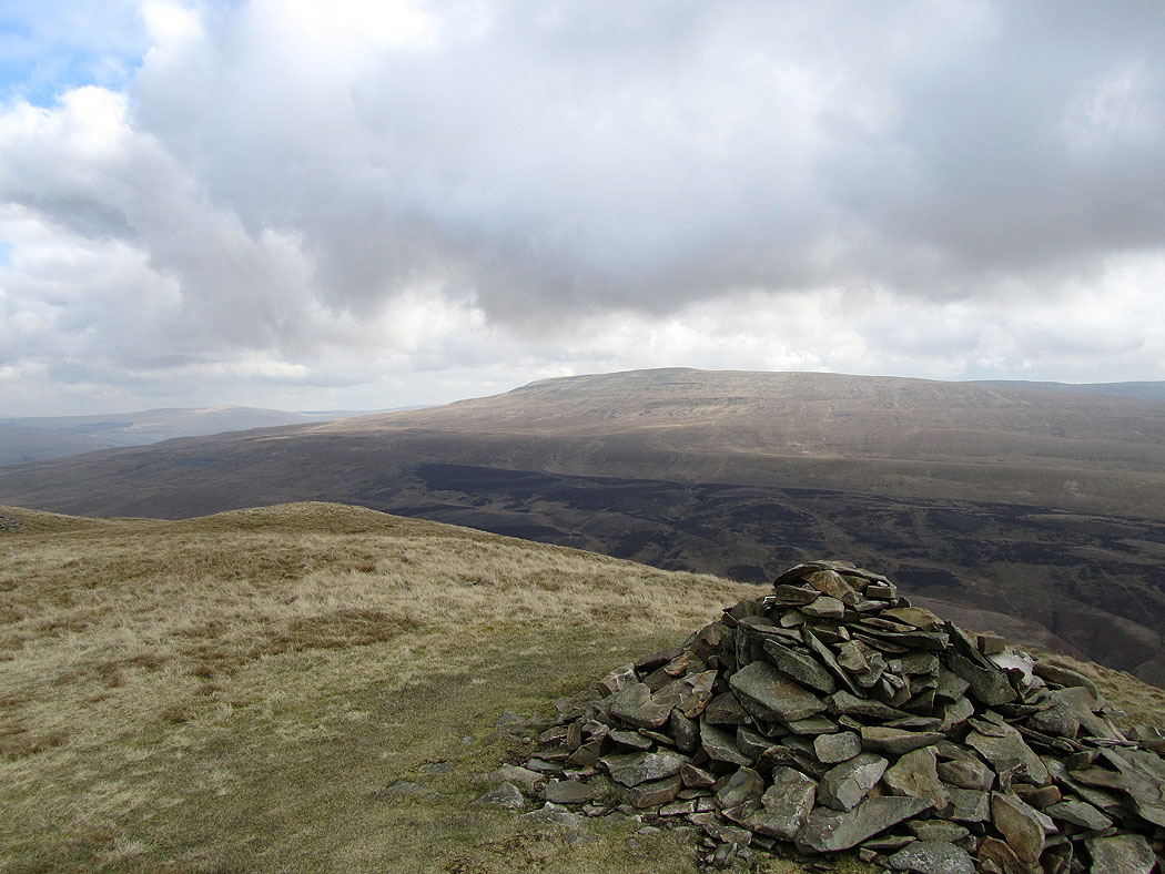
Dentdale from Calf Top
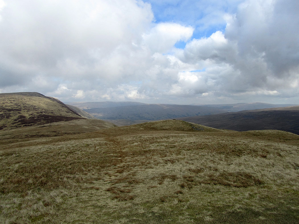
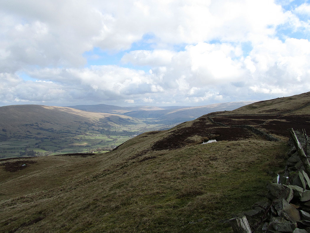
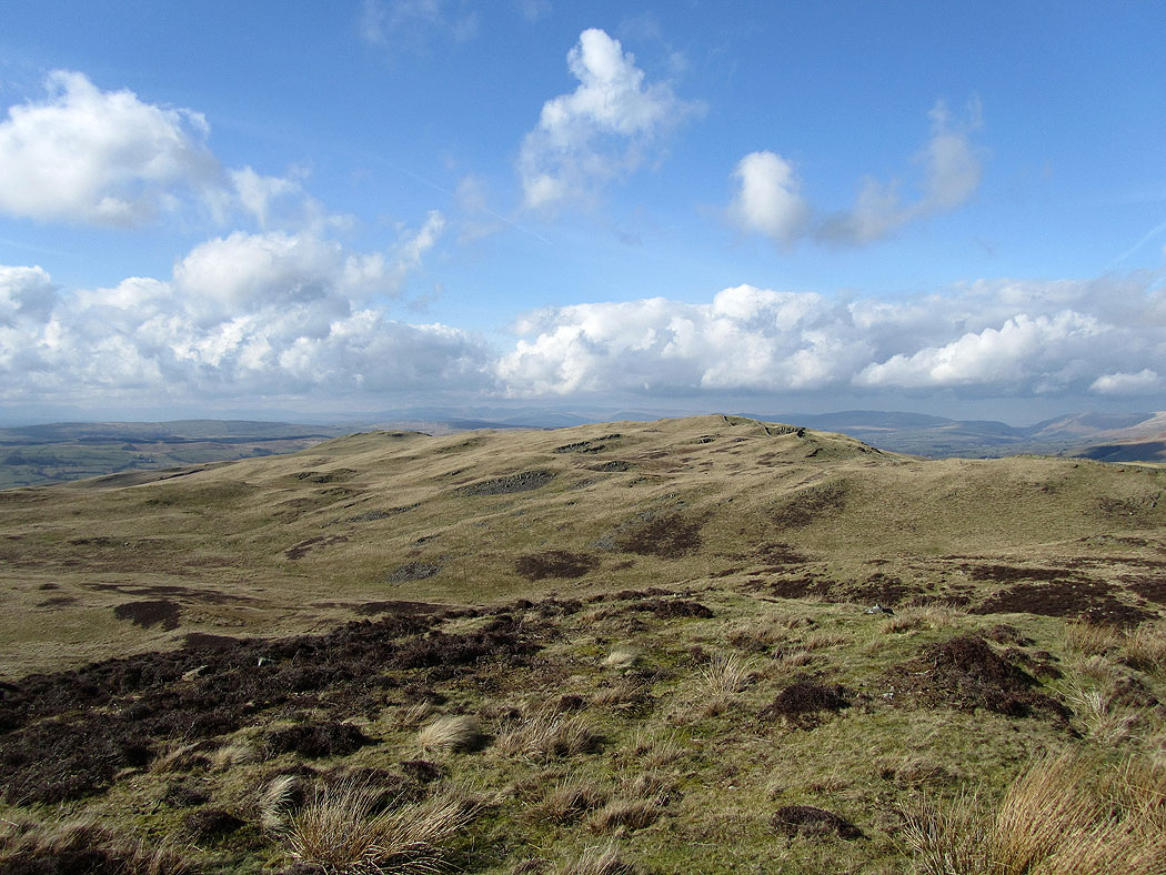
The route I'm taking follows the ridge running down to the left. The hills in cloud behind are the Howgills.
The view across to Dentdale from Calf Top
Dentdale
The cloud has cleared from the Howgills
Dentdale with the village of Dent visible
The Howgills ahead as I make my way down along the ridge
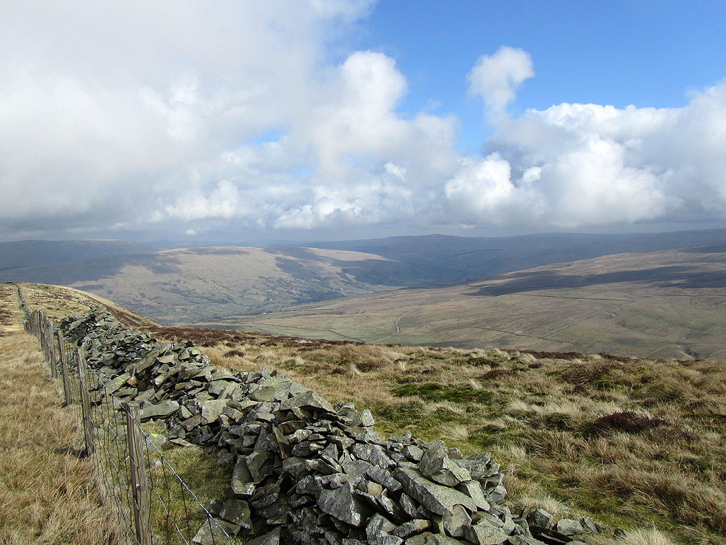
Looking across Dentdale on the way down. The hill closest is Aye Gill Pike and behind that Baugh Fell.
Dentdale. The high point in the distance on the left is Great Knoutberry Hill.
The Howgills
and again
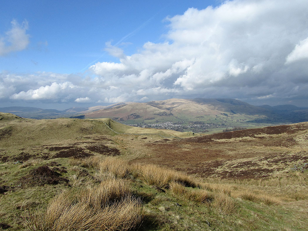
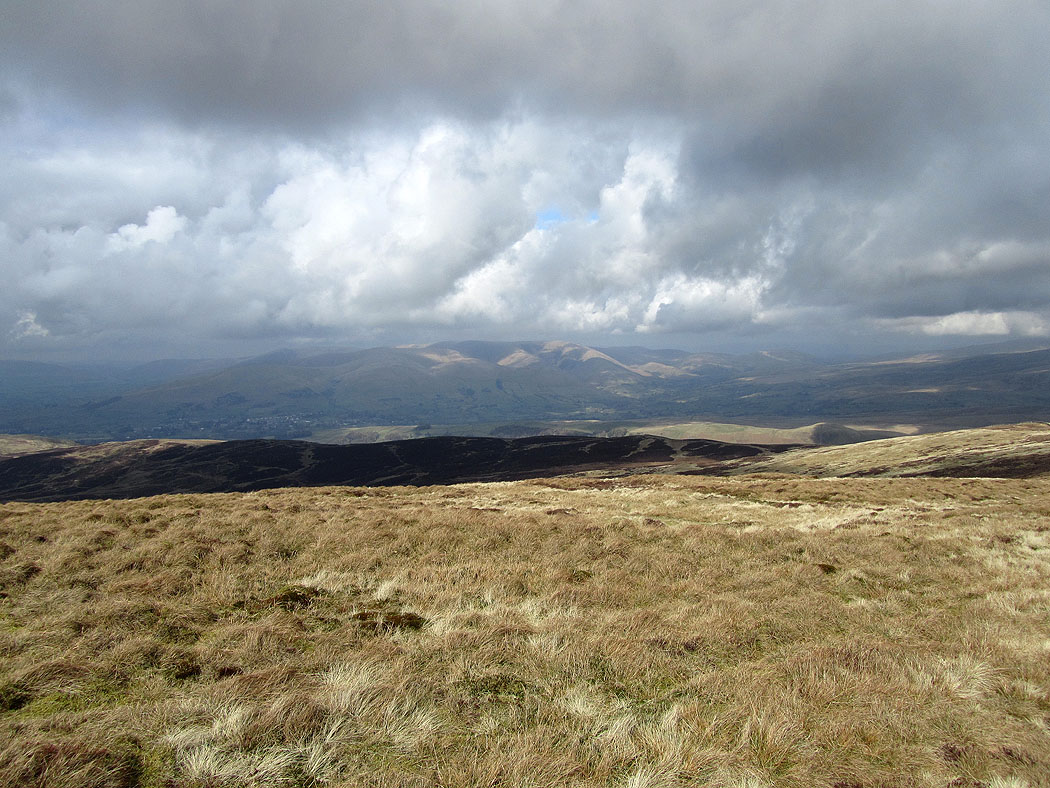
Sedbergh and the Howgills
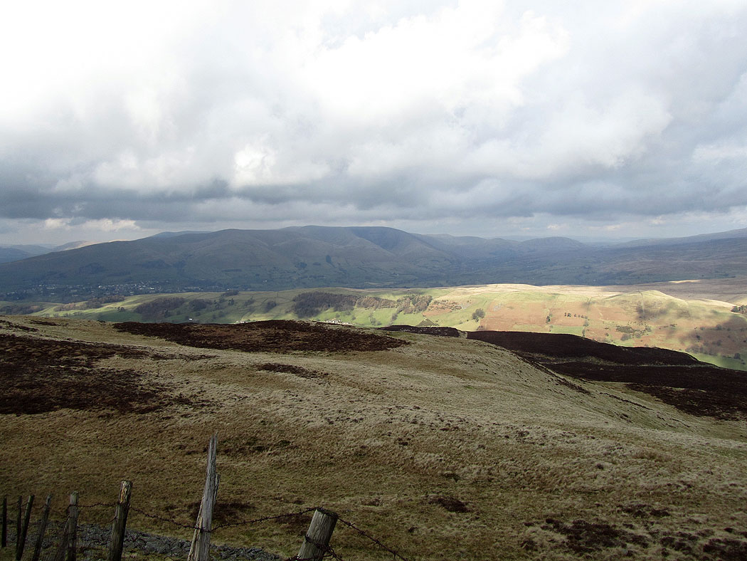
The route ahead. The Lake District fells are just about visible in the distance.
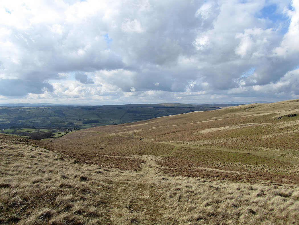
The route ahead follows a track back down to the valley
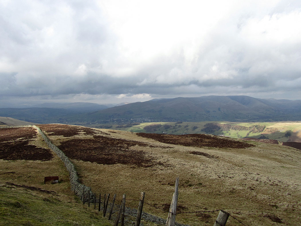
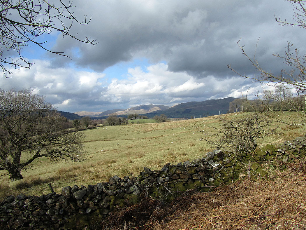
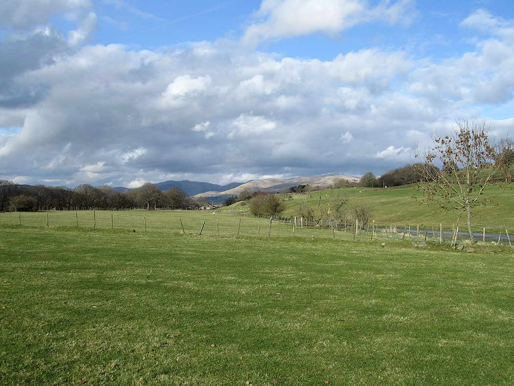
On the way back to Barbon. Howgill fells in the distance.
Another view of the Howgills
The Howgills
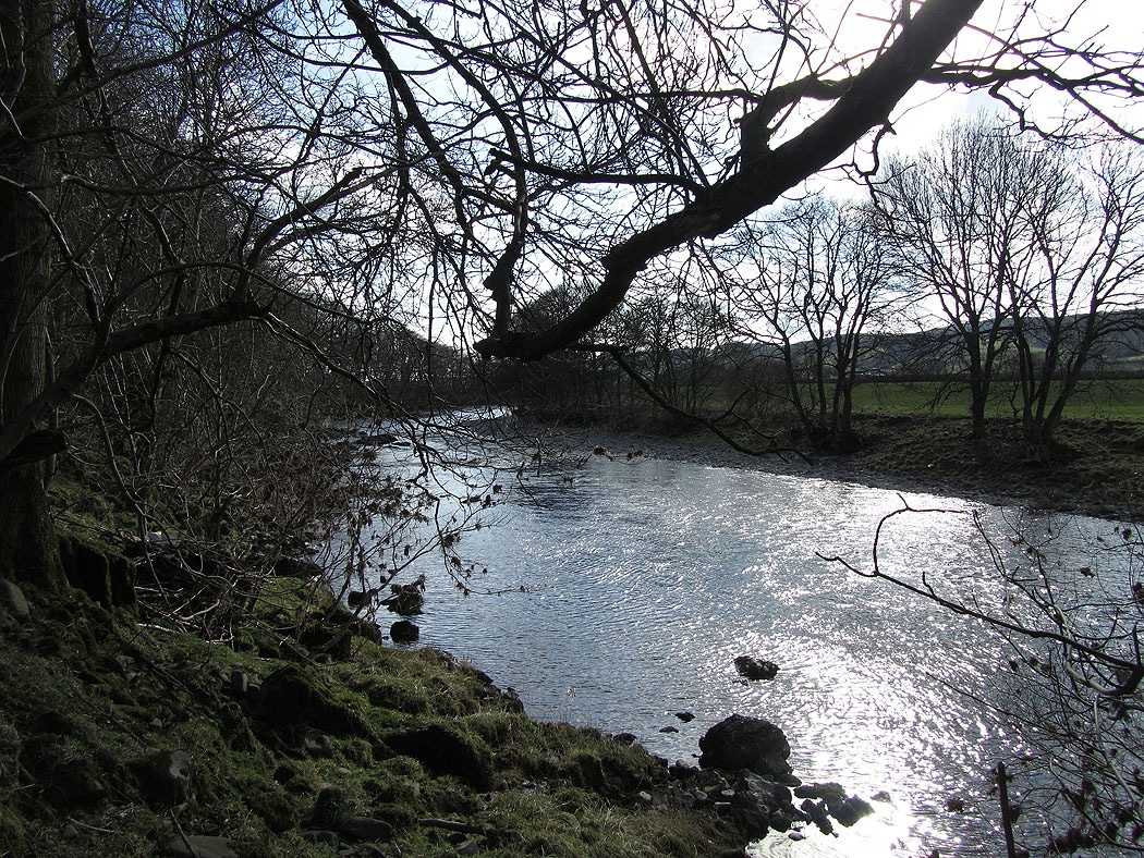
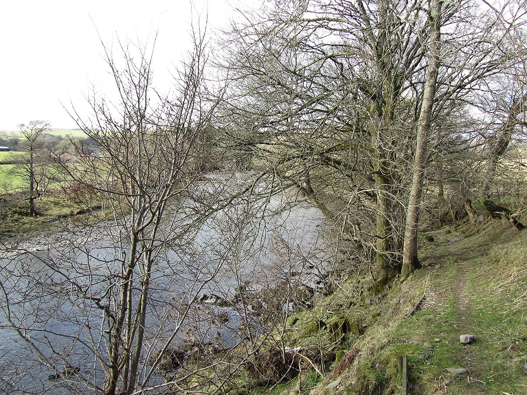
My route takes me alongside the River Lune for a short stretch..
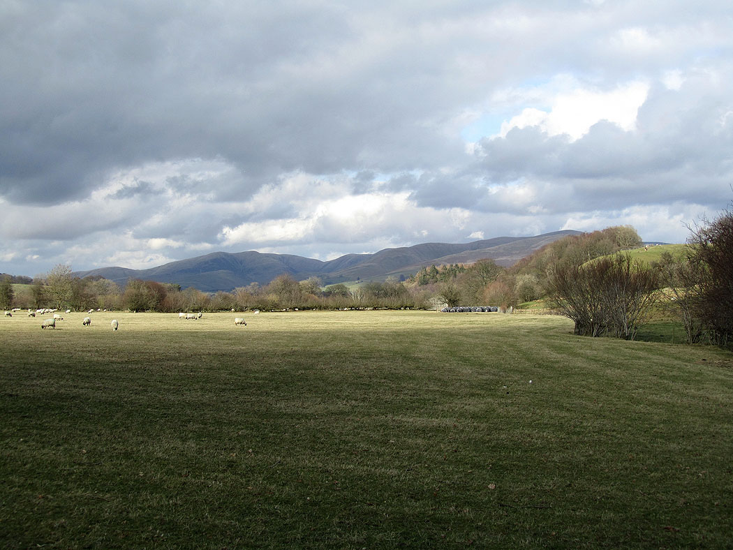
The Howgills in the distance
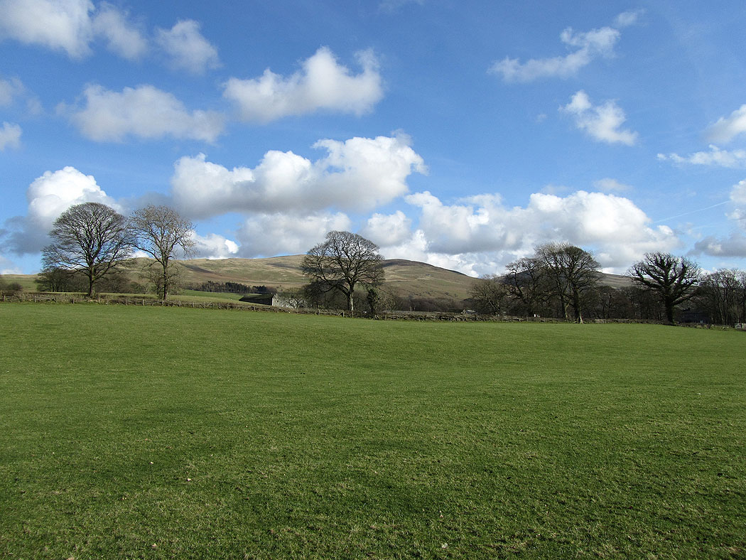
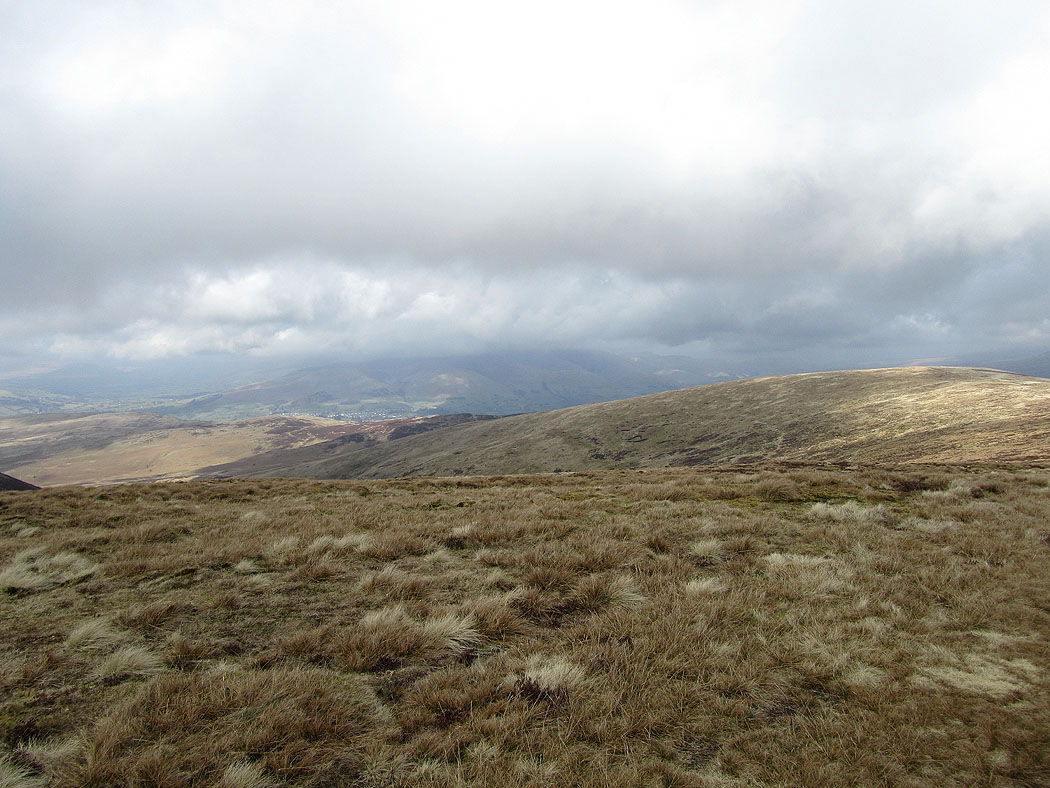
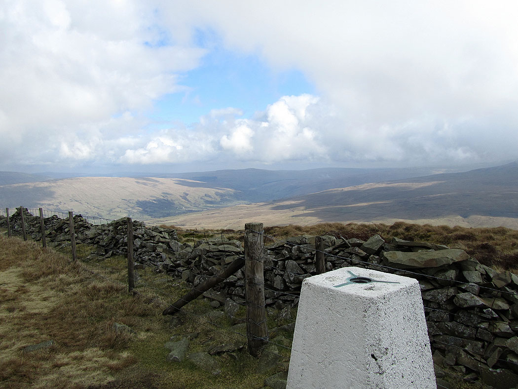
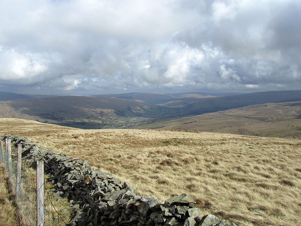
Middleton Fell
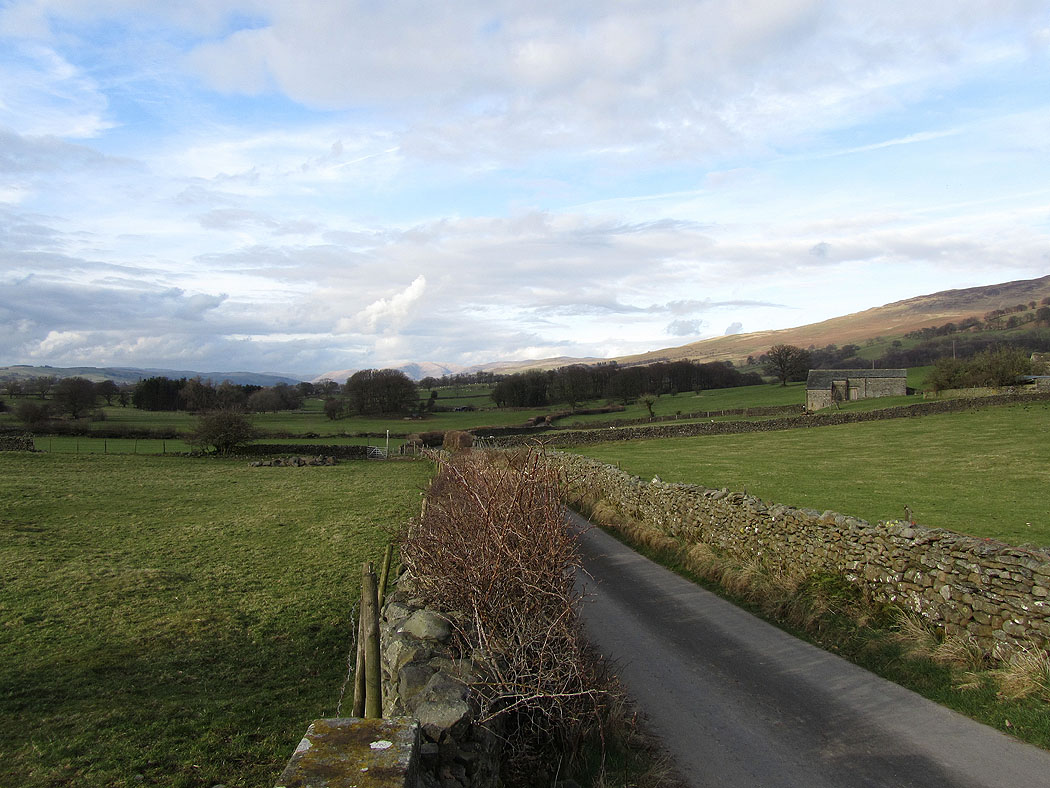
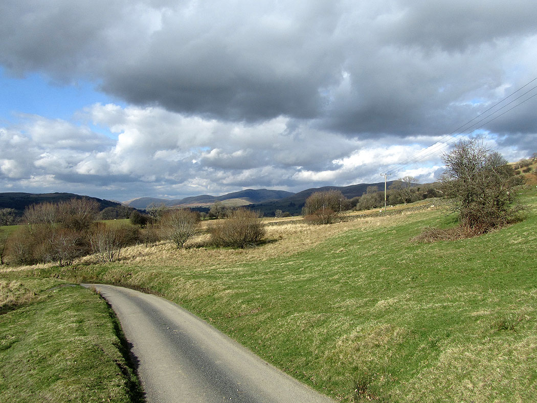
Looking back as I head back to Barbon on quiet country lanes
Middleton Fell
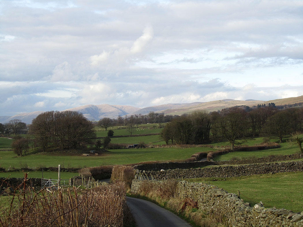
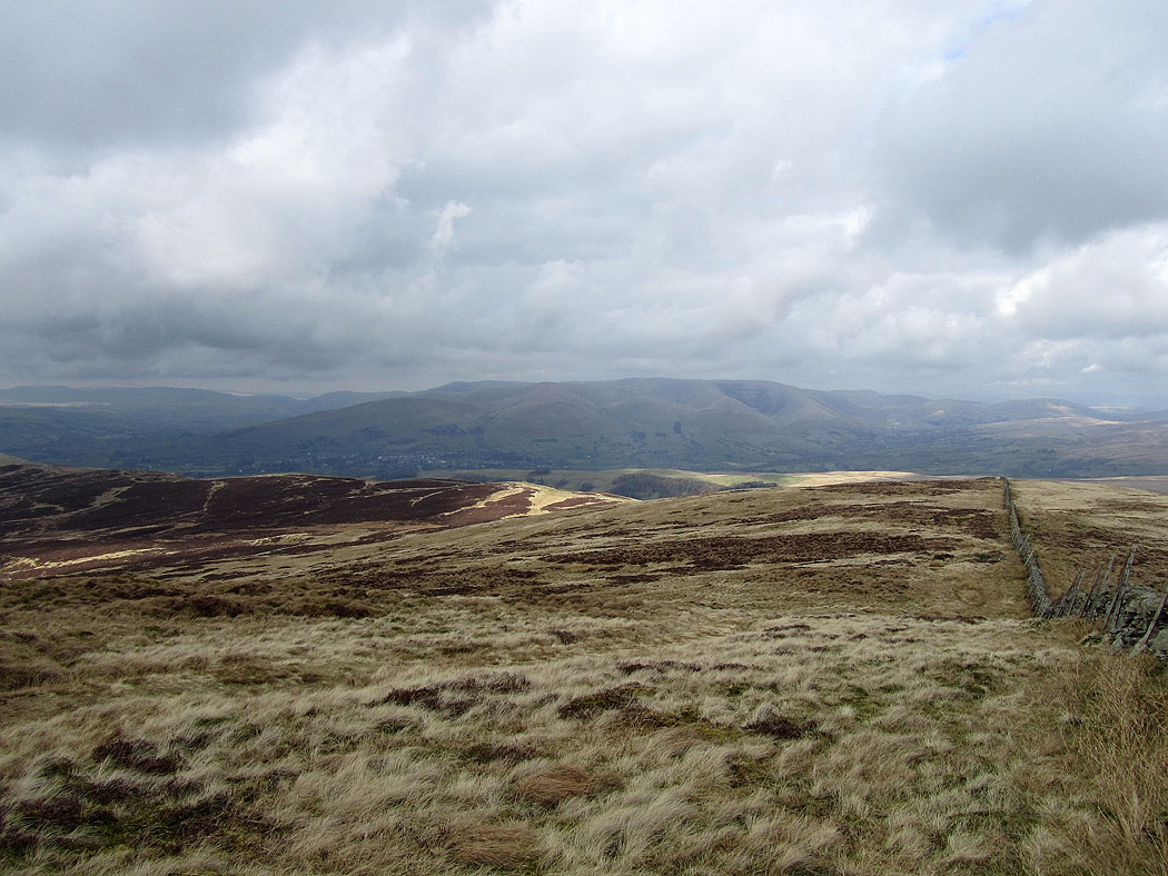
Almost back in Barbon with the Howgills in the distance
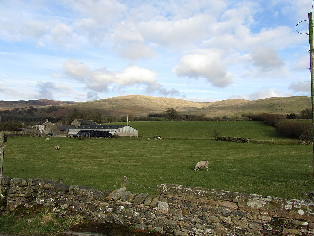
Back in Barbon. The start of the walk was up the first hill on the right.