19th March 2022 - Whernside
Walk Details
Distance walked: 12.0 miles
Total ascent: 2305 ft
OS map used: OL2 - Yorkshire Dales, Southern and Western areas
Time taken: 6.5 hrs
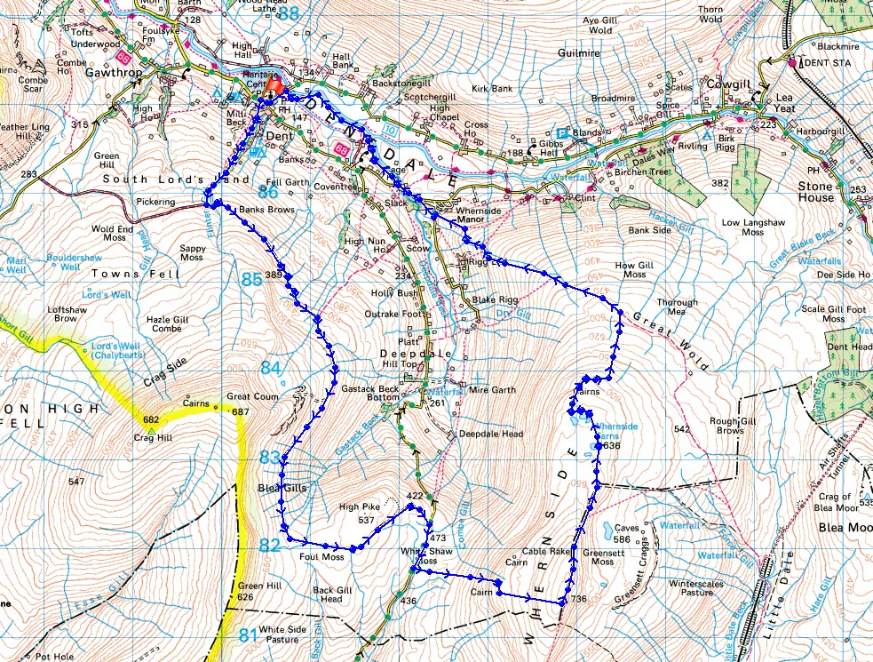
Route description: Dent-Flinter Gill-Green Lane-High Moss-Kingsdale to Deepdale road-Whernside-Whernside Tarns-Dales High Way-Dyke Hall Lane-Mill Bridge-Dales Way-Church Bridge-Dent
I'm back in Dent again just two weeks after my last visit to do the other route that I had in mind from that day, Whernside. My last visit to this one of the Yorkshire Three Peaks was in July 2020, and by this route was in 2017, which I think is my favourite way of getting there. Starting from Dent means a walk that's long enough for a full day, it gives you the opportunity of taking in Dentdale and Deepdale using some great tracks and bridleways, plus there's the added bonus of visiting Whernside Tarns and the cairns that sit on the northern shoulder of the fell, which have a great view of Dentdale. I chose Aye Gill Pike instead of Whernside two weeks ago because of the strength of the wind and deciding to leave the higher fell for another day. Ironically it's stronger today, though only on Whernside's summit ridge was it uncomfortable for walking in. Apart from that it was a lovely spring day with lots of blue skies and sunshine, though a bit of a haze did spoil the long distance views.
From the car park in Dent I crossed the road and walked up the lane opposite to its top and onto the bridleway up Flinter Gill. When this reached a junction of bridleways I turned left and took the track of Green Lane signposted for High Moss. I followed this east and then south across the hillside above Deepdale to where it meets the Deepdale to Kingsdale Road (I stopped for lunch by this bridleway just before it reached the road). After a short walk down the road towards Kingsdale I crossed a stile on the left by a fence to pick up the path to the top of Whernside. I continued by taking the path north along the summit ridge to the point where it starts to descend towards Ribblehead. This was my cue to leave it and cross the stile on my left and head for Whernside Tarns. I made my way around the tarns and then went to the cairns on the edge of fell overlooking Deepdale and Dentdale. They have a great view. Having taken it in I made my way down by a line of grouse butts and a wall to reach the trail of the Dales High Way. I followed this west down to Dyke Hall Lane in Dentdale and after walking down this road I reached Mill Bridge. From here the trail of the Dales Way took me west to Church Bridge over the River Dee, where I was left with a short walk up into the village.
Total ascent: 2305 ft
OS map used: OL2 - Yorkshire Dales, Southern and Western areas
Time taken: 6.5 hrs
Route description: Dent-Flinter Gill-Green Lane-High Moss-Kingsdale to Deepdale road-Whernside-Whernside Tarns-Dales High Way-Dyke Hall Lane-Mill Bridge-Dales Way-Church Bridge-Dent
I'm back in Dent again just two weeks after my last visit to do the other route that I had in mind from that day, Whernside. My last visit to this one of the Yorkshire Three Peaks was in July 2020, and by this route was in 2017, which I think is my favourite way of getting there. Starting from Dent means a walk that's long enough for a full day, it gives you the opportunity of taking in Dentdale and Deepdale using some great tracks and bridleways, plus there's the added bonus of visiting Whernside Tarns and the cairns that sit on the northern shoulder of the fell, which have a great view of Dentdale. I chose Aye Gill Pike instead of Whernside two weeks ago because of the strength of the wind and deciding to leave the higher fell for another day. Ironically it's stronger today, though only on Whernside's summit ridge was it uncomfortable for walking in. Apart from that it was a lovely spring day with lots of blue skies and sunshine, though a bit of a haze did spoil the long distance views.
From the car park in Dent I crossed the road and walked up the lane opposite to its top and onto the bridleway up Flinter Gill. When this reached a junction of bridleways I turned left and took the track of Green Lane signposted for High Moss. I followed this east and then south across the hillside above Deepdale to where it meets the Deepdale to Kingsdale Road (I stopped for lunch by this bridleway just before it reached the road). After a short walk down the road towards Kingsdale I crossed a stile on the left by a fence to pick up the path to the top of Whernside. I continued by taking the path north along the summit ridge to the point where it starts to descend towards Ribblehead. This was my cue to leave it and cross the stile on my left and head for Whernside Tarns. I made my way around the tarns and then went to the cairns on the edge of fell overlooking Deepdale and Dentdale. They have a great view. Having taken it in I made my way down by a line of grouse butts and a wall to reach the trail of the Dales High Way. I followed this west down to Dyke Hall Lane in Dentdale and after walking down this road I reached Mill Bridge. From here the trail of the Dales Way took me west to Church Bridge over the River Dee, where I was left with a short walk up into the village.
Route map
© Crown copyright. All rights reserved. License number PU 100034184.
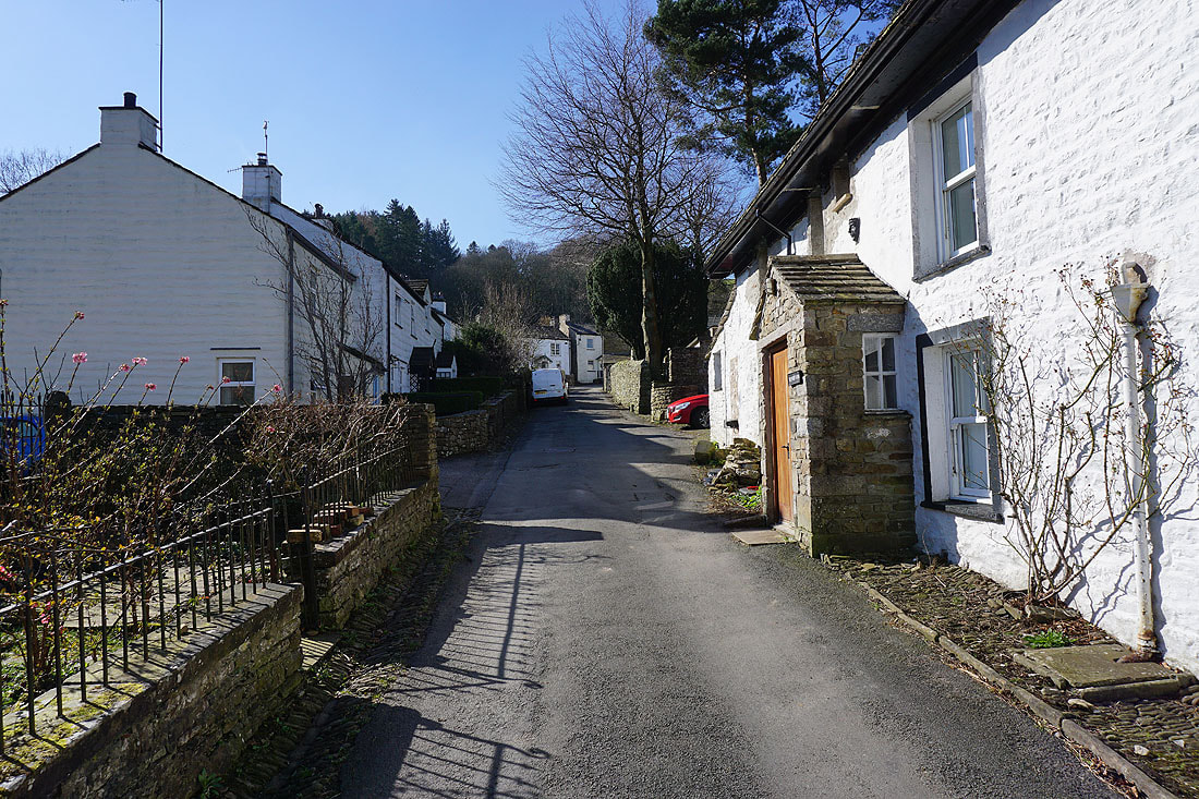
Leaving Dent by walking up Dragon Croft..
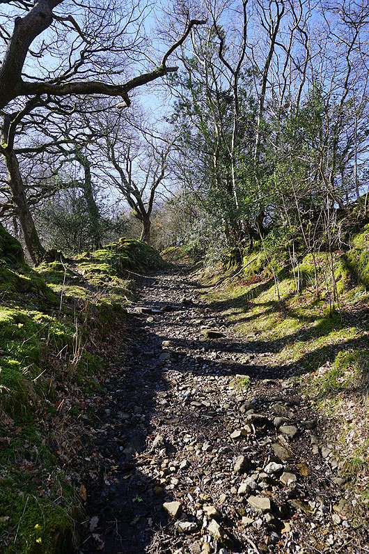
..and then the bridleway by Flinter Gill
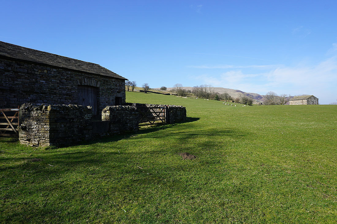
Barns and blue skies
There's a view indicator on the hillside near the top of the bridleway. A short detour to take it in. Looking up Dentdale to Great Knoutberry Hill.
across to Aye Gill Pike
and down Dentdale to the Howgills
The Howgills as I join the track of Green Lane
Looking west along Green Lane to Middleton Fell
The Howgills as Green Lane crosses Flinter Gill
Looking across Dentdale to Aye Gill Pike
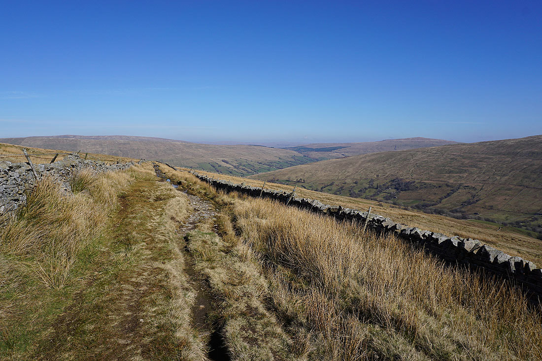
Great views of Dentdale and its surrounding fells as I walk east along the track of Green Lane....
Aye Gill Pike, Dentdale and Great Knoutberry Hill from the top of the Nun House Outrake bridleway
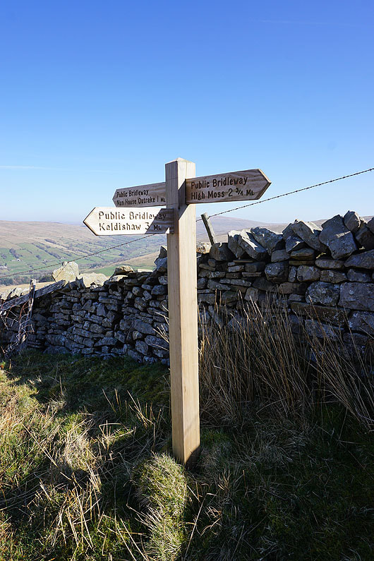
I take a right turn for the bridleway to High Moss
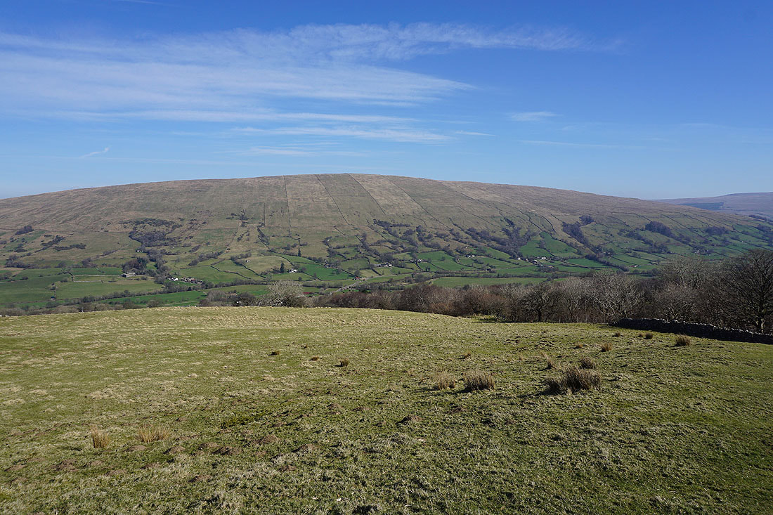
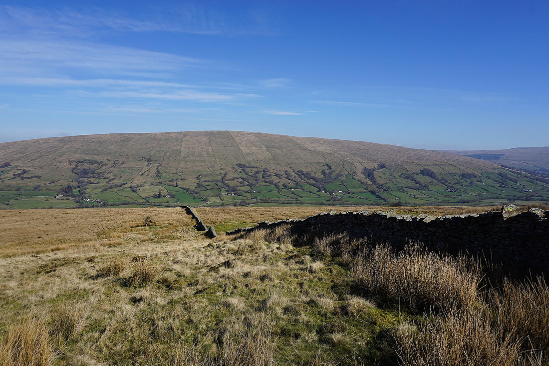
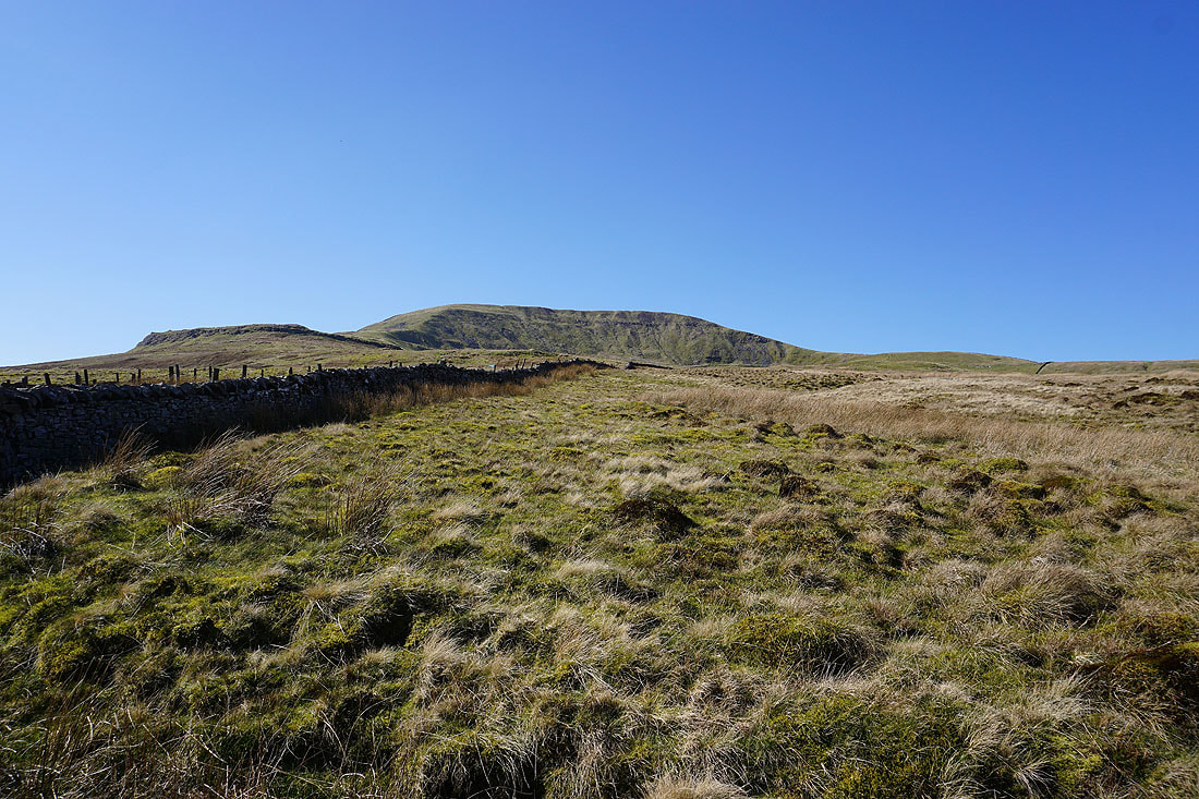
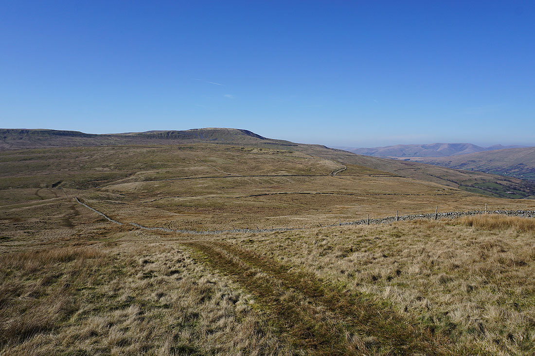
Great Knoutberry Hill behind the northern shoulder of Whernside
A last look back to the Howgills before they disappear from view for a while
The Great Combe of Great Coum above me
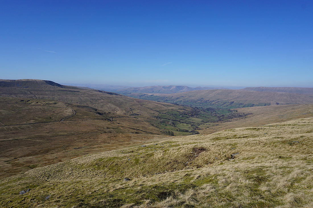
Deepdale, Dentdale, Aye Gill Pike and Great Knoutberry Hill
Green Hill in front of me..
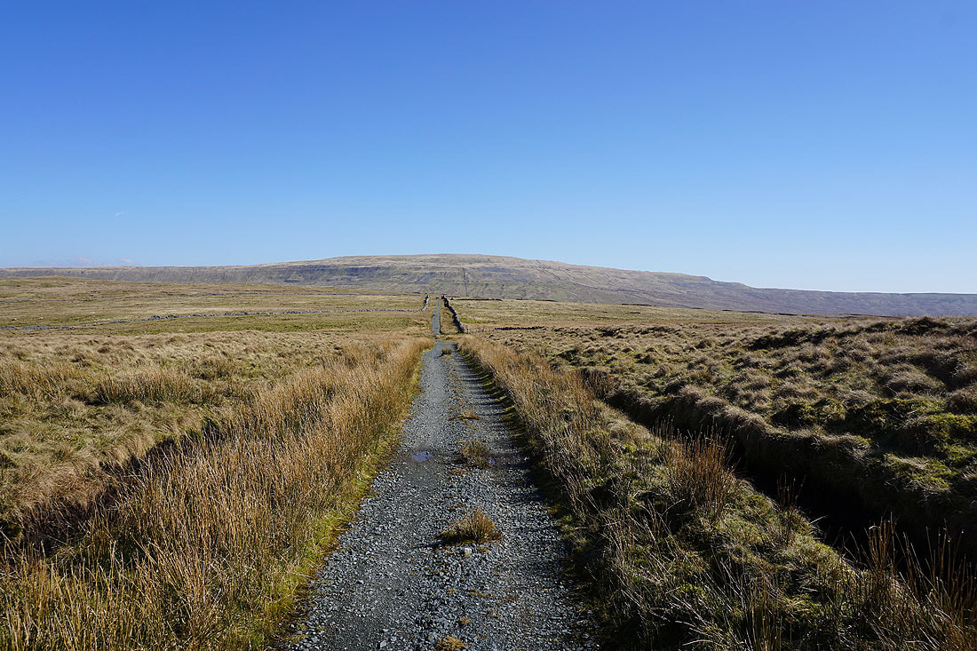
..and then Whernside ahead as the bridleway crosses Foul Moss
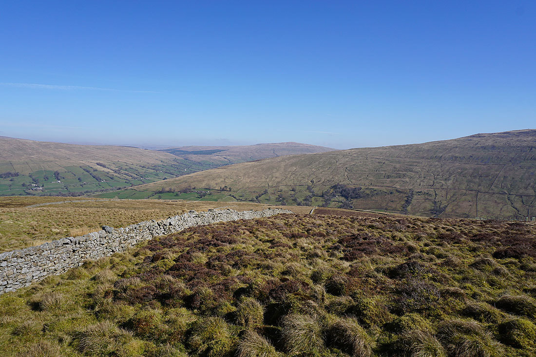
Looking south across Foul Moss with Ingleborough on the left
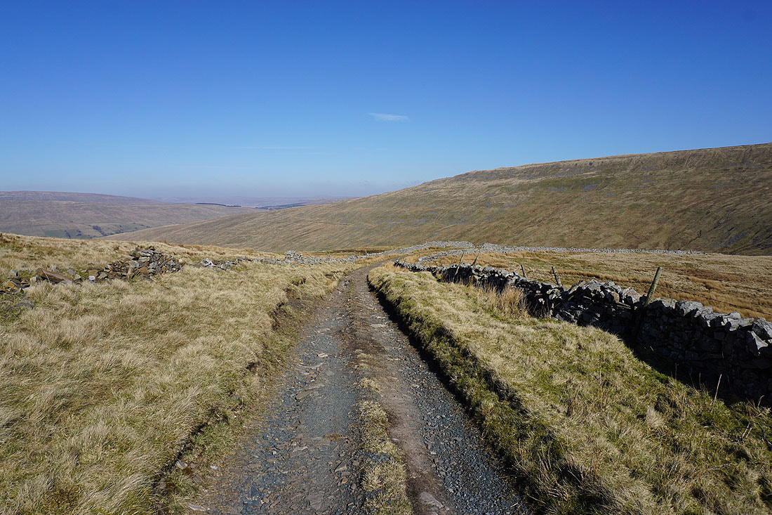
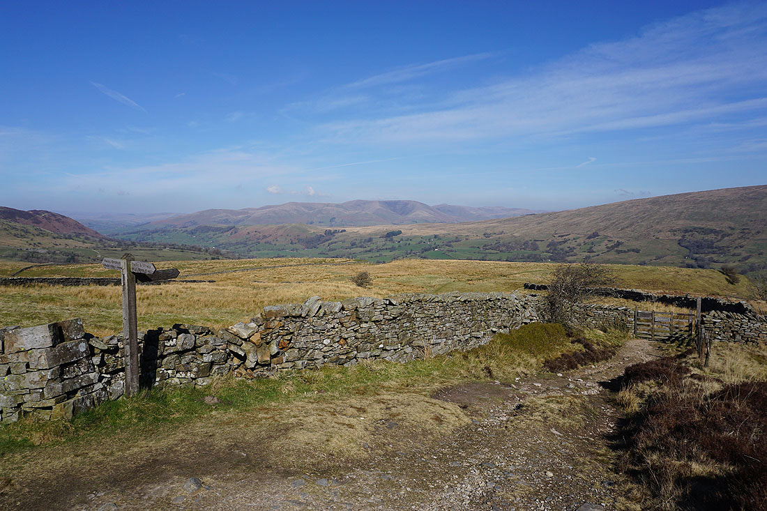
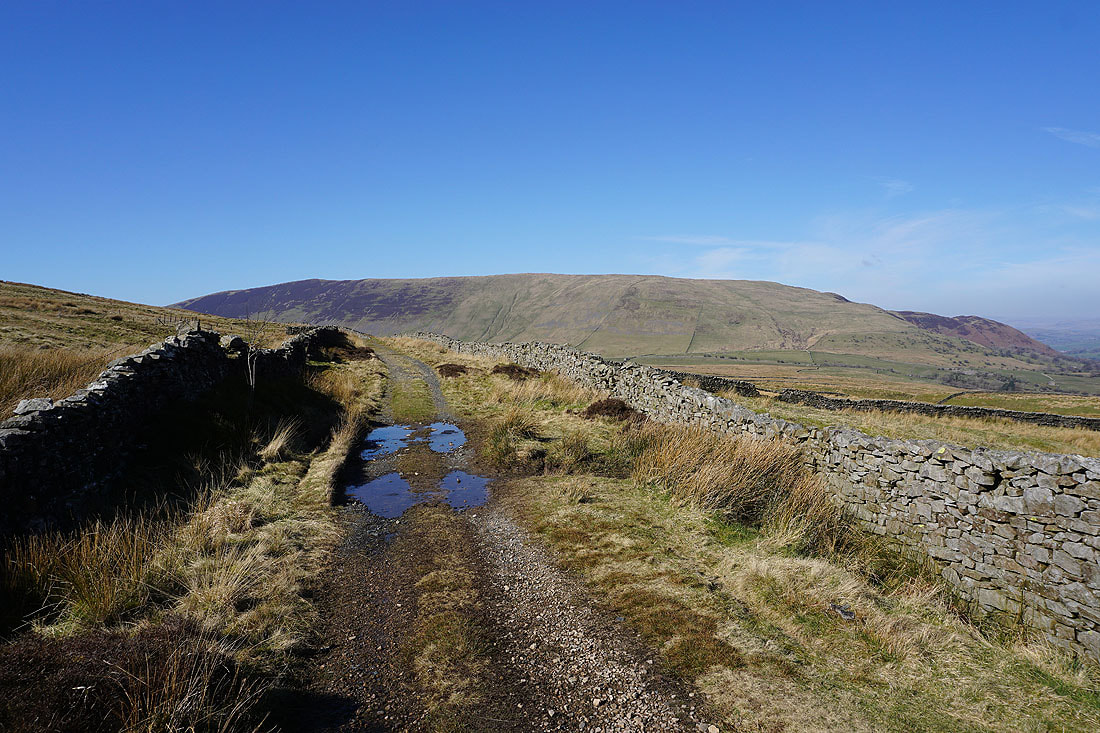
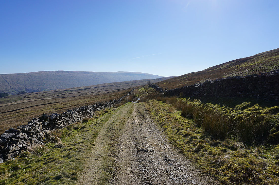
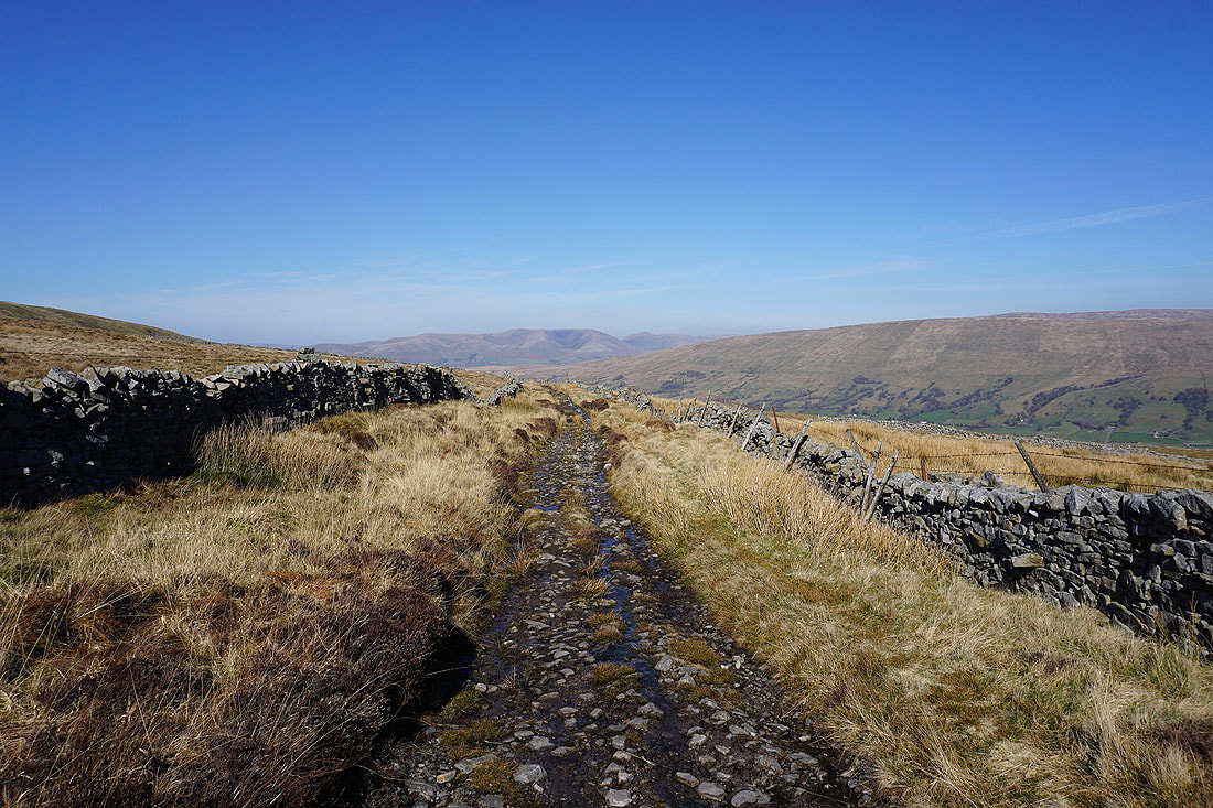
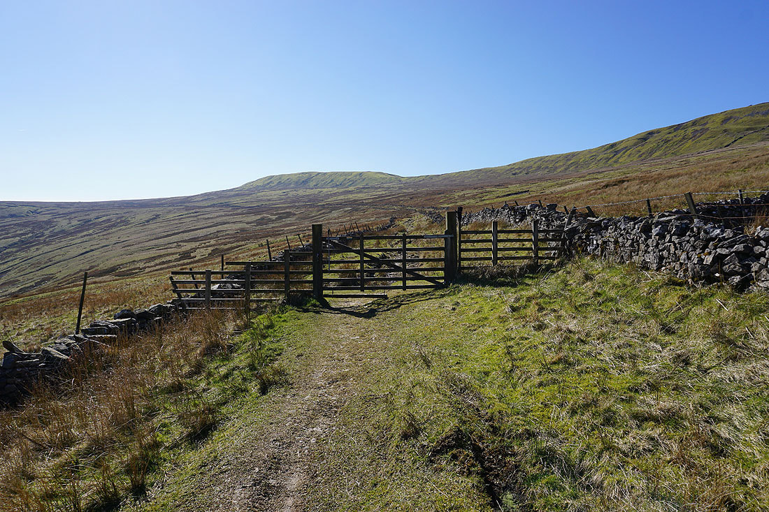
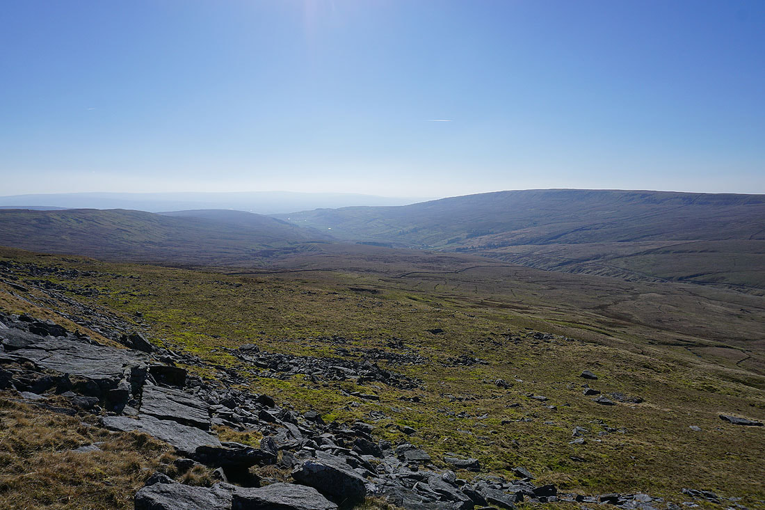
Following the bridleway down to High Moss and the Kingsdale to Deepdale road..
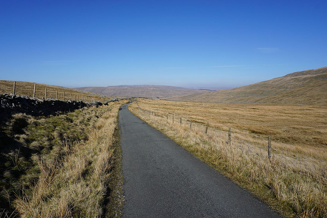
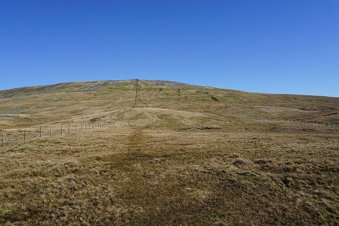
Having crossed the road, I start the ascent of Whernside
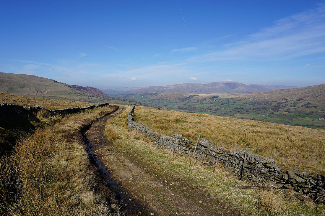
Great Coum, Deepdale, the Howgills, Dentdale and Aye Gill Pike..
Kingsdale with Gragareth on its right and the Forest of Bowland in the distance
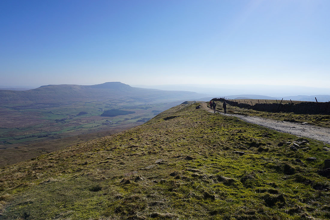
Ingleborough from the summit of Whernside. To say that it's windy up here would be a bit of an understatement.
Looking southeast to Penyghent and Ribblehead
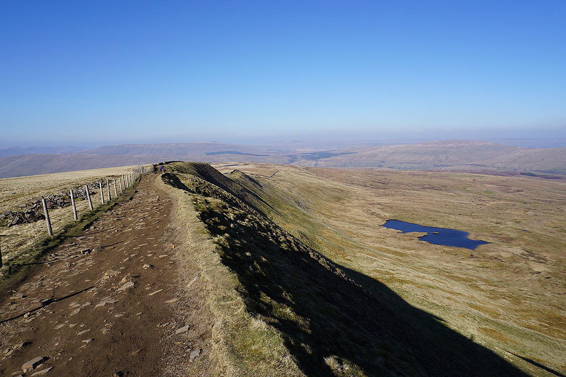
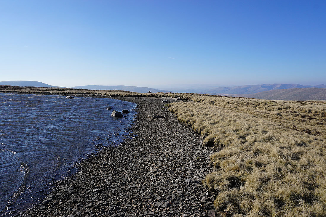
Heading north along Whernside's summit ridge with Greensett Tarn below
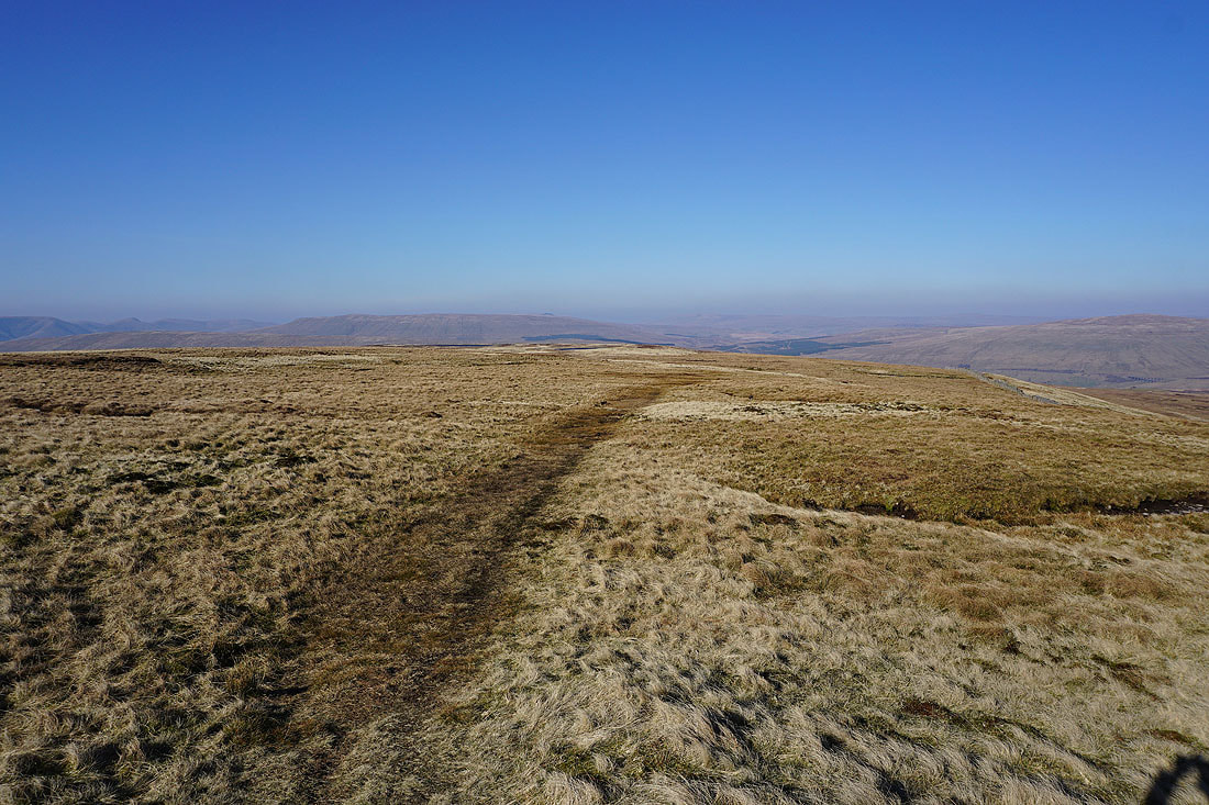
Leaving the path to Little Dale and Ribblehead I cross the moor to Whernside Tarns..
Looking back to the summit of Whernside
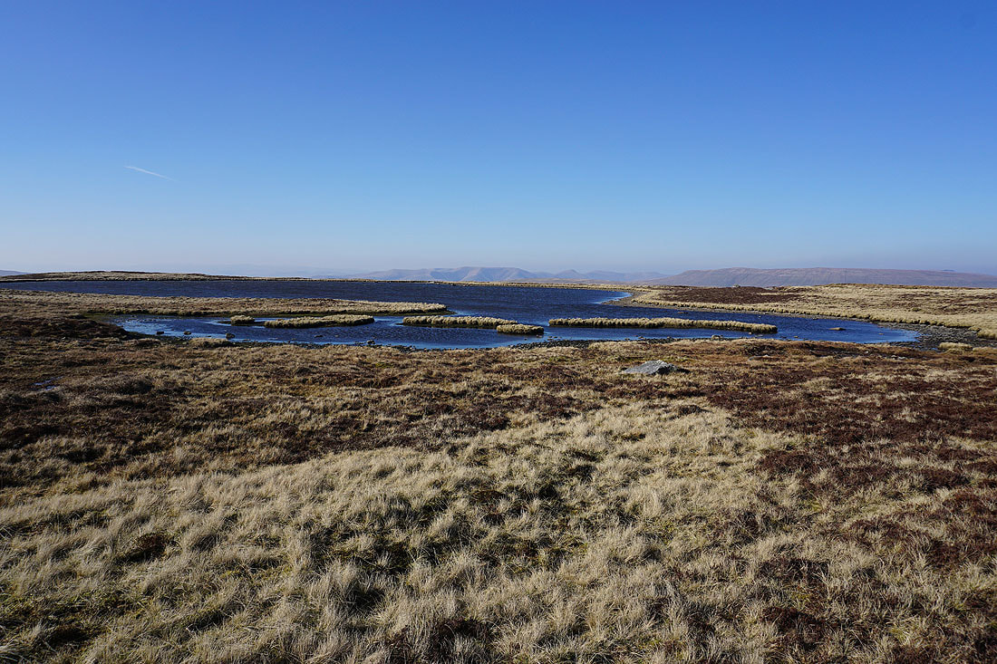
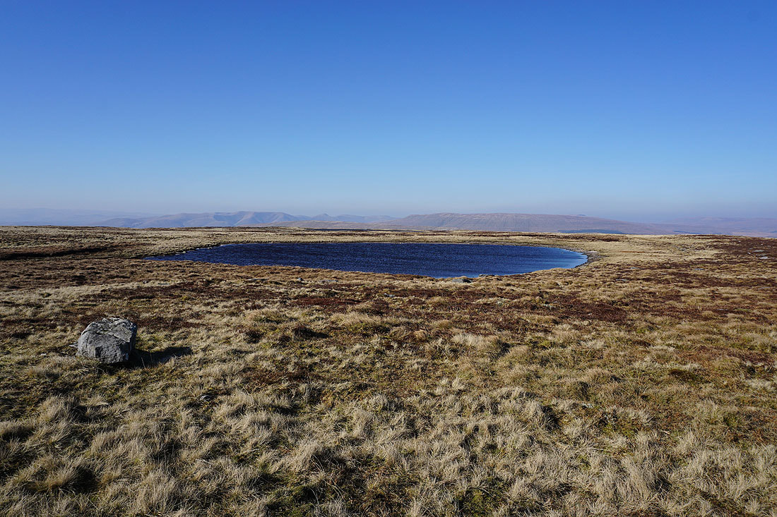
By the largest of the Whernside Tarns, with the Howgills and Baugh Fell in the background
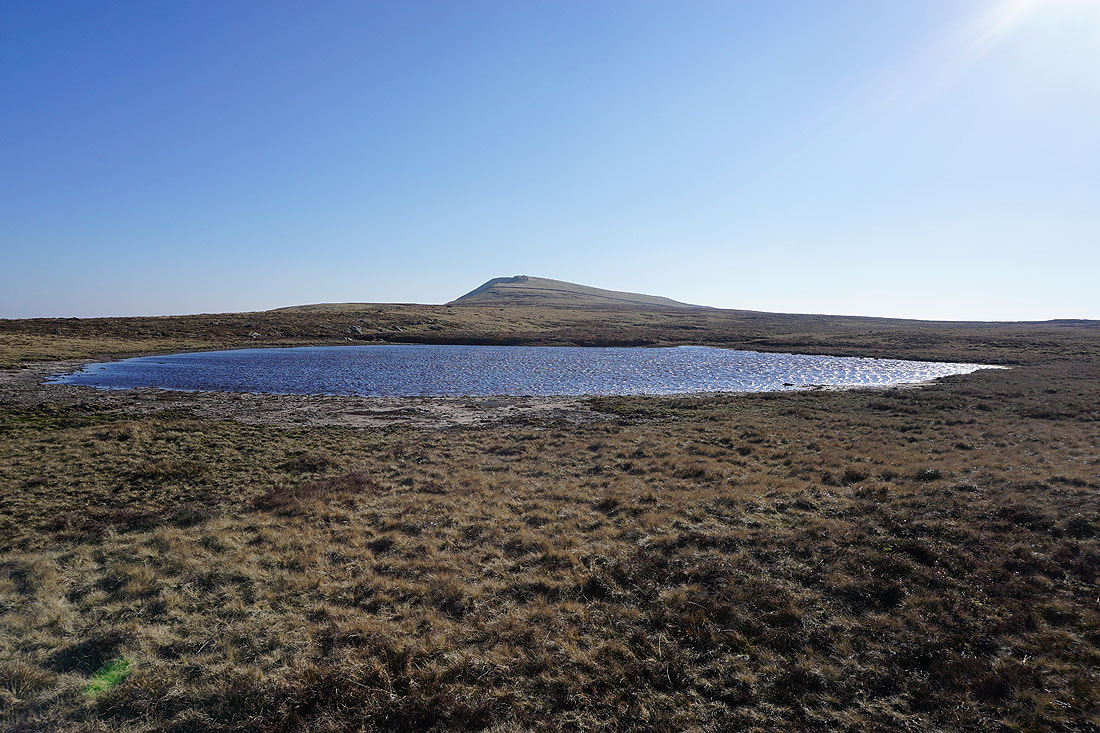
Walking along the shore of the tarn and I can see the cairn that I'm heading for
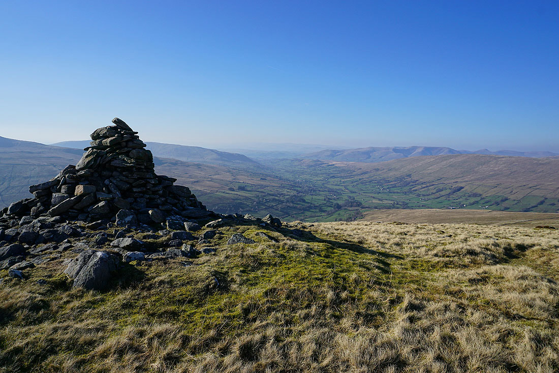
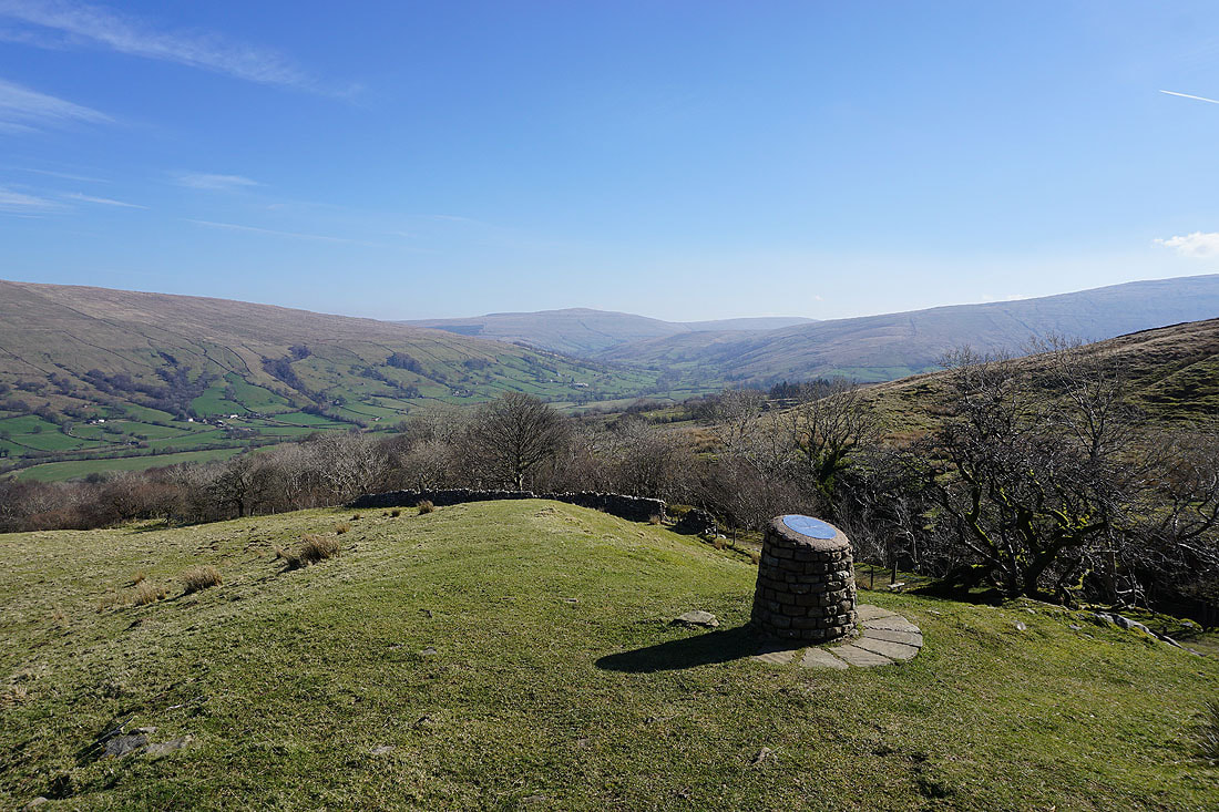
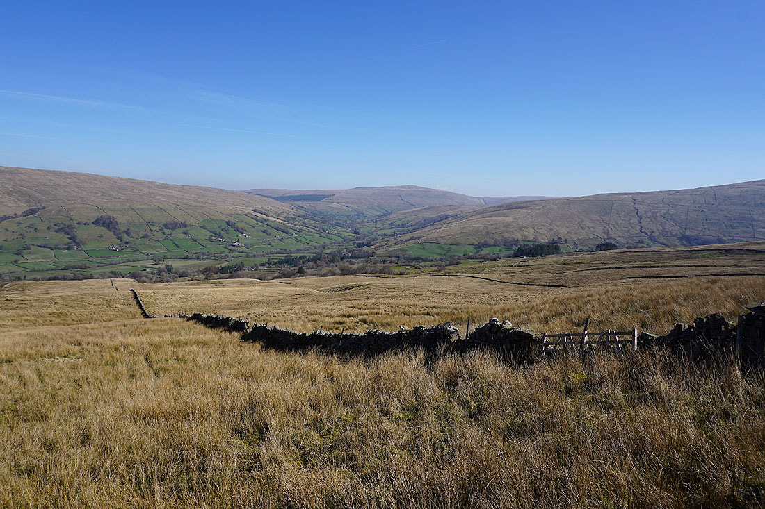
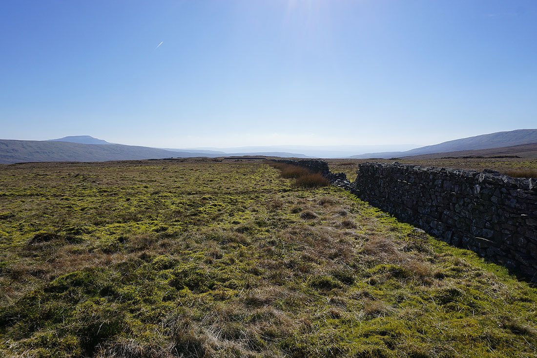
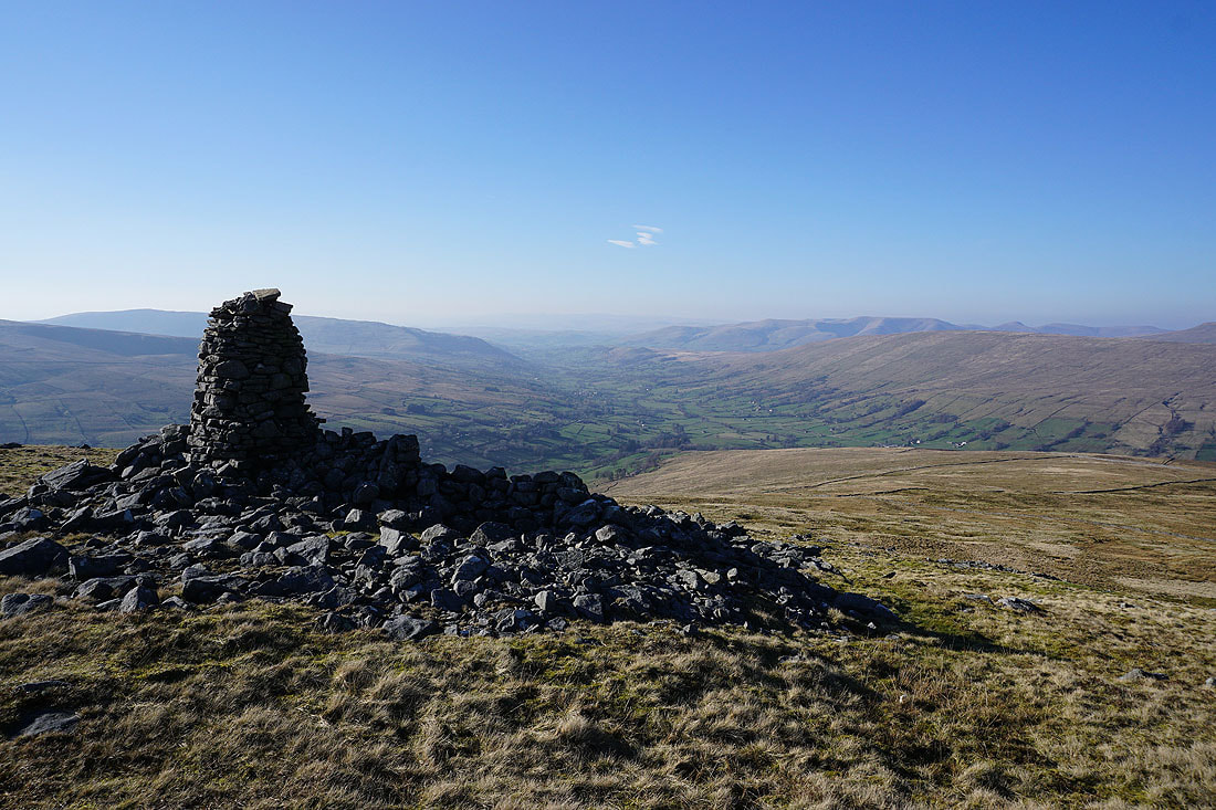
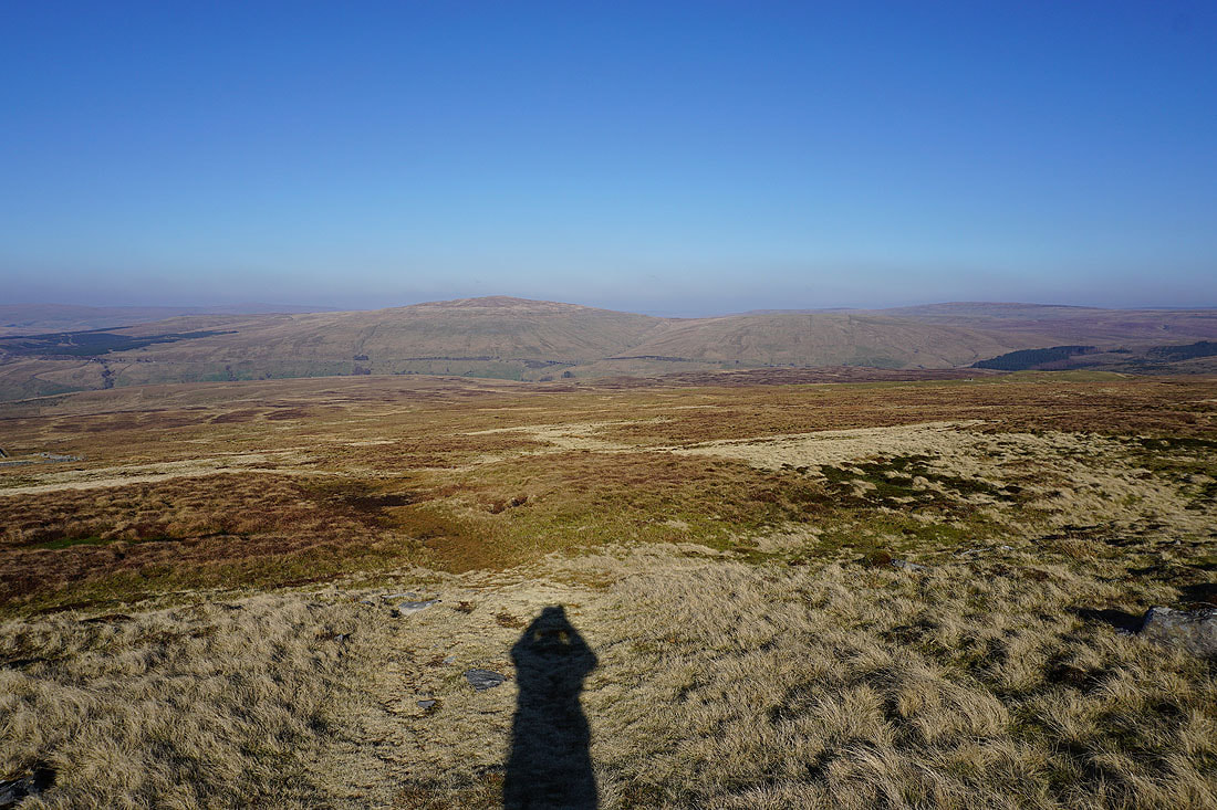
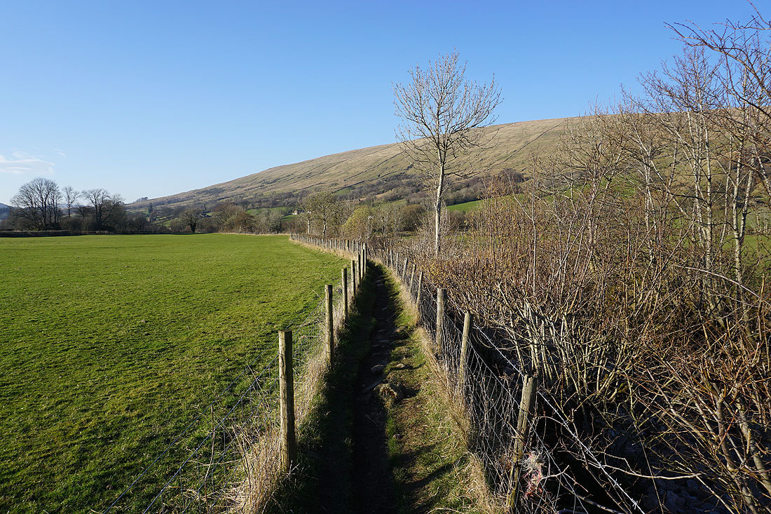
Just to the northwest of Whernside Tarns and on the edge of the fell, a couple of cairns provide a fantastic view of Deepdale, Dentdale and the Howgills..
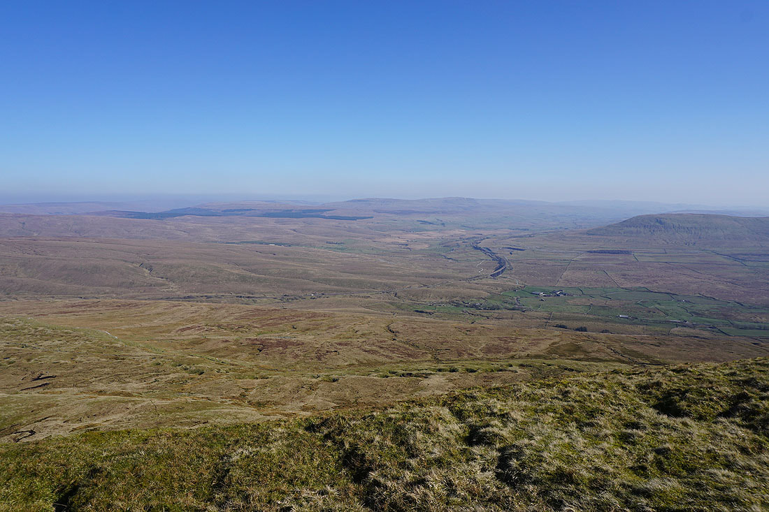
Great Knoutberry Hill, Wold Fell, and Dentdale as I head north to pick up the track of the Craven Way..
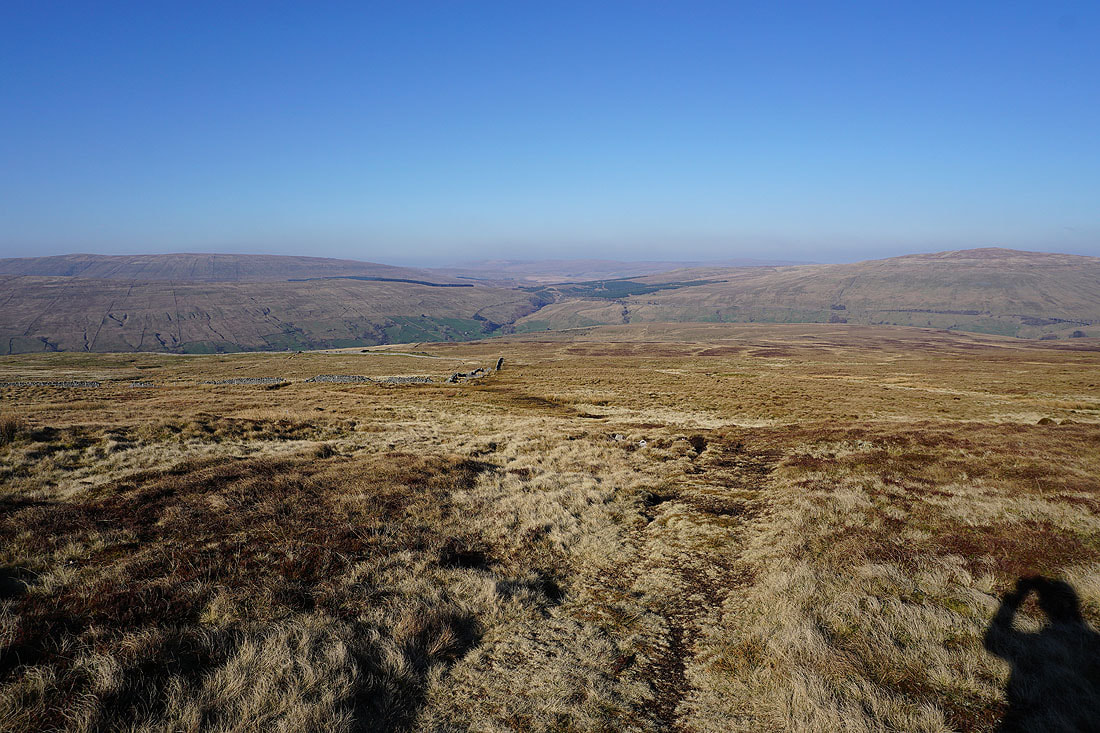
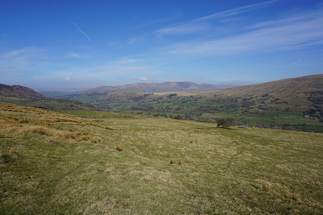
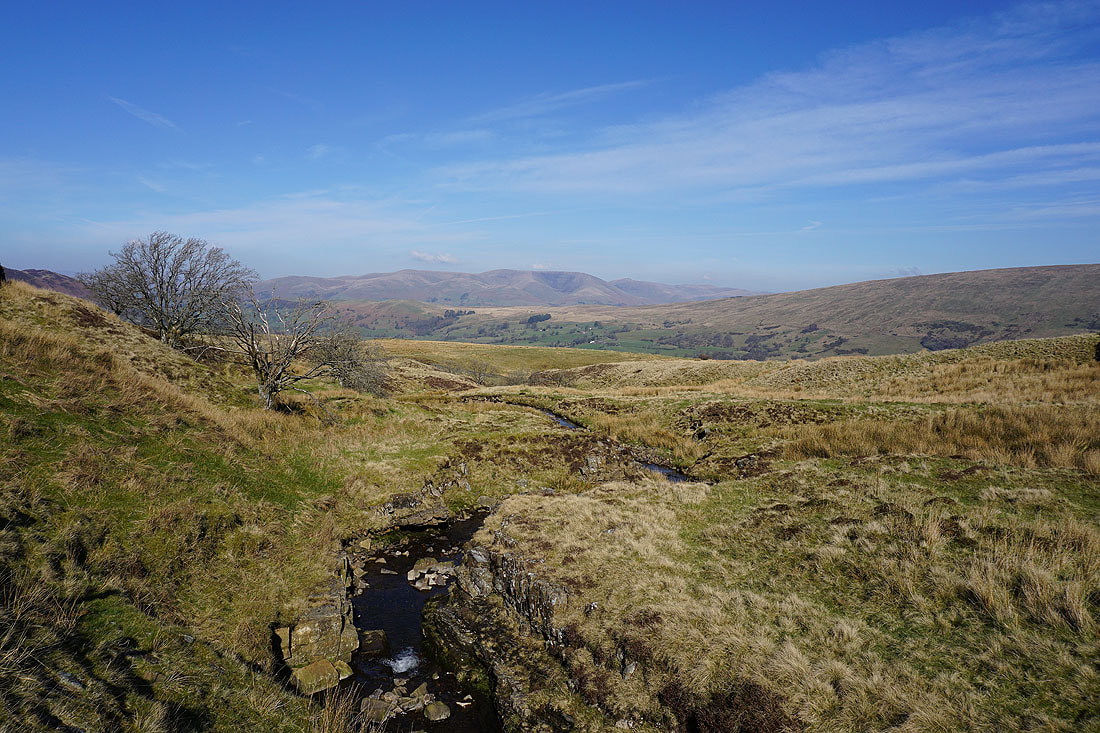
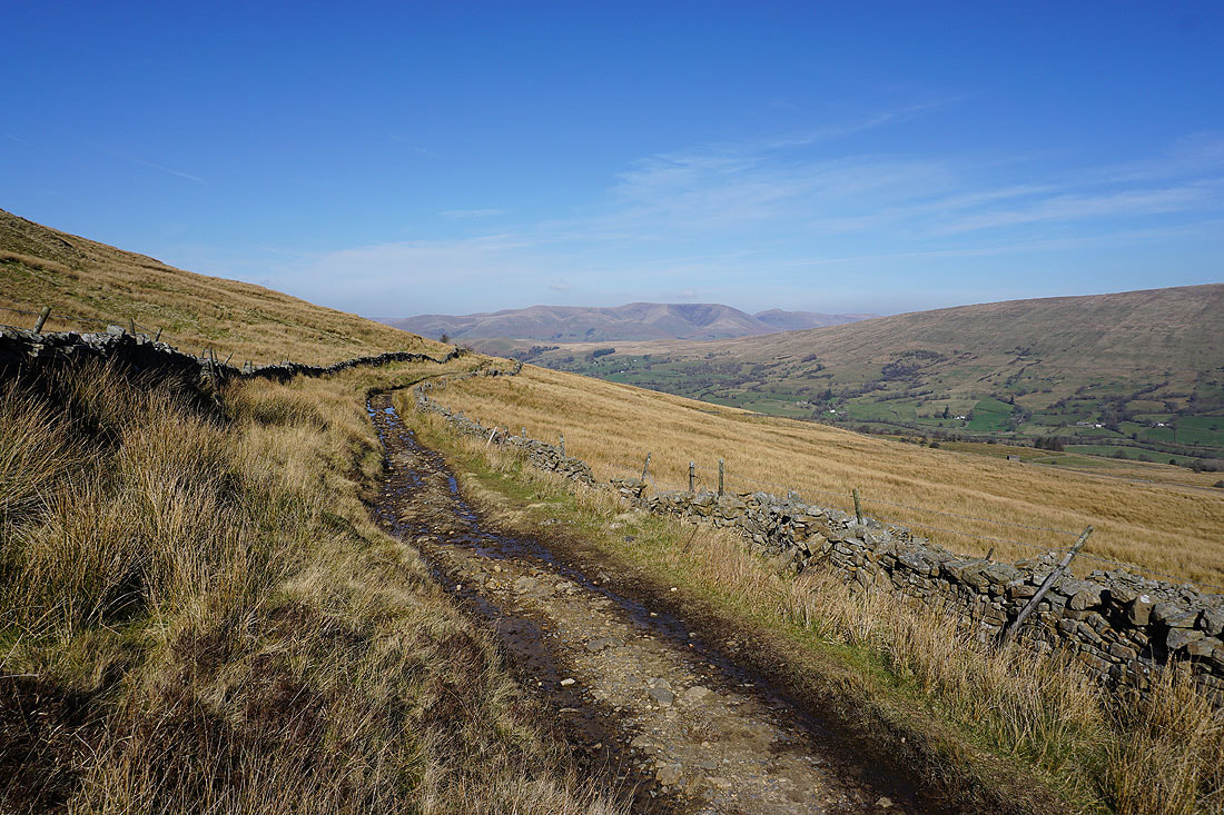
On my way back to Dentdale with lovely views of the valley..
On the Dales Way by Deepdale Beck
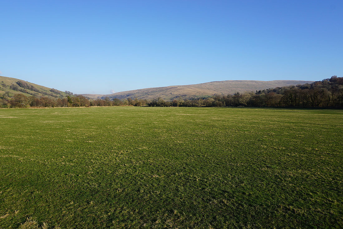
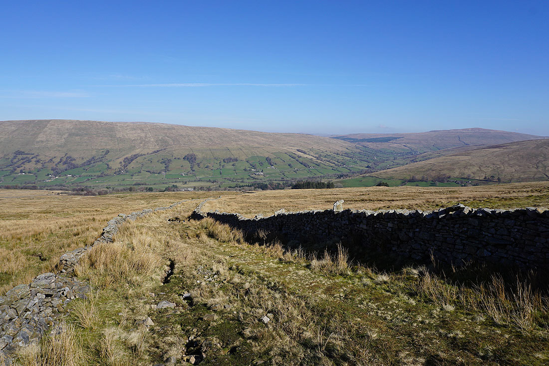
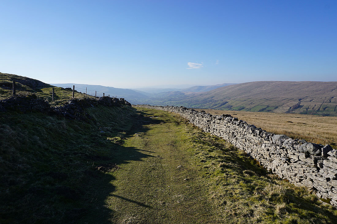
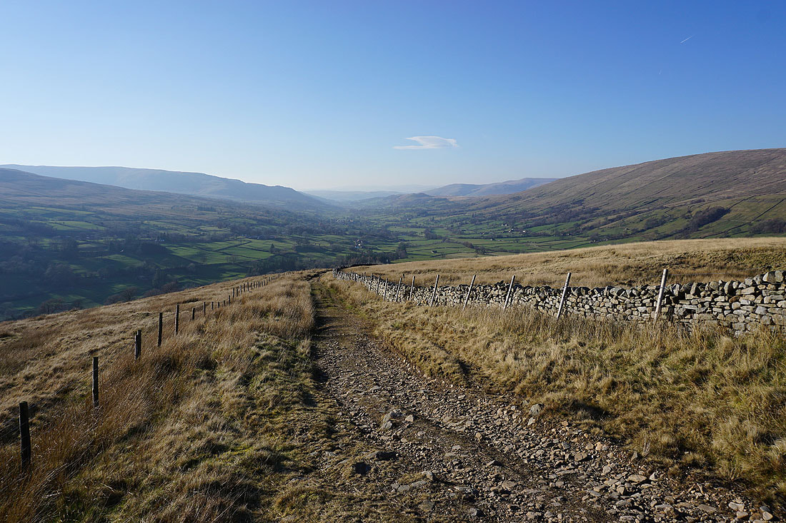
Looking back up Dentdale to the northern slopes of Whernside
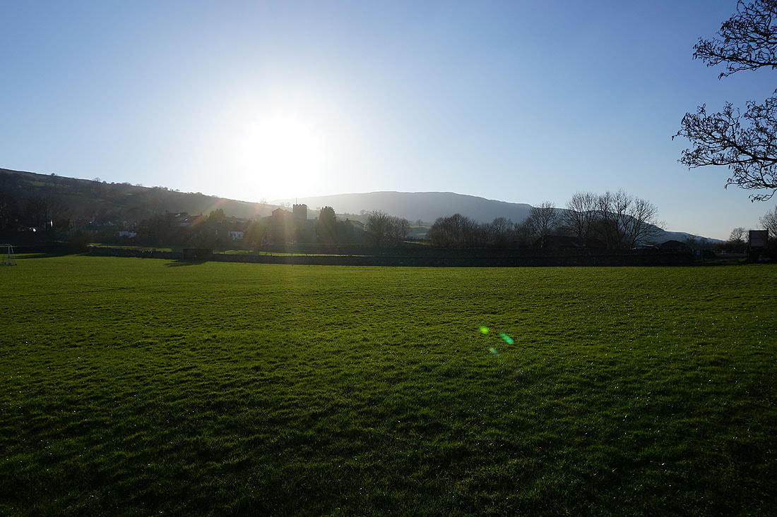
The roofs of Dent are in sight as the sun starts to set over Middleton Fell

Church Bridge and the River Dee
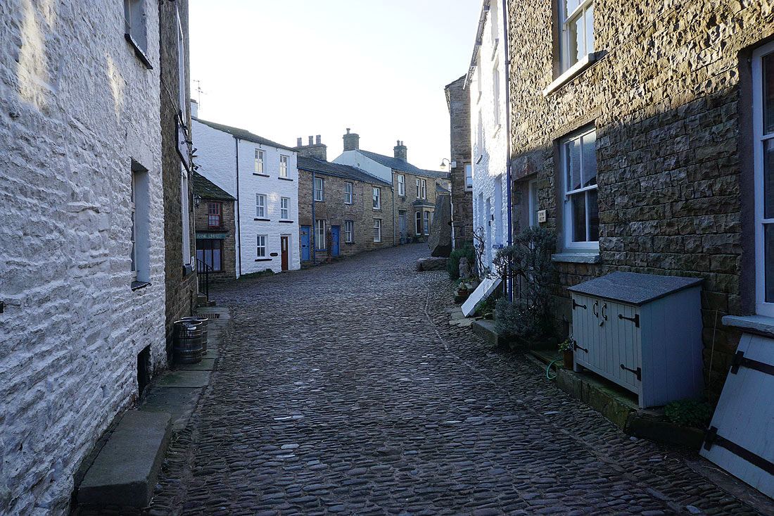
Back in Dent