19th May 2019 - Foulridge to Blacko and Weets Hill
Walk Details
Distance walked: 12.4 miles
Total ascent: 1511 ft
OS map used: OL21 - South Pennines
Time taken: 6.5 hrs
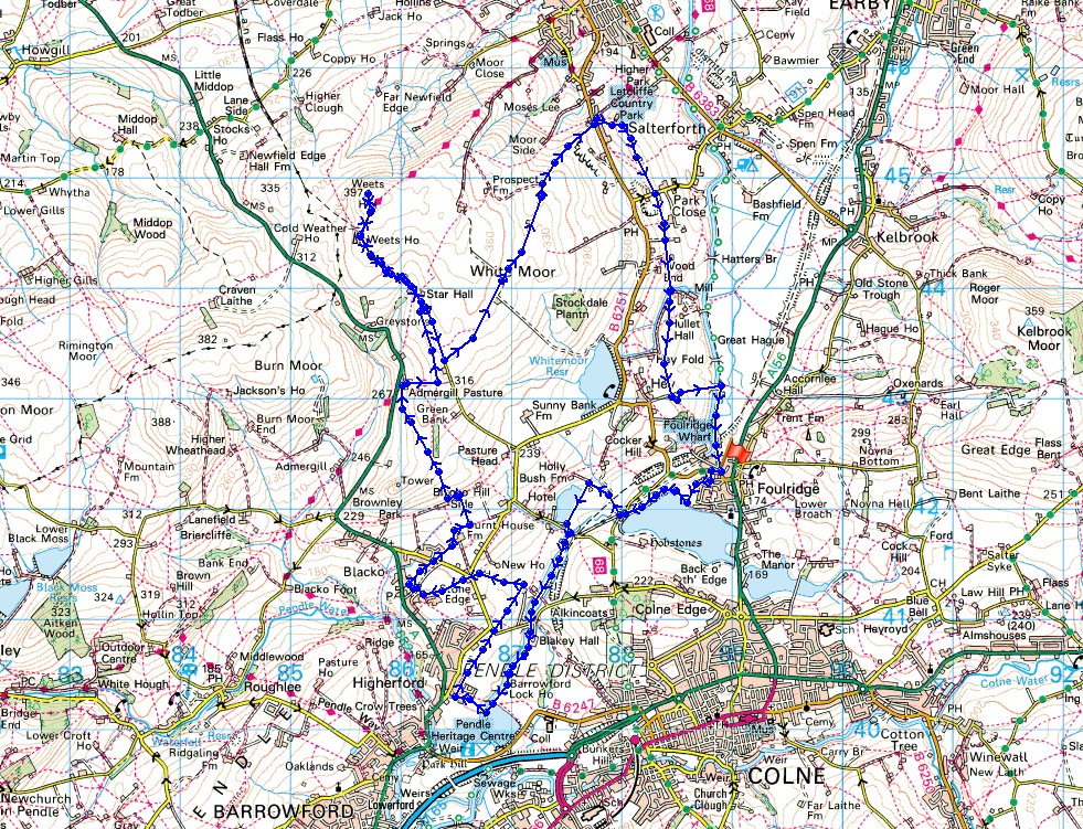
Route description: Foulridge-Foulridge Lower Reservoir-Reedymoor Lane-Sand Hall-Slipper Hill Reservoir-Slipper Hill-Leeds and Liverpool Canal-Barrowford Locks-Francis Avenue-Grange Avenue-Red Lane-Barnoldswick Road-Great Stonedge Farm-Beverley Road-Burnt House Farm-Blacko Hill Side Farm-Admergill Pasture-Pendle Way-Weets Hill-Pendle Way-Gisburn Old Road-Pennine Bridleway-Higher Lane-Dye House Farm-Moor Lane-Heather Leigh-Wood End Farm-County Brook-Hey Fold-Daubers-Daubers Bridge-Leeds and Liverpool Canal-Foulridge
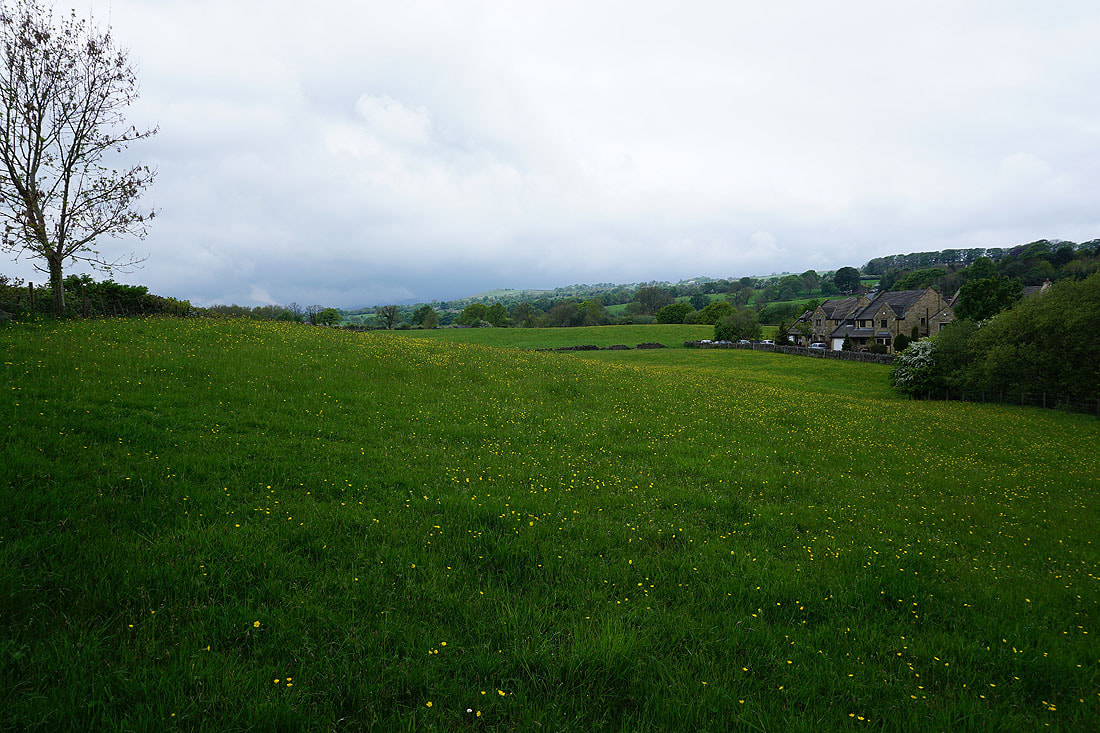
A weekend of indifferent weather has seen me picking the better of the two days and doing a local walk, so local that I started from home. As with the previous occasion that I did this my destination was Weets Hill, but I had to work out a different way of getting there. This time I followed the Leeds and Liverpool Canal from Foulridge down towards Barrowford before making my way north to Weets Hill via Blacko. It's certainly going the long way round to reach Weets Hill. The highlights of the day were the buttercup filled fields encountered. They made up for the rather gloomy skies that were overhead for most of the time, but at least it did stay dry.
Setting off from home in Foulridge I made my way down to Foulridge Lower Reservoir, walked round its western shore, and then down to Reedymoor Lane. I then took the footpath up the track opposite to Sand Hall, turned left and followed the path by the eastern shore of Slipper Hill Reservoir, then down to the lane below where I joined the towpath of the Leeds and Liverpool Canal as it emerges from Foulridge Tunnel. I then followed the towpath south to Barrowford Locks, crossed the canal via the second footbridge I reached and walked up through a couple of fields to Francis Avenue in Higherford. From Francis Avenue I turned right onto Grange Avenue and at a right hand bend took the public footpath. I followed this north through fields, across Red Lane, then more fields to above some cottages at Wanless Bridge, where I took a footpath up through woodland by a brook to Barnoldswick Road opposite the Cross Gaits Inn. I then crossed the road, took the footpath to Great Stonedge Farm, walked down a lane, and went straight on at a row of cottages to reach a lane behind the Rising Sun Inn. A footpath northeast from here took me along the edge of fields, across Beverley Road and then up to Burnt House Farm, where after making my way around it I took the footpath uphill to the east of Blacko Hill Side Farm, and then up and over the moor to the east of Blacko Hill. I followed this path down to Admergill Pasture where I joined the Pendle Way, which took me up to Gisburn Old Road and all the way to Weets Hill. After stopping for a break and to take in the views I made made my way back to Weets House Farm and walked down Gisburn Old Road until I reached the track of Lister Well Road and the Pennine Bridleway. I then followed this track across White Moor to Higher Lane above Barnoldswick. After crossing the road I took the bridleway down to Dye House Farm, then followed a footpath south across fields to Moor Lane, crossed the lane and continued south past Heather Leigh and Wood End Farm and down to the footbridge over County Brook. Across the bridge and the path reaches County Brook Lane. A short distance up the lane and I took the footpath on the left that makes its way up and over a little hill to the west of Hullet Hall and then south to Daubers, where I followed a track down to Daubers Bridge over the Leeds and Liverpool Canal. I was then left with a walk south along the towpath to Foulridge Wharf and then home.
Total ascent: 1511 ft
OS map used: OL21 - South Pennines
Time taken: 6.5 hrs
Route description: Foulridge-Foulridge Lower Reservoir-Reedymoor Lane-Sand Hall-Slipper Hill Reservoir-Slipper Hill-Leeds and Liverpool Canal-Barrowford Locks-Francis Avenue-Grange Avenue-Red Lane-Barnoldswick Road-Great Stonedge Farm-Beverley Road-Burnt House Farm-Blacko Hill Side Farm-Admergill Pasture-Pendle Way-Weets Hill-Pendle Way-Gisburn Old Road-Pennine Bridleway-Higher Lane-Dye House Farm-Moor Lane-Heather Leigh-Wood End Farm-County Brook-Hey Fold-Daubers-Daubers Bridge-Leeds and Liverpool Canal-Foulridge
A weekend of indifferent weather has seen me picking the better of the two days and doing a local walk, so local that I started from home. As with the previous occasion that I did this my destination was Weets Hill, but I had to work out a different way of getting there. This time I followed the Leeds and Liverpool Canal from Foulridge down towards Barrowford before making my way north to Weets Hill via Blacko. It's certainly going the long way round to reach Weets Hill. The highlights of the day were the buttercup filled fields encountered. They made up for the rather gloomy skies that were overhead for most of the time, but at least it did stay dry.
Setting off from home in Foulridge I made my way down to Foulridge Lower Reservoir, walked round its western shore, and then down to Reedymoor Lane. I then took the footpath up the track opposite to Sand Hall, turned left and followed the path by the eastern shore of Slipper Hill Reservoir, then down to the lane below where I joined the towpath of the Leeds and Liverpool Canal as it emerges from Foulridge Tunnel. I then followed the towpath south to Barrowford Locks, crossed the canal via the second footbridge I reached and walked up through a couple of fields to Francis Avenue in Higherford. From Francis Avenue I turned right onto Grange Avenue and at a right hand bend took the public footpath. I followed this north through fields, across Red Lane, then more fields to above some cottages at Wanless Bridge, where I took a footpath up through woodland by a brook to Barnoldswick Road opposite the Cross Gaits Inn. I then crossed the road, took the footpath to Great Stonedge Farm, walked down a lane, and went straight on at a row of cottages to reach a lane behind the Rising Sun Inn. A footpath northeast from here took me along the edge of fields, across Beverley Road and then up to Burnt House Farm, where after making my way around it I took the footpath uphill to the east of Blacko Hill Side Farm, and then up and over the moor to the east of Blacko Hill. I followed this path down to Admergill Pasture where I joined the Pendle Way, which took me up to Gisburn Old Road and all the way to Weets Hill. After stopping for a break and to take in the views I made made my way back to Weets House Farm and walked down Gisburn Old Road until I reached the track of Lister Well Road and the Pennine Bridleway. I then followed this track across White Moor to Higher Lane above Barnoldswick. After crossing the road I took the bridleway down to Dye House Farm, then followed a footpath south across fields to Moor Lane, crossed the lane and continued south past Heather Leigh and Wood End Farm and down to the footbridge over County Brook. Across the bridge and the path reaches County Brook Lane. A short distance up the lane and I took the footpath on the left that makes its way up and over a little hill to the west of Hullet Hall and then south to Daubers, where I followed a track down to Daubers Bridge over the Leeds and Liverpool Canal. I was then left with a walk south along the towpath to Foulridge Wharf and then home.
Route map
© Crown copyright. All rights reserved. License number PU 100034184.
Signs of the skies brightening as I leave home in Foulridge..
..and head down to Foulridge Lower Reservoir. In the distance Pendle Hill still has its head in the clouds.
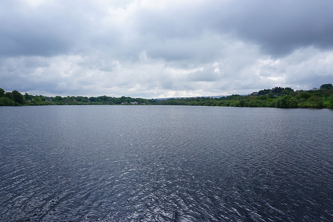
By Foulridge Lower Reservoir..
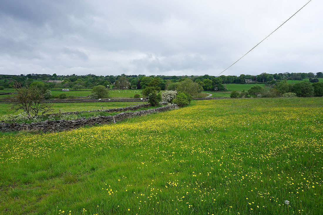
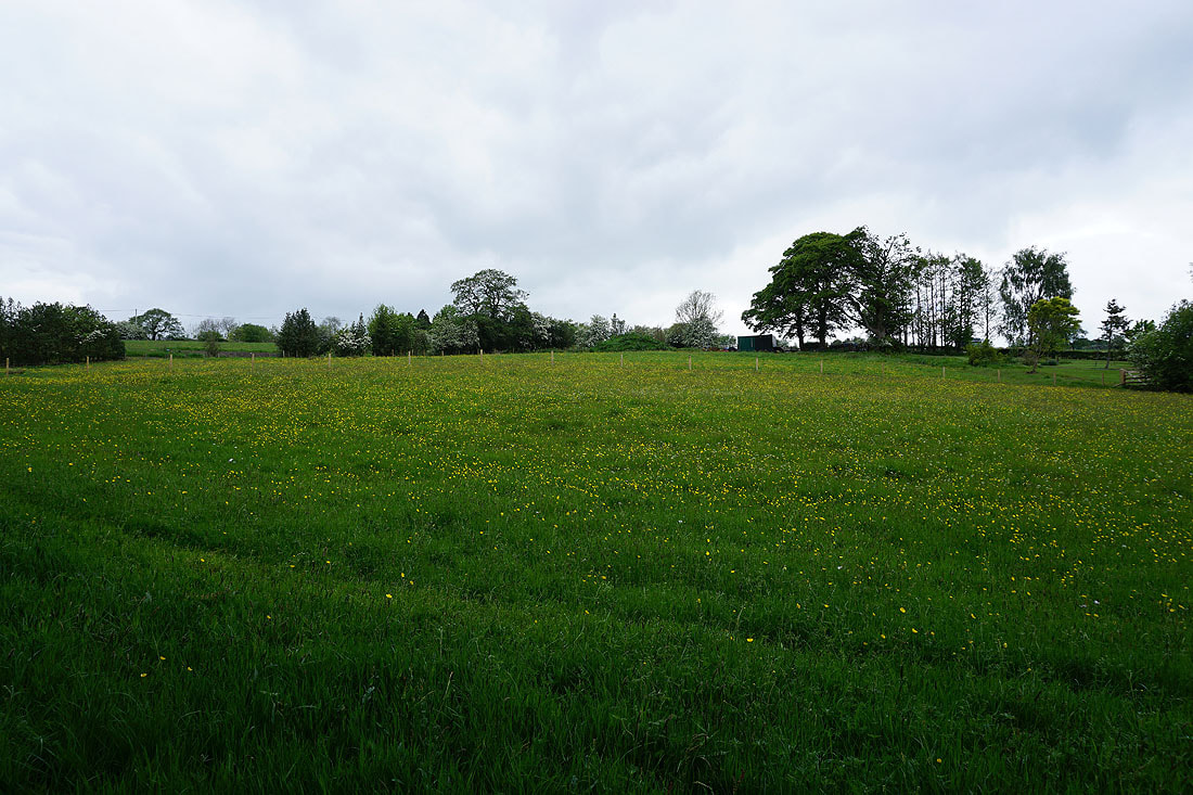
Buttercup filled field by Reedymoor Lane
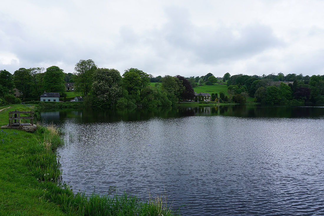
Slipper Hill Reservoir
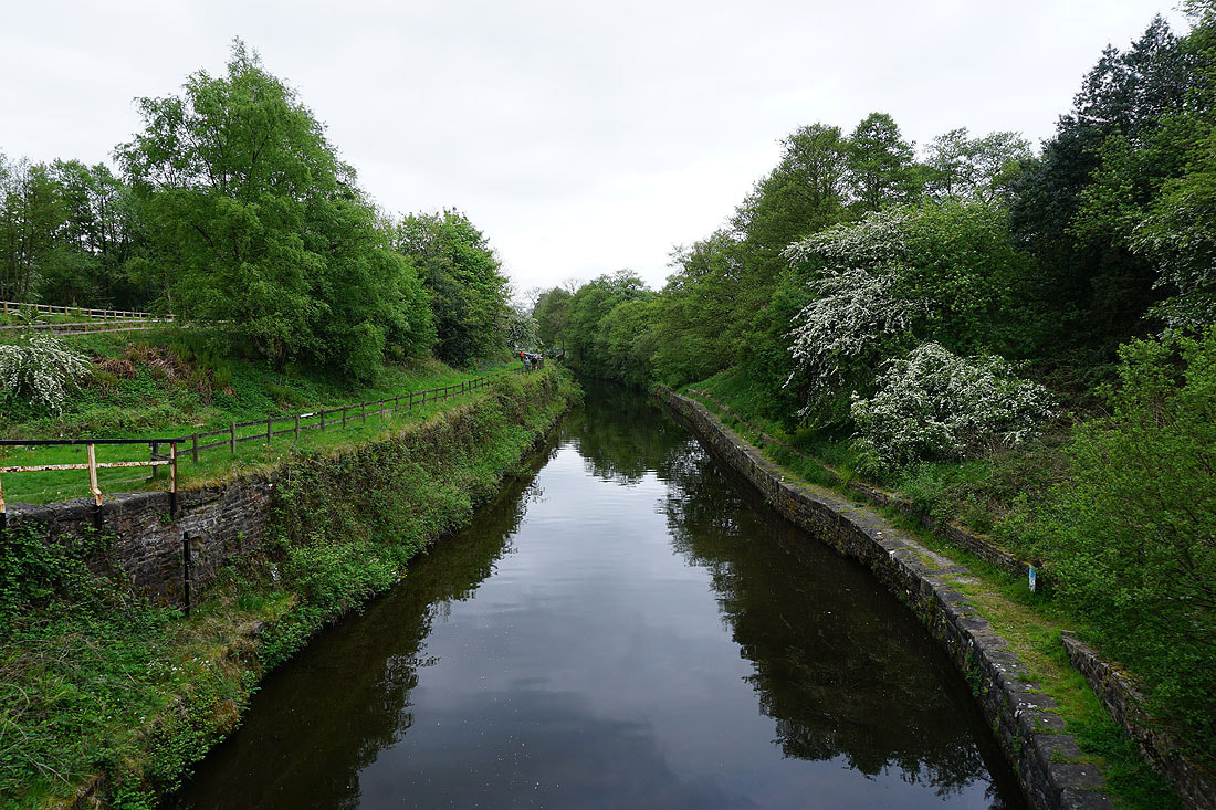
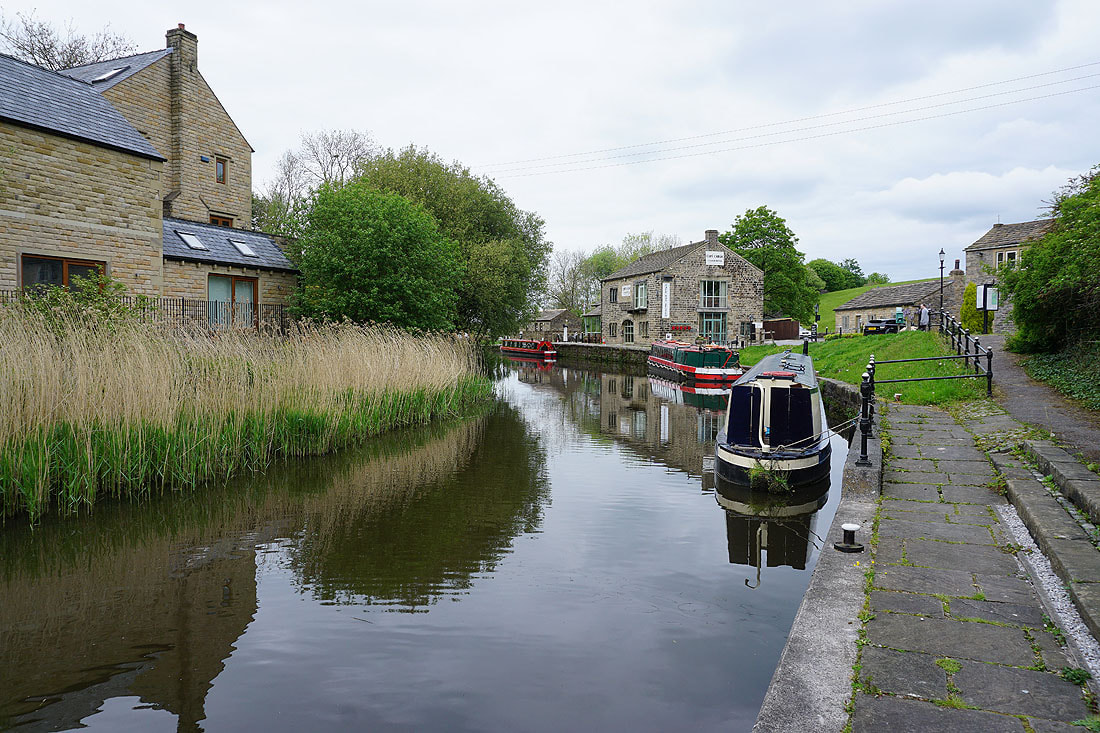
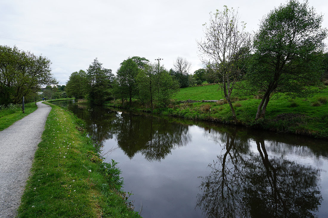
From Slipper Hill Reservoir it's a short walk to reach the Leeds and Liverpool Canal at the southern end of Foulridge Tunnel
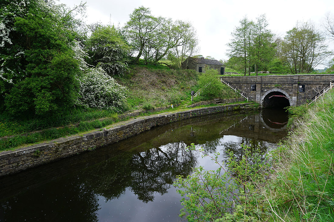
The southern end of Foulridge Tunnel
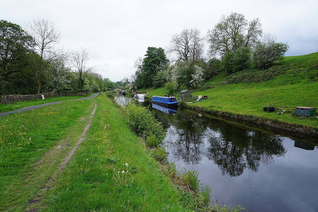
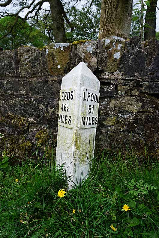
Following the Leeds and Liverpool Canal south to Barrowford Locks. I can't resist taking photos of the reflections in the still waters.......
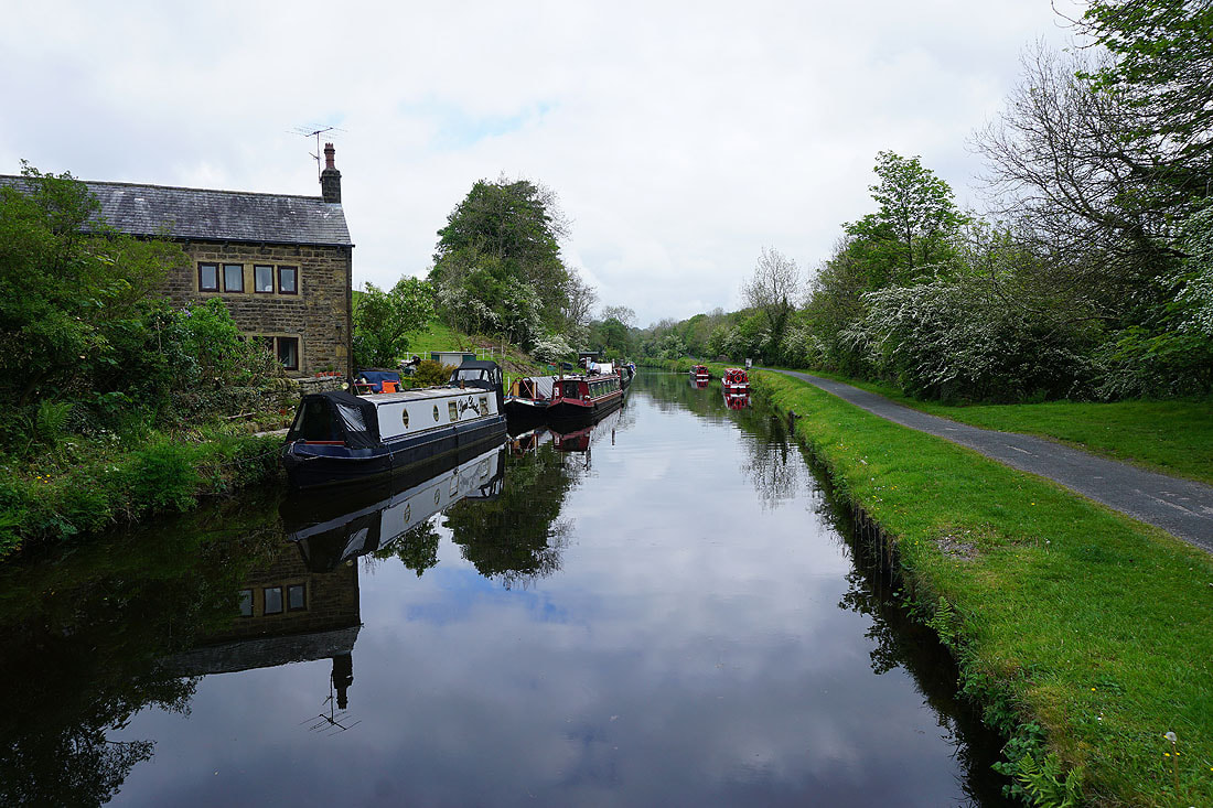
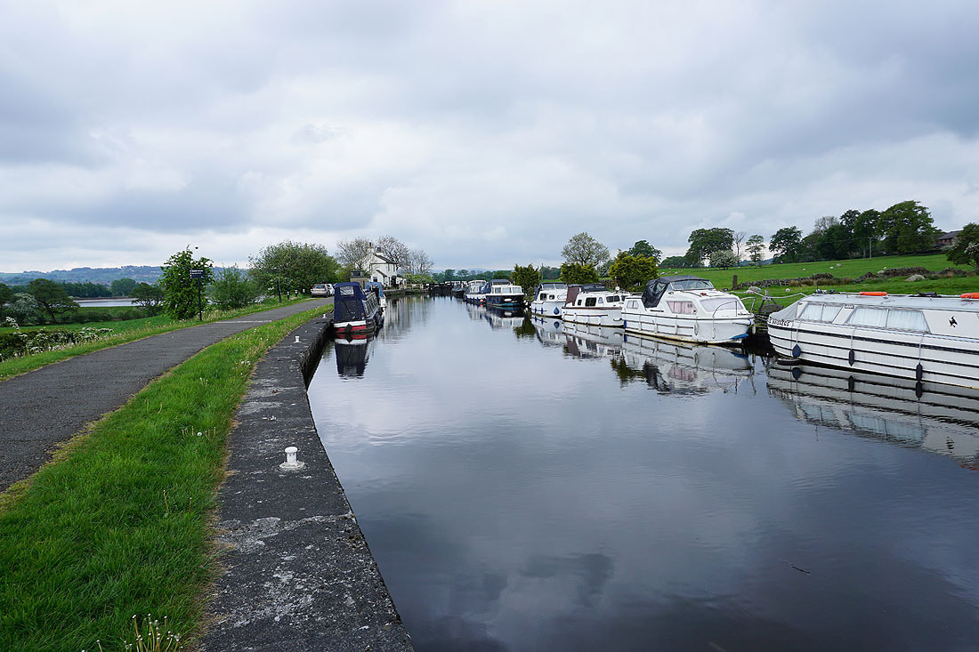
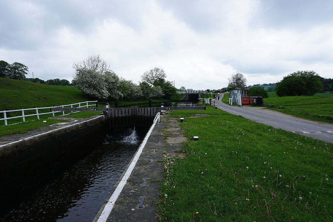
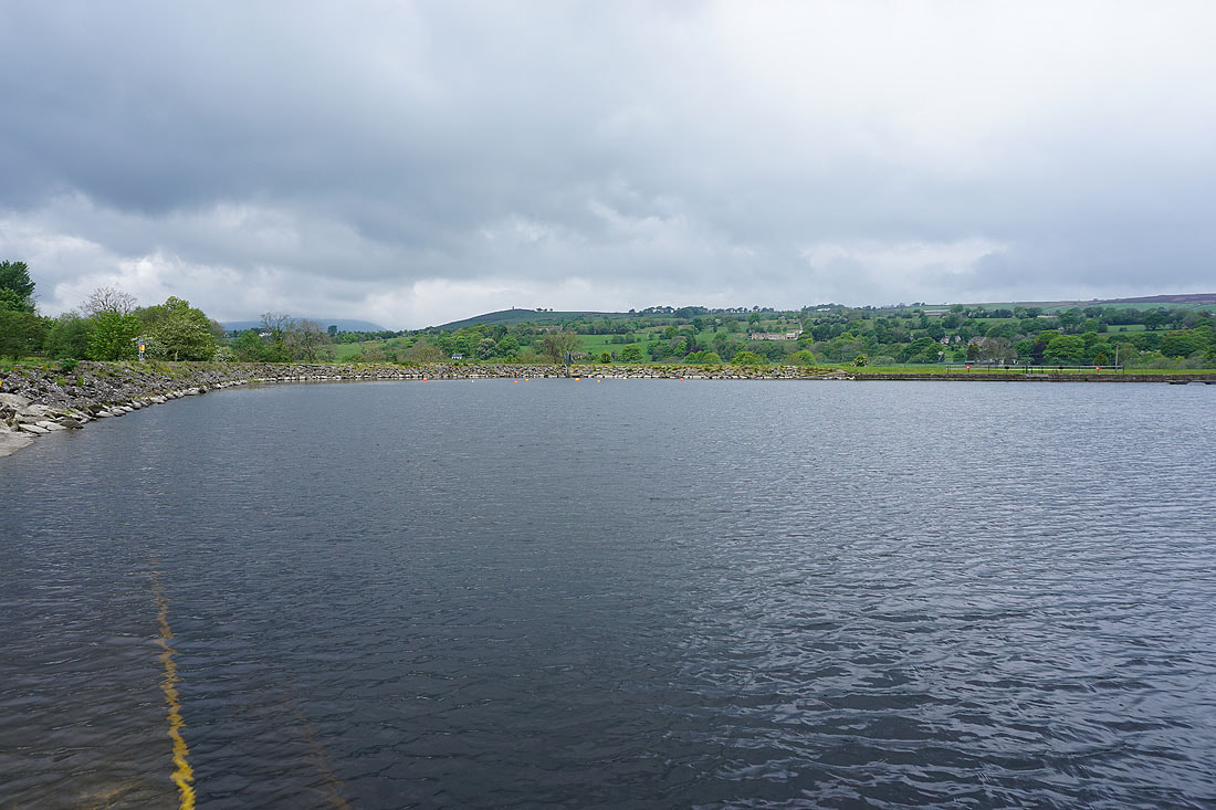
Barrowford Locks
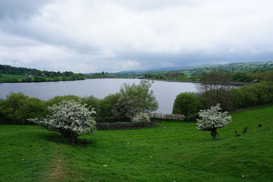
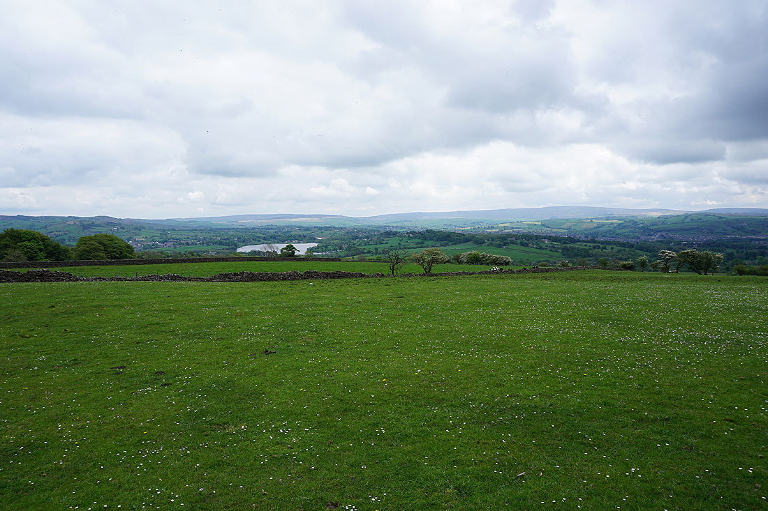
I left the Leeds and Liverpool Canal behind at Barrowford Locks, which has Barrowford Reservoir next to them
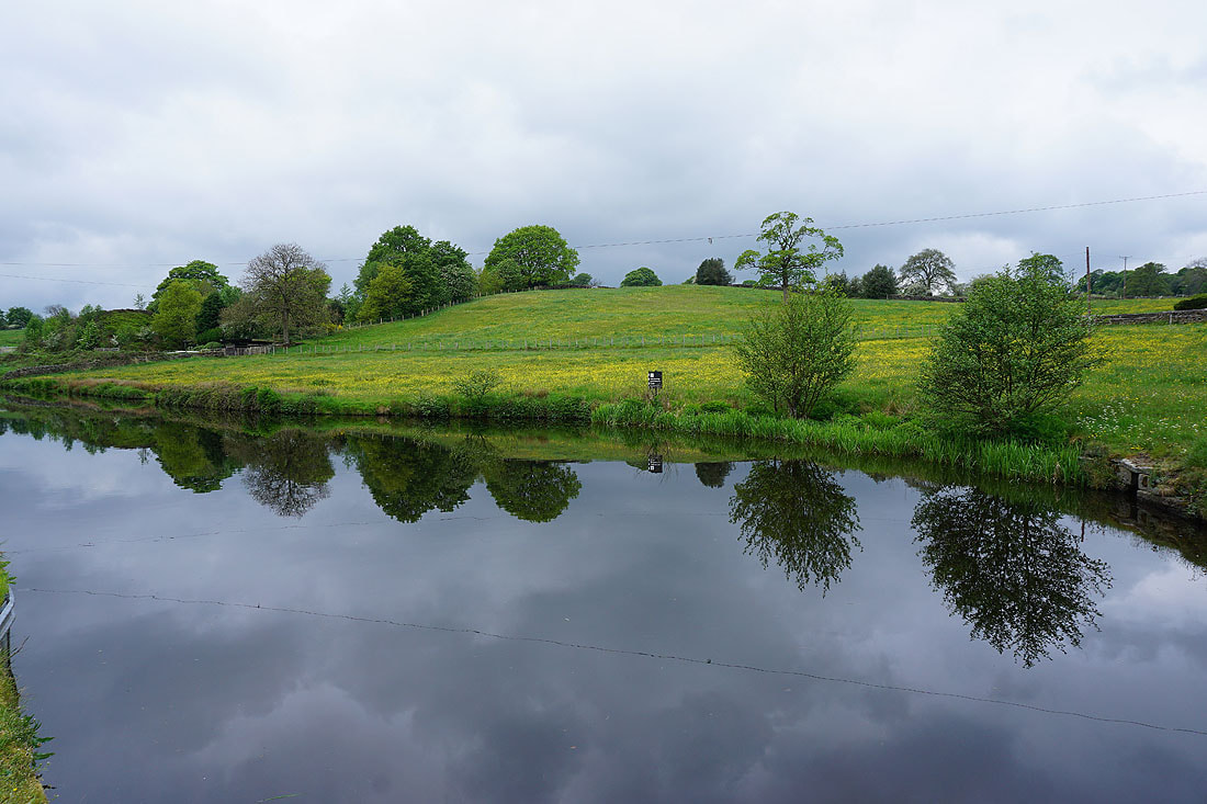
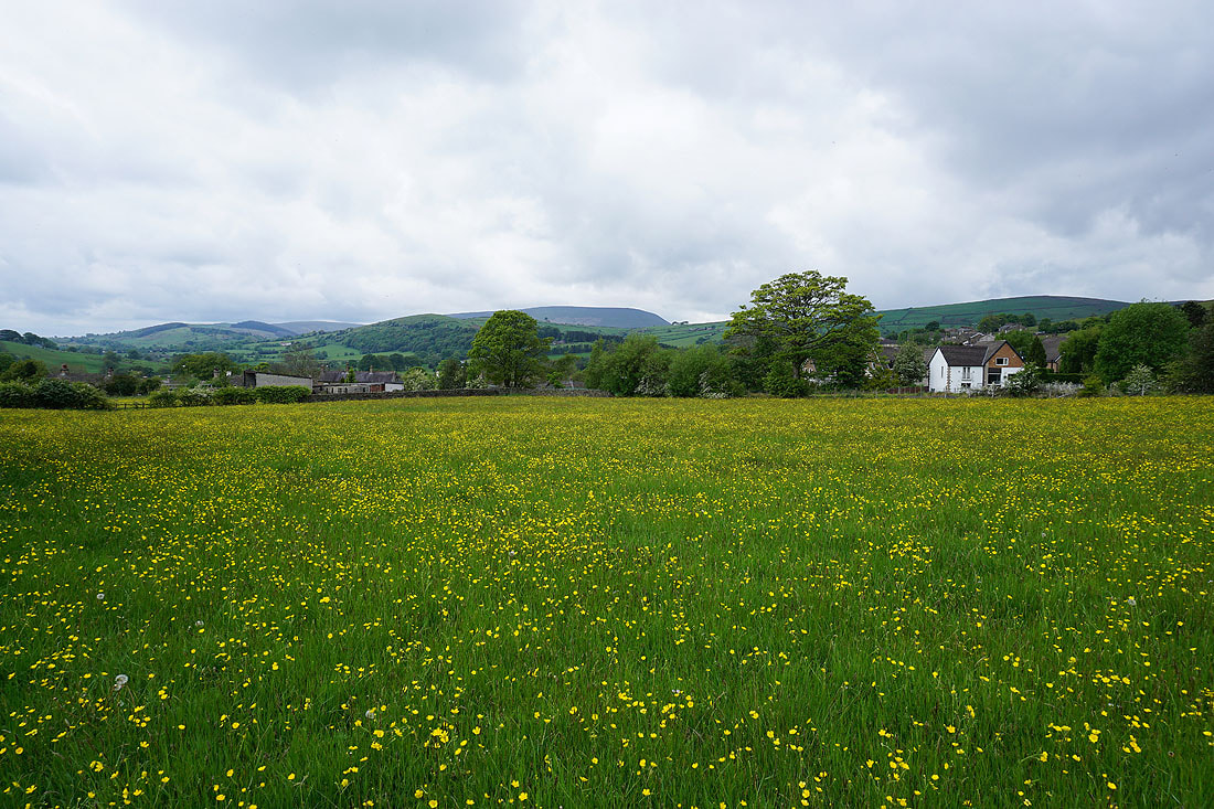
Buttercup filled fields just above the canal
The footpath I'm following is just below Barnoldswick Road in Higherford
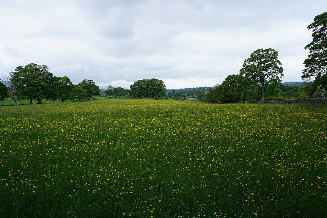
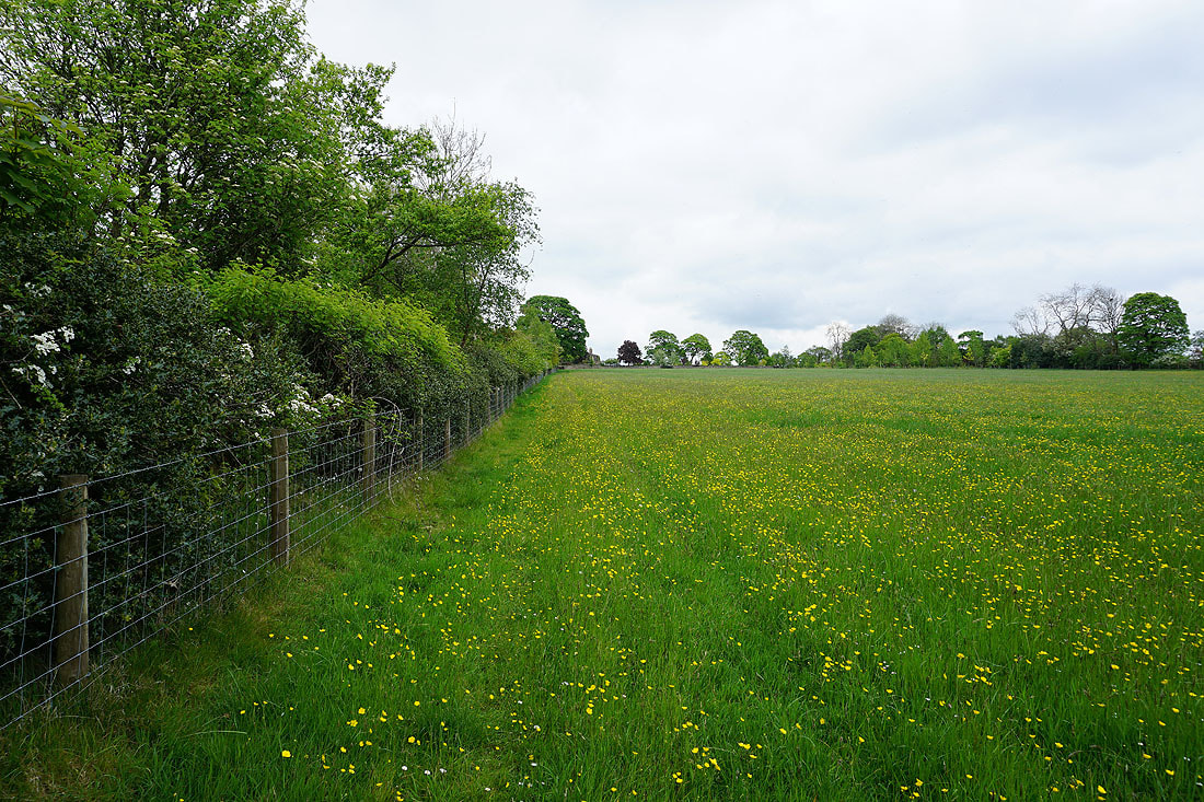
Great looking hay meadows around Higherford......
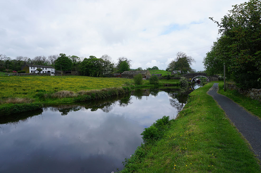
Wanless Bridge and the Leeds and Liverpool Canal below. I was on the towpath not so long ago.
Another buttercup filled field as I follow a footpath up to Barnoldswick Road at Cross Gaits Inn
Pendle Hill and Wheathead Height as I head for Blacko
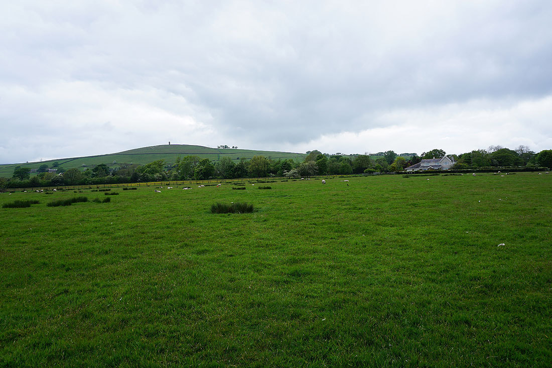
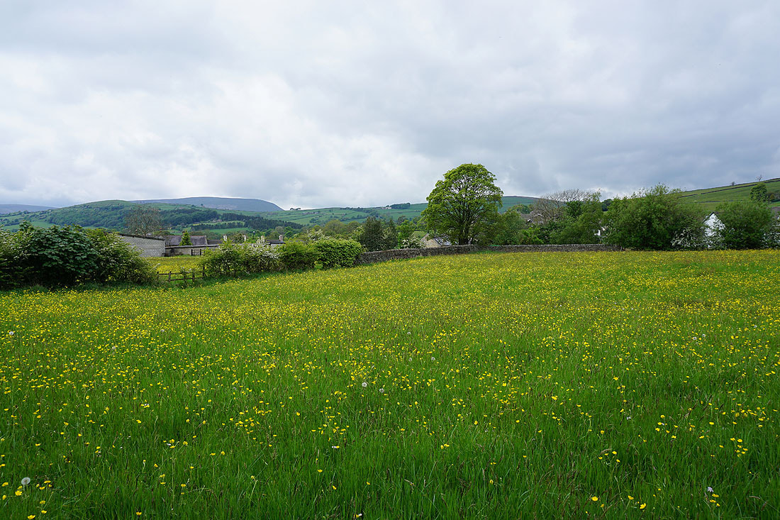
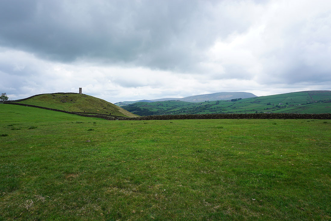
Stansfield Tower on Blacko Hill
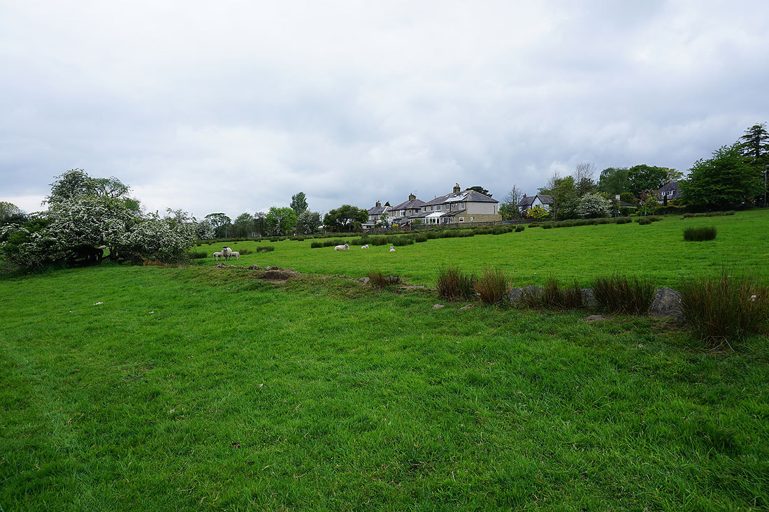
There are some fantastic displays of buttercups in the fields around Blacko....
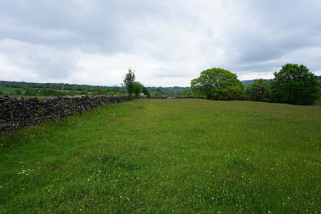
Another buttercup filled field as I follow the path along its edge to Burnt House Farm
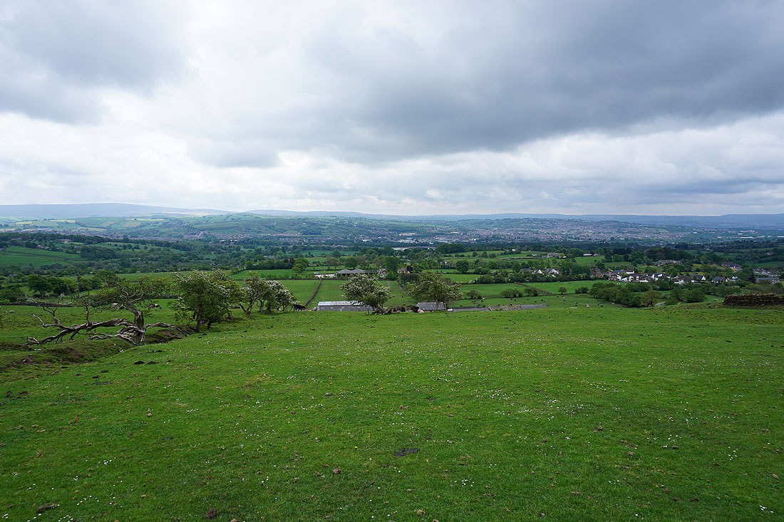
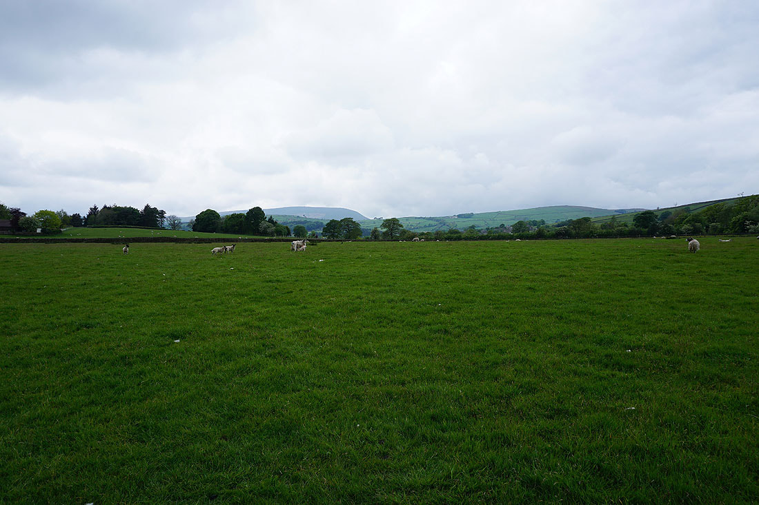
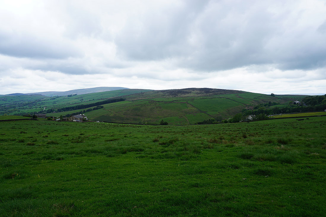
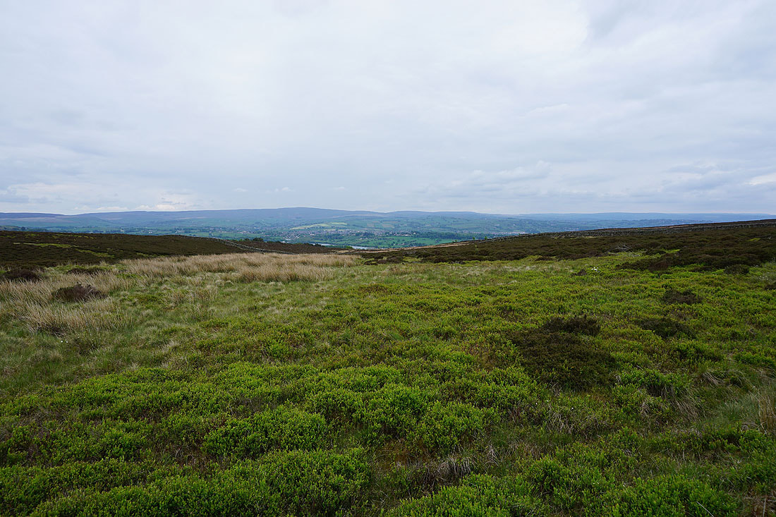
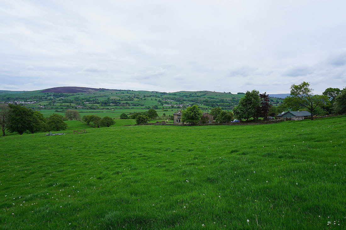
Above Blacko Hill Side Farm and the view opens out with Boulsworth Hill and Colne in the distance
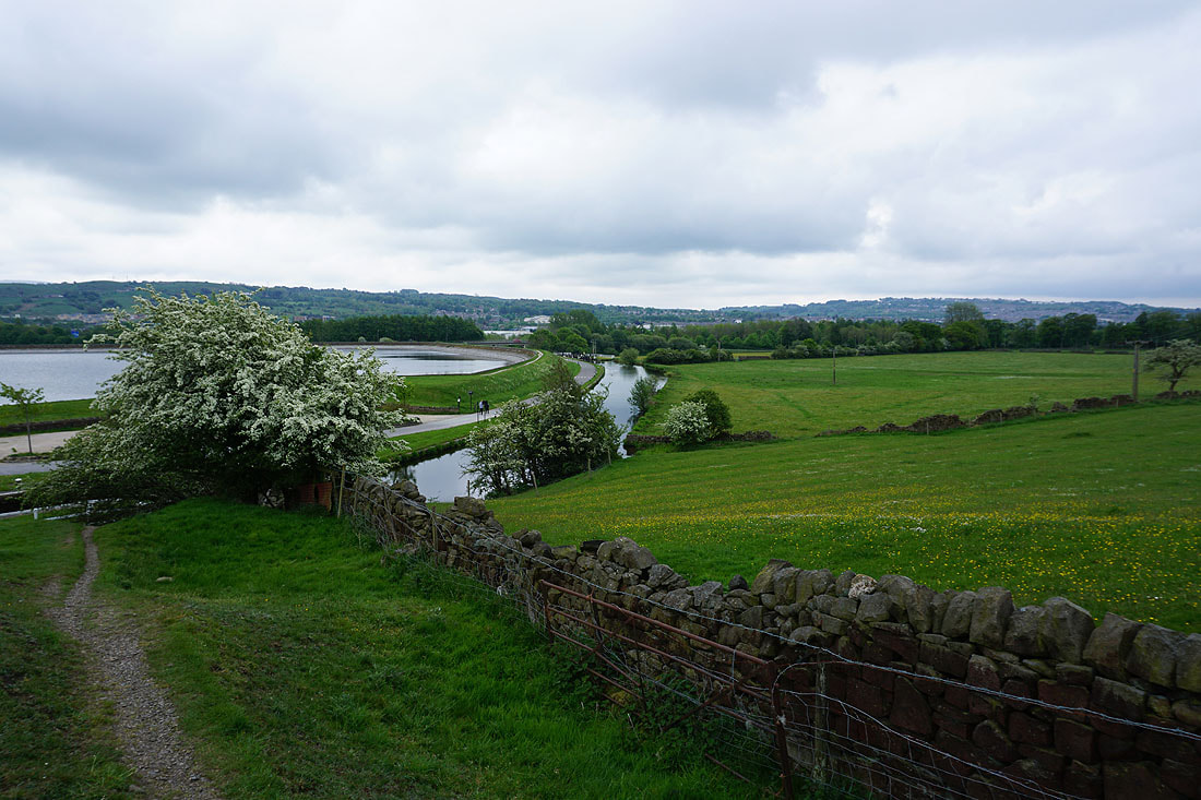
Foulridge Lower Reservoir below to the east
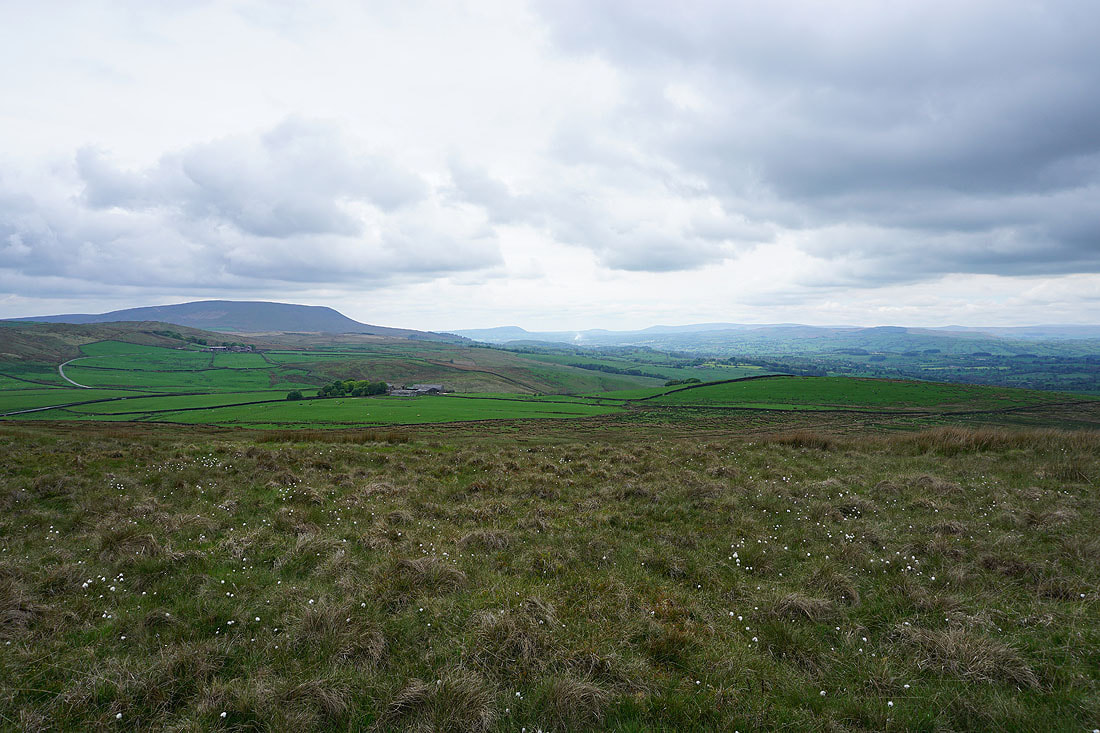
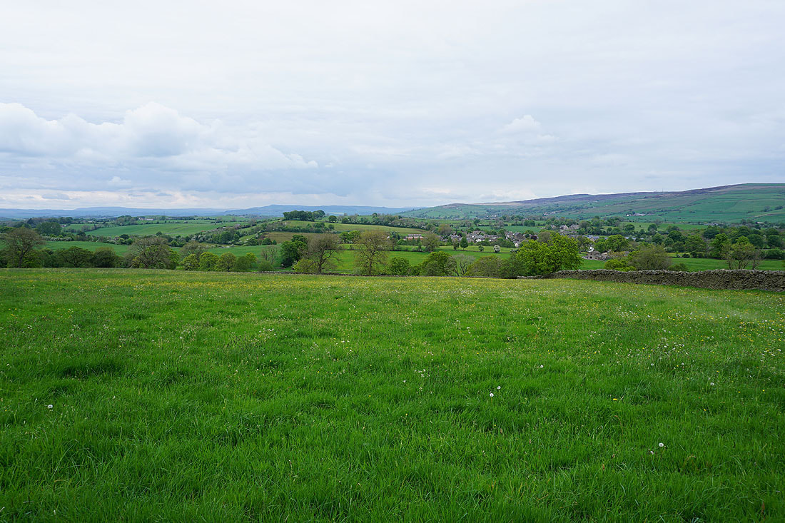
Blacko Hill and Pendle Hill from the path to Admergill Pasture
The road to Gisburn and the Moorcock Inn
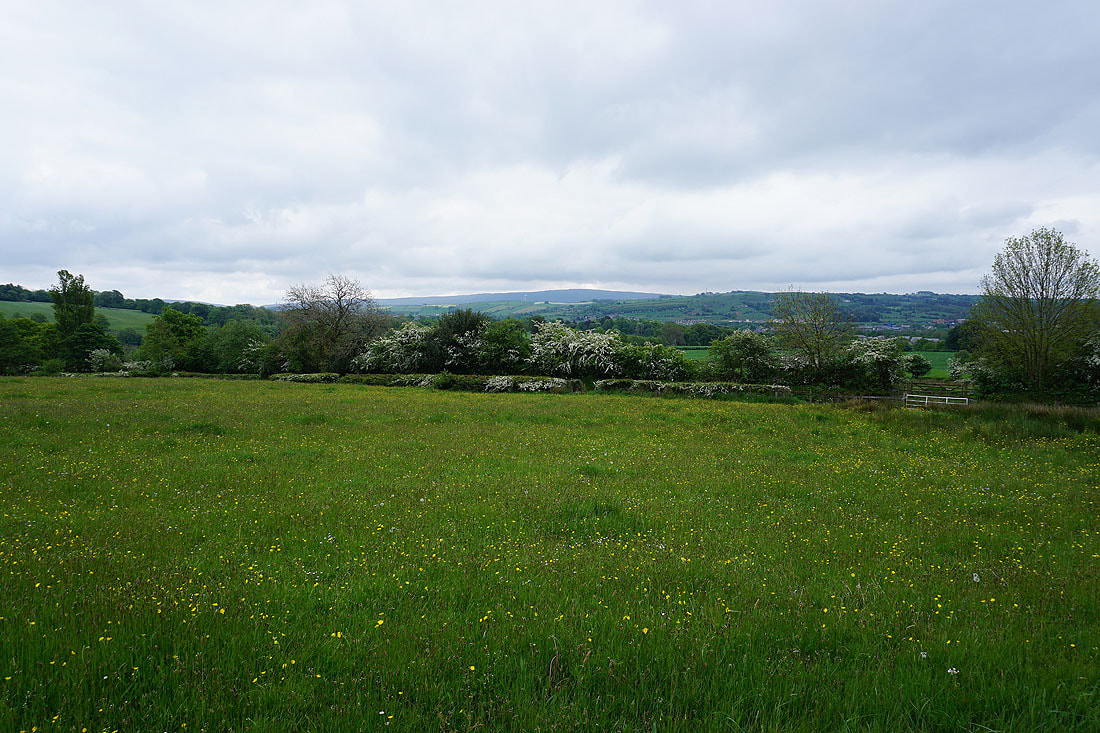
Pendle Hill and Burn Moor from the Pendle Way
Blacko Hill and Pendle Hill
Looking back to Boulsworth Hill and the South Pennines in the distance as I walk up Gisburn Old Road. There are definitely some dark looking clouds around at the moment.
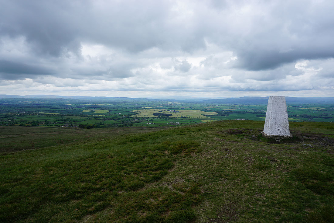
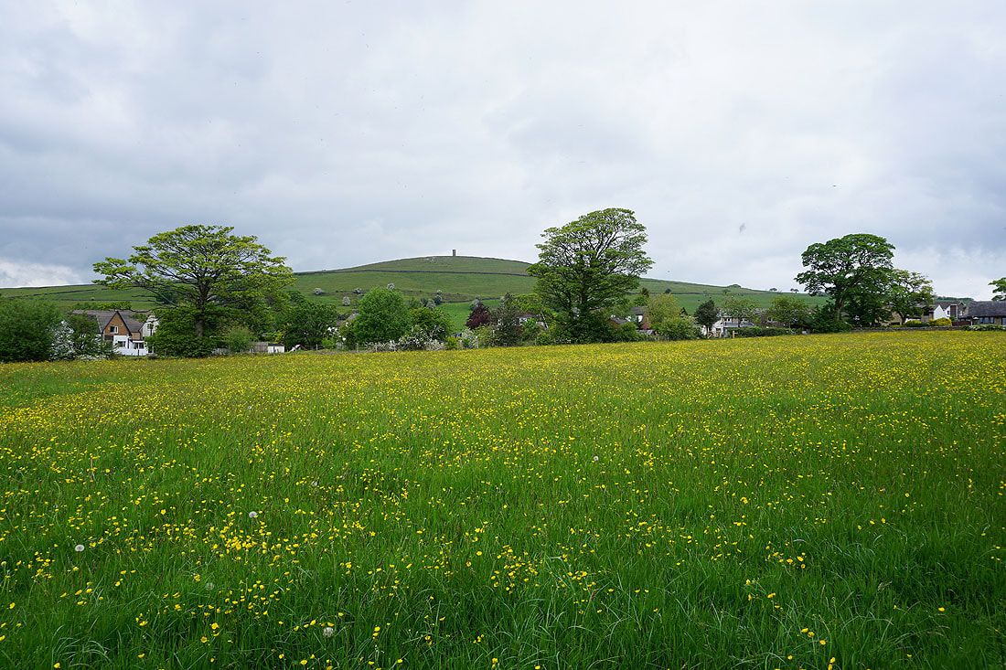
A short time later and I'm on the summit of Weets Hill. The visibility is pretty good today and I can easily make out Ingleborough in the distance.
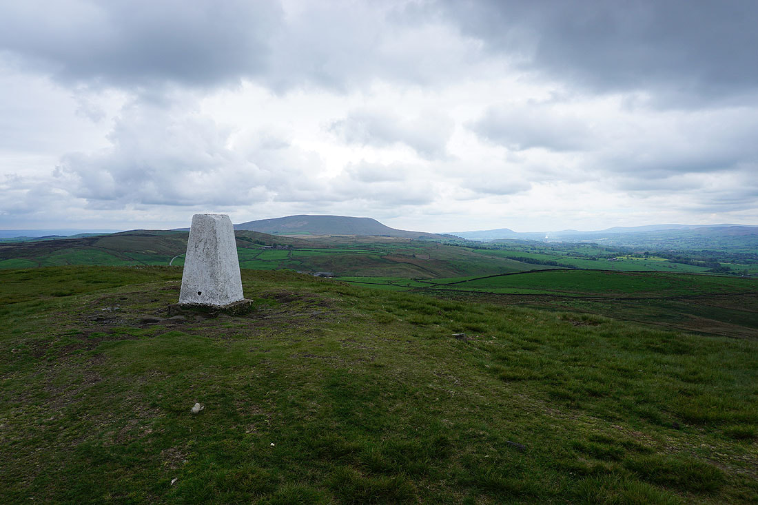
Pendle Hill
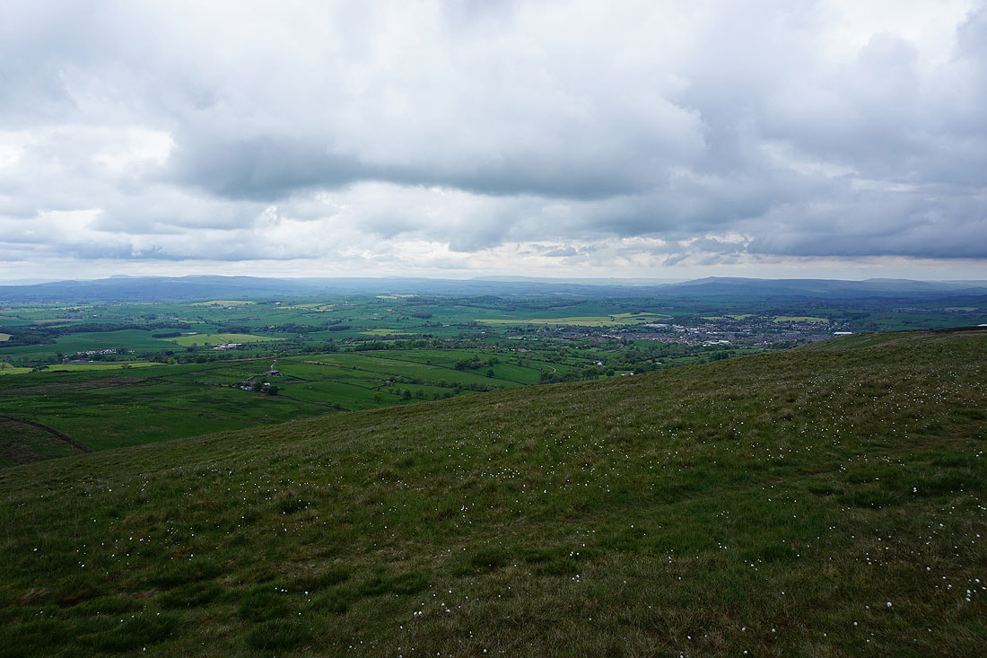
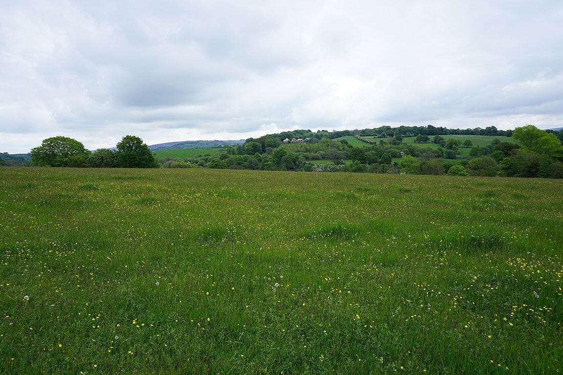
Penyghent, Buckden Pike, Great Whernside and Barden Moor with the town of Barnoldswick below
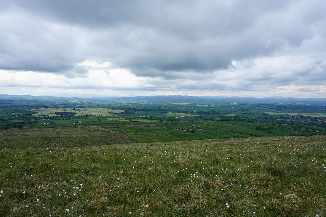
Ingleborough, Penyghent, Rye Loaf Hill, Buckden Pike and Great Whernside
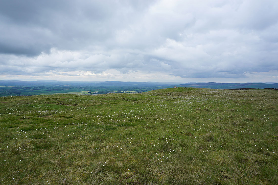
Great Whernside, Barden Moor and Pinhaw Beacon
Finally, Pendle Hill, along with Longridge Fell, Beacon Fell, Parlick, Fair Snape Fell, Totridge and Easington Fell in the Forest of Bowland
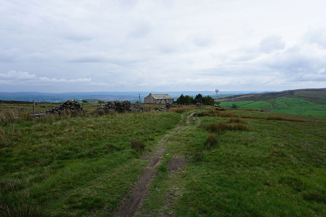
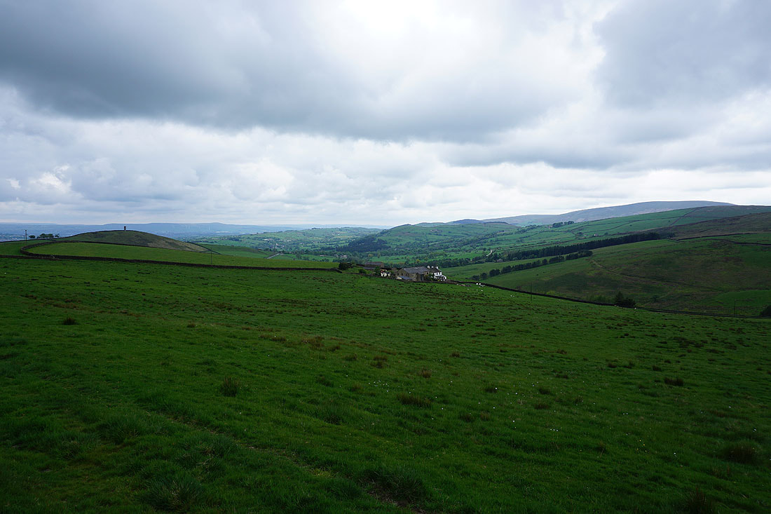
On the Pendle Way back to Weets House Farm
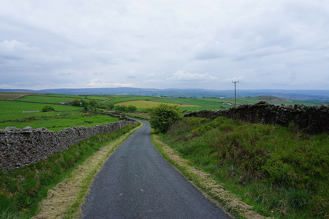
Heading back down Gisburn Old Road. It seems to be a bit brighter than it was when I was walking up it.
Looking down the valley of Admergill Water to Blacko Hill
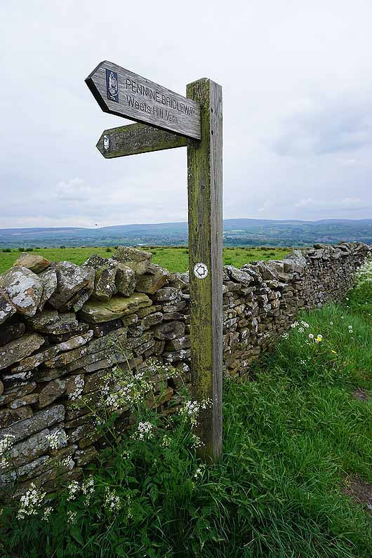
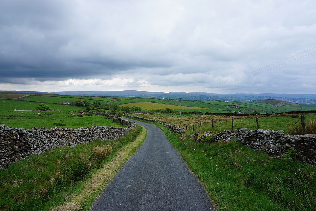
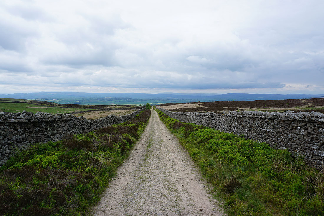
I leave Gisburn Old Road but stay on the Pennine Bridleway
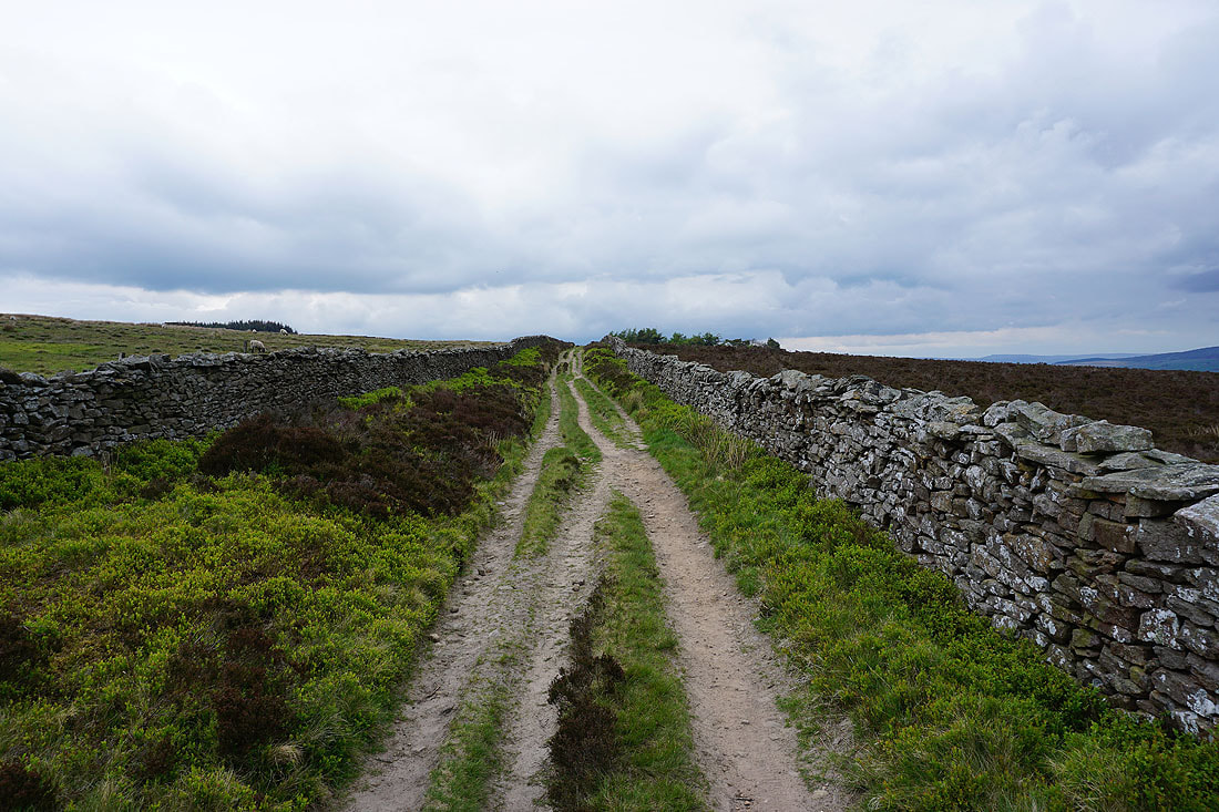
The Pennine Bridleway follows the course of Lister Well Road across White Moor
Looking back to Blacko Hill and Pendle Hill
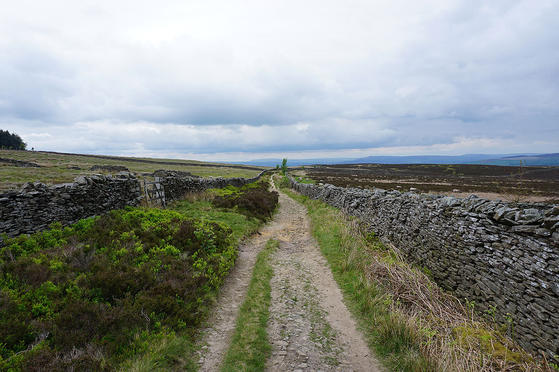
Great views as I follow the track across the moor towards Barnoldswick...
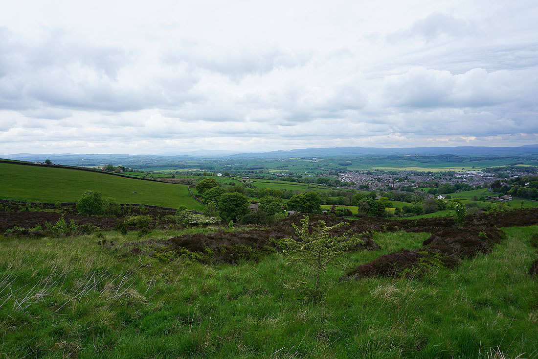
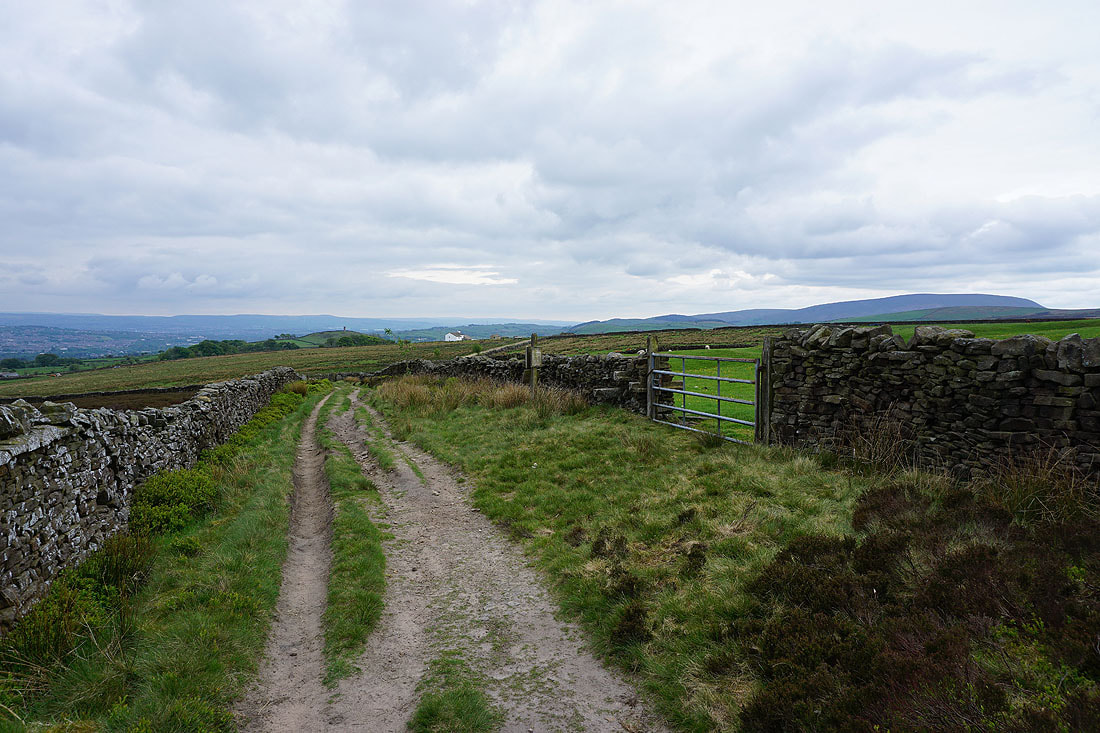
Ingleborough in the distance and Barnoldswick below as I near the eastern end of Lister Well Road
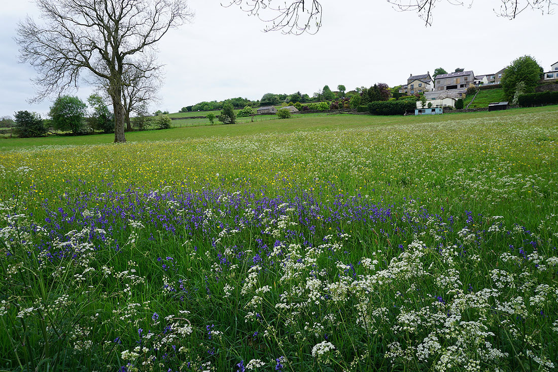
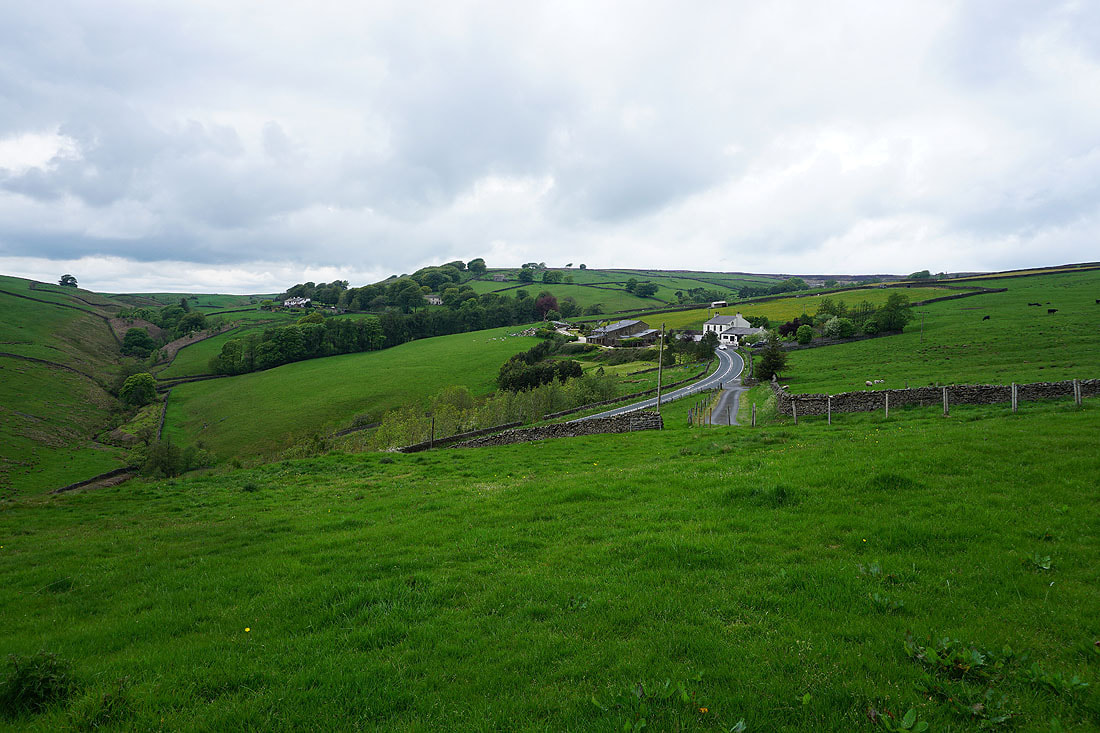
A colourful field of bluebells, buttercups and cow parsley at Dye House Farm
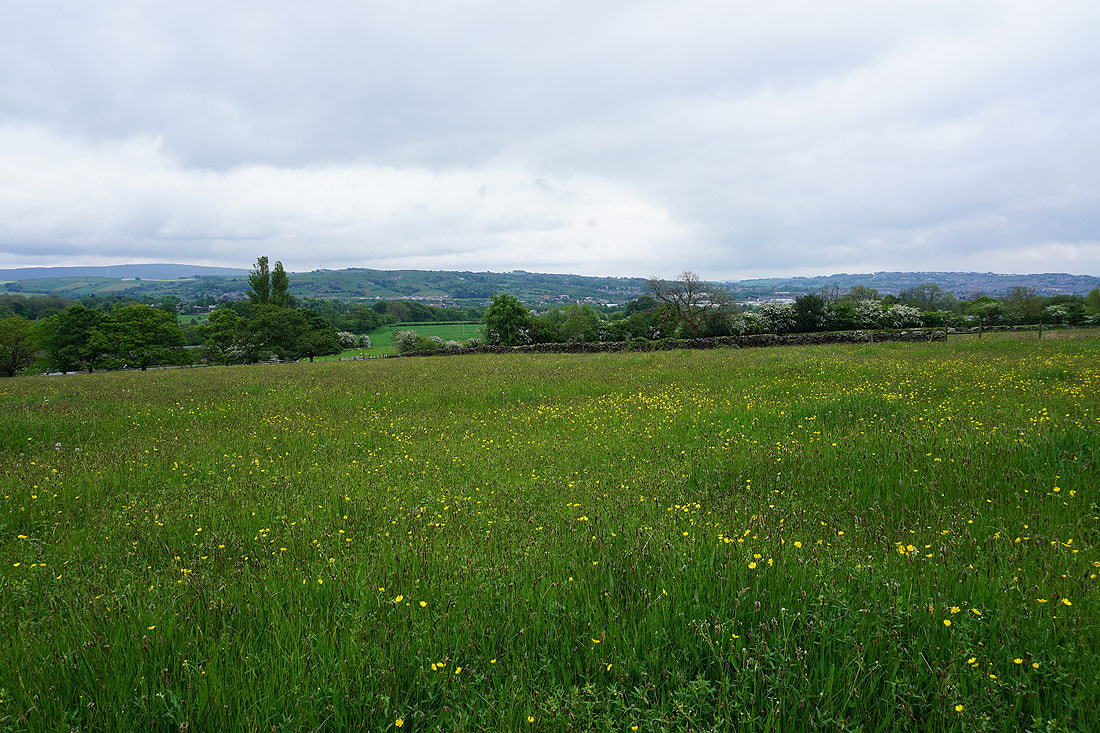
Views to Barden Moor in the distance..
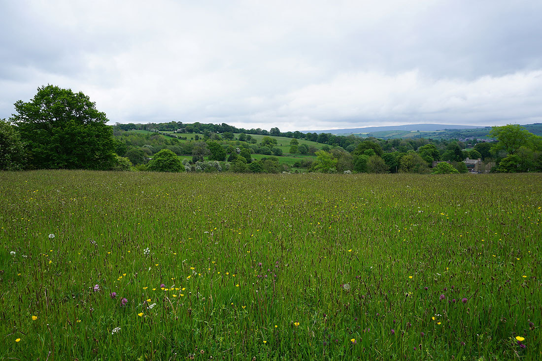
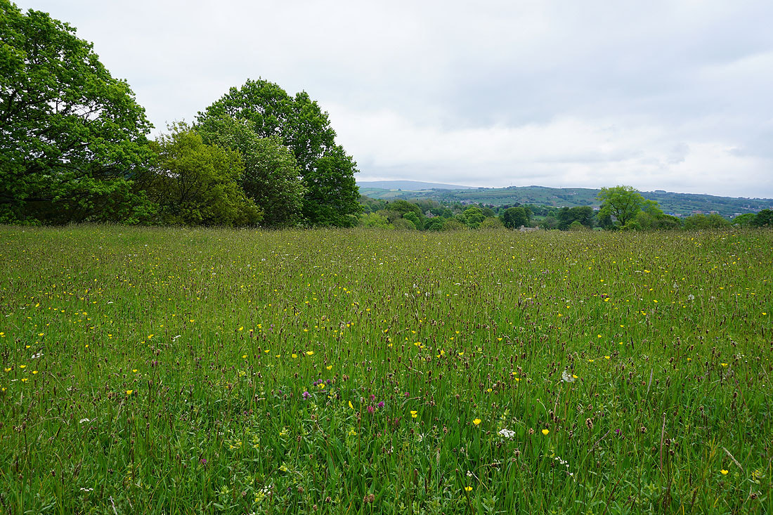
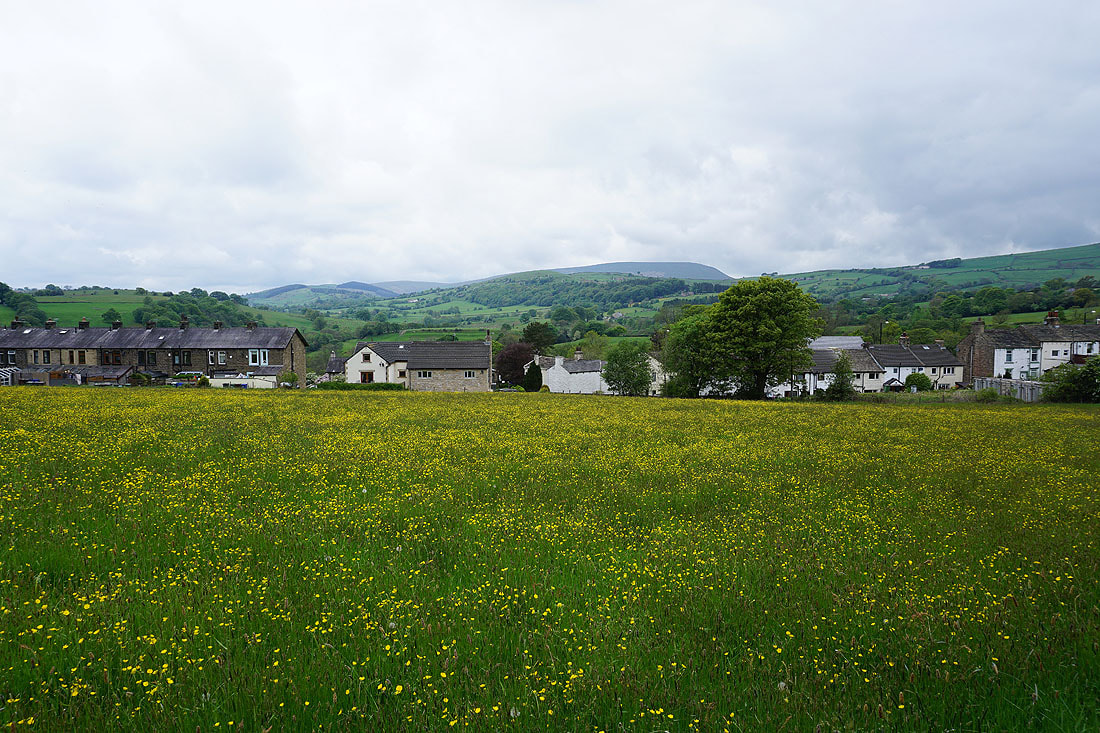
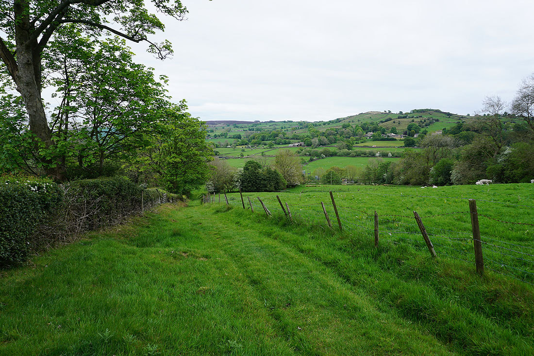
..and Kelbrook Moor and Noyna Hill as I follow field paths south towards Foulridge

Across the footbridge over County Brook
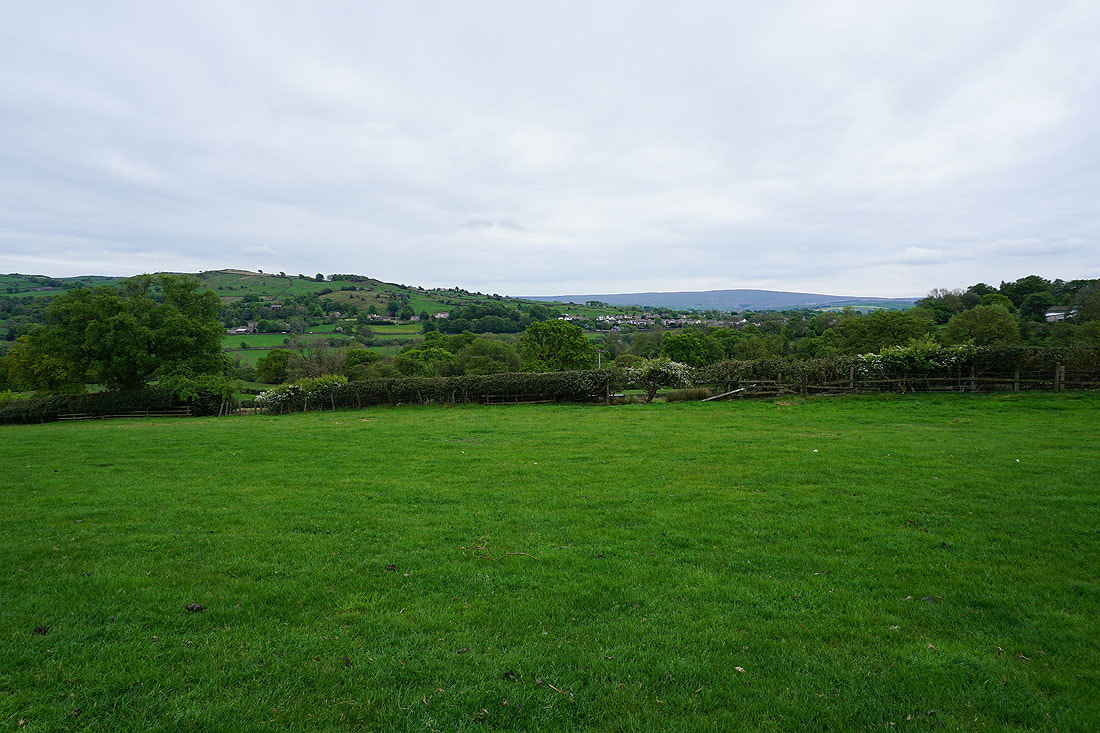
Noyna Hill to the left of Foulridge with Boulsworth Hill in the distance
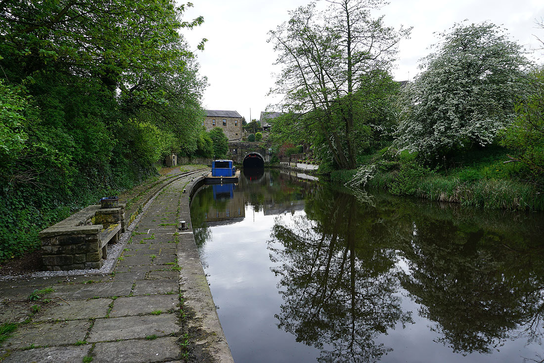
On the path down to Daubers Bridge across the Leeds and Liverpool Canal
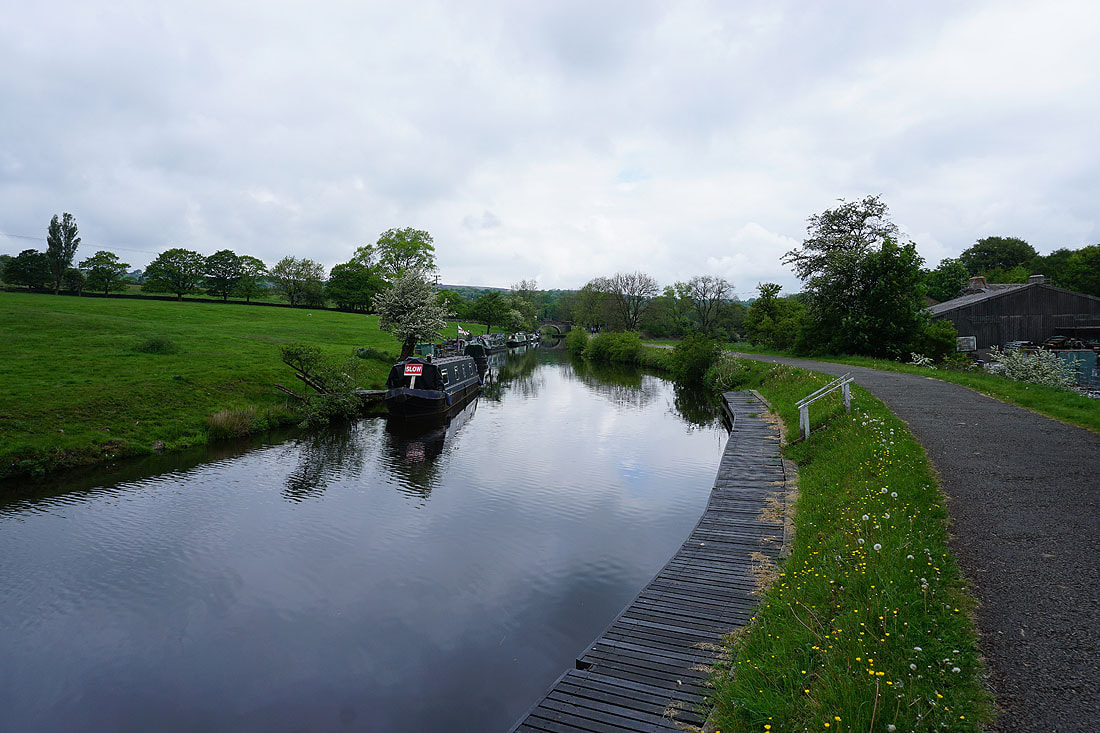
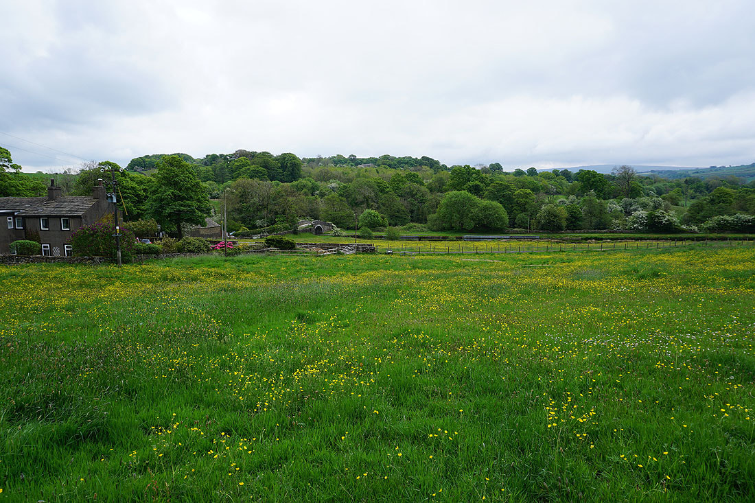
Following the towpath back to Foulridge
Journey's end as I reach Foulridge Wharf..