19th November 2016 - Cave Dale and the Great Ridge
Walk Details
Distance walked: 8.7 miles
Total ascent: 1848 ft
OS map used: OL1 - The Peak District, Dark Peak area
Time taken: 5 hrs
Route description: Castleton-Cave Dale-Limestone Way-bridleway to Eldon Hill-footpath to road to Winnats Pass-Windy Knoll-Mam Tor-Hollins Cross-Barker Bank-Back Tor-Lose Hill-Riding House Farm-Losehill Hall-Hollowford Road-Castleton
The forecast for the weekend on Friday evening was for the best of the weather to be on Saturday (though Sunday turned out to be alright) and then I had to head south to the Peak District to find it. I left home with cloudy skies and heavy showers around but once I'd reached the M60 around Manchester the weather started to improve and I arrived in Castleton at a later than planned 1100 to find largely sunny skies. It's far from the first time that I've found that to be the case. The route I decided on was a slightly shorter version of one that I've done before, taking in Cave Dale and the moors above from Castleton and then the Great Ridge from Mam Tor to Lose Hill. The previous time I started from Hope. It turned out to be really nice late autumn day for a walk, sunny spells but with quite a strong and cold wind. Cold weather during the week had left a cover of snow on the hills which slowly thawed throughout the day.
After parking my car by the road just outside Castleton I walked into the village and turned right onto the road to Pin Dale. At a left turn I took the trail of the Limestone Way on the right and followed it up Cave Dale and out onto the moor above. When I reached a crossroads of bridleways I turned right and took the one that heads west towards Eldon Hill, then when this turned right I kept straight on through a gate on another bridleway. At the top of this bridleway I took a footpath on the right across the moor to reach the road above the top of Winnats Pass, over the road and a path brought me to the road below Mam Tor. I then climbed to the summit of Mam Tor. After taking in the view I followed the Great Ridge east across the tops of Barker Bank and Back Tor to reach Lose Hill. To head back to Castleton I took the path south off the summit towards Losehill Farm, where I turned right onto a path west and south past Riding House Farm to Losehill Hall. A path then track made its way west to reach Hollowford Road which I walked down into Castleton. I was then left with a walk through the village back to where I was parked.
Route map
© Crown copyright. All rights reserved. License number PU 100034184.
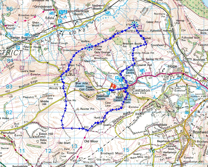
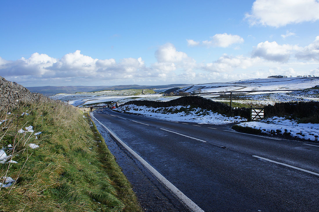
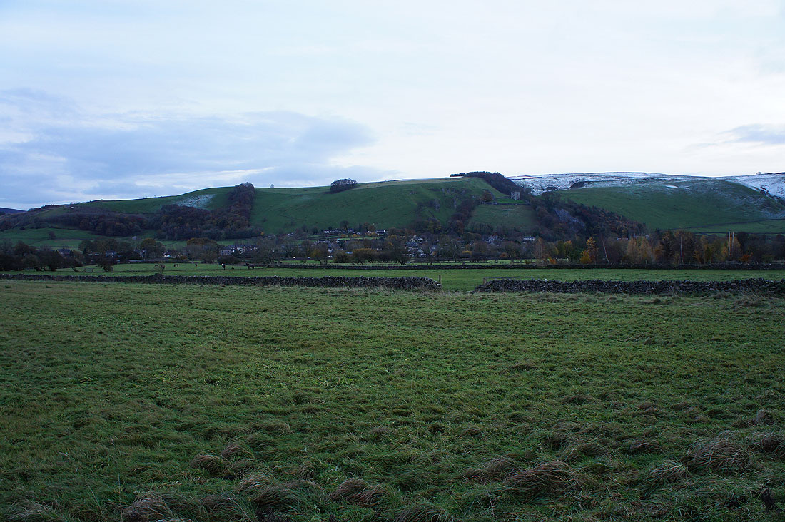
Before I set off a few photos from where I parked my car just outside Castleton. The Winnats Pass, which I'd just driven down.
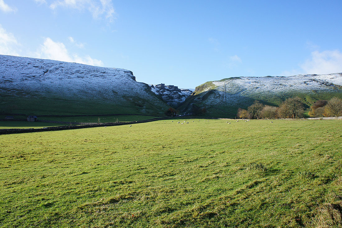
Mam Tor
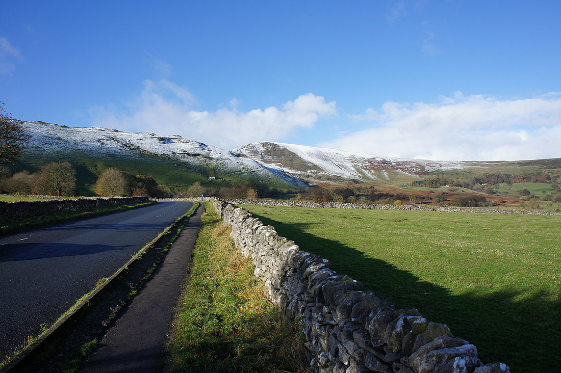
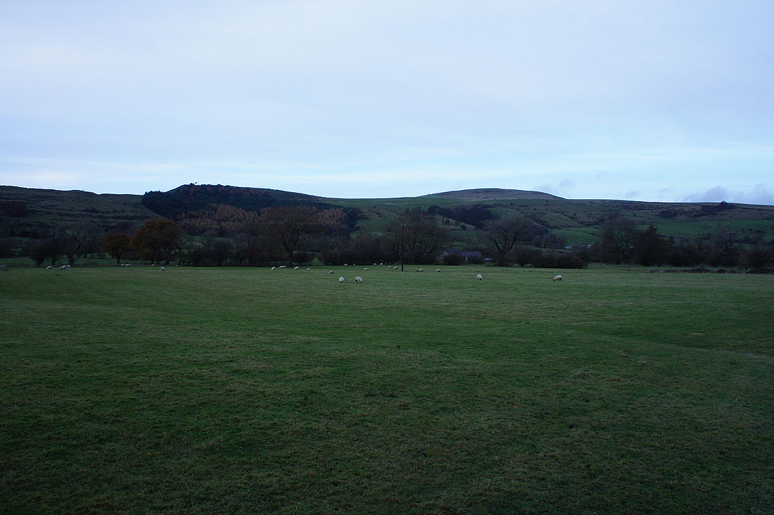
and looking down the Hope Valley, Win Hill
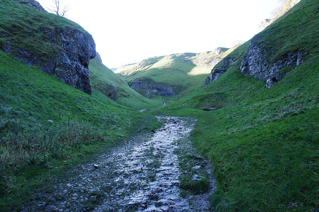
Having walked through Castleton, on my way up Cave Dale on the trail of the Limestone Way, which starts or ends here depending on your point of view
|
|
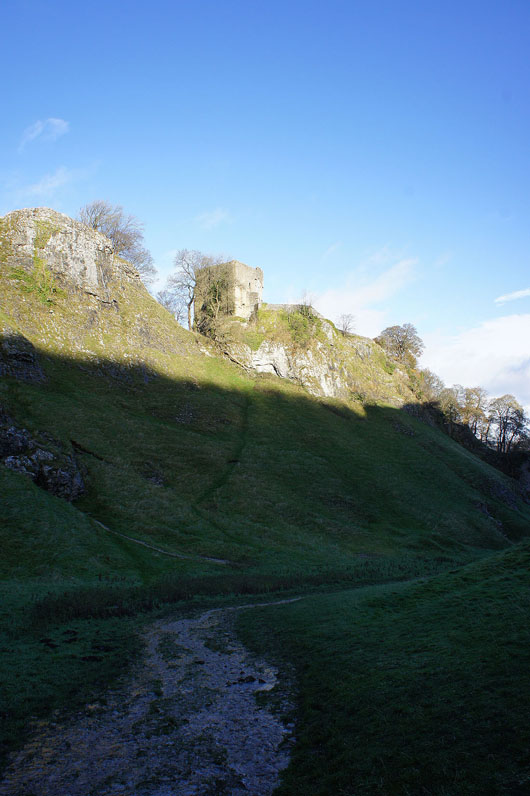
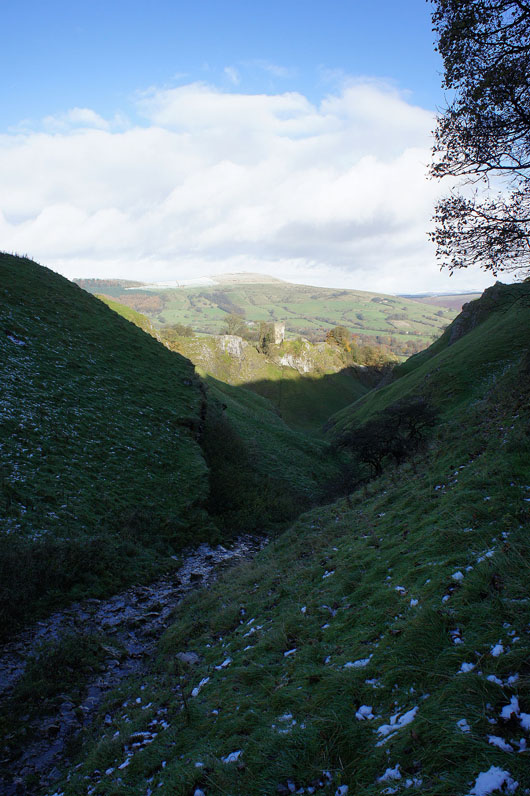
Looking back, a couple of shots of the ruins of Peveril Castle on the hillside above
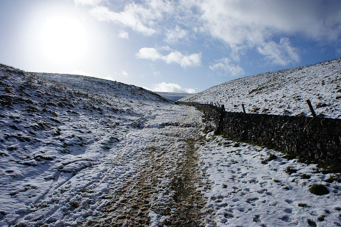
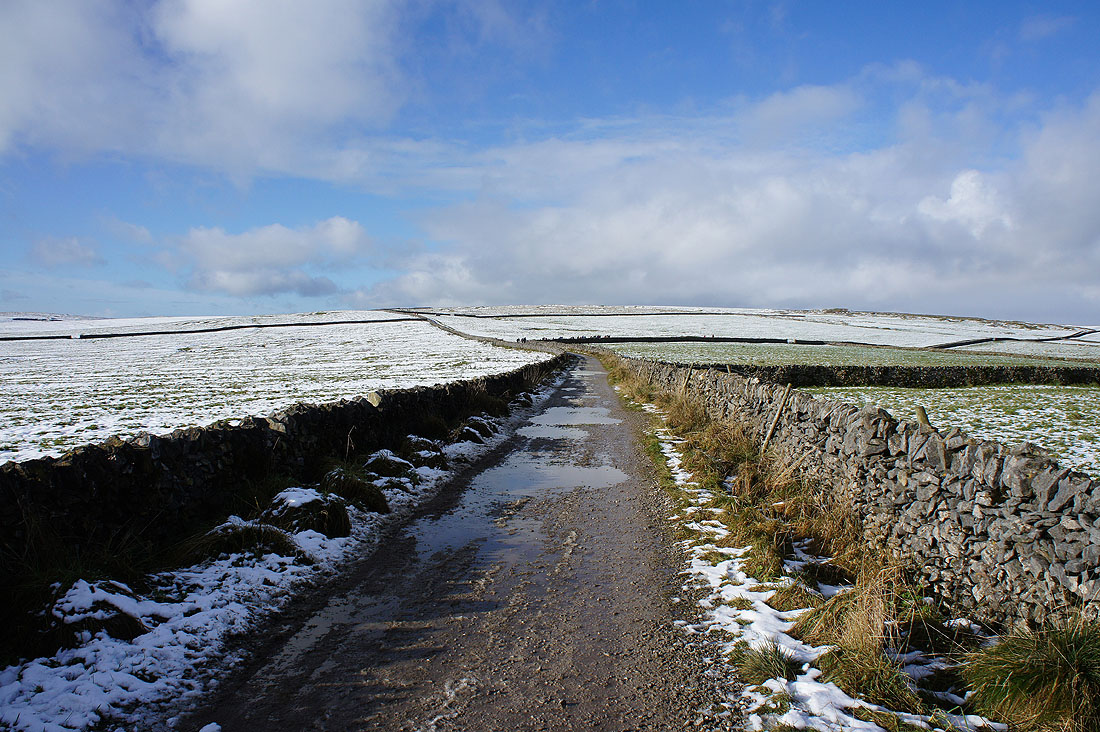
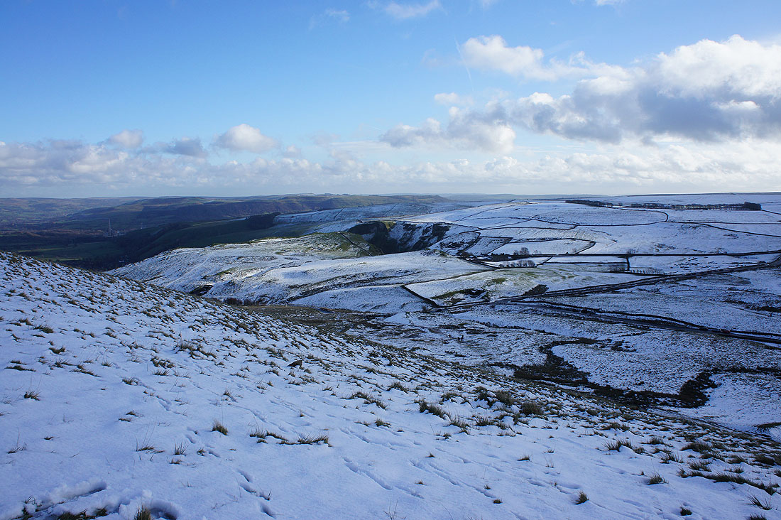
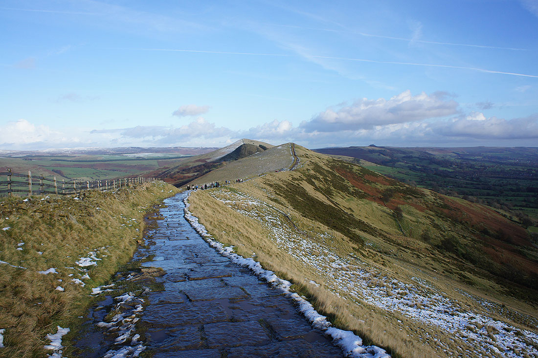
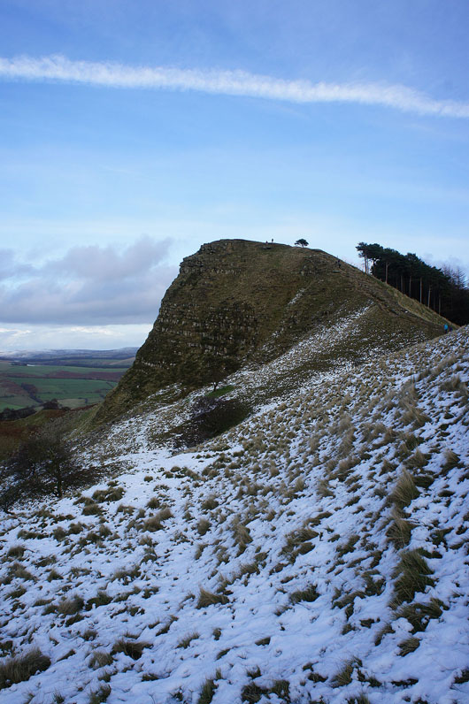
Up into the snow near the top of Cave Dale
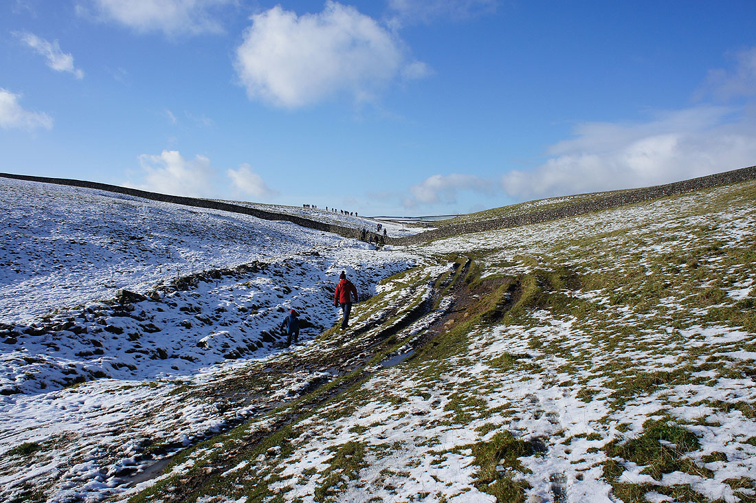
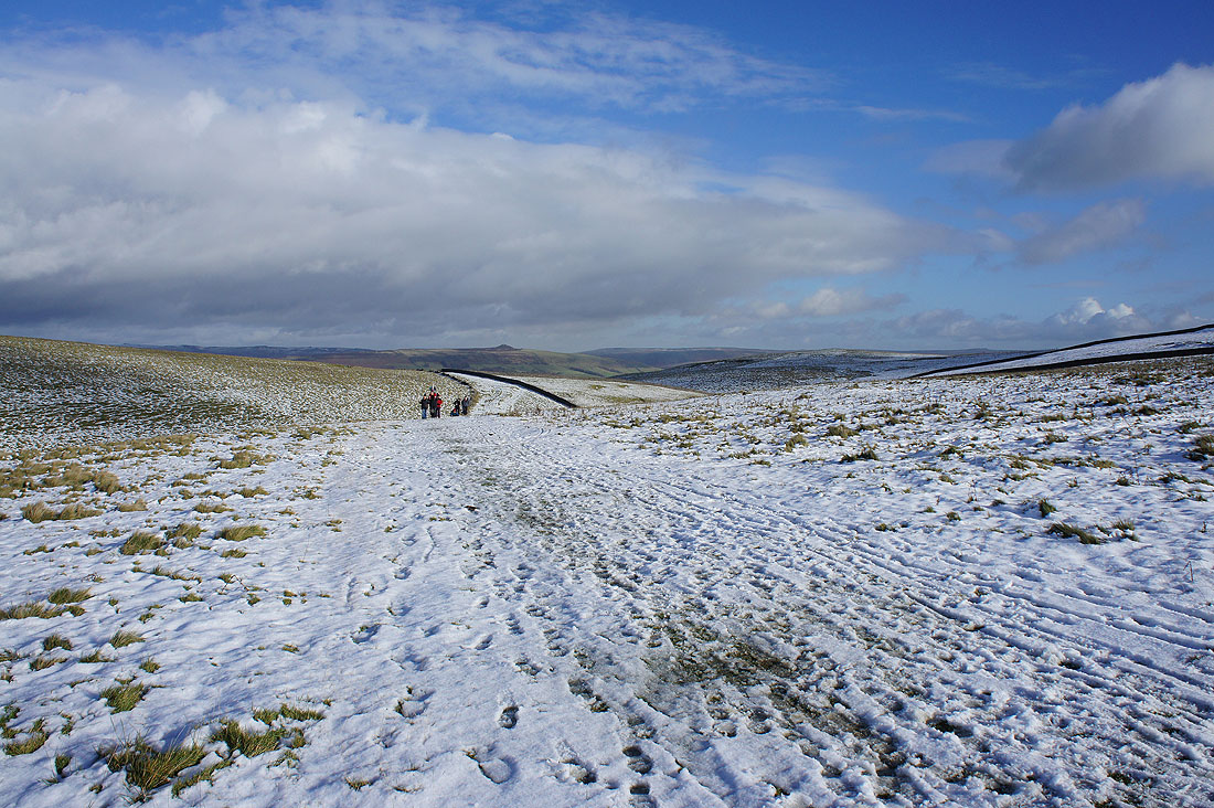
It's a popular path this morning
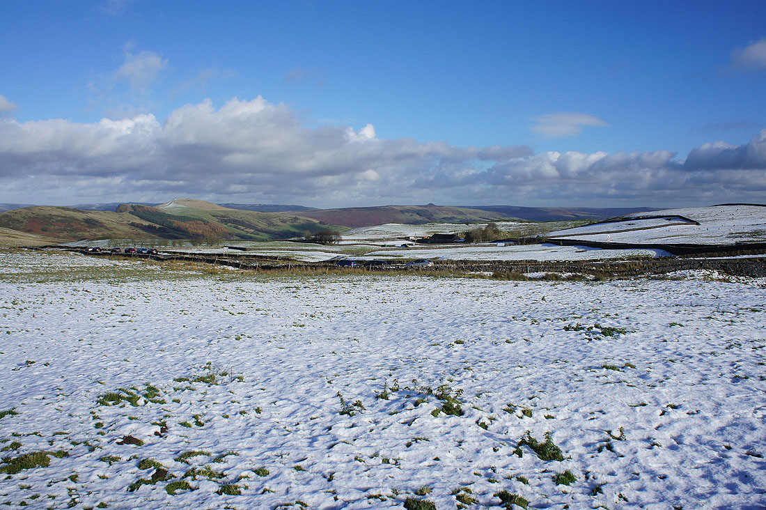
To my right, Rowter Farm across snow covered fields with the tops of Rushup Edge and Mam Tor behind
Looking back with a snowless Win Hill in the distance
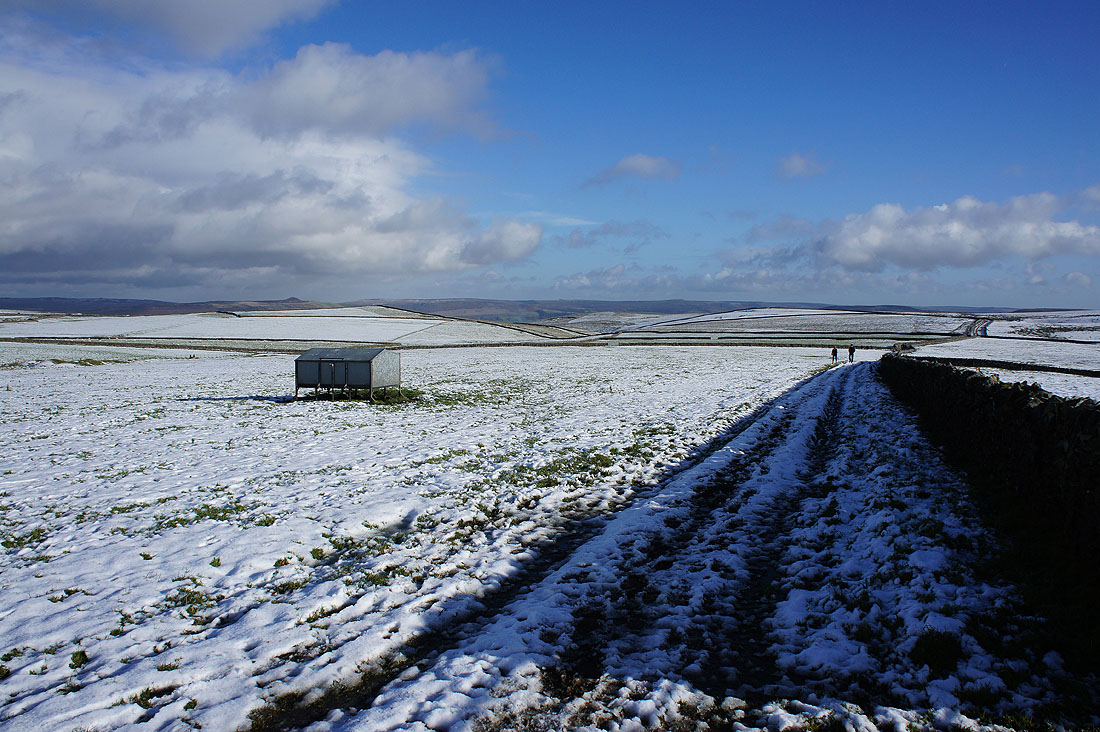
Here I leave the trail of the Limestone Way which continues on across Old Moor..
..while I take the bridleway towards Eldon Hill
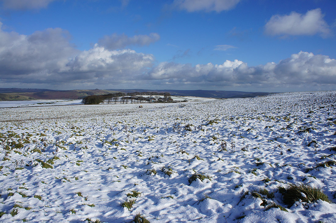
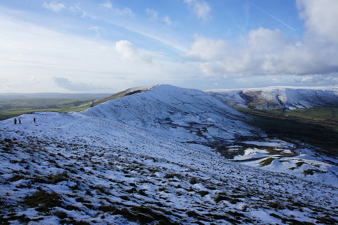
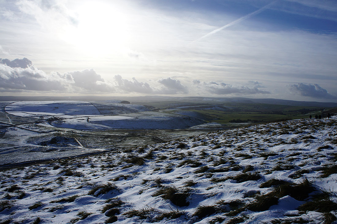
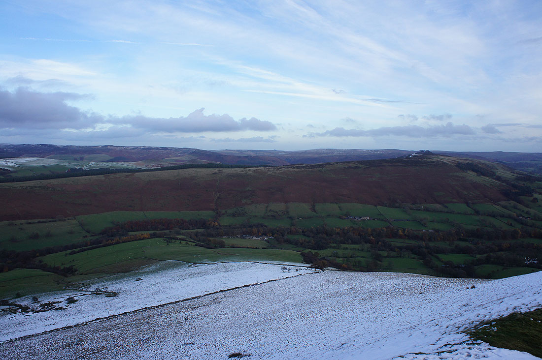
Looking back across snow covered moors to Win Hill and Stanage Edge in the distance
Off the bridleway and on the path towards Mam Tor. That wall looks like a good spot to stop and have my lunch out of the wind.
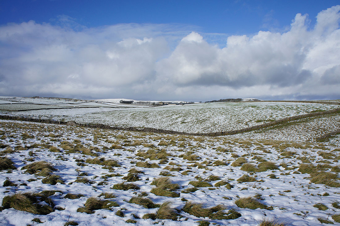
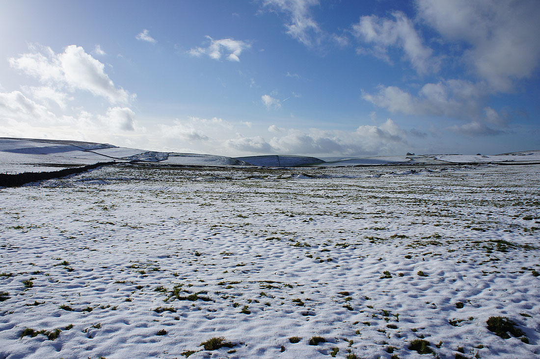
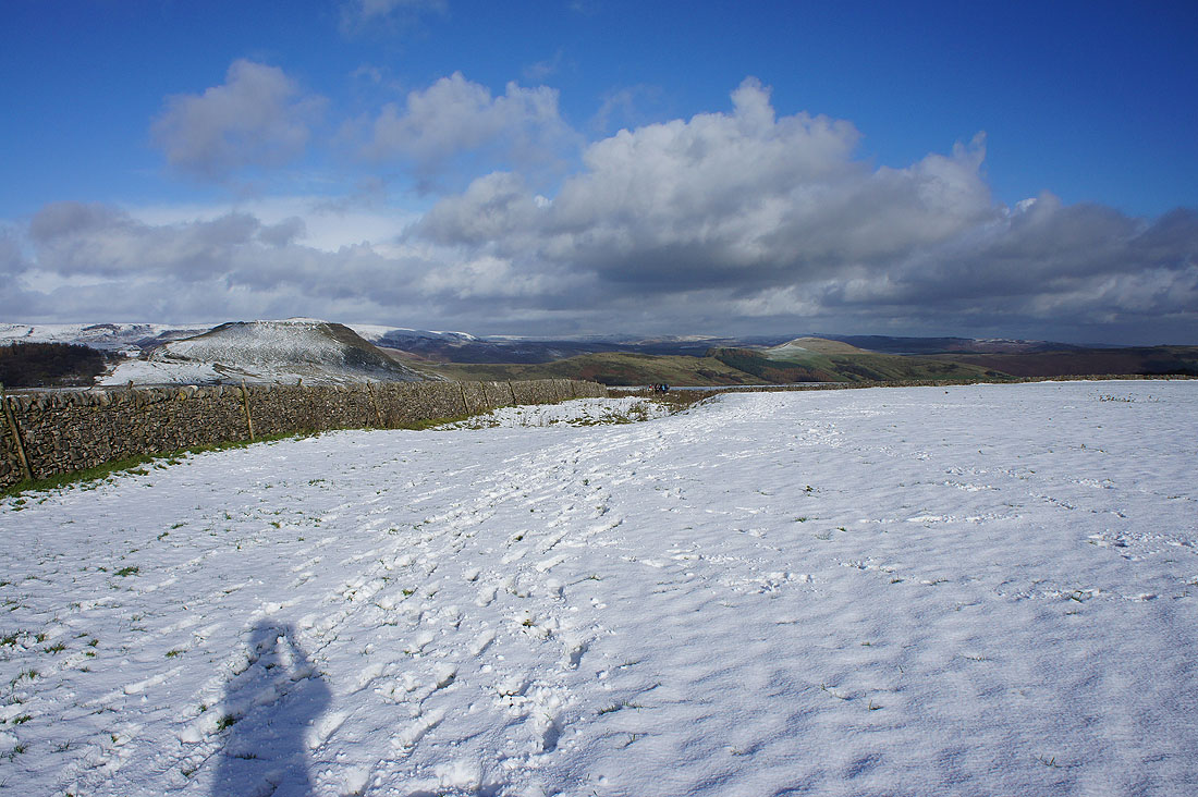
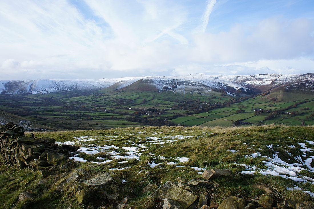
There's a real contrast between the fields of the snow covered moor where I am and the snowless hills in the distance
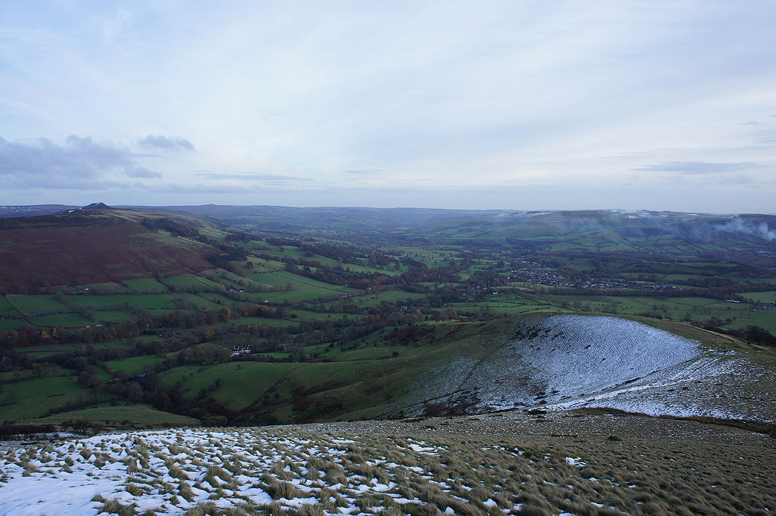
I liked this view towards Rowter Farm with the tussocks of grass poking through the snow
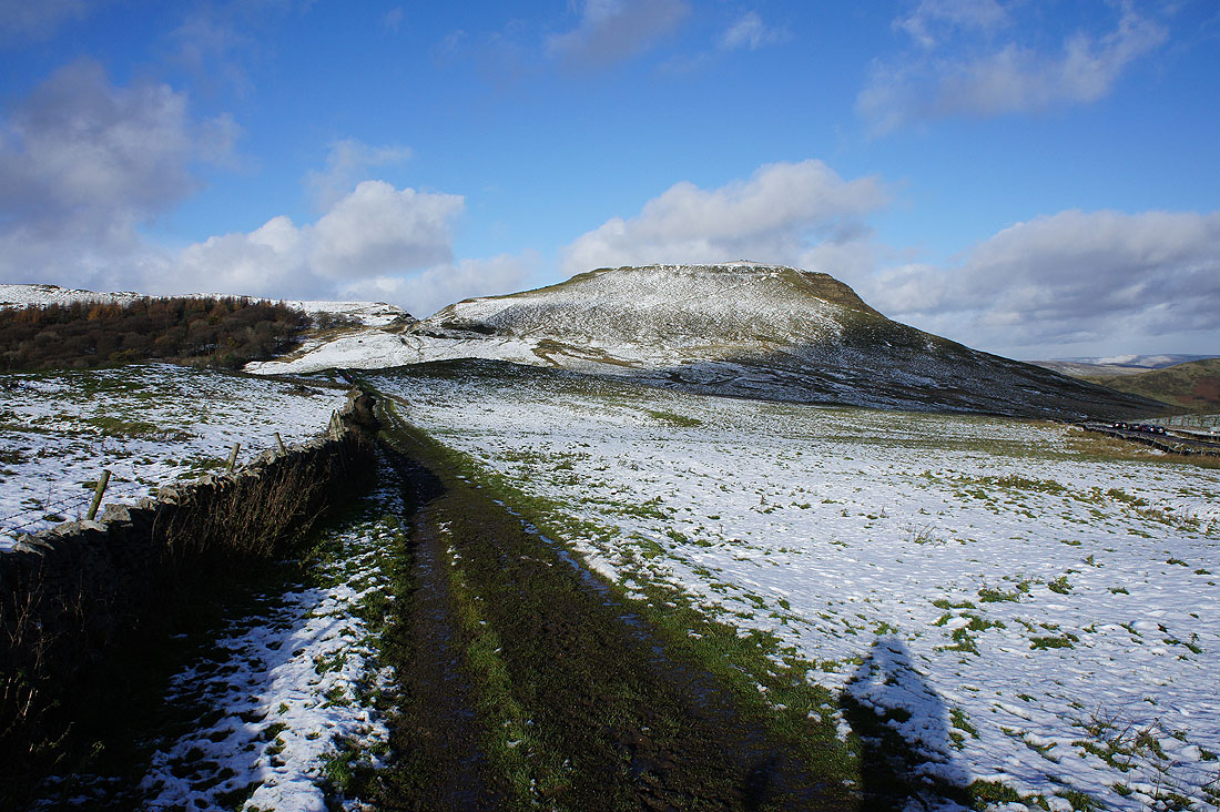
Approaching Mam Tor
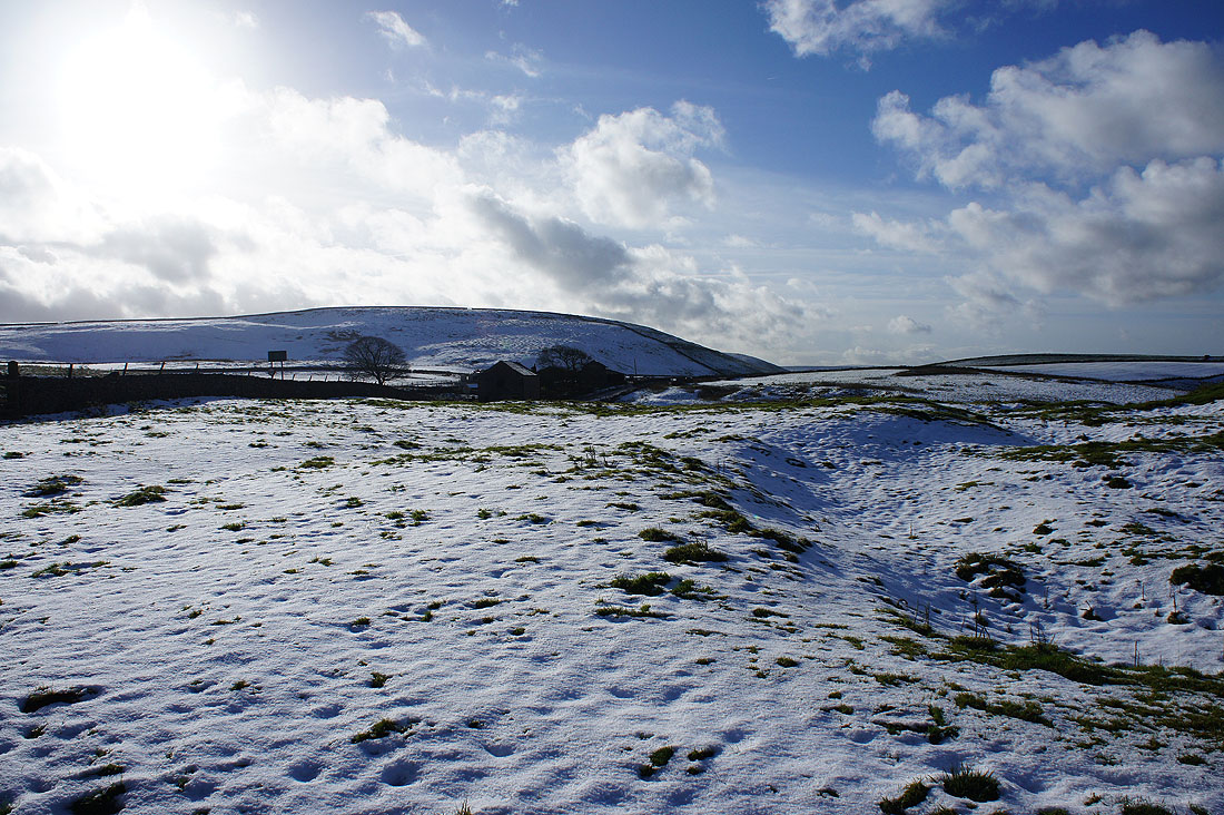
Oxlow House set against a snowy hillside
Lose Hill and Win Hill just before..
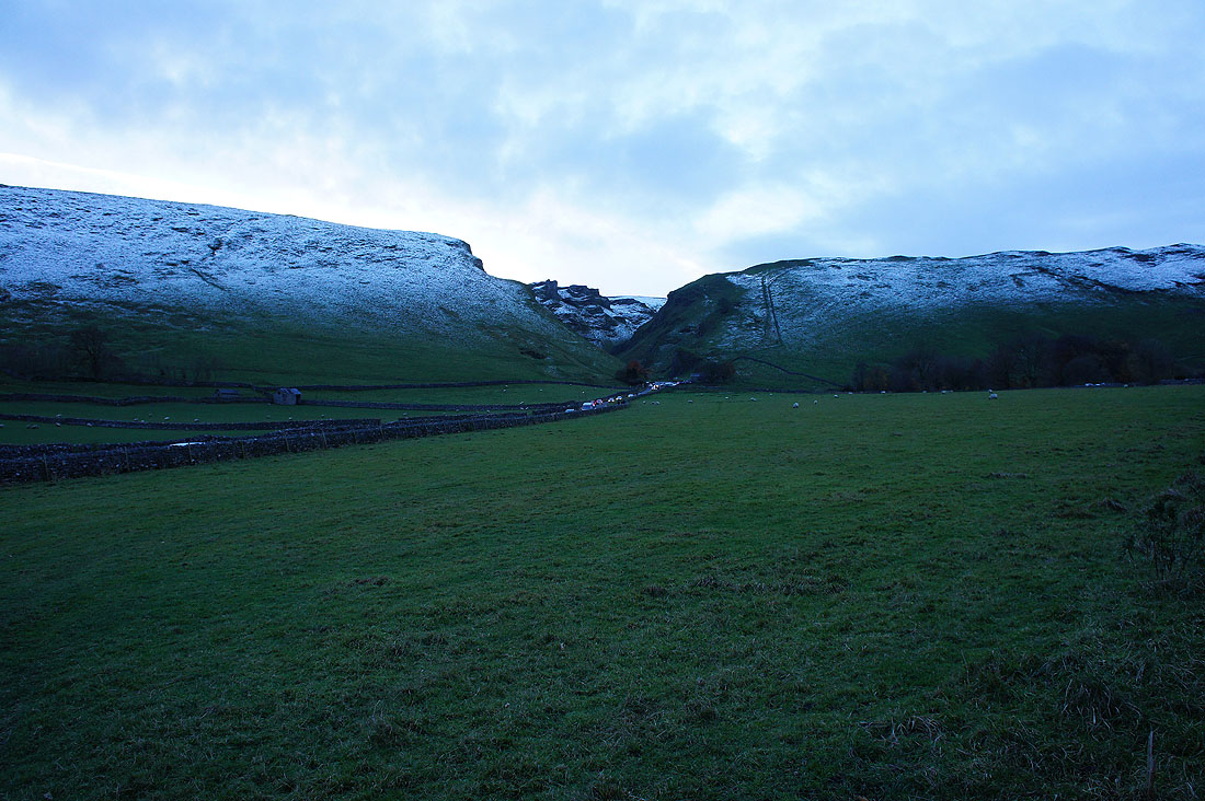
..I cross the road to the Winnats Pass
Snowy fields around Winnats Pass as I head up Mam Tor
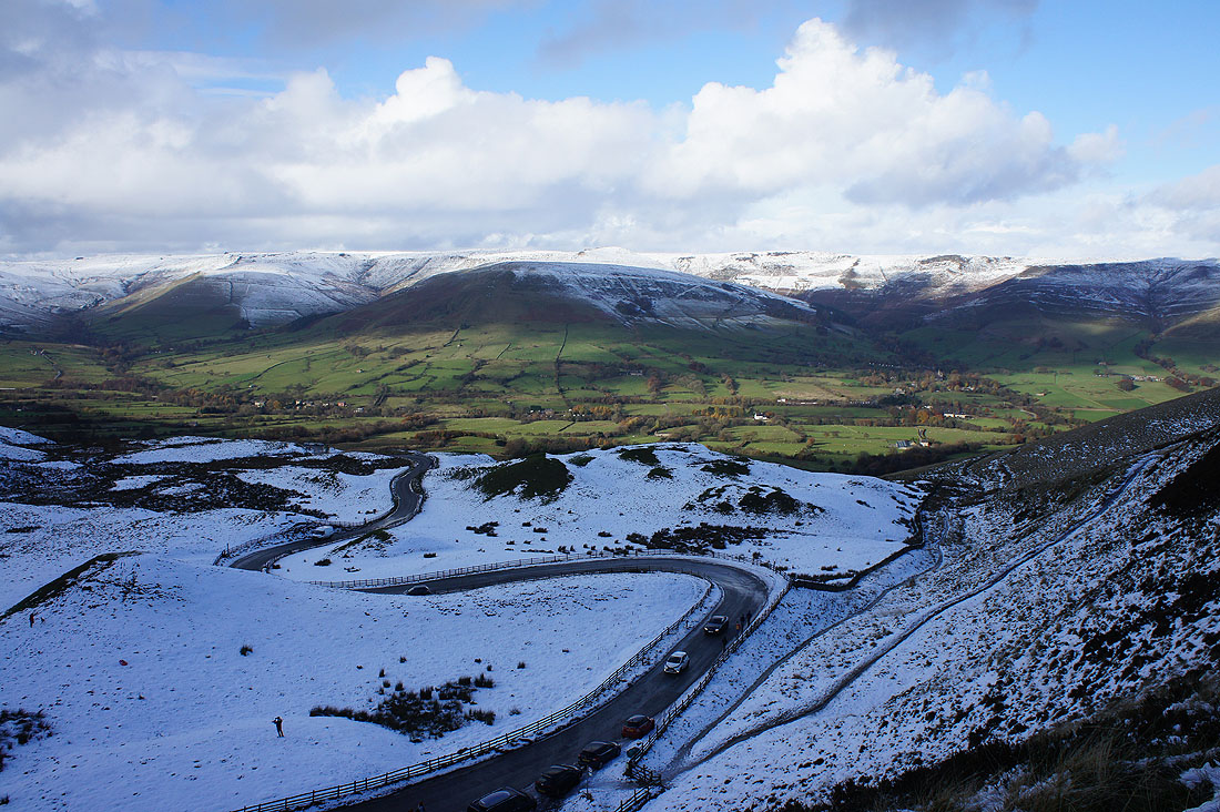
Moments later I can see the road to Edale below and across to Kinder Scout
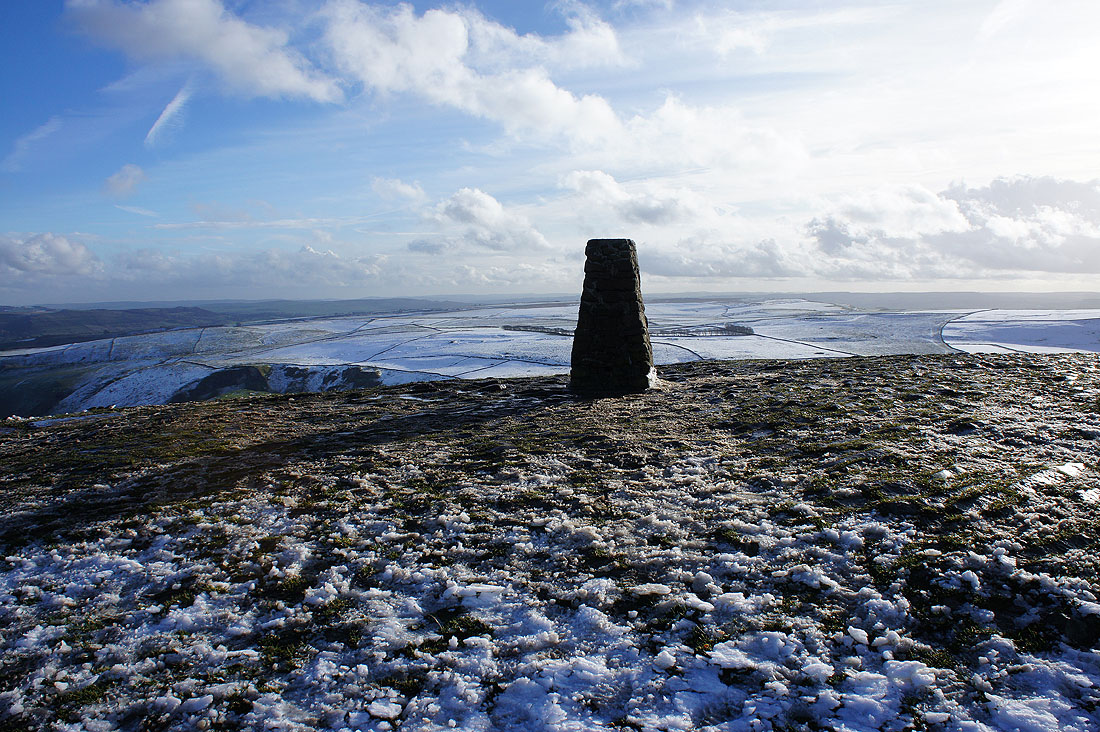
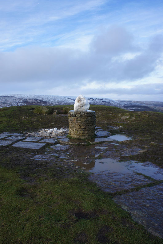
A briefly unoccupied trig point on the summit of Mam Tor. Despite the cold and windy weather it was still busy.
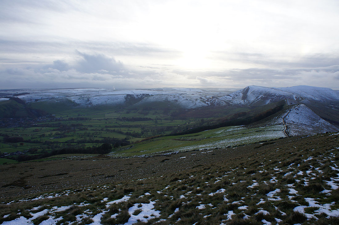
The view from Mam Tor. To the west, Rushup Edge and its summit Lord's Seat.
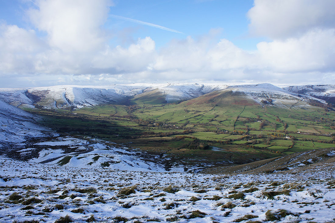
Brown Knoll, the head of Edale and the western half of Kinder Scout
Grindslow Knoll, Upper Tor, Nether Tor, Ringing Roger and the village of Edale
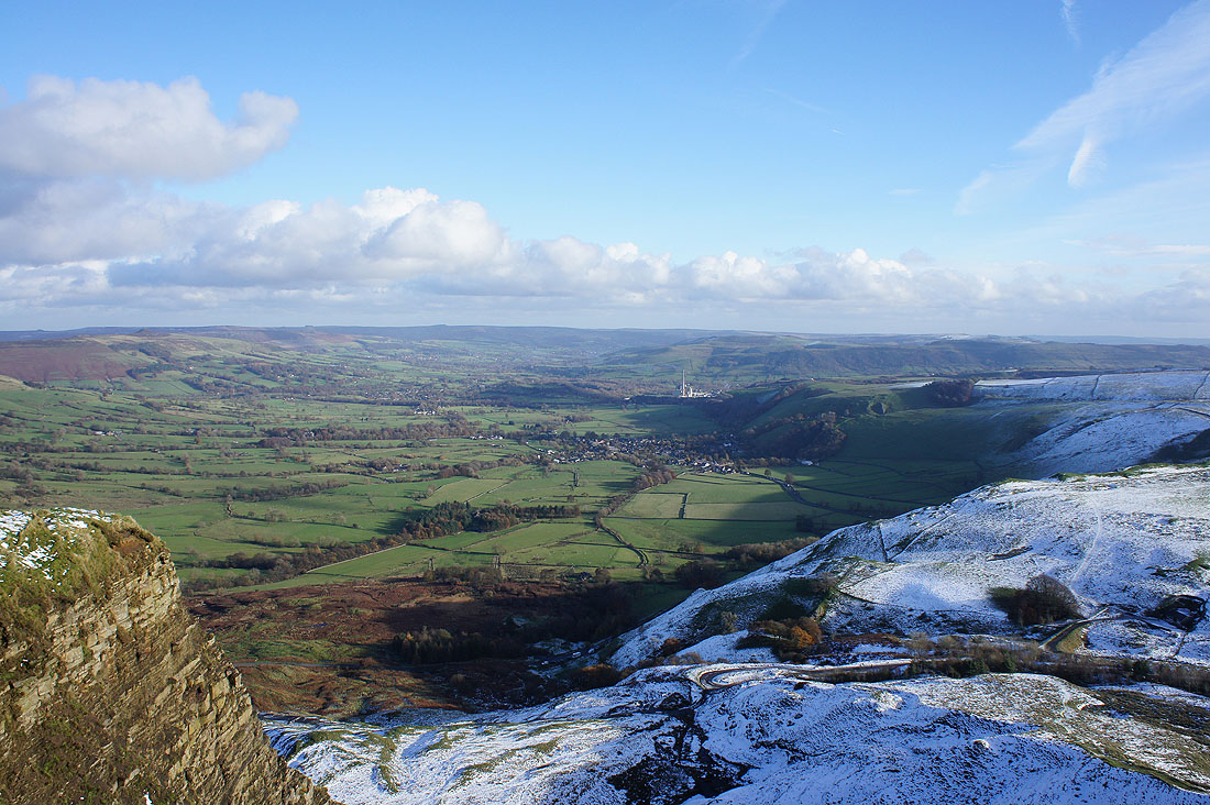
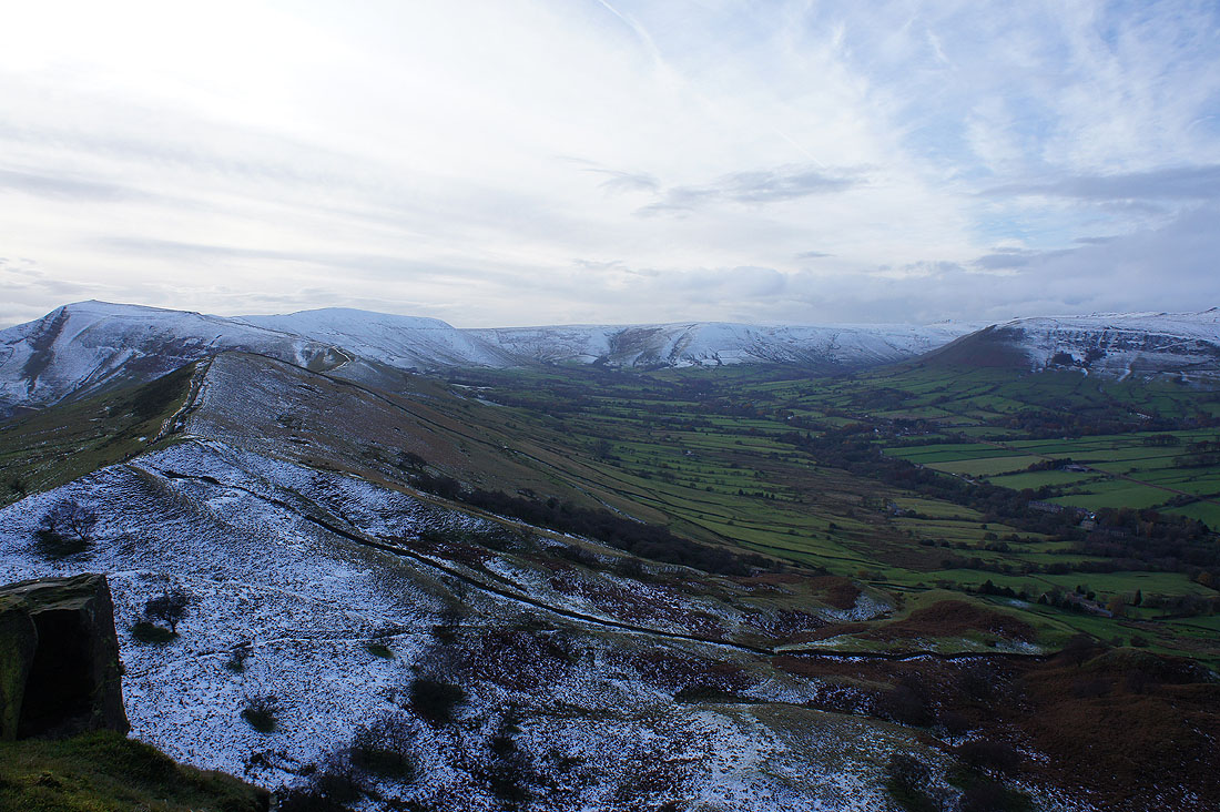
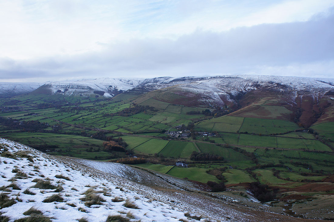
Castleton and the Hope Valley from the top of the landslip
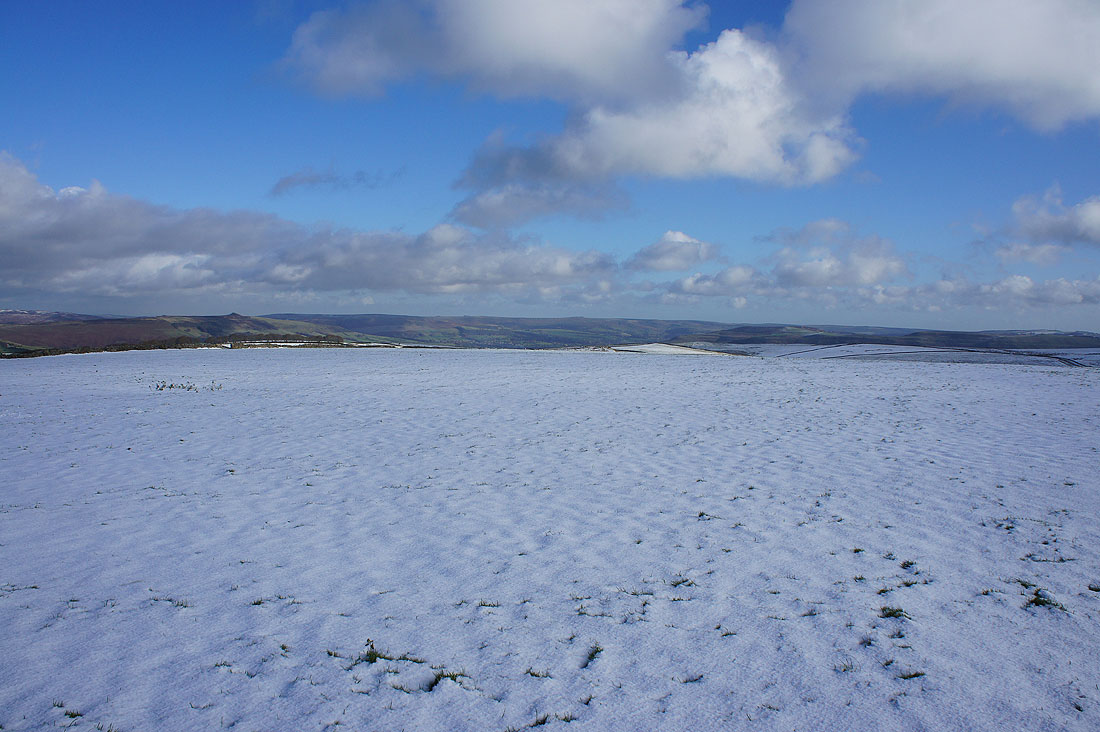
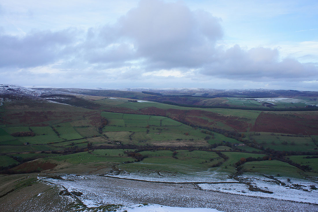
Axe Edge Moor way in the distance to the southwest
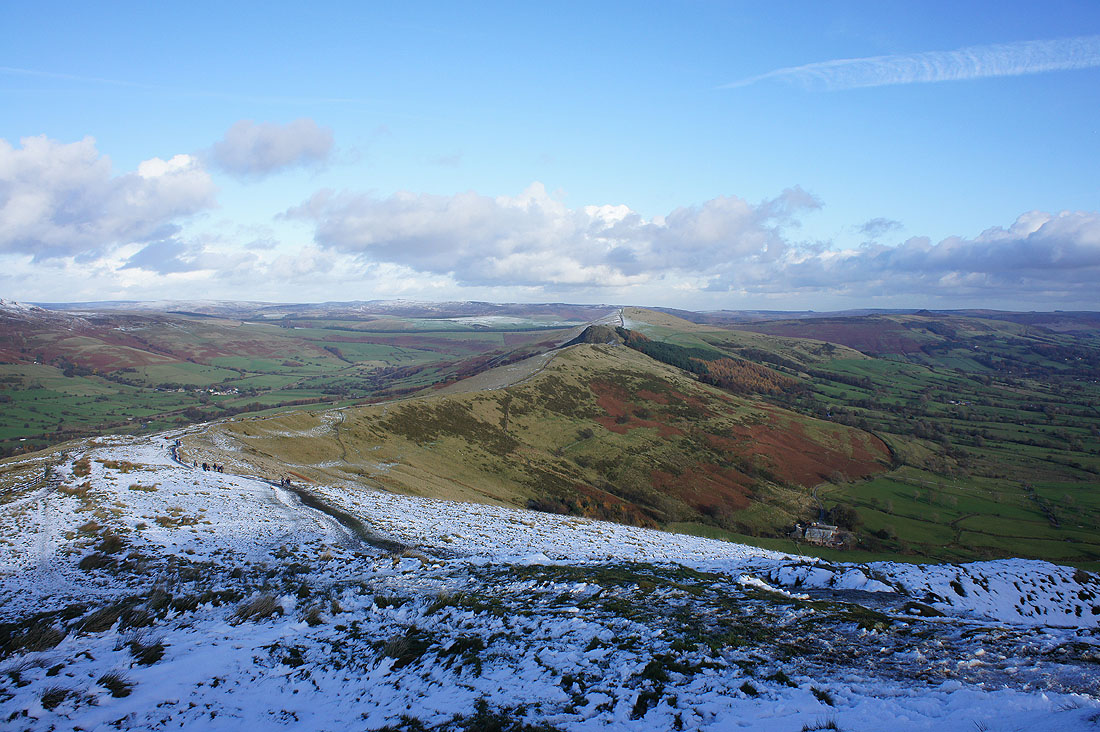
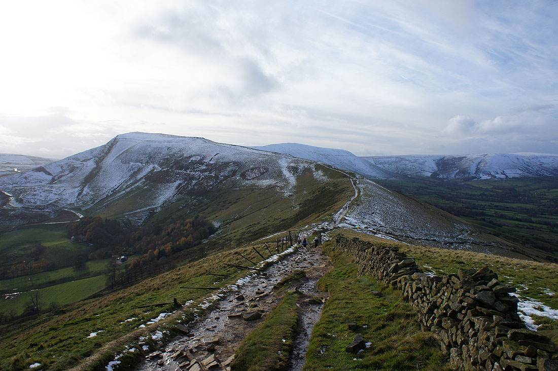
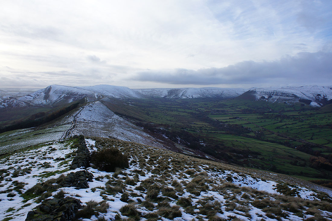
The Great Ridge heads for Lose Hill
As I left Mam Tor I thought that I'd take a couple of photos with snow covered grass in the foreground. Brown Knoll and Kinder Scout.
and the Hope Valley
On the paved path to Hollins Cross
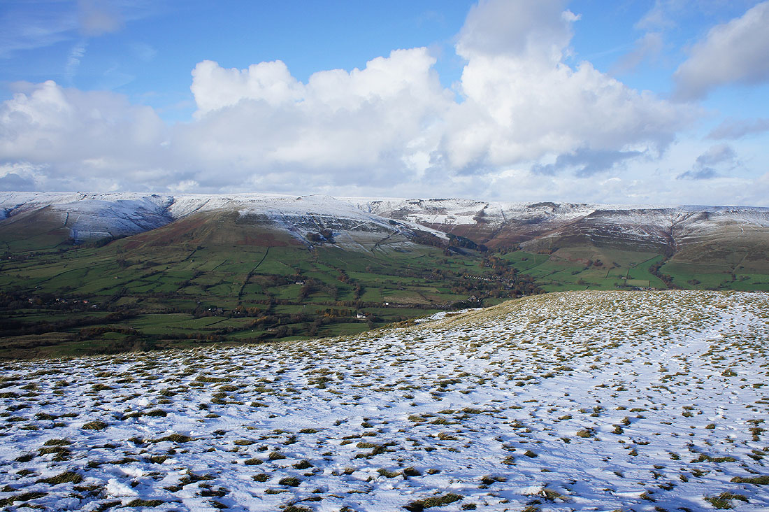
Edale and Grindslow Knoll from Hollins Cross
Looking back to Mam Tor
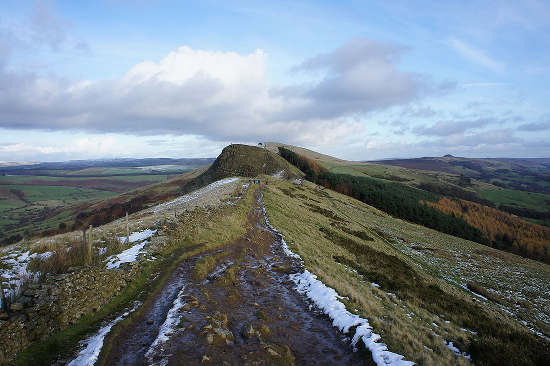
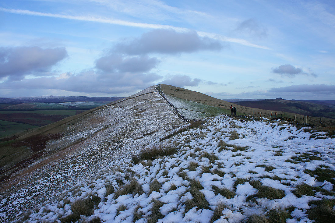
On Barker Bank with Back Tor ahead
Back Tor
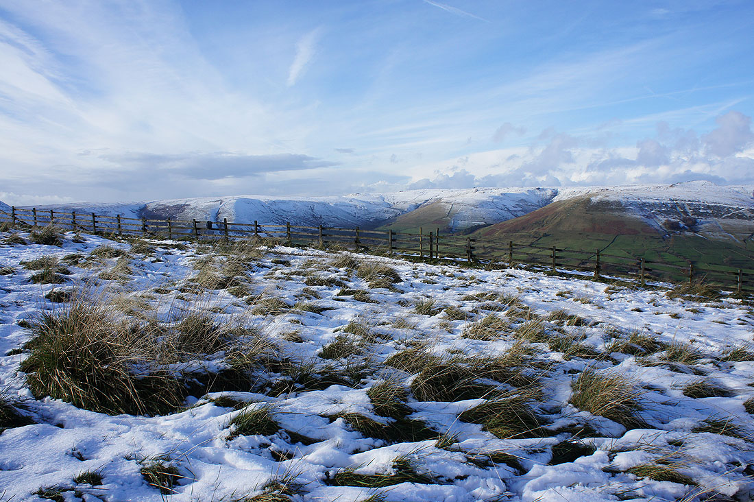
Mam Tor, Lord's Seat, Brown Knoll and the Vale of Edale from Back Tor
Lose Hill to come
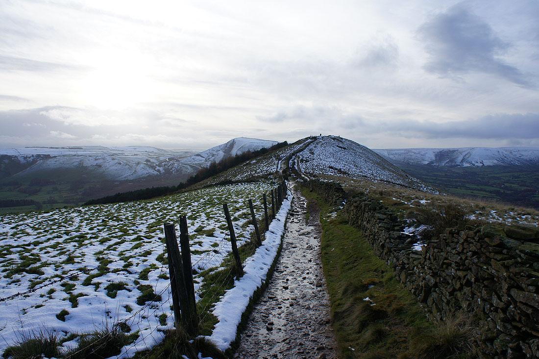
Looking back to Back Tor with Mam Tor behind. The sunshine is turning increasingly hazy with thickening cloud.
On the summit of Lose Hill with its toposcope
The great all round view from Lose Hill. The Great Ridge to Mam Tor, Lord's Seat, Brown Knoll and the Vale of Edale.
The southern slopes of Kinder Scout
The Howden Moors and the Back Tor of Derwent Edge in the distance
Win Hill on the other side of the Hope Valley
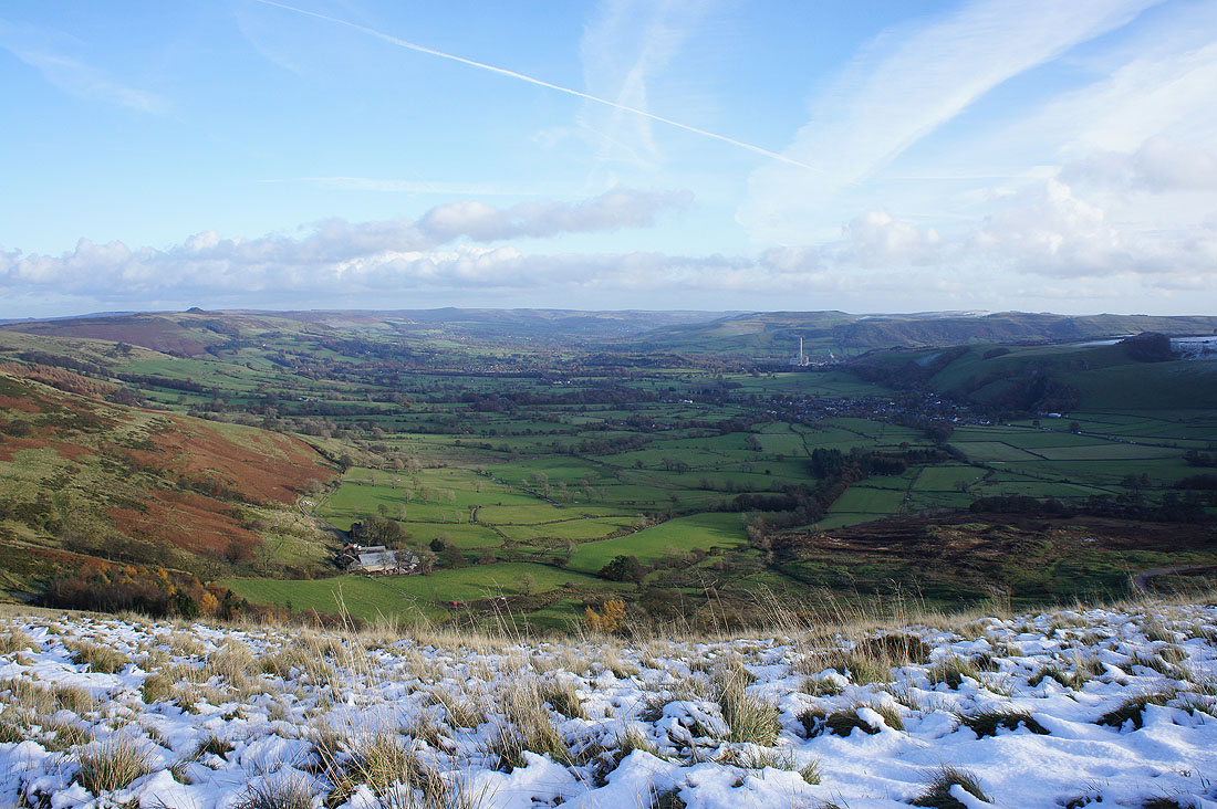
Win Hill, the Hope Valley and the village of Hope
Castleton, the head of the Hope Valley, the Winnats Pass and Mam Tor
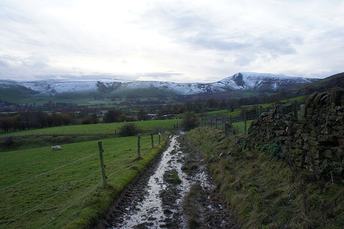
On the path to Riding House Farm and heading back to Castleton
Castleton across the fields
Back Tor and Lose Hill
A dark and gloomy Winnats Pass as I make it back to where I'm parked