19th November 2017 - Great Whernside
Walk Details
Distance walked: 9.0 miles
Total ascent: 2079 ft
OS map used: OL30 - Yorkshire Dales, Northern & Central areas
Time taken: 5.5 hrs
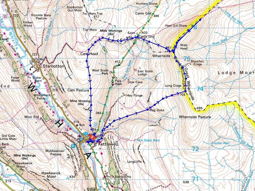
Route description: Kettlewell-Hag Dyke-Great Whernside-Blackfell Top-Nidd Head-Black Dike-Hunters Sleets-Starbotton Road-Top Mere Road-Kettlewell
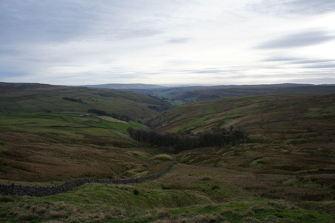
My set of Yorkshire Dales walks continues with today's destination being Great Whernside. My last visit to this fell was in January when it was covered in snow. None of that today but there was some beautiful autumn weather to be had with clear, sunny skies, excellent visibility and light winds, even on the tops. The forecast was for cloud to increase into the afternoon and a breeze to pick up. With this in mind I did the ascent of Great Whernside from Kettlewell first so that I could make the most of the best of the weather. I wasn't disappointed. The conditions on the summit were fantastic with a beautiful light for photography. I spent a good hour slowly making my way along the summit ridge to Blackfell Top before picking up the pace for my return to Kettlewell. While I was up there I decided to walk a part of the way along the ridge towards Little Whernside. I had the time and I'd never walked it before.
From the National Park car park I walked through the village and onto the path for the scout hostel of Hag Dyke and Great Whernside. Once I'd made it to the scout hostel I carried on up the path to the summit of Great Whernside. I took my time making my way north to Blackfell Top, having my lunch along the way. Before heading down to the road across to Coverdale at Hunters Sleets I walked part of the way along the ridge to Little Whernside. Once down I crossed the road for the path along Tor Dike, and then the bridleways of Starbotton Road and Top Mere Road took me back to Kettlewell.
Total ascent: 2079 ft
OS map used: OL30 - Yorkshire Dales, Northern & Central areas
Time taken: 5.5 hrs
Route description: Kettlewell-Hag Dyke-Great Whernside-Blackfell Top-Nidd Head-Black Dike-Hunters Sleets-Starbotton Road-Top Mere Road-Kettlewell
My set of Yorkshire Dales walks continues with today's destination being Great Whernside. My last visit to this fell was in January when it was covered in snow. None of that today but there was some beautiful autumn weather to be had with clear, sunny skies, excellent visibility and light winds, even on the tops. The forecast was for cloud to increase into the afternoon and a breeze to pick up. With this in mind I did the ascent of Great Whernside from Kettlewell first so that I could make the most of the best of the weather. I wasn't disappointed. The conditions on the summit were fantastic with a beautiful light for photography. I spent a good hour slowly making my way along the summit ridge to Blackfell Top before picking up the pace for my return to Kettlewell. While I was up there I decided to walk a part of the way along the ridge towards Little Whernside. I had the time and I'd never walked it before.
From the National Park car park I walked through the village and onto the path for the scout hostel of Hag Dyke and Great Whernside. Once I'd made it to the scout hostel I carried on up the path to the summit of Great Whernside. I took my time making my way north to Blackfell Top, having my lunch along the way. Before heading down to the road across to Coverdale at Hunters Sleets I walked part of the way along the ridge to Little Whernside. Once down I crossed the road for the path along Tor Dike, and then the bridleways of Starbotton Road and Top Mere Road took me back to Kettlewell.
Route map
© Crown copyright. All rights reserved. License number PU 100034184.
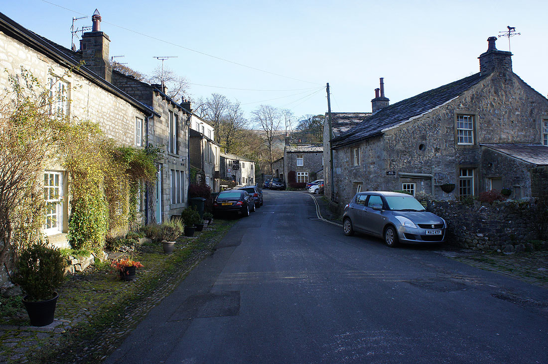
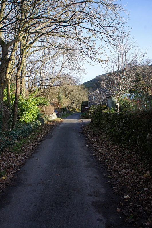
It's a cold, sunny and frosty start as I set off from Kettlewell..
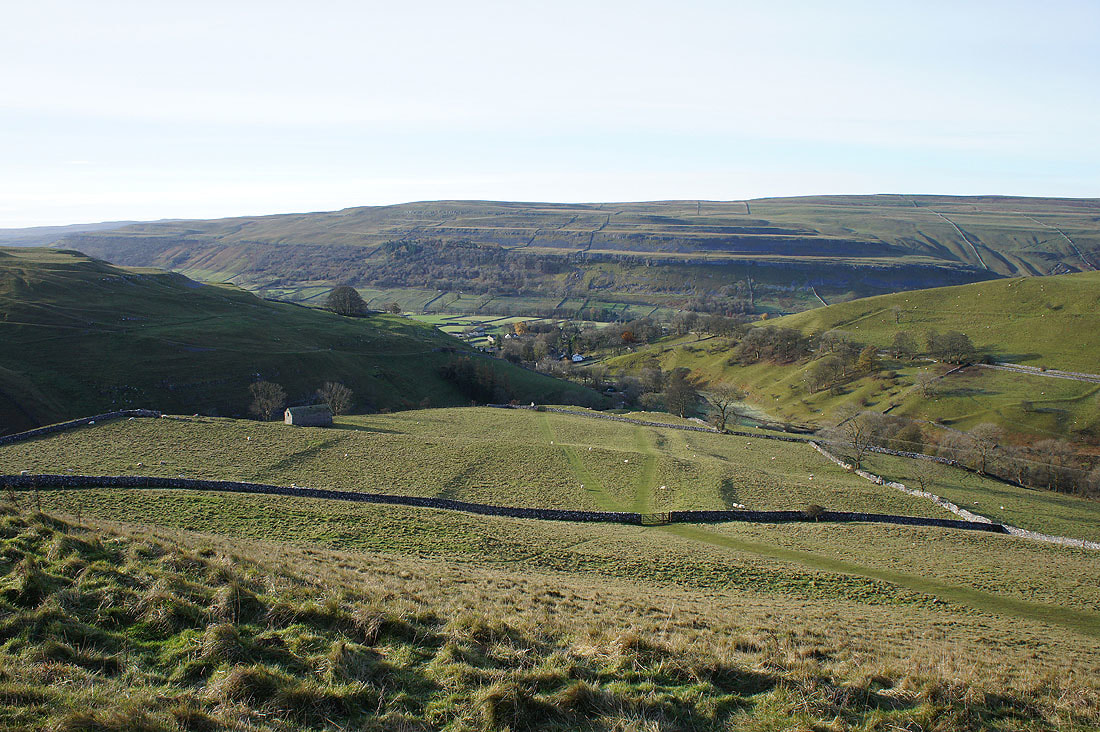
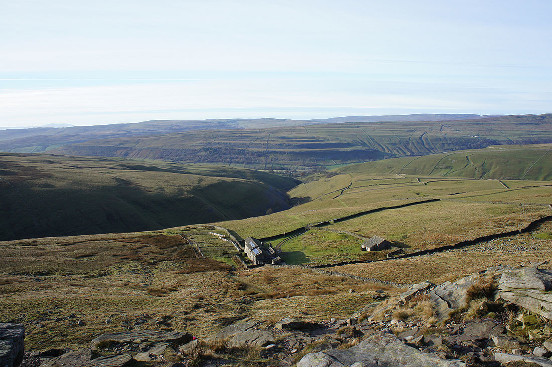
Looking back down on Kettlewell..
..as I continue my ascent of Great Whernside. I can already see the summit.
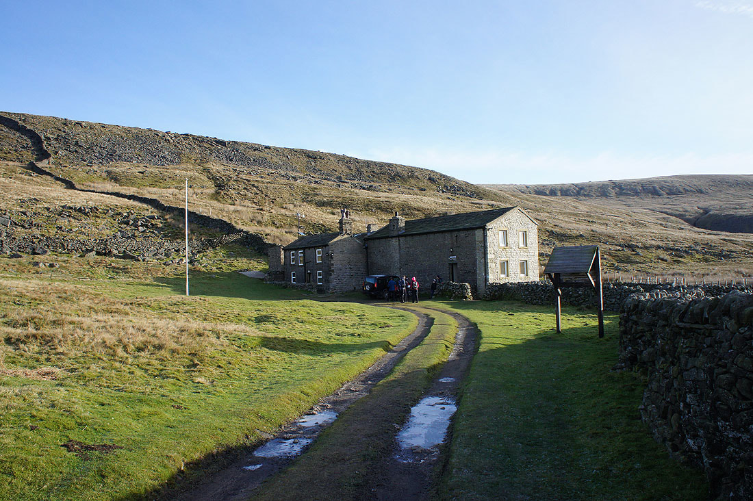
The Hag Dyke Scout Hostel. A group of scouts and their leaders are about to set off and would follow me to the summit before returning by the same route. They've picked a good morning for it.
Looking back down on the hostel
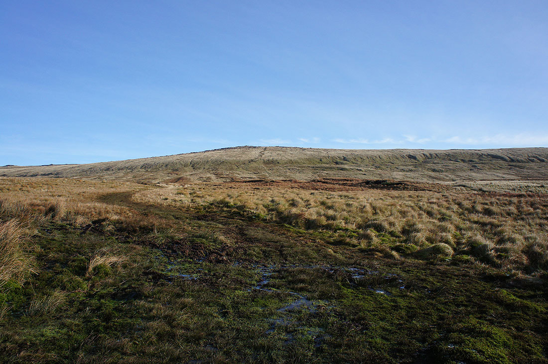
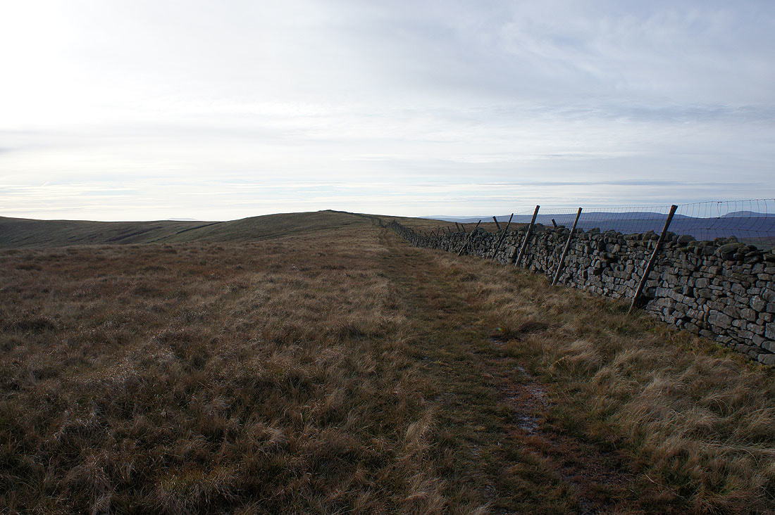
Onwards and upwards
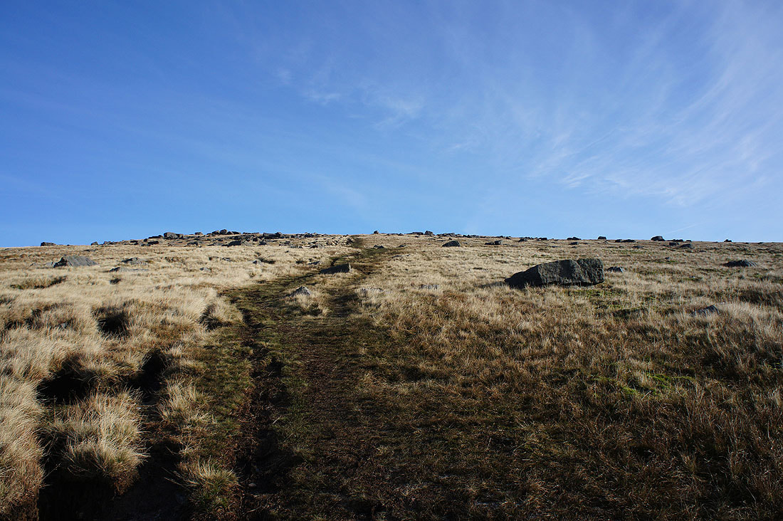
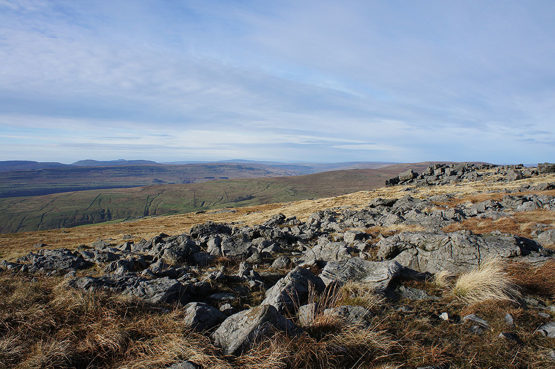
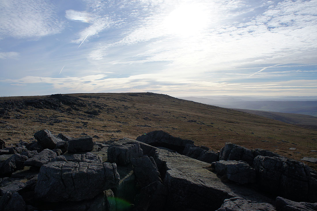
An increase in the number of boulders is a sure sign that the summit isn't far to go
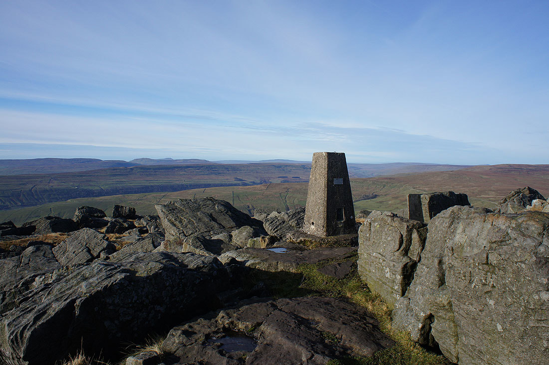
The trig point that marks the summit of Great Whernside. It took a little over an hour to get here after setting off from Kettlewell. I can now relax and take my time enjoying the fantastic views that there are this morning.
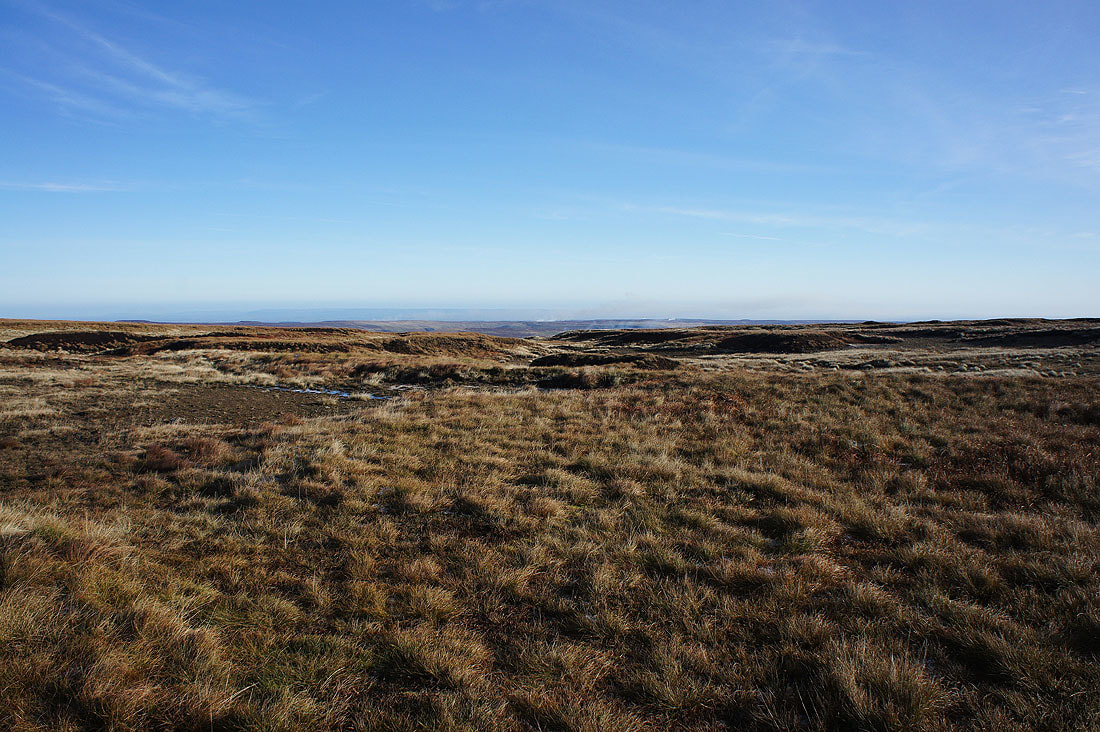
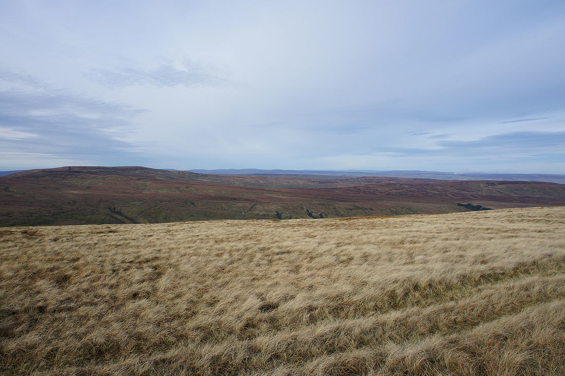
To the east, the moors around Nidderdale. The smoke is from heather being burnt. It will appear in a number of the photos that I took.
To the south, the moors further down Wharfedale
In the distance to the southwest is Pendle Hill, like an island surrounded by mist
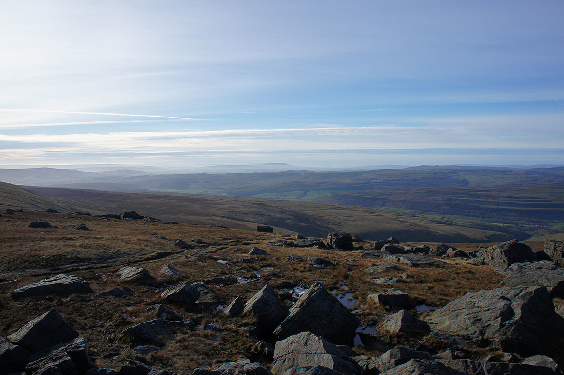
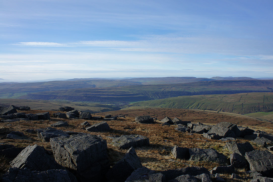
Penyghent, Ingleborough between it and Plover Hill, Whernside and Buckden Pike
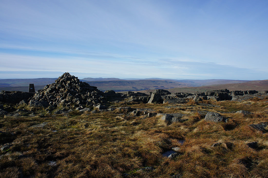
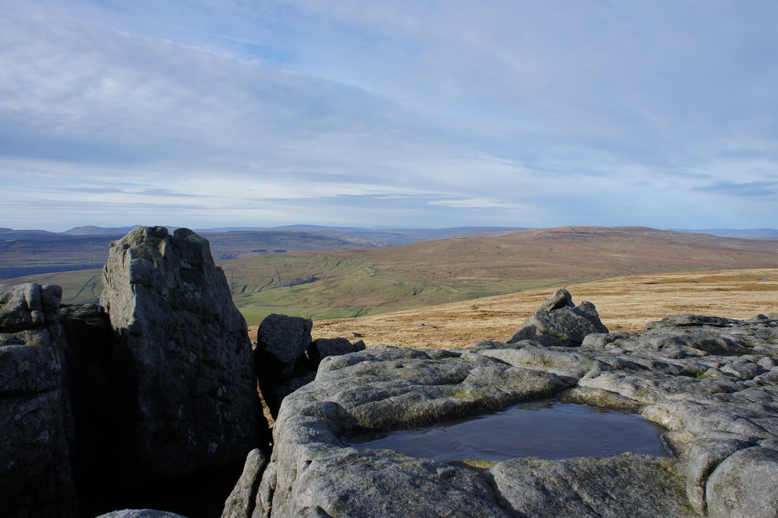
Stepping back from the trig point and large cairn to get some moorland grass in the foreground
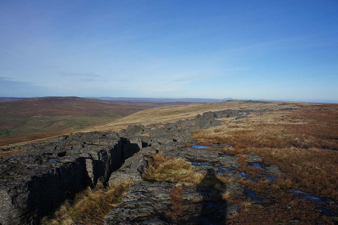
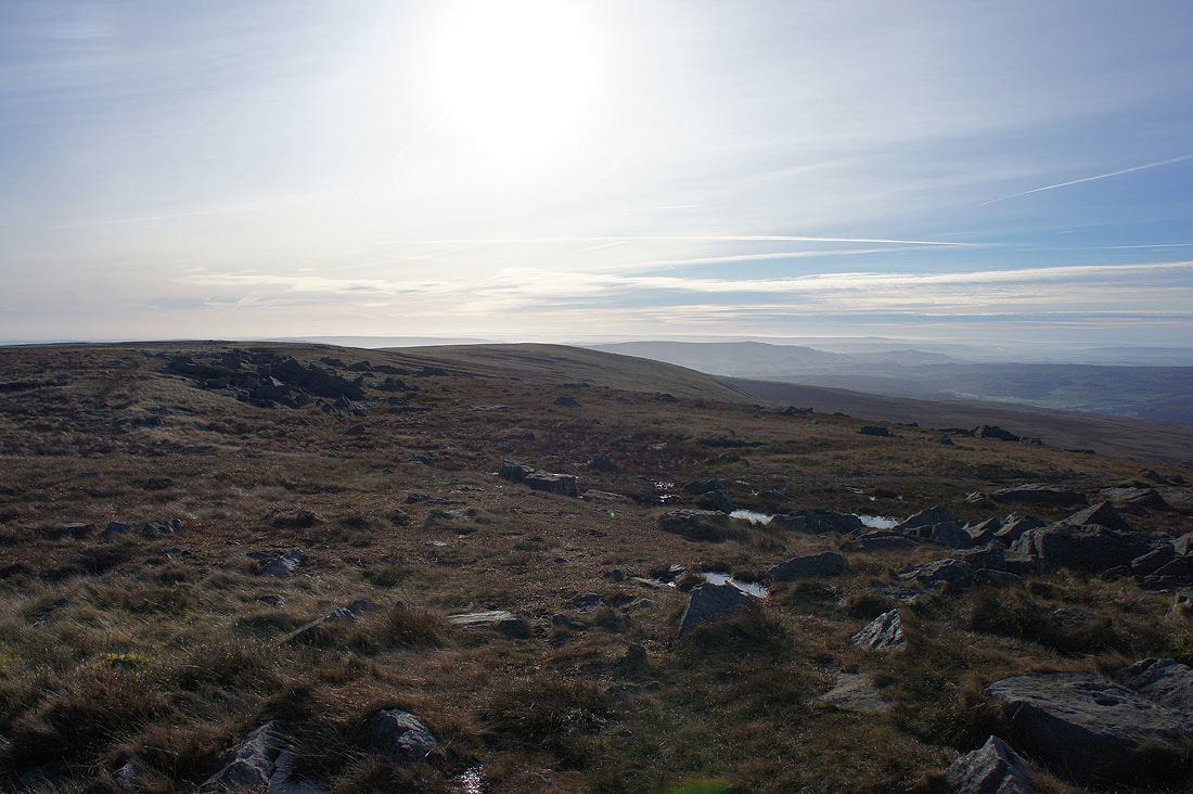
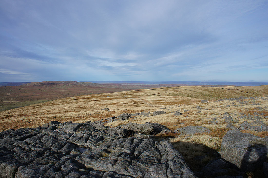
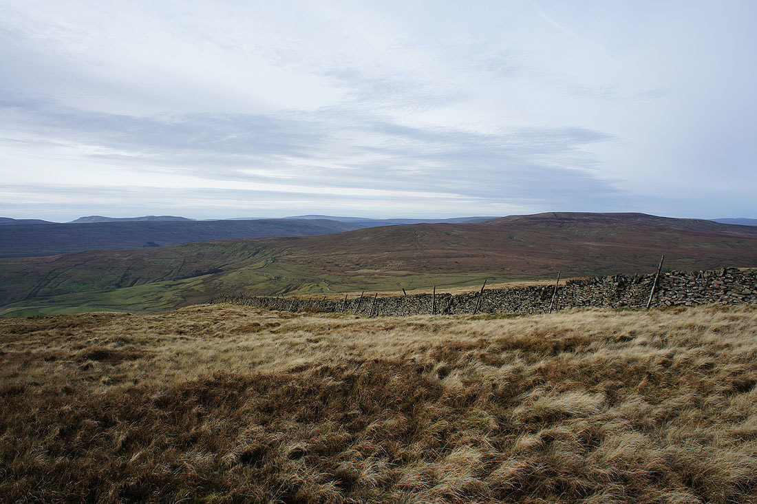
Buckden Pike on the left, with the moors in the distance being those around Wensleydale and Swaledale. I'm now going to slowly make my way along the edge of the moor to Blackfell Top on the right.
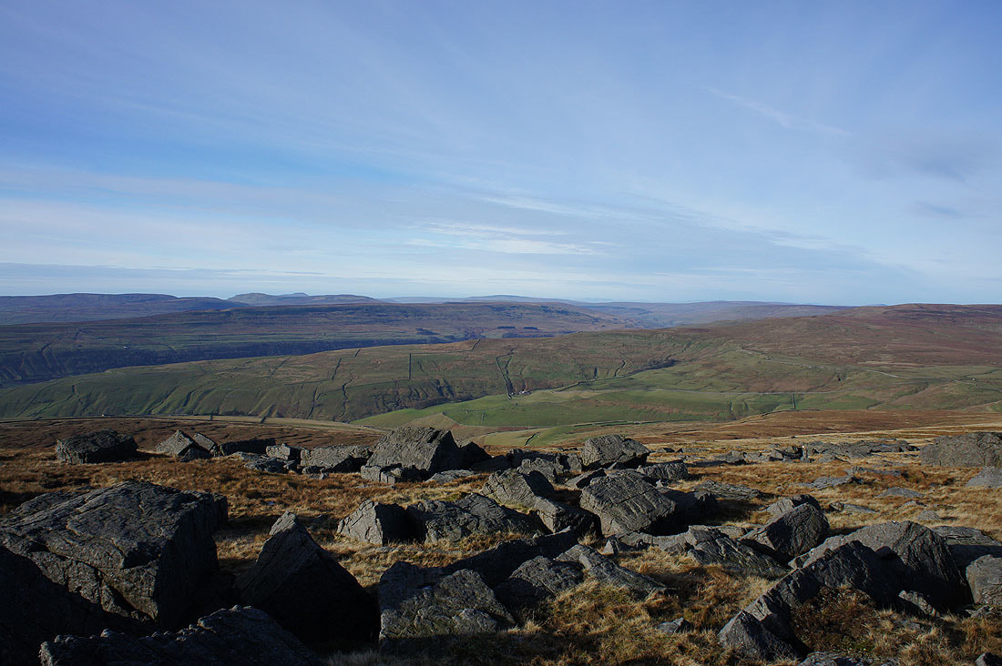
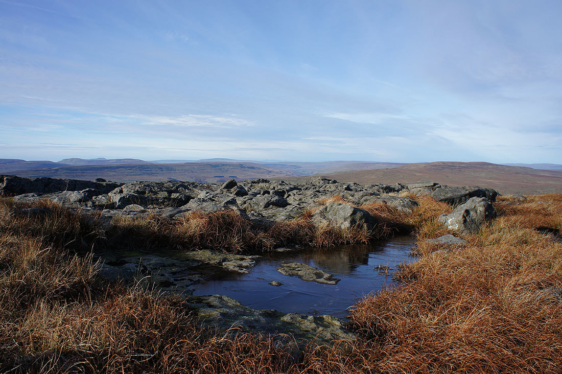
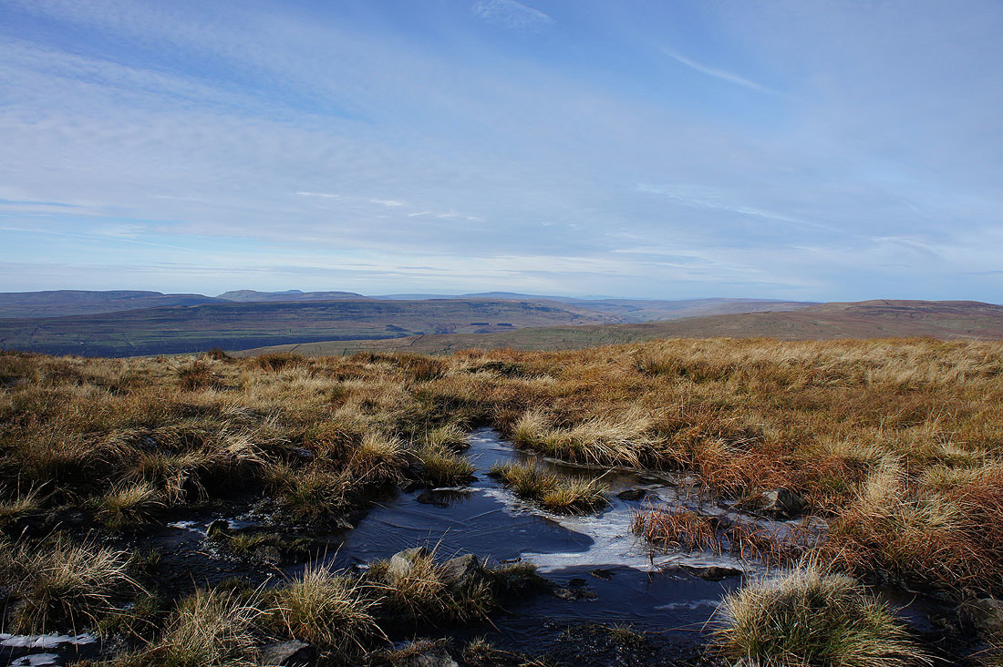
I took a lot of photos of the view across Wharfedale to Penyghent, Ingleborough, Whernside and Buckden Pike, trying different foregrounds of boulders, ice covered puddles and moorland grass.......
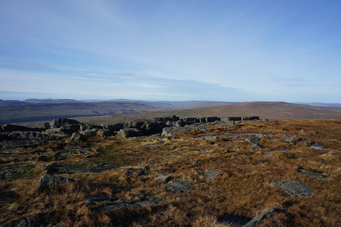
The moors to the north of Malham, and Fountains Fell
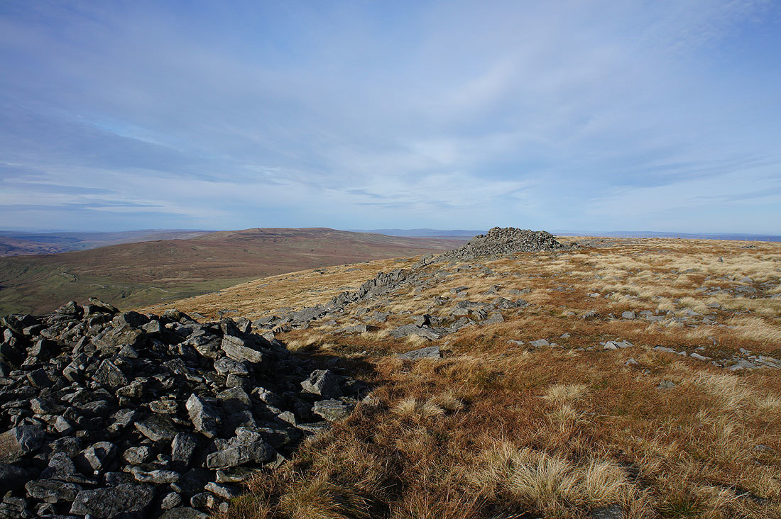
Buckden Pike as I approach the large cairn on Blackfell Top
Looking across Wharfedale to Penyghent, Ingleborough, Plover Hill and Whernside
The ridge to Little Whernside
Looking back to the summit of Great Whernside
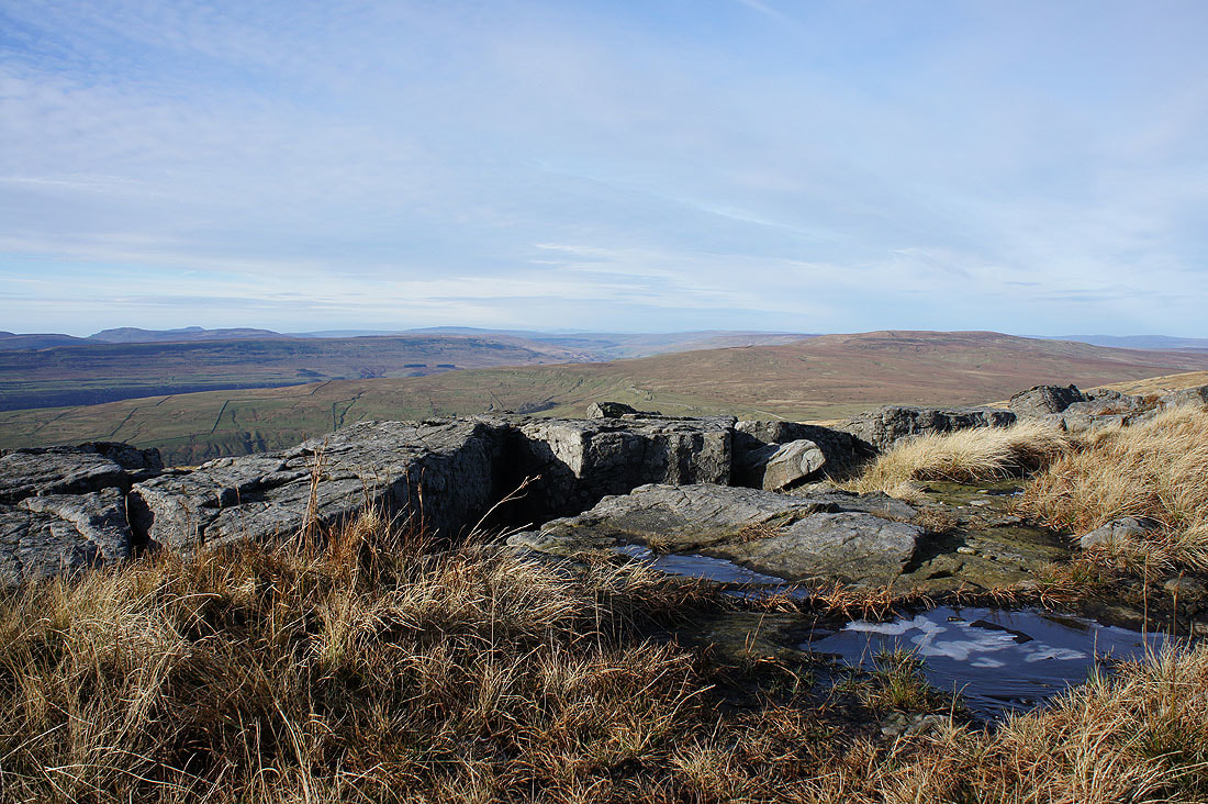
Getting up close with cold rock for this shot
A last photo from Blackfell Top. Looking north with Buckden Pike on the left and the moors around Wensleydale beyond.
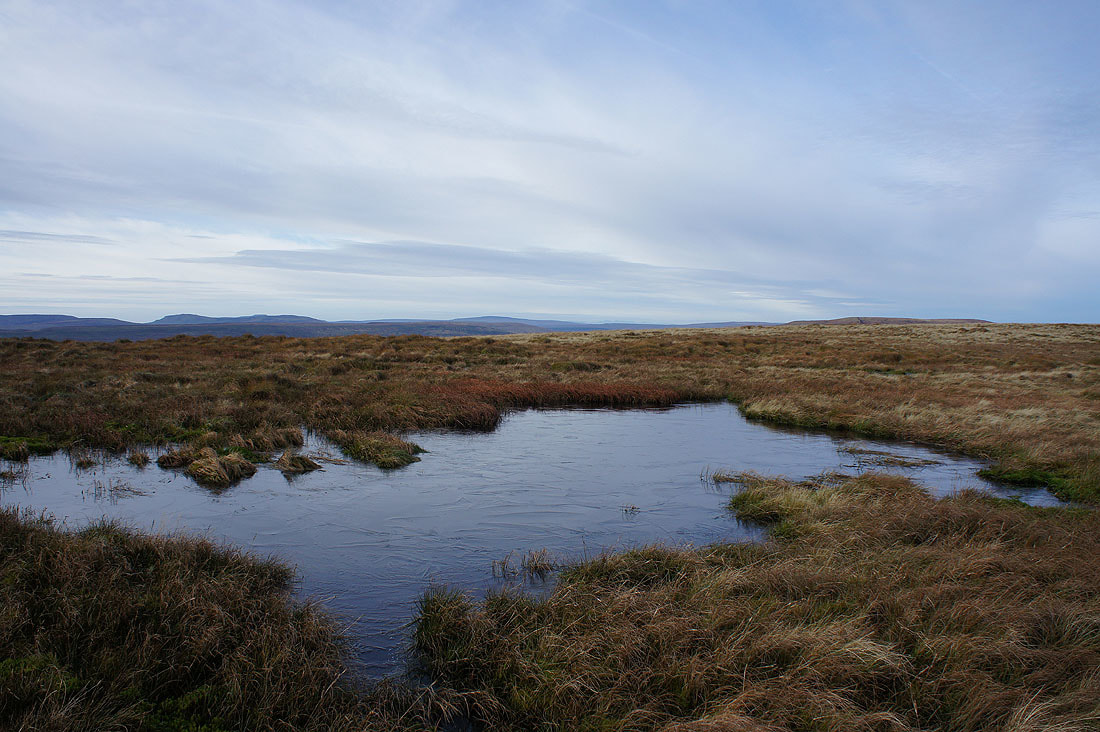
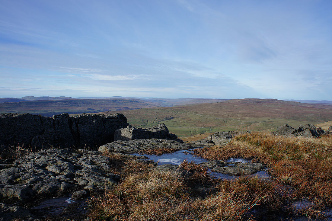
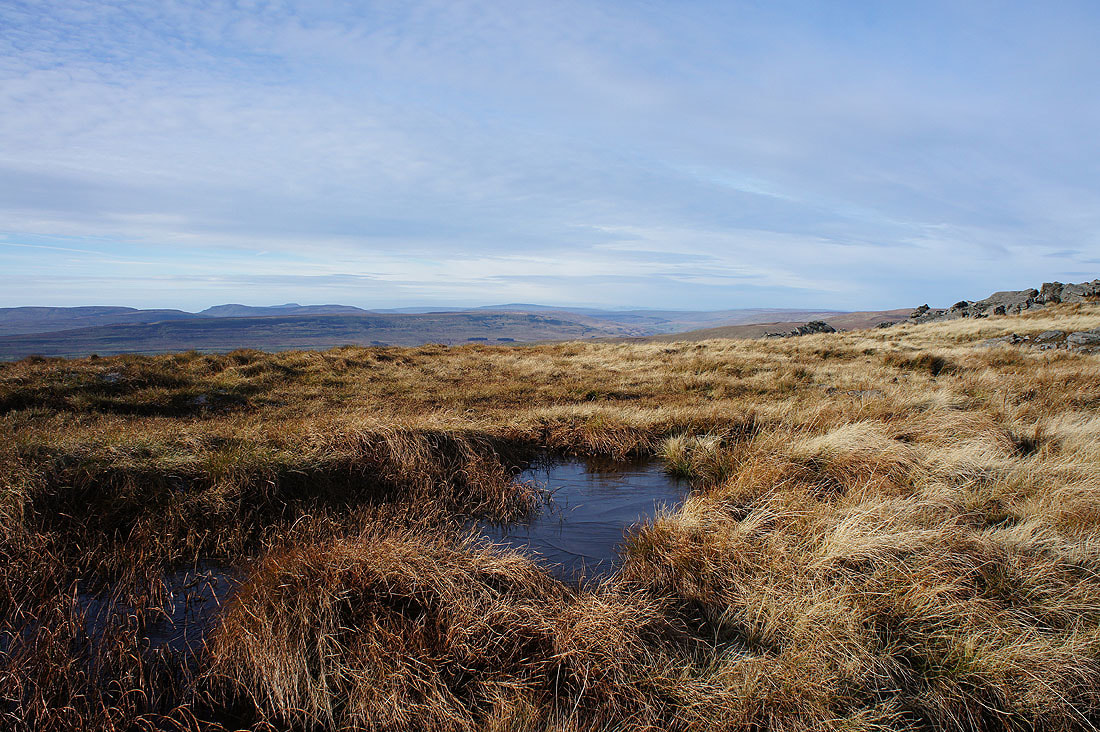
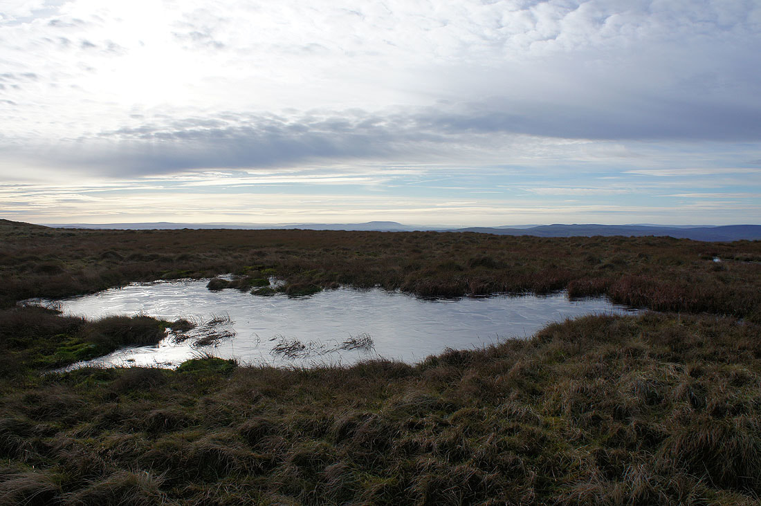
An increase in cloud has brought the sunshine to an end as I pass this frozen pool..
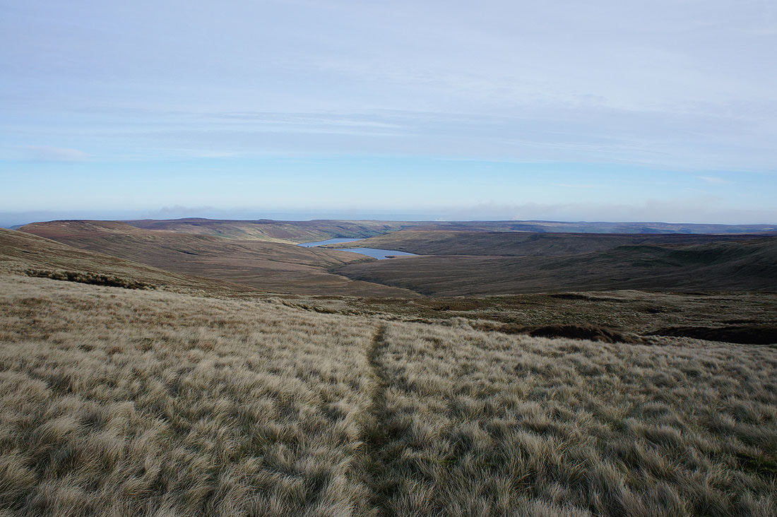
Angram Reservoir, Scar House Reservoir and the top of Nidderdale
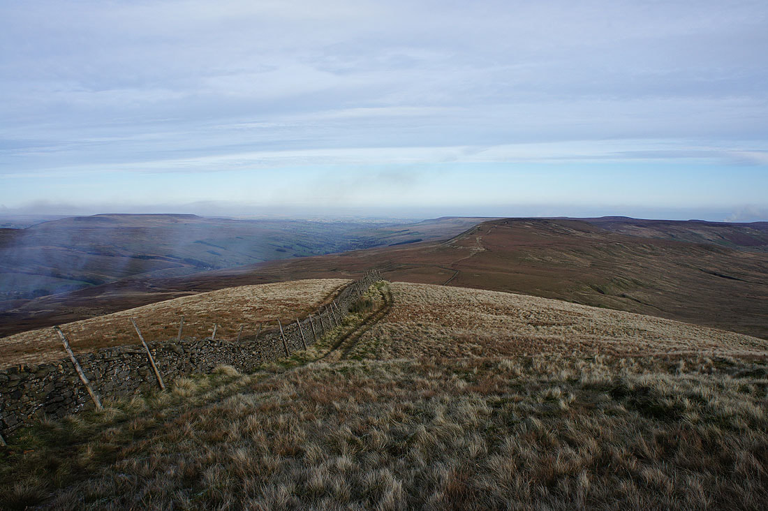
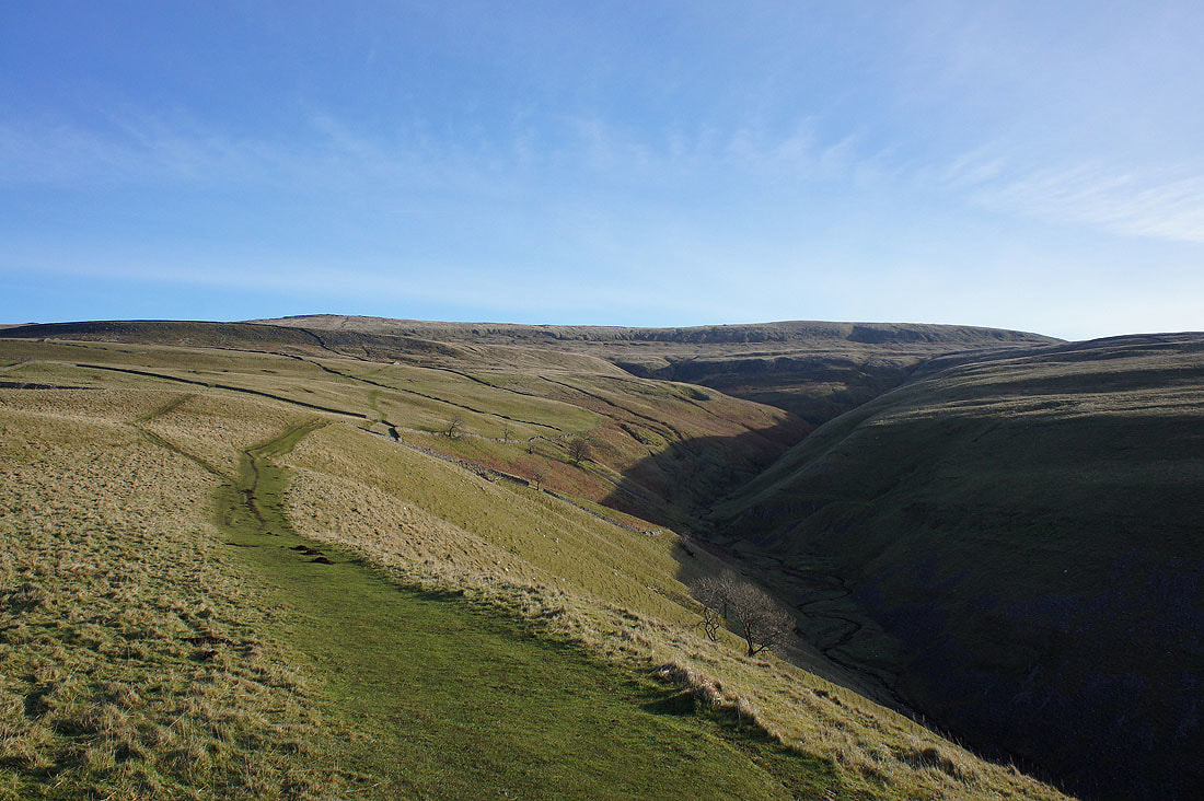
As far along the ridge towards Little Whernside as I decided to go. The valley down on the left is Coverdale.
Scar House Reservoir and Angram Reservoir
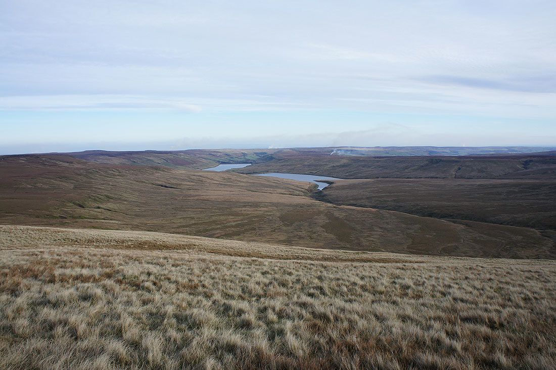
Heading back along the ridge to Nidd Head
Buckden Pike and its eastern slopes

Pendle Hill in the distance
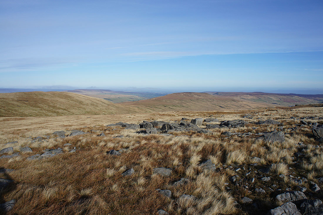
Penyghent, Whernside and Buckden Pike as I make my descent to Hunters Sleets
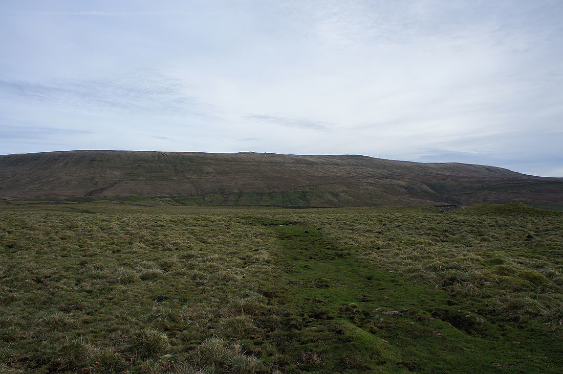
Great Whernside from Hunters Sleets
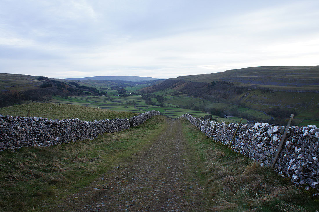
Looking down the valley of Cam Gill Beck
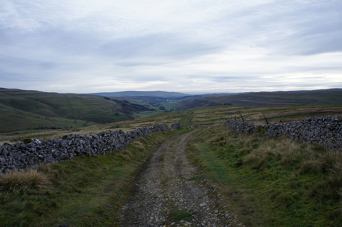
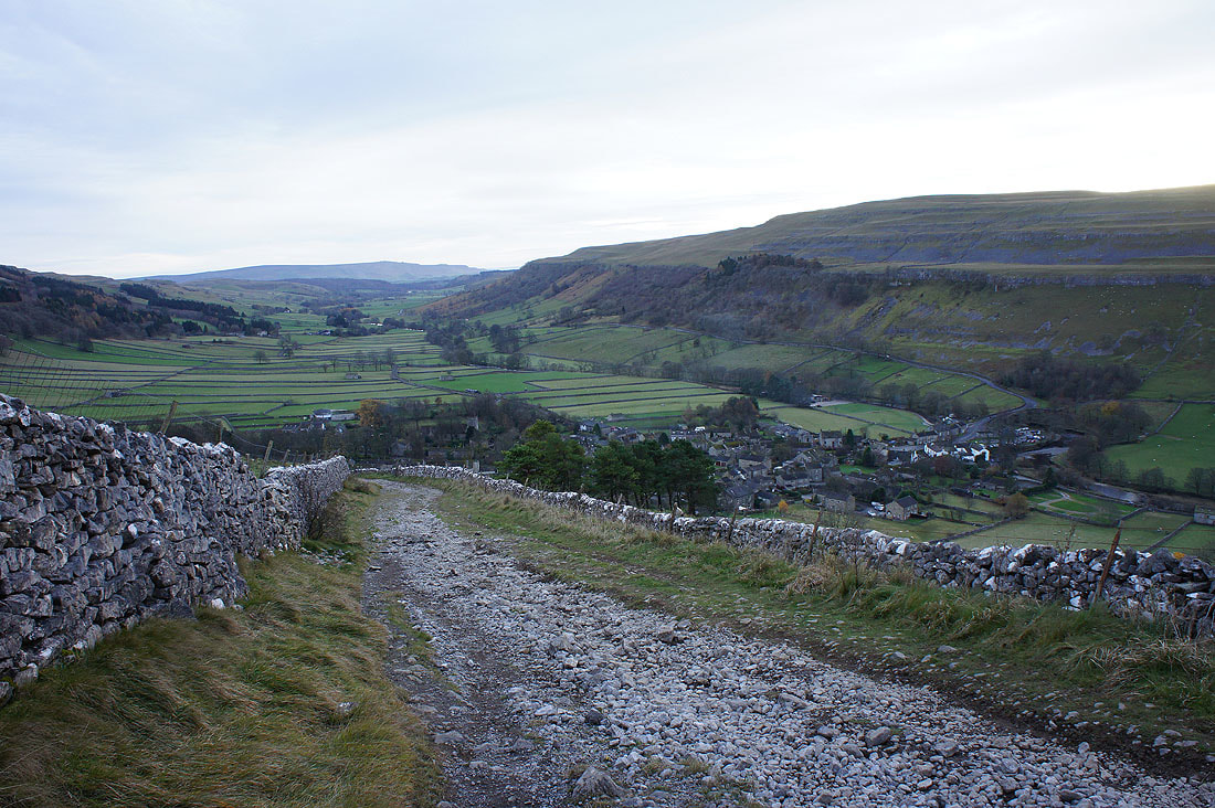
Heading down the bridleway of Top Mere Road back to Kettlewell...