19th November 2022 - Penyghent and Plover Hill
Walk Details
Distance walked: 9.7 miles
Total ascent: 1917 ft
OS map used: OL2 - Yorkshire Dales, Southern & Western areas
Time taken: 5.5 hrs
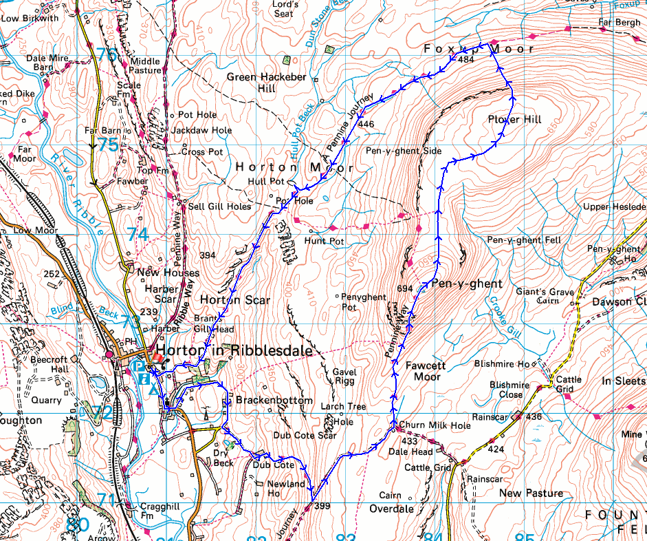
Route description: Horton in Ribblesdale-Brackenbottom-Dub Cote-Long Lane-Pennine Way-Penyghent-Plover Hill-Foxup Moor-Horton Moor-Hull Pot-Pennine Way-Horton in Ribblesdale
I'm not sure what I was thinking when I set off from home this morning to do this walk. It was probably an uncharacteristic bout of optimism making me ignore the forecast of deteriorating weather, and accepting that the bright skies of first thing in the morning would last. There was still some brightness in the skies when I arrived in Horton-in-Ribblesdale and the tops of the fells were free of cloud, but that didn't last. While I was walking up Long Lane to Penyghent drizzle started to fall and cloud lowered onto the tops of the fells. I then had the company of hill fog and drizzly rain while I walked across the moor from Penyghent to Plover Hill, which then started to clear as I was descending from Plover Hill to the bridleway across Foxup Moor. My walk back to Horton was then done in improving weather. The little bit sunshine that broke through the cloud and lit up Horton Moor made the previous few hours worthwhile.
From the NP car park in Horton-in-Ribblesdale I walked through the village to St Oswald's Church and took the lane to Brackenbottom on the left. I then walked up the lane through Brackenbottom and south to the lane to Dub Cote on the left, which I took and walked up to its end at Dub Cote. From Dub Cote I took the footpath east up through fields to reach the track of Long Lane, which I then followed north up to the Pennine Way, and the Pennine Way took me north to the summit of Penyghent. After reaching the top of Penyghent I made my way north across the moor to Plover Hill and then down the footpath to the bridleway across Foxup Moor, which I followed west to Horton Moor and Hull Pot. Just south of Hull Pot the bridleway meets the Pennine Way, and I followed this down Horton Scar Lane back to Horton-in-Ribblesdale.
Route map
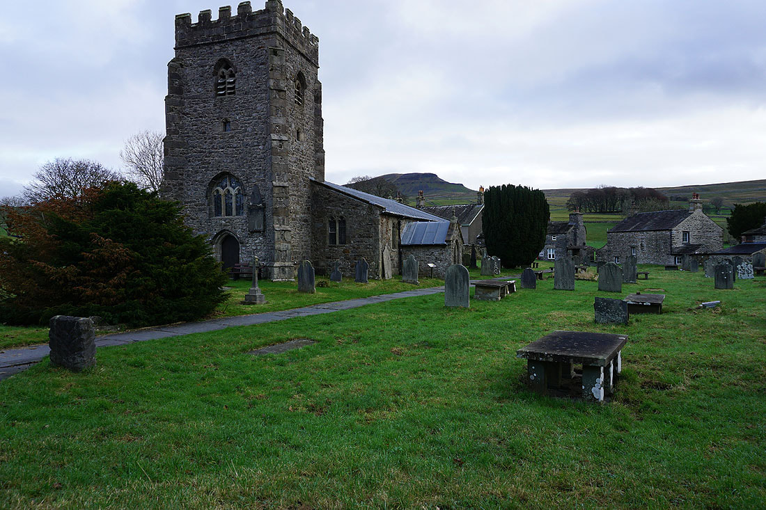
Passing St. Oswald's Church in Horton, with Penyghent in the background
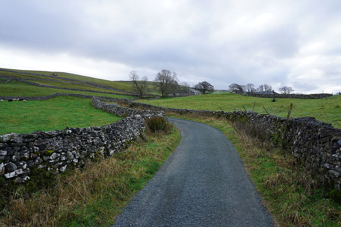
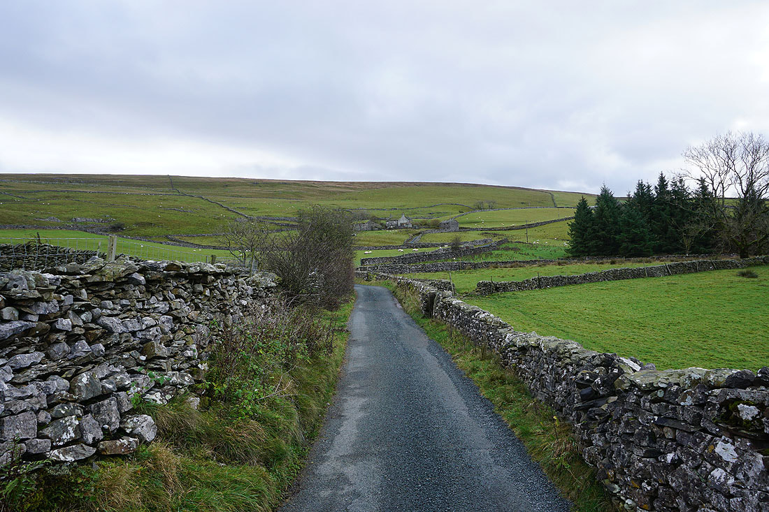
On the lane up to Brackenbottom
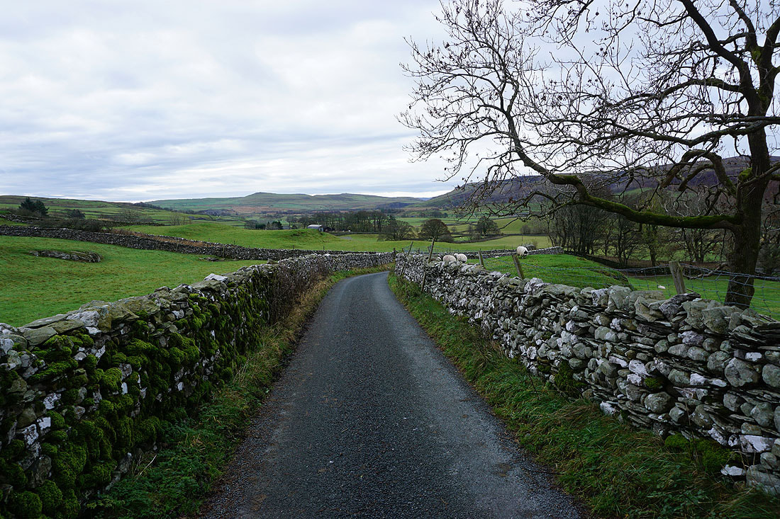
Looking across Ribblesdale to Smearsett Scar and Moughton Nab
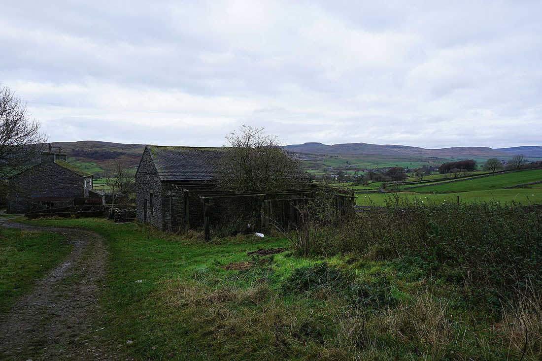
Walking up the lane to Dub Cote
Ingleborough on the other side of Ribblesdale from Dub Cote
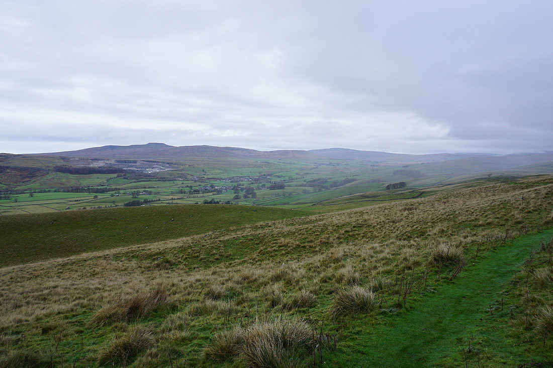
Looking across Ribblesdale to Ingleborough and Whernside from the footpath up to Long Lane. There's a bit of drizzle starting to fall, I'm losing hope that the weather isn't going to get worse.
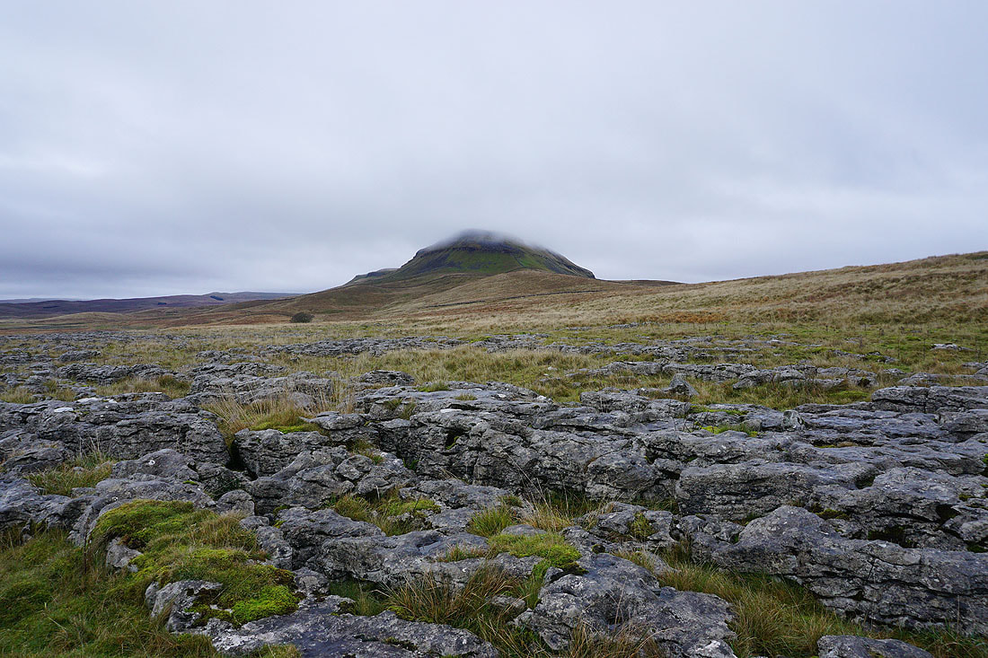
Penyghent from Long Lane..
..and from Dub Cote Scar
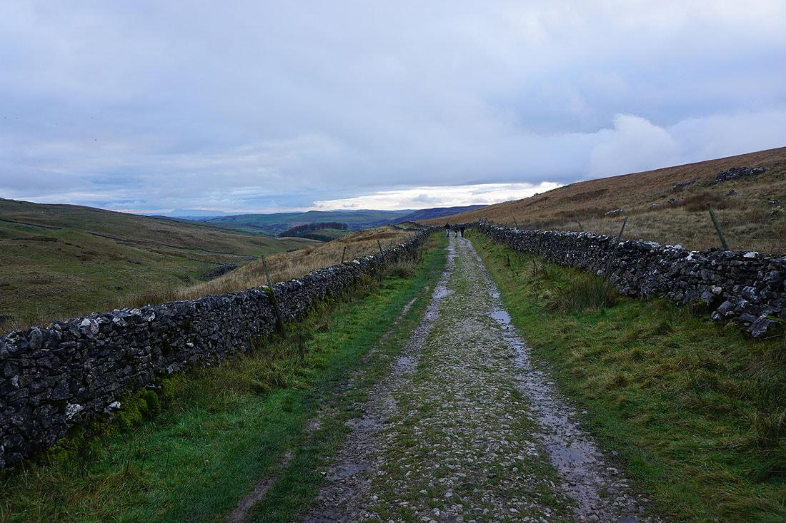
Following Long Lane up to the Pennine Way..
Penyghent ahead as I join the Pennine Way
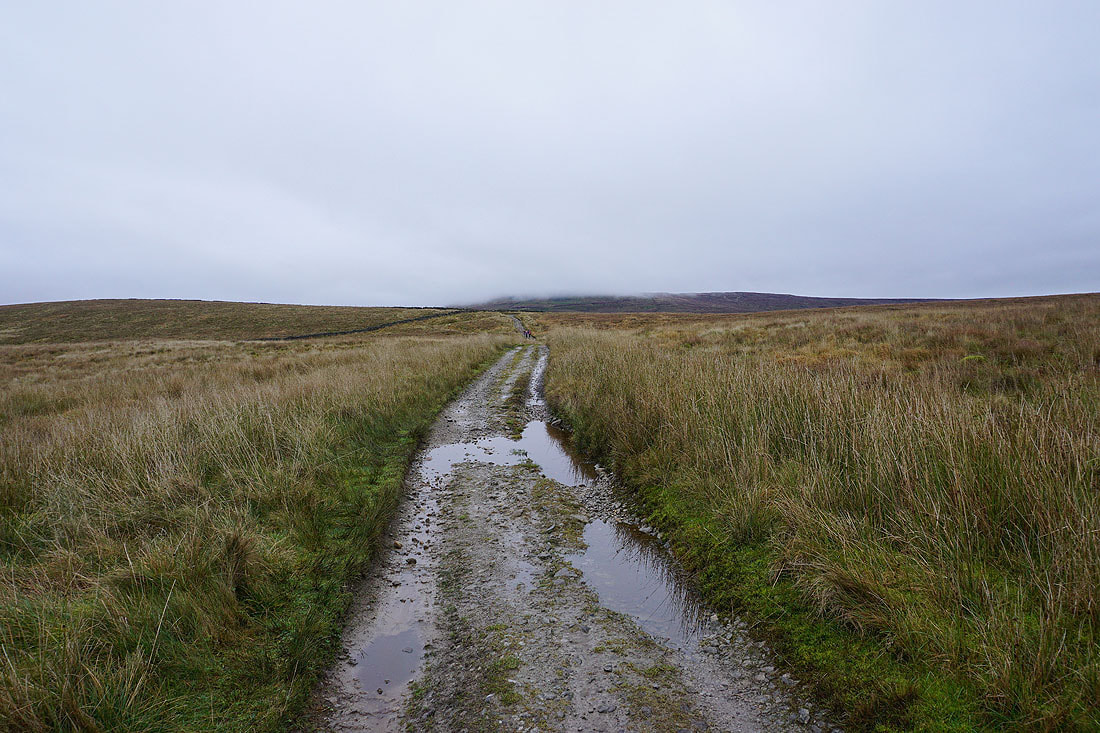
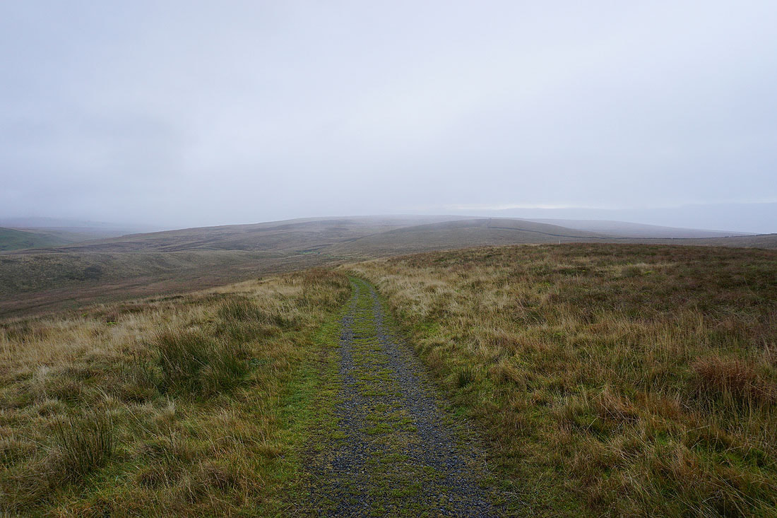
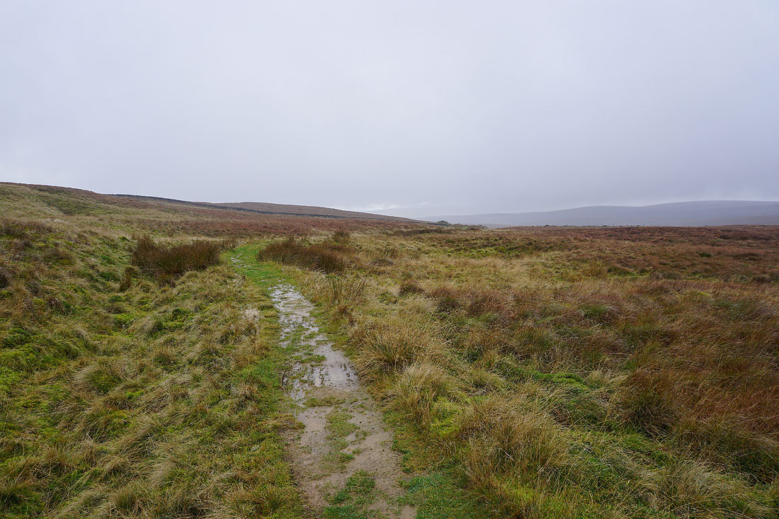
Looking back across the moorland of Overdale, and the visibility is deteriorating
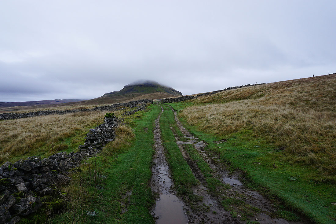
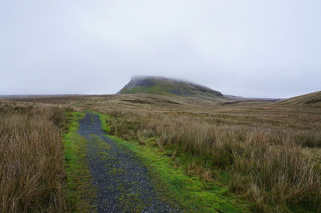
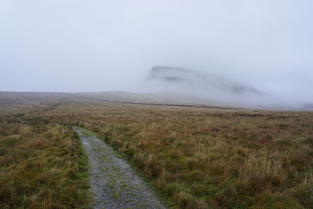
Penyghent is disappearing behind a veil of cloud..
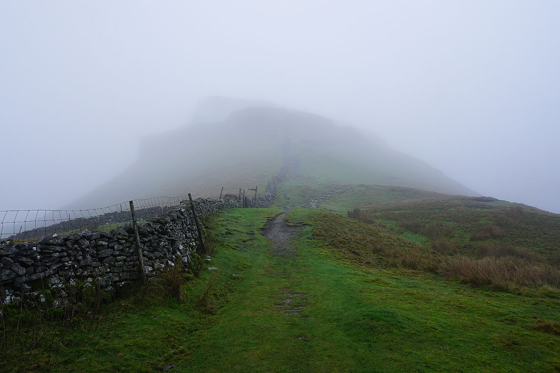
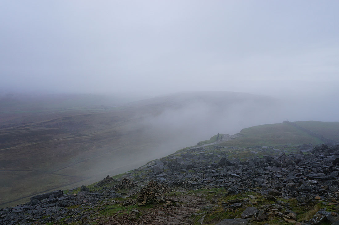
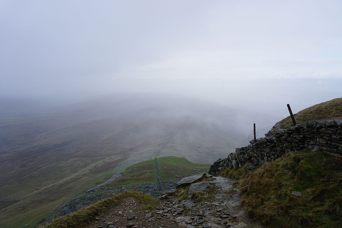
There are gaps in the cloud as I make my way up Penyghent...
On the final approach to the summit. Conditions aren't too bad, there's drizzle falling and the visibility could be worse.
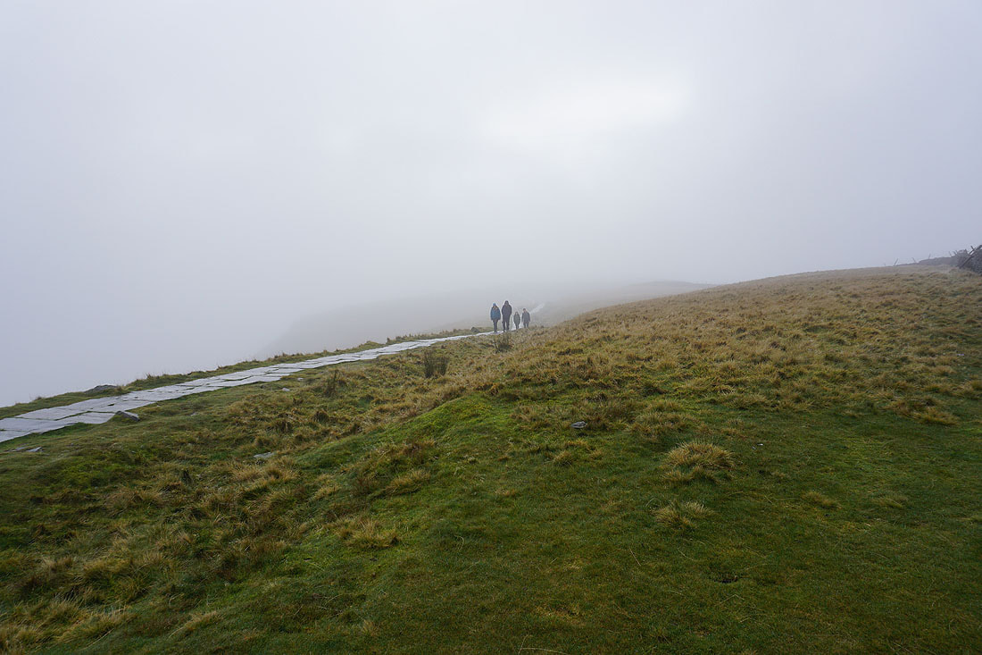
It looks like there are plenty of people prepared to come up here even on a day like today
Nothing to see, so I leave the summit of Penyghent..
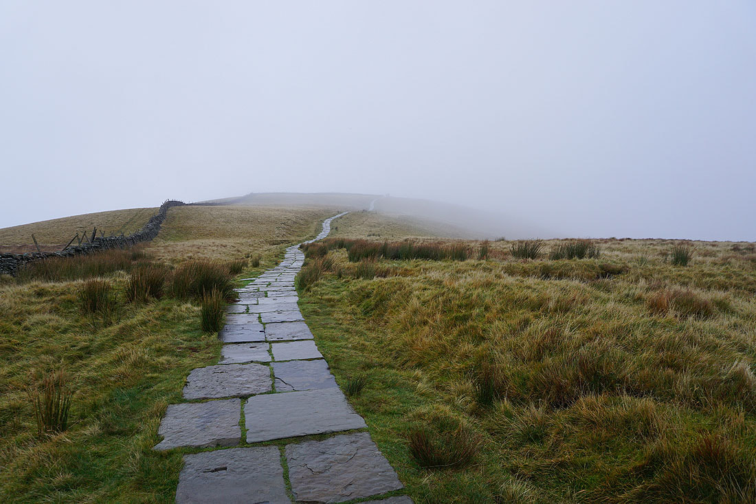
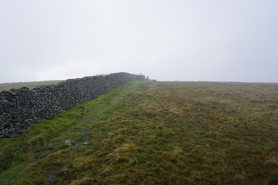
..and head for Plover Hill
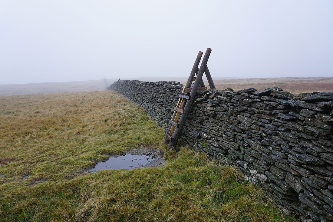
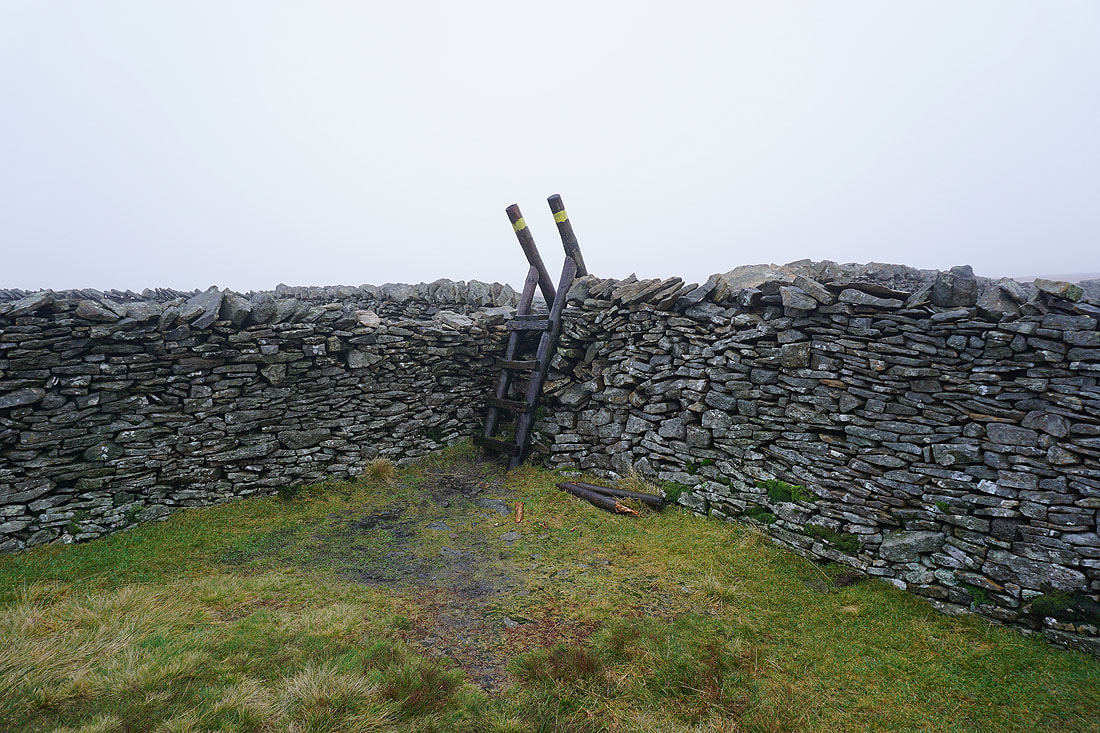
Crossing stiles on the way to Plover Hill..
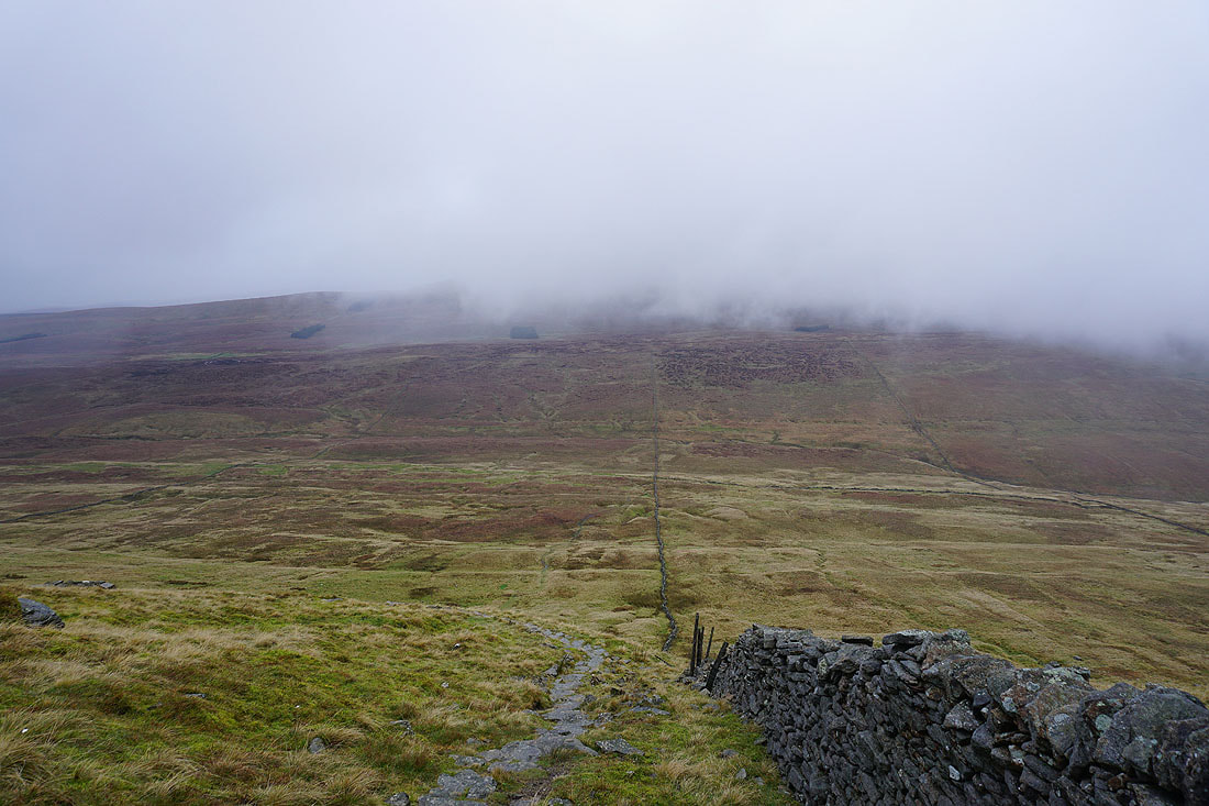
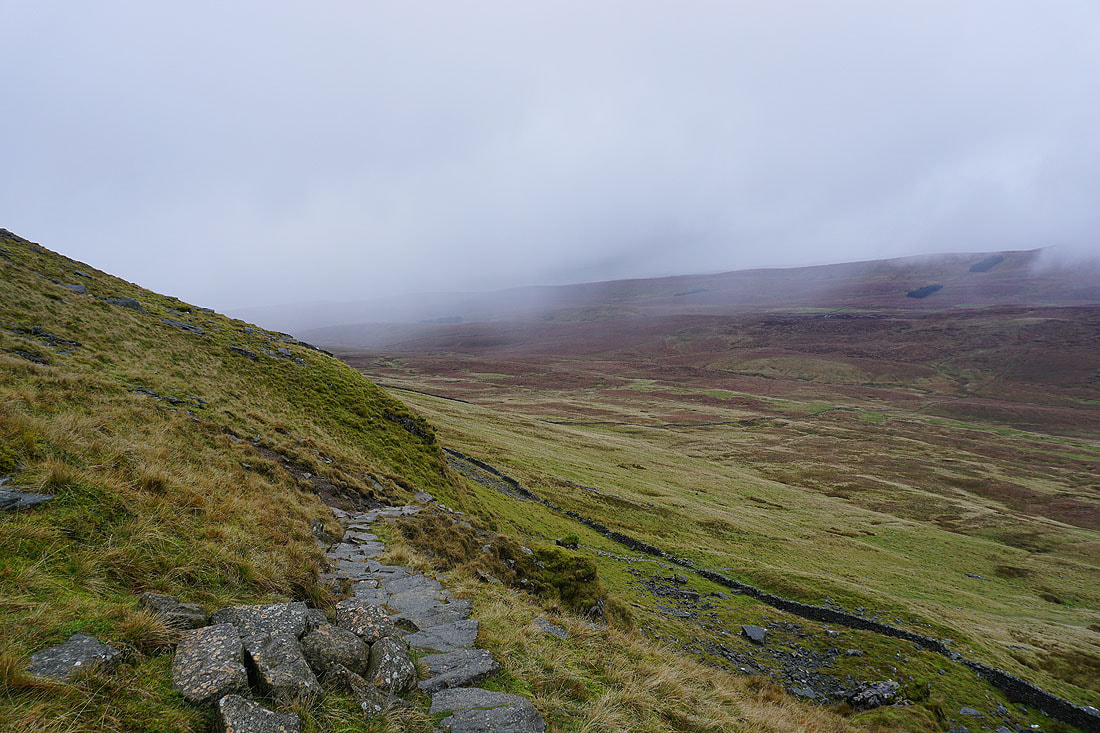
Following the path down the northern slopes of Plover Hill and I drop below the cloud base..
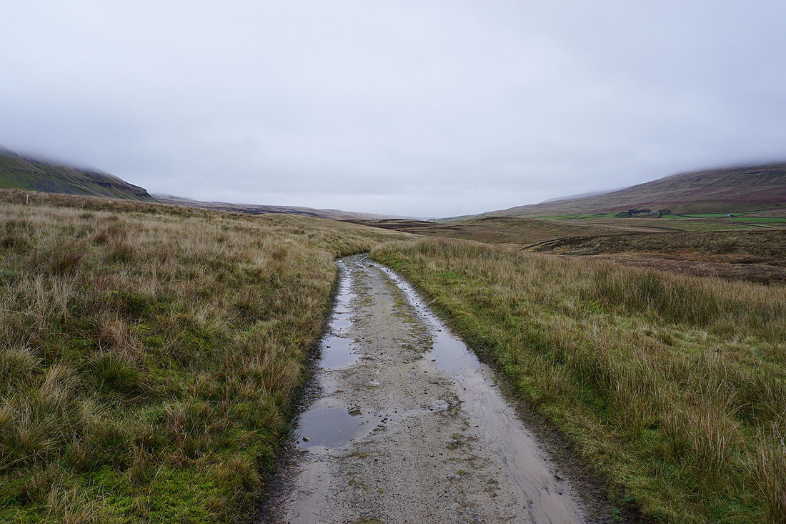
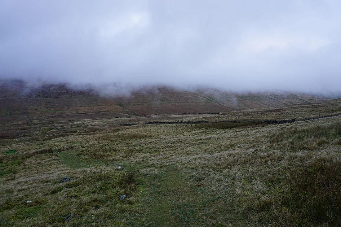
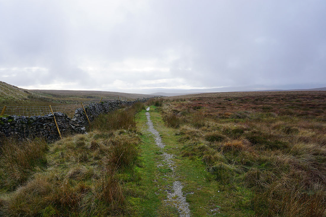
Heading down to the bridleway across Foxup Moor..
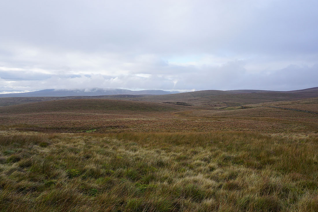
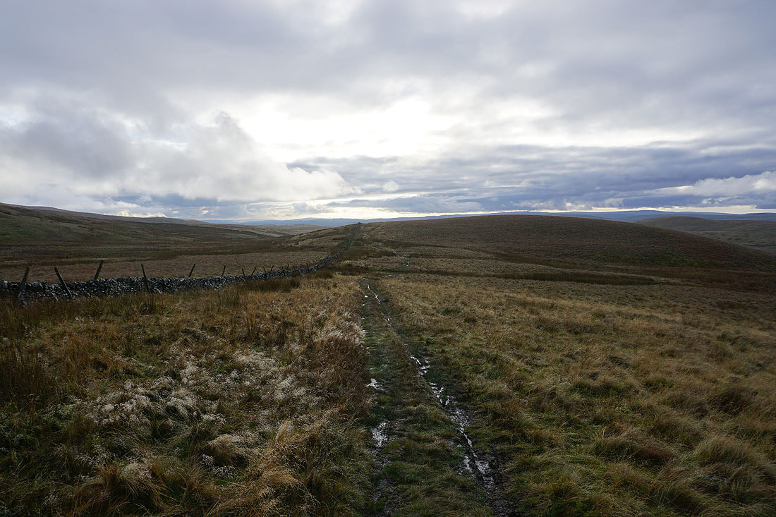
The skies start to brighten as I make my way west along the bridleway....
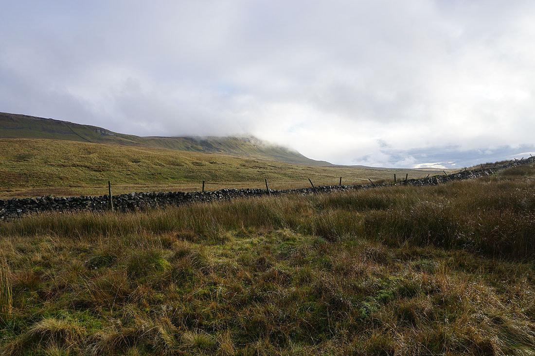
The cloud is clearing from Penyghent
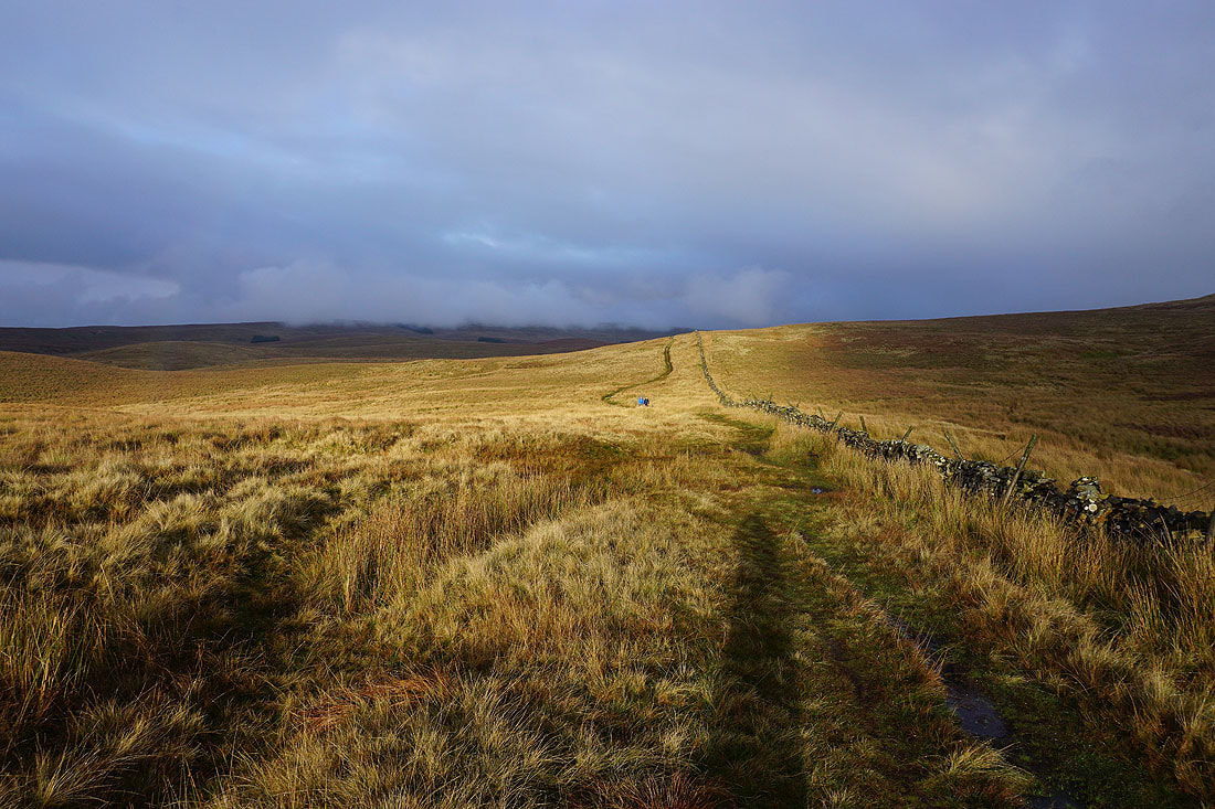
The sun breaks through the cloud and lights up the moor behind me
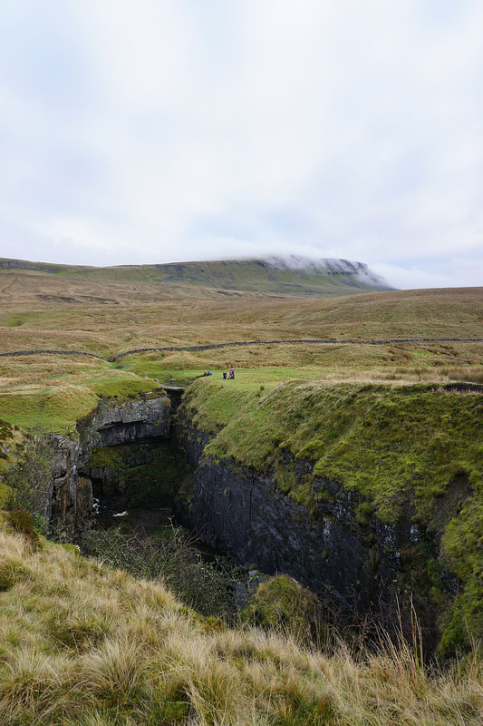
Penyghent from Hull Pot. I couldn't pass by without paying it a visit.
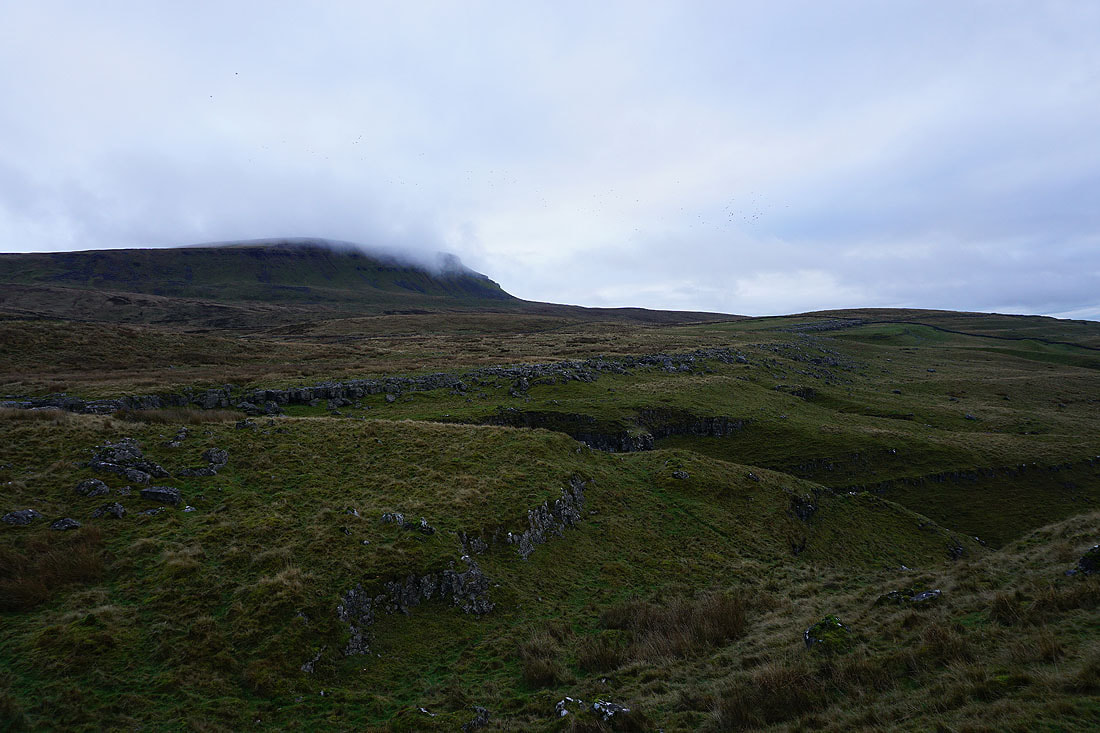
Penyghent above Horton Scar..
..as I walk down Horton Scar Lane back to Horton-in-Ribblesdale
