19th September 2012 - Bram Rigg Top & The Calf
Walk Details
Distance walked: 9.5 miles
Total ascent: 2932 ft
OS map used: OL19 - Howgill Fells & Upper Eden Valley
Time taken: 6 hrs
Route description: Sedbergh-Howgill Lane-Birkhaw-Seat Knott-Bram Rigg-Bram Rigg Top-The Calf-Calders-Arant Haw-Winder-Lockbank Farm-Sedbergh
A spur of the moment decision to do this walk. I had planned on doing another relatively local walk but after yesterday afternoons showers and with the wind in the same direction continuing to blow showers in off the Irish Sea, I had second thoughts. The rainfall radar showed it to be drier further north into Cumbria, so I decided on a walk in the Howgills, always a good idea.
A few showers did develop but they were relatively light and passed through pretty quickly. One item of note though was the cold wind blowing across the tops. I had to resort to putting on my hat and gloves for a while. A sign of autumns progress.
After parking in Sedbergh the first part of the walk was spent walking along Howgill Lane. When I reached Birkhaw Farm I took the signposted bridleway through the farmyard to reach the ridge of Bram Rigg. I walked up the ridge to reach Bram Rigg Top and then The Calf. My route back to Sedbergh was via Calders, Arant Haw, Winder and the farmyard of Lockbank Farm.
Route map
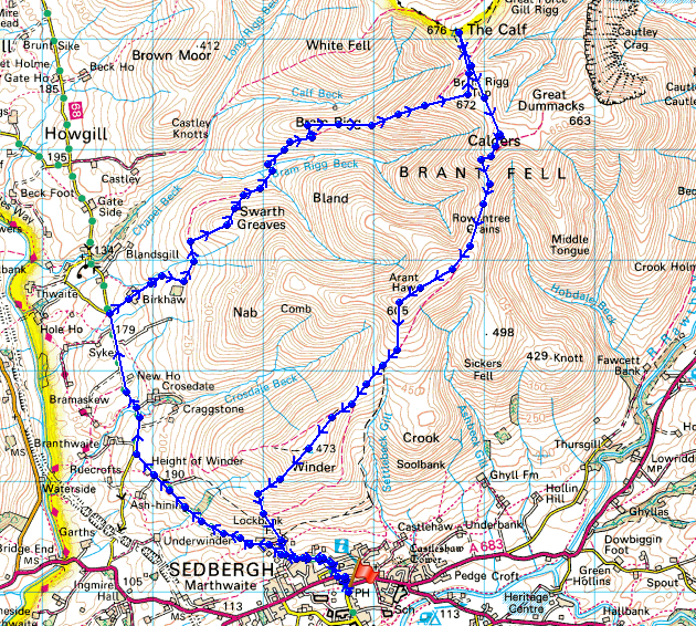
© Crown copyright. All rights reserved. License number PU 100034184.
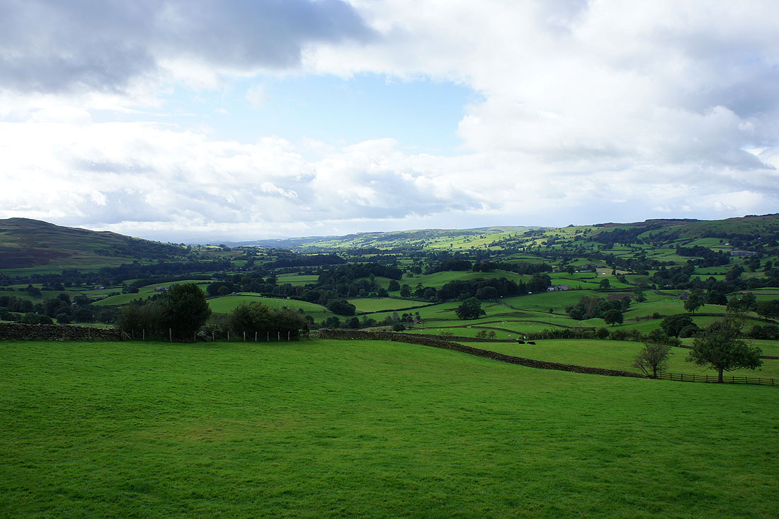
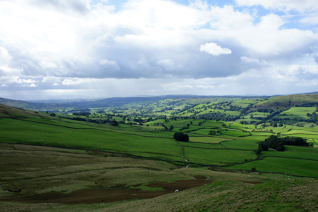
A view of the Lune valley from Howgill Lane just outside Sedbergh
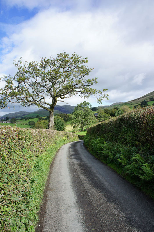
On Howgill Lane
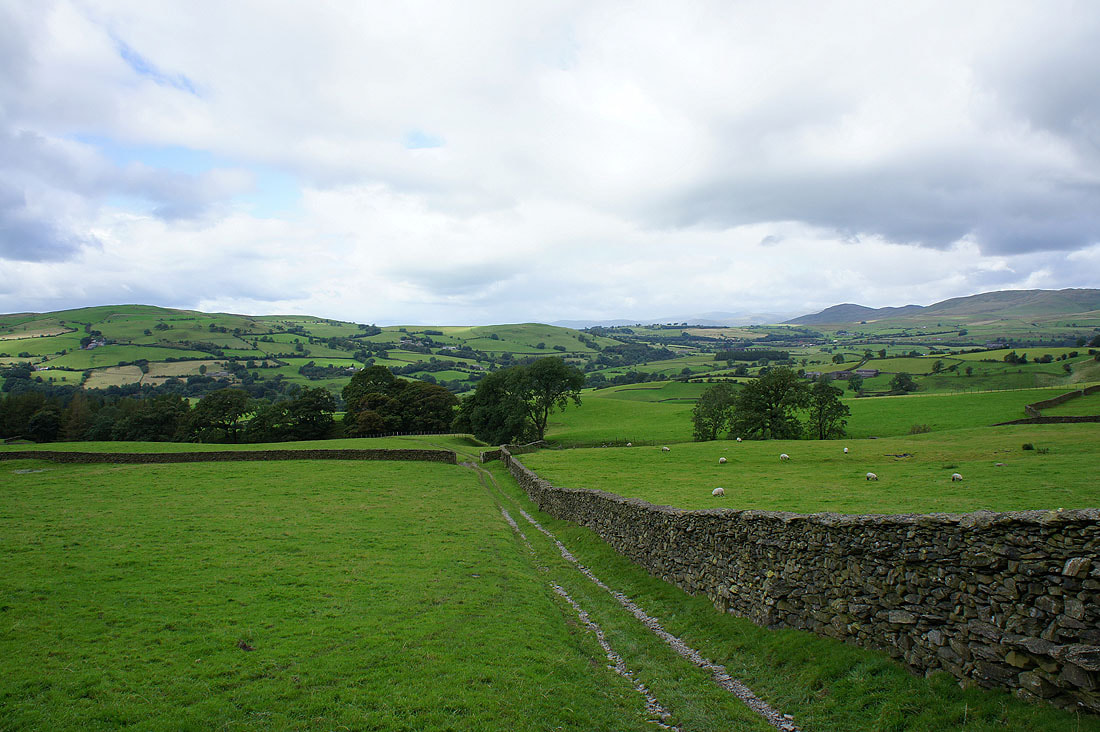
I left Howgill Lane by the bridleway signposted to Bram Rigg Top that passes through Birkhaw farm. After passing through the trees below I've made my way across a couple of fields to reach access land.
A short detour brings me to the little summit of Seat Knott. The Lune valley below.
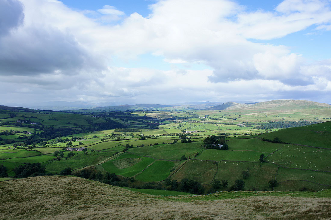
Across the Lune valley and I can make out some of the Lake District fells through a gap in the hills
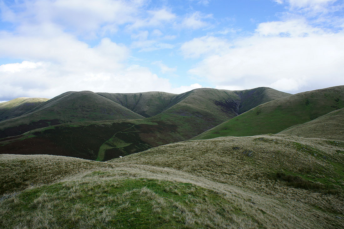
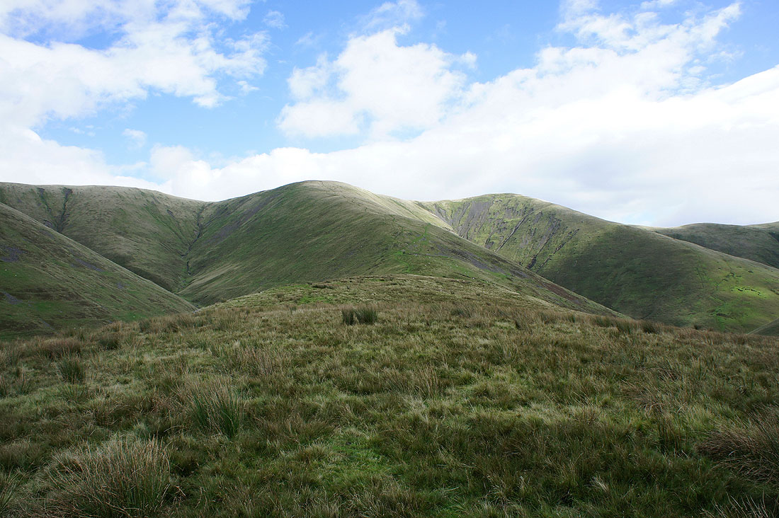
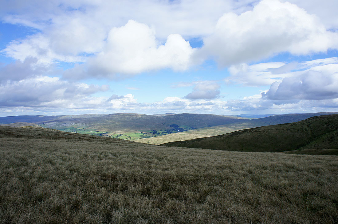
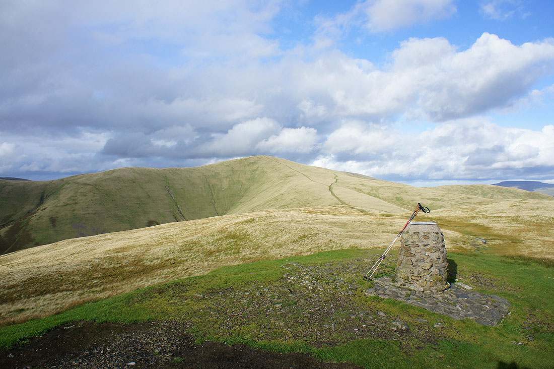
The central plateau of the Howgills. White Fell Head, The Calf, Bram Rigg Top and Calders.
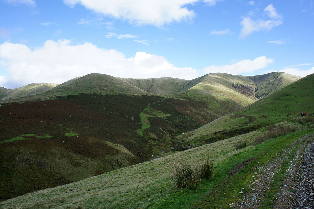
Back on the bridleway and I need to cross Bram Rigg Beck to get on the ridge of Bram Rigg
On the ridge heading for the summit
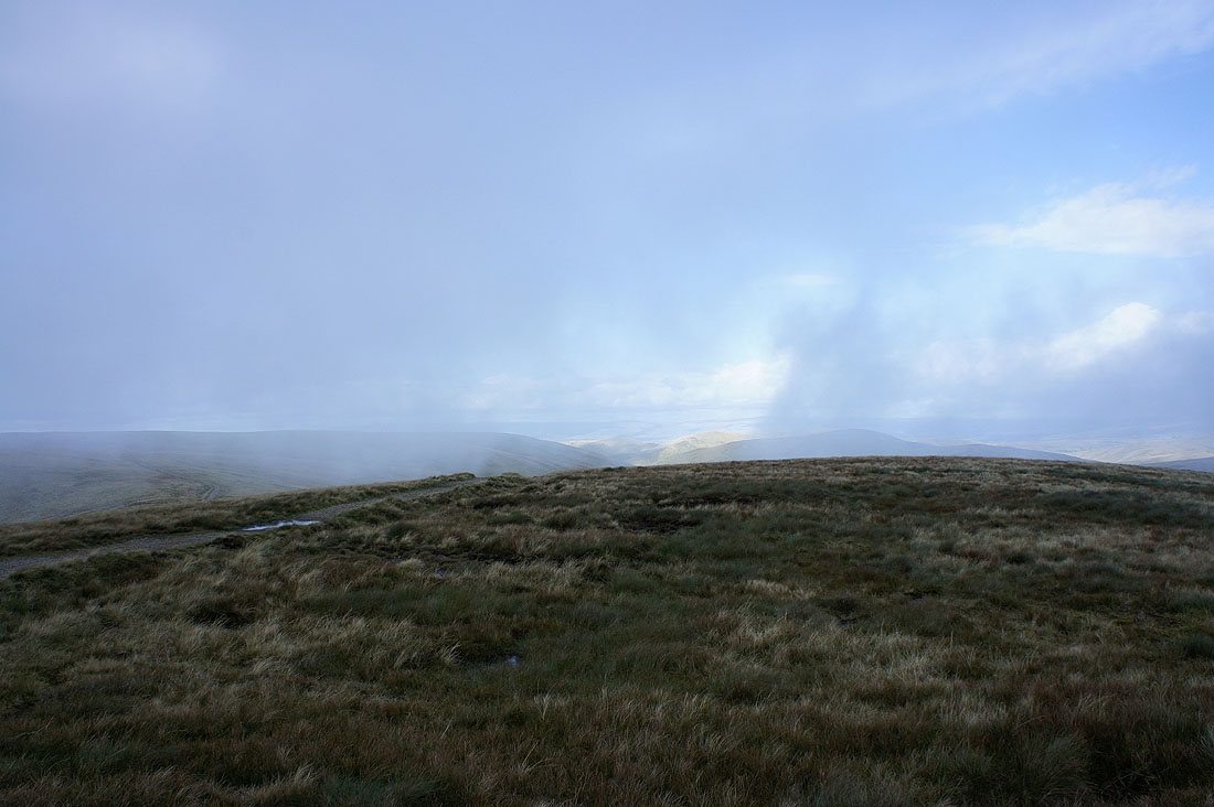
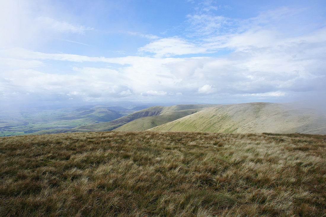
Turning round and my view is obscured as a shower is about to pass through
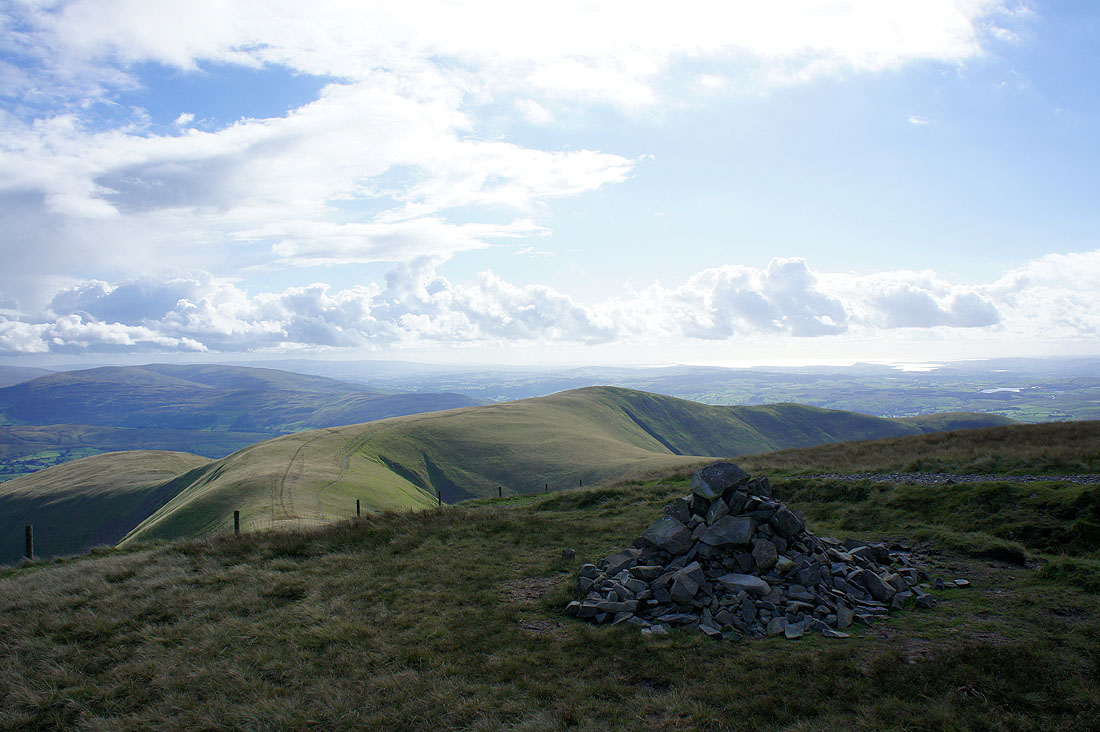
The small pile of stones that marks the summit of Bram Rigg Top and a view towards the distant Lake District fells
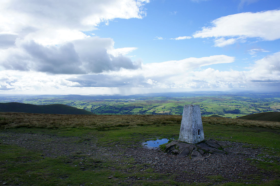
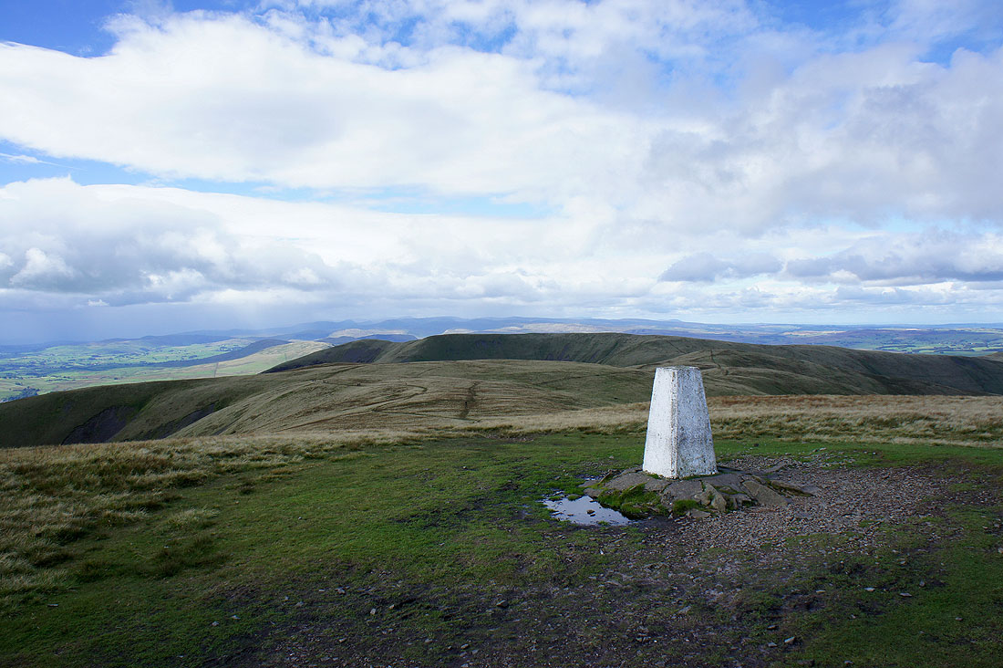
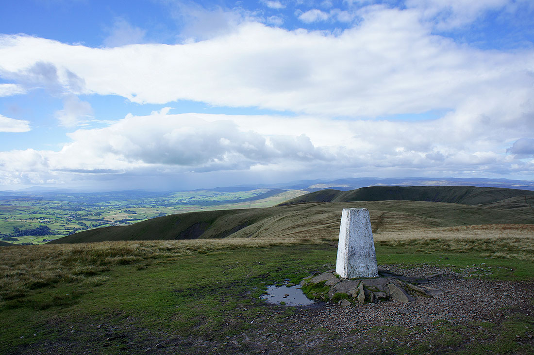
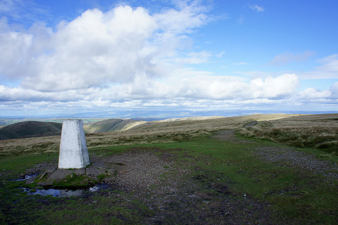
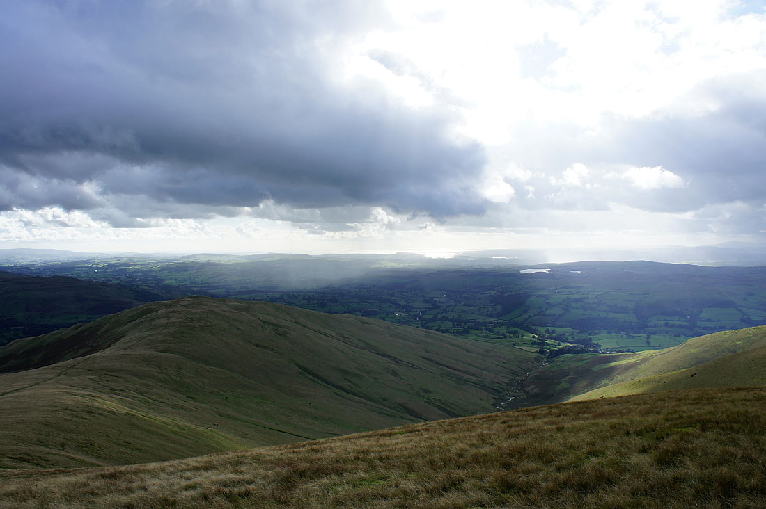
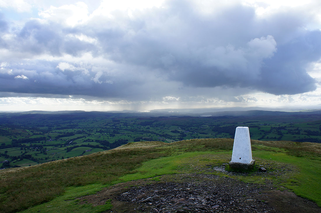
Finally on the high point of the walk, The Calf. A fantastic view in all directions. Here, looking towards Morecambe Bay.
The northern half of the Lake District fells in the far distance beyond White Fell Head and Fell Head
and the southern half of the Lakeland fells. I can't see the Coniston fells, those around Langdale or the Scafells because of the shower approaching from that direction.
Cross Fell and the North Pennines in the distance
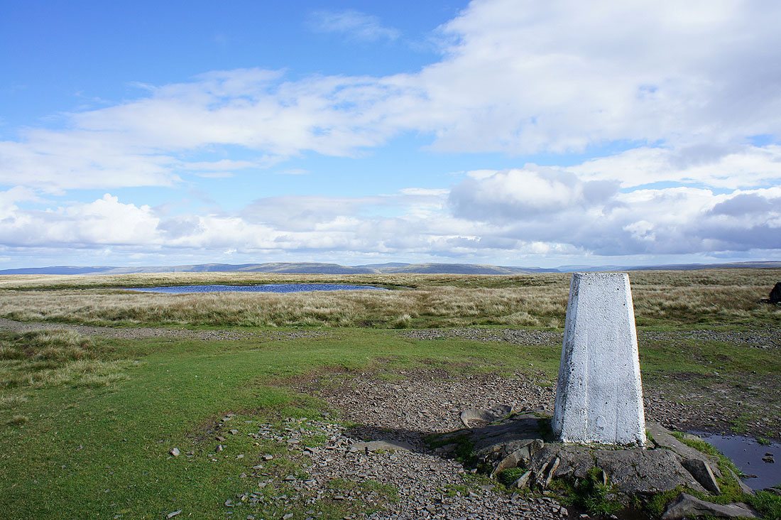
The fells above Mallerstang beyond the summit tarn
I've walked past the tarn to get a better view. Wild Boar Fell, Swarth Fell and in the gap Great Shunner Fell.
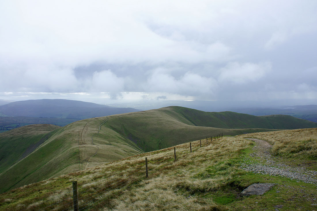
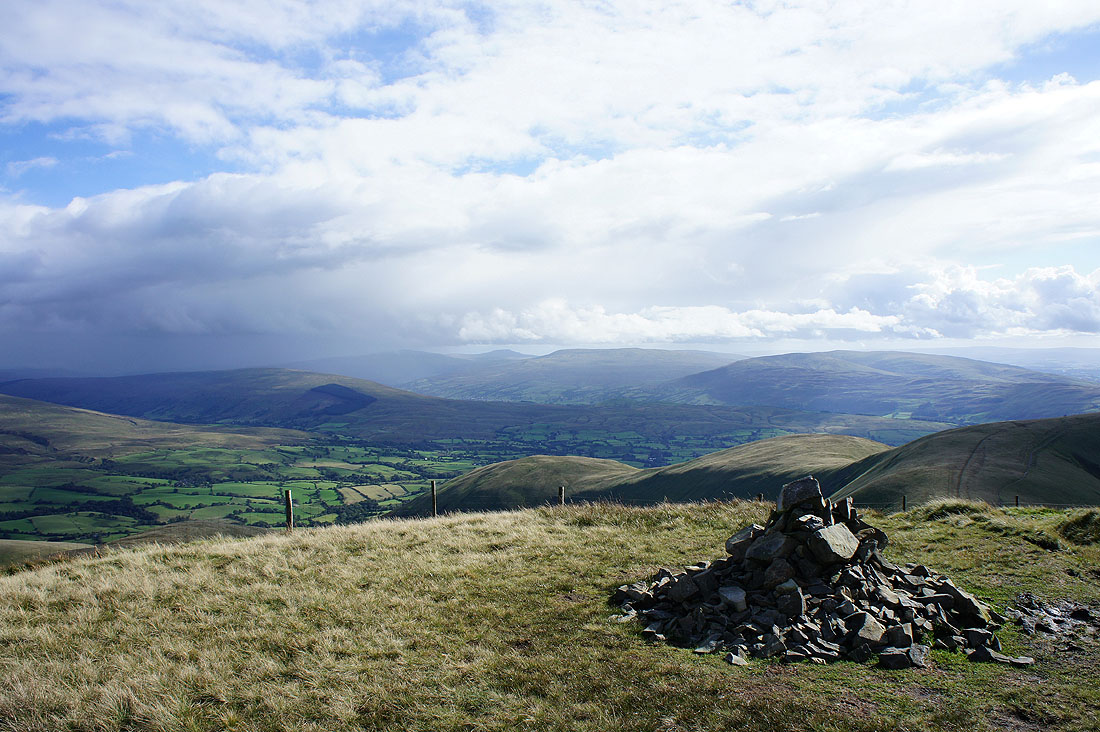
I've left The Calf and arrived on my next summit of the day, Calders. Arant Haw is still to come. That shower making its way across from the Coniston fells is about to reach me. I'm going to wait it out until it clears.
15 minutes later and I thought it was going to clear. The rain had passed but it had left behind low cloud.
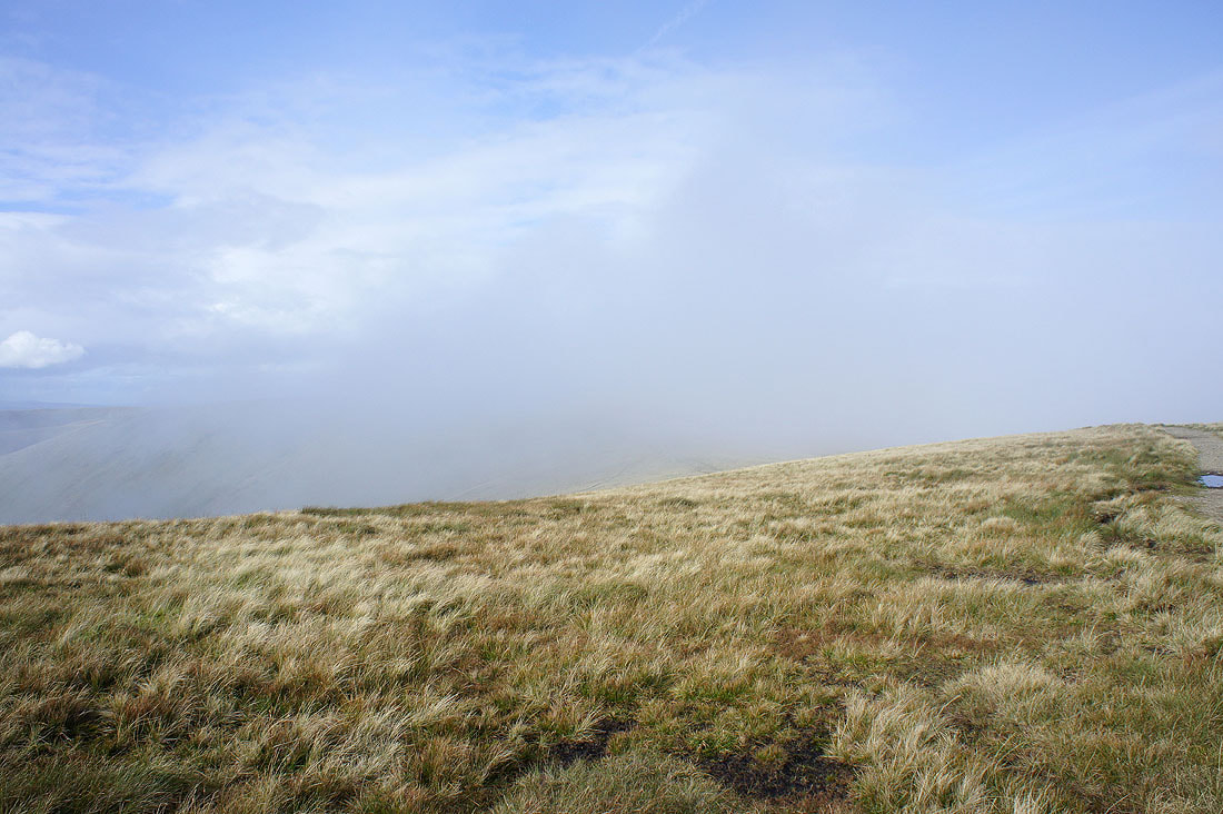
Another 15 minutes and this time it is clearing. Worth the wait?
Yes
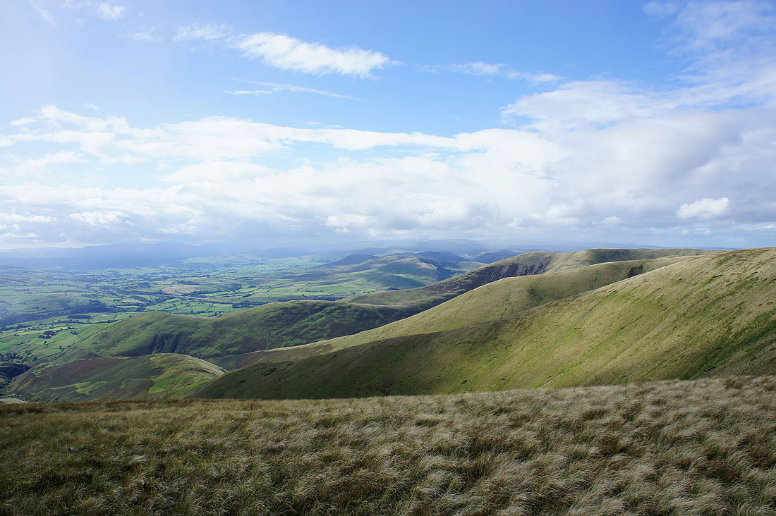
Lakeland fells in the distance with my route of ascent, the ridge of Bram Rigg just below
The shower is now passing over Whernside on the left but to the right I can see Ingleborough, Great Coum and Middleton Fell.
Wild Boar Fell and Swarth Fell from Calders
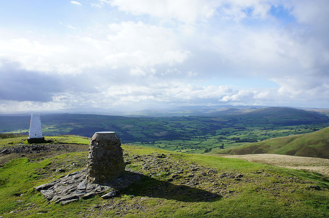
A sunlit Arant Haw and Morecambe Bay
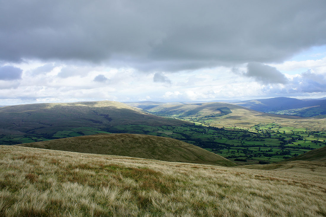
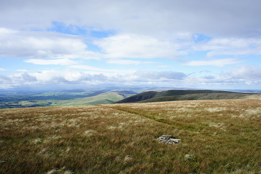
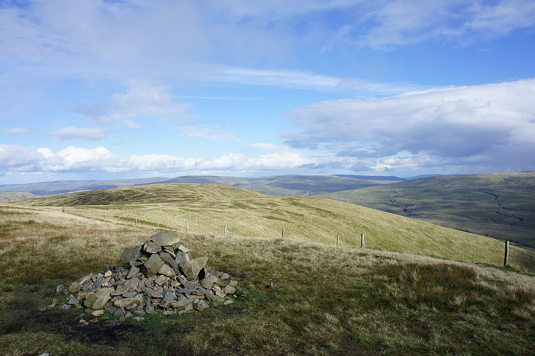
On Arant Haw. Baugh Fell, the valley of Garsdale and Rise Hill.
Whernside, Great Coum and Middleton Fell. Ingleborough is just visible in the gap between Whernside and Great Coum.
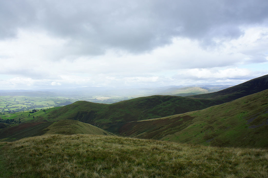
Looking towards Lakeland across Howgill ridges
Morecambe Bay. The last stop of the day, Winder, is on the left.
and on Winder looking across the Lune valley to the Lakeland fells
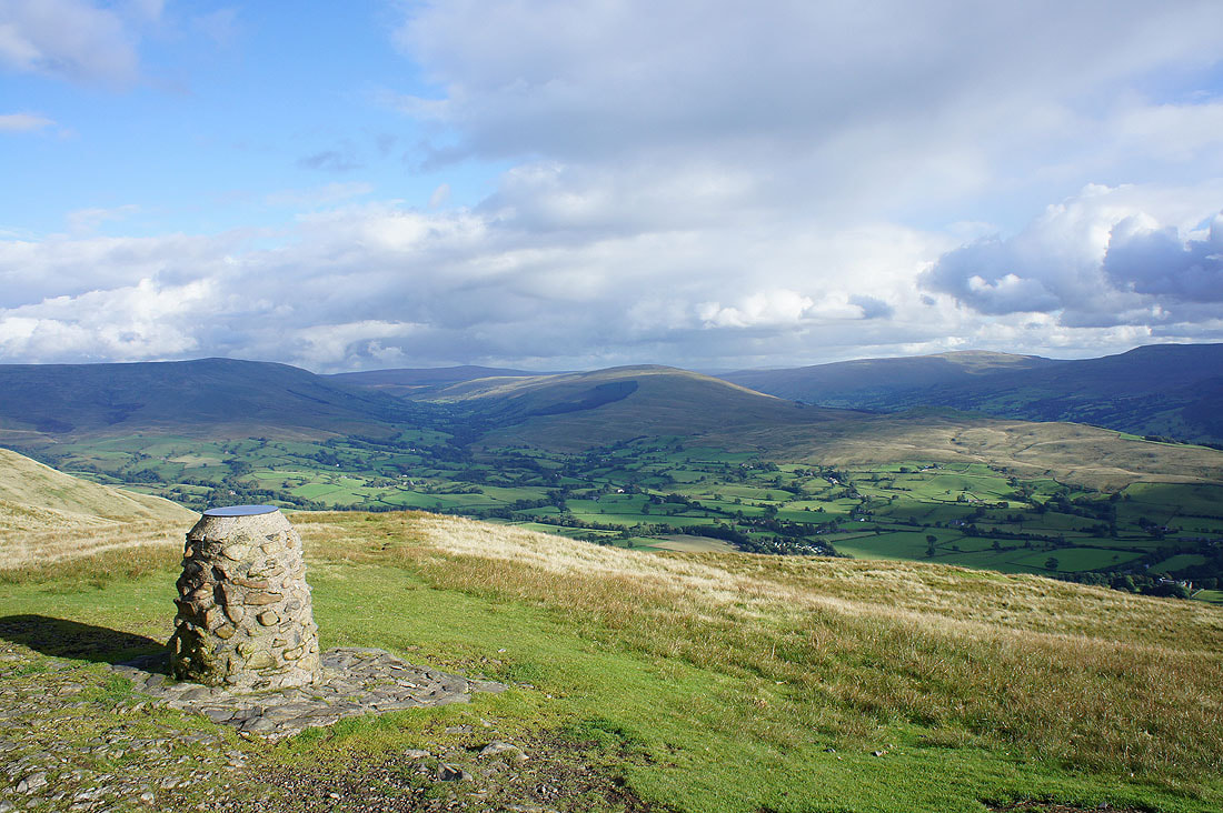
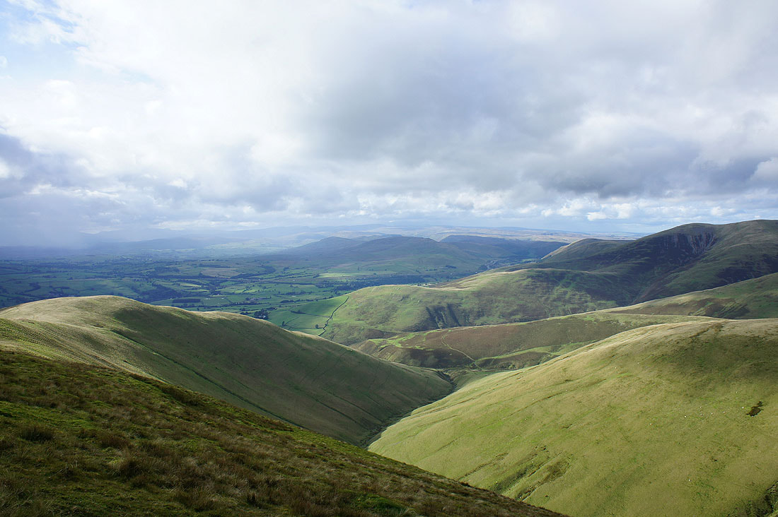
Baugh Fell, Garsdale, Rise Hill, Dentdale and Whernside
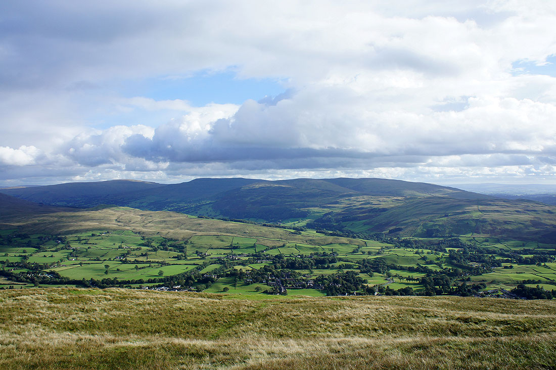
Whernside, Great Coum and Middleton Fell
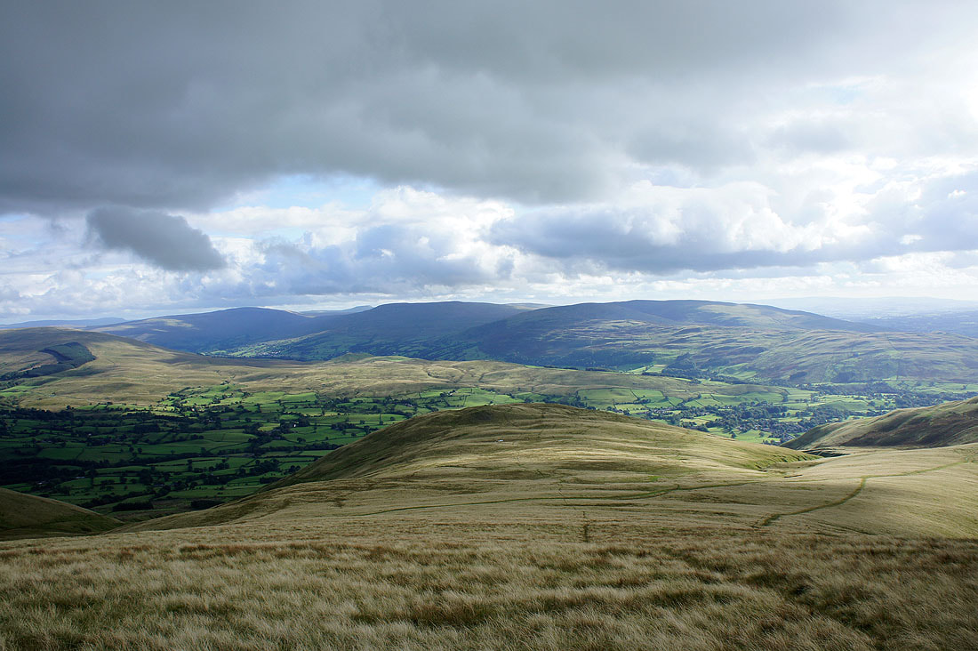
Looking back up to Arant Haw
Morecambe Bay and another shower approaching
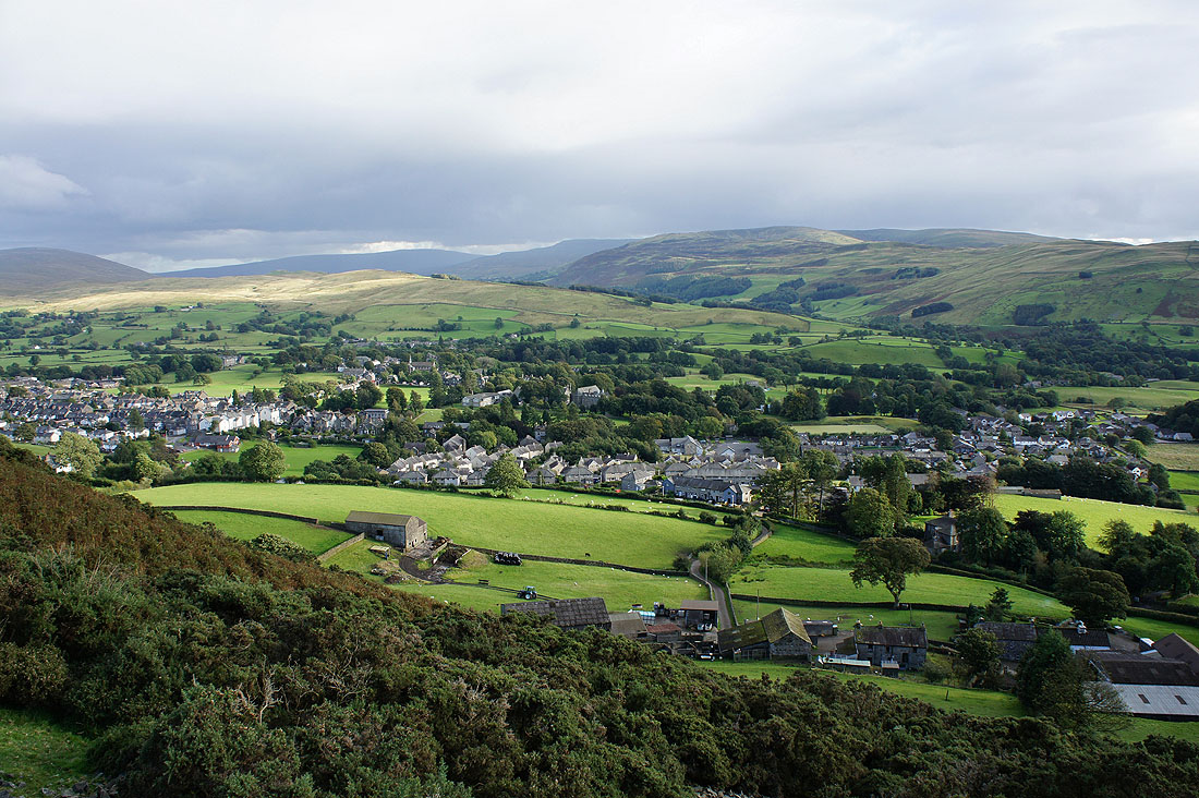
Sedbergh below from the descent of Winder. I'll be passing through the farmyard of Lockbank Farm below.