19th September 2015 - Stanage Edge, Higger Tor & Carhead Rocks
Walk Details
Distance walked: 10.4 miles
Total ascent: 1863 ft
OS map used: OL1 - The Peak District, Dark Peak area
Time taken: 7 hrs
Route description: Hollin Bank car park-Stanage Edge-Long Causeway-Stanage End-High Neb-Stanage Edge-Upper Burbage Bridge-Burbage Rocks-Duke of Rutland's Drive-Carl Wark-Higger Tor-Callow-Carhead Rocks-Hollin Bank car park
My brother Stephen was able to join me on my walk today and this was the destination that I'd agreed to take him to. Stanage Edge is somewhere that he has a little familiarity with from when he did some climbing as a student at Sheffield University, even so a good part of the route we followed was new territory for him and I needed no persuading to do a walk along Stanage Edge. We certainly picked the right day for it. Fine early autumn weather made the colours of the moors look their best and there was the bonus of catching the last of the heather in flower.
From the back of the NP car park at Hollin Bank we made our way uphill through Stanage Plantation to Stanage Edge. However, no sooner had we made it to the edge then we left it for the Long Causeway bridleway back down and then the path that runs north under the edge to Stanage End. After a brief stop at Stanage End it was time to walk the full length of Stanage Edge, past the trig point on High Neb to the one at the southern end of the edge, taking lunch at a convenient point about half way along. We then made our way to Upper Burbage Bridge (ice-cream van parked in the car park was taken advantage of) and onto the path along the top of Burbage Rocks. At a convenient place we dropped down to the track of the Duke of Rutland's Drive below and then down to and across Burbage Brook and up to Carl Wark. Next stop was Higger Tor, then out to the road at Fiddler's Elbow and down the footpath to the bridleway past Callow to the road above Dale Bottom. We turned right and followed the road uphill until access land for Carhead Rocks was reached. After taking in the view from Carhead Rocks we walked down to the road junction above North Lees which left just a short walk along the road back to the car park.
Route map
© Crown copyright. All rights reserved. License number PU 100034184.
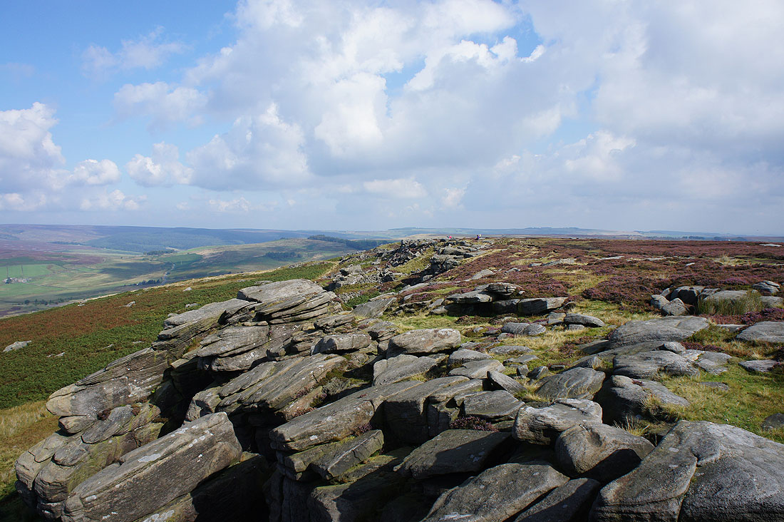
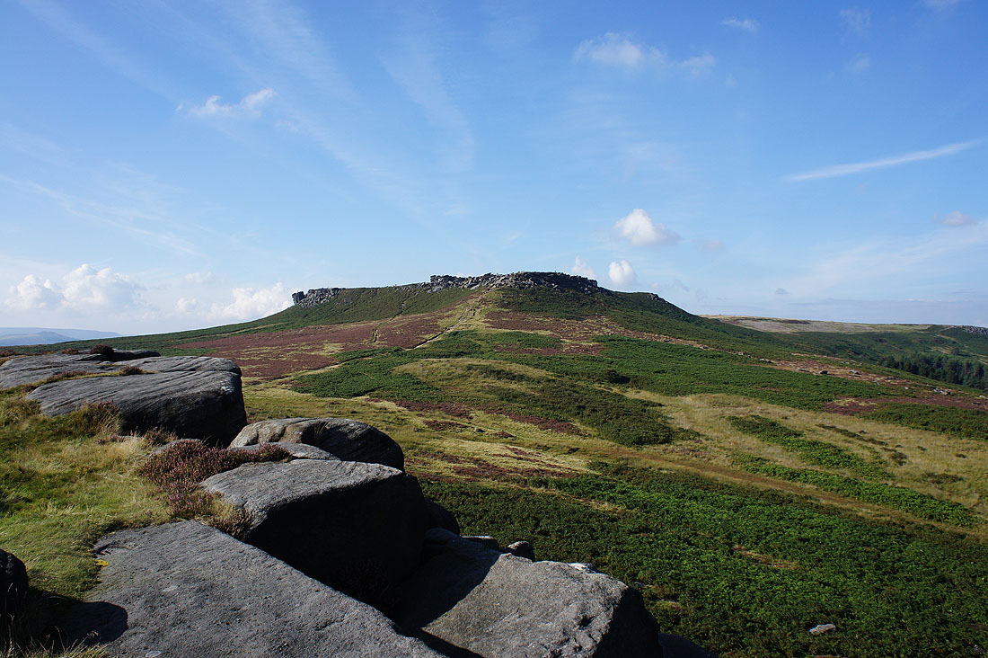
Stanage Edge above as we leave the Hollins Bank car park
and before we know it we're up there
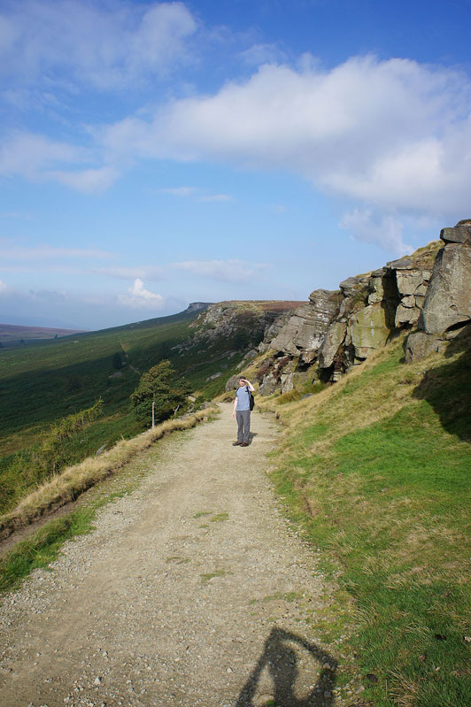
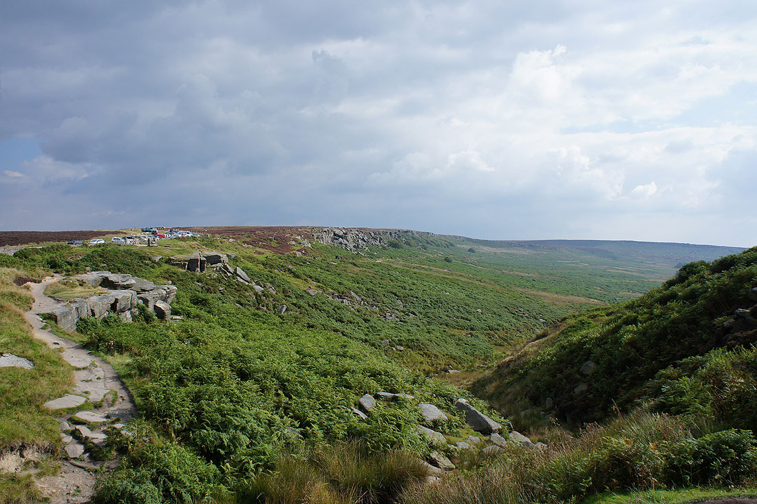
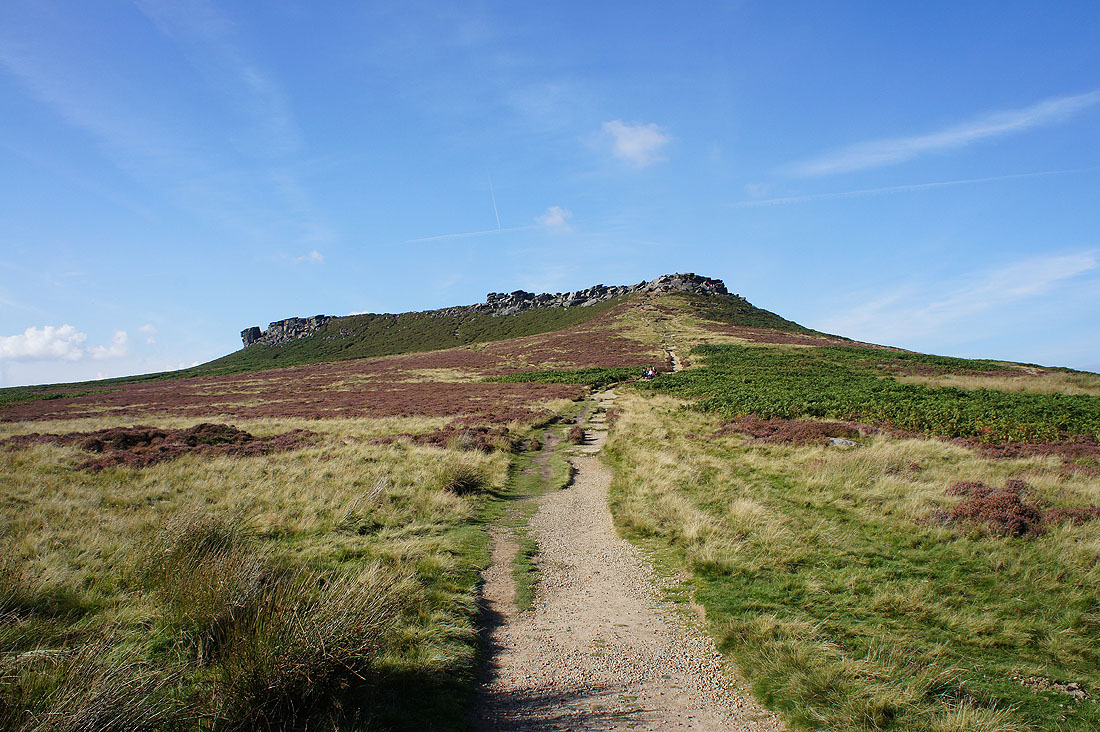
Not for long though. We soon leave it for the Long Causeway bridleway and then the path below the edge that we'll follow to Stanage End.
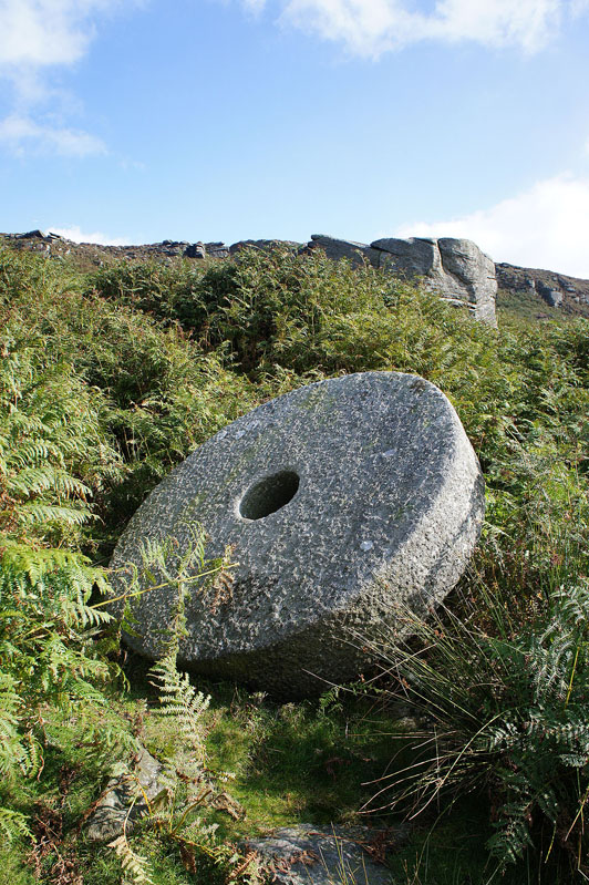
One of a number of abandoned millstones
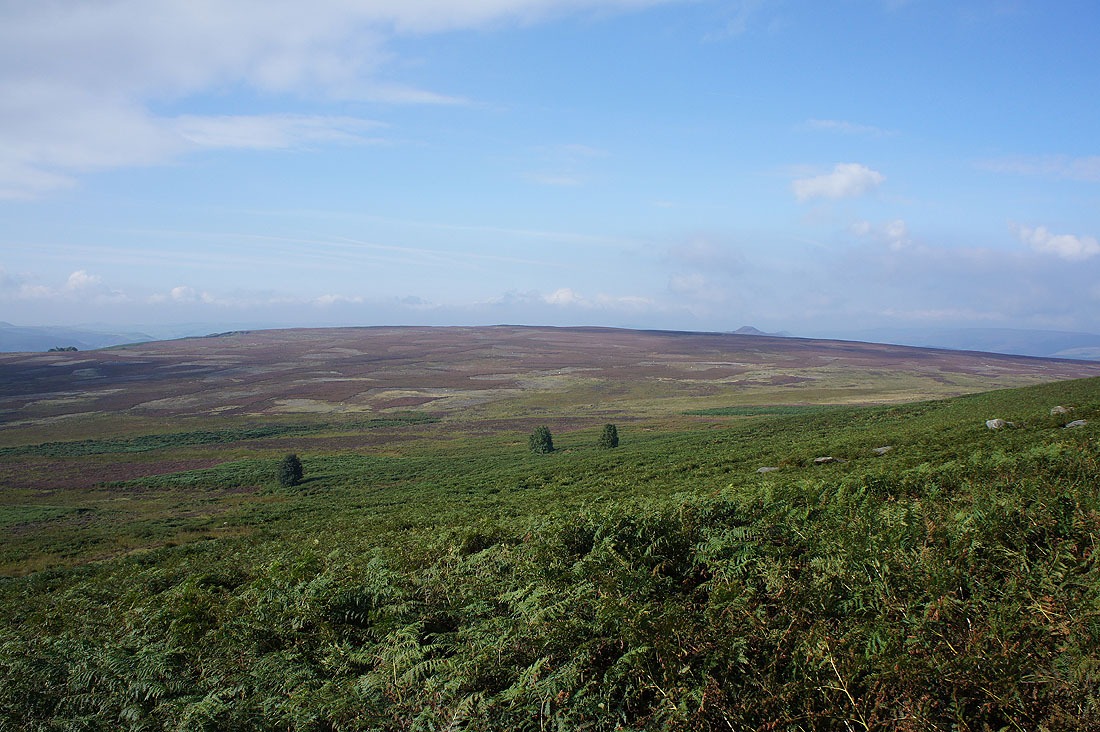
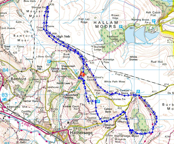
Bamford Moor
Approaching Stanage End
There's a great range of colours up on the moors this morning as I look towards Win Hill and Kinder Scout
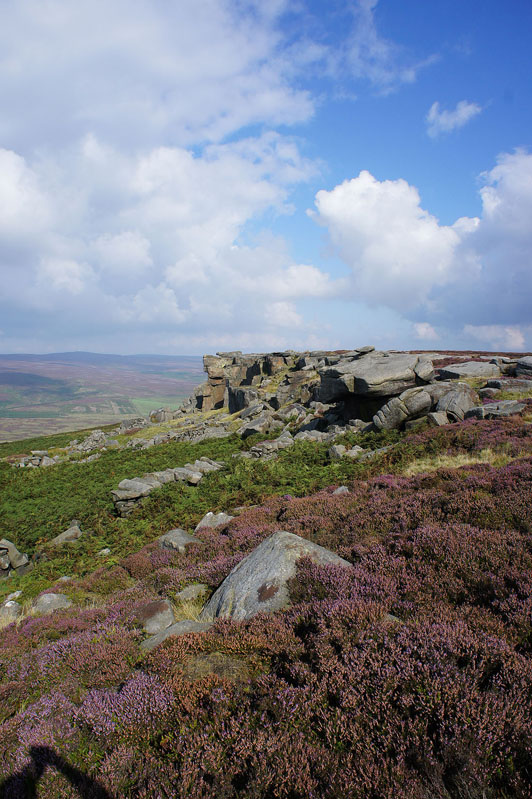
The gritstone of Stanage End, the quiet part of Stanage Edge
The moorland of Derwent Edge to the northwest
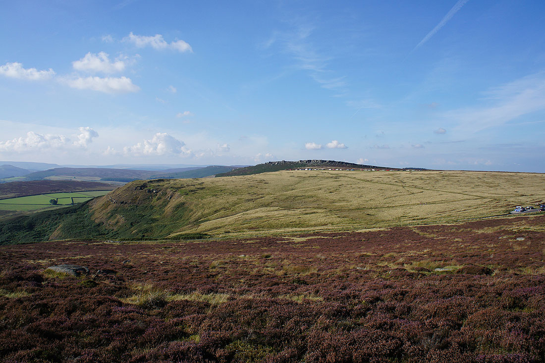
As we round Crow Chin more of Stanage Edge comes into view
Win Hill, Kinder Scout and Crow Chin
The trig point on High Neb
Rather hazy looking down on the Derwent Valley
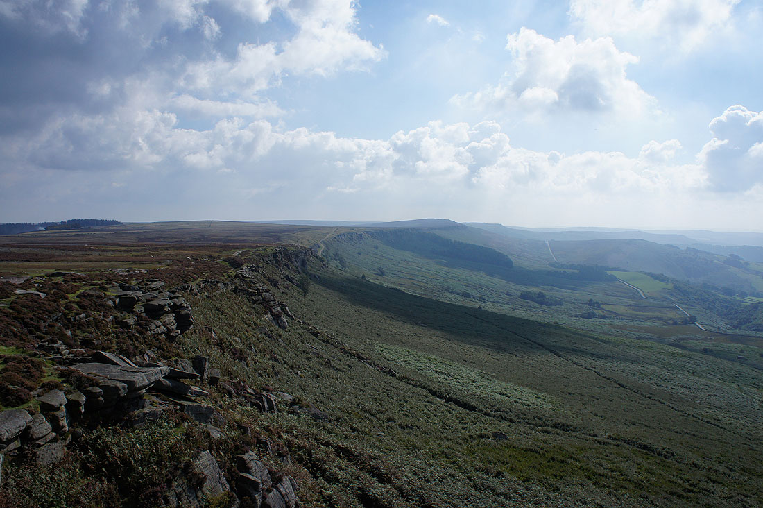
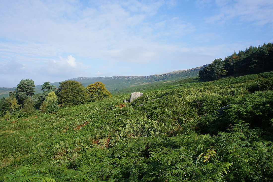
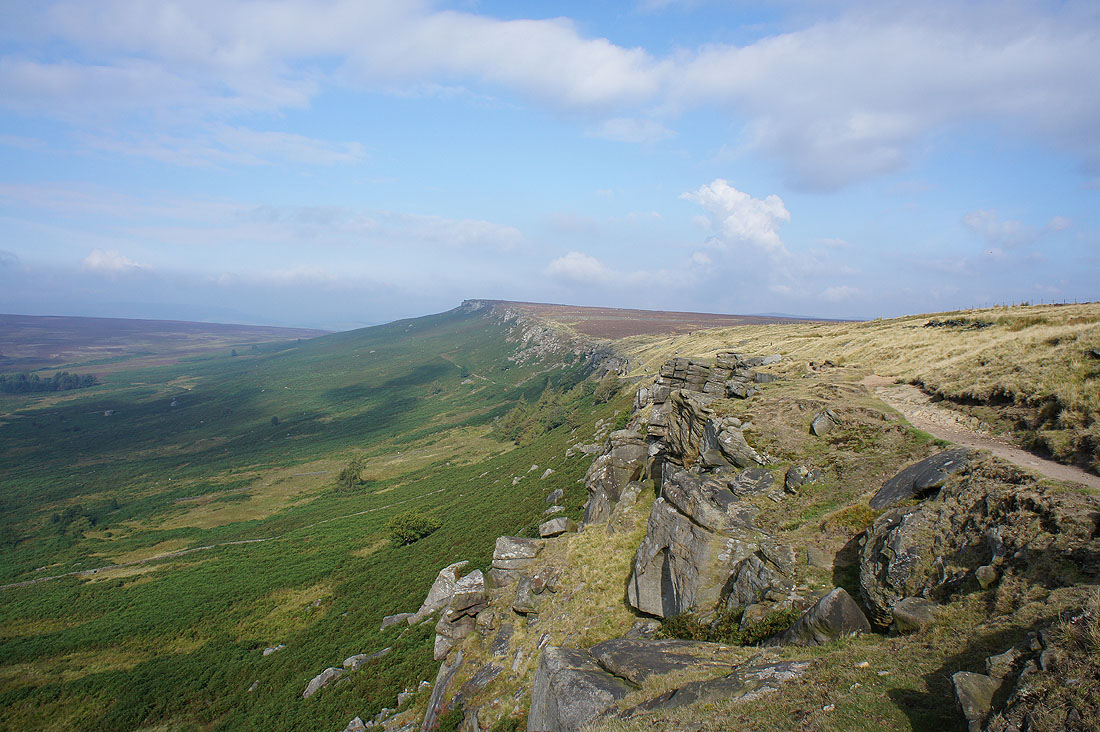
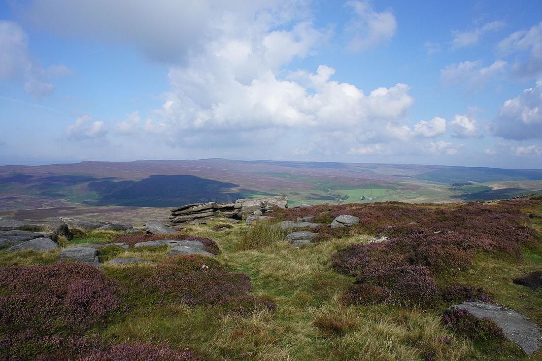
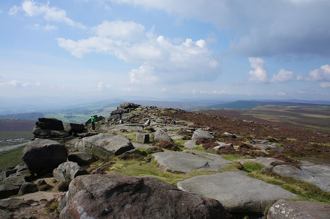
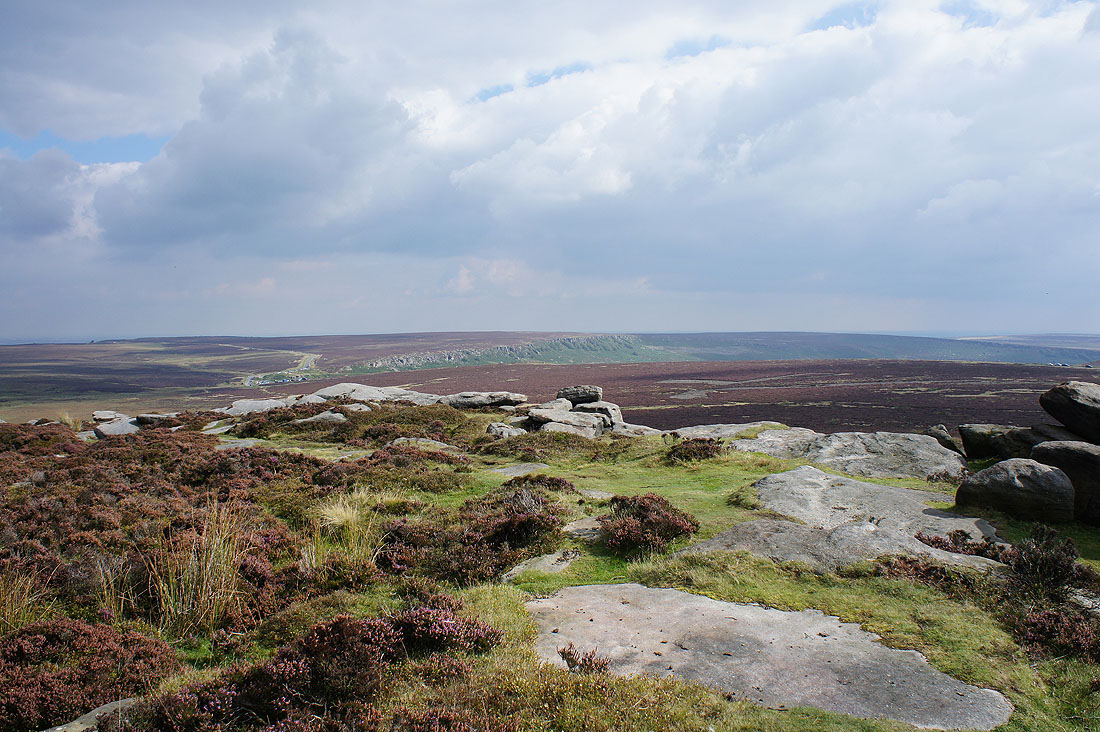
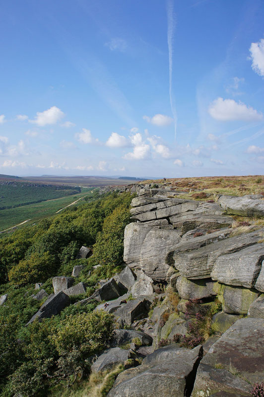
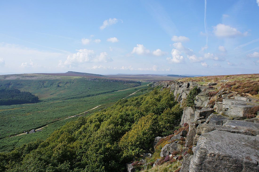
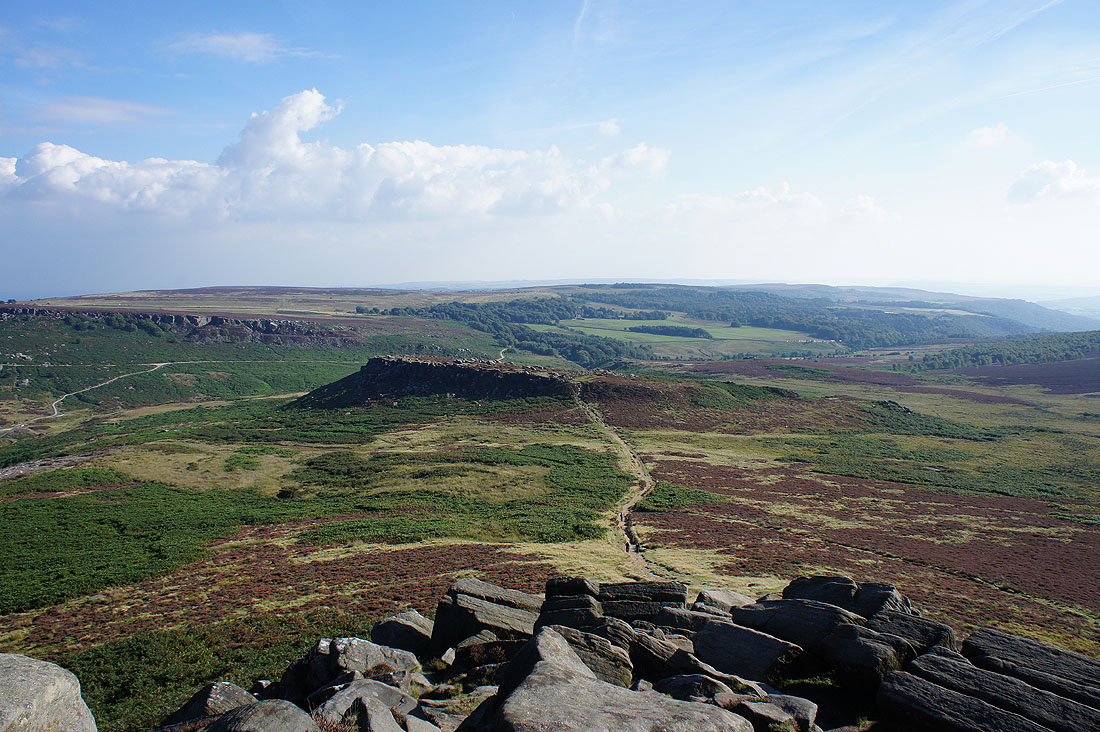
The rest of Stanage Edge lies ahead
Looking back to High Neb as we pass the point where we joined the edge earlier in the day
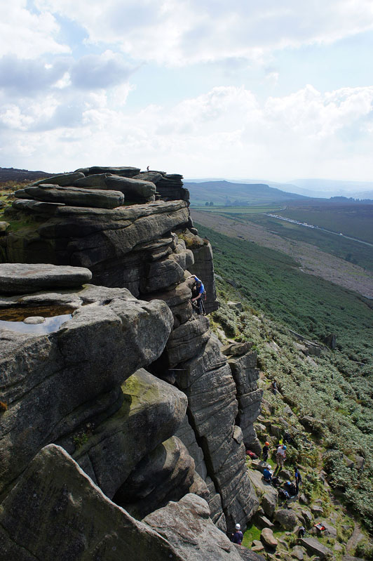
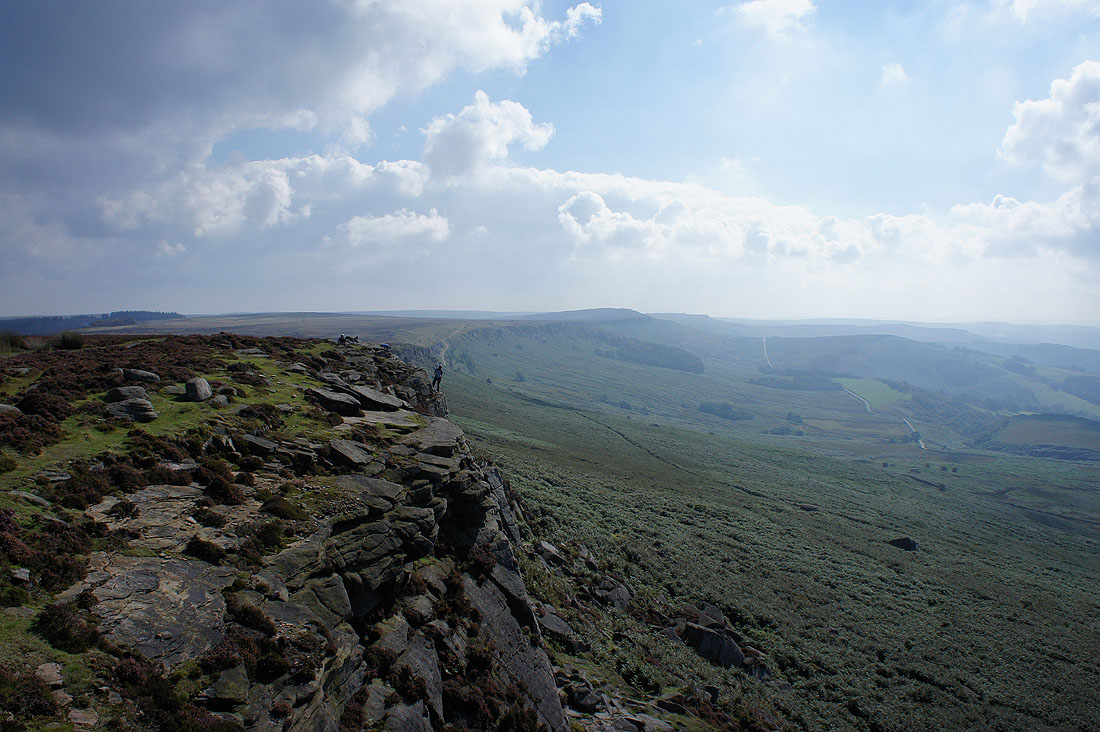
To say there were a few climbers today would be an understatement
A paraglider takes flight as we reach the southern end of Stanage Edge
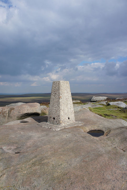
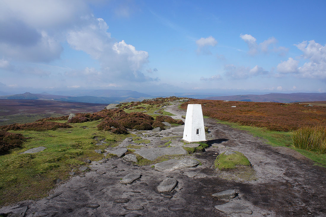
The trig point at the southern end of Stanage Edge
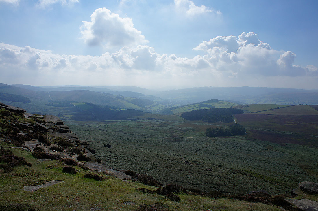
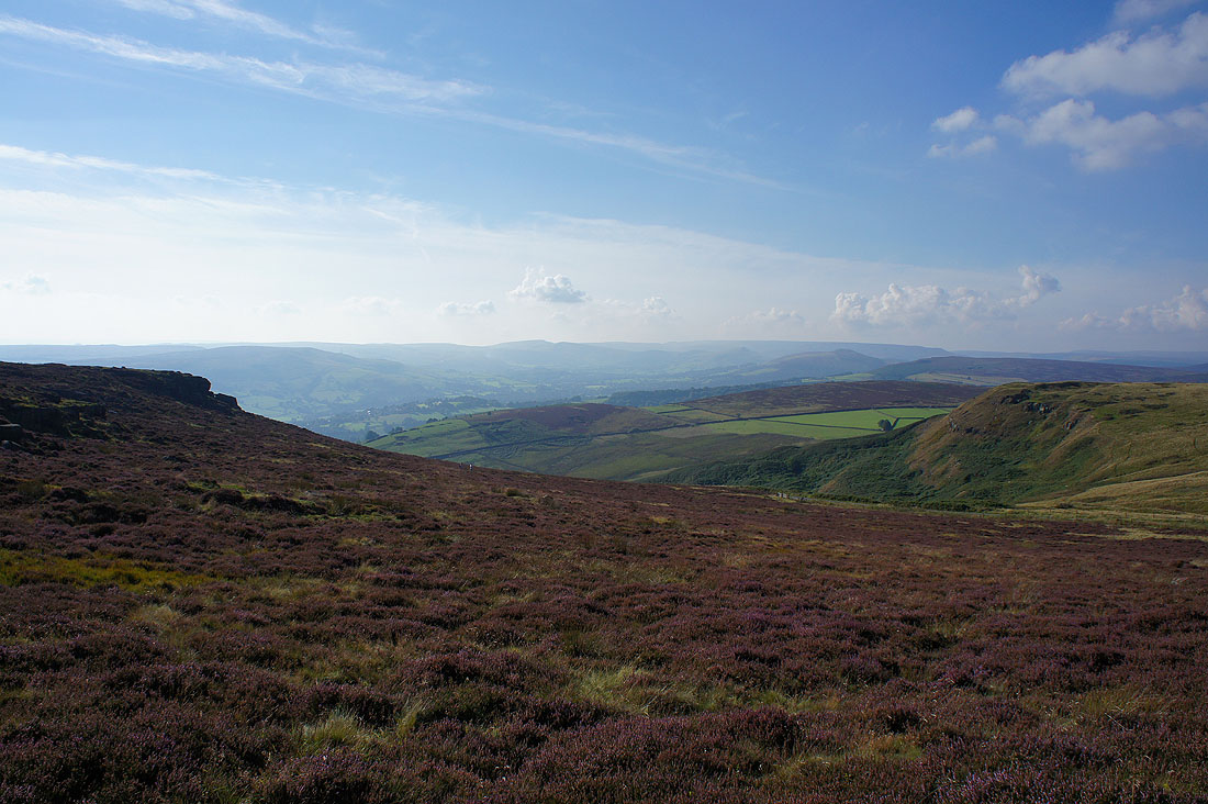
and the view from it. A rather hazy scene looking towards the Hope Valley and Kinder Scout.
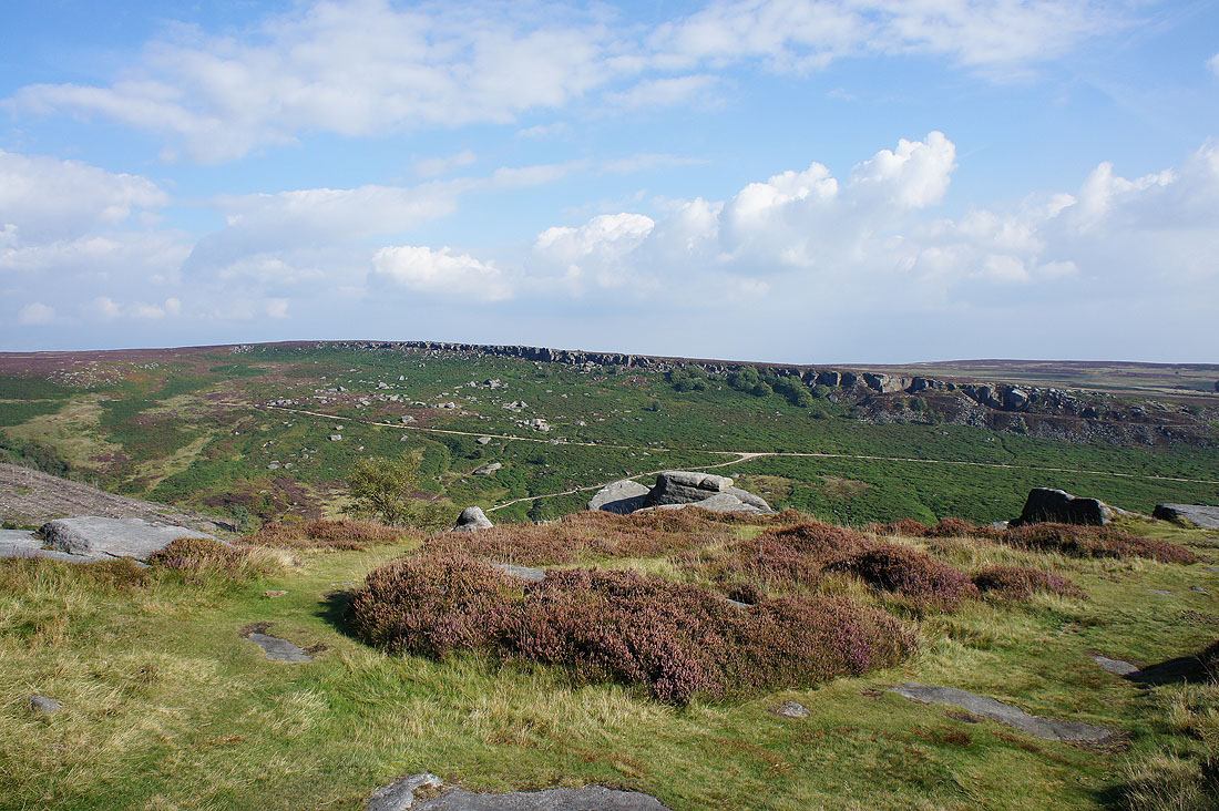
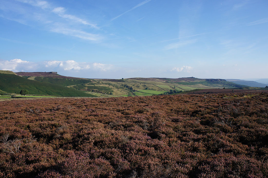
Sunshine reaches Burbage Rocks
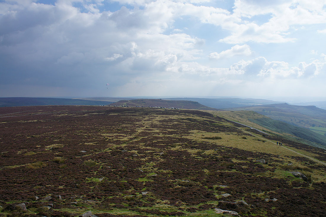
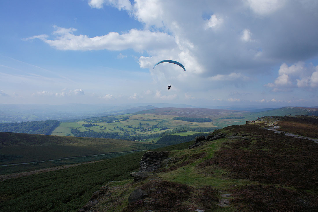
Higger Tor and the paraglider is back
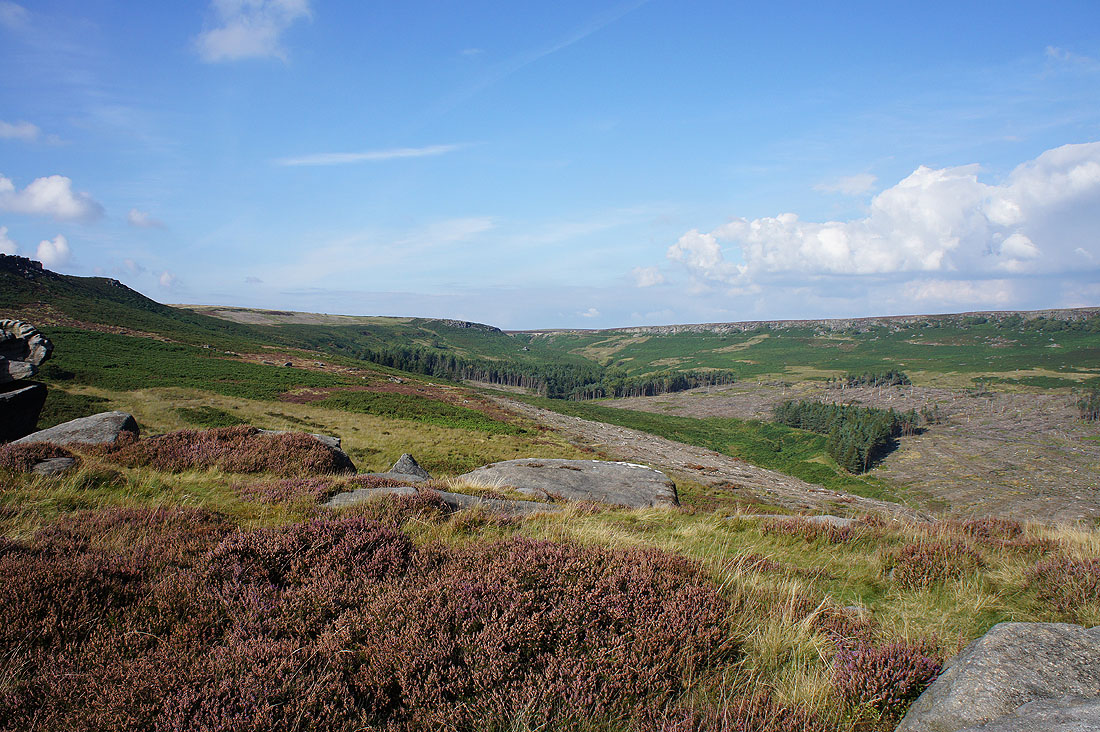
Burbage Rocks from the top of Burbage Brook
On Burbage Rocks..
..looking back to Upper Burbage Bridge
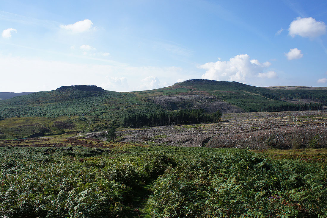
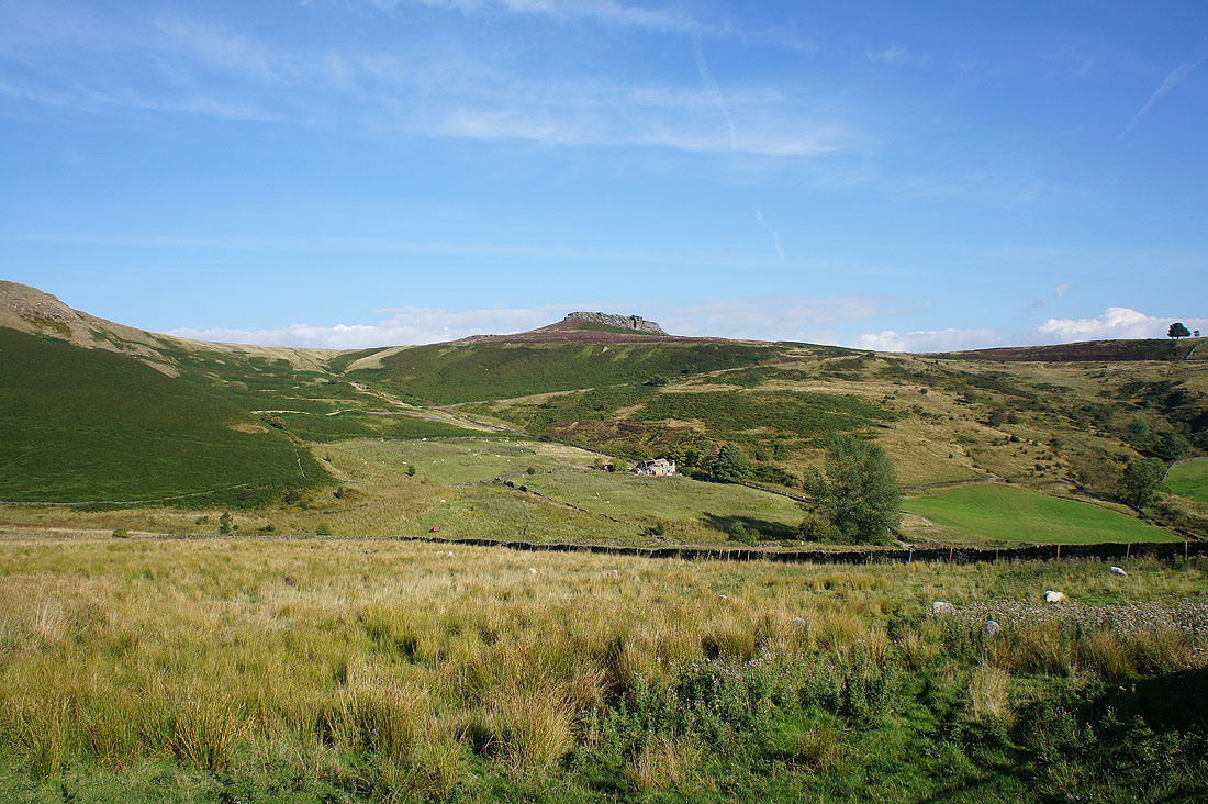
Carl Wark and Higger Tor from the Duke of Rutland's Drive. We're going to take the path down to and across Burbage Brook and up to Carl Wark.
Burbage Rocks from Carl Wark..
Higger Tor. This was definitely my favourite shot of the day.
Heading for Higger Tor
and looking back to Carl Wark
Since sunnier skies arrived about an hour ago a lovely light has developed for the second half of the afternoon to take in the view from Higger Tor. Looking up the Hope Valley to Mam Tor, Lose Hill, Win Hill and a distant Kinder Scout.
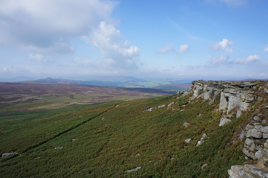
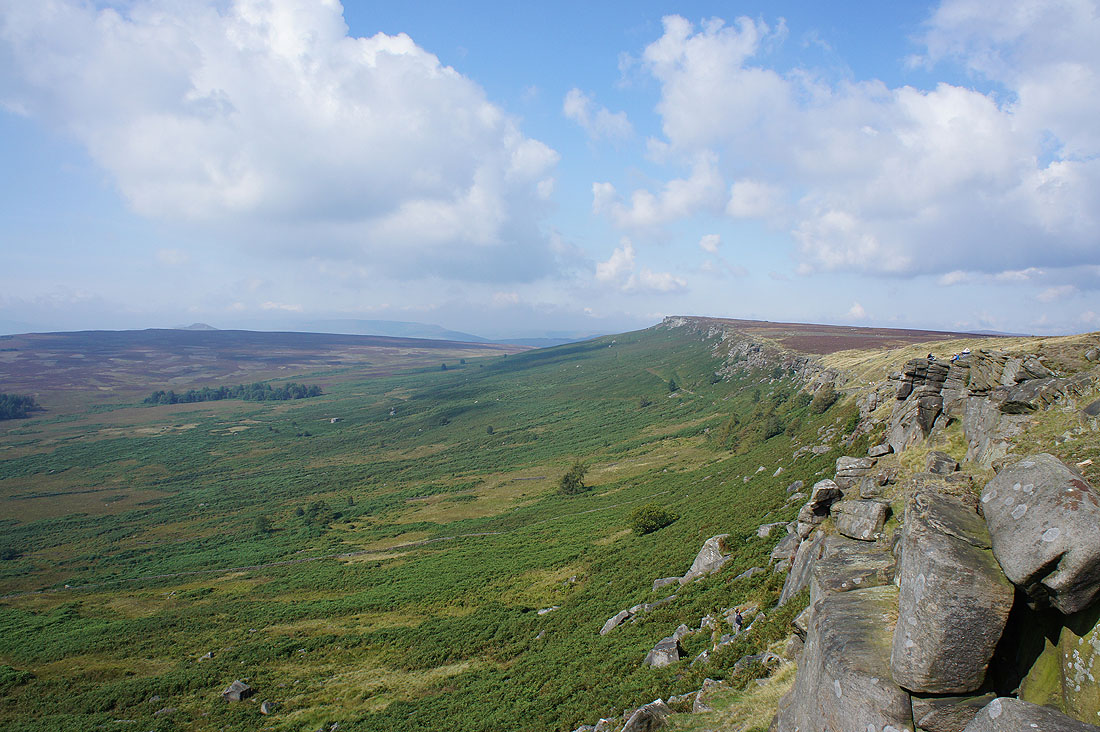
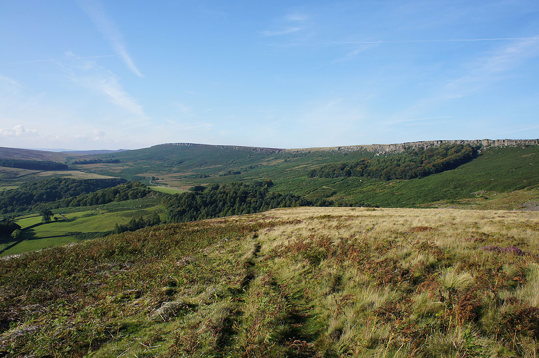
The southern end of Stanage Edge on the other side of the Fiddler's Elbow
Higger Tor as we head up the road towards Carhead Rocks
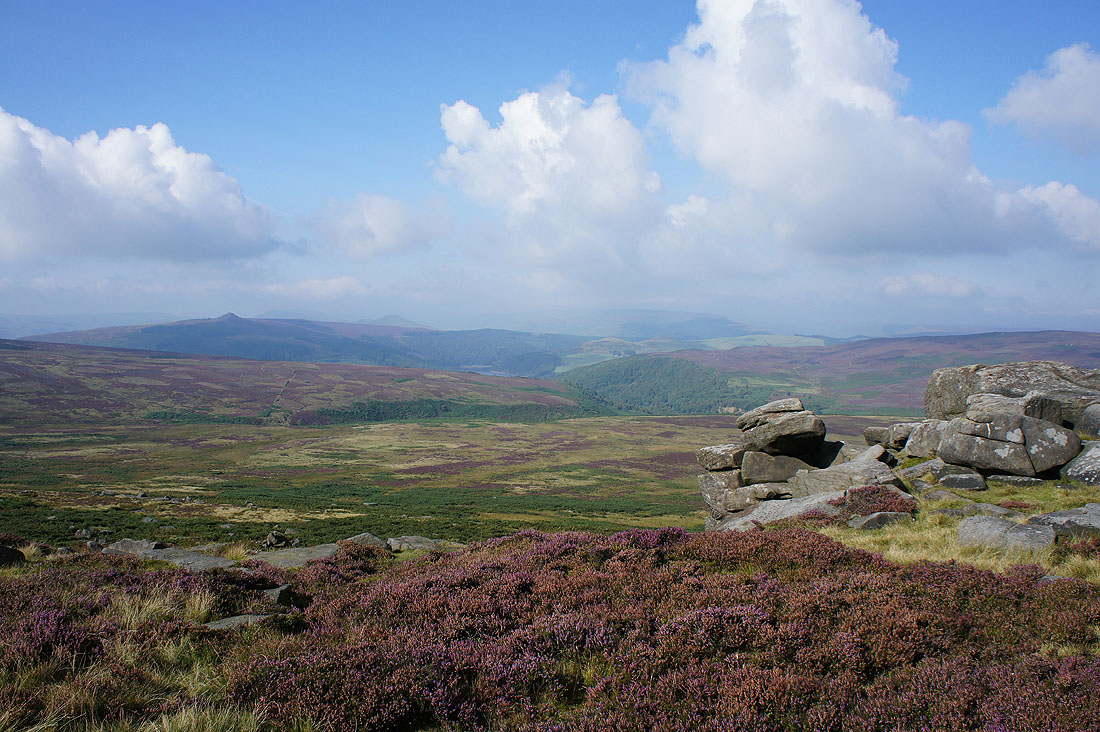
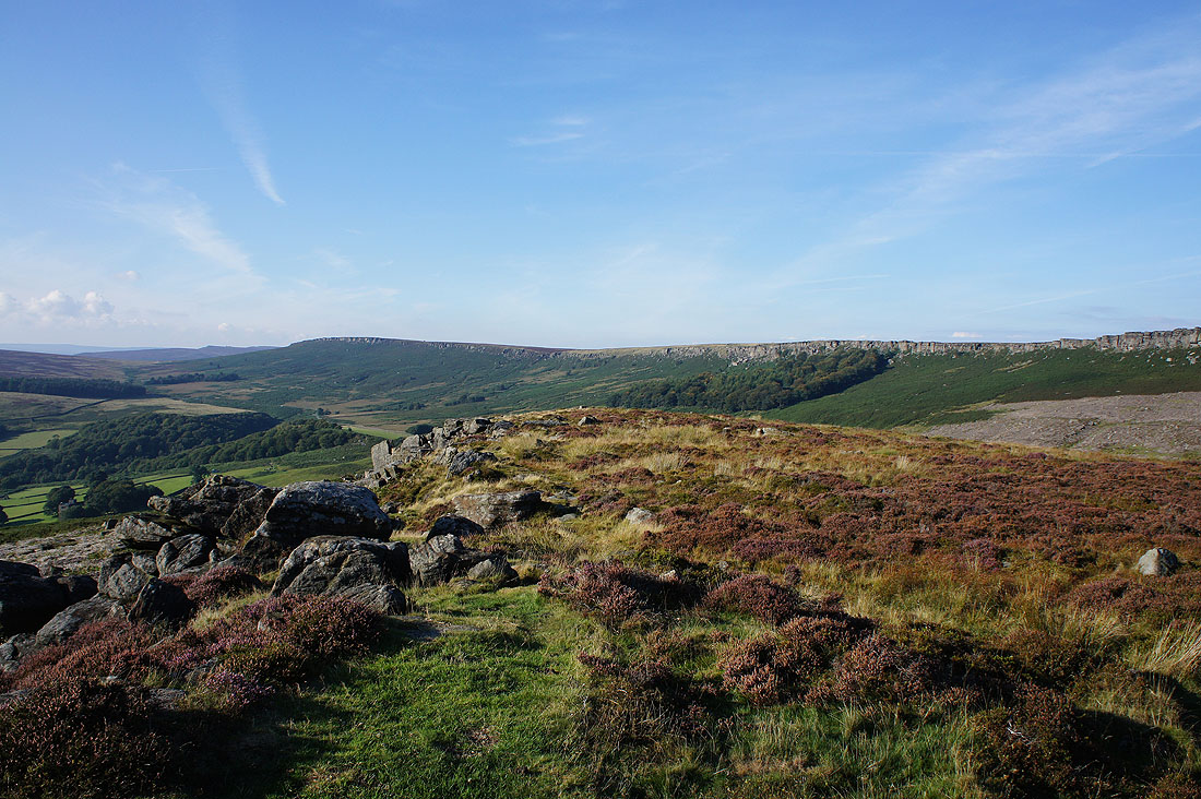
Higger Tor, Over Owler Tor and Millstone Edge from Carhead Rocks
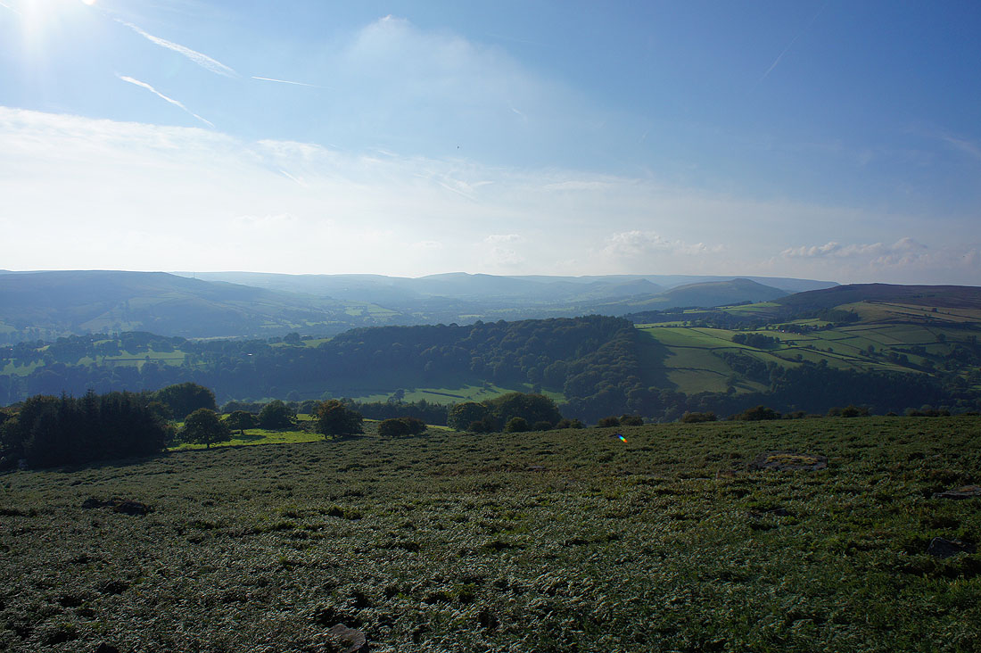
The Hope Valley
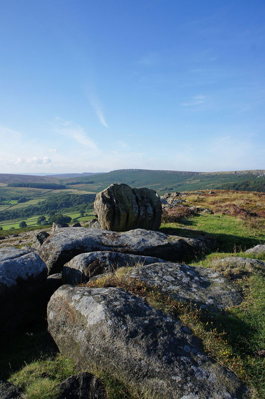
The Knuckle Stone
and Stanage Edge from Carhead Rocks
A final shot as we head down from Carhead Rocks. It won't take long to get back to the car park.