19th September 2023 - Ben Tianavaig
Walk Details
Distance walked: 4.0 miles
Total ascent: 1745 ft
OS map used: 410 - Skye, Portree & Bracadale
Time taken: 4.5 hrs
Route description: Tianavaig Bay-Camustianavaig-Ben Tianavaig-Tianavaig Bay
Given the weather forecast for this week I didn't hold out much hope for getting to the top of one of the higher hills on Skye, but there are some smaller ones that I could go for. Ben Tianavaig, which rises to the south of Portree above the Sound of Raasay, is one such hill. I took the route from one of my guidebooks, and starting from Tianavaig Bay there's a clear path to follow all the way up to the trig point and summit. The route back was to either retrace my steps back down, or take the option of heading down to the shore of the Sound of Raasay, and following that back to the start. I went for the latter one. I set off from Tianavaig Bay under bright skies, and for the ascent and time spent on the summit there were a few sunny spells but also the odd shower, which was blown along by a very strong wind. The skies clouded over for my return to Tianavaig Bay but it did at least stay dry.
From where I parked by the side of the road at the picnic site by Tianavaig Bay I walked north to the hamlet of Camustianavaig and a left hand bend in the road where there's a postbox. A path signed "Hill Path" leaves a track by a cottage at this bend, which I took and followed up onto the hillside. I followed this path uphill reaching the edge of the escarpment, and then up the escarpment to reach the trig point on the summit of Ben Tianavaig, where I stopped for lunch in the shelter of the escarpment. After this break I walked a short distance north from the summit, then east across the top of An Ceam Dubh to the top of a lower escarpment. I then made my way south down the hillside to the east of An Ceam Dubh to the shore of the Sound of Raasay. A path was then followed south by the shore and round Creagan na Sgalain to Tianavaig Bay. Since the tide was out I crossed the shore back to the picnic site by Tianavaig Bay.
Total ascent: 1745 ft
OS map used: 410 - Skye, Portree & Bracadale
Time taken: 4.5 hrs
Route description: Tianavaig Bay-Camustianavaig-Ben Tianavaig-Tianavaig Bay
Given the weather forecast for this week I didn't hold out much hope for getting to the top of one of the higher hills on Skye, but there are some smaller ones that I could go for. Ben Tianavaig, which rises to the south of Portree above the Sound of Raasay, is one such hill. I took the route from one of my guidebooks, and starting from Tianavaig Bay there's a clear path to follow all the way up to the trig point and summit. The route back was to either retrace my steps back down, or take the option of heading down to the shore of the Sound of Raasay, and following that back to the start. I went for the latter one. I set off from Tianavaig Bay under bright skies, and for the ascent and time spent on the summit there were a few sunny spells but also the odd shower, which was blown along by a very strong wind. The skies clouded over for my return to Tianavaig Bay but it did at least stay dry.
From where I parked by the side of the road at the picnic site by Tianavaig Bay I walked north to the hamlet of Camustianavaig and a left hand bend in the road where there's a postbox. A path signed "Hill Path" leaves a track by a cottage at this bend, which I took and followed up onto the hillside. I followed this path uphill reaching the edge of the escarpment, and then up the escarpment to reach the trig point on the summit of Ben Tianavaig, where I stopped for lunch in the shelter of the escarpment. After this break I walked a short distance north from the summit, then east across the top of An Ceam Dubh to the top of a lower escarpment. I then made my way south down the hillside to the east of An Ceam Dubh to the shore of the Sound of Raasay. A path was then followed south by the shore and round Creagan na Sgalain to Tianavaig Bay. Since the tide was out I crossed the shore back to the picnic site by Tianavaig Bay.
Route map
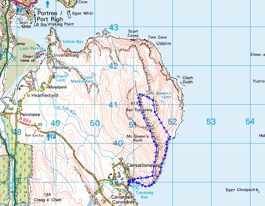
© Crown copyright. All rights reserved. License number PU 100034184.
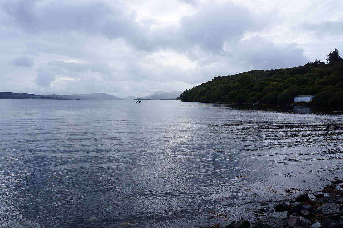
The tide is in as I set off from beside Tianavaig Bay
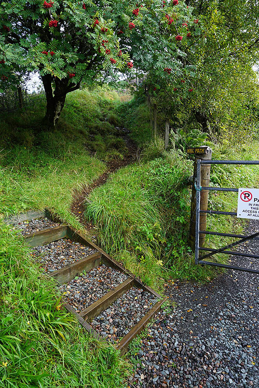
After a short walk up the road I reach the start of the path up Ben Tianavaig
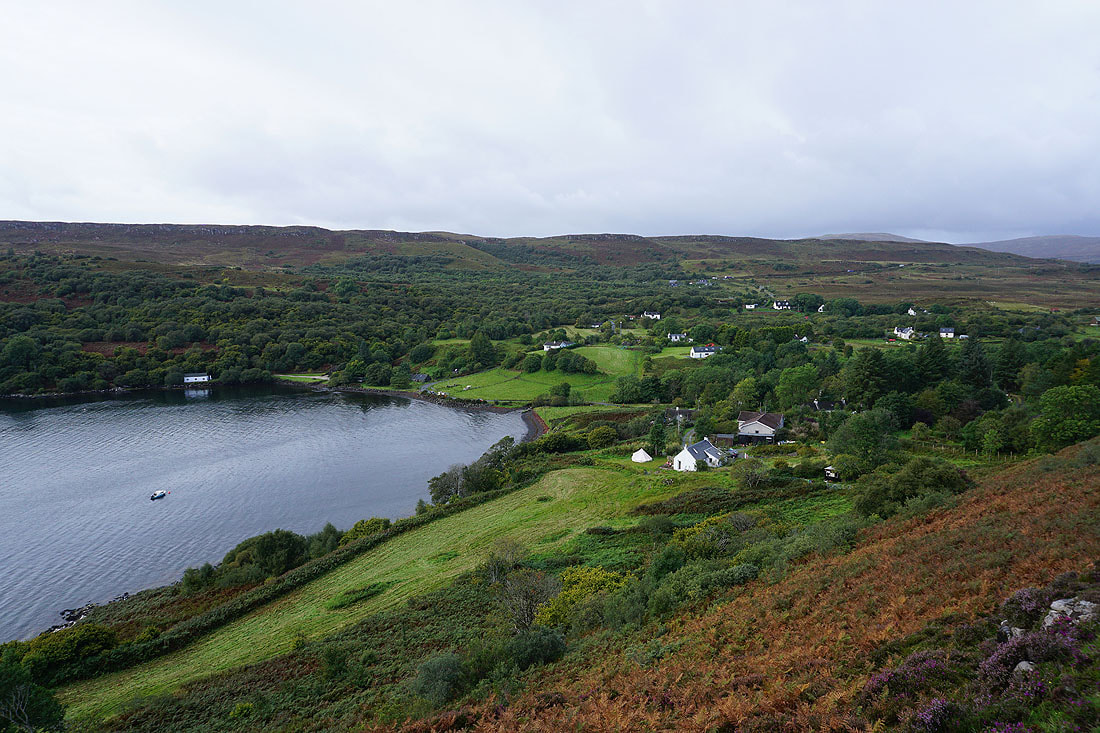
Looking back down on Tianavaig Bay and the scattered cottages of Camustianavaig
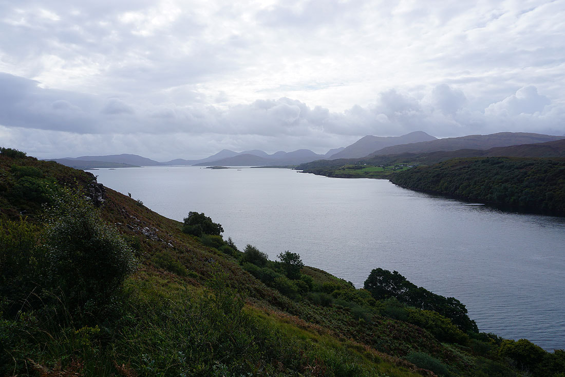
As the path gains height I get and improving view looking south down the Narrows of Raasay to the mountains of the Red Cuillin..
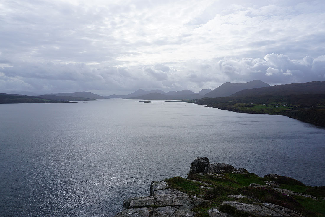
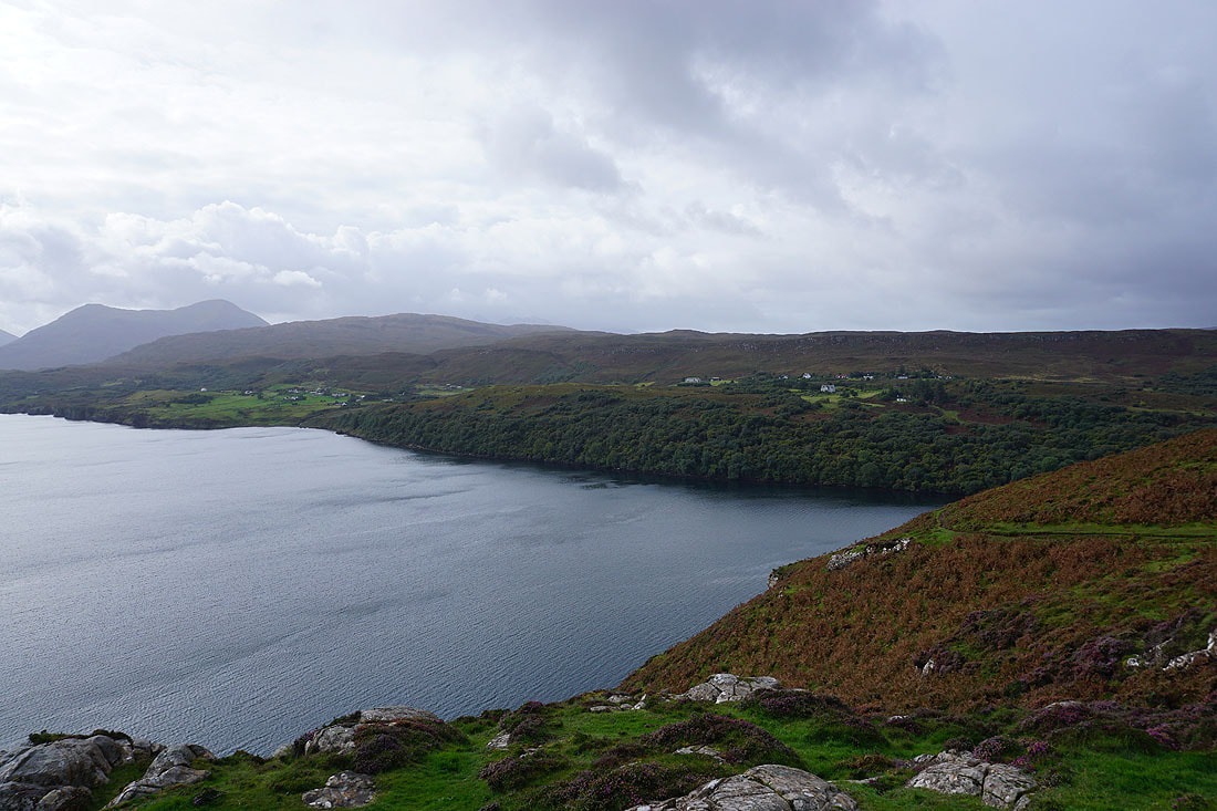
..and across Tianavaig Bay to The Braes
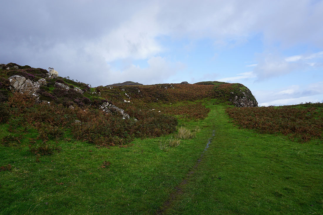
The path reaches the edge of the escarpment
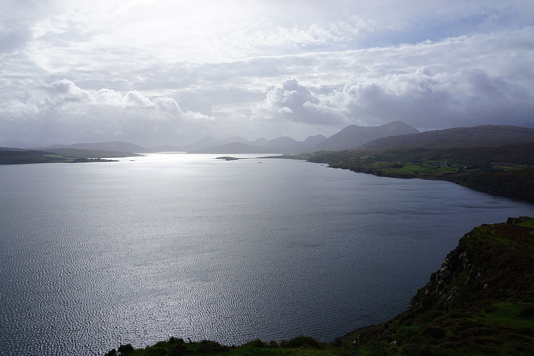
Looking south down the Narrows of Raasay to the Red Cuillin. The highest mountain on the right is Glamaig, which rises above Sligachan.
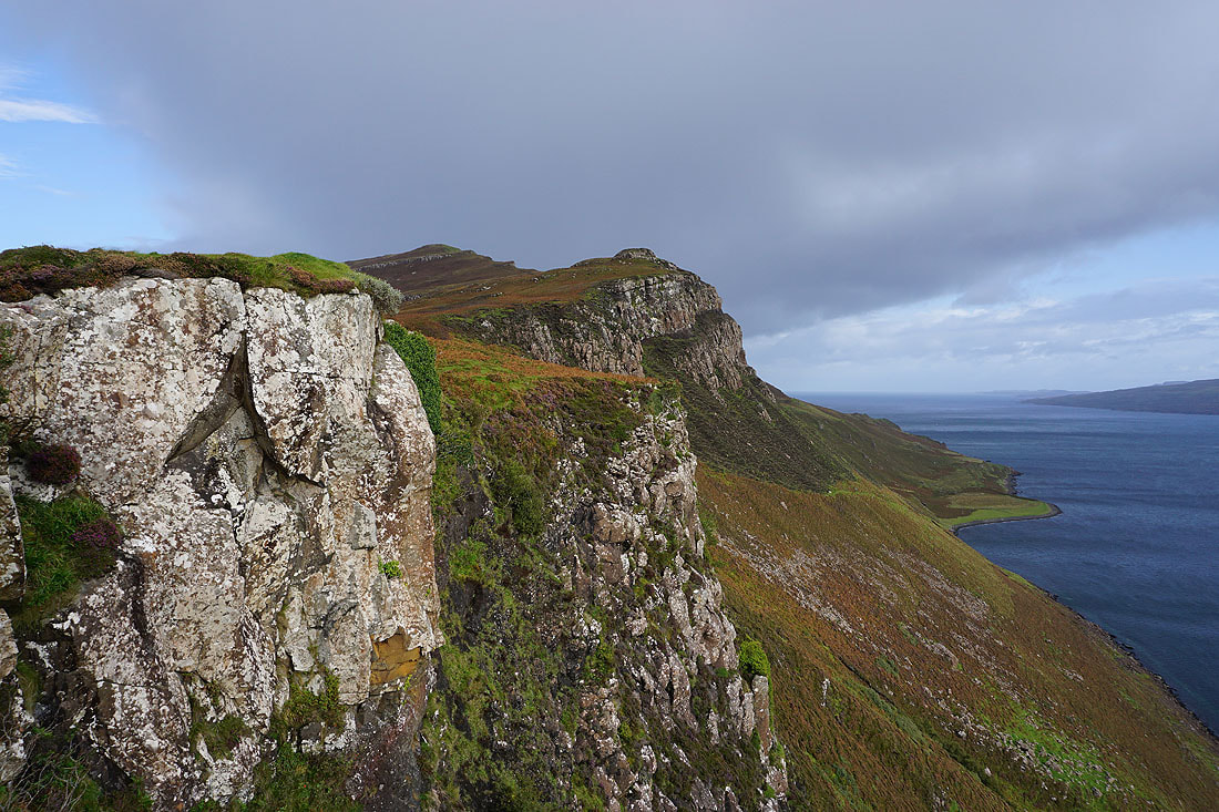
The route ahead climbs along the edge of the escarpment
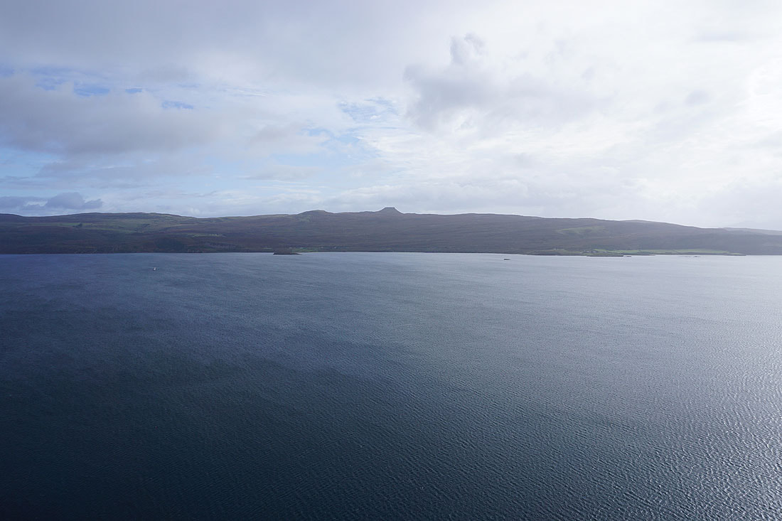
The Isle of Raasay to the east. The flat-topped hill is Dun Cann, the highest point on the island.
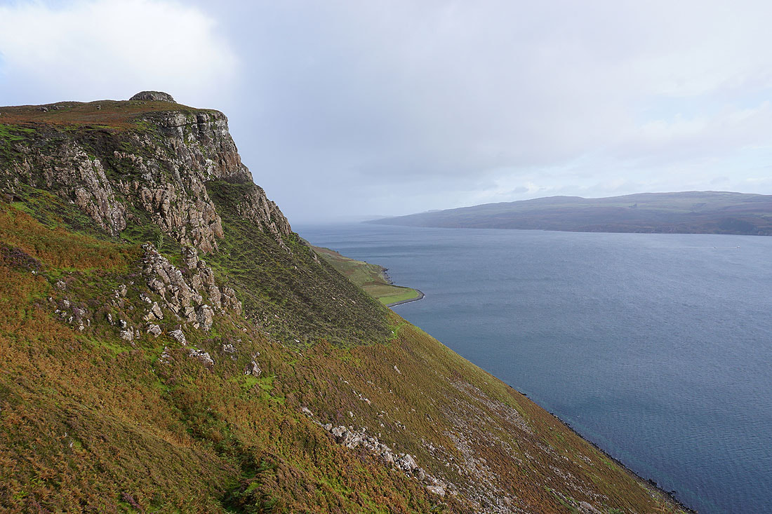
Looking along the coast to the northern part of the Isle of Raasay
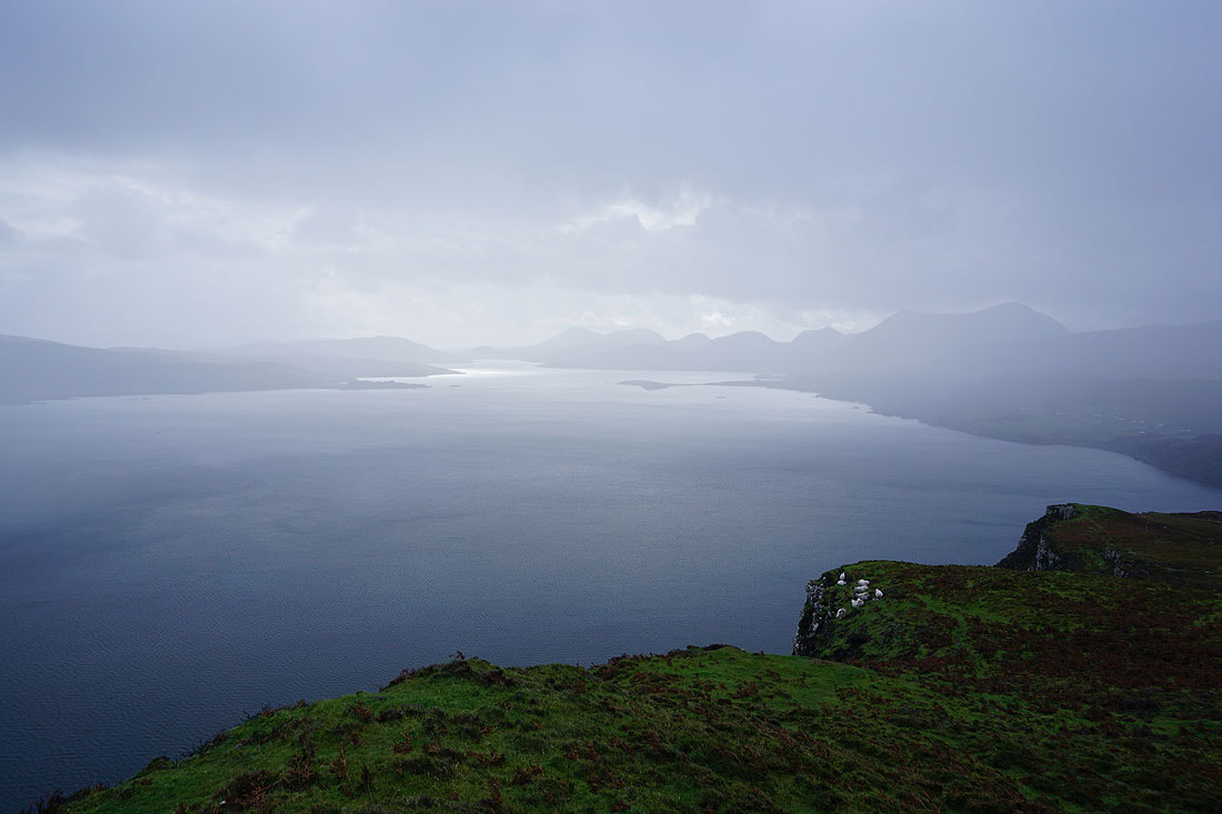
A shower passes through. It's not heavy but with the wind behind I take shelter.
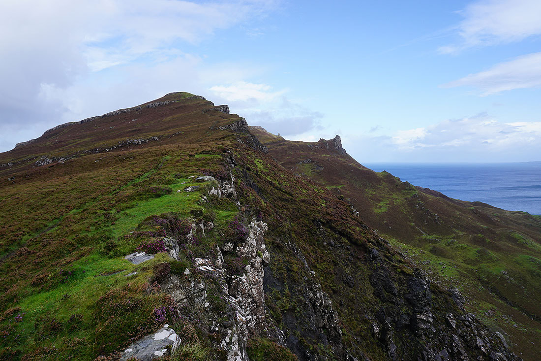
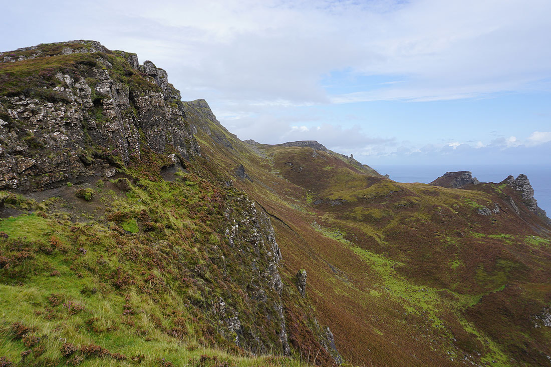
It's cleared so I continue up the edge of the escarpment..
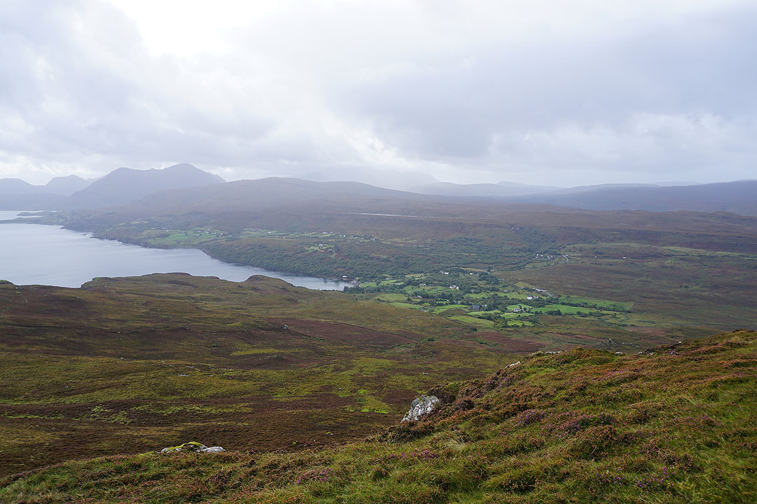
Looking down on Tianavaig Bay and Camustianavaig, with The Braes, a glimpse of Loch Fada, and Ben Lee beyond
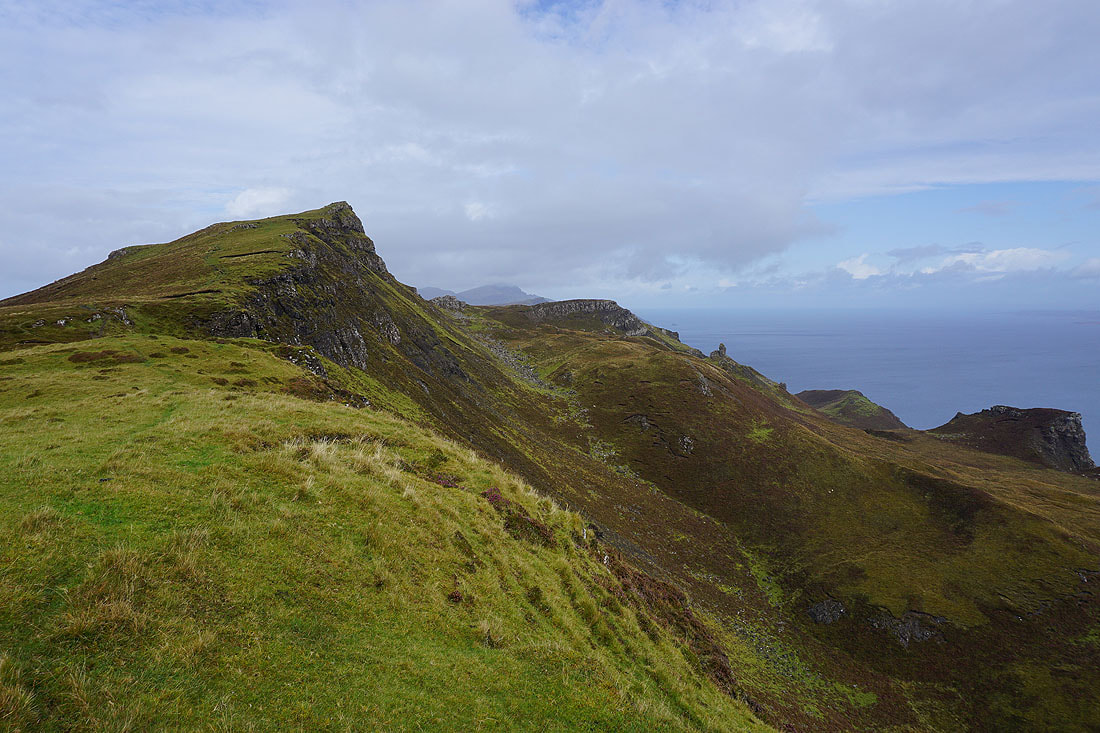
I think I might be finally approaching the summit. I can make out the southern end of the Trotternish ridge in the distance.
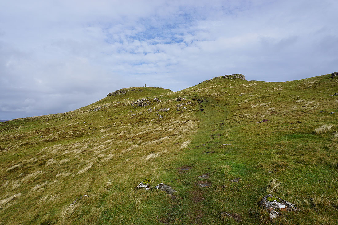
The trig point is in sight
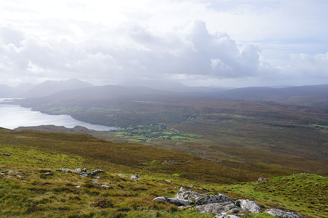
Looking down on Tianavaig Bay and Camustianavaig as I reach the summit
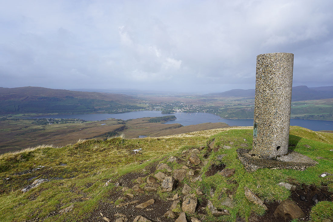
At the trig point on Ben Tianavaig. This is a "Vanessa" trig pillar, and it's the first one that I've bagged.
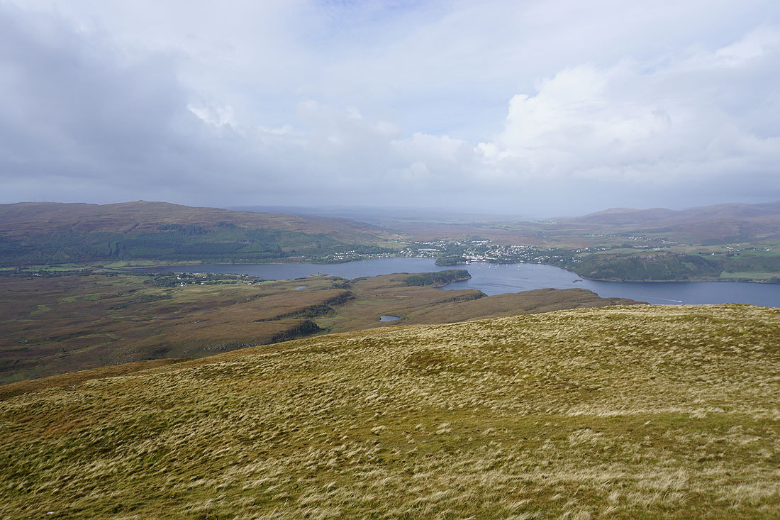
Looking down on Heatherfield, Loch Portree, and the town of Portree
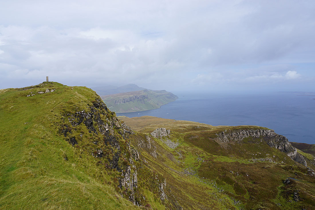
Looking north to Trotternish and up the Sound of Raasay..
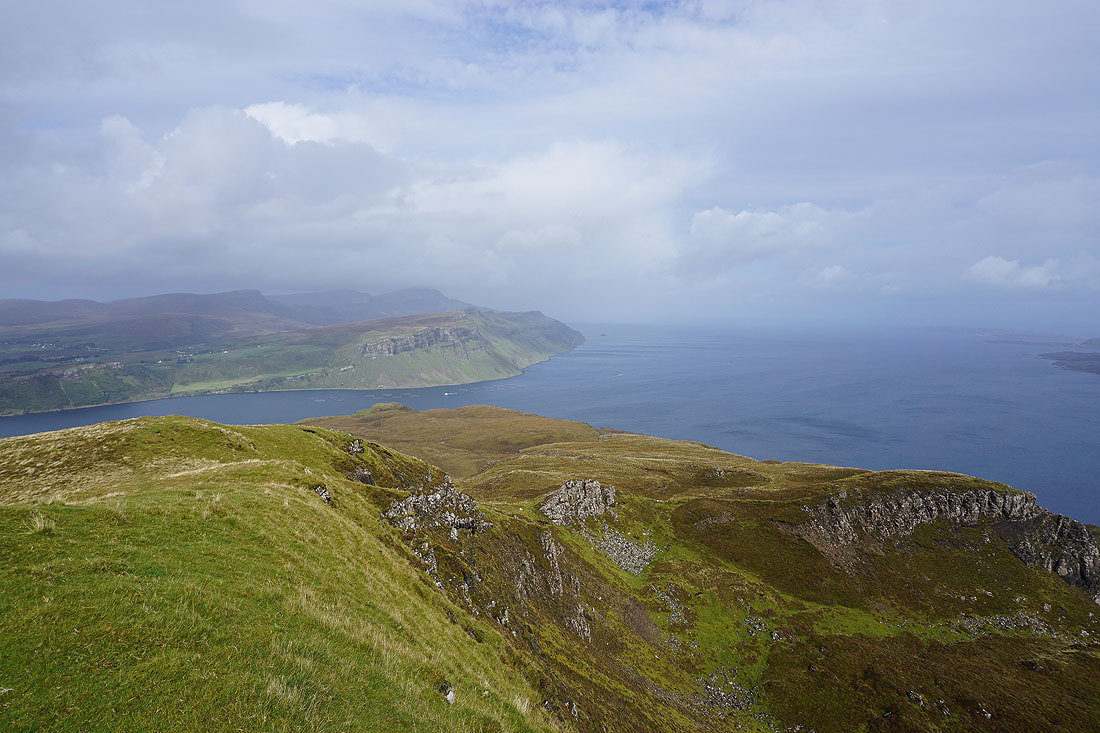
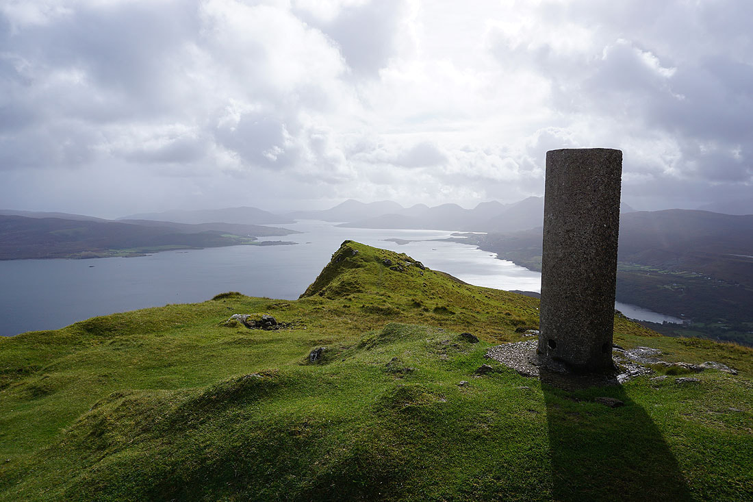
and south down the Narrows of Raasay to the Red Cuillin..

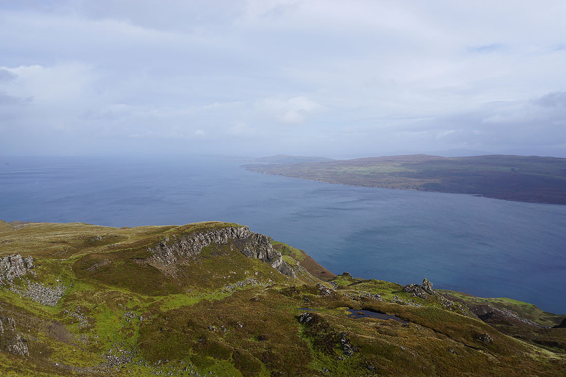
The island of Rona, and the northern part of Raasay on the other side of the Sound of Raasay
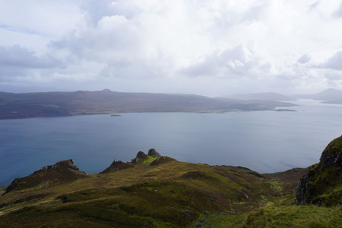
The rest of the Isle of Raasay to the east. The flat-topped hill is Dun Cann, the highest point on the island.
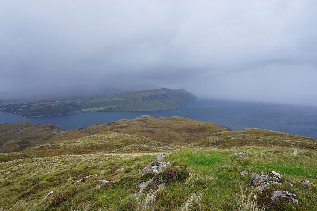
After a break for lunch I'm heading a short distance north from the summit. Trotternish is getting some rough weather, fortunately it's not heading this way.
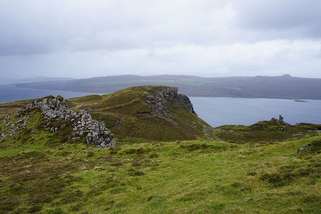
I soon turn east and make my way across the top of An Ceam Dubh..


After crossing the top of An Ceam Dubh I reach the top of a smaller escarpment below the main one, which is to the right. There's a good view south to the Red Cuillin from here.
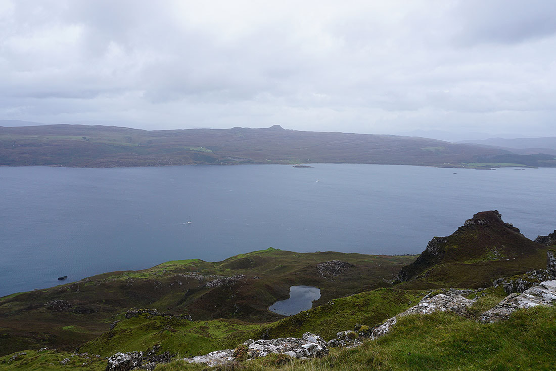
Looking across to the Isle of Raasay with McQueen's Loch below

and north to Trotternish, and its high point The Storr
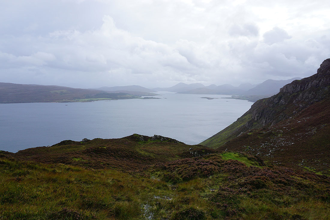
I make my down the escarpment to the bottom of An Ceam Dubh, and then down to the coast...
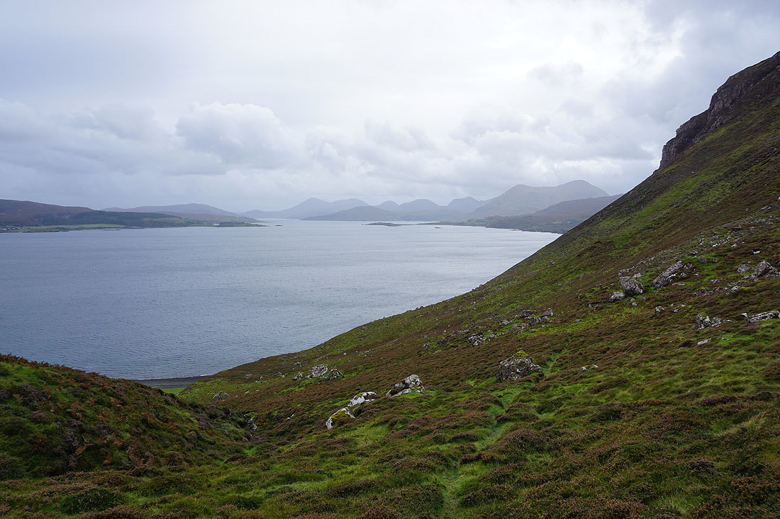
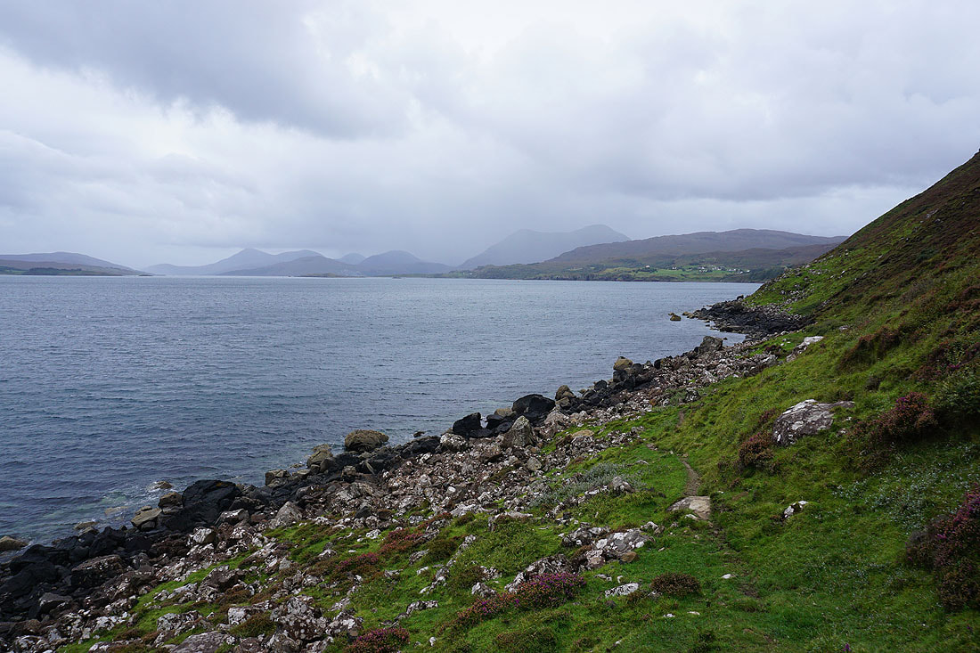
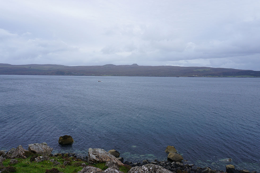
Views across to Raasay, and down the Narrows of Raasay as I walk south along the coast..
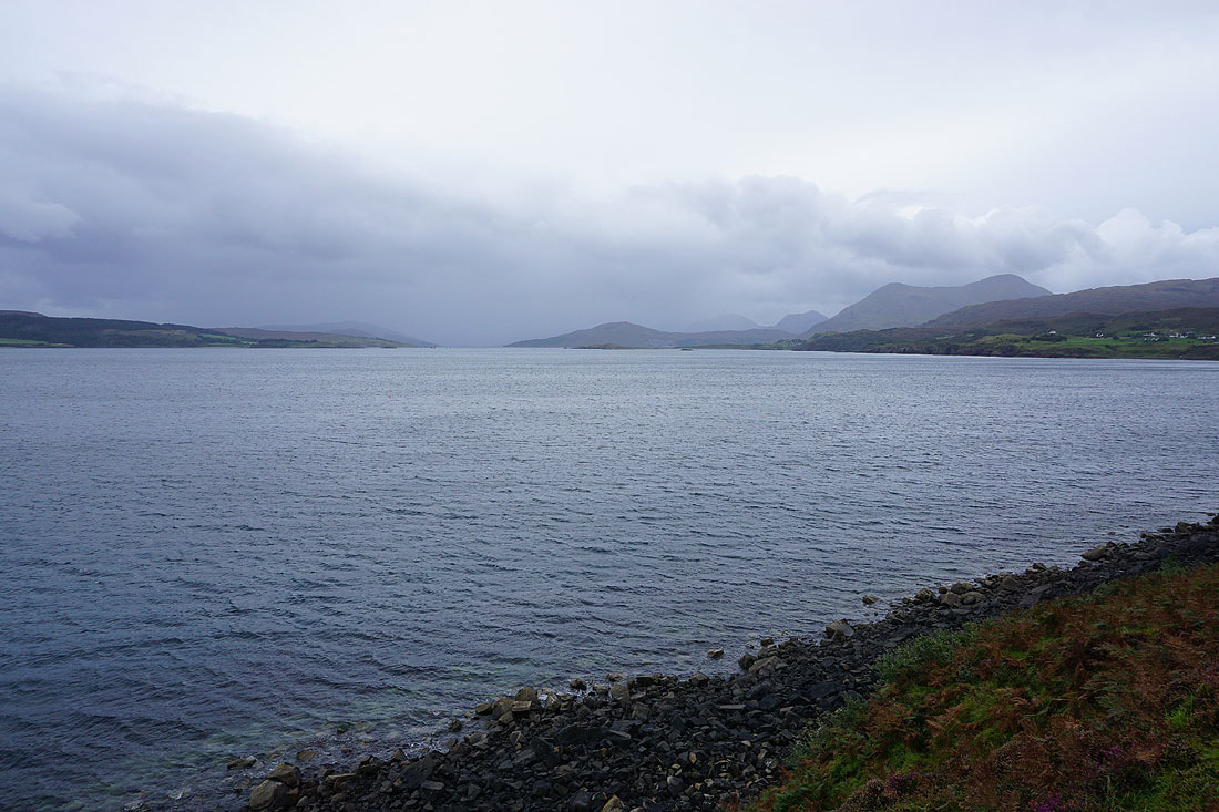
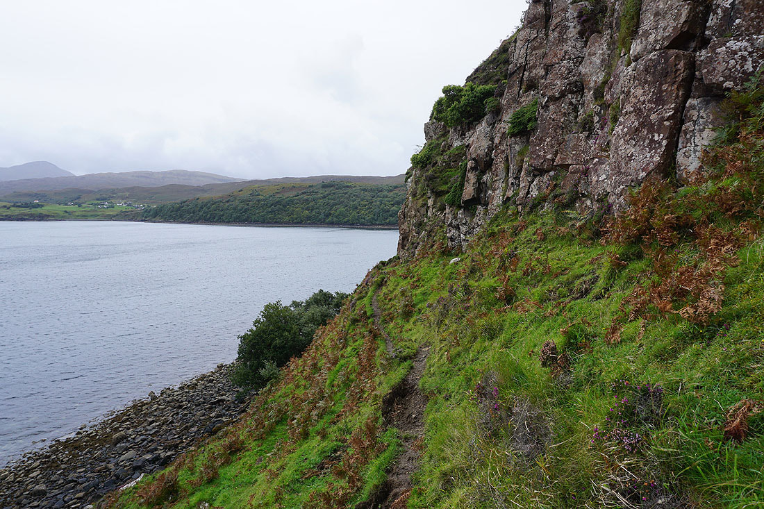
There's a narrow path to follow round the southern end of the escarpment at Creagan na Sgalain
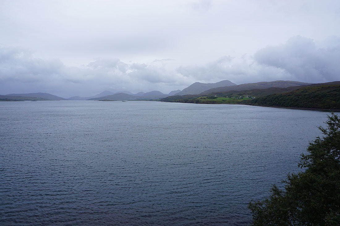
Looking south down the Narrows of Raasay to the Red Cuillin
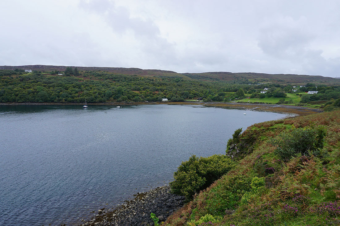
Back at Tianavaig Bay
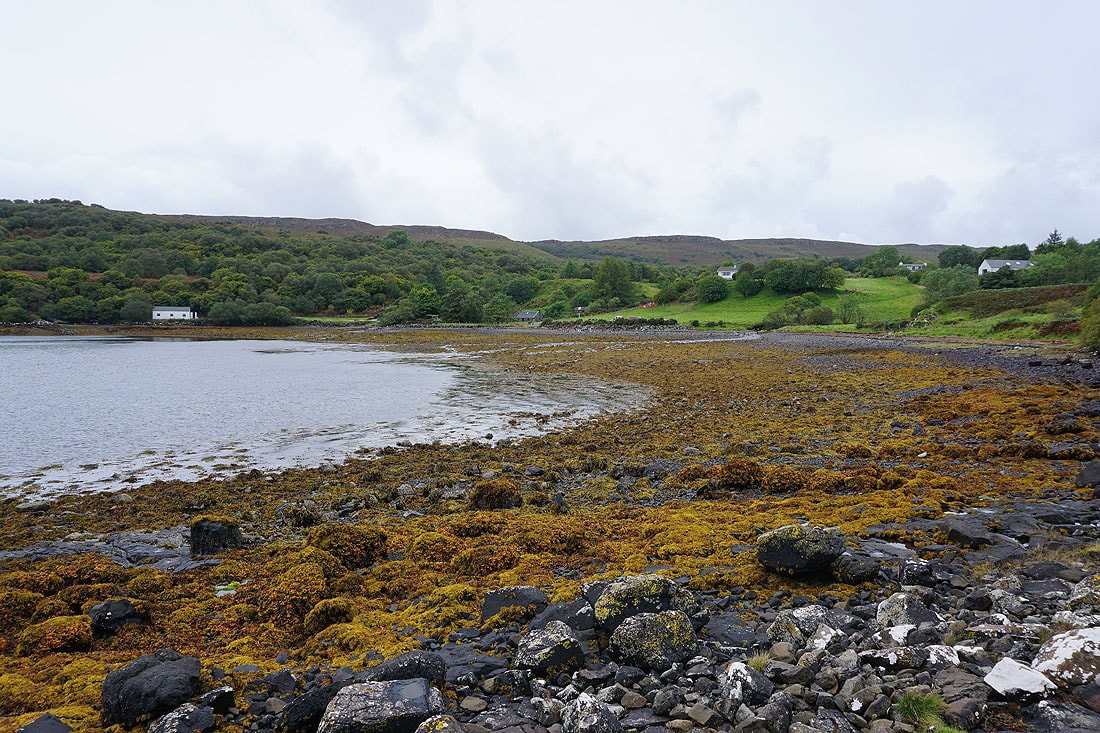
The tide is out so I can get down onto the shore and make my way across to where I parked my car
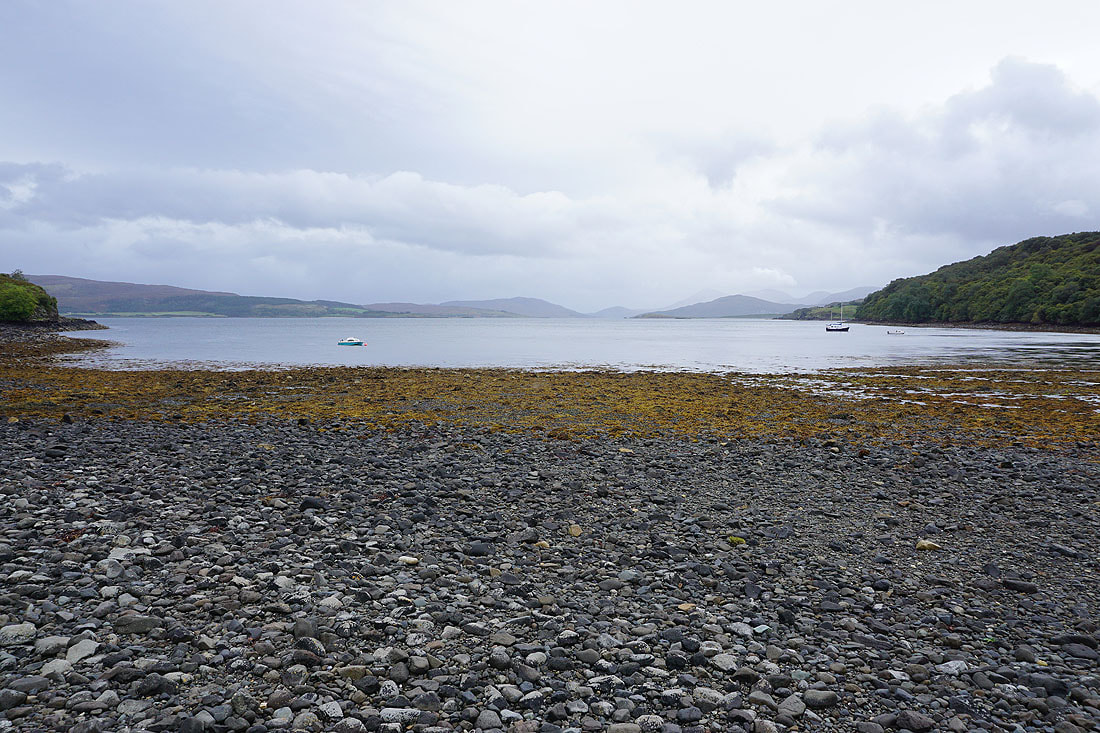
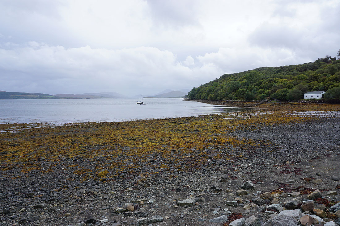
Views across Tianavaig Bay to finish my walk..
19th September 2023 - The Braes and An Aird
Walk Details
Distance walked: 2.6 miles
Total ascent: 391 ft
OS map used: 410 - Skye, Portree & Bracadale
Time taken: 1 hr
Route description: The Braes-Braes Beach-An Aird-The Braes
Since I finished my walk up Ben Tianavaig at 1500 I decided to do a short walk from one of my guidebooks, the An Aird peninsula, which is just a few miles down the coast from Ben Tianavaig, before driving back to Breakish. It was a great way to spend an hour, a sandy beach to walk across, and views of Ben Tianavaig and the Sound of Raasay.
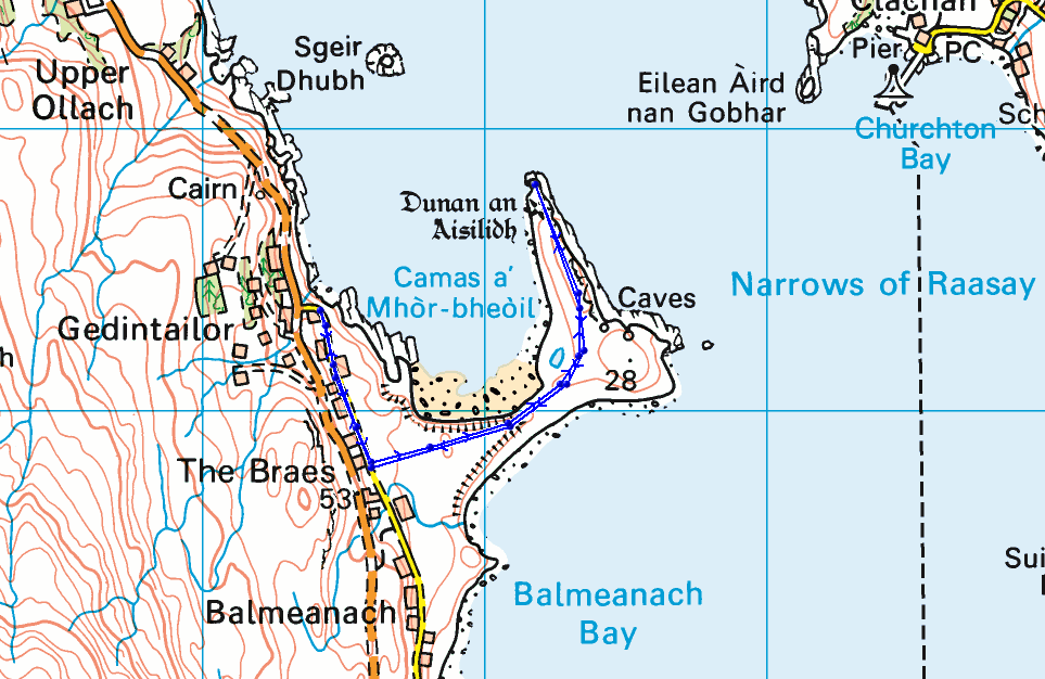
After parking by the side of the Braes road where it leaves the B883 I walked south along the road towards Balmeanach until I reached a postbox by its side. I took a clear path from here across to the spit of land that connects the An Aird peninsula to the rest of Skye and down to the beach on the northern side of the spit. I crossed the beach to An Aird and made my way to its northernmost point. Once I'd taken in the views I made my way back to the Braes road, and walked back north to where I'd parked my car.
Total ascent: 391 ft
OS map used: 410 - Skye, Portree & Bracadale
Time taken: 1 hr
Route description: The Braes-Braes Beach-An Aird-The Braes
Since I finished my walk up Ben Tianavaig at 1500 I decided to do a short walk from one of my guidebooks, the An Aird peninsula, which is just a few miles down the coast from Ben Tianavaig, before driving back to Breakish. It was a great way to spend an hour, a sandy beach to walk across, and views of Ben Tianavaig and the Sound of Raasay.
After parking by the side of the Braes road where it leaves the B883 I walked south along the road towards Balmeanach until I reached a postbox by its side. I took a clear path from here across to the spit of land that connects the An Aird peninsula to the rest of Skye and down to the beach on the northern side of the spit. I crossed the beach to An Aird and made my way to its northernmost point. Once I'd taken in the views I made my way back to the Braes road, and walked back north to where I'd parked my car.
Route map
© Crown copyright. All rights reserved. License number PU 100034184.
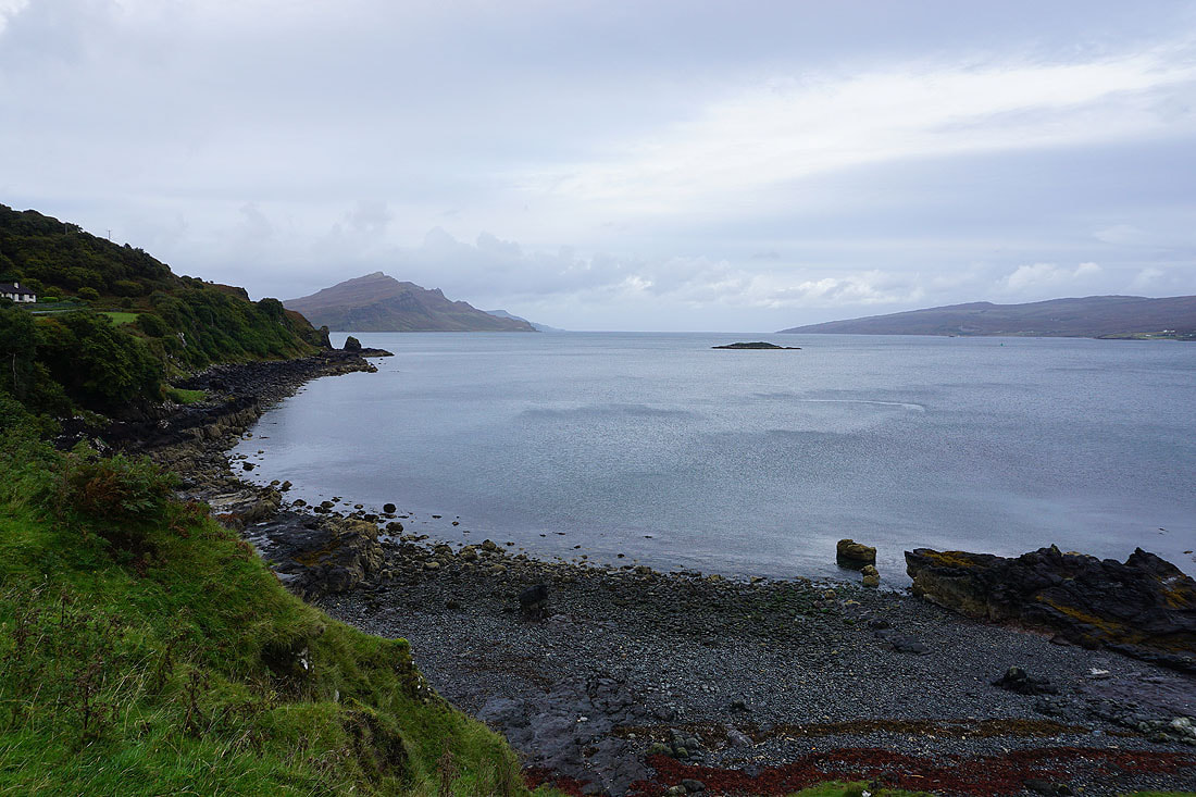
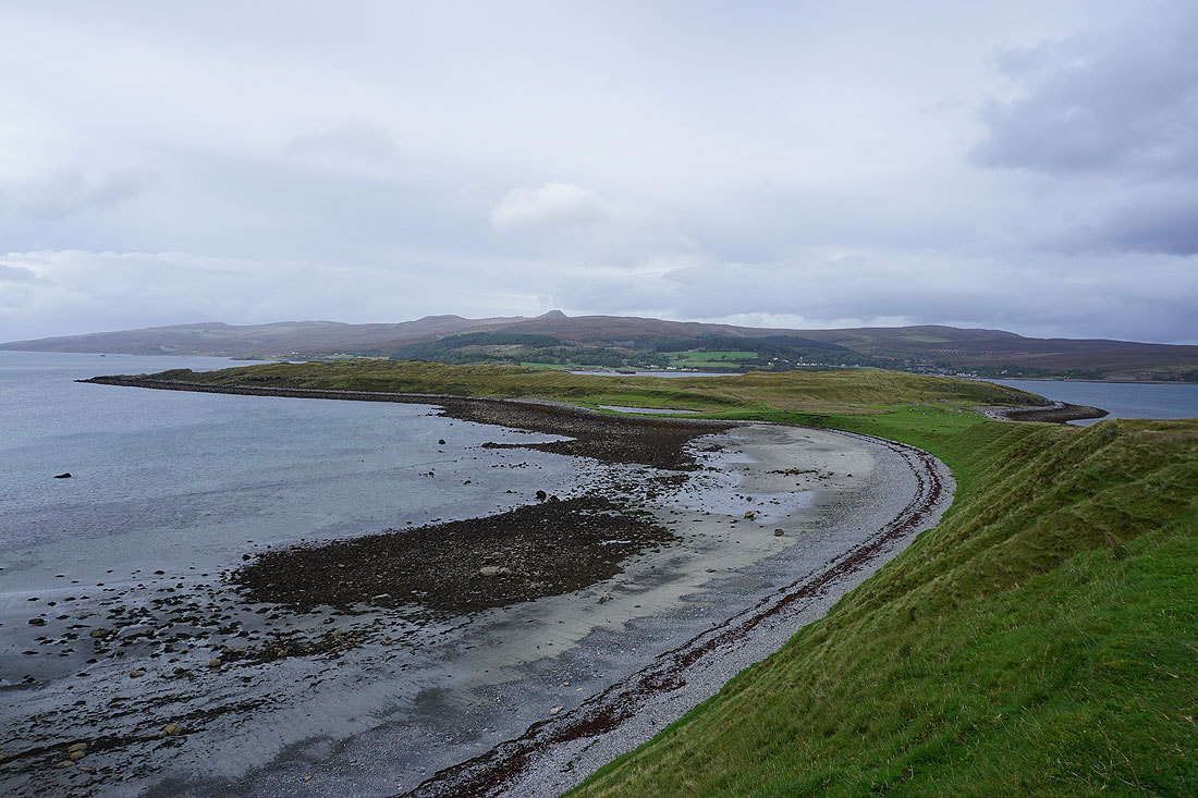
Ben Tianavaig and the Sound of Raasay as I leave the road at The Braes
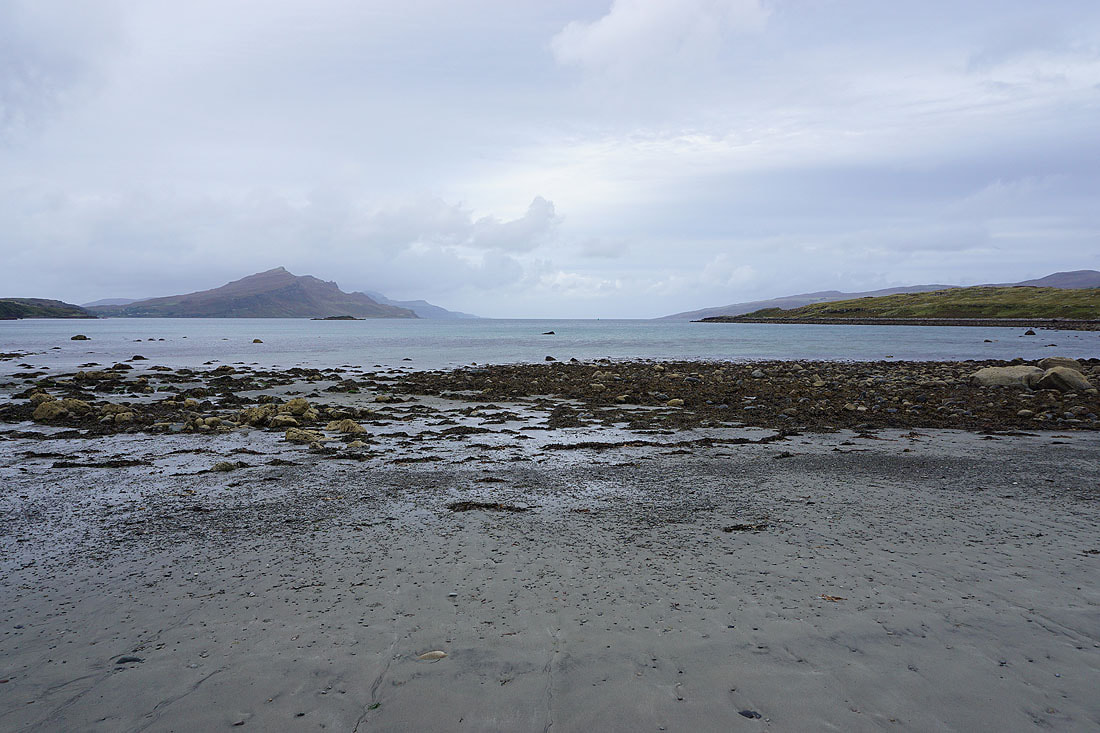
Crossing the beach to An Aird...
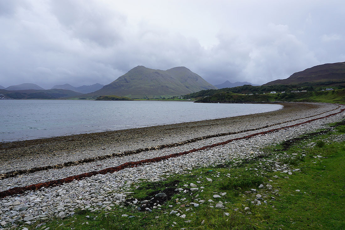
Looking across Balmeanach Bay to Glamaig
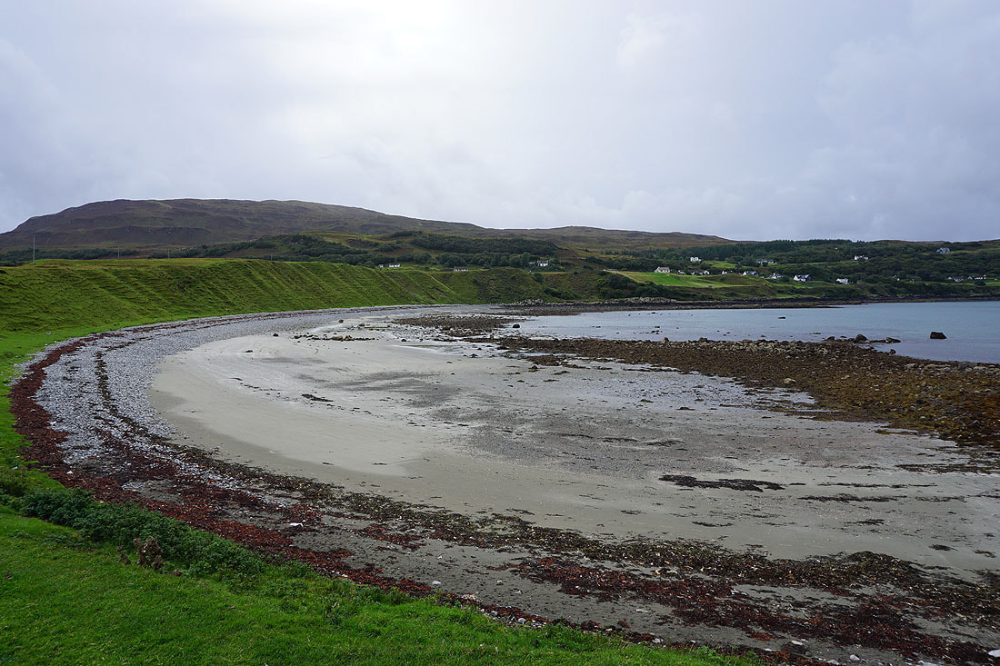
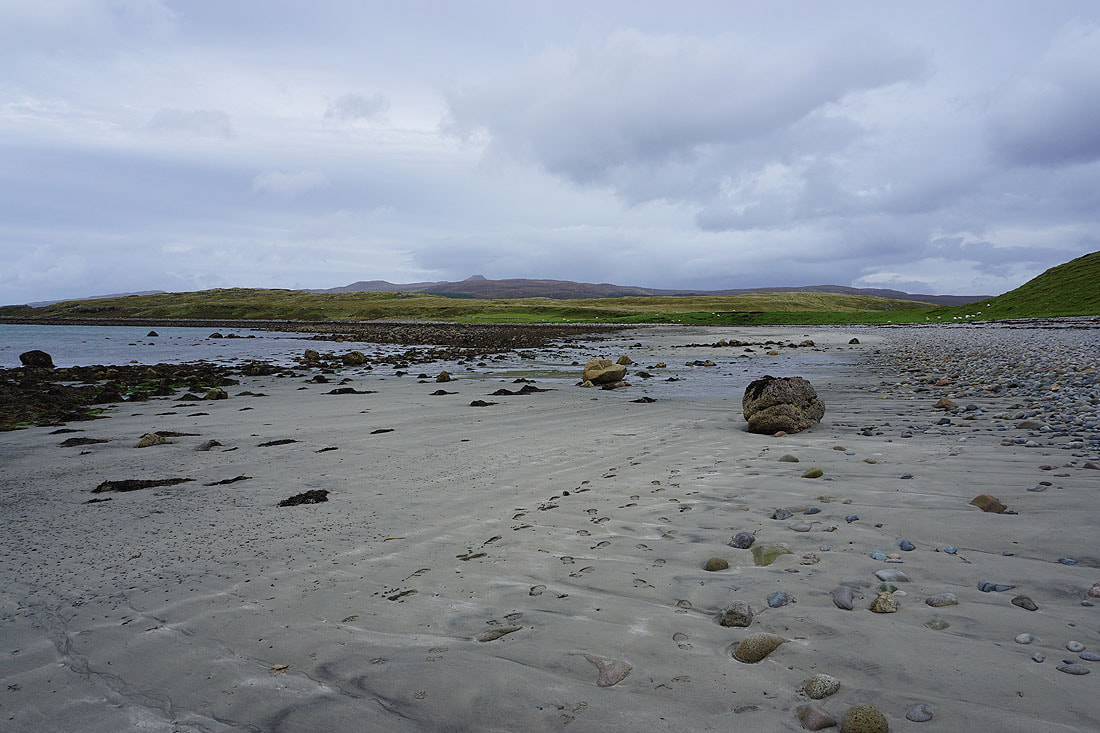
and back across the beach to The Braes
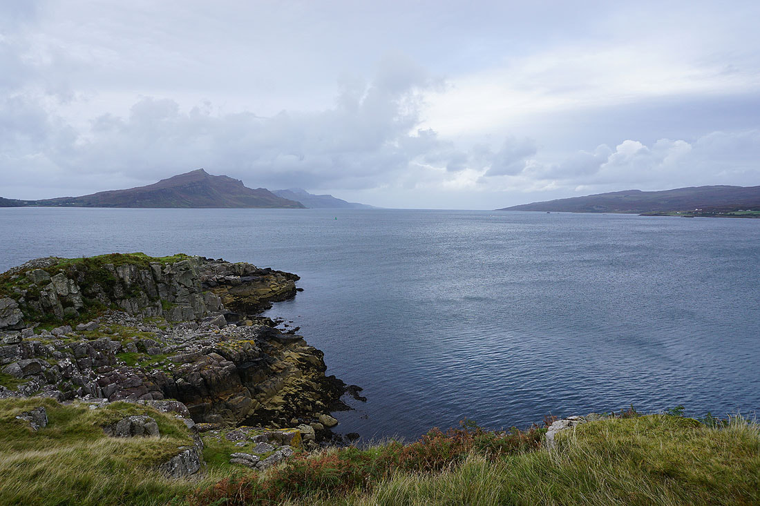
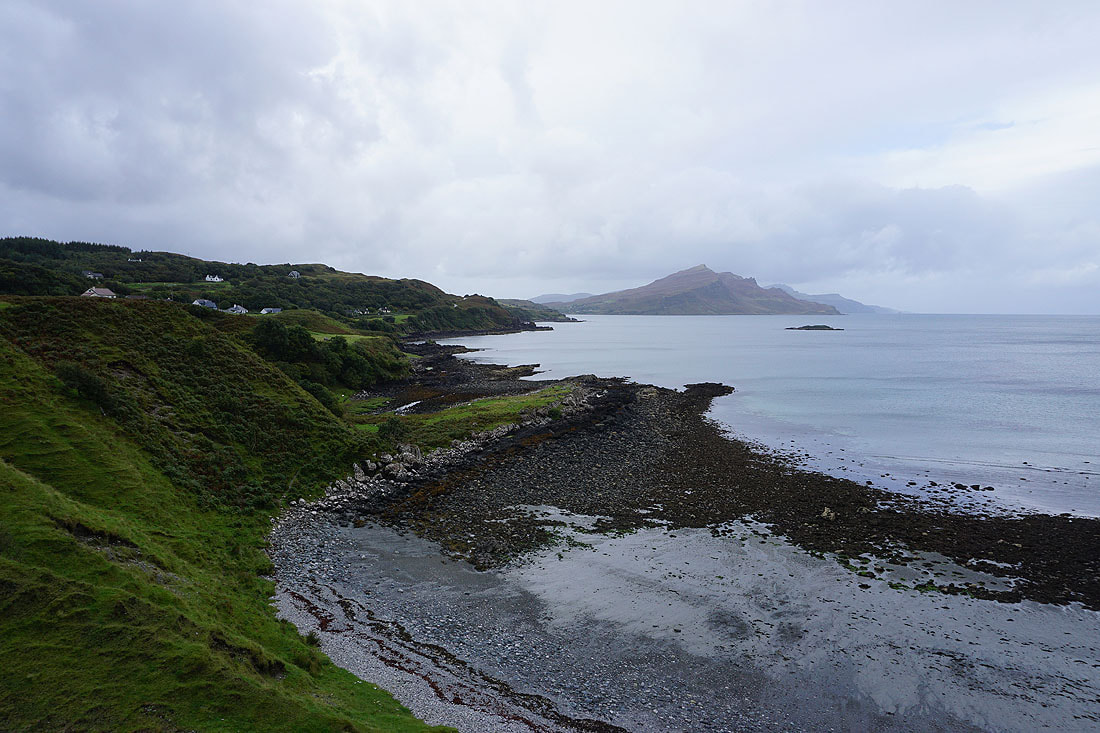
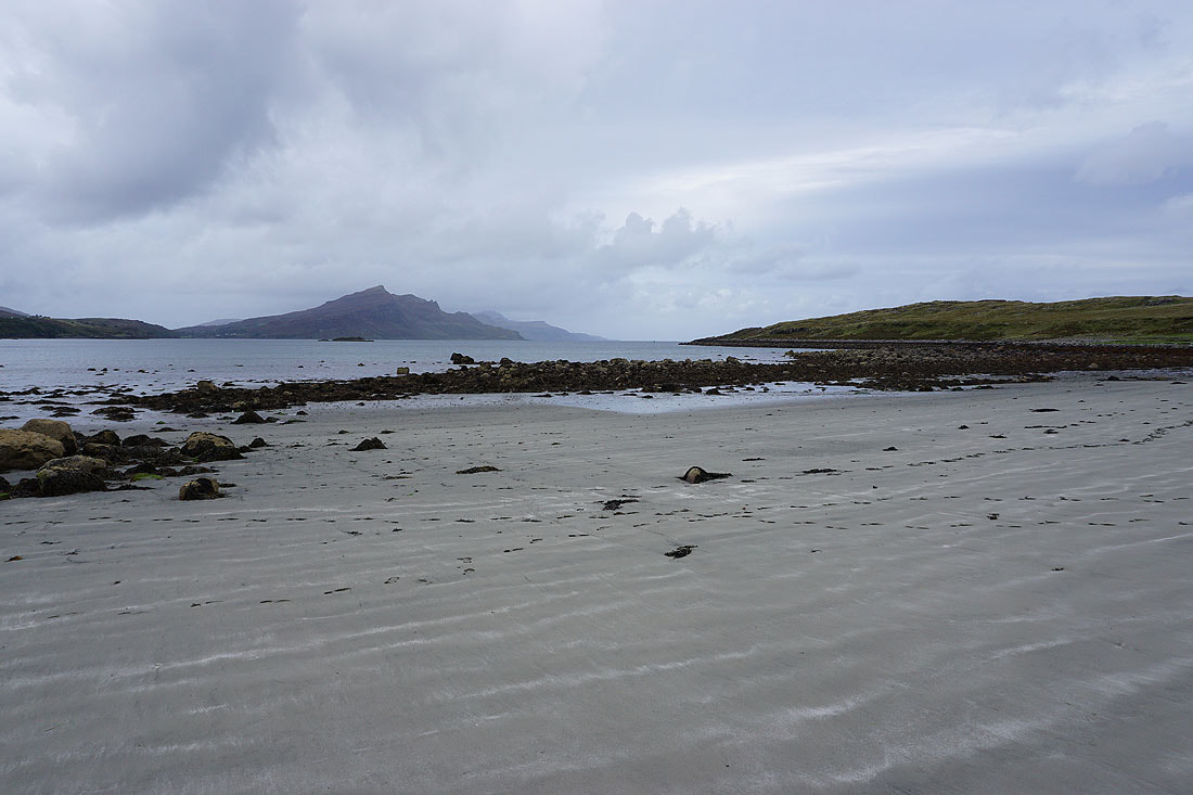
At Dunan an Aisilidh at the northern tip of An Aird. Looking north up the Sound of Raasay to Ben Tianavaig, the southern end of Trotternish, and the west coast of Raasay.
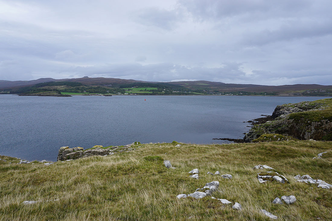
and across the Narrows of Raasay to the Isle of Raasay. I can see the slipway where the ferry from Sconser docks.
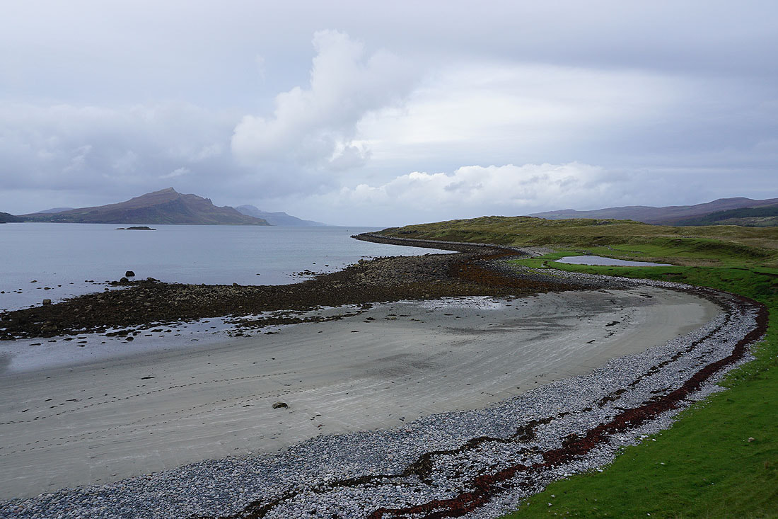
Making my way across the spit of land back to The Braes...