1st April 2012 - Calf Top
Walk Details
Distance walked: 8.9 miles
Total ascent: 2040 ft
OS map used: OL2 - Yorkshire Dales, Southern & Western areas
Time taken: 4.5 hrs
Route description: Hodge Bridge-Barbon-High Road-Mill House-Calf Top-Castle Knott-Eskholme Pike-Eskholme-Barbon-Hodge Bridge
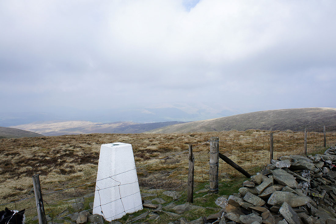
This is the third time I've done a walk to Calf Top and I've yet to see the best of the view that can be had from its summit. Even worse, and as if to taunt me, the haze and cloud cleared away as we were making the final descent back into the valley. Next time I'll go when there's guaranteed good visibility.
We started this walk from the parking area next to Hodge Bridge just off the A683 as it goes past Barbon. We walked up into the village and turned left to head north along High Road. After a couple of miles we turned right to head for the cottages of Mill House where access land can be reached. Most of the climb upto Calf Top was then done following a quad bike track in the grass. From Calf Top it was then down to Castle Knott, Eskholme Pike and back to Barbon.
Total ascent: 2040 ft
OS map used: OL2 - Yorkshire Dales, Southern & Western areas
Time taken: 4.5 hrs
Route description: Hodge Bridge-Barbon-High Road-Mill House-Calf Top-Castle Knott-Eskholme Pike-Eskholme-Barbon-Hodge Bridge
This is the third time I've done a walk to Calf Top and I've yet to see the best of the view that can be had from its summit. Even worse, and as if to taunt me, the haze and cloud cleared away as we were making the final descent back into the valley. Next time I'll go when there's guaranteed good visibility.
We started this walk from the parking area next to Hodge Bridge just off the A683 as it goes past Barbon. We walked up into the village and turned left to head north along High Road. After a couple of miles we turned right to head for the cottages of Mill House where access land can be reached. Most of the climb upto Calf Top was then done following a quad bike track in the grass. From Calf Top it was then down to Castle Knott, Eskholme Pike and back to Barbon.
Route map
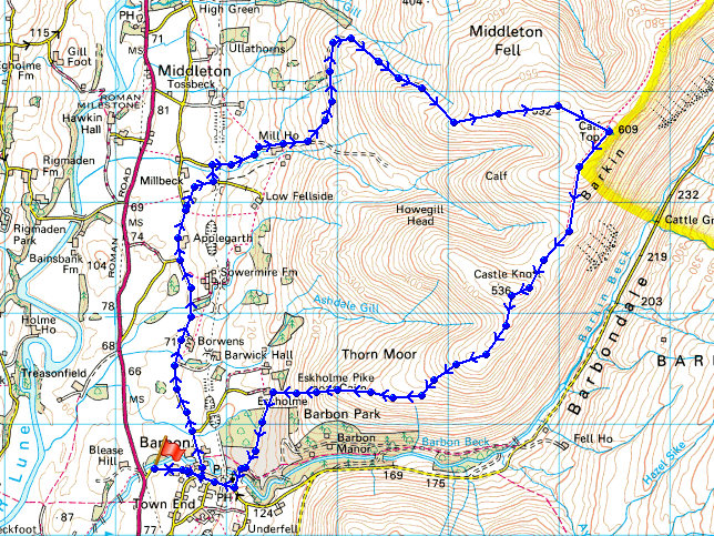
© Crown copyright. All rights reserved. License number PU 100034184.
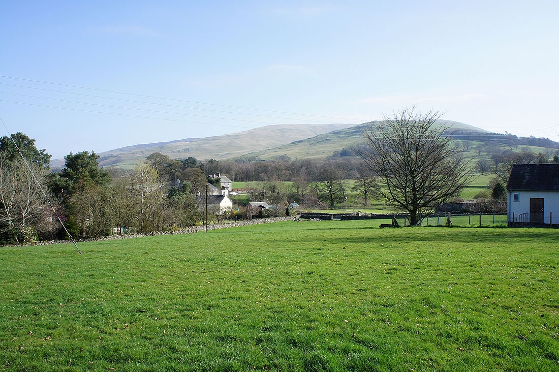
Middleton Fell behind Barbon at the start of the walk
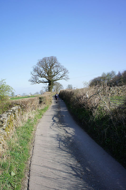
On High Road
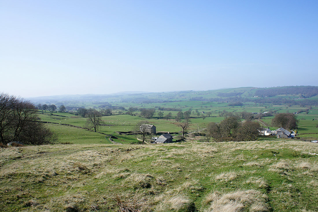
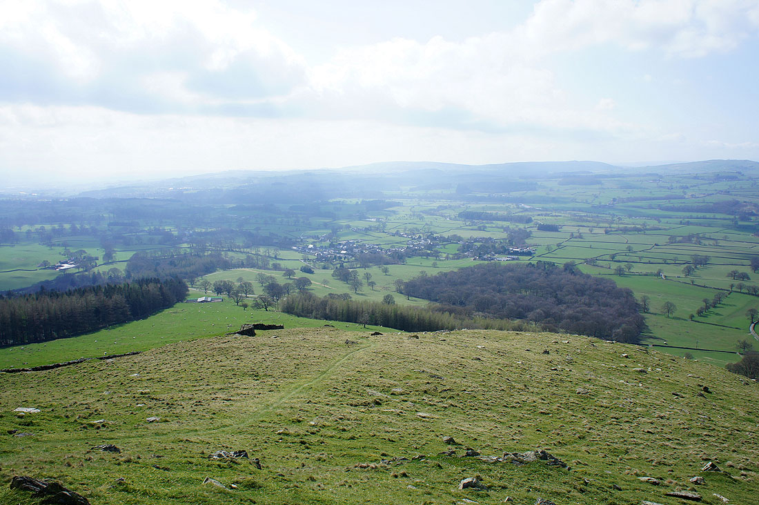
The Lune valley below Mill House as we enter access land and start the climb to Calf Top
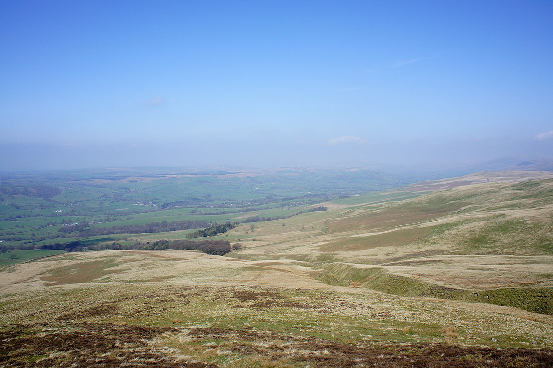
The Lune valley from the climb
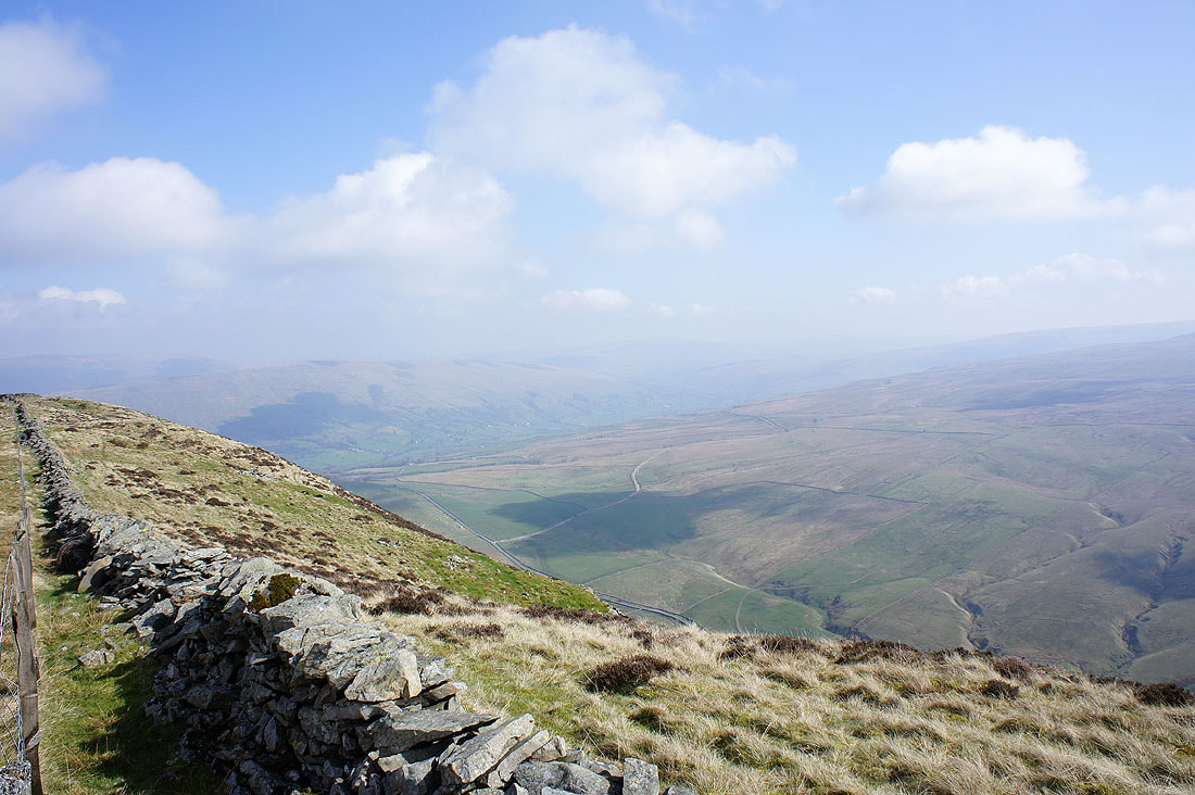
A very hazy view towards Dentdale from Calf Top
The Howgills just visible
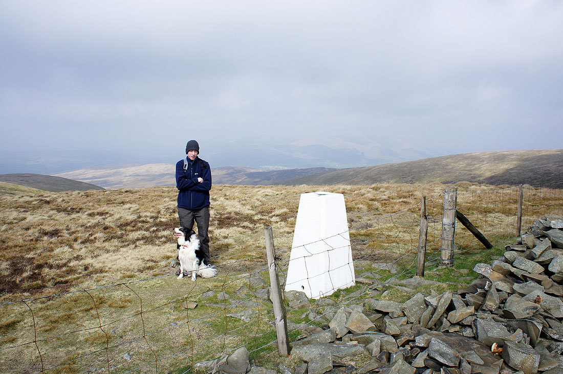
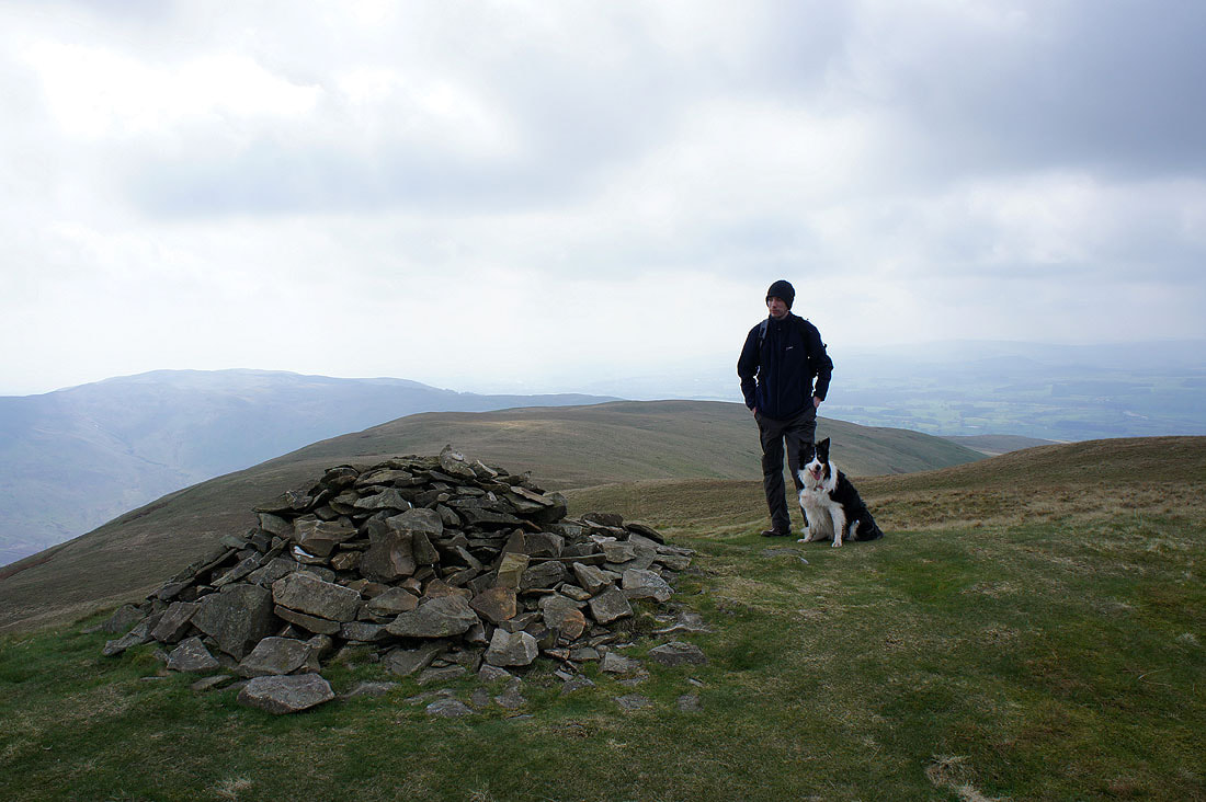
Andy and Milo on Calf Top
On Castle Knott
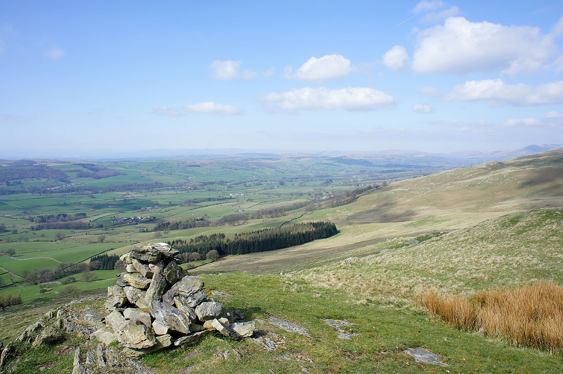
The Lune valley from Eskholme Pike and as if by magic the haze and cloud is clearing away
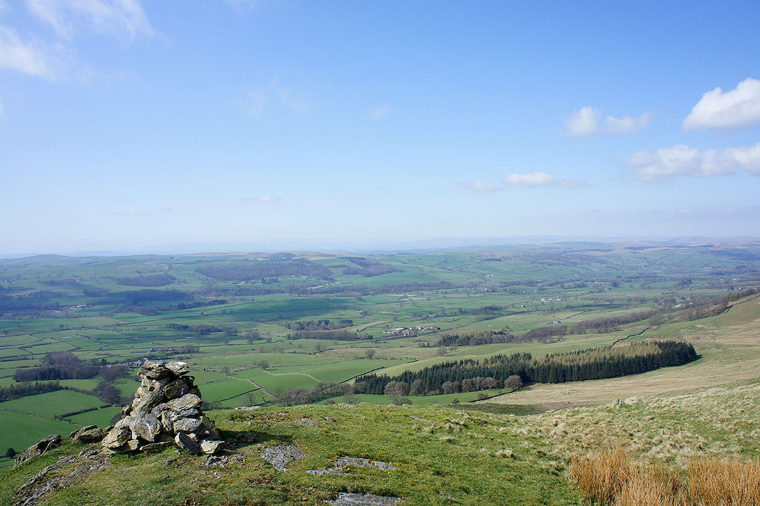
Across the Lune valley towards the Lakeland fells
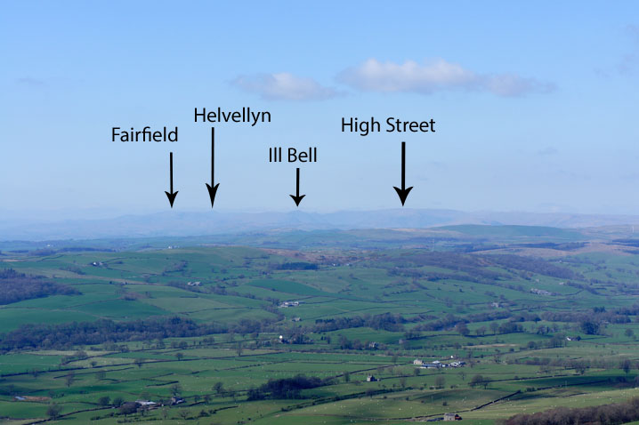
What I was hoping to see from Calf Top
Barbon from Eskholme Pike
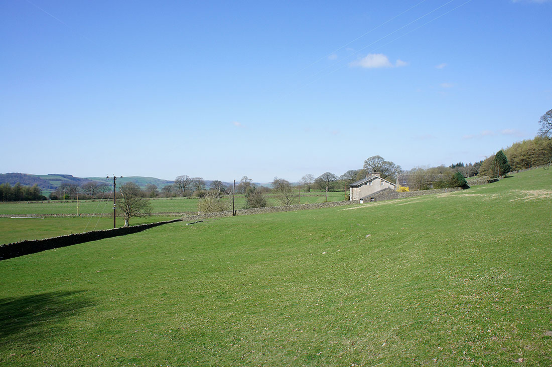
Back down in the Lune valley at Eskholme and it's a lovely afternoon. A complete contrast to what it was like on Calf Top 90 minutes ago.
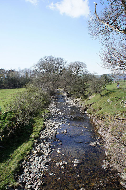
Barbon Beck
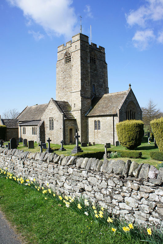
St. Bartholomew's church, Barbon
|
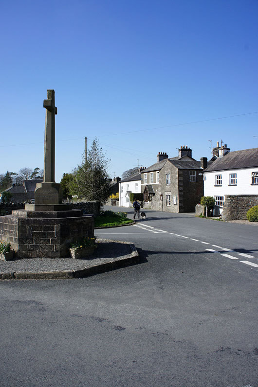
Heading back through Barbon to where we're parked
|