1st April 2018 - Dunsop Fell and Whitendale
Walk Details
Distance walked: 13.1 miles
Total ascent: 2162 ft
OS map used: OL41 - Forest of Bowland & Ribblesdale
Time taken: 6 hrs
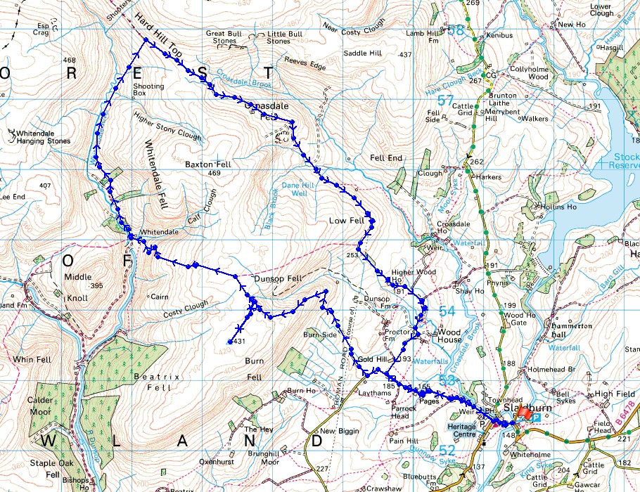
Route description: Slaidburn-Town End-Wood House Lane-Back Lane-Burnside Cottage-Dunsop Fell-Dunsop Head-Whitendale Farm-Whitendale-Hornby Road-Wood House Lane-Town End-Slaidburn
My second walk of the Easter weekend and it's the Forest of Bowland again. I have done this route before, but way back in January 2011, so it almost felt like I was experiencing it for the first time again. The weather was a little better than it was on Friday. Some sunshine and blue skies as I set off, which unfortunately didn't last into the afternoon but there was better visibility for more distant views. By the time I arrived at the track of Hornby Road a cold breeze had picked up to accompany the cloudy skies. A good part of the route is on firm ground in the form of tarmacked road or the track of Hornby Road but the bridleway across Dunsop Fell and the path up Whitendale is pretty boggy in places. I made use of the tearoom in Slaidburn to have some breakfast before setting off.
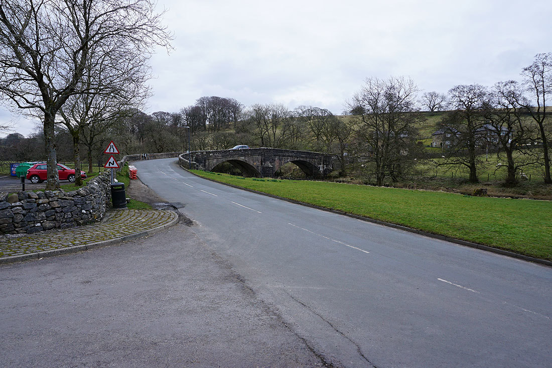
From the car park in Slaidburn I walked up into the village, past the Hark to Bounty Inn and then out into the countryside on Town End and Wood House Lane. Where Wood House Lane took a right turn I carried straight on onto Back Lane. This takes a left turn and the bridleway to Burnside Cottage is soon reached on the right. The track to Burnside Cottage was followed and then the bridleway passes it, climbs a field and then ascends Dunsop Fell. As the bridleway neared its summit I left it to go and visit the trig point on Dunsop Fell, after which I returned to Dunsop Head and the bridleway down into Whitendale. From Whitendale Farm I then followed the path up Whitendale (which has a signpost for Salter Fell) to the track of Hornby Road. I followed Hornby Road south across Croasdale Fell to where it eventually meets the end of Wood House Lane. Walking down Wood House Lane brought me back to my outbound route for the return to Slaidburn.
Total ascent: 2162 ft
OS map used: OL41 - Forest of Bowland & Ribblesdale
Time taken: 6 hrs
Route description: Slaidburn-Town End-Wood House Lane-Back Lane-Burnside Cottage-Dunsop Fell-Dunsop Head-Whitendale Farm-Whitendale-Hornby Road-Wood House Lane-Town End-Slaidburn
My second walk of the Easter weekend and it's the Forest of Bowland again. I have done this route before, but way back in January 2011, so it almost felt like I was experiencing it for the first time again. The weather was a little better than it was on Friday. Some sunshine and blue skies as I set off, which unfortunately didn't last into the afternoon but there was better visibility for more distant views. By the time I arrived at the track of Hornby Road a cold breeze had picked up to accompany the cloudy skies. A good part of the route is on firm ground in the form of tarmacked road or the track of Hornby Road but the bridleway across Dunsop Fell and the path up Whitendale is pretty boggy in places. I made use of the tearoom in Slaidburn to have some breakfast before setting off.
From the car park in Slaidburn I walked up into the village, past the Hark to Bounty Inn and then out into the countryside on Town End and Wood House Lane. Where Wood House Lane took a right turn I carried straight on onto Back Lane. This takes a left turn and the bridleway to Burnside Cottage is soon reached on the right. The track to Burnside Cottage was followed and then the bridleway passes it, climbs a field and then ascends Dunsop Fell. As the bridleway neared its summit I left it to go and visit the trig point on Dunsop Fell, after which I returned to Dunsop Head and the bridleway down into Whitendale. From Whitendale Farm I then followed the path up Whitendale (which has a signpost for Salter Fell) to the track of Hornby Road. I followed Hornby Road south across Croasdale Fell to where it eventually meets the end of Wood House Lane. Walking down Wood House Lane brought me back to my outbound route for the return to Slaidburn.
Route map
© Crown copyright. All rights reserved. License number PU 100034184.
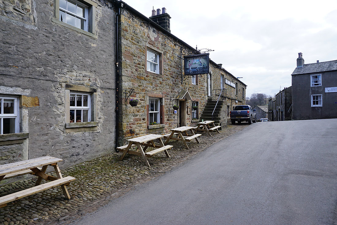
It's a quiet morning in Slaidburn as I pass the Hark to Bounty Inn
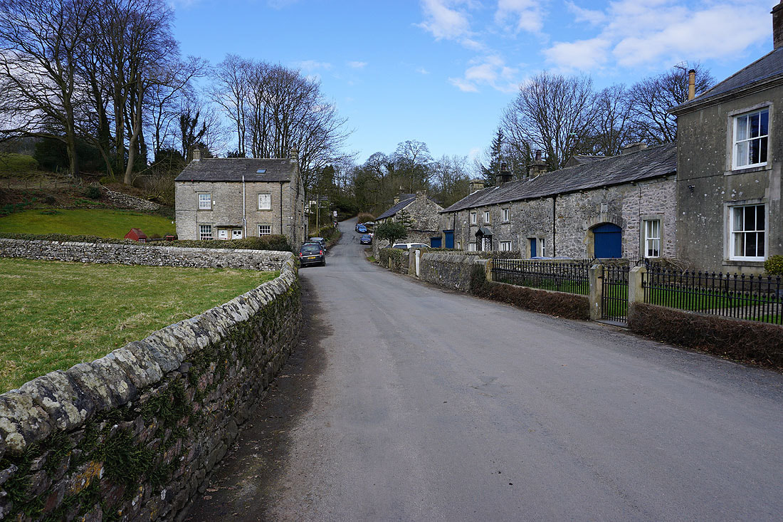
I follow the lane of Town End..
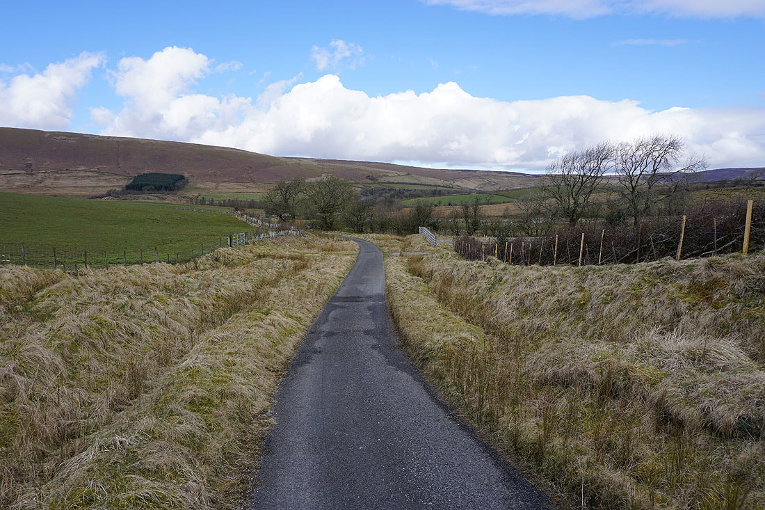
..and Wood House Lane out of Slaidburn
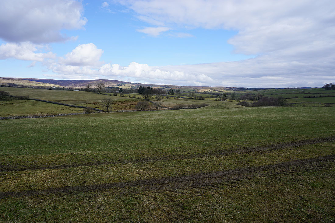
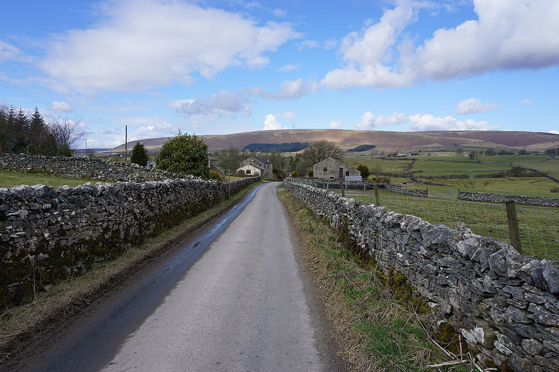
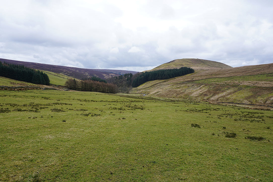
Bowland farmland
The road is left behind for the bridleway to Burnside Cottage and Dunsop Fell
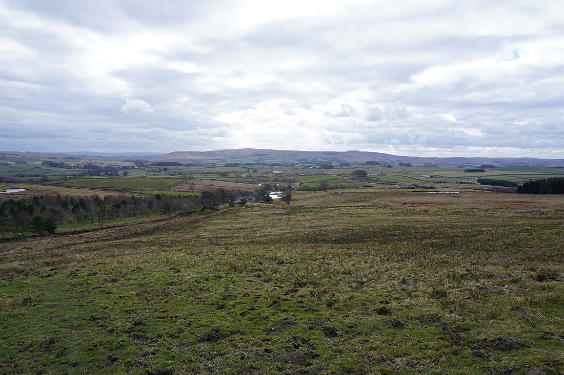
Looking back across the Hodder valley to Easington Fell as I start to head up Dunsop Fell
There are still some blue skies about as I make my way up
Turning round and I have a view to Penyghent, Fountains Fell and Rye Loaf Hill in the Yorkshire Dales
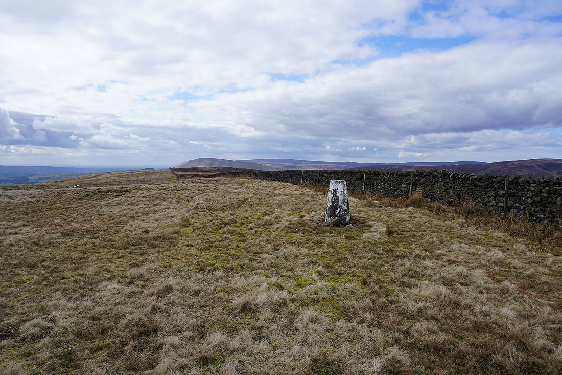
The trig point on Dunsop Fell with Totridge and Fair Snape Fell in the background
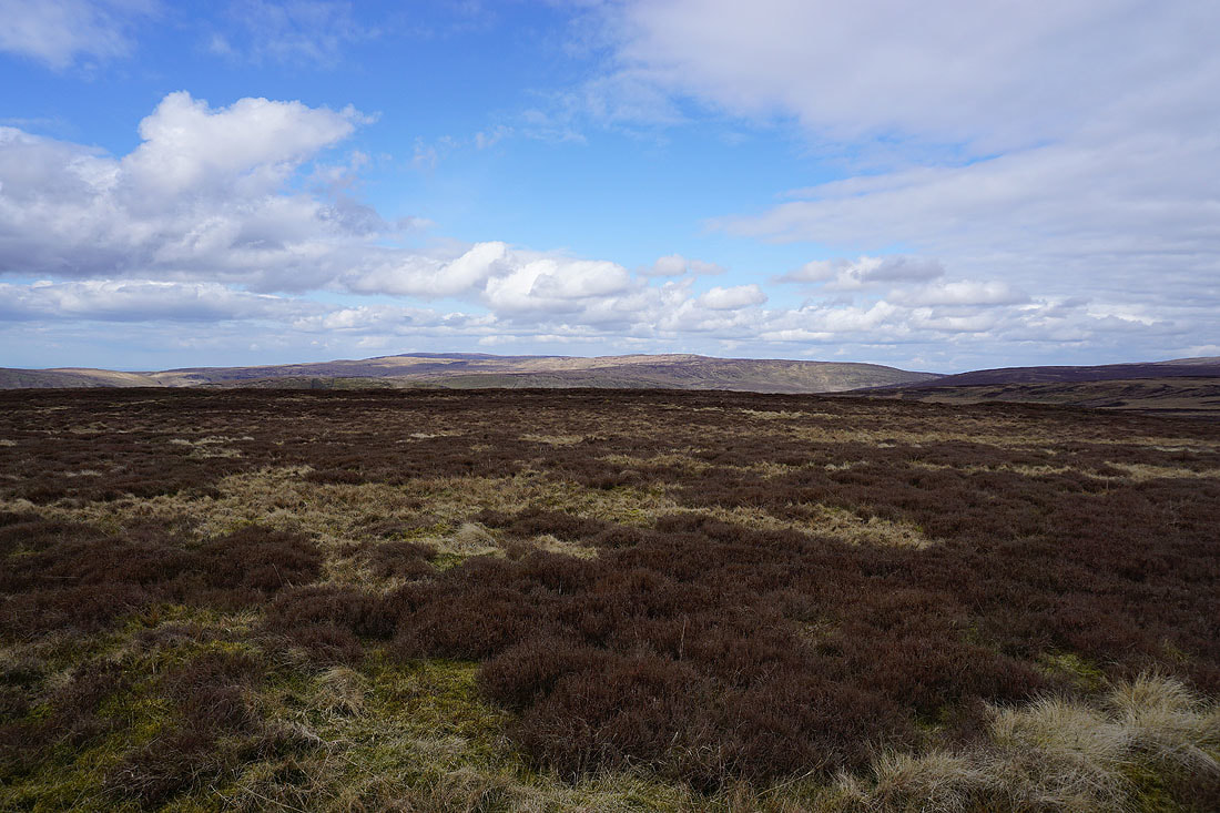
Ward's Stone and Wolfhole Crag to the northwest
Pendle Hill behind Easington Fell with Longridge Fell on the right
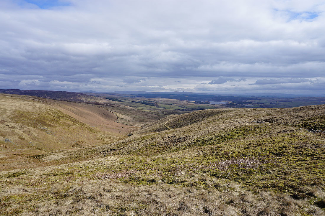
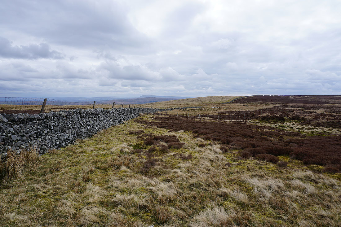
Penyghent and Fountains Fell in the distance as I follow the wall back to the bridleway to Whitendale
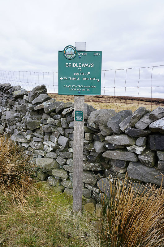
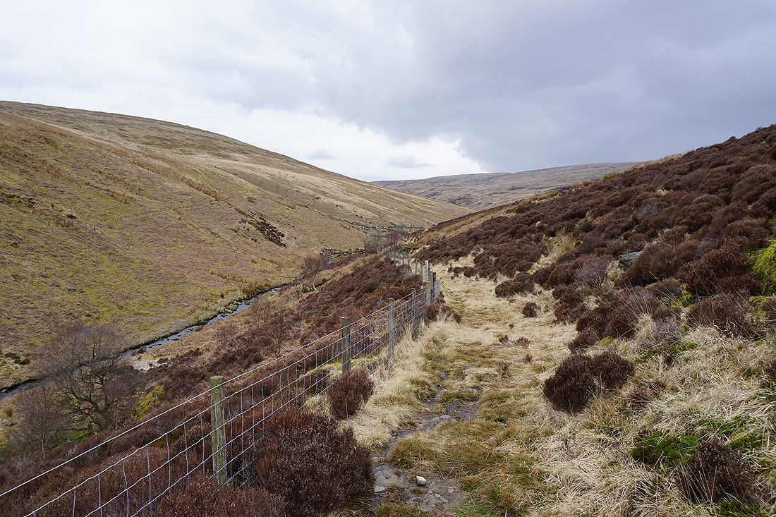
The bridleway junction at Dunsop Head and I'm taking the one for Whitendale
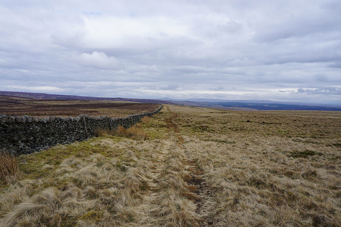
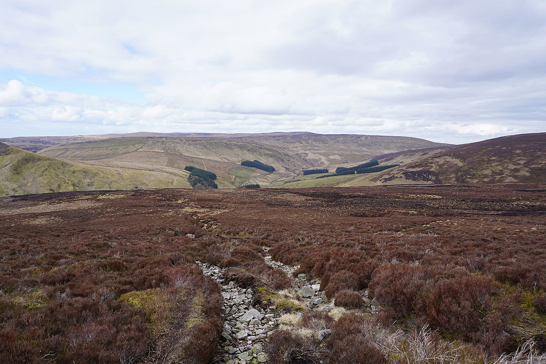
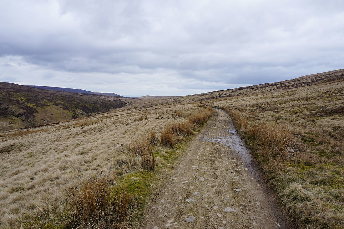
I liked this shot of the fell with the wall heading into the distance
Following the bridleway down into the hidden valley of Whitendale....
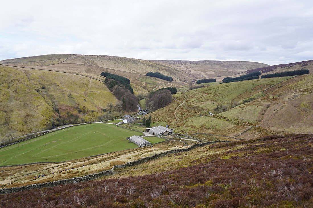
Whitendale Farm
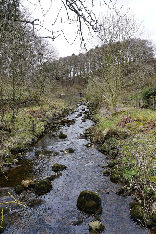
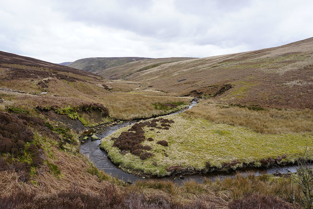
The Whitendale River
|
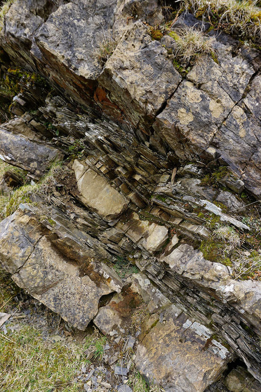
Exposed bedrock. A mixture of sandstone and shale.
|
The footpath to the top of Whitendale starts with a clear track
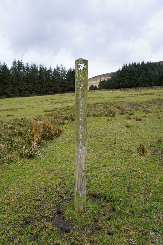
Which is left for the path signposted for Salter Fell
Whitendale with the hill of Middle Knoll on the right
Remote Whitendale..
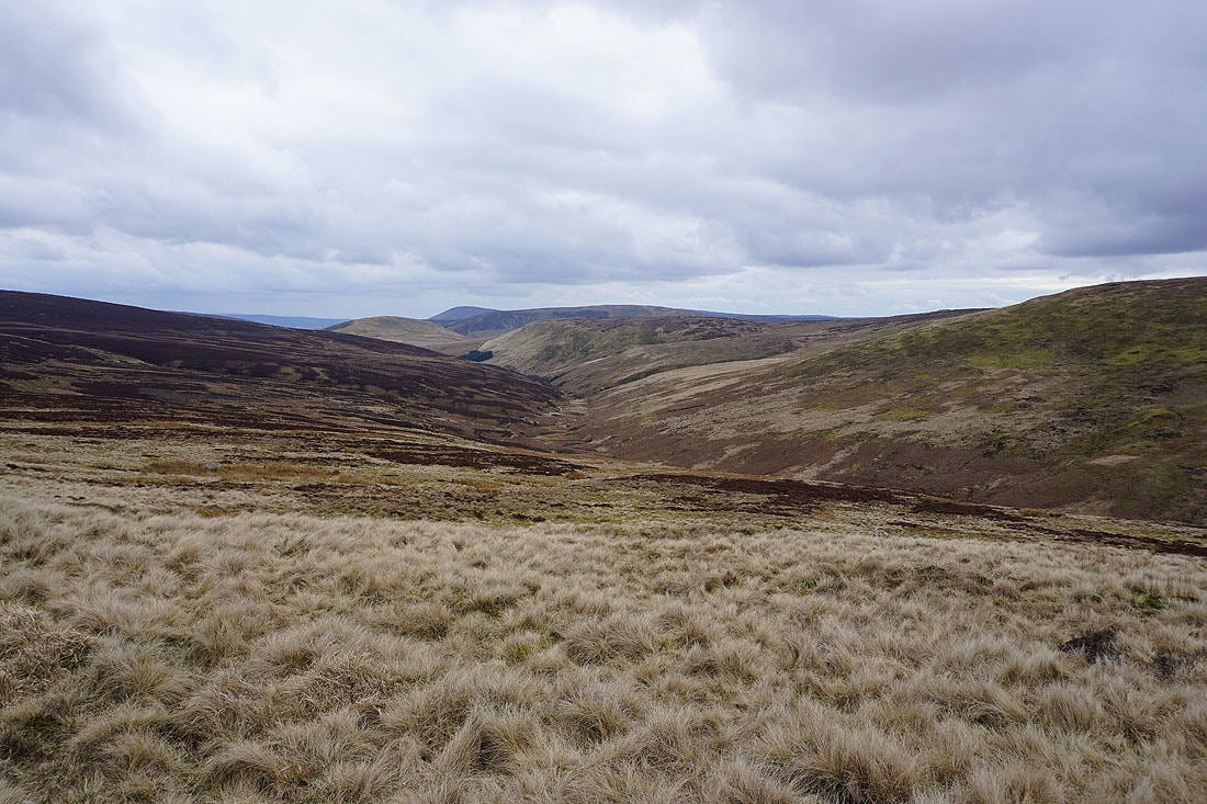
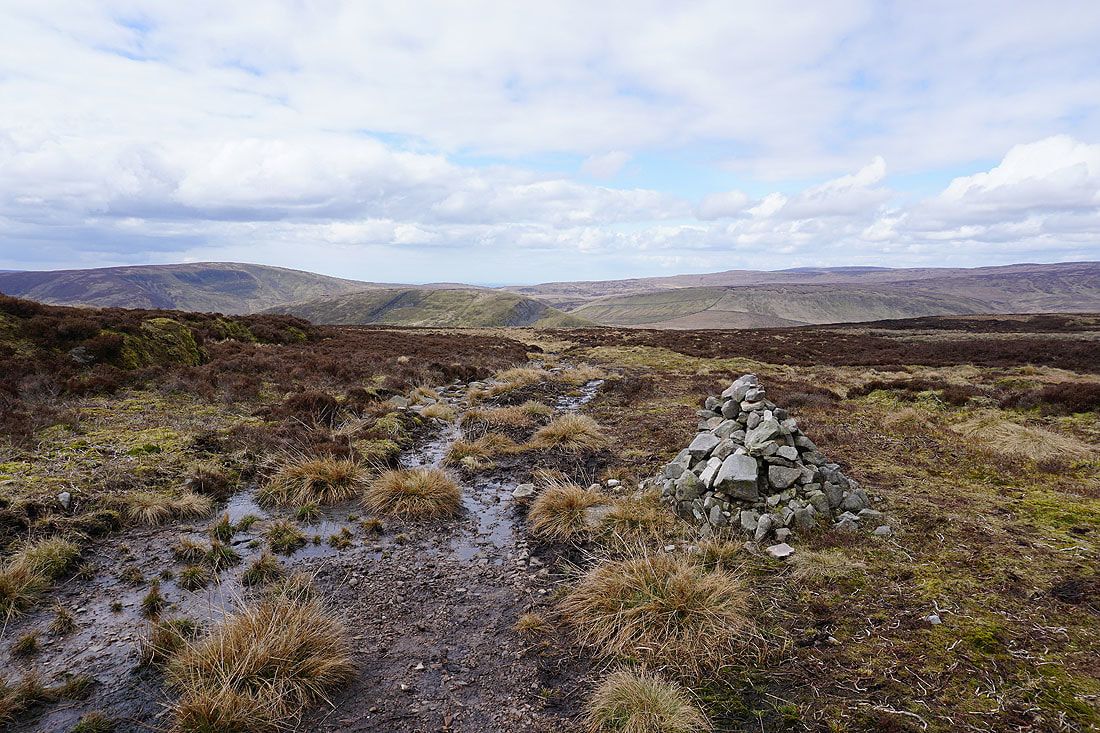
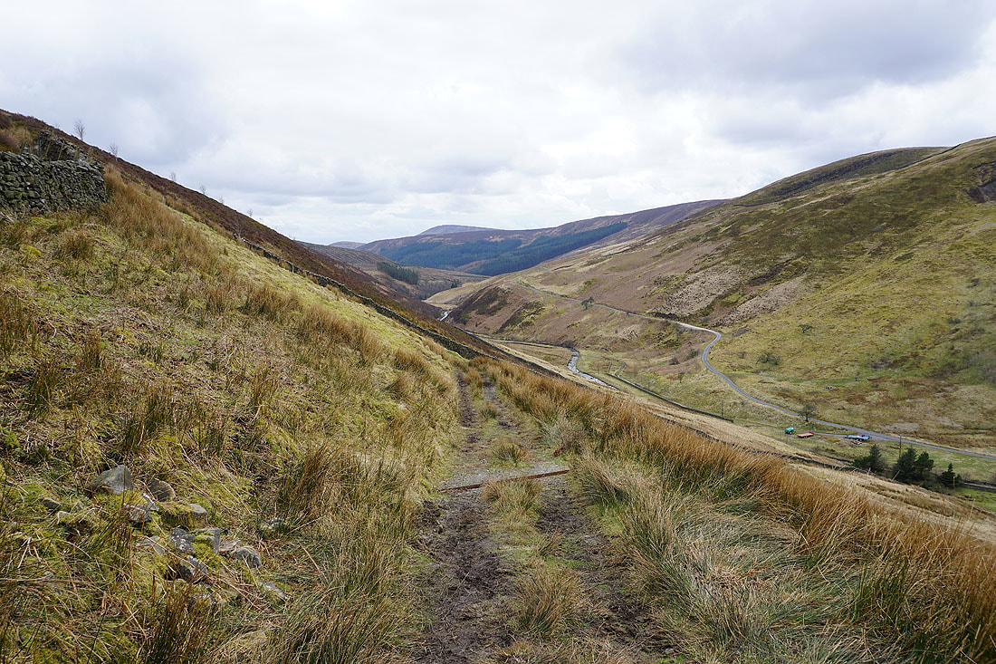
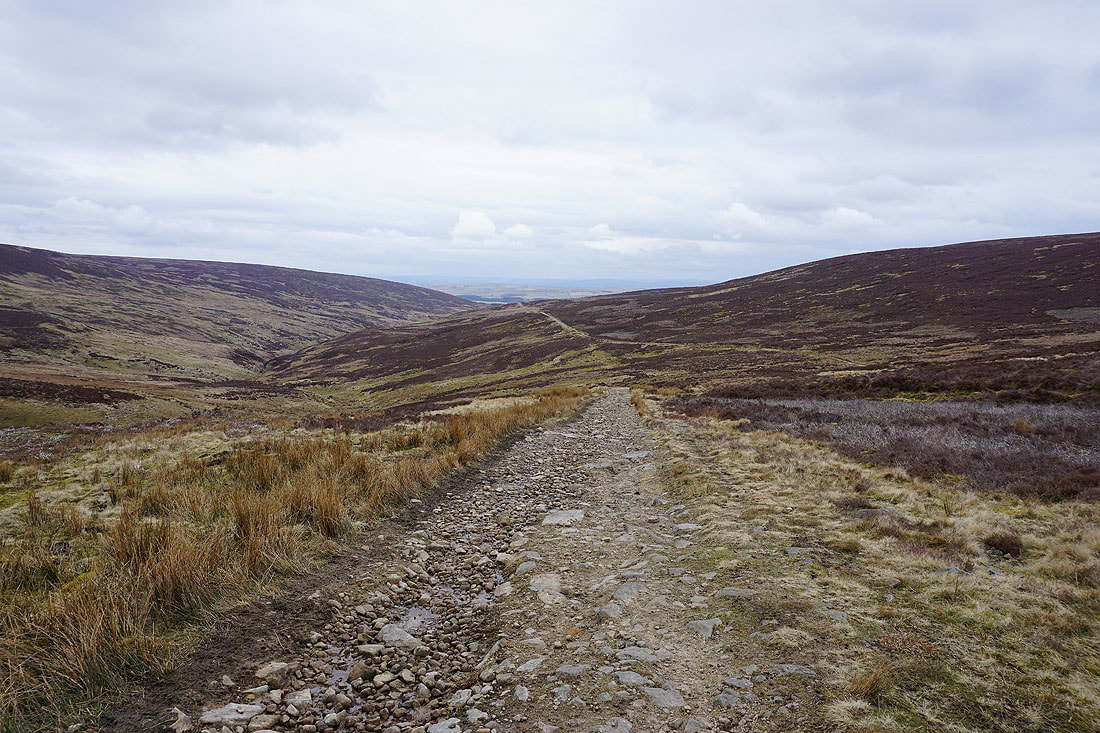
Looking down Whitendale as I reach the Hornby Road track
Looking north along Hornby Road. This section follows the line of a former Roman Road.
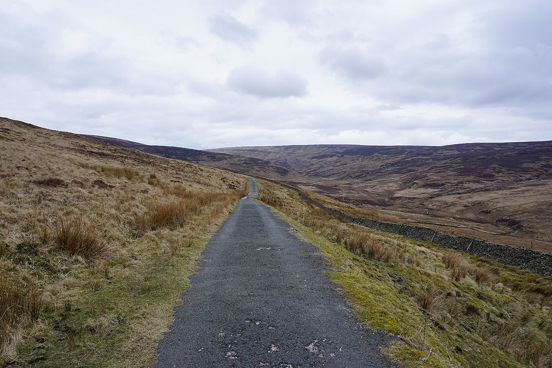
Heading south along Hornby Road and back to Slaidburn
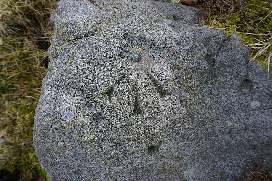
OS benchmark on a boulder next to the track
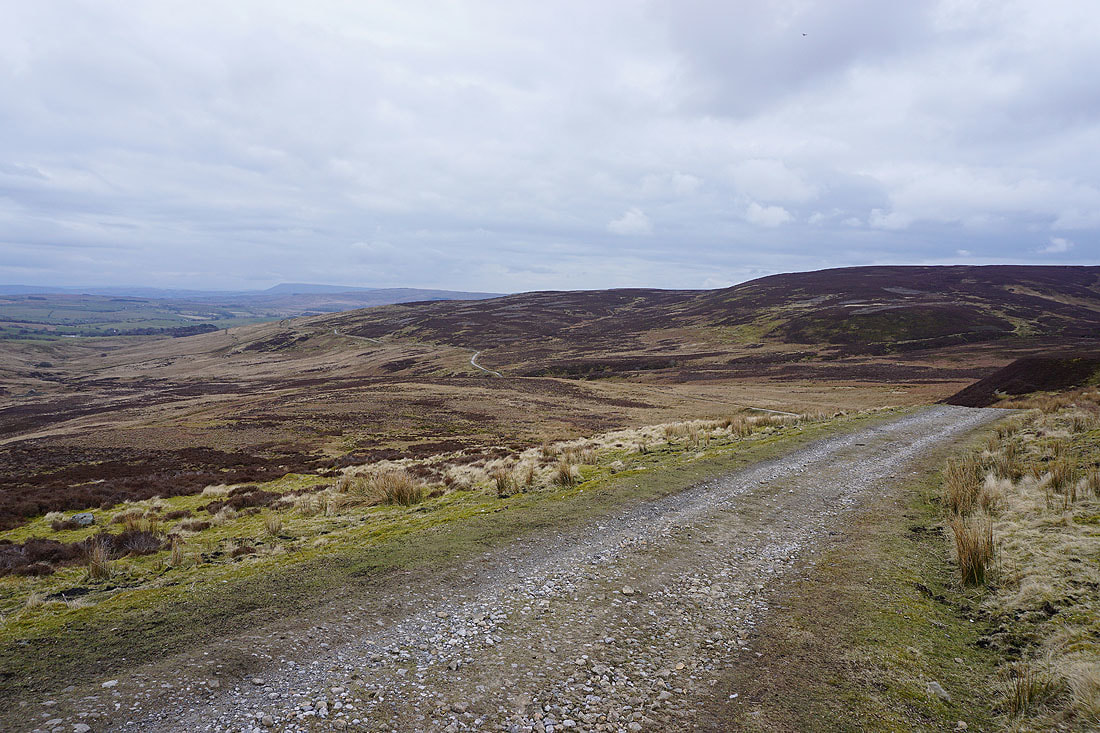
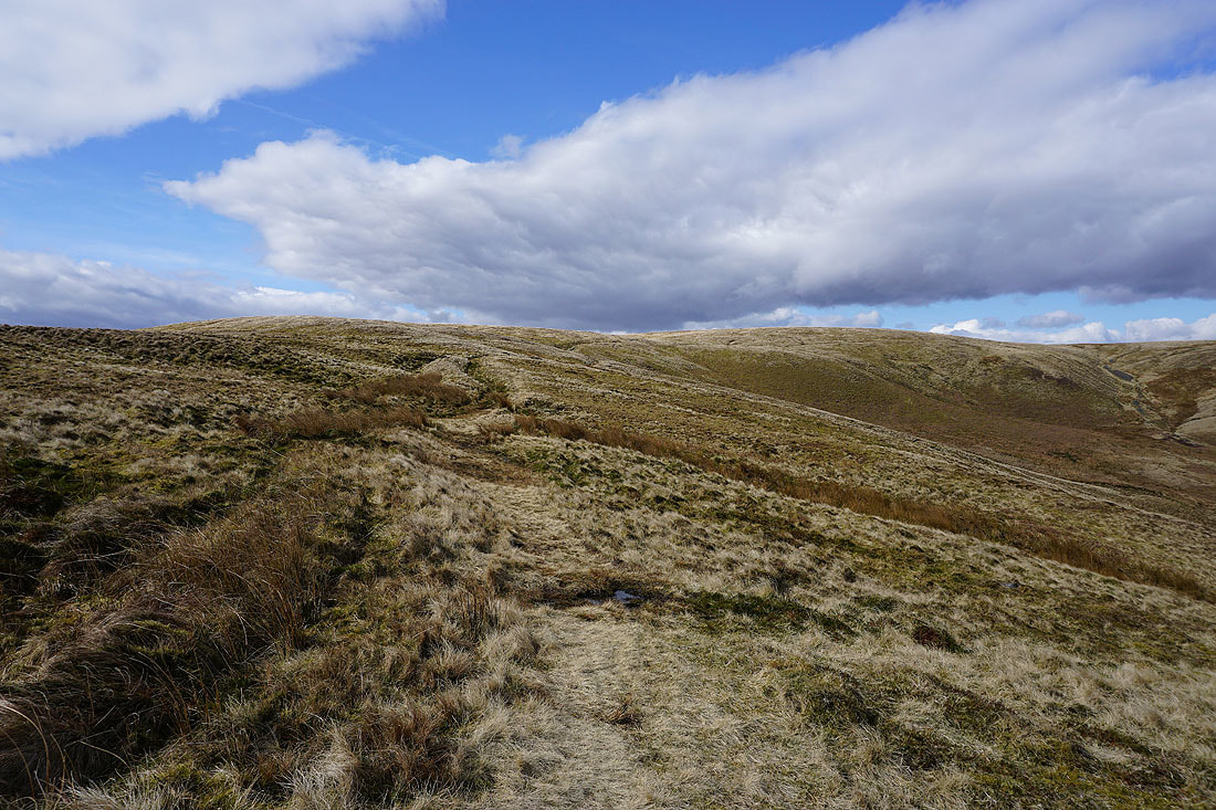
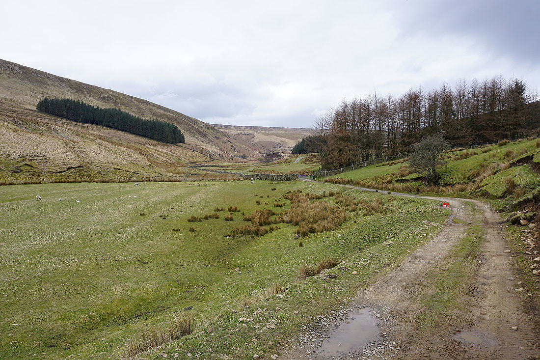
The track gently descends as it crosses Croasdale Fell
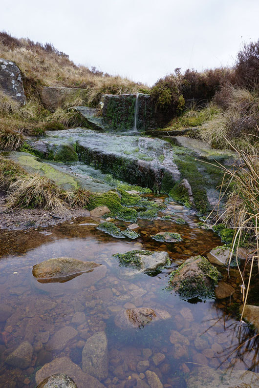
A little brook next to the track that I couldn't resist stopping to take a photo of
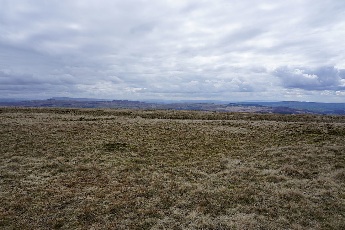
Looking back on Croasdale Fell
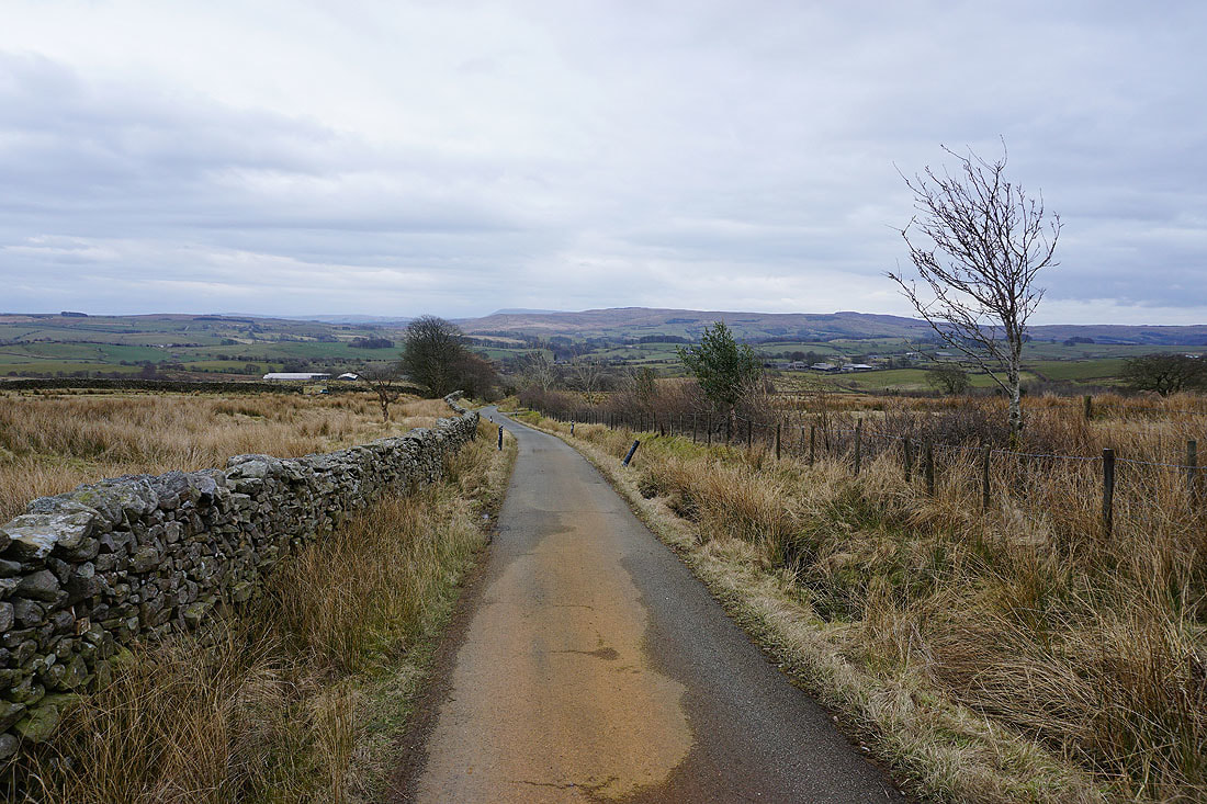
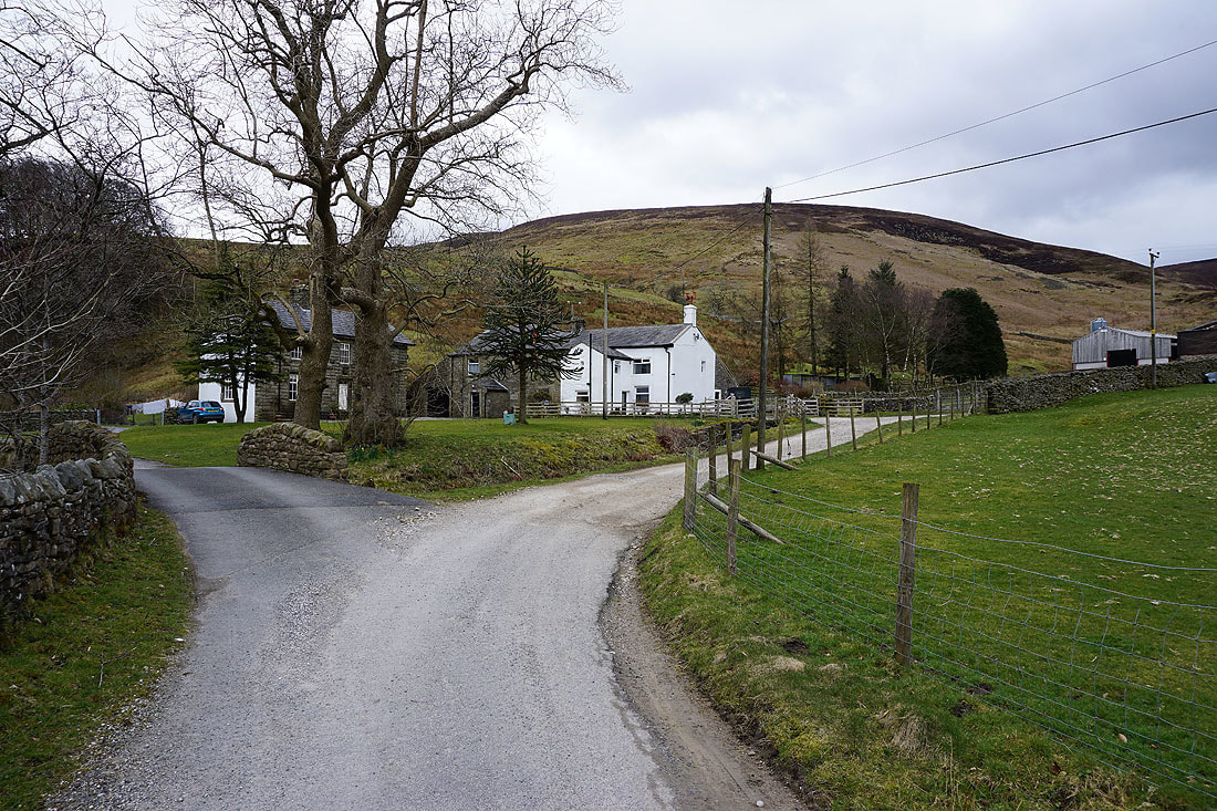
Tarmac is reached in the form of Wood House Lane, which will take me all the way back to Slaidburn
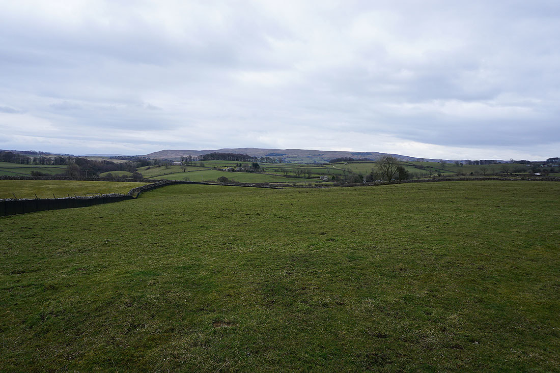
Bowland farmland around Slaidburn
Back in Slaidburn