1st April 2022 - Ingleborough
Walk Details
Distance walked: 10.0 miles
Total ascent: 1854 ft
OS map used: OL2 - Yorkshire Dales, Southern & Western areas
Time taken: 6 hrs
Route description: Selside-South House Farm-Sulber Nick-Sulber-Dales High Way-Ingleborough-Simon Fell-Park Fell-Colt Park-Selside Shaw-Selside Shaw Old Lane-Selside
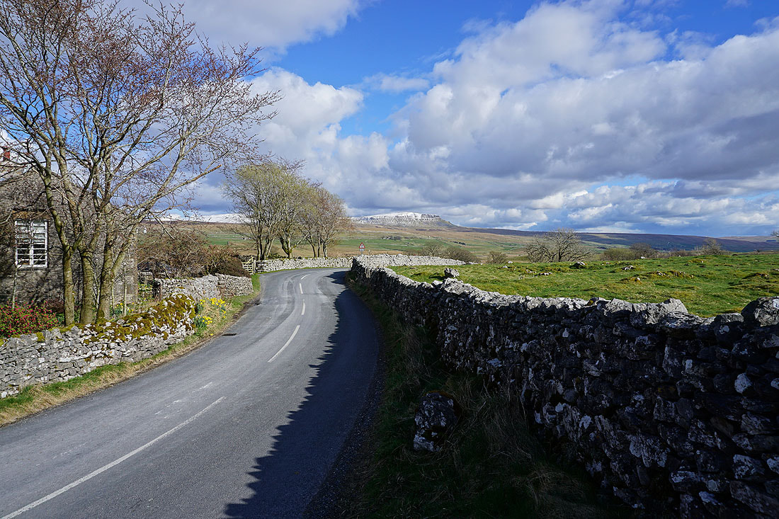
I'm off work today and on Monday to make a long weekend, and there's good weather forecast for today and tomorrow. During the week there's been a complete change from the mild temperatures of last weekend to something much colder, cold enough for snow on the tops of the high fells. With the chance of a walk in snow, something that didn't present itself very often during the winter, and not wanting to miss out, my choice of routes was quite limited. I opted for Ingleborough from Selside in Ribblesdale, a walk I first did in August 2020, a quiet route that keeps to the high ground of Simon Fell and Park Fell after visiting the summit of Ingleborough. It was a cold day with a mixture of cloud and sunny spells, and a strong wind on the top of Ingleborough. The cover of snow was quite thin and patchy, and with the sun now being strong enough to melt it unless it's really cold, it won't last long. However, I could see that the fells to the east had a more extensive cover of snow, guess where I'll be going tomorrow.
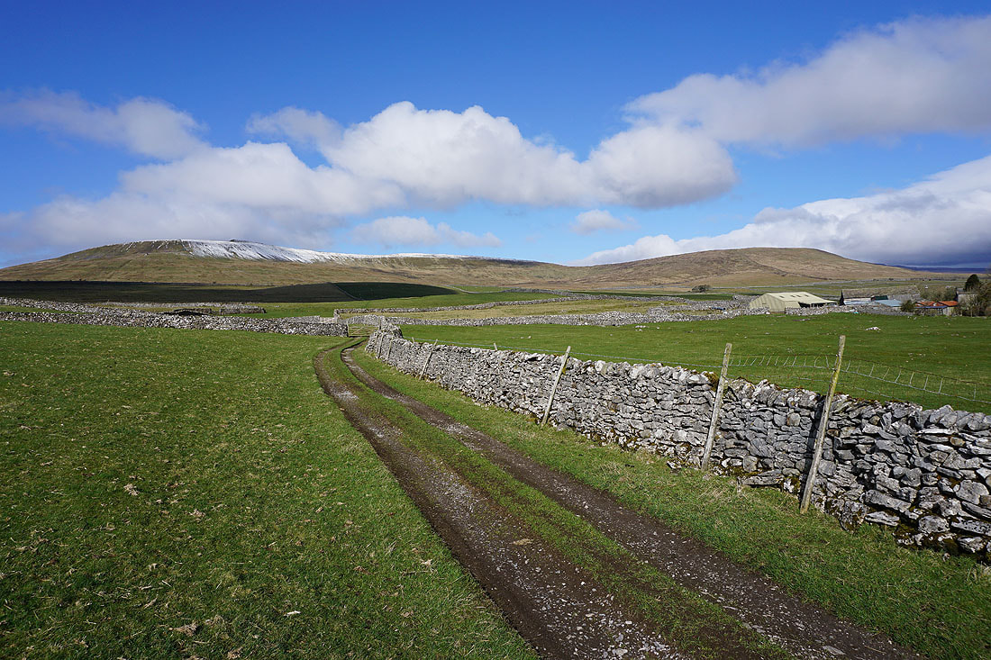
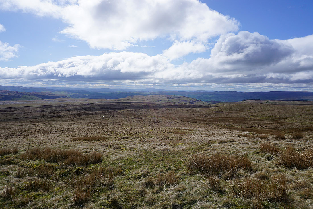
From where I parked on the track just off Selside Shaw Old Lane in Selside I followed the track west and then south onto the moors. At the end of the track I kept on the footpath south past Gill Garth Farm and Borrins Farm to briefly pick up the Pennine Bridleway, before leaving this for the footpath up to South House Farm and then onto the Ingleborough National Nature Reserve. This was where I reached access land, so I made my way up to the trig point just above. After taking in the view I made my way south across access land to reach the footpath from Horton-in-Ribblesdale to Sulber Nick. I then followed this path west through Sulber Nick and across Sulber to pick up the path across Simon Fell Breast and up to the summit of Ingleborough. After taking in the view and having a stop for lunch in the cross shelter I made my way to the eastern end of the summit plateau, descended, and then made my way northeast onto Simon Fell. Once I'd taken in the view I followed the wall northeast then north from Simon Fell and onto Park Fell and to the trig point there. I then descended the northern slopes of Park Fell to Colt Park, where I picked up a public footpath south across fields and then down and across Selside Shaw to Selside Shaw Old Lane. A short walk south along this road and I was back to where I parked just outside Selside.
Total ascent: 1854 ft
OS map used: OL2 - Yorkshire Dales, Southern & Western areas
Time taken: 6 hrs
Route description: Selside-South House Farm-Sulber Nick-Sulber-Dales High Way-Ingleborough-Simon Fell-Park Fell-Colt Park-Selside Shaw-Selside Shaw Old Lane-Selside
I'm off work today and on Monday to make a long weekend, and there's good weather forecast for today and tomorrow. During the week there's been a complete change from the mild temperatures of last weekend to something much colder, cold enough for snow on the tops of the high fells. With the chance of a walk in snow, something that didn't present itself very often during the winter, and not wanting to miss out, my choice of routes was quite limited. I opted for Ingleborough from Selside in Ribblesdale, a walk I first did in August 2020, a quiet route that keeps to the high ground of Simon Fell and Park Fell after visiting the summit of Ingleborough. It was a cold day with a mixture of cloud and sunny spells, and a strong wind on the top of Ingleborough. The cover of snow was quite thin and patchy, and with the sun now being strong enough to melt it unless it's really cold, it won't last long. However, I could see that the fells to the east had a more extensive cover of snow, guess where I'll be going tomorrow.
From where I parked on the track just off Selside Shaw Old Lane in Selside I followed the track west and then south onto the moors. At the end of the track I kept on the footpath south past Gill Garth Farm and Borrins Farm to briefly pick up the Pennine Bridleway, before leaving this for the footpath up to South House Farm and then onto the Ingleborough National Nature Reserve. This was where I reached access land, so I made my way up to the trig point just above. After taking in the view I made my way south across access land to reach the footpath from Horton-in-Ribblesdale to Sulber Nick. I then followed this path west through Sulber Nick and across Sulber to pick up the path across Simon Fell Breast and up to the summit of Ingleborough. After taking in the view and having a stop for lunch in the cross shelter I made my way to the eastern end of the summit plateau, descended, and then made my way northeast onto Simon Fell. Once I'd taken in the view I followed the wall northeast then north from Simon Fell and onto Park Fell and to the trig point there. I then descended the northern slopes of Park Fell to Colt Park, where I picked up a public footpath south across fields and then down and across Selside Shaw to Selside Shaw Old Lane. A short walk south along this road and I was back to where I parked just outside Selside.
Route map
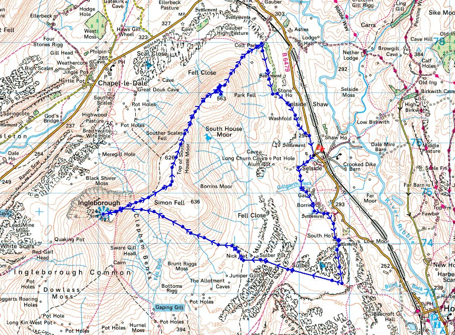
© Crown copyright. All rights reserved. License number PU 100034184.
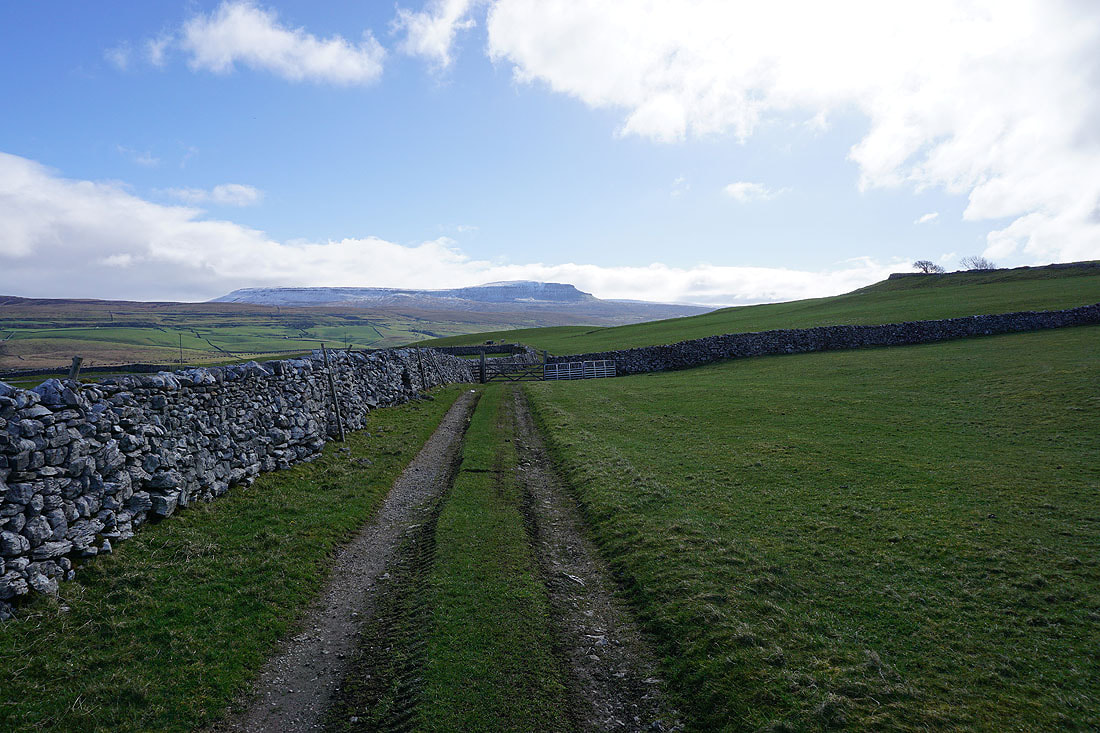
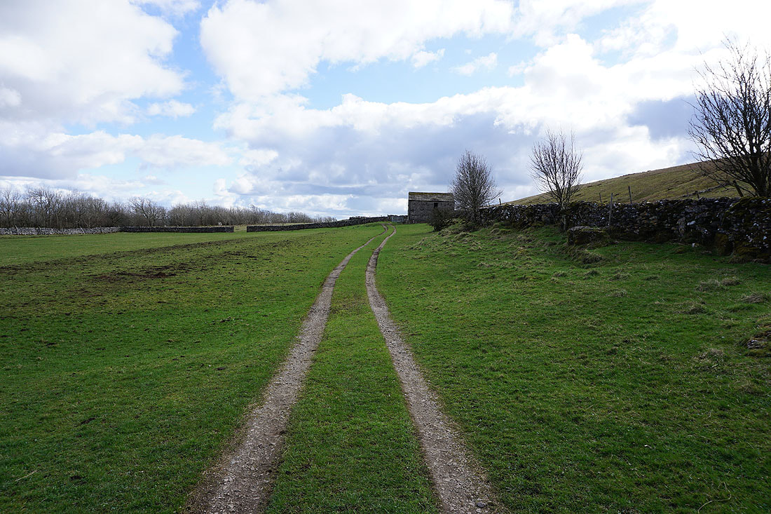
Simon Fell ahead as I follow the track from Selside up onto the moors
Looking back towards Selside and up Ribblesdale
Penyghent..
..and Simon Fell, as I pass Borrins Farm
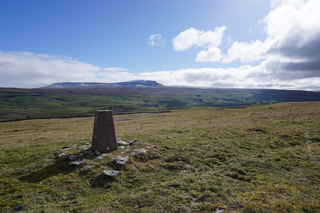
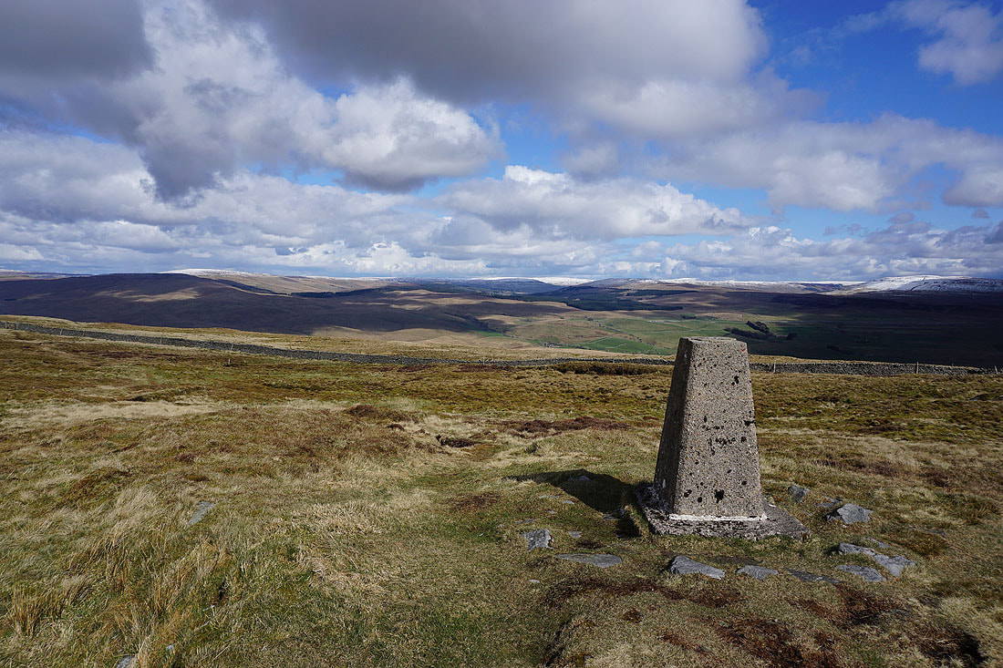
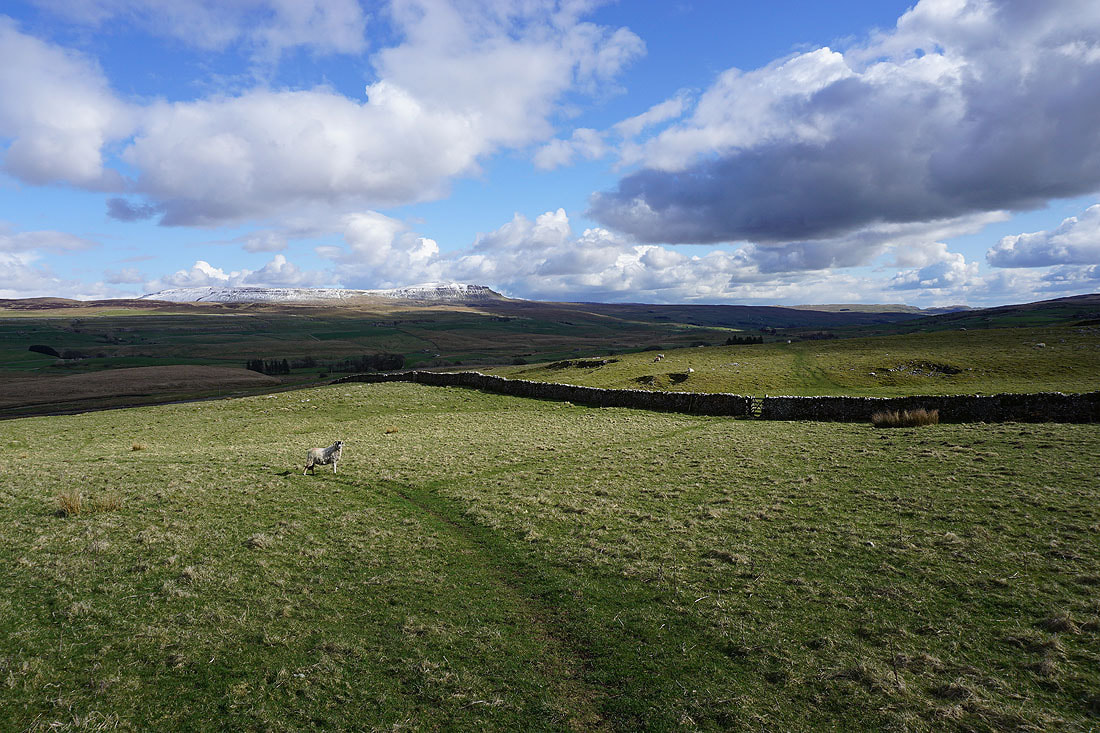
Penyghent and Ribblesdale from the trig point above Brae Pasture Nature Reserve
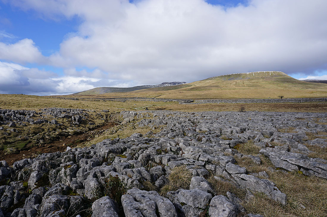
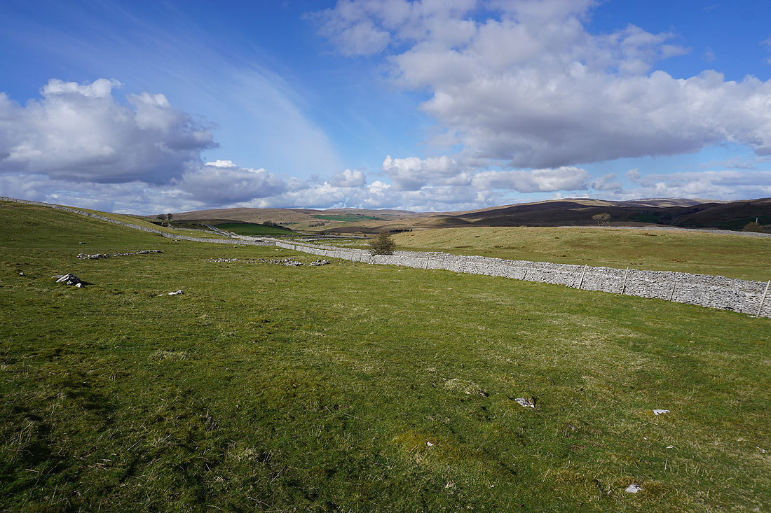
Simon Fell and Park Fell to the northwest
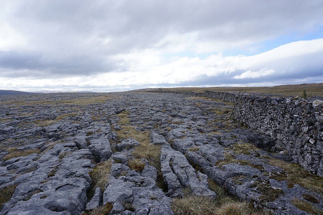
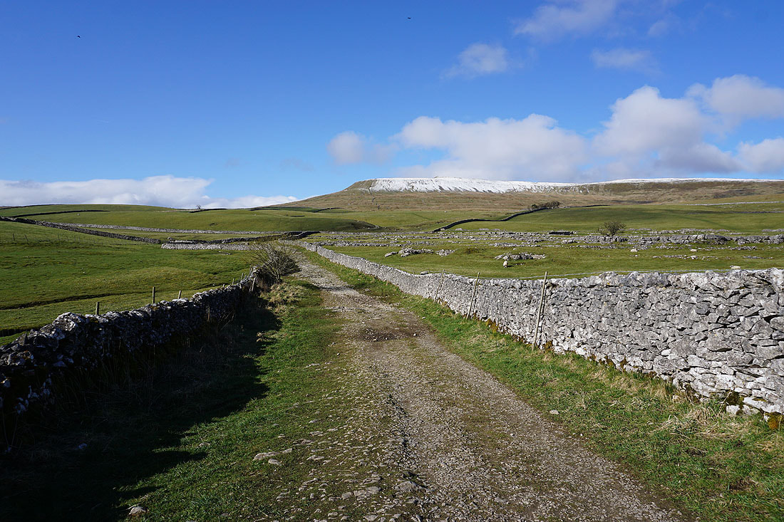
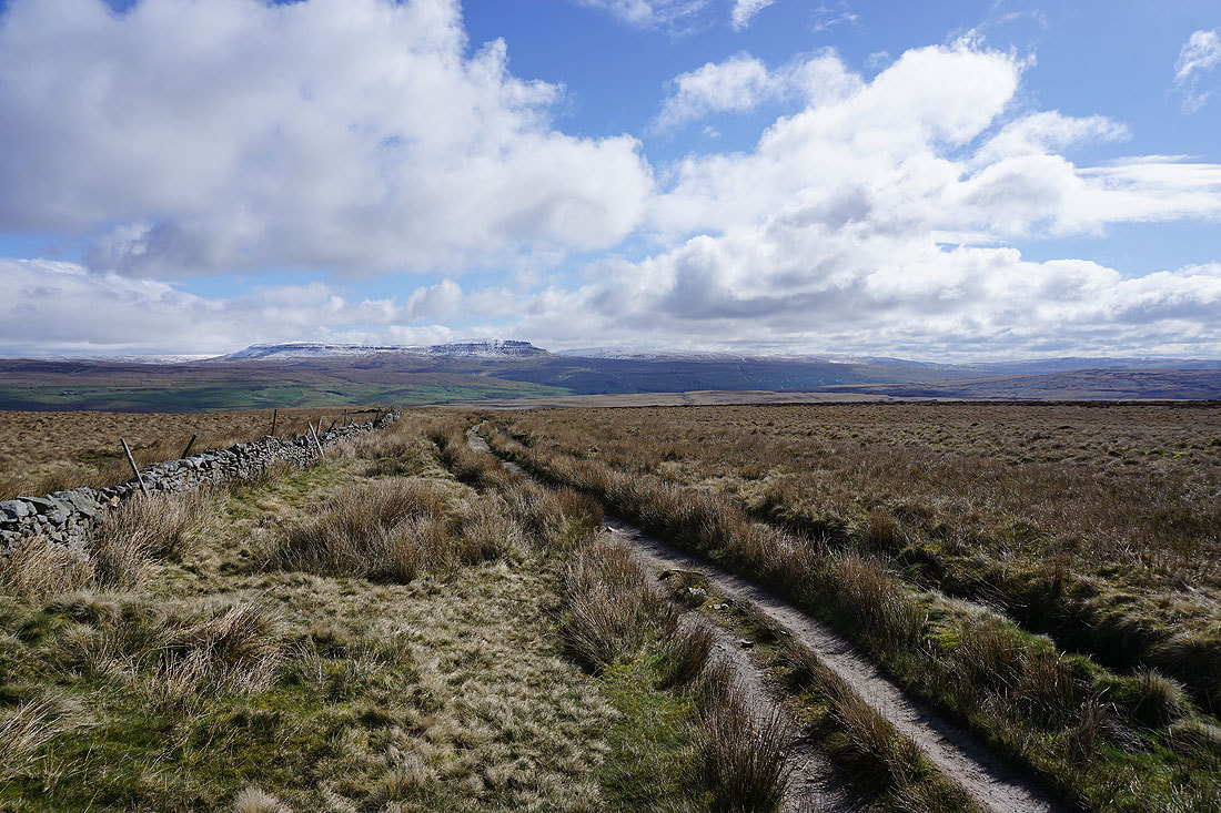
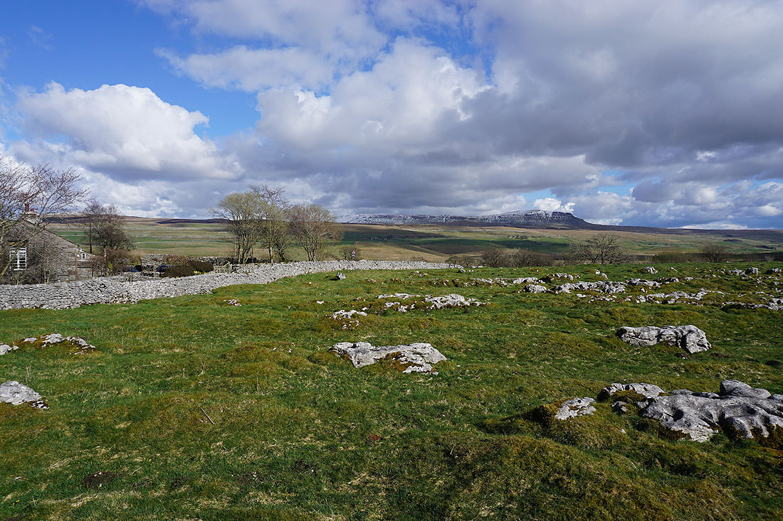
Heading for Sulber Nick and this is just a small part of the limestone pavement that makes up this part of the Ingleborough National Nature Reserve
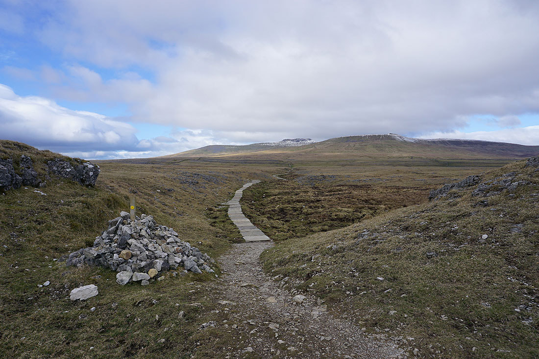
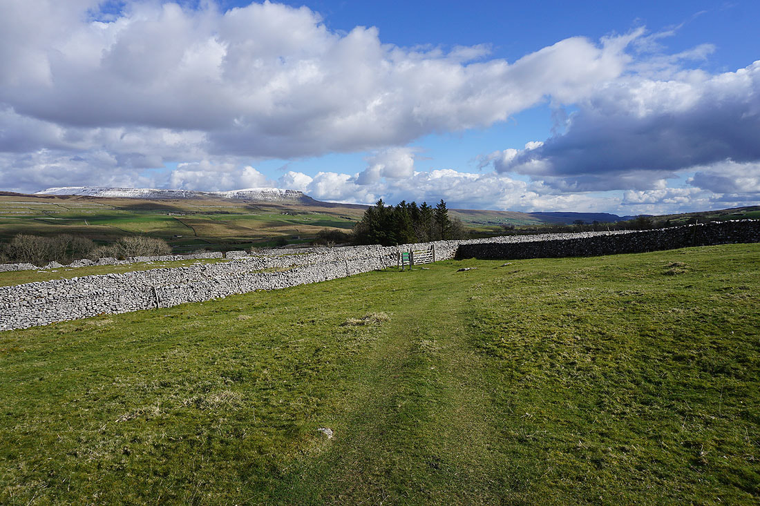
Ingleborough makes a tempting target as I take the path through Sulber Nick..
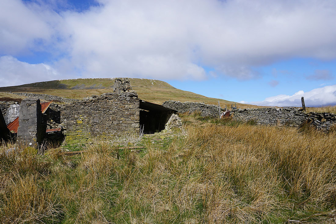
At the ruins of the shooting hut beneath Simon Fell
Looking back to Penyghent and Fountains Fell on the other side of Ribblesdale
Pendle Hill in the distance
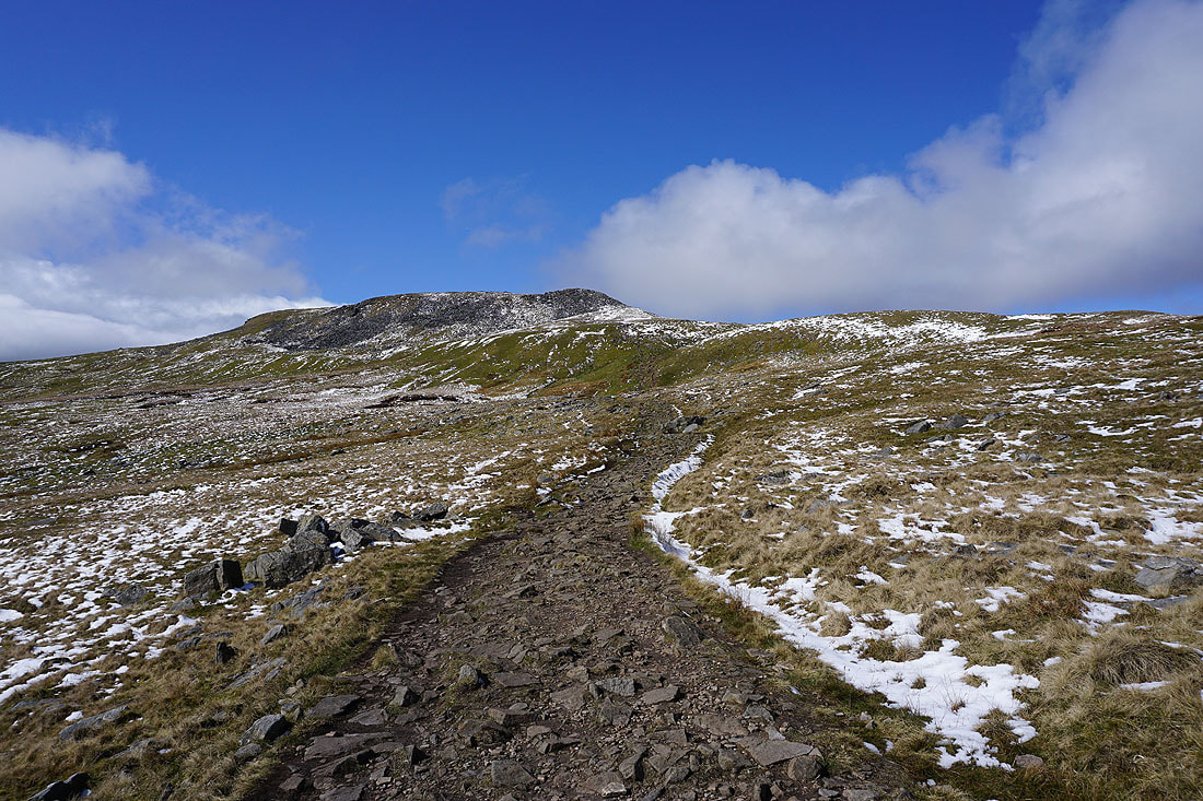
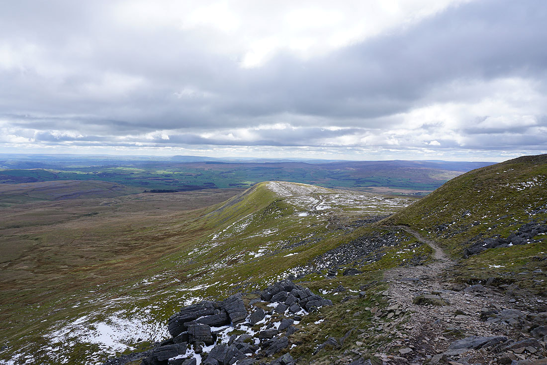
Nearing the top of Ingleborough on the path across Simon Fell Breast
Simon Fell below as I make the final climb up onto Ingleborough's summit plateau..
Gragareth and Great Coum, with Twisleton Scars on the other side of Chapel-le-Dale, and I can make out a bit of snow on some of the Lake District fells in the distance
To the east are Buckden Pike, Plover Hill, Great Whernside, Penyghent and Fountains Fell
The summit shelter is definitely needed for my lunch stop today. There's a strong and cold wind blowing. While I was sat in it I took a photo looking across the summit plateau to Pendle Hill in the distance.
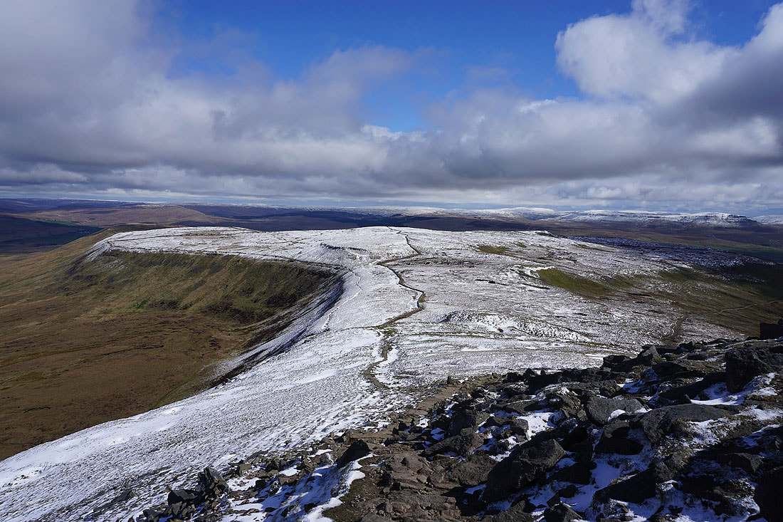
Taking in the views with an anti-clockwise circuit of the summit plateau. Looking across Chapel-le-Dale to Great Coum, the Howgills and Whernside..
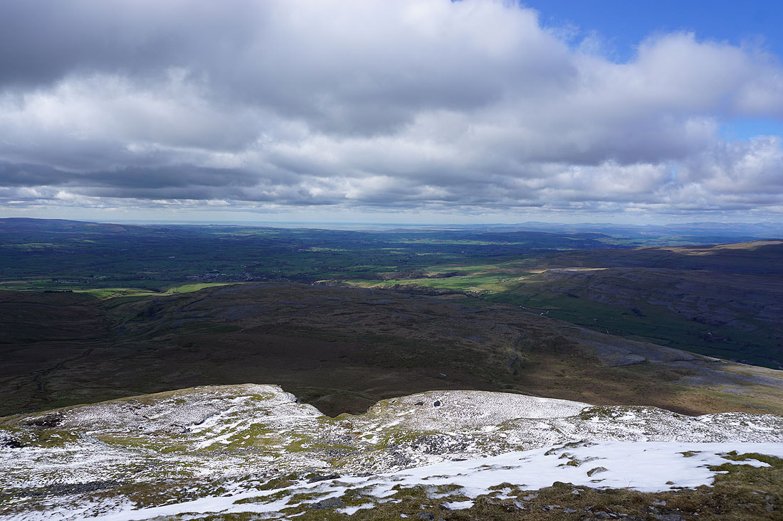
..and out to Morecambe Bay with Ingleton below
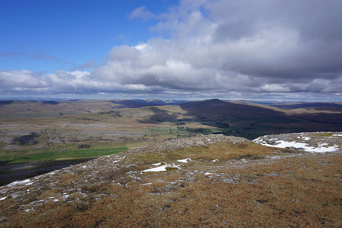
Little Ingleborough below with Pendle Hill in the distance
The fells of the Forest of Bowland to the southwest
At the top of the path to Little Ingleborough, which is the way to Gaping Gill and Clapham
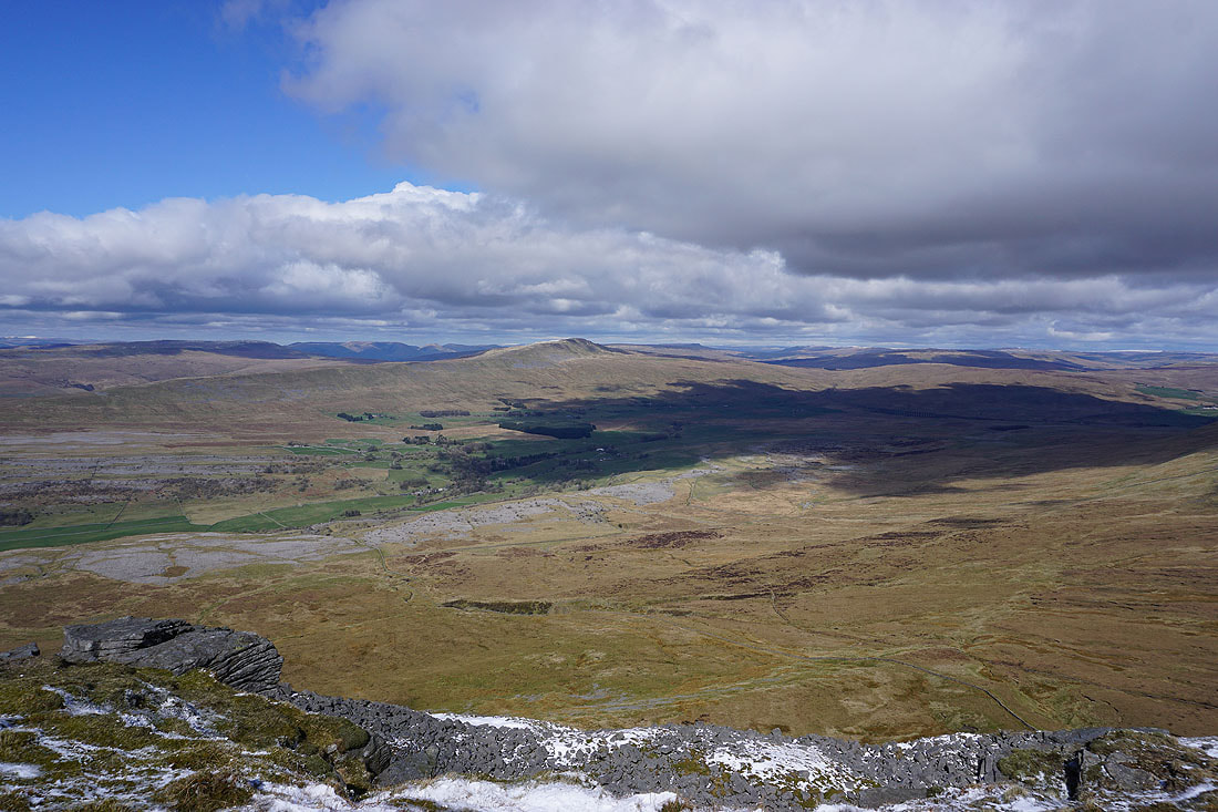
A final shot before I leave the summit. Great Coum, Whernside, Chapel-le-Dale and Ribblehead.
Heading for the top of Simon Fell
Whernside and Ribblehead to my left
Looking back to Ingleborough..
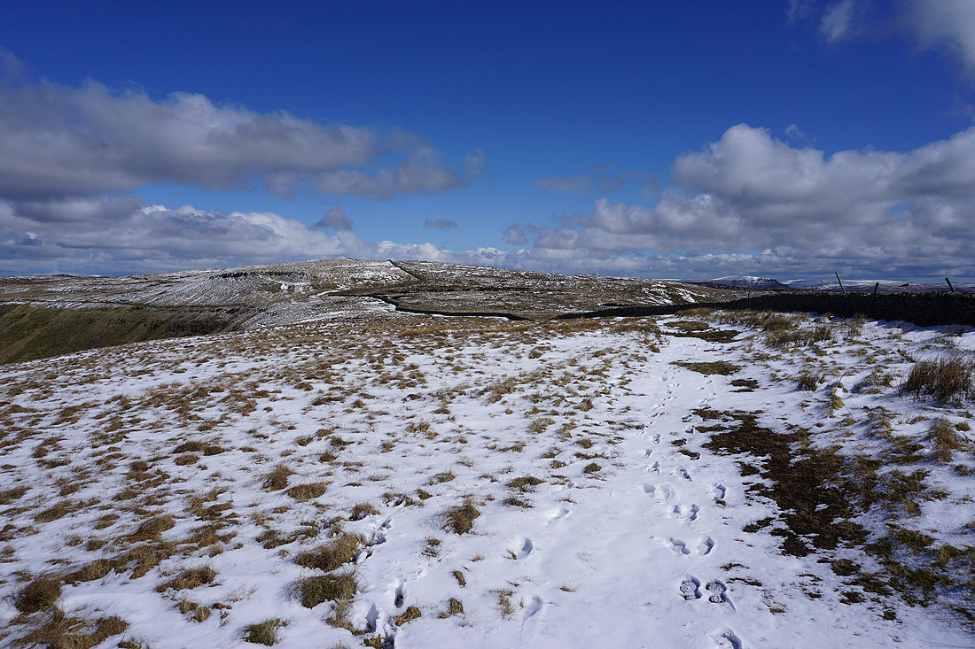
A small cairn marks the top of Simon Fell. Looking north to Great Coum, Whernside and Great Knoutberry Hill.
Ingleborough from Simon Fell
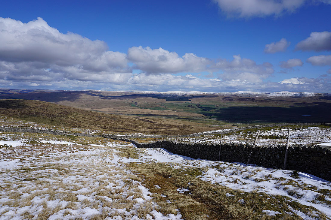
Cam Fell and Birkwith Moor ahead of me as I head northeast from the top of Simon Fell
I'd cross that stile if I wanted to visit the cairn on Lord's Seat, on the eastern side of Simon Fell above Ribblesdale. Not today though.
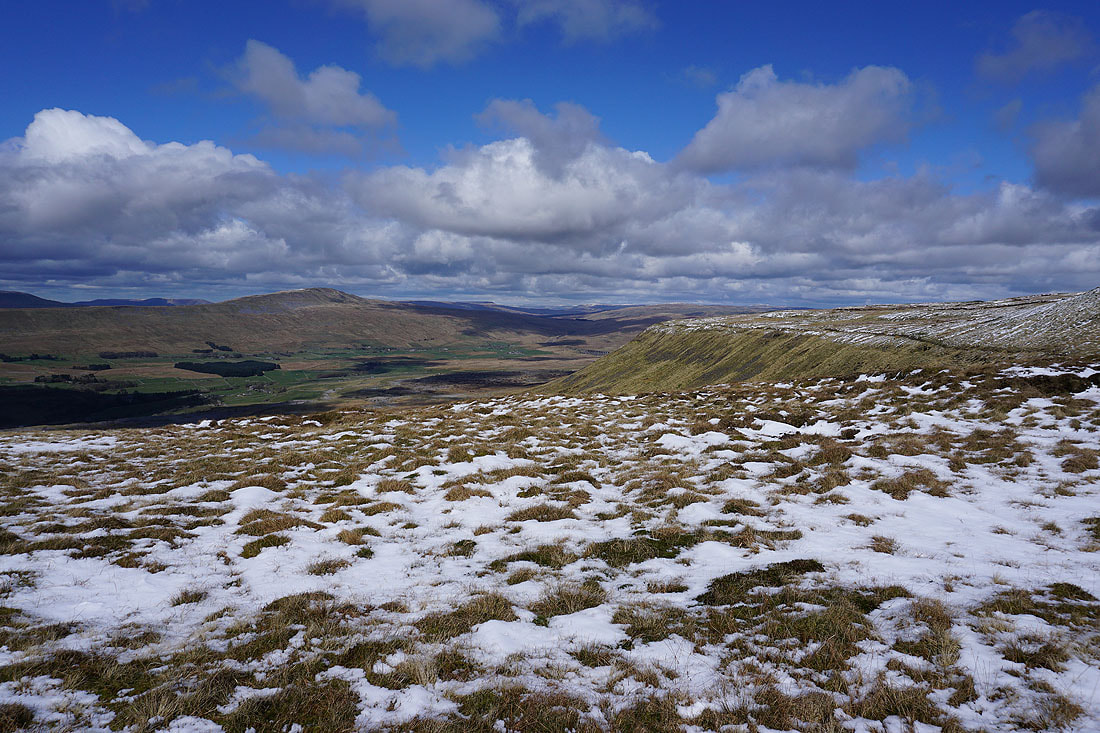
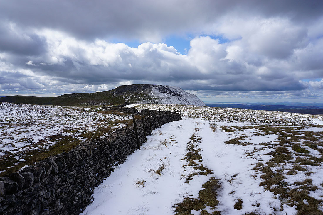
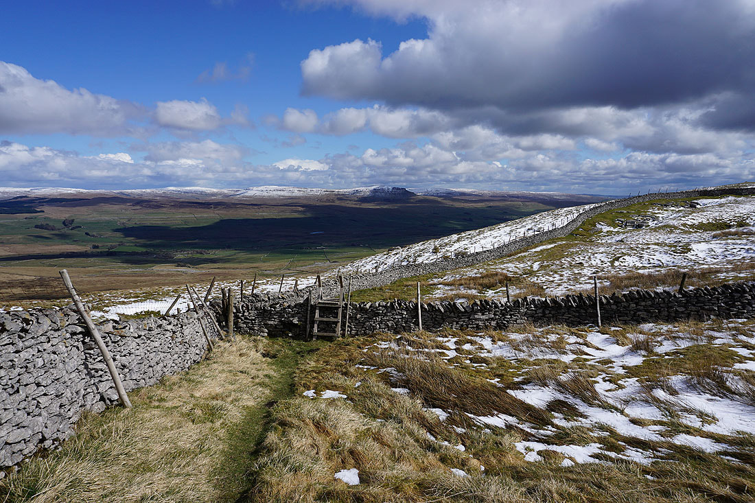
Instead I follow the wall north towards Park Fell. Not a bad view of Whernside and Ribblehead..
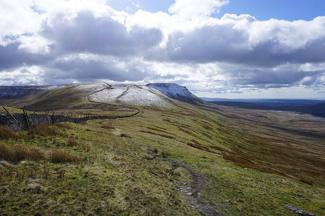
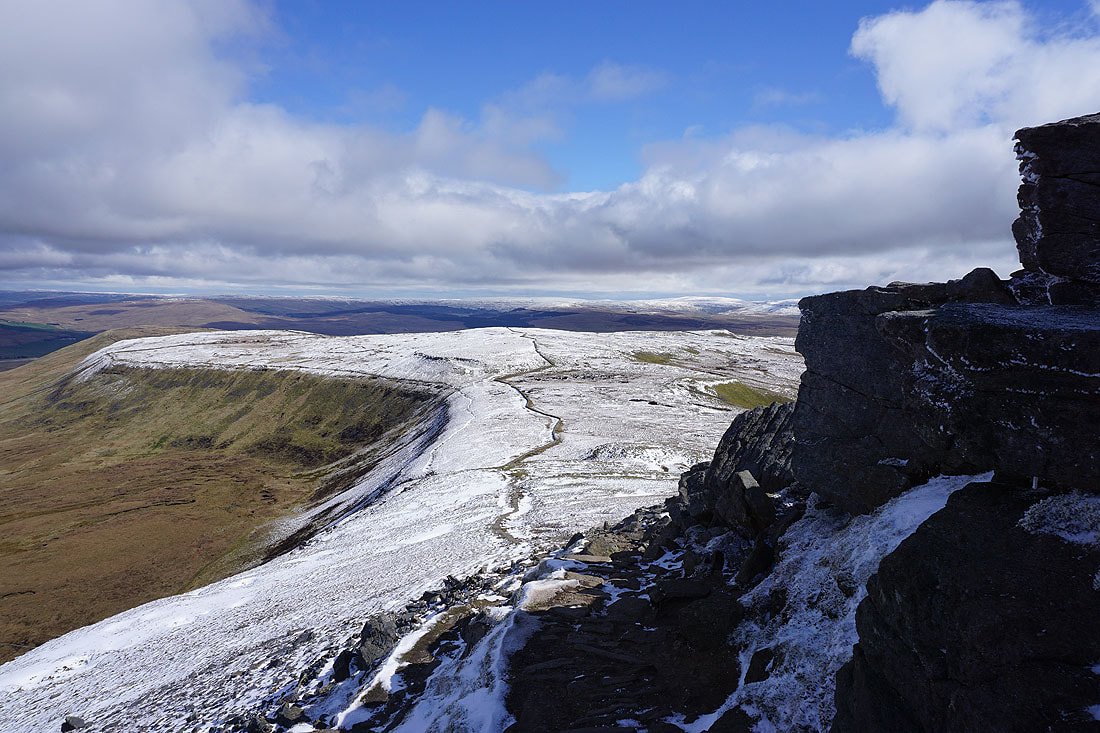
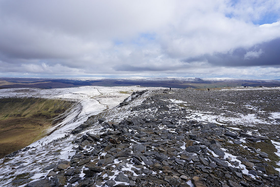
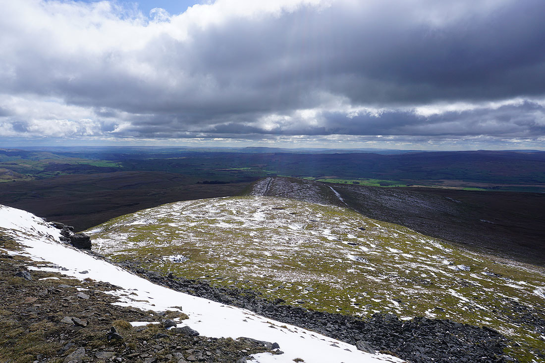
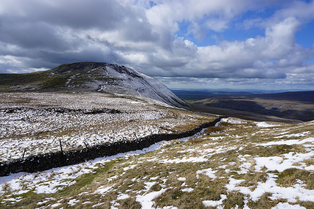
Looking southwest along the edges of Park Fell and Simon Fell to Ingleborough
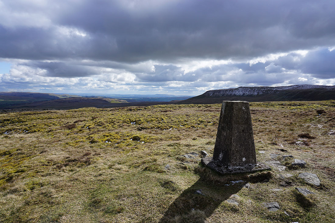
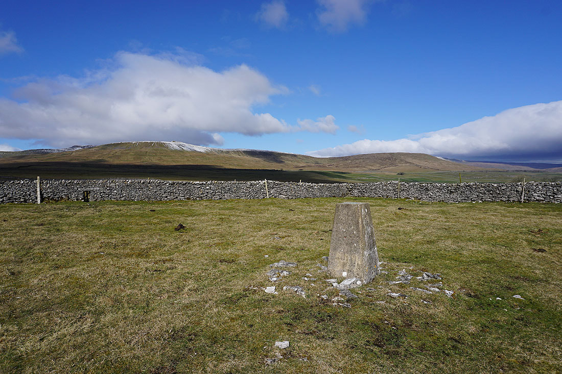
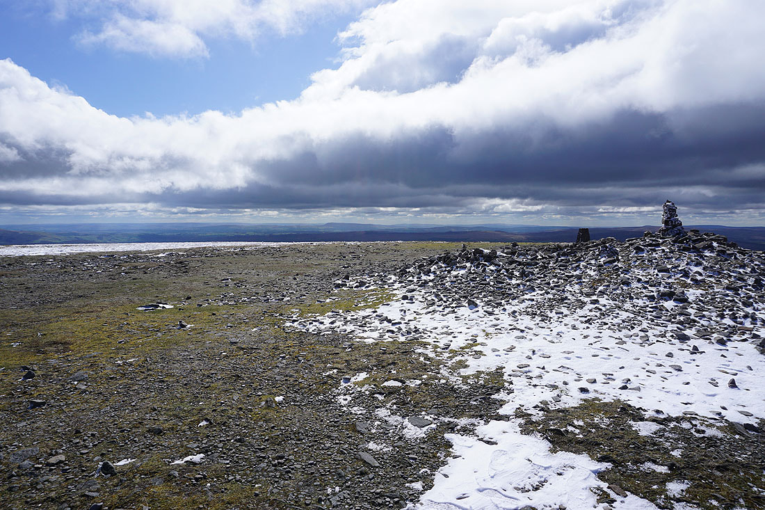
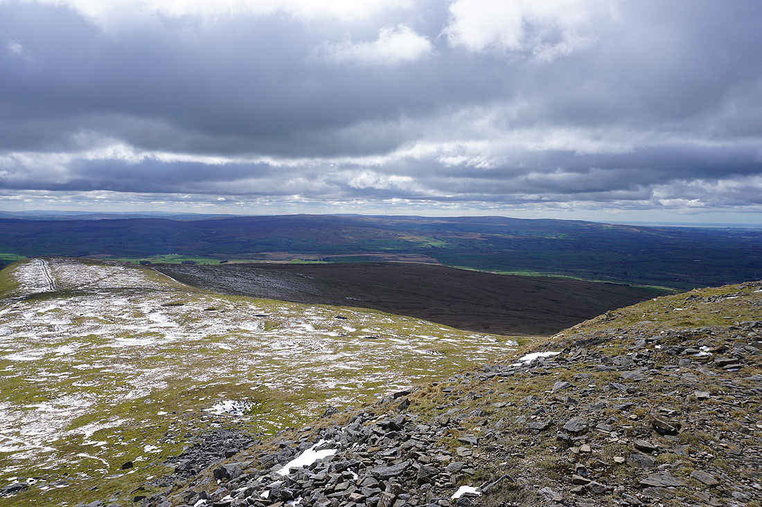
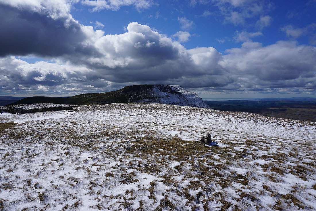
At the trig point on Park Fell. I can make out Pendle Hill in the distance to the left of the eastern slopes of Simon Fell.
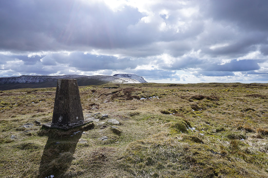
Simon Fell and Ingleborough
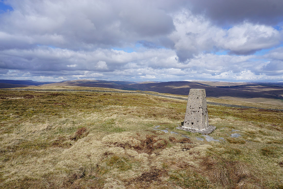
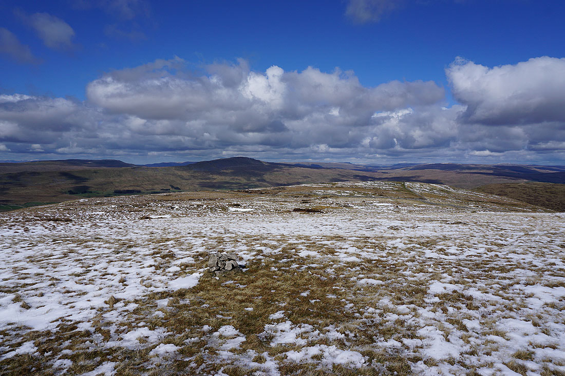
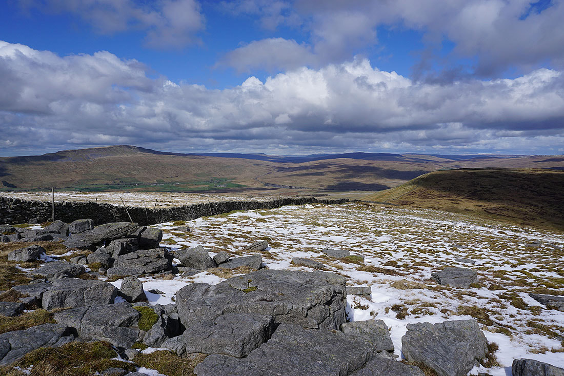
Great Knoutberry Hill and Dodd Fell Hill to the north and northeast
Cam Fell, High Green Field Knott and Foxup Moor to the northeast and east
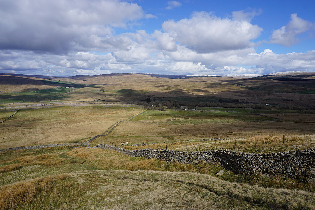
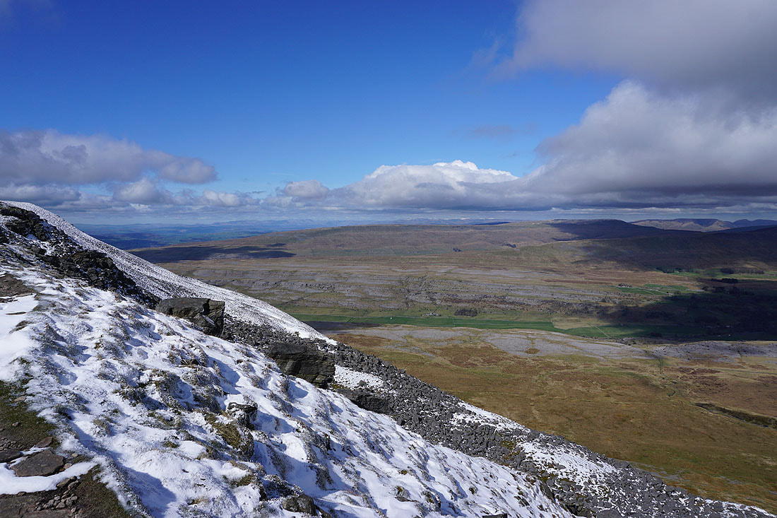
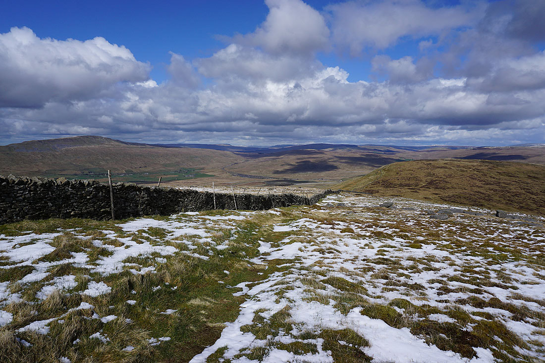
A steep descent from Park Fell down to Colt Park
The Ribblehead Viaduct in the distance
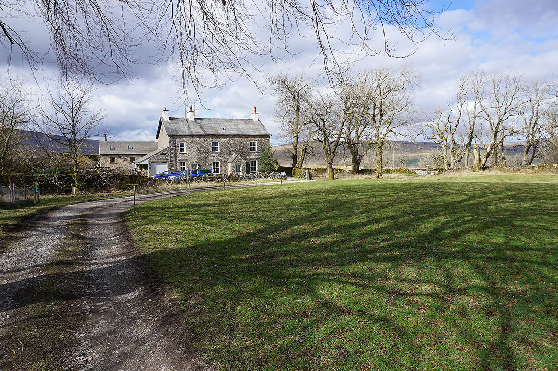
Colt Park Barn
From Colt Park Barn I take the footpath south into the Ingleborough National Nature Reserve
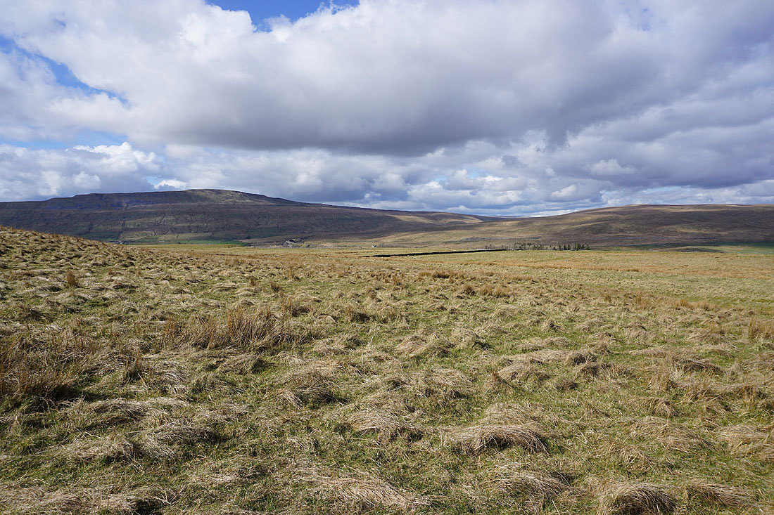
On the footpath across Selside Shaw with Penyghent on the other side of Ribblesdale
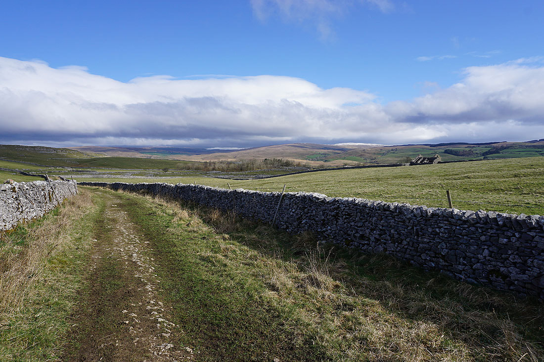
Blue skies and sunshine on the moors of upper Ribblesdale
The footpath reaches Selside Shaw Old Lane just above Selside
Before I head home, a couple of photos of Penyghent..