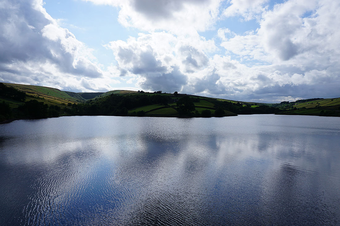
1st August 2021 - Wolf Stones to Crow Hill
Walk Details
Distance walked: 12.1 miles
Total ascent: 1935 ft
OS map used: OL21 - South Pennines
Time taken: 6 hrs
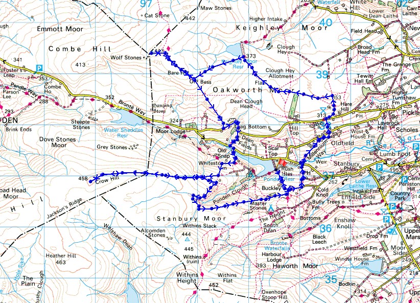
Route description: Ponden Reservoir-Pennine Way-Buckley Green-Millennium Way-Hob Lane-Millennium Way-Oldfield-Millennium Way-Hare Hill Edge-Millennium Way-Oakworth Moor-Keighley Moor Reservoir-Pennine Way-Wolf Stones-Pennine Way-Ponden Reservoir-Whitestone Farm-Ponden Slack-Crow Hill-Ponden Slack-Ponden Kirk-Far Slack-Buckley Green-Pennine Way-Ponden Reservoir
I decided to make the short drive to Bronte Country for my walk this weekend, I can't leave it too long between visits. After spending some time looking at my map trying to work out a route that would take in some new territory, I came up with one that took in Wolf Stones and Crow Hill. I'd never been on Crow Hill before and thought that it would be worth taking it in for the view, and for seeing the historic boundary stone that I would encounter on my way up. The view from Crow Hill was actually pretty good, and although it doesn't rise that much above the surrounding moorland it's northern slopes are steep enough to give some depth to it looking in that direction. It was a shame that the cloudiest part of the day was while I was up there, grey skies don't make for good photos. After setting off from Ponden Reservoir in the morning with a bit of sunshine around, the cloud filled in during the afternoon, only for it to start to melt away as I was on my way back down to where I'd parked. While I was on Crow Hill I briefly considered heading off across the moor to Alcomden Stones and Stanbury Moor, but with not having my trekking poles and not knowing just how wet underfoot it would be, I decided against it. One for another day.
After parking by Ponden Reservoir I followed the Pennine Way uphill to Buckley Green and then walked east along the track to Cold Knowl End Farm, where I picked up the Millennium Way. I then followed this trail down to and across Hob Lane, up to Oldfield and across Oldfield Lane, and up to Harehills Lane and onto Hare Hill Edge, where I kept on the trail and made my way west across Oakworth Moor and to Keighley Moor Reservoir. From Keighley Moor Reservoir I then followed a path west uphill to join the Pennine Way, then the Pennine Way took me northwest towards Wolf Stones, but I left the trail to make my way up to the trig point, where I stopped for lunch. After this break I made my way back to the Pennine Way and followed it south down into the Worth Valley and to Ponden Reservoir. When the Pennine Way went uphill from Ponden Reservoir and turned left, I turned right and took the footpath west past Whitestone Farm, then uphill onto the moorland of Ponden Slack where I met a track. This track was then followed west towards Crow Hill, and from its top a thin path took me up to the top of Crow Hill. After taking in the view I retraced my steps to Ponden Slack and took the footpath signposted for Ponden Kirk. I followed this path round the top of Ponden Clough, then keeping on access land, made my way to Far Slack and along a track to Buckley Green, where I picked up the Pennine Way for a return to Ponden Reservoir.
Route map
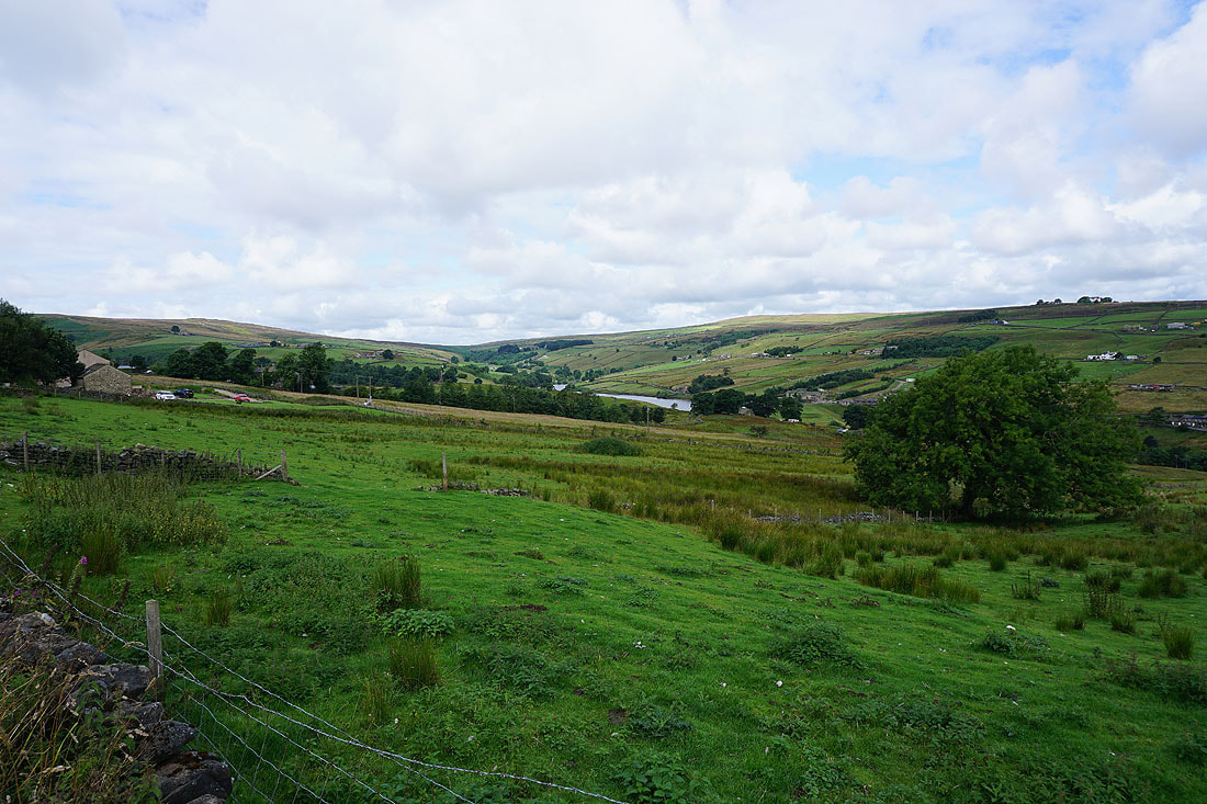
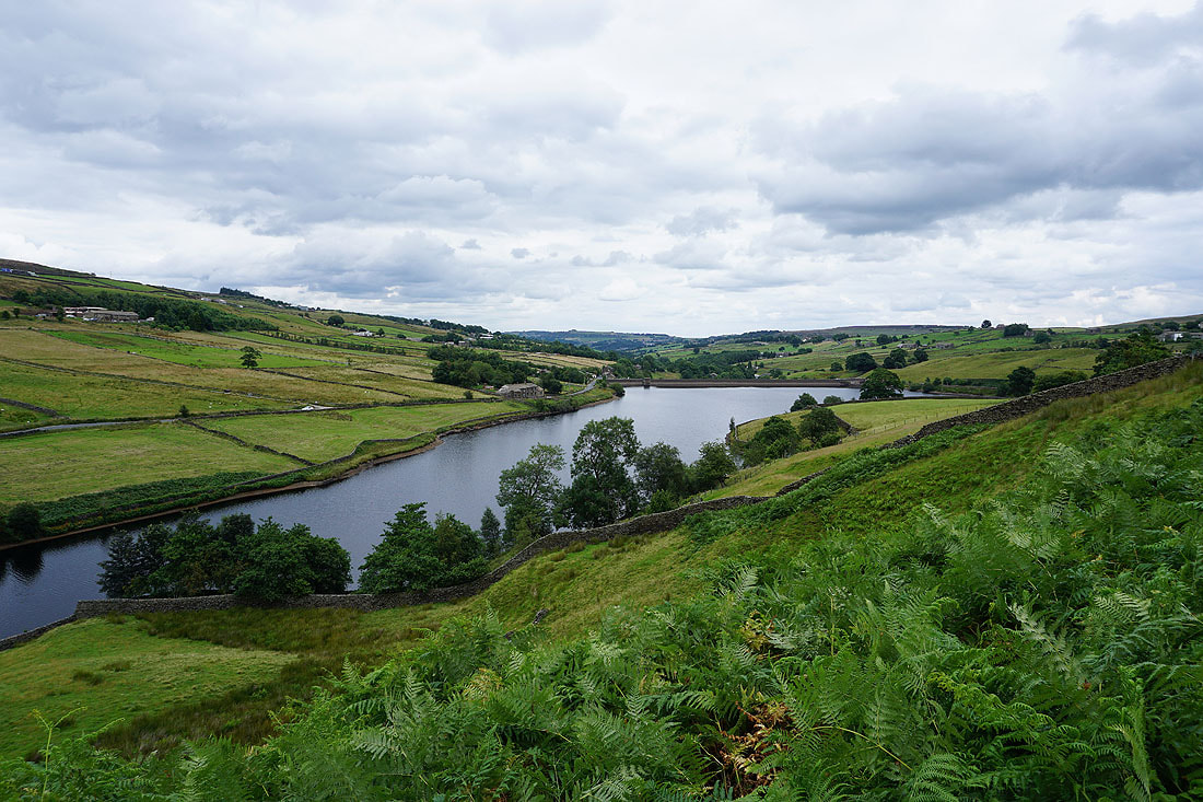
The head of the Worth Valley and a little bit of Ponden Reservoir from the Pennine Way through Buckley Green
The Pennine Way was soon left for the Millennium Way down to Hob Lane and the River Worth
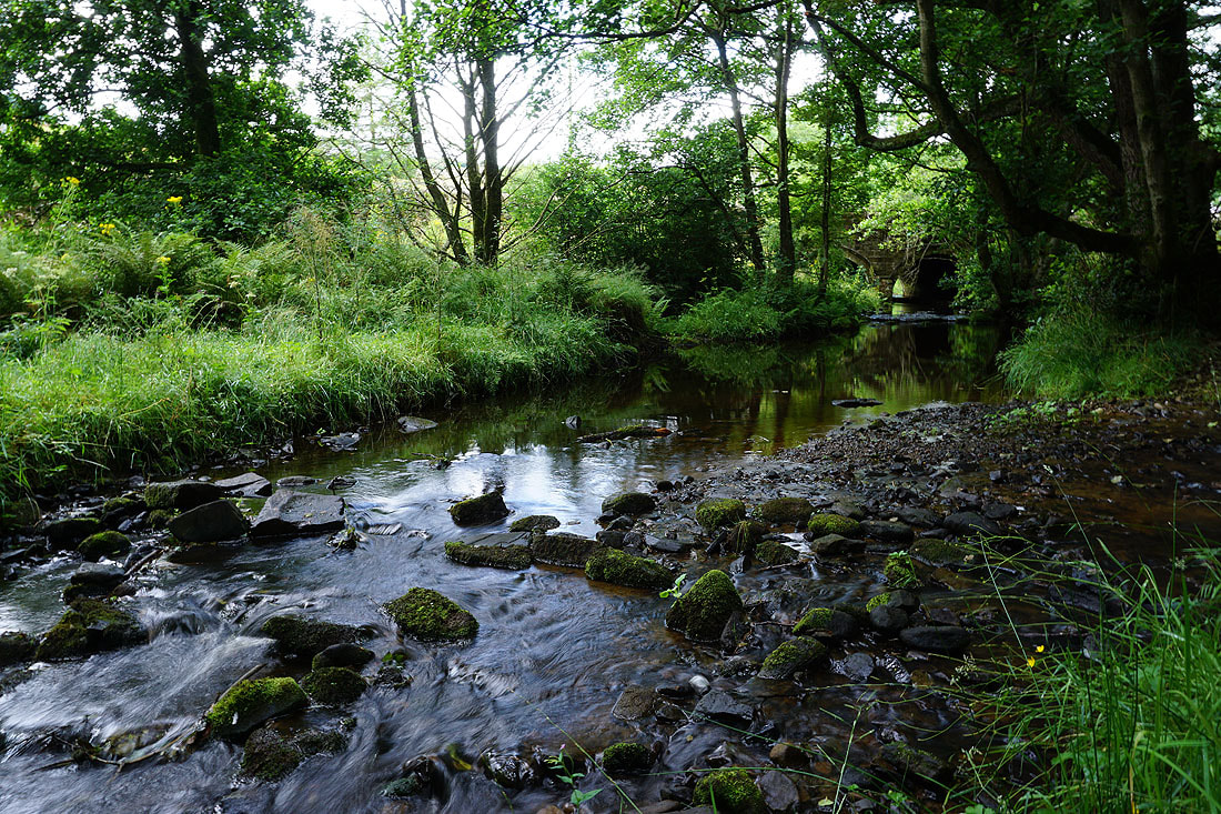
Briefly by the River Worth
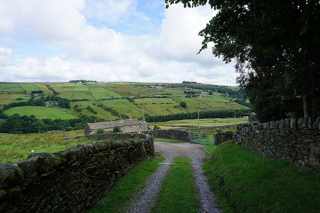
Looking back to Ponden Reservoir and Stanbury Moor from the footpath up to Oldfield
Oldfield and Penistone Hill from Hare Hill Edge
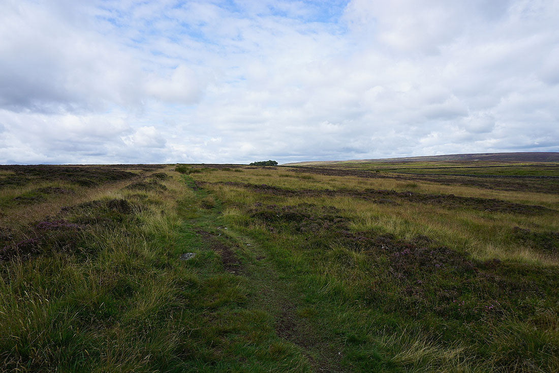
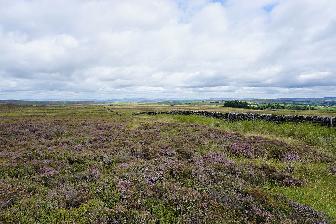
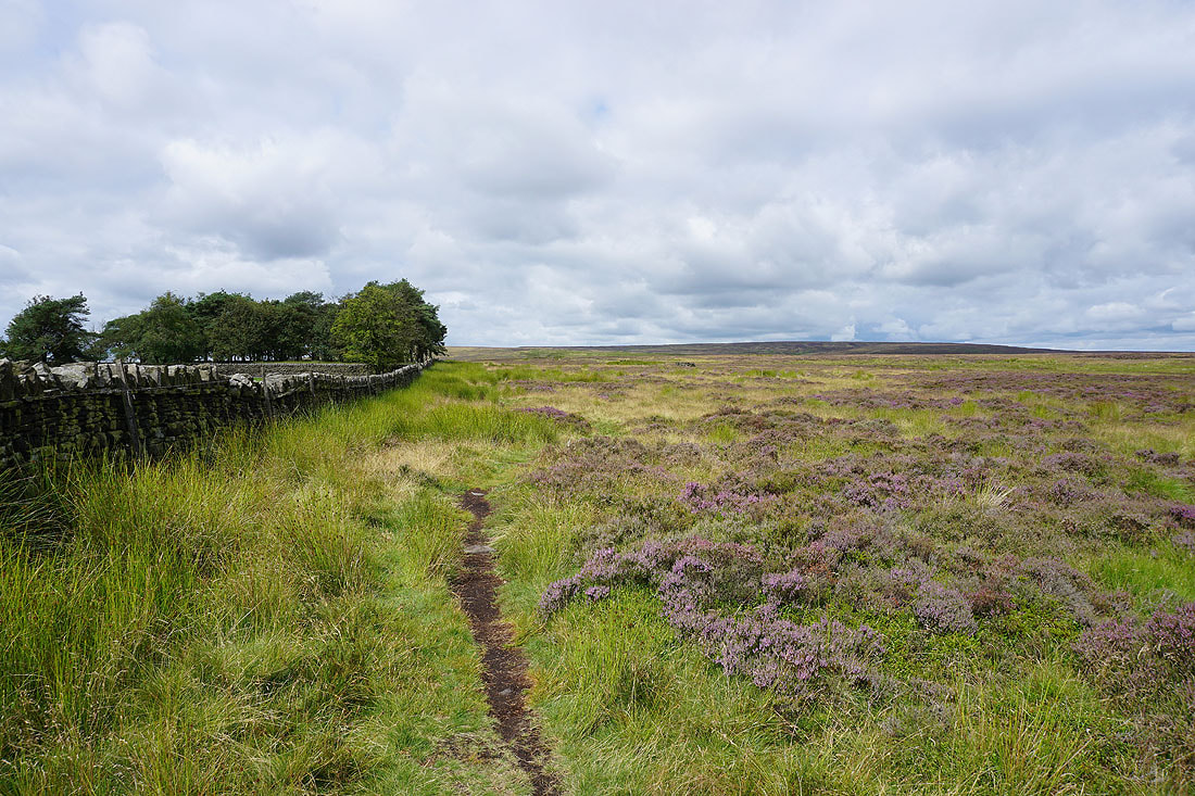
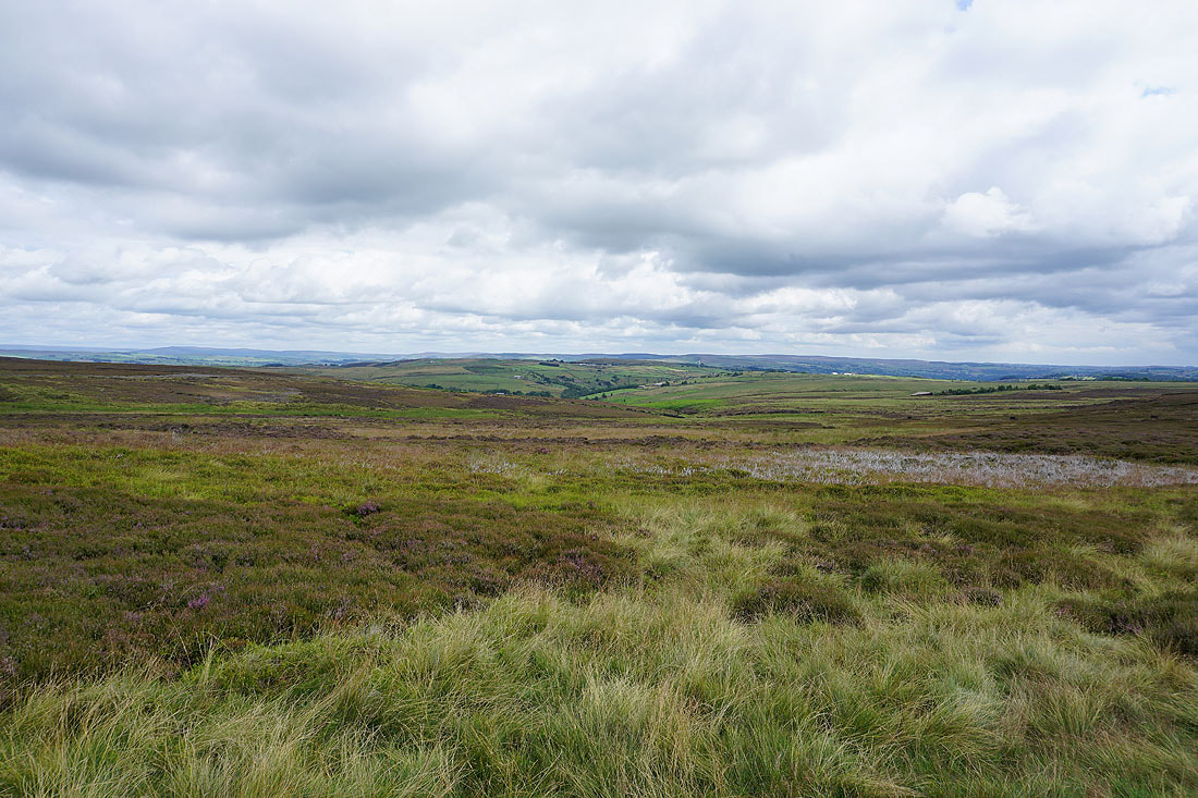
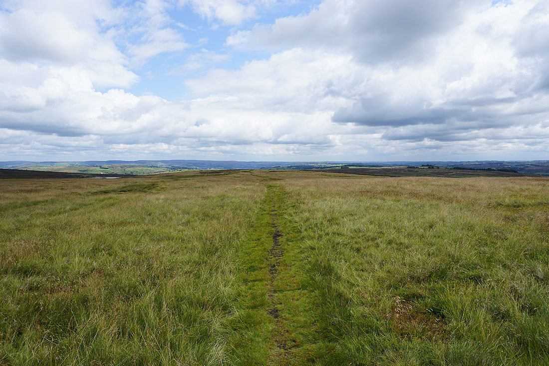
Following the Millennium Way from Hare Hill Edge up onto Oakworth Moor, with great views of the surrounding heather covered moors....
On the other side of the Worth Valley the moorland rises to Crow Hill..
..and Stanbury Moor
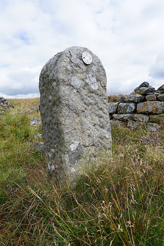
OS benchmark spotted on a boundary stone
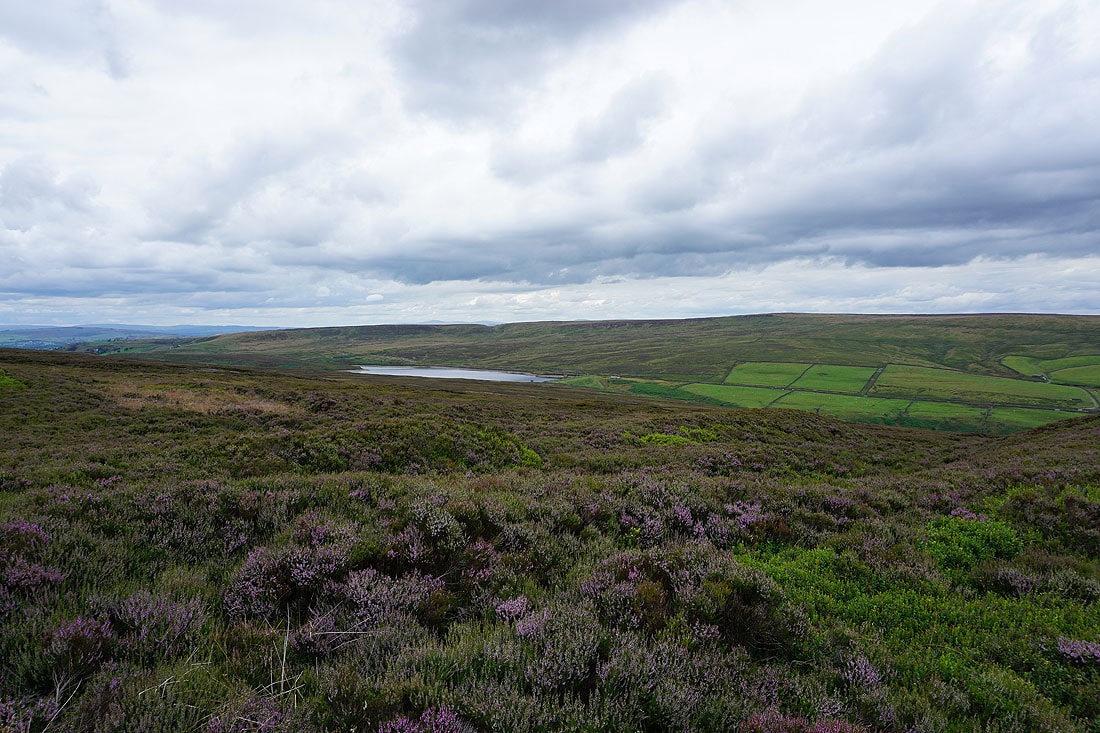
Looking towards the valley of Newsholme Dean as I approach Keighley Moor Reservoir
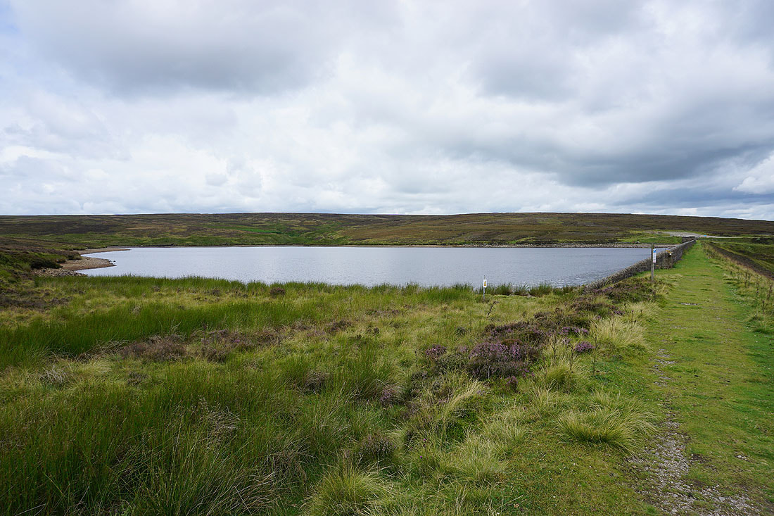
By Keighley Moor Reservoir
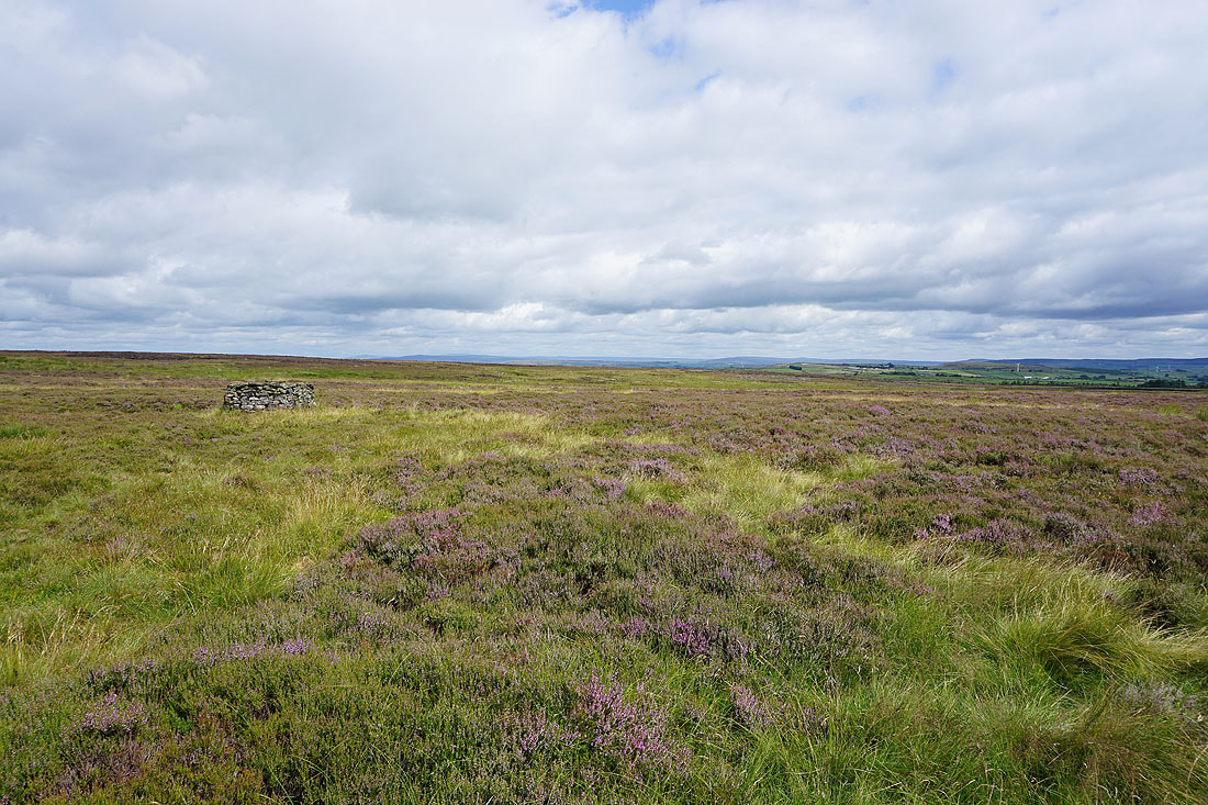
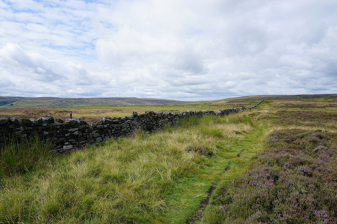
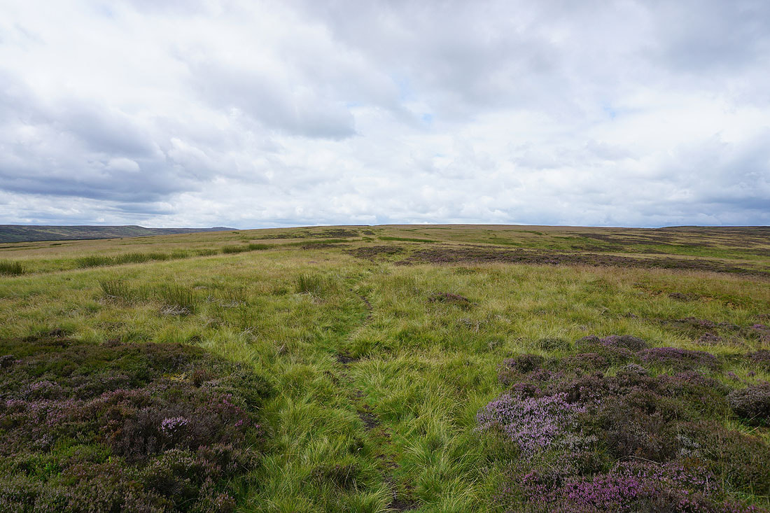
From Keighley Moor Reservoir I follow a path up Oakworth Moor to join the Pennine Way
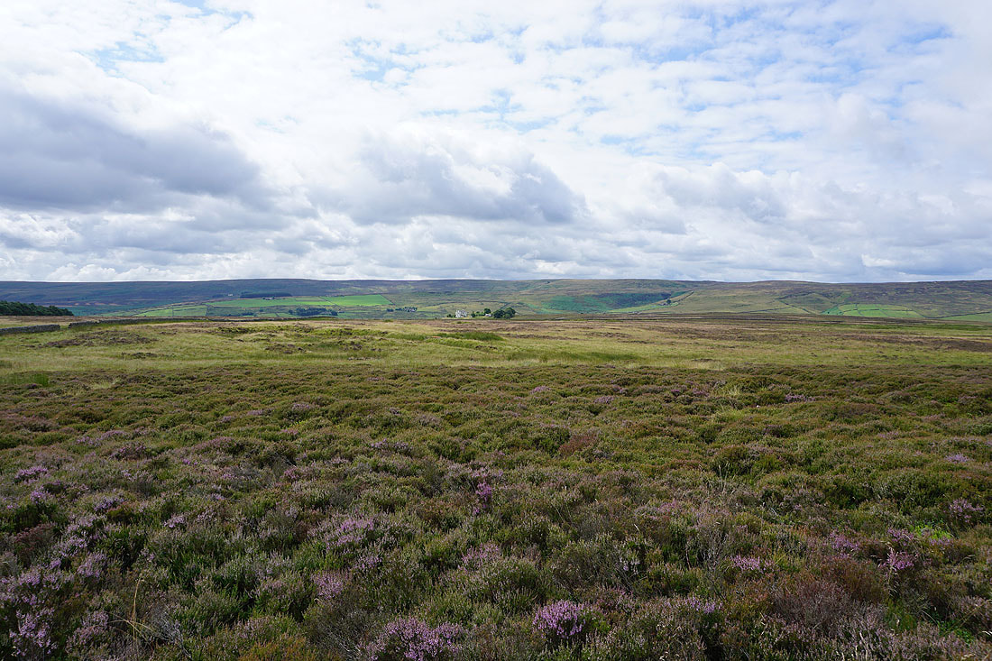
Looking back across Oakworth Moor to the moorland around Airedale in the distance
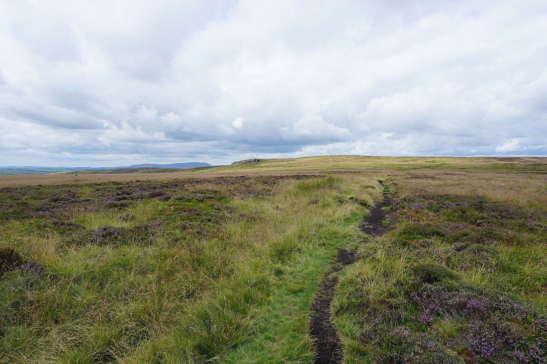
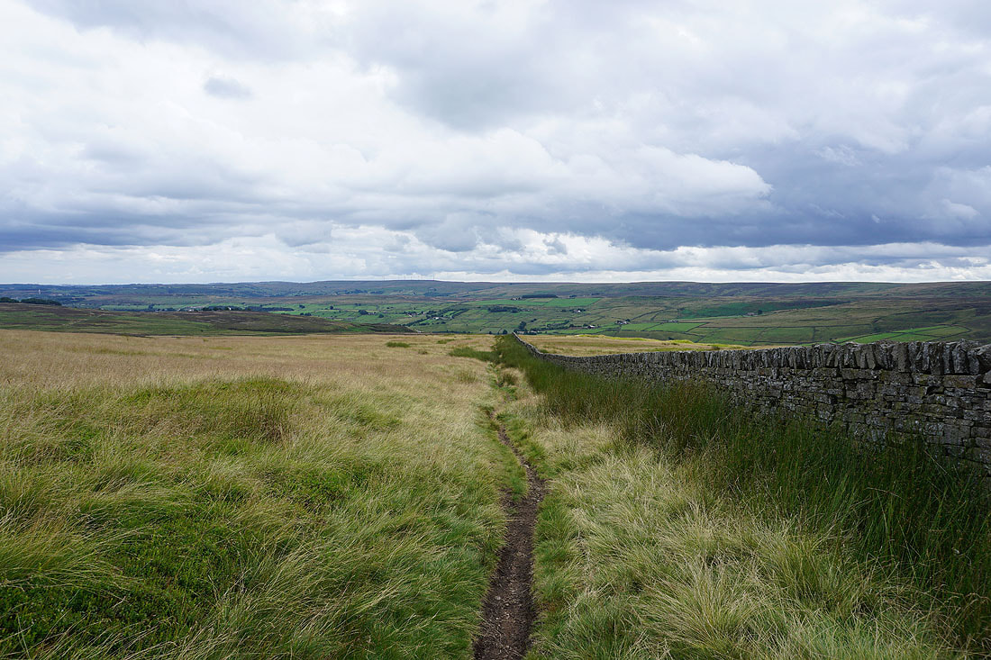
On the Pennine Way to Wolf Stones and Pendle Hill appears in the distance to the left of the gritstone edge
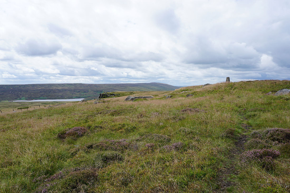
Watersheddles Reservoir and Boulsworth Hill as I head up to the trig point on Wolf Stones
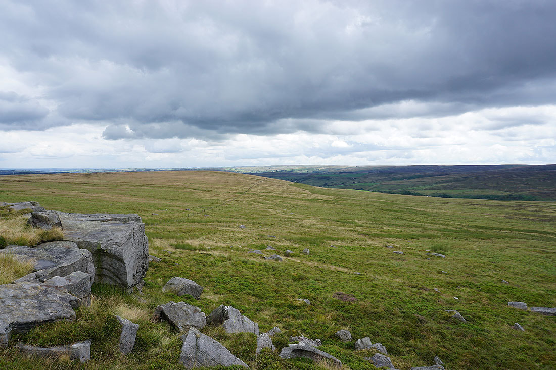
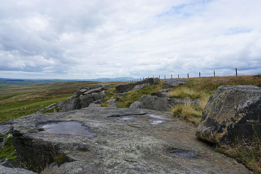
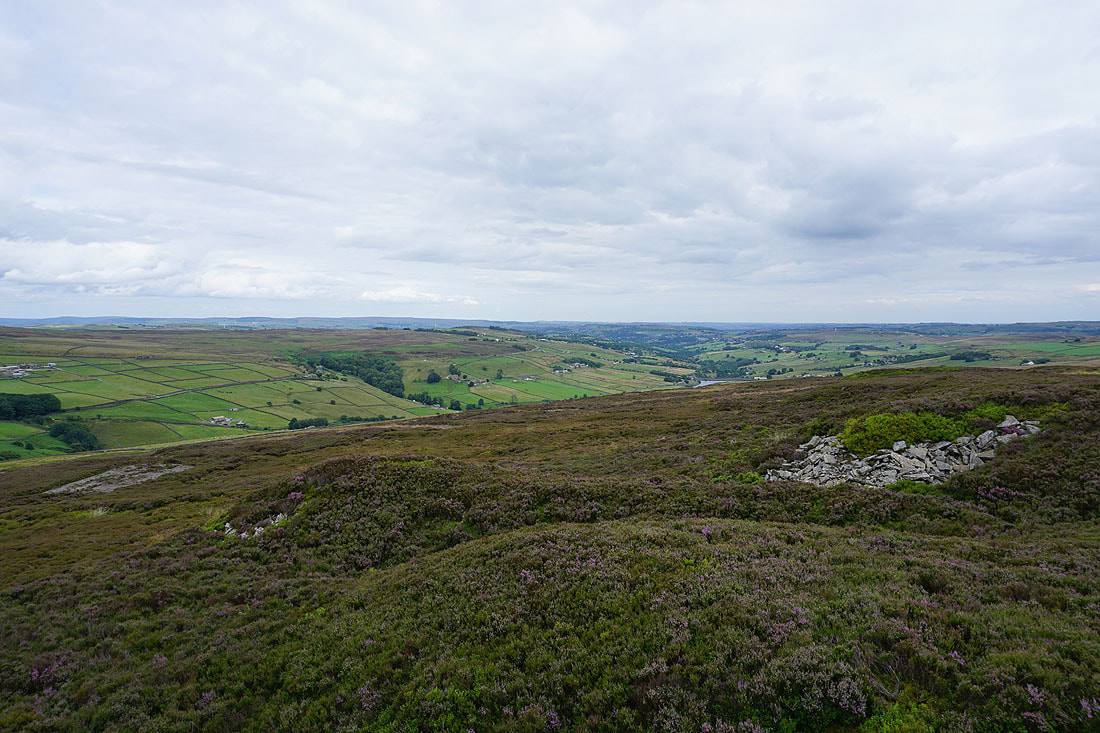
Looking across Oakworth Moor and down the Worth Valley from Wolf Stones
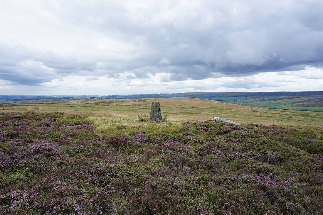
The trig point above
Pendle Hill in the distance
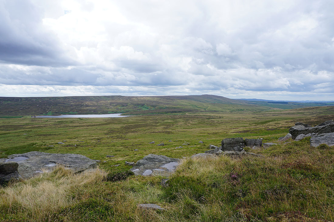
Watersheddles Reservoir and Boulsworth Hill
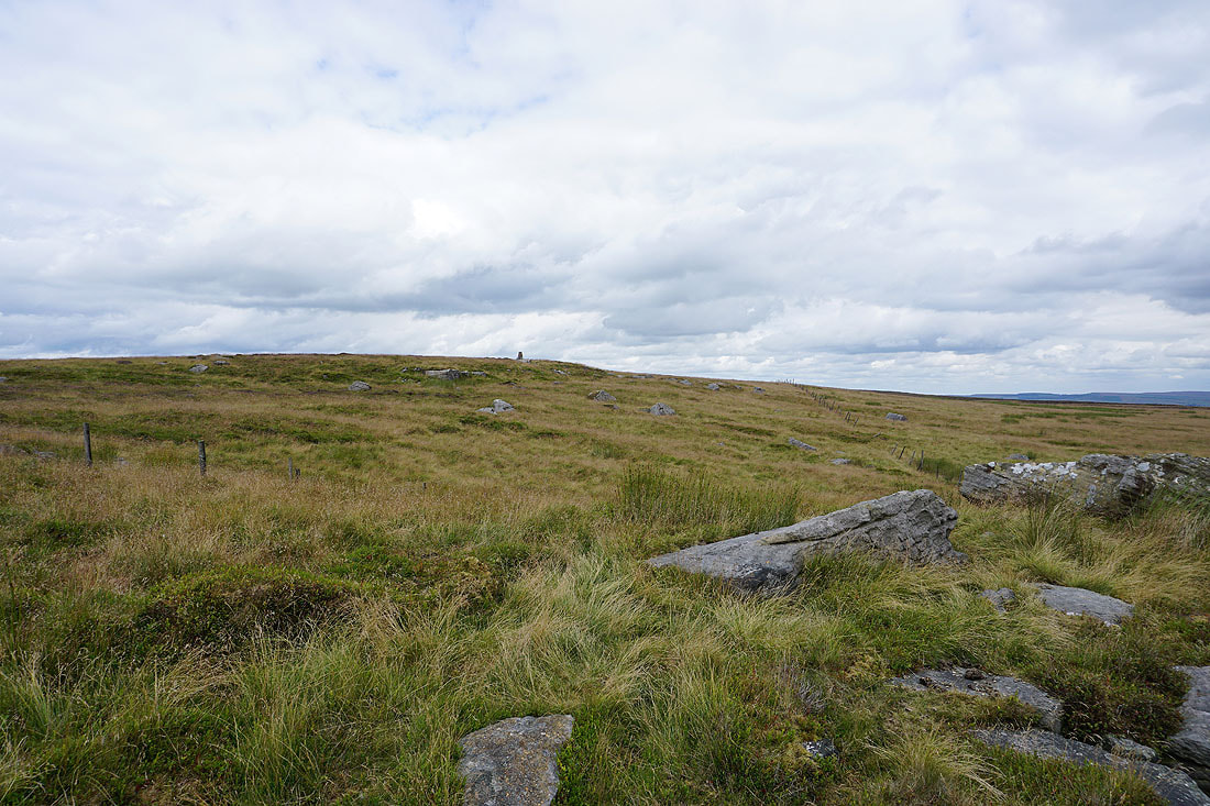
Oakworth Moor from the trig point
Pendle Hill and Weets Hill to the northwest with the outline of the fells of the Forest of Bowland in the far distance
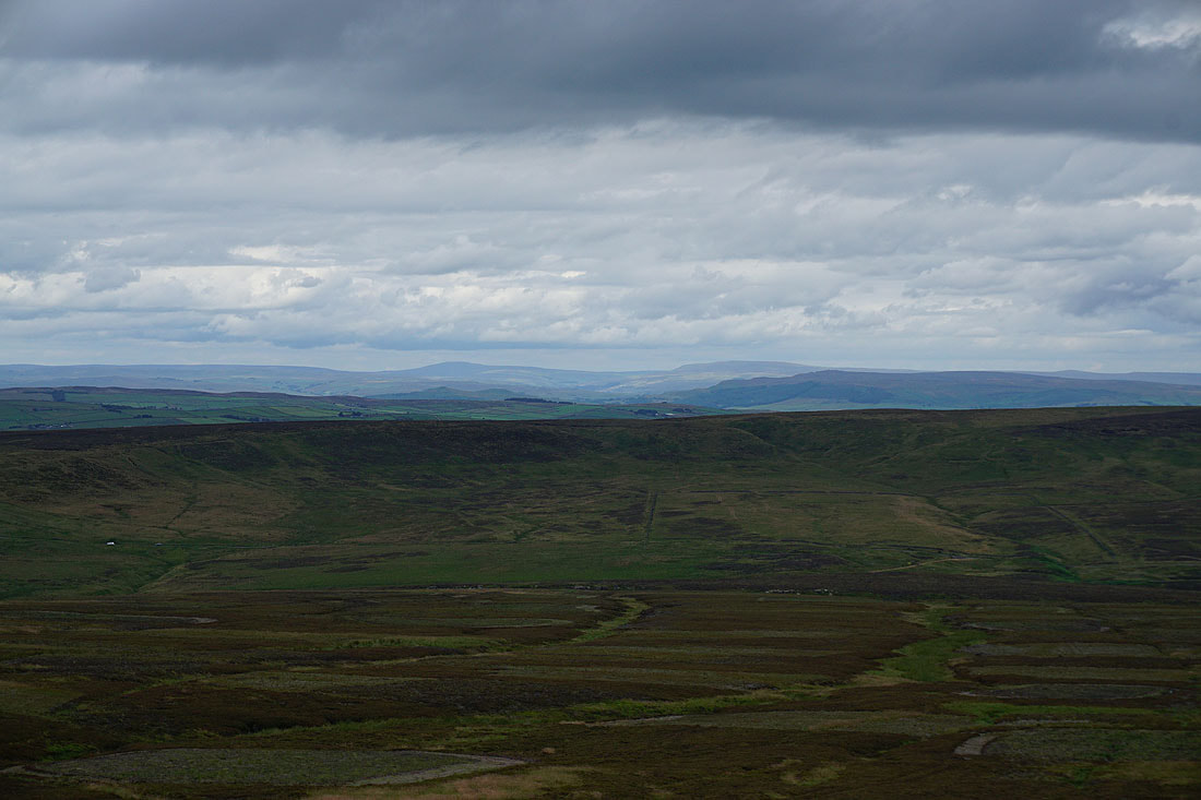
Ingleborough, Penyghent, Buckden Pike and Great Whernside to the north beyond the nearby moorland around Lothersdale
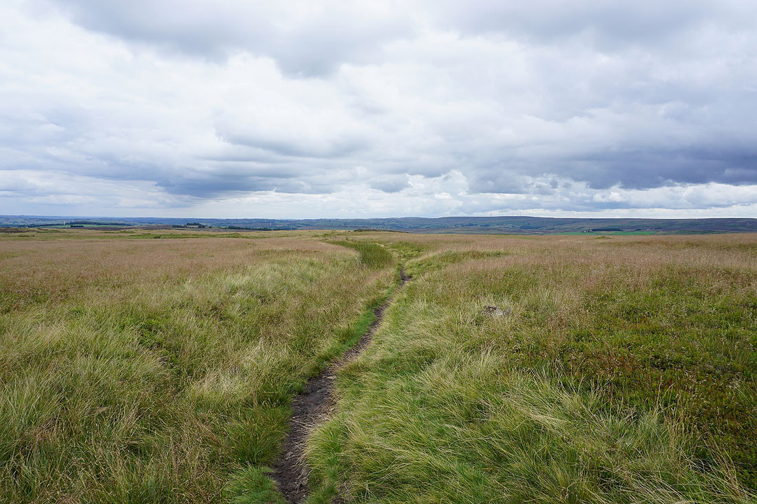
Heading back south on the Pennine Way
The boundary stone of Old Bess
Following the Pennine Way down into the Worth Valley...
and then around Ponden Reservoir..
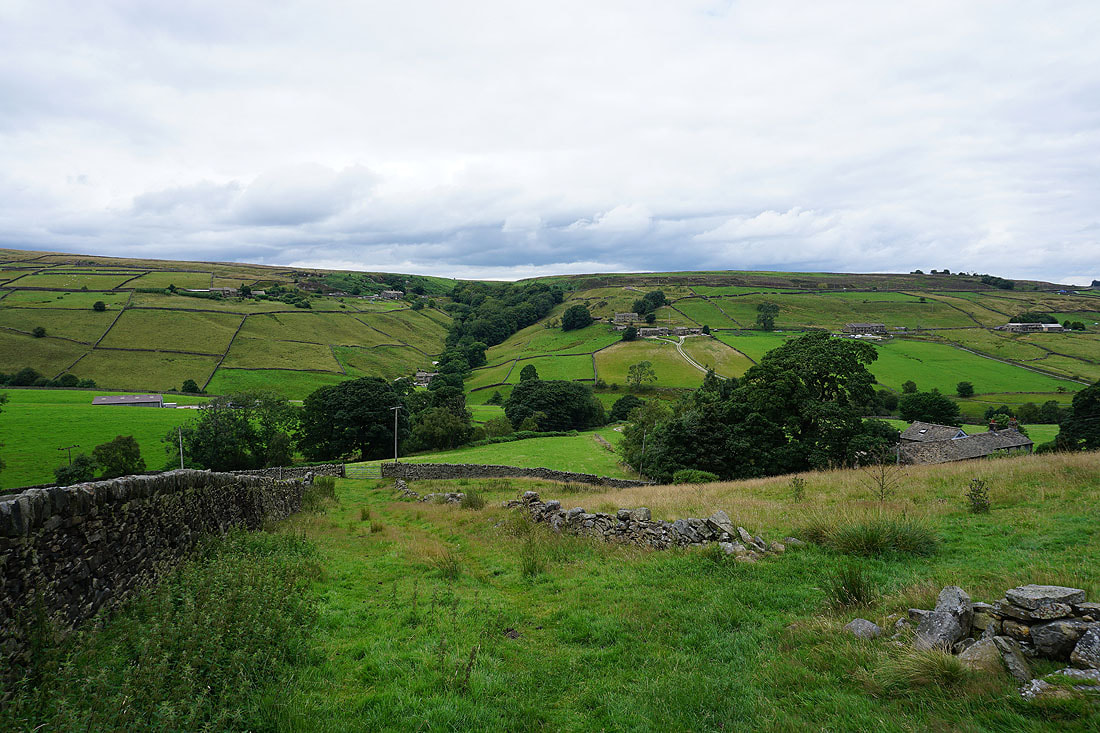
Looking across the Worth Valley to Dean Clough from above Whitestone Farm
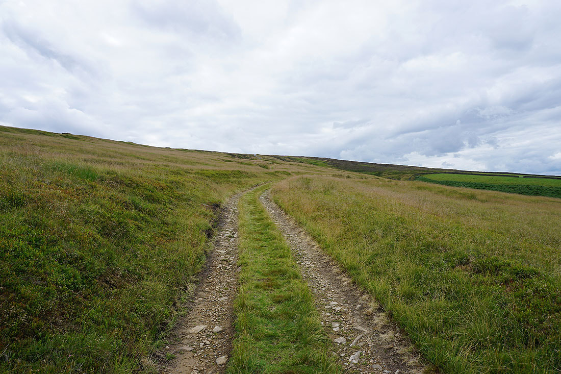
On the track up to the disused quarries on Crow Hill
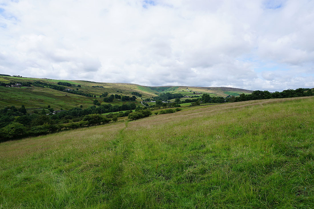
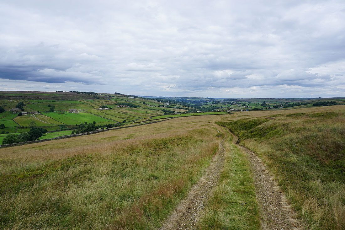
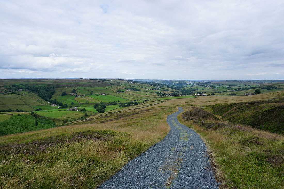
Looking back down the Worth Valley
Looking across the head of the Worth Valley to Combe Hill, Watersheddles Reservoir and Wolf Stones as I approach the top of Crow Hill
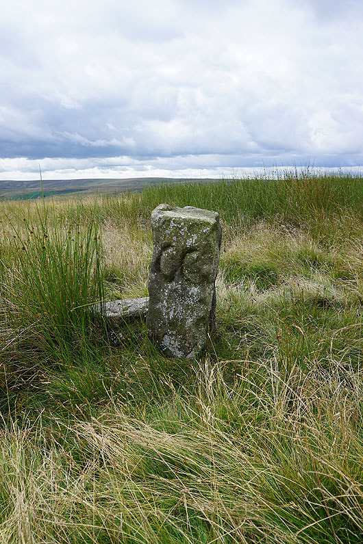
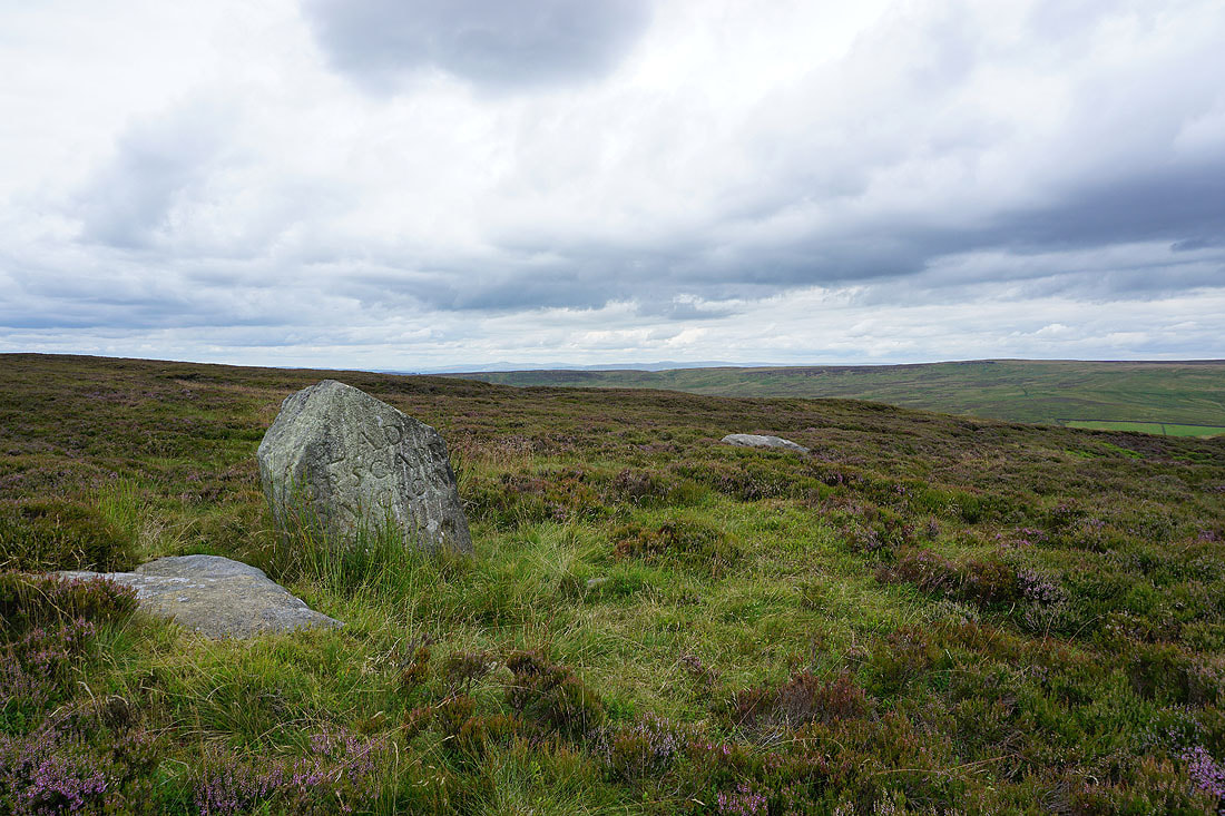
At the Lad o'Crow Hill boundary stone
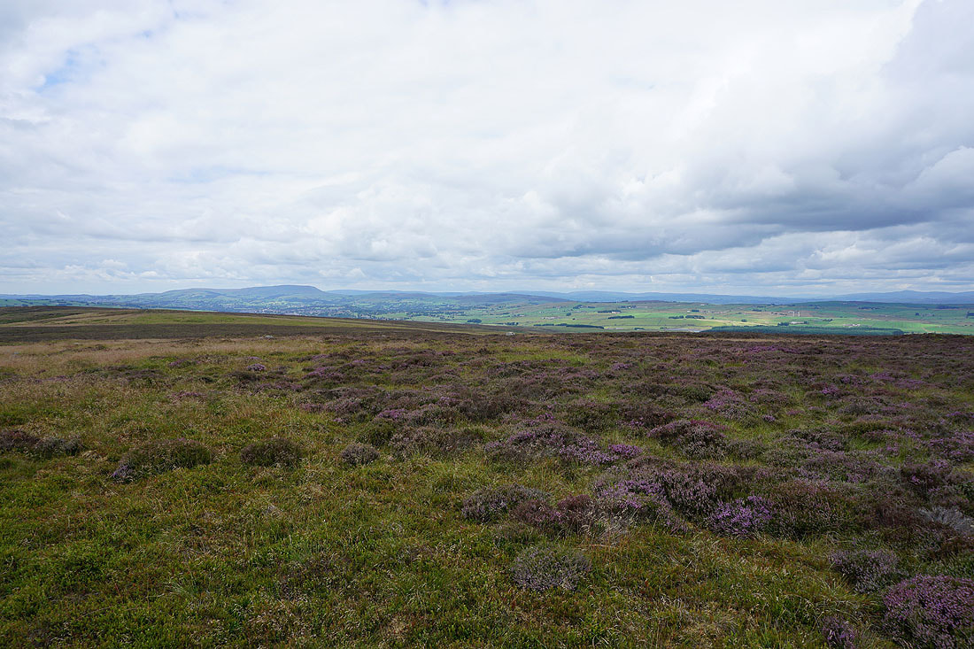
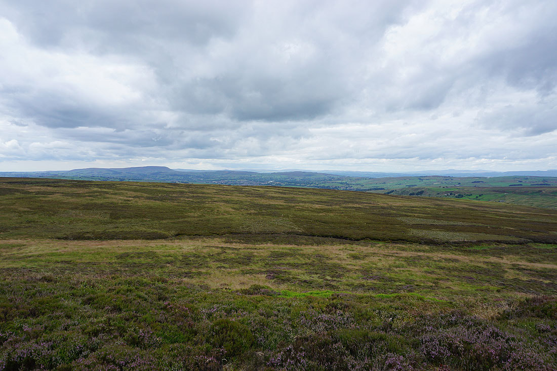
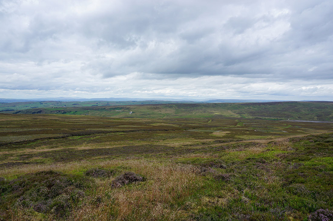
Views from the top of Crow Hill. To the northwest, Pendle Hill and Weets Hill, with the Forest of Bowland in the far distance.
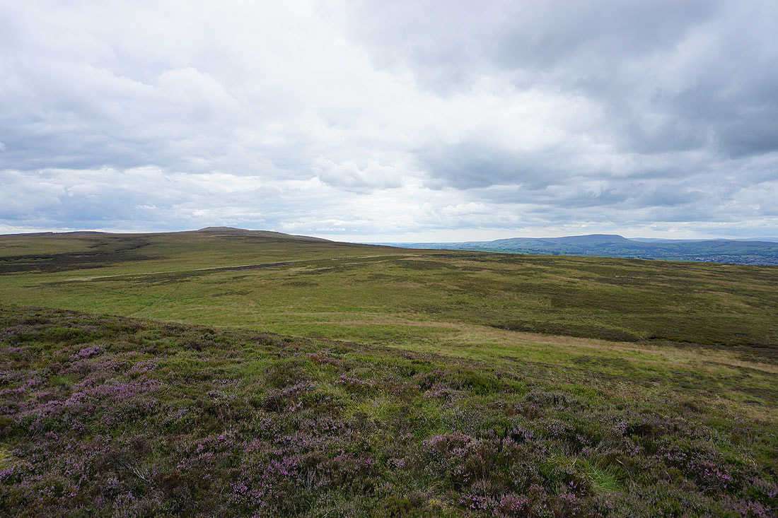
Boulsworth Hill and Pendle Hill to the west
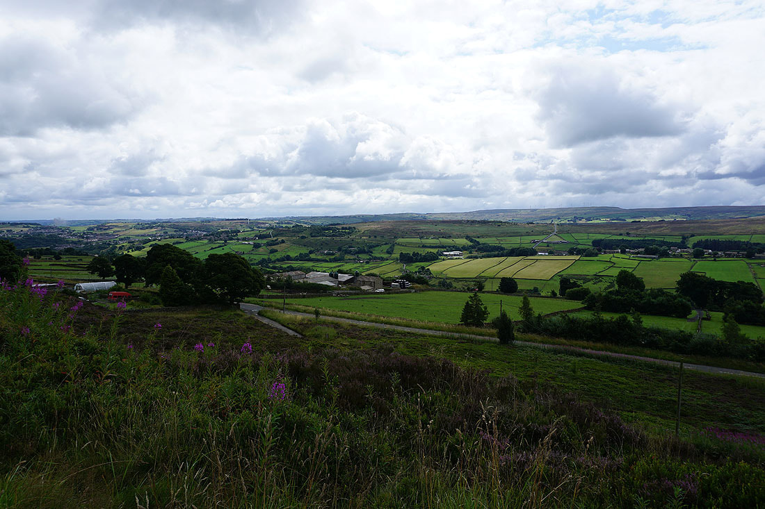
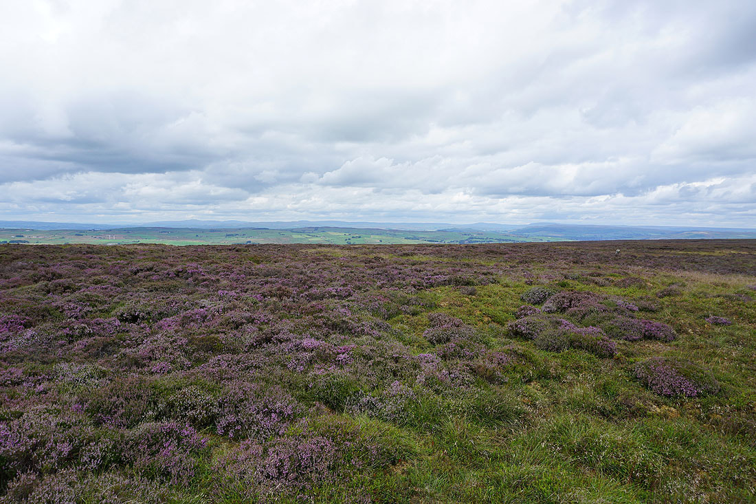
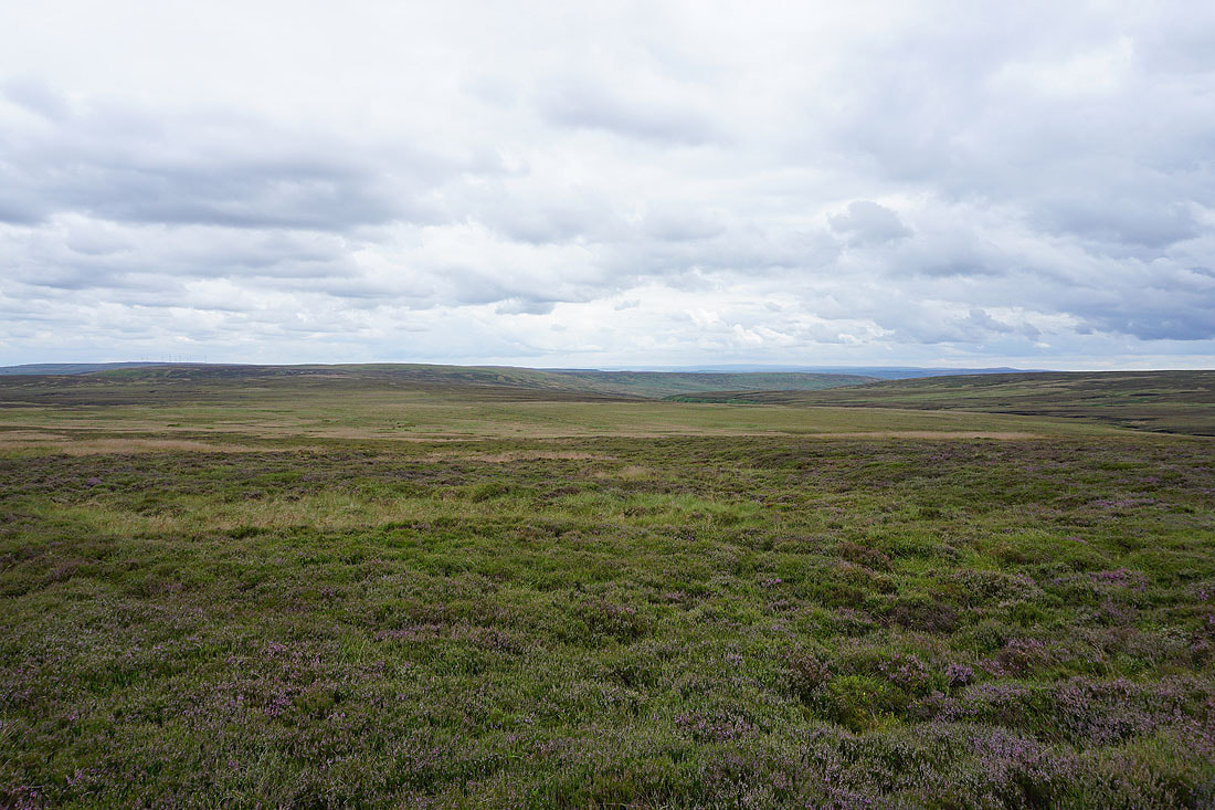
Heathery moorland to the south above Walshaw Dean and Hebden Dale
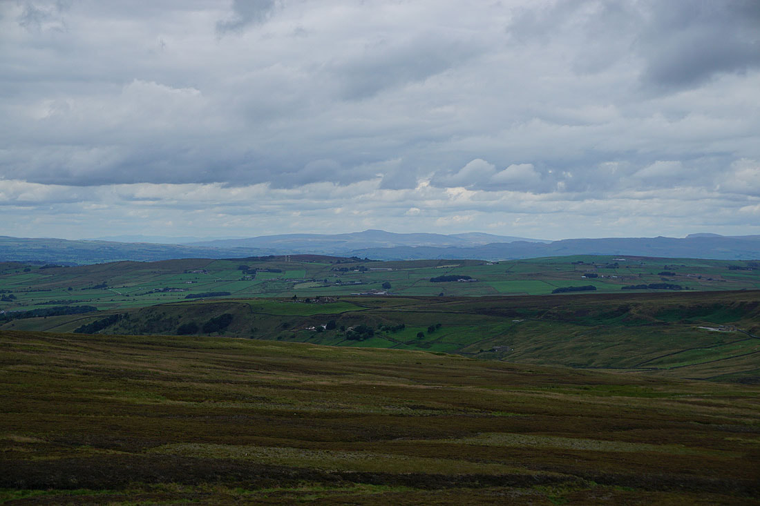
Finally, to the north the hills of the Yorkshire Dales beyond Combe Hill and the moorland around Lothersdale
Zooming in to Ingleborough, and to its left the faint outline of some of the Lake District fells can be made out
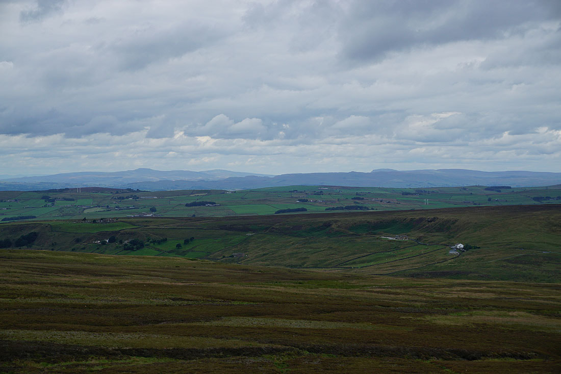
Moving to the right, a distant Ingleborough and Penyghent
and Buckden Pike and Great Whernside
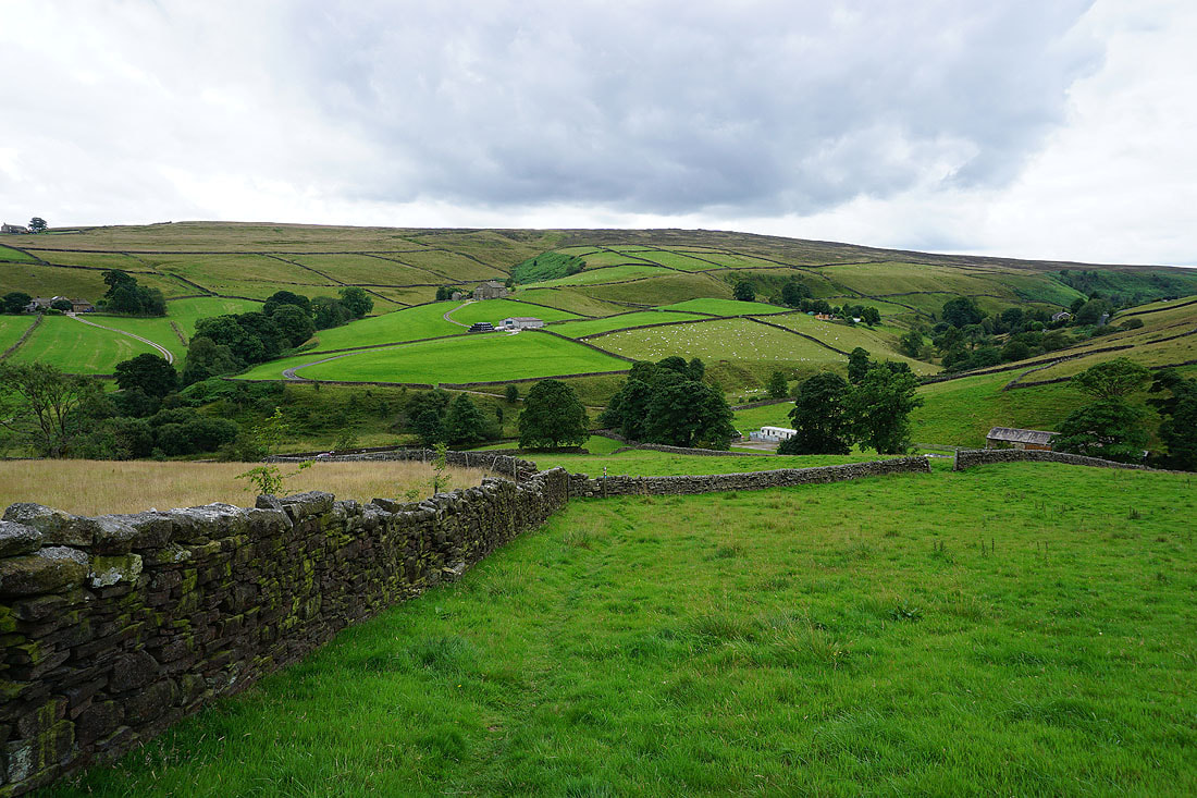
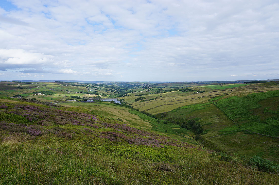
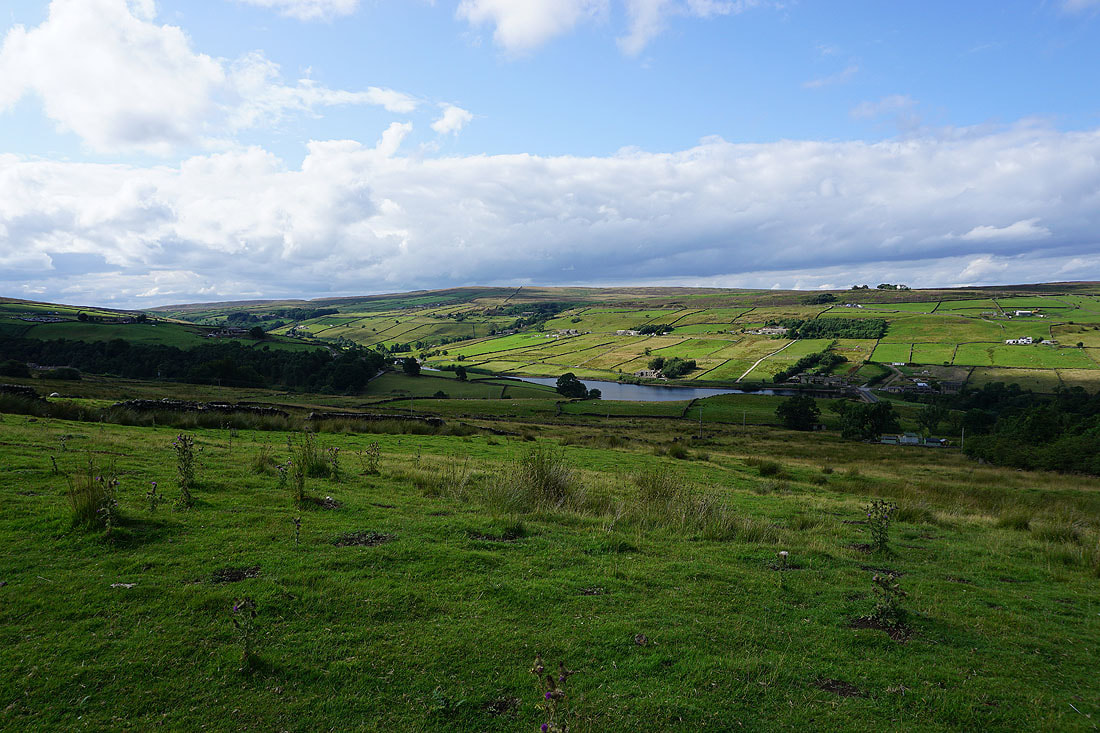
The Worth Valley below as I head back down from Crow Hill..
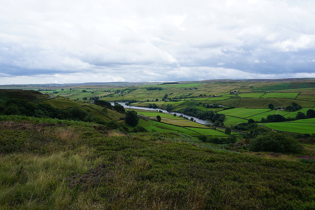
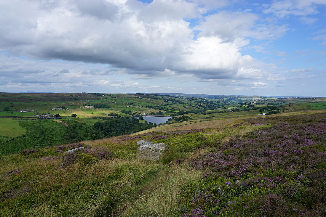
Ponden Reservoir and the Worth Valley from above Ponden Clough
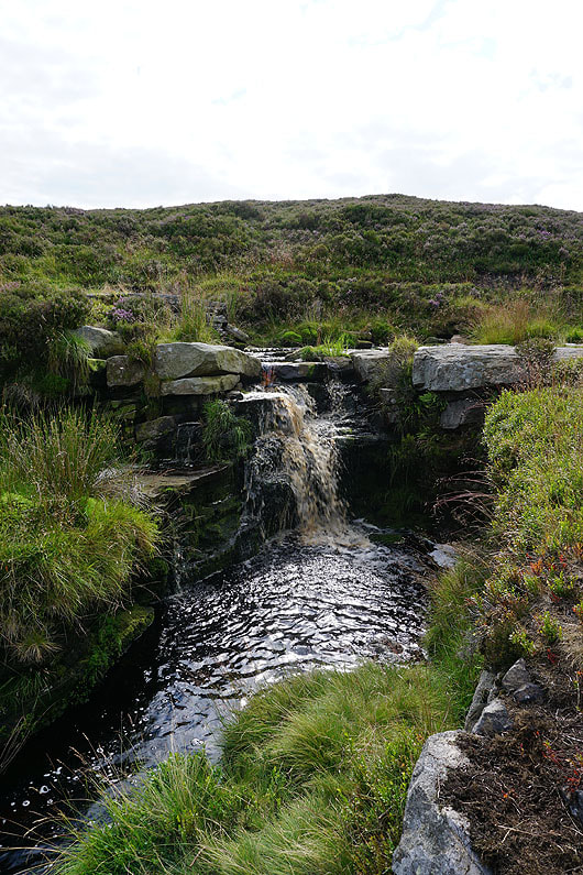
Crossing Ponden Clough Beck
Following the path above Ponden Clough to Ponden Kirk
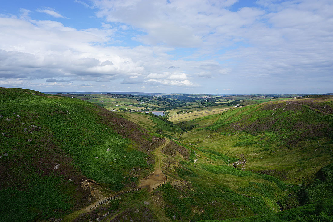
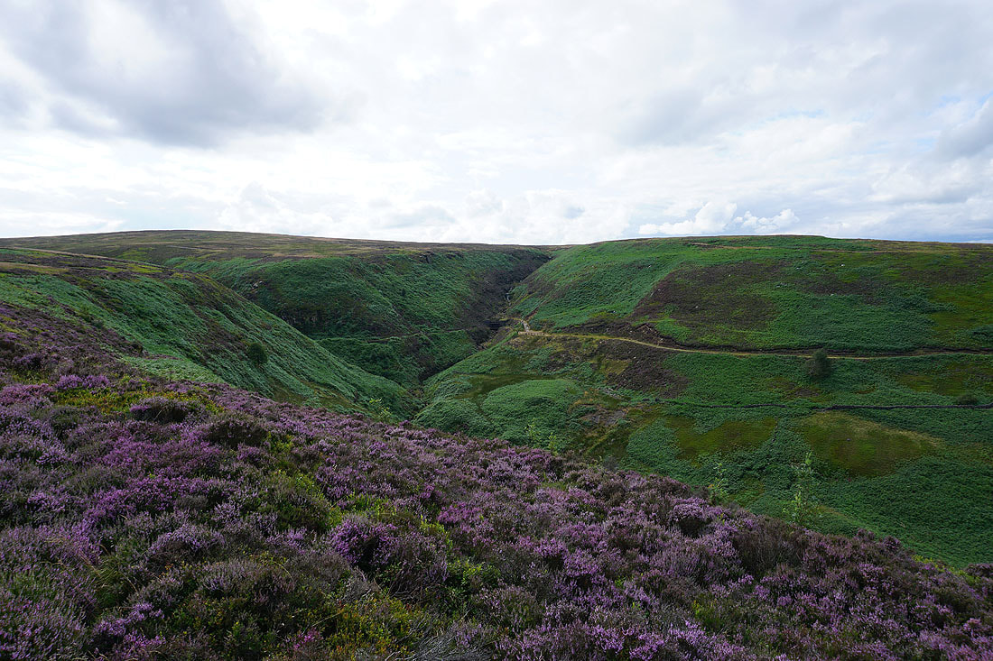
Taking in the view down Ponden Clough to the Worth Valley from Ponden Kirk
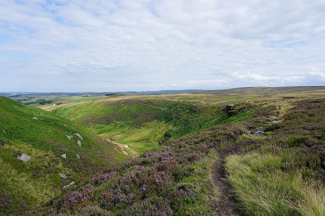
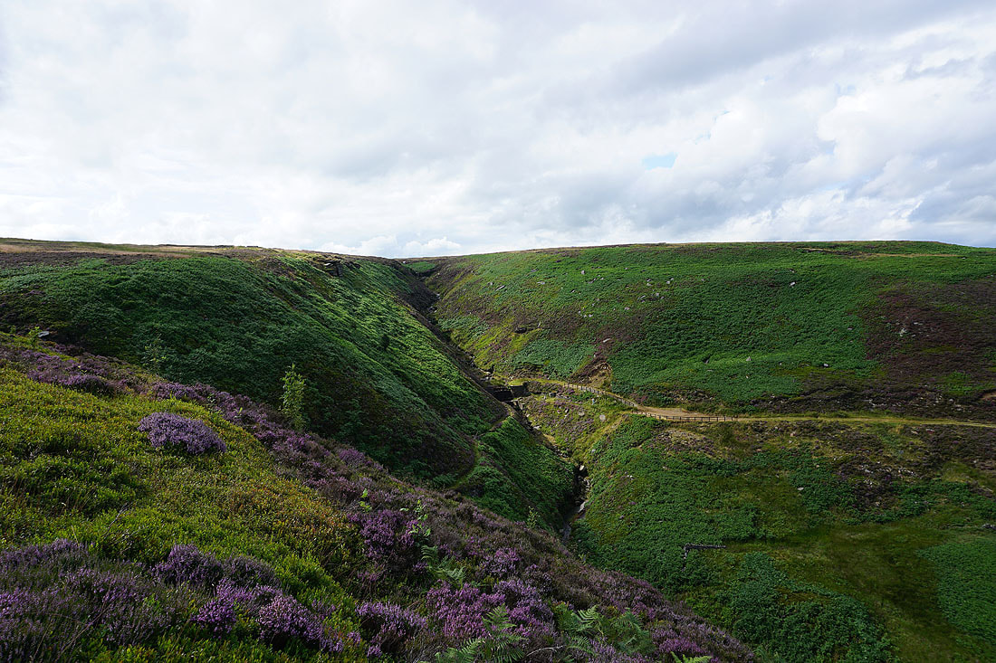
Above the heather and bracken covered Ponden Clough..
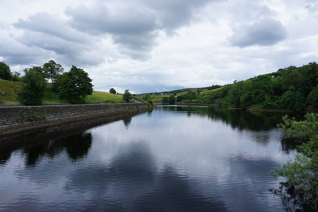
Ponden Reservoir below
and again as I reach Buckley Green and join the Pennine Way
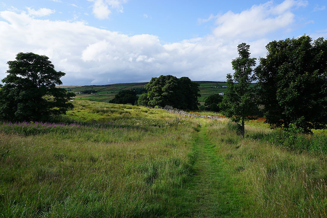
On the Pennine Way down to Ponden Reservoir
Late afternoon sunshine over Ponden Reservoir
