1st December 2019 - Middleton Fell
Walk Details
Distance walked: 7.5 miles
Total ascent: 2127 ft
OS map used: OL2 - Yorkshire Dales, Southern & Western areas
Time taken: 6 hrs
Route description: Barbon-Eskholme-Eskholme Pike-Castle Knott-Calf Top-Castle Knott-Eskholme Pike-Eskholme-Barbon
I had been thinking about doing a walk in the Lake District today for my second walk of the weekend, but changed my mind when I started worrying about the frost and ice on any ungritted roads that I would encounter. As an alternative I decided to do Middleton Fell from Barbon. It's been three years since I was last on its summit, by far the longest gap I've had between visits. This was no poor second choice though, as there are fantastic views to enjoy, especially when you have a winter's day like I had for it. Wall-to-wall blue skies and sunshine (for the most part), and excellent visibility for taking in those views, which included the part of the Lake District that I didn't go to.
From Barbon I made my way past the church of St. Bartholomew's and then turned left to follow the track over Barbon Beck. A footpath leaves the track to head for Eskholme past the woodland of Ellers, and then I walked uphill to reach a gate in the intake wall and access land. I then made my way to Calf Top, the summit of Middleton Fell, via Eskholme Pike and Castle Knott. While I was up there I paid a visit to the stone man at the western end of the summit ridge. I simply reversed my route to head back.
Route map
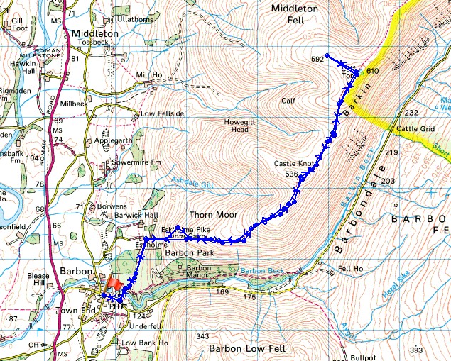
© Crown copyright. All rights reserved. License number PU 100034184.
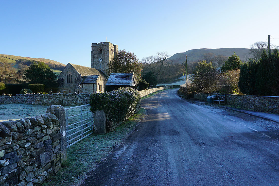
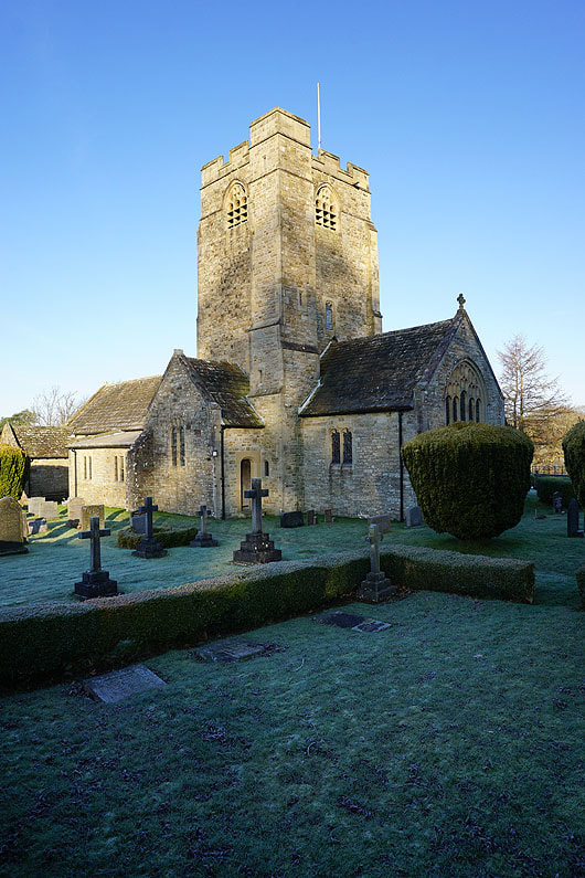
Walking past St. Bartholomew's church in Barbon..
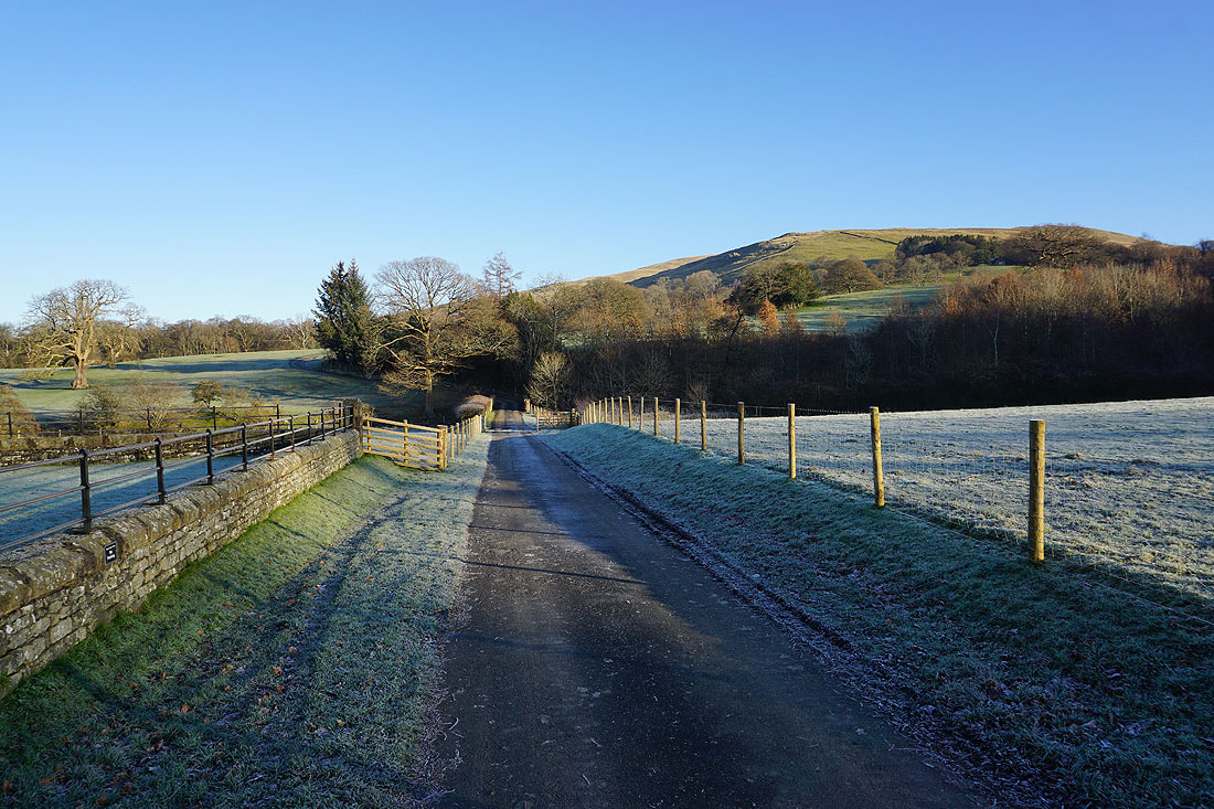
On the footpath over Barbon Beck to Barbon Park. Eskholme Pike is at the top of the hillside on the right.
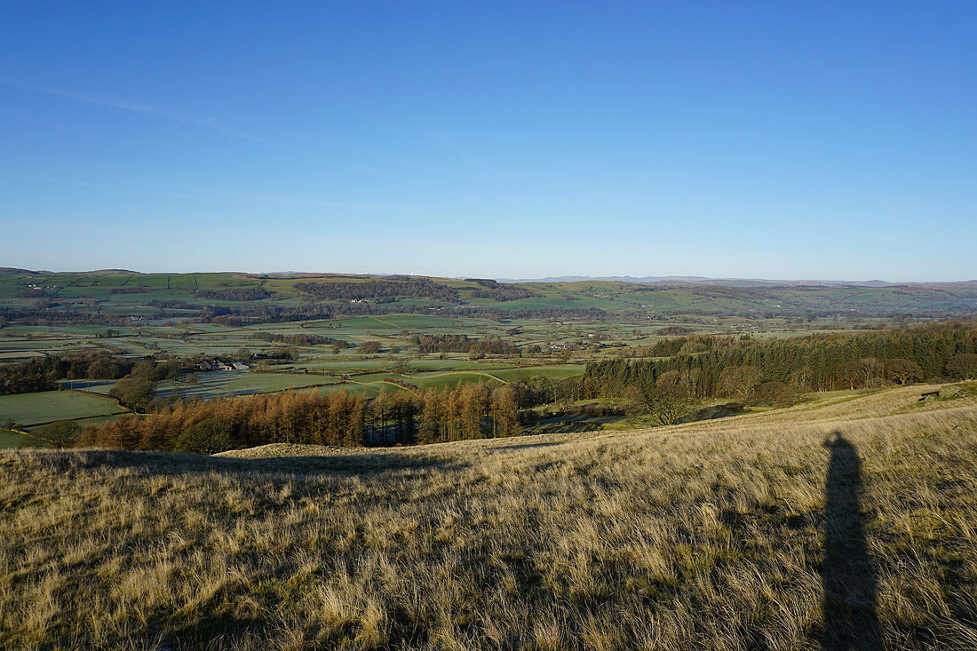
As I climb up to Eskholme Pike Lunesdale is gradually revealed
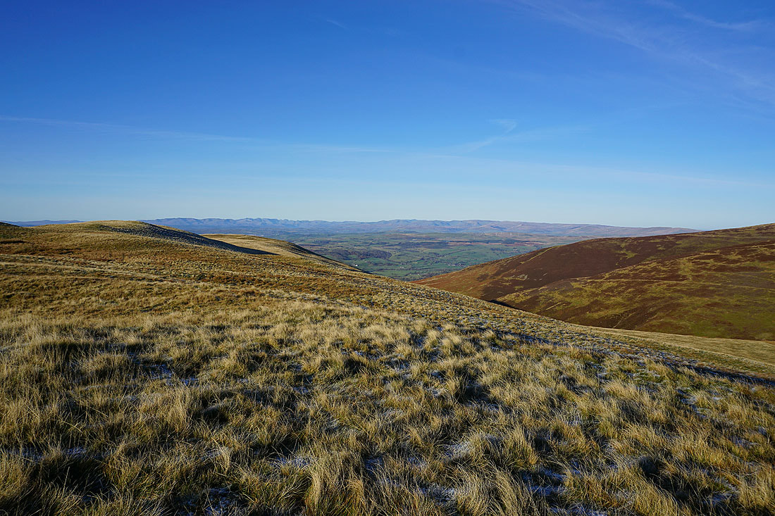
On Eskholme Pike and there's a fantastic view with a long line of Lake District fells in the distance and Lunesdale below
Looking down Lunesdale towards Kirkby Lonsdale with the village of Barbon below
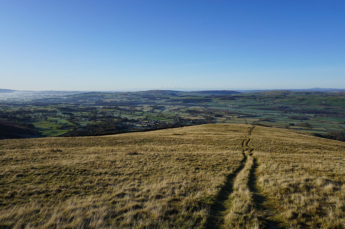
Barbon and Lunesdale..
..and looking across Lunesdale to the Lake District as I head uphill to Castle Knott
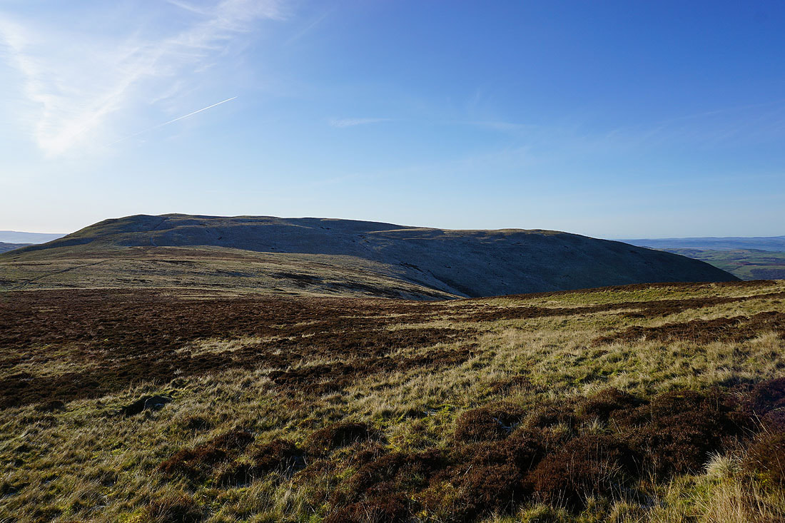
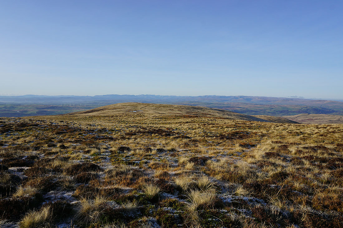
Castle Knott ahead from its lower top
On the summit of Castle Knott
Baugh Fell, Aye Gill Pike and Great Knoutberry Hill, with the ridge up to Calf Top on the left
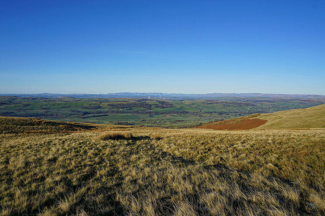
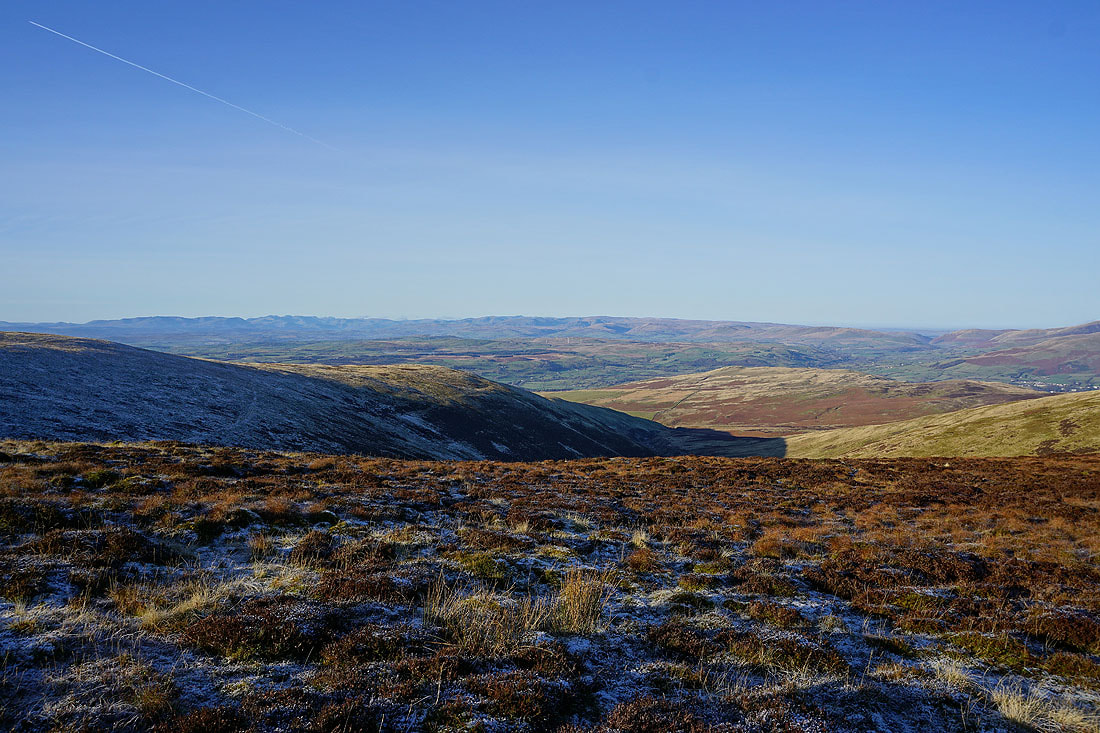
Looking southwest down Lunesdale with Barbon Low Fell on the left and the Forest of Bowland in the distance
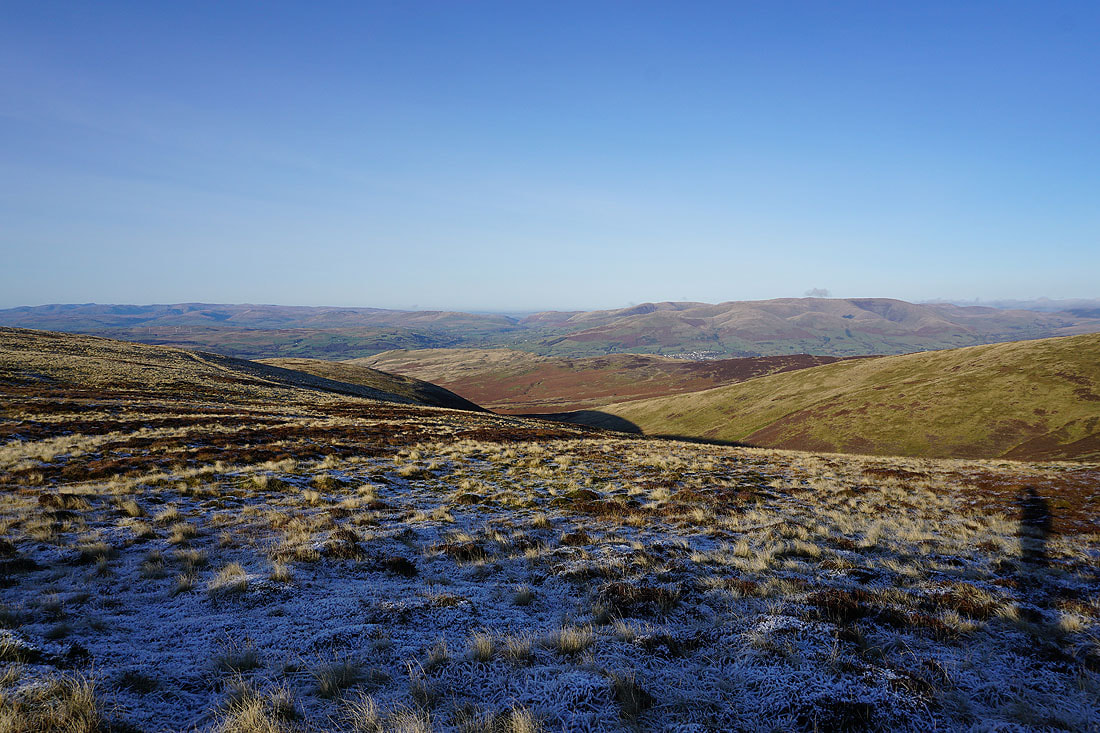
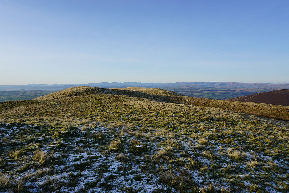
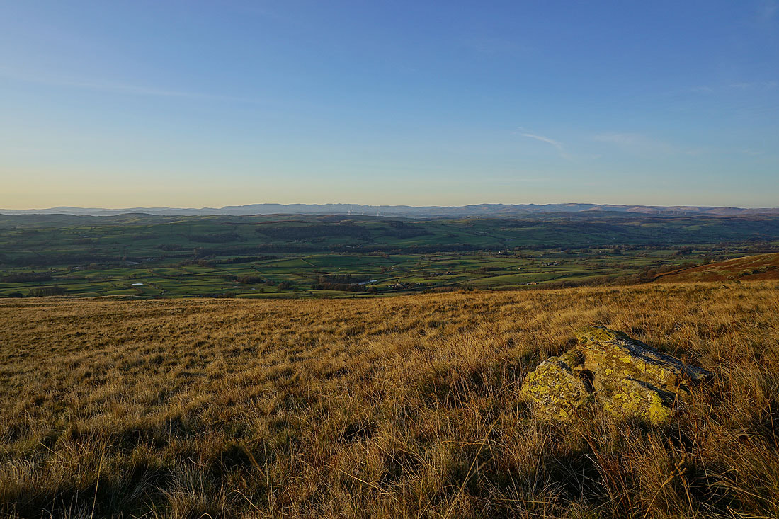
The Lake District fells in the distance beyond Castle Knott's broad summit ridge
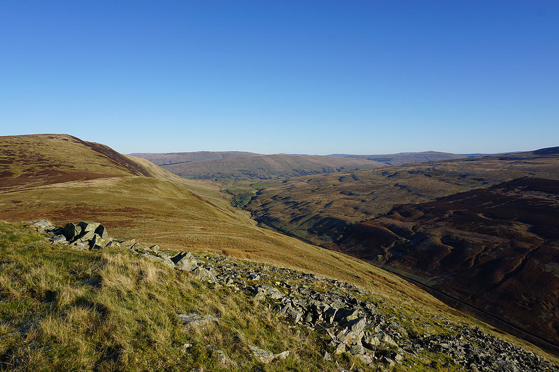
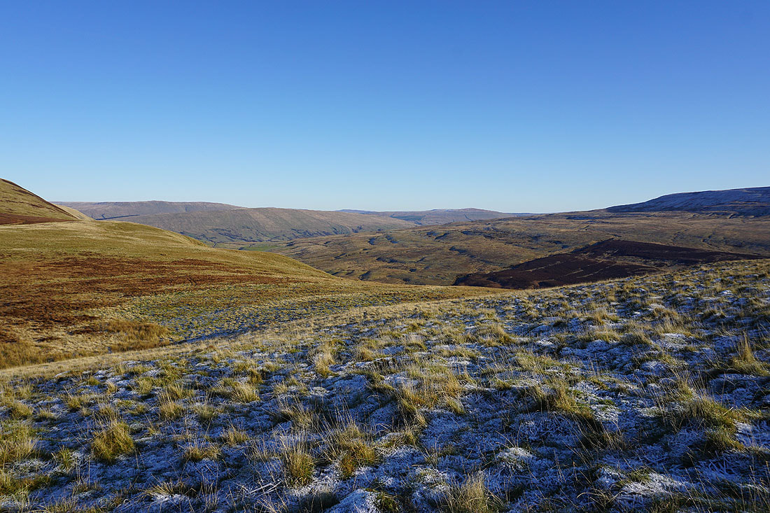
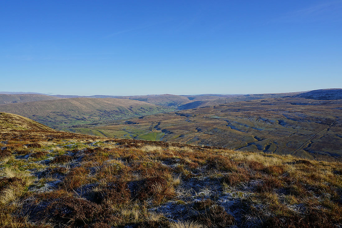
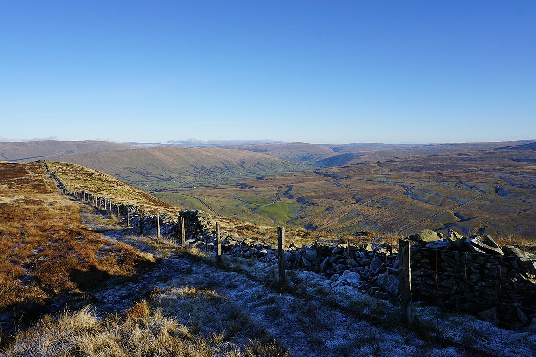
It's a long way down into Barbondale
Lake District fells in the distance..
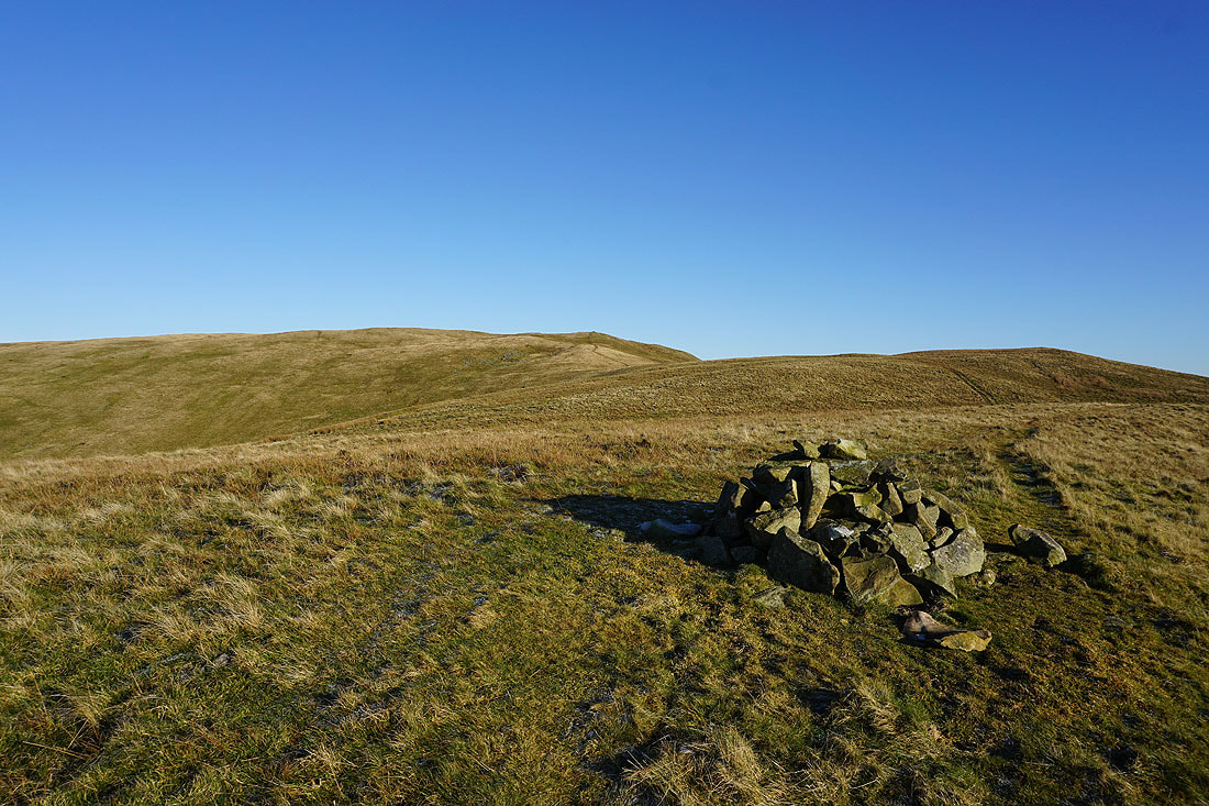
..and Baugh Fell, Aye Gill Pike and Great Knoutberry Hill..
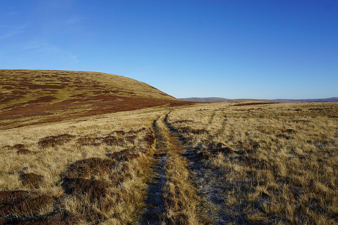
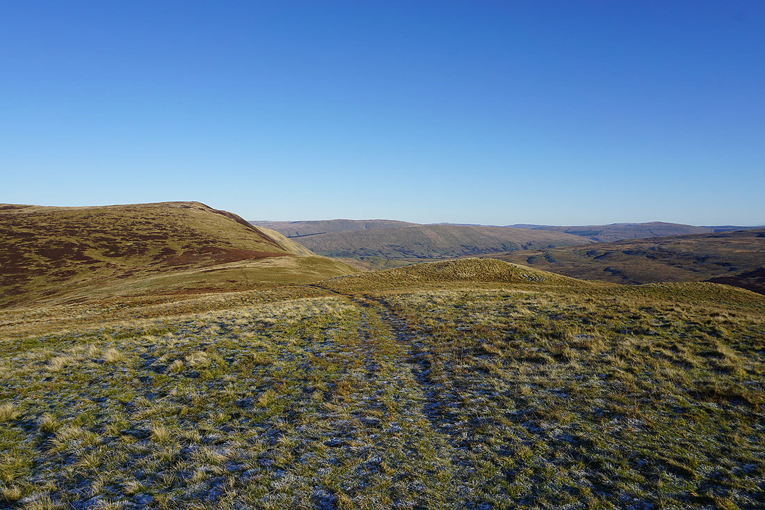
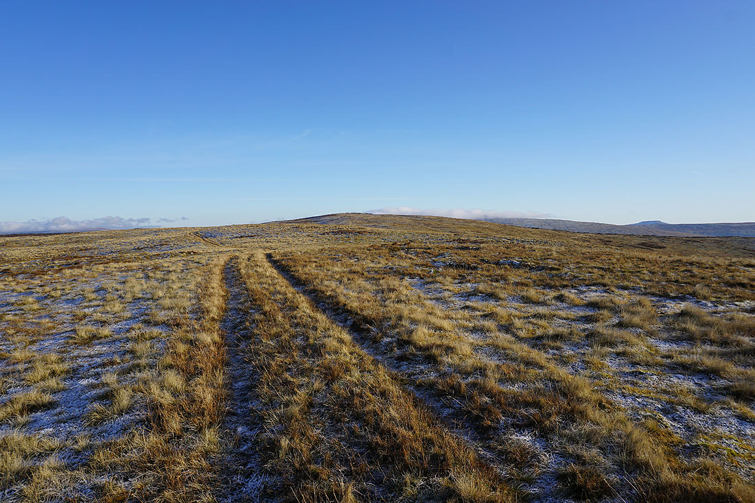
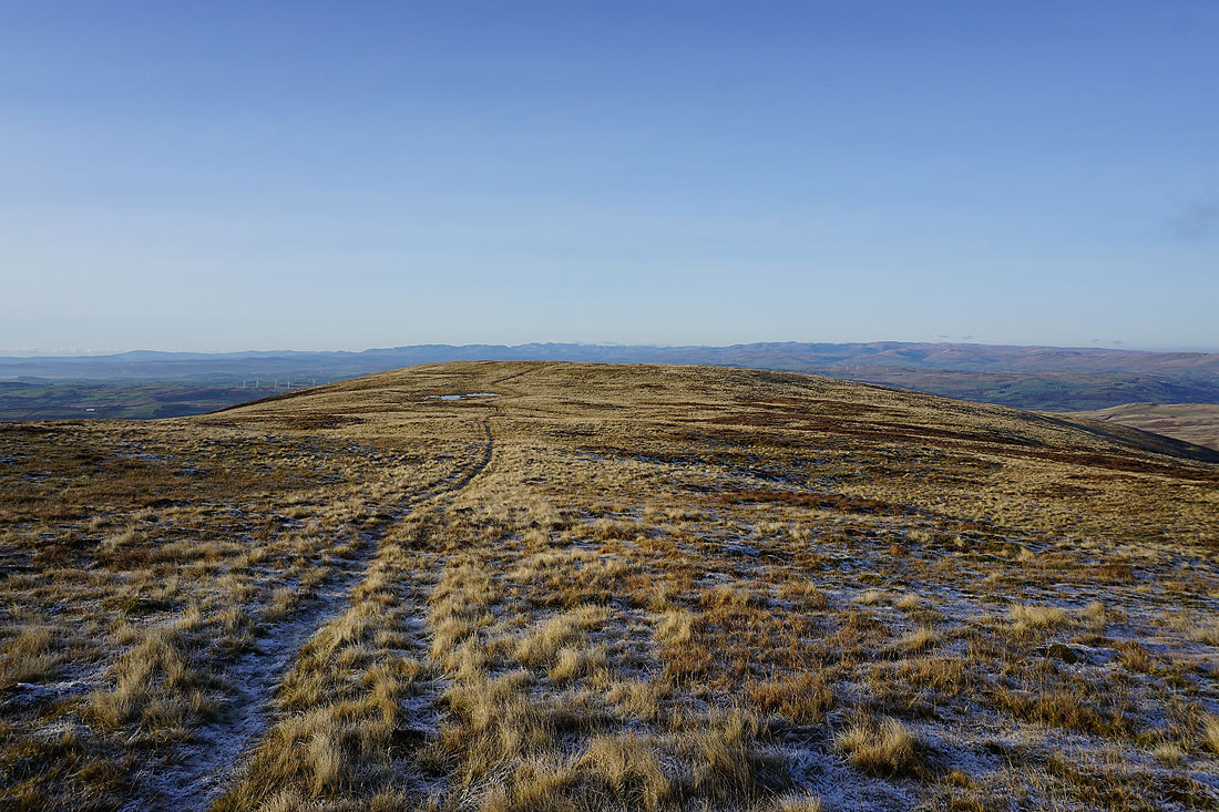
..as I head for Calf Top. I'm not going to be able to resist taking lots of photos on such a glorious day.
Looking back to Castle Knott
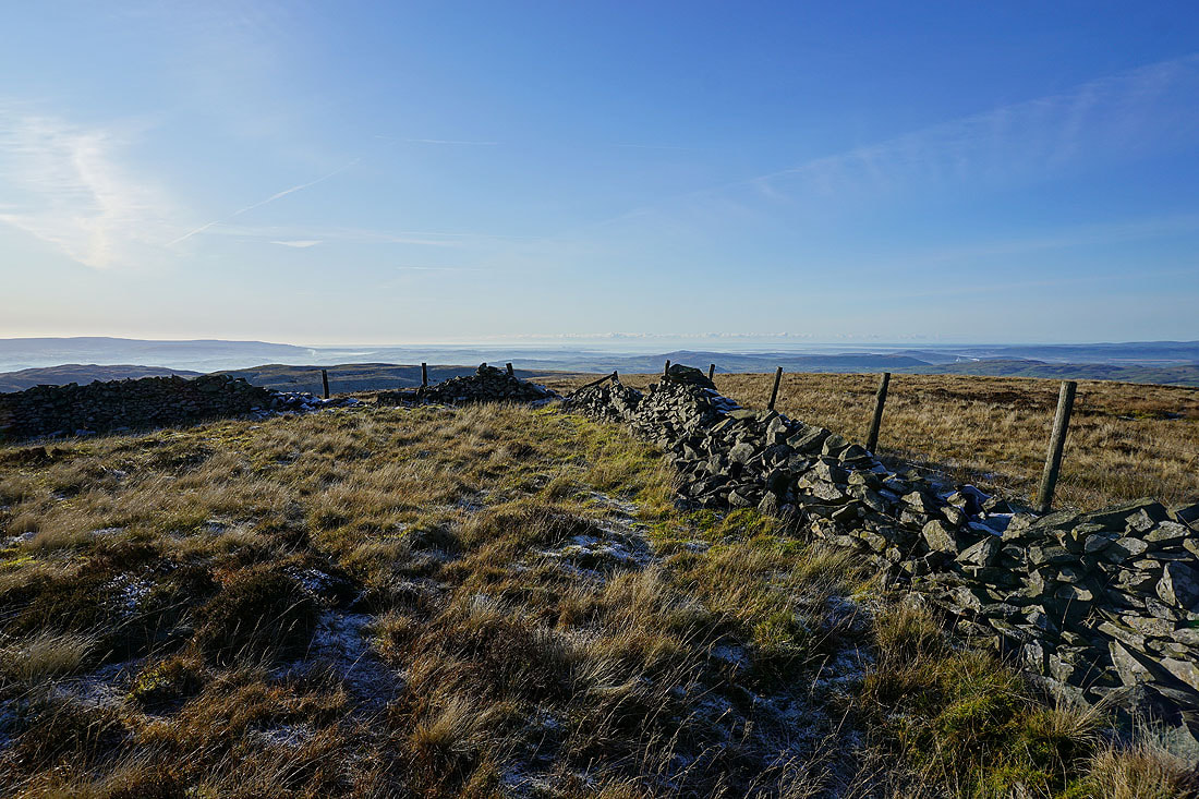
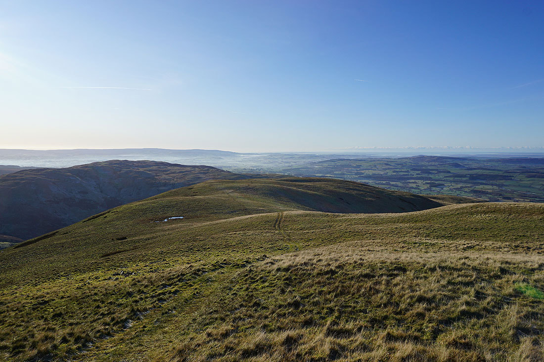
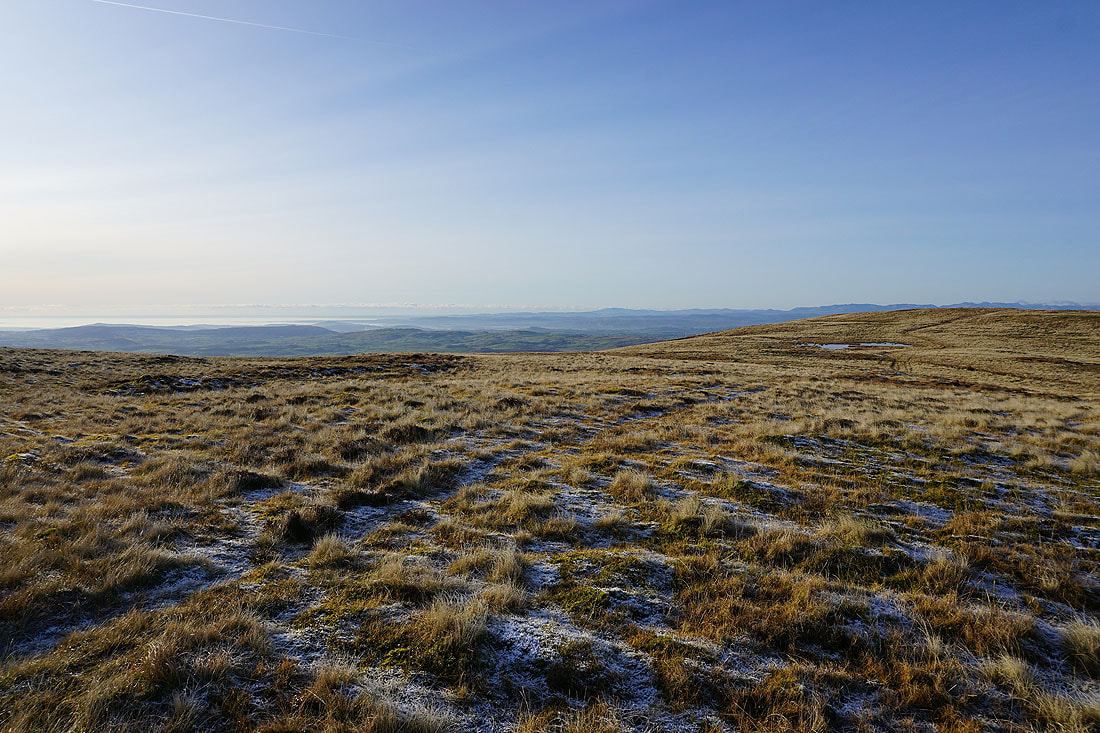
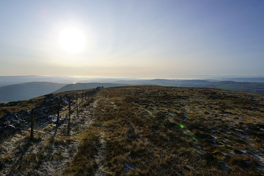
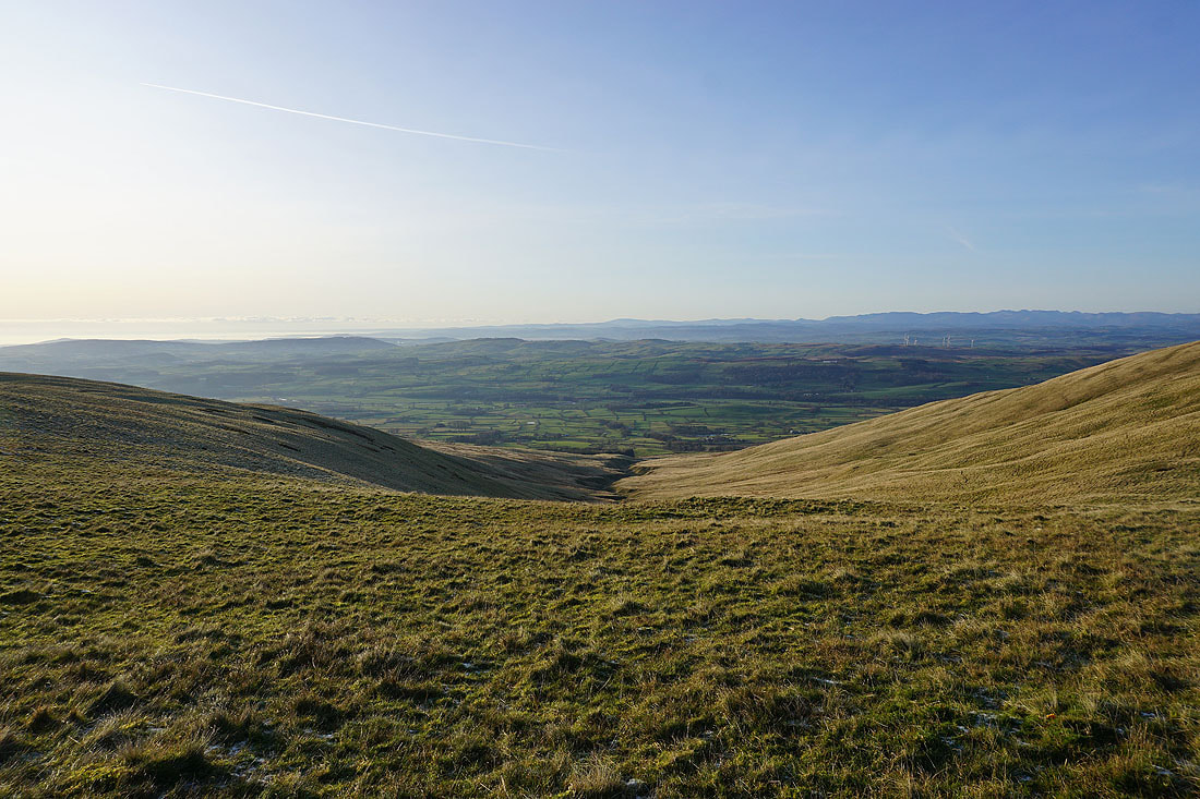
As I approach the summit of Calf Top a dry stone wall appears on the scene. It will add a bit of interest in the foreground, along with frost covered grass where the sun hasn't been shining on it. I now have a view out to Morecambe Bay.
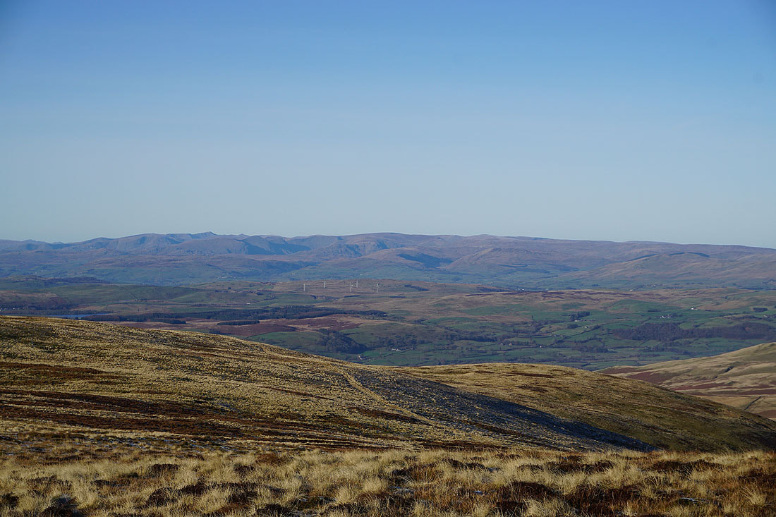
The southern half of the Lake District fells in the distance
Looking south along the summit ridge to Morecambe Bay
Aye Gill Pike, Dentdale and Great Knoutberry Hill
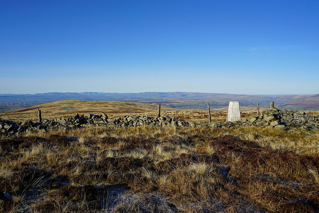
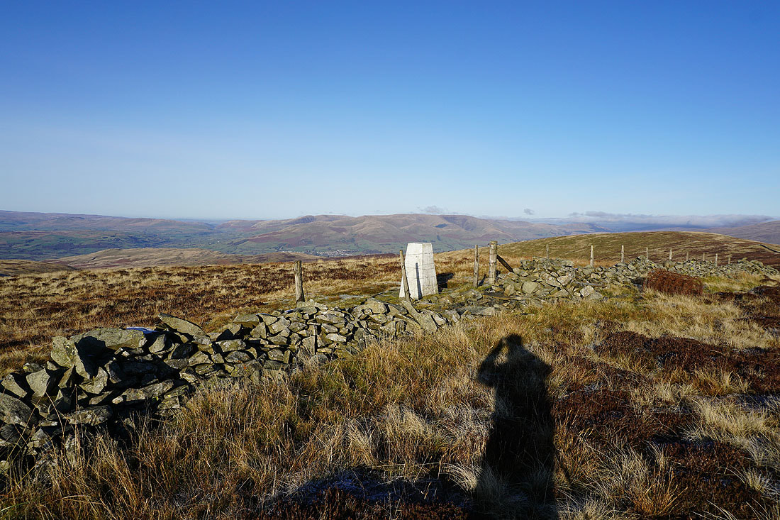
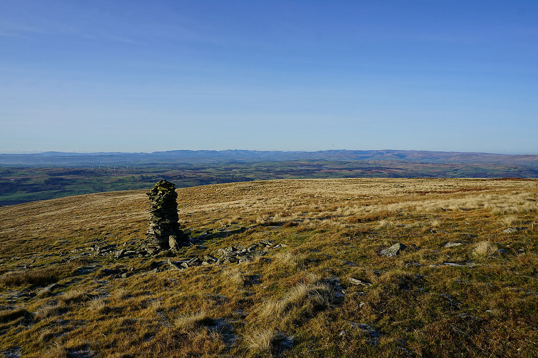
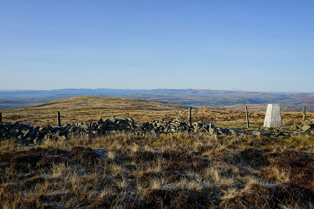
The Lake District fells from the trig point on Calf Top
Zooming in there's Helvellyn on the left, then the Ill Bell ridge running up to High Street, the fells around Longsleddale, and the Shap fells on the right
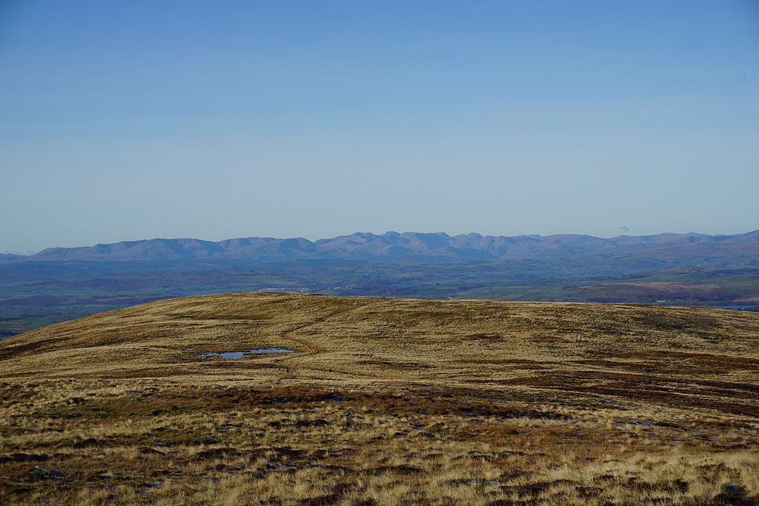
The Coniston fells on the left, Scafell and Scafell Pike, Great End, Great Gable and High Raise
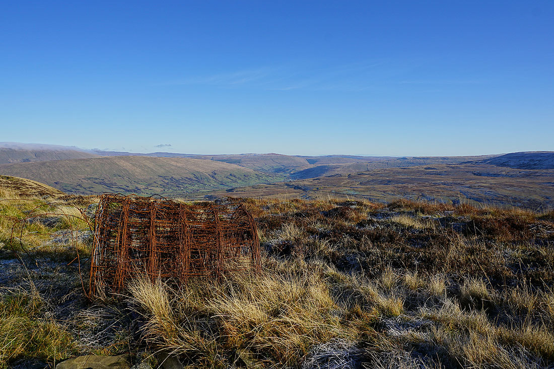
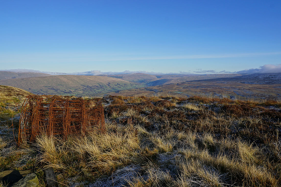
I've sat on the summit wall for my lunch, and this roll of rusty fencing wire makes an interesting foreground as I look up Dentdale to Great Knoutberry Hill
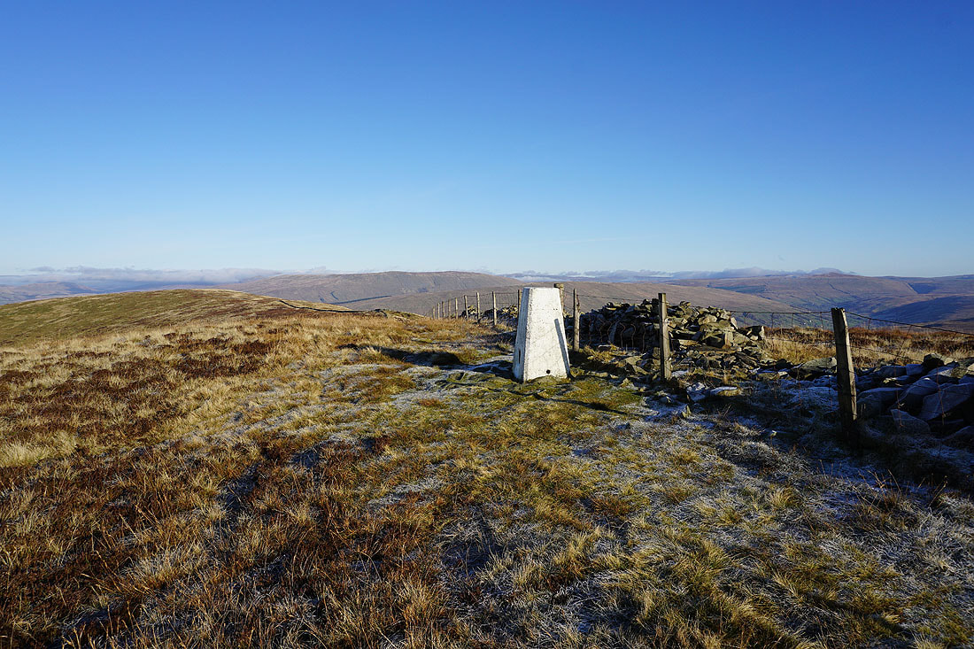
The Howgills behind the trig point
Baugh Fell and Aye Gill Pike
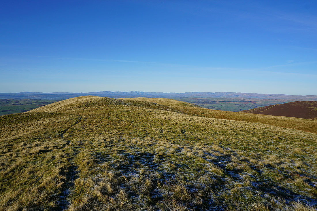
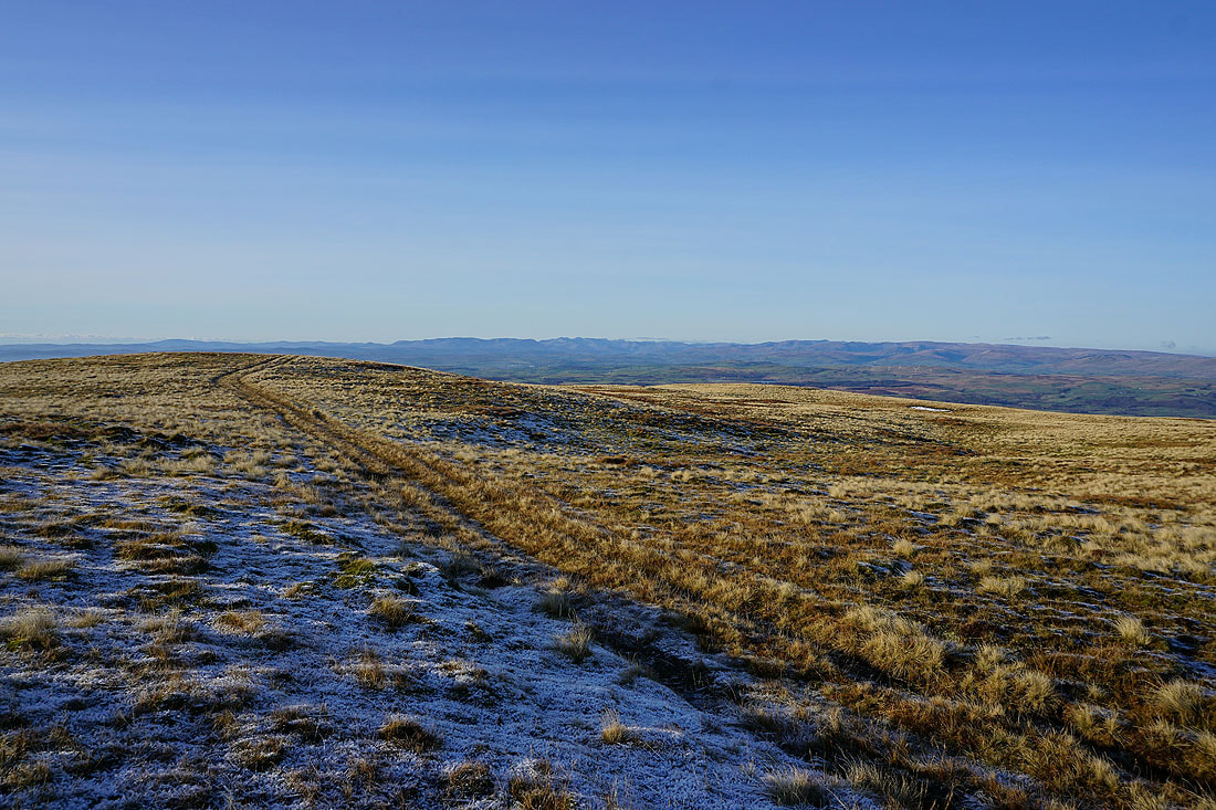
I'm walking north of the summit towards Barkin Top to see the changes it makes to the view. Aye Gill Pike, Dentdale and Great Knoutberry Hill.
Baugh Fell, Aye Gill Pike and Great Knoutberry Hill. There seems to be some low cloud making inroads from the north.
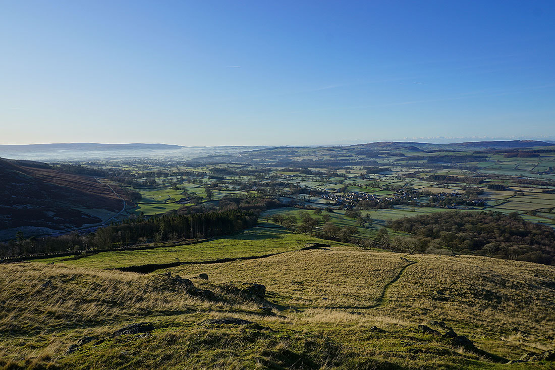
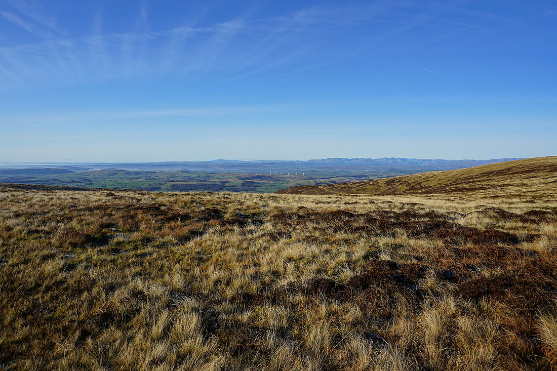
I particularly like this shot looking towards the Lake District, with the contrast between the cold, frost covered ground and the warmth of the sunlit slopes
The far eastern fells of the Lake District and the Howgills as I head for the western end of Calf Top's summit ridge
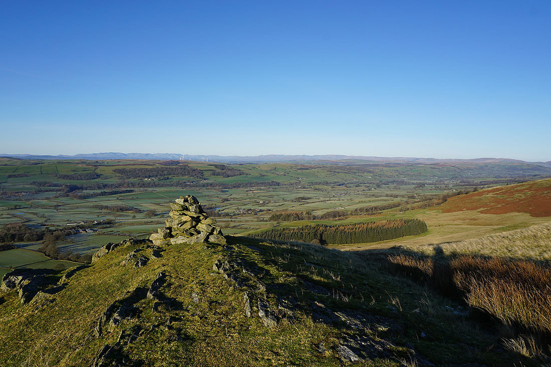
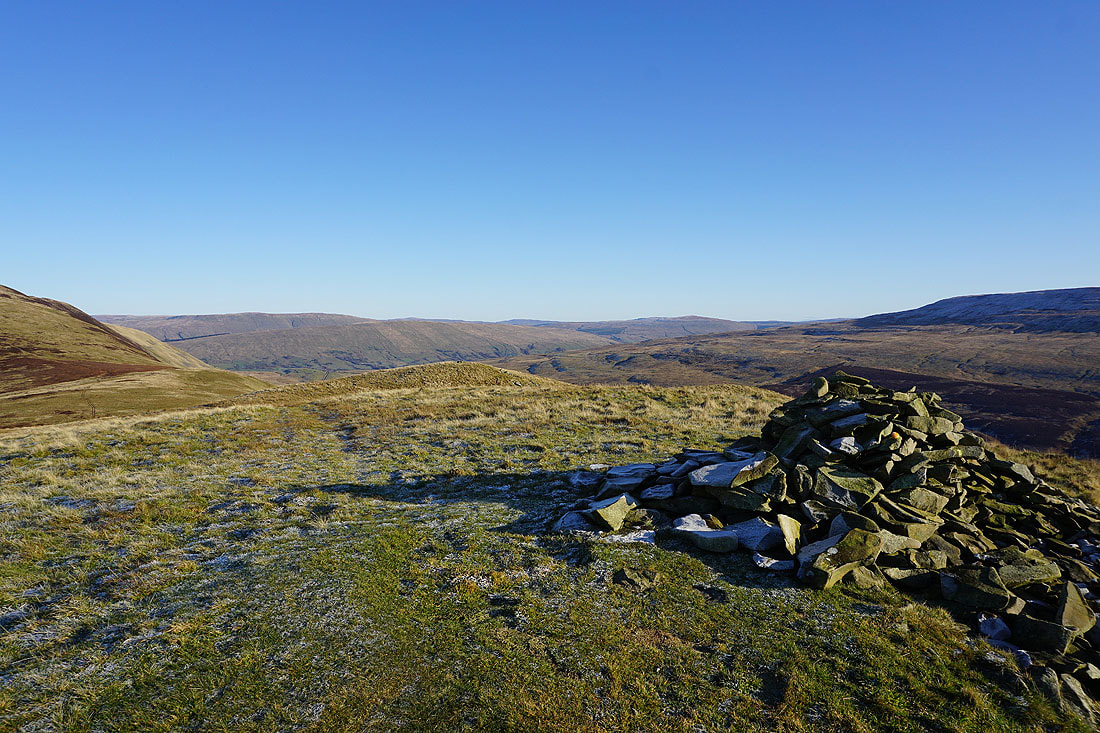
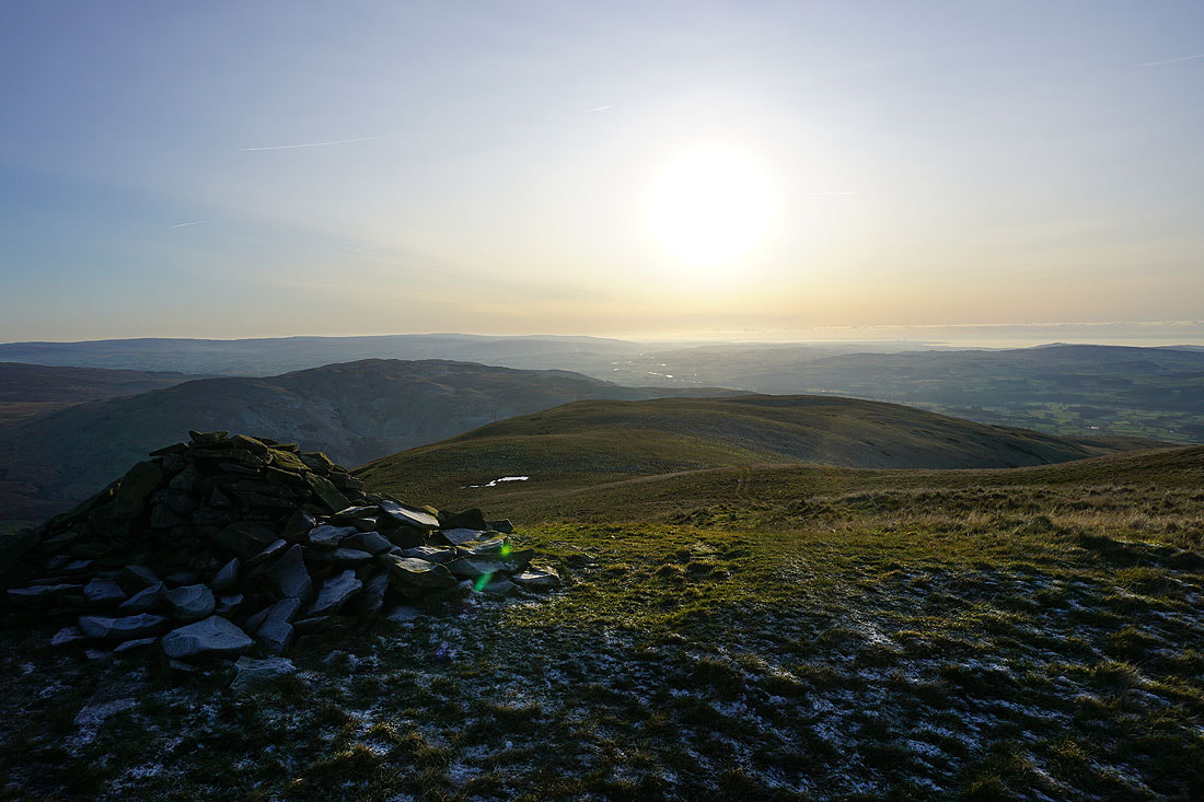
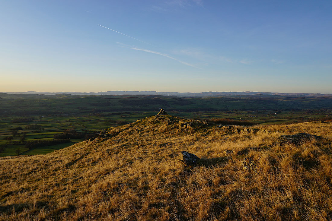
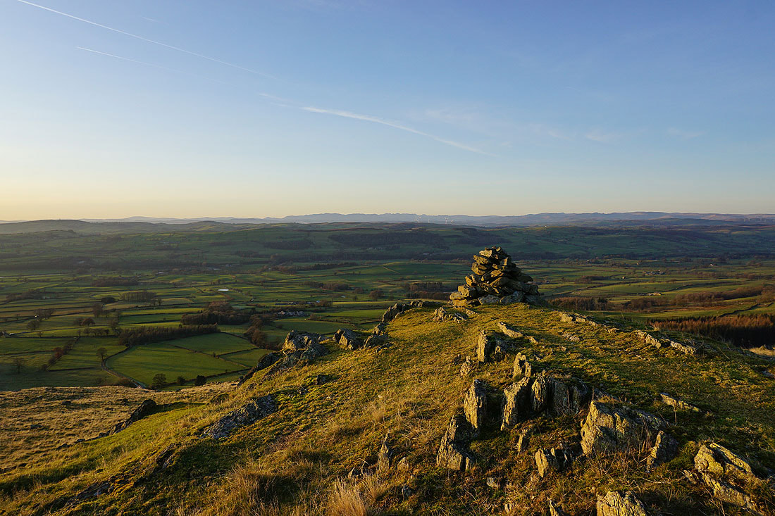
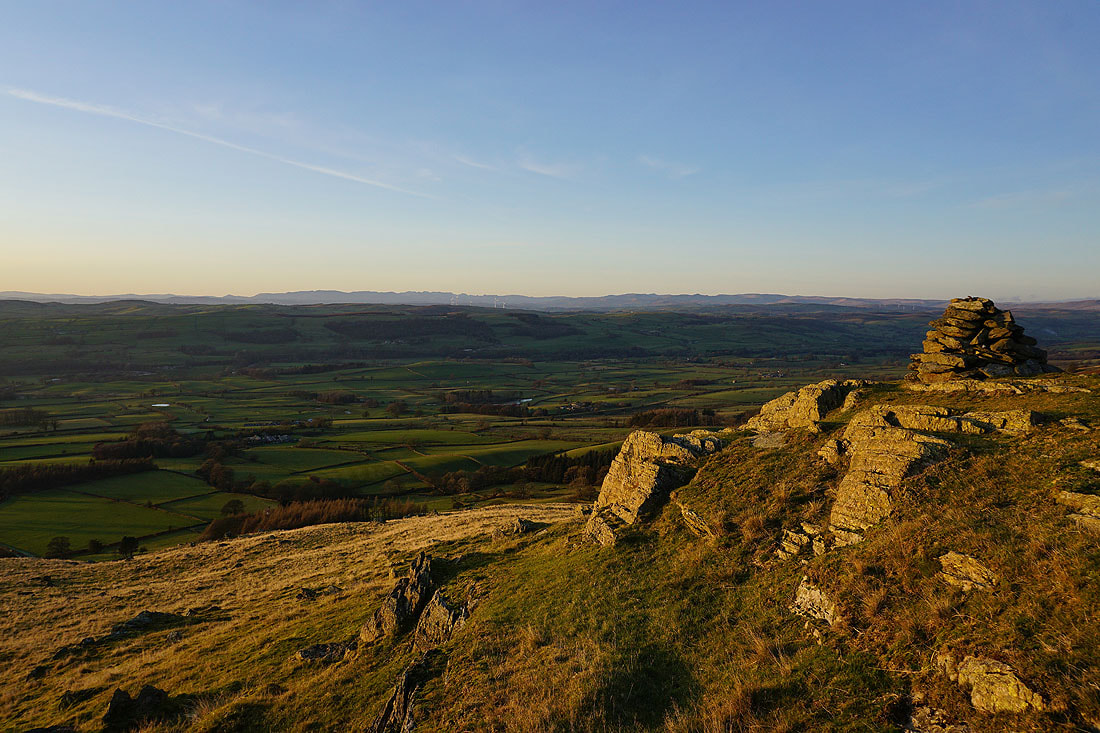
and this is the reason for me walking to the end of the ridge. I think the view of the Lake District from this cairn is pretty good.
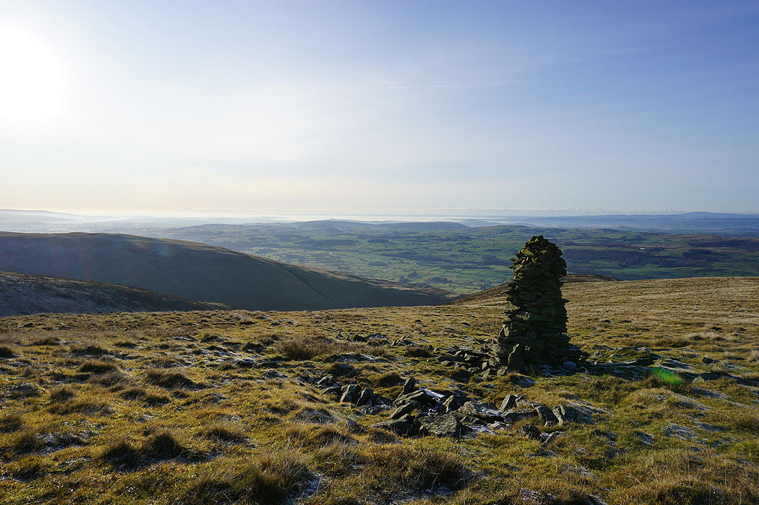
Lunesdale and Morecambe Bay
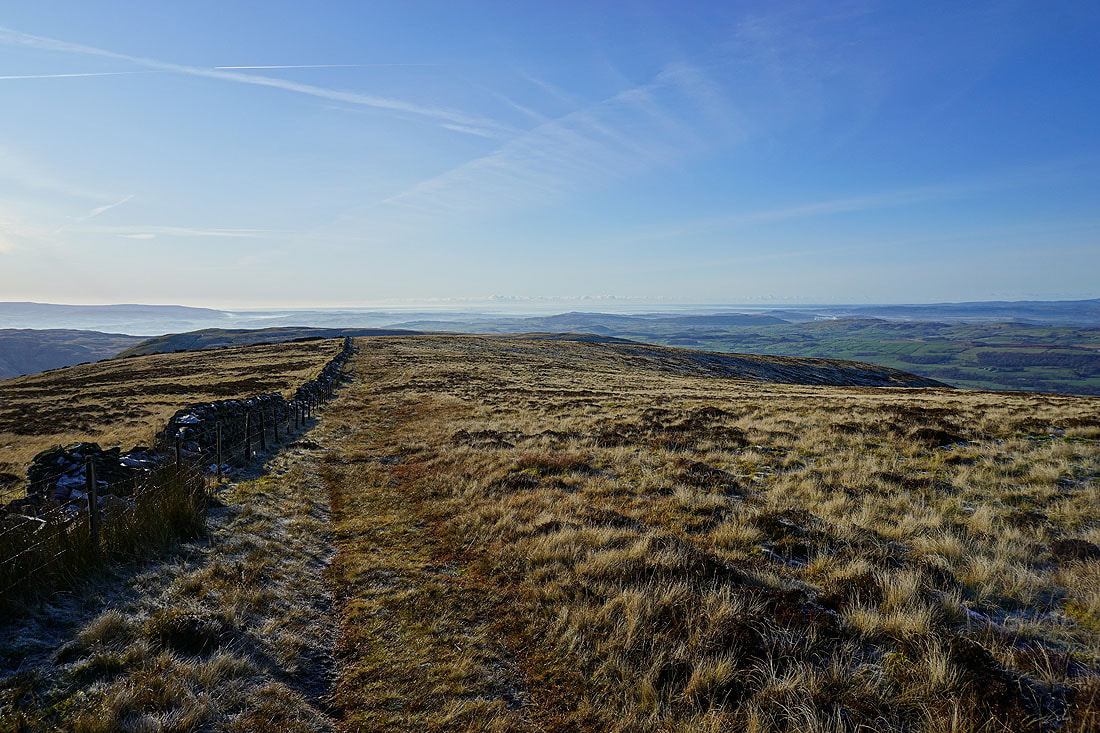
Heading back to the trig point and I can see low cloud on the neighbouring fell. Hopefully it stays away from here.
Looking back along the summit ridge to the Lake District
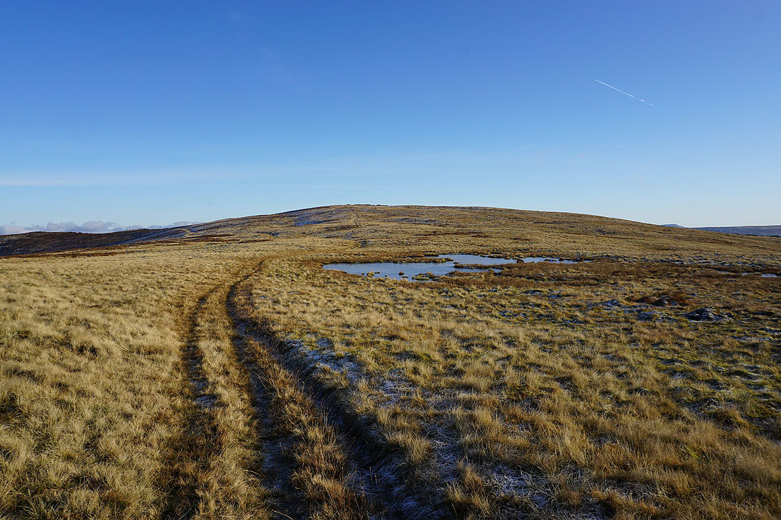
Nearing the trig point and this pool should provide a good photo opportunity
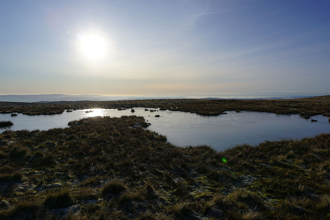
It does, with the sun reflecting in its frozen surface
Looking back along the summit ridge..
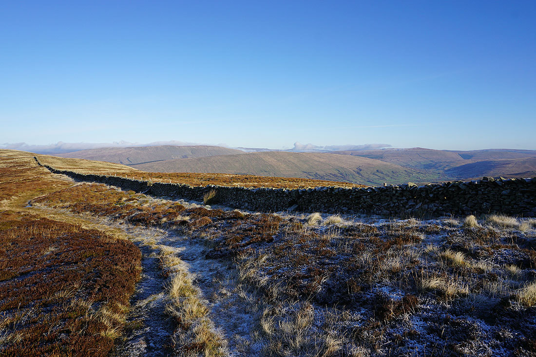
Back at the summit wall and there's low cloud covering some of the fells around the head of Dentdale
Still a great view of the Lake District though
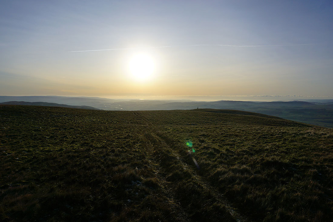
Dazzling sunshine looking out to Morecambe Bay
One more shot of the view towards the Lake District
Heading back to Castle Knott
Barbon Low Fell, the Forest of Bowland and Lunesdale from Castle Knott
Looking west along the summit ridge of Castle Knott to the Lake District
Lunesdale at the bottom of Ashdale Gill
There's a beautiful light developing as sunset gets closer
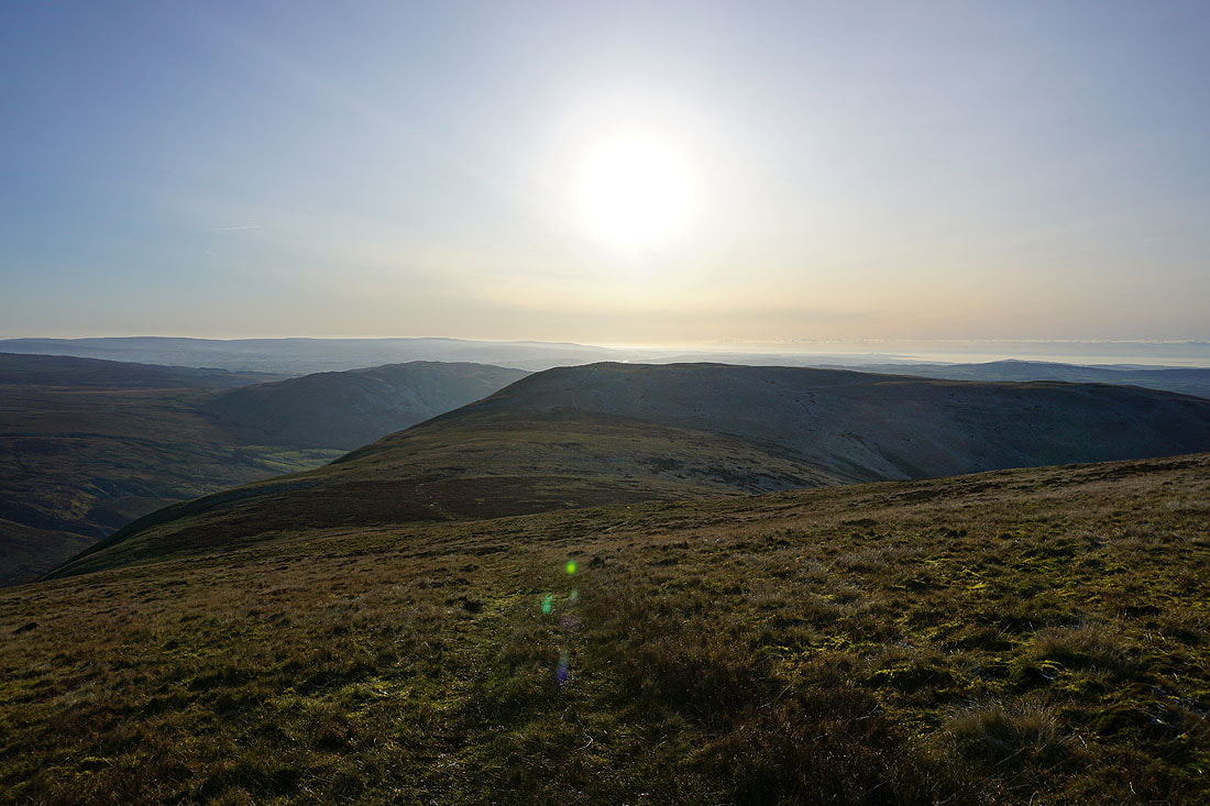
Making my descent to Eskholme Pike
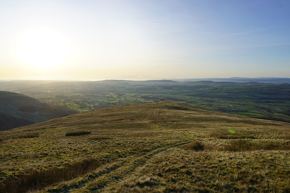
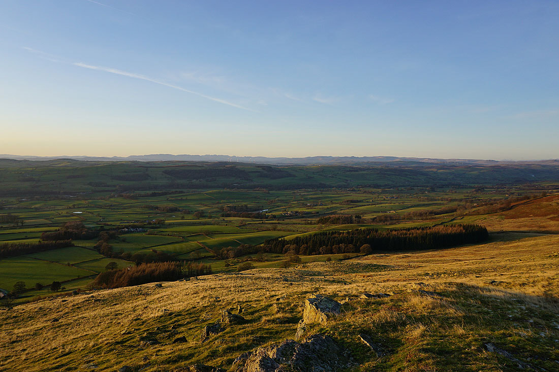
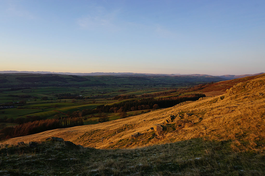
Views across Lunesdale in the lengthening shadows
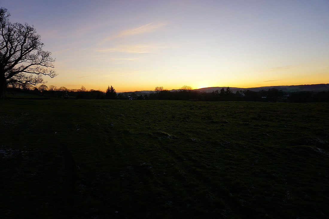
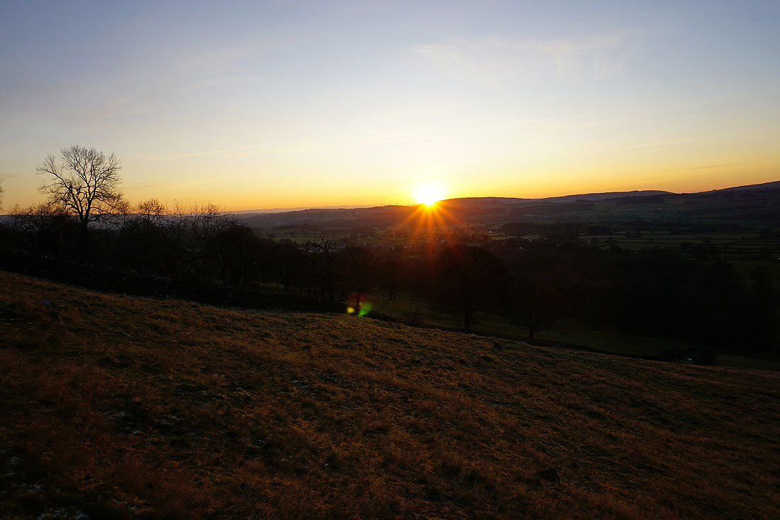
The sun isn't far away from setting as I arrive at Eskholme Pike. It's giving the hillsides a lovely golden glow....
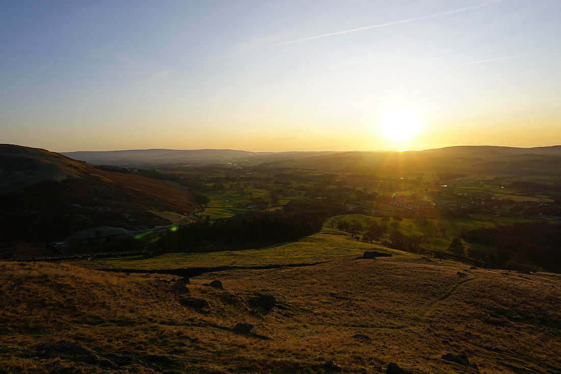
Lunesdale and Barbon below
Looking up Lunesdale as I head down to Devil's Crag
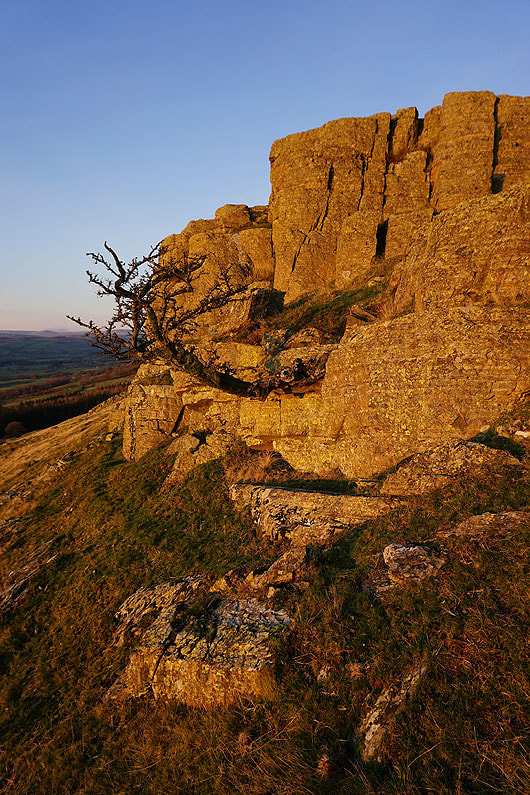
The hawthorn on Devil's Crag is still hanging on
The sun sets on my way back to Barbon..