1st December 2023 - Great Whernside
Walk Details
Distance walked: 9.4 miles
Total ascent: 2490 ft
OS map used: OL30 - Yorkshire Dales, Northern & Central areas
Time taken: 6.5 hrs
Route description: Kettlewell-Moor End-Starbotton-Starbotton Cam Road-Starbotton Road-Hunters Sleets-Blackfell Top-Great Whernside-Hag Dyke-Kettlewell
It's my Friday off work, and after an aborted attempt to do a walk up Great Whernside two weeks ago I'm back in Kettlewell to have another go. Given the forecast I stand a much better chance of reaching a cloud free summit and getting a view, especially when I arrive in Kettlewell and the weather looks like it's supposed to. The route that I went for was one that I've done several times, except for a different way of getting from Kettlewell to Starbotton, which was via a bridleway that runs across the hillside on the western side of the dale. It was a good alternative, one that I'll use again. I arrived in Kettlewell with a decent amount of blue skies and sunshine, although the tops of the fells did have a cap of cloud on them, which was supposed to clear. It did, although into the afternoon to do so, a good job that I left getting to the top of Great Whernside until then. The light cover of snow on the hills and the lower slopes not facing the sun, plus the winter sunshine and excellent visibility made for a great day's walk.
From the car park in Kettlewell I set off by crossing the bridge over the River Wharfe and taking the bridleway up and across the hillside above to Moor End. Past Moor End I continued to follow the bridleway across the hillside until I met the one that crosses the moor from Arncliffe to Starbooton. I took this and followed it downhill, across the bridge over the River Wharfe and into Starbotton. I then crossed the main road up the valley and walked through the village to reach the track and bridleway of Starbotton Cam Road. I followed this uphill and then across the hillside to the bridleway of Starbotton Road that took me to Hunters Sleets and the Kettlewell to Coverdale road. After crossing the road I took the path up the slopes of Great Whernside to Black Dike End, Blackfell Top and finally the trig point and summit. My route back to Kettlewell took me downhill past the Hag Dyke scout hostel and along the path above Dowber Gill Beck.
Route map
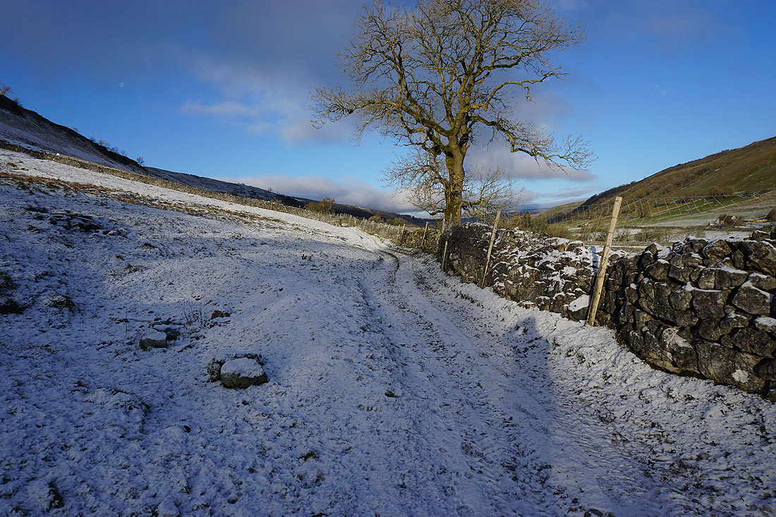
Leaving Kettlewell on the bridleway to Moor End
Looking over the wall to my right to see Kettlewell below
and over a gate for a view up Wharfedale
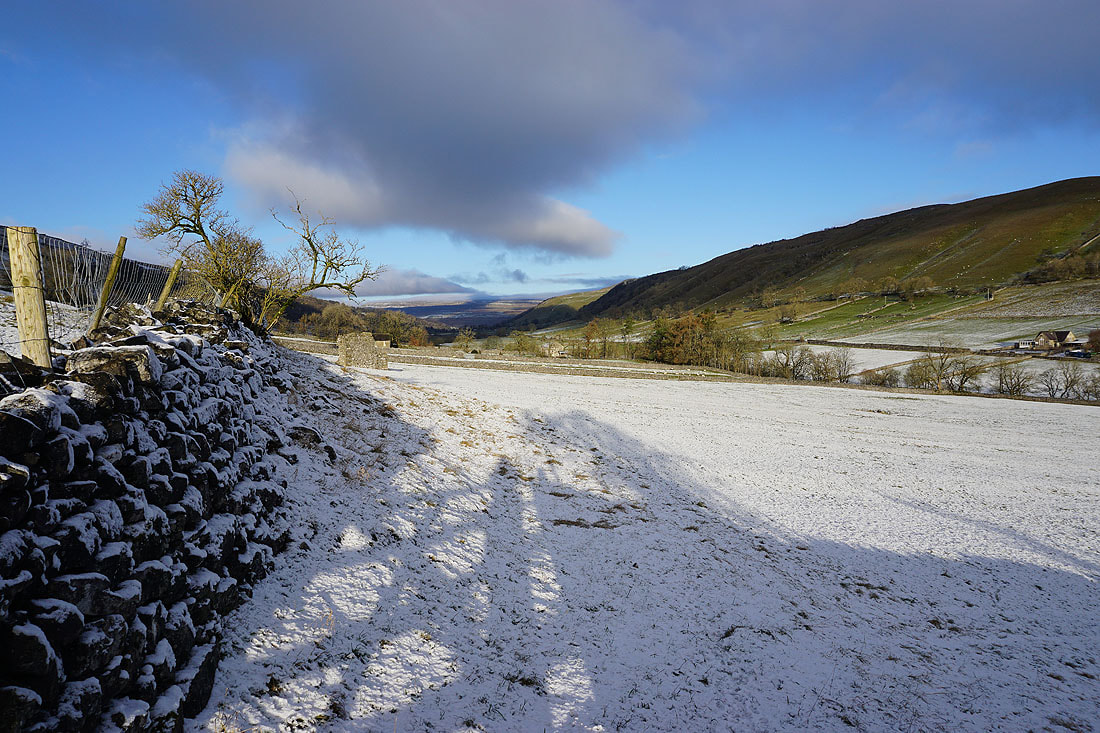
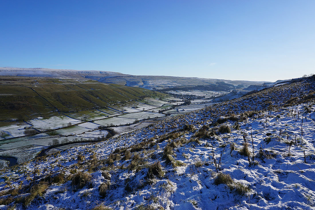
Following the bridleway up the hillside to Moor End, with views back to Kettlewell and up Wharfedale towards Buckden......
Looking across Wharfedale to Starbotton and Buckden Pike
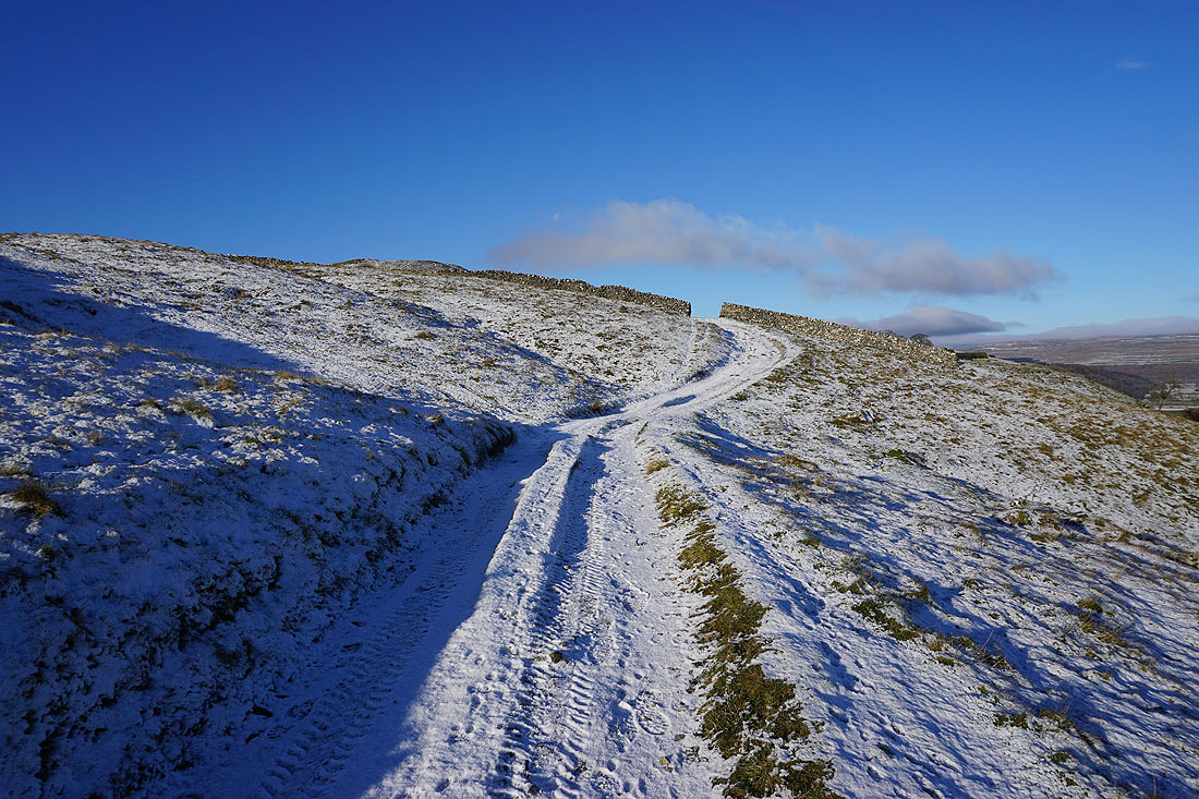
Approaching the top of the bridleway
A last look back down to Kettlewell
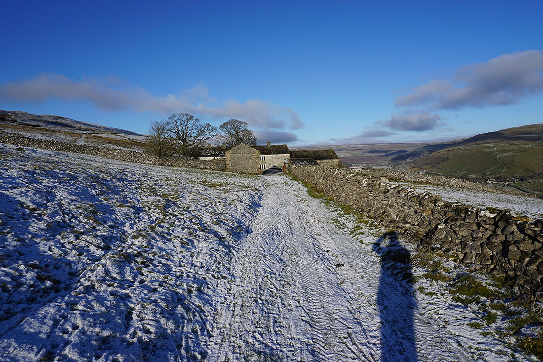
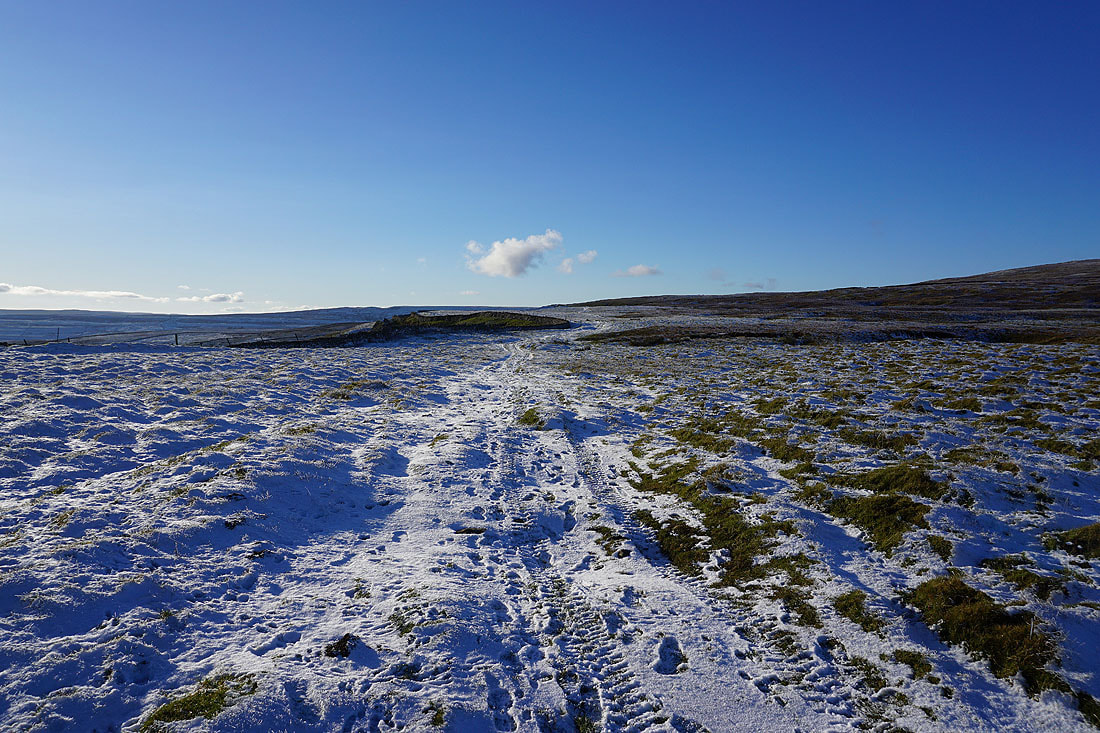
Approaching Moor End. The bridleway goes through the gate and then to the left of the main building.
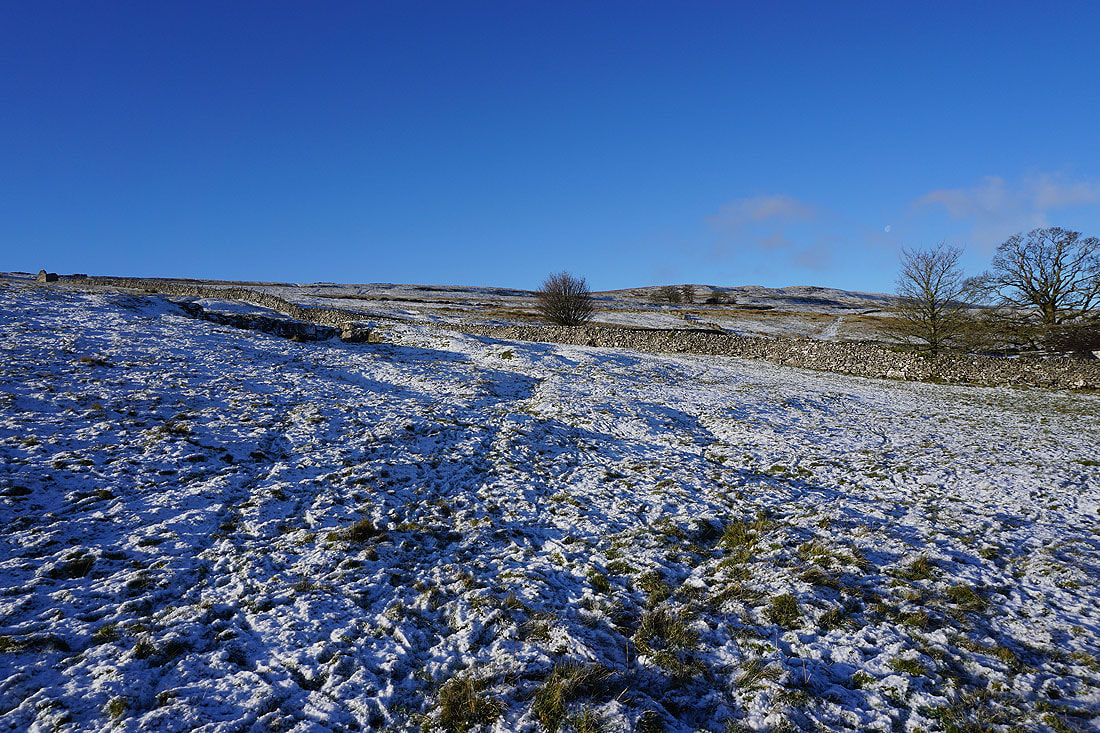
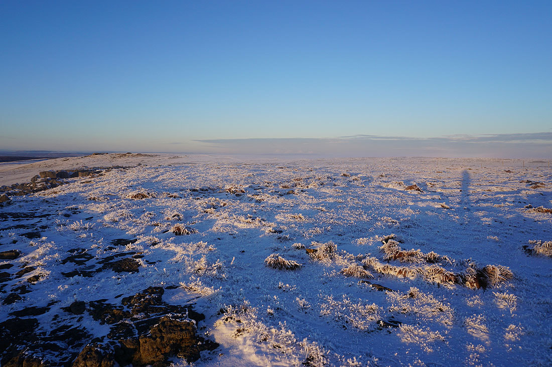
Snow covered hillside beneath blue skies
On the other side of Moor End and the bridleway continues across the hillside..
Looking back to Moor End
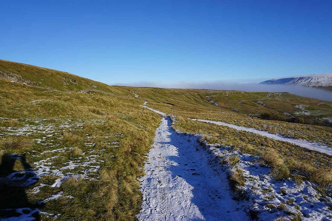
Following the bridleway downhill and at the gate in the wall ahead it will join the bridleway that's crossed the moor from Arncliffe
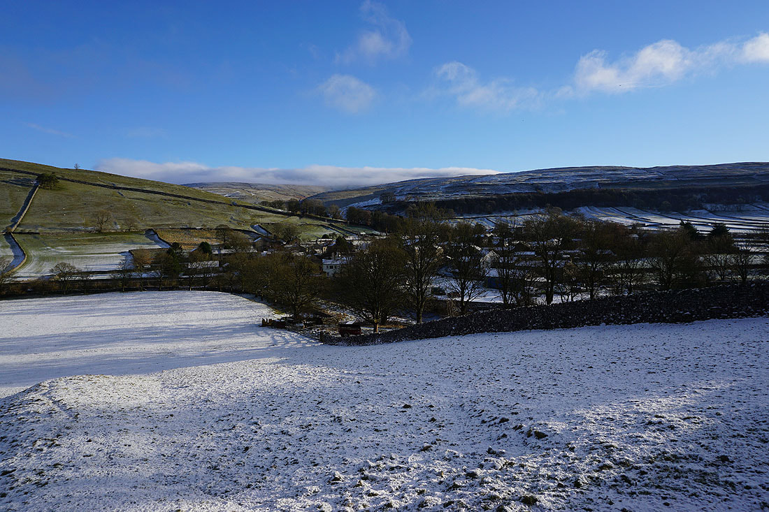
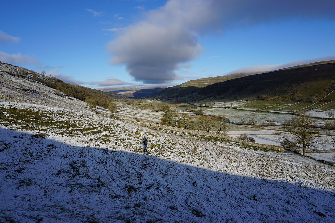
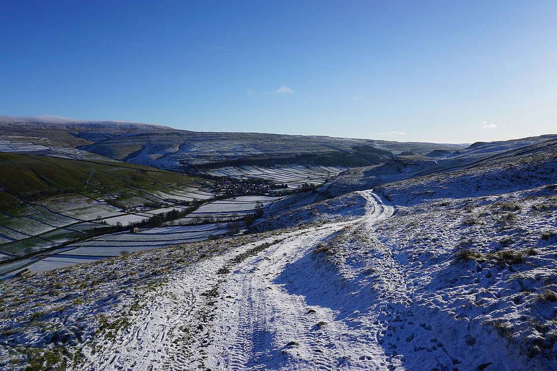
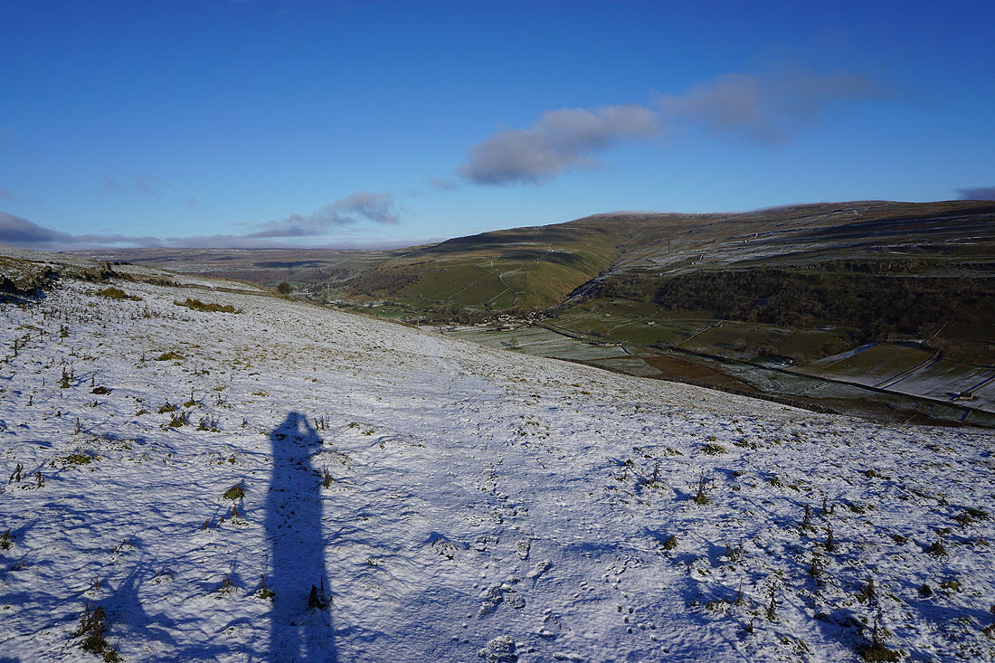
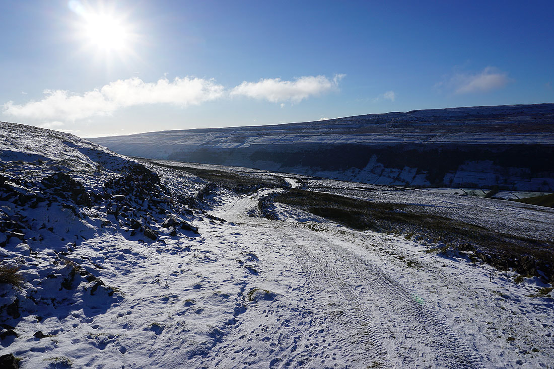
A great view down Wharfedale to Kettlewell
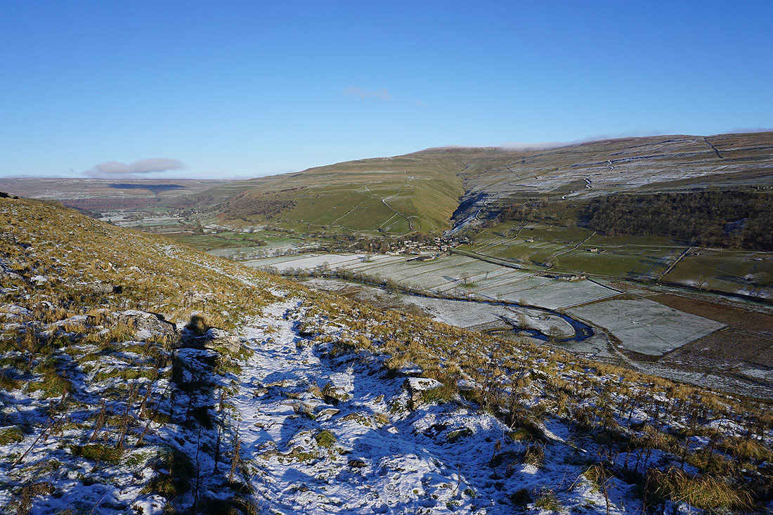
Following the bridleway down to Starbotton..
A contrast from one side of the dale to the other, as the southwest facing slopes are almost free of snow
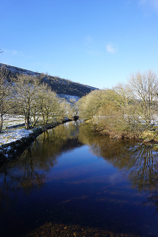
Crossing the River Wharfe..
..to head for Starbotton
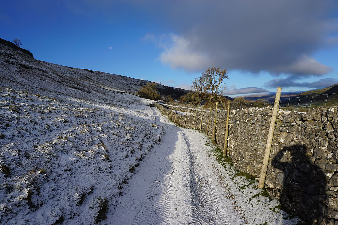
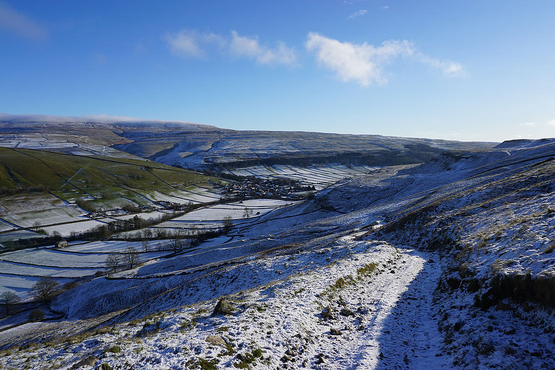
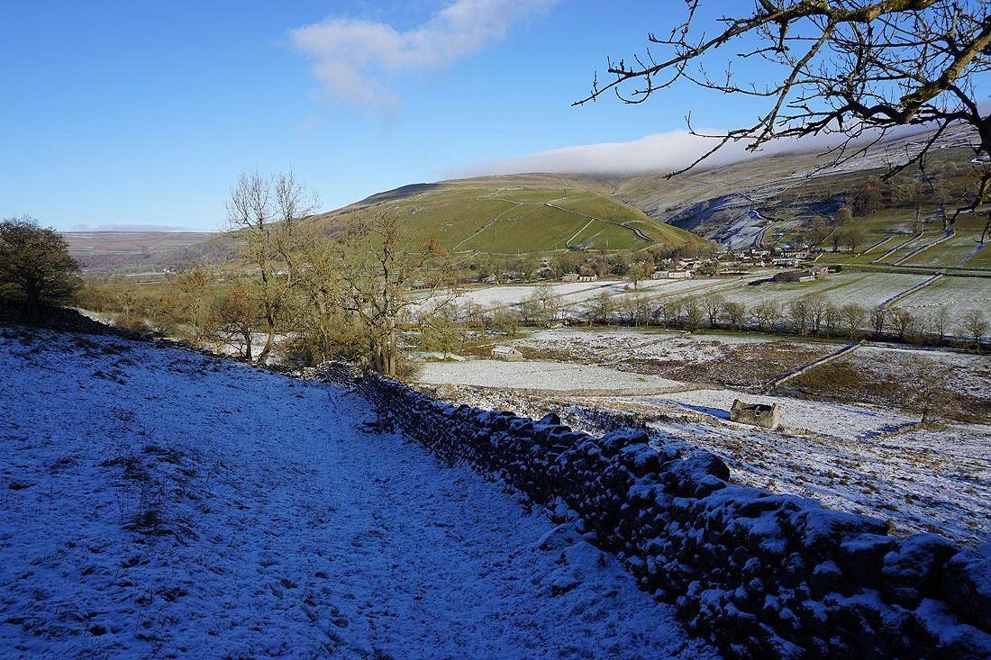
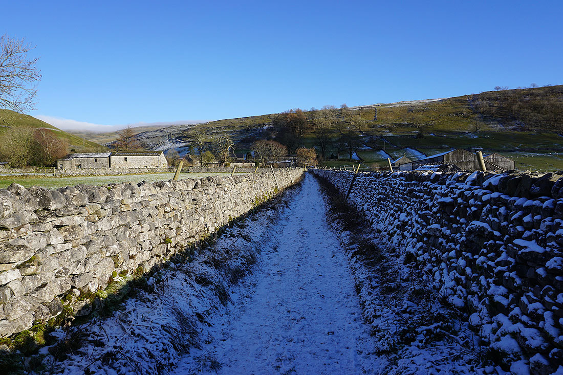
Looking back down on the roofs of Starbotton as I take the bridleway of Starbotton Cam Road
Heading uphill and I can't help but see the low cloud that's flowing across the top of the moor
Looking back to blue skies and sunshine over the moors on the other side of the dale
I get a great view up Wharfedale from the bridleway of Starbotton Road
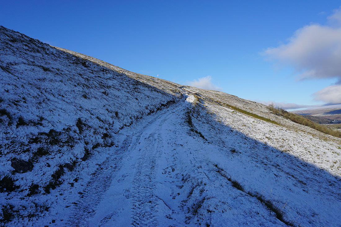
Mistiness in the air as I follow Starbotton Road uphill
Patches of mist drift across the moorland of Cam Pasture. I was sat next to the bridleway having my lunch when I took this photo.
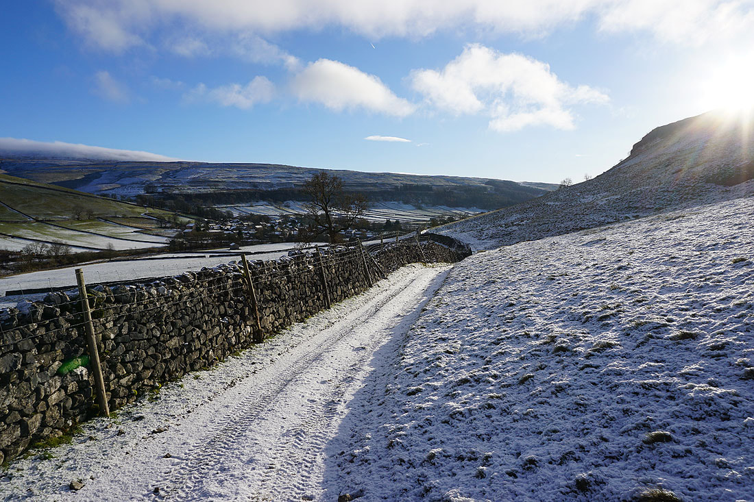
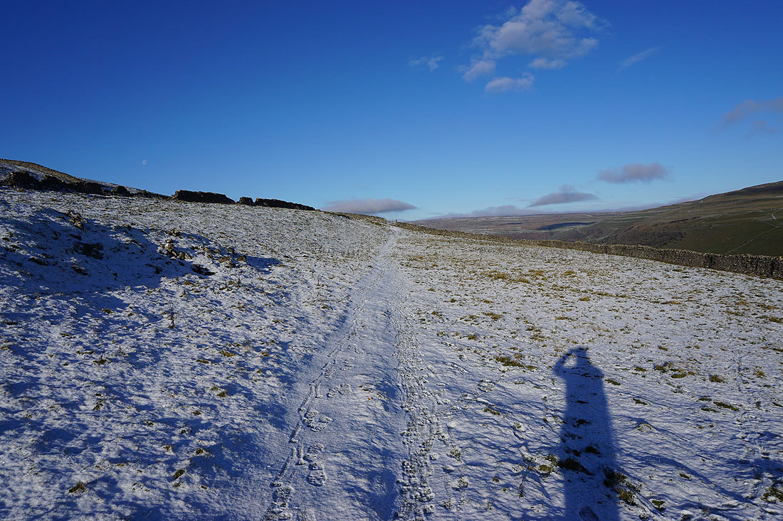
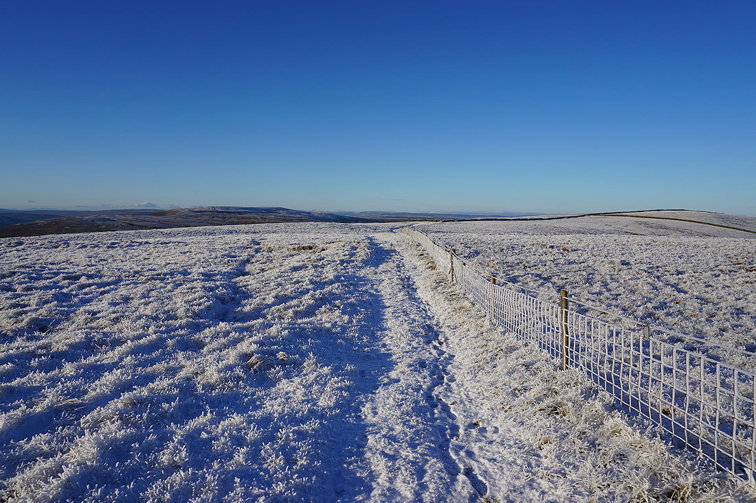
Starbotton Road meets the bridleway of Top Mere Road that has come up from Kettlewell
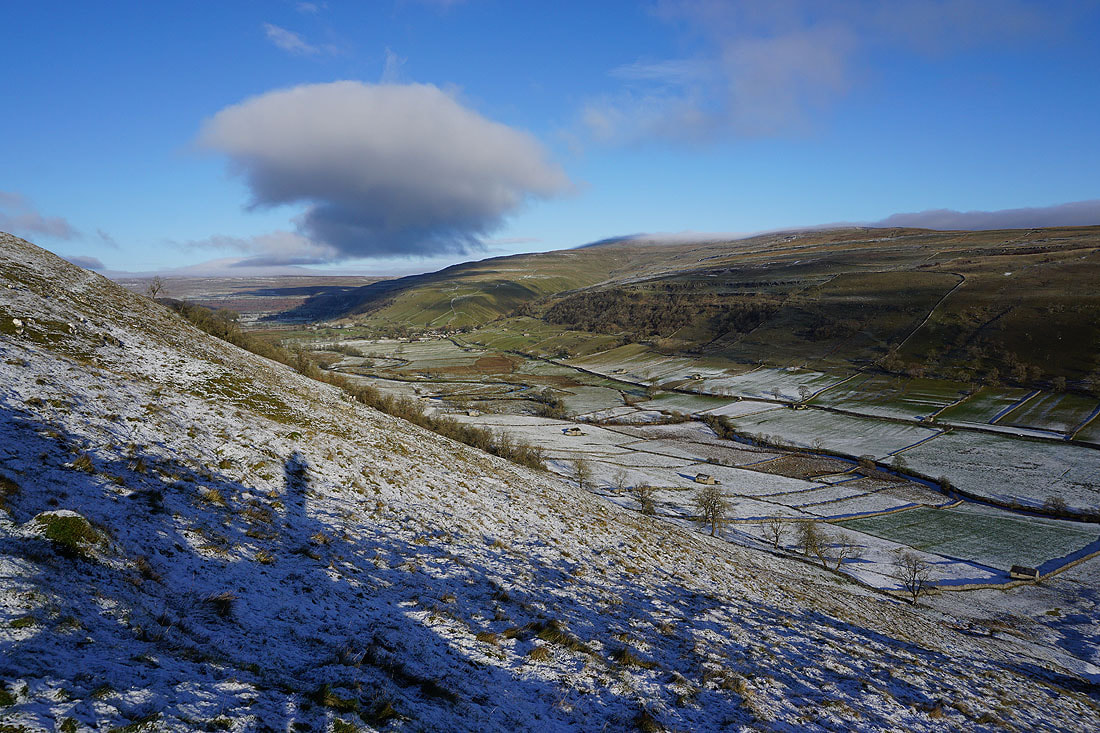
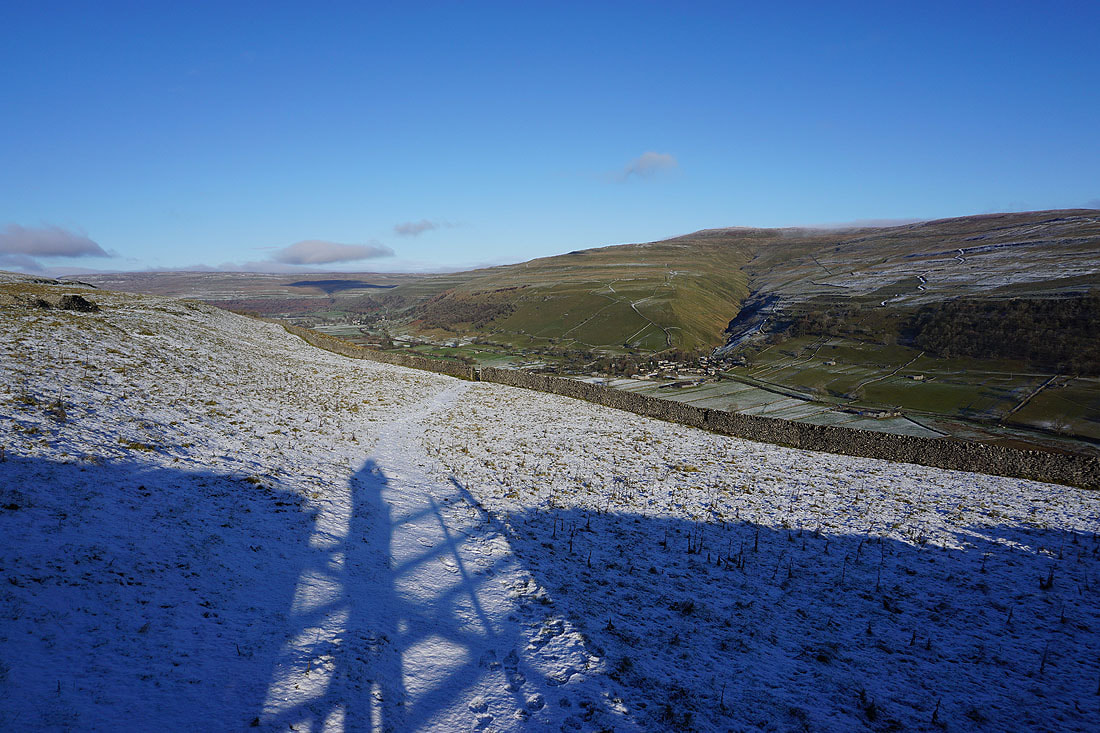
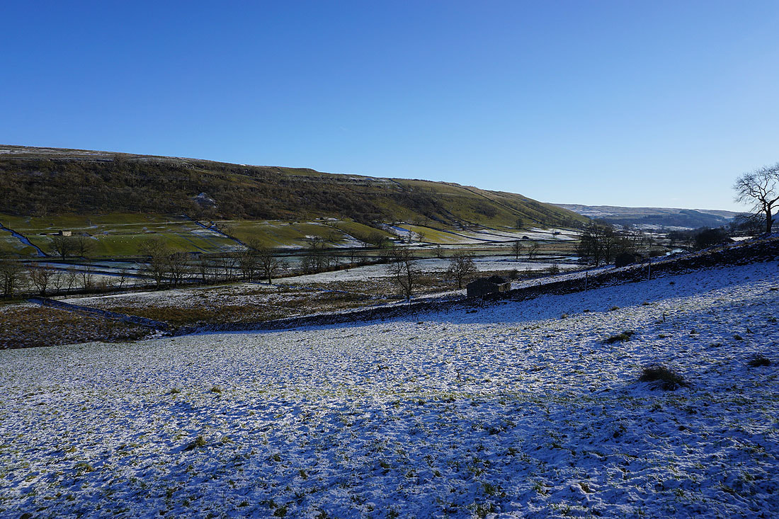
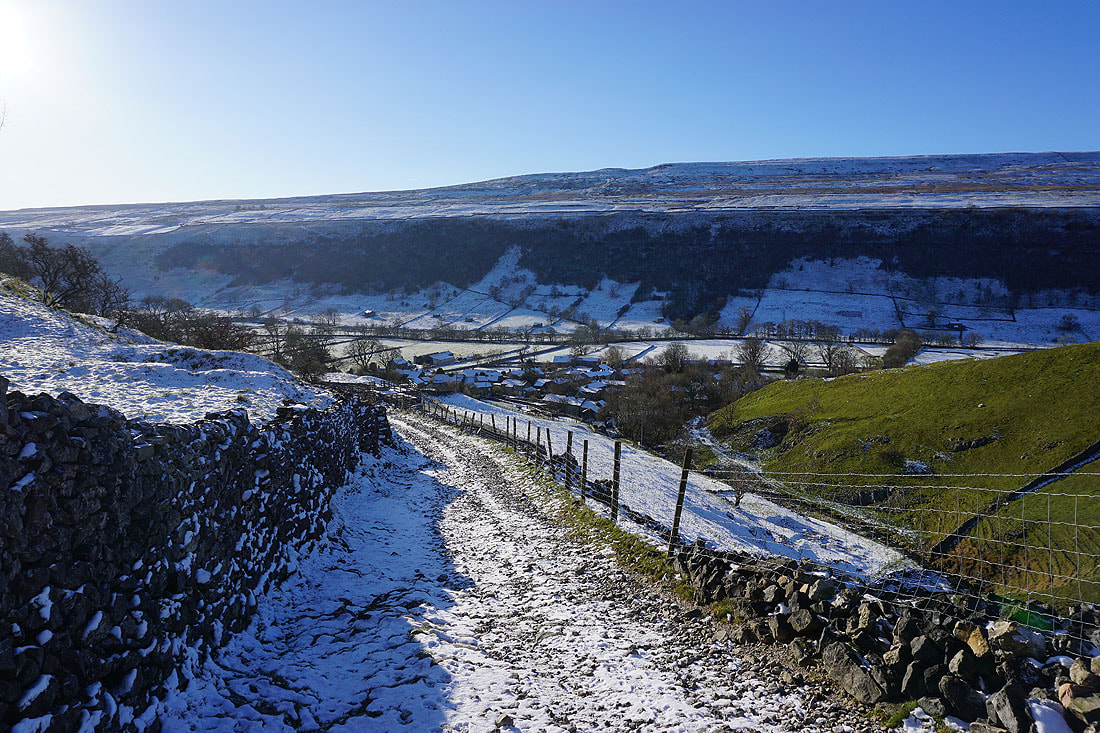
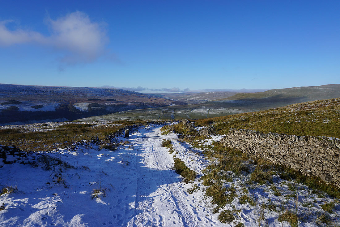
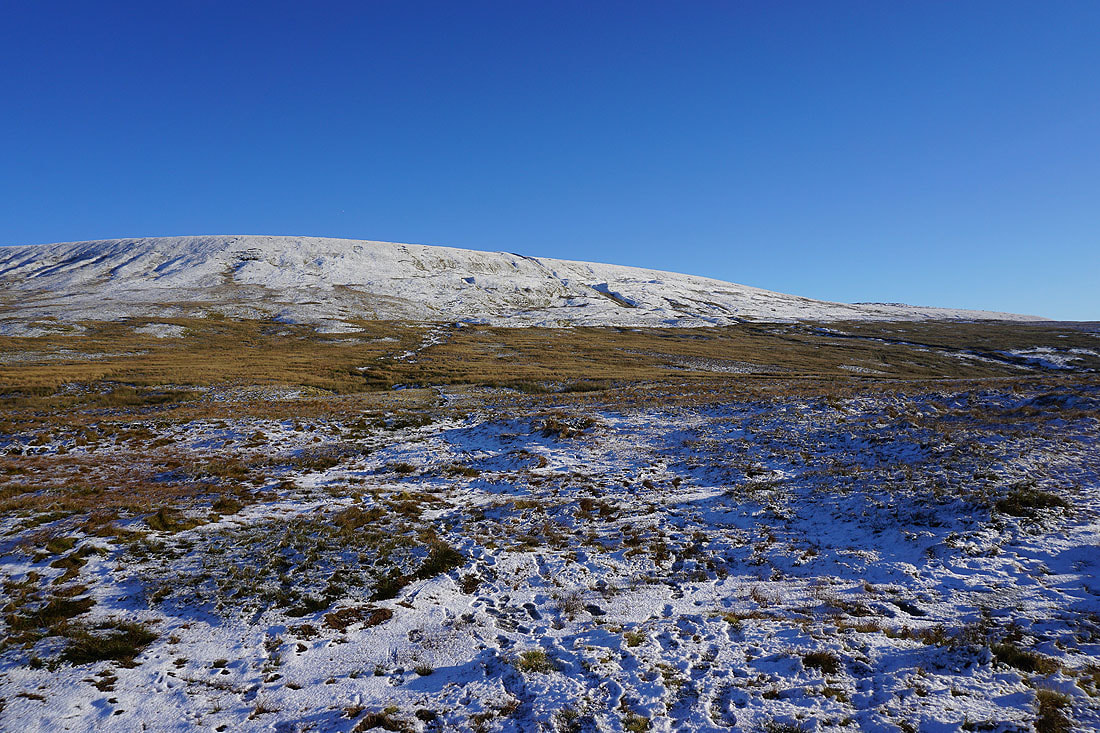
Looking across to the western slopes of Great Whernside, which will be my route back down to Kettlewell..
..and down the valley of Cam Gill and Wharfedale towards Barden Moor
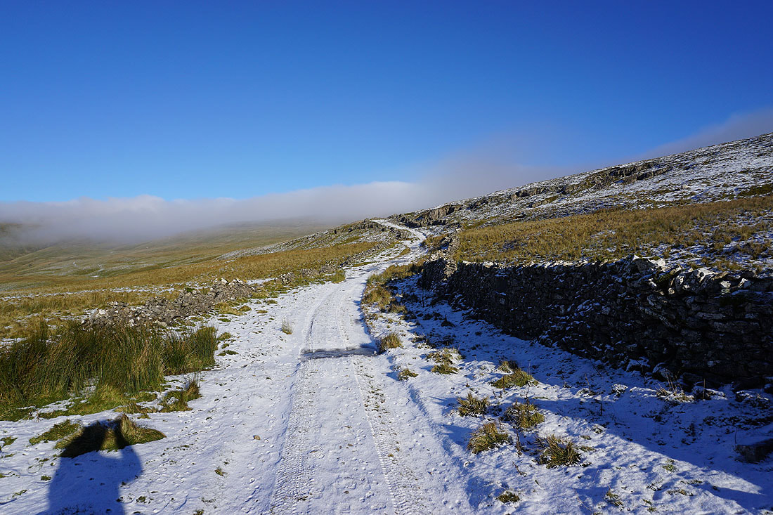
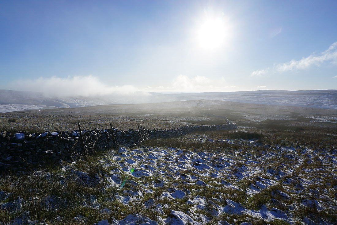
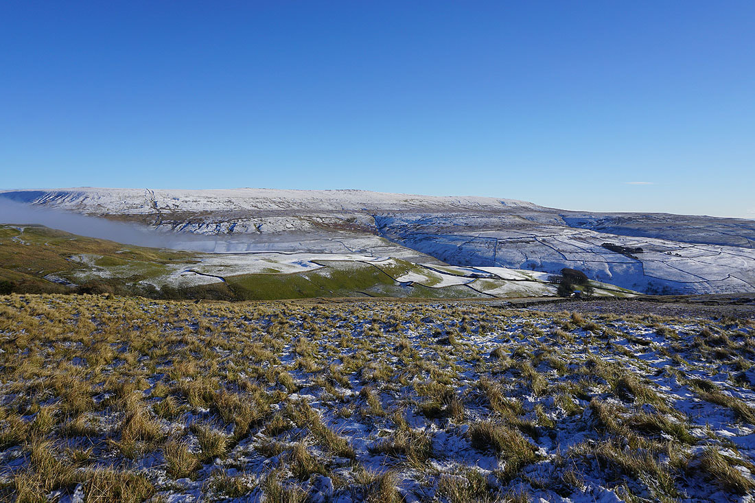
Crossing Hunters Sleets to the Kettlewell to Coverdale road. It looks like the low cloud is crossing the moor from Coverdale, and at the moment Great Whernside is above it.
Looking back across Hunters Sleets
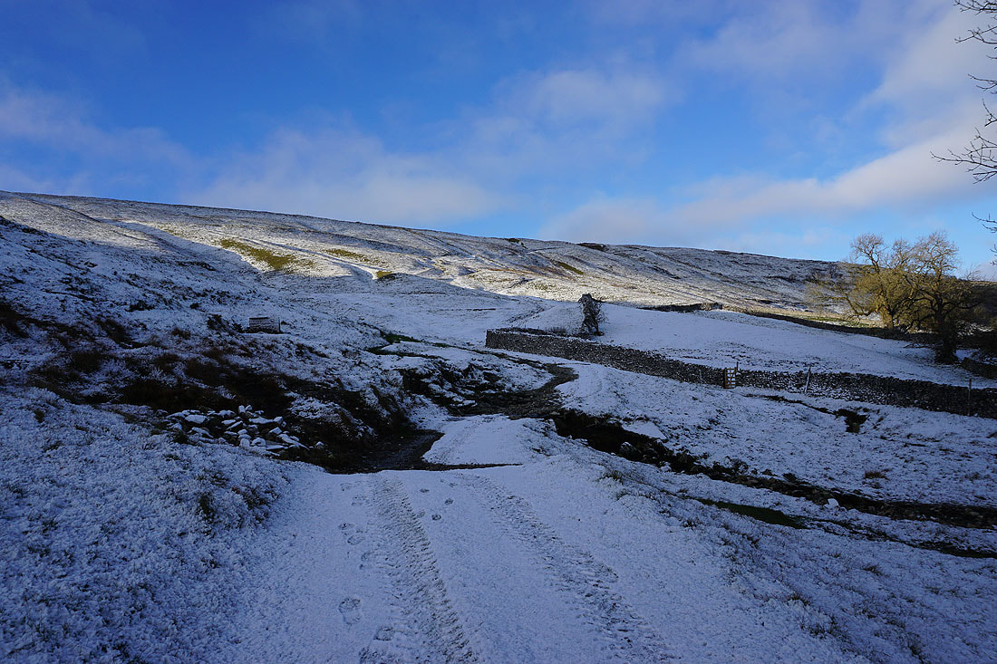
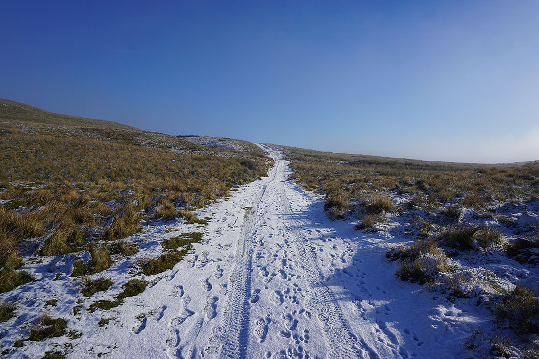
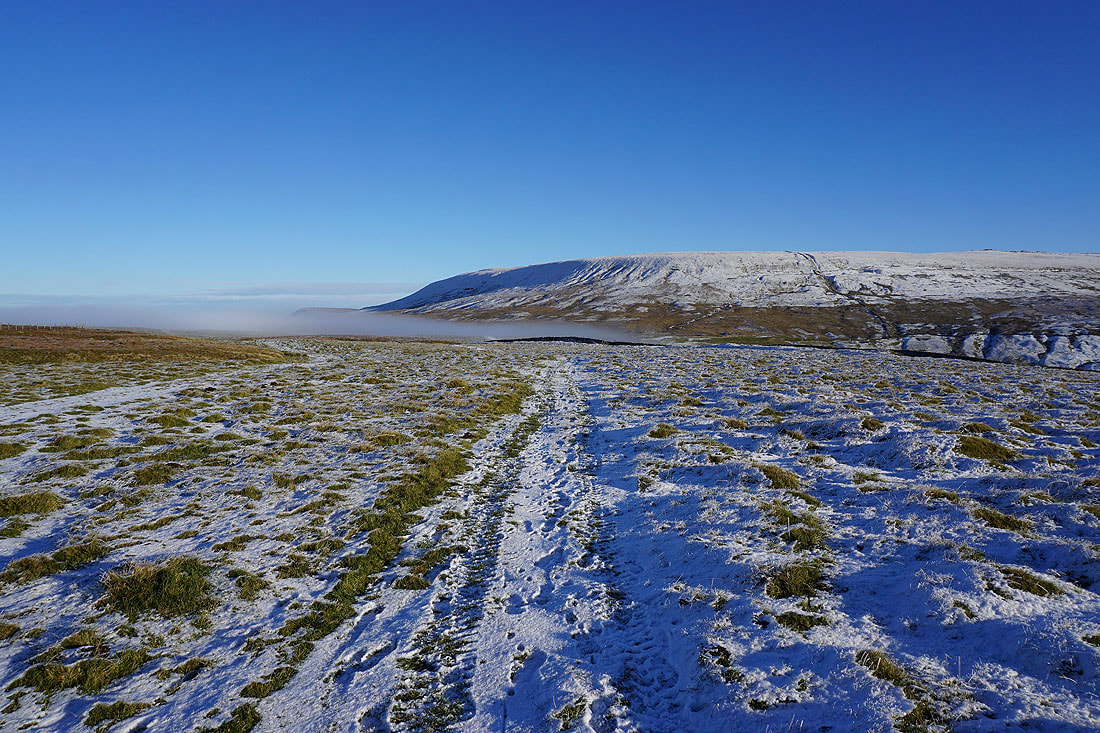
The usually boggy ground is at least partially frozen as I head up Great Whernside
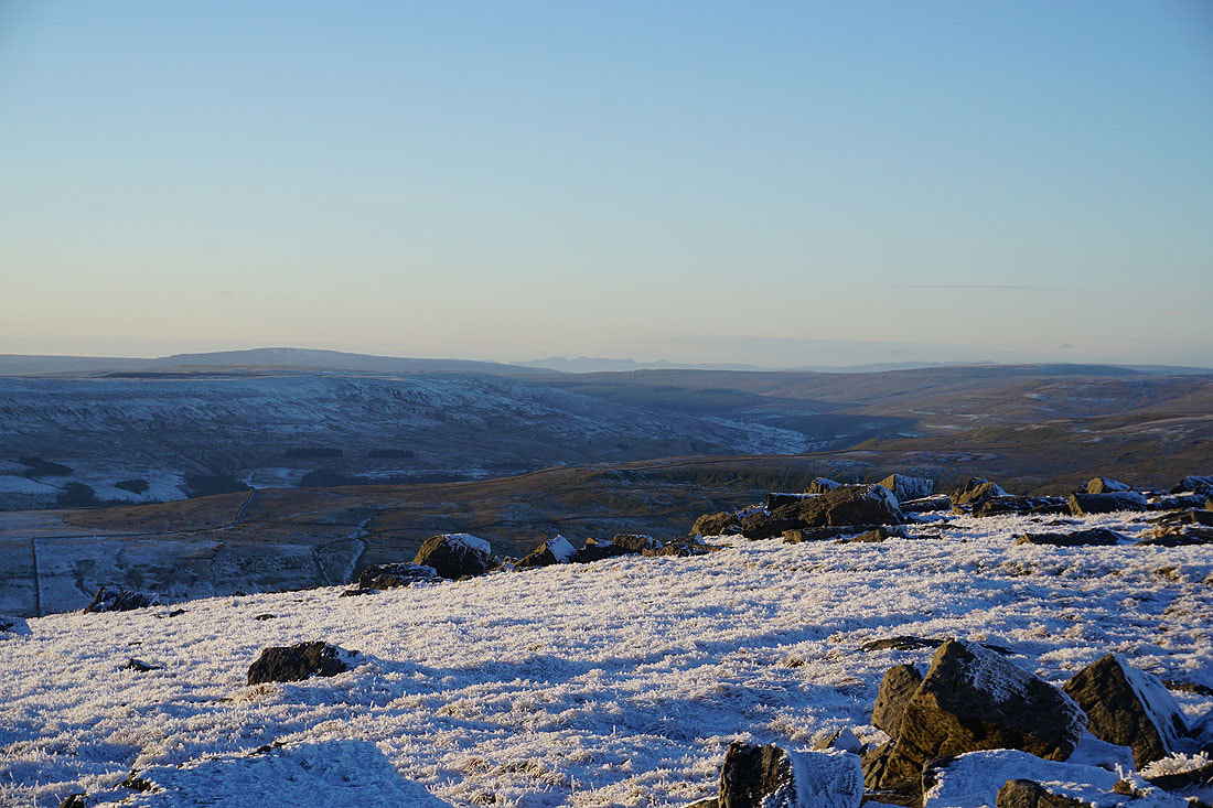
Looking back across Hunters Sleets to Buckden Pike as I make my way up onto Great Whernside
Fountains Fell, Penyghent, Plover Hill, Birks Fell and Whernside in the distance as I head up to Black Dike End
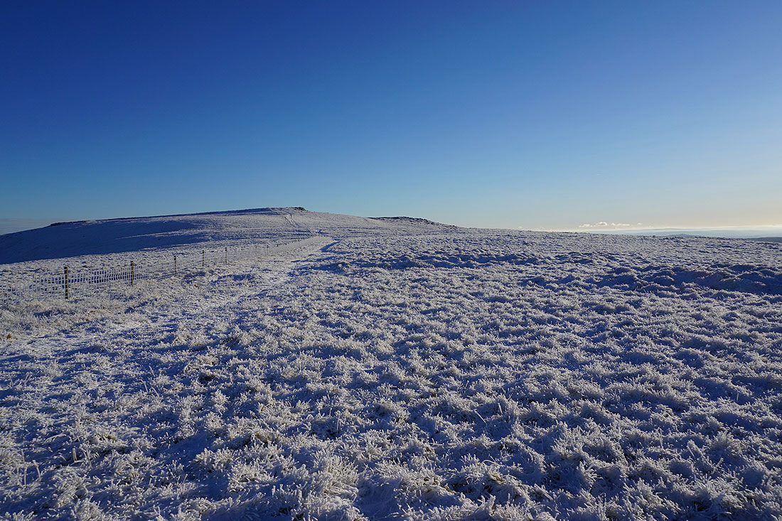
Looking south to Blackfell Top
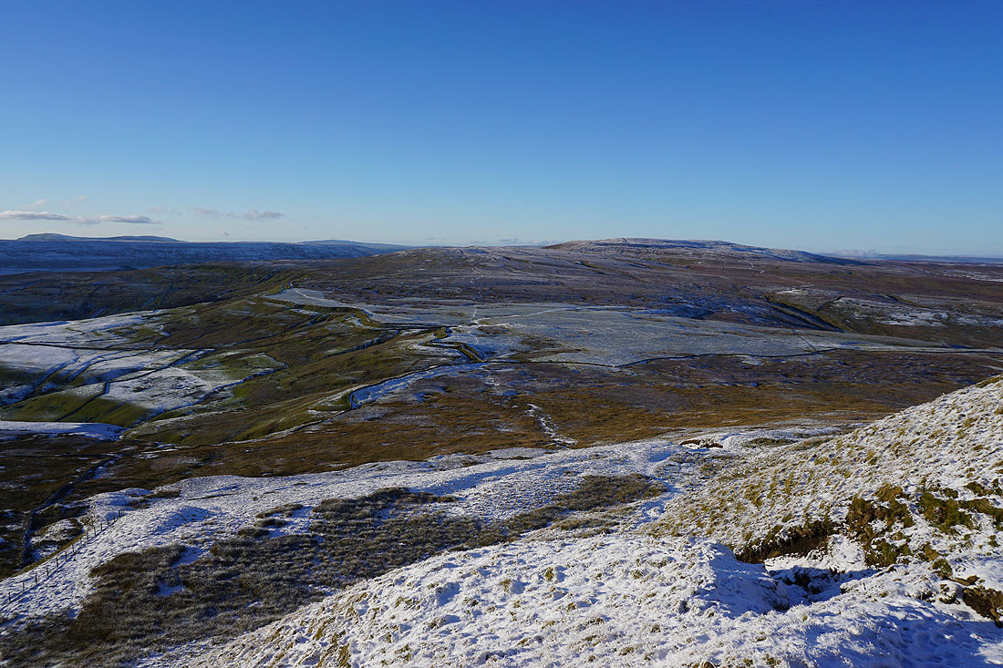
Penyghent, Plover Hill, Birks Fell, Whernside and Buckden Pike from Black Dike End
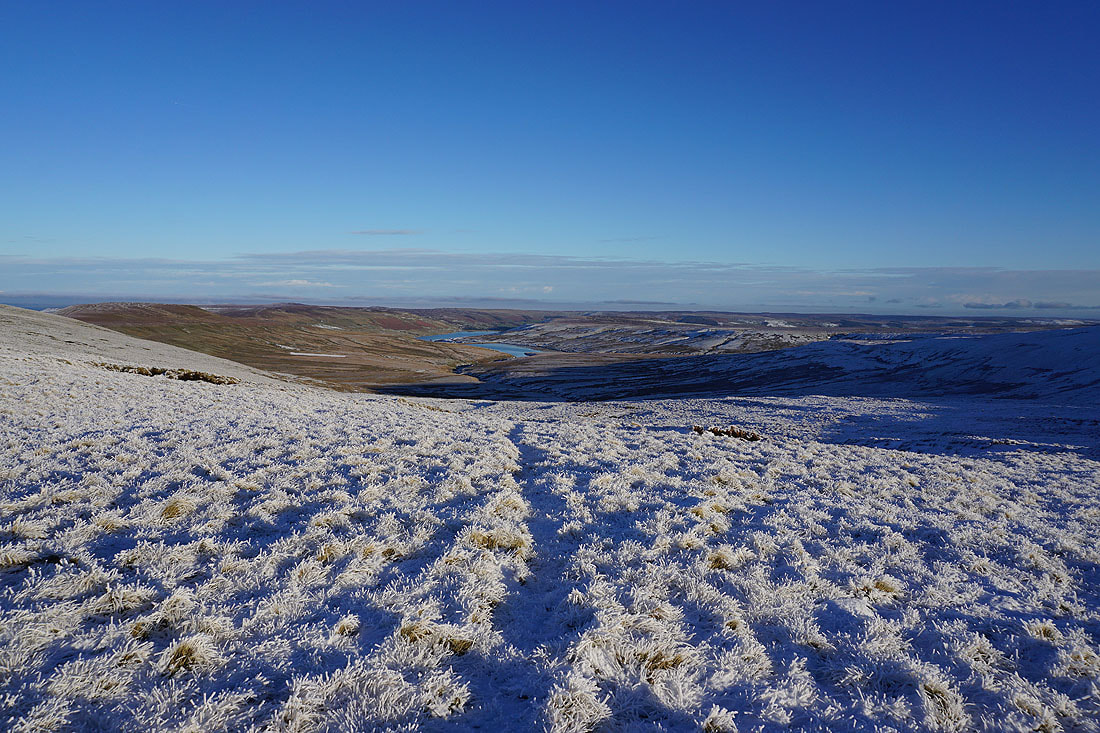
Angram Reservoir, Scar House Reservoir, and Nidderdale
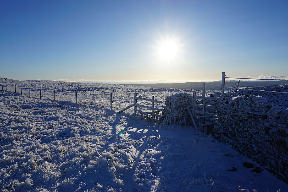
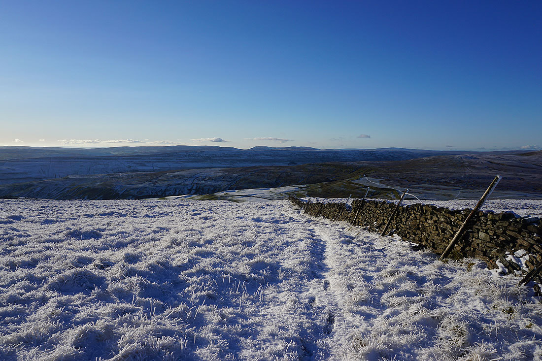
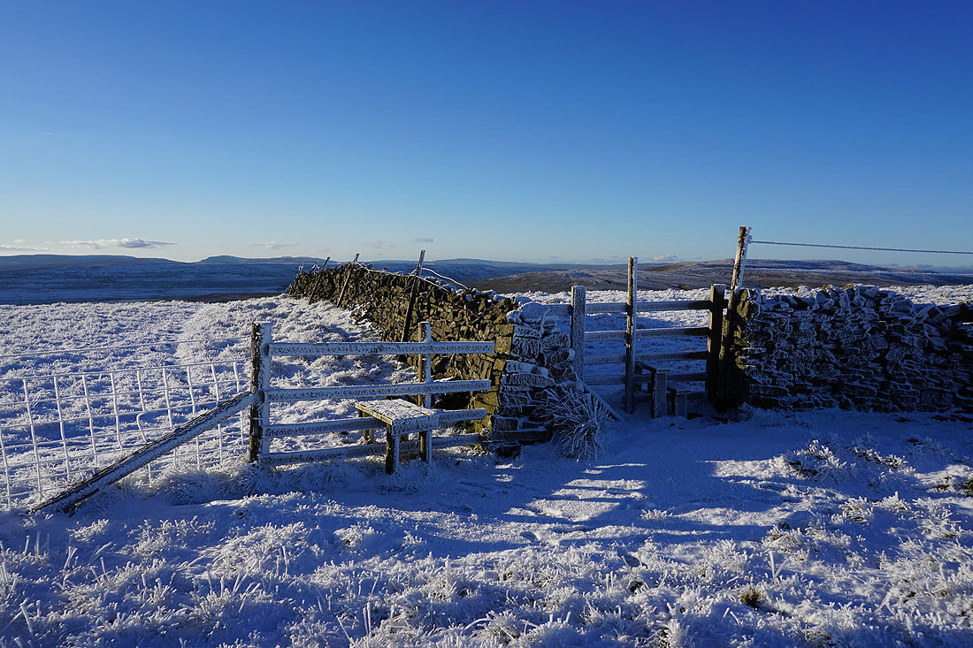
Snow and frost covered fences and walls..
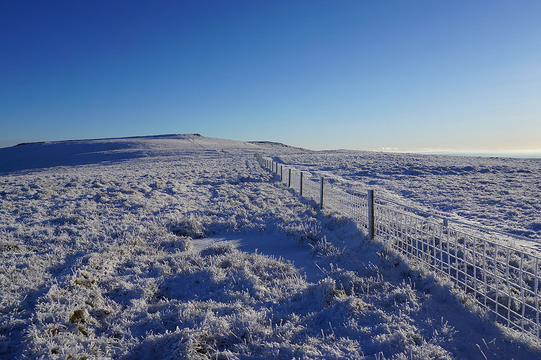
Looking back with Buckden Pike on the left as I head south to Blackfell Top
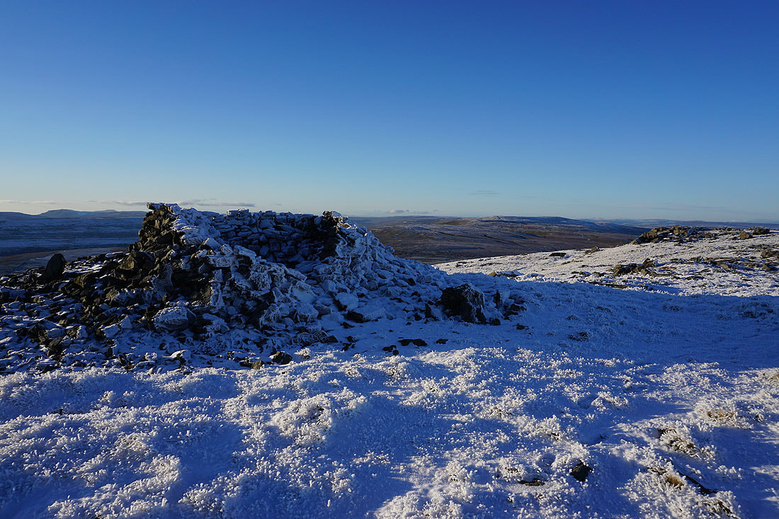
On Blackfell Top. The summit of Great Whernside to the south.
Fountains Fell, Penyghent, Ingleborough, Plover Hill, Birks Fell and Whernside to the west
Buckden Pike, and the moors above Wensleydale in the far distance to the north
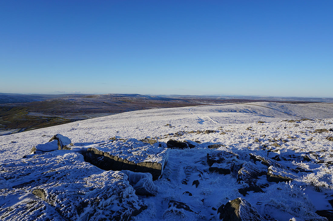
Passing the shelter cairn between Blackfell Top and the summit
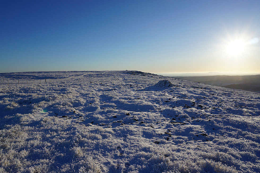
Heading for the summit of Great Whernside
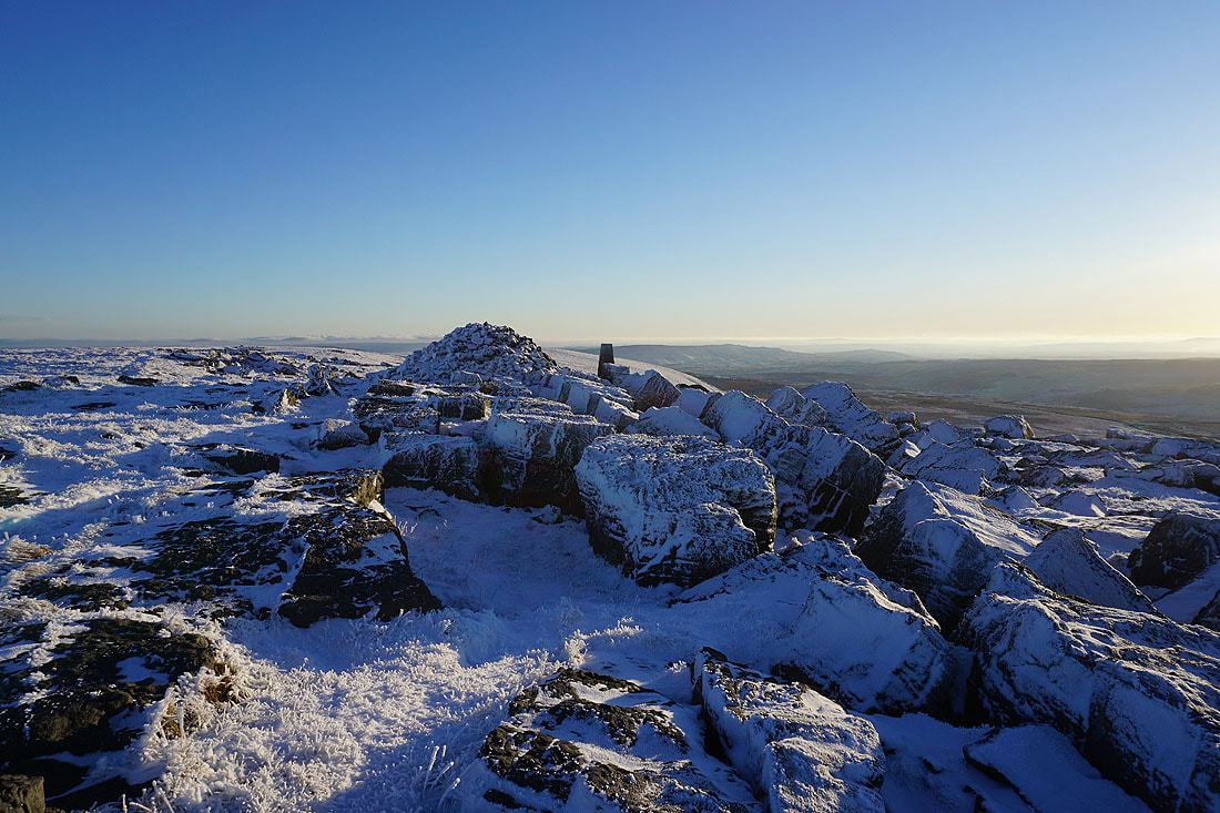
It's a beautiful winter's afternoon as I reach the trig point and summit of Great Whernside..
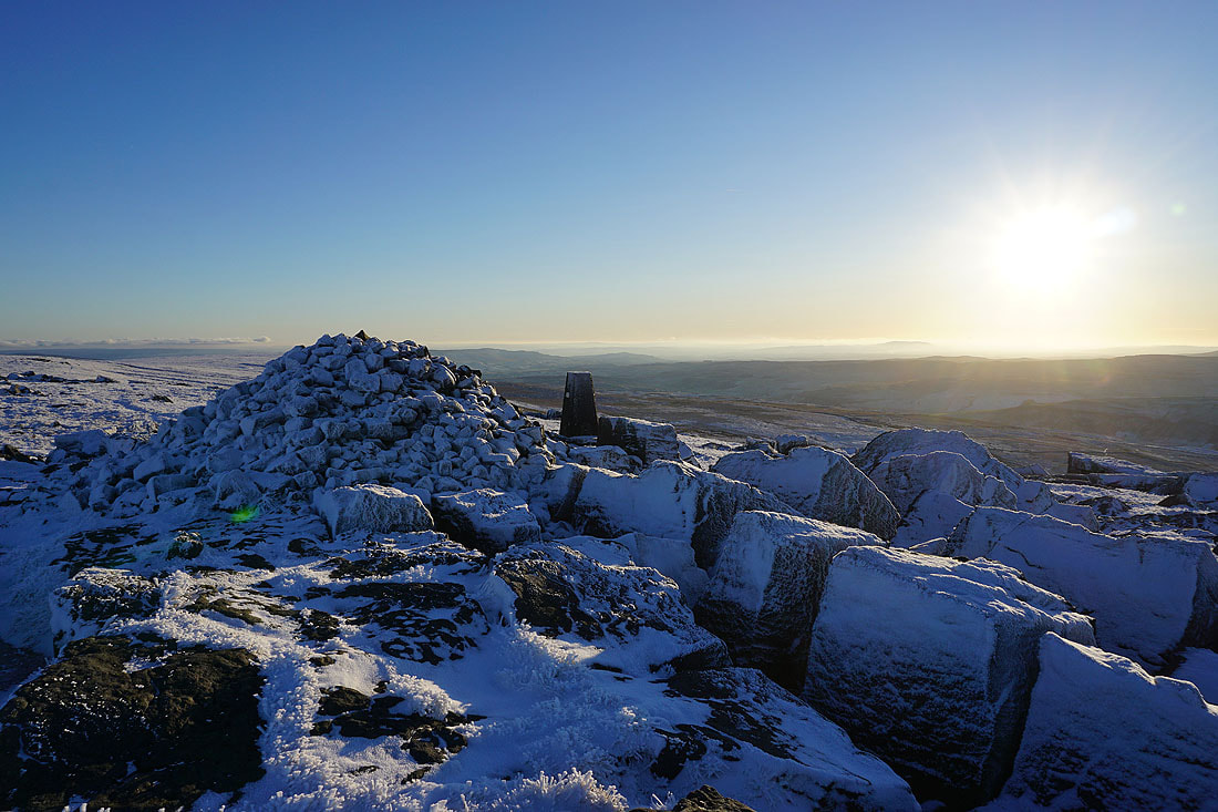
Looking west to Fountains Fell, Penyghent, Ingleborough, Plover Hill, Birks Fell and Whernside
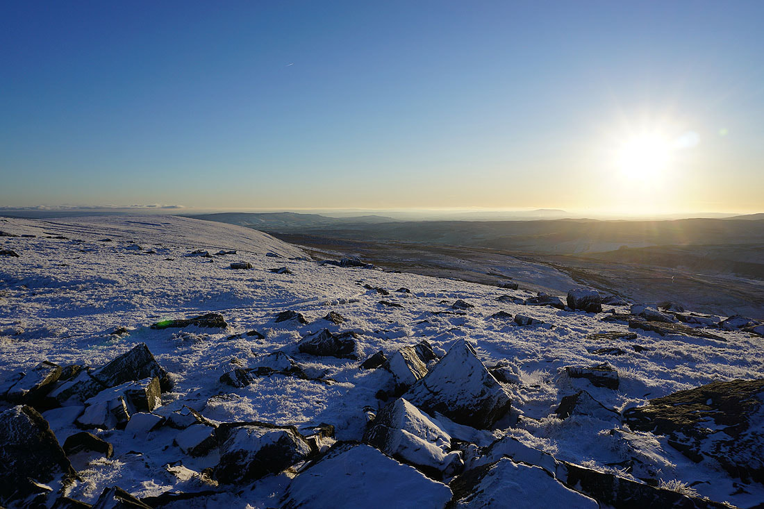
and down Wharfedale to Barden Moor, Threshfield Moor and Kilnsey Moor. I can make out Pendle Hill in the distance to the left of the sun.
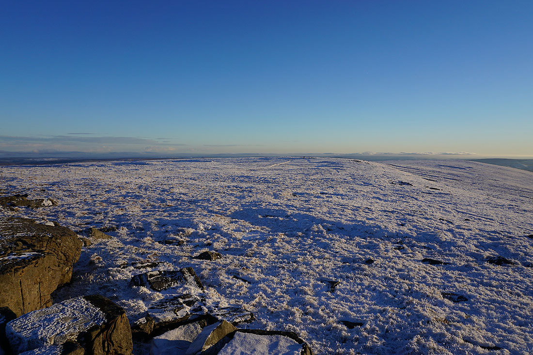
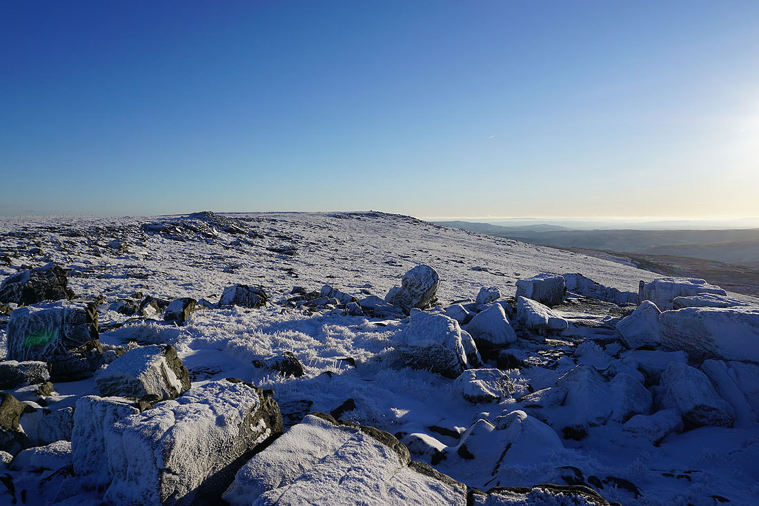
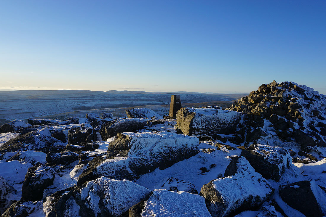
The broad summit ridge of Great Whernside heads south
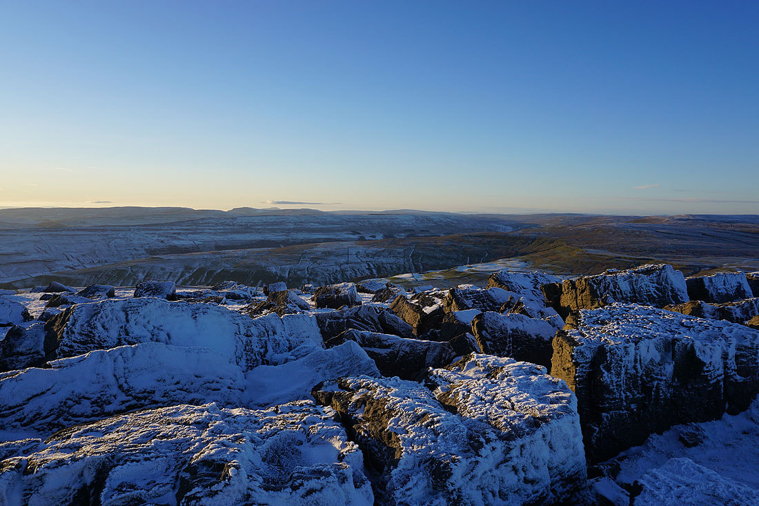
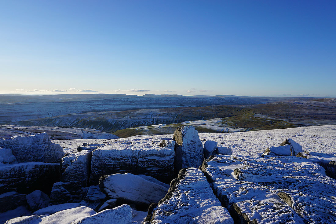
The frost and snow covered boulders make a great foreground for taking in the view across Wharfedale to Fountains Fell, Penyghent, Ingleborough, Plover Hill, Birks Fell and Whernside
Zooming in to the right of Whernside and I can make out Scafell, Scafell Pike and Great Gable in the Lake District
There's a bit a mist flowing across the summit from the east
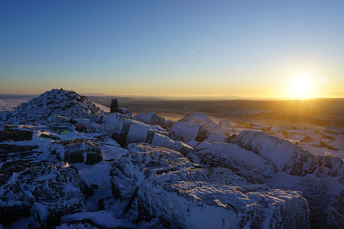
A final shot from the summit as the sun starts to set
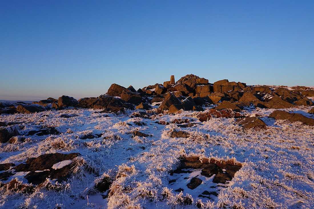
The summit rocks take on a rosy pink glow
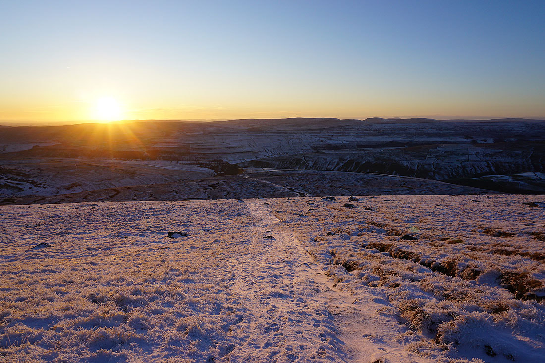
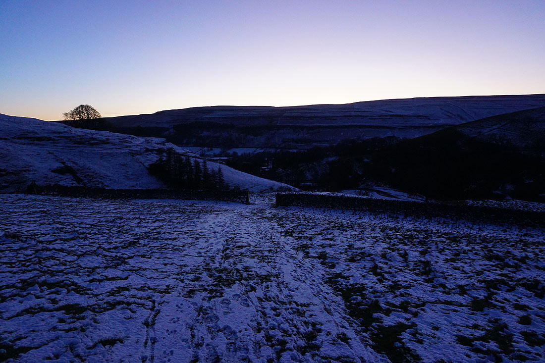
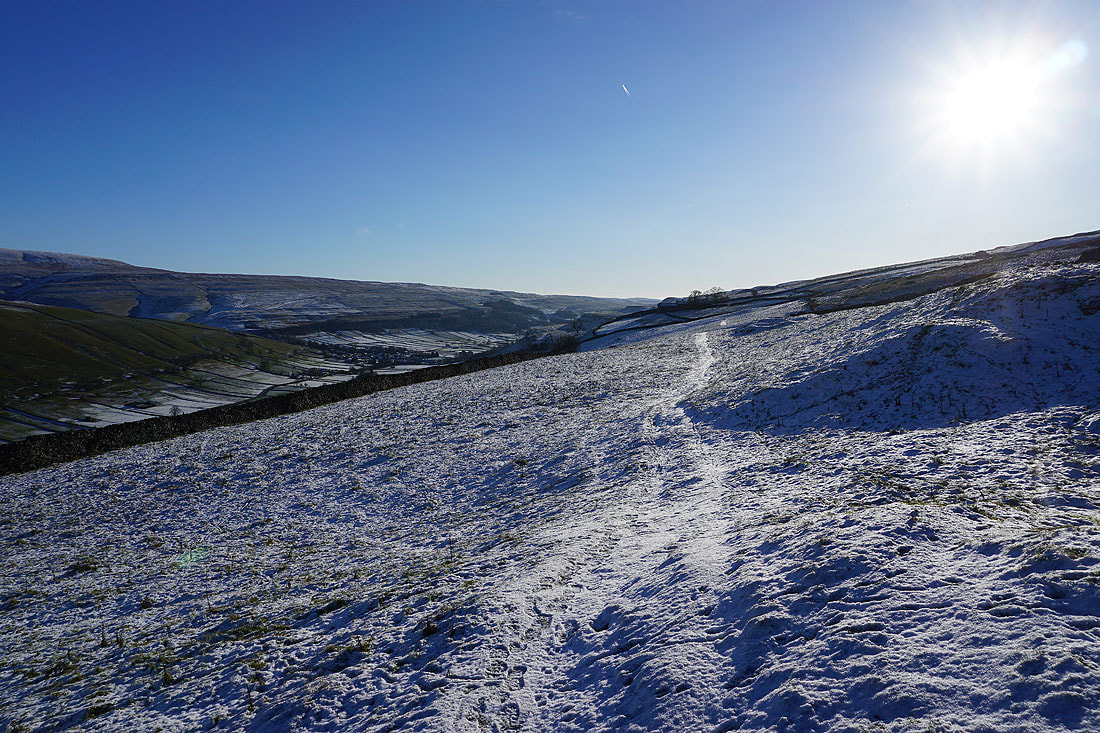
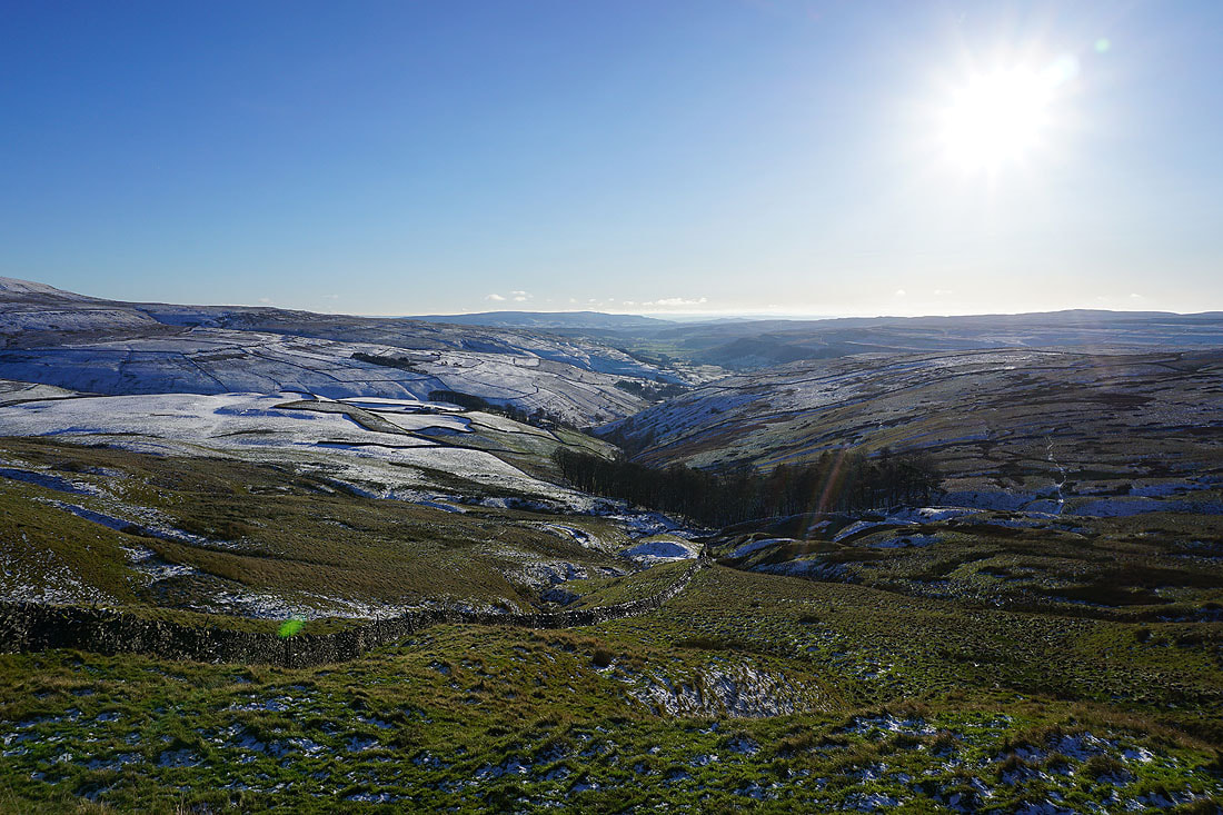
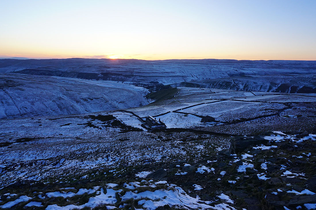
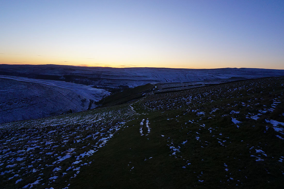
The sun sets as I descend the path from the summit to the Hag Dyke Hostel...
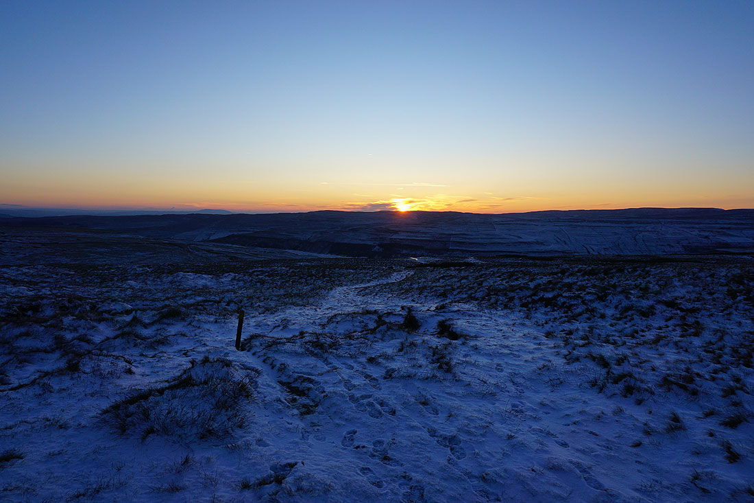
Heading down to Kettlewell and I've certainly made the most of the available daylight..