1st February 2015 - The Dales Way & the moors above Grassington
Walk Details
Distance walked: 9.8 miles
Total ascent: 1251 ft
OS map used: OL2 - Yorkshire Dales, Southern & Western areas
Time taken: 5 hrs
Route description: Grassington-Dales Way-Conistone Pie-Bycliffe Road-Kelber-Downs Pasture-New Pasture Edge-Yarnbury-Hebden Beck-Tinkers Lane-Edge Lane-High Lane-Grassington
The cold weather and snow is hanging around and with a fine day forecast I had to get out for a walk. Some nice sunshine to enjoy but with a bitterly cold and strong northerly wind I'm glad that I decided to do this route from Grassington that didn't venture too high. I can only imagine how it would have felt on the higher summits.
From the car park in Grassington I walked up Main Street and onto the Dales Way. I then followed this north to the limestone outcrop of Conistone Pie. After backtracking for a few hundred yards I turned left and onto the bridleway of Bycliffe Road, which I followed uphill through Kelber Gate and onto the moorland of Kelber. A small cairn to the right of the path was my cue to take the footpath south across Downs Pasture and New Pasture Edge to the hamlet of Yarnbury. I then crossed Moor Lane to take the track that makes its way through the old mine workings and down into the valley of Hebden Beck. Keeping on the western side of the beck I found the track of Tinkers' Lane. This heads uphill and becomes Edge Lane as it curves round to the right below Edge Top. A footpath then heads down from Edge Lane across a succession of fields to the track of High Lane which I followed back into Grassington.
Route map
© Crown copyright. All rights reserved. License number PU 100034184.
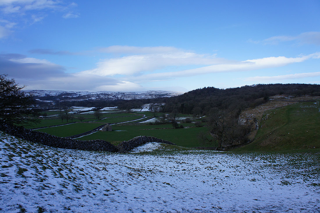
Setting off from Grassington on the Dales Way and it's quite grey as I look across Wharfedale
The reason for the lack of sunshine. Banks of cloud above Burnsall Fell.
Clearer skies and sunshine in the direction I'm heading though
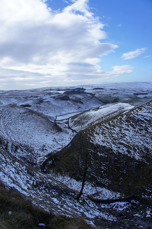
Passing the top of Conistone Dib
The limestone outcrop of Conistone Pie comes into view
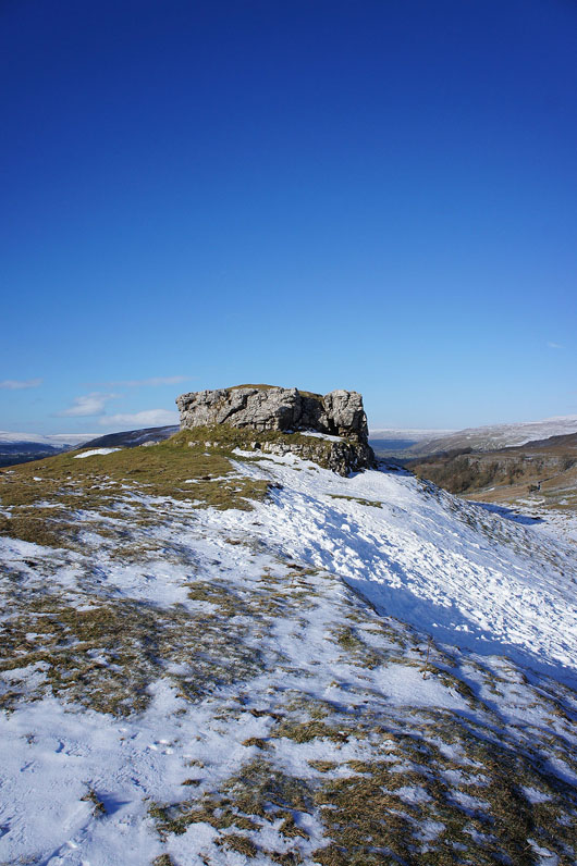
It was a good spot to get of the wind and have my lunch
There's also a great view to be had. Looking north with Littondale on the left and Wharfedale on the right separated by Birks Fell.
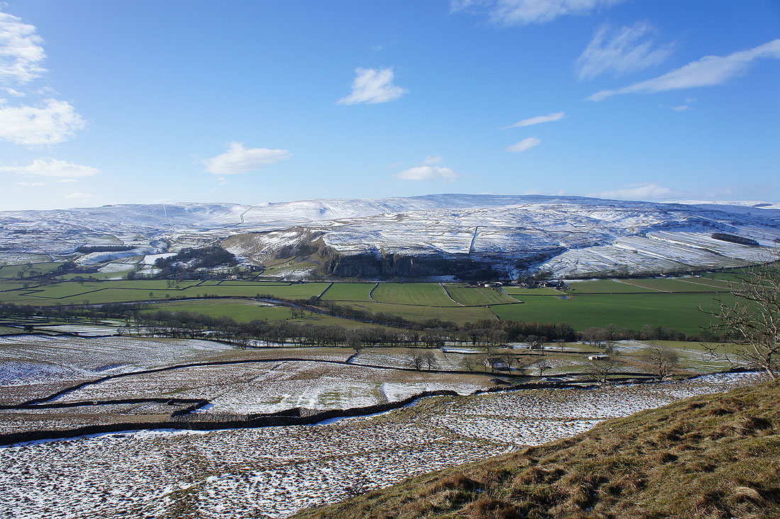
Kilnsey Crag on the other side of the valley
Looking down Wharfedale
I need to backtrack for a short distance along the Dales Way before..
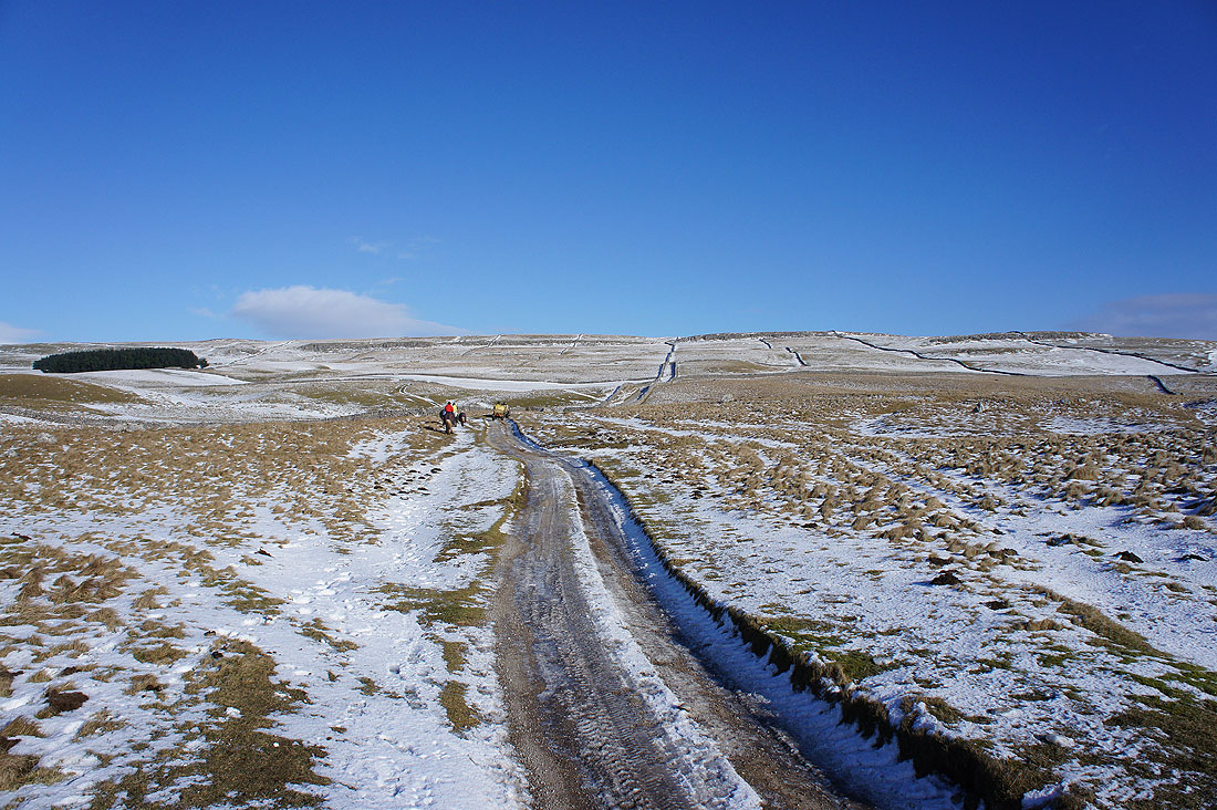
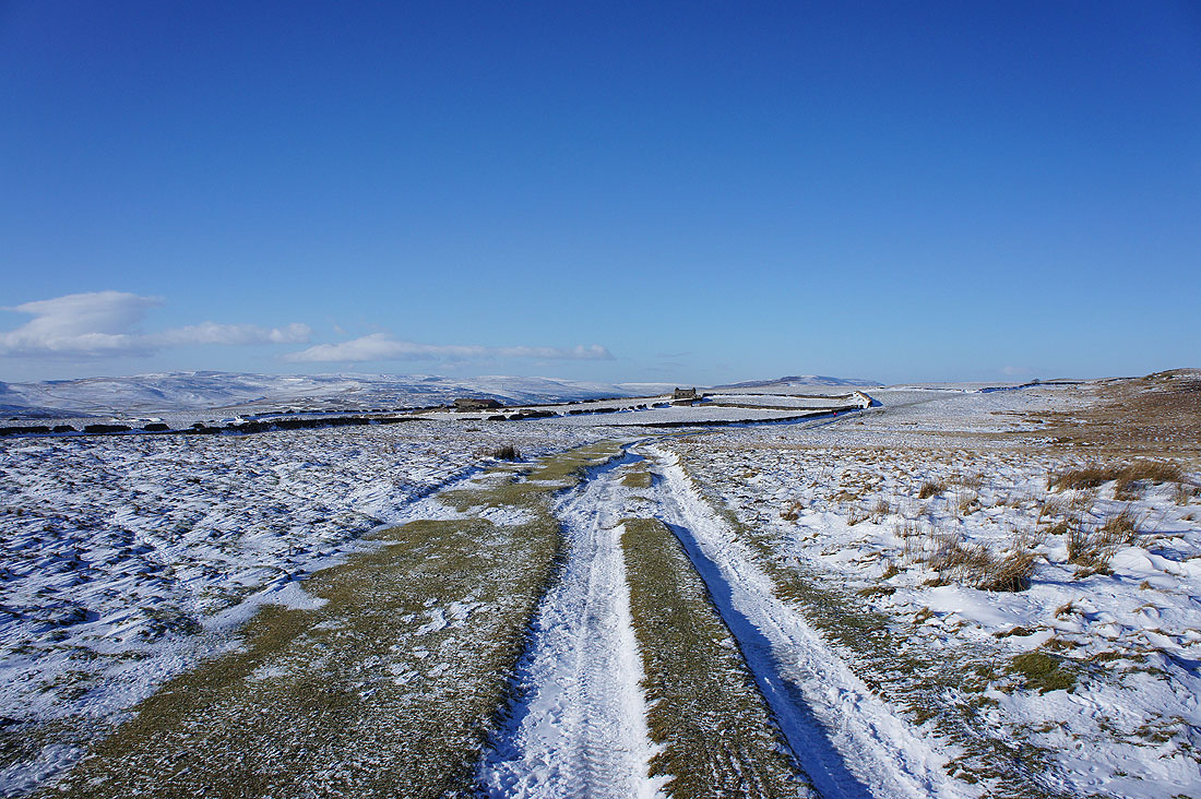
..taking the bridleway of Bycliffe Road. A couple of quadbikes are taking hay up to some ponies in the fields above.
Looking back as I leave the enclosed part of the bridleway behind at Kelber Gate
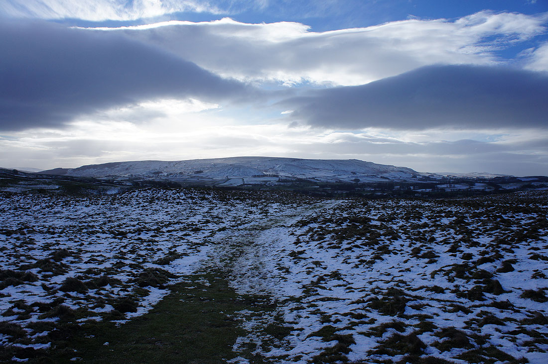
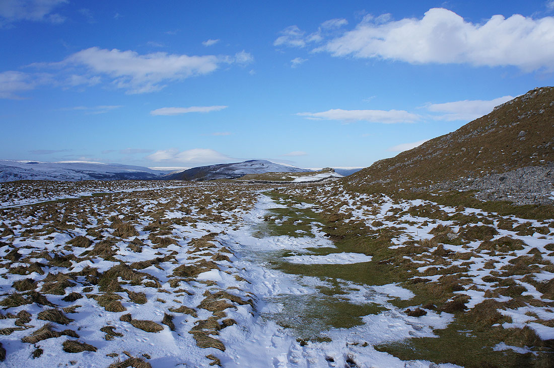
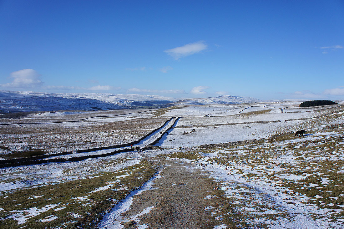
At the high point of the walk and there's a strong and very cold wind up here. Just up ahead a cairn on the right marks where I'll turn right onto the path across the moorland and back towards Grassington.
Turning round to see the snow covered summit of Great Whernside above the nearby moors
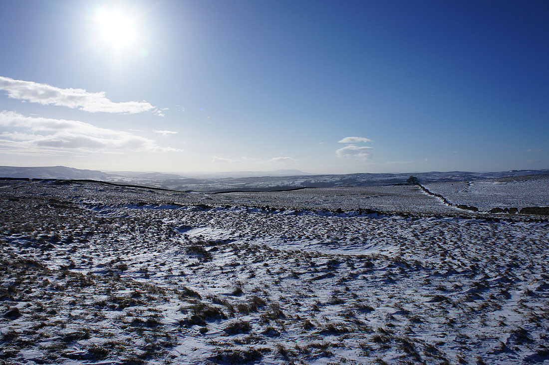
A distant view to Pendle Hill
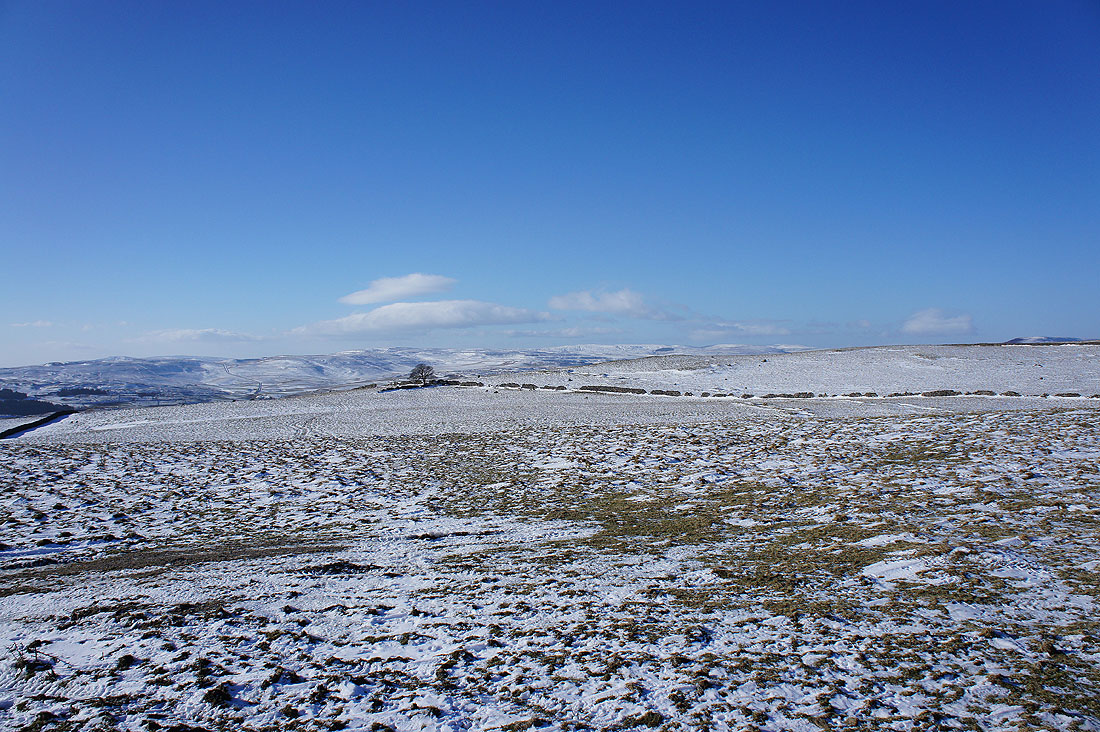
and of snow covered moors
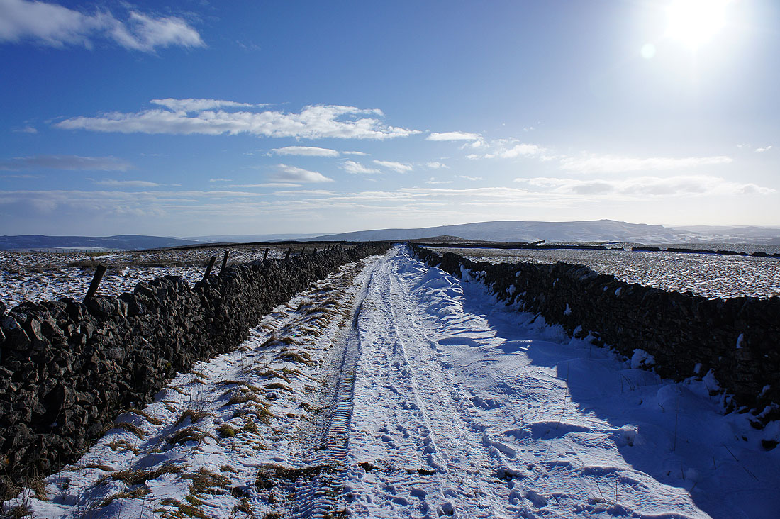
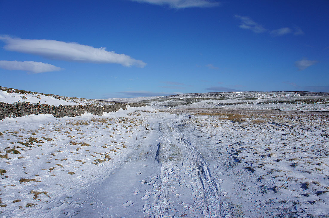
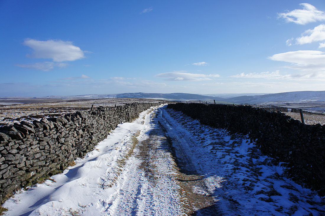
The path briefly becomes enclosed
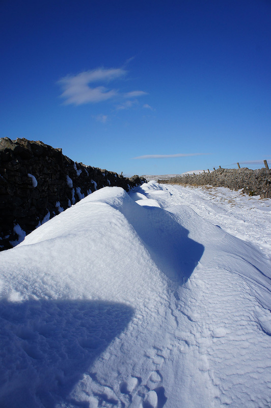
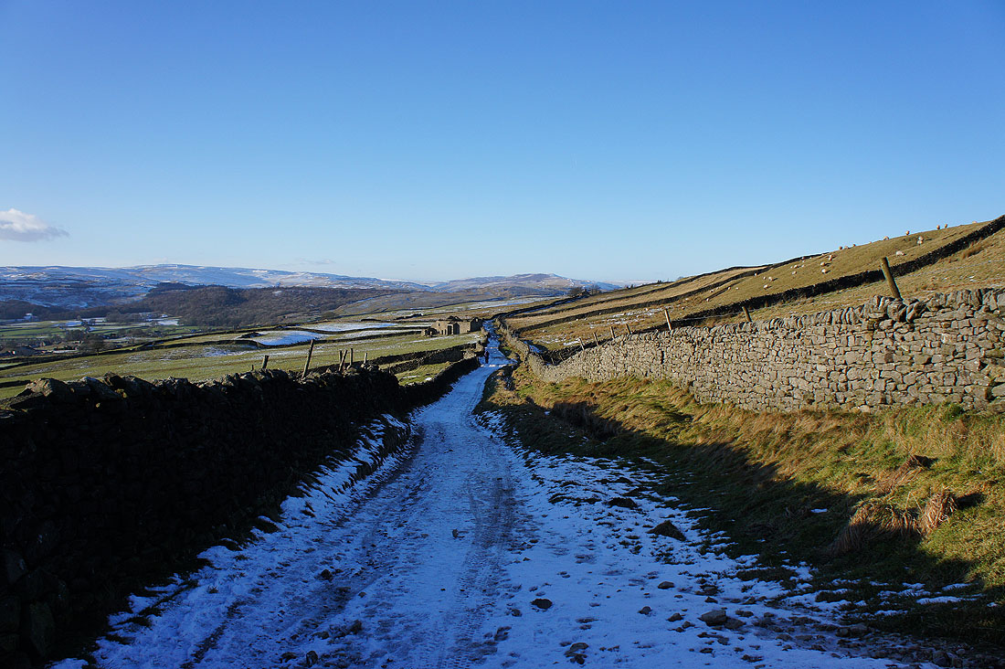
Which has allowed some deep drifts to build up in the lee of the wall
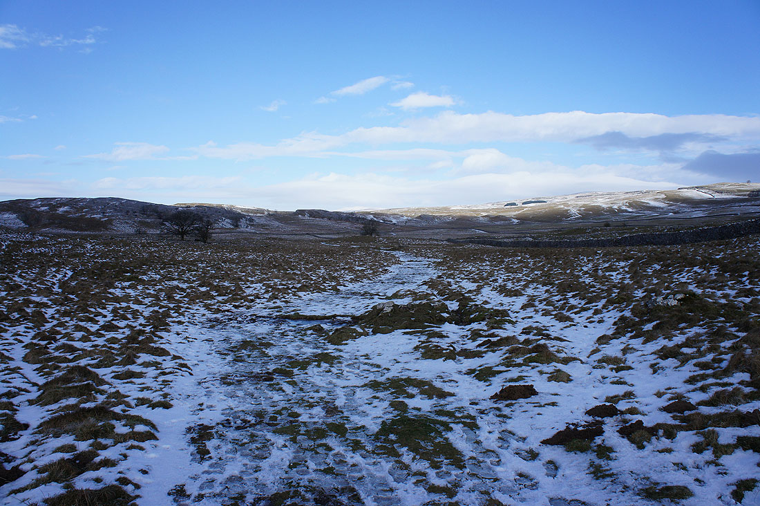
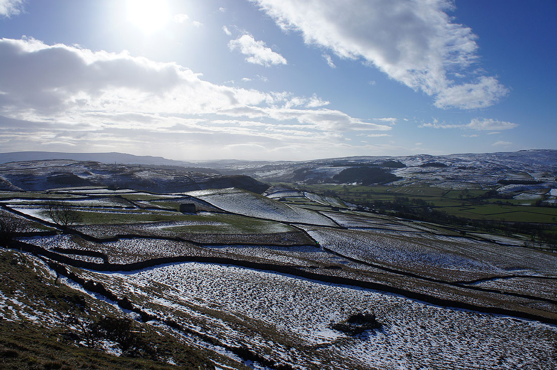
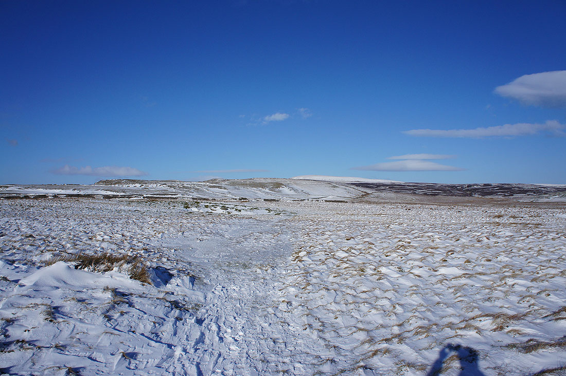
Heading across Downs Pasture
Back Pasture, Downs Pasture and the isolated buildings of Bare House and High Barn
On the track beneath New Pasture Edge

The moorland around Yarnbury was mined for lead in days gone by. There are information boards that are part of the Grassington Lead Mining Trail describing the history of the area and what can be seen. This is Yarnbury Dam, a small reservoir built to contain water for powering machinery.
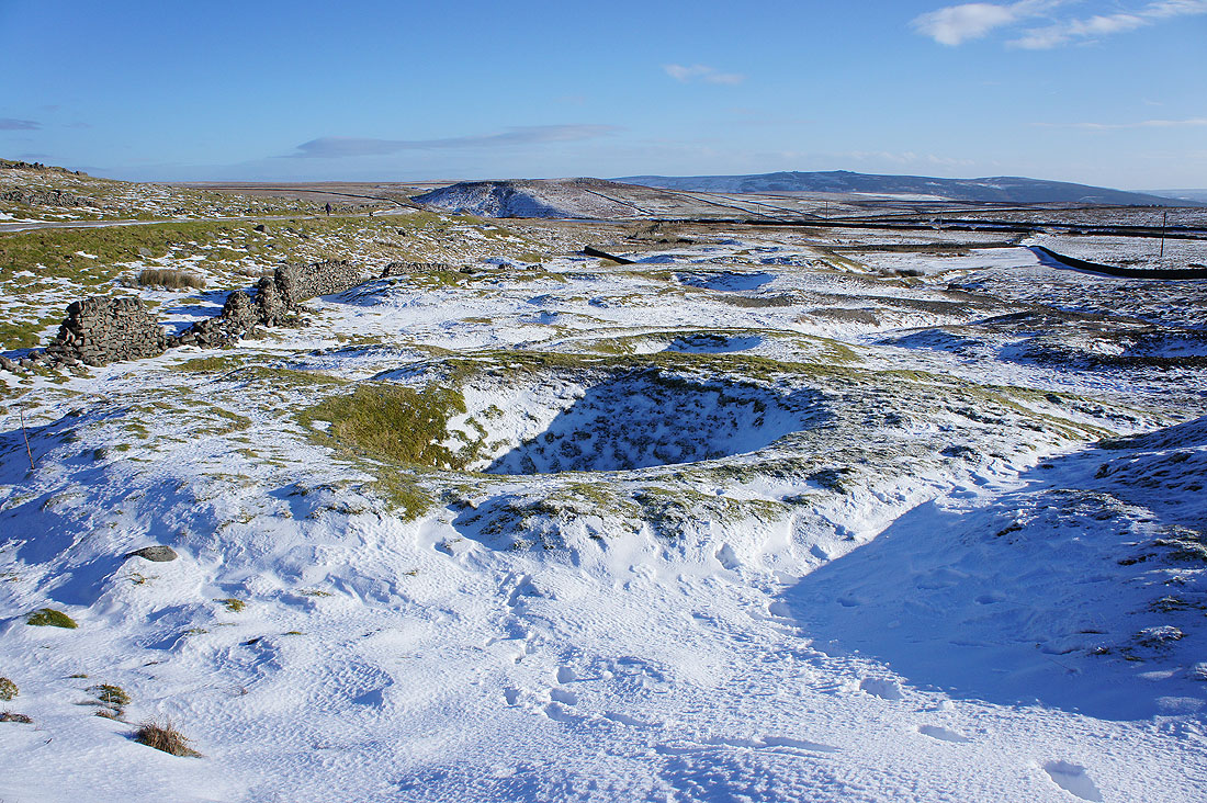
A shallow shaft. About 30m (100ft) deep. Lifting gear was built over its top to carry out the ore.
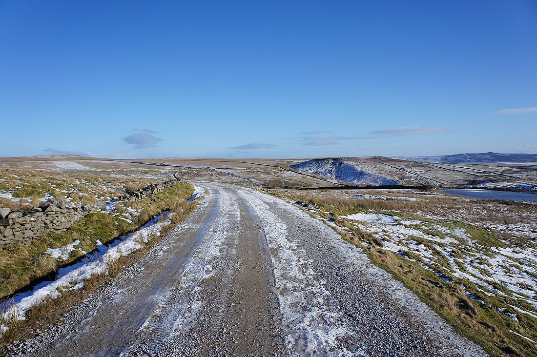
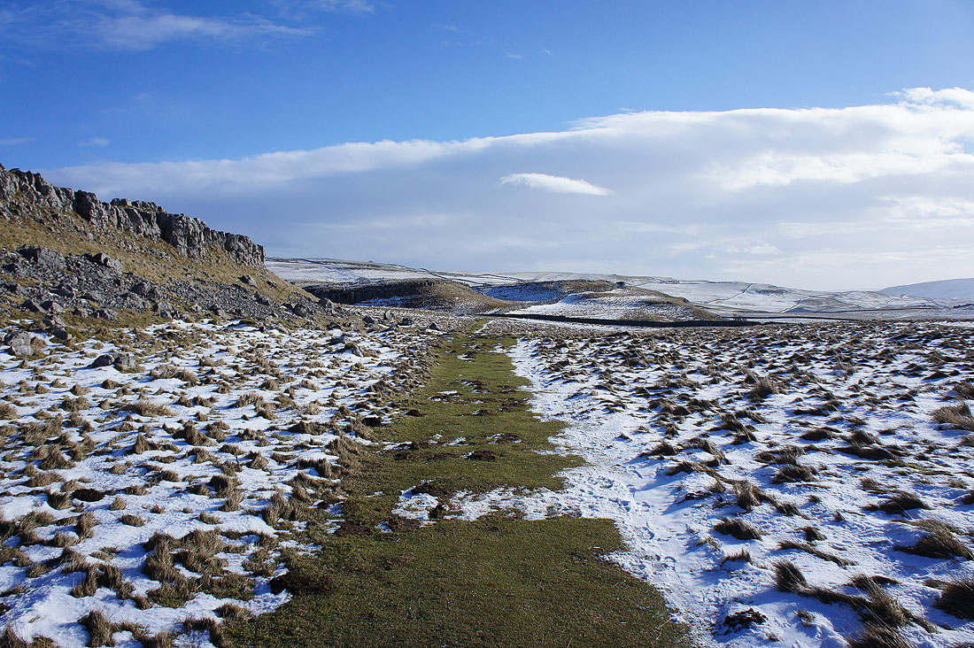
The track that goes through the disused mines and..
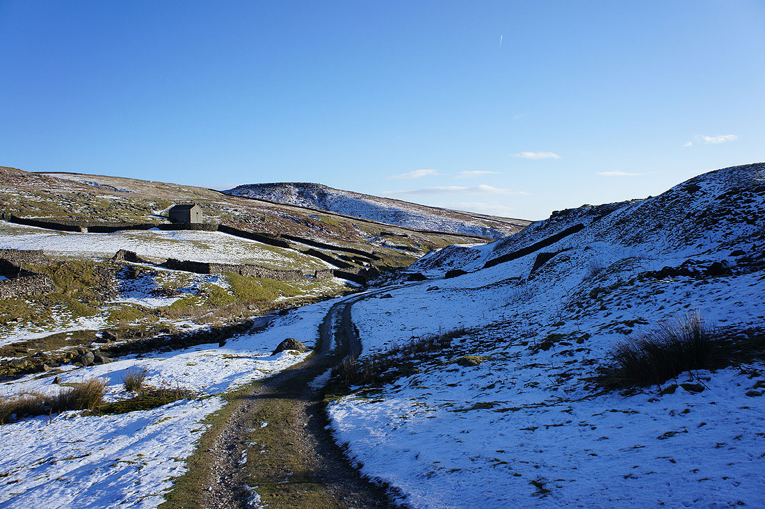
..down into the valley of Hebden Beck
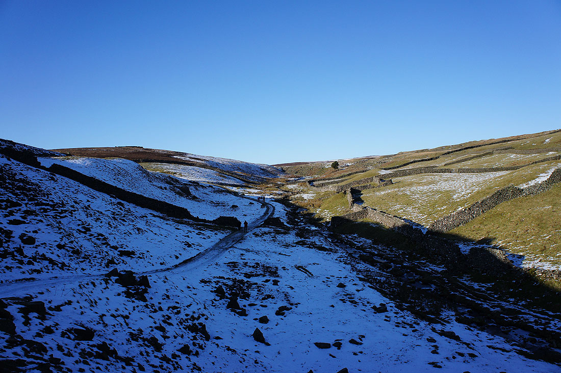
It's a cold and wintery scene
Tinkers' Lane. I was glad that the ground was frozen.
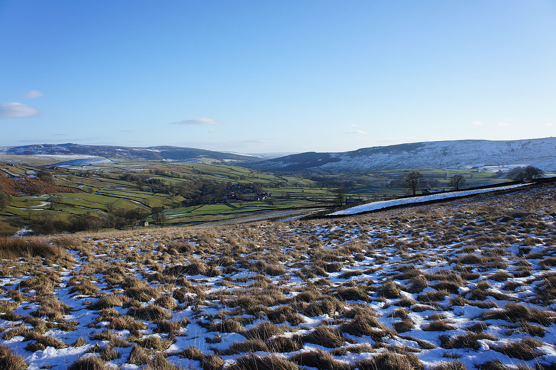
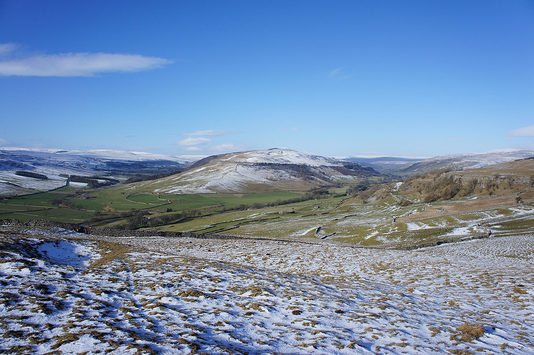
Simon's Seat, the village of Hebden and Burnsall Fell
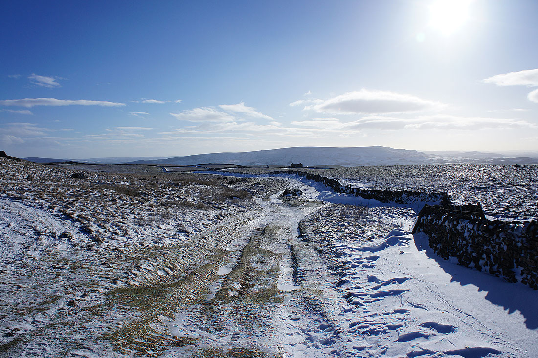
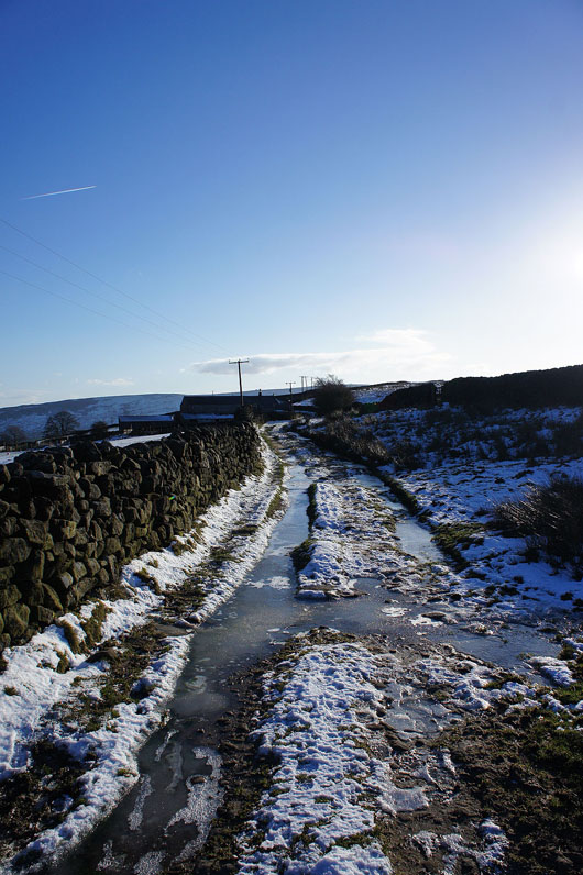
On the track of Edge Lane
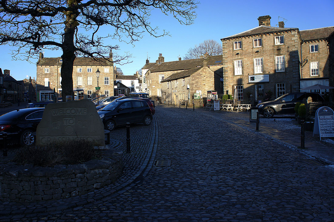
Back in Grassington and it's a lovely end to the day