1st January 2013 - Stoodley Pike
Walk Details
Distance walked: 7.5 miles
Total ascent: 976 ft
OS map used: OL21 - South Pennines
Time taken: 4 hrs
Route description: Lumbutts-Pennine Bridleway-Basin Stone-Gaddings Dam-Pennine Way-Stoodley Pike-Pennine Way-Pennine Bridleway-Lumbutts
The first walk of the year and a nice way to start. It was windy but it stayed mostly dry with just a few light showers passing through and there was even a little sunshine to be had.
From the village of Lumbutts where I parked my car by the side of the road I walked up the road to the Shepherd's Rest Inn where the Pennine Bridleway leaves the road. As the path heads round a corner I turned to head uphill for Gaddings Dam, passing the Basin Stone on the way. From Gaddings Dam I followed a path to join the Pennine Way, which took me to Stoodley Pike. I then used the Pennine Way and Bridleway to take me back to Lumbutts.
Route map
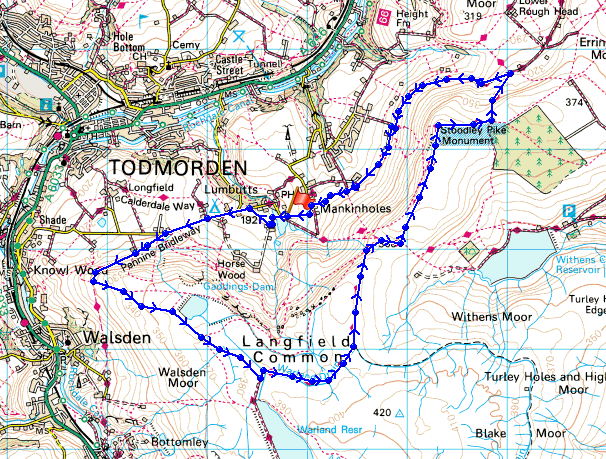
© Crown copyright. All rights reserved. License number PU 100034184.
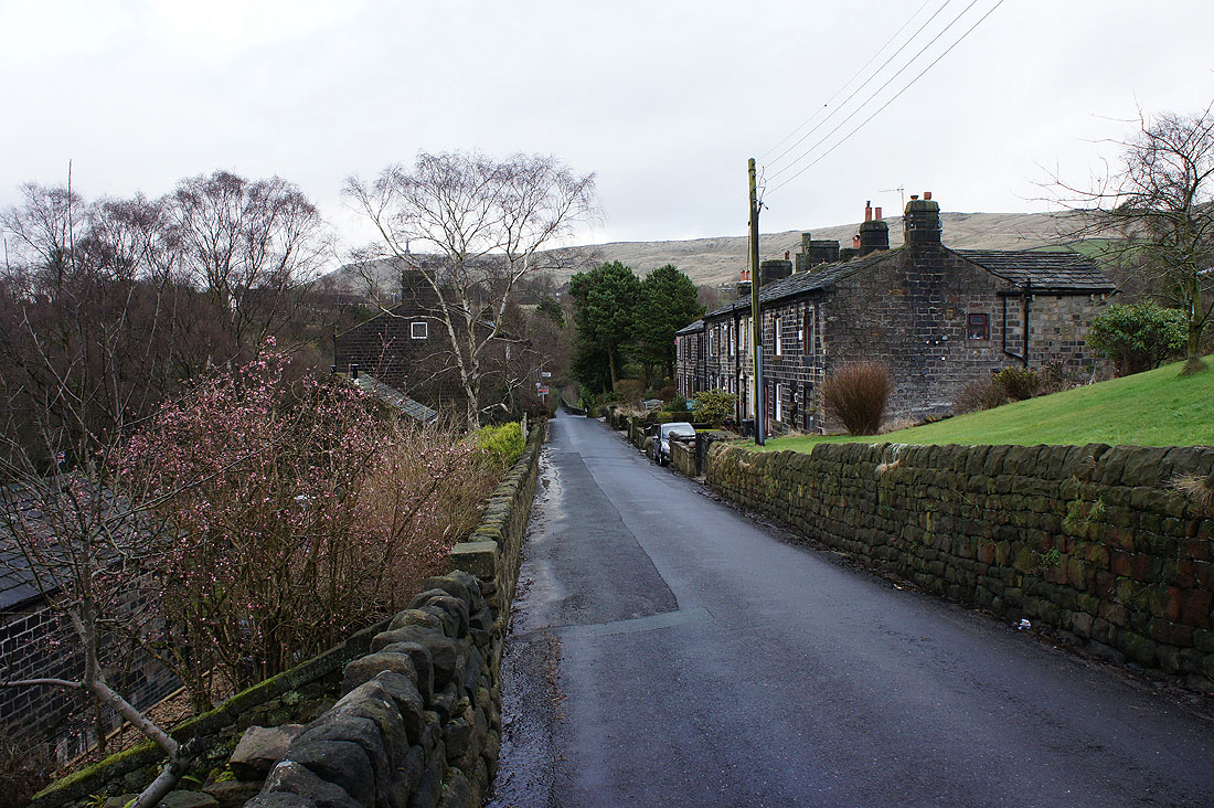
I've just walked through the village of Lumbutts, where I parked by the side of the road at its other end
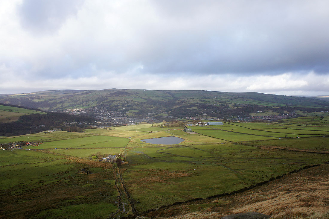
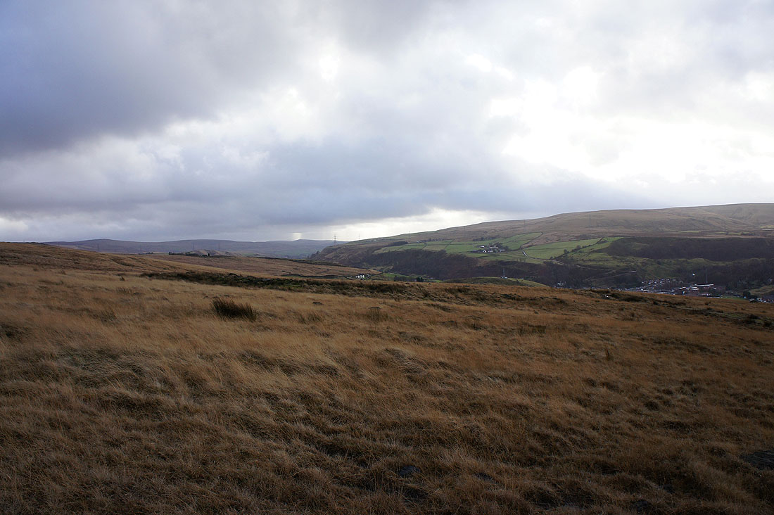
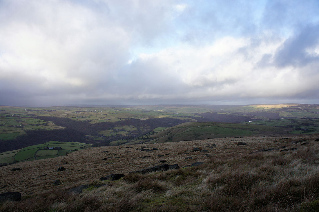
The first view down into Calderdale and Todmorden
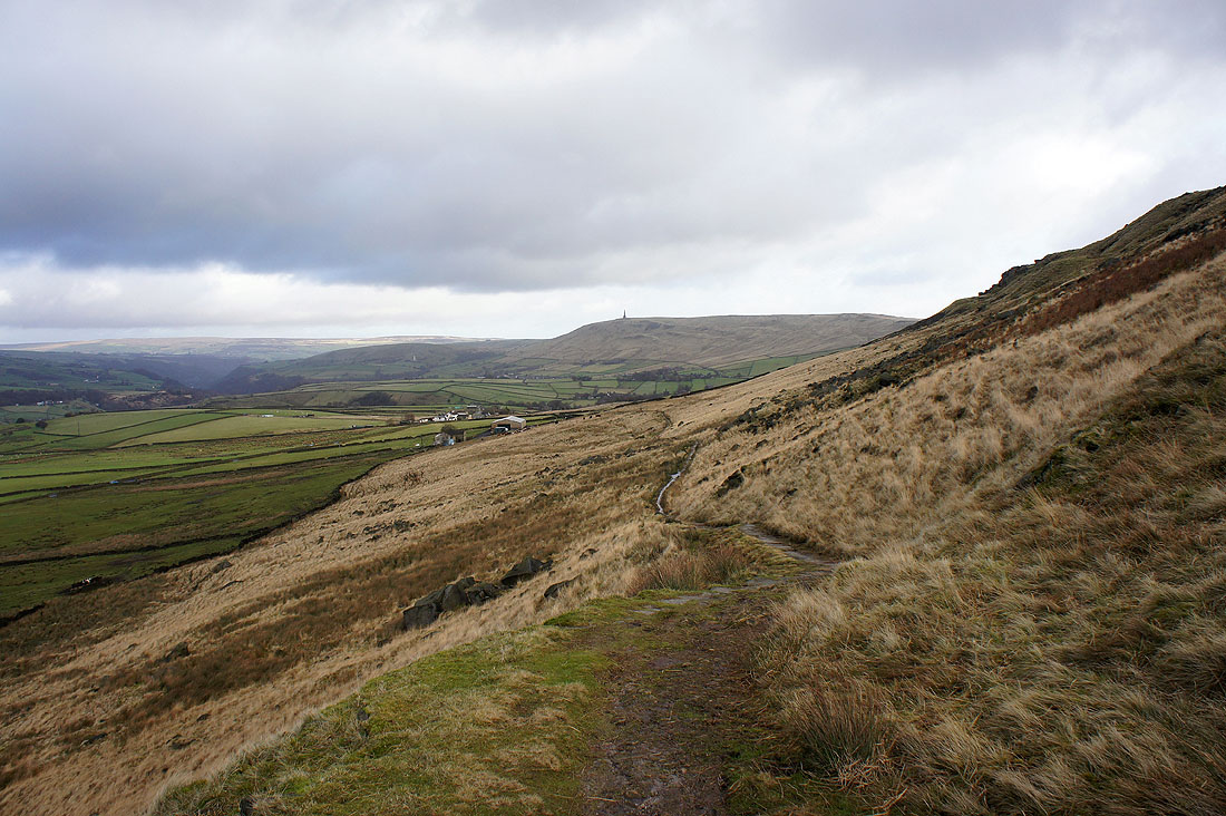
Looking back from the Pennine Bridleway with the Stoodley Pike monument in the distance
I'm about to leave the Pennine Bridleway and head up onto the moor. Looking south down the Summit gorge.
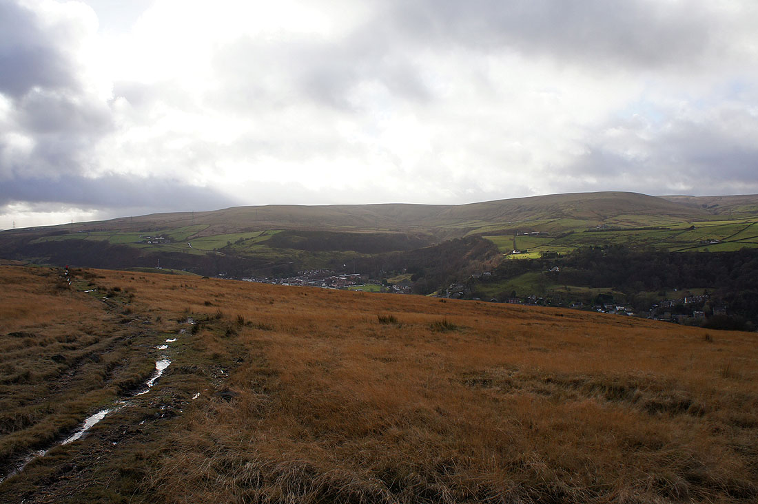
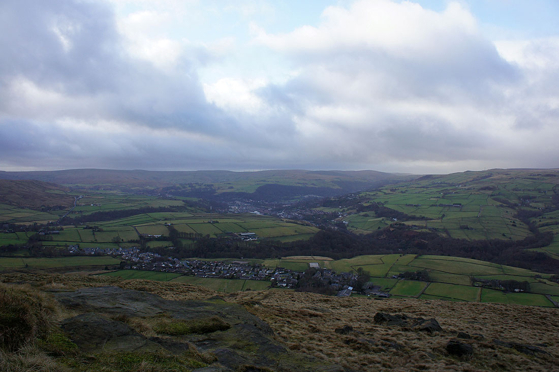
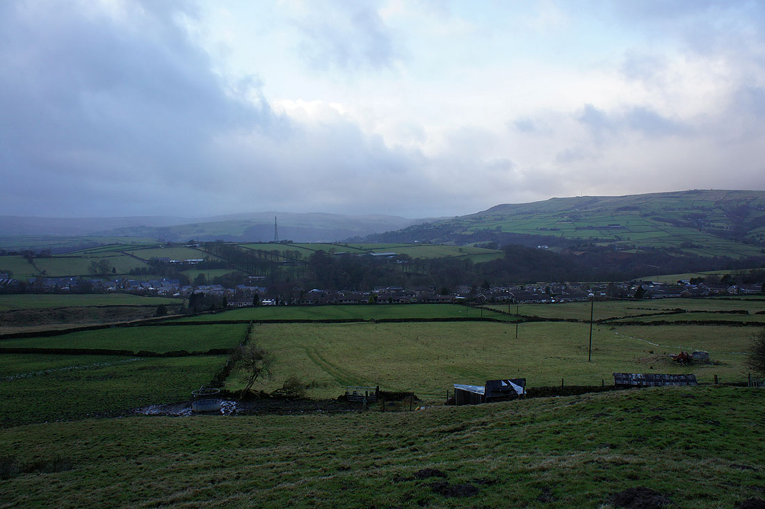
The village of Walsden in the valley below with Ramsden Wood behind
The valley opposite carries the road over the moors to Rossendale
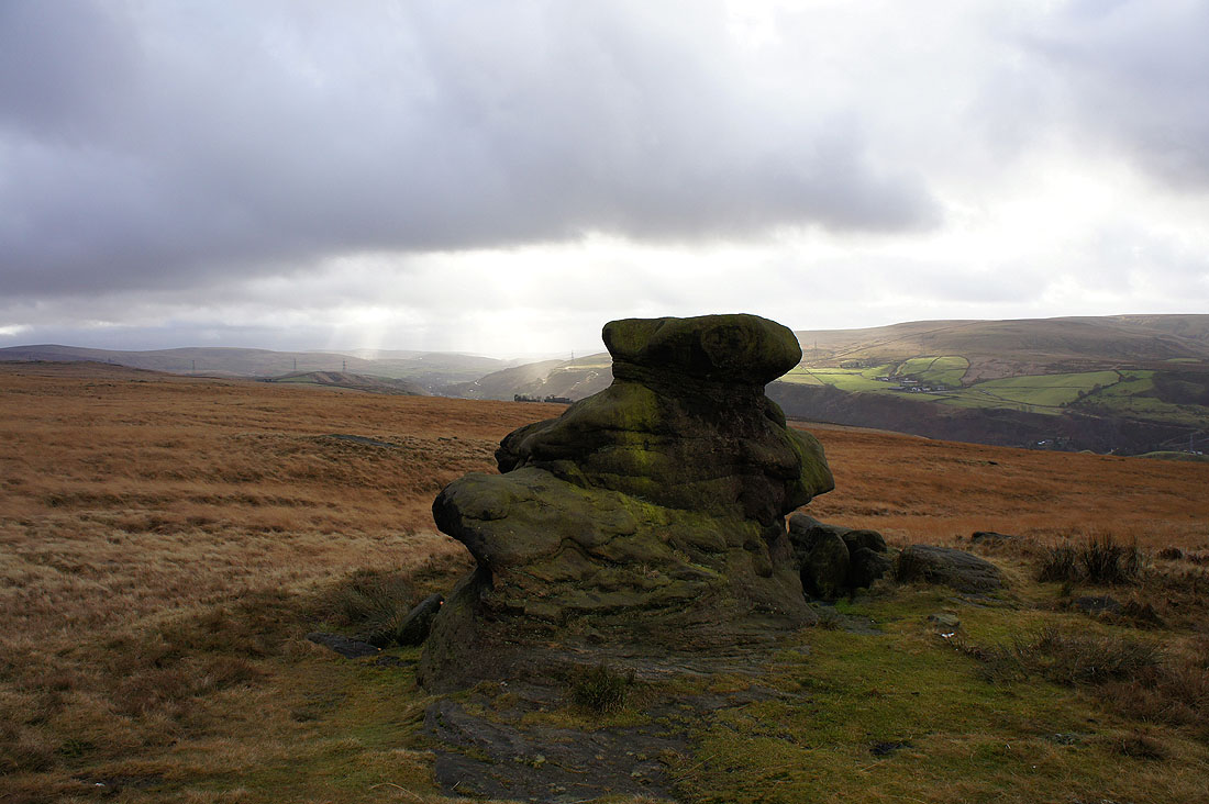
The Basin Stone. So called because of the depression in the top that holds water.
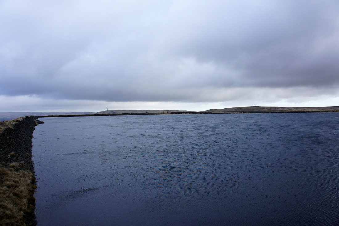
By Gaddings Dam and it's very windy
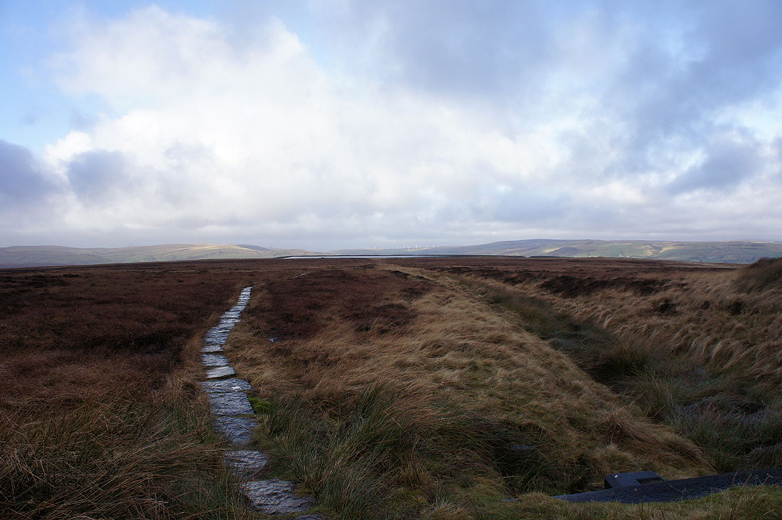
Thank goodness for flagged paths. I followed this from the dam to join the Pennine Way to Stoodley Pike.
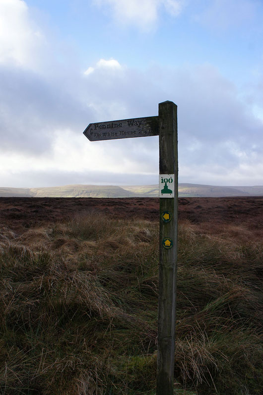
Pennine Way signpost. I'll be following the Way in the other direction though. The "100" marker refers to the Todmorden Centenary Way which shares the route for a while.
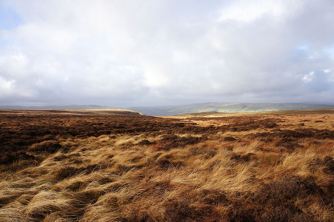
Pennine moorland from the Pennine Way
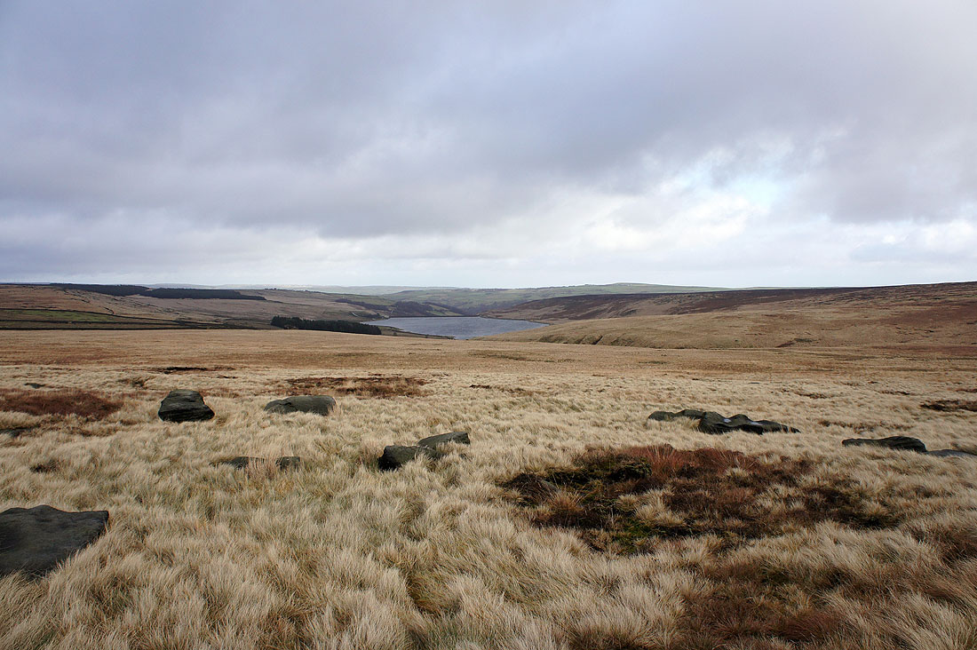
Withens Clough Reservoir
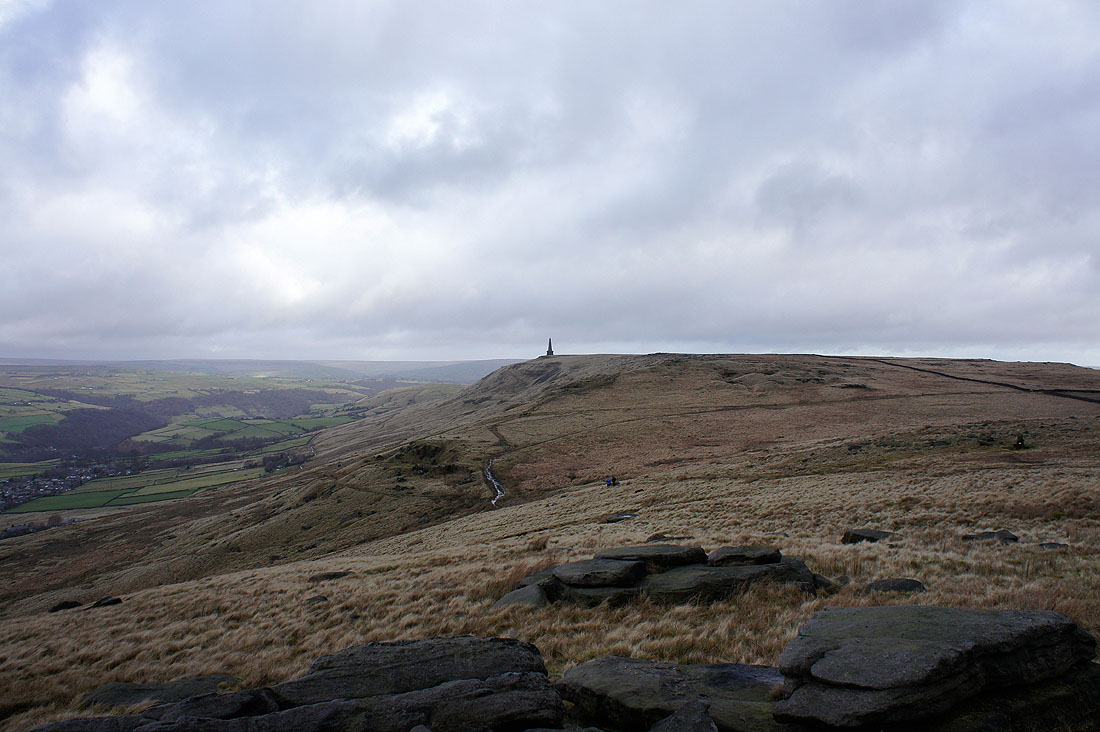
Stoodley Pike ahead
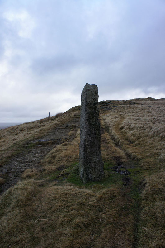
The guide post of Long Stoop
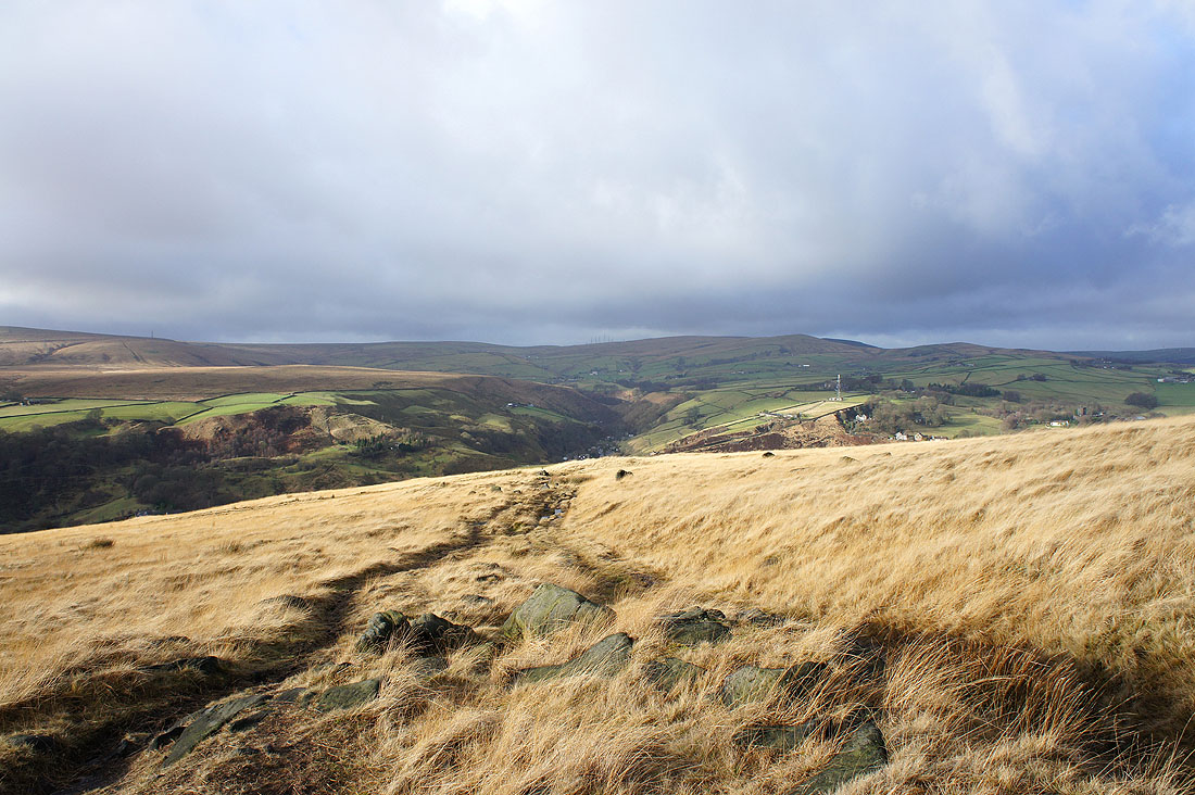
Calderdale from the path to Stoodley Pike
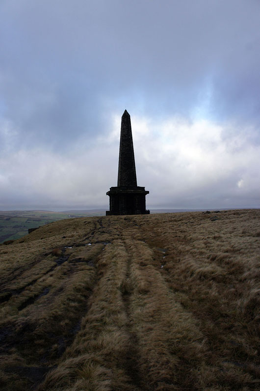
The Stoodley Pike monument
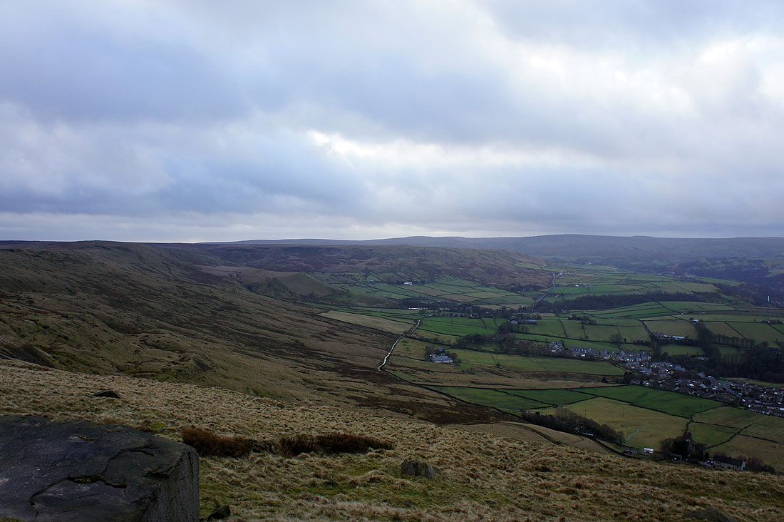
Views from Stoodley Pike. Looking down Calderdale towards the moors above Hebden Bridge and Colden Clough.
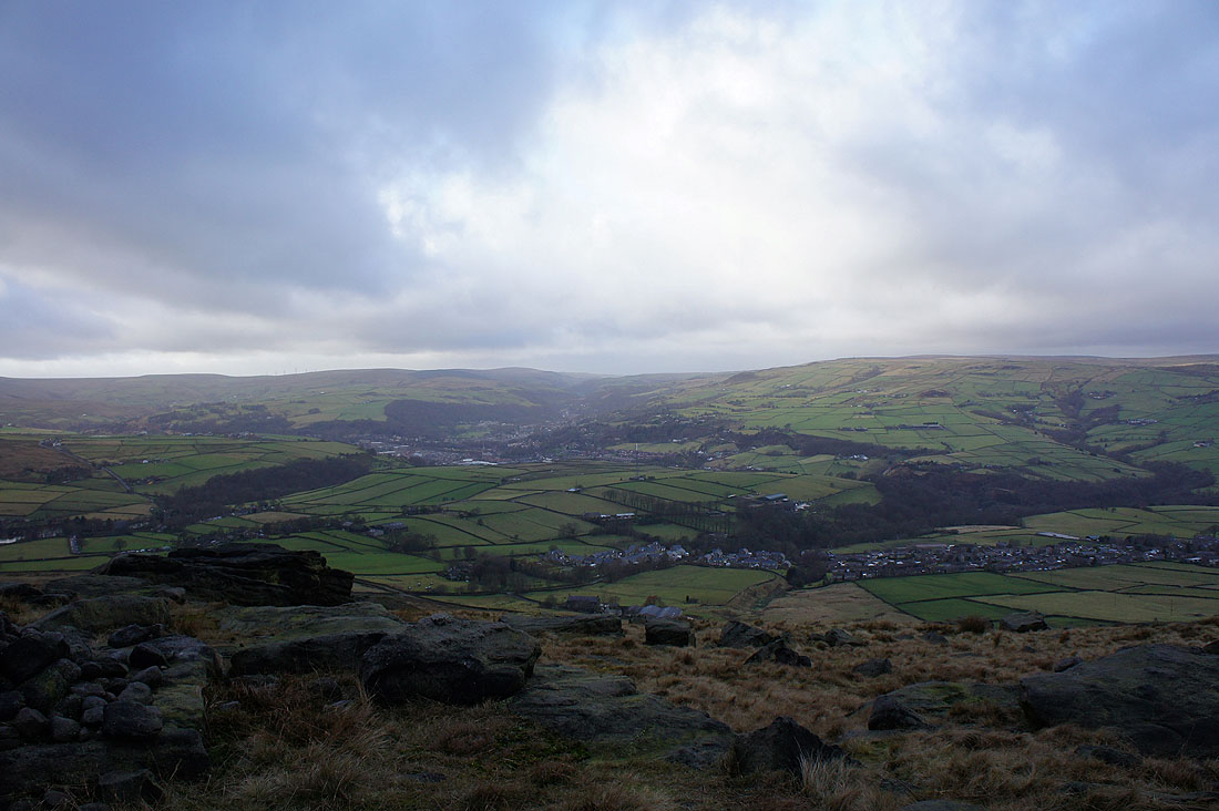
Todmorden and Calderdale below
Looking across to Langfield Edge. The bridleway that is my route back can be seen on the hillside below.
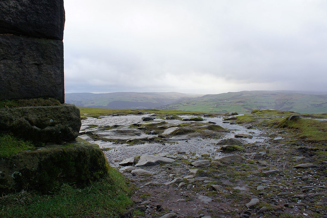
It was really windy up here as it whipped up over the edge of the moor. Windy enough for spray to be taken off the top of this puddle.
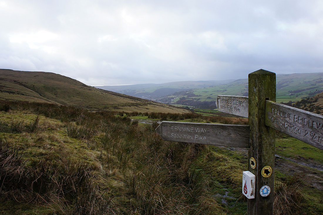
From Stoodley Pike I continued on the Pennine Way until it reached the Pennine Bridleway, which will take me back to Lumbutts
One last shot across Calderdale
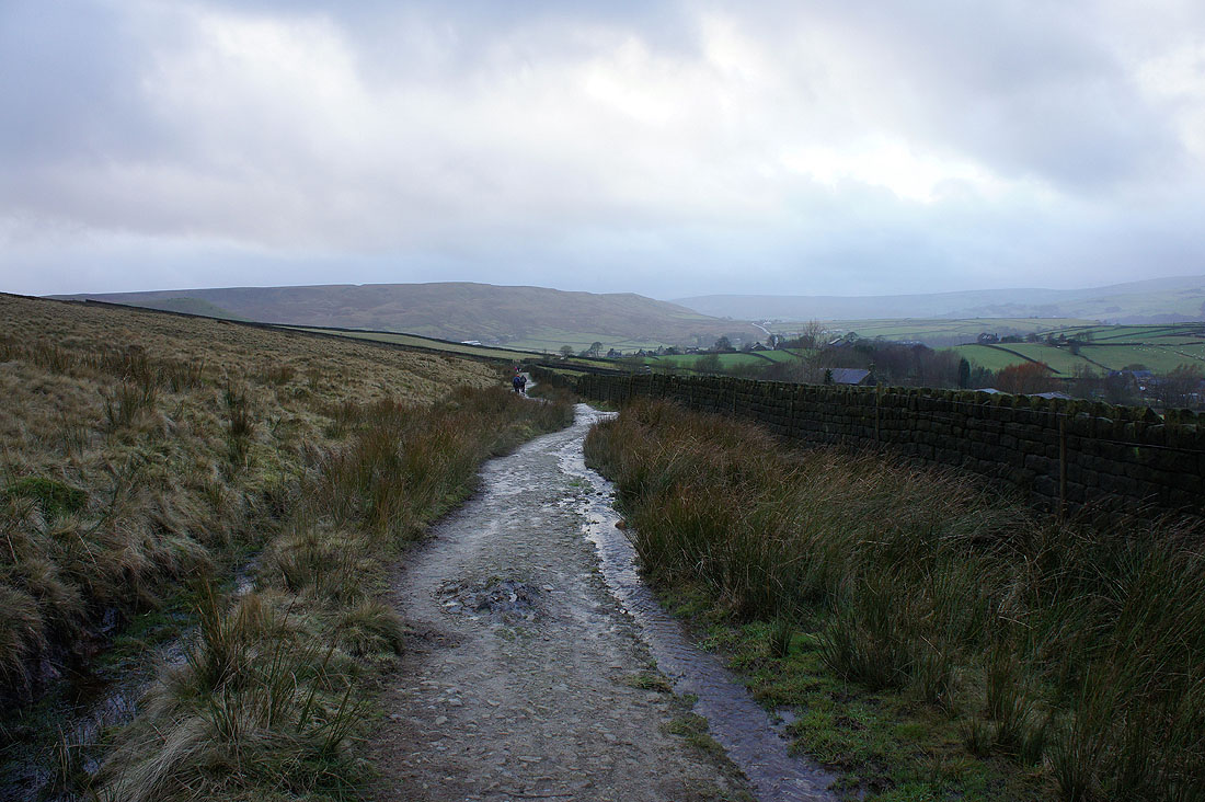
On the track of London Road back to Lumbutts