1st January 2016 - Lantern Pike & Coombes Edge
Walk Details
Distance walked: 8.6 miles
Total ascent: 1603 ft
OS map used: OL1 - The Peak District, Dark Peak area
Time taken: 5 hrs
Route description: Lane off Monk's Road-Pennine Bridleway-Lantern Pike-Wethercotes-Rowarth-Coombes Edge-Monk's Road-Cown Edge-Rocks Farm-Higher Plainstead Farm-Lane road off Monk's Road
With a forecast of poor weather for the weekend I decided to make the most of what wasn't exactly great weather today. The skies were pretty grey for most of the day ahead of advancing rain but a bit of weak hazy sunshine did try to brighten the scene. A strengthening wind was the main reason for choosing the route that I did, as it kept to a relatively low level and avoided the high moors. By the time I finished the walk it was blowing a gale. Still, it was good to get out and get some fresh air for a last time during the Christmas/ New Year break before heading back to work and that's my first walk of 2016 under my belt.
I started the walk from a lane just off the Monk's Road above Charlesworth where there's room to park on the verge. I followed the lane south (which is part of the Pennine Bridleway) and then when the Pennine bridleway left it I kept on the bridleway past Matleymoor Farm and Bullshaw Farm towards Lantern Pike. I did leave the bridleway briefly to make a detour to the summit of Lantern Pike. After making my way down from Lantern Pike it was back onto the bridleway until I reached the lane at Cliff. Here I turned right and walked up the lane and then right again onto the byway past Wethercotes to Rowarth. My route through Rowarth took me past the Little Mill Inn and along a bridleway to the top end of the hamlet, where a footpath heads uphill for Cown Edge. When I reached the Pennine Bridleway that crosses my route here I made a detour to see Robin Hood's Picking Rods and then after retracing my steps I walked north along Coombes Edge and out to Monk's Road. There was then a short walk south along the road until I reached the footpath that heads steeply up onto Cown Edge. I followed the path through the disused quarries before heading down to Rocks Farm. A footpath past Higher Plainstead Farm and across a field brought me back to where I was parked.
Route map
© Crown copyright. All rights reserved. License number PU 100034184.
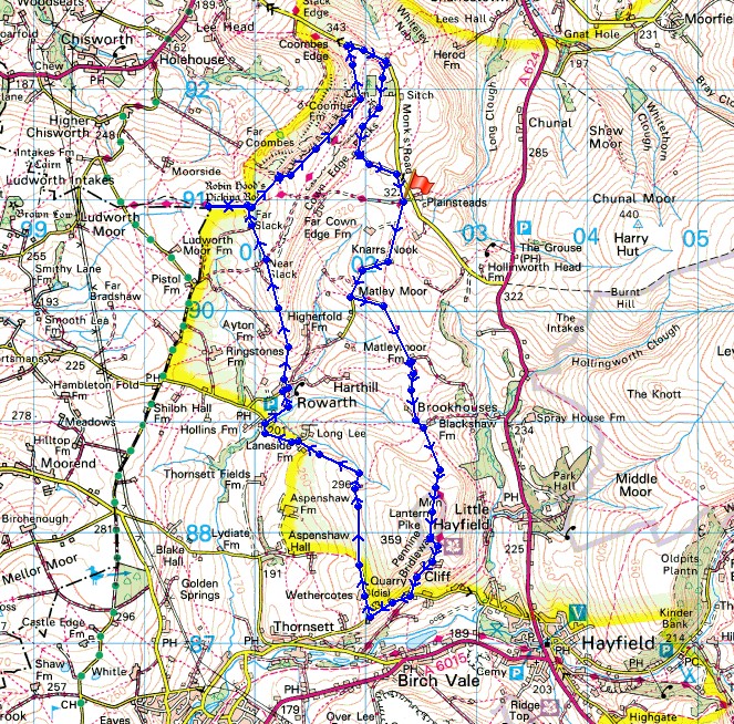
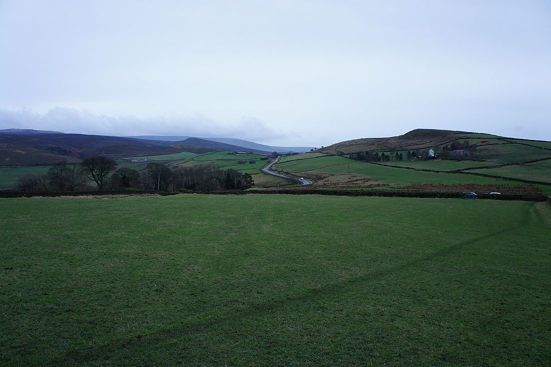
Cown Edge as I set off. My walk will finish there but for now I'm going to head away from them.
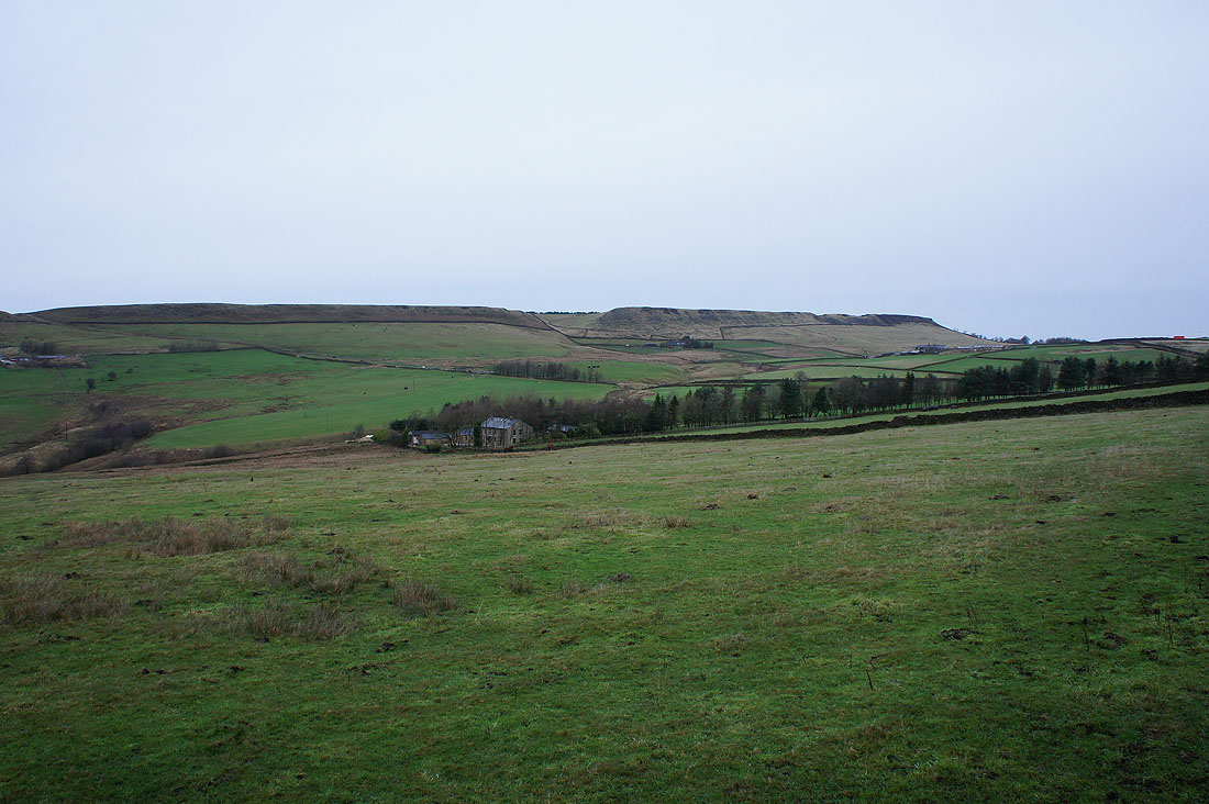
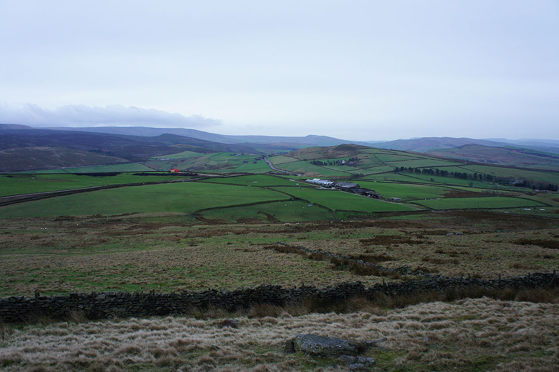
As I head down the road I can make out Whaley Moor in the distance
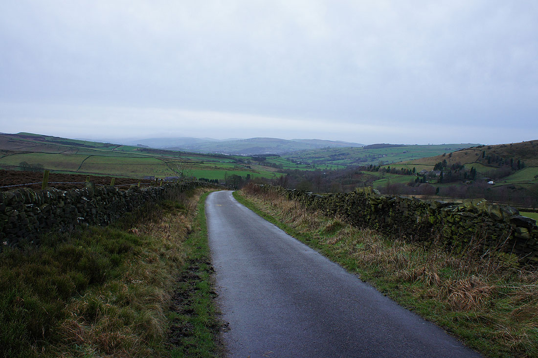
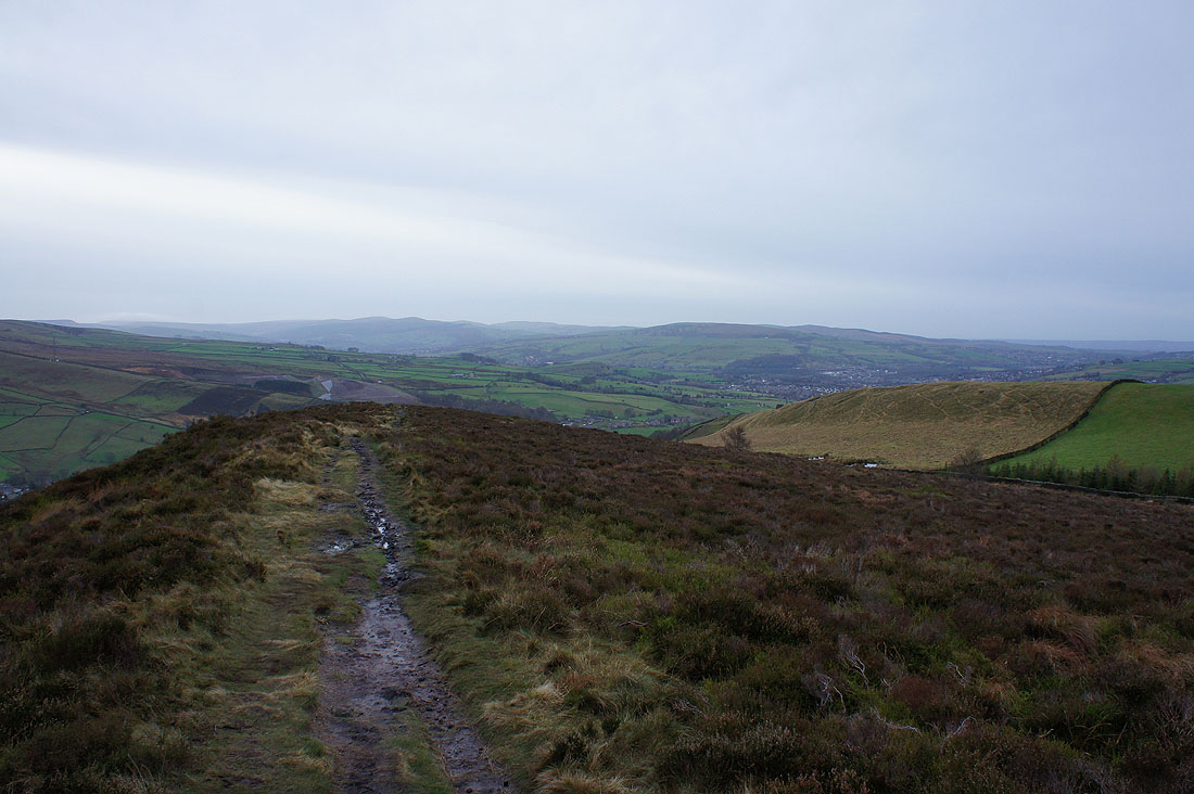
Off the road and on the bridleway to Lantern Pike
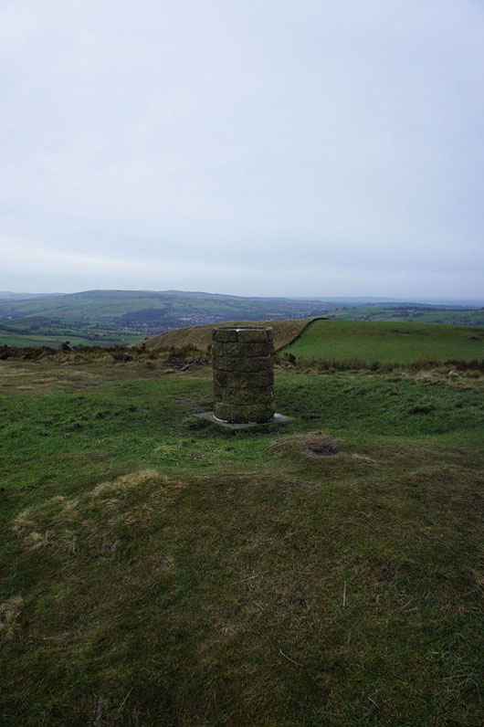
By the toposcope on the summit of Lantern Pike
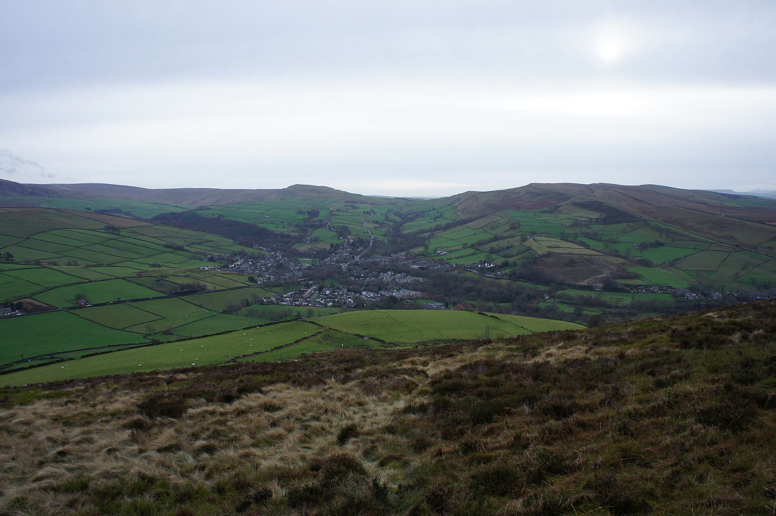
To the east, Little Hayfield in the valley below, then Middle Moor with the western flank of Kinder Scout beyond
To the southeast, Mount Famine, Hayfield and Chinley Churn
To the south the moors above the Goyt Valley, such as Shining Tor
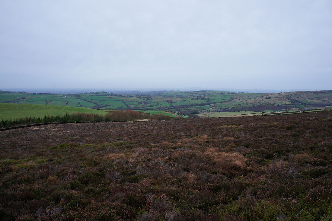
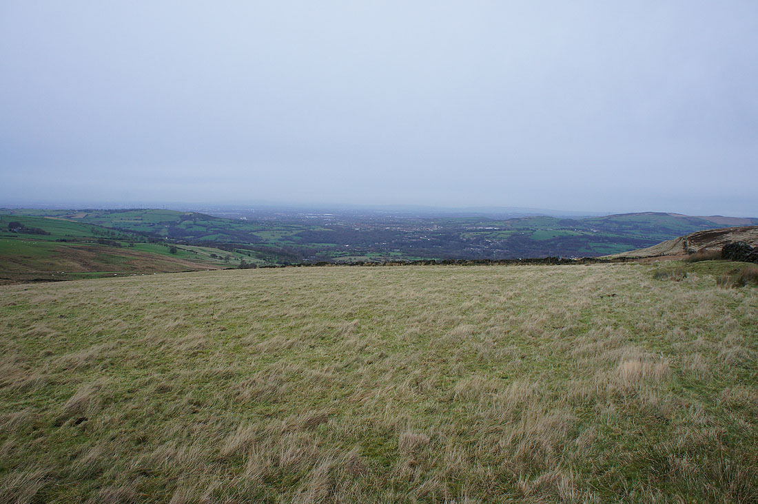
The urban sprawl of Manchester out to the west
and finally to the north, Cown Edge with the moors above Longdendale in the distance
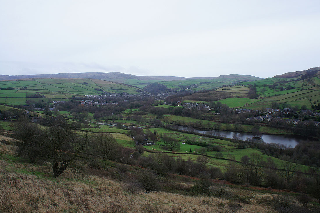
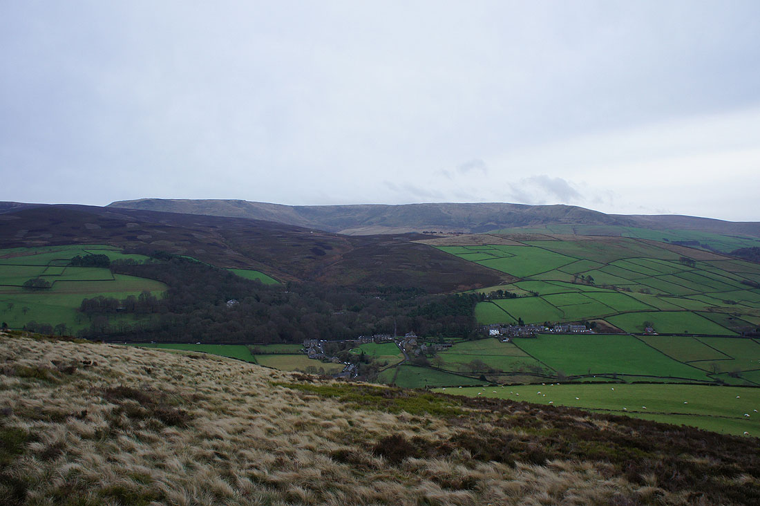
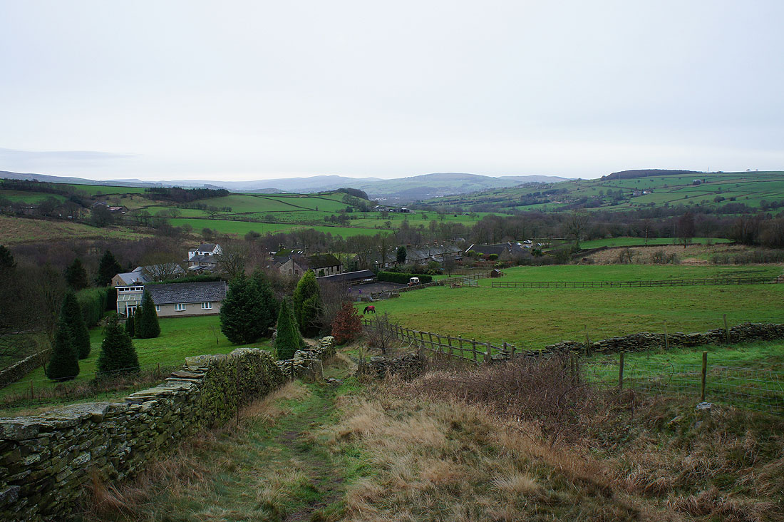
Hayfield and a reservoir by the River Sett as I reach the road below Lantern Pike
Looking back as I follow the bridleway to Rowarth. The sun is trying to shine through the cloud but isn't having much success.
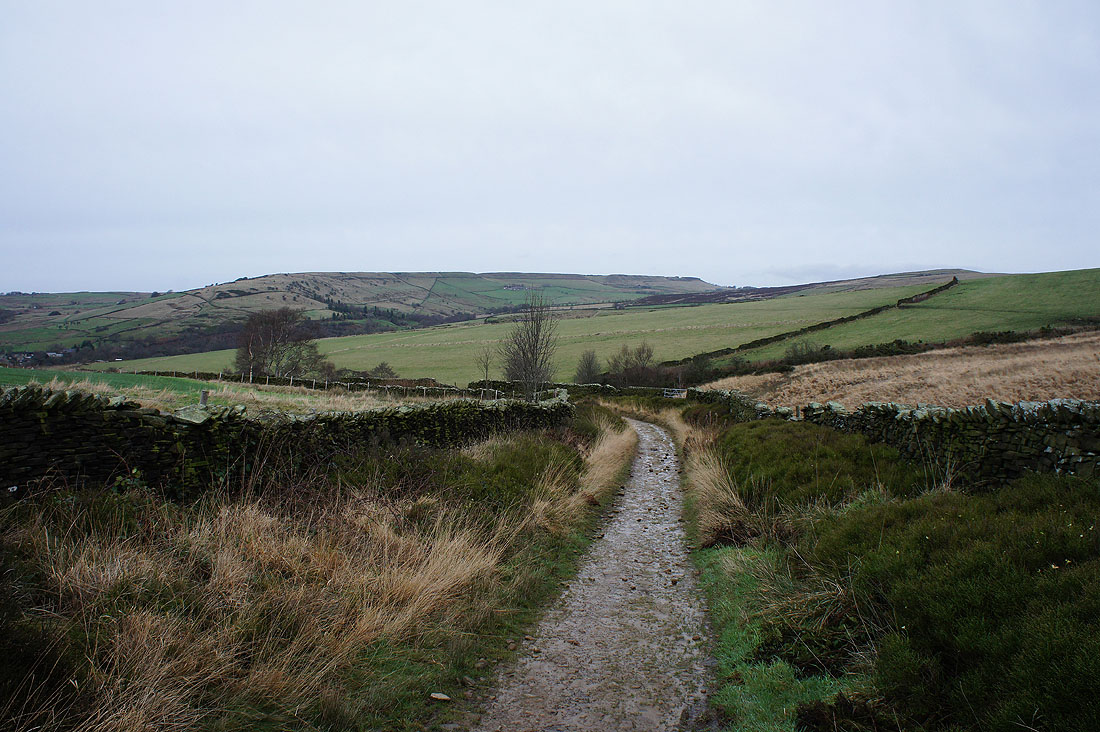
Cown Edge now in view ahead
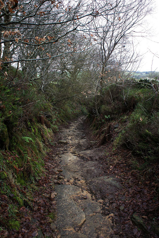
Erosion has washed all the top soil away on the bridleway as it drops down into Rowarth
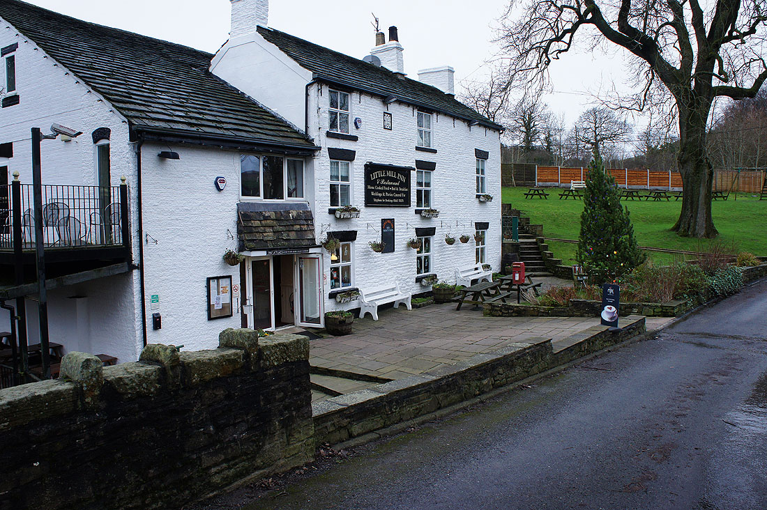
The Little Mill Inn in Rowarth
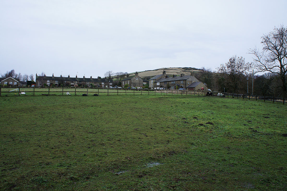
Rowarth with the slope up onto Cown Edge behind
Looking back down on Rowarth
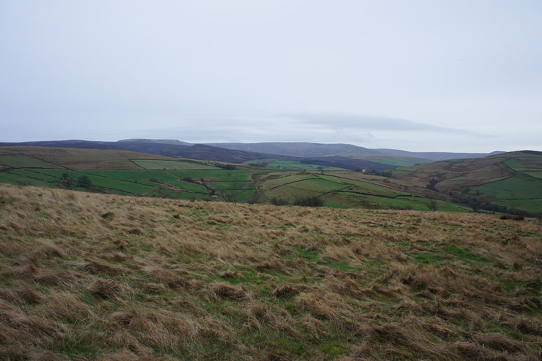
Kinder Scout makes an appearance to my right as I head up to Cown Edge
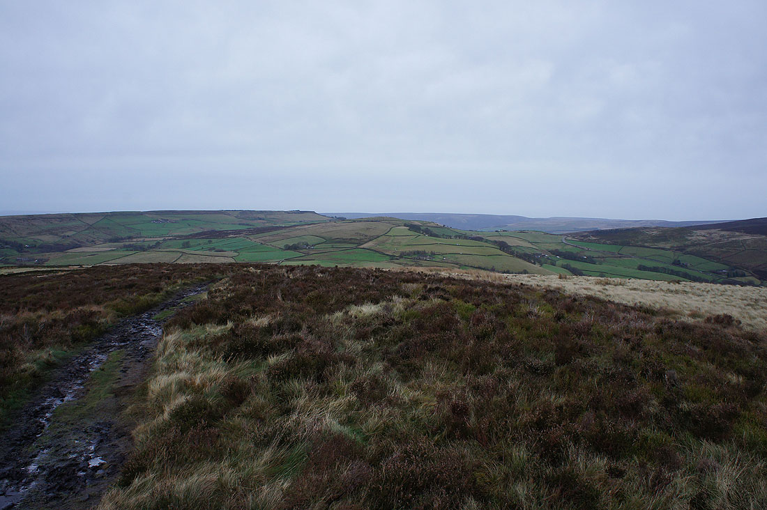
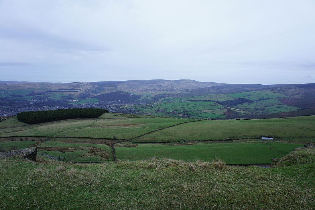
The West Pennine Moors in the distance as I reach the top of the climb
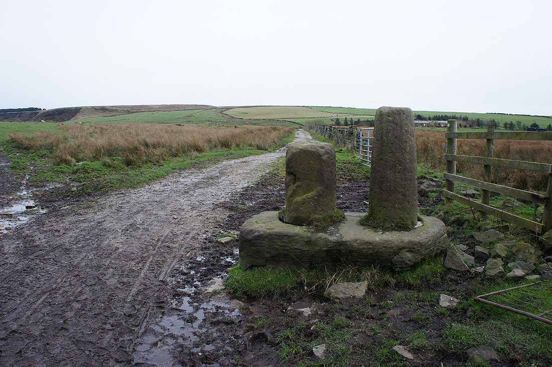
Robin Hood's Picking Rods. They're on the map and just off my route so I paid them a visit. I've got no idea if Robin Hood did have anything to do with them.
Arriving at the southern end of Coombes Edge
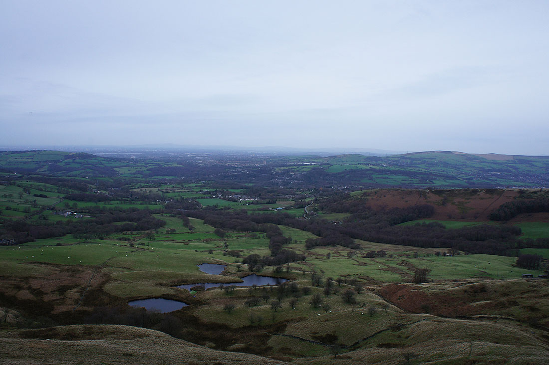
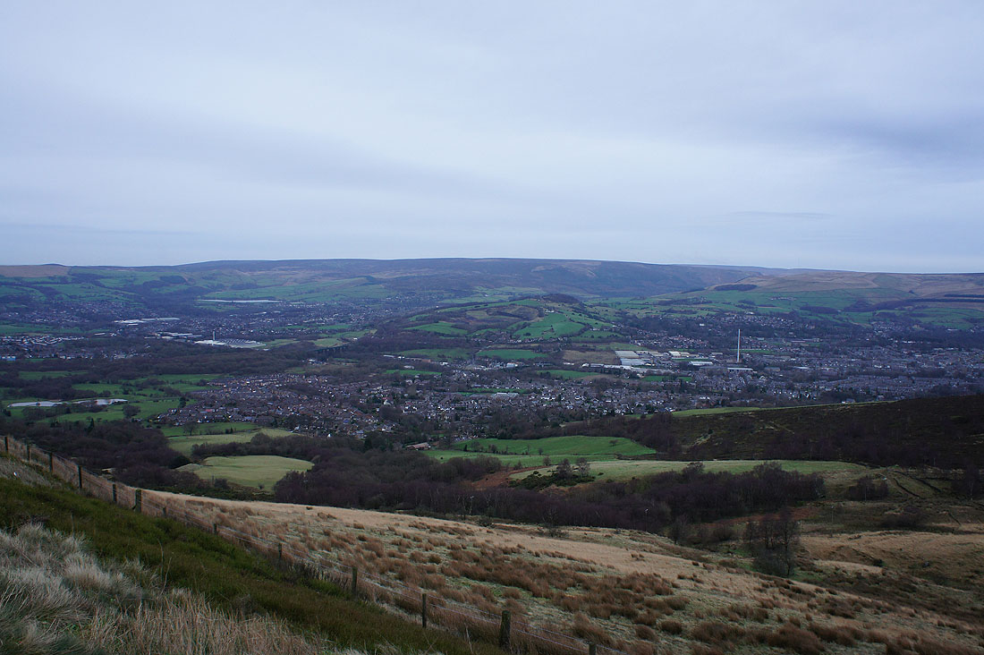
Looking out across Tameside and north Manchester to the distant West Pennine Moors
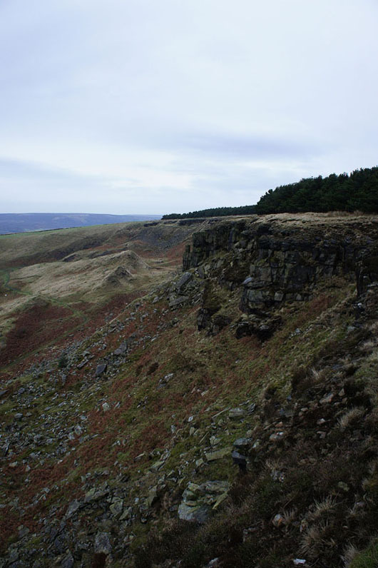
North along Coombes Edge
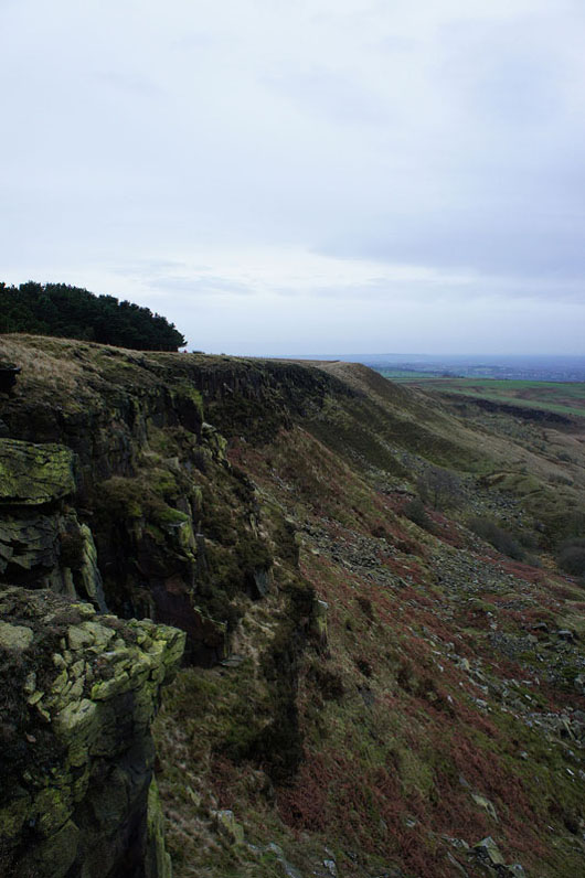
and south along Coombes Edge
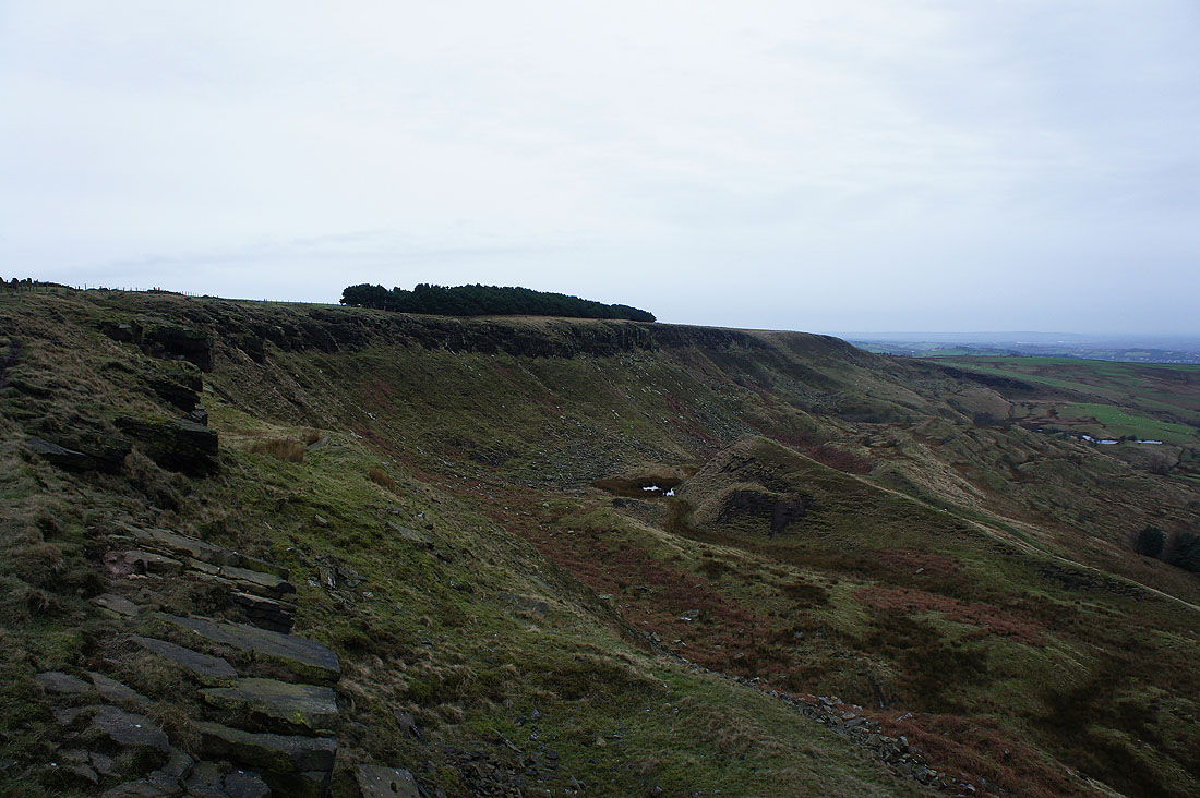
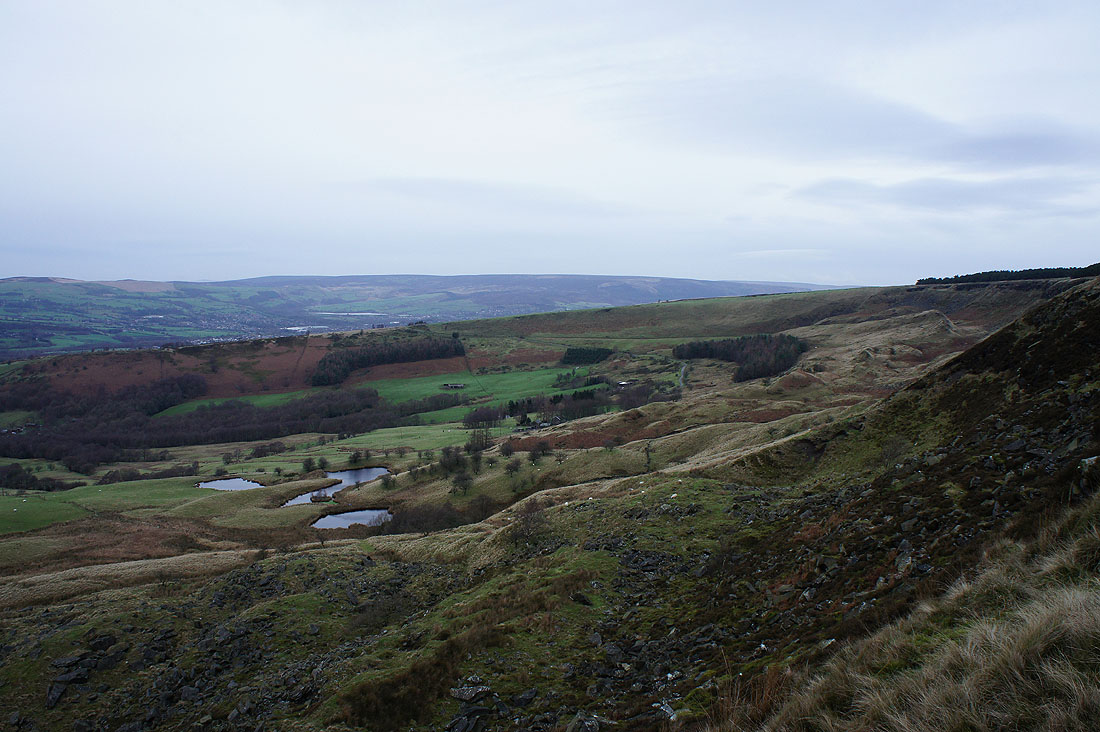
The whole of Coombes Edge with the landslip of Mares Back below
I've left Coombes Edge for a brief walk along Monk's Road where I took this shot from. Looking across Glossop to the moors that rise to Black Hill.
Bleaklow from a now very windy Cown Edge
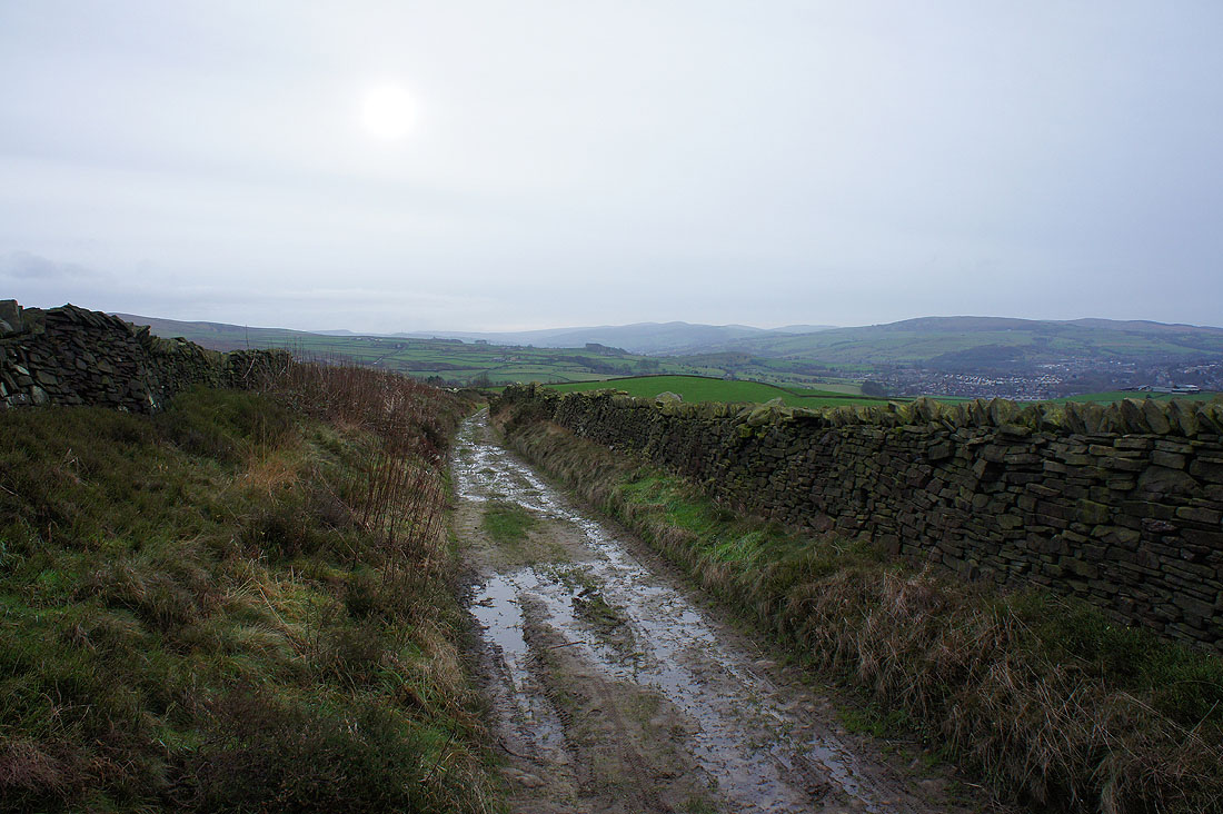
I'm glad the end of the walk is in sight. It's blowing a gale and it looks like rain isn't too far away.
and I'm back. My car is parked just the other side of that wall.