1st January 2019 - Plover Hill and Penyghent
Walk Details
Distance walked: 8.2 miles
Total ascent: 1802 ft
OS map used: OL2 - Yorkshire Dales, Southern & Western areas
Time taken: 6.5 hrs
Route description: Horton-Pennine Way-Hull Pot-Horton Moor-Foxup Moor-Plover Hill-Penyghent-Brackenbottom-Horton
The start of a new year has seen a change in the weather with the grey and gloomy skies of Christmas replaced with sunny ones, which are much more to my liking. I decided to head for Horton-in-Ribblesdale and do a route that I've followed a few times now, taking in Plover Hill and Penyghent. I opted to take the bridleway across Horton and Foxup Moors to ascend Plover Hill first. The northerly wind was still clearing the cloud away, so going that way gave it more time to do so. It was a great day for being on the fells with lots of sunshine, improving visibility to give distant views and a great light for showing off the colours of the moors.
From Horton I set off by taking the trail of the Pennine Way up Horton Scar Lane. At the top of the track I left the trail for the bridleway to Foxup with a short detour to see Hull Pot first. I then followed the bridleway across Horton and Foxup Moors to where a fingerpost points the way for the path up Plover Hill. After climbing to the top of Plover Hill I followed the wall east from the top downhill until I could cross it and make my way back up to the summit cairn where I stopped to have lunch. Lunch had I made my south to the summit of Penyghent. I then made my descent down the steep nose of the hill before taking the path down to Brackenbottom and the lane back to Horton.
Route map
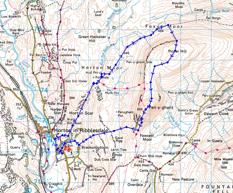
© Crown copyright. All rights reserved. License number PU 100034184.
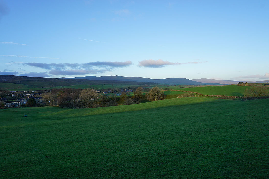
The sun rises over Ribblesdale as I leave Horton
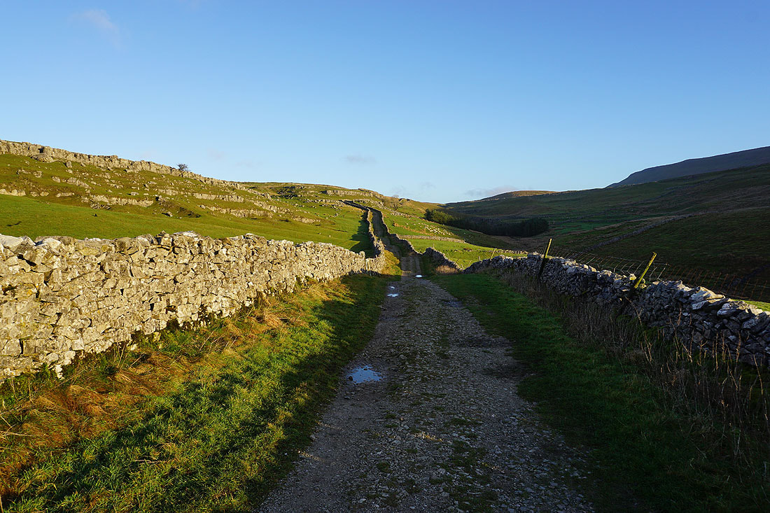
Heading up Horton Scar Lane
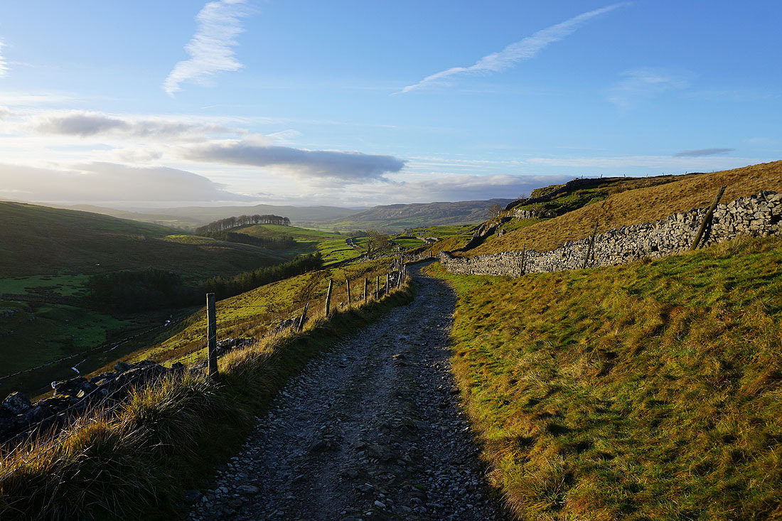
Looking back down Horton Scar Lane
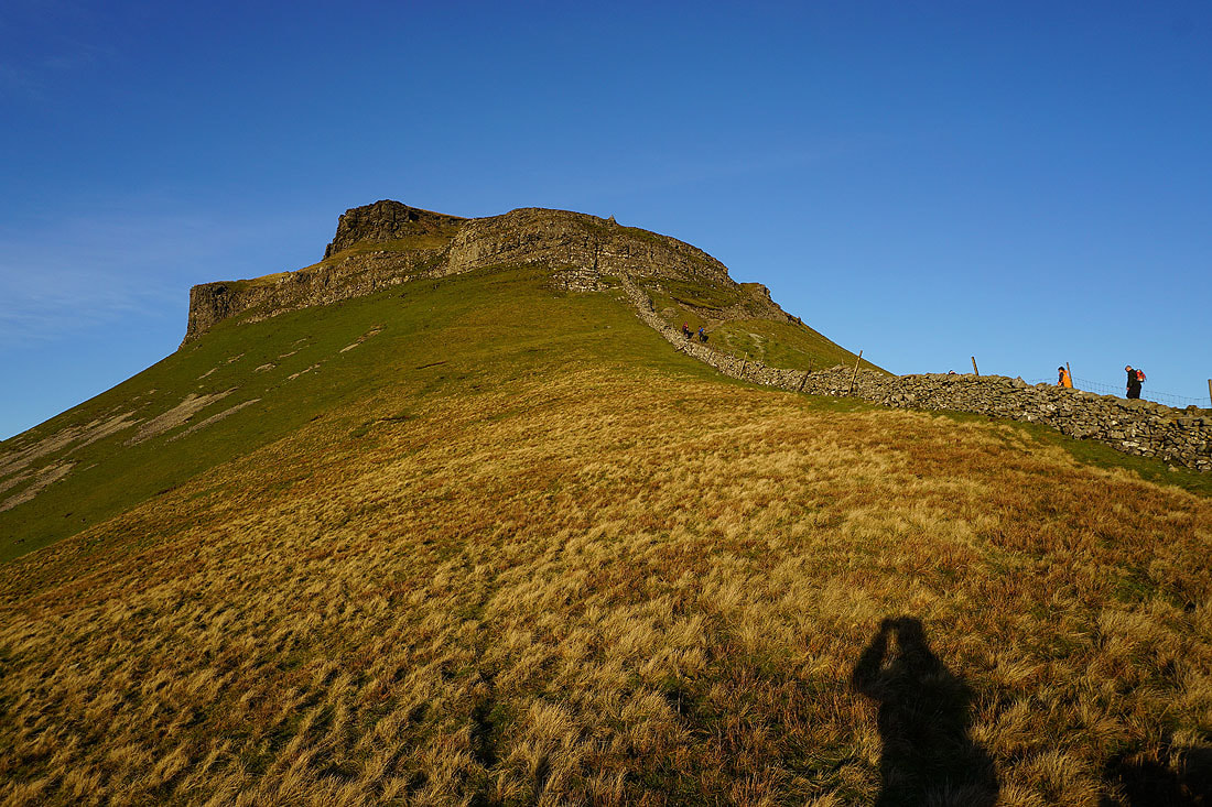
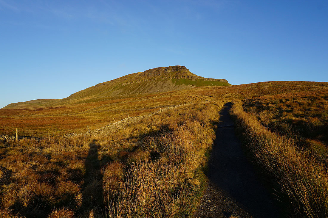
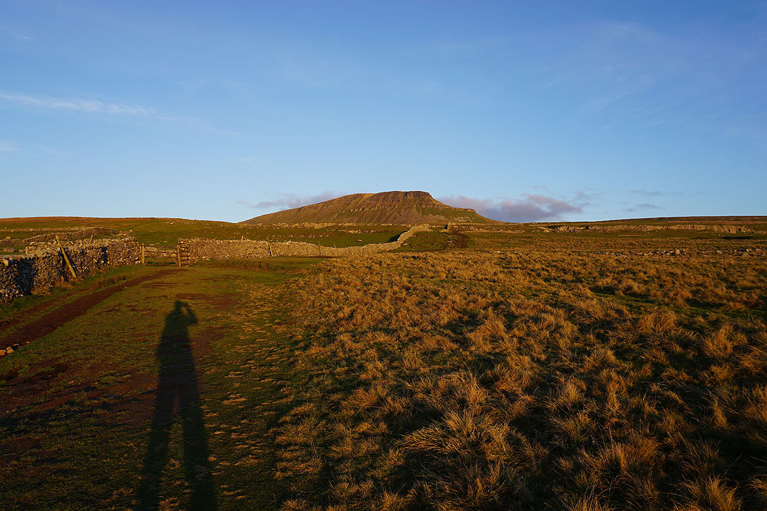
Penyghent above Horton Scar

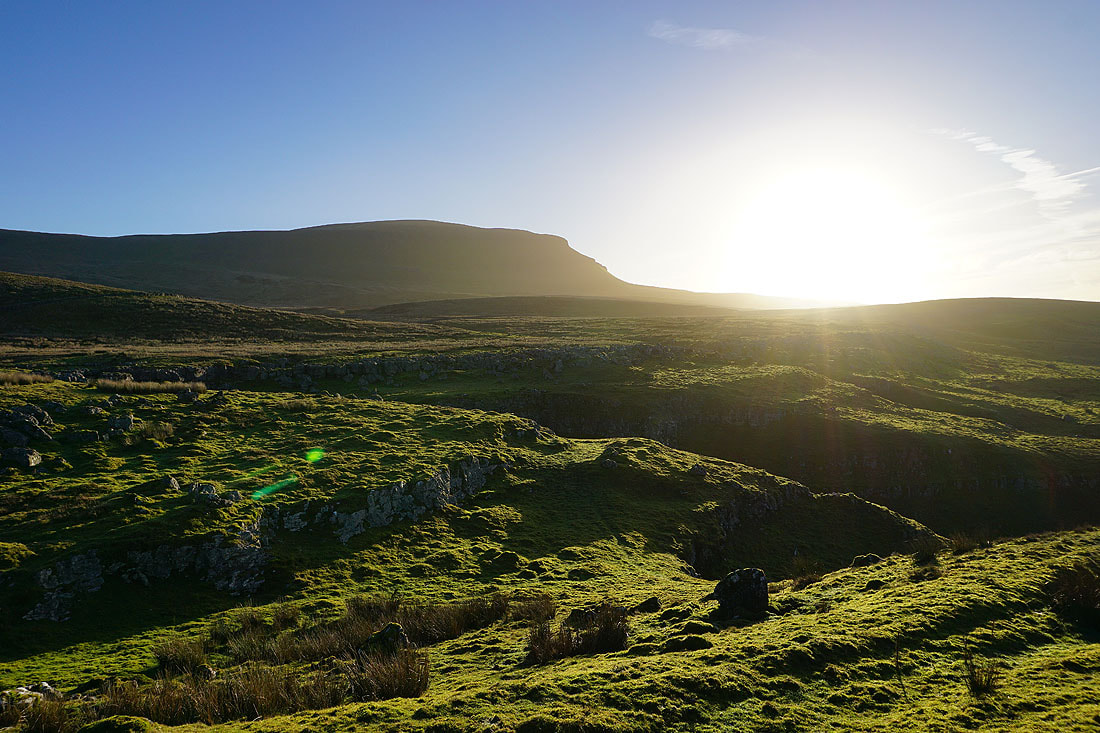
and this time above Hull Pot
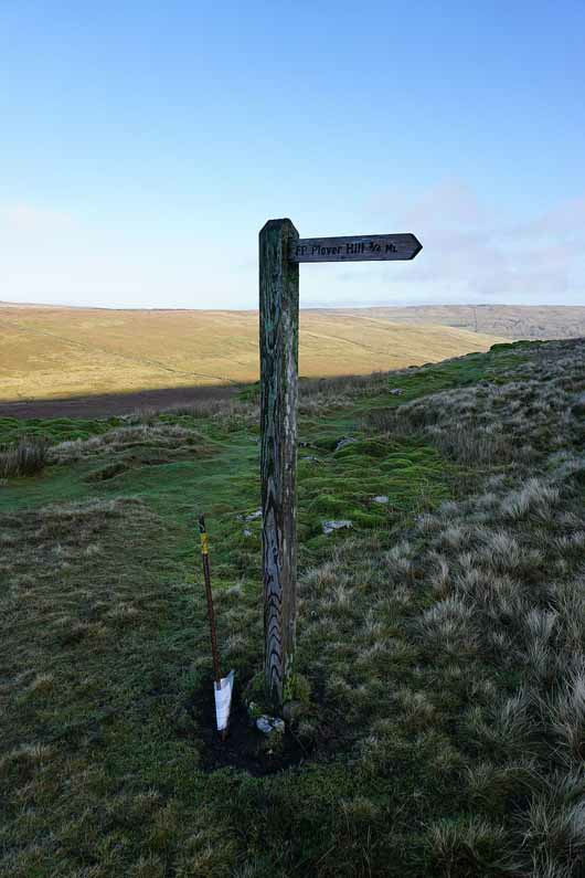
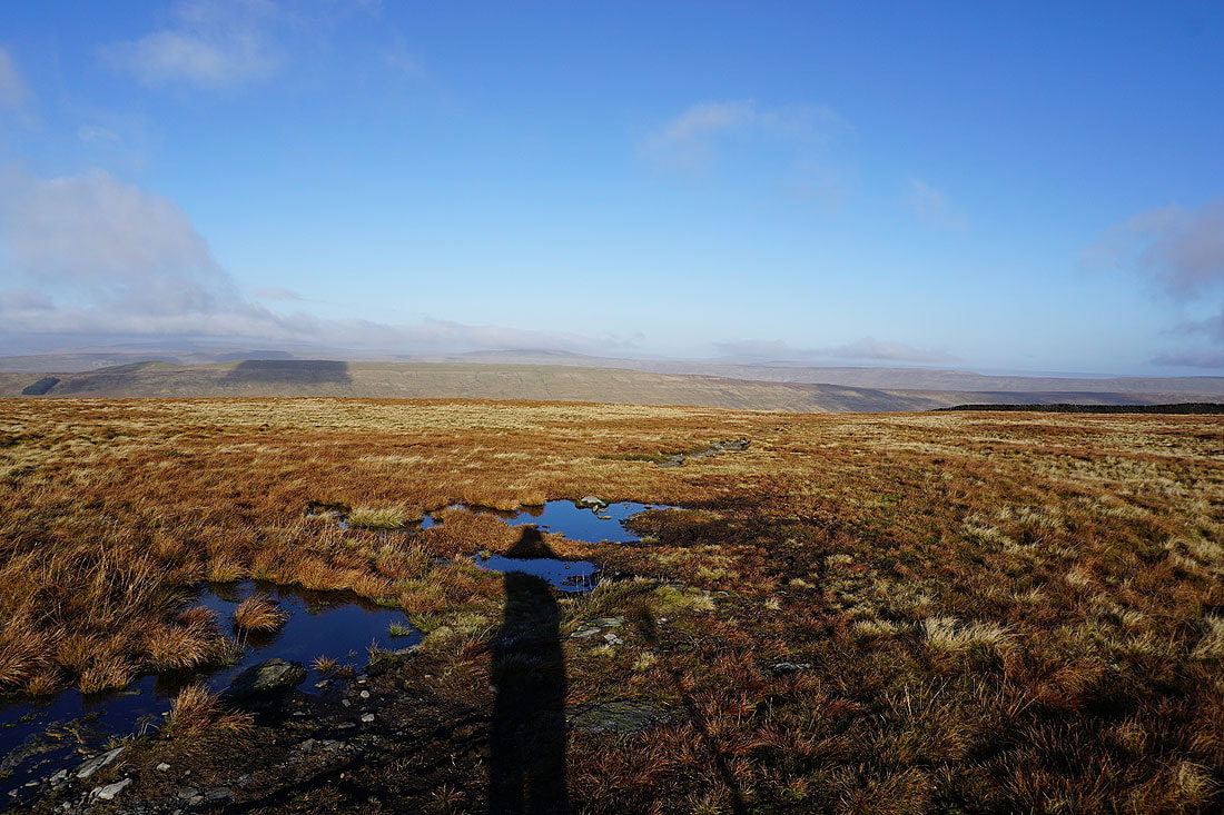
Looking back to the deep hole of Hull Pot as I take the bridleway to Foxup Moor
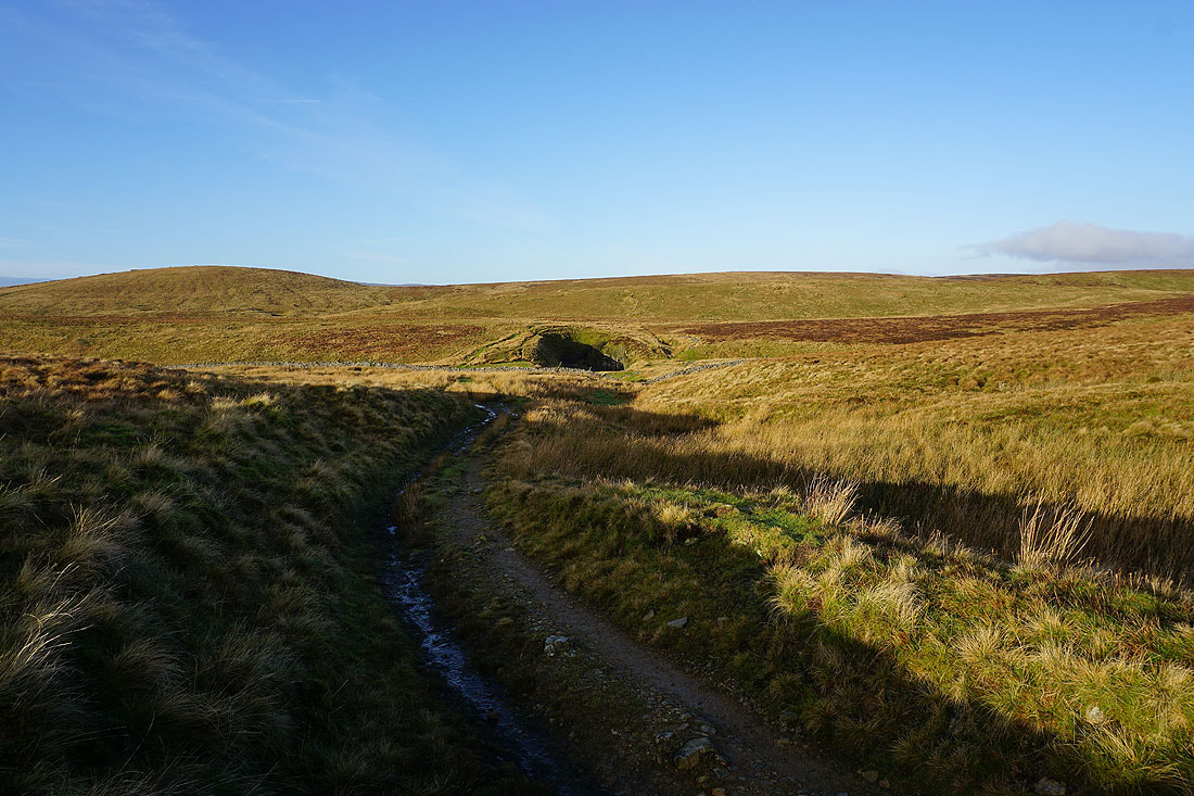
On the bridleway to Foxup Moor
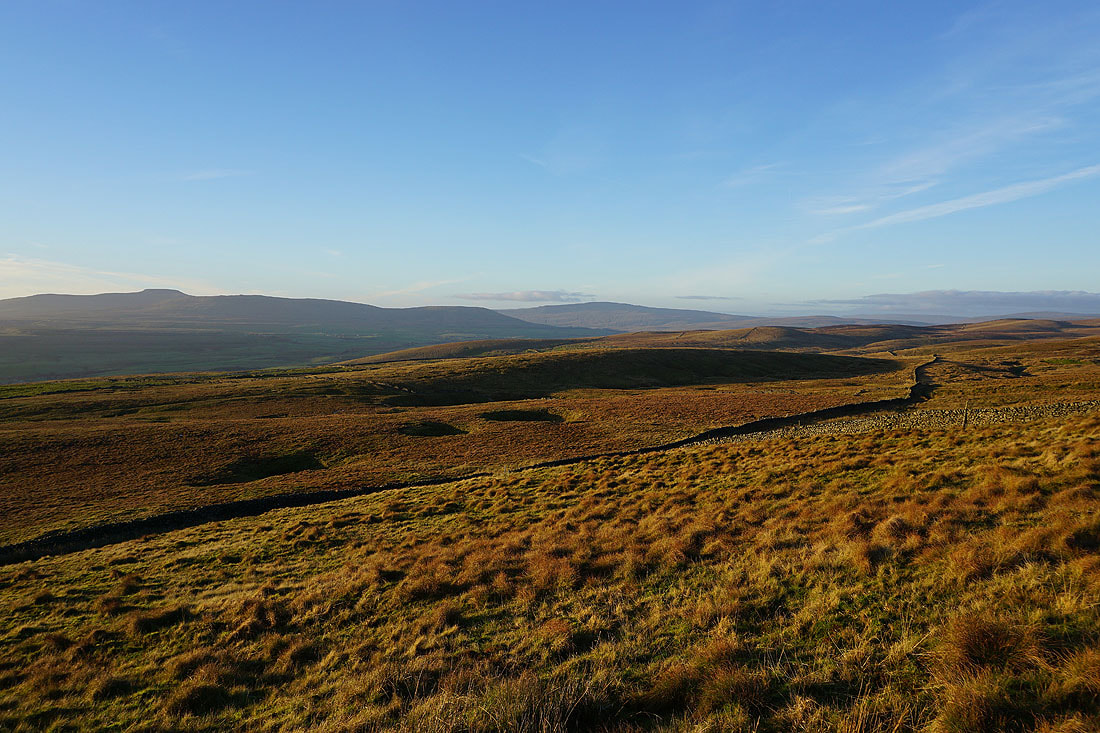
Looking back with Ingleborough in the distance..
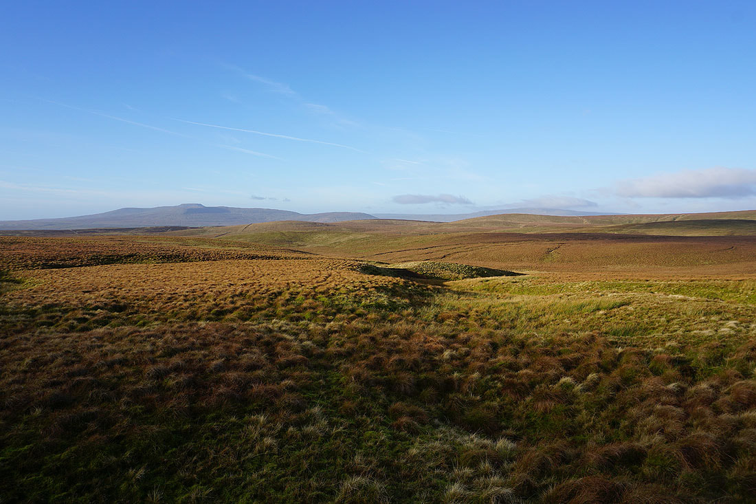
..then Ingleborough and Whernside
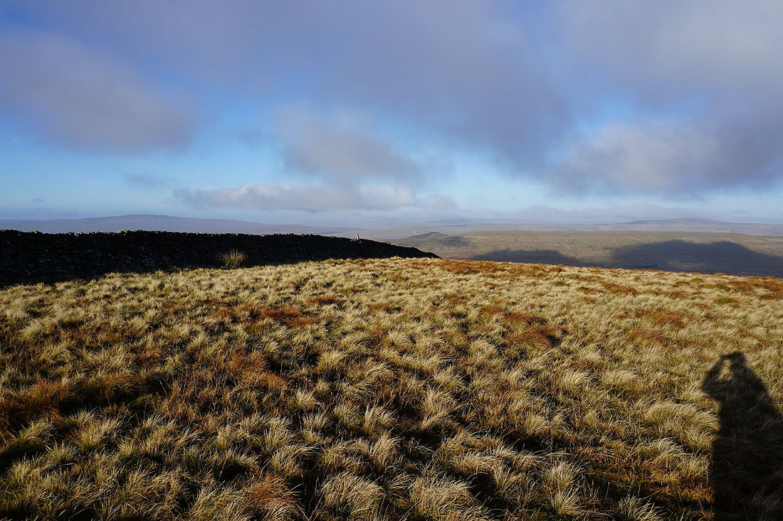
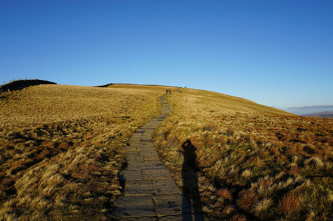
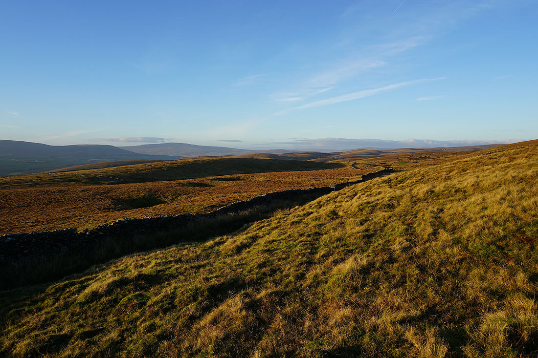
Time to start heading uphill
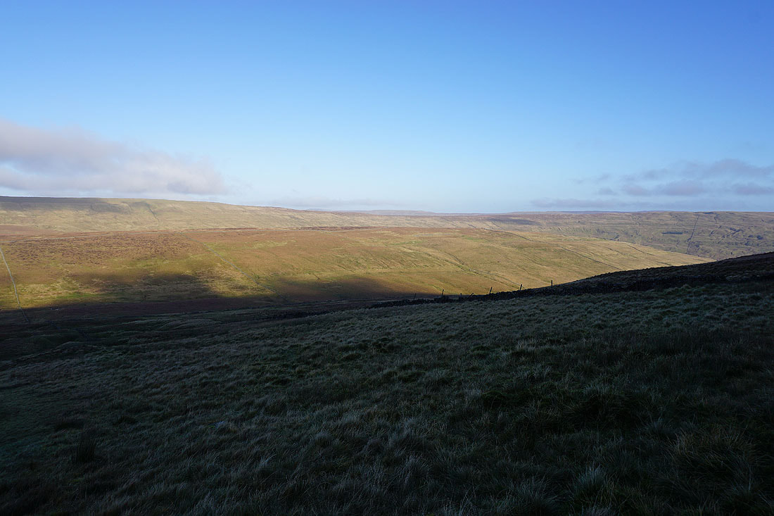
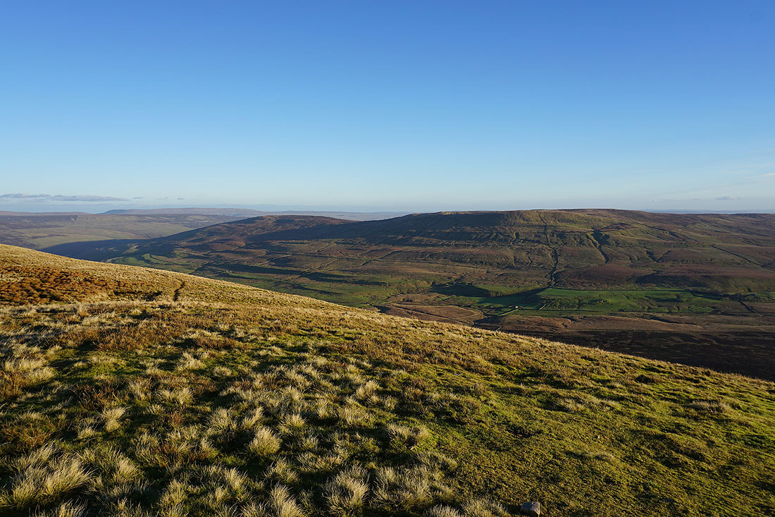
The view starts to open out to the north as I get higher, across to High Green Field Knott and Horse Head Moor
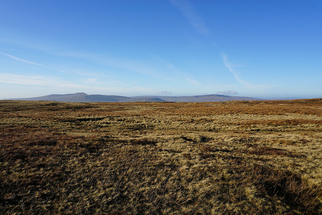
Ingleborough and Whernside from the northern edge of Plover Hill
Cloud on the top of Dodd Fell Hill to the north
It's quite atmospheric as patches of low cloud drift across just above me..
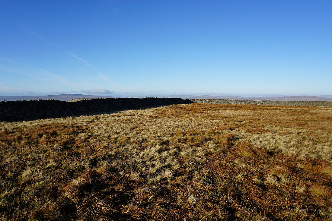
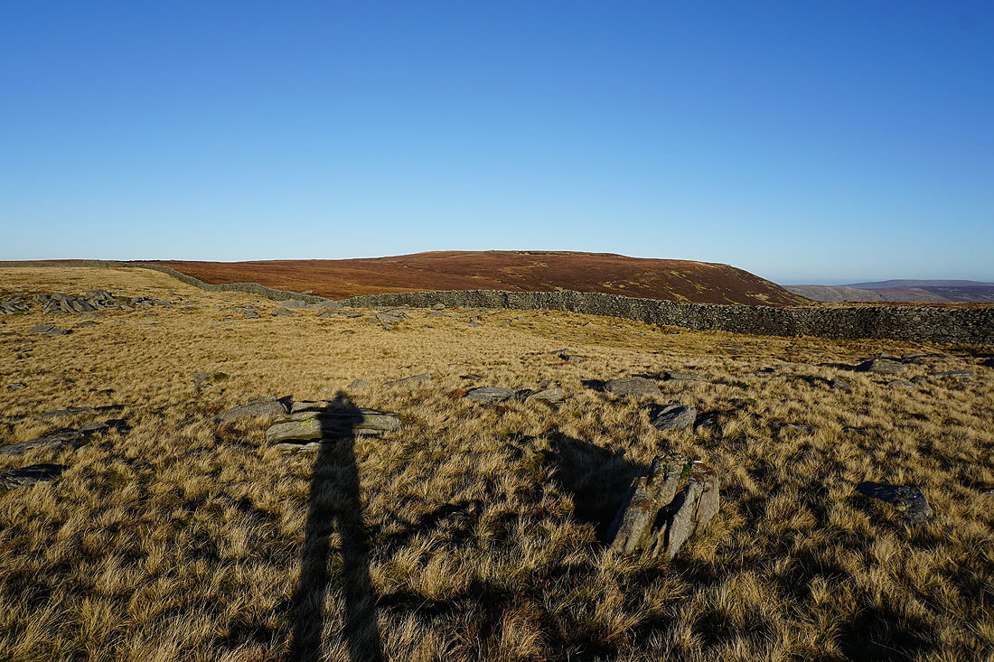
Birks Fell, Littondale and distant Buckden Pike and Great Whernside as I follow the wall east down the fell
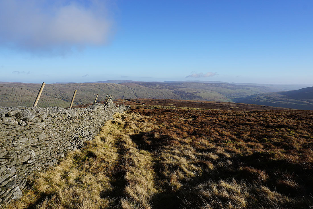
and the same again from the other side of the wall as I head back up to the top of Plover Hill
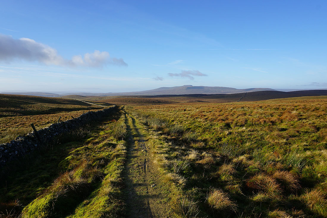
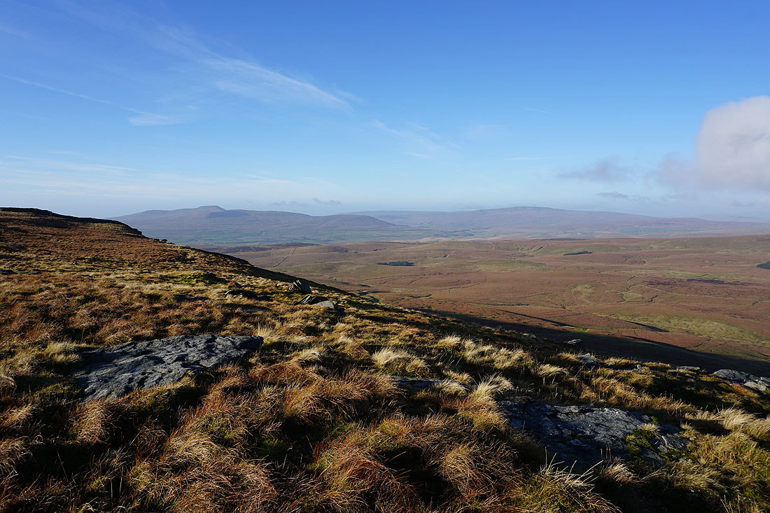
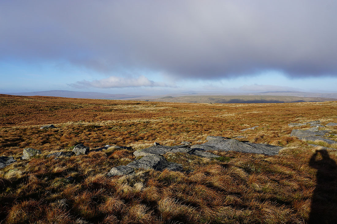
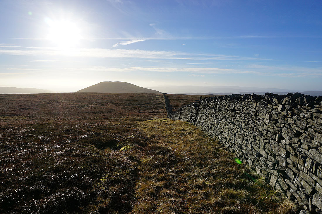
Fountains Fell on the left and the top of Penyghent on the right
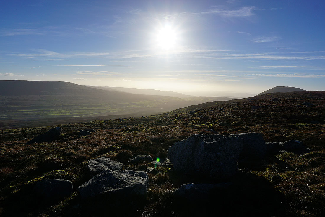
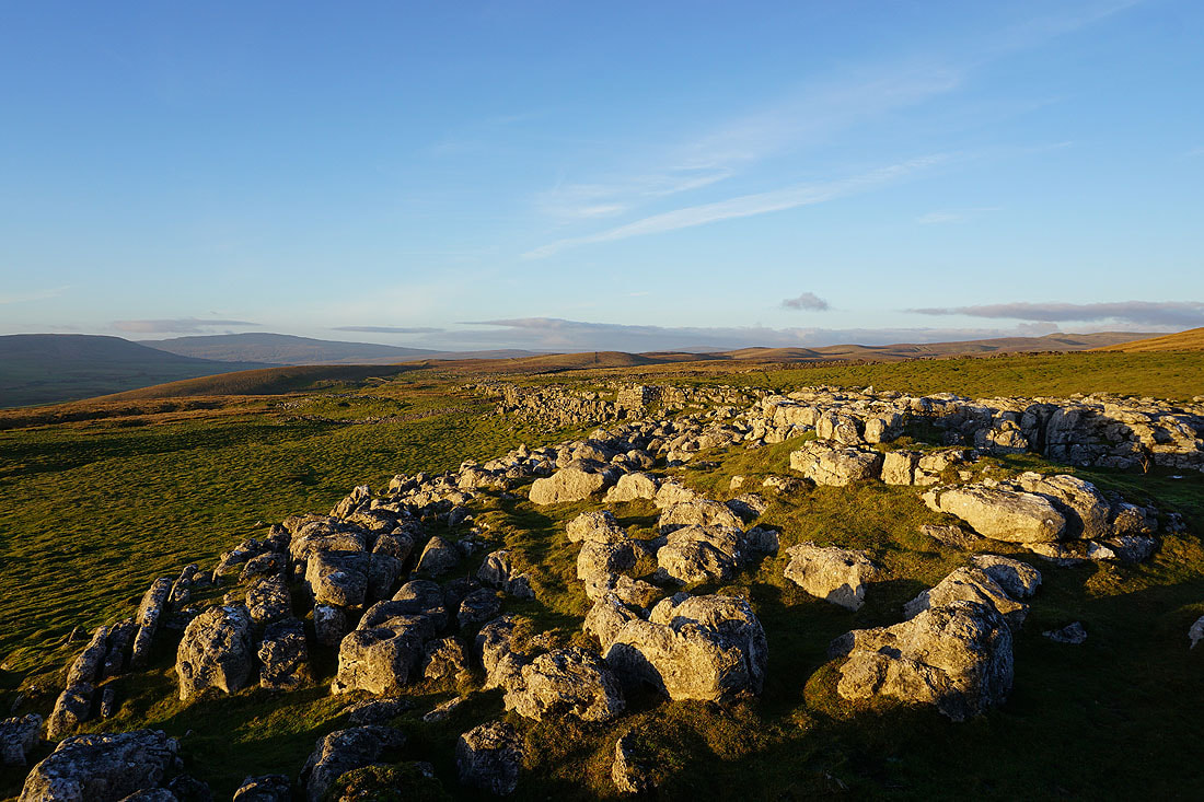
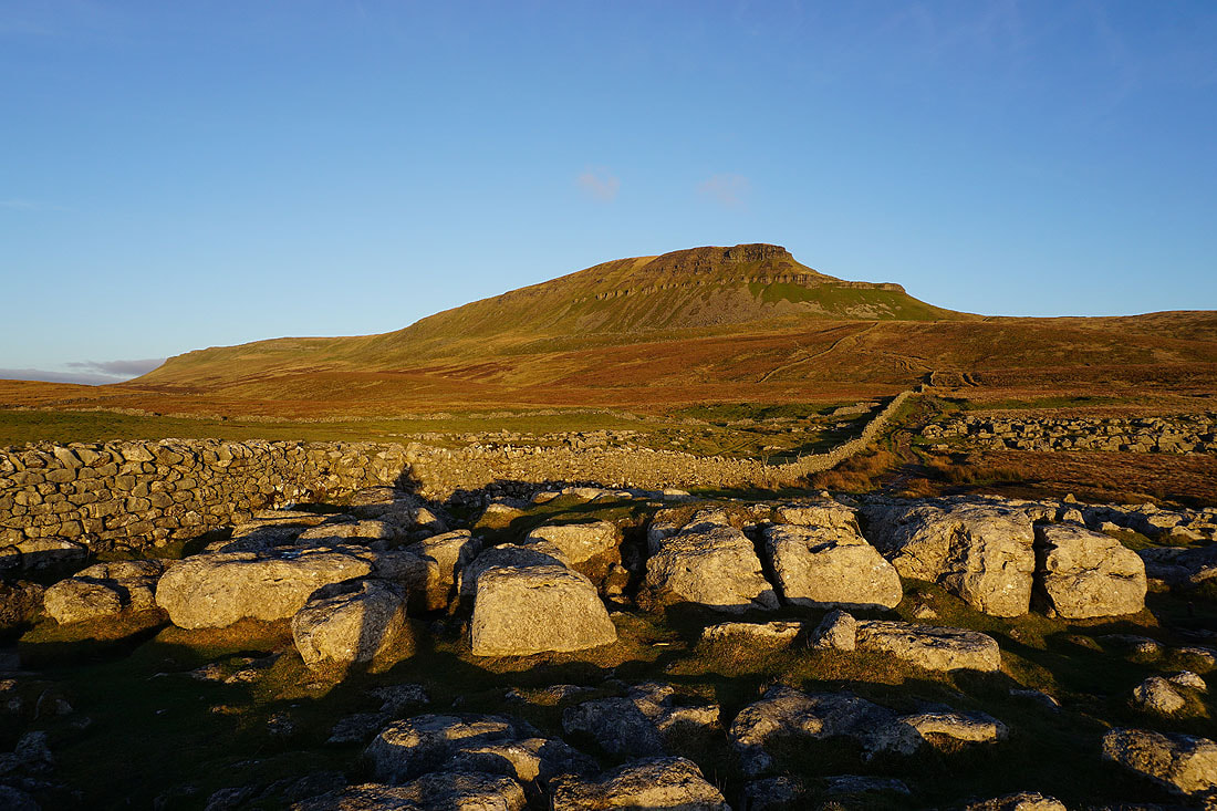
Some gritstone boulders provide a foreground for a view of Buckden Pike, Birks Fell, Great Whernside and Darnbrook Fell
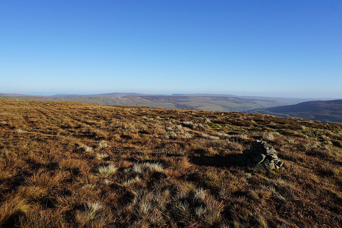
A little cairn marks the top of Plover Hill
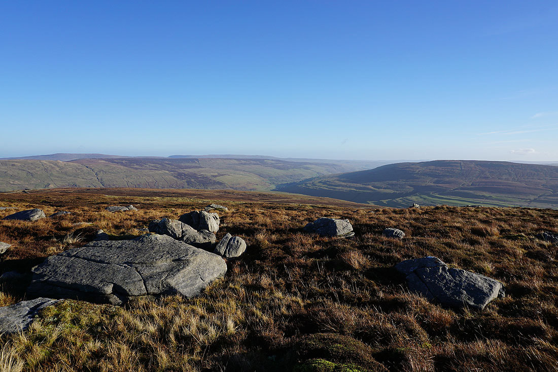
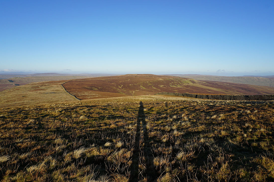
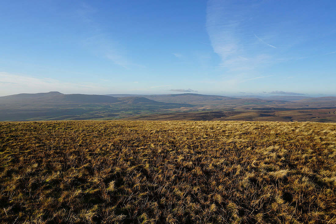
Whernside, Baugh Fell, Great Knoutberry Hill and Dodd Fell Hill from the broad top of Plover Hill
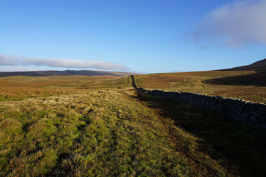
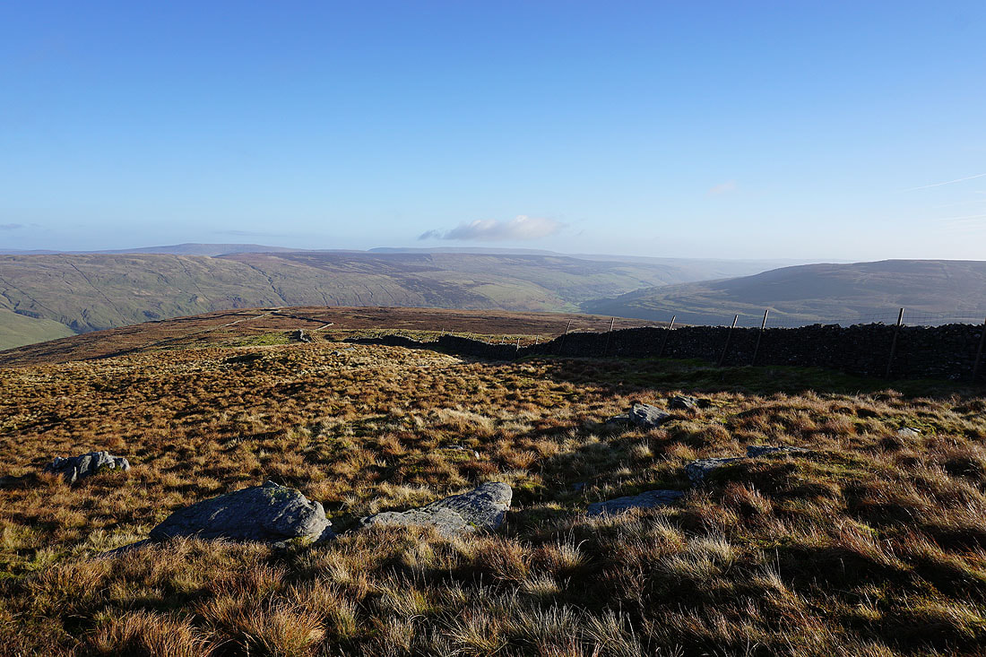
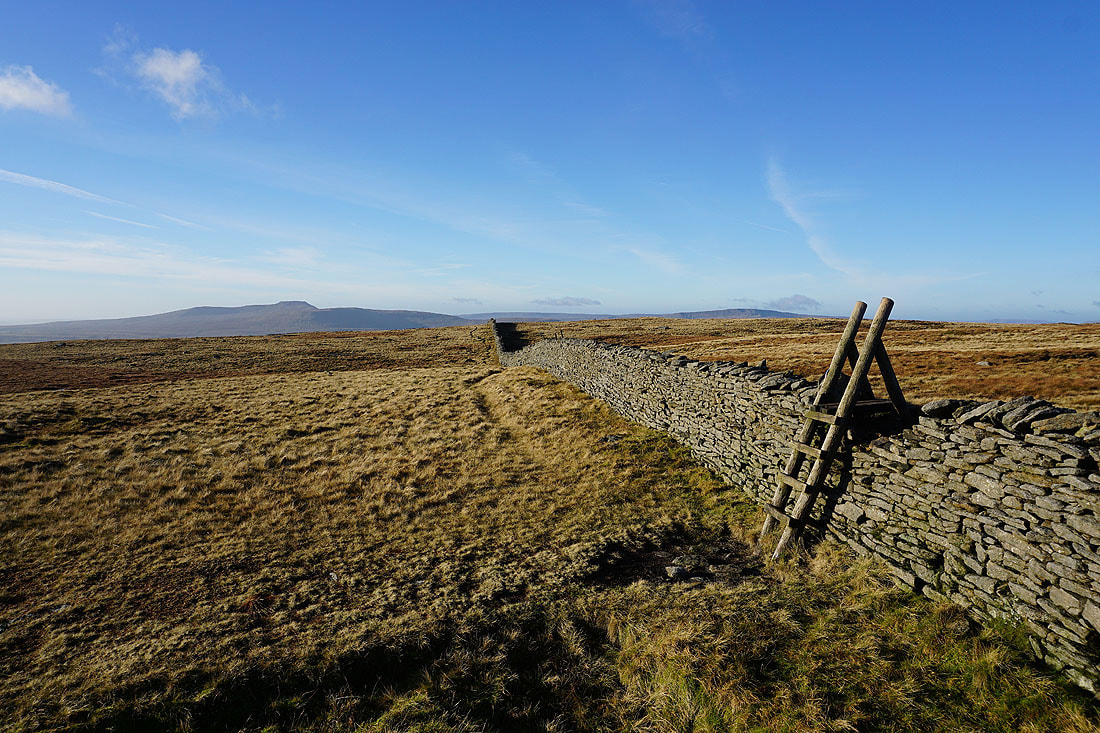
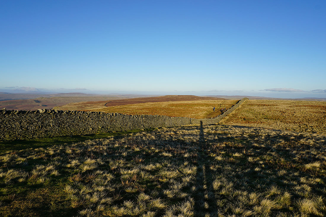
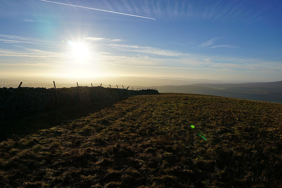
Following the wall south to Penyghent
Views of Ingleborough and Whernside along the way..
Looking back to Plover Hill as I make my way up onto Penyghent..
The visibility has improved since I was on Plover Hill and it's easier to make out distant hills. Whernside, the Howgills, Baugh Fell and Great Knoutberry Hill to the northwest.
Looking back to Plover Hill from the summit of Penyghent
Darnbrook Fell and Fountains Fell
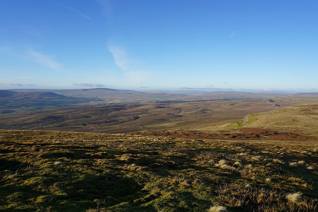
The fells of the Forest of Bowland to the south
Ingleborough and Whernside on the other side of Ribblesdale
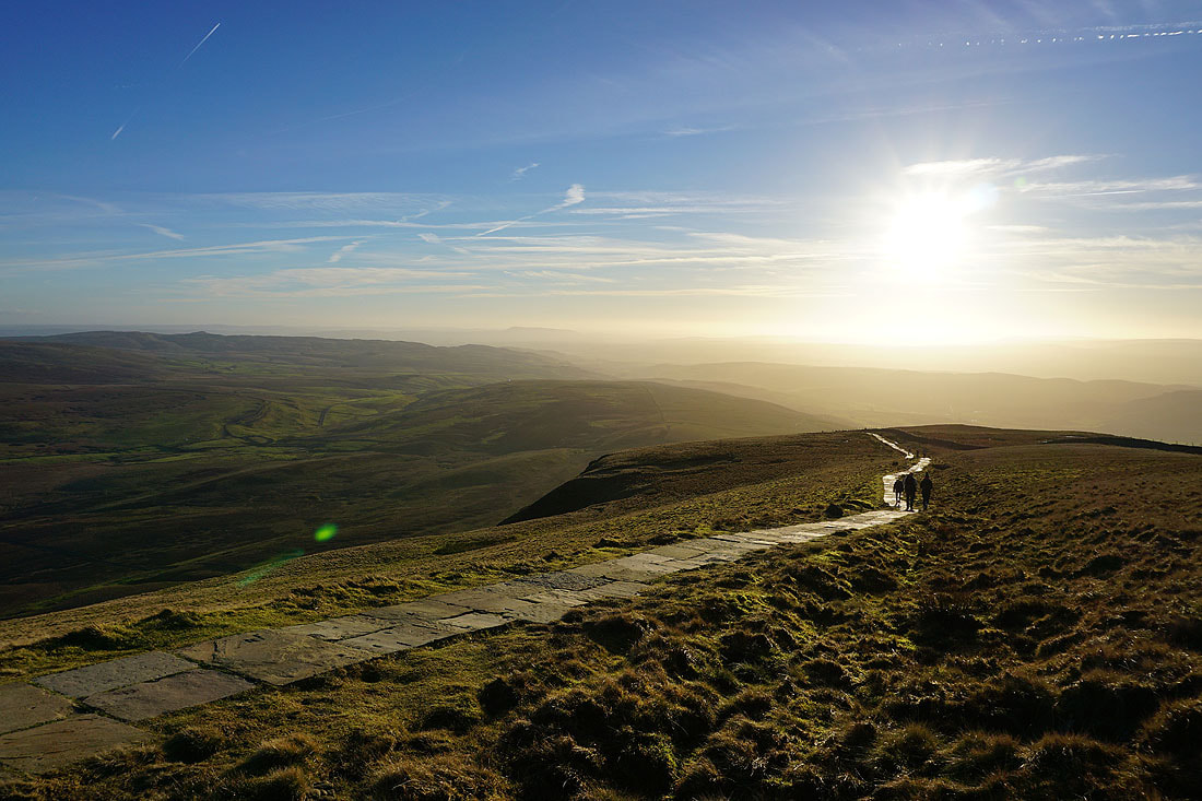
My favourite photo of the day. Pendle Hill visible through the haze as I take the path south off the summit.
Looking back to the summit
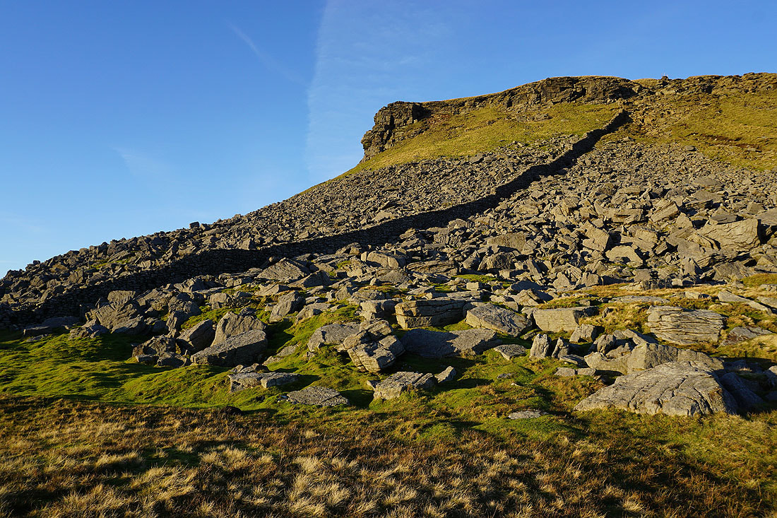
Limestone crags..
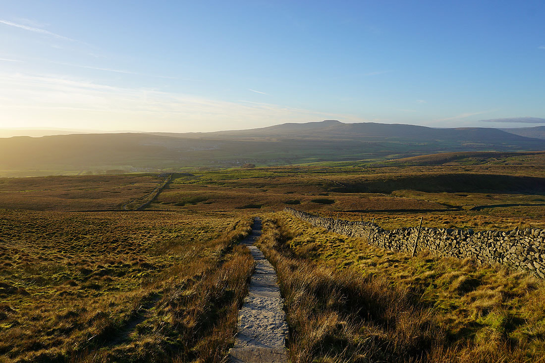
Ingleborough from the path to Brackenbottom
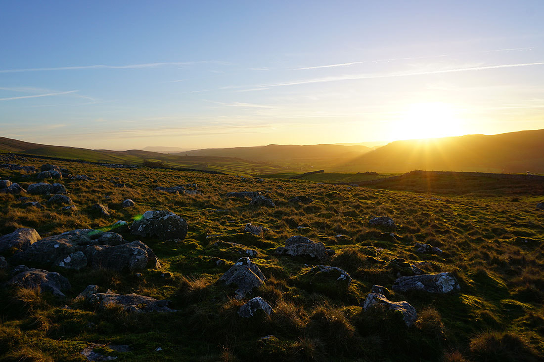
The countryside is bathed in a beautiful light as the sun gets lower in the sky..
Looking back to Penyghent
On Brackenbottom Scar
Penyghent from Brackenbottom Scar
and looking down Ribblesdale
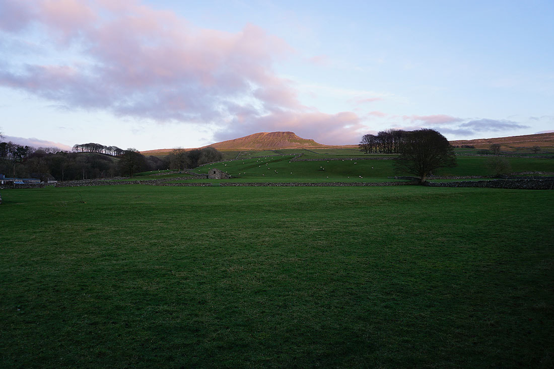
A last chance to see Penyghent before it disappears from view
Back in Horton and the setting sun catches the top of Penyghent