1st January 2022 - Conistone to Weets Top and back
Walk Details
Distance walked: 12.5 miles
Total ascent: 2051 ft
OS map used: OL2 - Yorkshire Dales, Southern & Western areas
Time taken: 6 hrs
Route description: Conistone-Kilnsey-Mastiles Lane-Smearbottoms Lane-Hawthorns Lane-Weets Top-Park House-Bordley Hall-Bordley-Malham Moor-Malham Moor Lane-Mastiles Lane-Conistone
I wasn't finding it easy to make a decision on where to go for my first walk of the new year, and with changeable weather forecast I ended up resorting to familiar territory, the moors between Wharfedale and Malhamdale. The route that I chose was one that I've done before, but with a small change to the way back from Weets Top, I took in some new paths, going via Park House and Bordley Hall to Bordley. After a grey and overcast morning with a bit of light rain it brightened up just as it was supposed to do, at lunchtime and as I was arriving at Weets Top. It meant that I could enjoy my lunch sat in the sun, and that the second half of my walk had sunny spells for enjoying the views, which were appreciated the most while on the limestone pavement on Malham Moor. It was another mild and windy day, quite a contrast to this time last year, and there's no proper winter cold in the forecast at the moment.
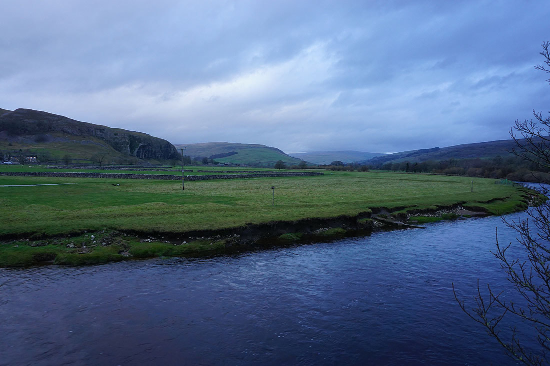
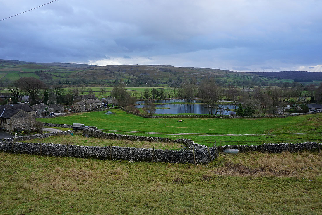
From Conistone I crossed Conistone Bridge and walked to the B6160, where I turned right, walked quickly north along the B6160 to the Tennant Arms, then took the lane next to it. This is Mastiles Lane, which I followed west up and over Holgates Kilnsey Moor, through Mastiles Gate and until I reached a footpath on the left which took me south to the northern end of Smearbottoms Lane at Middle Laithe Farm. I then walked south along Smearbottoms Lane, and then Hawthorns Lane to its top where I turned left and took the bridleway up to Weets Gate to reach Weets Top. Lunch had here in the shelter of the wall I retraced my steps back onto the bridleway down to Hawthorns Lane, leaving it for a footpath on the right to Park House. From Park House I took the footpath to Bordley Hall, then from there the footpath east up to the bridleway above, which I followed north to Bordley. After walking through Bordley I was briefly on the bridleway to Mastiles Lane before leaving it for a footpath east across Malham Moor towards Height Laithe. Just before reaching Height Laithe I crossed a bridleway which I turned left onto and followed north across Malham Moor Lane and Malham Moor and then down to Mastiles Lane. I then walked east down Mastiles Lane towards Kilnsey before taking a footpath on the right down to the B6160, where I had a brief walk north along the road to reach the lane back to Conistone.
Total ascent: 2051 ft
OS map used: OL2 - Yorkshire Dales, Southern & Western areas
Time taken: 6 hrs
Route description: Conistone-Kilnsey-Mastiles Lane-Smearbottoms Lane-Hawthorns Lane-Weets Top-Park House-Bordley Hall-Bordley-Malham Moor-Malham Moor Lane-Mastiles Lane-Conistone
I wasn't finding it easy to make a decision on where to go for my first walk of the new year, and with changeable weather forecast I ended up resorting to familiar territory, the moors between Wharfedale and Malhamdale. The route that I chose was one that I've done before, but with a small change to the way back from Weets Top, I took in some new paths, going via Park House and Bordley Hall to Bordley. After a grey and overcast morning with a bit of light rain it brightened up just as it was supposed to do, at lunchtime and as I was arriving at Weets Top. It meant that I could enjoy my lunch sat in the sun, and that the second half of my walk had sunny spells for enjoying the views, which were appreciated the most while on the limestone pavement on Malham Moor. It was another mild and windy day, quite a contrast to this time last year, and there's no proper winter cold in the forecast at the moment.
From Conistone I crossed Conistone Bridge and walked to the B6160, where I turned right, walked quickly north along the B6160 to the Tennant Arms, then took the lane next to it. This is Mastiles Lane, which I followed west up and over Holgates Kilnsey Moor, through Mastiles Gate and until I reached a footpath on the left which took me south to the northern end of Smearbottoms Lane at Middle Laithe Farm. I then walked south along Smearbottoms Lane, and then Hawthorns Lane to its top where I turned left and took the bridleway up to Weets Gate to reach Weets Top. Lunch had here in the shelter of the wall I retraced my steps back onto the bridleway down to Hawthorns Lane, leaving it for a footpath on the right to Park House. From Park House I took the footpath to Bordley Hall, then from there the footpath east up to the bridleway above, which I followed north to Bordley. After walking through Bordley I was briefly on the bridleway to Mastiles Lane before leaving it for a footpath east across Malham Moor towards Height Laithe. Just before reaching Height Laithe I crossed a bridleway which I turned left onto and followed north across Malham Moor Lane and Malham Moor and then down to Mastiles Lane. I then walked east down Mastiles Lane towards Kilnsey before taking a footpath on the right down to the B6160, where I had a brief walk north along the road to reach the lane back to Conistone.
Route map
© Crown copyright. All rights reserved. License number PU 100034184.
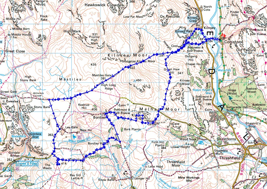
Kilnsey Crag and the River Wharfe from Conistone Bridge
Kilnsey below as I leave it behind on Mastiles Lane
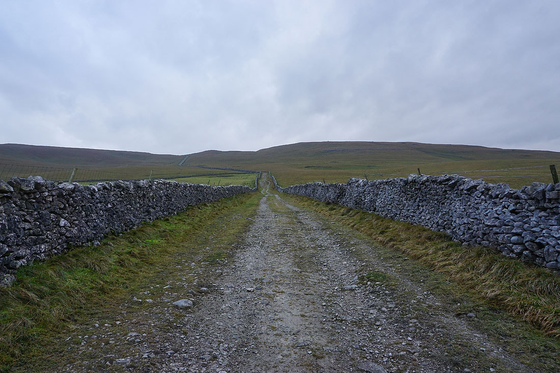
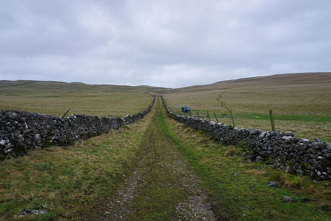
Heading west along Mastiles Lane up onto Holgates Kilnsey Moor...
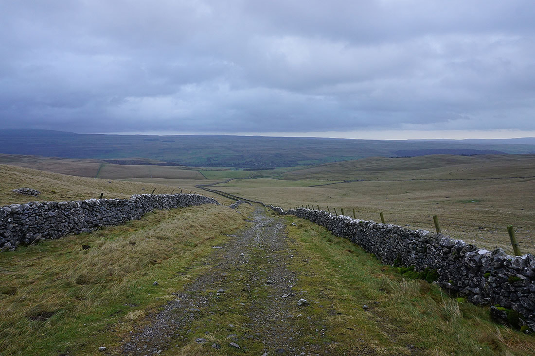
Looking back down into Wharfedale as I reach the top of Mastiles Lane
Weets Top in the distance on the left, and Kirkby Fell in the distance on the right as I follow Mastiles Lane towards Mastiles Gate
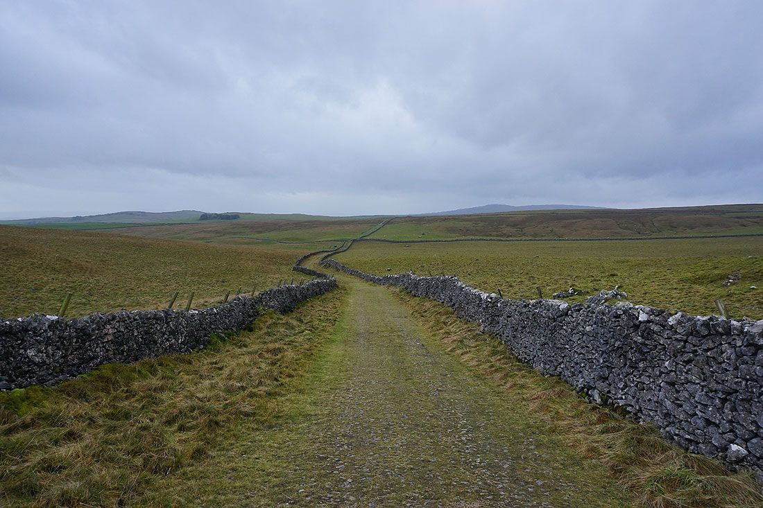
Looking back along Mastiles Lane from Mastiles Gate
Rough Haw and Sharp Haw, the twin tops of Flasby Fell, in the distance to the south
Heading west along Mastiles Lane with Kirkby Fell in the distance
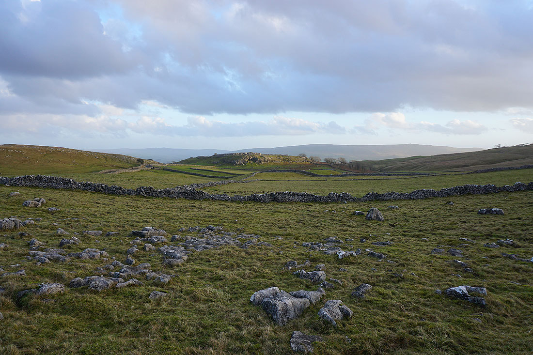
Looking back along Mastiles Lane to Holgates Kilnsey Moor
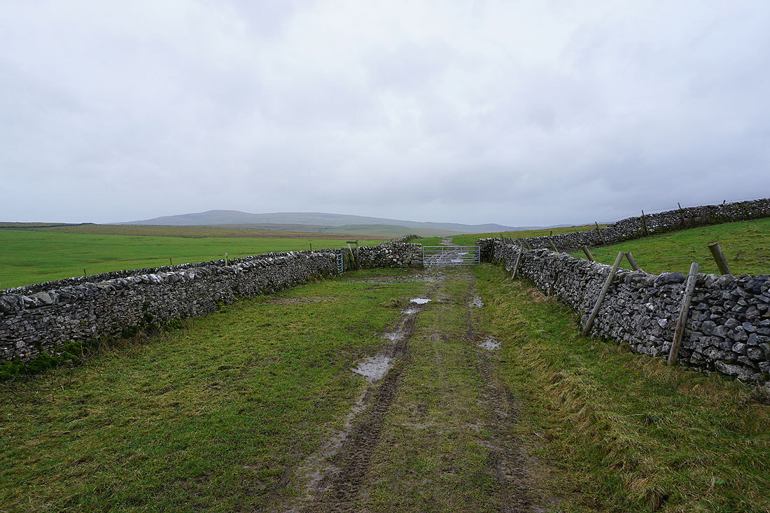
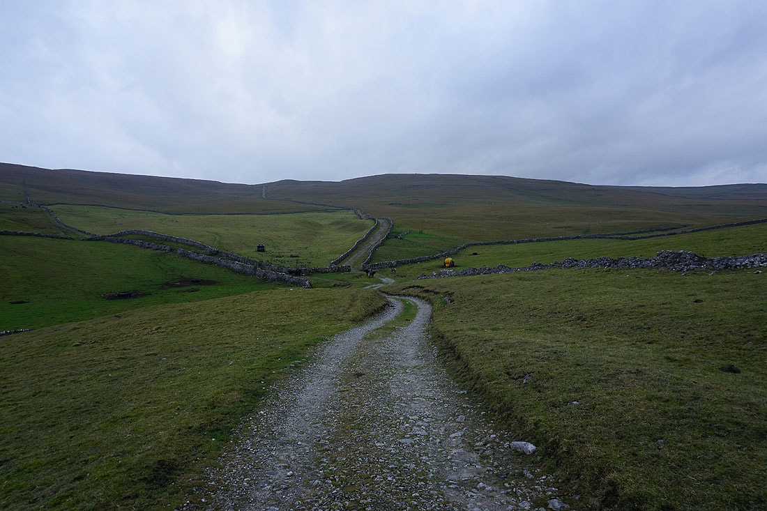
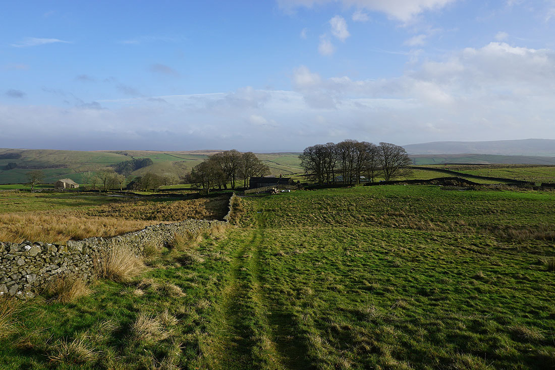
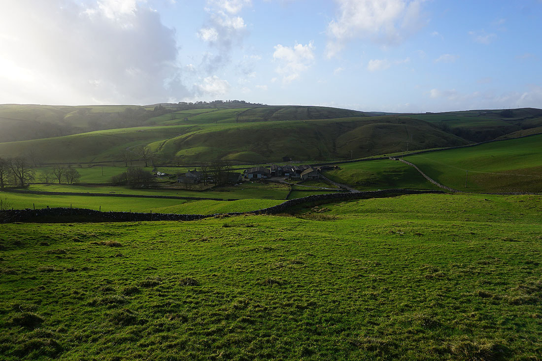
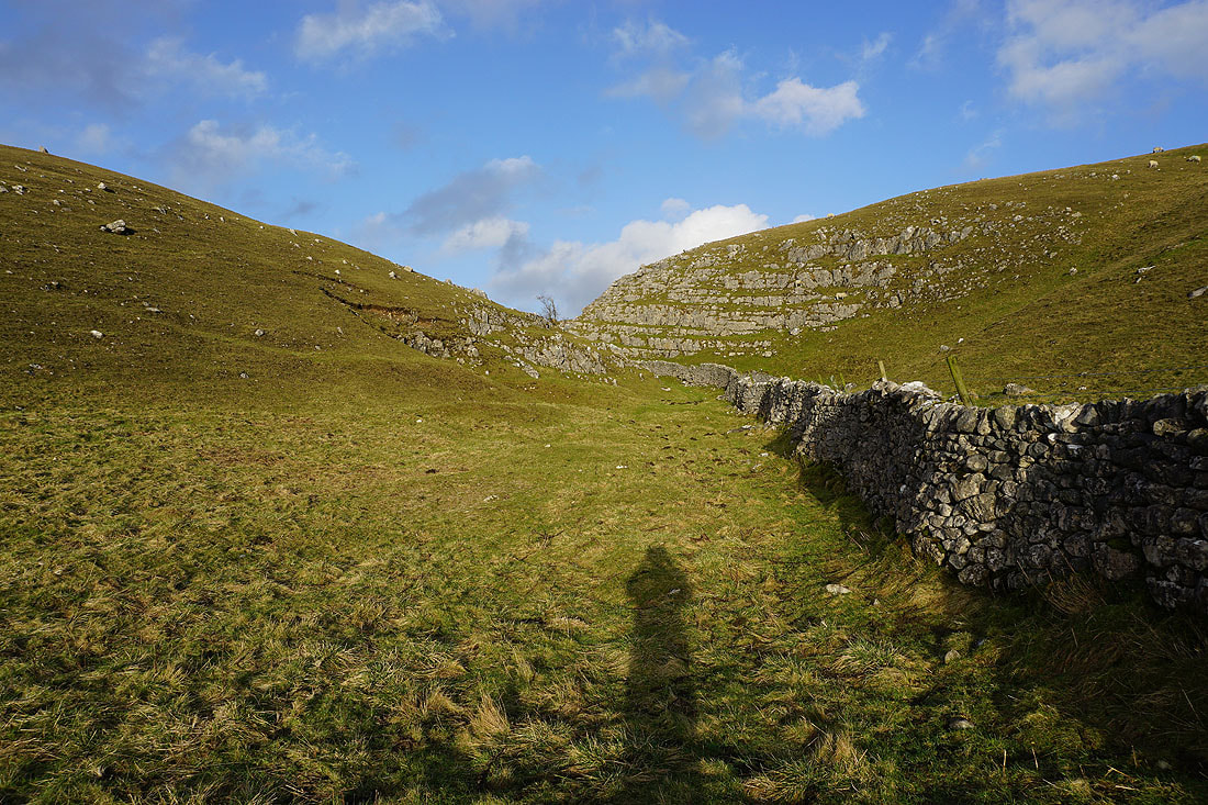
I finally reach the point where I leave Mastiles Lane. The footpath on the left will take me south to Smearbottoms Lane.
Following the footpath south across fields to Middle Laithe Farm. It looks like it might be brightening up..
Looking back to Middle Laithe Farm from Smearbottoms Lane
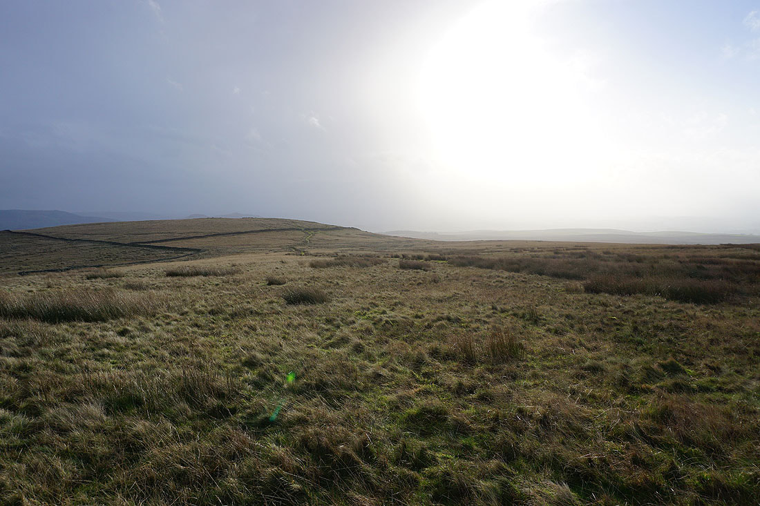
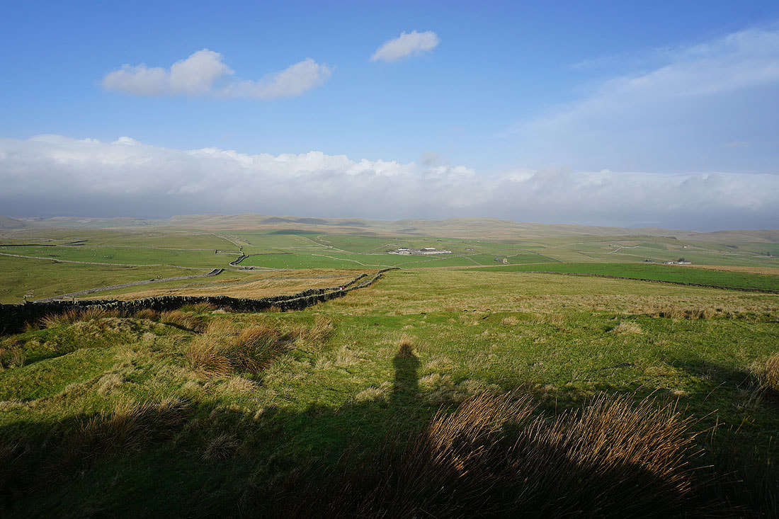
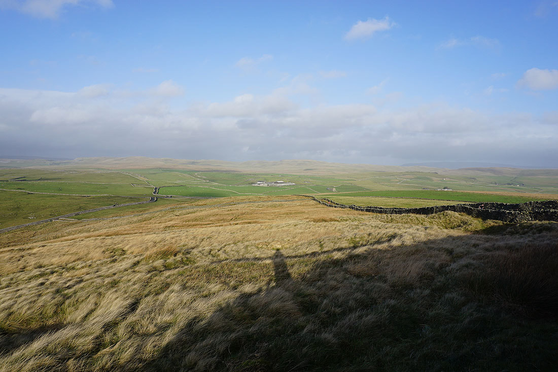
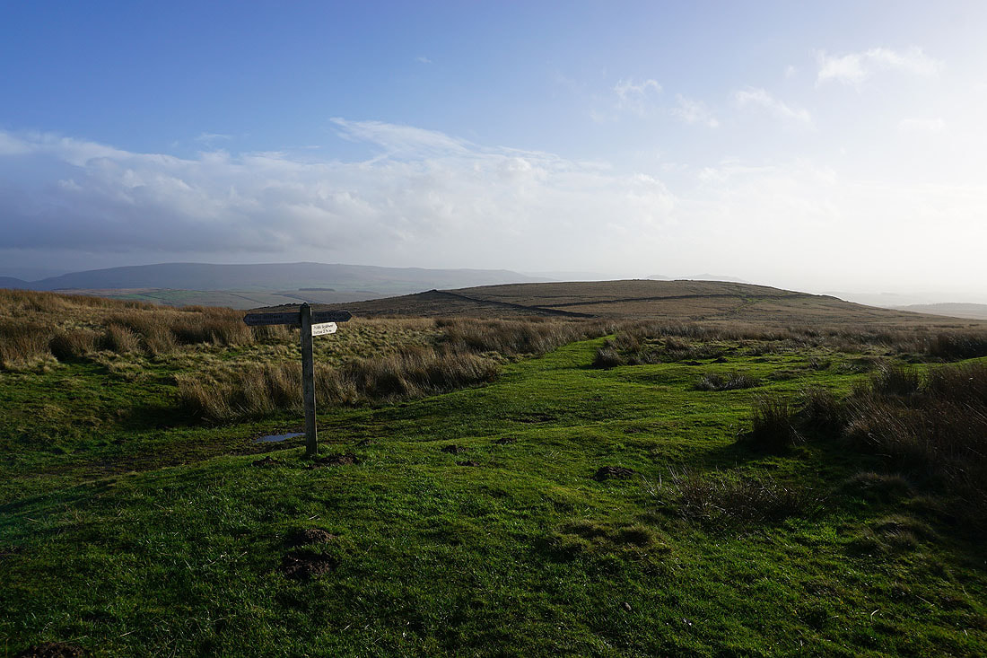
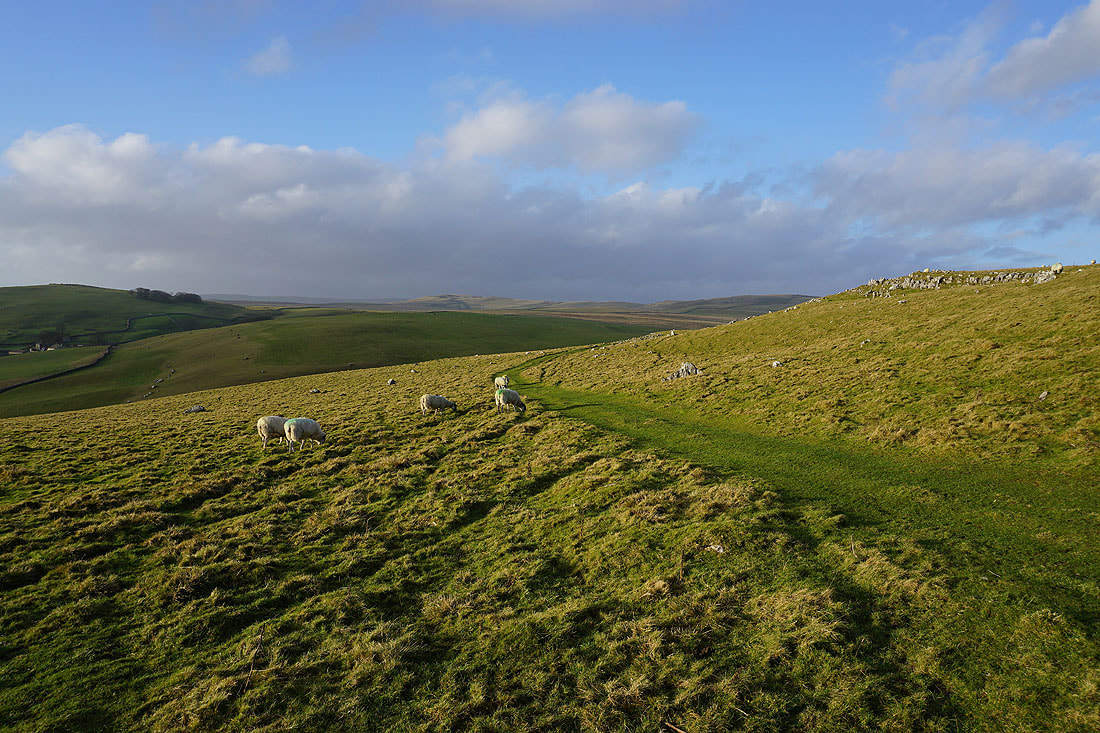
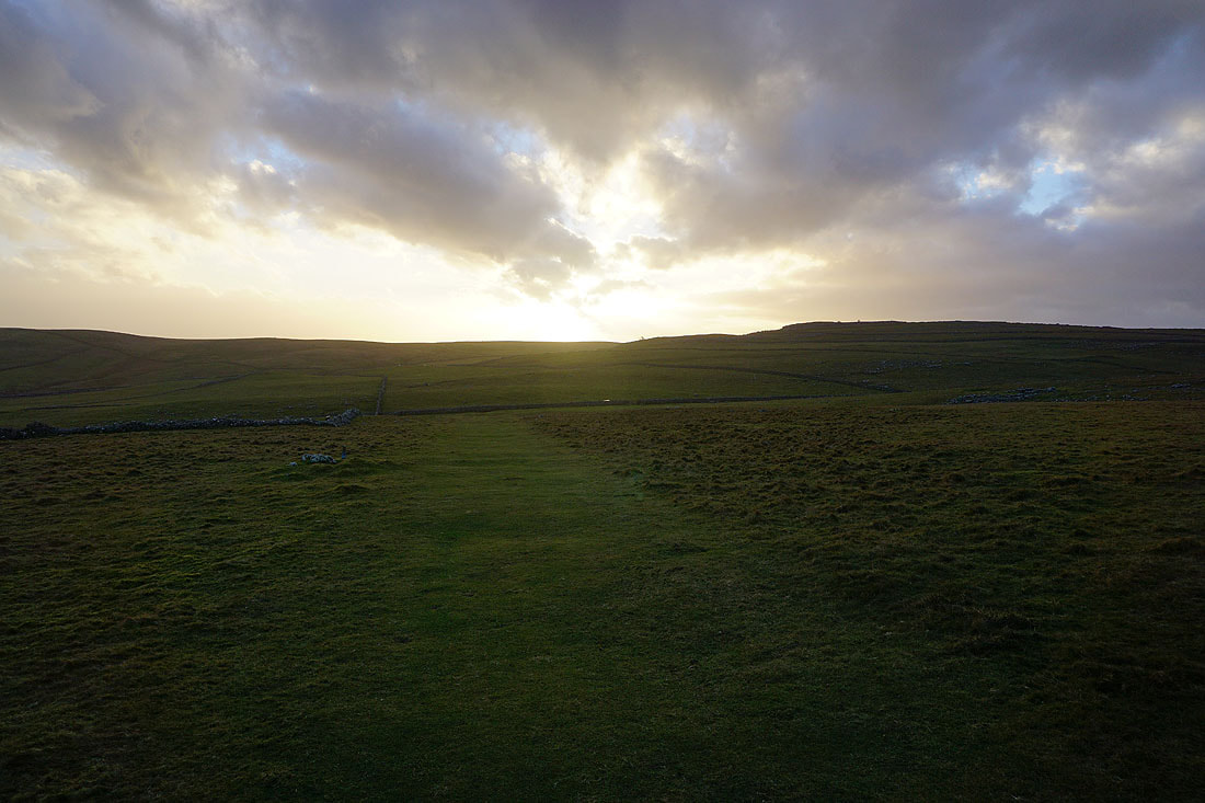
Fifteen minutes later and I reach Weets Top. The cloud is clearing and sunnier skies are arriving for the afternoon.
Looking north along the bridleway up to Weets Top to the limestone moorland of Parson's Pulpit and Proctor High Mark in the distance
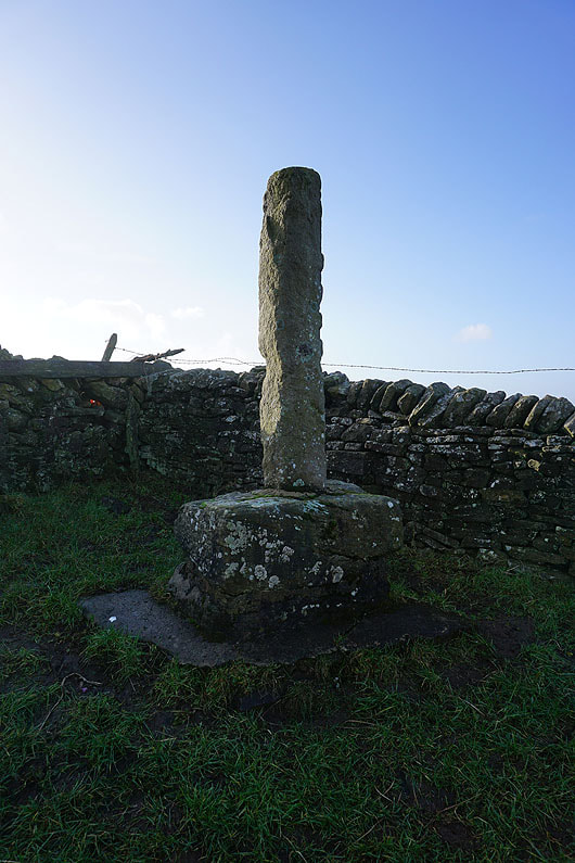
The remains of Weets Cross
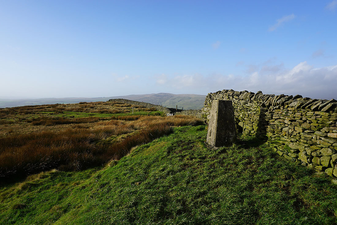
At the trig point on Weets Top. This is a good place to stop for lunch, and I'll be able to enjoy it being sat in the sun.
A couple of photos looking north over the summit wall to the limestone moorland of Parson's Pulpit and Proctor High Mark in the distance..
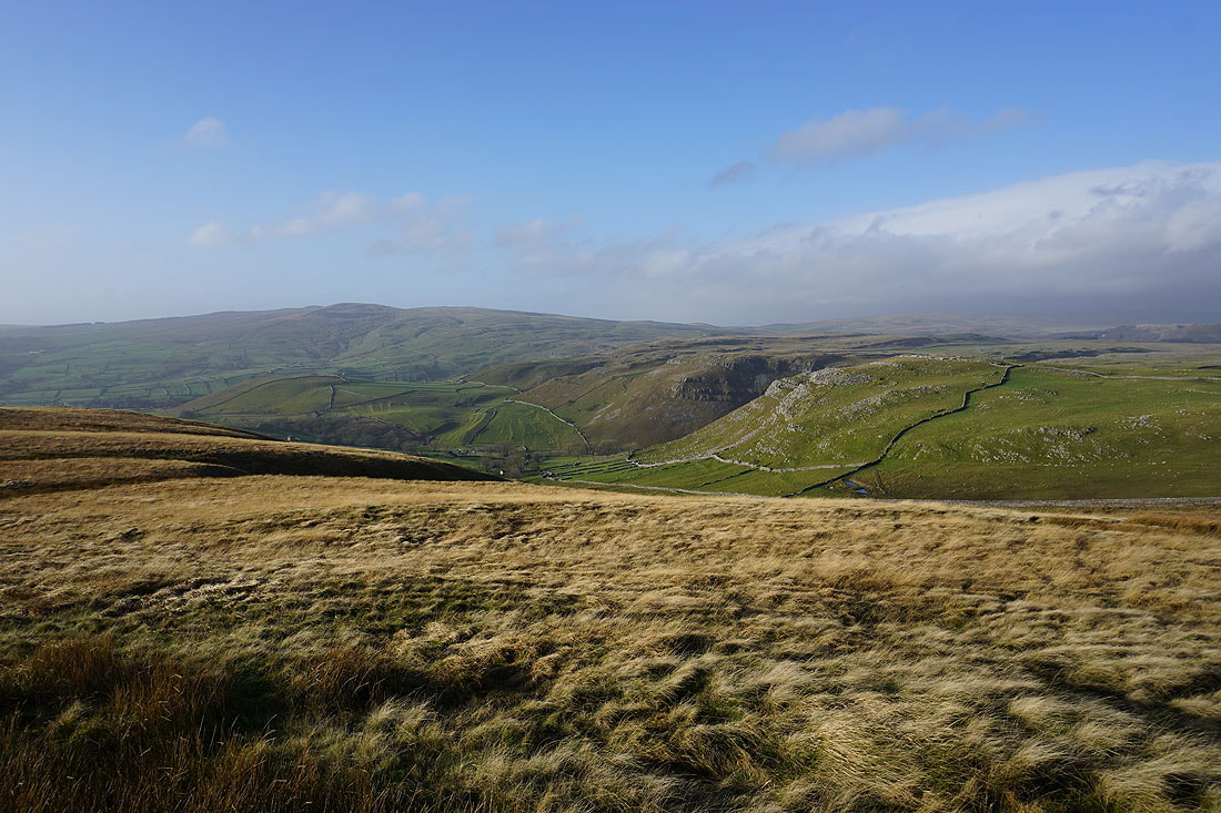
Kirkby Fell and the limestone crags that mark the entrance to Gordale Scar
Hetton Common Head just to the south
Cracoe Fell and Hetton Common Head
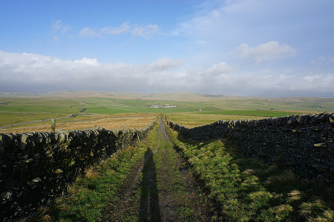
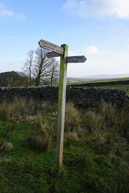
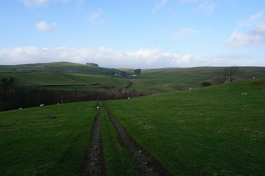
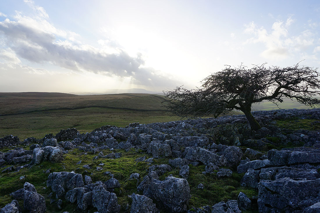
I leave Weets Top via the bridleway down to Hawthorns Lane. I won't be on it for long though, as it turns to the left I'll take a footpath on the right.
The footpath takes me across fields and moorland to Park House...
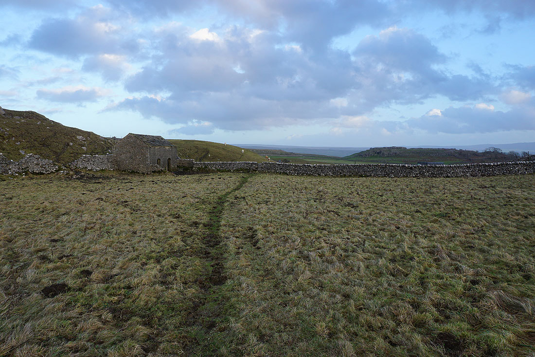
At Park House and I take the footpath to Bordley Hall
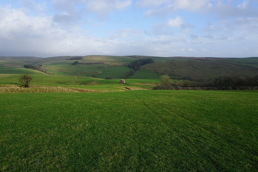
Heading down into the valley of Bordley Beck
Approaching Bordley Hall
Looking back down on Bordley Hall. My route from Park House was down the hillside behind.
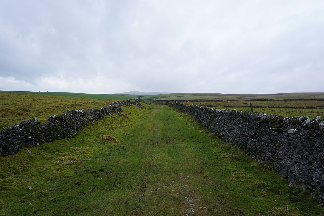
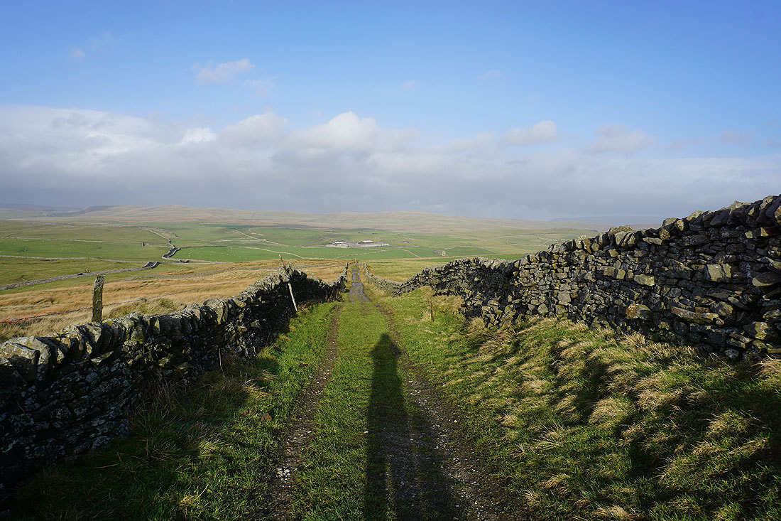
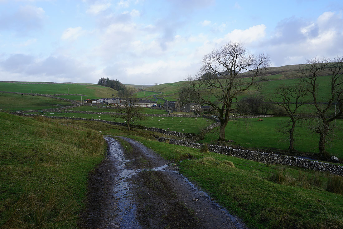
Heading north on the bridleway to Bordley
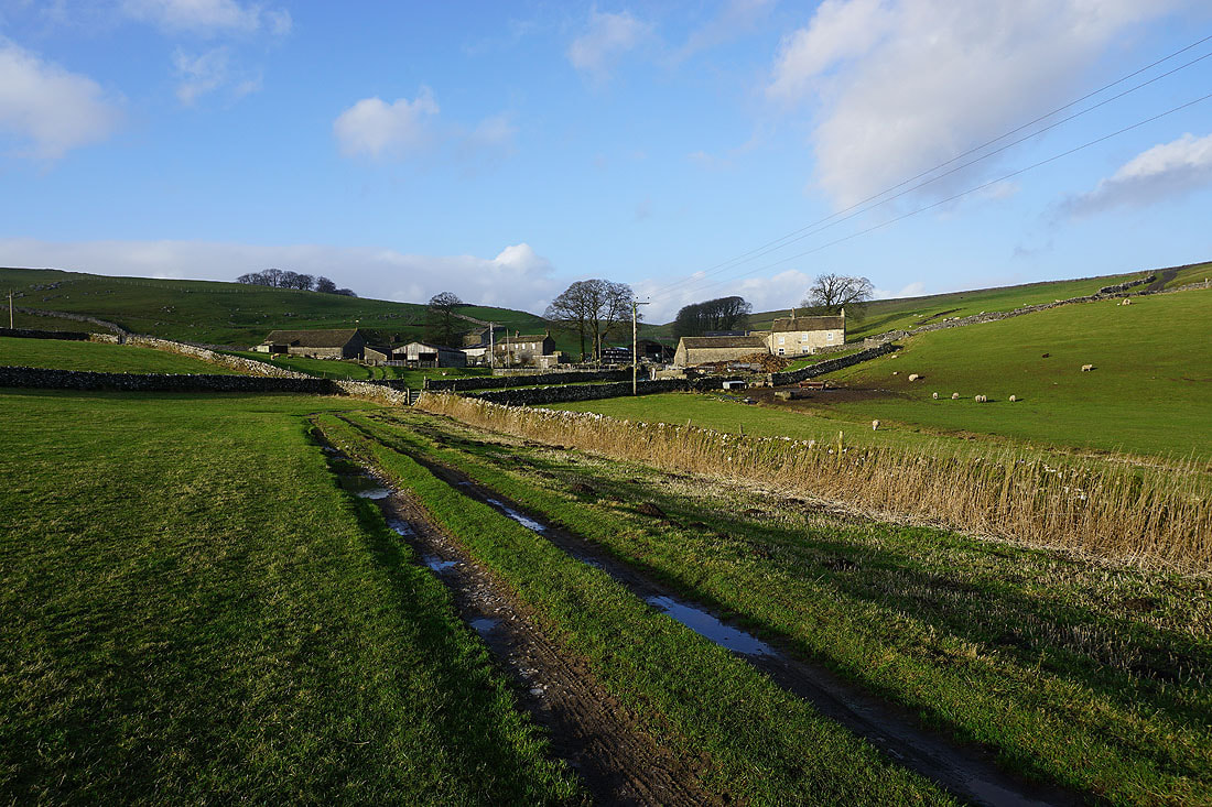
Approaching the hamlet of Bordley
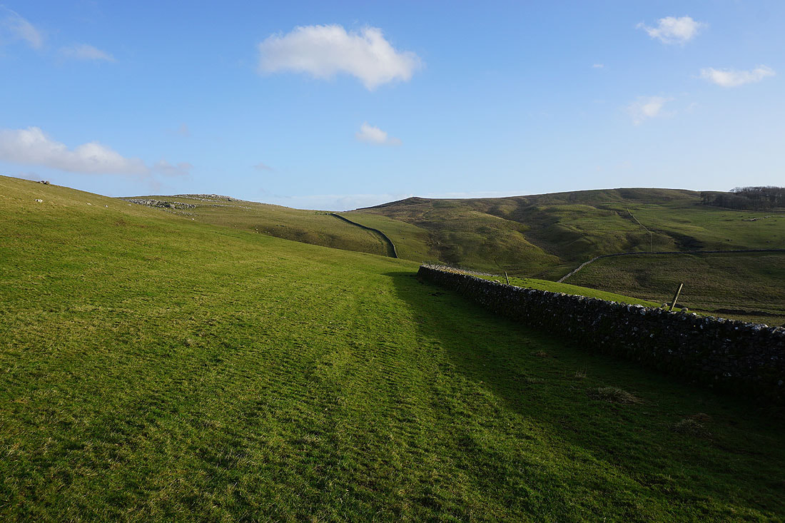
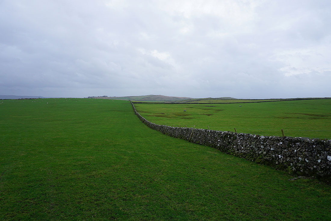
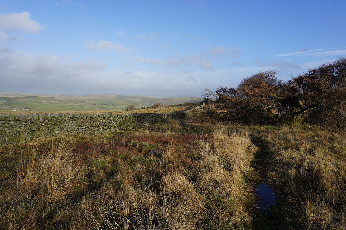
I leave Bordley by taking the footpath east towards Malham Moor. It also runs along the line of the Mid Craven Fault, with limestone on the left and gritstone on the right.
The afternoon sun shines on the exposed limestone in a dry valley
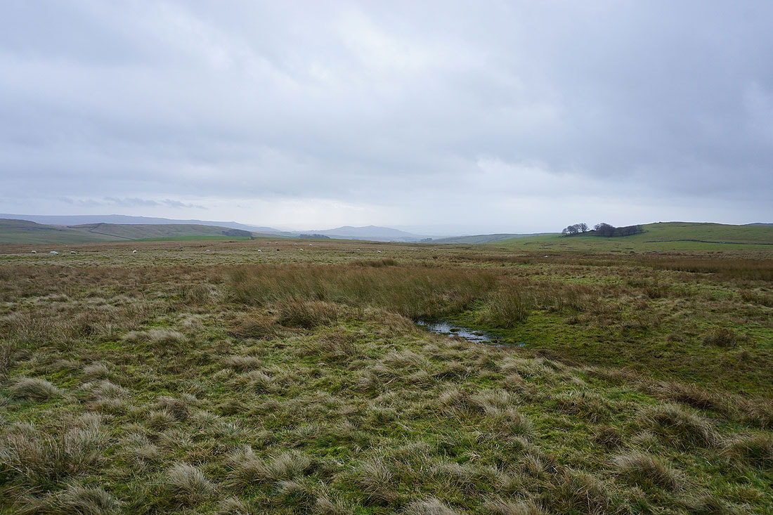
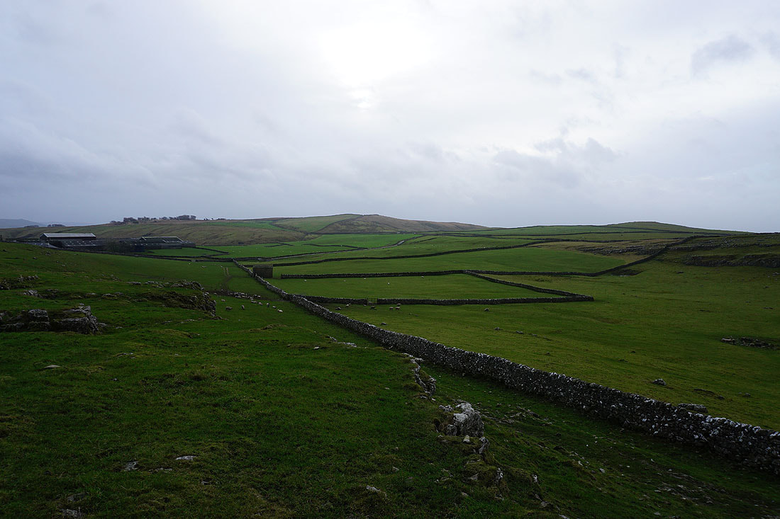
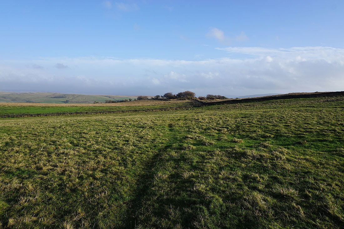
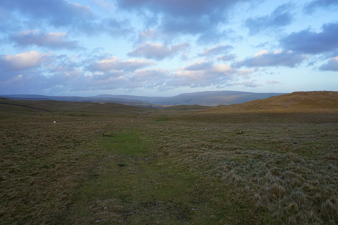
The moors to the north of Mastiles Lane in the distance as I reach the southern edge of Malham Moor
Looking back to Bordley with Kealcup Hill behind
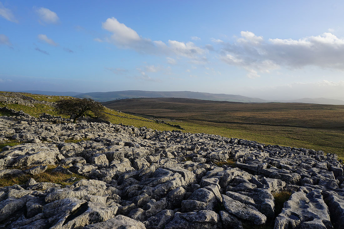
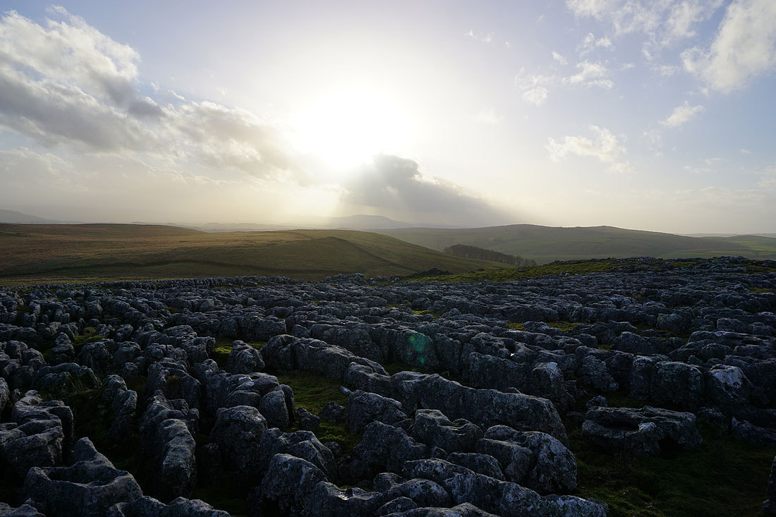
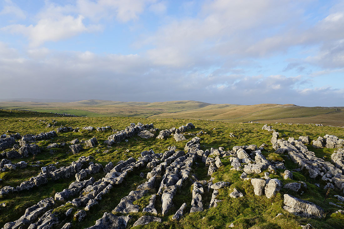
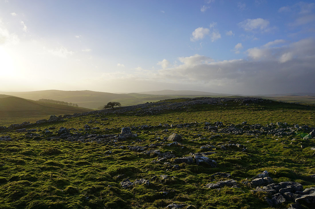
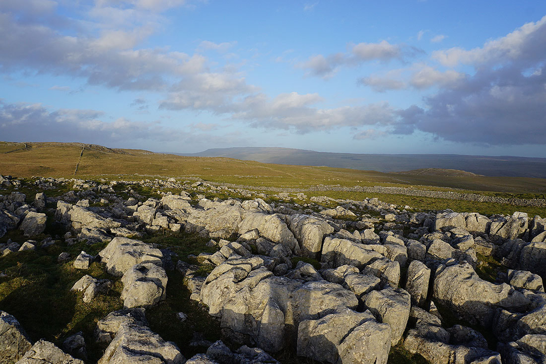
There's quite a bit of limestone pavement on Malham Moor, so I decided to spend some time wandering about amongst it taking some photos. First, looking across Threshfield Moor to Cracoe Fell in the distance.
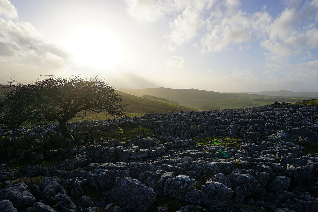
Looking southwest to Weets Top
Pendle Hill in the distance..
The limestone moorland of Parson's Pulpit and Proctor High Mark in the distance
Looking west to Hetton Common Head, Weets Top and Kirkby Fell
Great Whernside to the northeast on the other side of Wharfedale
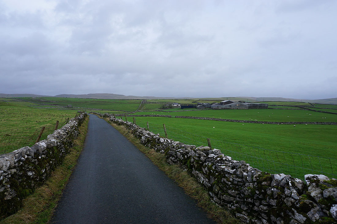
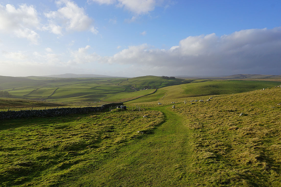
From Malham Moor I take the footpath..
..then bridleway to Malham Moor Lane
Looking east to Cave Scar
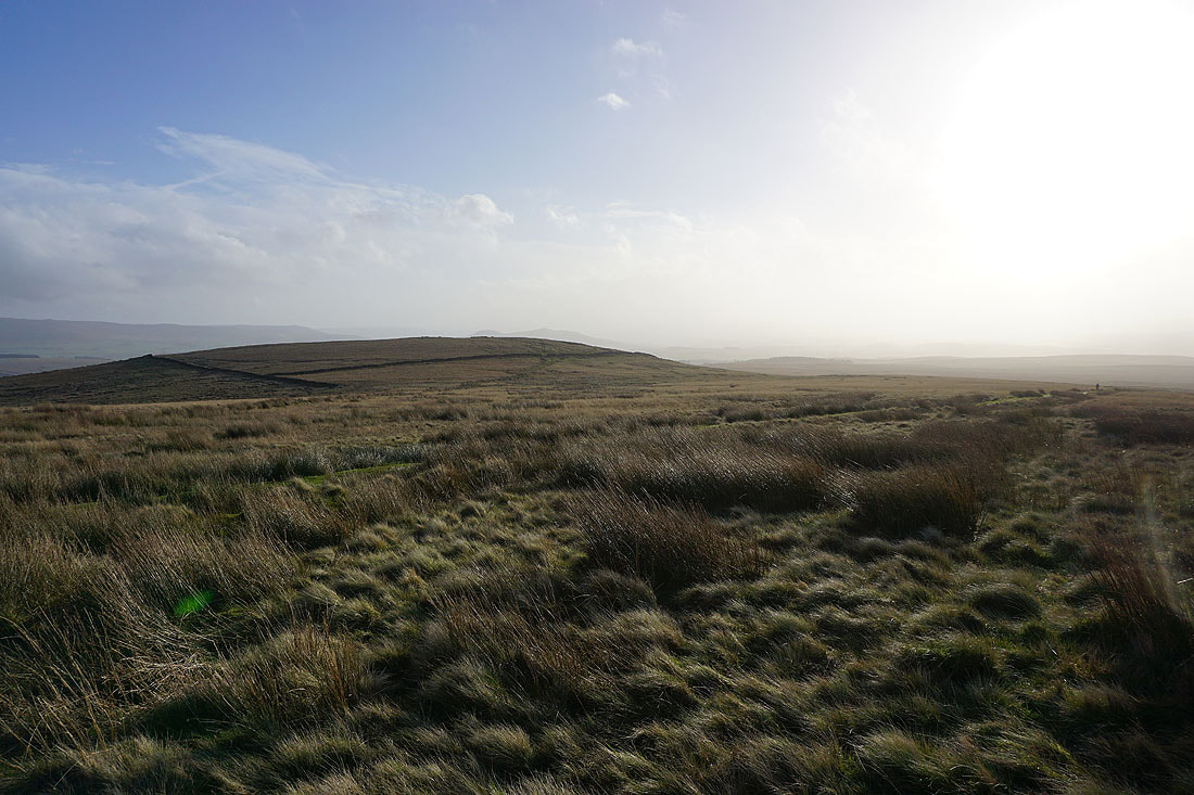
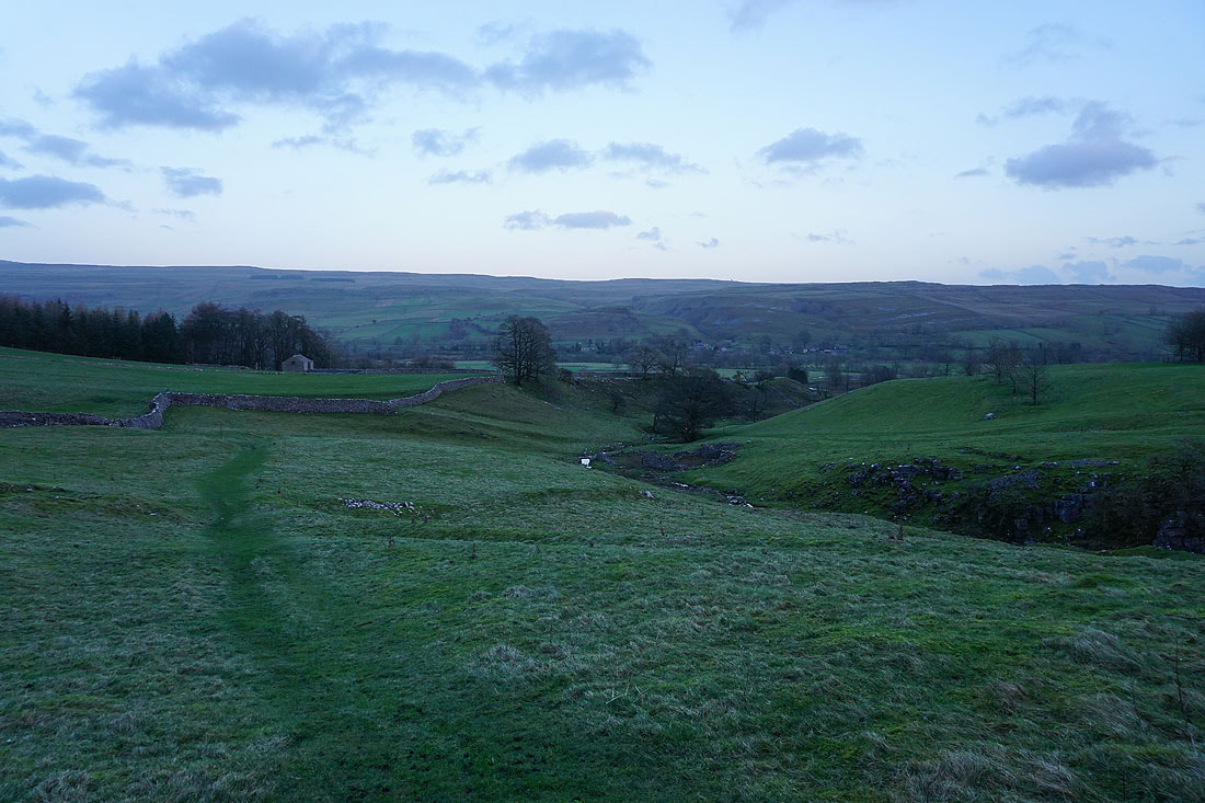
The sun's starting to set. I'd better get a move on.
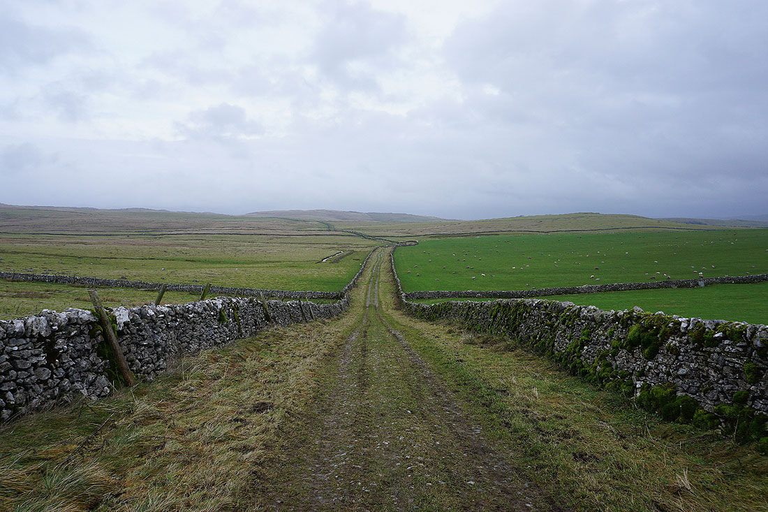
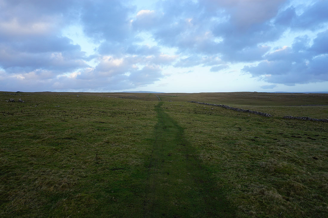
Buckden Pike and Great Whernside in the distance as I head north along the bridleway to Mastiles Lane
I leave Mastiles Lane and take the footpath down to the B6160 just outside Kilnsey. It leaves me with a shorter walk to reach the road to Conistone.
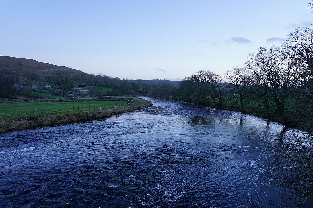
A final shot of the River Wharfe from Conistone Bridge