1st January 2024 - Plover Hill and Penyghent
Walk Details
Distance walked: 9.7 miles
Total ascent: 1917 ft
OS map used: OL2 - Yorkshire Dales, Southern & Western areas
Time taken: 6. hrs
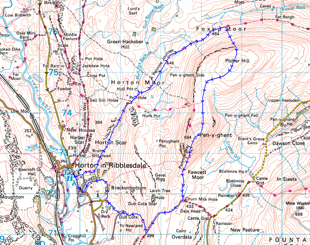
Route description: Horton-Pennine Way-Hull Pot-Foxup Moor-Plover Hill-Penyghent-Pennine Way-Long Lane-Dub Cote-Brackenbottom-Horton
Unfortunately the start of a new year hasn't seen a change in the weather, with the wet and windy conditions during Christmas set to continue, although daylight hours today shouldn't be too bad. I decided to head for Horton-in-Ribblesdale and do a route that I've followed many times now, taking in Plover Hill and Penyghent. I opted to take the bridleway across Horton and Foxup Moors to ascend Plover Hill first, so that I could give the low cloud that was sitting on the hills first thing this morning as much time to lift and clear as possible. There were signs of it brightening up soon after I left Horton but it took until after midday for the cloud to lift, and then it was just above the tops of the hills and it became misty every now and then. Sunshine was in short supply and the best of it was when I was on Penyghent, when the mist cleared to allow views down Ribblesdale. At least it stayed dry!
From the car park in Horton-in-Ribblesdale I picked up the trail of the Pennine Way and followed it up Horton Scar Lane to its top, and then took the bridleway to Foxup up onto Foxup Moor (with a short detour to see Hull Pot). When I reached the fingerpost for Plover Hill I left the bridleway and followed the footpath up onto Plover Hill, where I stopped for lunch. After this break I then followed the path south across the moor and up to the summit of Penyghent. Once I'd taken in the view I took the Pennine Way south from the summit, then when I reached the track of Long Lane I followed this south until I reached the bridleway to Dub Cote on the right. I followed this bridleway down to Dub Cote, and then from there I walked along roads through Brackenbottom and back to Horton-in-Ribblesdale.
Route map
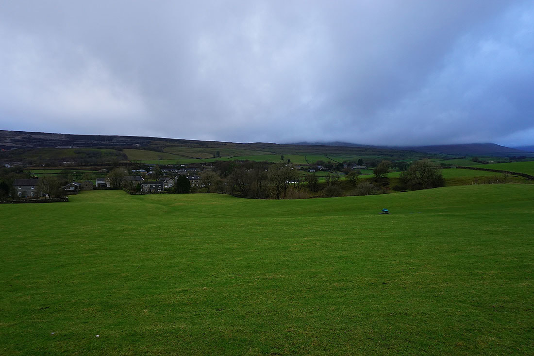
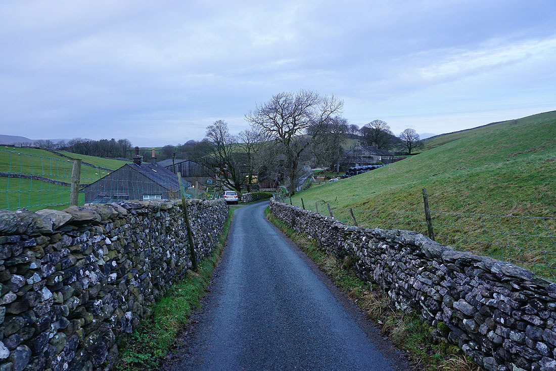
Dull and overcast skies over Ribblesdale as I set off from Horton
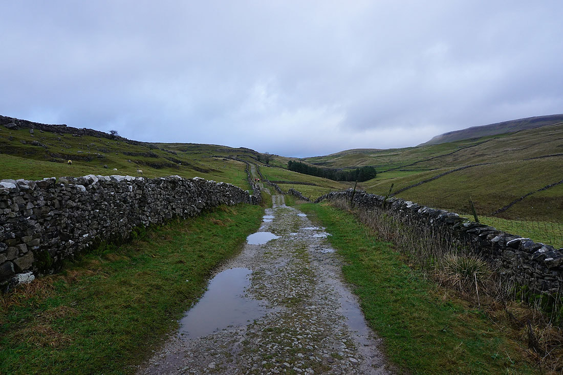
Heading up Horton Scar Lane
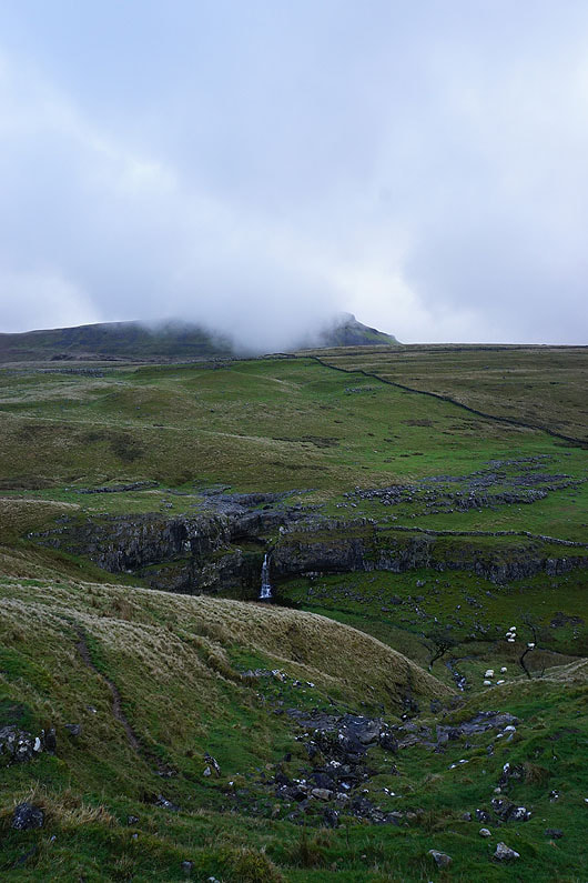
Penyghent above Horton Scar
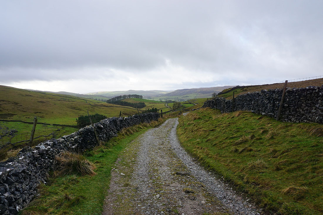
Looking back down Horton Scar Lane. It looks like it's brightening up.
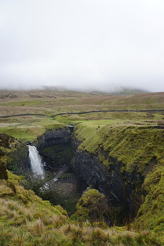
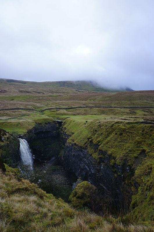
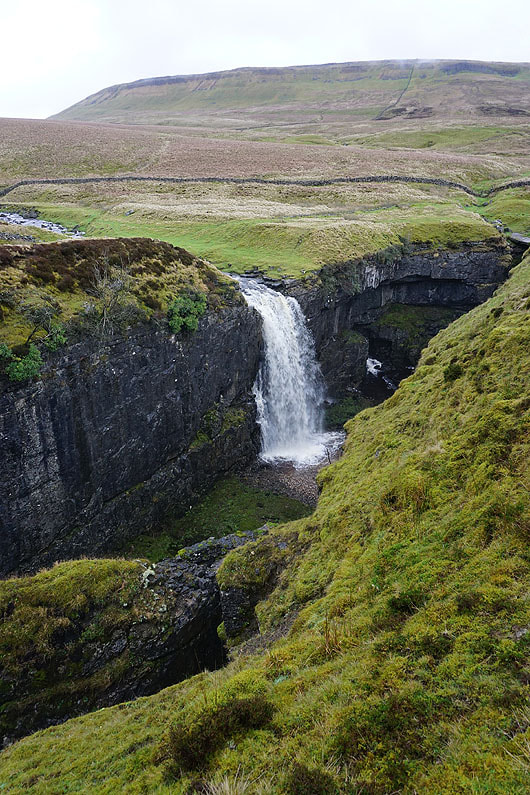
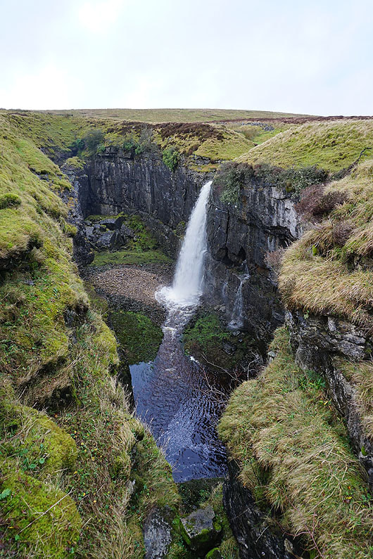
Since I was passing Hull Pot I couldn't not stop and take a few photos....
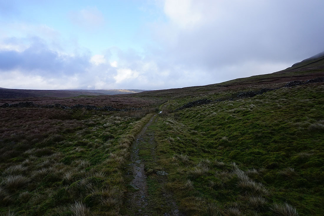
Resuming my journey along the bridleway to Foxup
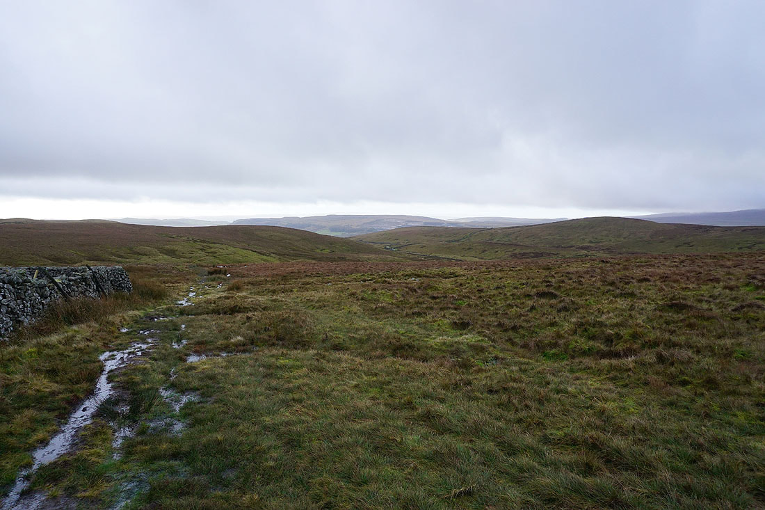
Looking back across Ribblesdale to brighter skies in the distance
and to a cloud topped Ingleborough
The moorland of Cosh Outside rises to Cosh Knott
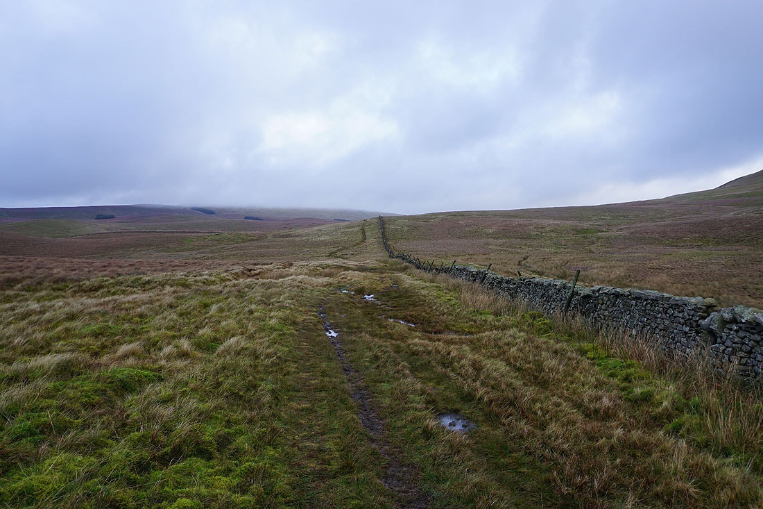
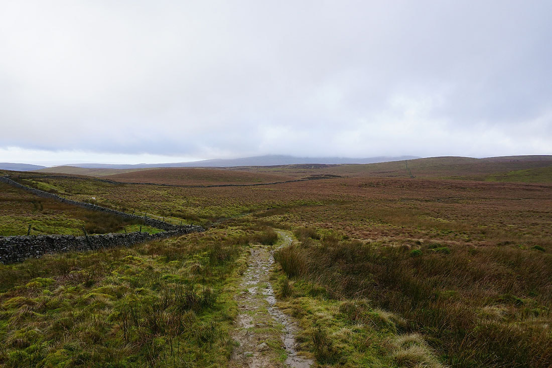
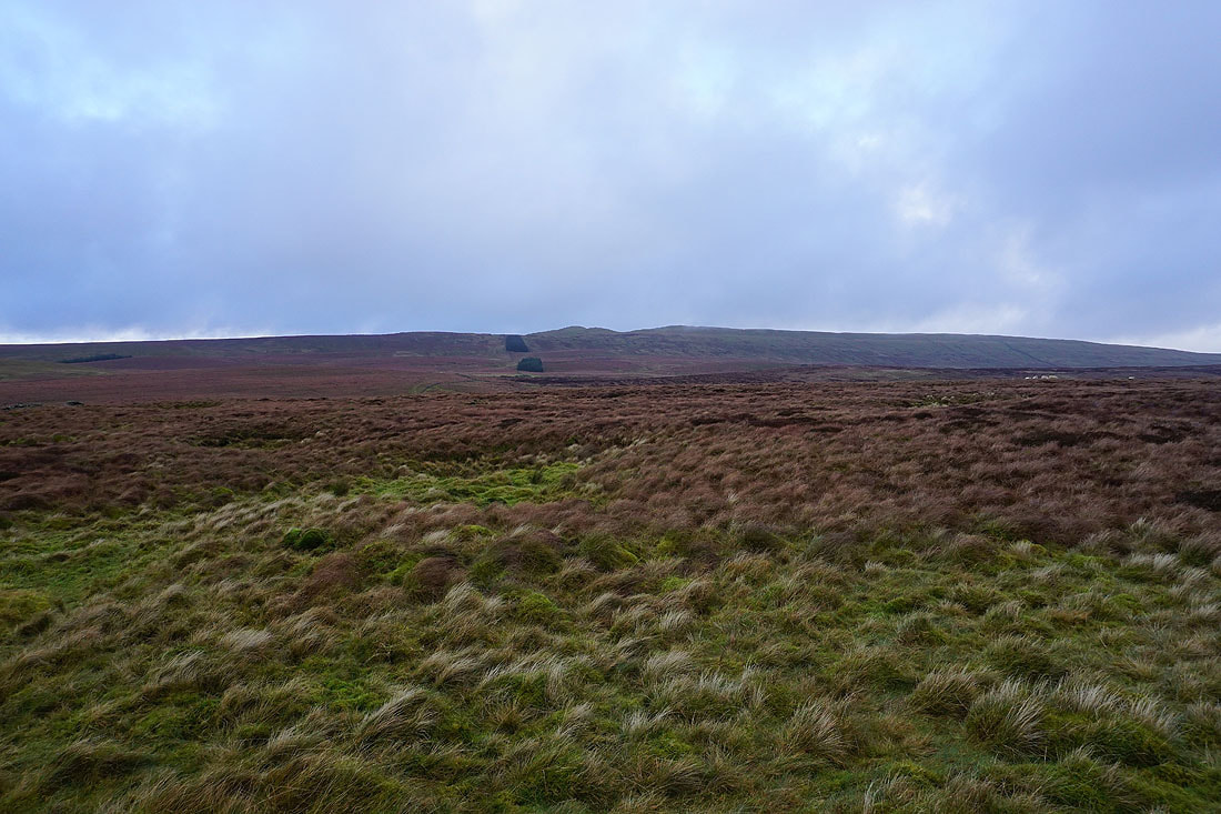
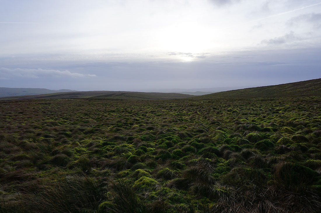
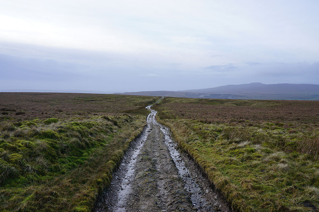
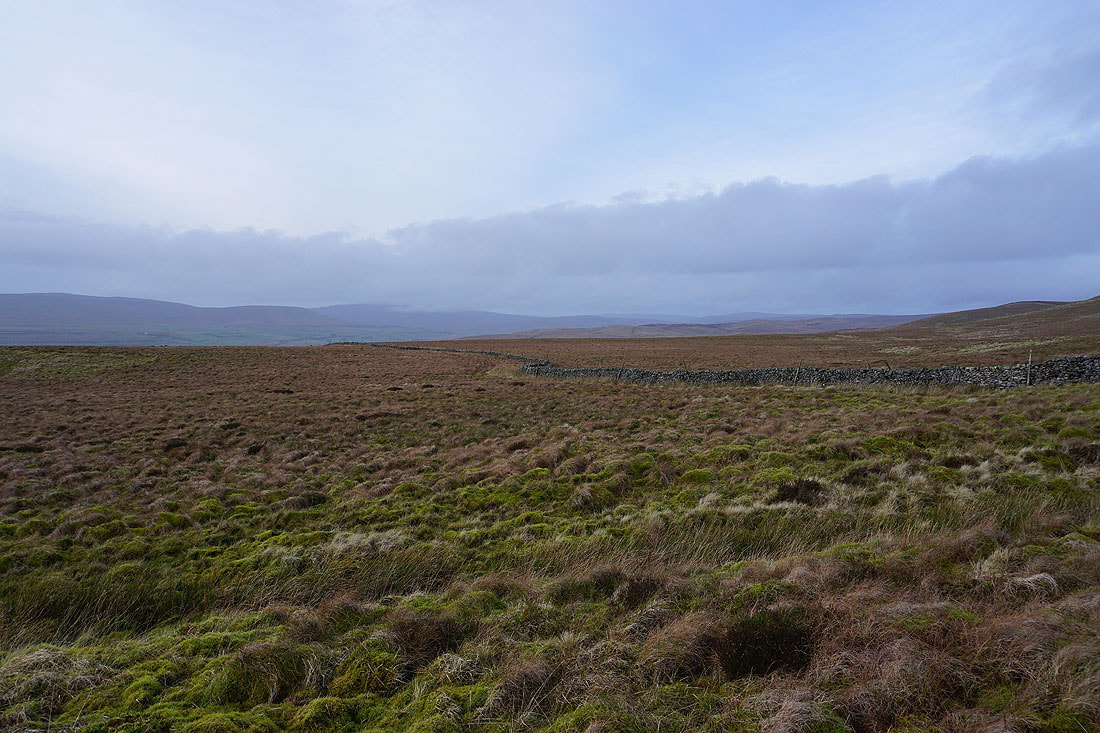
Following the bridleway across Foxup Moor
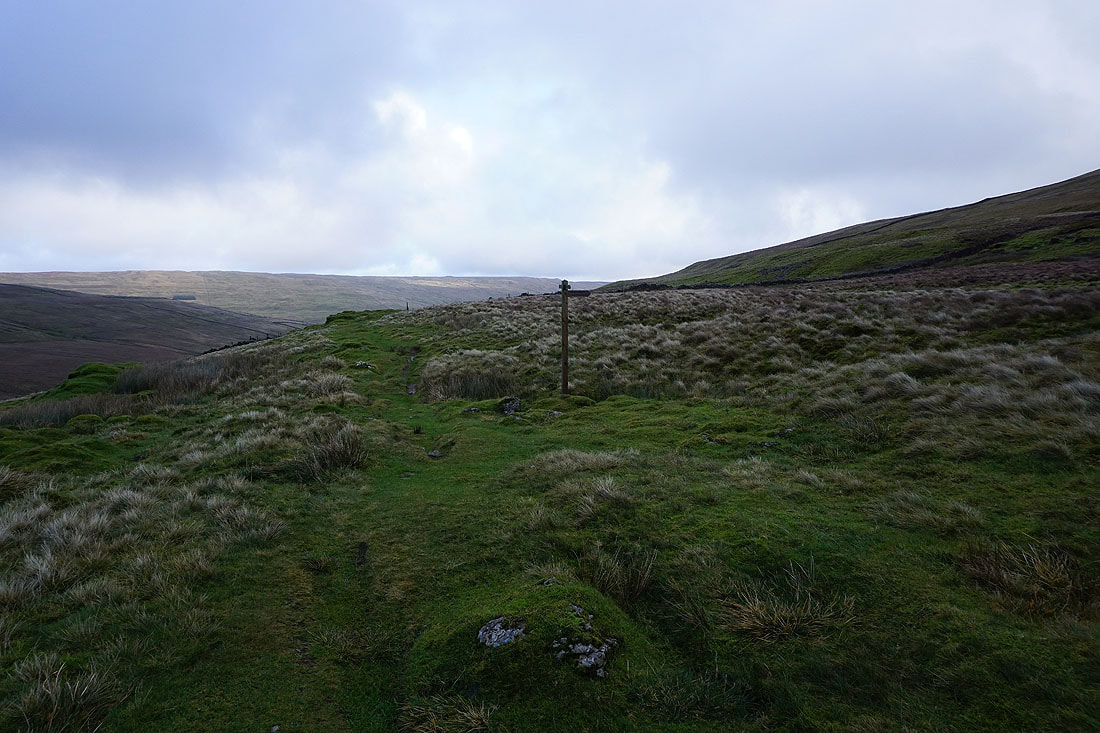
Time to leave the bridleway and climb the path up onto Plover Hill
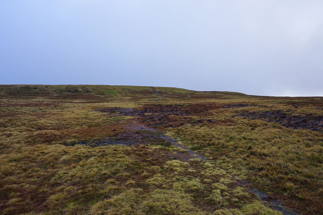
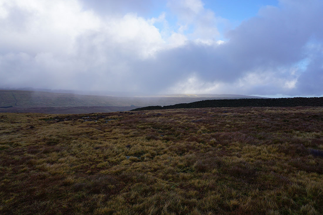
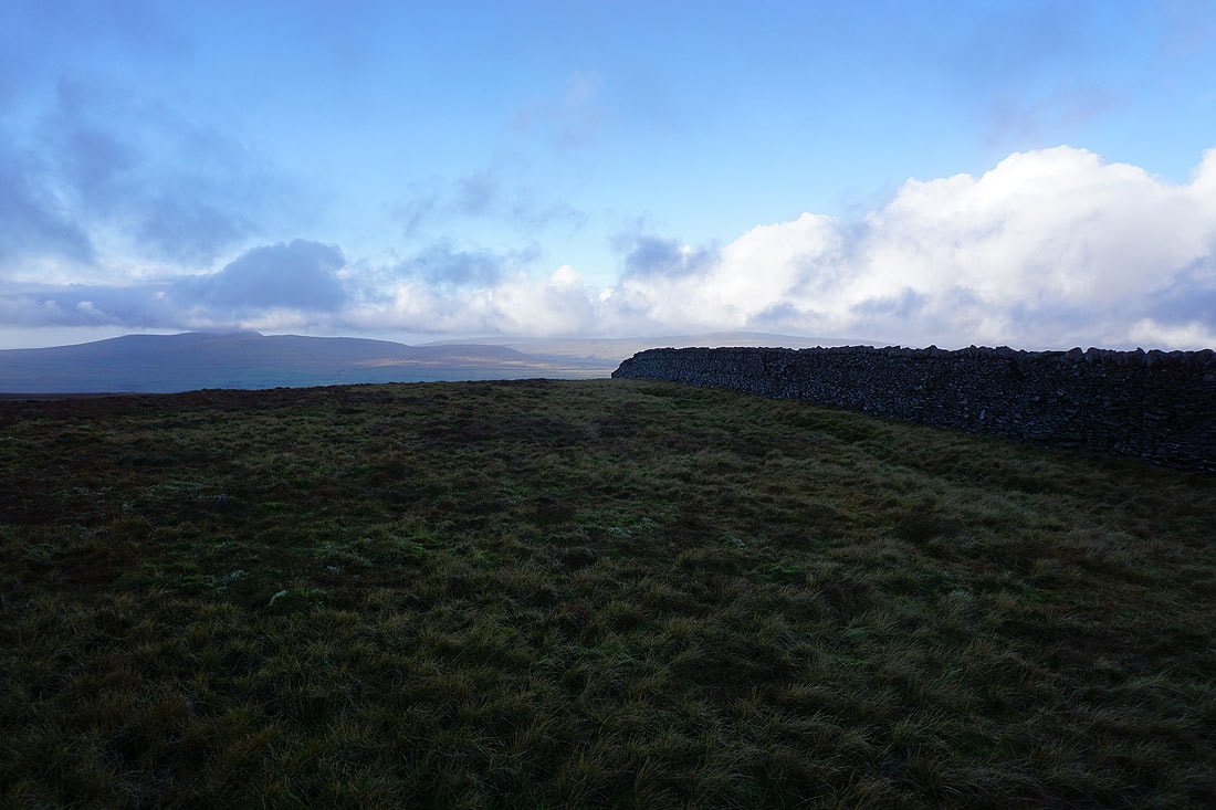
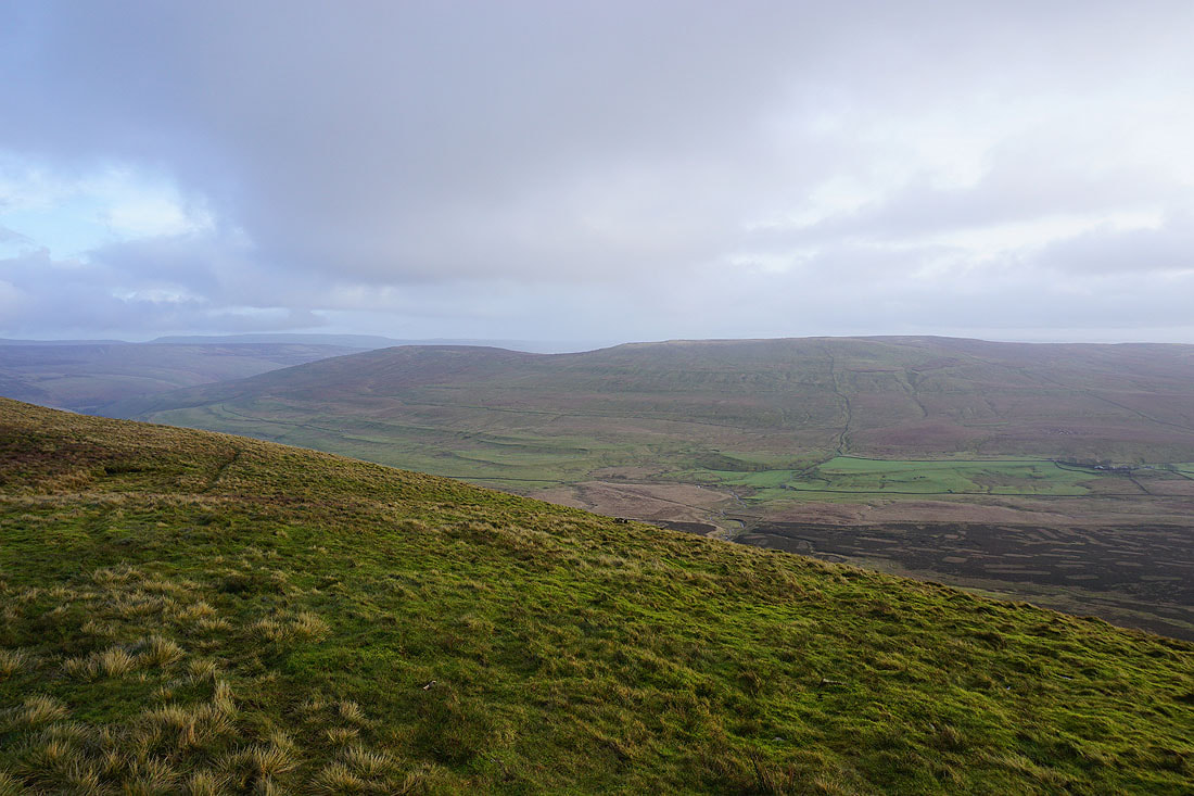
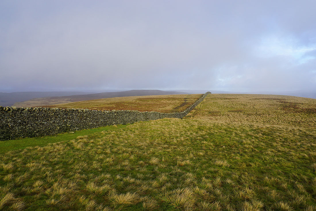
At the top of the climb and I'm still below the cloud. Could it be lifting?
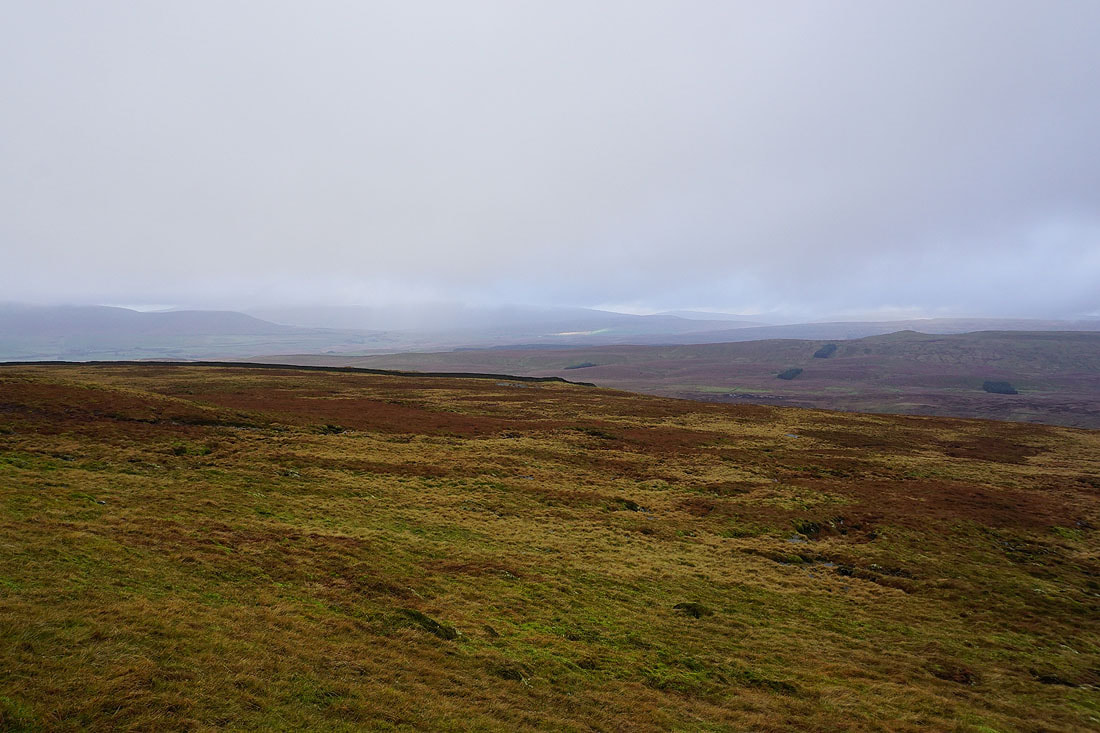
Behind me, patches of blue sky and glimpses of distant fells..
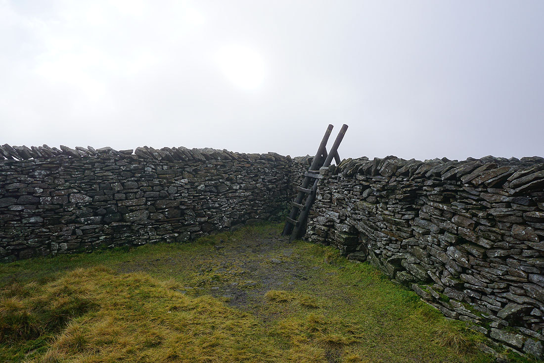
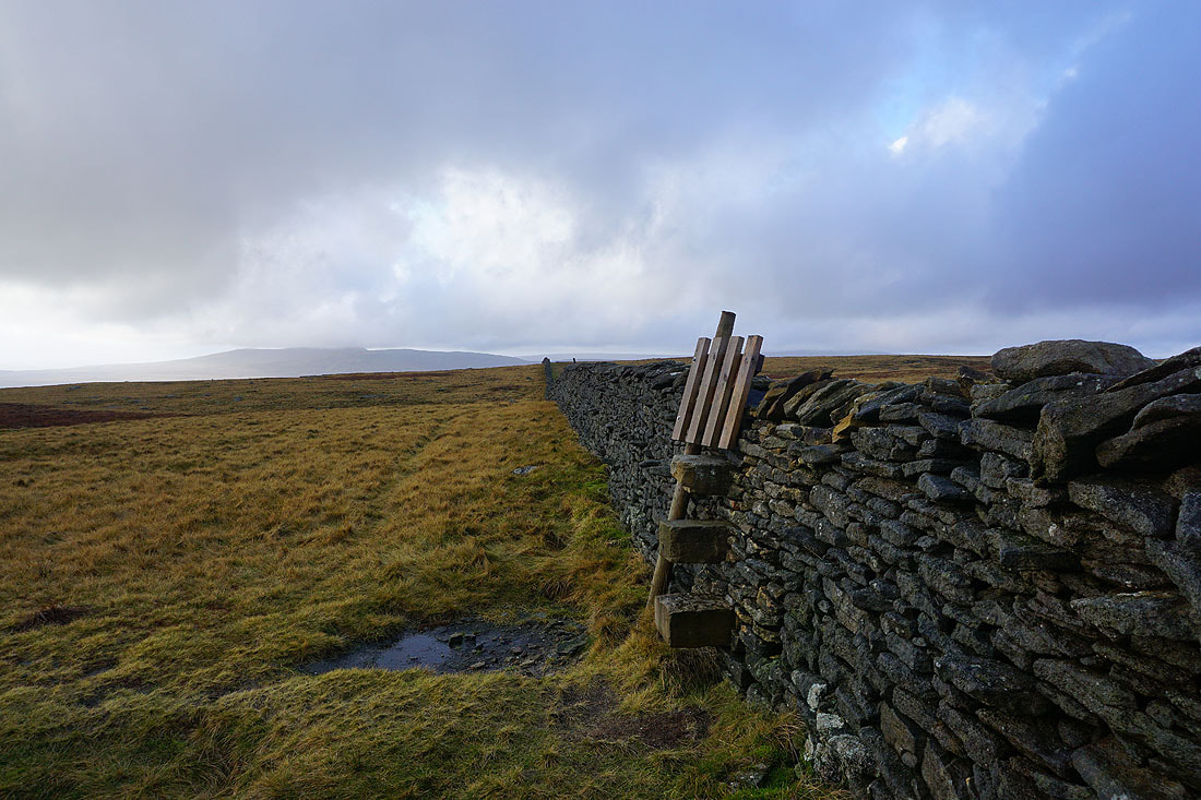
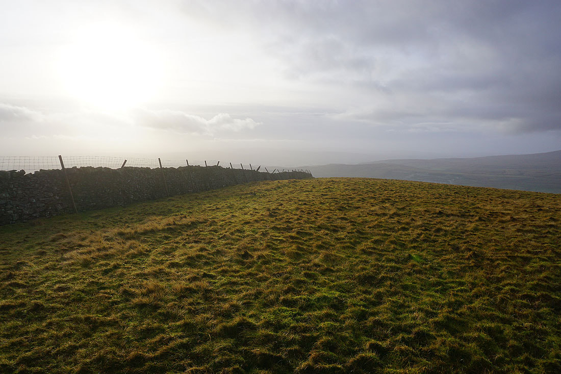
The sun briefly shines through the cloud before I cross the stile for the path to Penyghent
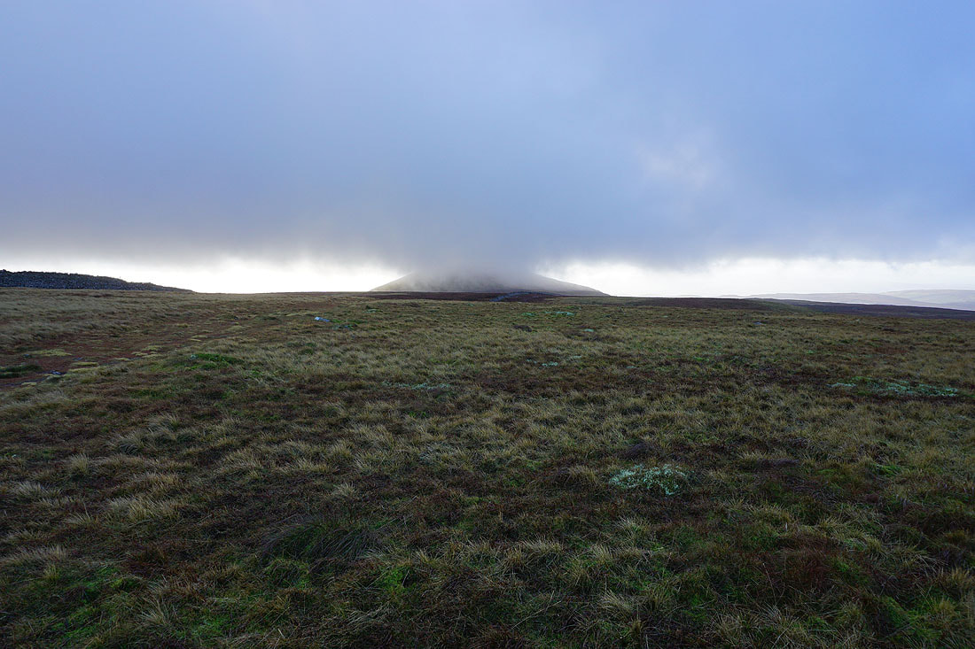
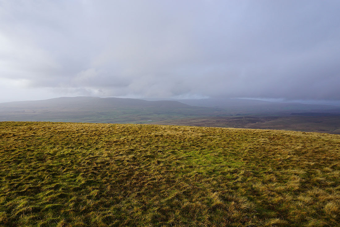
Just below the cloud
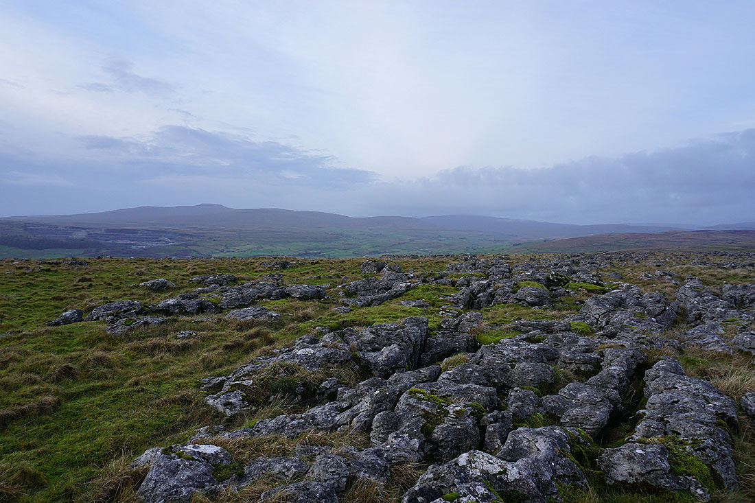
To the west, it's clearing from Ingleborough and Whernside
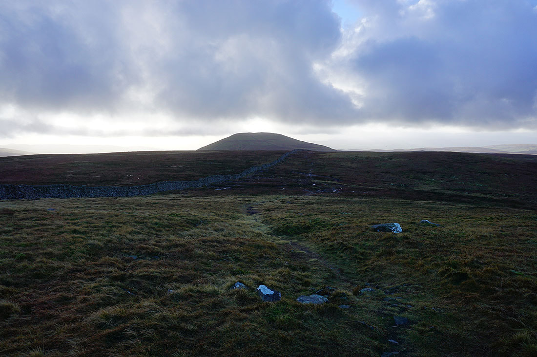
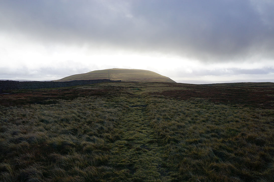
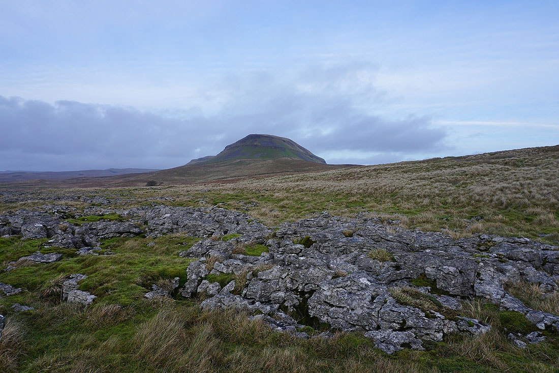
Heading for Penyghent..
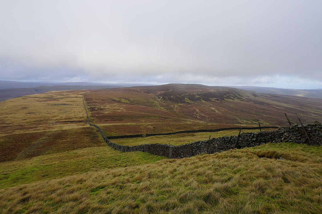
Ingleborough in the distance as I cross the wall halfway between Plover Hill and Penyghent
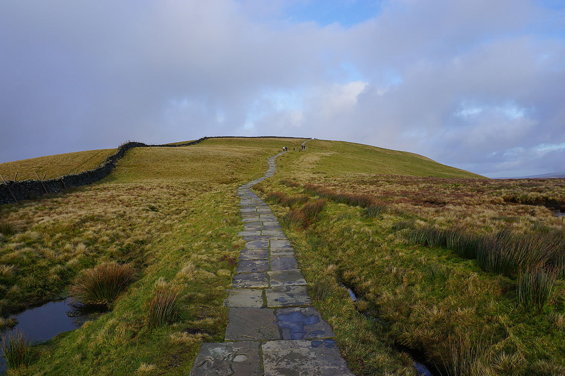
Looking back to Plover Hill
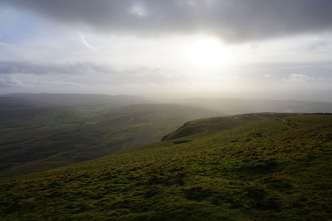
On the summit of Penyghent. The view down Ribblesdale comes and goes...
Looking across the top of Silverdale to Darnbrook Fell and Fountains Fell
Plover Hill to the north
Looking across Ribblesdale to Ingleborough and Whernside
and southwest towards the Forest of Bowland
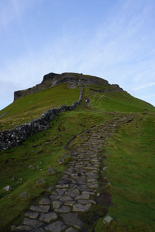
Looking back up the flagged path to the summit..
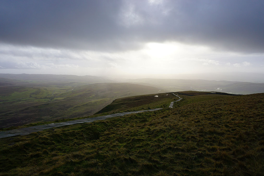
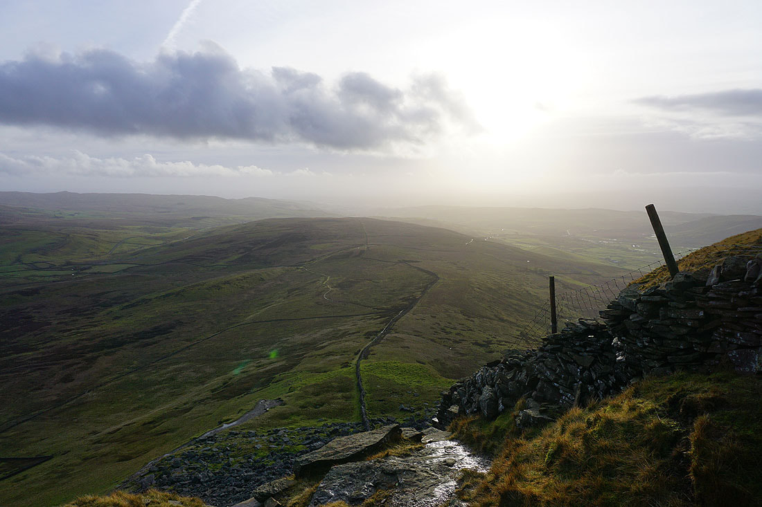
..as I reach the first of the steep climbs down. The moorland of Overdale below separates Silverdale on the left from Ribblesdale on the right.
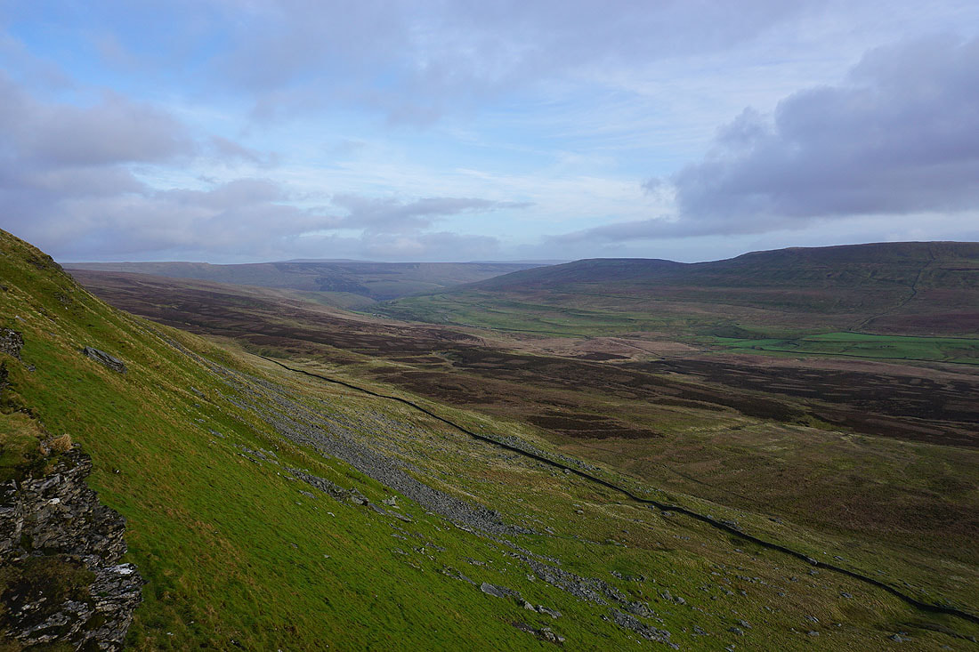
A pause in the descent gives me an opportunity to take a photo of Penyghent Gill, Darnbrook Fell and Fountains Fell
Below the limestone crags of Penyghent
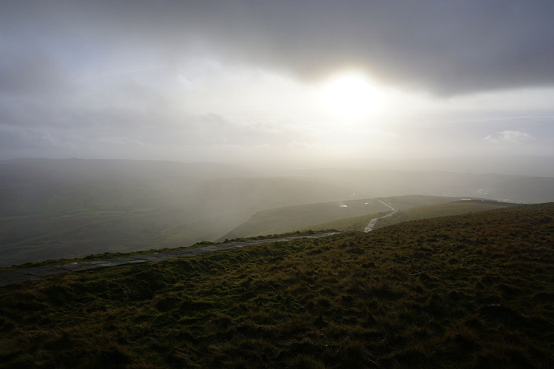
The sun disappears behind thickening cloud above the boggy moorland of Overdale
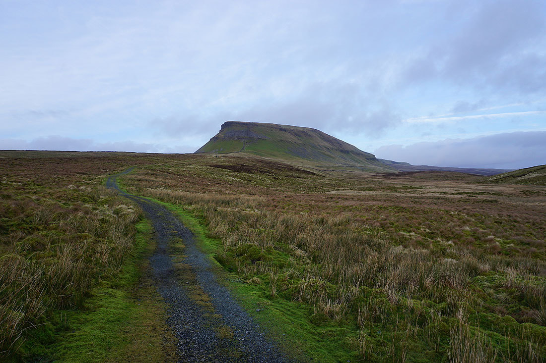
Looking back to Penyghent as I head south on the Pennine Way
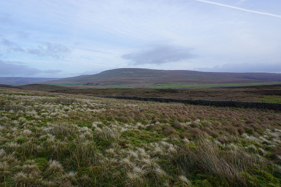
and across the top of Silverdale to Fountains Fell
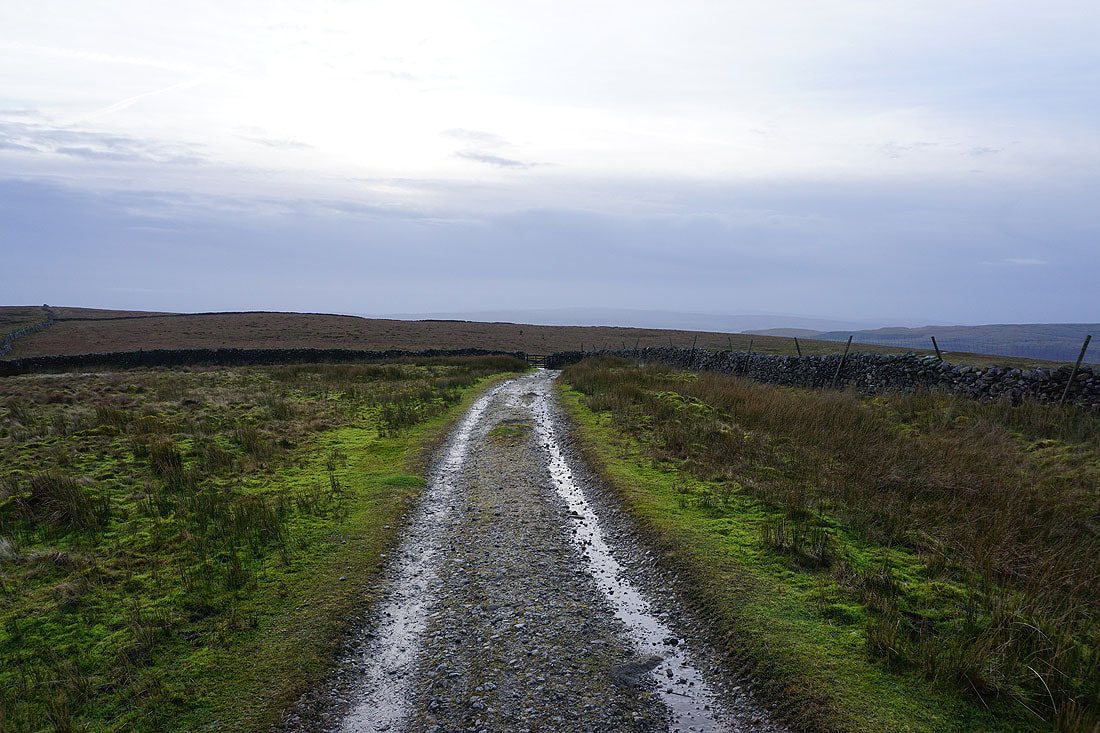
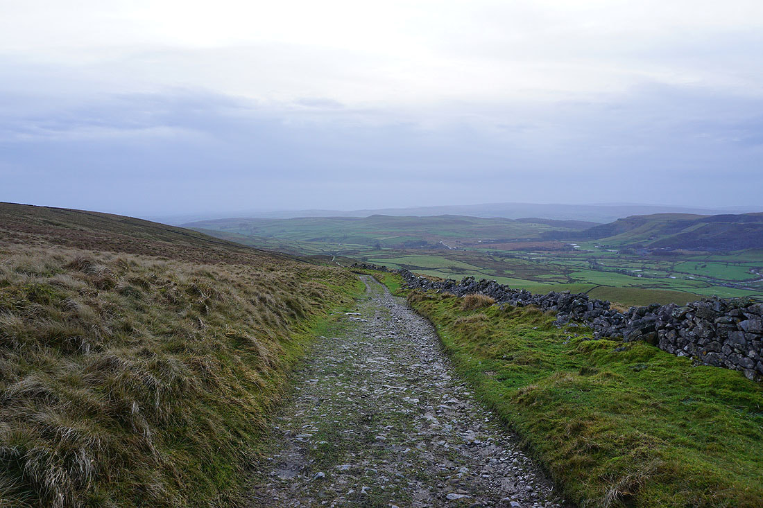
Heading south down the track of Long Lane..
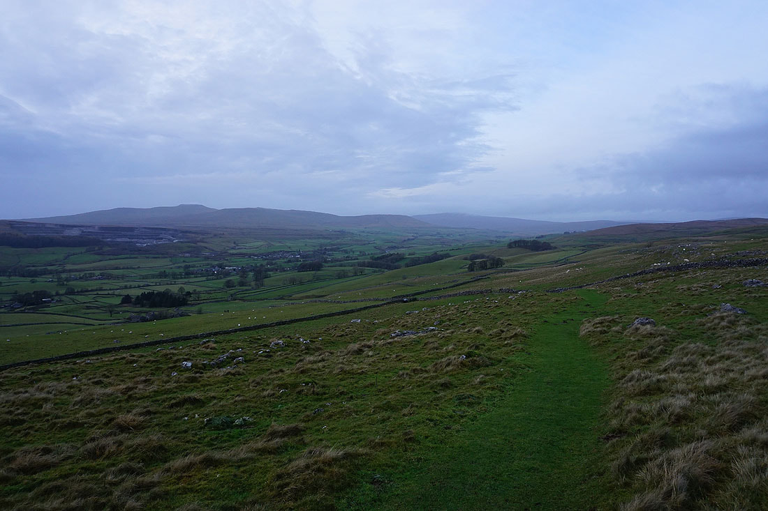
..with views across to Ingleborough and Whernside on the other side of Ribblesdale..
Penyghent from Dub Cote Scar
Along with Ingleborough and Whernside on the other side of Ribblesdale
From Dub Cote Scar I have a brief walk down Long Lane to reach the bridleway to Dub Cote
I leave the track of Long Lane for the bridleway down to Dub Cote..
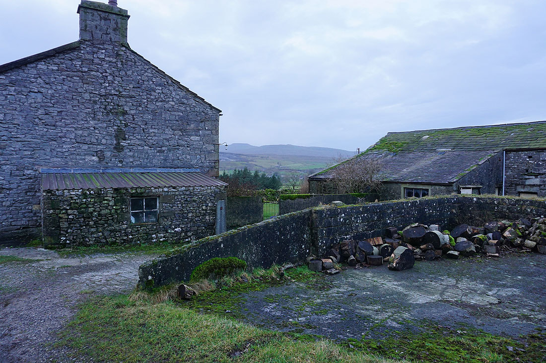
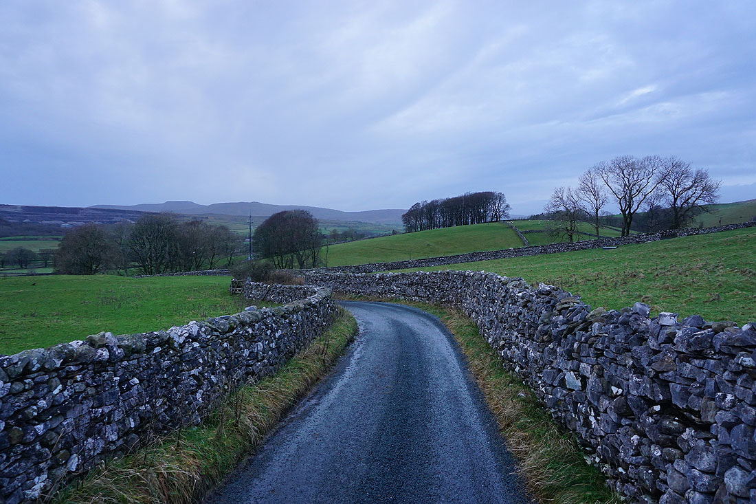
Then from Dub Cote I walk down the lane through Brackenbottom to Horton..
