1st July 2012 - Longridge Fell
Walk Details
Distance walked: 5.1 miles
Total ascent: 752 ft
OS map used: OL41- Forest of Bowland & Ribblesdale
Time taken: 2.5 hrs
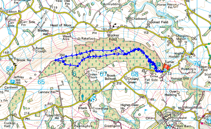
Route description: Kemple End-tracks through forest-Spire Hill-tracks through forest-Kemple End
A simple walk through the forests to the summit of Longridge Fell and back.
Total ascent: 752 ft
OS map used: OL41- Forest of Bowland & Ribblesdale
Time taken: 2.5 hrs
Route description: Kemple End-tracks through forest-Spire Hill-tracks through forest-Kemple End
A simple walk through the forests to the summit of Longridge Fell and back.
Route map
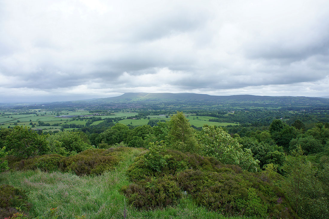
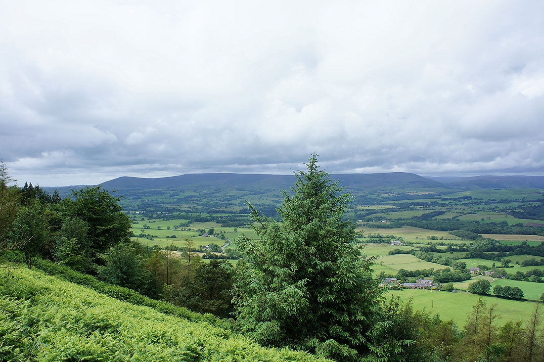
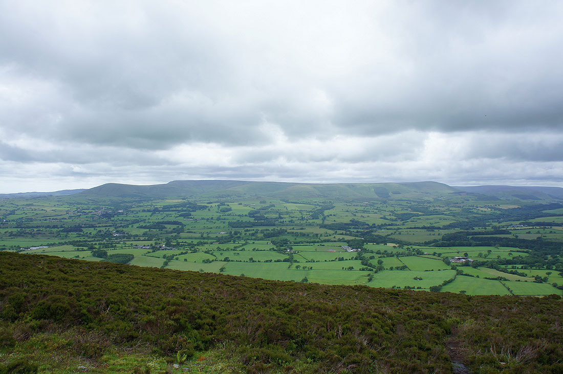
The view from the lay-by at the start of the walk across to Pendle Hill and the Ribble valley. It's showing signs of brightening up.
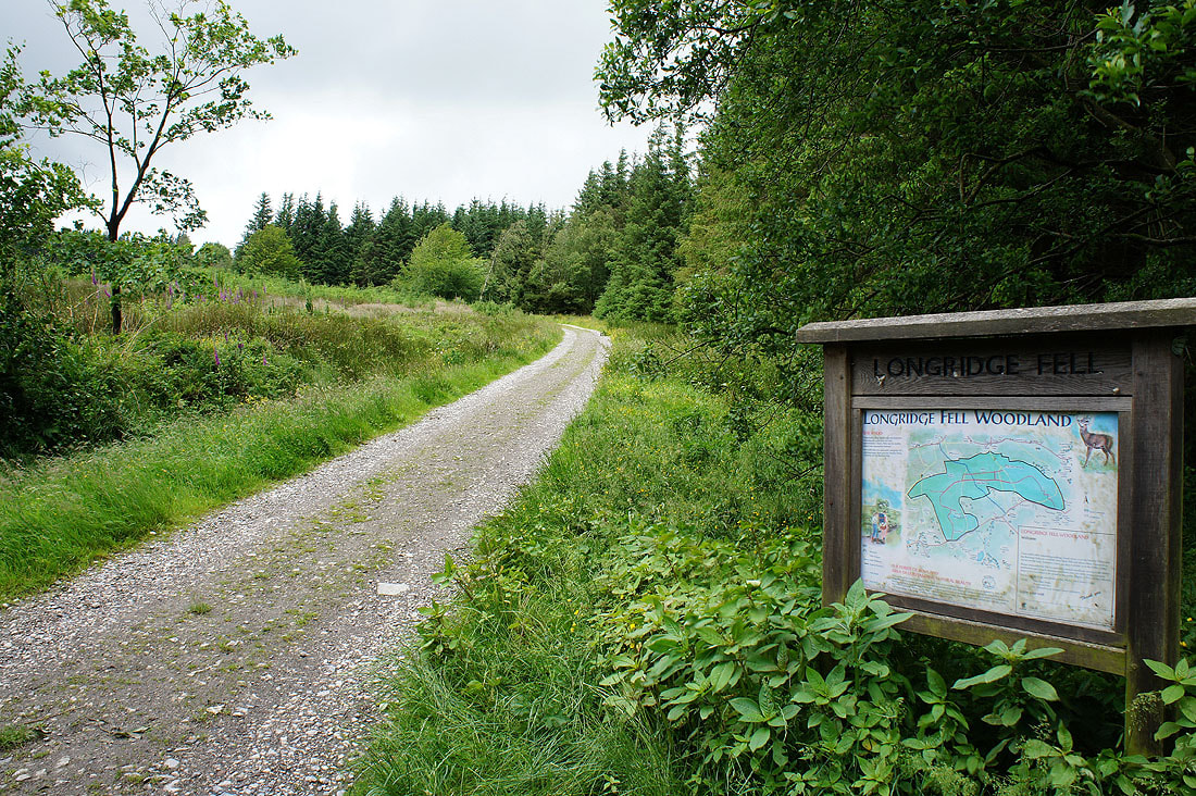
The start of the track into the forest
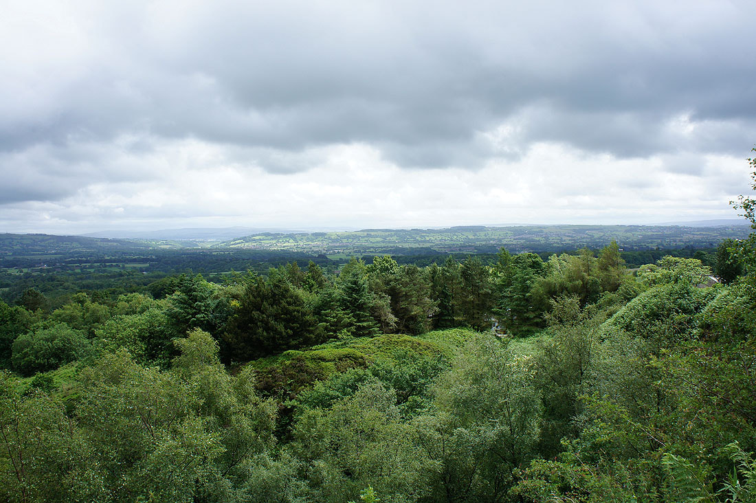
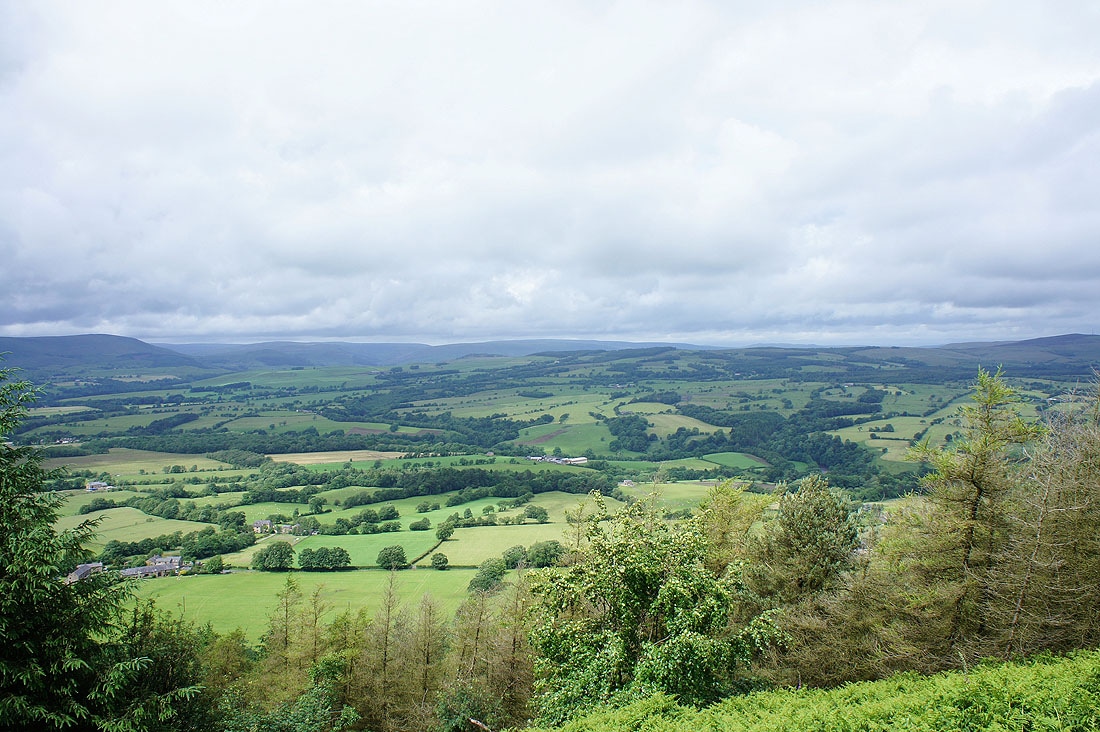
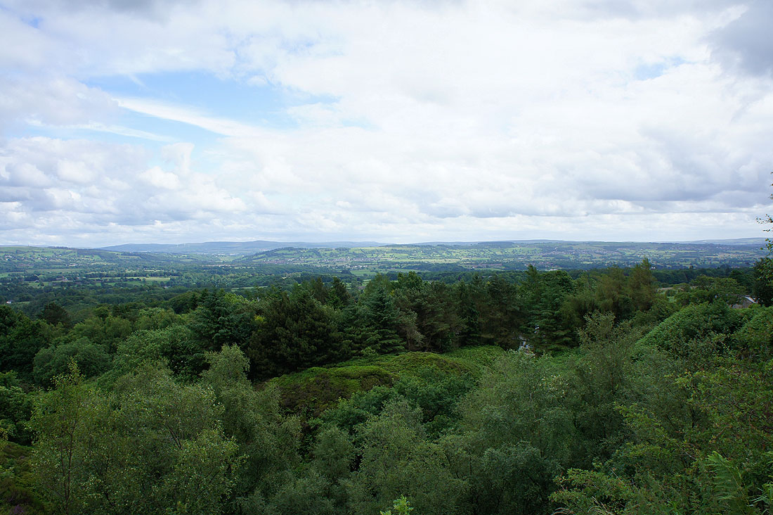
The view from the view point above Walker Fold. Worth a visit and there are a couple of log seats to sit on and enjoy the view.
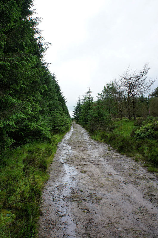
Following a track through the forest to the summit
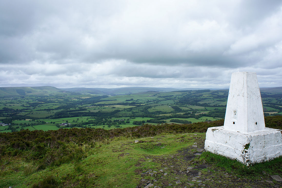
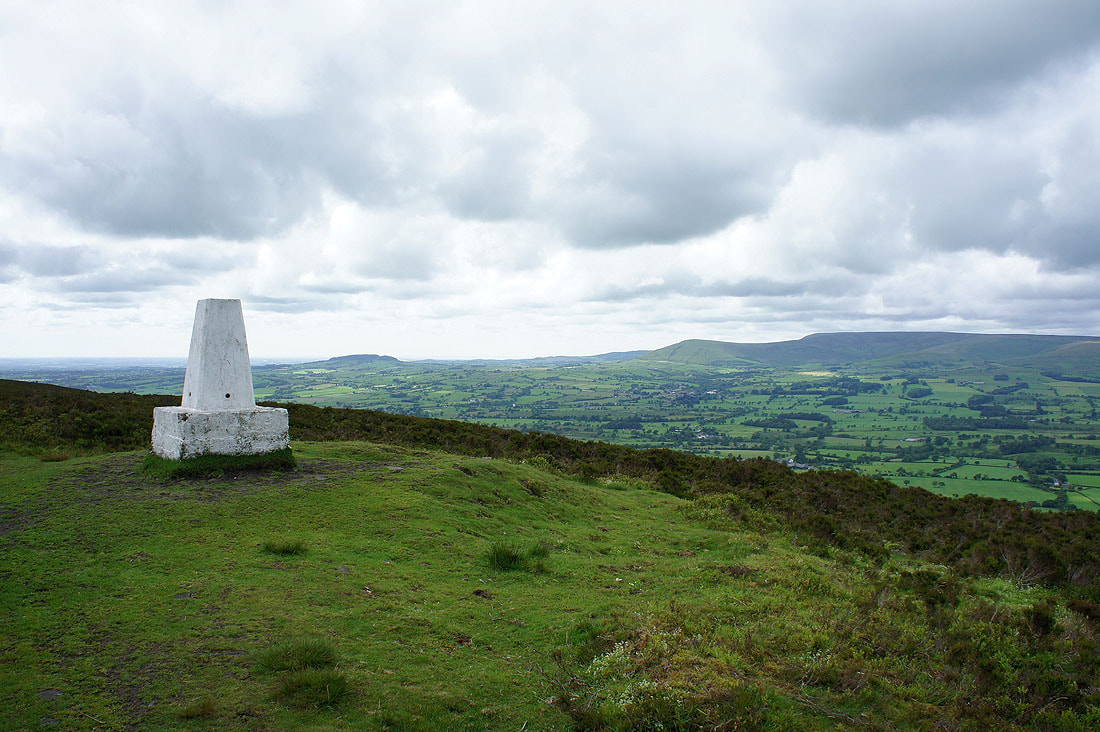
On Spire Hill, the summit of Longridge Fell and a view up the Hodder valley
Parlick, Fair Snape Fell and Totridge
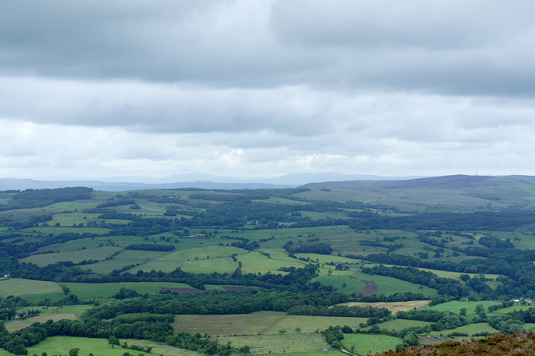
In the distance, Penyghent and Fountains Fell in the Yorkshire Dales
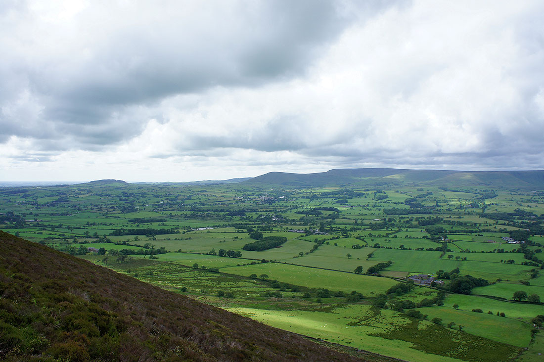
The view from the top of the slope across to Beacon Fell, Parlick and Fair Snape Fell
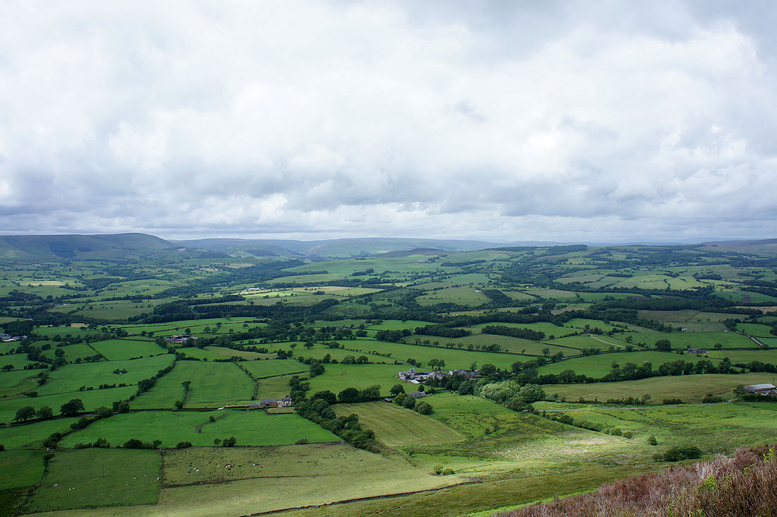
and the Hodder valley
Panorama across the valley
Beacon Fell, Parlick and Fair Snape Fell
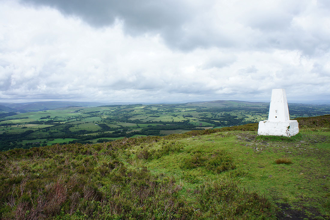
Easington Fell behind the trig point
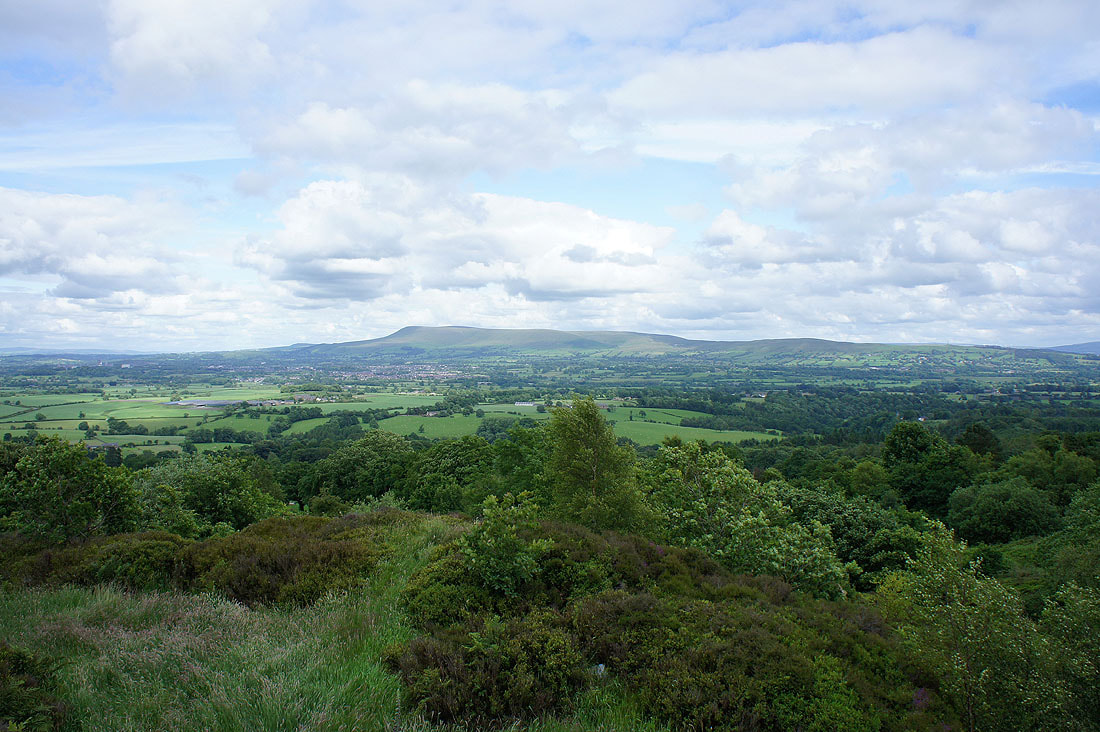
A much brighter end to the walk for the view across to Pendle Hill and the Ribble valley
