1st June 2013 - Top of Leach & Scout Moor
Walk Details
Distance walked: 12.5 miles
Total ascent: 1842 ft
OS map used: OL21 - South Pennines
Time taken: 7 hrs
Route description: Ashworth Moor Reservoir-Knowl Hill-Naden Middle Reservoir-Rooley Moor Road-Top of Leach-Rossendale Way-Cowpe Lowe-Rossendale Way-Whittle Hill-Cheesden Edge-Ashworth Moor Reservoir
After a long work related drive home yesterday the last thing I wanted to do this morning was drive somewhere far away for a walk. This walk on the moors on the eastern side of Rossendale took just 10 minutes for me to drive to where I started from.
From the layby at Ashworth Moor Reservoir I crossed the road to take the path to the top of Knowl Hill. I then descended into Naden Clough to cross the dam of Naden Middle Reservoir and reach the track of Rooley Moor Road. I then followed the track up Rooley Moor to the high point of the walk, Top of Leach. The next stretch of the walk saw me using the Rossendale Way along the edge of the moors through the disused Cragg Quarry to the hill of Cowpe Lowe. After a visit to the summit I was back on the Rossendale Way to the next summit of Whittle Hill. My route back took me past the turbines on Scout Moor to Ashworth Moor and the layby.
Route map
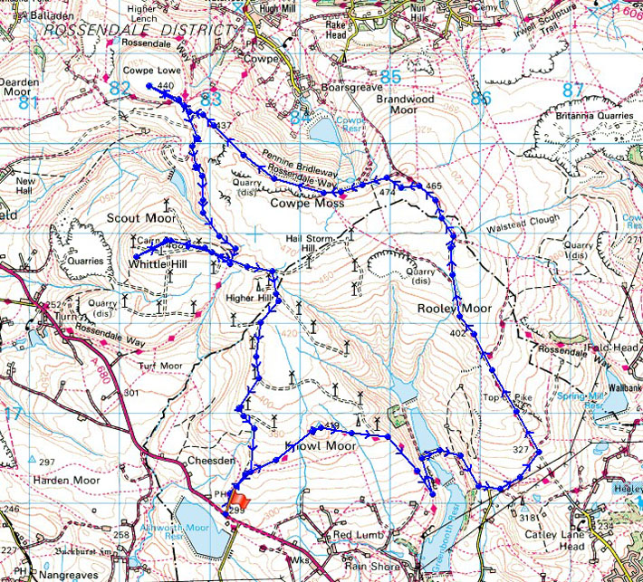
© Crown copyright. All rights reserved. License number PU 100034184.
Looking back to Ashworth Moor Reservoir as I head up onto Knowl Moor
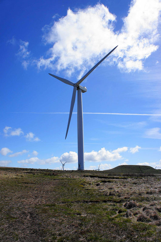
The only deliberate picture I'll taking of one of these today
On the summit of Knowl Hill. Winter Hill and Holcombe Moor behind the turbines.
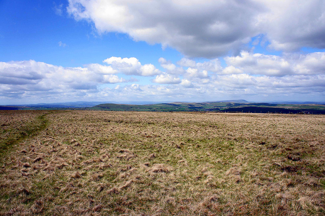
Peak District hills in the distance
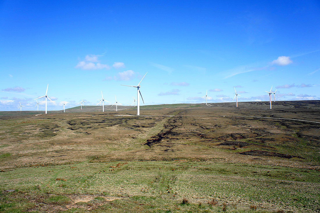
Scout Moor
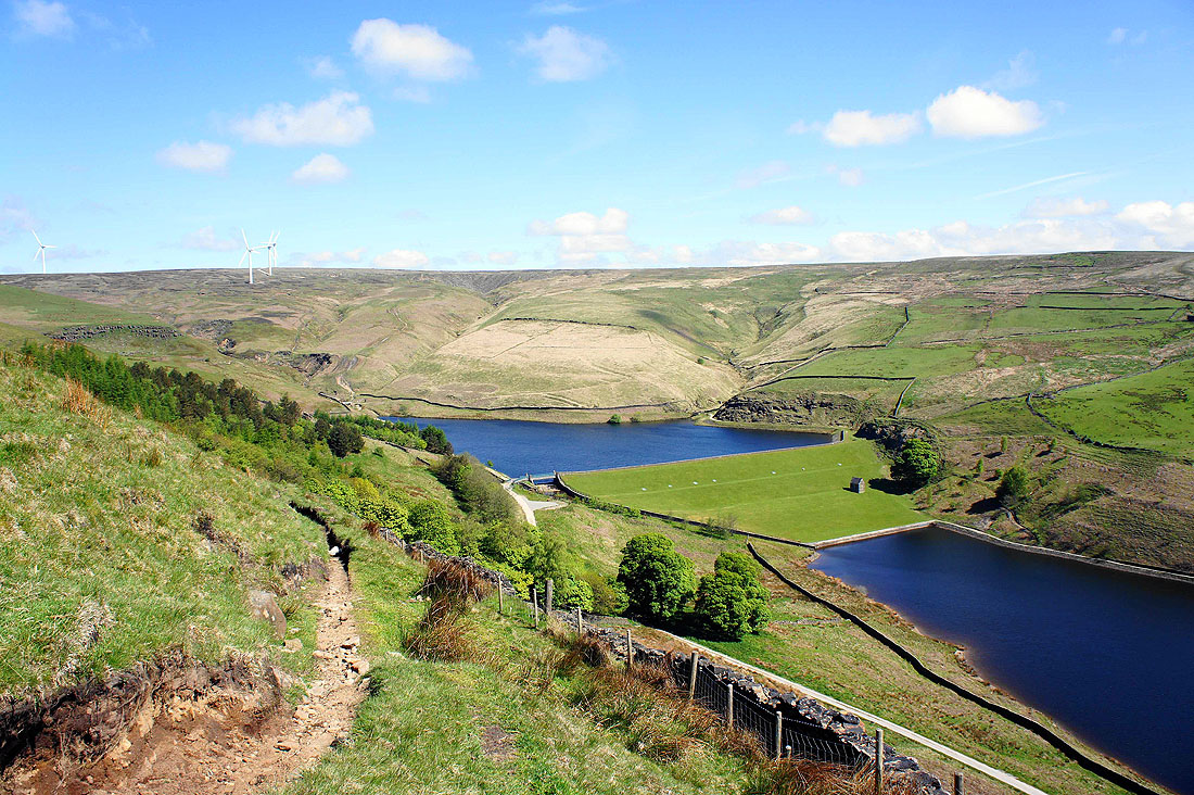
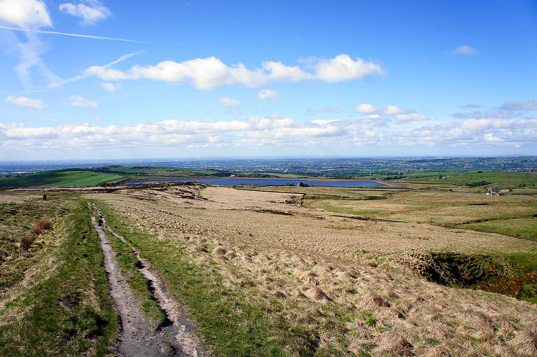
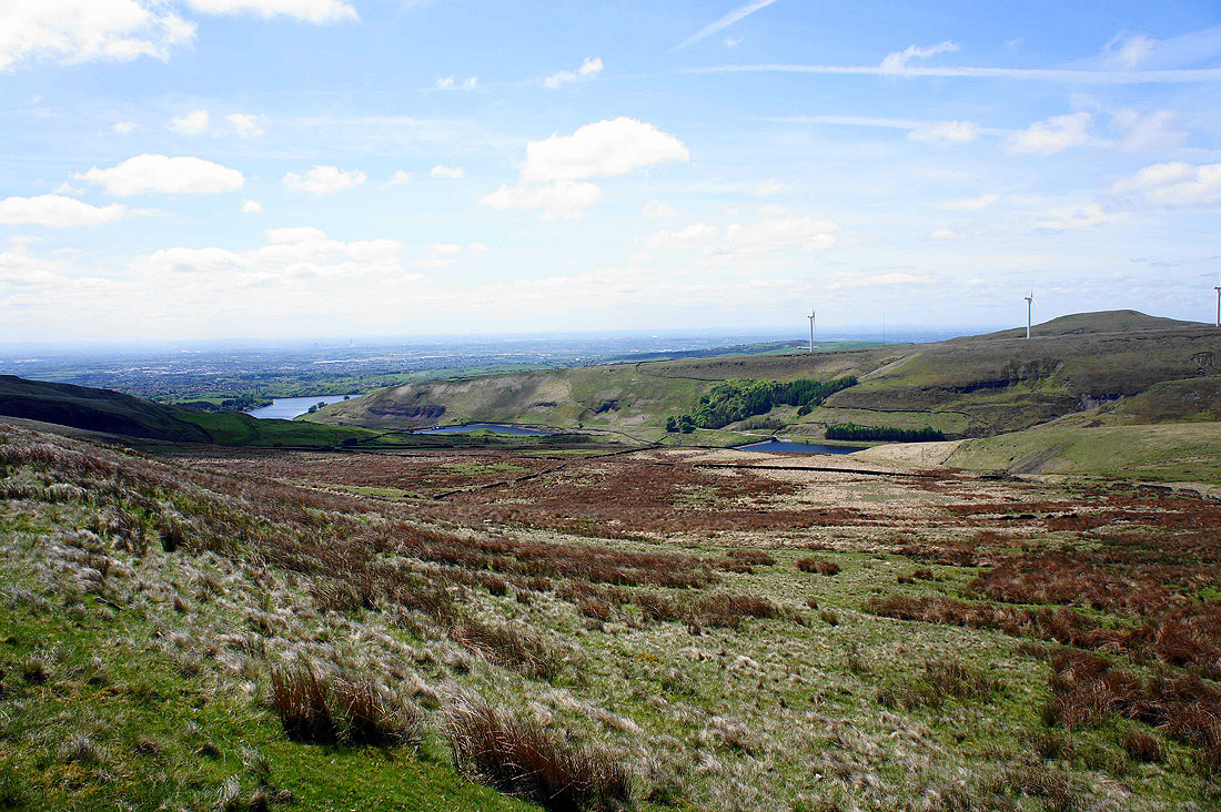
Naden Higher Reservoir as I descend into Naden Clough
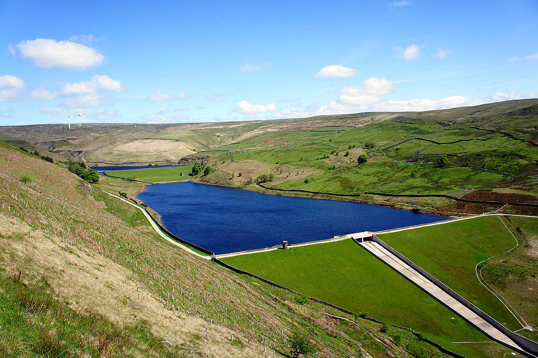
Naden Middle Reservoir
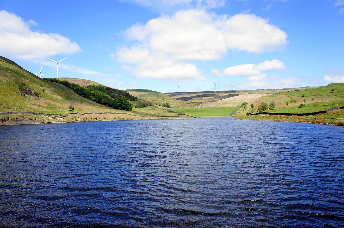
and again from its dam
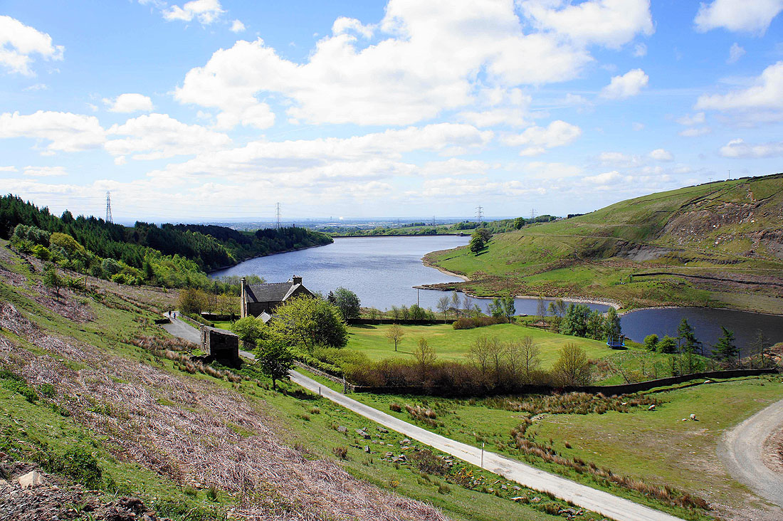
Greenbooth Reservoir
A retrospective view of Naden Clough as I head for Rooley Moor
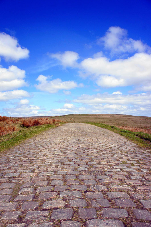
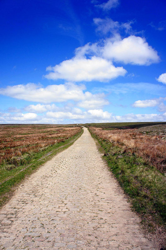
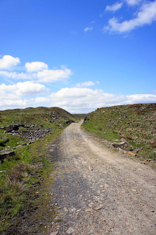
Joining the cobbled track of Rooley Moor Road which I'll follow all the way to Top of Leach
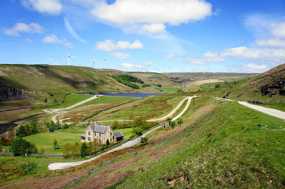
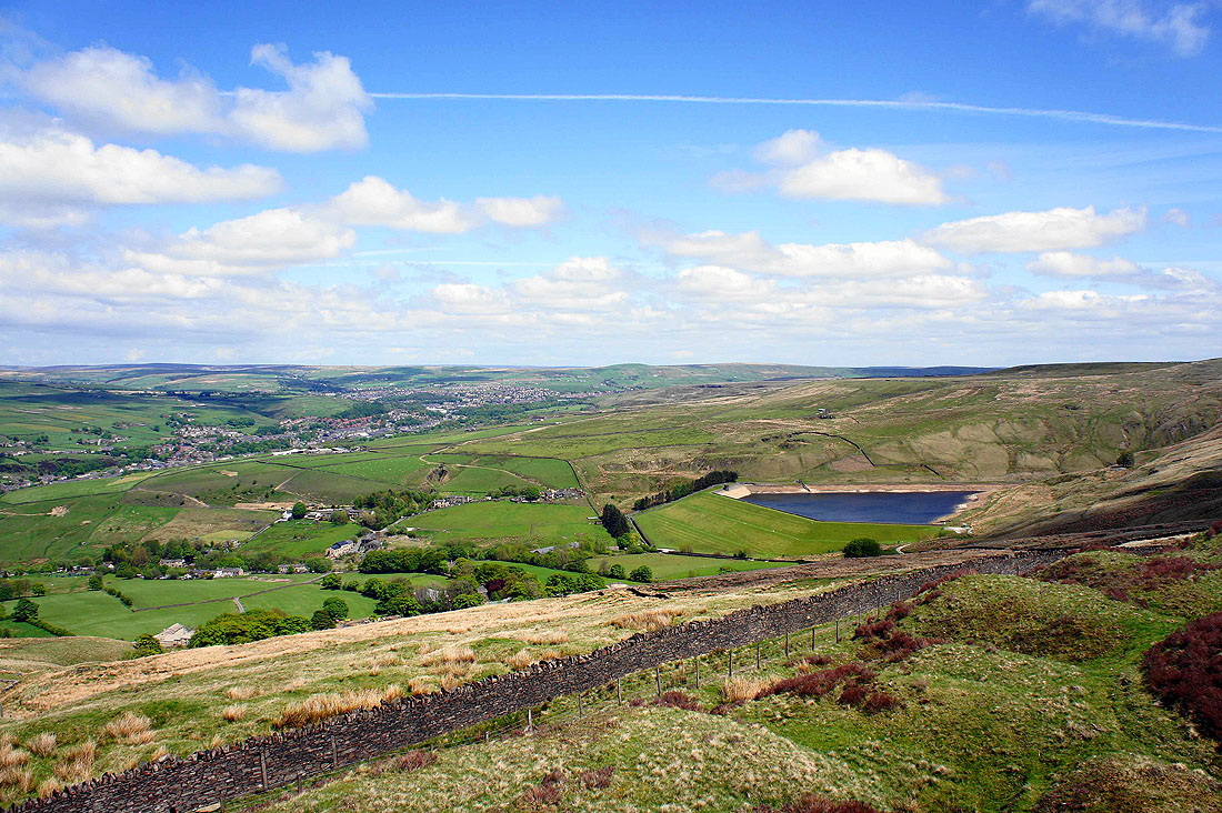
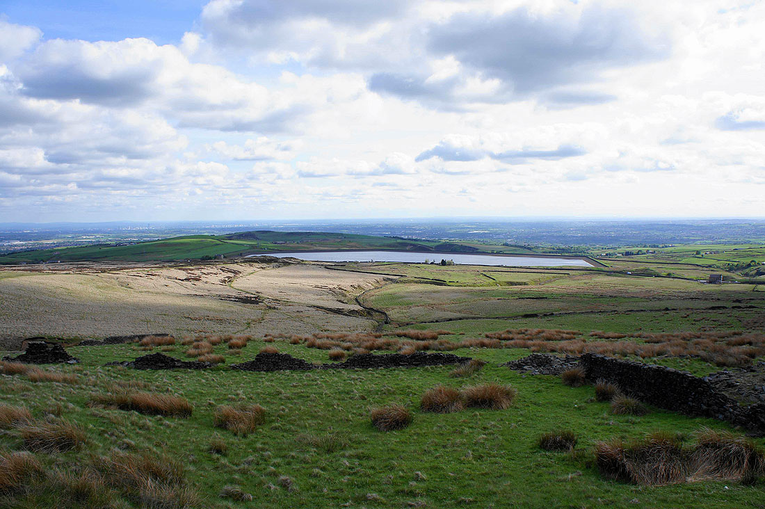
The reservoirs of Naden Clough below. That's Knowl Hill on the right.
Onwards and upwards
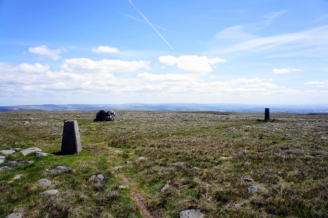
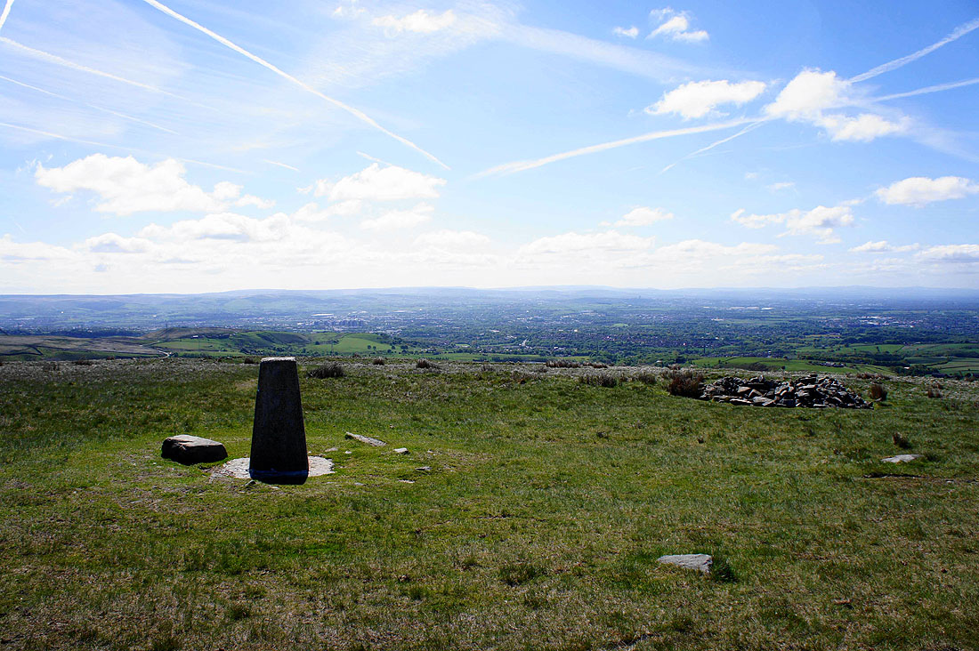
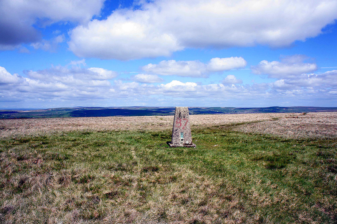
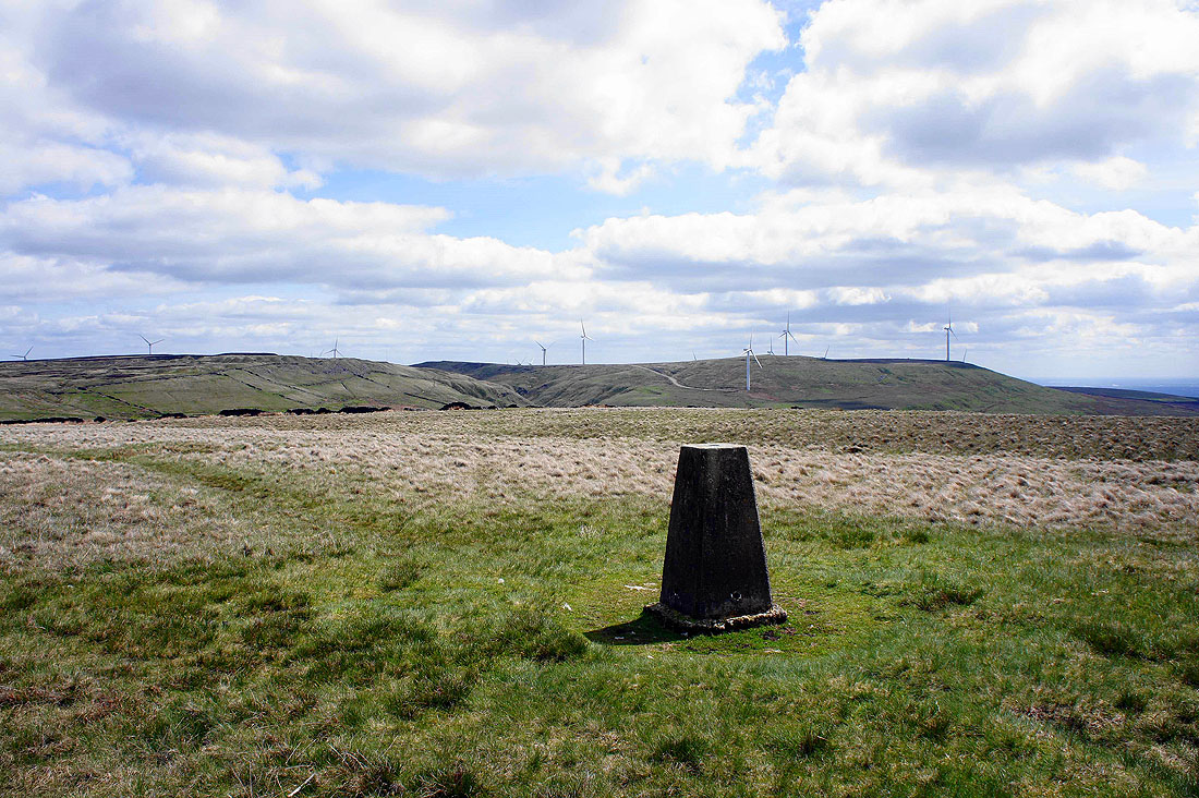
The summit of Top of Leach. A trig point, a wind shelter and a commemorative post.
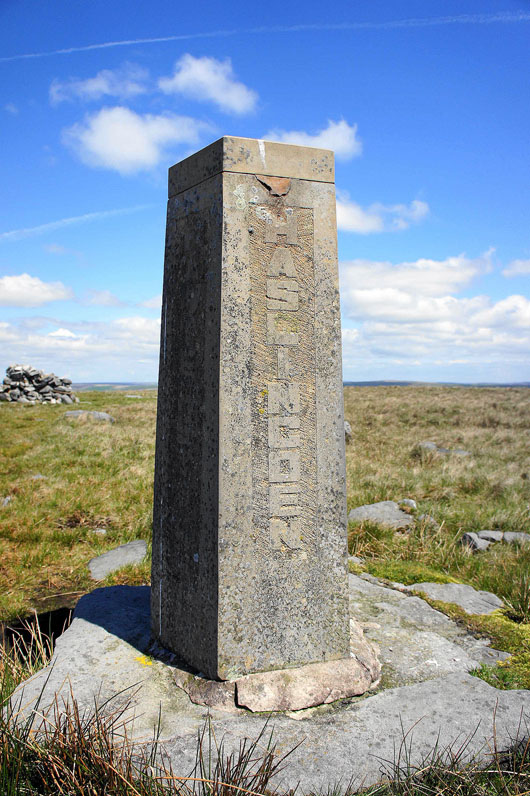
Haslingden, where I live, on this side and on the others, Rawtenstall, Whitworth and Ramsbottom. The post is five-sided and the fifth describes that the post was put up to commemorate the creation of the Borough of Rossendale in April 1974. I can't remember when it says it was erected though. It does look pretty new. Top of Leach is the highest point in Rossendale.
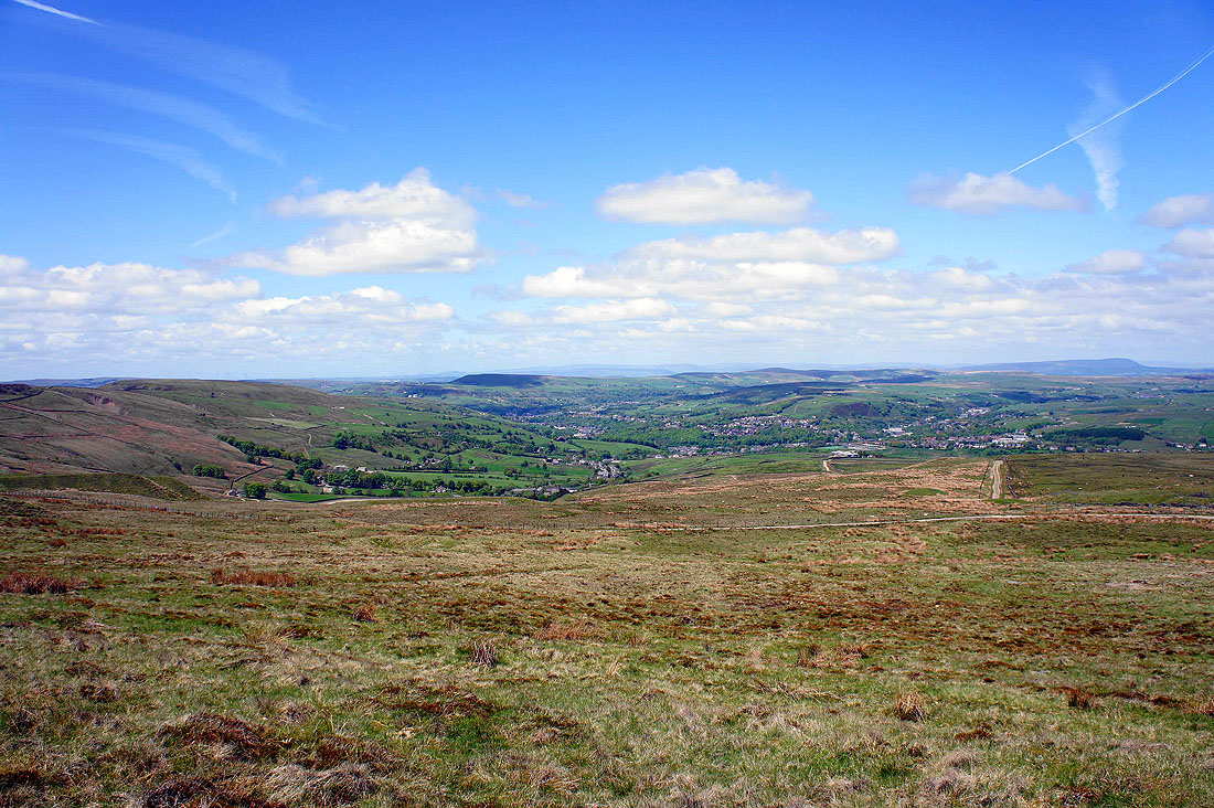
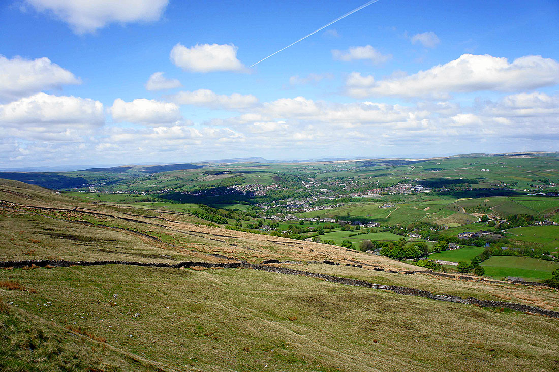
The view from Top of Leach. Looking down the Rossendale valley towards Cribden Hill with the faint outline of the hills of the Forest of Bowland in the distance.
Pendle Hill away to the north
and to the northeast the high point in the middle of the picture is Boulsworth Hill. The town in the valley below is Bacup.
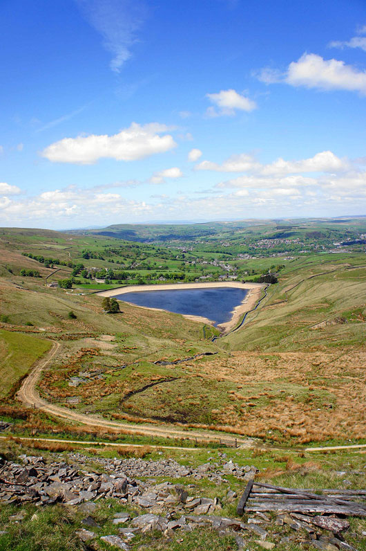
I've left Top of Leach to follow the Rossendale Way to Cowpe Lowe. Cowpe Reservoir below.
Passing through the disused Cragg Quarry
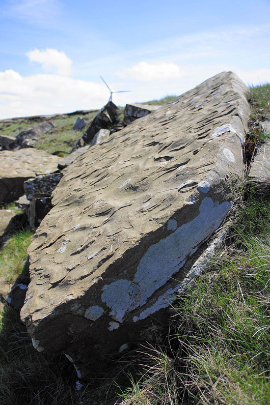
Ripples frozen in time
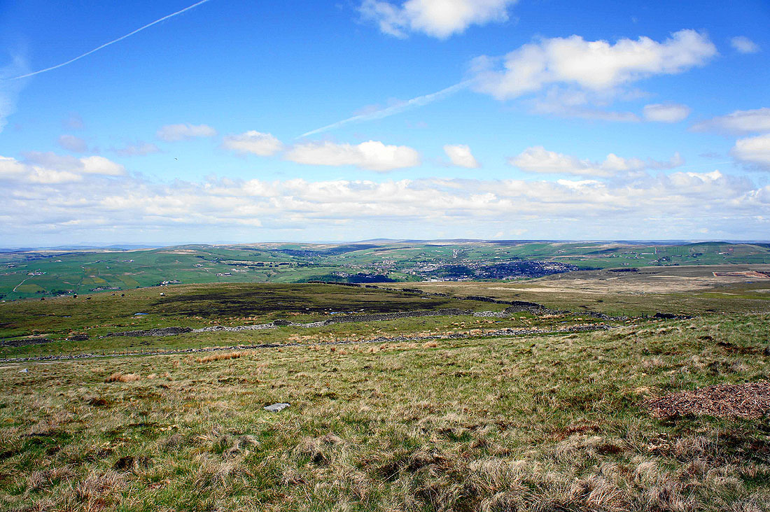
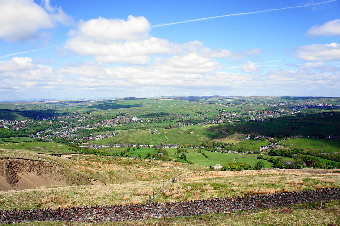
Views across the Rossendale Valley as I make my way along the bridleway...
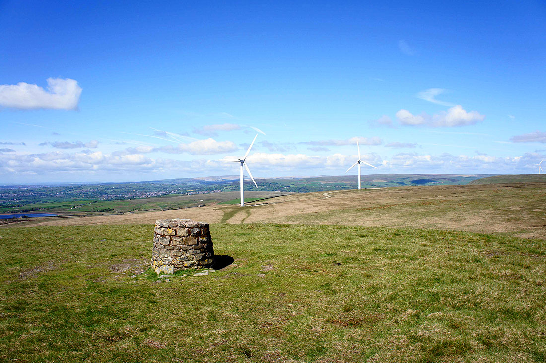
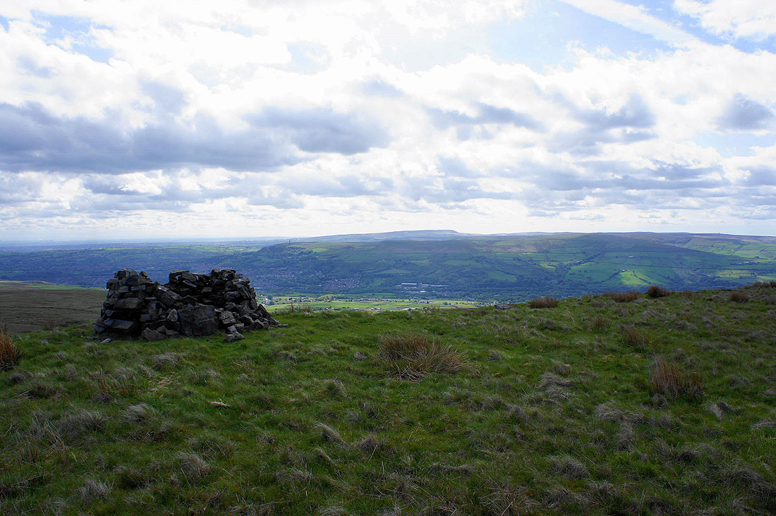
The summit trig on Cowpe Lowe
The top is very flat so I've made my way across to the western edge of the summit to see Haslingden in the valley below and across to the West Pennine Moors
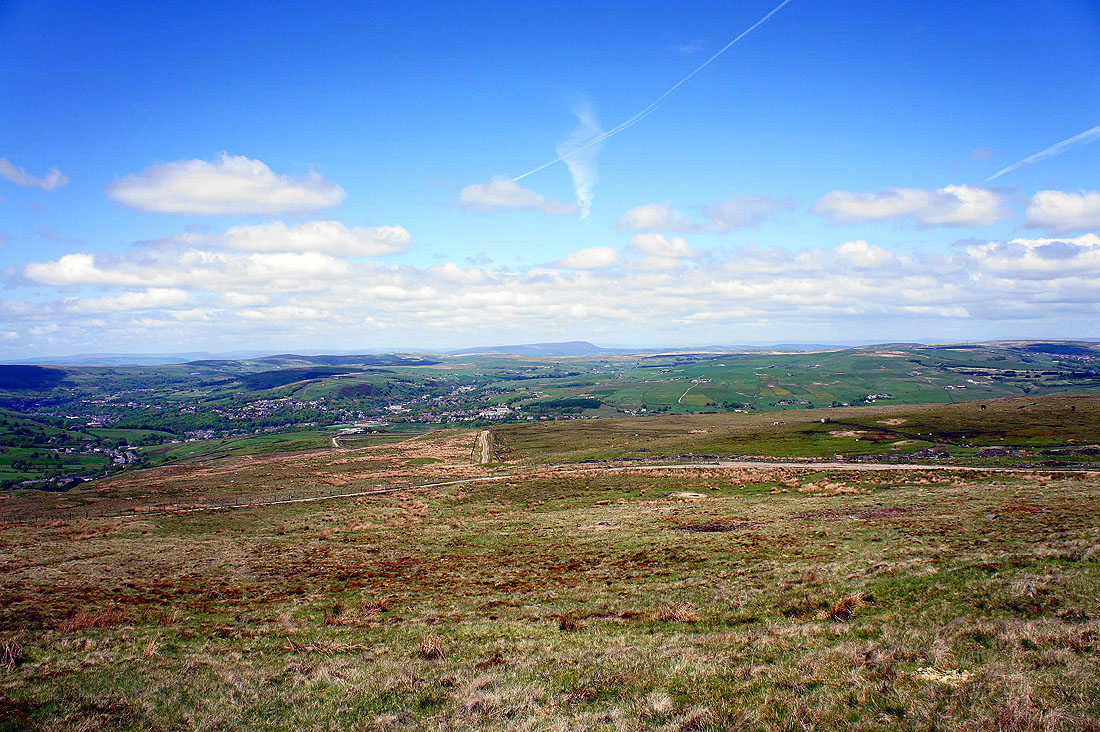
Cribden Hill and distant Pendle Hill on the right as I head back to the summit
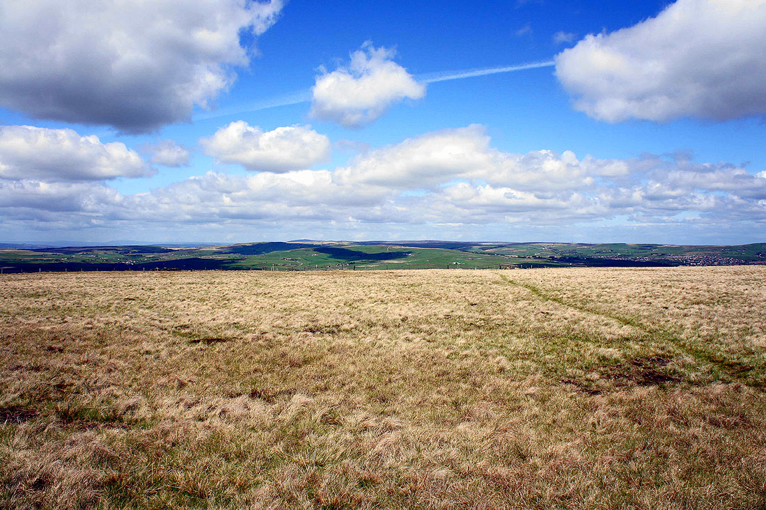
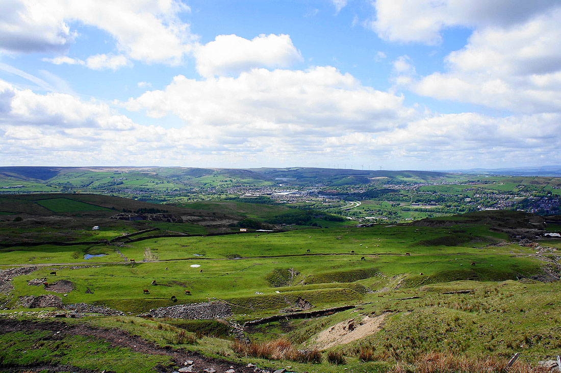
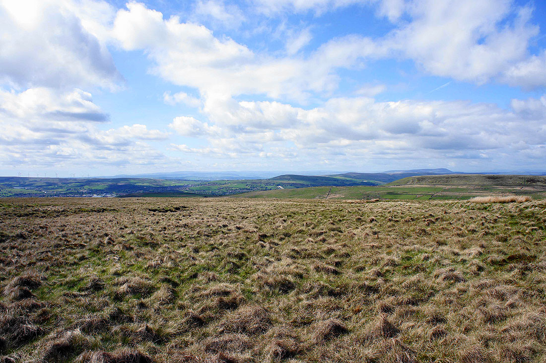
South Pennine moors
The next destination of Scout Moor
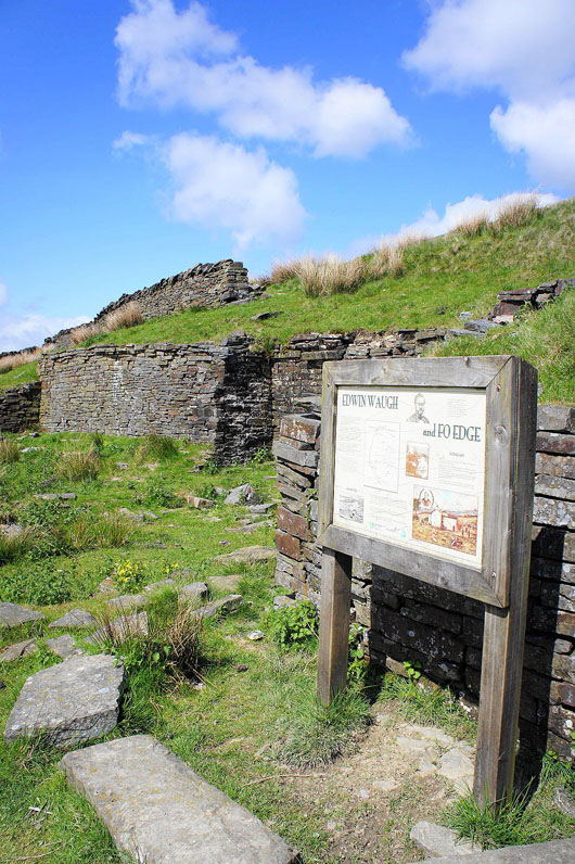
The ruins of Fo Edge Farm. Edwin Waugh the Lancashire dialect poet spent a lot of time here writing his poems.
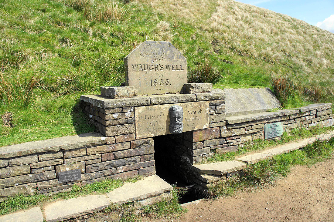
and the nearby Waugh's Well, built in his honour
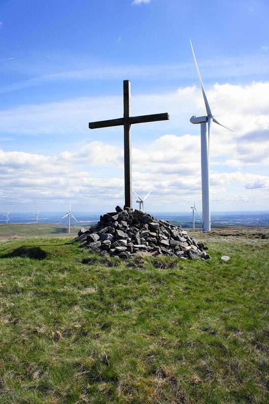
The summit cairn and cross on Whittle Hill
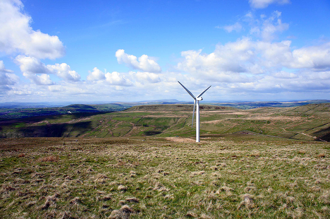
Cowpe Lowe behind the turbine and Pendle Hill in the distance
A short detour to this shelter cairn on Whittle Pike for a view across to Winter Hill and Holcombe Moor
It's great to be up here on a day like today
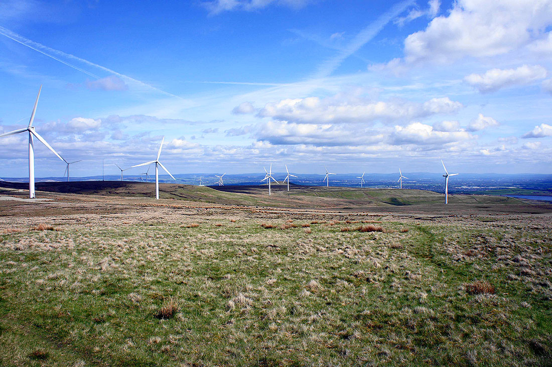
Plenty of turbines for company
Ashworth Moor Reservoir and I'm back where I started