1st June 2014 - Thieveley Pike & Black Scout
Walk Details
Distance walked: 6.2 miles
Total ascent: 1507 ft
OS map used: OL21 - South Pennines
Time taken: 4 hrs
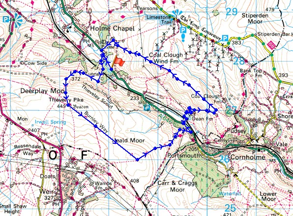
Route description: Layby on A646 southeast of Holme Chapel-Royd Wood-Dean Scout-Thieveley Pike-Heald Moor-A646-Dean Farm-Black Scout-Berril's Green Wood-Layby on A646 southeast of Holme Chapel
Another fine day and I made the short drive to Cliviger for a pleasant few hours walking the moors that surround the valley. It was pretty hazy, so no long distance views but the cloud didn't build up as badly as it did yesterday so there was more sunshine.
From the layby on the A646 southeast of Holme Chapel I followed the road back towards the village for a few hundred yards and then I took the footpath into Royd Wood. At the top of the wood I continued on the path to Dean Scout, up Dean Scout and then on to the top of Thieveley Pike. After crossing Heald Moor I descended into Calderdale to reach the A646. I then crossed the railway line through the valley, took the path past Dean Farm and up the hill and across the moorland of Black Scout. When I reached some farm buildings there was just a short descent of a field and a wood to reach the A646 and the layby.
Route map
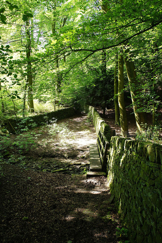
Not long after setting off and I'm walking through Royd Wood
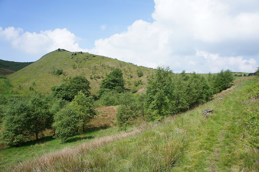
The little ridge of Dean Scout, my route up to Thieveley Pike
The Cliviger gorge and the crags of Thieveley Scout, taken as I turned left to head up Dean Scout
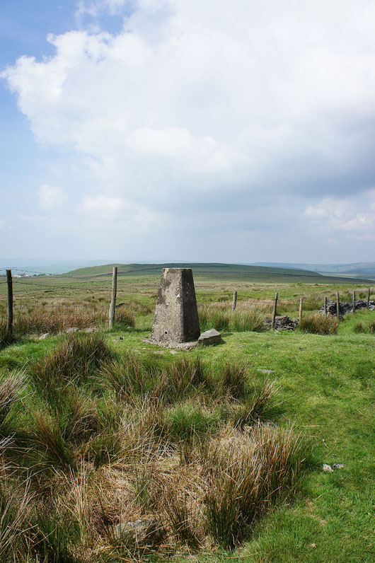
The trig point that marks the summit of Thieveley Pike
A hazy view looking north to Pendle Hill
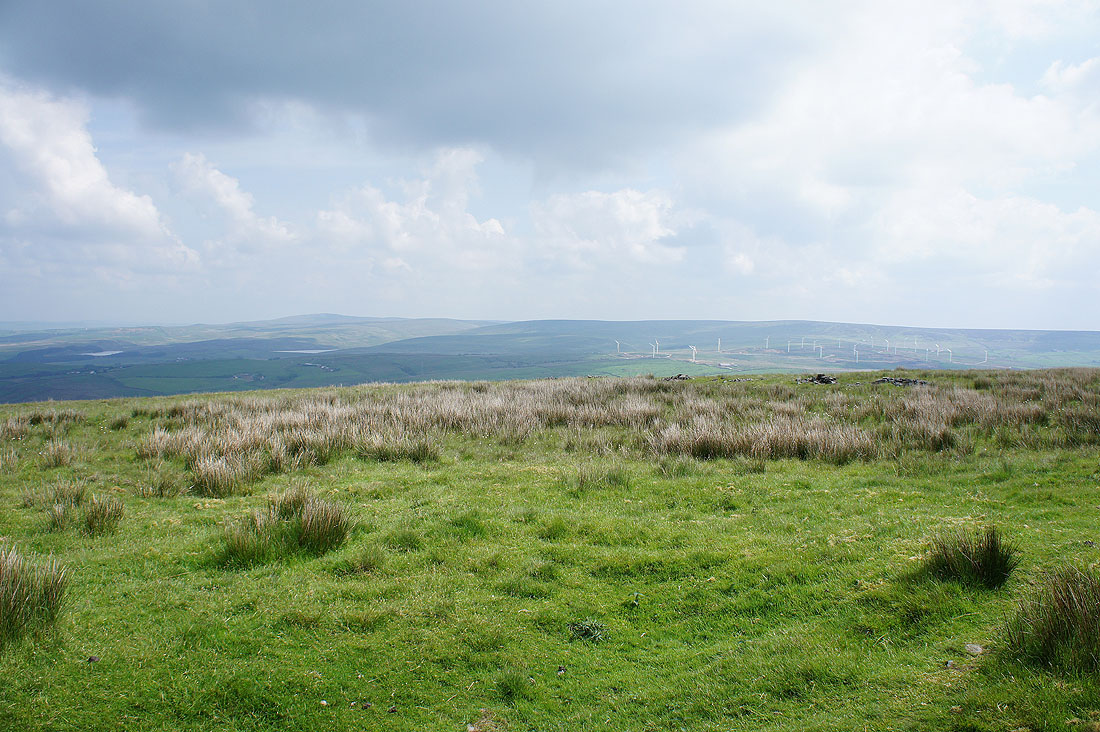
To the northeast are the South Pennine hills of Boulsworth Hill and Hoof Stones Height. The two patches of water on the left are Hurstwood and Cant Clough Reservoirs
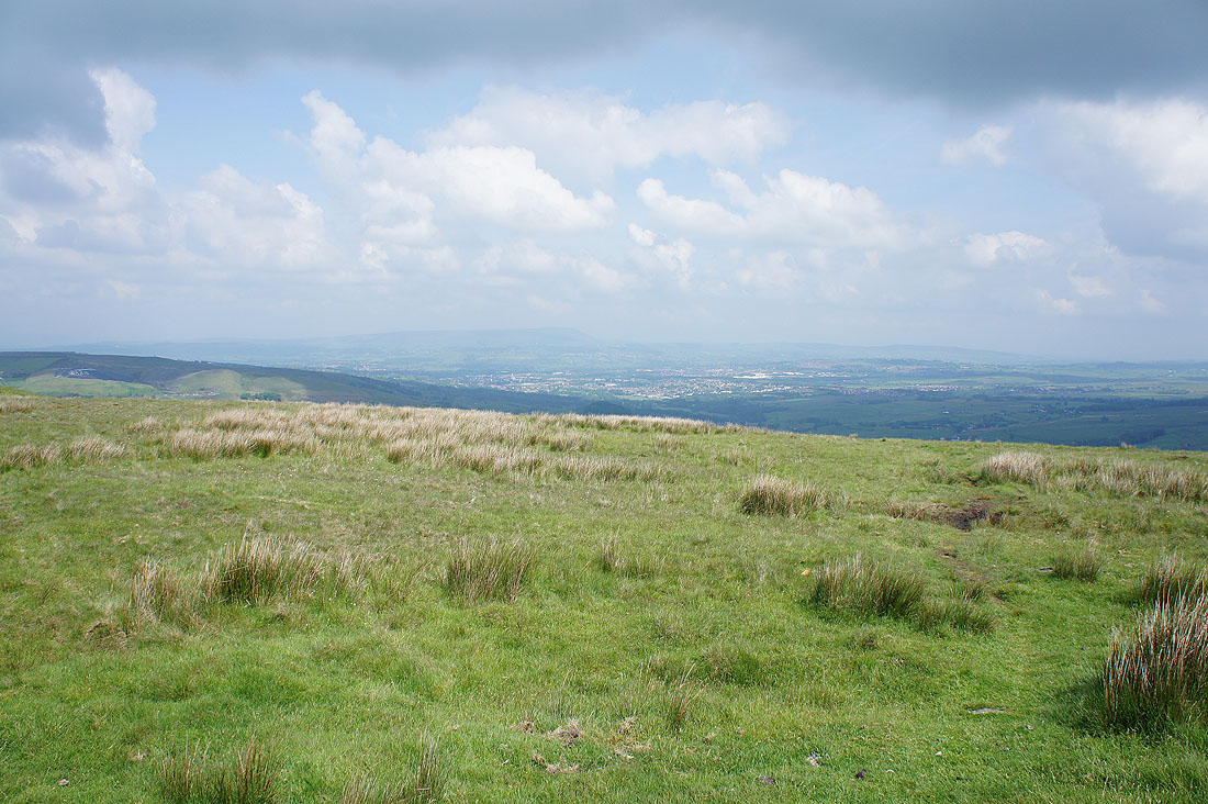
Bacup and the Rossendale Valley to the south
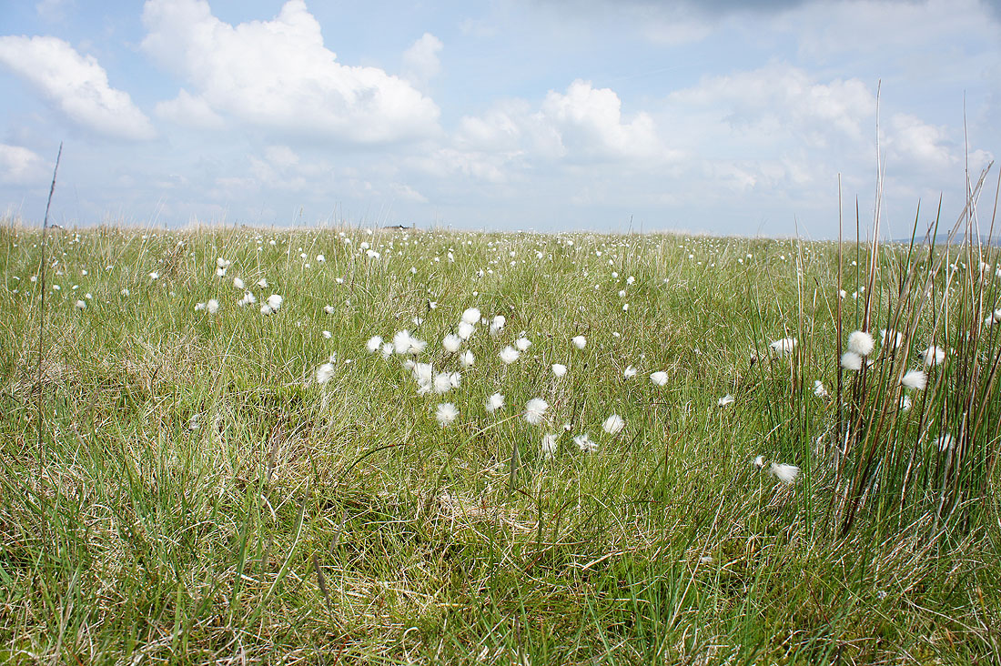
Cotton grass does brighten up the moors at this time of year
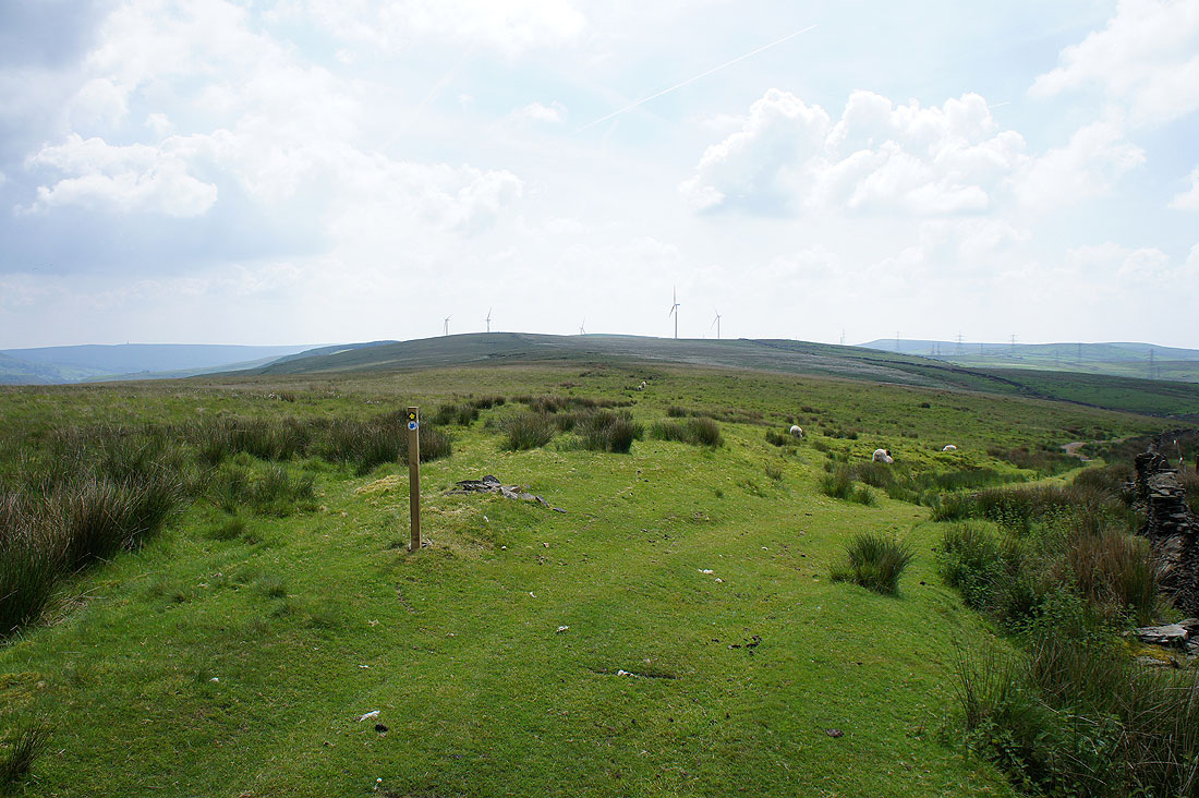
The Limers Gate bridleway heads right but my route is straight ahead across Heald Moor
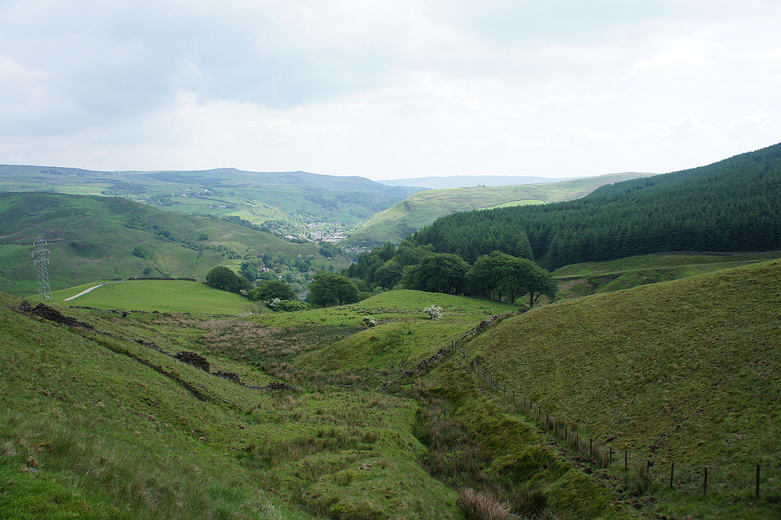
Heading down into Calderdale
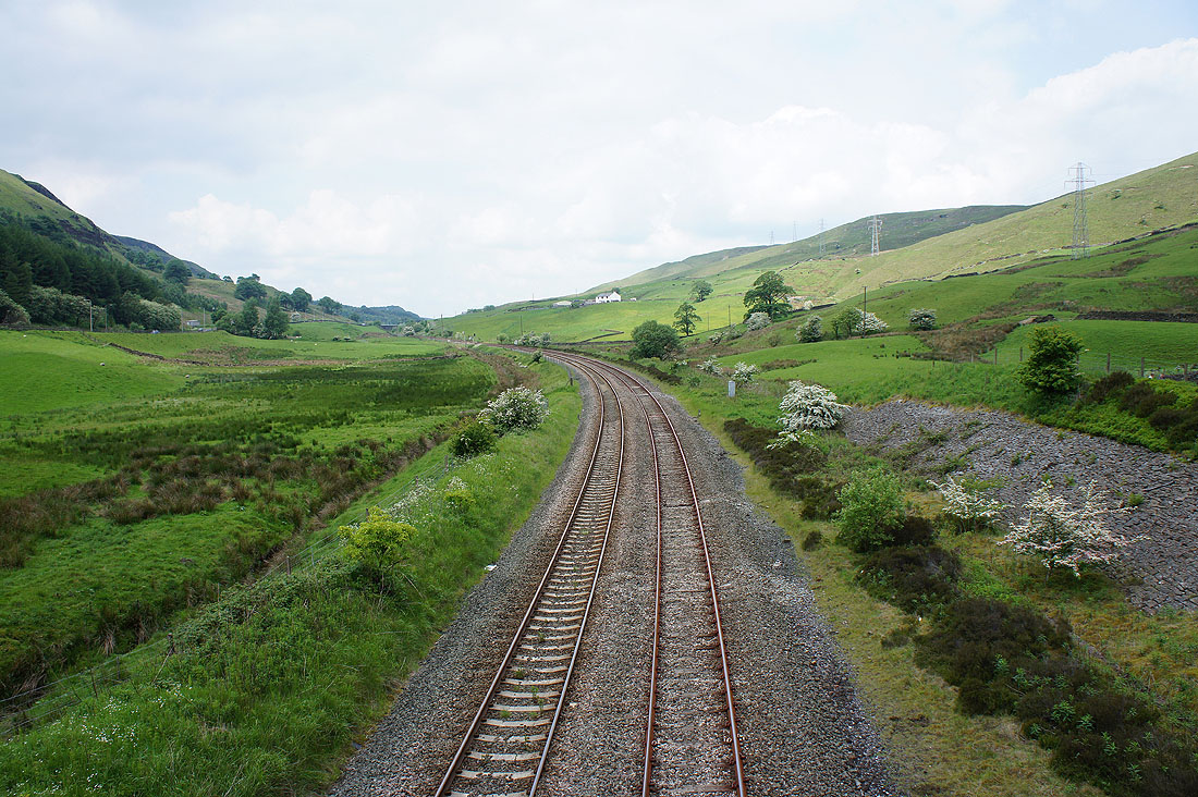
and across the Burnley to Todmorden line to the other side of the valley
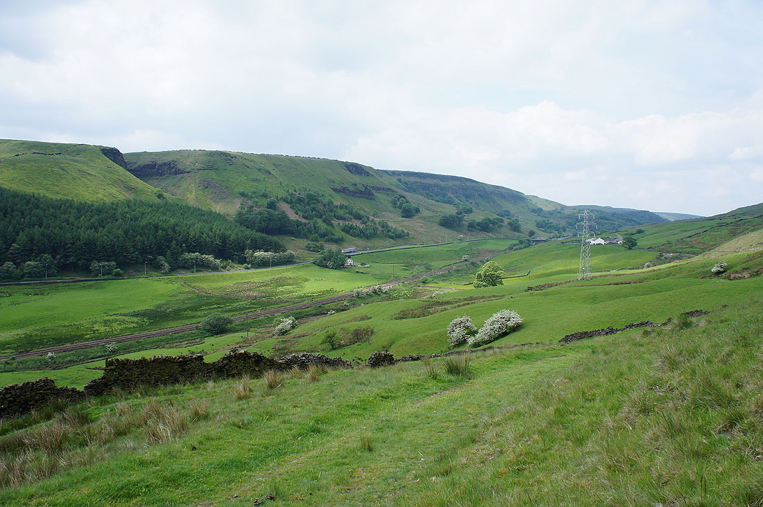
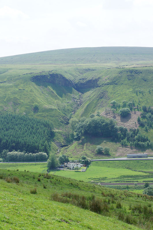
On the path above above Dean Farm and I pause for my lunch. A great view across the valley to Thieveley Scout.
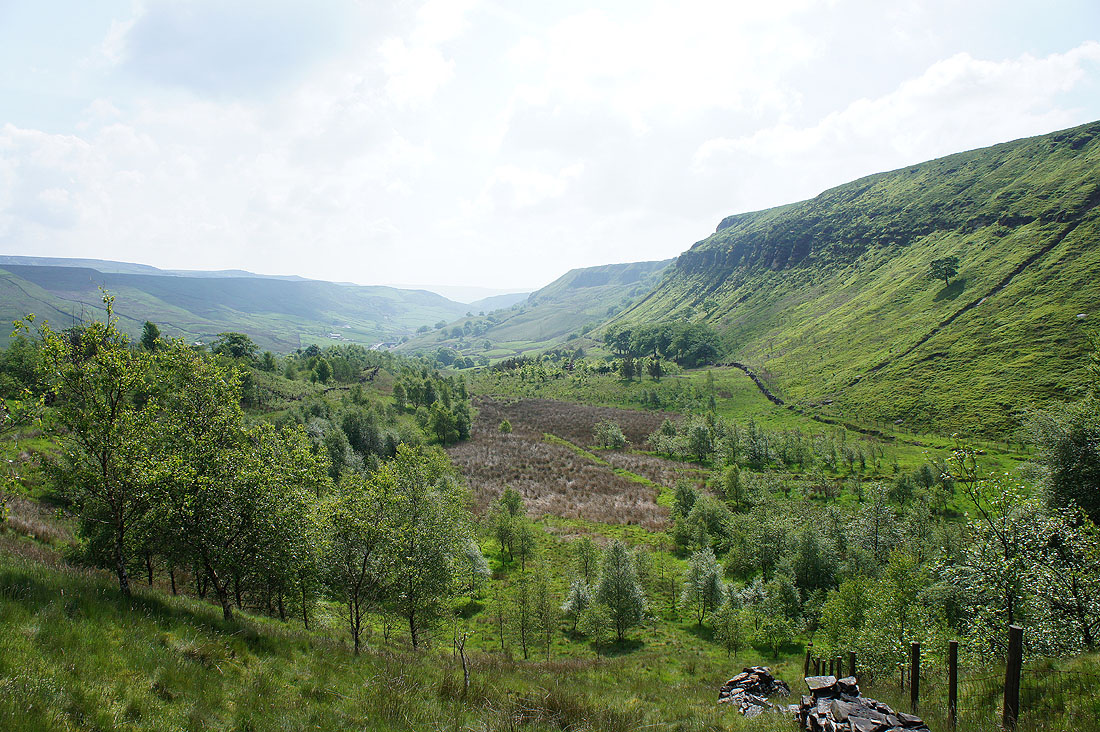
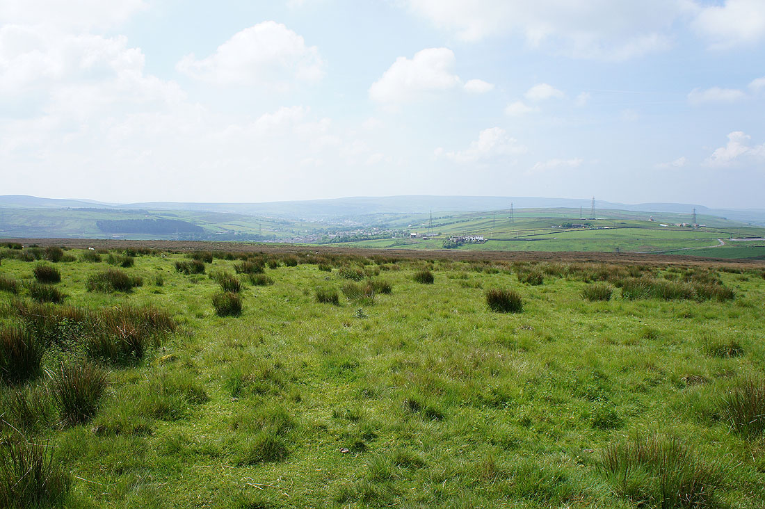
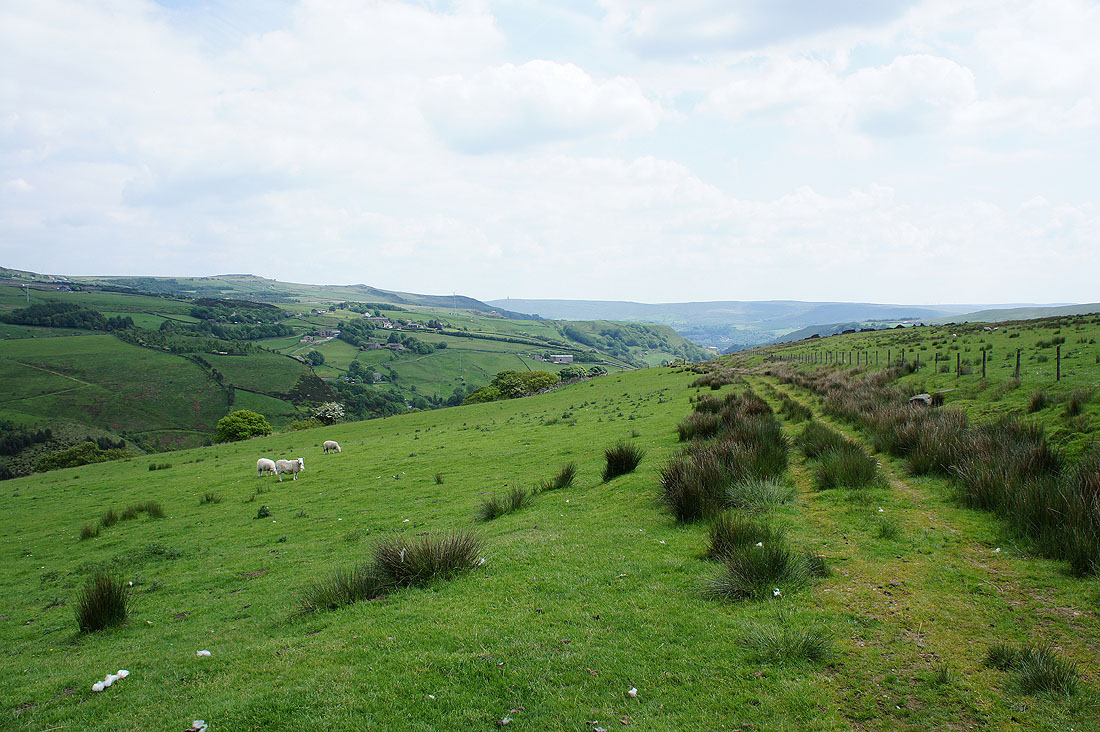
At the top of the walk up from Dean Farm and before I cross Black Scout an opportunity to look down Calderdale. The hillside on the left has the rocky outcrops of Bride Stones Moor and Orchan Rocks, where I was on BH Monday.
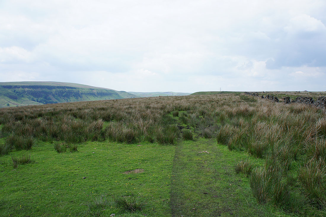
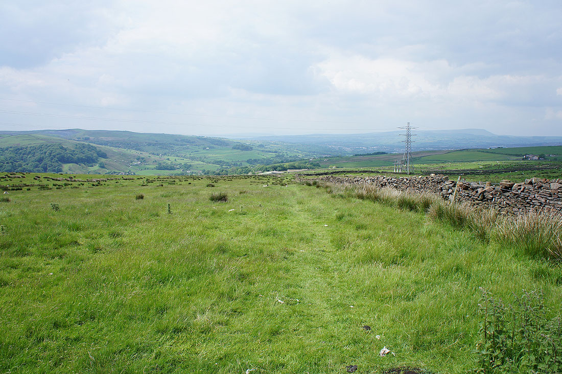
Crossing Black Scout
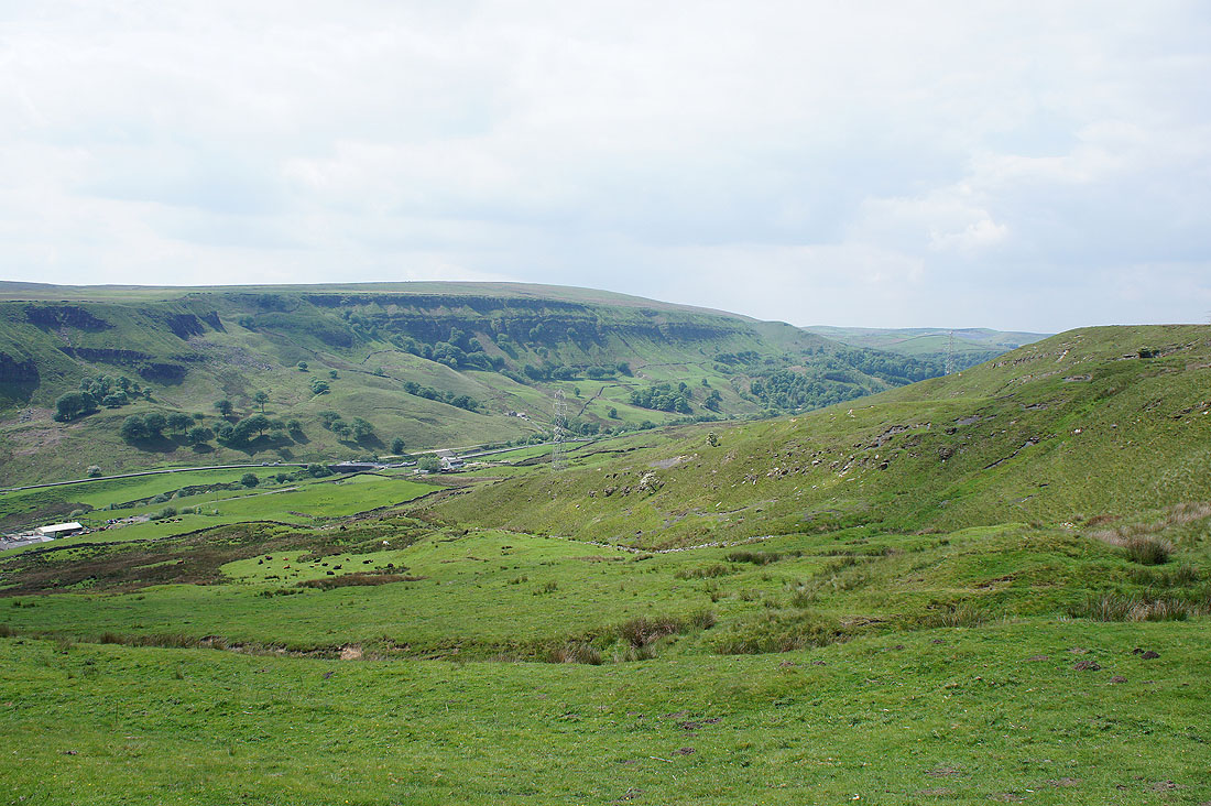
The path passes the top of the western flank of the hill allowing a view across Cliviger to Thieveley Scout
Zooming in on Ratten Clough
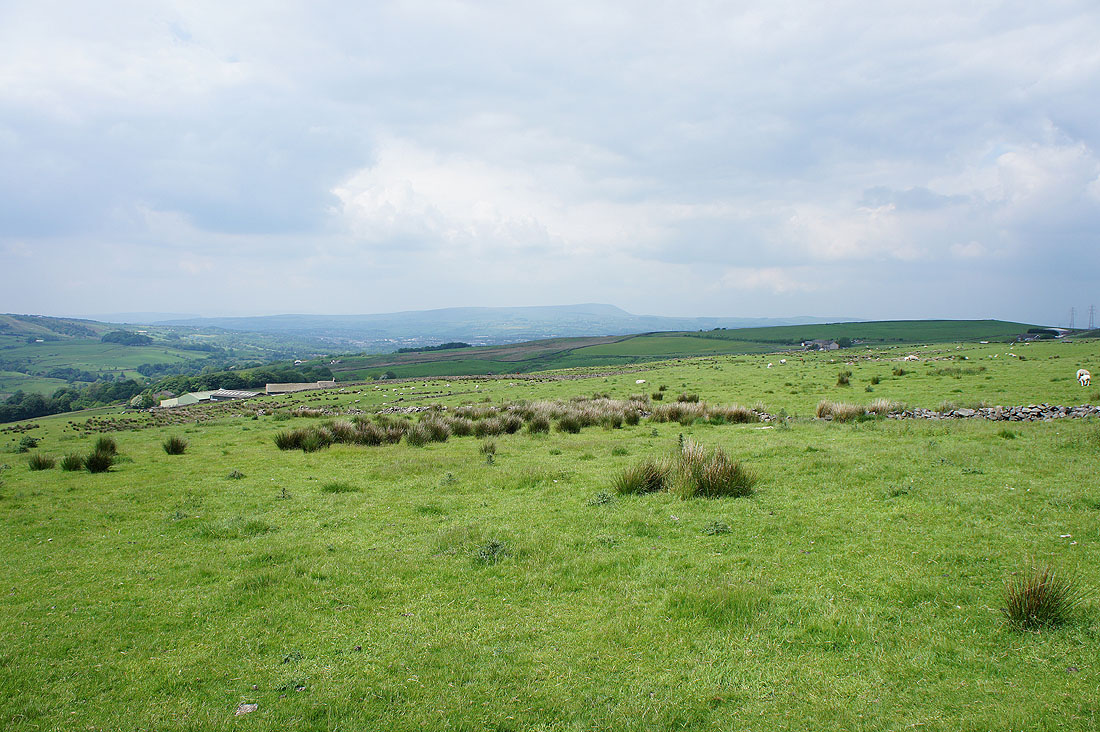
The path heads down towards the farm buildings ahead
with Pendle Hill in view to the north
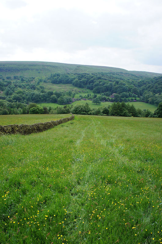
A quick descent down a field and through the woods below to the A646
