1st June 2019 - Around Barden Moor
Walk Details
Distance walked: 10.9 miles
Total ascent: 1782 ft
OS map used: OL2 - Yorkshire Dales, Southern & Western areas
Time taken: 7 hrs
Route description: Embsay Reservoir-Crag Nook-Crookrise Crag Top-Hellifield Crag-Waterfall Gill-High Bark-Rylstone Cross-Cracoe Fell-Burnsall Fell-Upper Barden Reservoir-Embsay Moor-Embsay Crag-Witshaw Bank-Embsay Reservoir
Proof that I don't always have blue skies and sunshine when I'm out walking and that sometimes the weather is worse than forecast. I already knew that it wasn't going to be great today (though the best day of the weekend), but the forecast this morning implied that any rain would tend to move away during the afternoon and things would improve. With this in mind I decided to have a walk around Barden Moor, which is the closest part of the Yorkshire Dales to where I live and just twenty minutes drive away. I don't like to go too far when I'm not certain of good weather. Grey skies and weak sunshine greeted me as I set off from Embsay Reservoir and it did brighten a little on the way up to Crookrise Crag Top, but things deteriorated from then on and it had started to rain by the time I arrived at Rylstone Cross. The next hour or so had the worst conditions with steady rain falling and the cloud lowering onto the top of the moor. At least the wind was light. It would have been much more unpleasant otherwise. After having lunch in the shelter of the war memorial on Cracoe Fell there was a slow improvement as I made my way round Barden Moor to Embsay Crag, with on and off rain, and brightening skies.
From the car park at Embsay Reservoir I followed the bridleway round its western shore to Crag Nook and the fingerpost for the path to Crookrise Crag. I climbed the path, crossing the wall via the first ladder stile I reached, and made my way up to the trig point on Crookrise Crag Top. After crossing over the ladder stile by the trig point I followed a path north by the wall to Hellifield Crag and to Waterfall Gill. The waterfall below the path is worth the visit. Once across Waterfall Gill I climbed the path to reach the bridleway across Barden Moor from Rylstone to Halton. I crossed this and took the path by the wall up High Bark and to Rylstone Cross, and then continued along the edge of the moor up to the war memorial on Cracoe Fell. After a break for lunch I carried on following the path north by the wall past Peter's Crag, then joining a shooter's track I made my way around Burnsall Fell to a shooter's hut. I then continued to follow tracks across the moor, passing a chimney from a disused mine, and then a little reservoir, to reach Upper Barden Reservoir. After crossing the dam I climbed the track opposite and met the Rylstone to Halton bridleway again. I turned right and then left onto a path south across Embsay Moor, which took me to Embsay Crag. After descending from Embsay Crag I followed the bridleway round Embsay Reservoir back to the car park.
Route map
© Crown copyright. All rights reserved. License number PU 100034184.
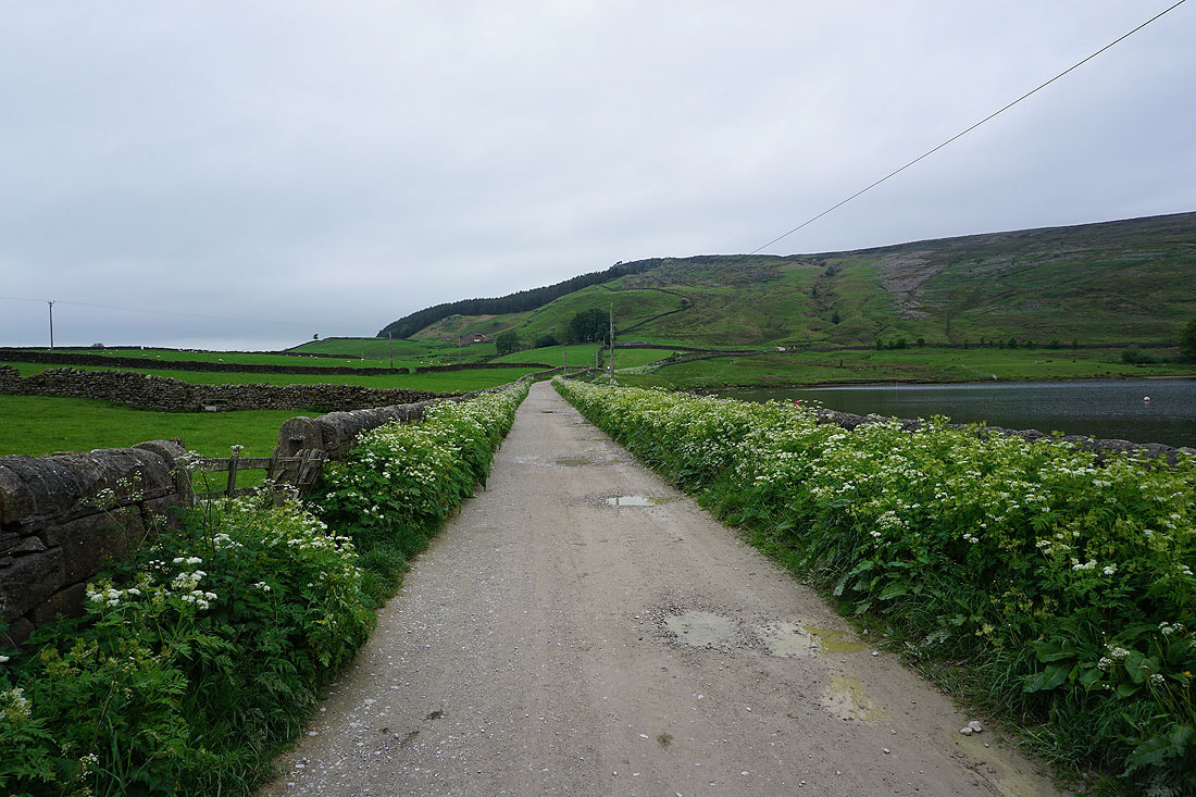
Setting off on the track by Embsay Reservoir
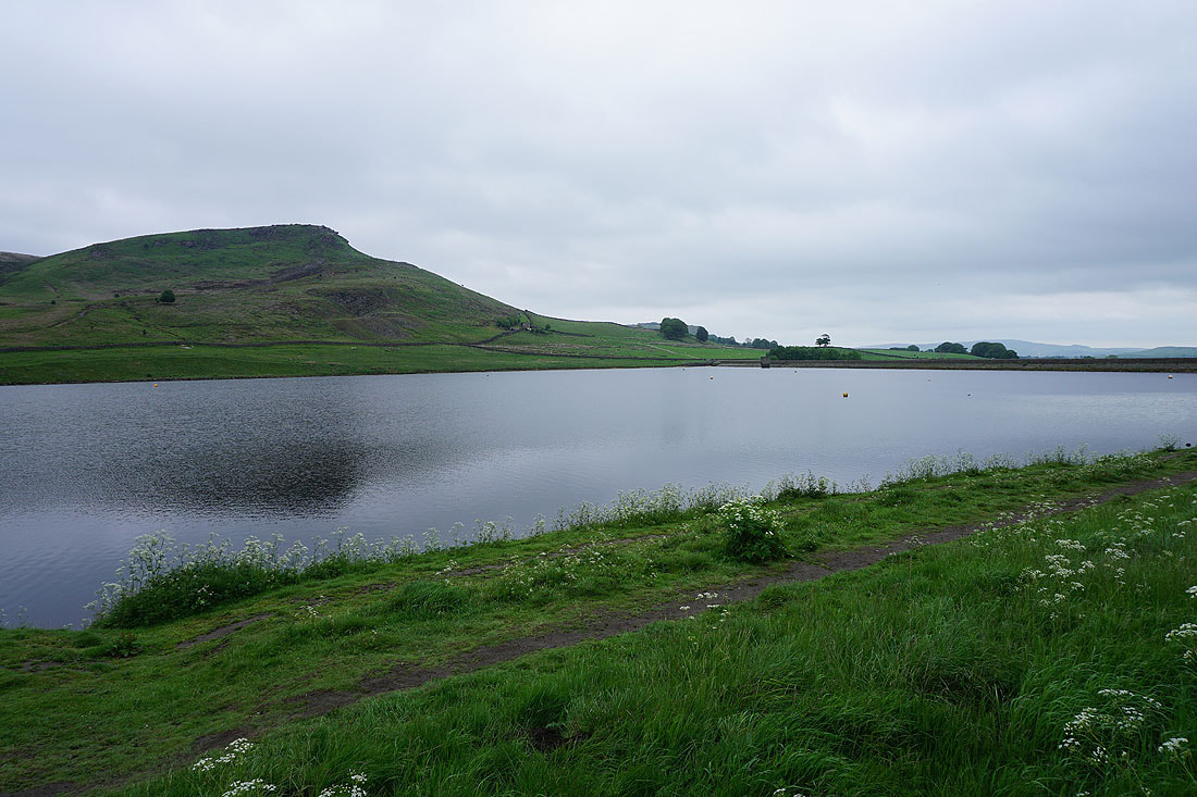
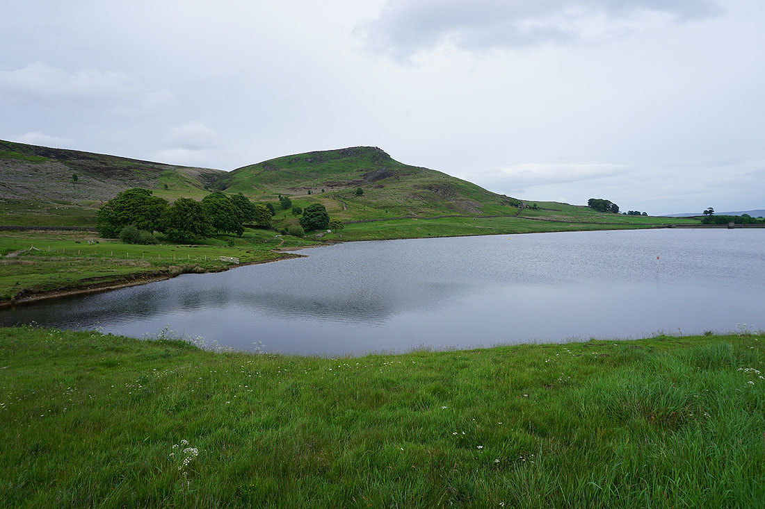
Embsay Crag and Embsay Reservoir
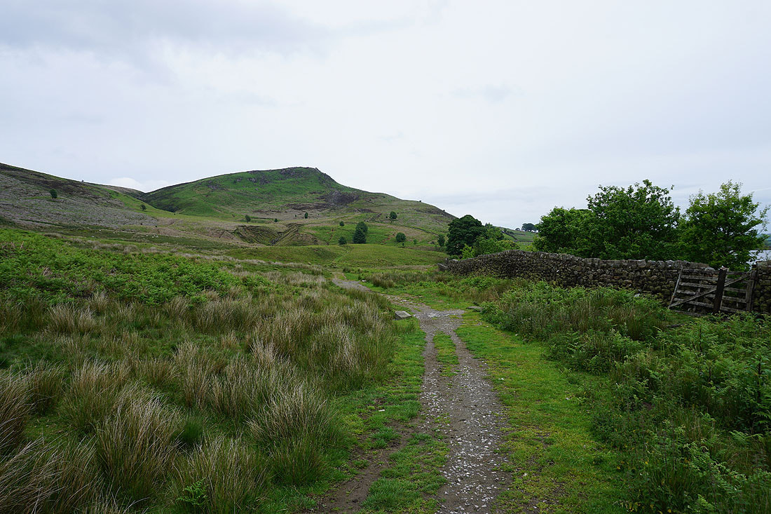
Looking back to Embsay Reservoir as I head up the path to Crookrise Crag
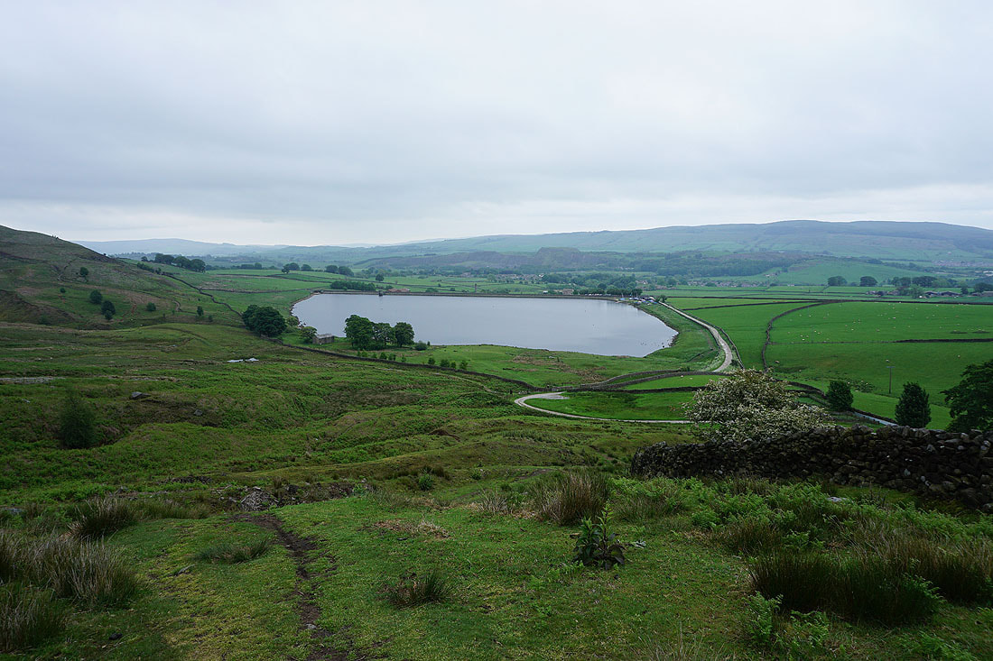
Embsay Crag, Embsay Reservoir and Embsay from Crookrise Crag
Sharp Haw and Rough Haw
Approaching the top of Crookrise Crag
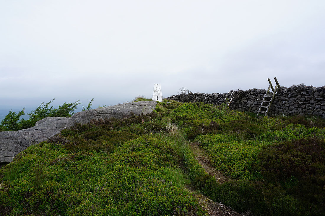
At the trig point on Crookrise Crag Top. I'll use that stile to return to the other side of the wall.
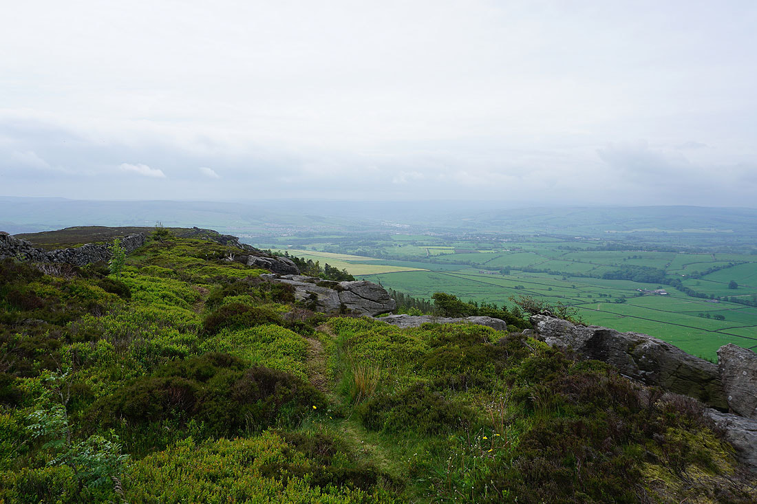
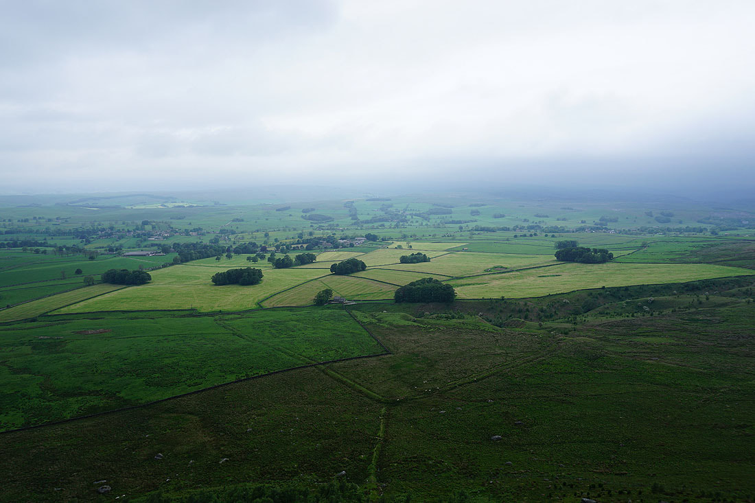
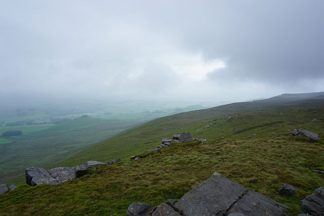
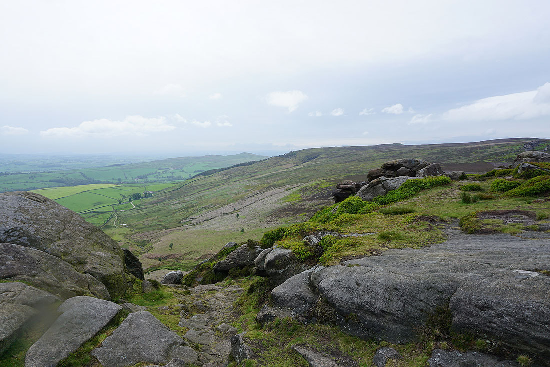
Looking south towards Skipton and Airedale
The countryside to the west is disappearing behind increasing amounts of murkiness
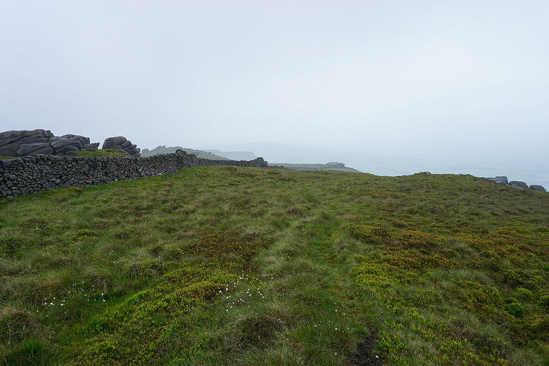
After crossing the wall I'm following a path by it to Waterfall Gill
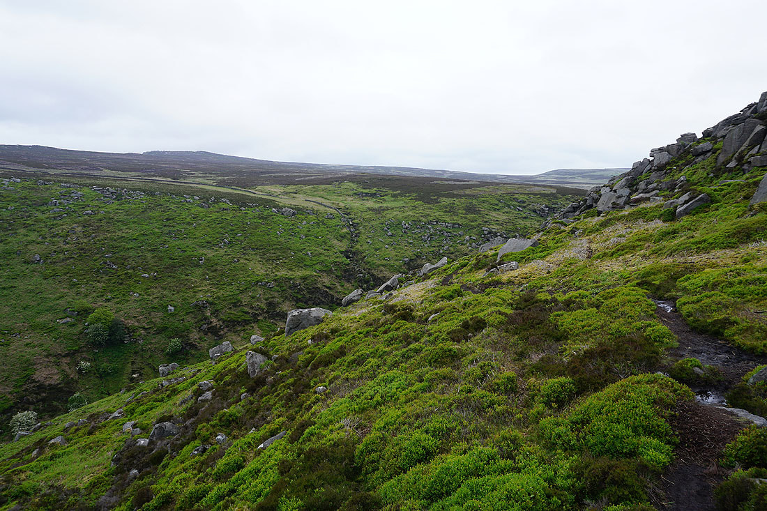
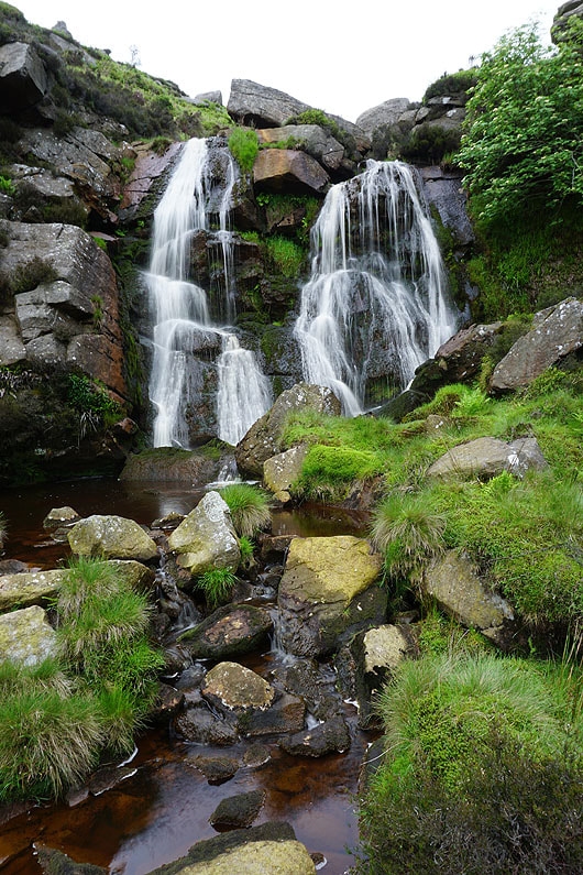
Making my way into the ravine-like Waterfall Gill
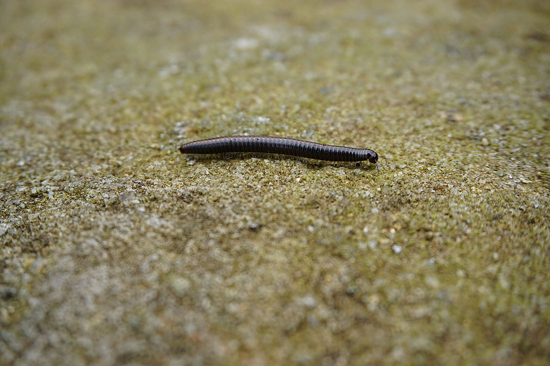
I've made my way down to the waterfall on Waterfall Gill Beck and it isn't easy avoiding the millipedes. The place is swarming with them!
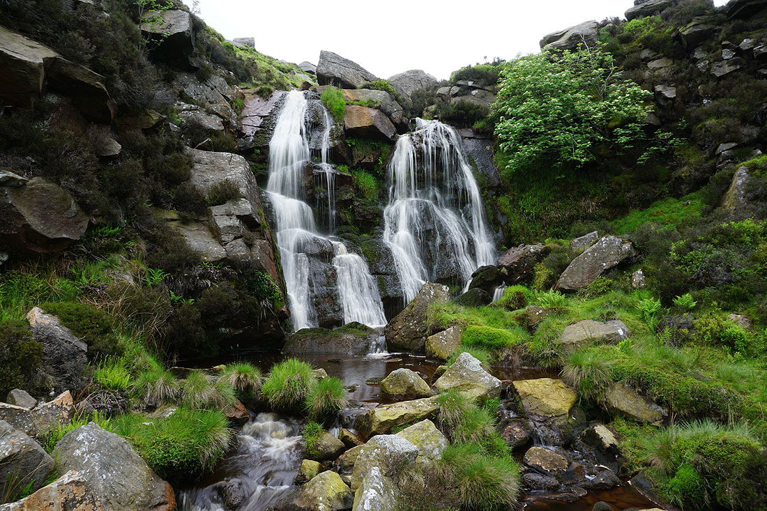
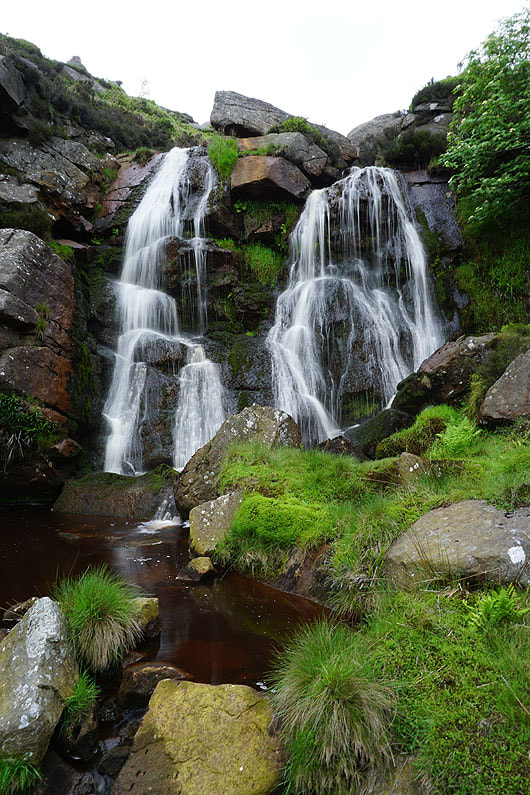
The waterfall on Waterfall Gill Beck. Certainly worth a look...
|
|
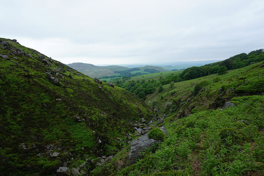
Looking down Waterfall Gill
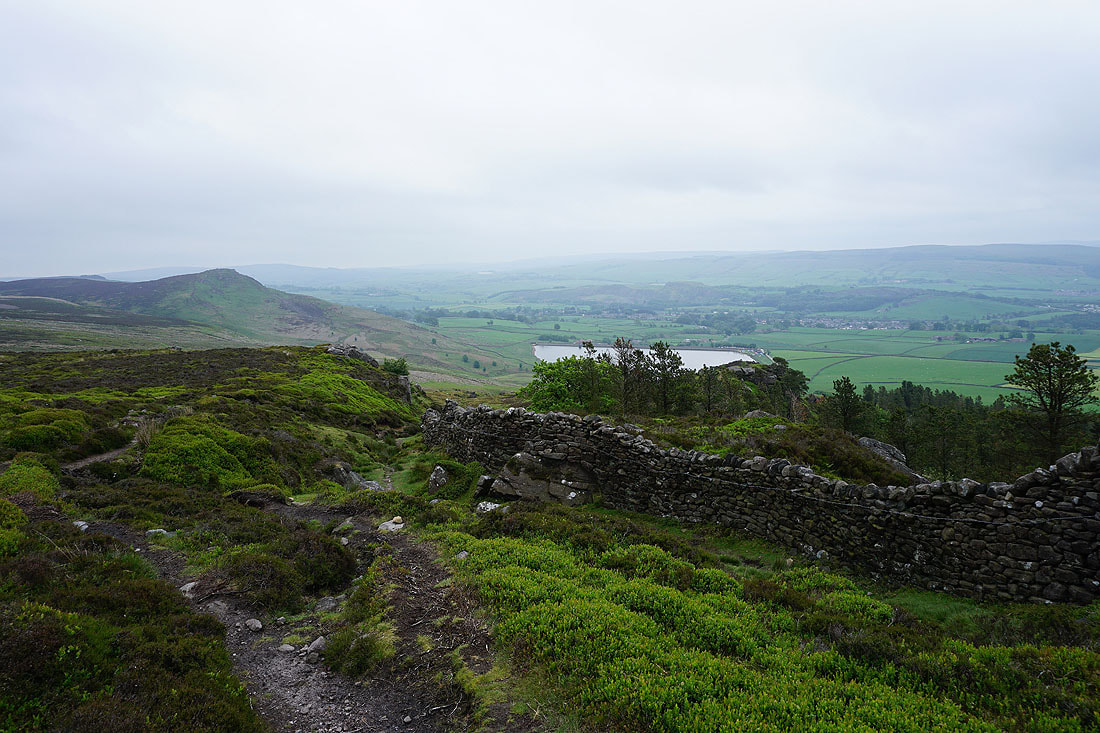
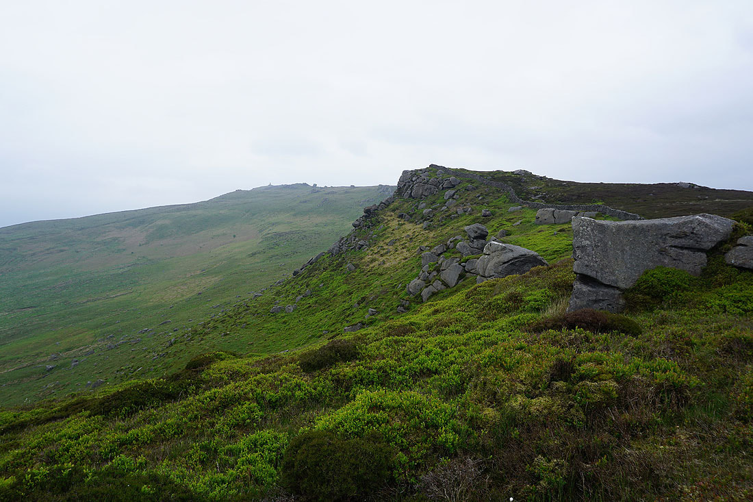
Looking back to Crookrise Crag Top as I head for Rylstone Fell
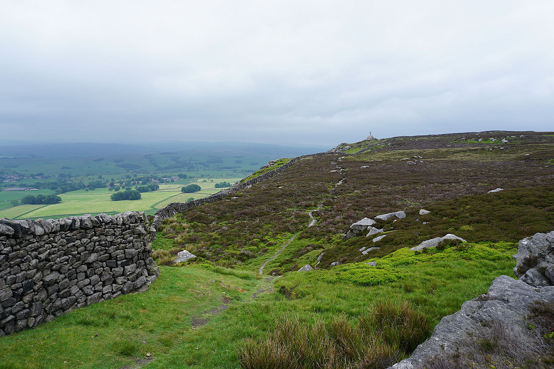
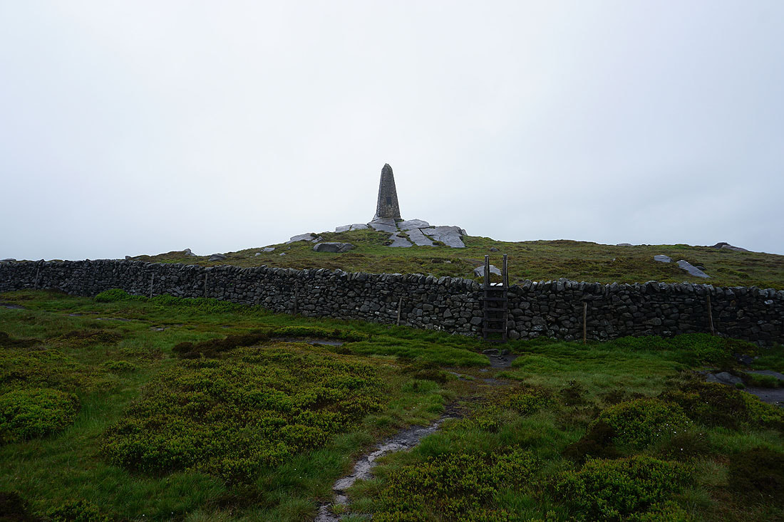
Approaching the memorial cross on Rylstone Fell
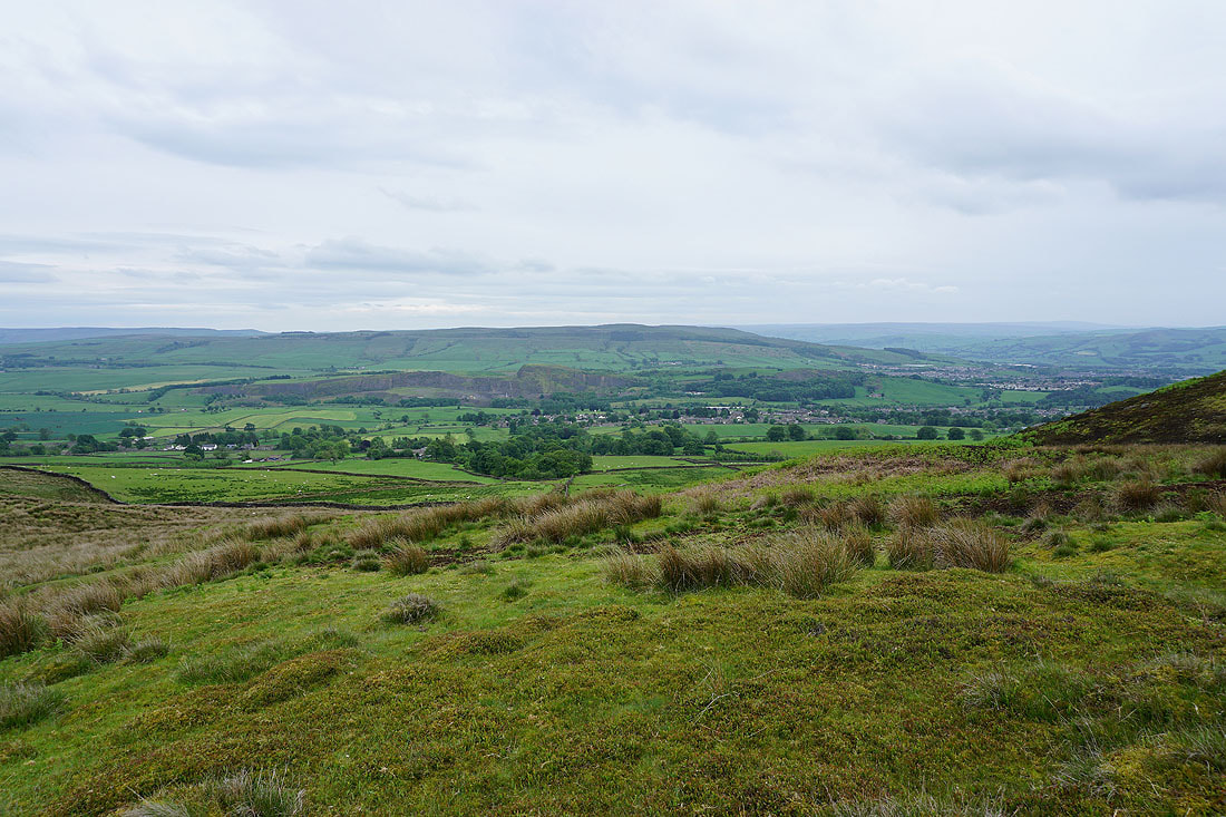
Hetton and Rylstone below from Rylstone Cross. Spots of rain have started to fall.
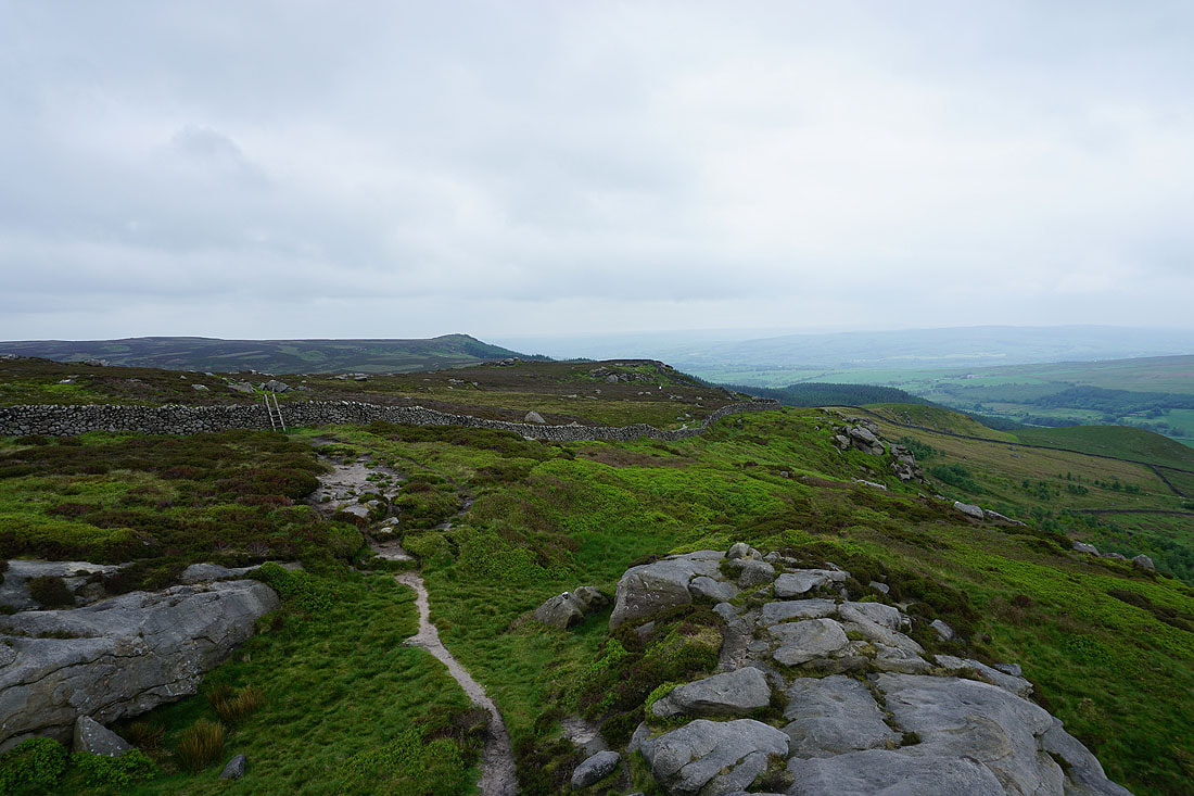
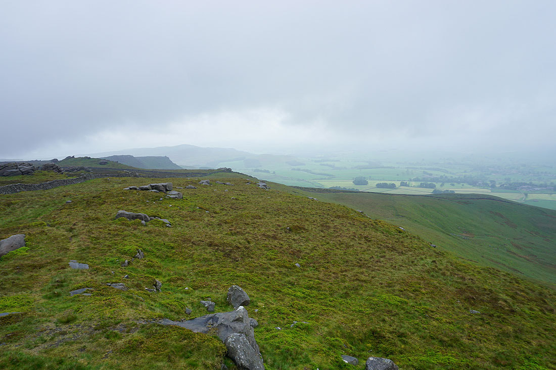
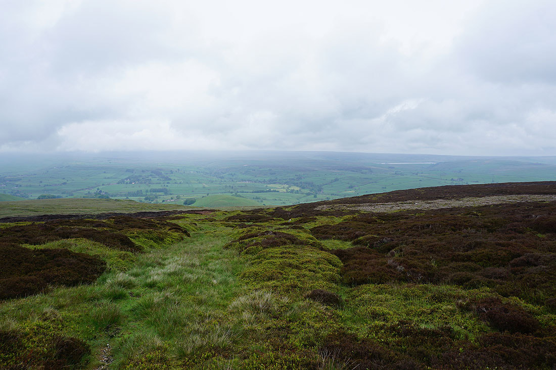
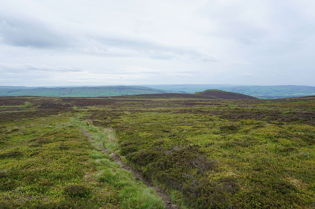
Looking back to Crookrise Crag Top
and forward as I follow the line of crags to Cracoe Fell
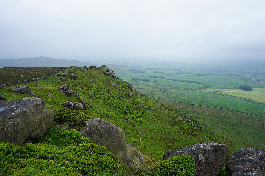
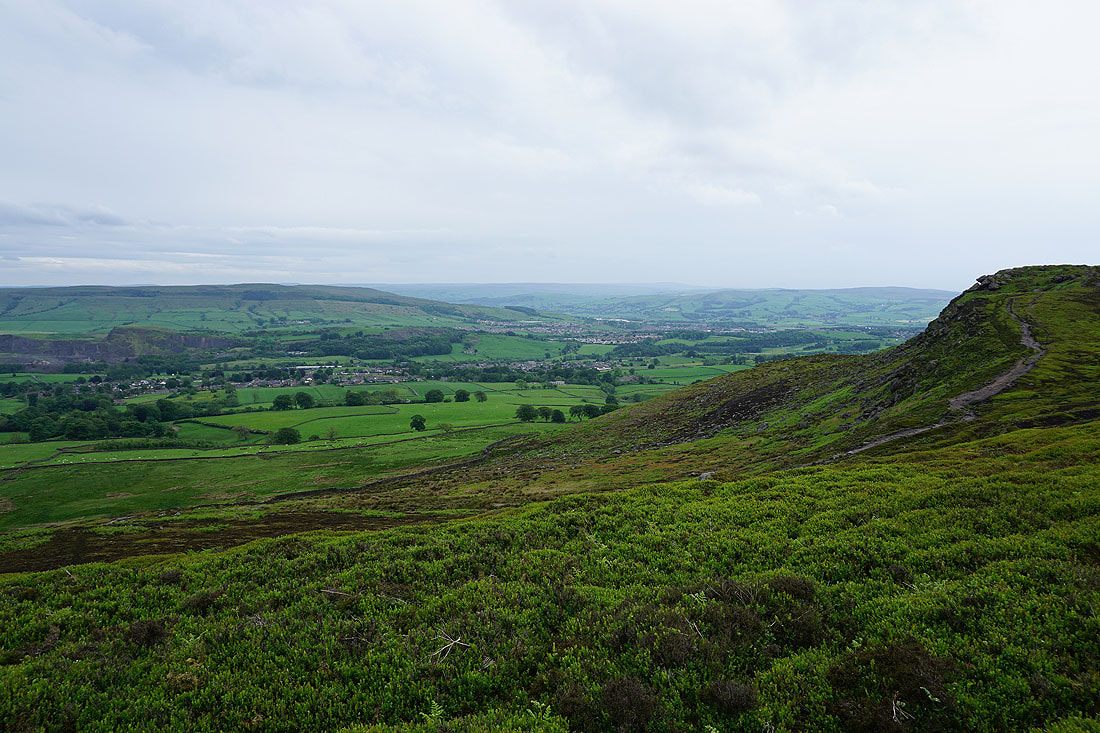
Looking back to Rylstone Cross
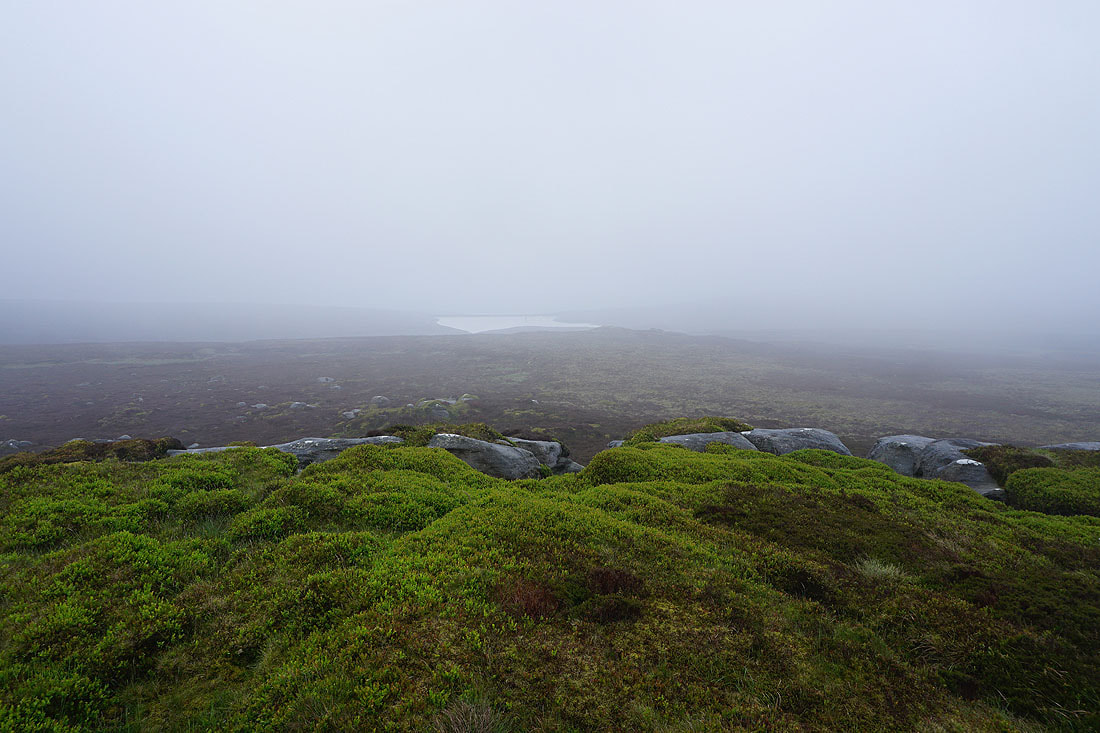
On Cracoe Fell with Rylstone Fell and Flasby Fell just visible through the mist. The weather has deteriorated since I left Rylstone Cross, with a steady rain now falling.
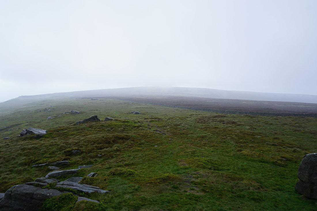
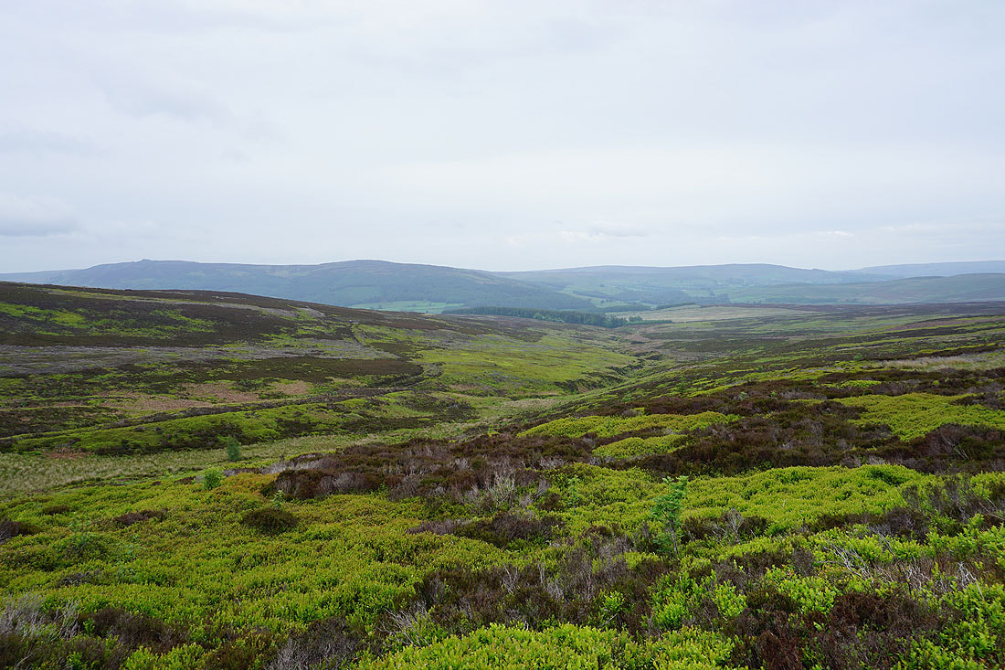
Cloud touching the top of Burnsall Fell
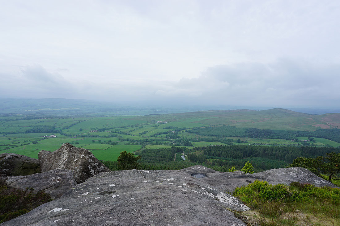
No view of Wharfedale from here today
While I've been sat here having my lunch, the memorial provided some shelter, the visibility does improve looking towards Rylstone Fell and Flasby Fell
Leaving the war memorial on Cracoe Fell
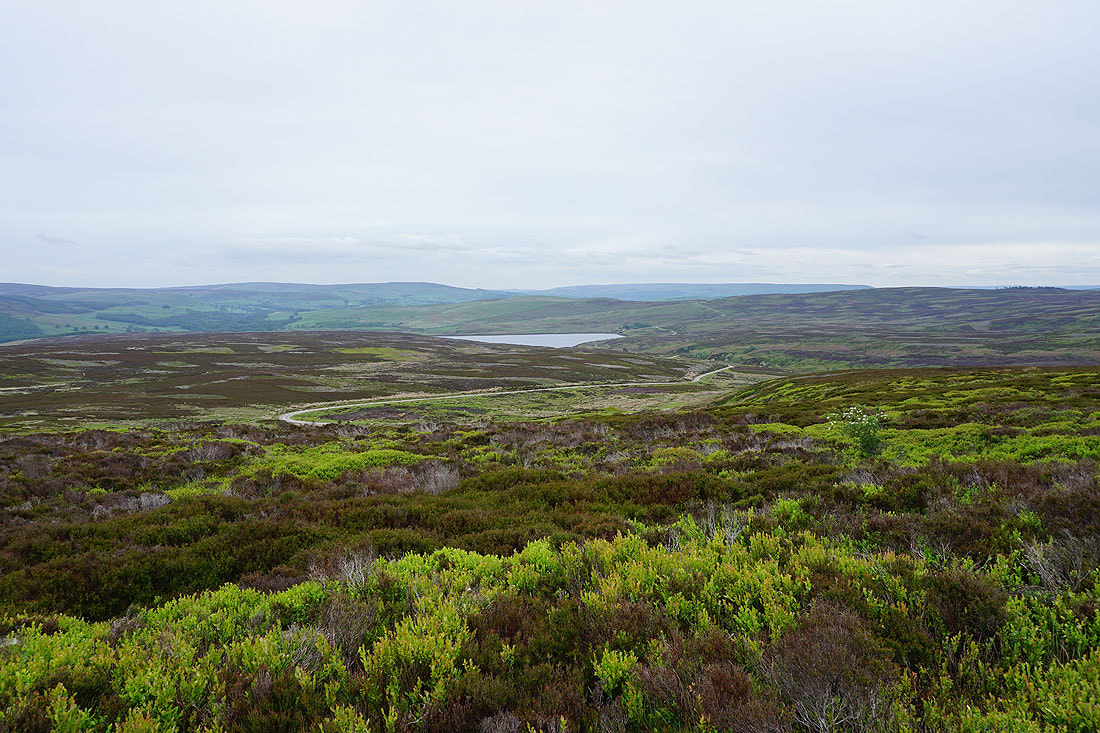
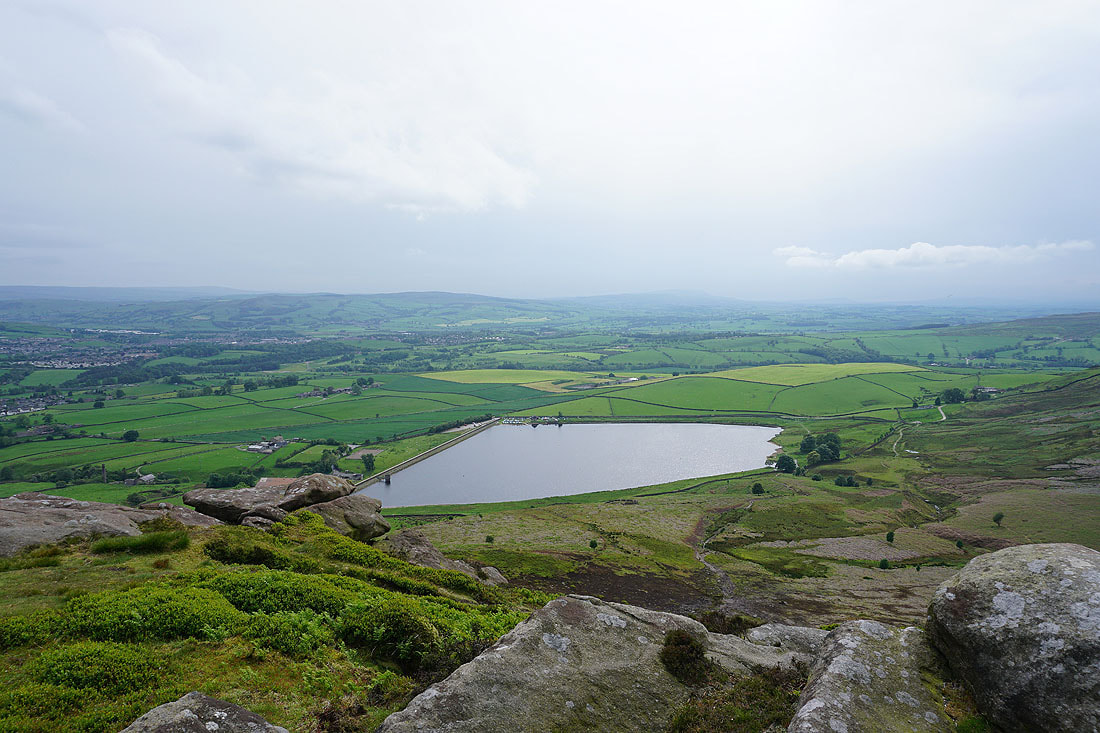
Upper Barden Reservoir
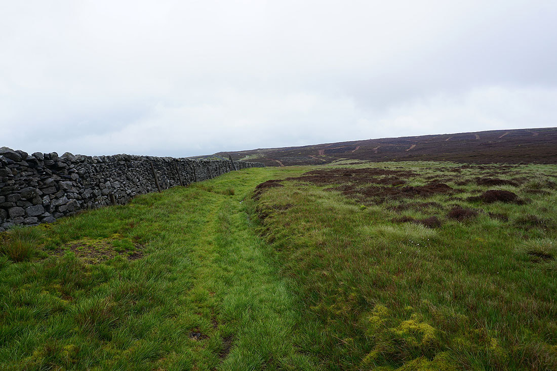
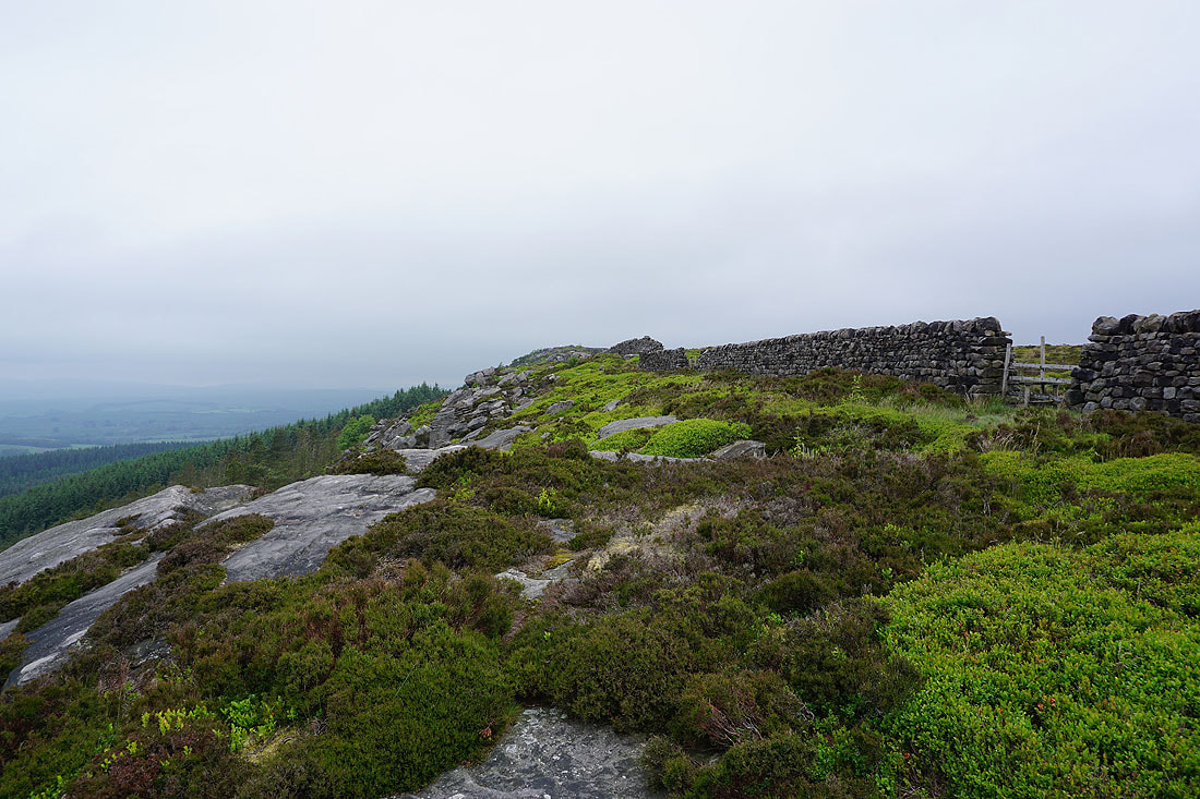
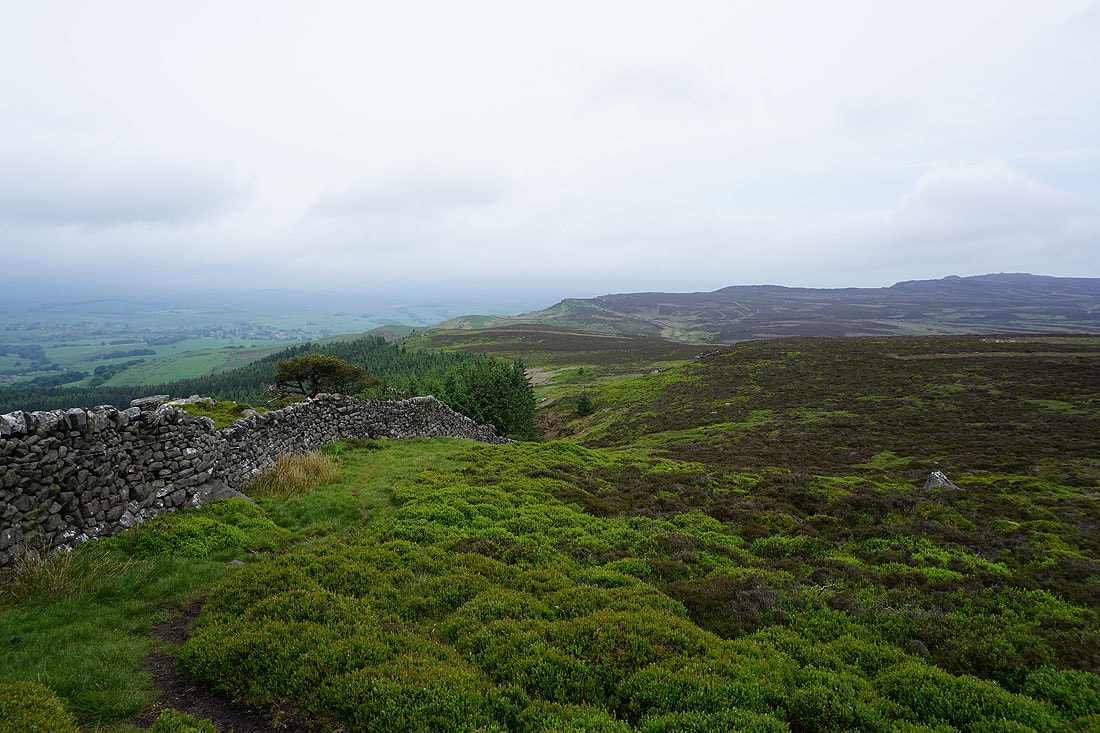
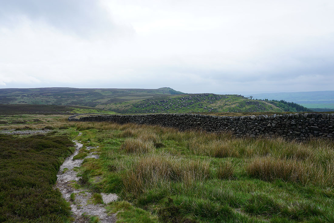
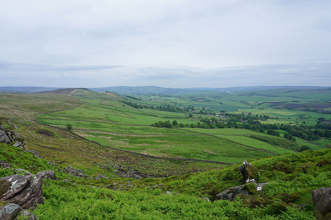
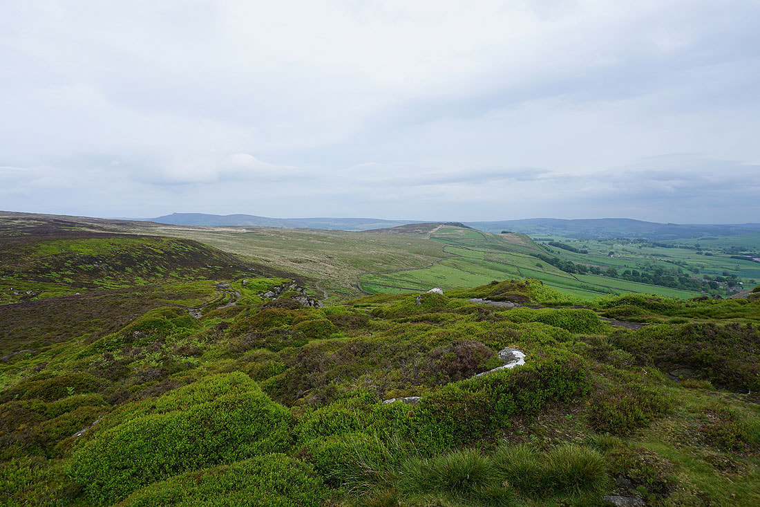
Following the wall towards Peter's Crag and the northern end of Barden Moor
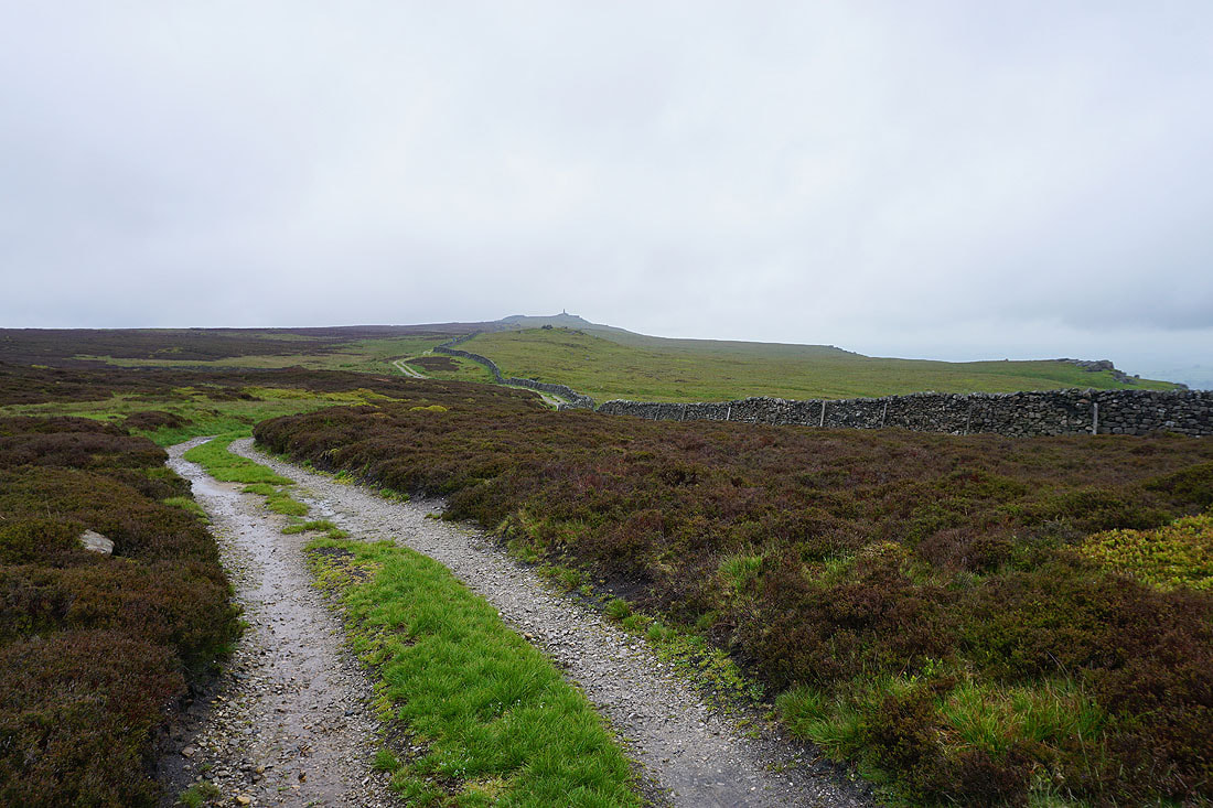
Looking back to the war memorial on Cracoe Fell
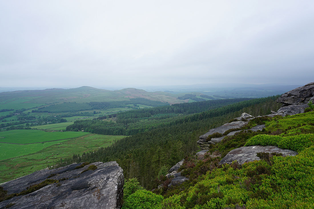
Looking across Wharfedale from Burnsall Fell. The rain has eased off and the cloud lifted enough for me to see Grassington Moor, Appletreewick Moor and Grimwith Reservoir across Wharfedale.
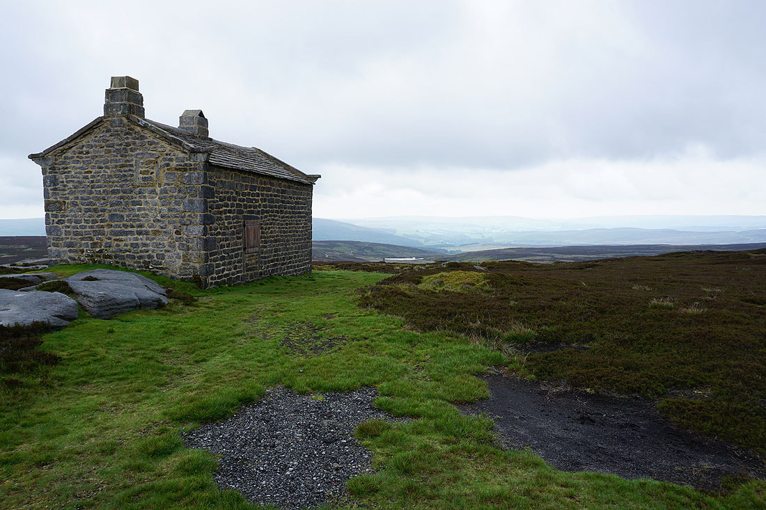
At the shooter's hut on Burnsall Fell
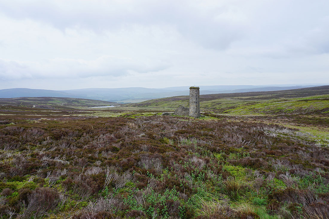
There are a number of paths on this part of Barden Moor and it's important to get yourself on the right one if you want to end up where you're supposed to be going. This chimney, which is part of the disused mine workings on this part of the moor, is a useful landmark and one that I'm intending to pass.
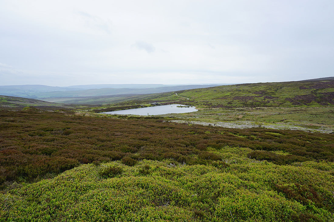
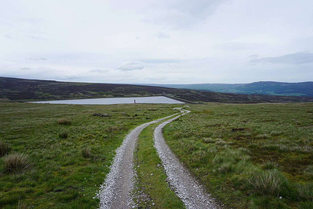
This little reservoir with a track across its dam is also on my route
Simon's Seat, Carncliff Top, Round Hill and Beamsley Beacon as I cross the dam of that little reservoir
Round Hill, Beamsley Beacon, Lower Barden Reservoir and Ilkley Moor
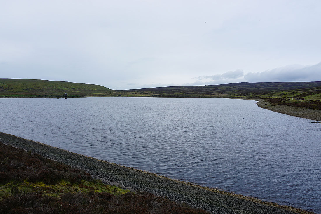
By Upper Barden Reservoir
Looking back to Upper Barden Reservoir from the track up onto Embsay Moor
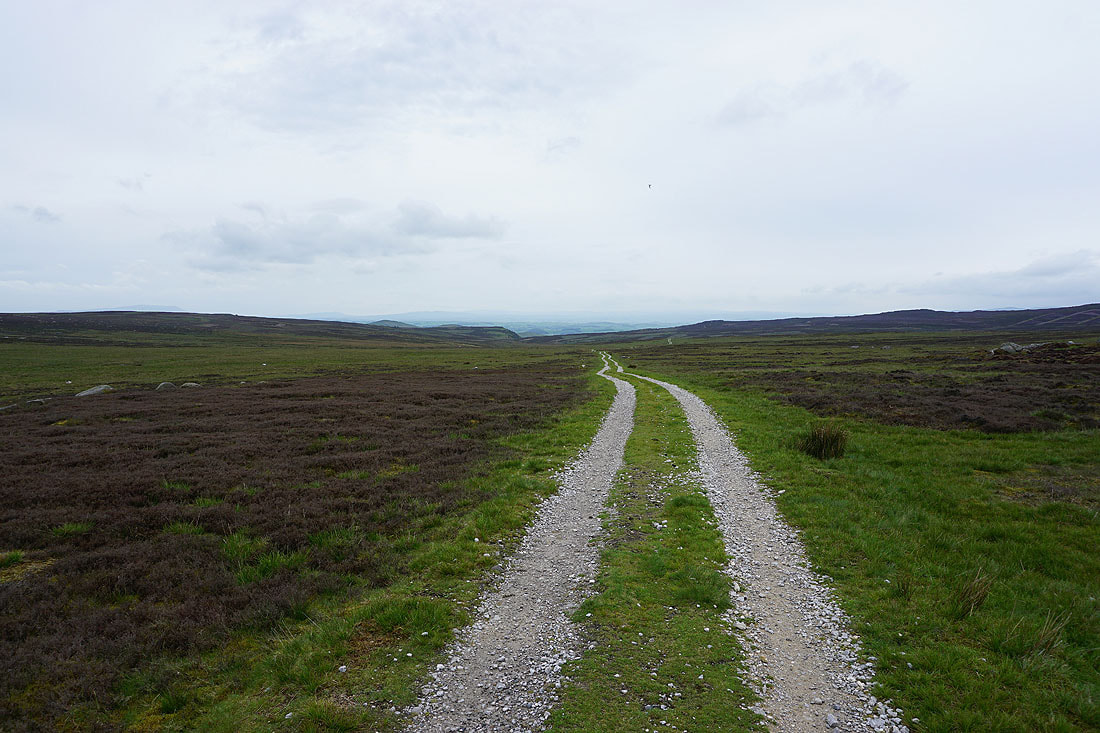
Reaching the bridleway across Embsay Moor and in this direction it's heading for Rylstone. The dip in the edge of the moor marks the position of Waterfall Gill.
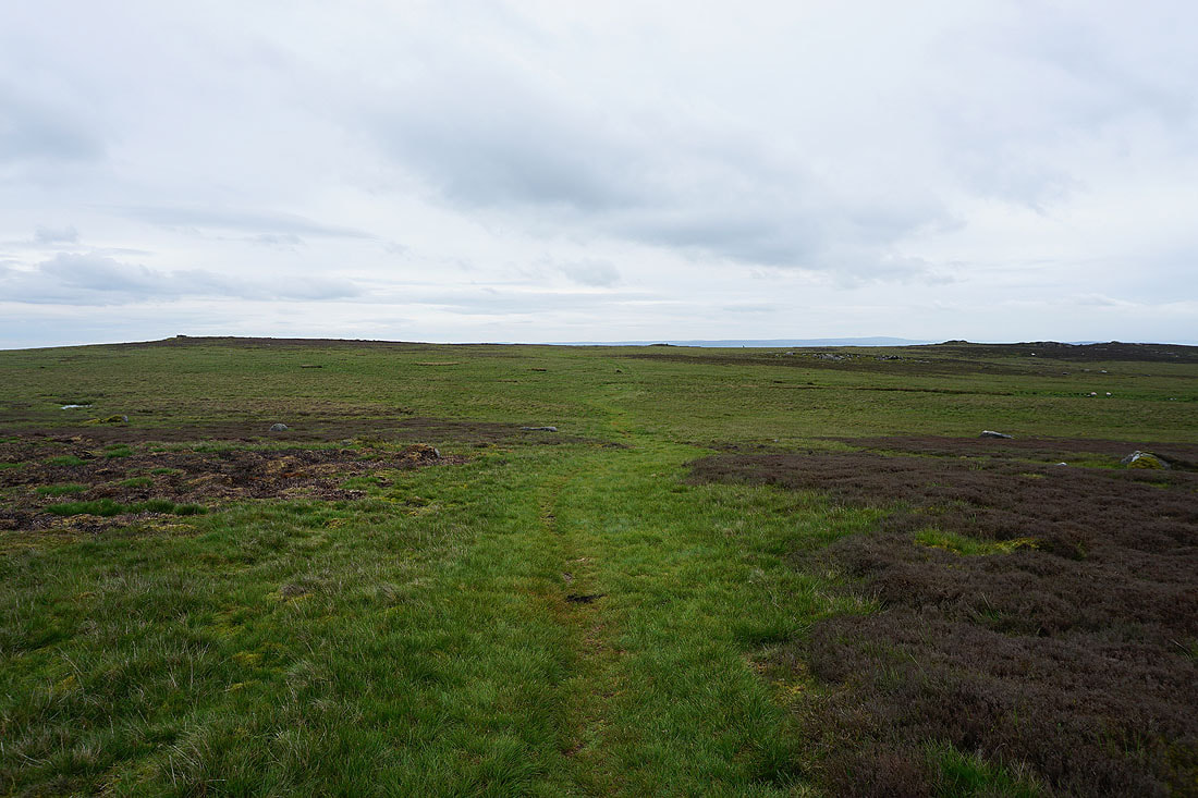
I go straight across though and take a path south across the moor towards Embsay Crag
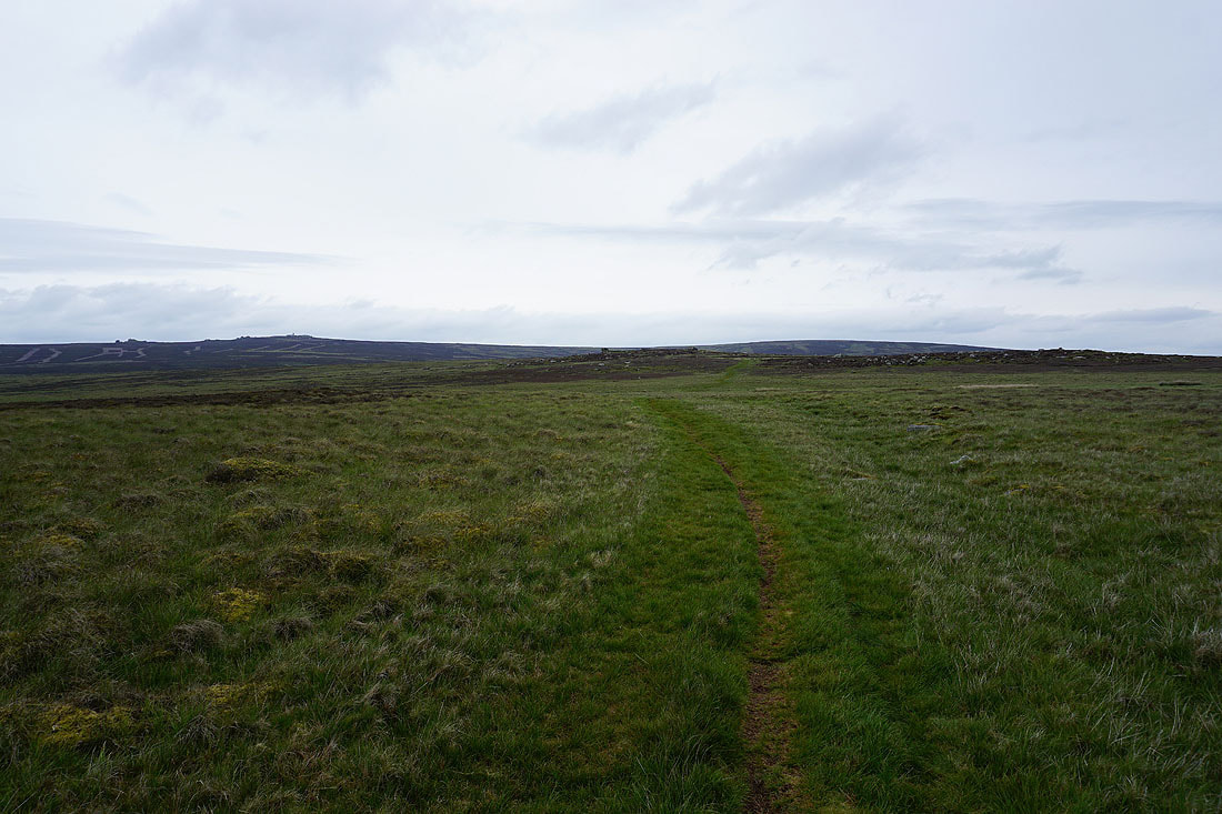
Looking back north across the moor to Cracoe Fell on the left and Burnsall Fell on the right at the northern end of Barden Moor
Ilkley Moor, Chelker Reservoir and Skipton Moor as I approach the southern edge of Embsay Moor
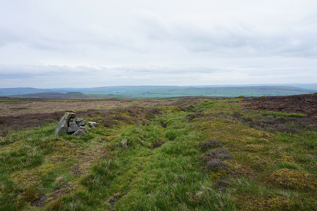
The top of Embsay Crag is on the right. Not far to go.
Skipton Moor, and Embsay in the valley below
Skipton Moor, Embsay, Skipton and Airedale as I near the top of Embsay Crag
Looking east along the Aire gap to Halton Height, Round Hill, Beamsley Beacon and Chelker Reservoir
Sharp Haw and the southern end of Crookrise Crag from Embsay Crag
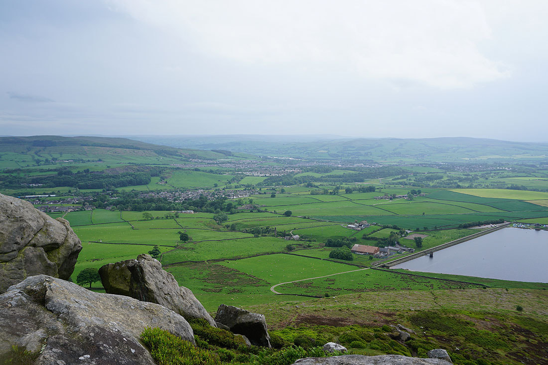
Skipton Moor, Embsay, Skipton, Airedale and Pinhaw Beacon
Looking east to Halton Height with Simon's Seat, Barden Fell and Beamsley Beacon in the distance
Embsay Reservoir below, Skipton and Pinhaw Beacon, and I can make out Pendle Hill in the distance. It's much brighter than it was but it stubbornly refuses to give up raining for good.
Looking back to Embsay Crag as I head down to Embsay Reservoir
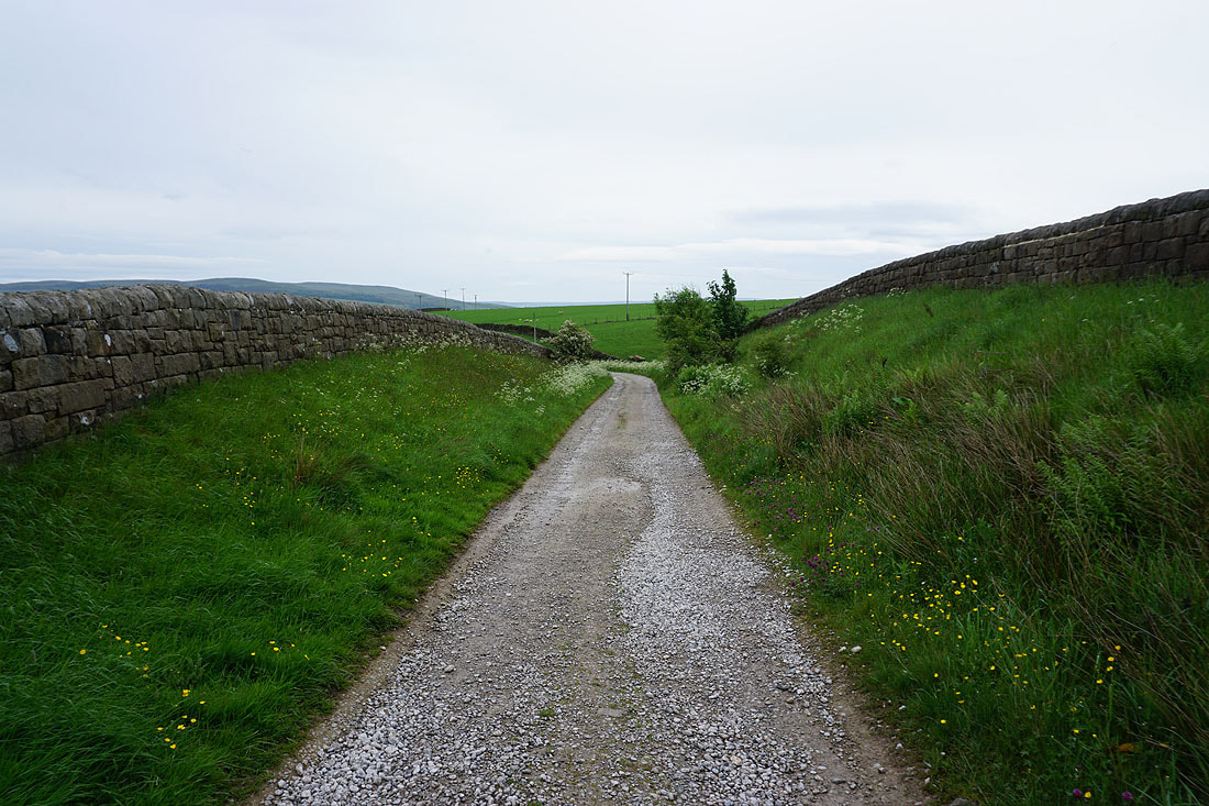
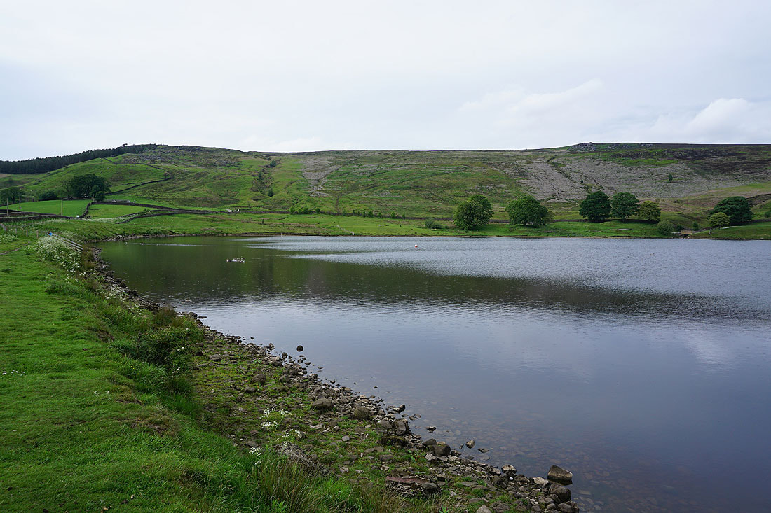
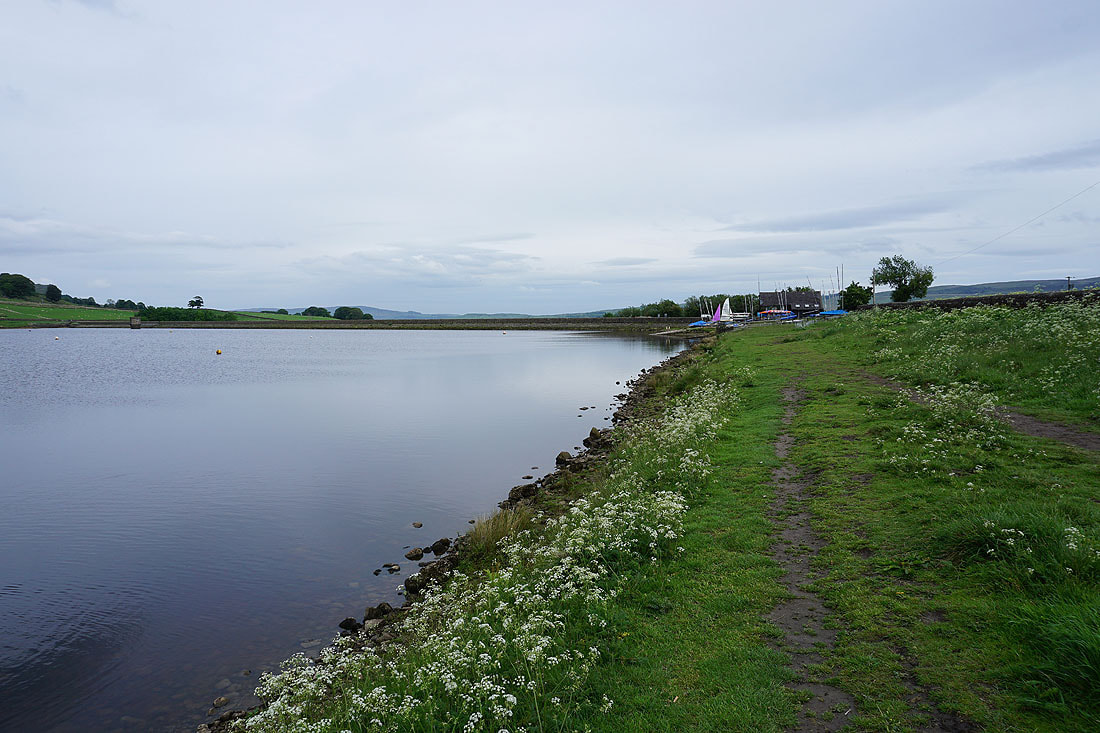
On the bridleway round Embsay Reservoir..
Embsay Crag above
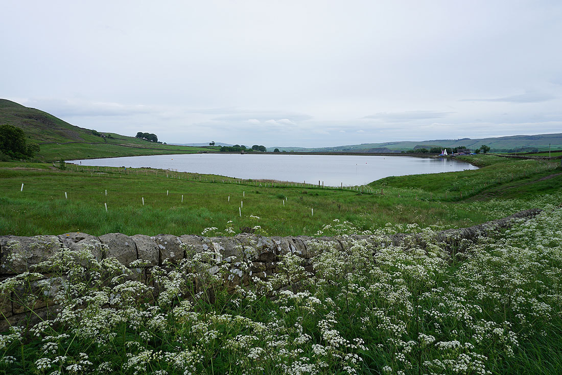
Great views across the reservoir to finish with..