1st March 2009 - High Street
Walk Details
Distance walked: 5.5 miles
Total ascent: 2072 ft
OS map used: OL5 - The English Lakes, North-eastern area
Time taken: 4.5 hrs
Route description: Mardale Head-The Rigg-Rough Crag-High Street-Mardale Ill Bell-Nan Bield Pass-Small Water-Mardale Head
From the car park at the head of Haweswater I set off along the path by the shore of Haweswater to the Rigg from where I walked along the top of Rough Crag to ascend High Street. After visiting High Street I made my way across to Mardale Ill Bell and then down to the Nan Bield Pass. I then made my way back to the car park via Small Water.
Route map
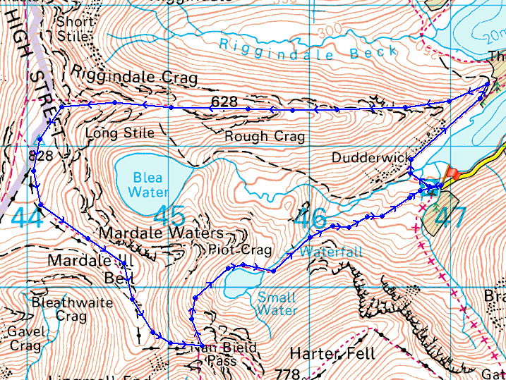
© Crown copyright. All rights reserved. License number PU 100034184.
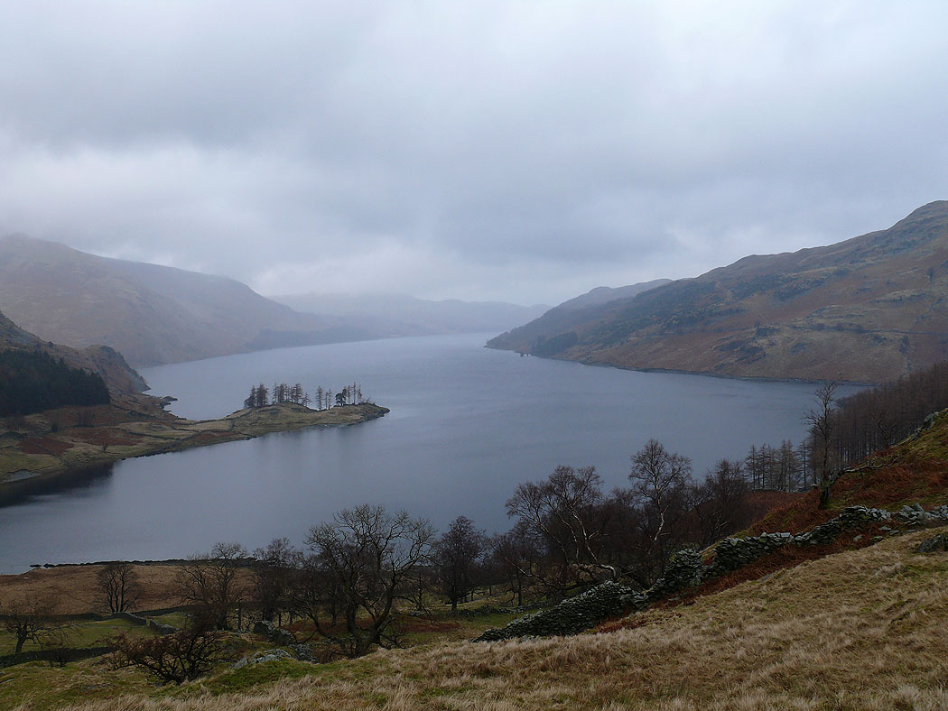
Haweswater from the start of the climb up Rough Crag
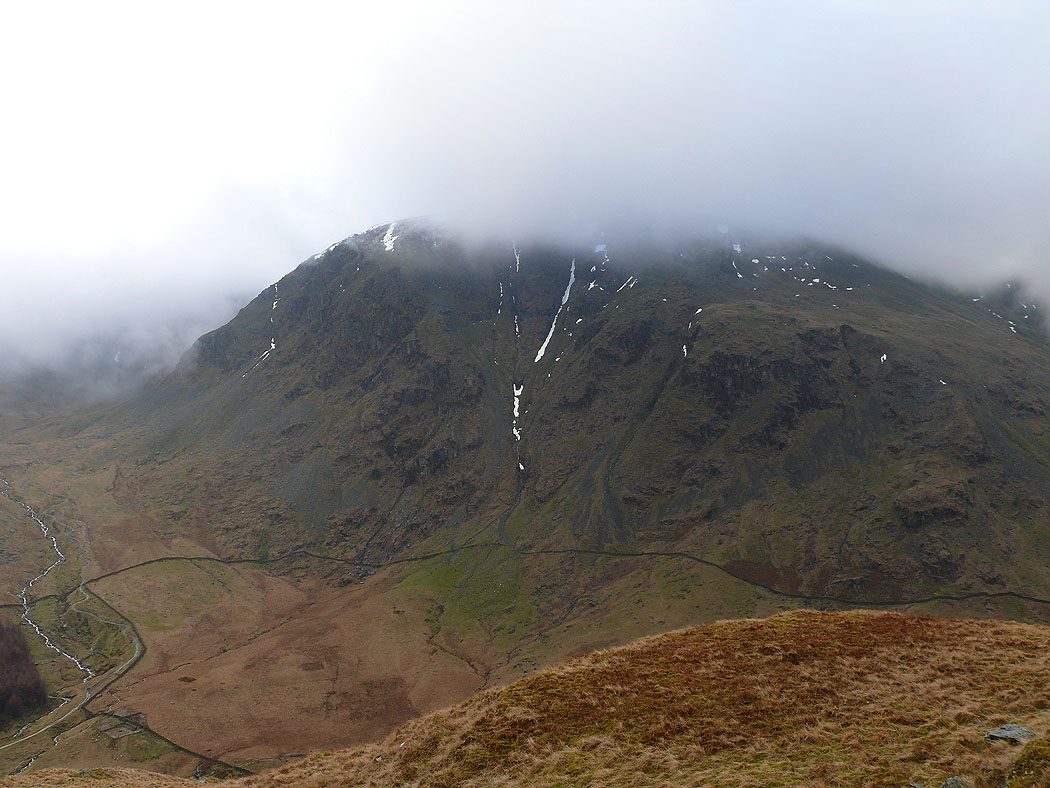
Harter Fell
On Long Stile and the view across to the other side of Haweswater
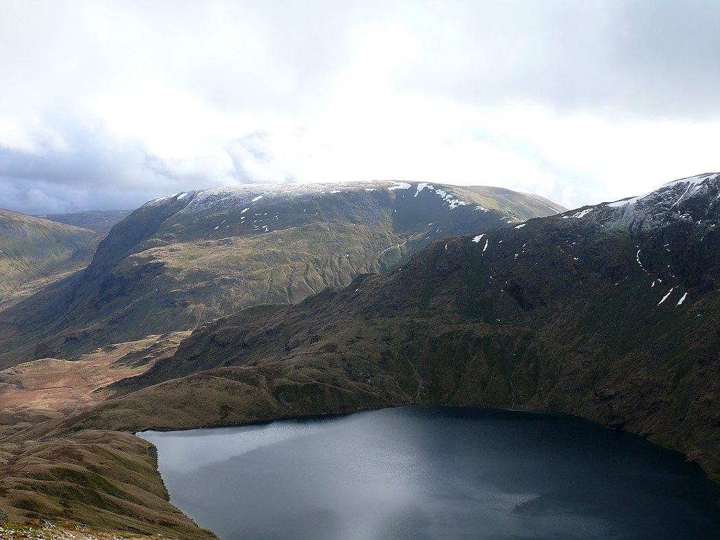
Harter Fell with Blea Water below
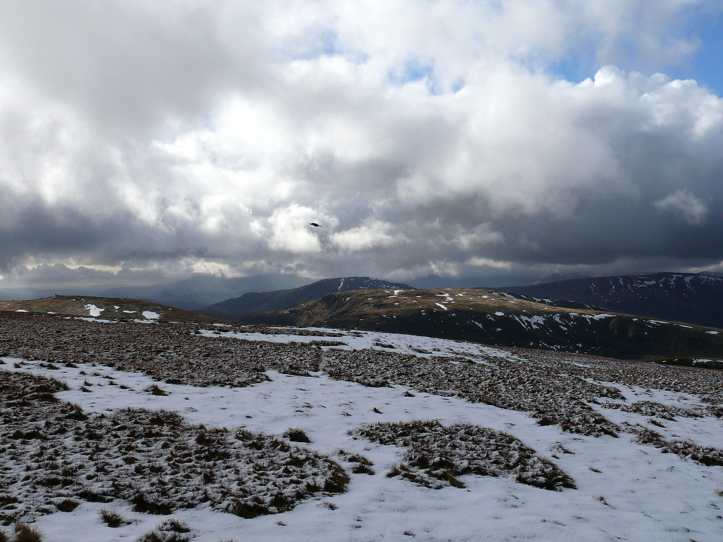
Selside Pike, Branstree and the view down Rough Crag
Fairfield and Helvellyn from High Street
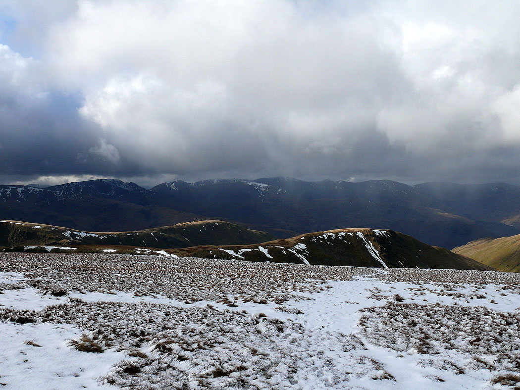
Place Fell, Rest Dodd and The Knott
Thornthwaite Crag, Red Screes and Caudale Moor
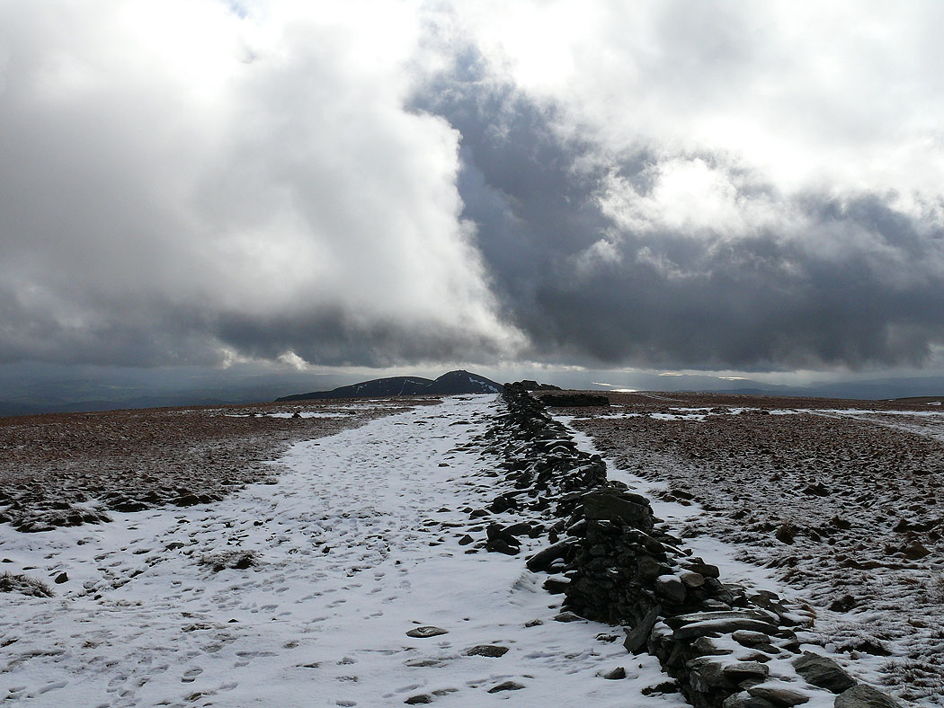
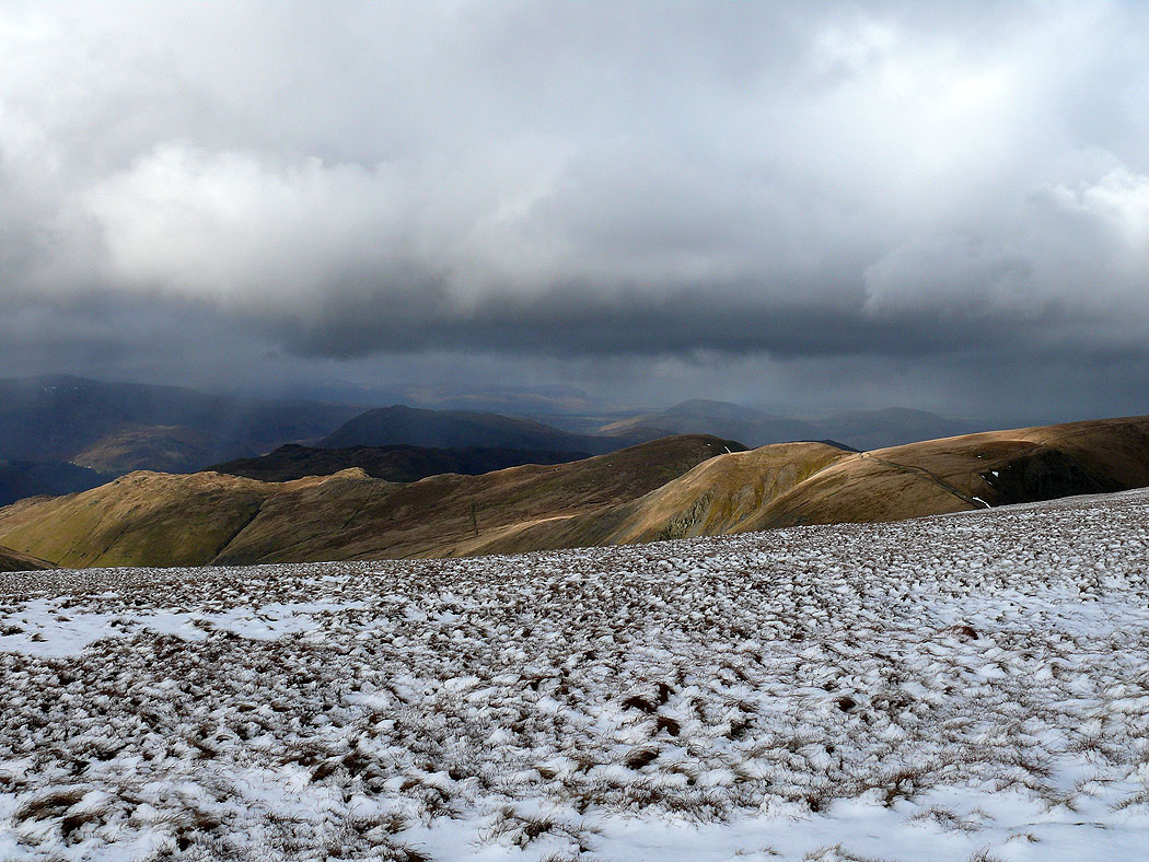
Across the summit to the Ill Bell ridge
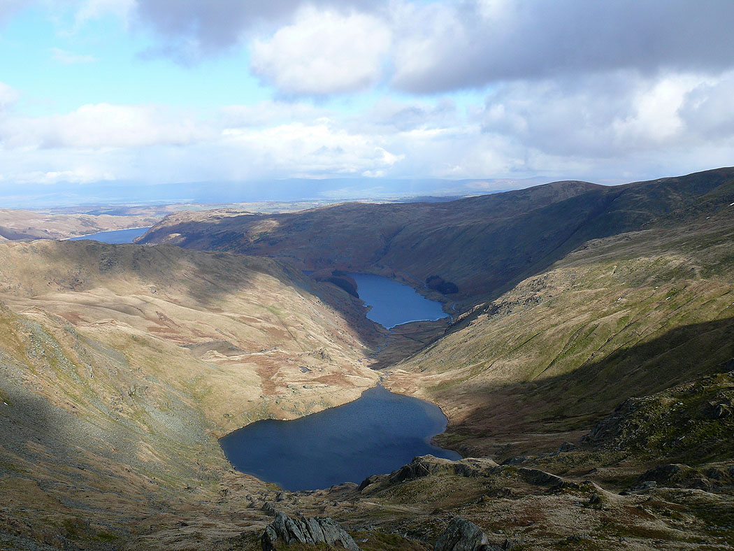
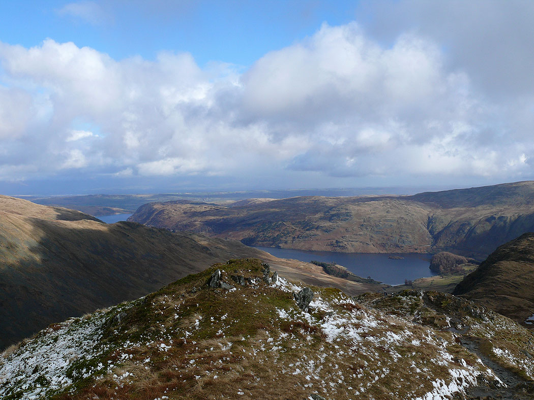
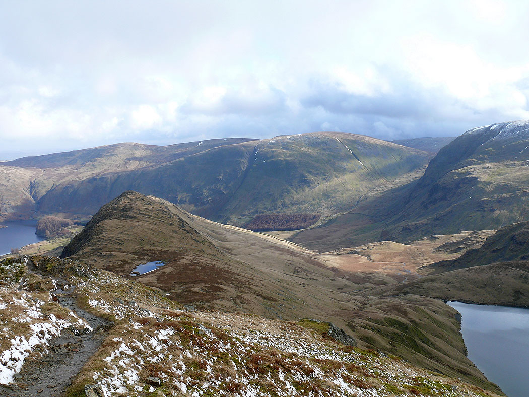
Small Water and Haweswater from Mardale Ill Bell