1st March 2014 - The Southern Gritstone Edges
Walk Details
Distance walked: 11.3 miles
Total ascent: 1846 ft
OS map used: OL24 - The Peak District, White Peak area
Time taken: 7 hrs
Route description: Baslow-Bar Road-Baslow Edge-Curbar Edge-Froggatt Edge-Hay Wood-Grouse Inn-White Edge-A621-Gardom's Edge-A619-Chatsworth Edge-Chatsworth Park-Baslow
Today was the first day of the meteorological spring and with the sunshine and light winds at the start it certainly felt that way. When I arrived in Baslow it was very foggy so I popped into the shop next to the car park and grabbed myself a cup of tea while I waited a while for it to show signs of clearing.
From the car park in Baslow I walked through the village to the track of Bar Road which I followed uphill to reach Wellington's Monument. After a detour to the Eagle Stone I then spent an enjoyable couple of hours walking along the tops of Baslow, Curbar and Froggatt Edges. At the end of Froggatt Edge I crossed the A625 into Hay Wood, and a path uphill to the Grouse Inn on the A625. I crossed the road to continue uphill onto White Edge. My walk then continued along the length of White Edge to the A621. Across the road and then I was on Gardom's Edge. From Gardom's Edge I made my way down to the A619 and a concessionary path that allows you to walk along Chatsworth Edge and then down into Chatsworth Park. There was then a short walk back into Baslow.
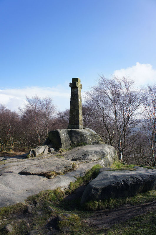
Route map
© Crown copyright. All rights reserved. License number PU 100034184.
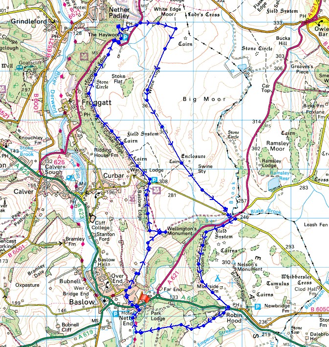
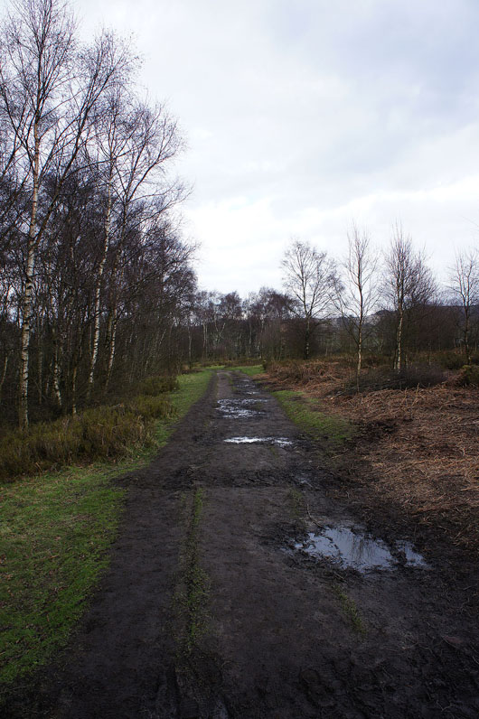
Leaving Baslow on Bar Road. Further up it becomes a track.
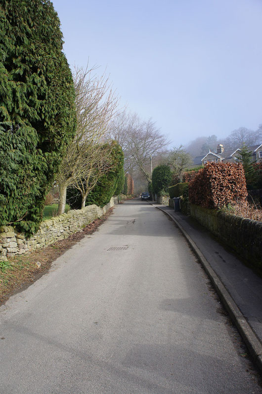
Getting above the fog
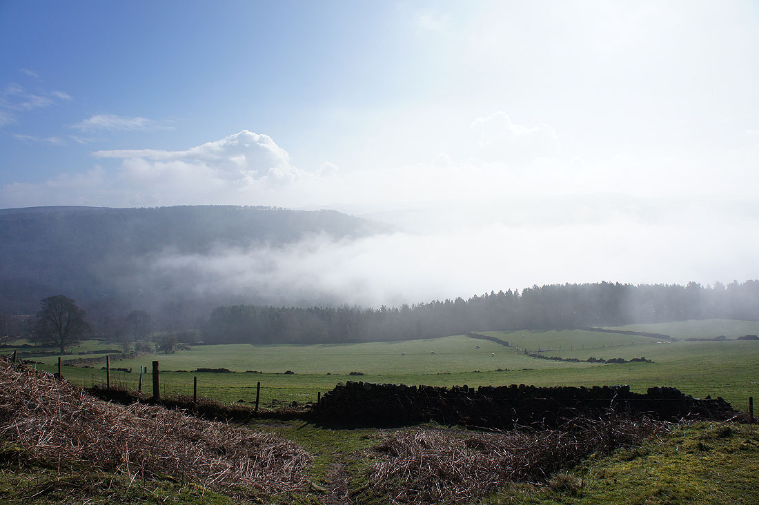
Wellington's Monument. The path up ends here. A short detour and then I'll be walking along the top of Baslow Edge.
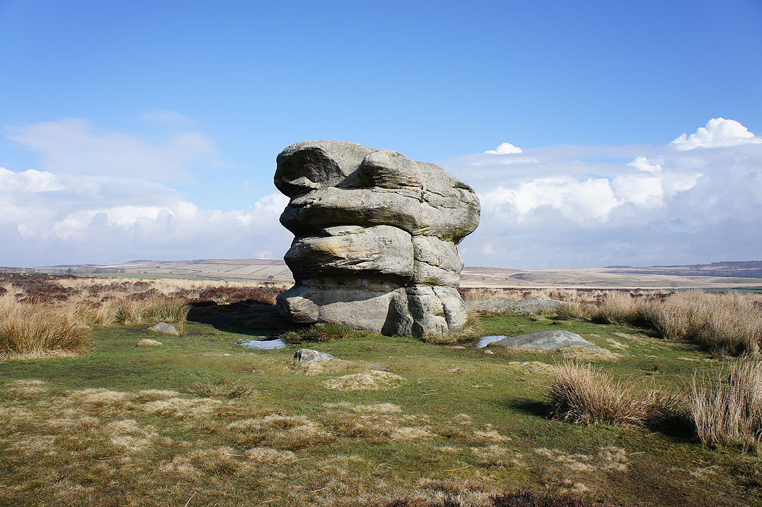
The Eagle Stone. The edge top path misses this.
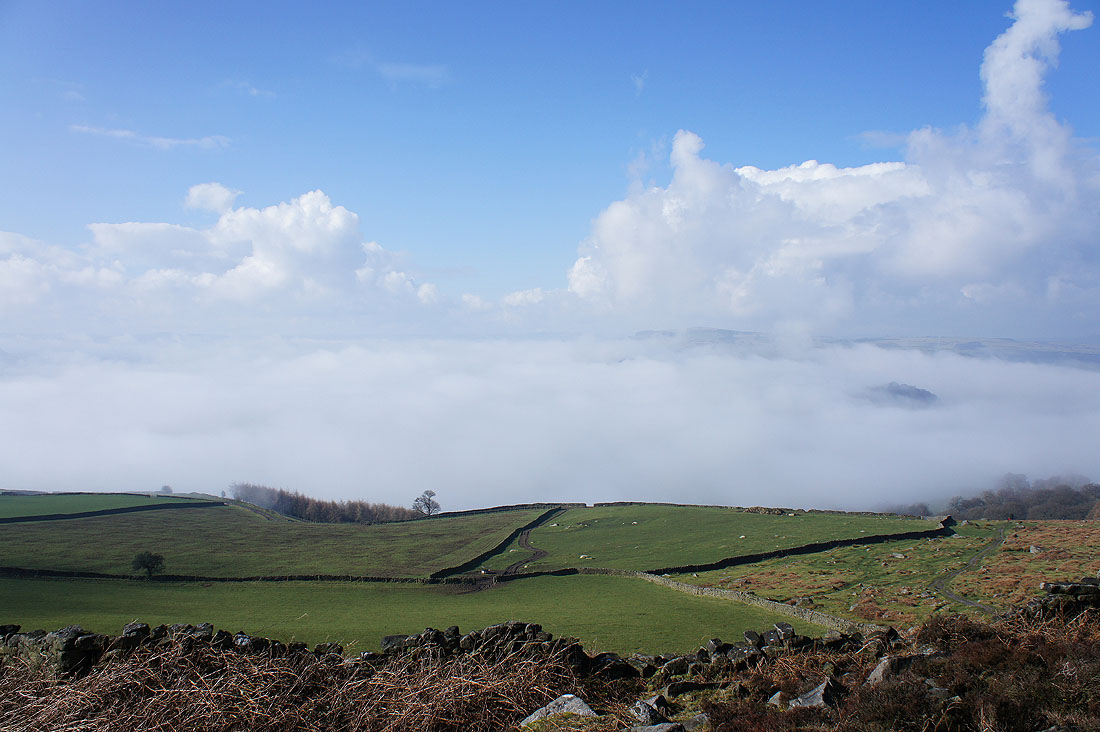
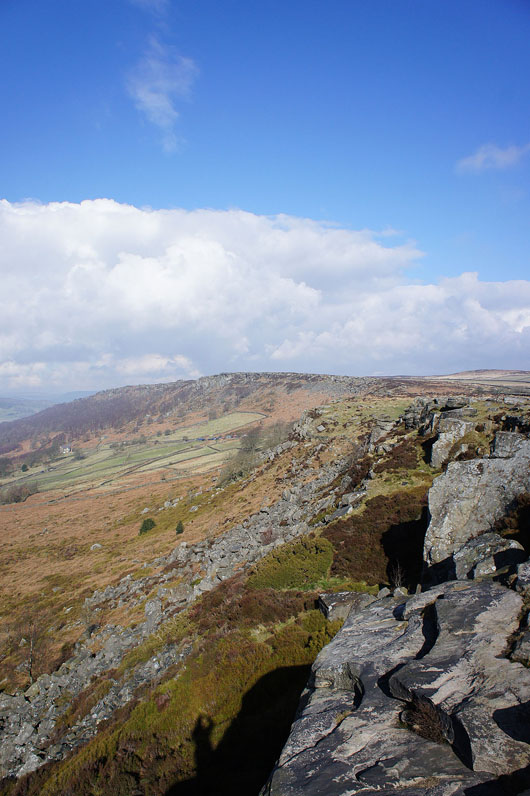
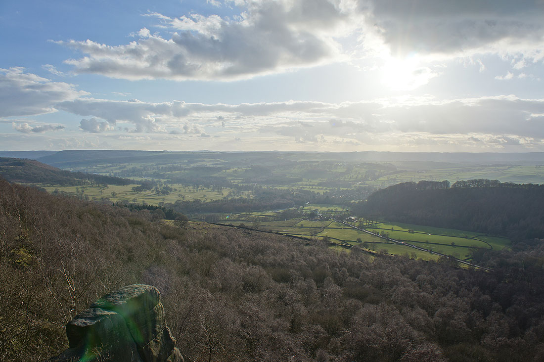
At the start of Baslow Edge with a fog filled Derwent valley below..

On Baslow Edge with Curbar Edge in the distance
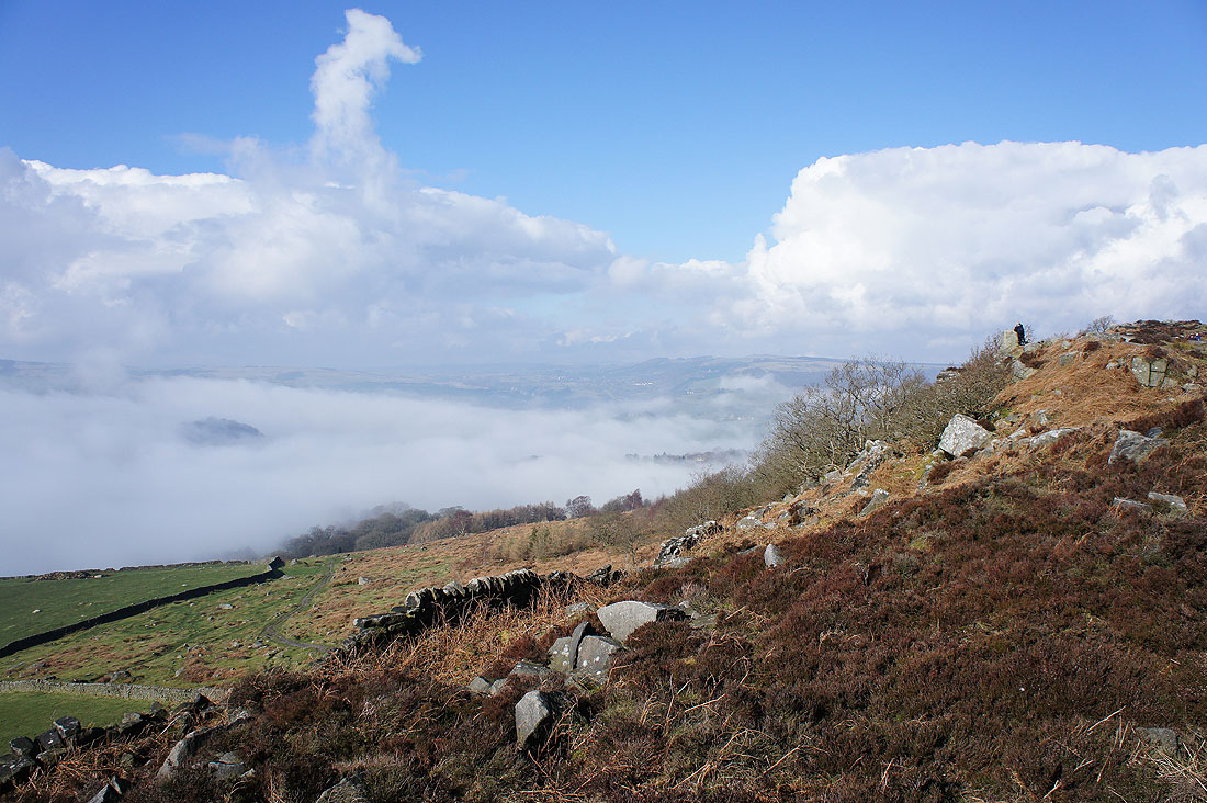
Just ten minutes later and the fog is really starting to clear..

Curbar Edge getting closer as I near the end of Baslow Edge
At the end of Baslow Edge and the fog has nearly cleared

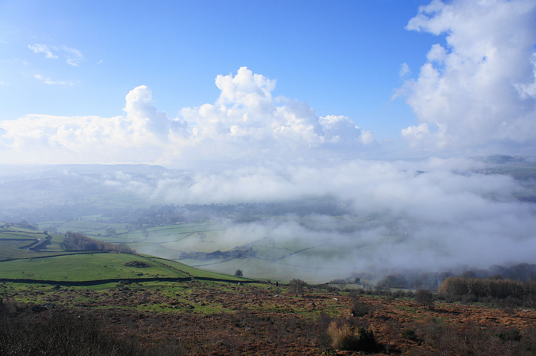
The village of Curbar is just below with Calver beyond. Sir William Hill is the hill on the right. There was a plaque to describe the scene.
Fifteen minutes later and I'm at the start of Curbar Edge
Looking down the Derwent valley and that's Baslow Edge on the left
White Edge. I'll be walking up there later in the day.
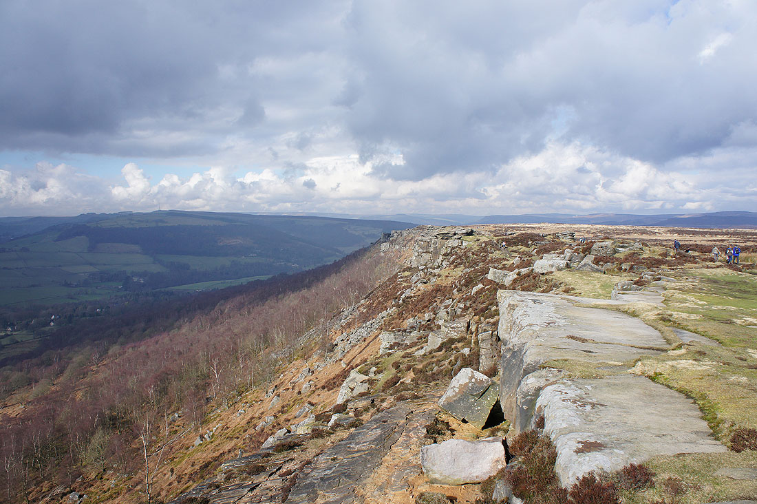
I'm not sure where Curbar Edge ends and Froggatt Edge begins but here where the path drops a little and the edge bends round to the right is a good place
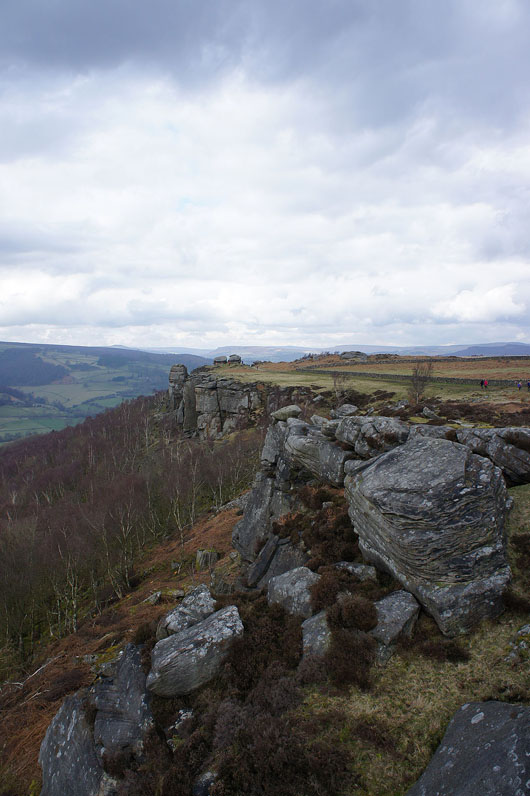
On Froggatt Edge
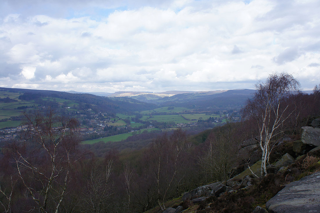
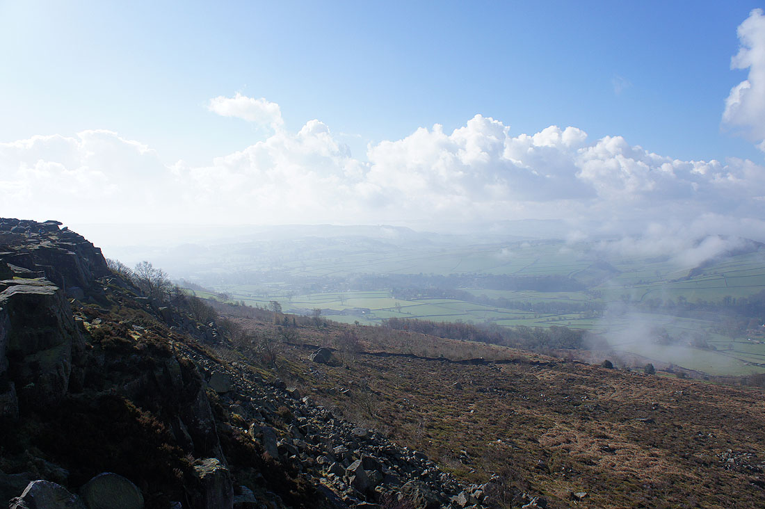
Towards the end of Froggatt Edge the path leaves the tops of crags to pass through woodland but there are a few places where you can make your way through the trees to get a view up the Derwent valley. The village below on the left is Grindleford and in the distance Win Hill, Bamford Edge and Stanage Edge can be made out.
Through the woods on the last bit of Froggatt Edge
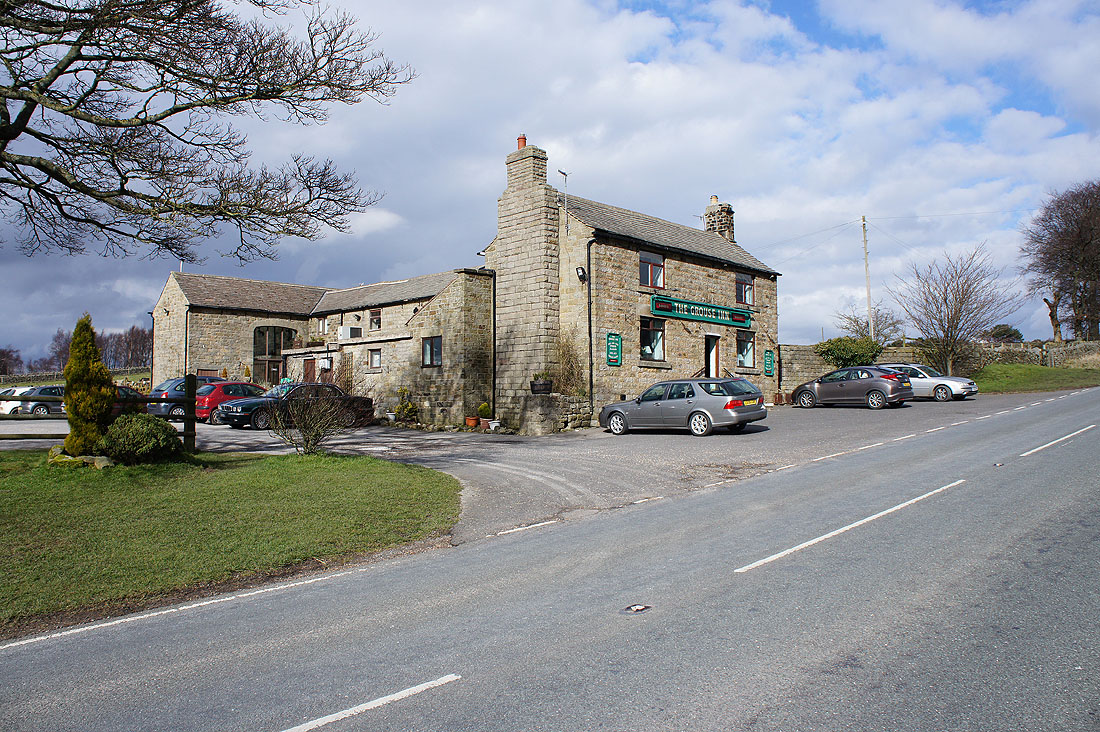
The Grouse Inn on the A625
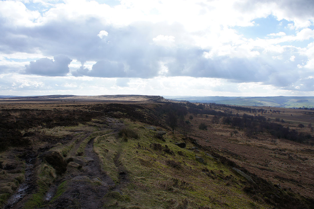
A great walk along White Edge lies ahead
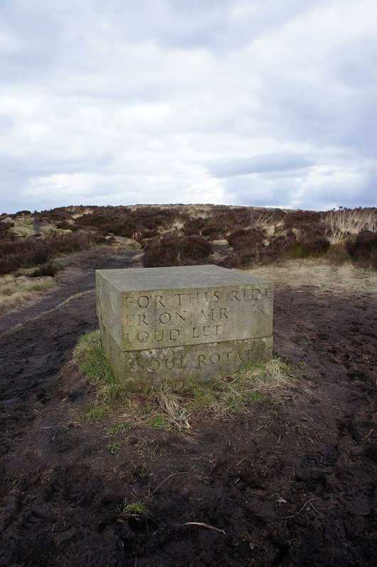
A Companion Stone. I'd never heard of them but there was a web address on the top so I've included a link to the site and in particular this stone on White Edge.
A bit of sunshine makes all the difference to the appreciation of the view up the Derwent valley
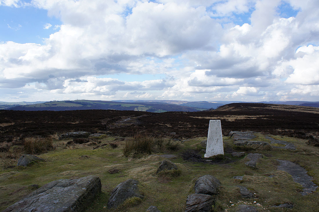
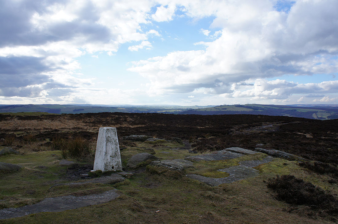
The trig point on White Edge is the high point of my walk today. Kinder Scout is the hill in the far distance.
To the north there is sunshine on Stanage Edge and Higger Tor
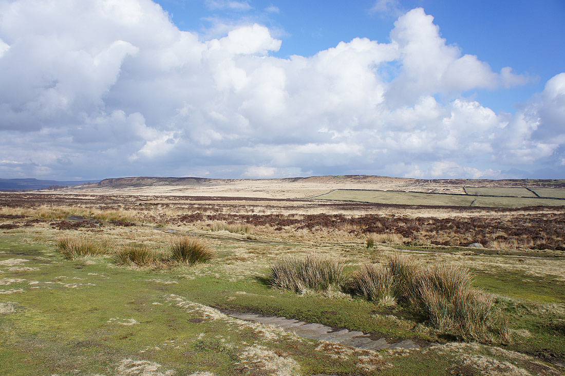
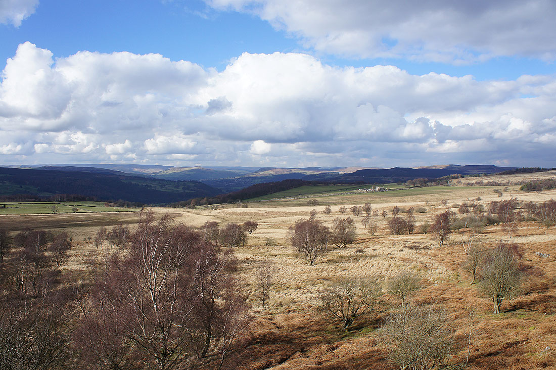
White Edge Moor and Big Moor
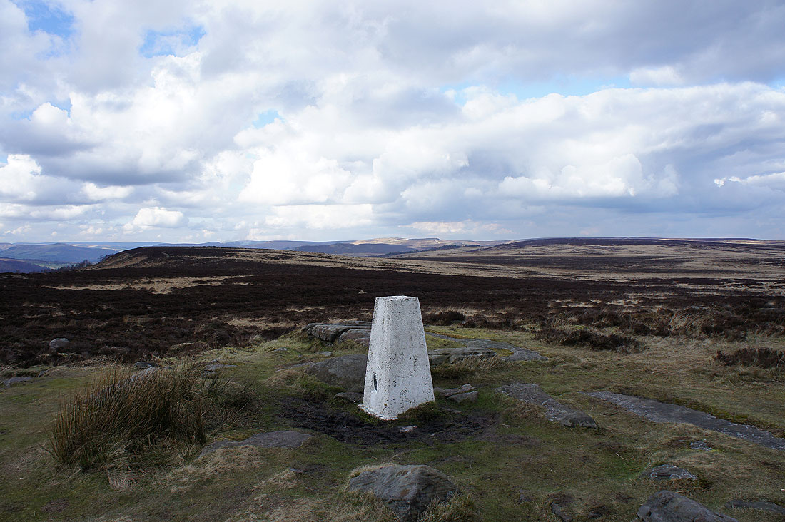
Looking to the northwest
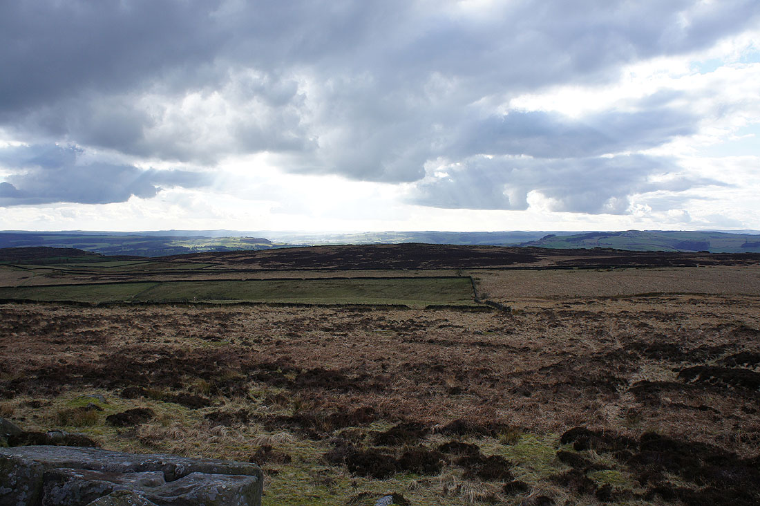
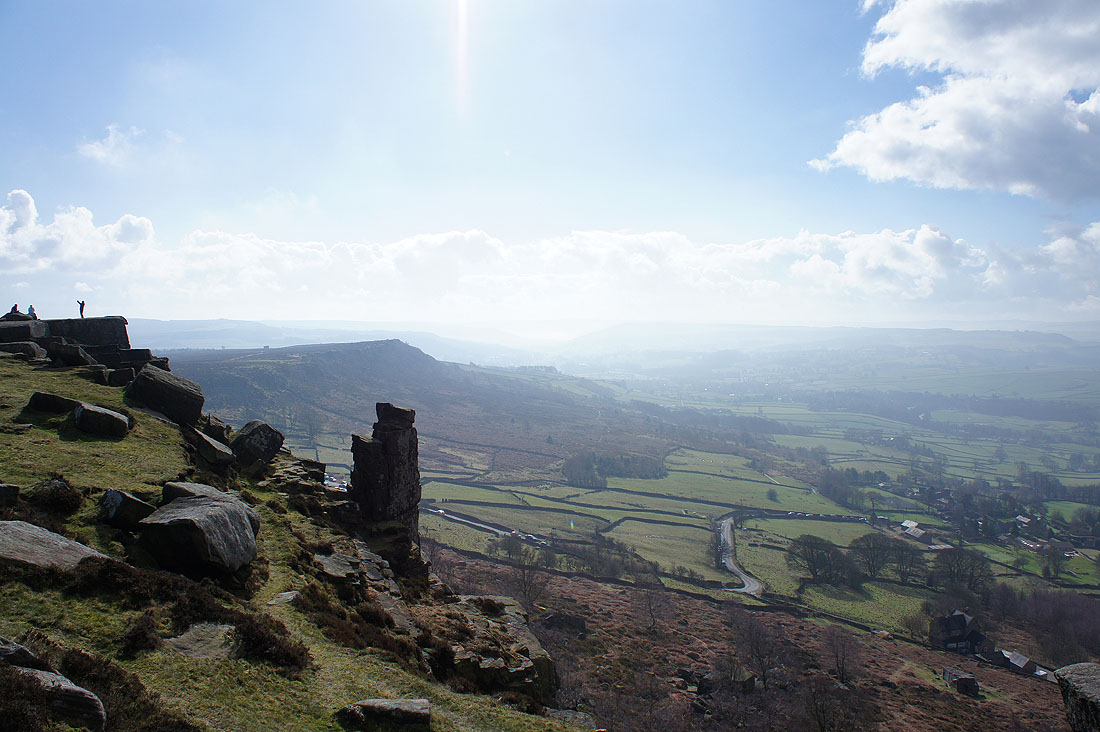
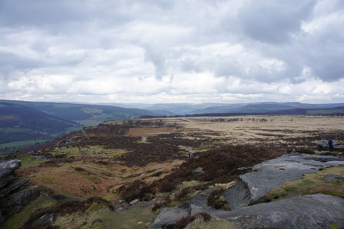
The edge of the moor mid-distance is Curbar Edge. I could see quite a few people making their way along it.
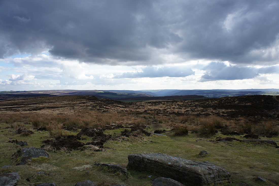
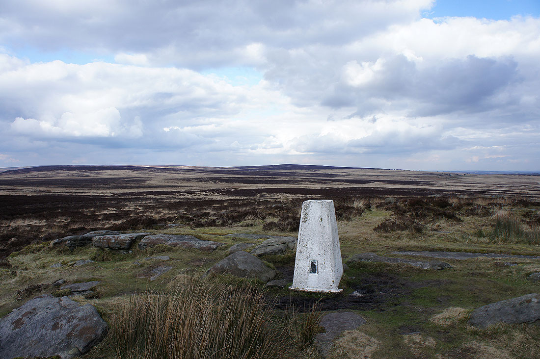
A final shot from the trig point looking south down the Derwent valley

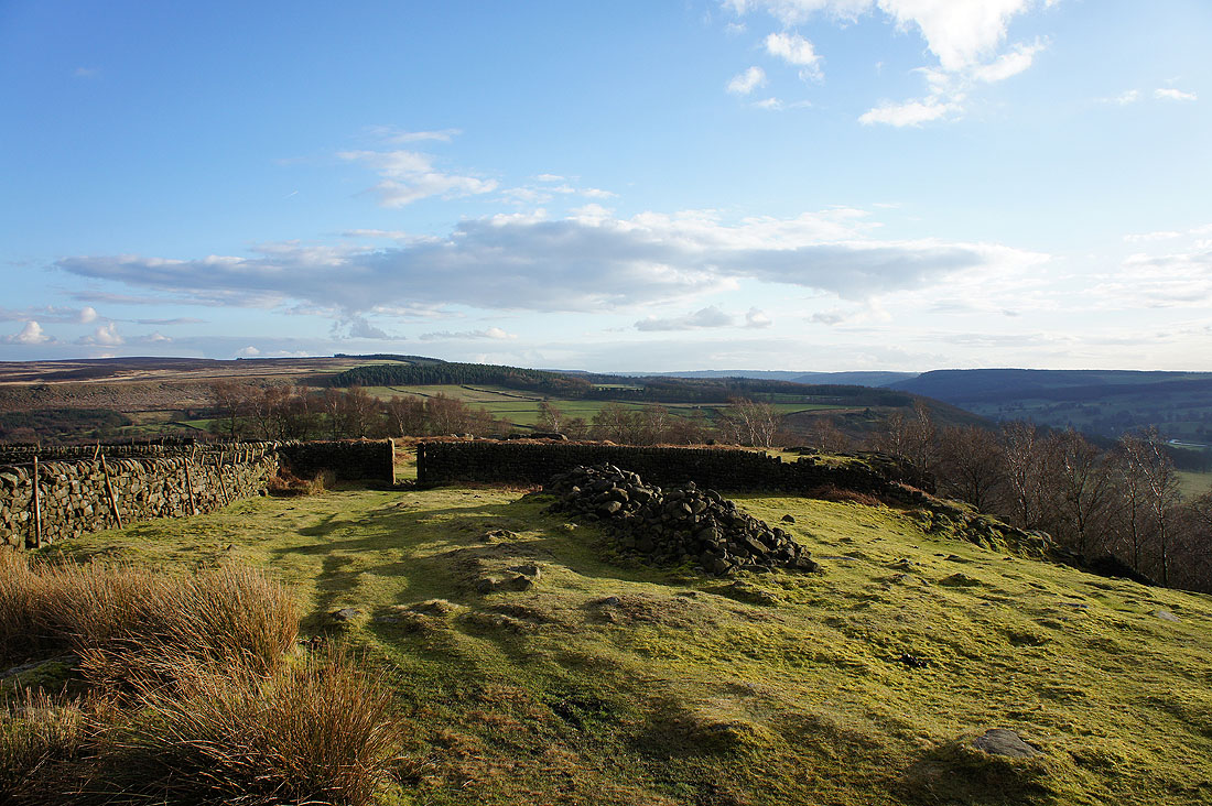
Leaving White Edge to head to Gardom's Edge, which is the wooded hillside on the right
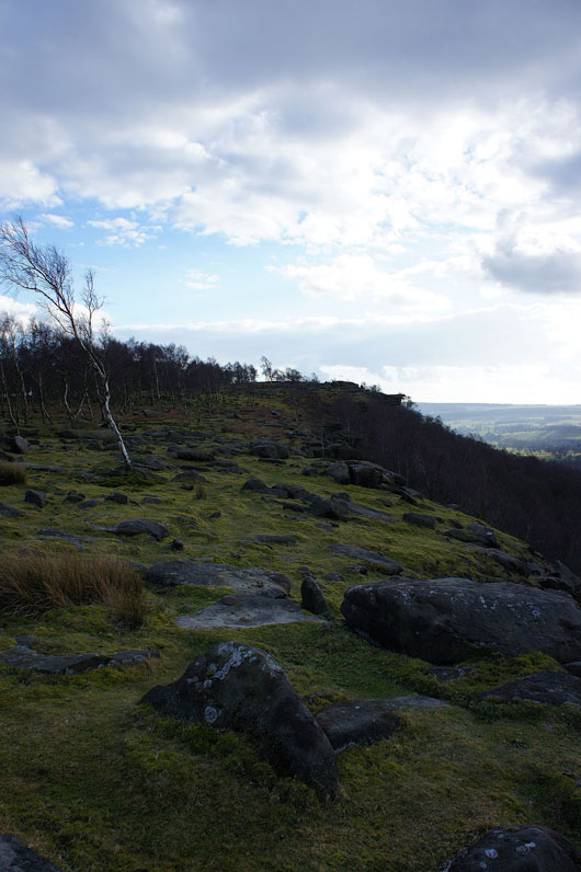
Onto Gardom's Edge
Chatsworth Park, the Derwent valley and Baslow from Gardom's Edge

On the other side of the valley of Bar Brook is the hillside with the Wellington Monument atop it. The sharp dip in the middle of the picture is the start of Curbar Edge.
Through the gap in the wall and then I'll head down to pick up a path which will take me to the A619 and then Chatsworth Edge
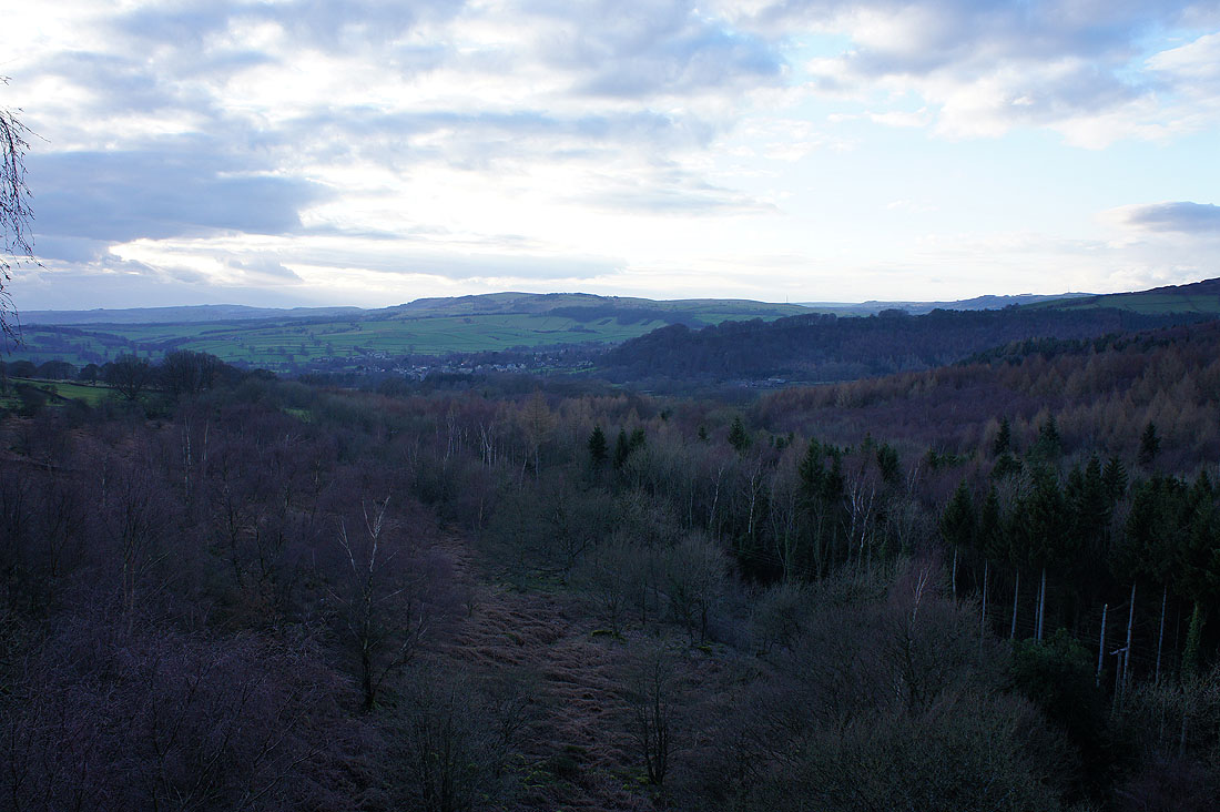
Baslow and Jumble Coppice from Chatsworth Edge
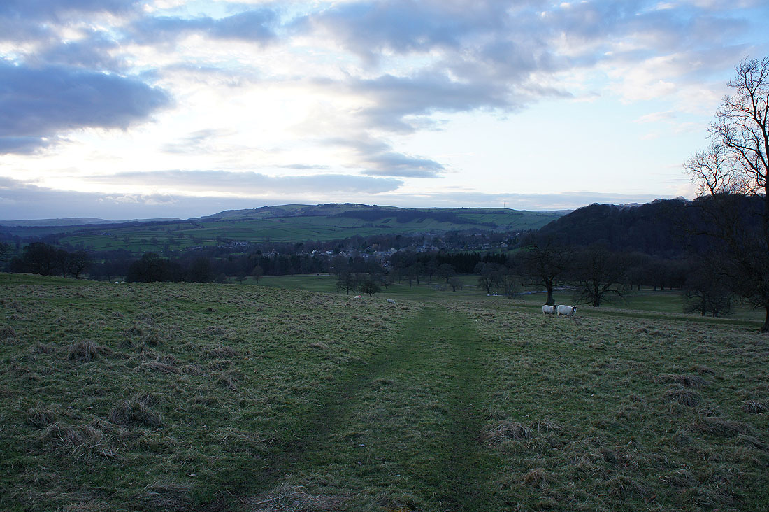
Heading down into Chatsworth Park
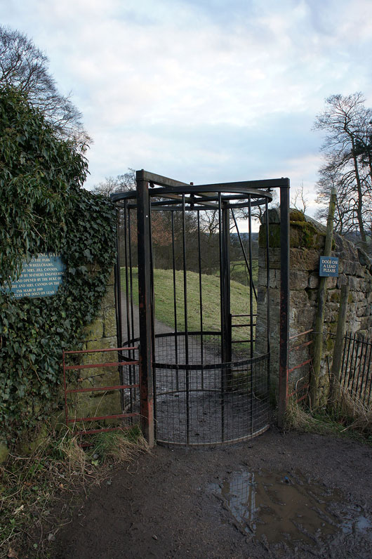
The Cannon Kissing Gate into Chatsworth Park, or in my case, out of it

Finally back in Baslow