1st March 2020 - Catrigg Force to Smearsett Scar
Walk Details
Distance walked: 11.6 miles
Total ascent: 2352 ft
OS map used: OL2 - Yorkshire Dales, Southern & Western areas
Time taken: 6.5 hrs
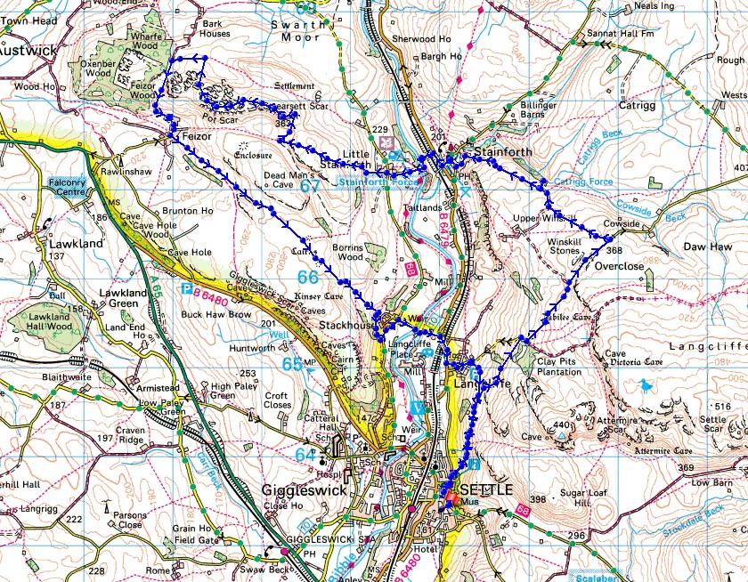
Route description: Settle-Pennine Bridleway-Winskill Stones-Pennine Bridleway-Catrigg Force-Pennine Bridleway-Stainforth-Stainforth Force-Little Stainforth-Smearsett Scar-Pot Scar-Feizor-Stackhouse-Langcliffe-Pennine Bridleway-Settle
Another named storm, Storm Jorge (named by the Spanish met service, otherwise it would have been Storm Ellen if named by the Met. Office), has decided to impact another weekend's weather and limit my options for where I can go walking. I decided to do a walk around Ribblesdale just north of Settle, taking in the waterfalls of Catrigg Force and Stainforth Force, and the limestone ridge of Smearsett Scar to Pot Scar. It was the strength of the wind that stopped me venturing too high and sticking to doing a low level walk. The wind on Smearsett Scar was particularly fierce, and I had to brace myself against the trig point so that I could keep still enough to take photos. Apart from the wind it wasn't too bad a day, it stayed dry, and there was some sunshine.
After parking in the Greenfoot car park in Settle, I walked up Castlebergh Lane and Castle Hill and onto the Pennine Bridleway. I followed the Pennine Bridleway north and up to the Langcliffe to Malham Tarn road. I then walked north along this road to Winskill Stones and up to the cattle grid just past them, where I picked up the bridleway down to Stainforth, a detour to see Catrigg Force was done on the way. After making way through Stainforth to the B6479, I crossed the road and walked down the lane to Stainforth Bridge over the River Ribble and up to Little Stainforth, with a short detour to Stainforth Force. I then went straight across the road in Little Stainforth and onto the footpath opposite, which I followed uphill to the west and onto the limestone moorland above. When I reached access land I left the path and made my way up to the trig point on Smearsett Scar, then across to the top of Pot Scar, before heading north down to a public footpath, which I followed west to pick up the bridleway to Feizor. After making my way through Feizor I took the footpath east across the moors and down to Stackhouse, where after a brief walk north along Stainforth Lane I took the footpath down to the footbridge over the River Ribble. Once across I walked up the lane to the B6479, then south by this road and into Langcliffe. I then made my way through Langcliffe and onto the bridleway to Settle that leaves the road to Malham Tarn just as it starts its steep climb. I followed this bridleway south, it joins the Pennine Bridleway, and once on this I retraced my outbound steps back to Settle.
Total ascent: 2352 ft
OS map used: OL2 - Yorkshire Dales, Southern & Western areas
Time taken: 6.5 hrs
Route description: Settle-Pennine Bridleway-Winskill Stones-Pennine Bridleway-Catrigg Force-Pennine Bridleway-Stainforth-Stainforth Force-Little Stainforth-Smearsett Scar-Pot Scar-Feizor-Stackhouse-Langcliffe-Pennine Bridleway-Settle
Another named storm, Storm Jorge (named by the Spanish met service, otherwise it would have been Storm Ellen if named by the Met. Office), has decided to impact another weekend's weather and limit my options for where I can go walking. I decided to do a walk around Ribblesdale just north of Settle, taking in the waterfalls of Catrigg Force and Stainforth Force, and the limestone ridge of Smearsett Scar to Pot Scar. It was the strength of the wind that stopped me venturing too high and sticking to doing a low level walk. The wind on Smearsett Scar was particularly fierce, and I had to brace myself against the trig point so that I could keep still enough to take photos. Apart from the wind it wasn't too bad a day, it stayed dry, and there was some sunshine.
After parking in the Greenfoot car park in Settle, I walked up Castlebergh Lane and Castle Hill and onto the Pennine Bridleway. I followed the Pennine Bridleway north and up to the Langcliffe to Malham Tarn road. I then walked north along this road to Winskill Stones and up to the cattle grid just past them, where I picked up the bridleway down to Stainforth, a detour to see Catrigg Force was done on the way. After making way through Stainforth to the B6479, I crossed the road and walked down the lane to Stainforth Bridge over the River Ribble and up to Little Stainforth, with a short detour to Stainforth Force. I then went straight across the road in Little Stainforth and onto the footpath opposite, which I followed uphill to the west and onto the limestone moorland above. When I reached access land I left the path and made my way up to the trig point on Smearsett Scar, then across to the top of Pot Scar, before heading north down to a public footpath, which I followed west to pick up the bridleway to Feizor. After making my way through Feizor I took the footpath east across the moors and down to Stackhouse, where after a brief walk north along Stainforth Lane I took the footpath down to the footbridge over the River Ribble. Once across I walked up the lane to the B6479, then south by this road and into Langcliffe. I then made my way through Langcliffe and onto the bridleway to Settle that leaves the road to Malham Tarn just as it starts its steep climb. I followed this bridleway south, it joins the Pennine Bridleway, and once on this I retraced my outbound steps back to Settle.
Route map
© Crown copyright. All rights reserved. License number PU 100034184.
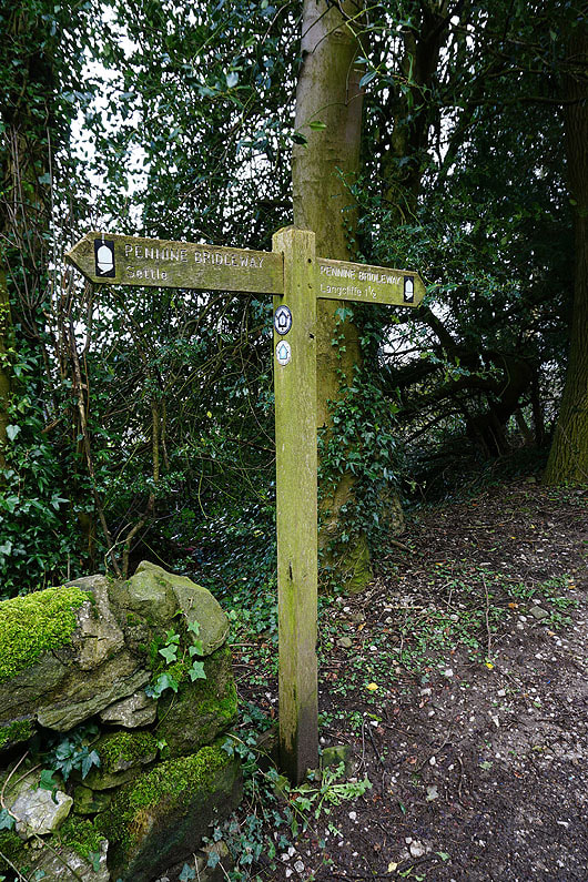
Leaving Settle on the Pennine Bridleway
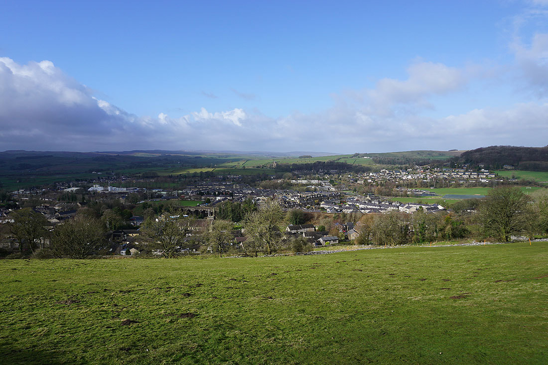
Settle below
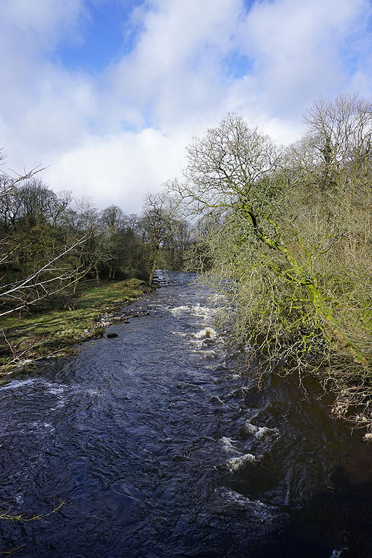
Looking up Ribblesdale..
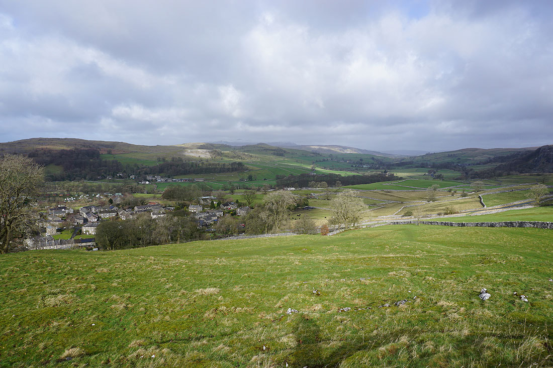
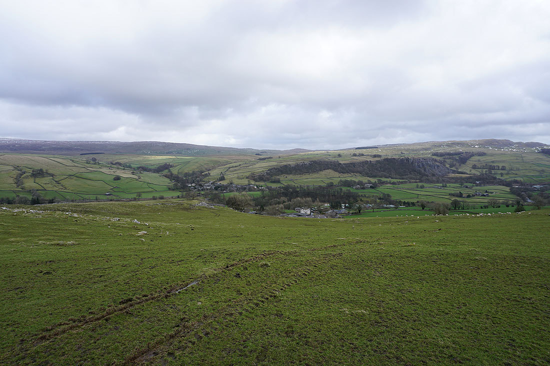
Looking down on Settle and Langcliffe as the Pennine Bridleway reaches the road from Langcliffe to Malham Tarn
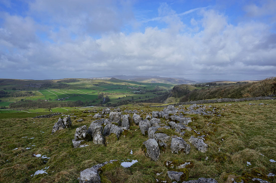
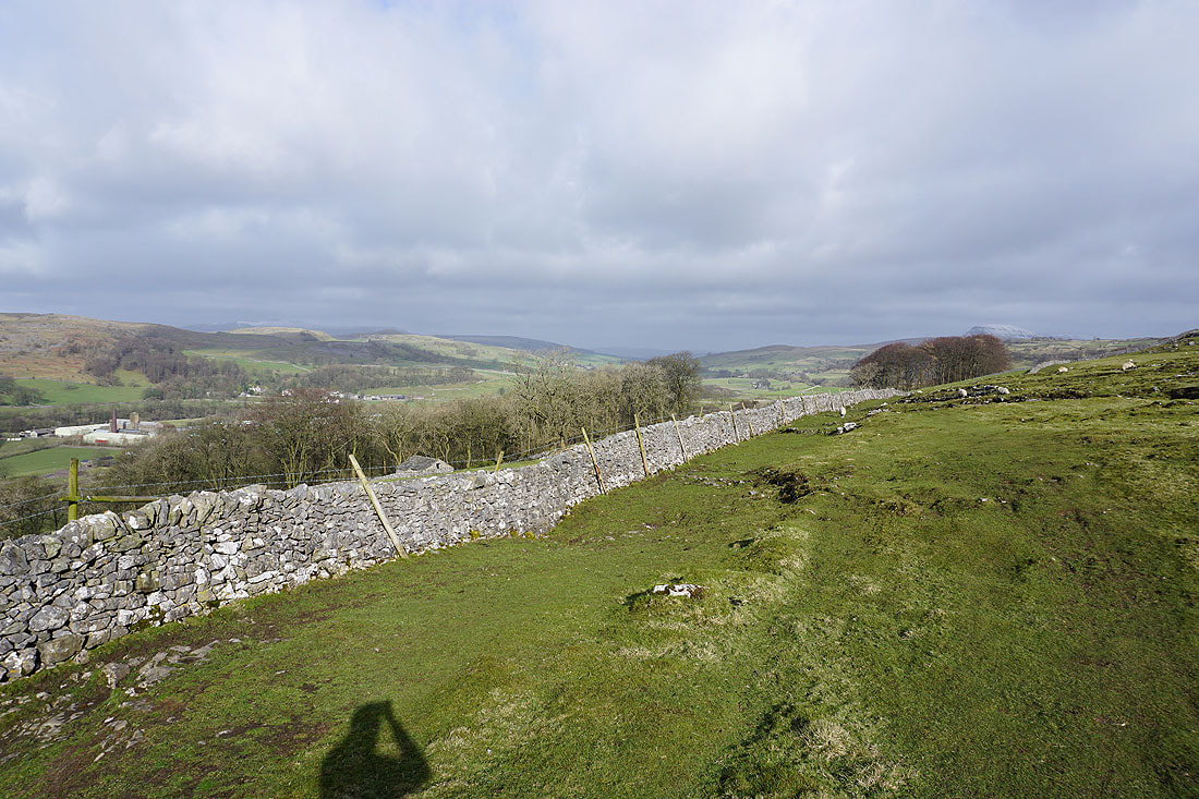
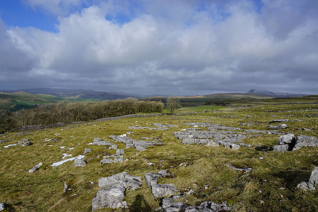
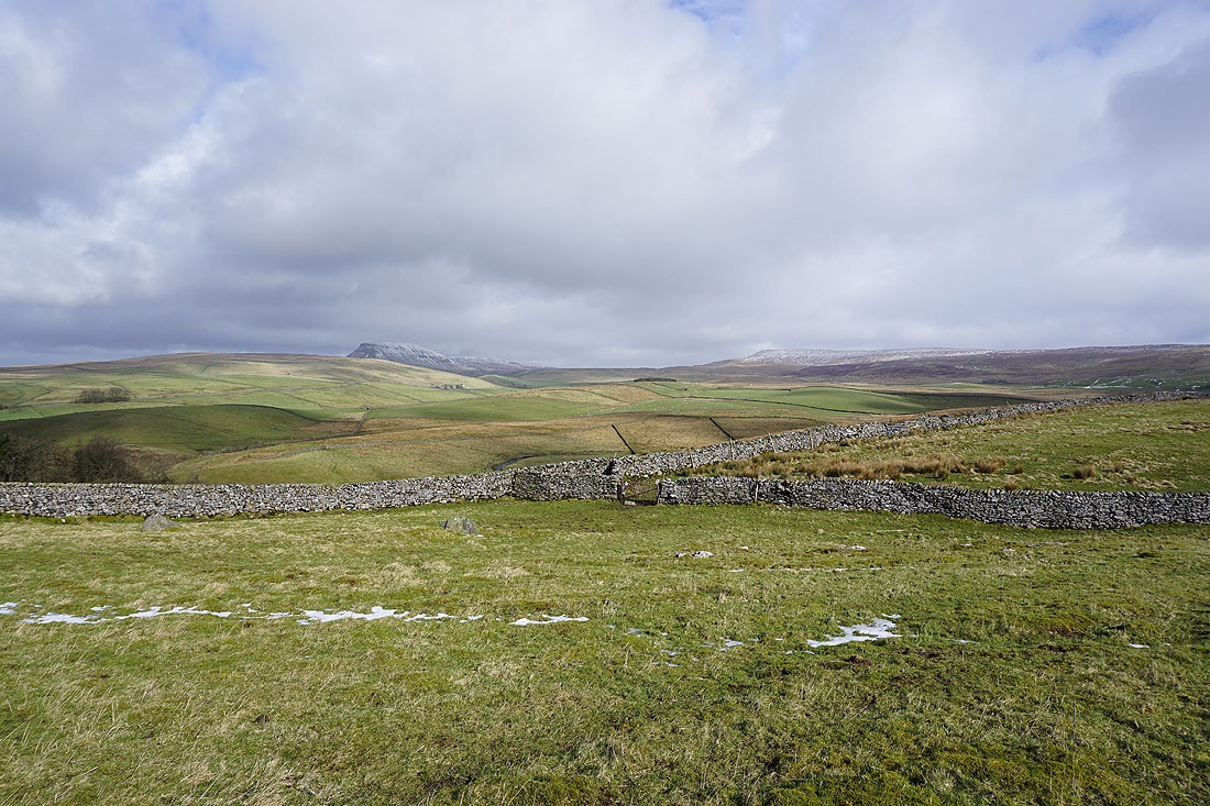
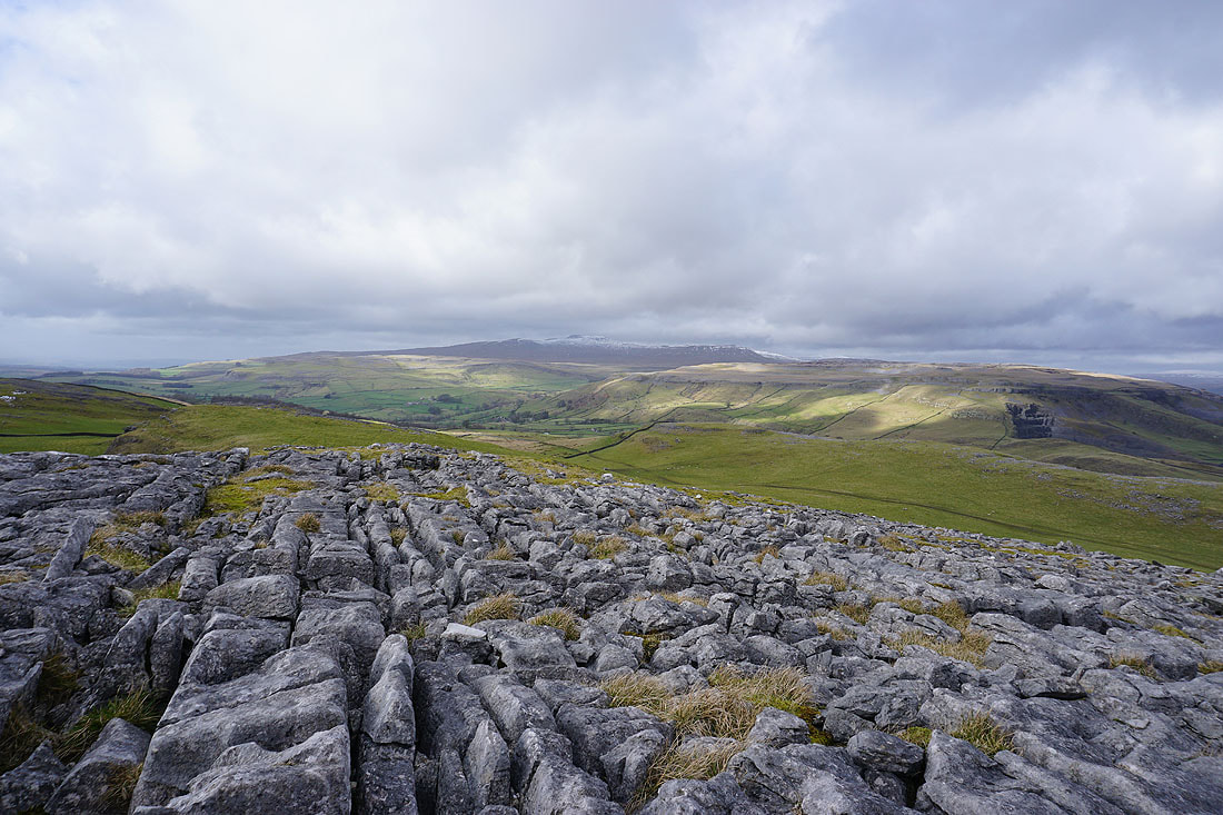
Looking across Ribblesdale to a snow capped Ingleborough from a patch of exposed limestone next to the road
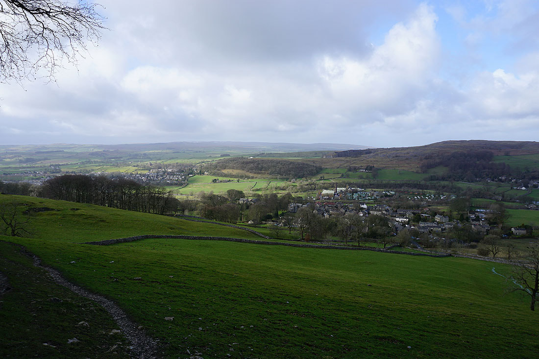
Langcliffe and Stackhouse down in Ribblesdale
Ingleborough and Penyghent
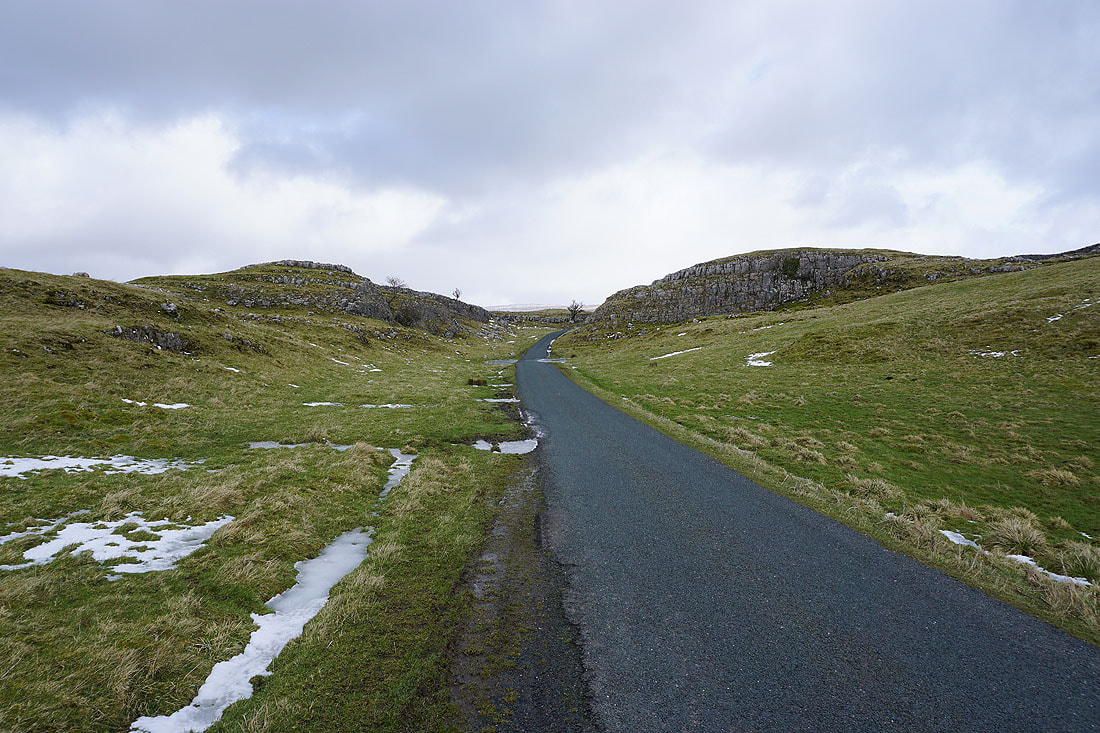
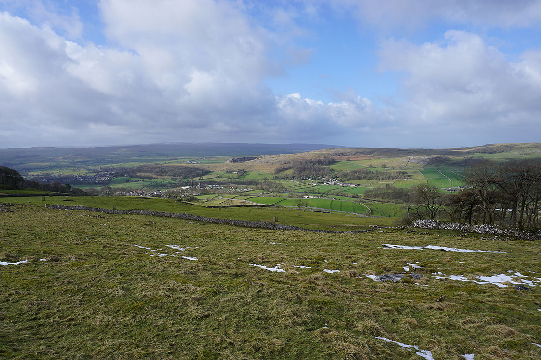
On the road to Winskill Stones
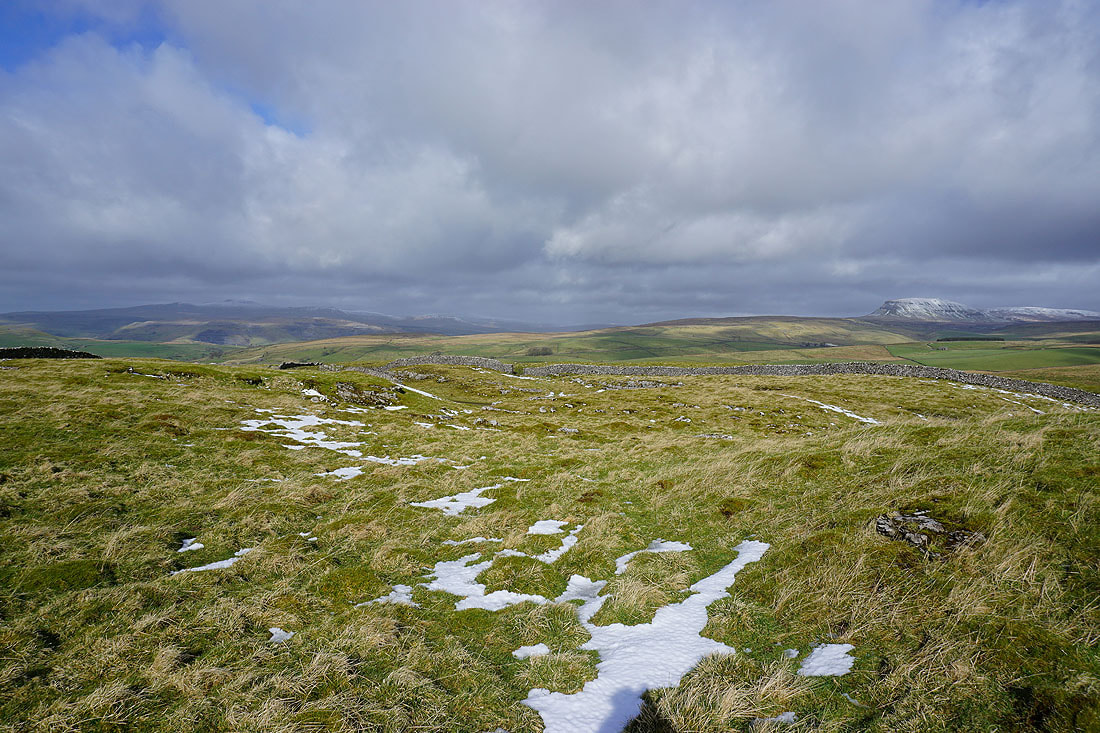
Ingleborough and Penyghent from Winskill Stones
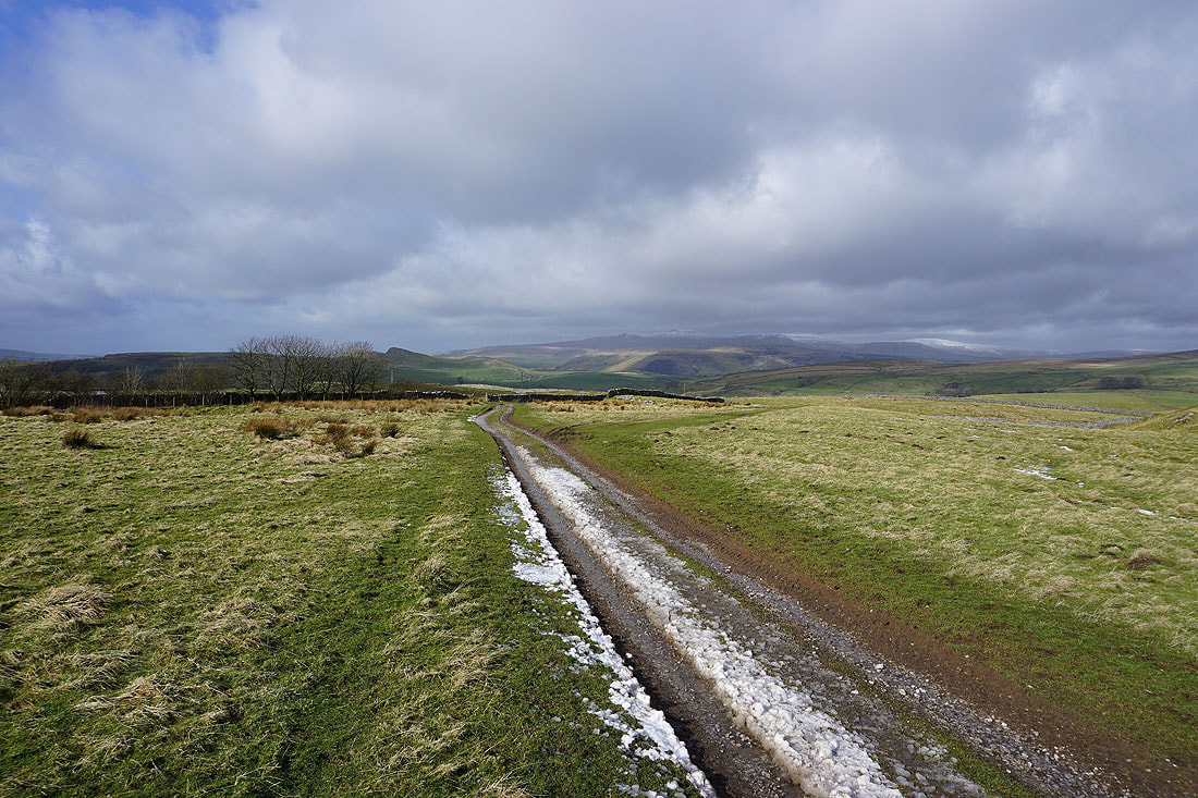
On the bridleway down to Stainforth
Penyghent and Fountains Fell across the valley of Stainforth Beck
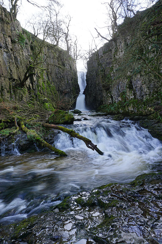
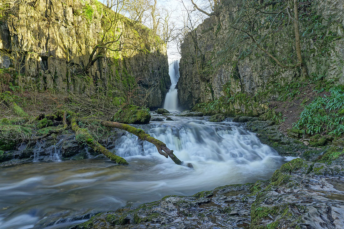
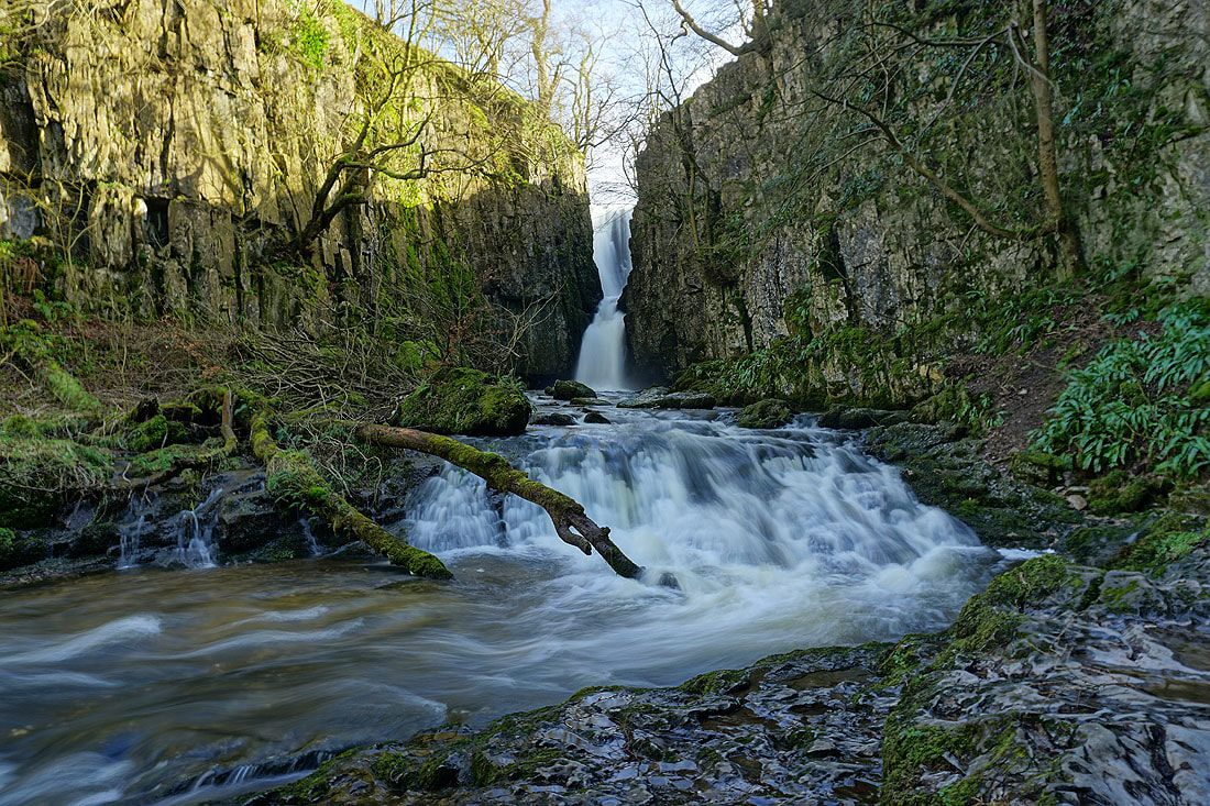
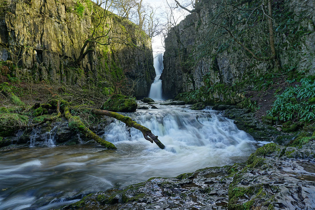
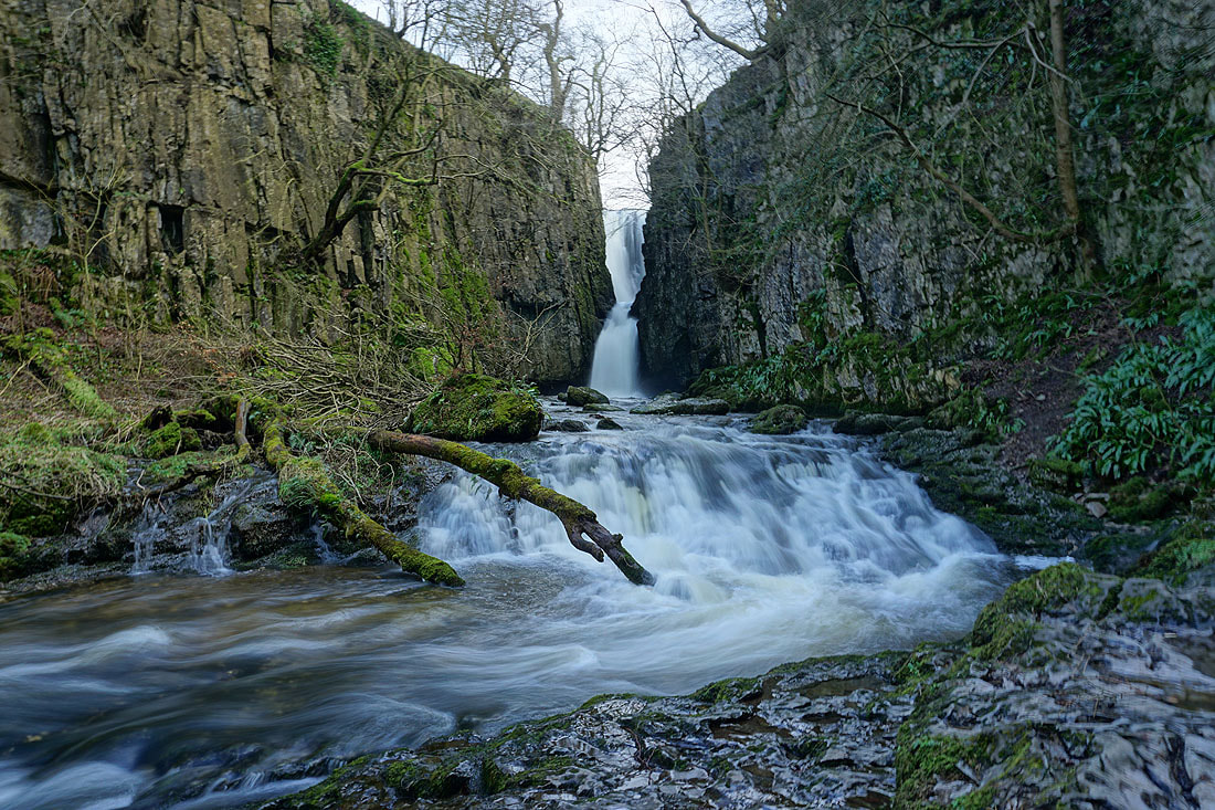
Catrigg Force on Stainforth Beck. I set my tripod up and took lots of photos of different exposures, and with HDR on. A very pleasant 45 minutes was spent here and it was a welcome break from the strong wind.
|
|
|
|
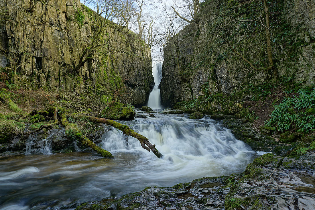
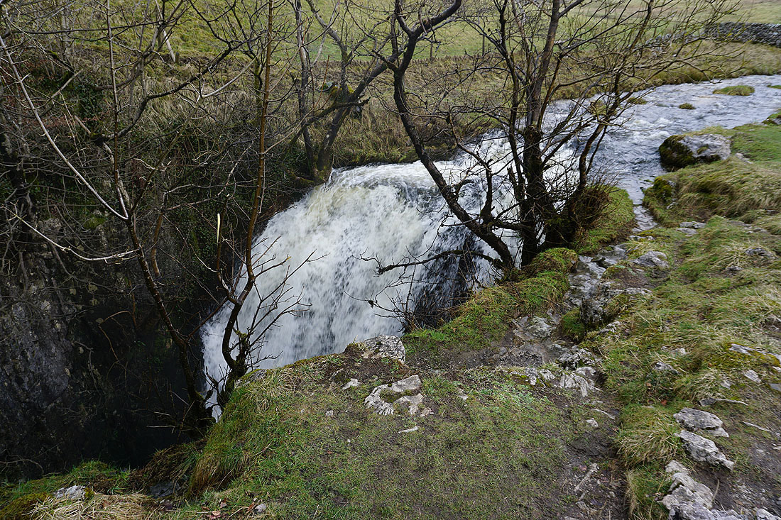
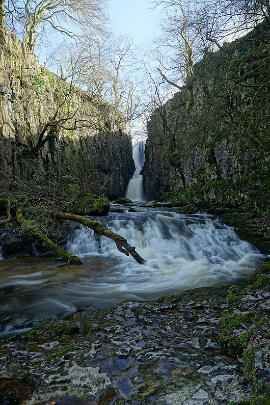
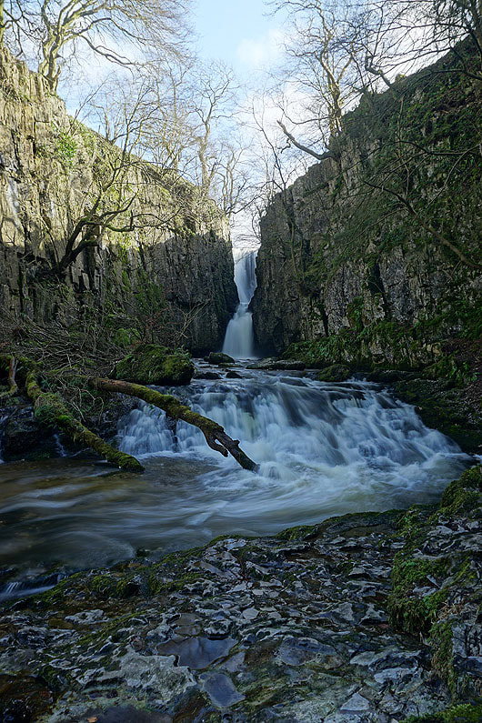
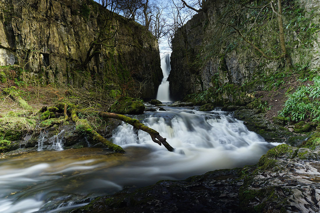
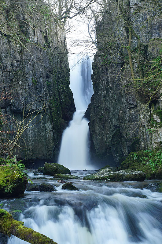
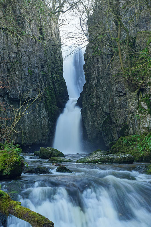
Stainforth Beck as it makes the plunge over Catrigg Force
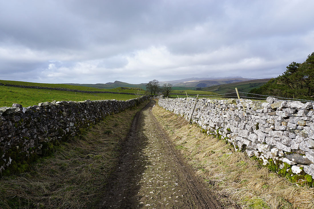
Back on the bridleway down to Stainforth. The pointed top of Smearsett Scar can be seen on the other side of the valley, where I'm heading to next..
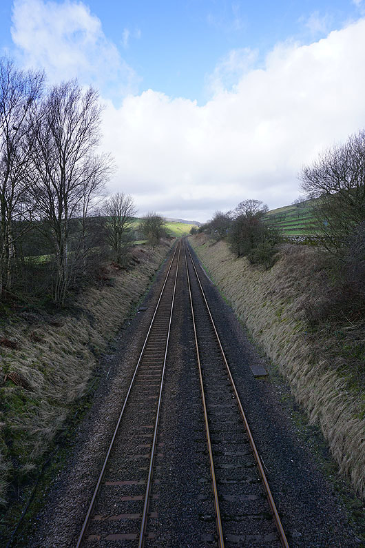
Crossing the Settle to Carlisle line
|
and the River Ribble
|
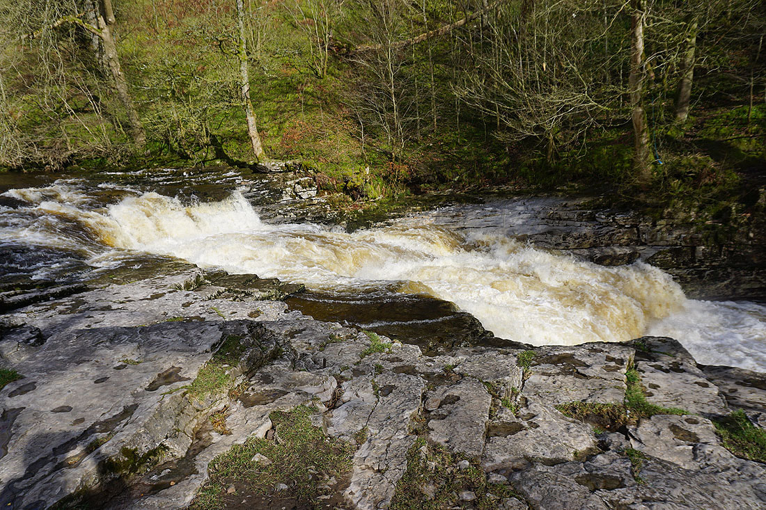
Stainforth Force..
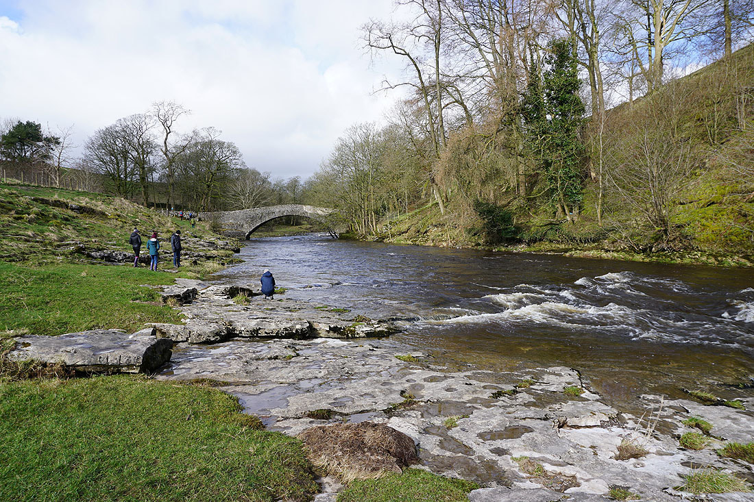
..and Stainforth Bridge over the River Ribble
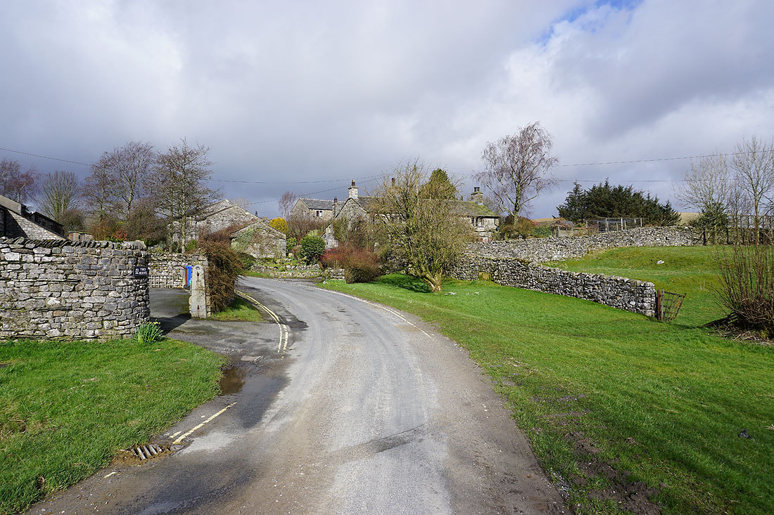
In Little Stainforth
Looking back to Stainforth and Little Stainforth in Ribblesdale as I take the footpath to Feizor
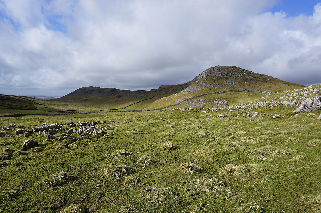
The limestone ridge of Pot Scar to Smearsett Scar appears ahead
and after a bit of a steep climb I'm on the top of Smearsett Scar, with a view across to Pot Scar
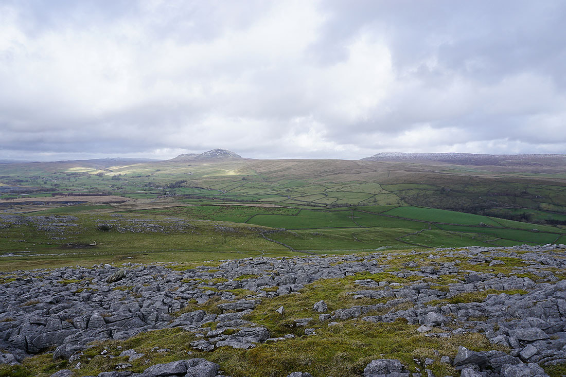
Ingleborough and Moughton from Smearsett Scar
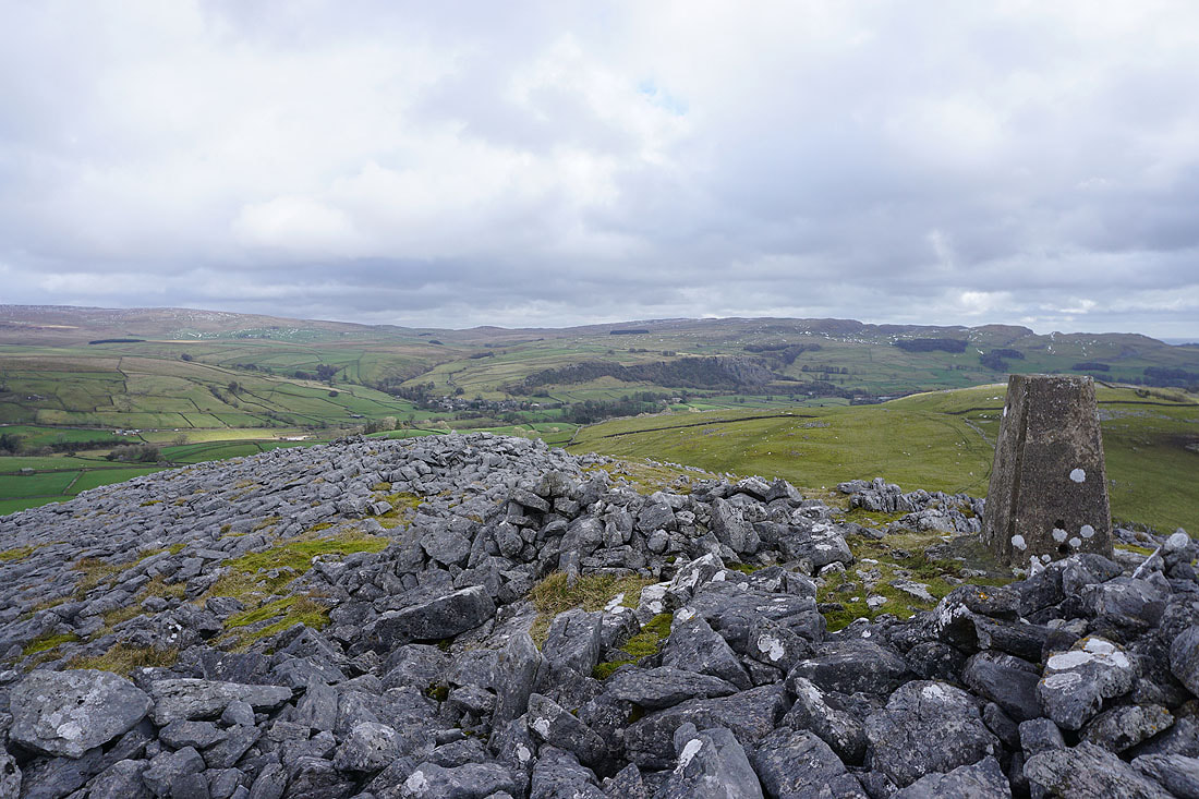
Looking across Ribblesdale to Stainforth
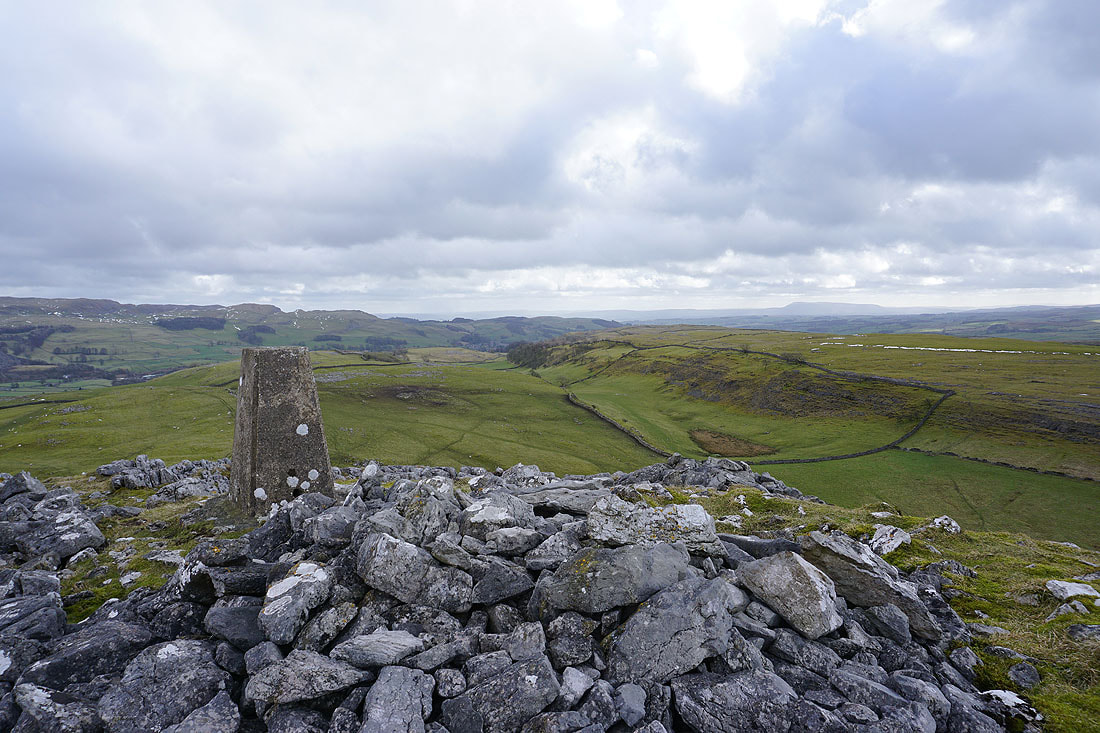
The hills above Langcliffe and Settle with Pendle Hill in the distance on the right
Ribblesdale, Penyghent and Fountains Fell
Ingleborough and Moughton as I make my way across to Pot Scar
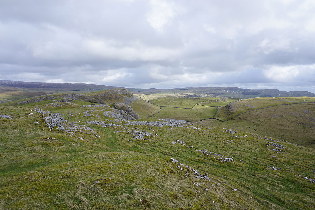
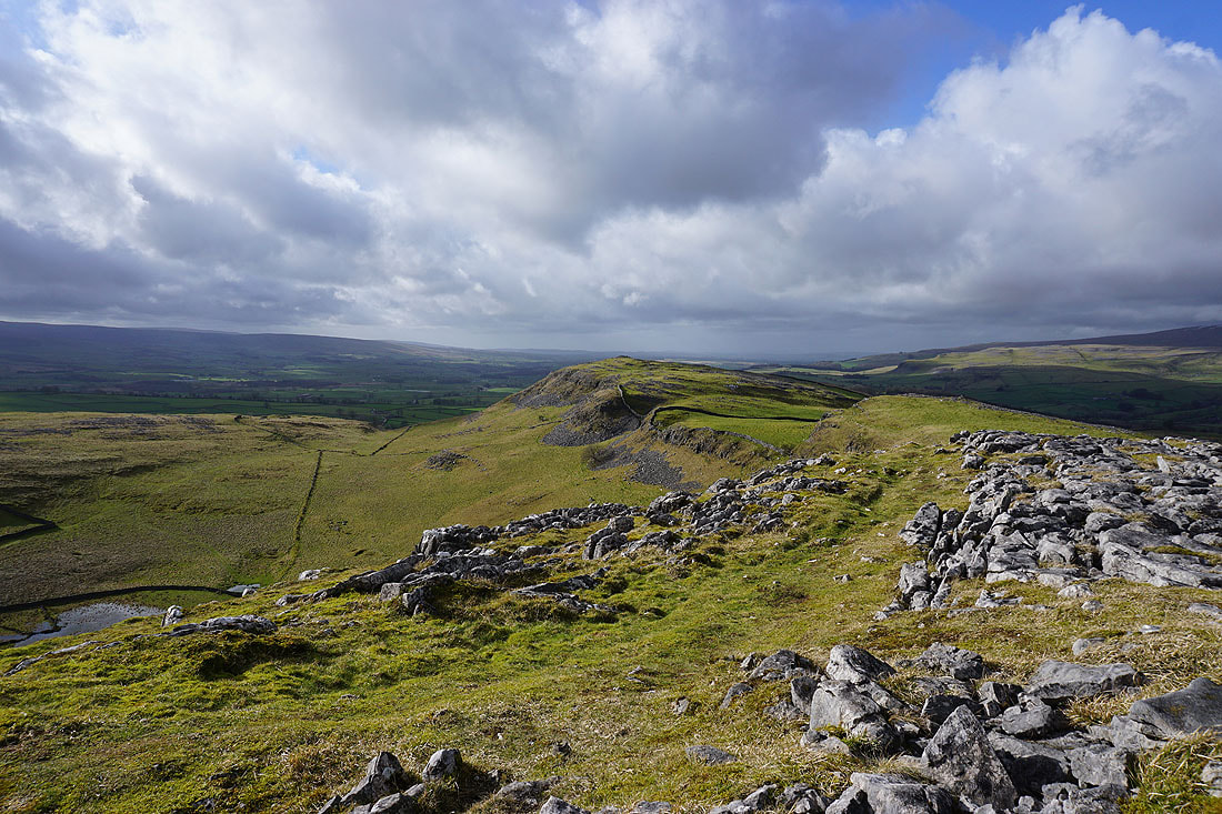
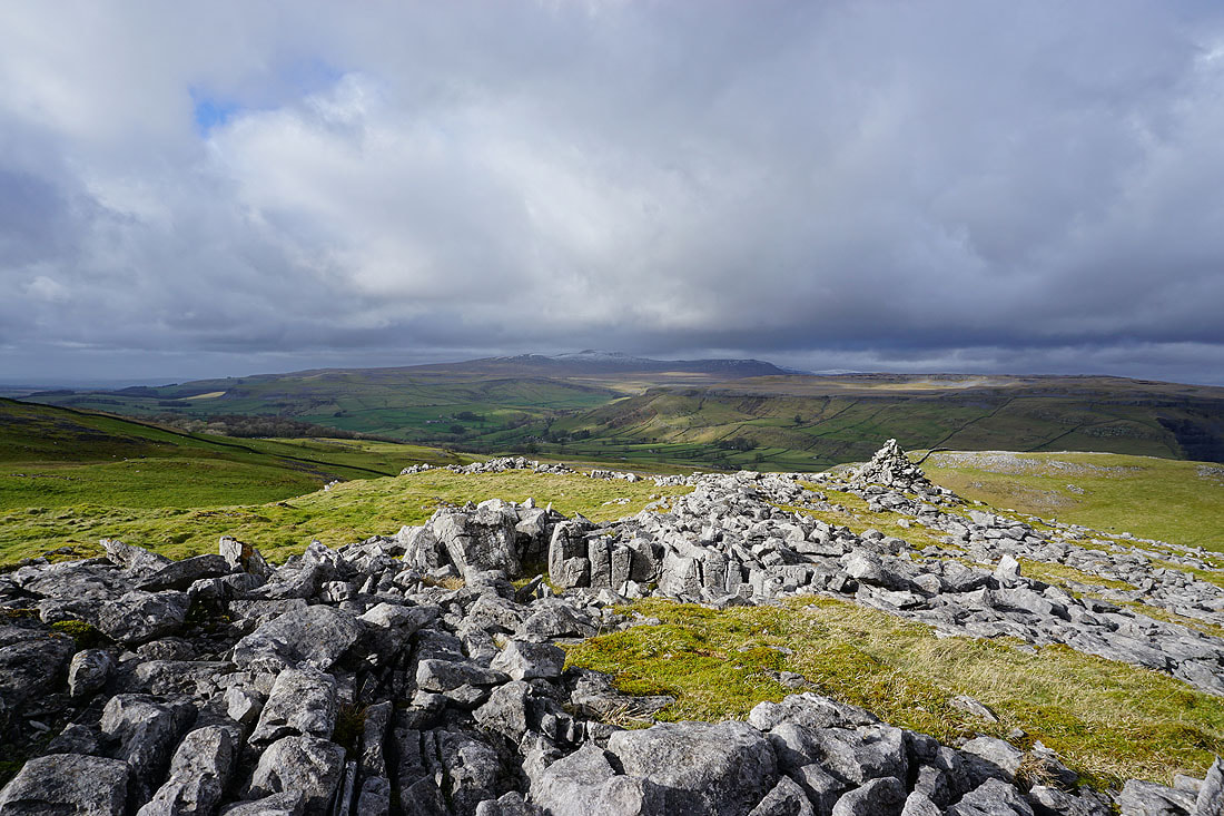
Looking back to Smearsett Scar from Pot Scar
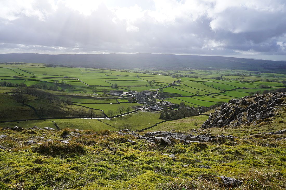
The hamlet of Feizor below
Penyghent and Fountains Fell
Heading down the bridleway to Feizor
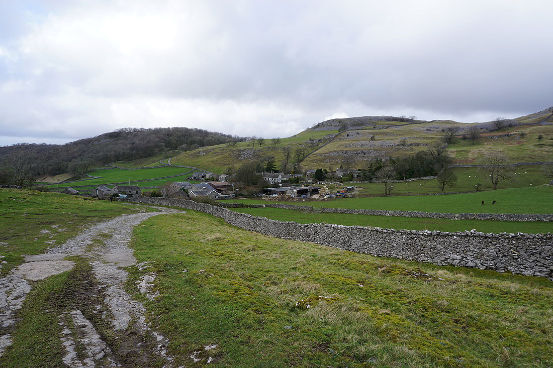
and leaving Feizor behind on the footpath to Stackhouse..

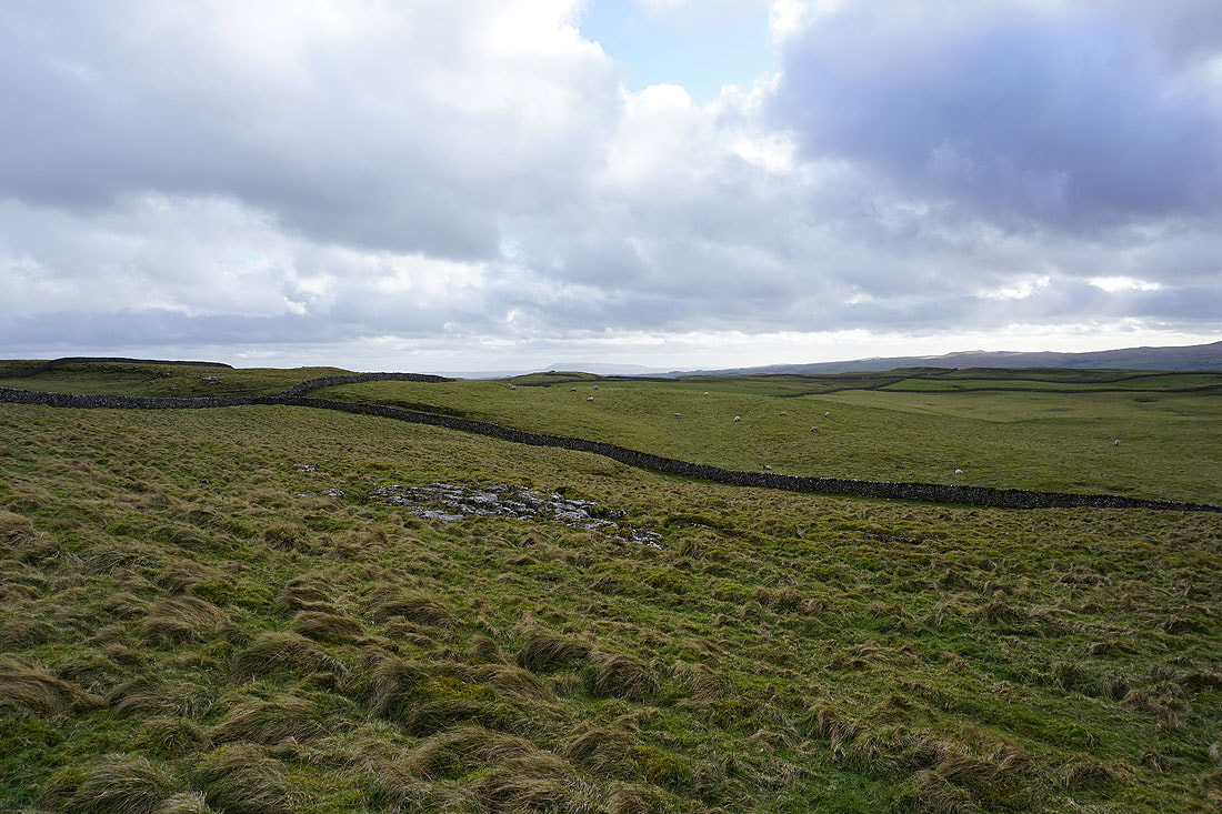
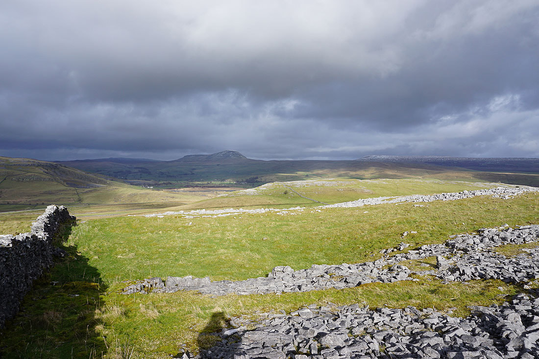
Pendle Hill in the distance beyond the nearby limestone moorland
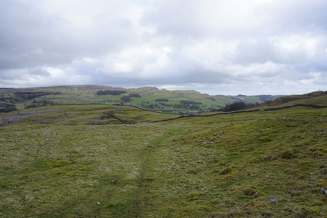
On my way down to Ribblesdale
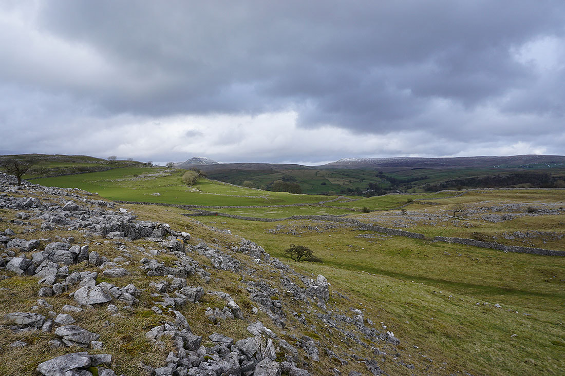
Penyghent and Fountains Fell
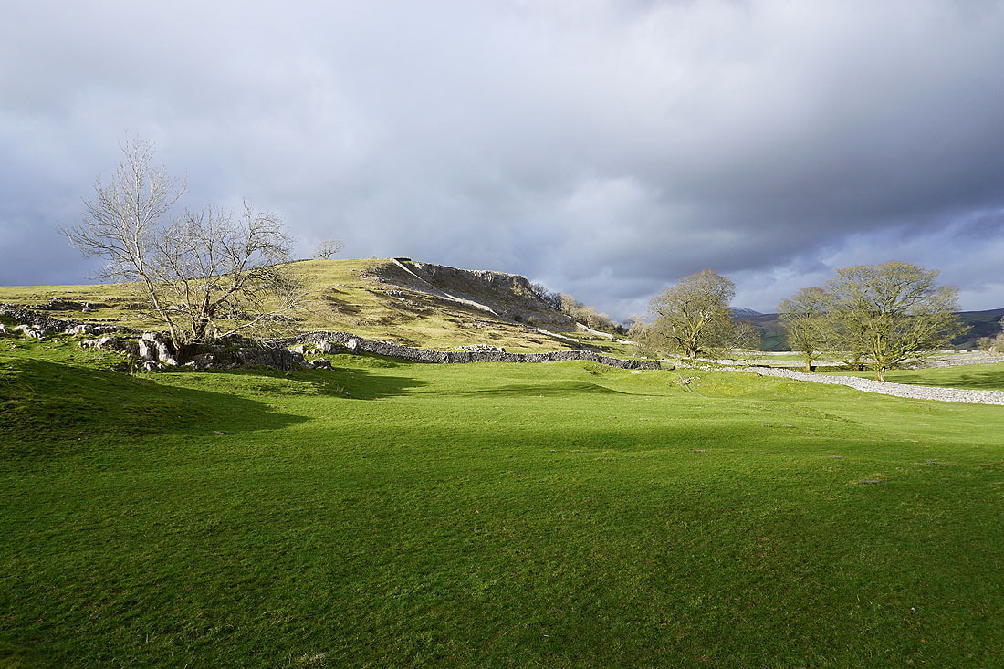
A sunlit Reinsber Scar
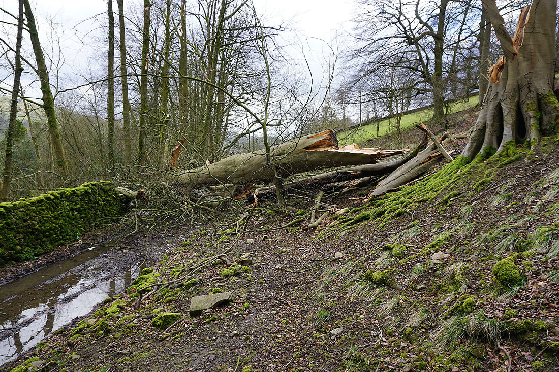
A fallen beech tree blocks the path above Stackhouse
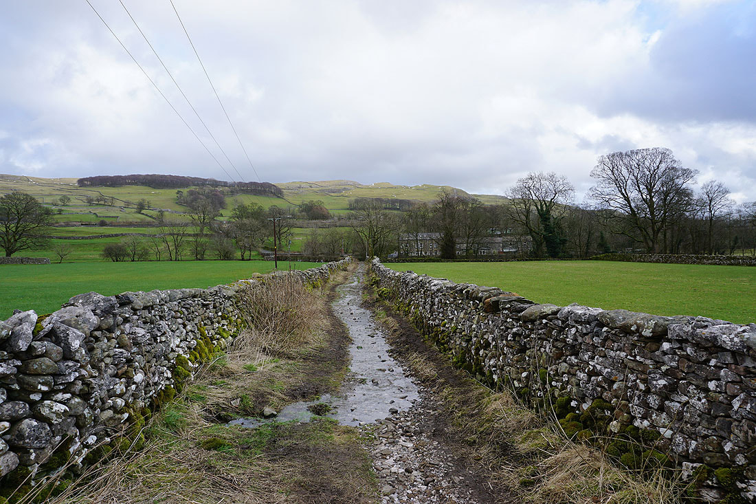
From Stackhouse I take the footpath down to the footbridge over the River Ribble
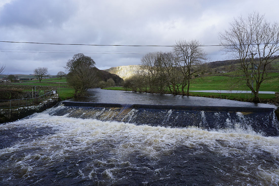
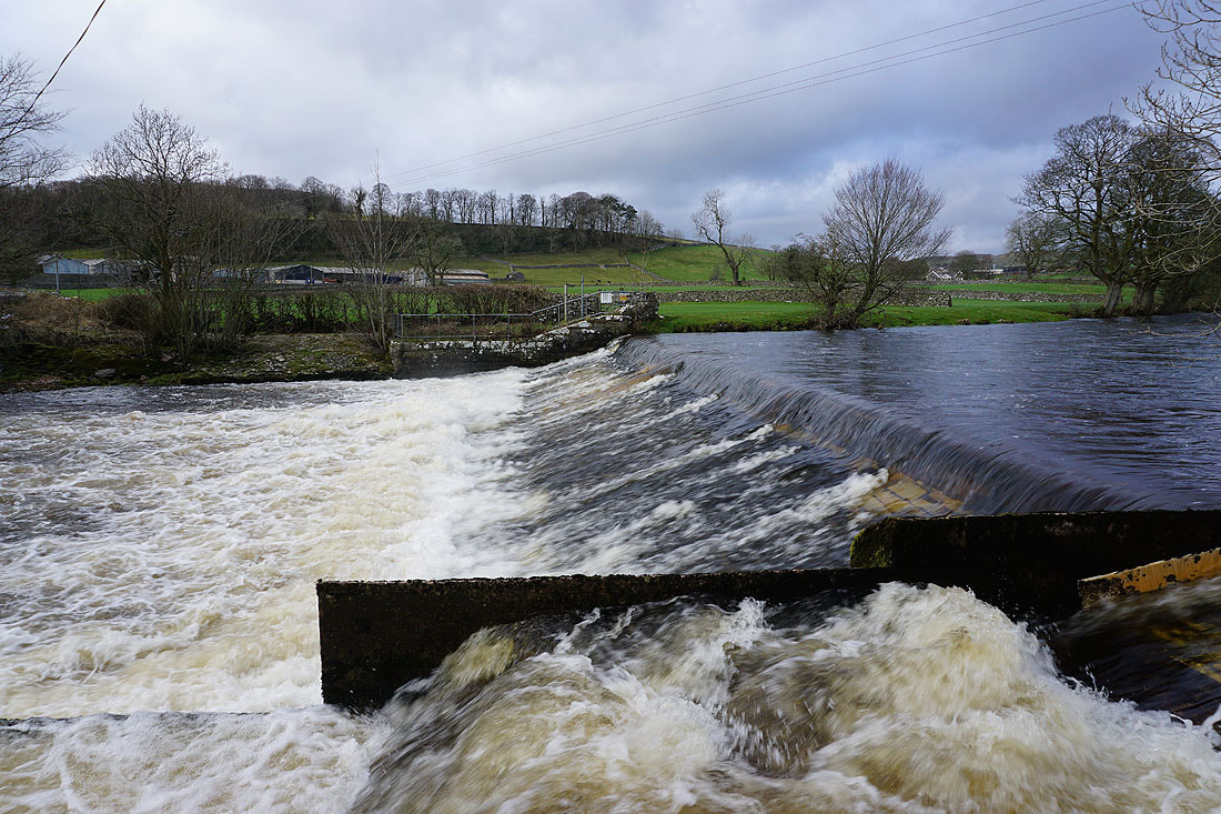
The weir on the Ribble below Stackhouse, with a sunlit Stainforth Scar in the distance..
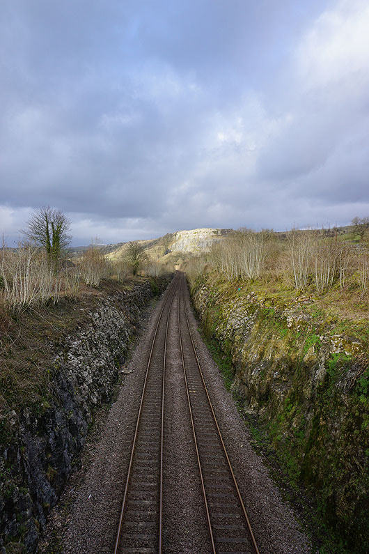
Back across the Settle to Carlisle line
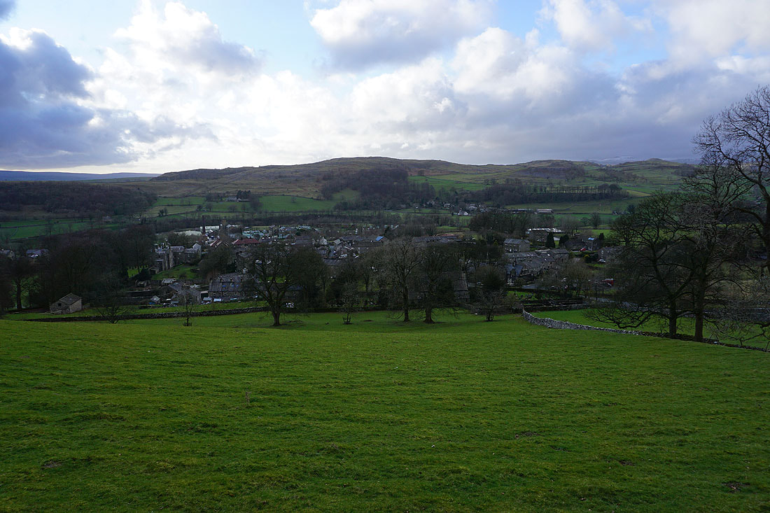
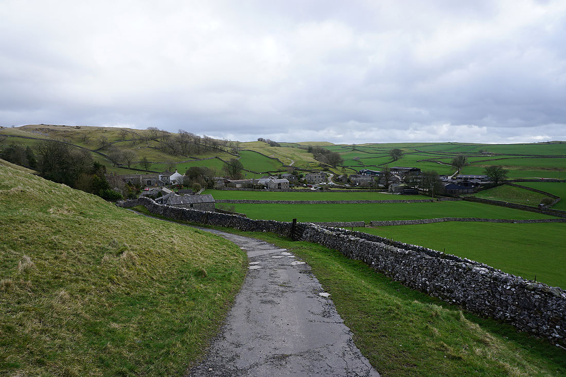
Langcliffe as I take the Pennine Bridleway back to Settle
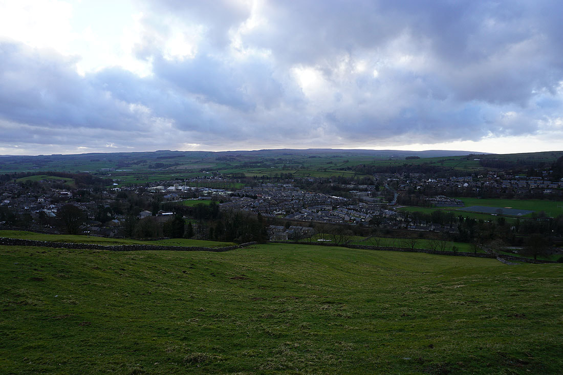
Back down to Settle