1st May 2011 - Whelp Stone Crag & Bowland Knotts
Walk Details
Distance walked: 10.8 miles
Total ascent: 1506 ft
OS map used: OL41 - Forest of Bowland & Ribblesdale
Time taken: 5.5 hrs
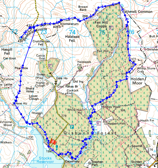
Route description: Car park by Stocks Reservoir in Gisburn Forest-Forest tracks-Bottoms Beck-Forest tracks-Whelp Stone Crag-Resting Stone-Knotteranum-Bowland Knotts-New House-Forest tracks-Car park by Stocks Reservoir in Gisburn Forest
A walk from the Stocks Reservoir car park through Gisburn Forest to Whelp Stone Crag. I then followed the boundary of the forest and then went up to Bowland Knotts. From there I made my way back down to Stocks Reservoir.
Route map
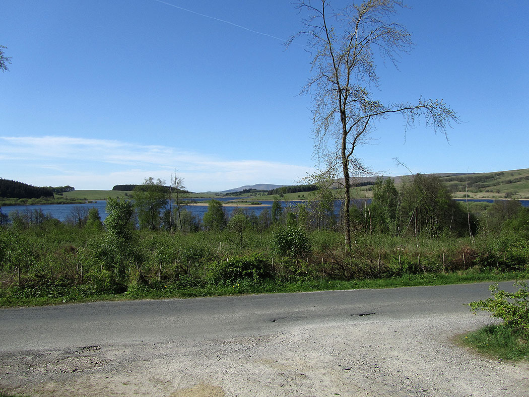
Stocks Reservoir as I make my way into the forest
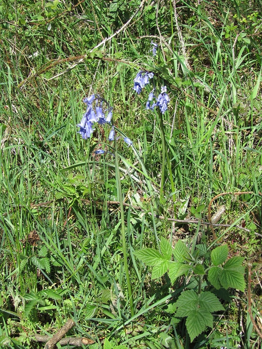
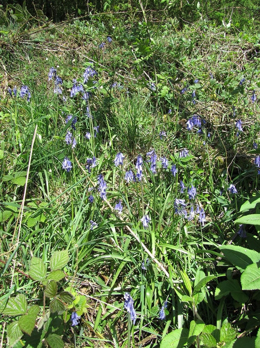
A couple of shots of bluebells by the track through the forest..
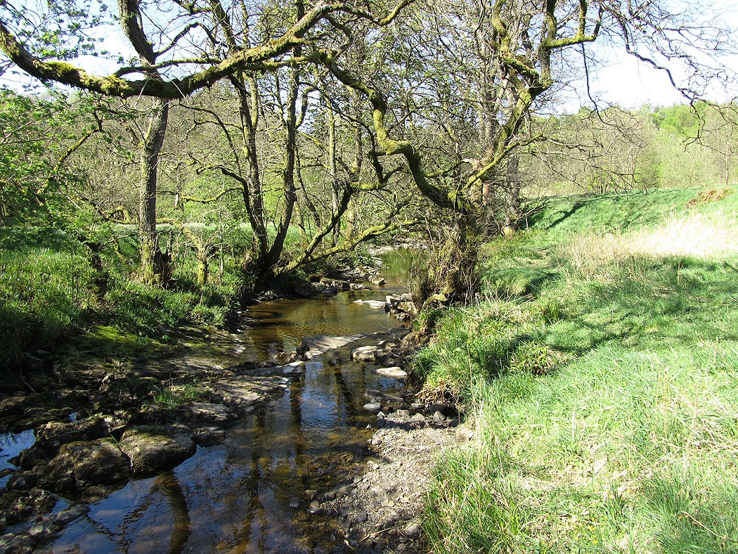
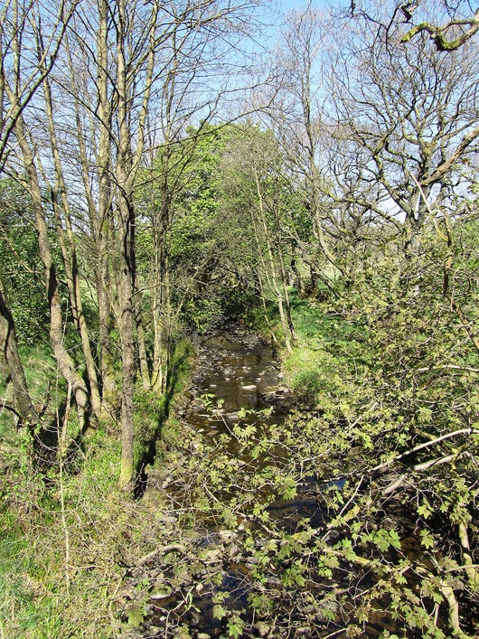
Bottoms Beck..
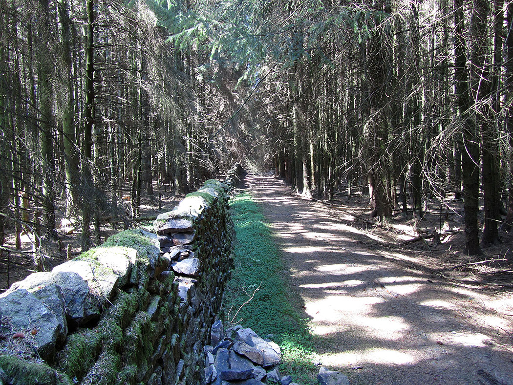
A forest track. If you like mountain biking there's lots to choose from in Gisburn Forest. The Forestry Commission have laid out lots of routes of different grades. The track I'm on here had ramps on it.
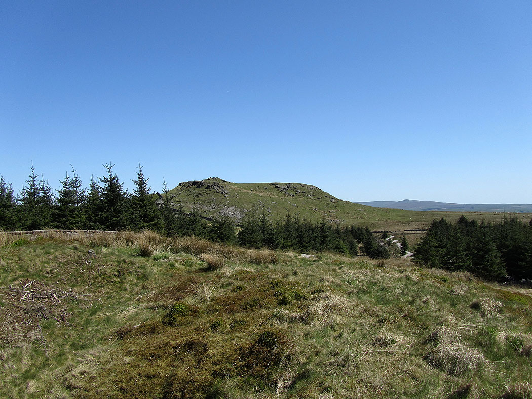
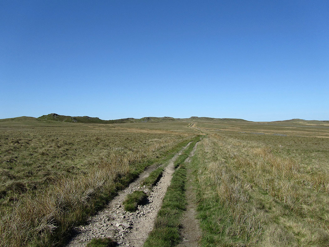
My first sight of Whelp Stone Crag
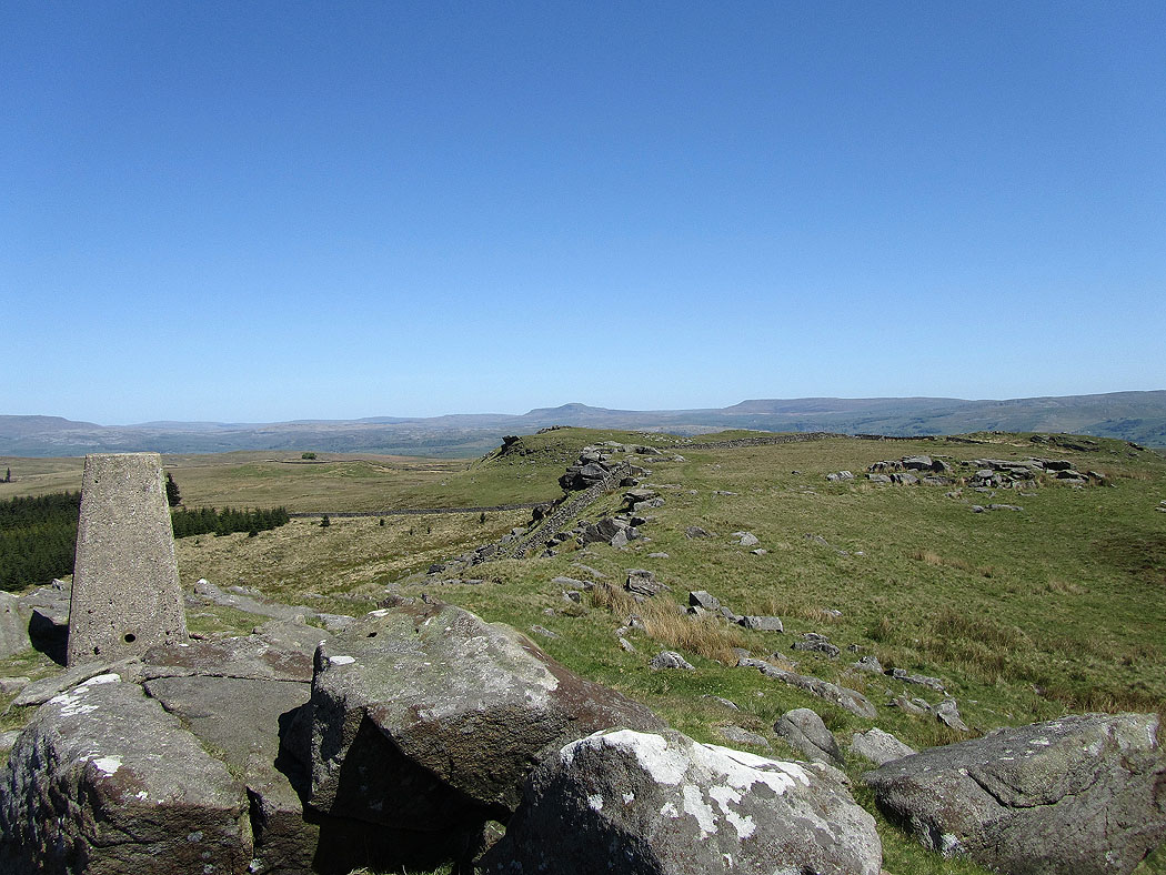
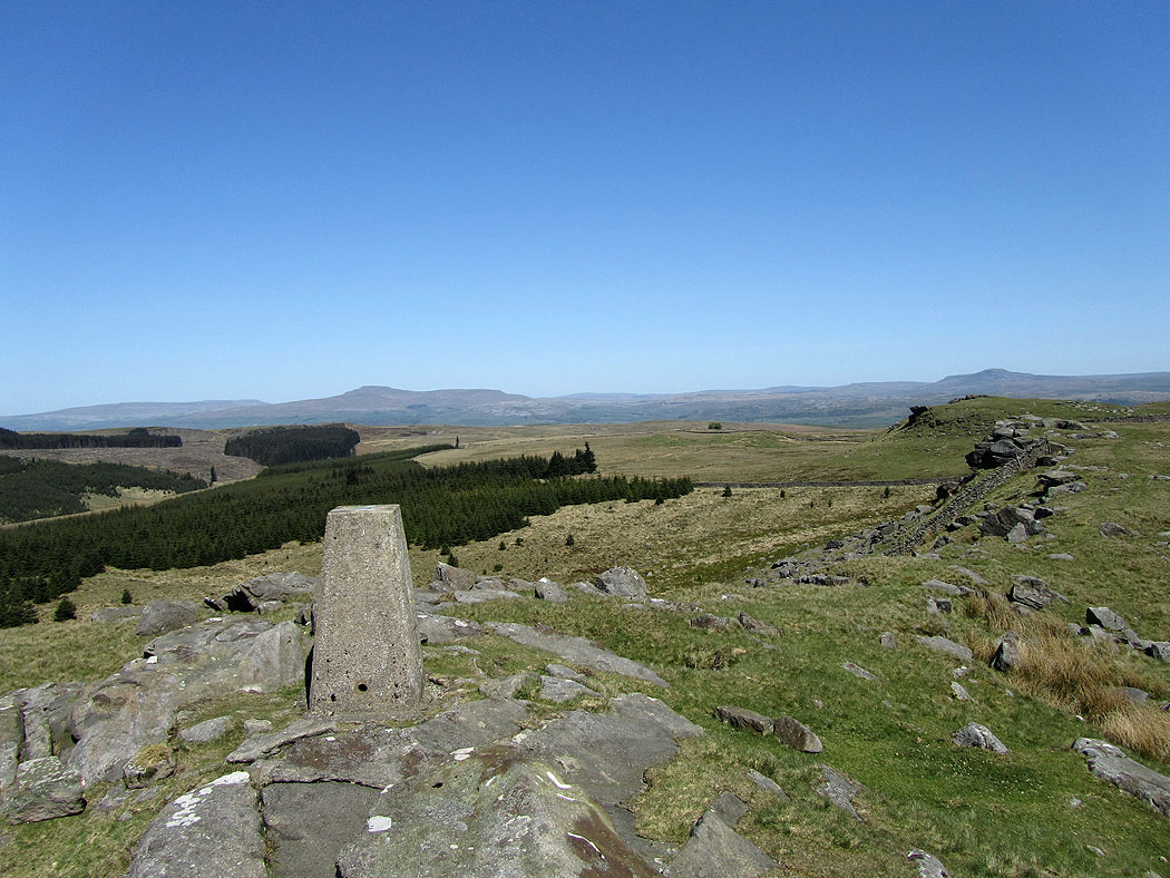
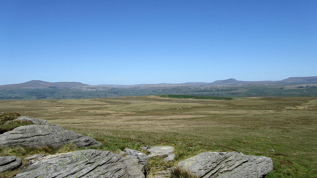
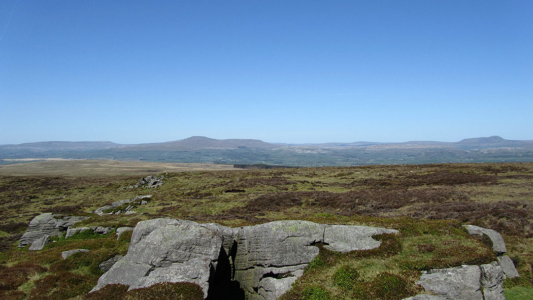
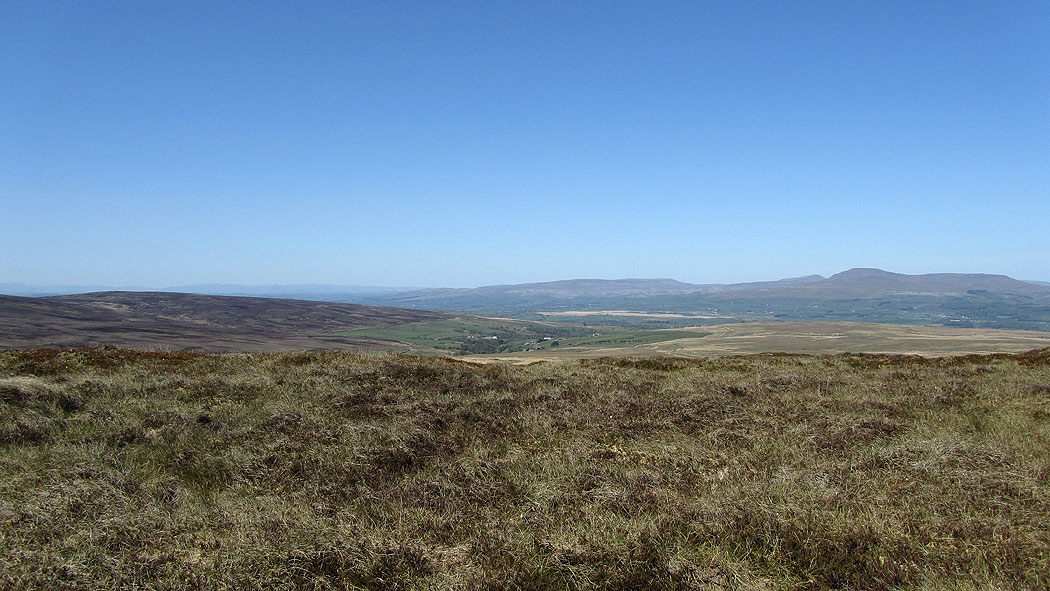
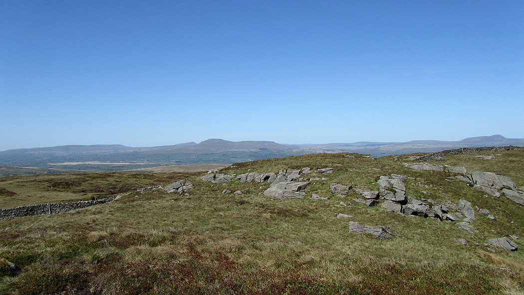
On Whelp Stone Crag. Penyghent in the distance in the middle of the picture. It was really windy up here and hard work trying to stand still to take pictures.
Ingleborough and Penyghent
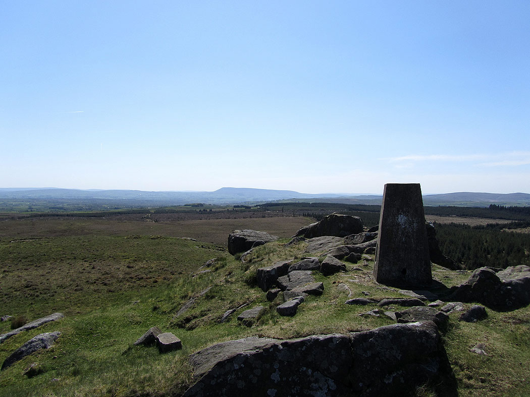
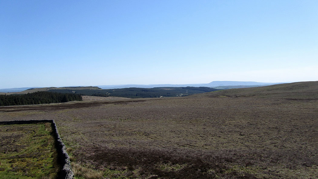
Pendle Hill in the distance
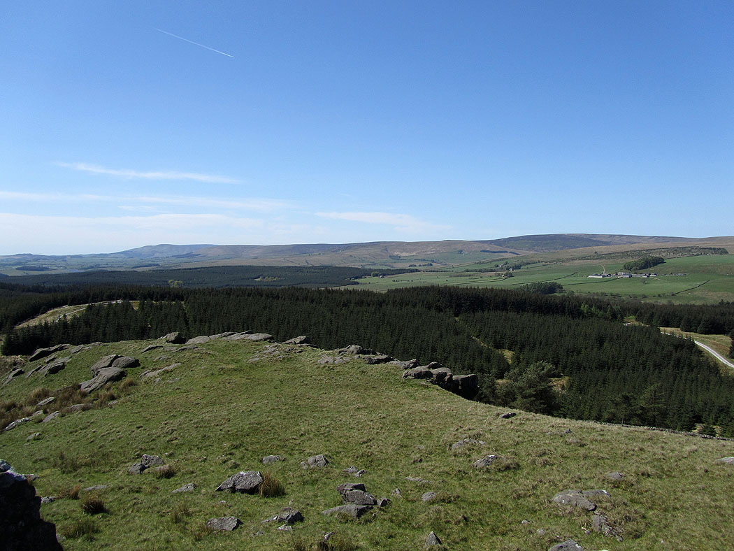
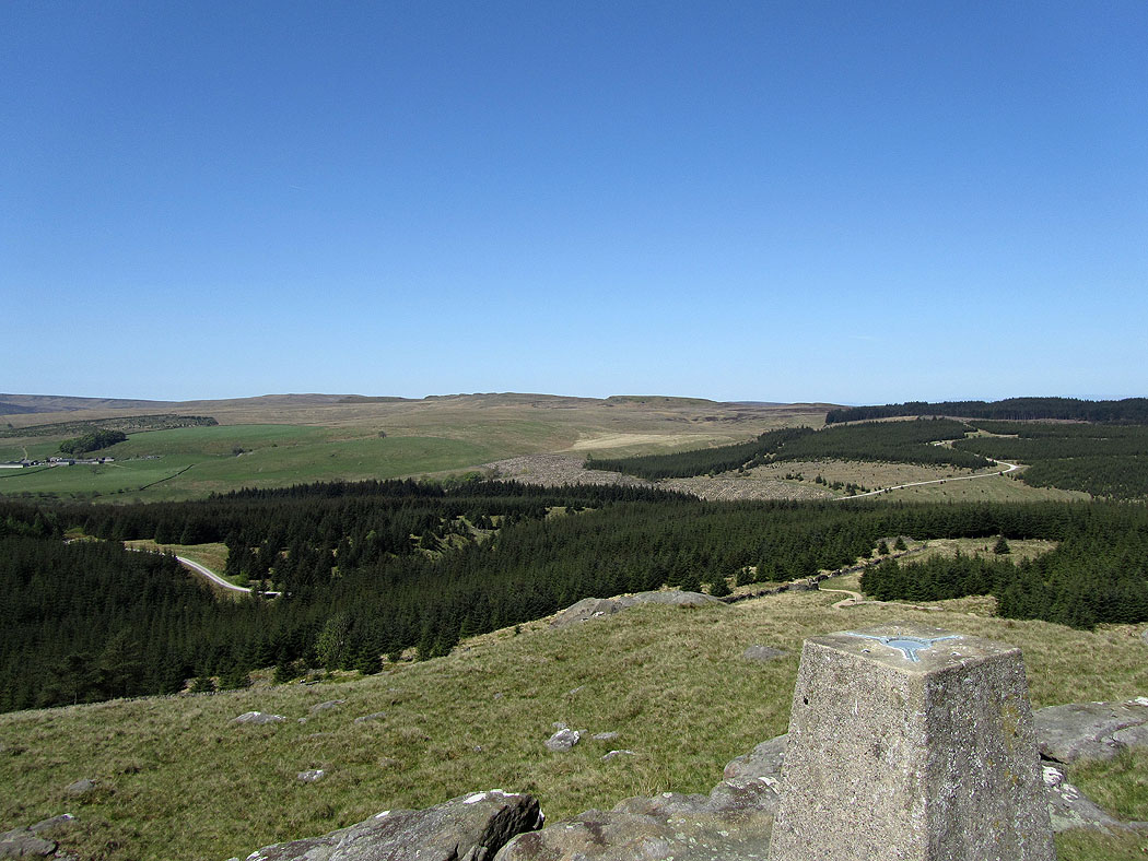
Gisburn Forest
I'll be walking the skyline later
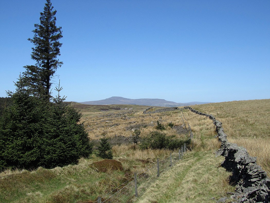
Ingleborough as I follow the forest boundary north
My next port of call is the high point in the middle of the picture called Resting Stone
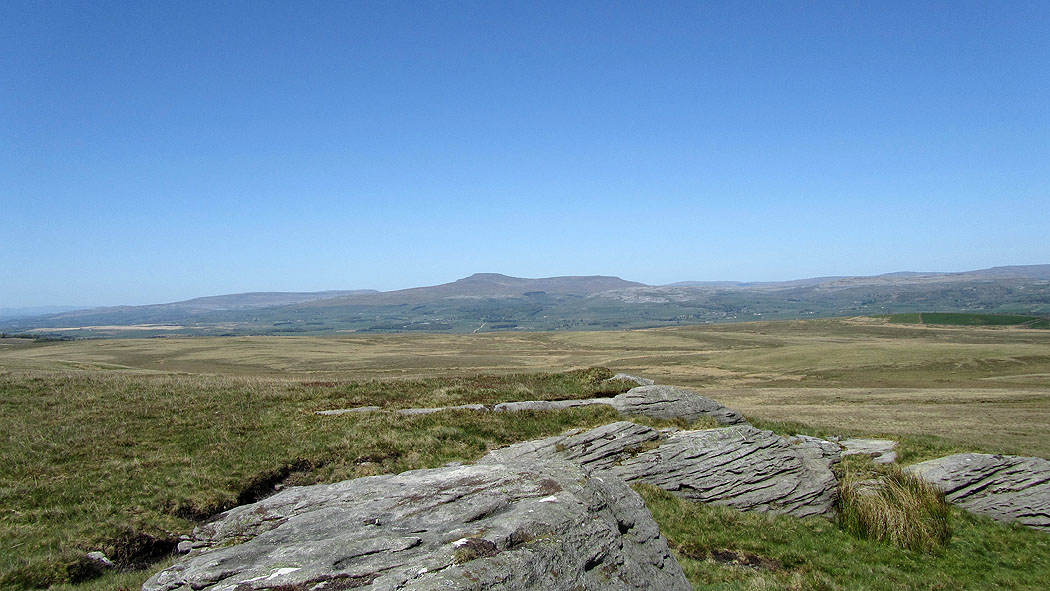
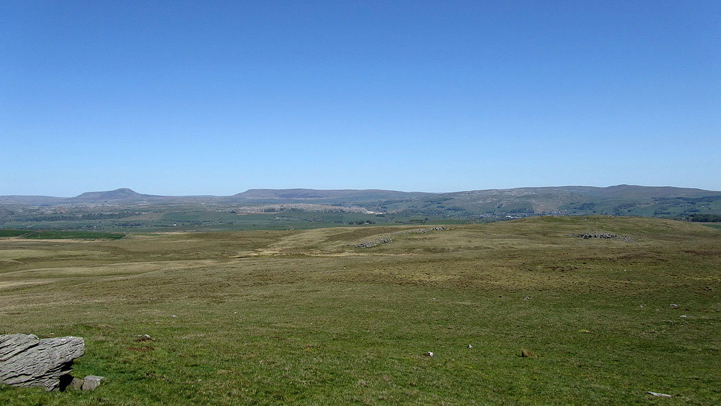
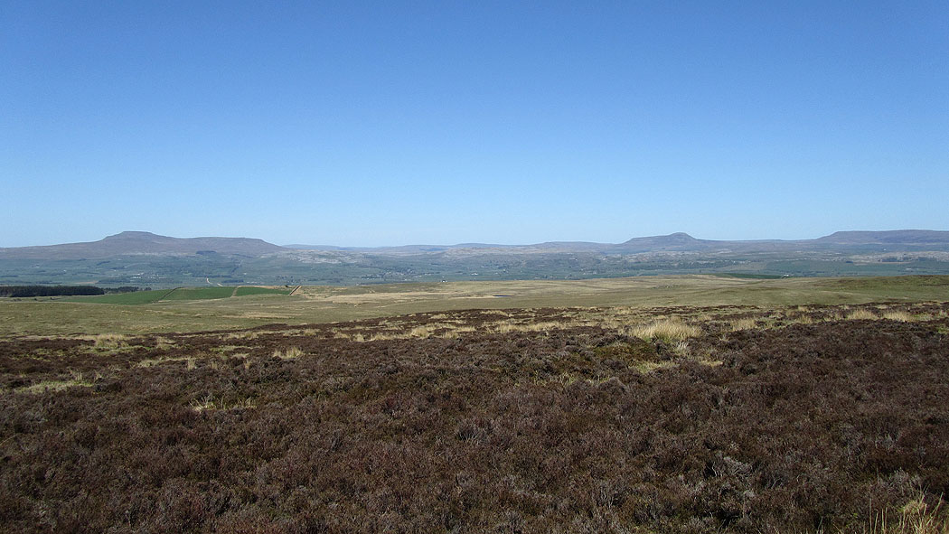
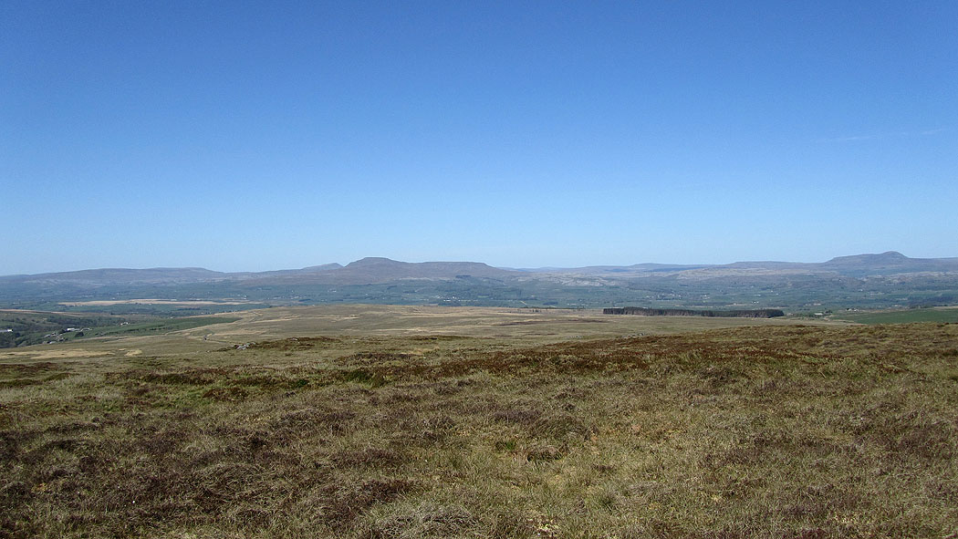
Views across to the Yorkshire Dales from Resting Stone...
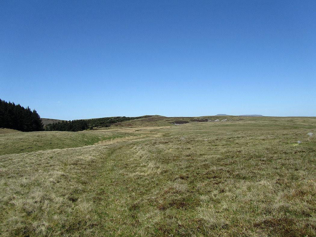
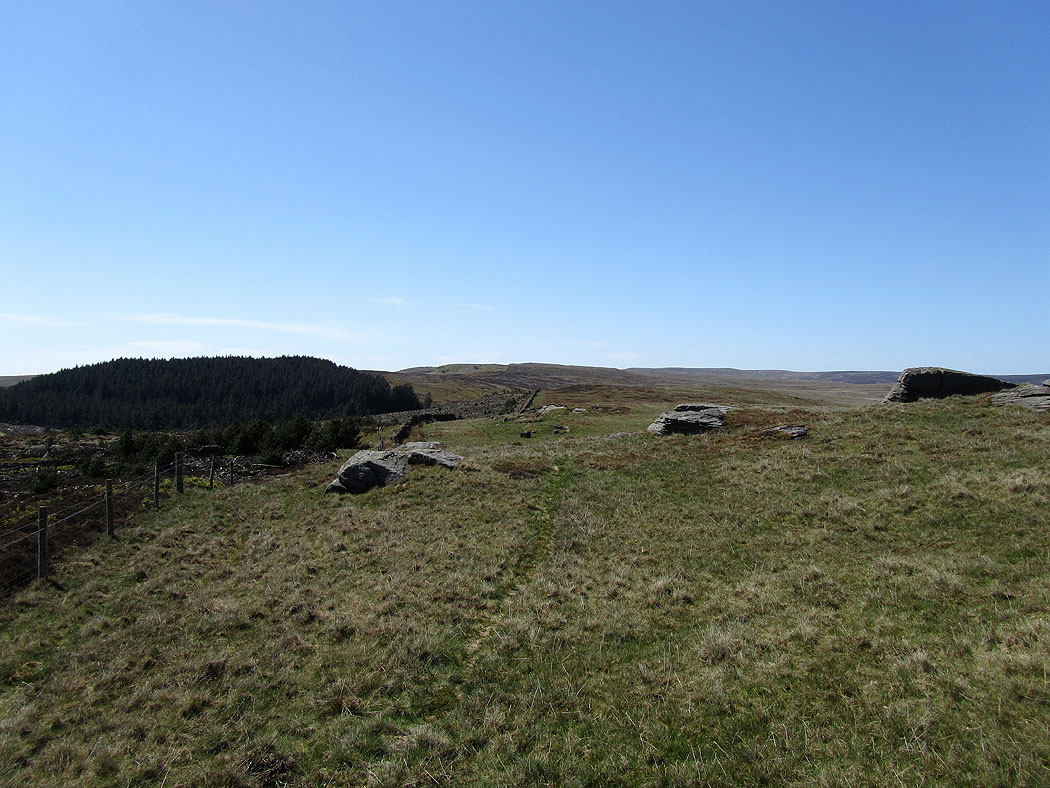
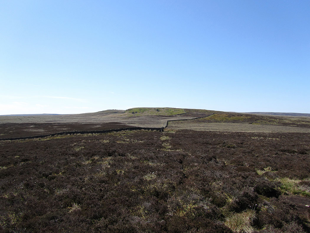
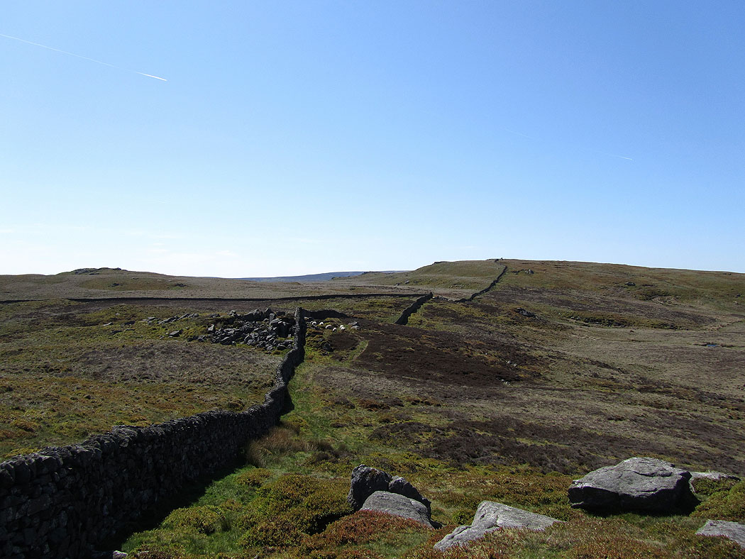
The route ahead towards Bowland Knotts
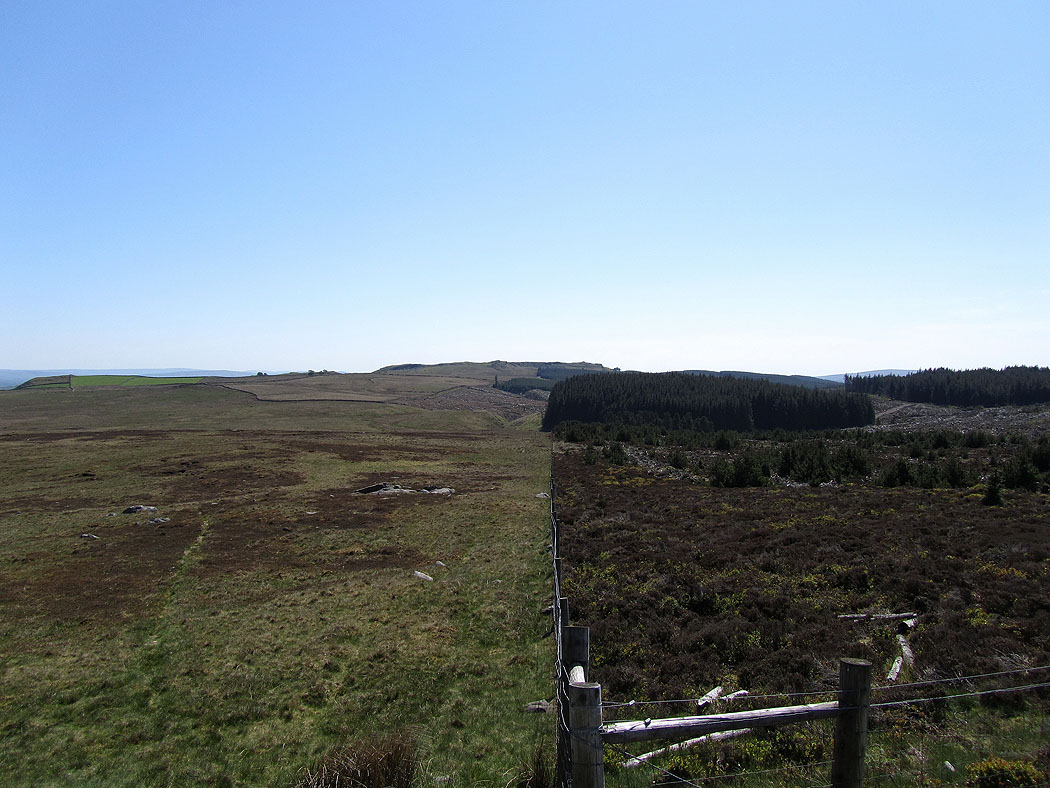
Looking back along the forest boundary to Whelp Stone Crag
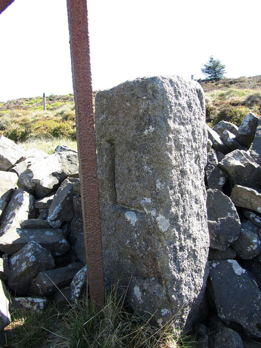
A boundary stone. L for Lawkland and on the other side E for Easington.
Heading for Bowland Knotts
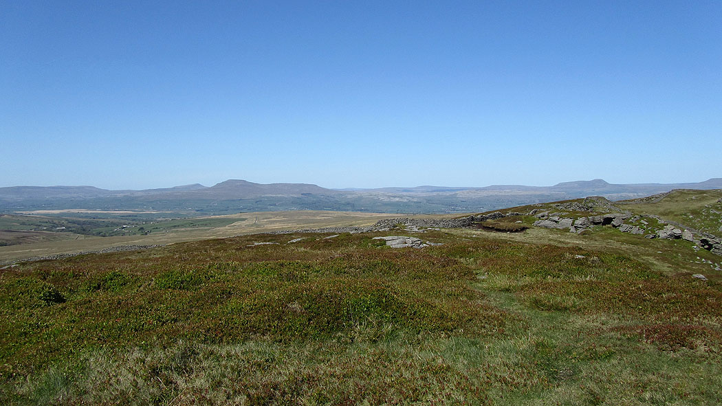
Ingleborough, Penyghent and Fountains Fell
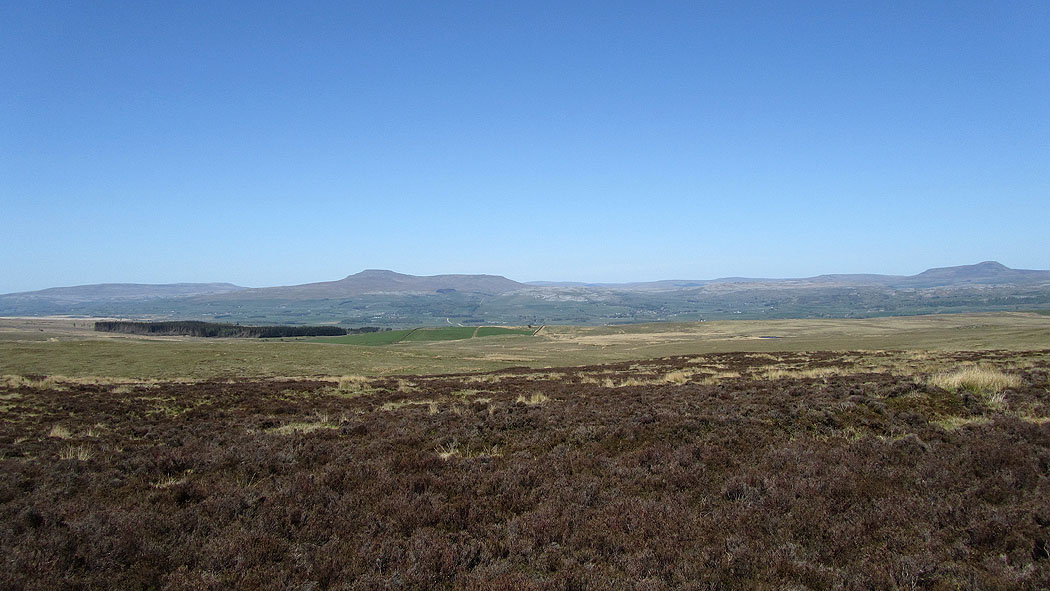
Gragareth, Ingleborough and Penyghent
Whelp Stone Crag above Gisburn Forest and Pendle Hill to the right
Gragareth, Ingleborough and Penyghent from the imaginatively named Knotteranum
Next stop Bowland Knotts
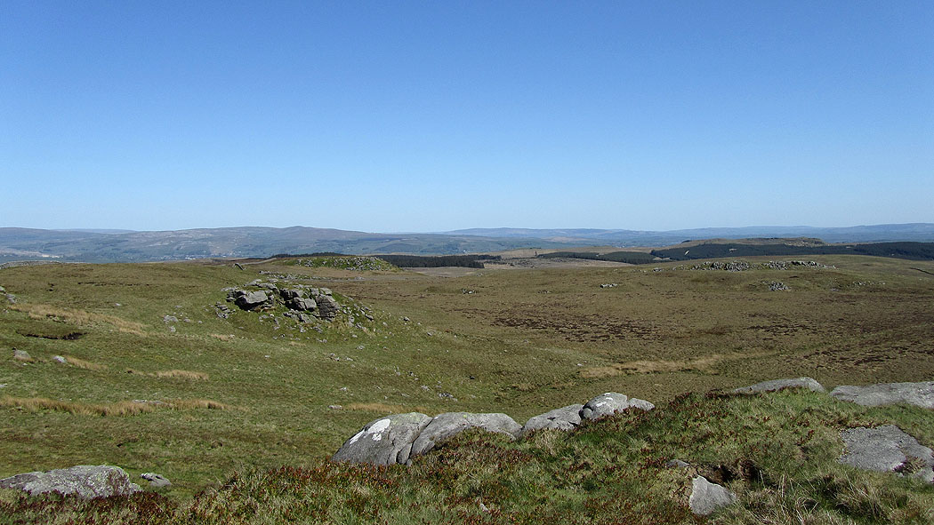
Lots of pictures of the views from Bowland Knotts. Whernside is now in view just to the left of Ingleborough.
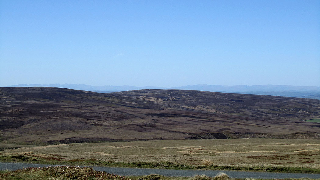
The blue mountains of the Lake District in the distance
Looking back to Gisburn Forest and Whelp Stone Crag
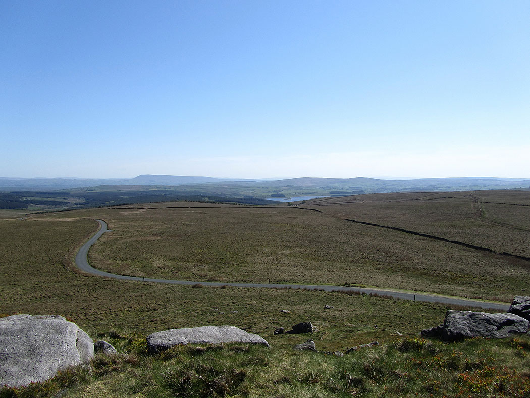
The road below heads down to Stocks Reservoir
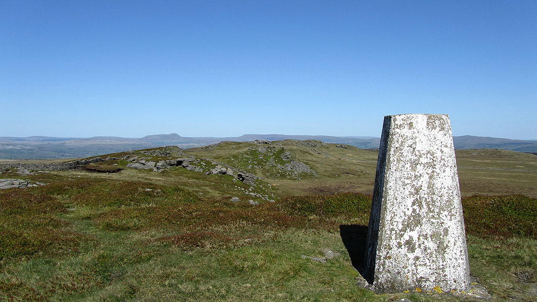
At the trig point on Bowland Knotts
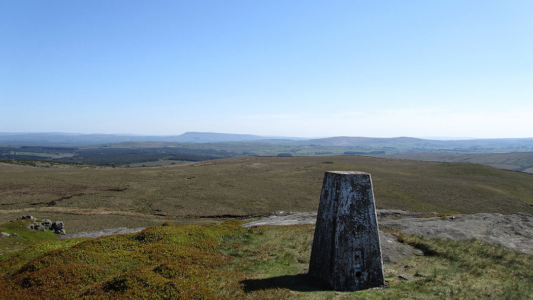
Pendle Hill and Easington Fell from Bowland Knotts
Bowland Knotts as I follow the track downhill
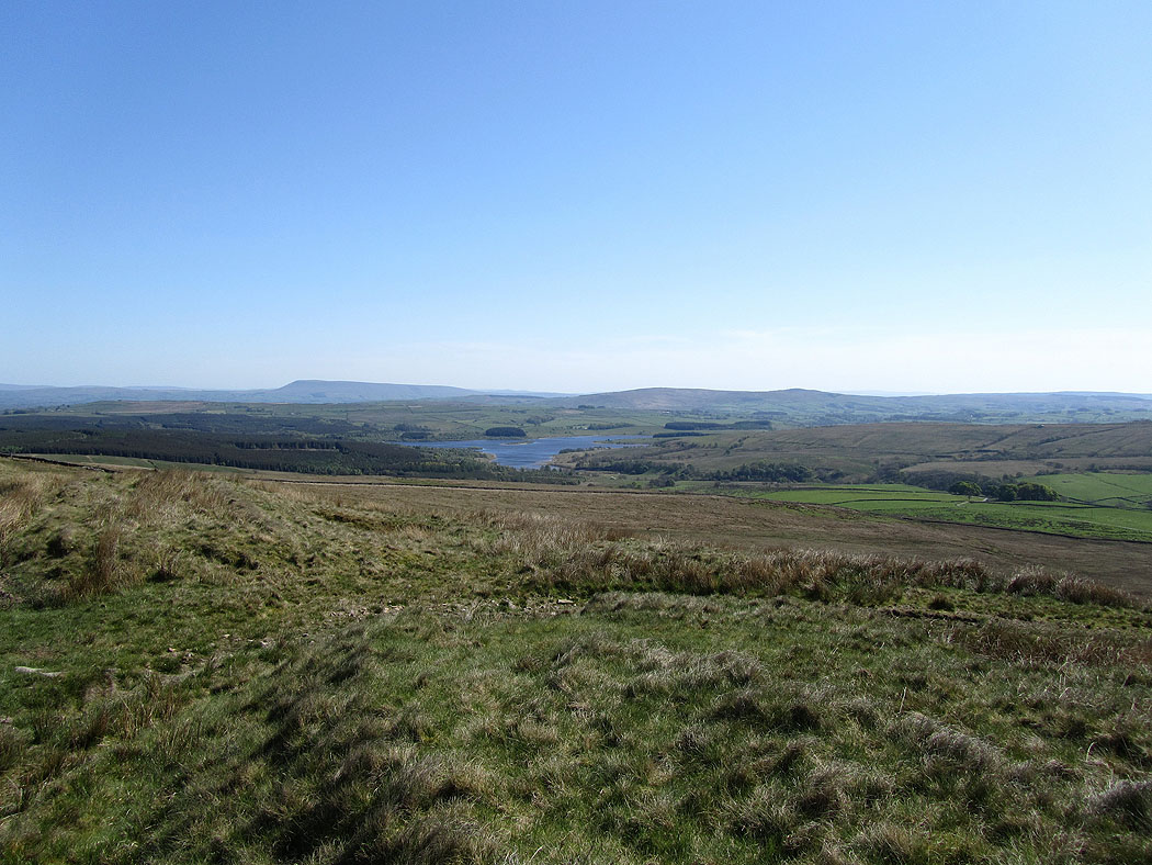
Pendle Hill and Stocks Reservoir
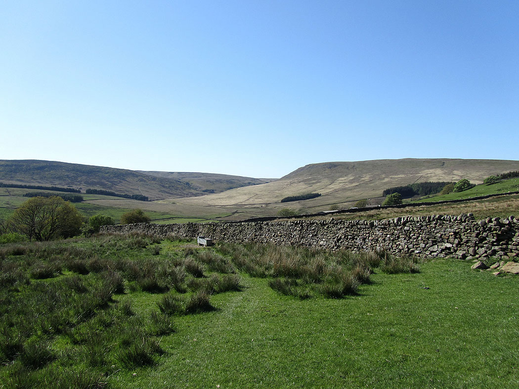
White Hill and Catlow Fell
Hasgill Beck on the way back to the car park
