1st May 2015 - River Brock bluebells
Walk Details
Distance walked: 7.8 miles
Total ascent: 1035 ft
OS map used: OL41 - Forest of Bowland & Ribblesdale
Time taken: 5.5 hrs
Route description: Bowland Visitor Centre, Beacon Fell-Salisbury House-Bleasdale Road-Stanalee Lane-Walmsley Bridge Road-Walmsley Bridge-River Brock-Brock Bottom-Higher Brock Bridge-Brockmill-Snape Rake Lane-Boggy Wood-Gill Barn Wood-Wickens Barn-Oakenclough Road-Heatherway Farm-Beacon Fell Road-Beacon Fell-Bowland Visitor Centre, Beacon Fell
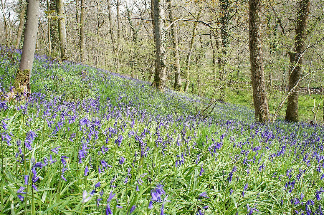
There are a couple of times during the year where I look forward to the displays that nature puts on. Bluebells in the spring and heather in late summer. During the past few years I've made it a point to find out about and visit the best places for bluebells near where I live. Those by the River Brock near Beacon Fell that I saw for the first time last year are among the best and today I had good weather to enjoy seeing them.
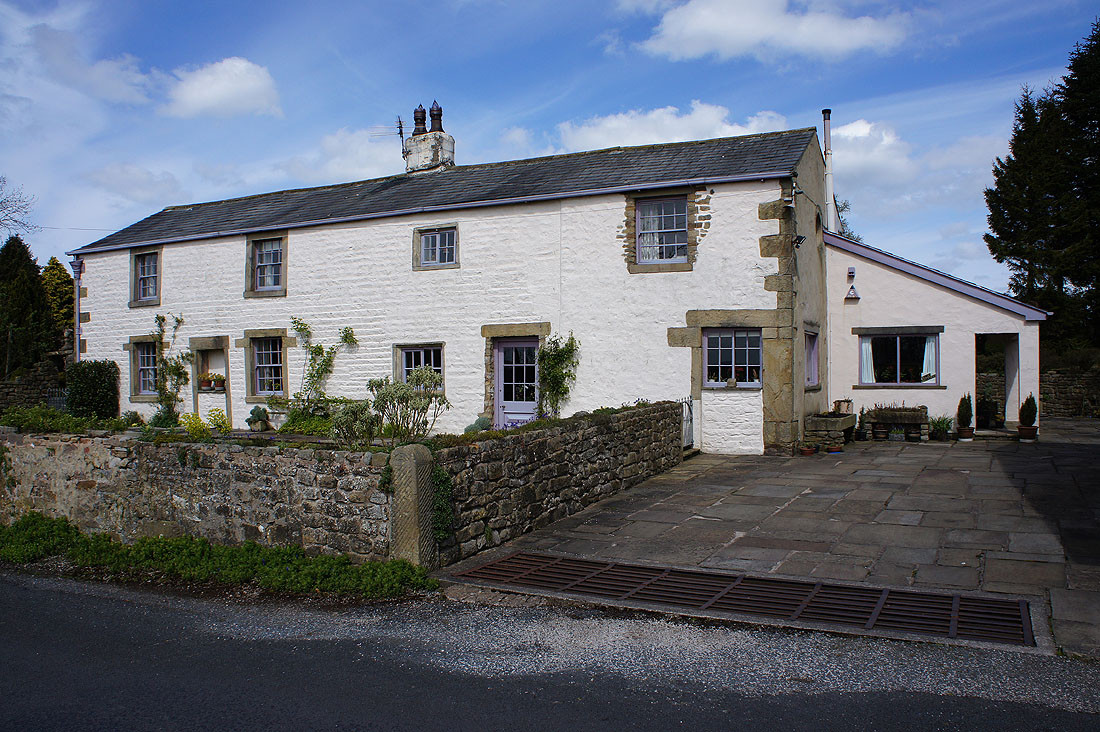
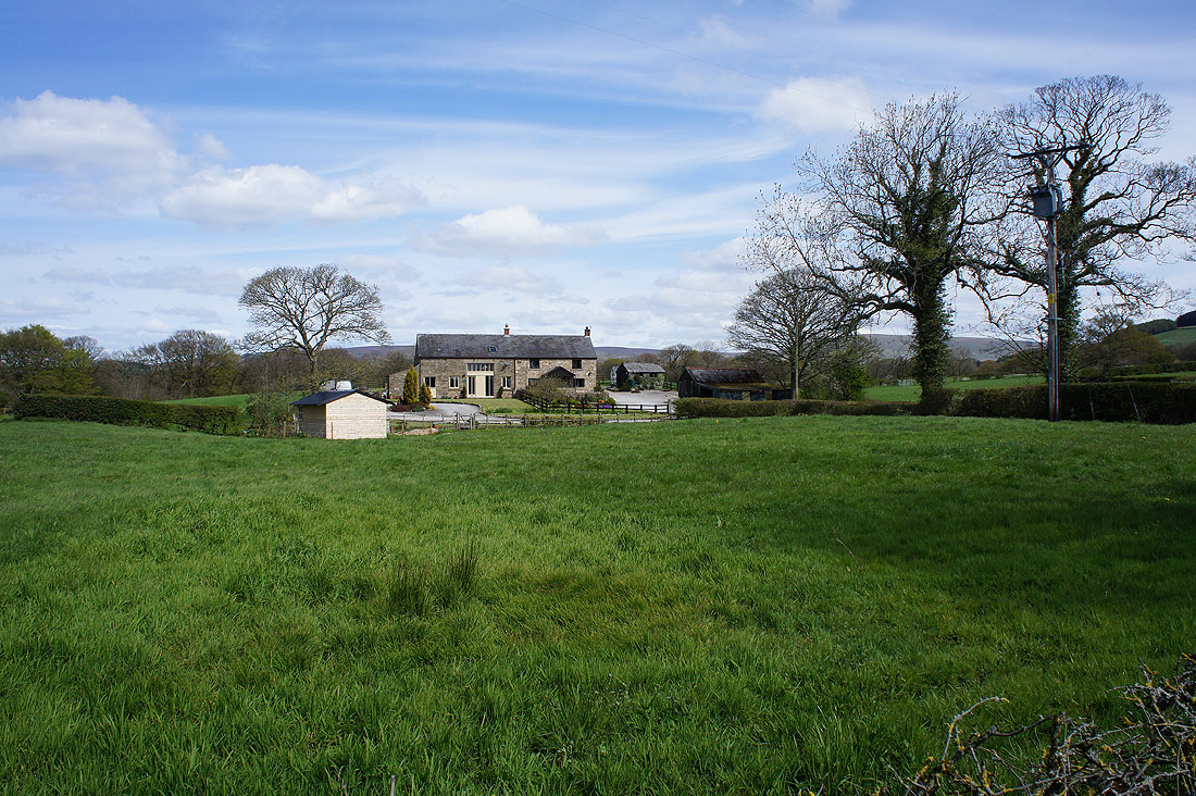
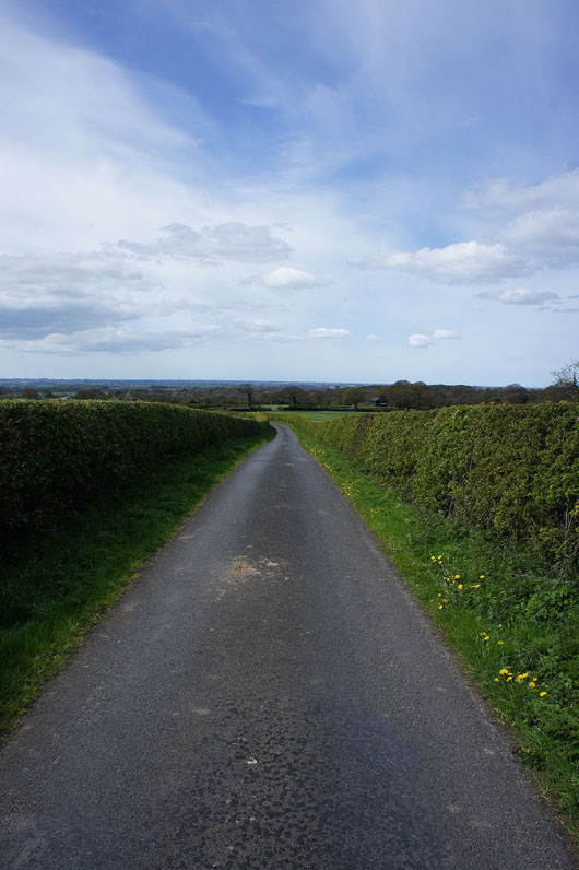
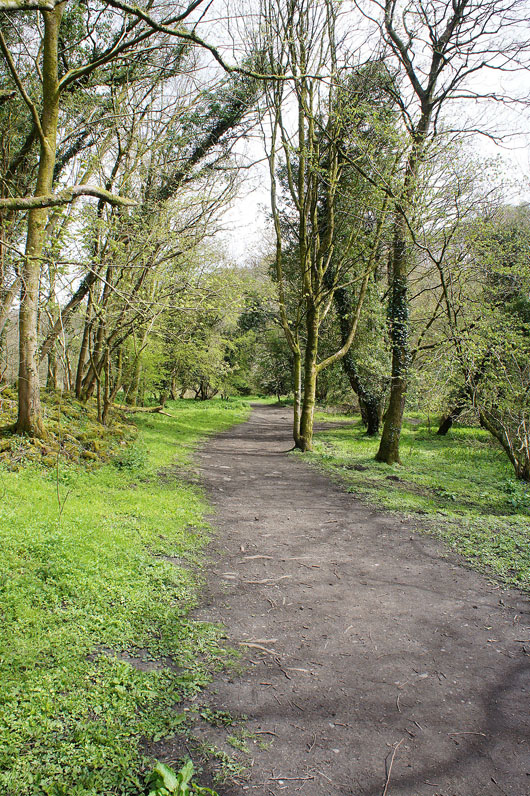
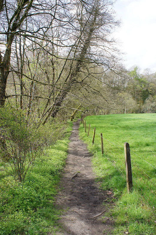
I started my walk from the Bowland Visitor Centre car park on Beacon Fell. From there I took the public footpath downhill to Salisbury House and out to Bleasdale Road. I turned left for a bit of a road walk along Bleasdale Road, Stanalee Lane and Walmsley Bridge Road to Walmsley Bridge. The best part of the walk came next, along the path by the River Brock that follows it upstream to the picnic site at Higher Brock Bridge. After taking a break here I crossed the road to continue with the path by the river past Brockmill to reach the footbridge at Snape Rake Lane. The river was temporarily left behind here as I followed Snape Rake Lane uphill. Not long after the lane became tarmacked I left it for a bridleway that heads back down to the River Brock. This was my final walk by the river, when the path reached the footbridge where the river divides I took the right-hand branch and the path up through Gill Barn Wood to the fields above. This path then brought me to Oakenclough Road at Wickens Barn. After a brief walk up Oakenclough Road I took the footpath past Sagar's Farm and Heatherway to Beacon Fell Road, then across the road and up to the trig point on the summit of Beacon Fell. A few minutes later and I was back in the car park.
Total ascent: 1035 ft
OS map used: OL41 - Forest of Bowland & Ribblesdale
Time taken: 5.5 hrs
Route description: Bowland Visitor Centre, Beacon Fell-Salisbury House-Bleasdale Road-Stanalee Lane-Walmsley Bridge Road-Walmsley Bridge-River Brock-Brock Bottom-Higher Brock Bridge-Brockmill-Snape Rake Lane-Boggy Wood-Gill Barn Wood-Wickens Barn-Oakenclough Road-Heatherway Farm-Beacon Fell Road-Beacon Fell-Bowland Visitor Centre, Beacon Fell
There are a couple of times during the year where I look forward to the displays that nature puts on. Bluebells in the spring and heather in late summer. During the past few years I've made it a point to find out about and visit the best places for bluebells near where I live. Those by the River Brock near Beacon Fell that I saw for the first time last year are among the best and today I had good weather to enjoy seeing them.
I started my walk from the Bowland Visitor Centre car park on Beacon Fell. From there I took the public footpath downhill to Salisbury House and out to Bleasdale Road. I turned left for a bit of a road walk along Bleasdale Road, Stanalee Lane and Walmsley Bridge Road to Walmsley Bridge. The best part of the walk came next, along the path by the River Brock that follows it upstream to the picnic site at Higher Brock Bridge. After taking a break here I crossed the road to continue with the path by the river past Brockmill to reach the footbridge at Snape Rake Lane. The river was temporarily left behind here as I followed Snape Rake Lane uphill. Not long after the lane became tarmacked I left it for a bridleway that heads back down to the River Brock. This was my final walk by the river, when the path reached the footbridge where the river divides I took the right-hand branch and the path up through Gill Barn Wood to the fields above. This path then brought me to Oakenclough Road at Wickens Barn. After a brief walk up Oakenclough Road I took the footpath past Sagar's Farm and Heatherway to Beacon Fell Road, then across the road and up to the trig point on the summit of Beacon Fell. A few minutes later and I was back in the car park.
Route map
© Crown copyright. All rights reserved. License number PU 100034184.
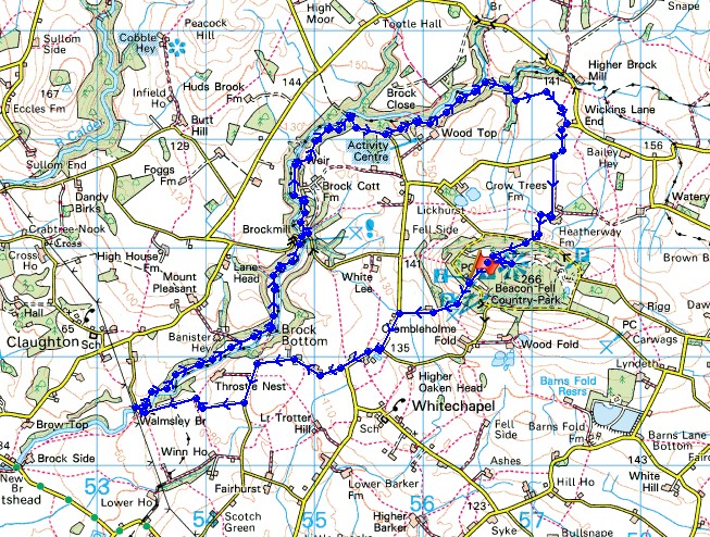
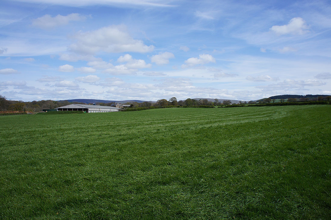
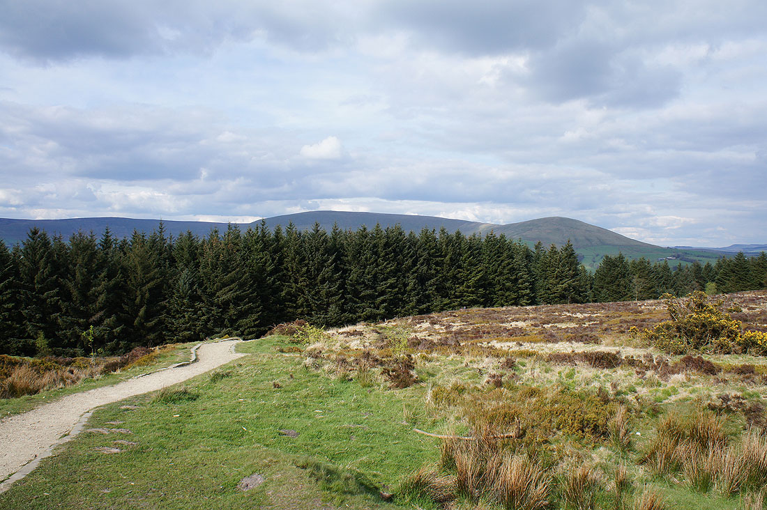
There's a view across the Lancashire countryside to the Flyde coast as I leave the car park
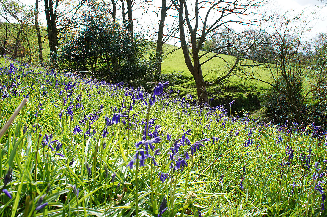
A small patch of woodland above Salisbury House has the first bluebells of the day
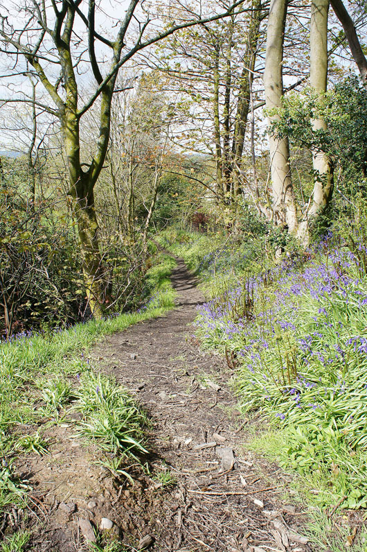
The path through the wood will take me to the drive of Salisbury House and out to Bleasdale Road
I now have a road walk to reach Walmsley Bridge but there's the compensation of some lovely countryside to look at
Lower Stanalee
Cloggers Farm
Heading down Walmsley Bridge Road
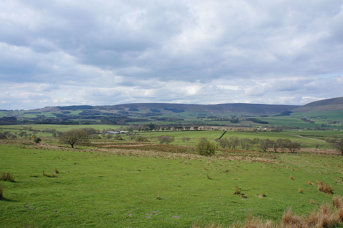
Throstle Nest Farm against a distant backdrop of Hazelhurst Fell and Fair Snape Fell
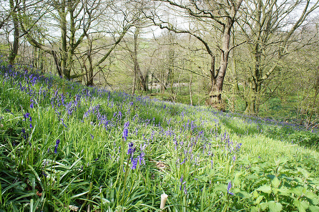
A hillside of bluebells from the road just above Walmsley Bridge
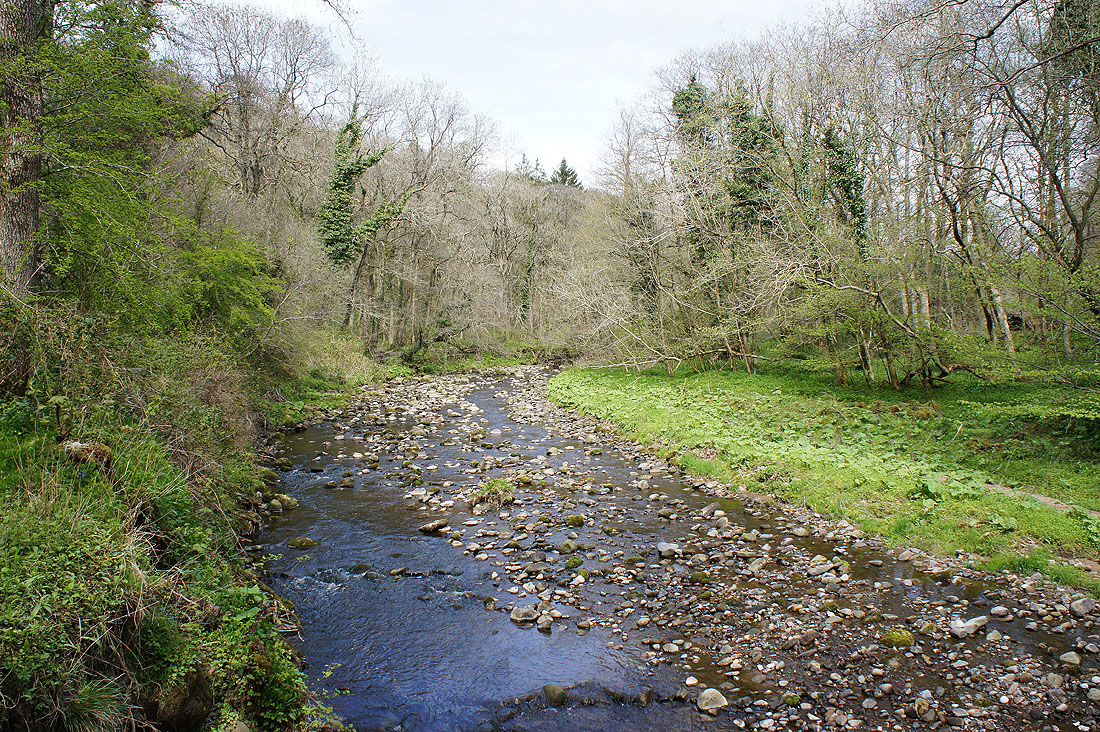
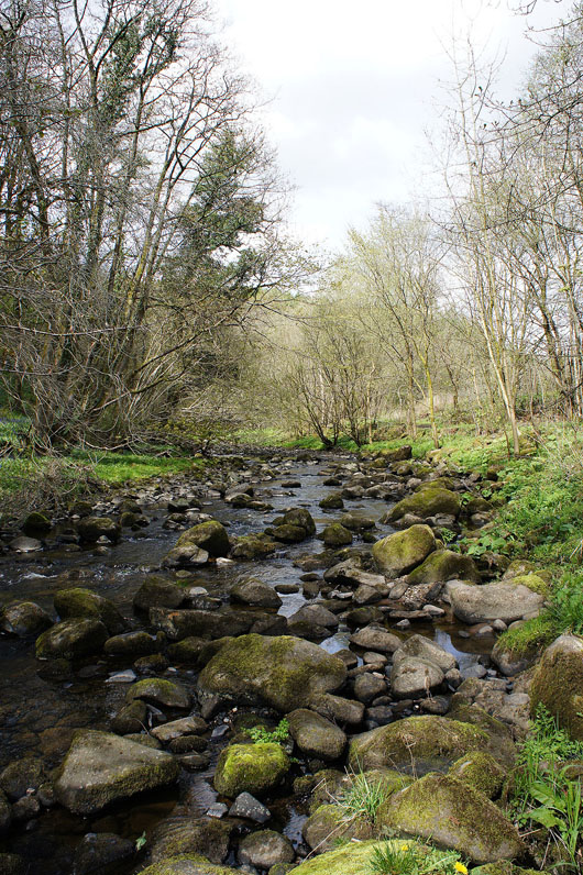
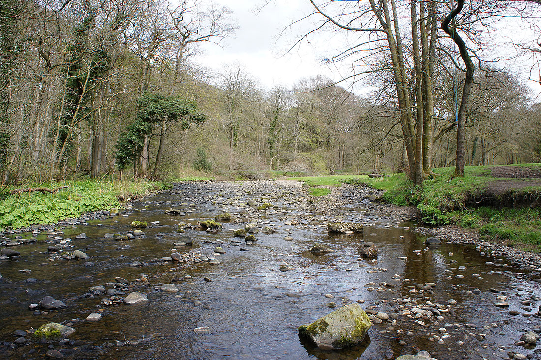
The River Brock from Walmsley Bridge. My route will now follow the river upstream for a few miles.
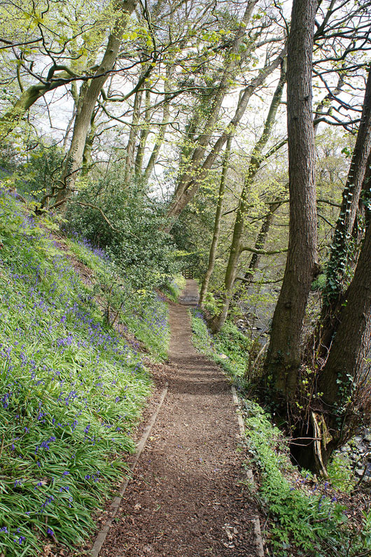
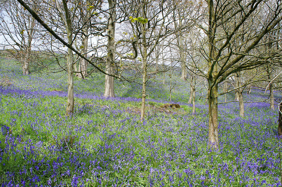
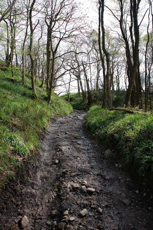
I soon enter woodland..
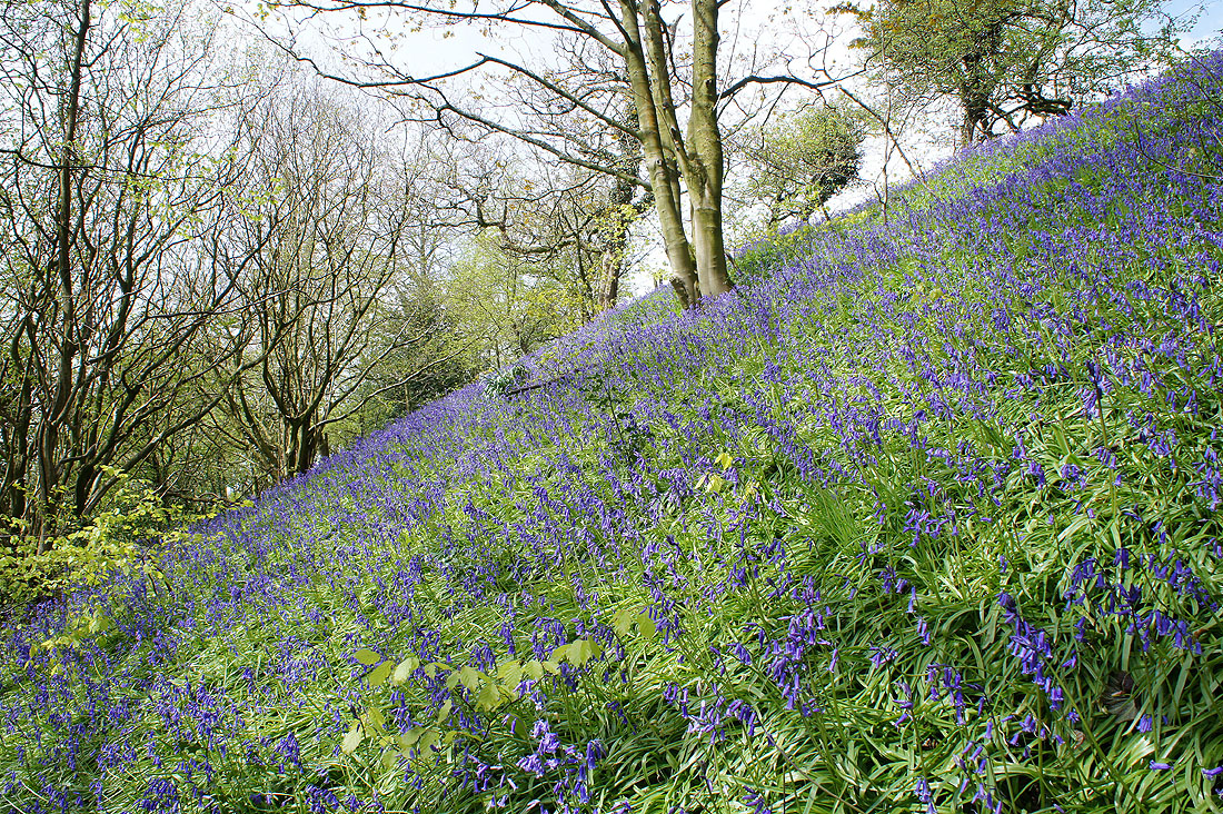
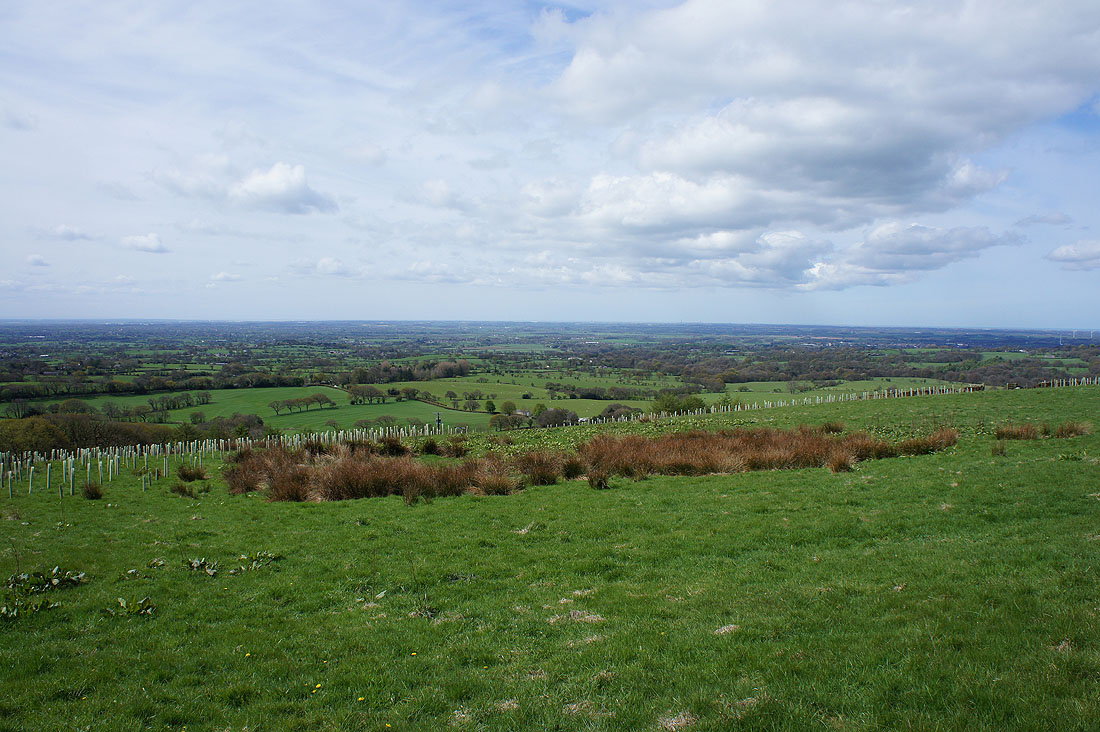
..where the bluebells are starting to put on a fantastic show
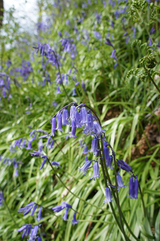
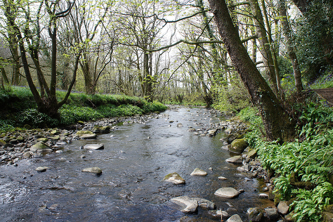
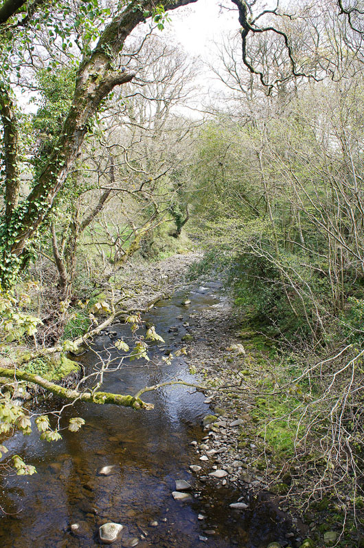
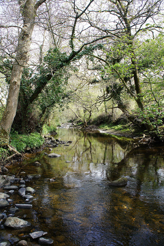
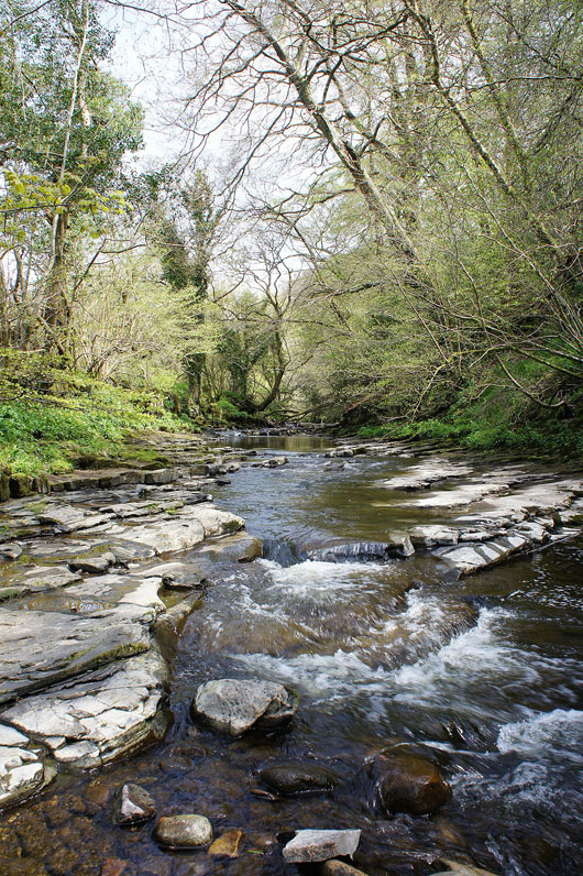
Down by the River Brock
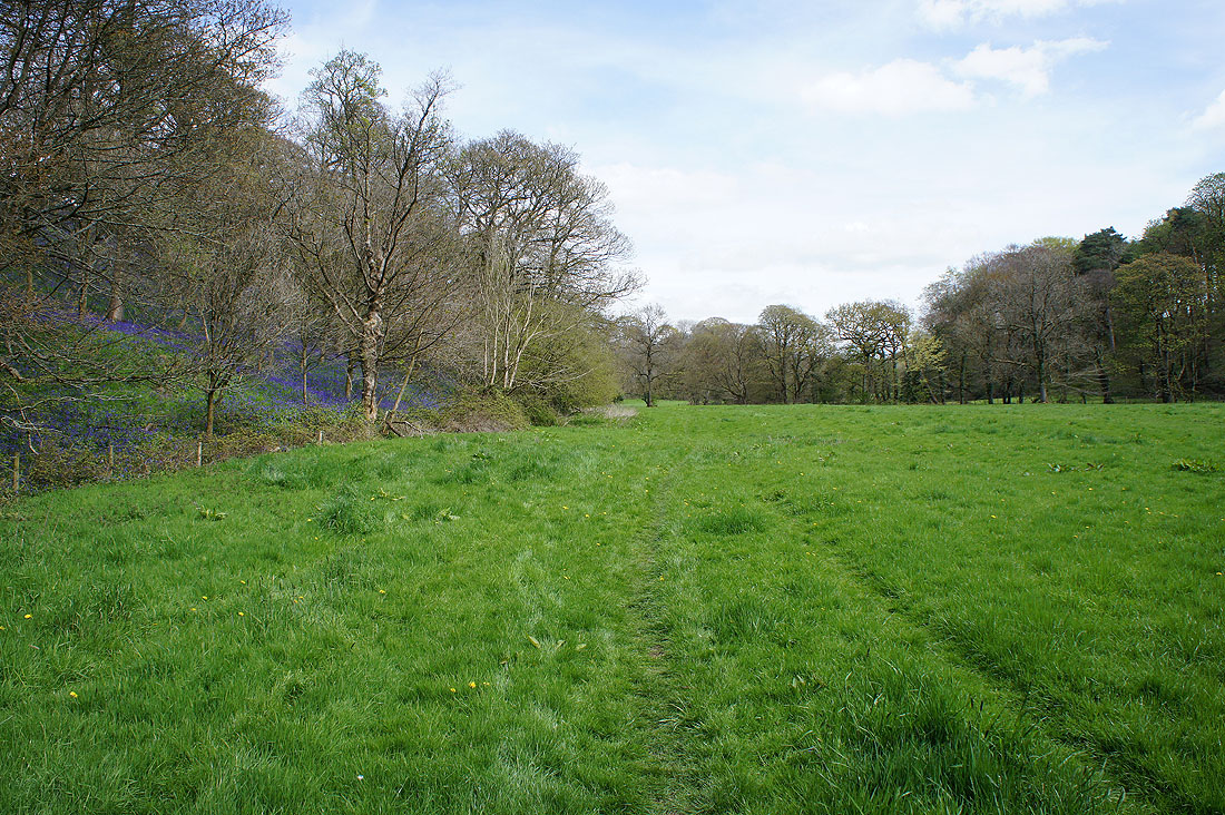
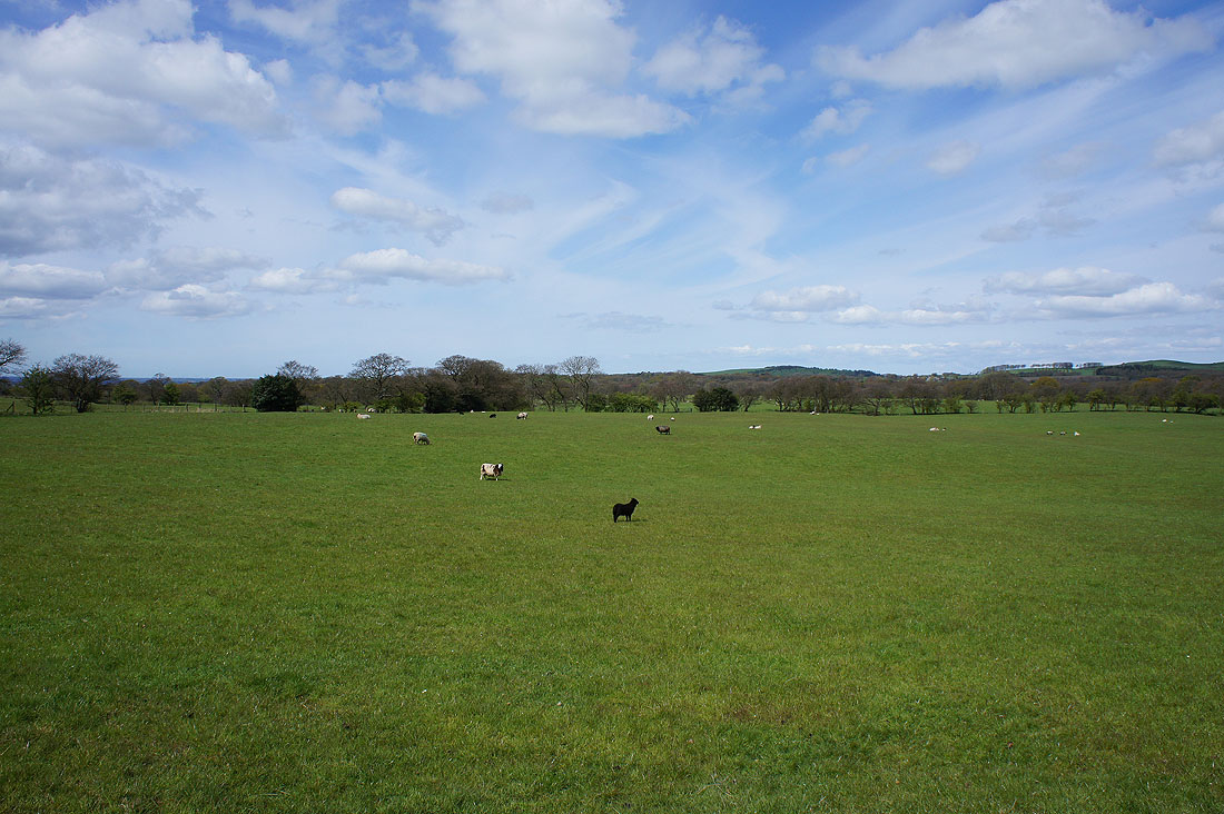
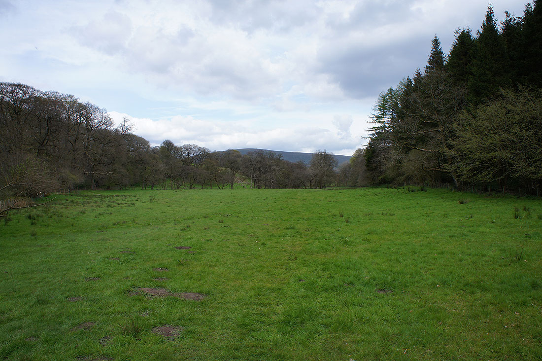
The path leaves the wood to head across fields by the river. That blue hillside on the left caught my eye.
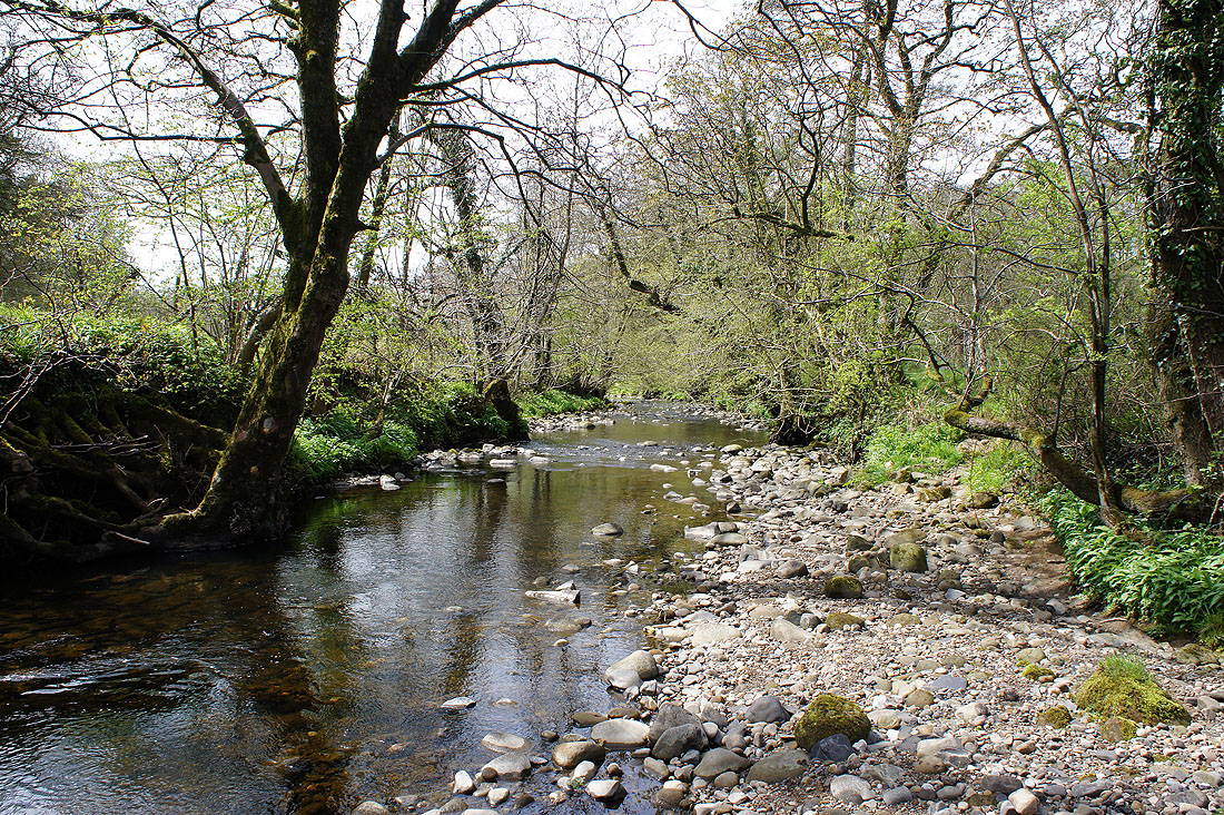
Great views as I follow the path by the River Brock......
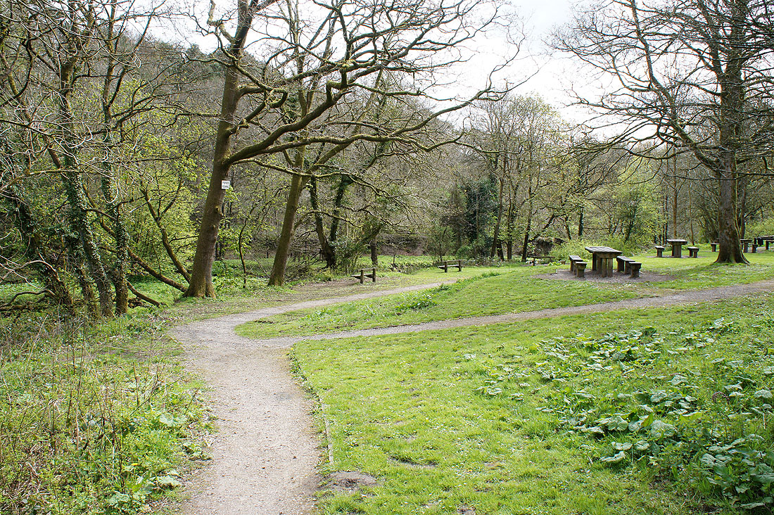
Time to take a break at the picnic site by Higher Brock Bridge
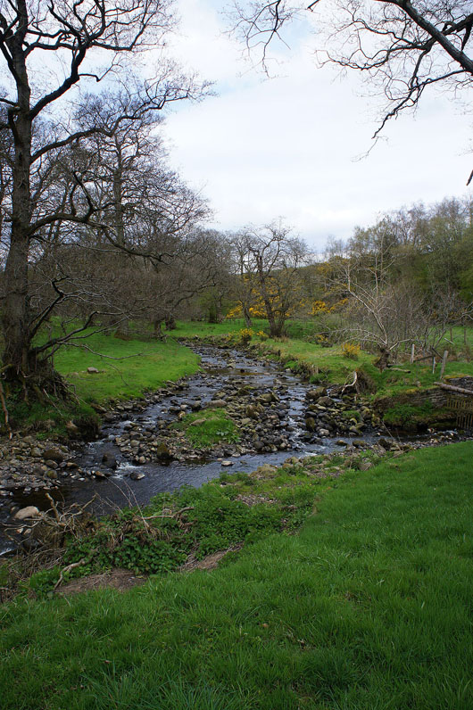
On the other side of Higher Brock Bridge the path stays with the river..
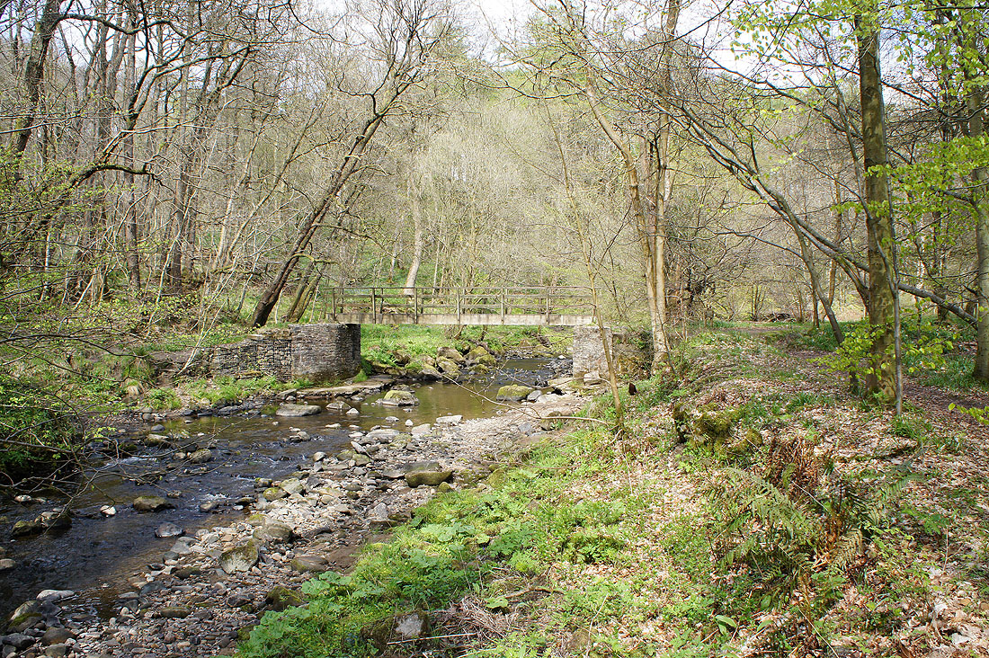
..to reach this footbridge
Then it's up the track of Snape Rake Lane
It wasn't long before I was back by the river though after taking the bridleway down into Boggy Wood
Fair Snape Fell in the distance as I'm briefly out in the open
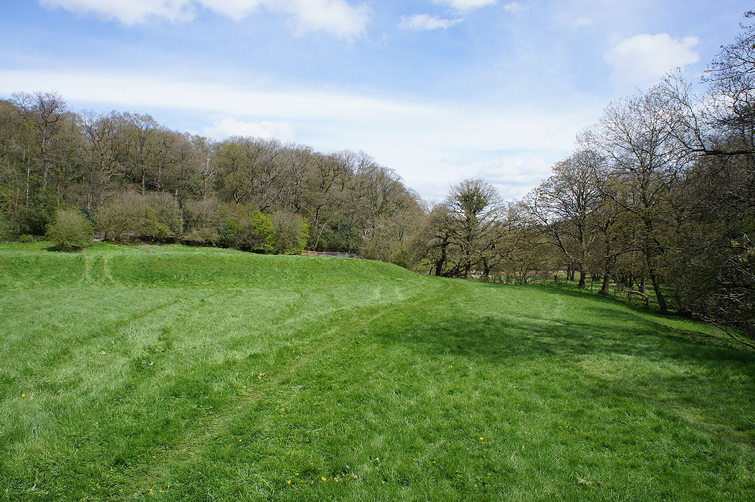
Finally leaving the River Brock behind for the path up through Gill Barn Wood
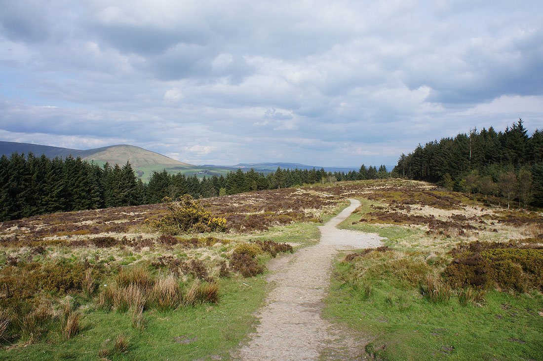
Oakenclough Fell and Hazelhurst Fell as I reach the road round Beacon Fell
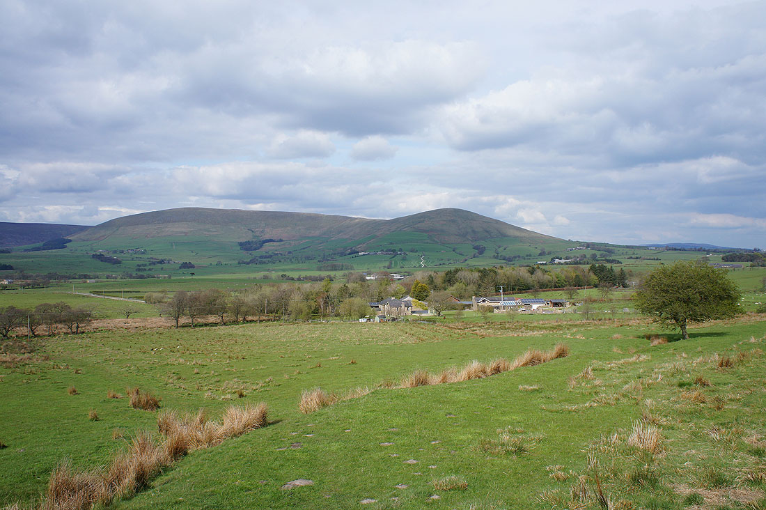
Plus Fair Snape Fell and Parlick
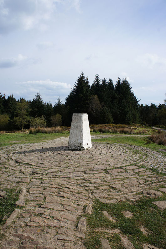
The trig point on the summit of Beacon Fell. Unfortunately not everything that is on the view indicator on its top can be seen.
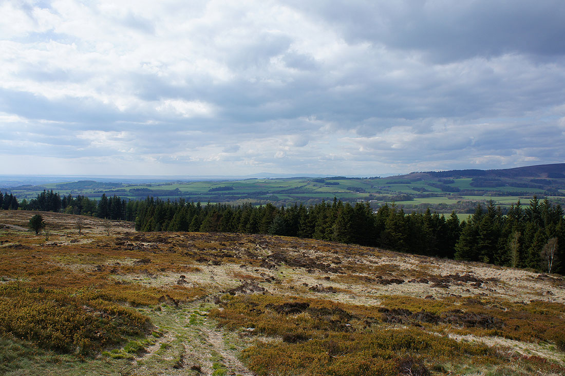
There is a distant view to the northwest. I can make out Morecambe Bay and Black Combe in the Lake District.
Fair Snape Fell and Parlick
Easington Fell in the distance
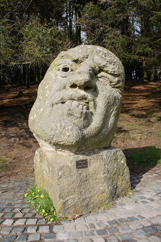
The Orme Sight sculpture as I arrive back at the Bowland Visitor Centre car park