1st May 2021 - Boulsworth Hill and Extwistle Moor
Walk Details
Distance walked: 11.2 miles
Total ascent: 2182 ft
OS map: OL21 - South Pennines
Time taken: 7 hrs
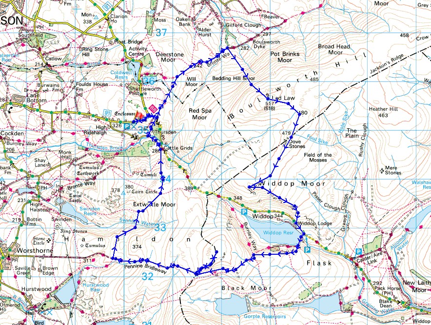
Route description: Picnic site, Halifax Road, Briercliffe-Pennine Bridleway-Boulsworth Hill-Dove Stones-Grey Stone Hill-The Scout-Widdop Reservoir-Cludders Slack-Pennine Bridleway-Gorple Stones-Gorple Hill-Pennine Bridleway-Extwistle Moor-Pennine Bridleway-Ridehalgh Lane-Pennine Bridleway-Halifax Road-Picnic site, Halifax Road, Briercliffe
It's the May Day Bank Holiday weekend and I've decided to stay local for any walks that I do. Boulsworth Hill is my target for today and by a route that I did in August 2019, which also includes the moorland to the south of Boulsworth Hill, and the Pennine Bridleway as it crosses the moors to the west of Widdop Reservoir and Extwistle Moor. It wasn't quite the same though, as I went the other way round to make route finding that bit easier. Last time I had trouble finding a path up onto the gritstone edge of The Scout, which resulted in pathless heather bashing. No such problems with going the other way, and now I know where the path leaves the road below it for future reference. After a bright start with sunny spells the cloud built up into the afternoon, but it stayed mostly dry with just the odd very brief light shower. It was cold for the first day of May though, but with just a gentle breeze it didn't feel too bad.
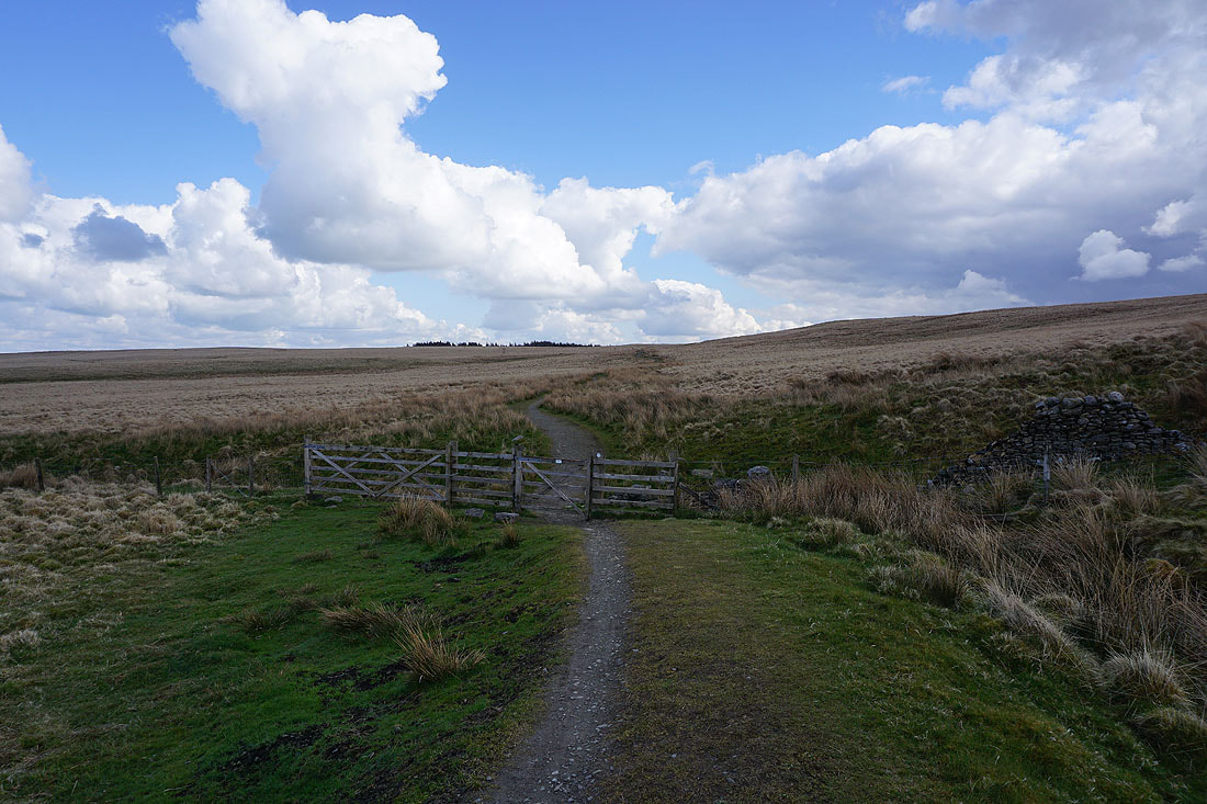
From where I parked at the picnic site on Halifax Road I walked east along the road and then turned right onto the road to Heptonstall before taking the Pennine Bridleway at the first bend in the road. I then followed the Pennine Bridleway across the moor until I reached the path up onto Boulsworth Hill, which I took to reach the trig point on the summit. From Boulsworth Hill I then made my way south across the moor to Dove Stones, and then southwest to Grey Stone Hill, where I stopped for lunch. After this break I made my way downhill along the gritstone edge of The Scout to reach the road below near Widdop Lodge. After a brief walk down the road I took the Pennine Bridleway across the dam of Widdop Reservoir before climbing up onto the gritstone crags of Cludders Slack, which I walked west along to pick up the Pennine Bridleway again to cross the moor on the track of Gorple Gate. I left the Pennine Brildeway for a while to visit the Gorple Stones and the top of the Gorple Hill above. On returning to the Pennine Bridleway I continued to follow it downhill to the west, and then north across Extwistle Moor and down to Ridehalgh Lane in the Thursden Valley. I kept on the Pennine Bridleway, briefly walking down Ridehalgh Lane, and then turning right to cross Thursden Brook and follow it up through woodland to Halifax Road above. This was where I joined it in the morning, so I retraced my steps back to where I'd parked.
Total ascent: 2182 ft
OS map: OL21 - South Pennines
Time taken: 7 hrs
Route description: Picnic site, Halifax Road, Briercliffe-Pennine Bridleway-Boulsworth Hill-Dove Stones-Grey Stone Hill-The Scout-Widdop Reservoir-Cludders Slack-Pennine Bridleway-Gorple Stones-Gorple Hill-Pennine Bridleway-Extwistle Moor-Pennine Bridleway-Ridehalgh Lane-Pennine Bridleway-Halifax Road-Picnic site, Halifax Road, Briercliffe
It's the May Day Bank Holiday weekend and I've decided to stay local for any walks that I do. Boulsworth Hill is my target for today and by a route that I did in August 2019, which also includes the moorland to the south of Boulsworth Hill, and the Pennine Bridleway as it crosses the moors to the west of Widdop Reservoir and Extwistle Moor. It wasn't quite the same though, as I went the other way round to make route finding that bit easier. Last time I had trouble finding a path up onto the gritstone edge of The Scout, which resulted in pathless heather bashing. No such problems with going the other way, and now I know where the path leaves the road below it for future reference. After a bright start with sunny spells the cloud built up into the afternoon, but it stayed mostly dry with just the odd very brief light shower. It was cold for the first day of May though, but with just a gentle breeze it didn't feel too bad.
From where I parked at the picnic site on Halifax Road I walked east along the road and then turned right onto the road to Heptonstall before taking the Pennine Bridleway at the first bend in the road. I then followed the Pennine Bridleway across the moor until I reached the path up onto Boulsworth Hill, which I took to reach the trig point on the summit. From Boulsworth Hill I then made my way south across the moor to Dove Stones, and then southwest to Grey Stone Hill, where I stopped for lunch. After this break I made my way downhill along the gritstone edge of The Scout to reach the road below near Widdop Lodge. After a brief walk down the road I took the Pennine Bridleway across the dam of Widdop Reservoir before climbing up onto the gritstone crags of Cludders Slack, which I walked west along to pick up the Pennine Bridleway again to cross the moor on the track of Gorple Gate. I left the Pennine Brildeway for a while to visit the Gorple Stones and the top of the Gorple Hill above. On returning to the Pennine Bridleway I continued to follow it downhill to the west, and then north across Extwistle Moor and down to Ridehalgh Lane in the Thursden Valley. I kept on the Pennine Bridleway, briefly walking down Ridehalgh Lane, and then turning right to cross Thursden Brook and follow it up through woodland to Halifax Road above. This was where I joined it in the morning, so I retraced my steps back to where I'd parked.
Route map
© Crown copyright. All rights reserved. License number PU 100034184.
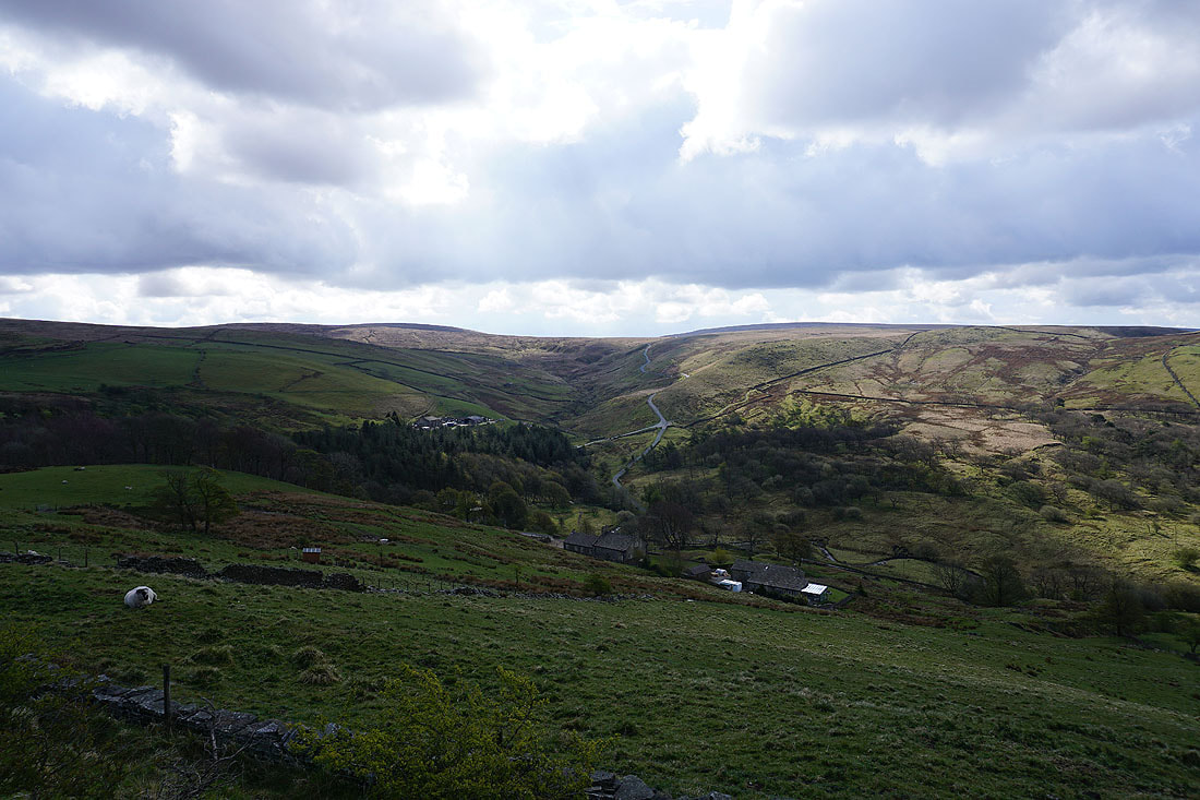
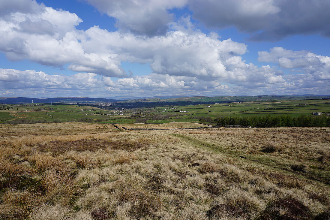
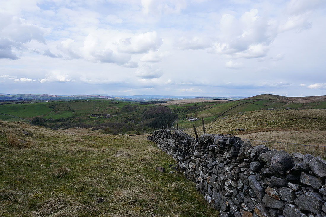
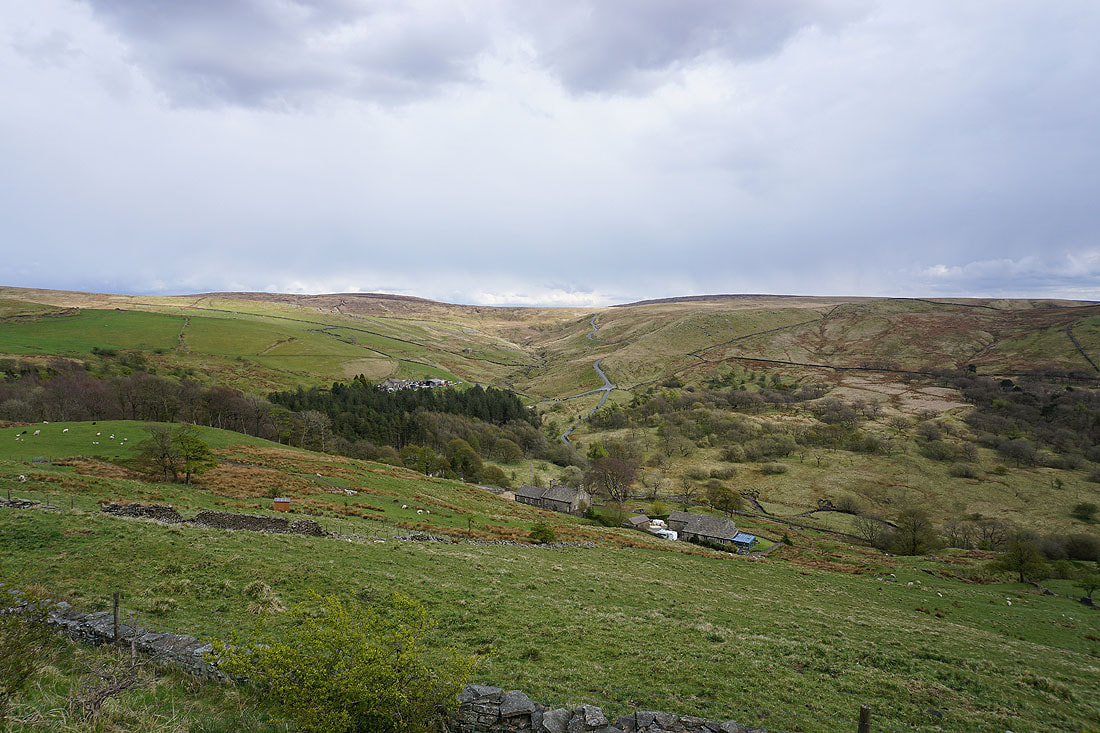
The Thursden Valley from where I'm parked
Pendle Hill to the northwest as I take the Pennine Bridleway
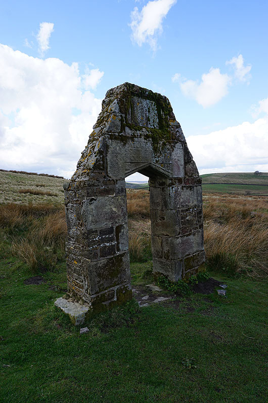
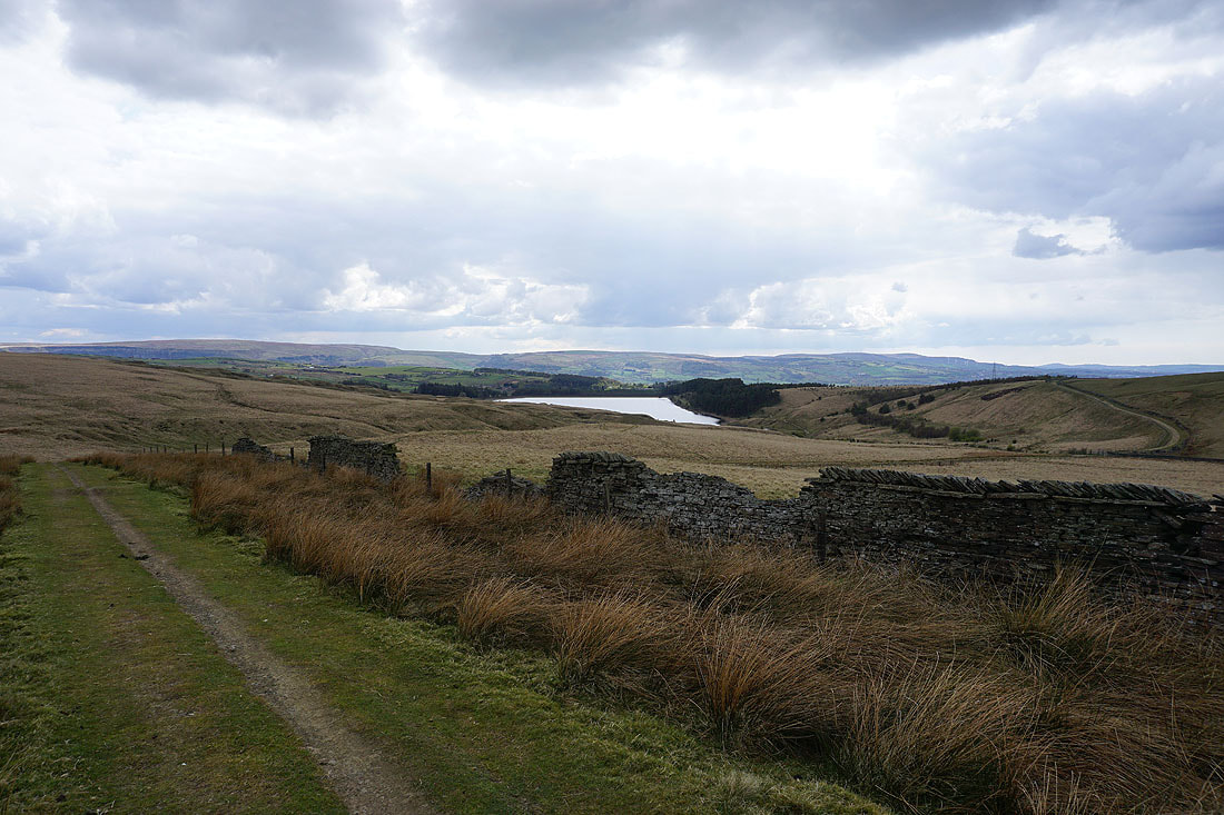
I've not had any joy trying to find out what this ruin used to be. The writing above the door is too faded to read.
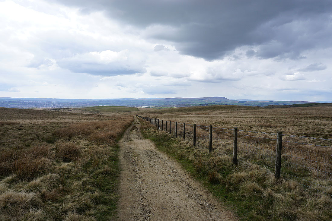
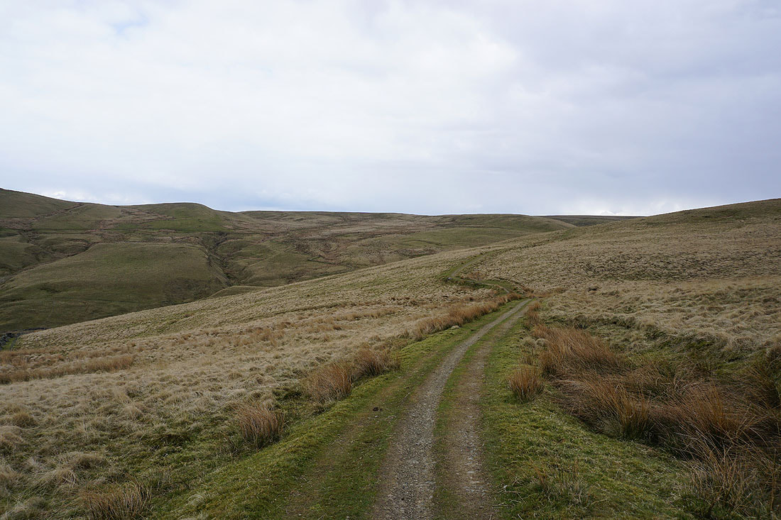
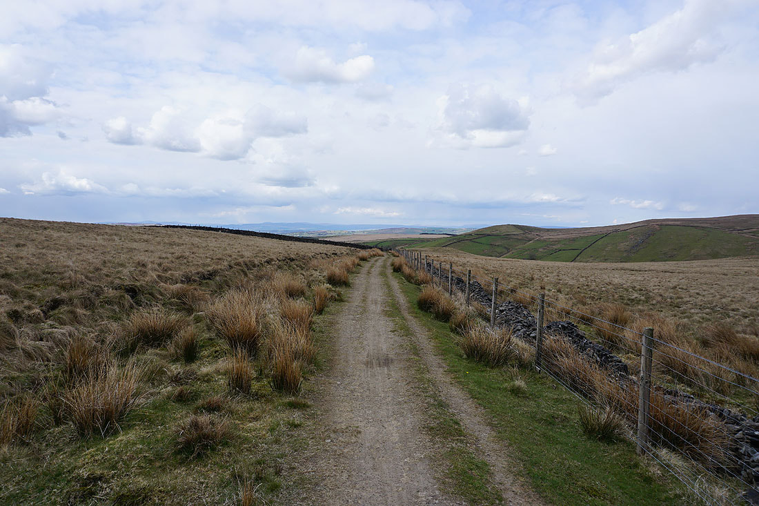
Heading north along the Pennine Bridleway
Upper Coldwell Reservoir and Pendle Hill
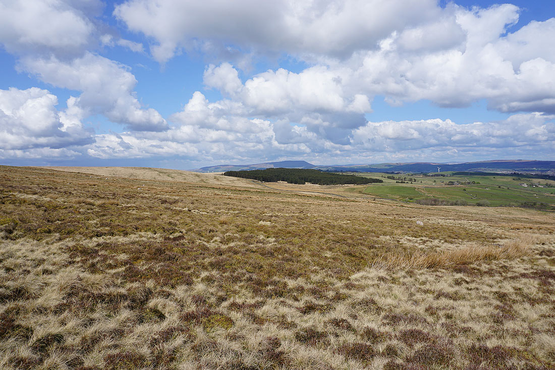
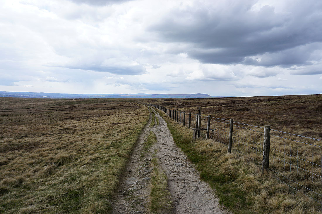
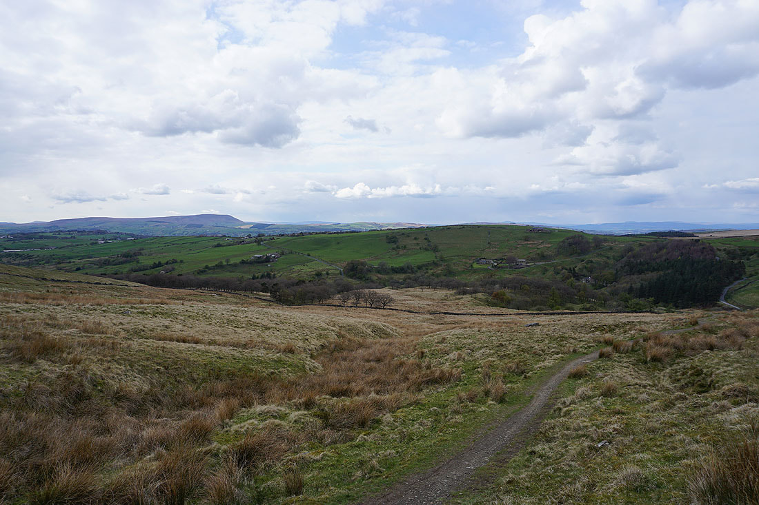
Combe Hill and Wolf Stones in the distance as I head east along the Pennine Bridleway
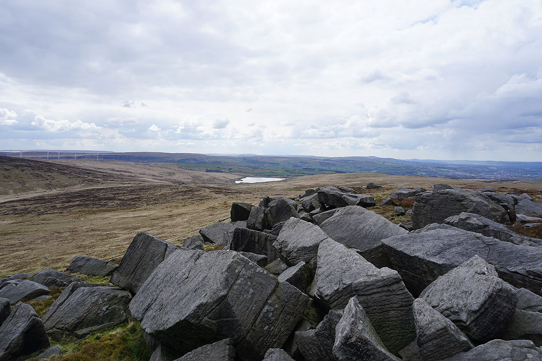
Expanding views as I climb Boulsworth Hill..
Pendle Hill in the distance
The Coldwell Reservoirs and Pendle Hill from the Abbot Stone
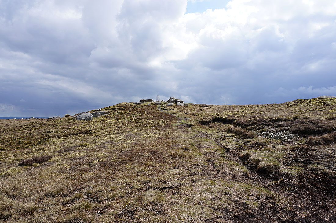
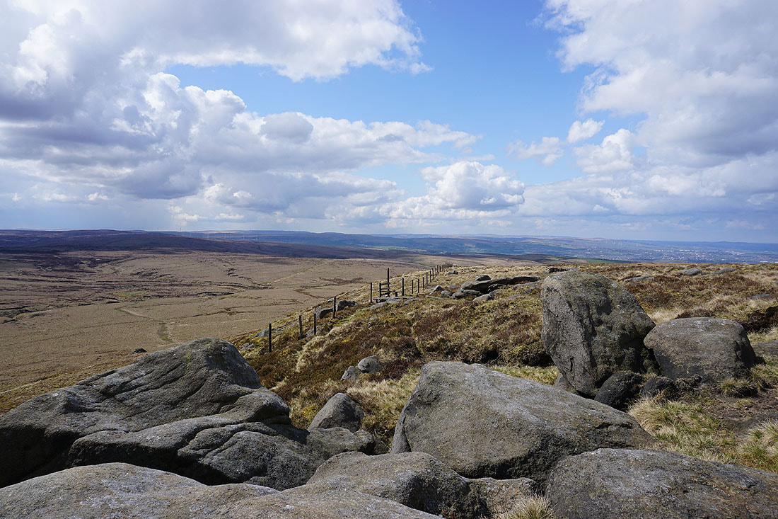
The trig point is in sight
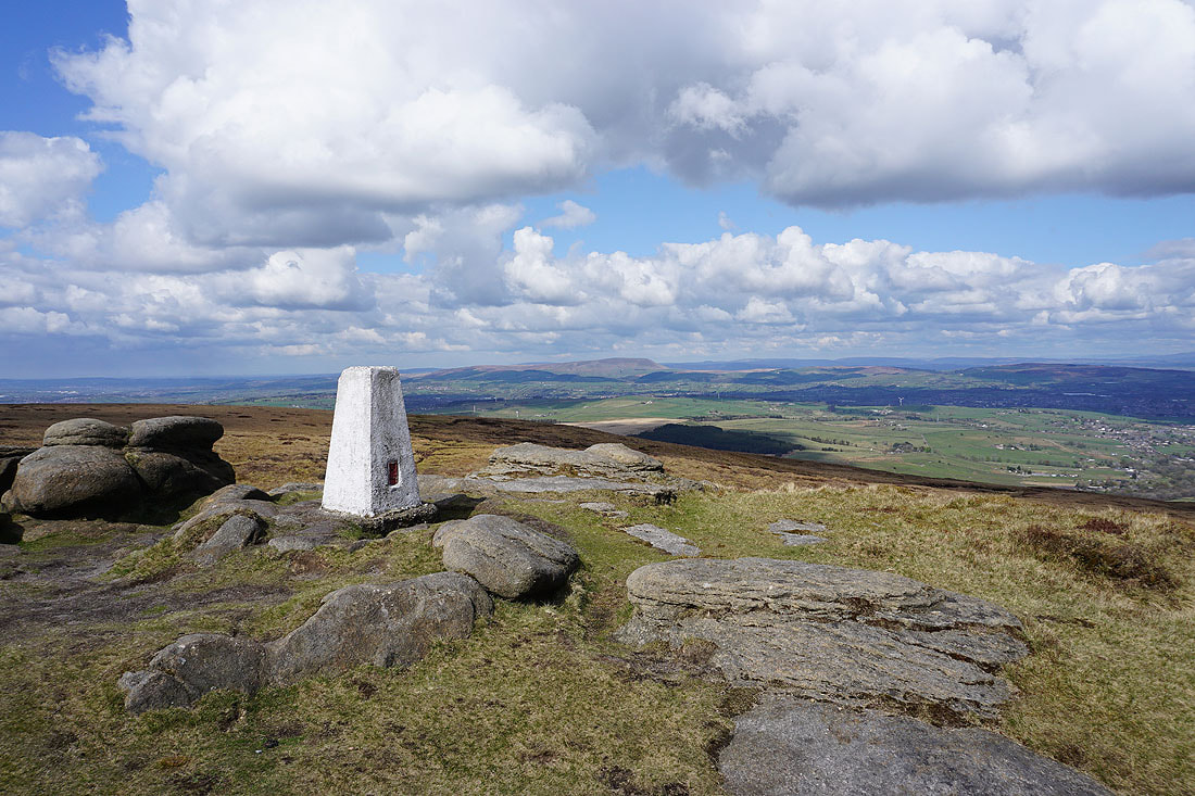
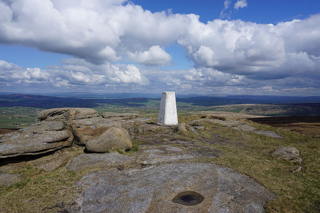
At the trig point on Boulsworth Hill with Pendle Hill in the distance
Looking north to the Yorkshire Dales with the big hills of Ingleborough, Whernside, Penyghent, Buckden Pike and Great Whernside on the skyline
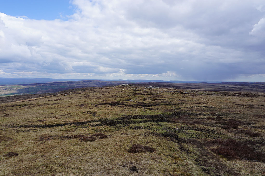
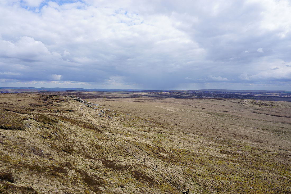
Wolf Stones and Crow Hill to the east
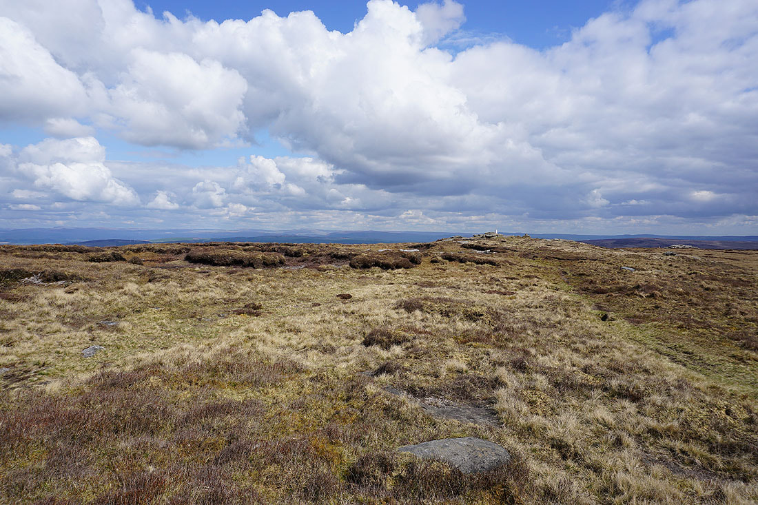
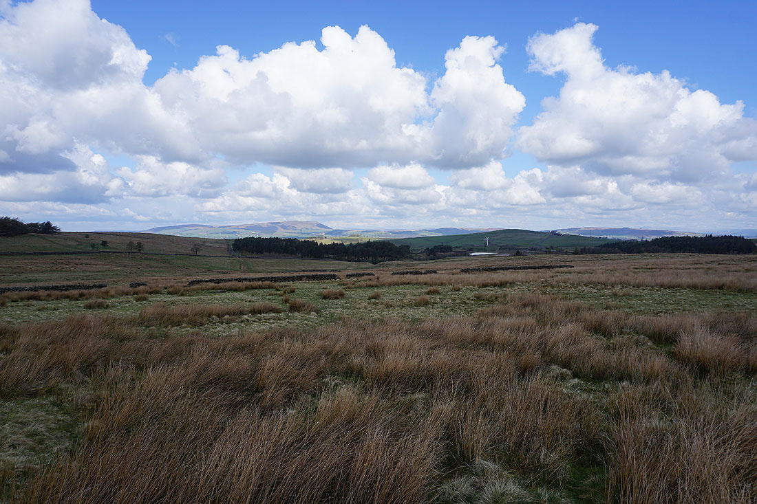
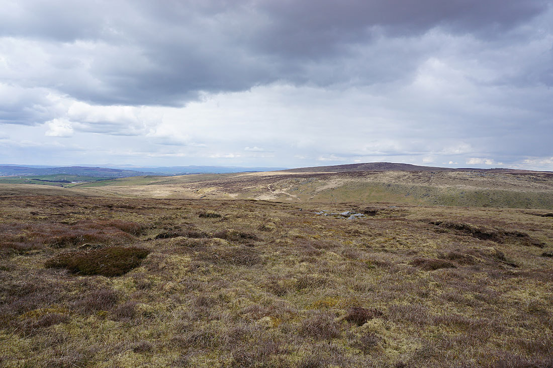
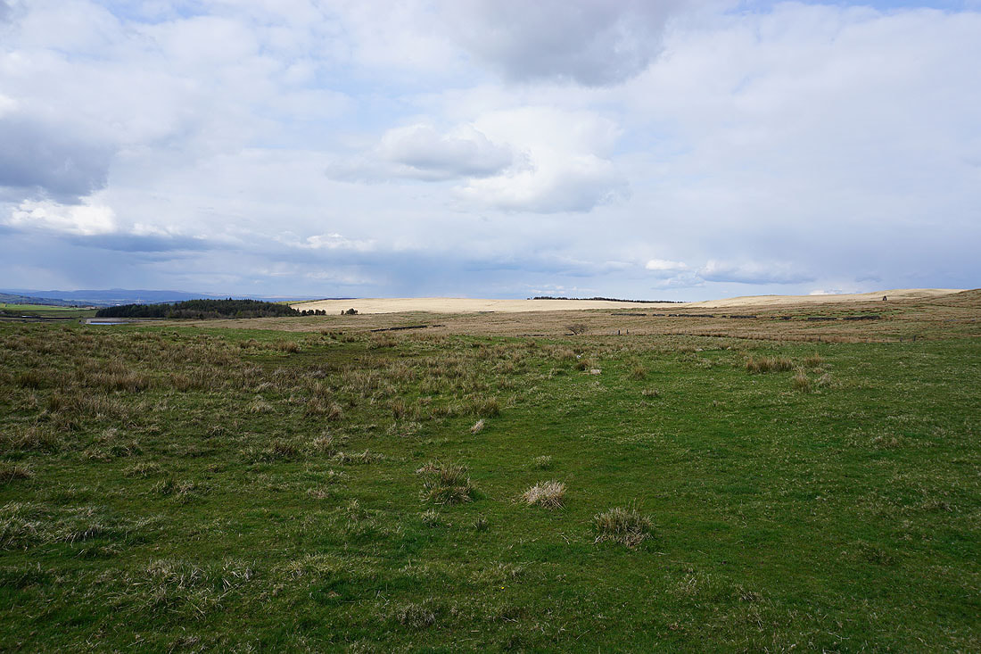
Big skies over Boulsworth Hill
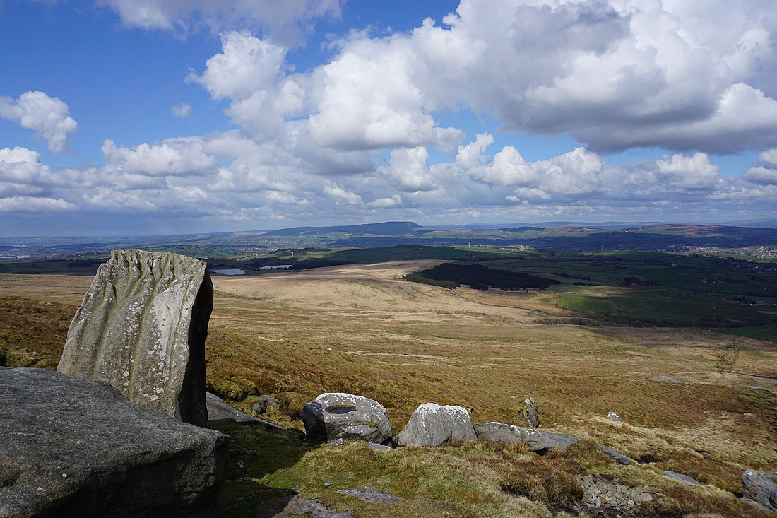
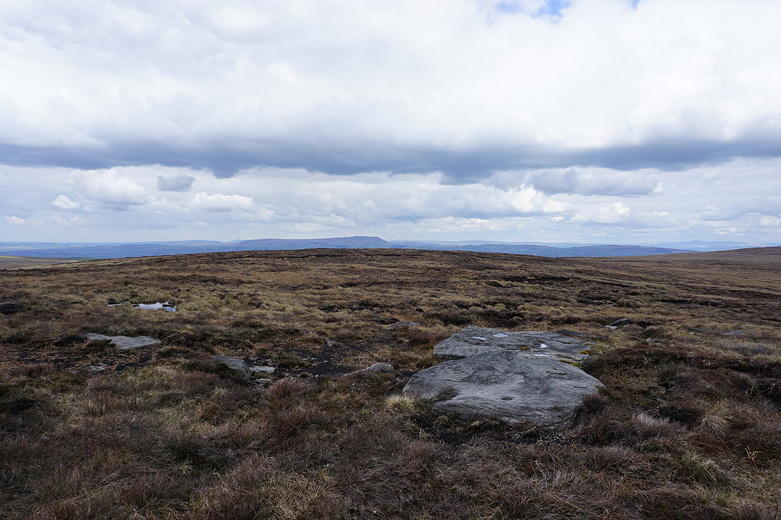
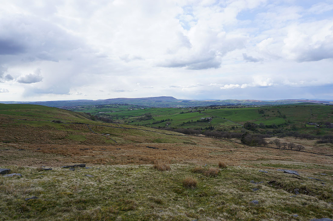
Thieveley Pike and the moors around Cliviger to the southwest
Dove Stones and the moors of Calderdale to the south
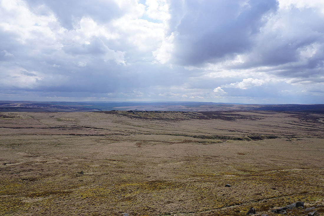
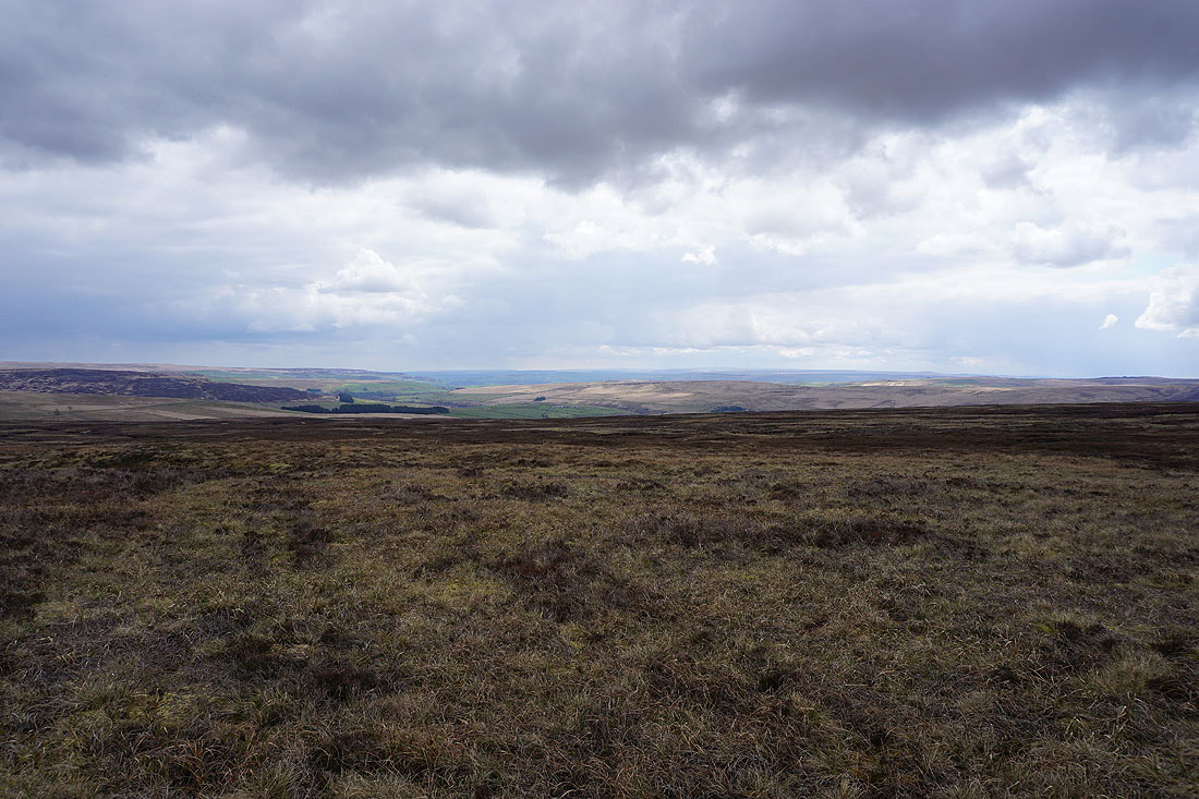
Looking east across the moors of Bronte Country
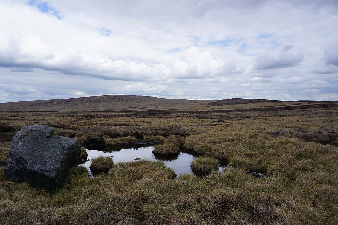
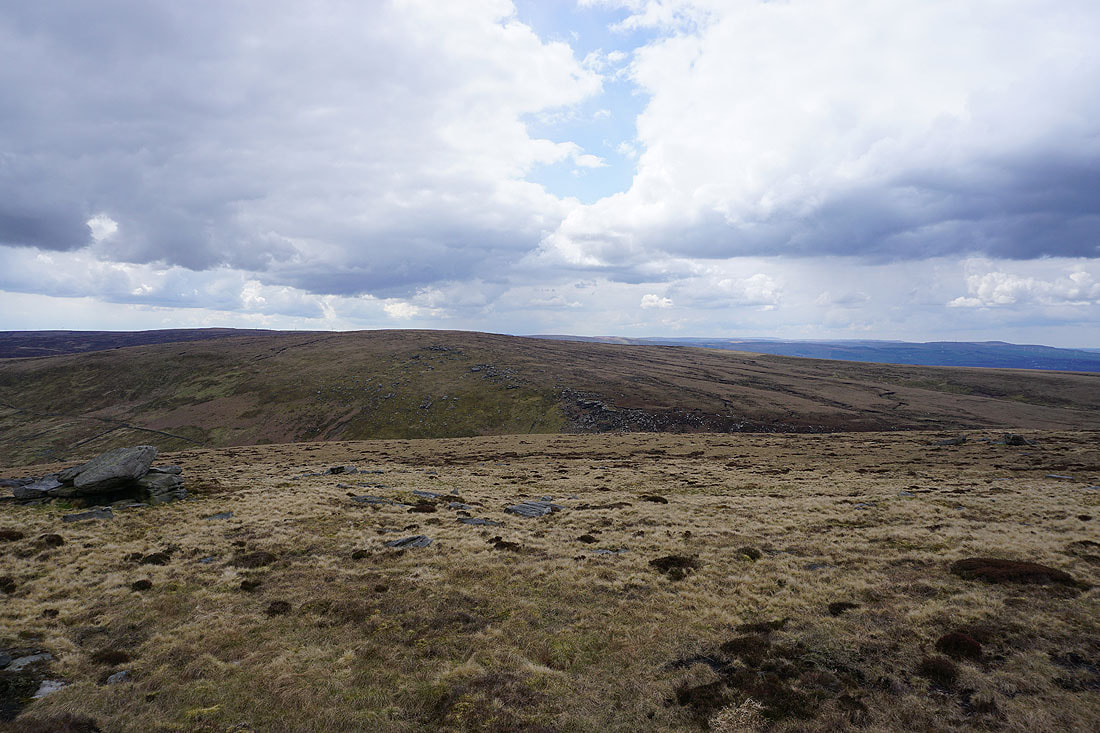
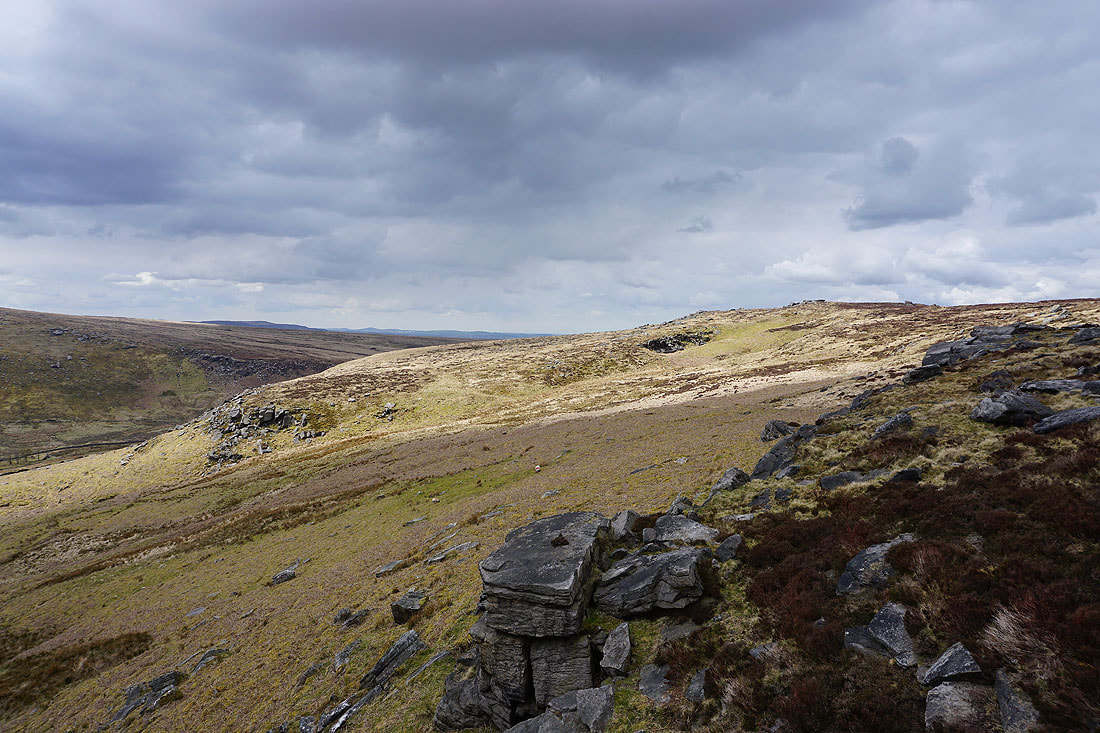
Crossing boggy ground from Boulsworth Hill to Dove Stones
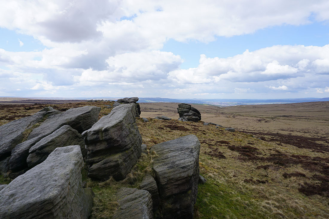
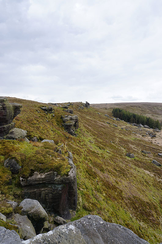
On the gritstone outcrops and boulders of Dove Stones...
|
|
Looking back to Boulsworth Hill on the left
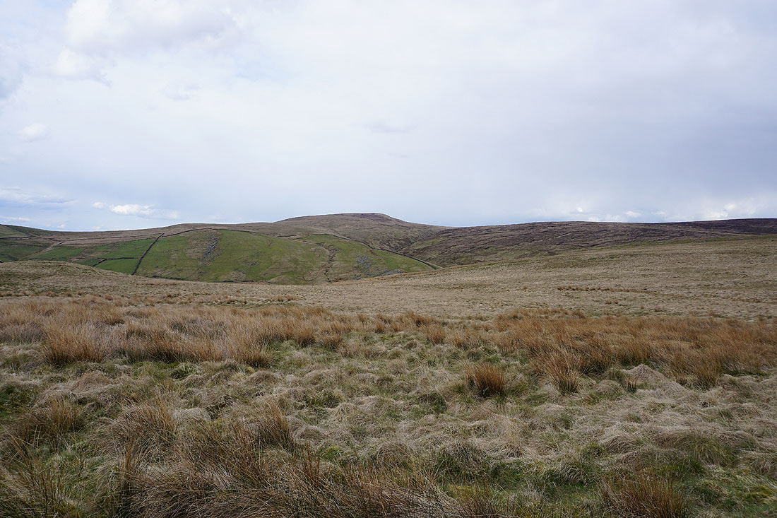
The moorland around Hebden Dale to the south as I head from Dove Stones to Grey Stone Hill
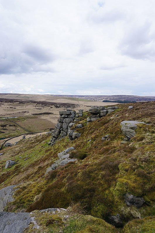
Boulsworth Hill and Dove Stones from Grey Stone Hill
Pendle Hill in the distance
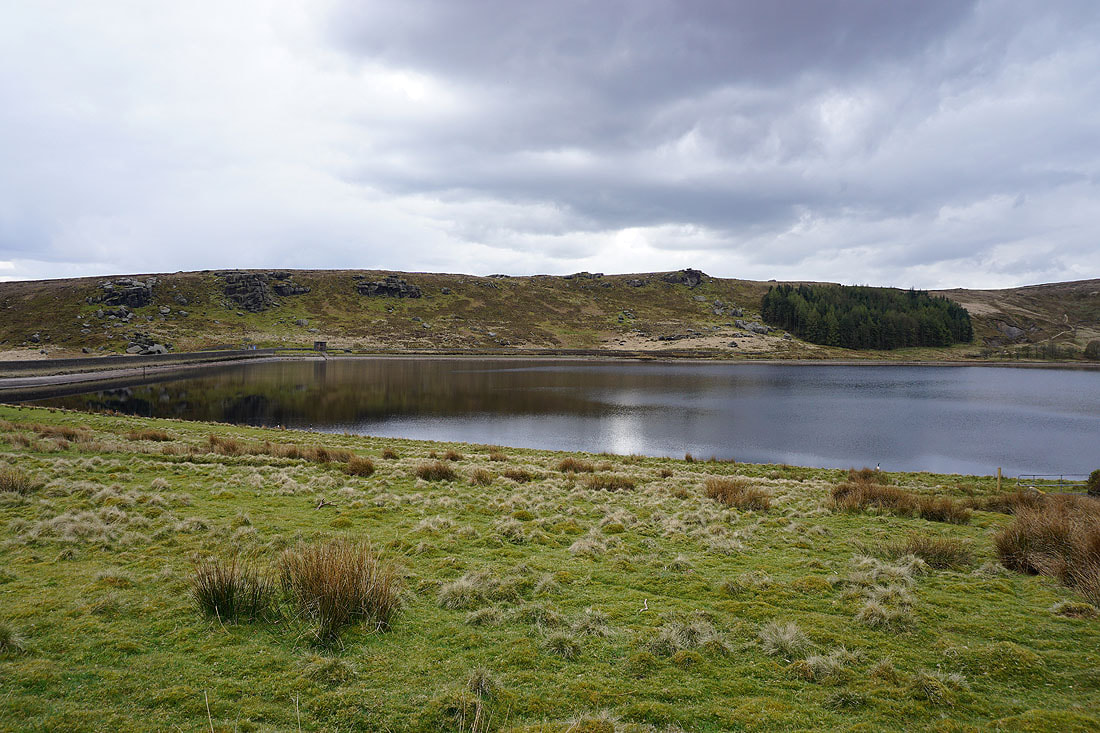
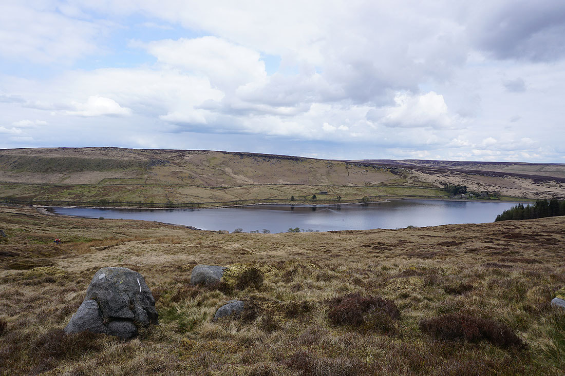
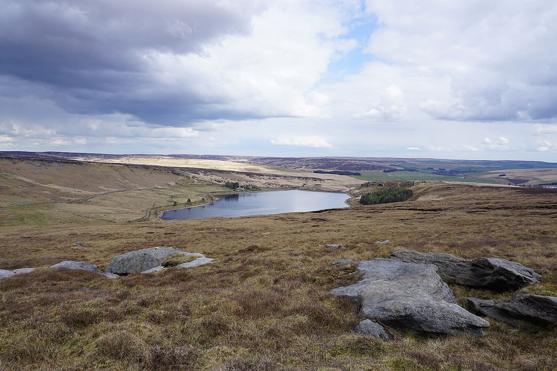
Widdop Reservoir comes into view from the southern edge of Grey Stone Hill
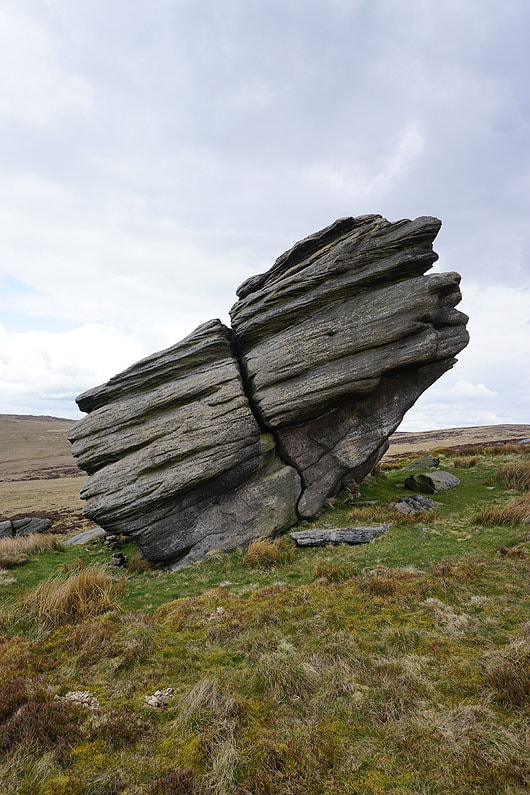
Looking across to the Clattering Stones on the opposite hillside
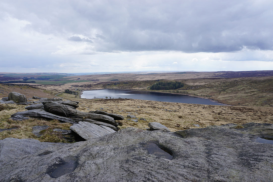
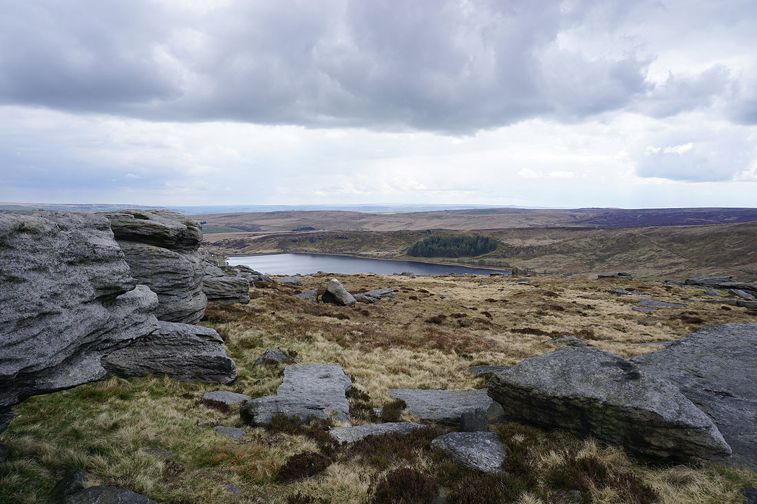
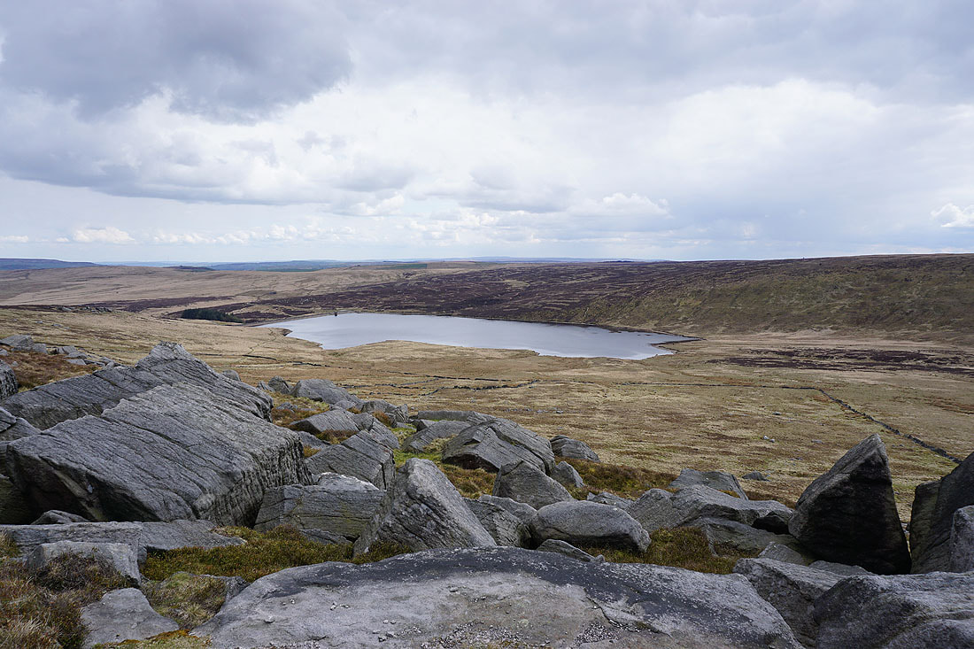
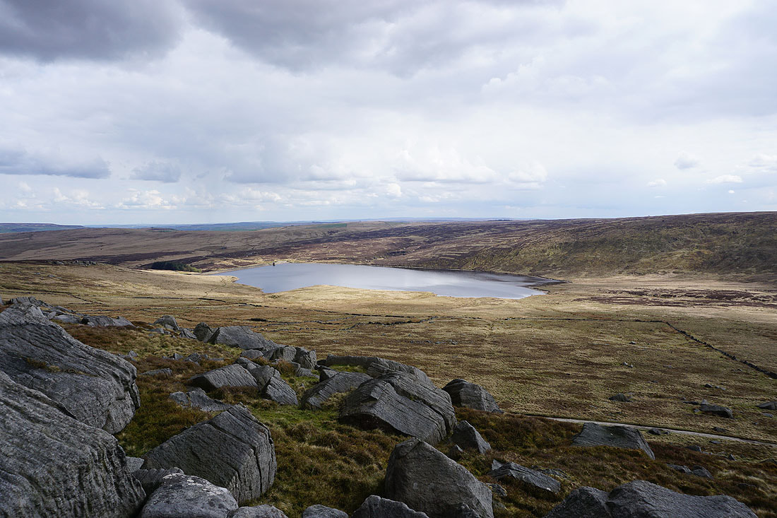
Great views of Widdop Reservoir set in a bowl in the hills as I follow the gritstone edge of The Scout downhill...
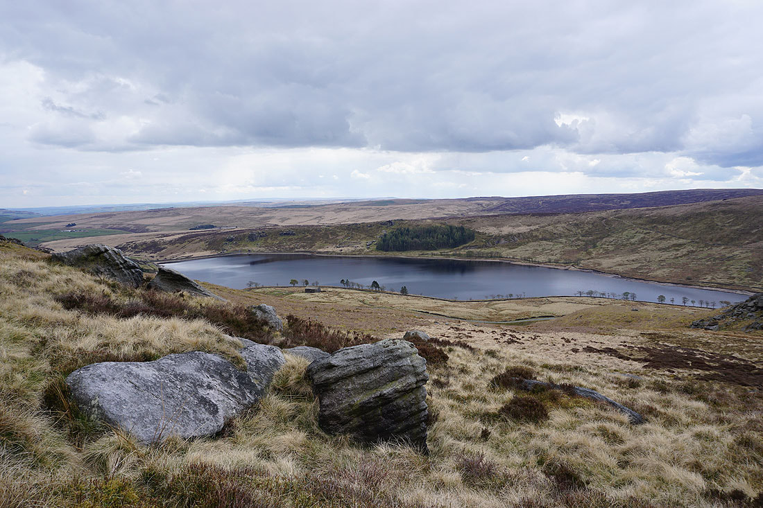
Looking back to Grey Stone Hill
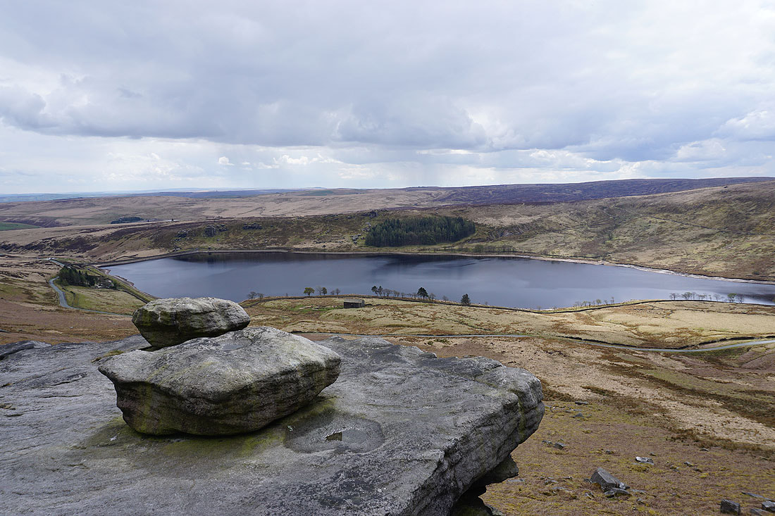
Another shot of Widdop Reservoir
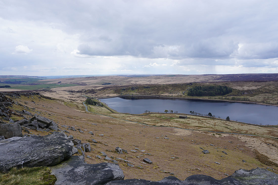
Looking back up the gritstone edge of The Scout
A last shot from The Scout. A path heads down to the road and joins it near Widdop Lodge in the trees below.
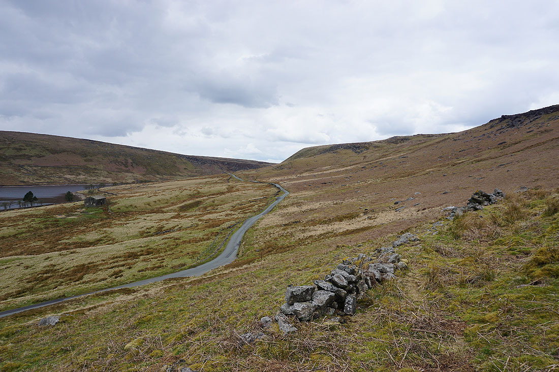
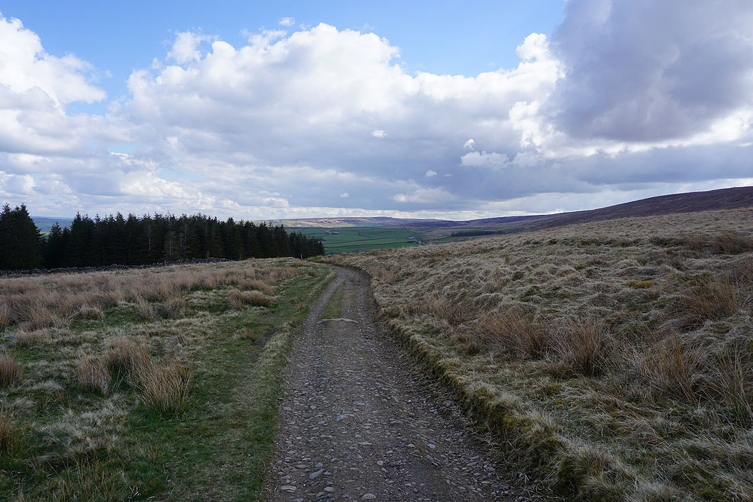
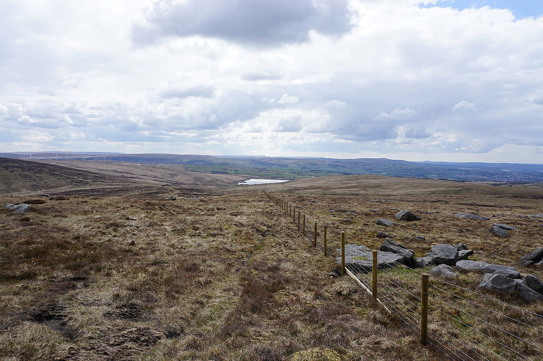
The road across the moors to the Thursden Valley
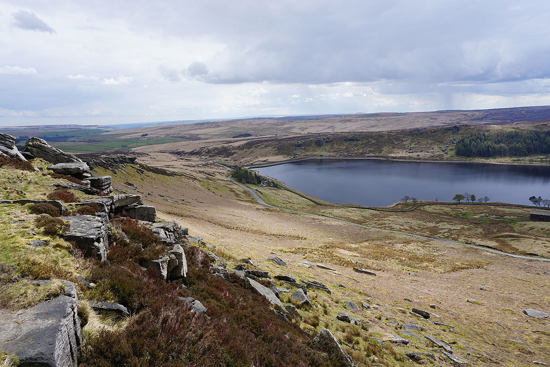
Looking across Widdop Reservoir to Cludders Slack
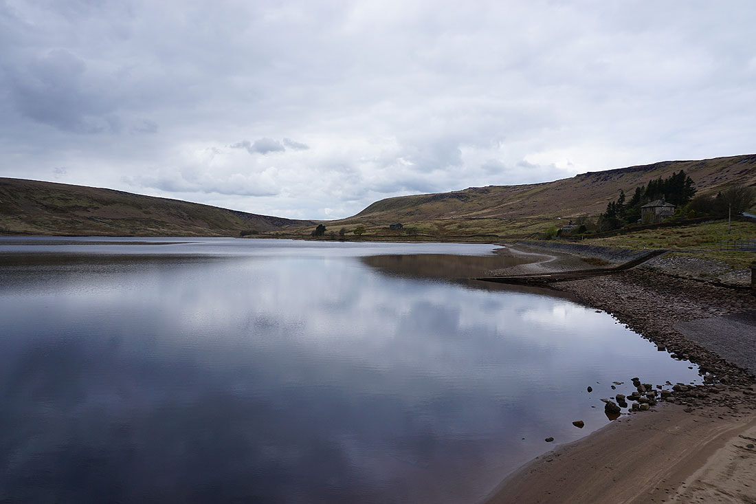
Widdop Reservoir from its dam
Widdop Reservoir from Cludders Slack
|
|
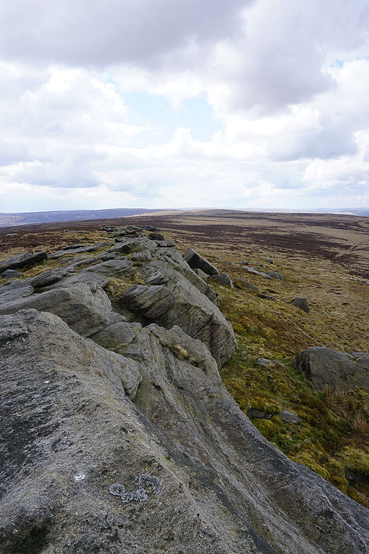
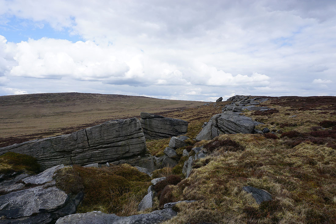
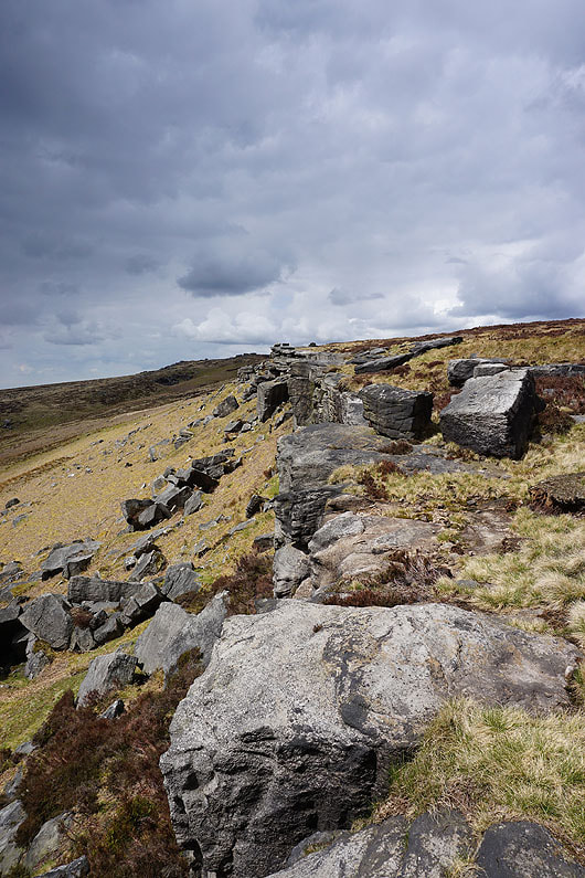
The gritstone crags of Cludders Slack
Clattering Stones and Grey Stone Hill above the head of Widdop Reservoir
Looking east to Wadsworth Moor
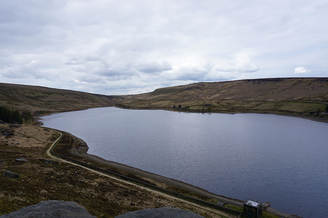
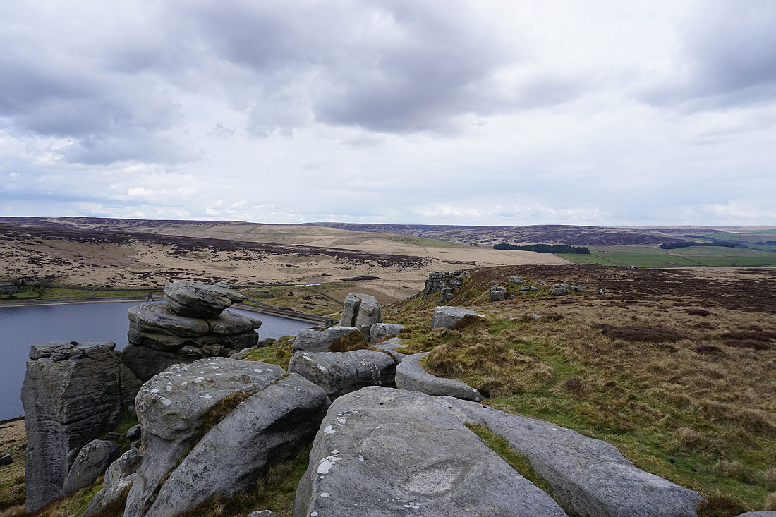
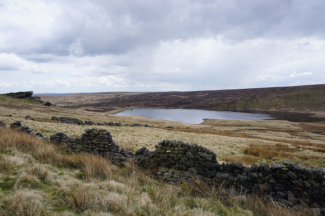
Widdop Reservoir with the gritstone edge of The Scout above
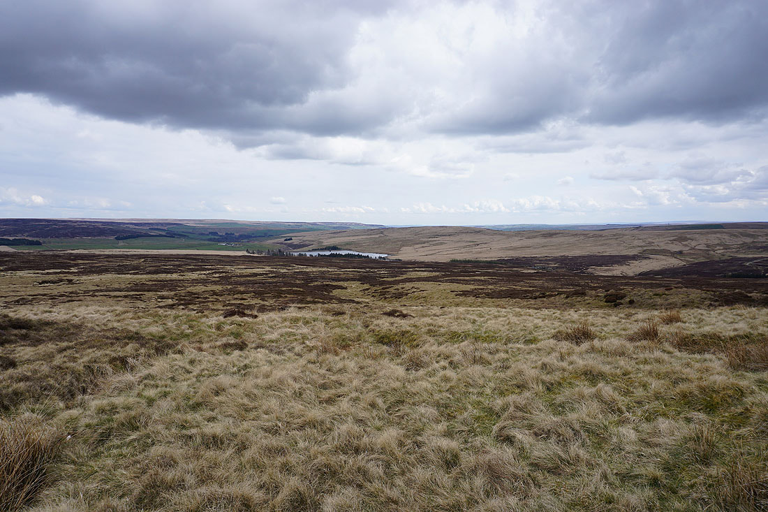
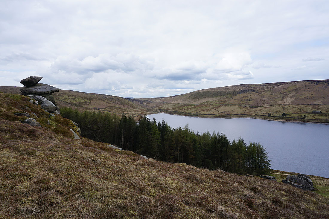
Gorple Lower Reservoir
Following the track of Gorple Gate to the west
Gorple Upper Reservoir
and again, but from the Gorple Stones
Cant Clough Reservoir from the Gorple Stones
From the Gorple Stones I followed the fence to the top of Gorple Hill above. The view from it isn't too bad, with Pendle Hill on the left and Ingleborough in the distance to the right.
Widdop Reservoir below
Ingleborough and Penyghent in the distance on the left, with Boulsworth Hill on the right
Pendle Hill, Ingleborough and Penyghent in the distance from Birkin Clough Head

Back at the top of Gorple Hill with Hoof Stones Height to the south
Cant Clough Reservoir as I follow the fence back down to the track of Gorple Gate
A sunlit Gorple Upper Reservoir from the Gorple Stones
Pendle Hill ahead as I follow the bridleway west..
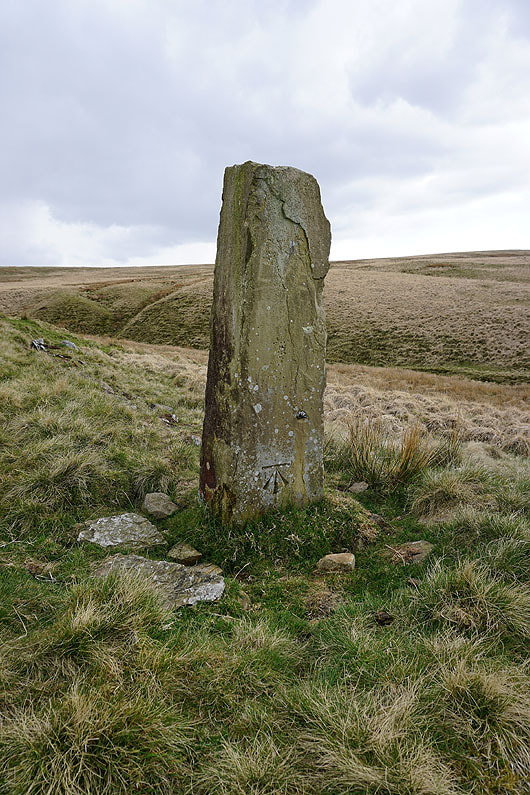
OS benchmark on a post next to the track
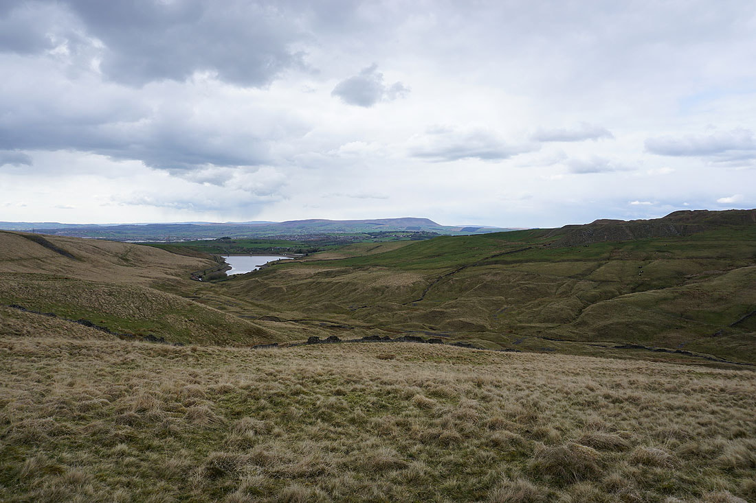
Hurstwood Reservoir as I take the Pennine Bridleway north back to the Thursden Valley
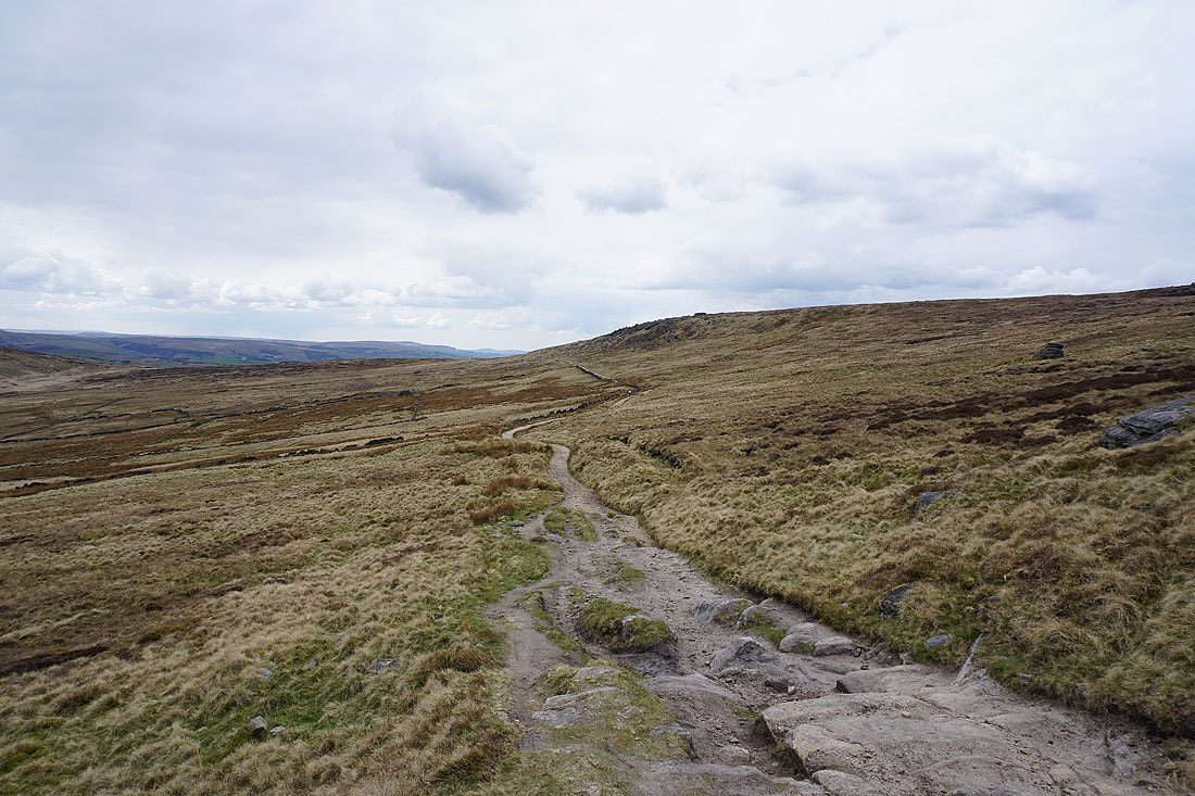
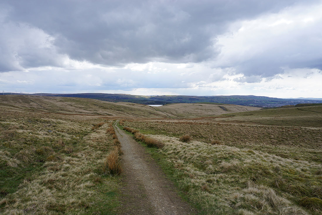
Following the Pennine Bridleway north to Extwistle Moor
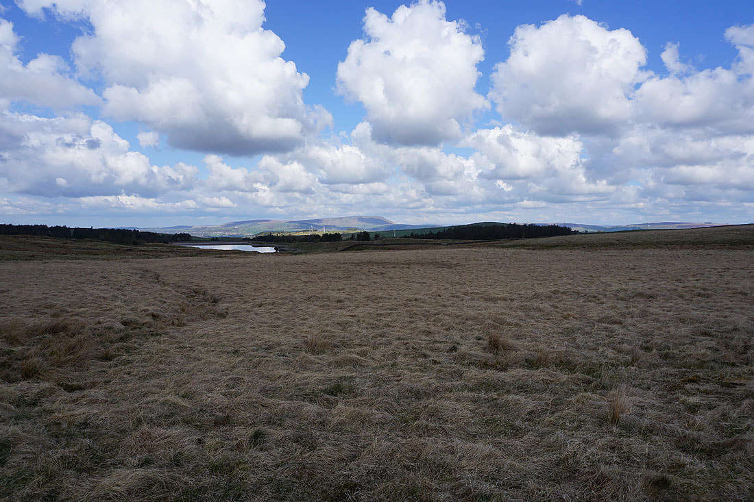
Swinden Reservoir and Pendle Hill
Thieveley Pike and Hameldon Hill in the distance as I look back along the bridleway
Pendle Hill, Wheathead Height and Weets Hill to the northwest from Extwistle Moor
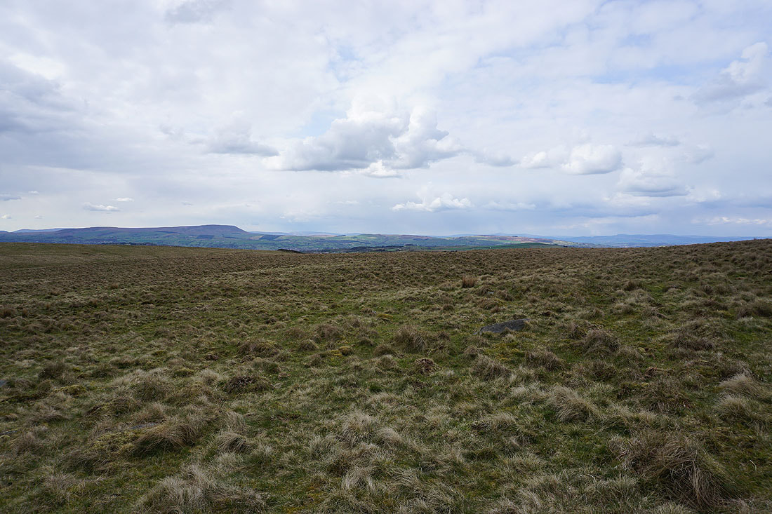
The Yorkshire Dales in the distance as I cross the top of Extwistle Moor
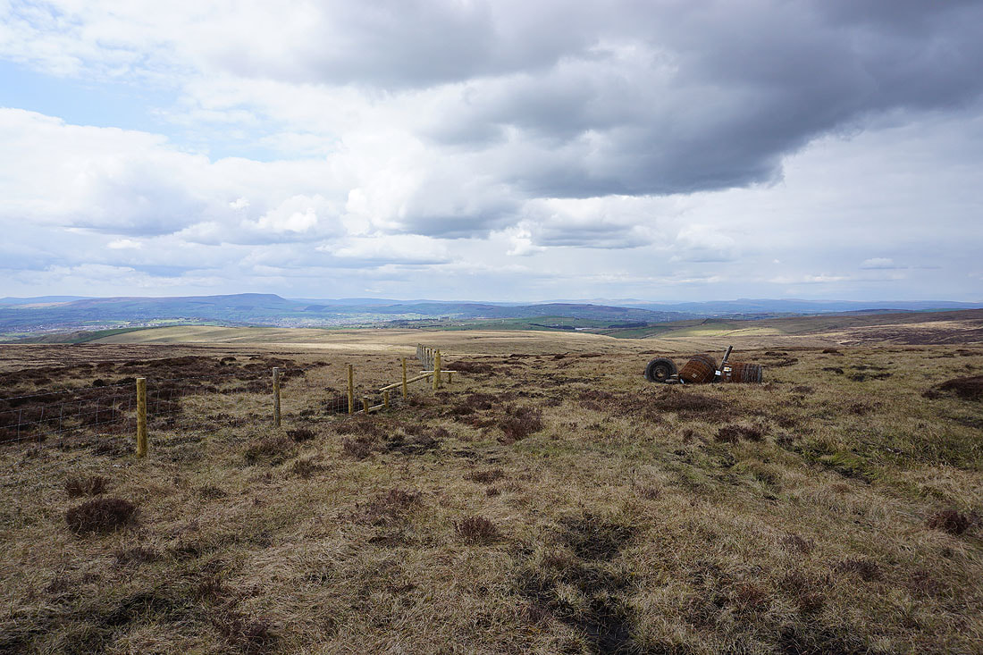
The southern end of Boulsworth Hill
The Thursden Valley below and Pendle Hill as I follow the Pennine Bridleway north...
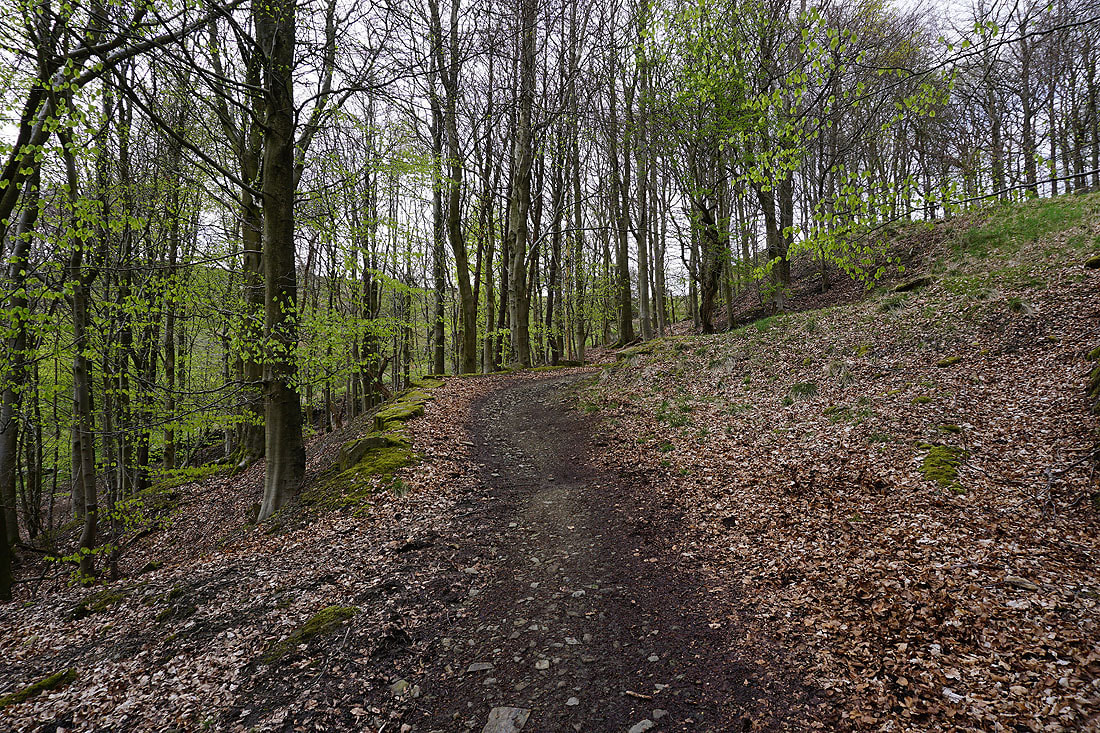
The bright green of beech trees coming into leaf
Sunshine on Deerstone Moor
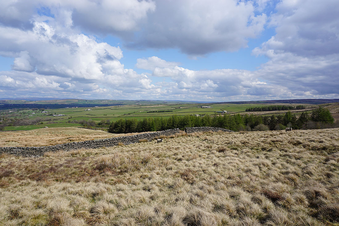
The Thursden Valley as I return to where I'd parked