1st May 2023 - Smearsett Scar and Moughton
Walk Details
Distance walked: 11.9 miles
Total ascent: 1972 ft
OS map used: OL2 - Yorkshire Dales, Southern & Western areas
Time taken: 7 hrs
Route description: Austwick-Wood Lane-Oxenber Wood-Wharfe Wood-Pot Scar-Smearsett Scar-Stainforth Lane-Swarth Moor-Moughton Nab-Moughton Scar-Moughton-Moughton Scars-Sulber Gate-Pennine Bridleway-Long Scar-Thwaite-Norber-Thwaite Lane-Town Head Farm-Austwick
I decided to head to the Yorkshire Dales for my walk this Bank Holiday weekend, and since the forecast is for a mostly cloudy day with a good chance of the top of the high fells being covered, I needed a route that would keep to a fairly low level. In the end I came up with a walk that took in a circuit of Crummack Dale from Austwick. This included Pot Scar, Smearsett Scar, Moughton, and Thwaite, as well as Oxenber and Wharfe Woods. I included Oxenber and Wharfe Woods to see how the bluebells there were doing. There's been a lot of warm and dry weather in recent weeks, and I didn't want to miss out on a bluebell walk this year because I hadn't checked. I needn't have worried. There were a few in bloom, but the majority were probably a couple of weeks away, the middle of May, when they're usually at their best. I set off from Austwick under cloudy skies with just the occasional glimpse of the sun, and it stayed that way until the middle of the afternoon when the cloud broke up to give some sunny spells. It meant that I had the best conditions of the day for taking in the view across Crummack Dale from Thwaite.
After parking next to Austwick Bridge in Austwick I took the track of Wood Lane east until I reached a public footpath on the right, which I took to make my way across access land through Oxenber Wood and Wharfe Wood to exit Wharfe Wood at its southeastern corner. From here I took a public footpath east towards Hargreaves Barn and Stainforth Lane, before leaving it to make my way up to the top of Pot Scar, east to the top of Smearsett Scar, then north back to the public footpath, which I followed east to Hargreaves Barn and Stainforth Lane. I then walked north along Stainforth Lane until I reached a T-junction on Swarth Moor, where I took the bridleway onto Swarth Moor and then the footpath above Dry Rigg Quarry up to Moughton Nab (a bench here was a good place to take a break for lunch) and then Moughton Scar. I then made my way north across the limestone pavement of Moughton to eventually arrive at the trig point. More limestone pavement was crossed to Moughton Scars and then to Sulber Gate. It was now time to head south, back towards Austwick. I started with taking the Pennine Bridleway to Long Scar. I left it here for the hill of Thwaite, and when I reached its southern end I made my way down through the Norber erratics and a public footpath through fields to the track of Thwaite Lane. After a brief walk east along Thwaite Lane, crossing Crummack Lane, I took a public footpath on the right down to Town Head Farm. From Town Head Farm I walked down Crummack Lane and through Austwick to where I was parked.
Total ascent: 1972 ft
OS map used: OL2 - Yorkshire Dales, Southern & Western areas
Time taken: 7 hrs
Route description: Austwick-Wood Lane-Oxenber Wood-Wharfe Wood-Pot Scar-Smearsett Scar-Stainforth Lane-Swarth Moor-Moughton Nab-Moughton Scar-Moughton-Moughton Scars-Sulber Gate-Pennine Bridleway-Long Scar-Thwaite-Norber-Thwaite Lane-Town Head Farm-Austwick
I decided to head to the Yorkshire Dales for my walk this Bank Holiday weekend, and since the forecast is for a mostly cloudy day with a good chance of the top of the high fells being covered, I needed a route that would keep to a fairly low level. In the end I came up with a walk that took in a circuit of Crummack Dale from Austwick. This included Pot Scar, Smearsett Scar, Moughton, and Thwaite, as well as Oxenber and Wharfe Woods. I included Oxenber and Wharfe Woods to see how the bluebells there were doing. There's been a lot of warm and dry weather in recent weeks, and I didn't want to miss out on a bluebell walk this year because I hadn't checked. I needn't have worried. There were a few in bloom, but the majority were probably a couple of weeks away, the middle of May, when they're usually at their best. I set off from Austwick under cloudy skies with just the occasional glimpse of the sun, and it stayed that way until the middle of the afternoon when the cloud broke up to give some sunny spells. It meant that I had the best conditions of the day for taking in the view across Crummack Dale from Thwaite.
After parking next to Austwick Bridge in Austwick I took the track of Wood Lane east until I reached a public footpath on the right, which I took to make my way across access land through Oxenber Wood and Wharfe Wood to exit Wharfe Wood at its southeastern corner. From here I took a public footpath east towards Hargreaves Barn and Stainforth Lane, before leaving it to make my way up to the top of Pot Scar, east to the top of Smearsett Scar, then north back to the public footpath, which I followed east to Hargreaves Barn and Stainforth Lane. I then walked north along Stainforth Lane until I reached a T-junction on Swarth Moor, where I took the bridleway onto Swarth Moor and then the footpath above Dry Rigg Quarry up to Moughton Nab (a bench here was a good place to take a break for lunch) and then Moughton Scar. I then made my way north across the limestone pavement of Moughton to eventually arrive at the trig point. More limestone pavement was crossed to Moughton Scars and then to Sulber Gate. It was now time to head south, back towards Austwick. I started with taking the Pennine Bridleway to Long Scar. I left it here for the hill of Thwaite, and when I reached its southern end I made my way down through the Norber erratics and a public footpath through fields to the track of Thwaite Lane. After a brief walk east along Thwaite Lane, crossing Crummack Lane, I took a public footpath on the right down to Town Head Farm. From Town Head Farm I walked down Crummack Lane and through Austwick to where I was parked.
Route map
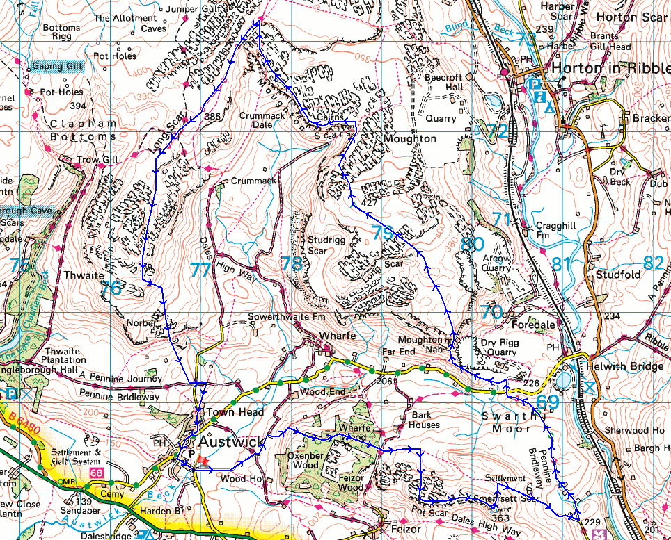
© Crown copyright. All rights reserved. License number PU 100034184.

Austwick Bridge over Austwick Beck as I set off
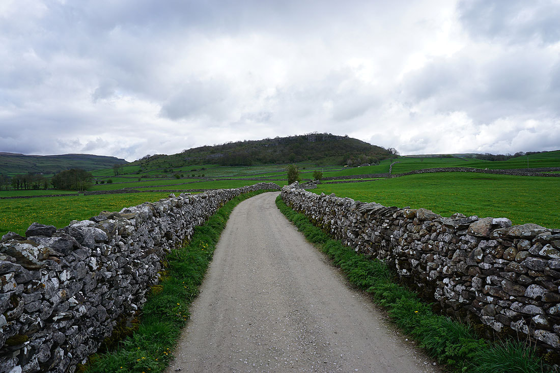
Oxenber Wood on the hillside ahead as I walk along Wood Lane
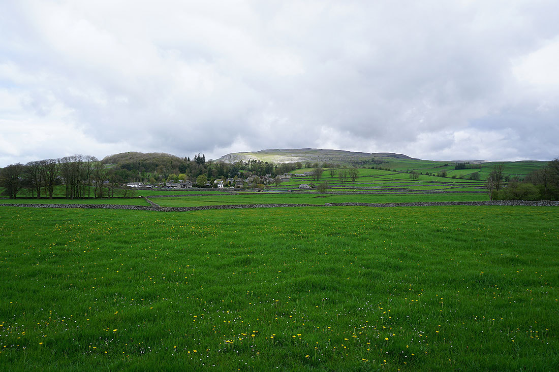
Austwick backed by Thwaite from Wood Lane..
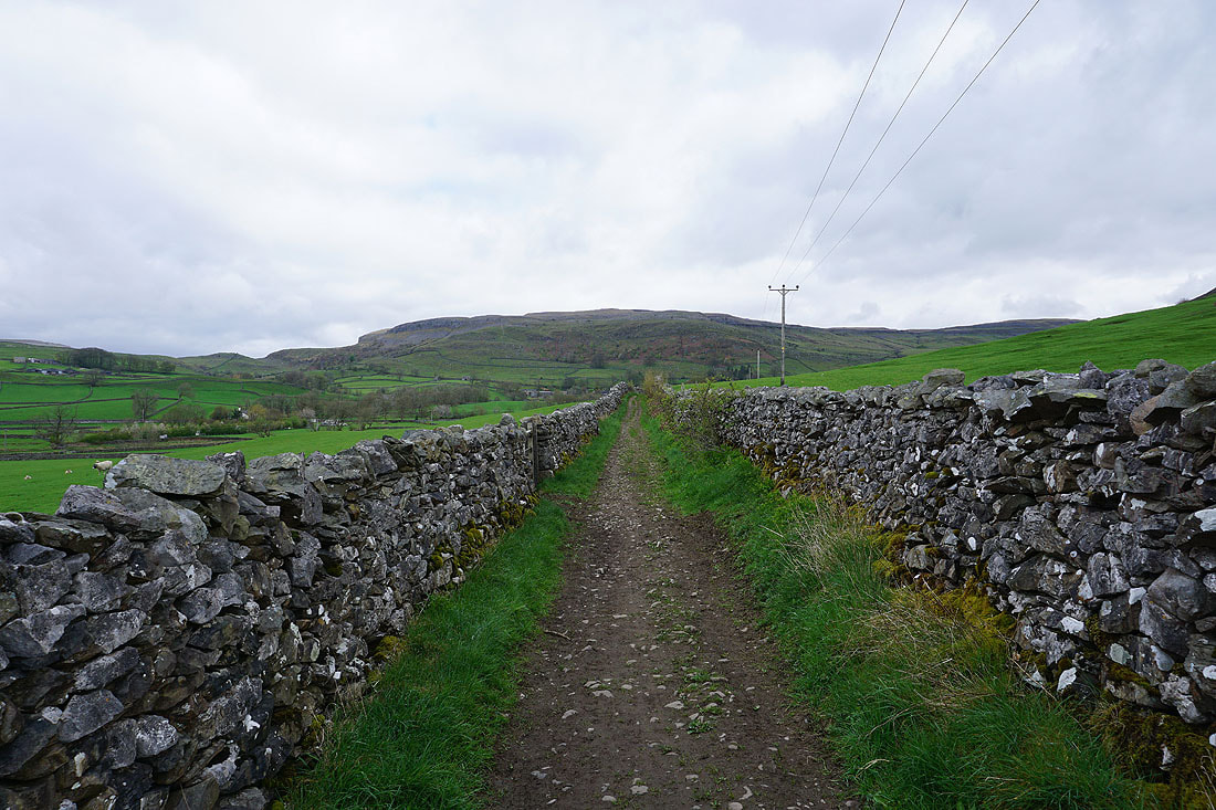
..and the hill of Moughton ahead
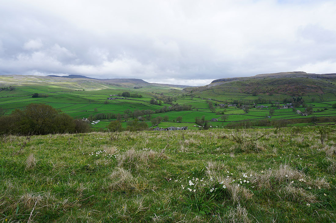
A view of Crummack Dale as I leave Wood Lane for Oxenber Wood, with a scattering of wood anemones on the hillside in front of me
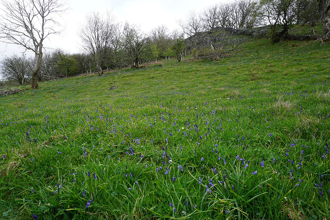
There are a few bluebells beginning to flower, but it's clear that I'm a bit early
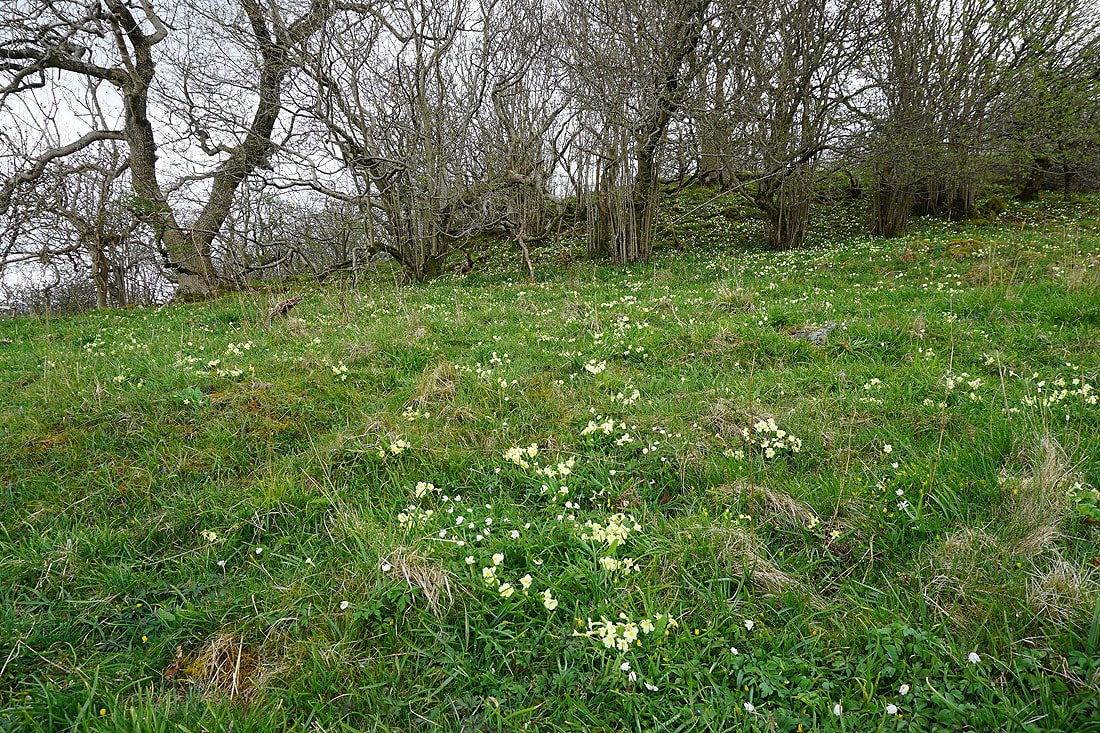
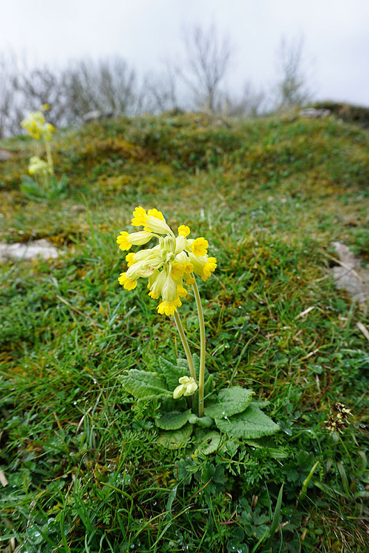
Plenty of cowslips in bloom though
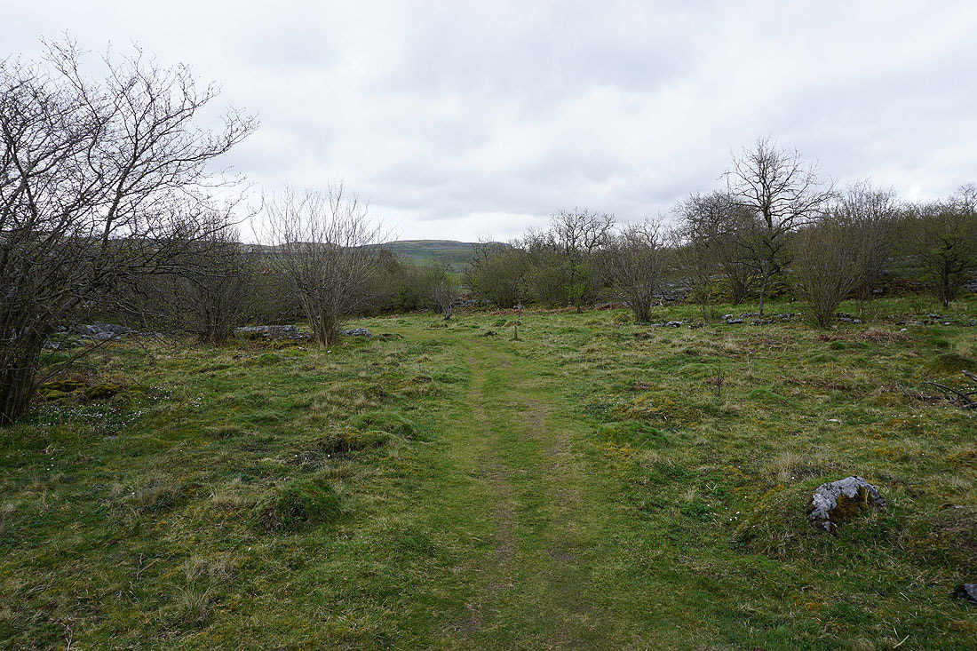
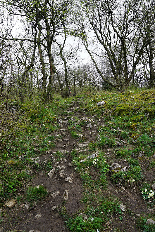
Following the footpath through trees and limestone pavement to Wharfe Wood..
|
|
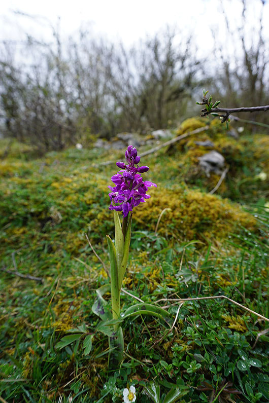
Early purple orchids, cowslips, and both...
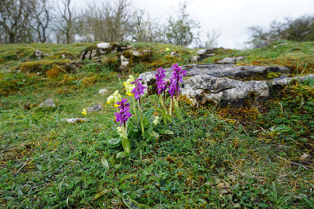
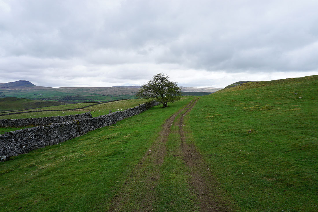
After exiting Wharfe Wood I take the public footpath east across the fields to the north of Pot Scar to Stainforth Lane
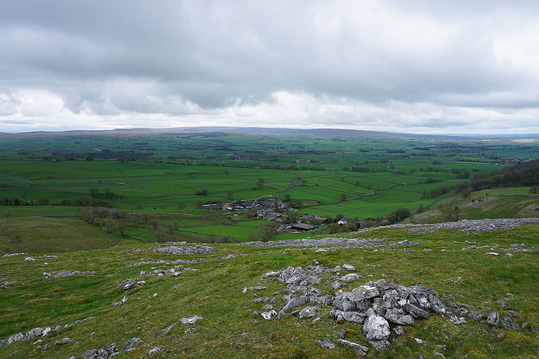
That path was left for a short ascent to the top of Pot Scar, where I'm greeted with a view of the hamlet of Feizor below, and the Forest of Bowland in the distance
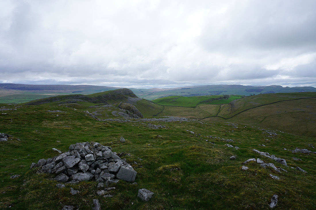
Smearsett Scar is just to the east
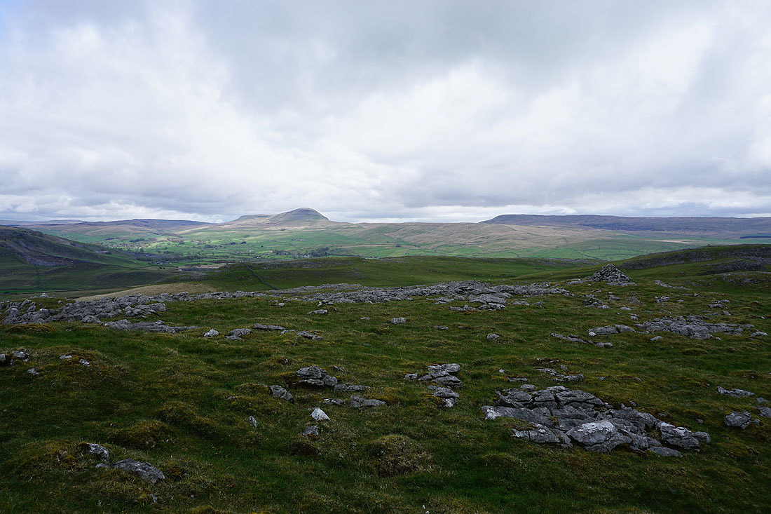
Penyghent and Fountains Fell on the other side of Ribblesdale
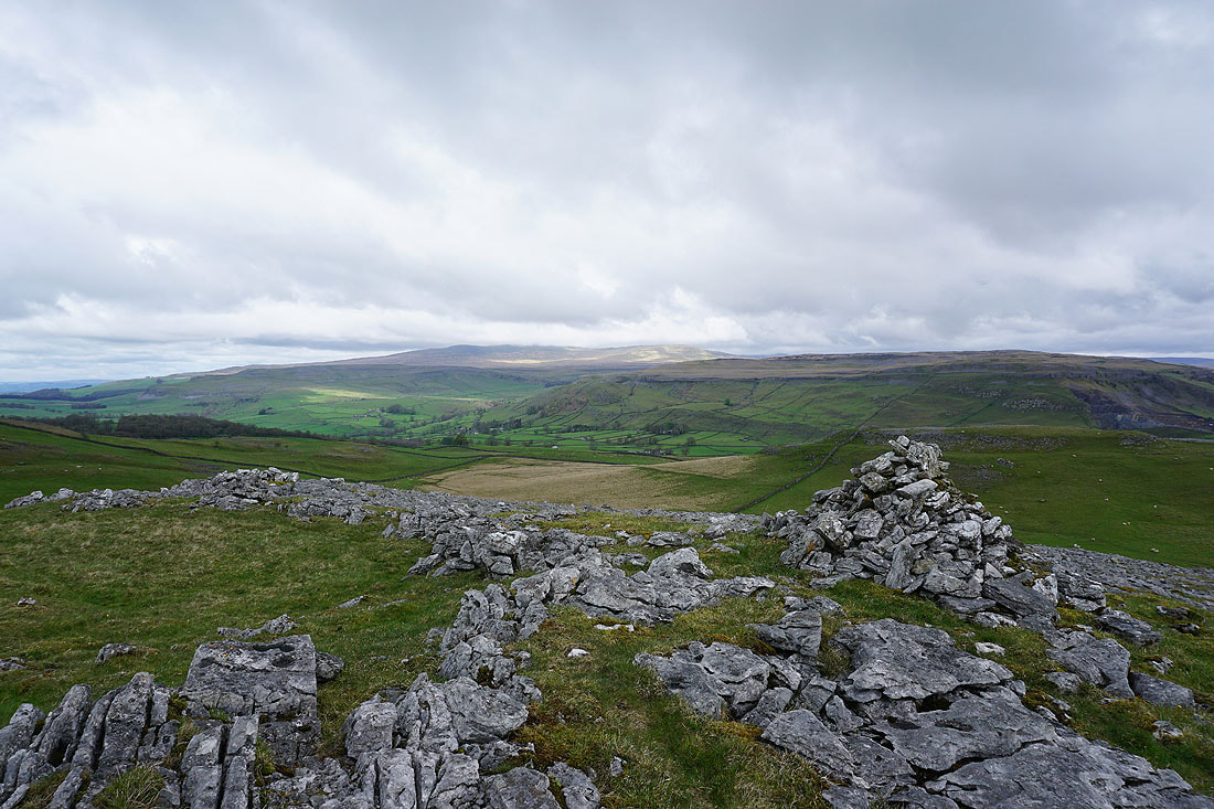
A cairn between Pot Scar and Smearsett Scar provides a good viewpoint for Crummack Dale, a cloud topped Ingleborough, and Moughton
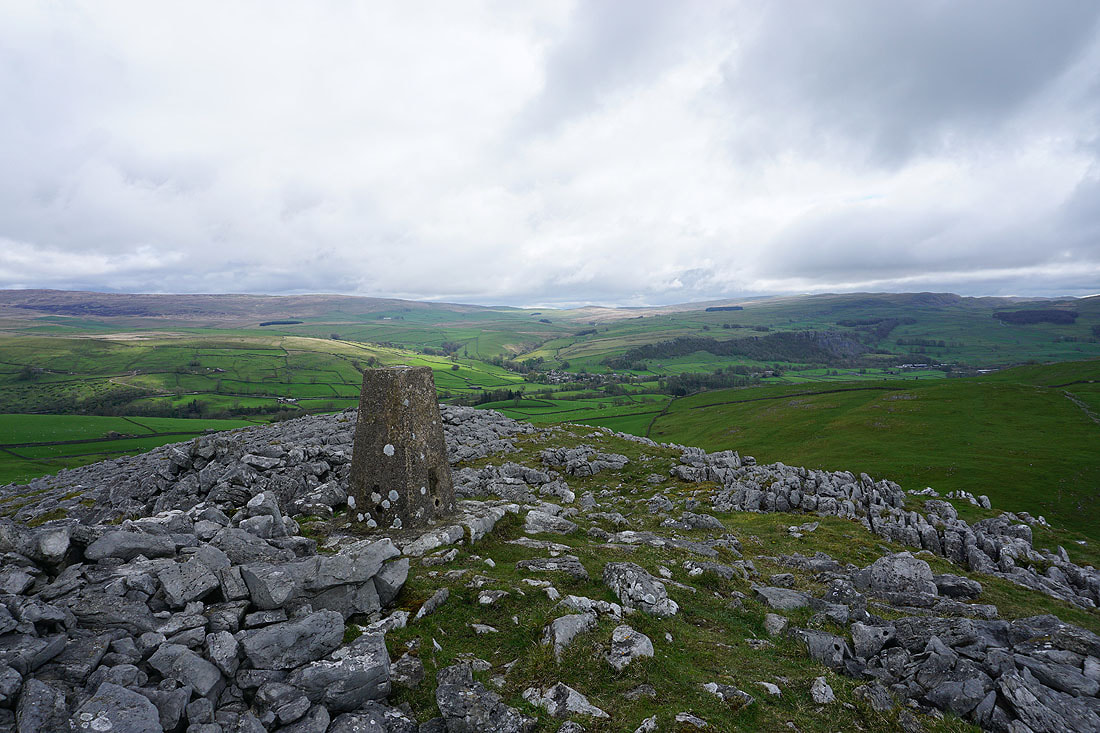
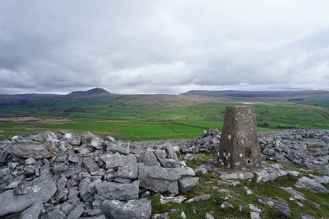
At the trig point on Smearsett Scar. Looking across Ribblesdale to Stainforth.
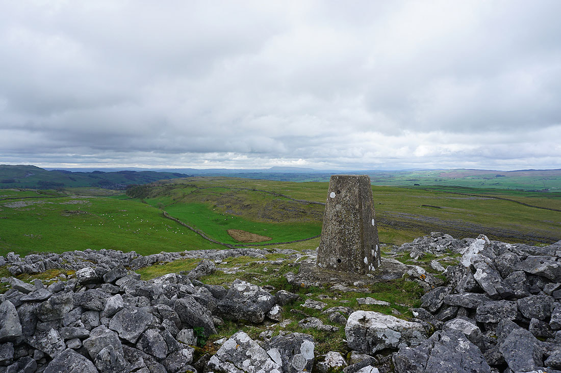
Pendle Hill is in the distance to its left
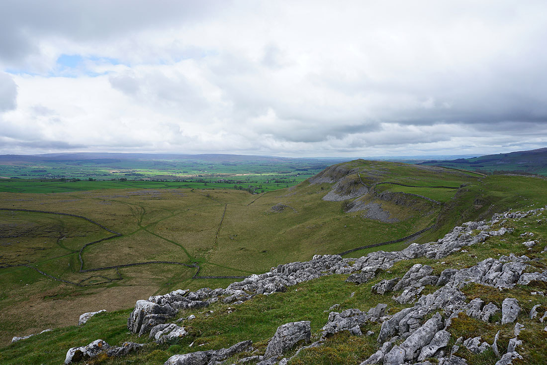
Looking west to Pot Scar
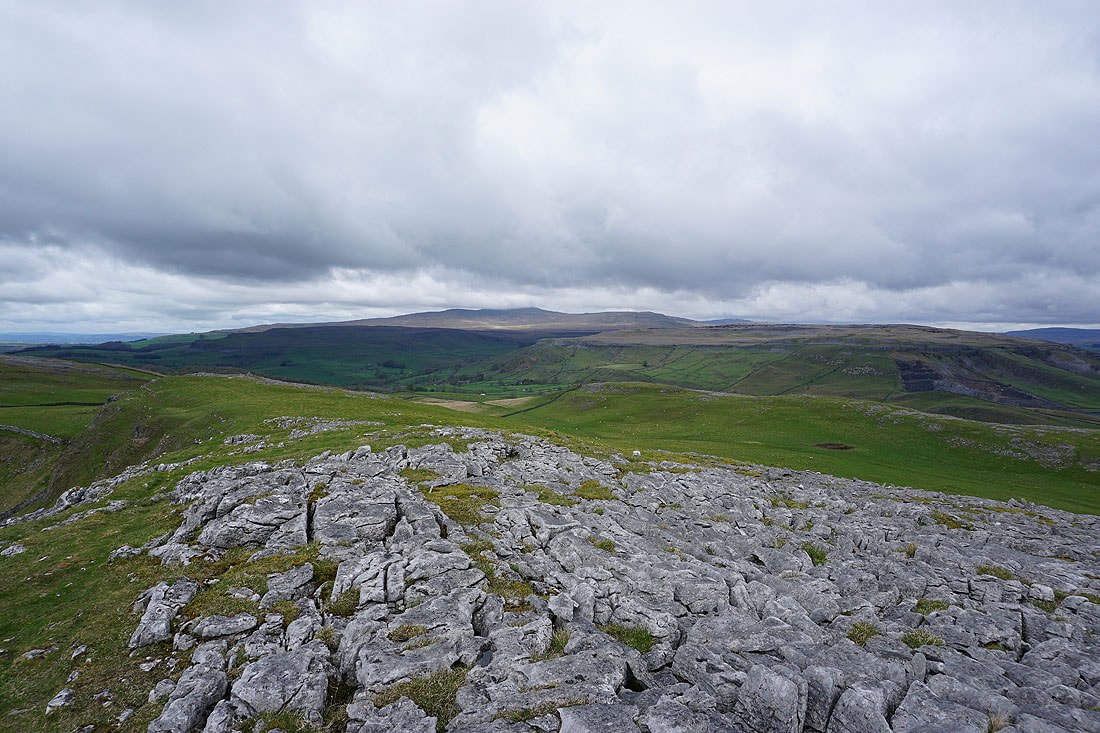
Crummack Dale, Ingleborough and Moughton
Penyghent and Fountains Fell
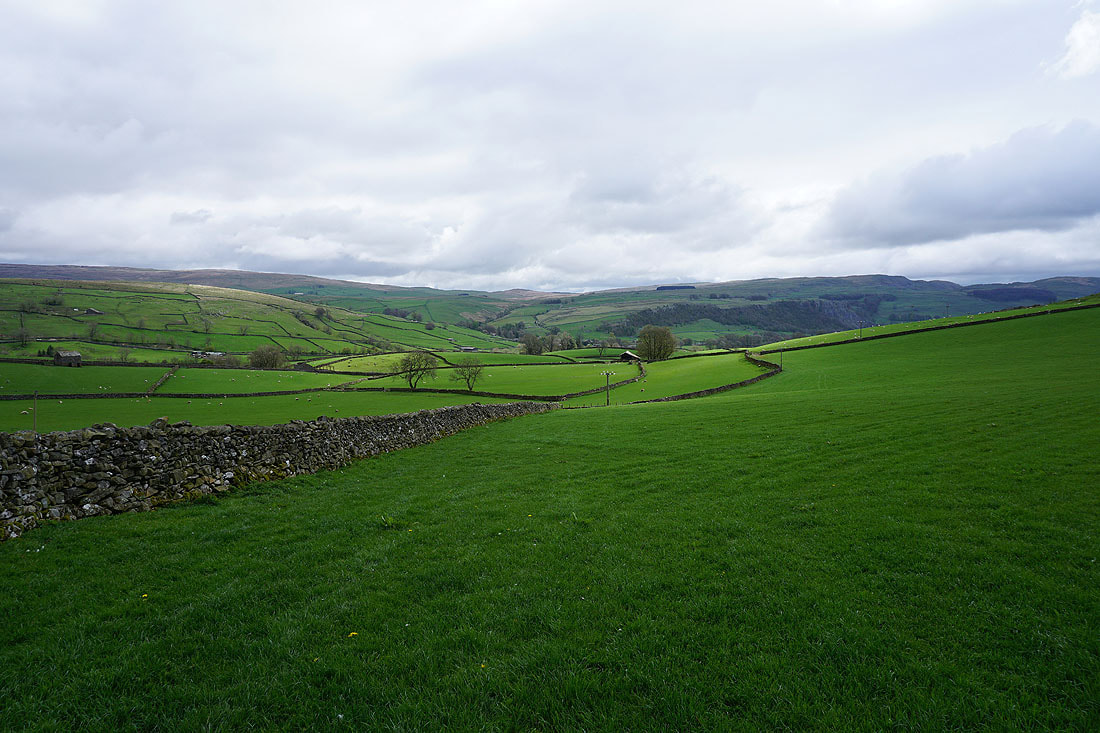
From Smearsett Scar I've returned to the public footpath to follow it east to Stainforth Lane
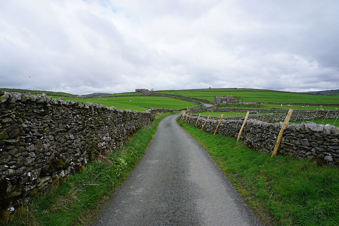
Walking north along Stainforth Lane to Swarth Moor
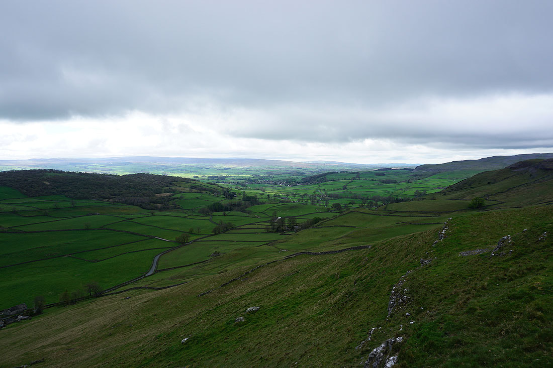
Wharfe Wood, Oxenber Wood, and Austwick with the Forest of Bowland in the distance as I head up Moughton Nab to Moughton Scar
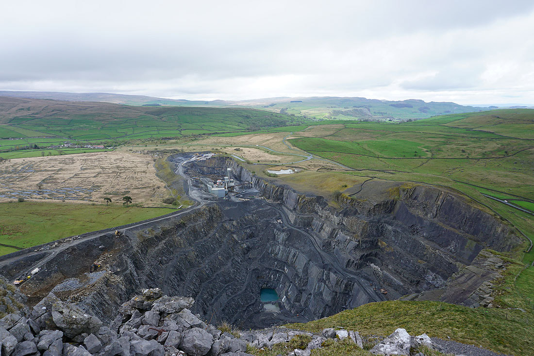
Dry Rigg Quarry from Moughton Nab
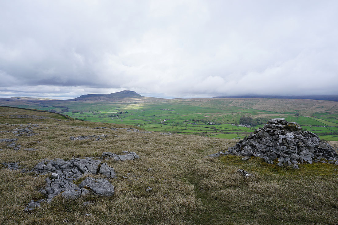
Looking across Ribblesdale to Penyghent and a cloud topped Fountains Fell from Moughton Scar
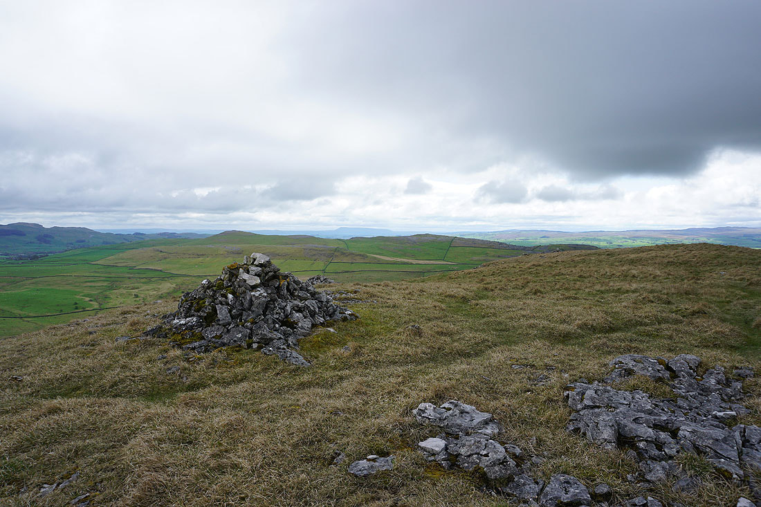
Pendle Hill in the distance behind the Smearsett Scar to Pot Scar ridge
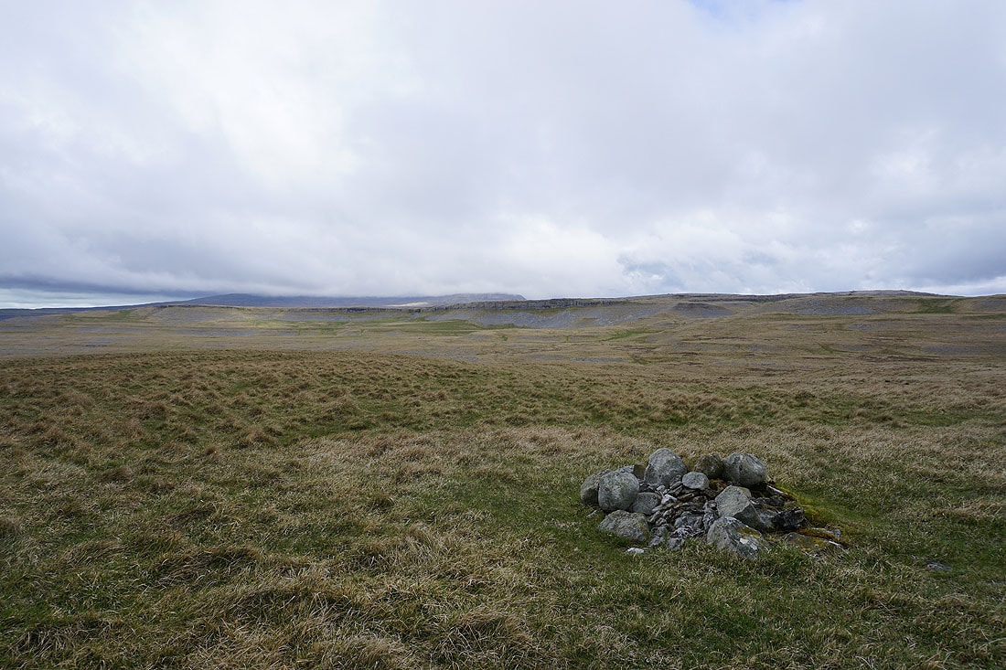
Ingleborough in the distance behind Long Scar
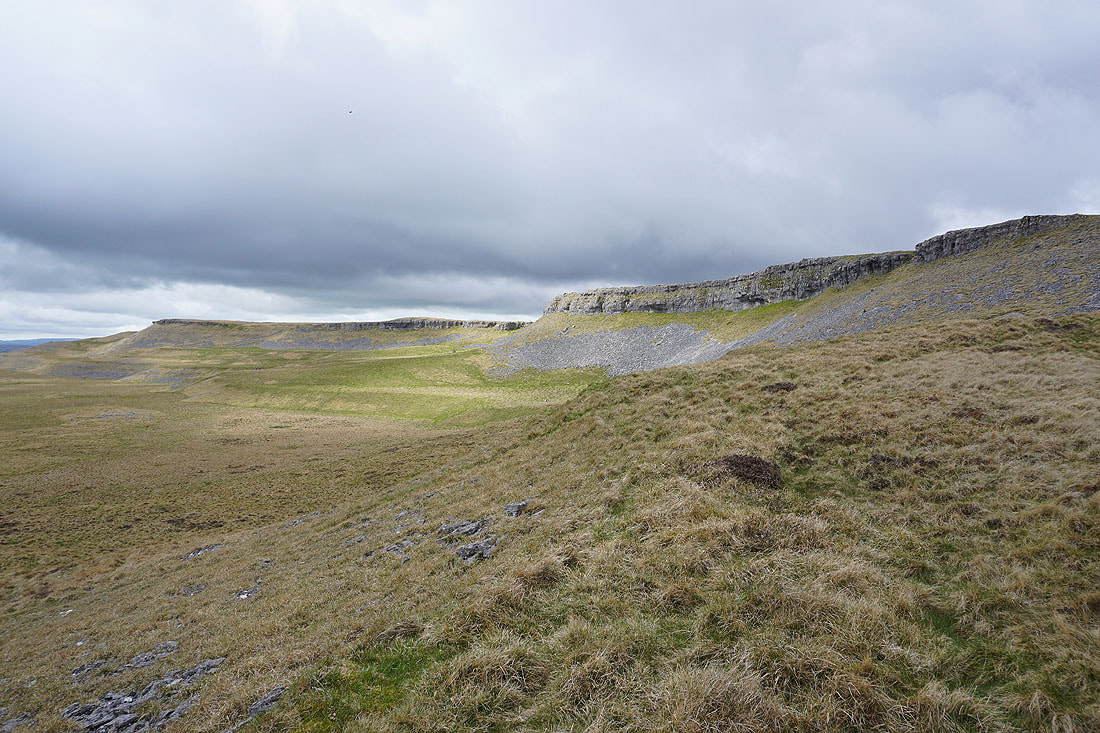
A brief bit of sunshine brightens up the limestone of Long Scar
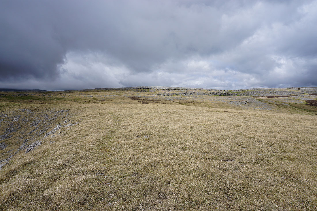
and the limestone pavement on Moughton above it
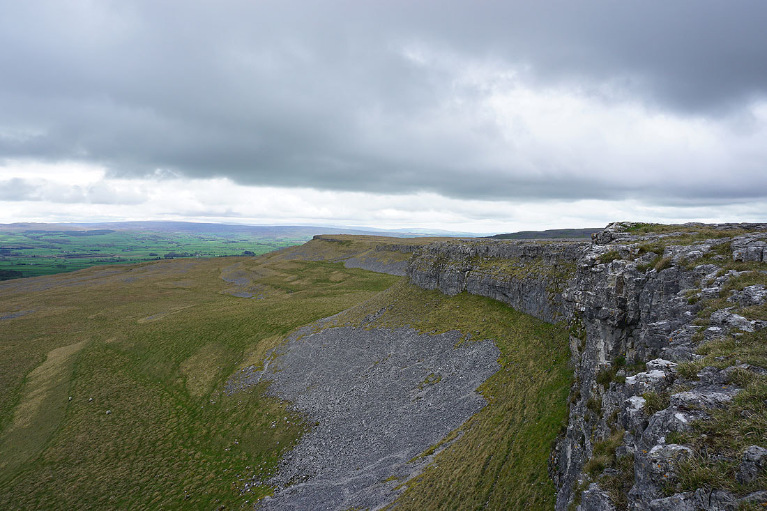
On Long Scar
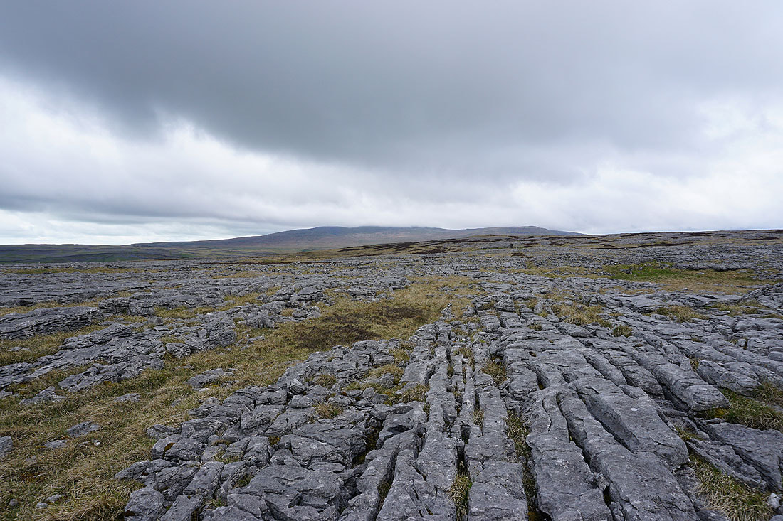
Limestone pavement and a cloud topped Ingleborough
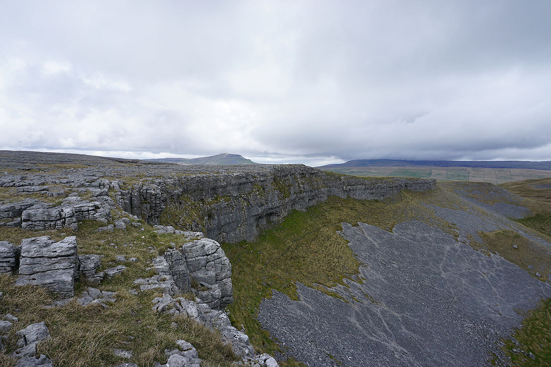
Penyghent and Fountains Fell from Long Scar
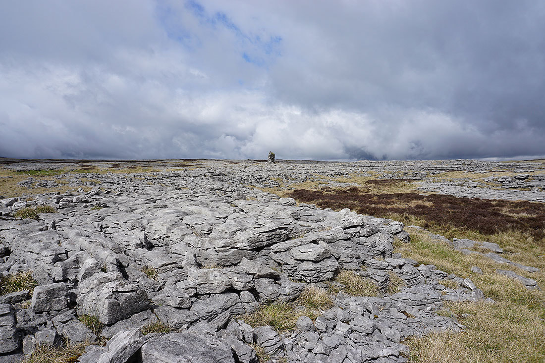
Passing this cairn means that I'm heading in the right direction to reach the trig point
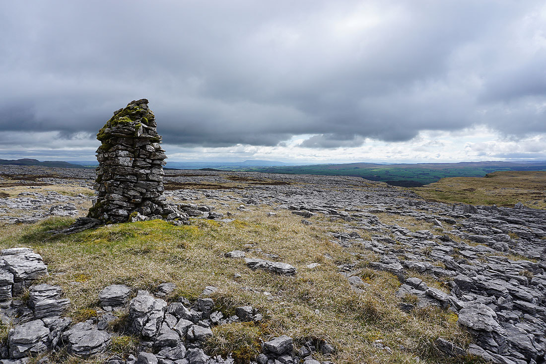
Pendle Hill in the distance as I pass the cairn..
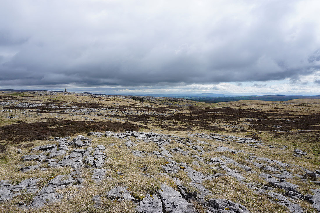
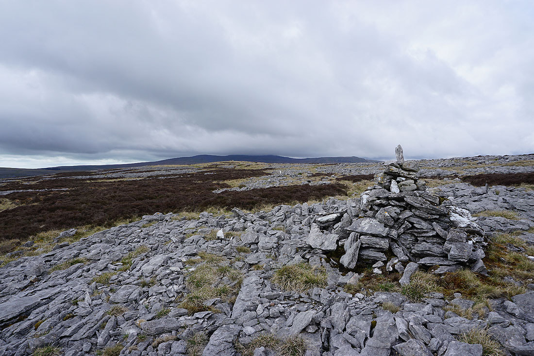
Passing another cairn and I can make out the trig point on the crest ahead
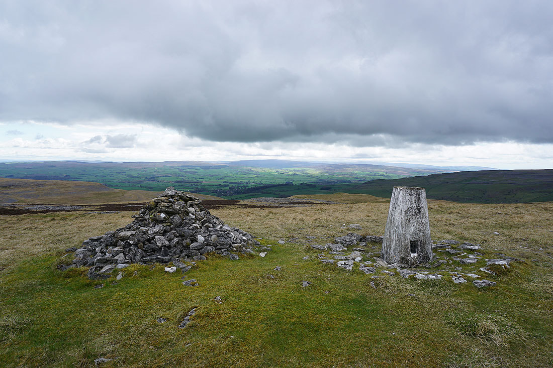
The Forest of Bowland in the distance as I reach the trig point on Moughton
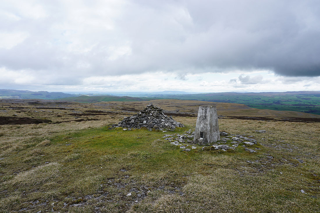
Pendle Hill in the distance
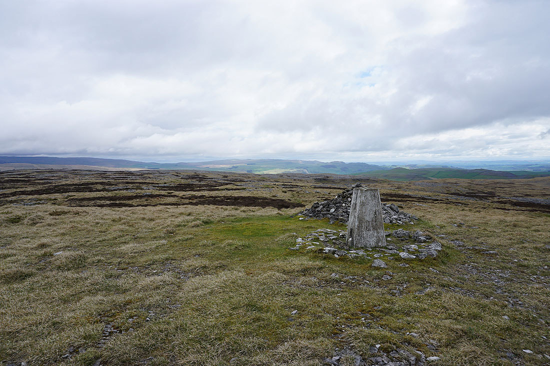
The hills above Settle on the other side of Ribblesdale..
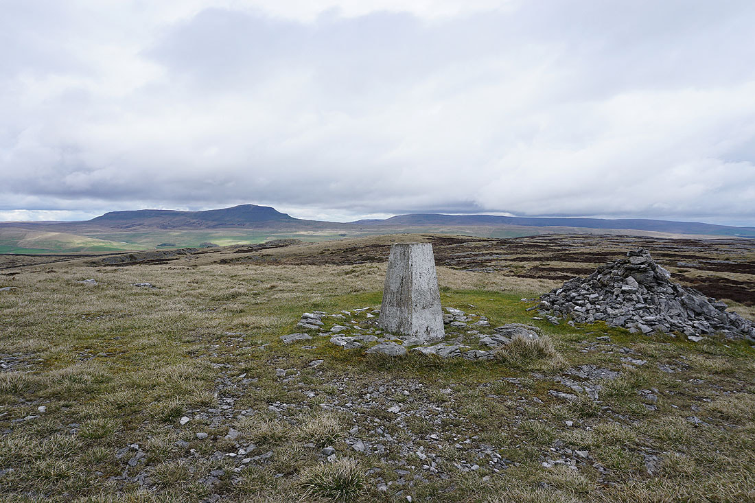
..as well as Penyghent and Fountains Fell
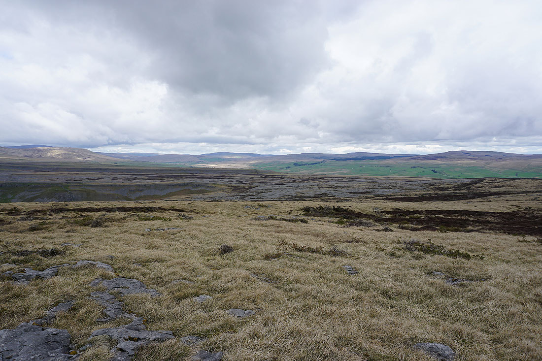
It's a land of limestone pavement as I leave the trig point and head for the edge of Crummack Dale..
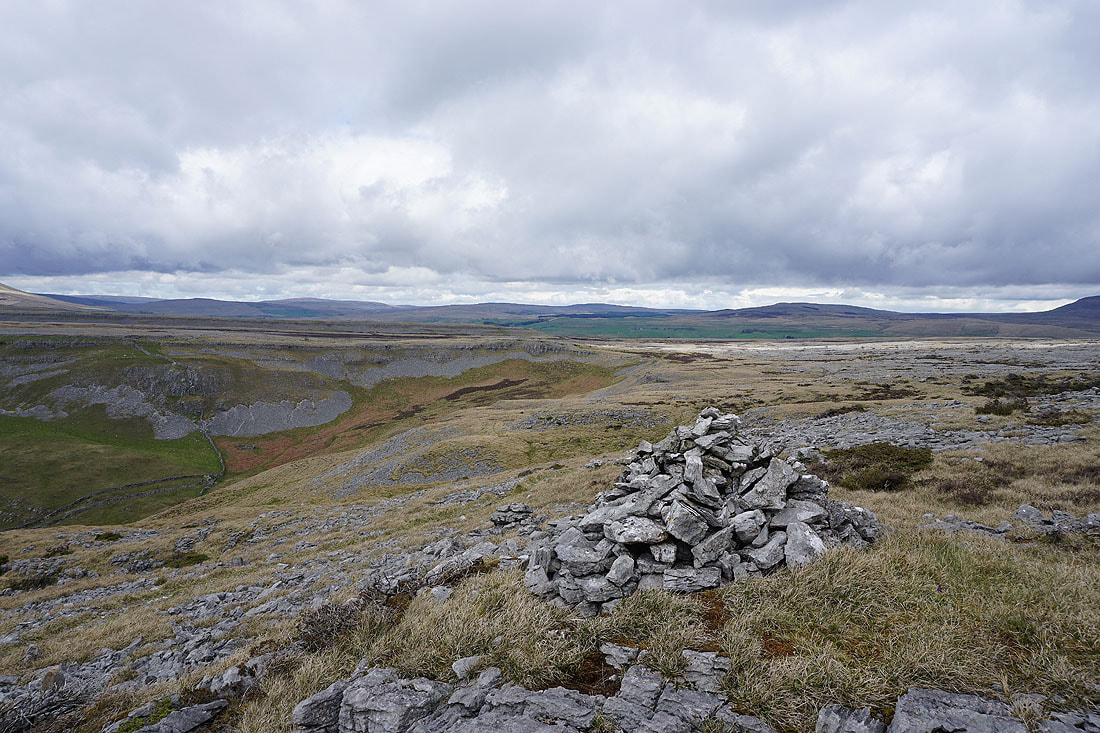
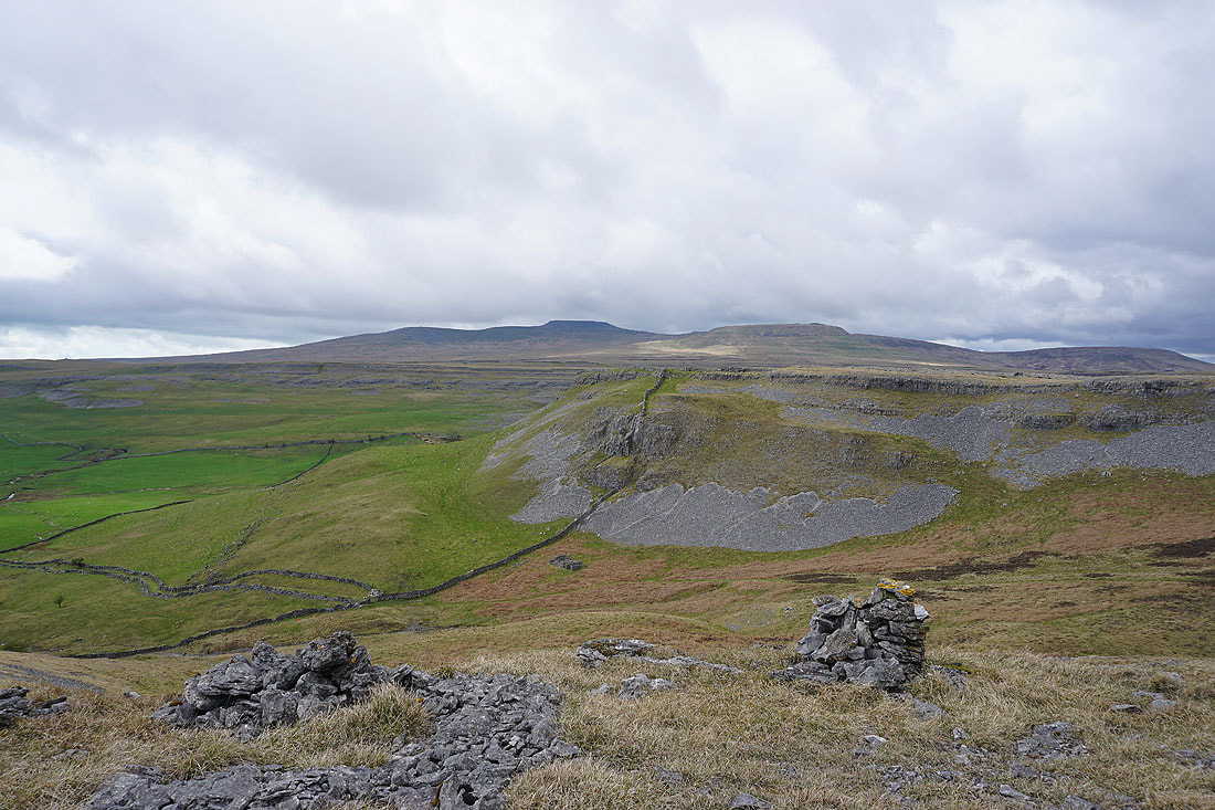
A view of Ingleborough, Moughton Scars and Crummack Dale as I follow the path around the edge of the dale to Moughton Scars..
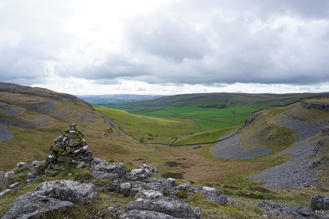
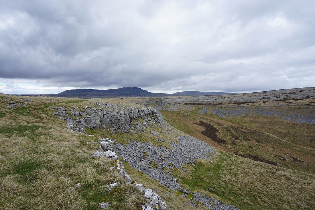
Penyghent and Fountains Fell from Moughton Scars
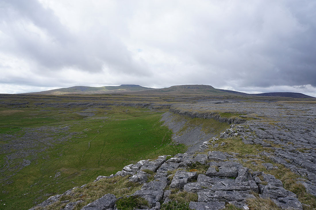
Ingleborough, the head of Crummack Dale, and Simon Fell as I head for Sulber Gate
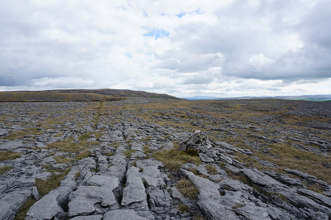
Looking back to Moughton
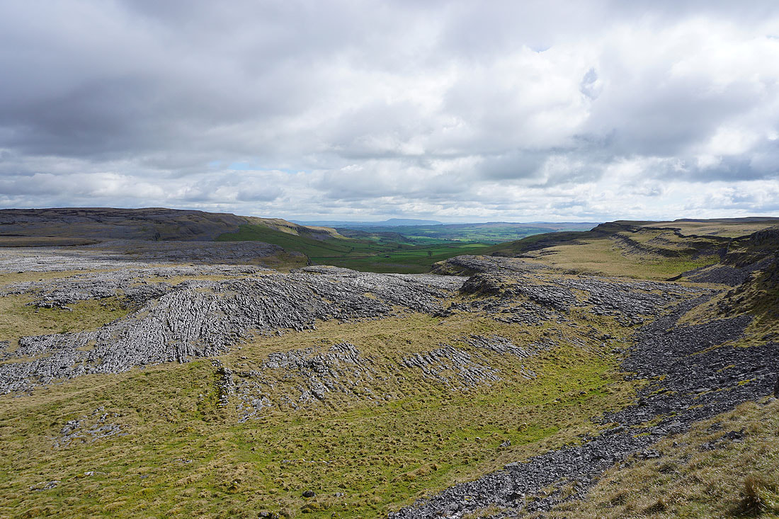
Crummack Dale from Sulber Gate, with Pendle Hill in the distance
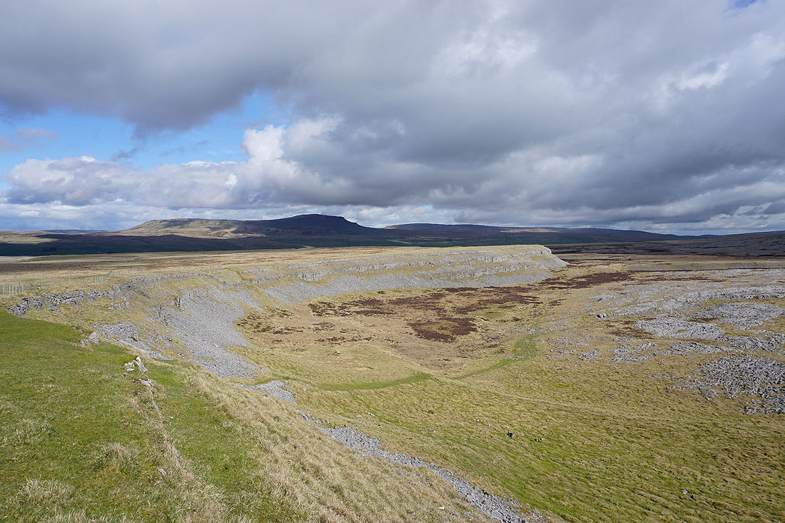
and looking across Thieves Moss to Penyghent and Fountains Fell
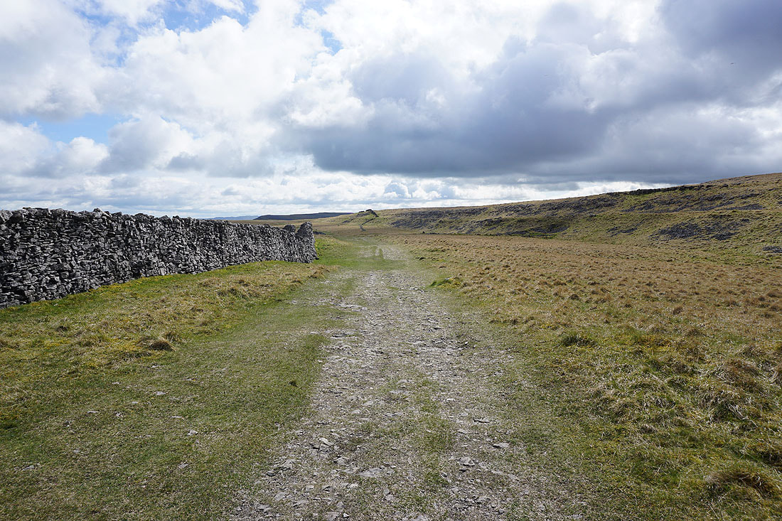
From Sulber Gate I follow the Pennine Bridleway south towards Long Scar
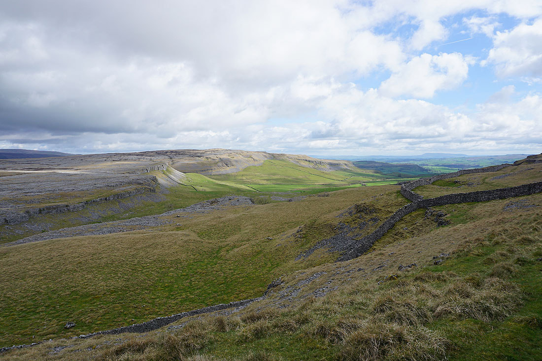
To my left, looking across the head of Crummack Dale to Moughton and Studrigg Scar
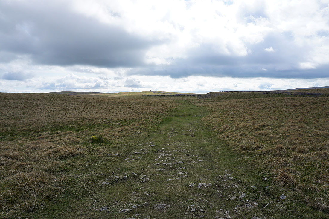
Approaching the huge cairn on Long Scar
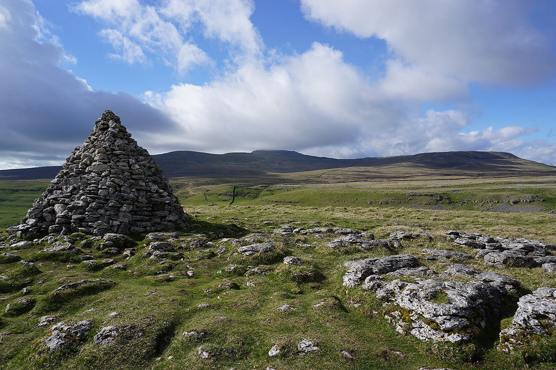
Ingleborough and Simon Fell from Long Scar
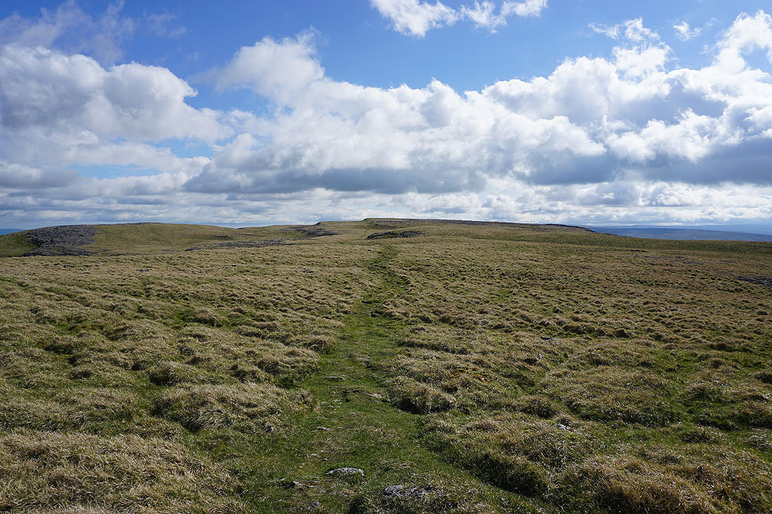
Heading onto the hill of Thwaite
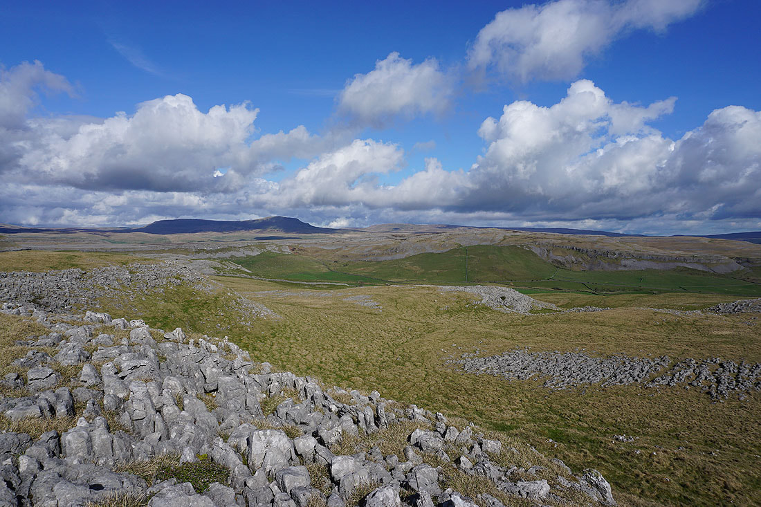
Great views from the eastern edge of Thwaite, with Moughton on the other side of the head of Crummack Dale..
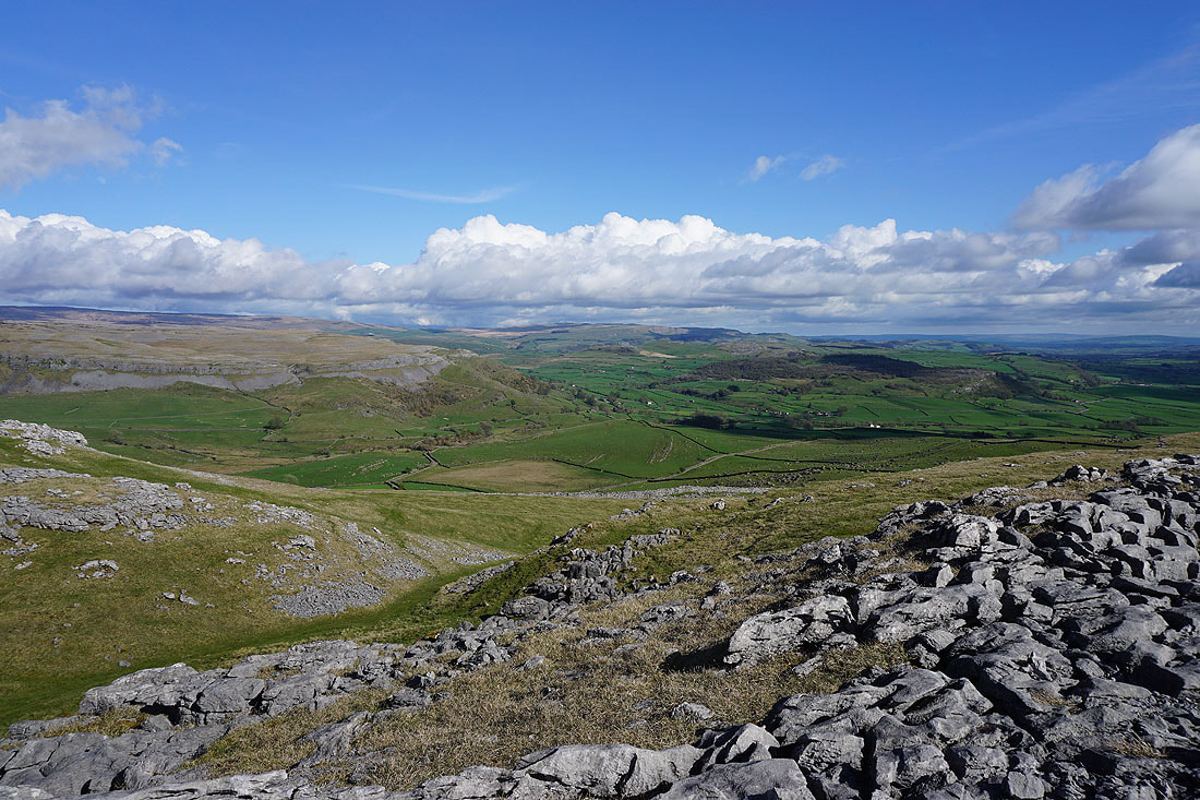
..and of Crummack Dale, Wharfe and Oxenber Woods, with the hills around Settle in the distance
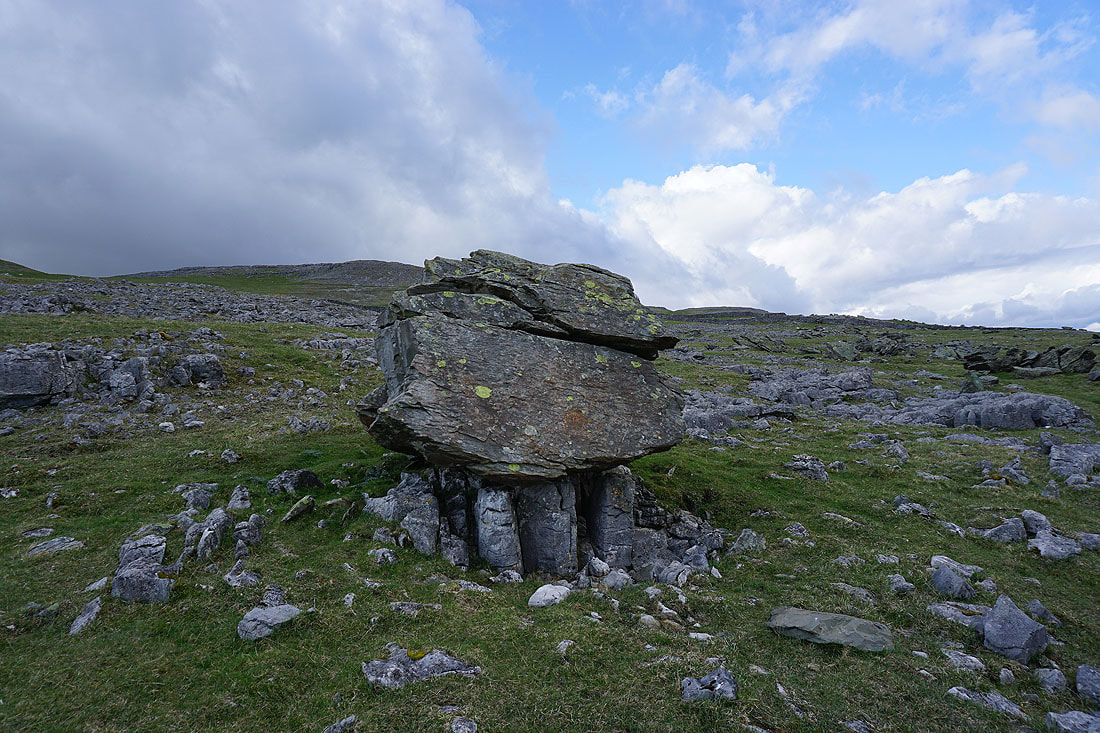
I've left Thwaite for the boulder field of the Norber erratics. Older Silurian rock perched upon younger Carboniferous rock.
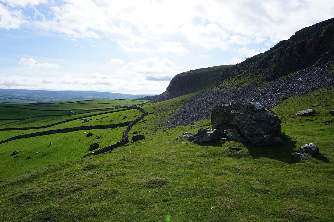
The eastern end of Robin Proctor's Scar as I follow the footpath from Norber down to Thwaite Lane
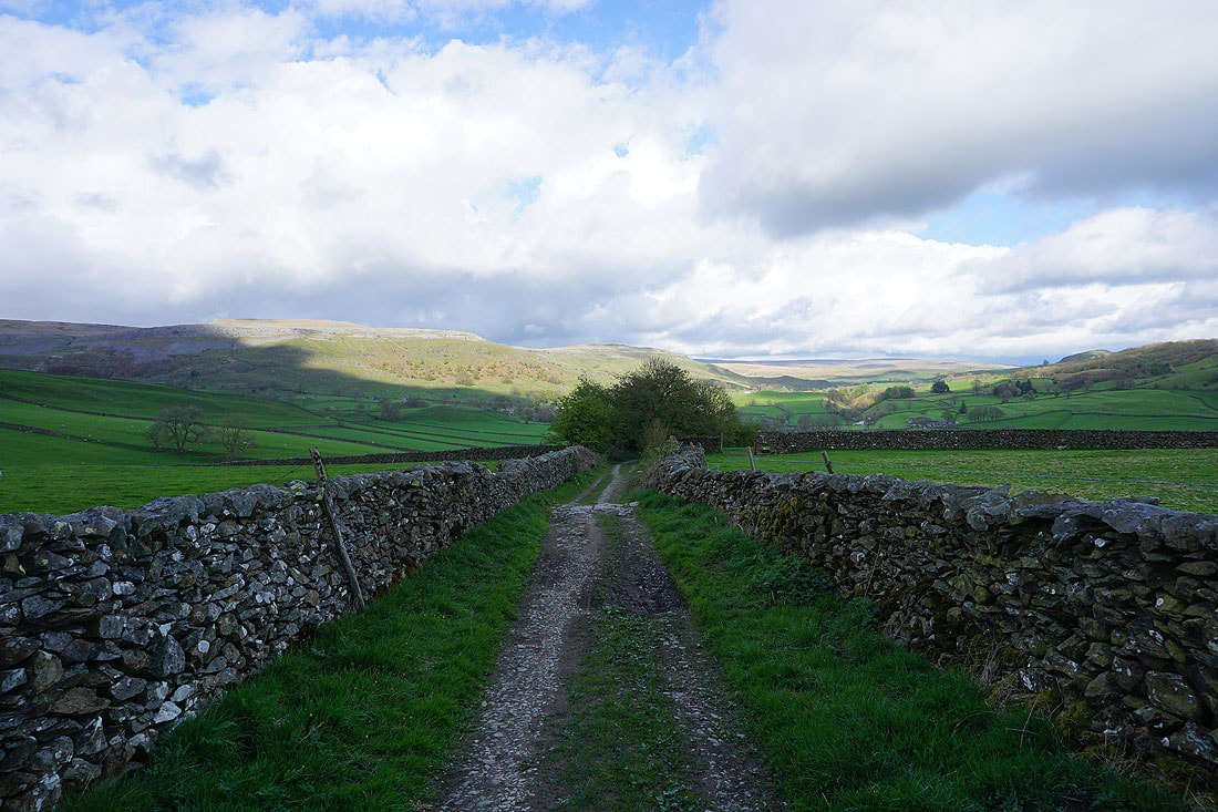
A brief walk east along the track of Thwaite Lane
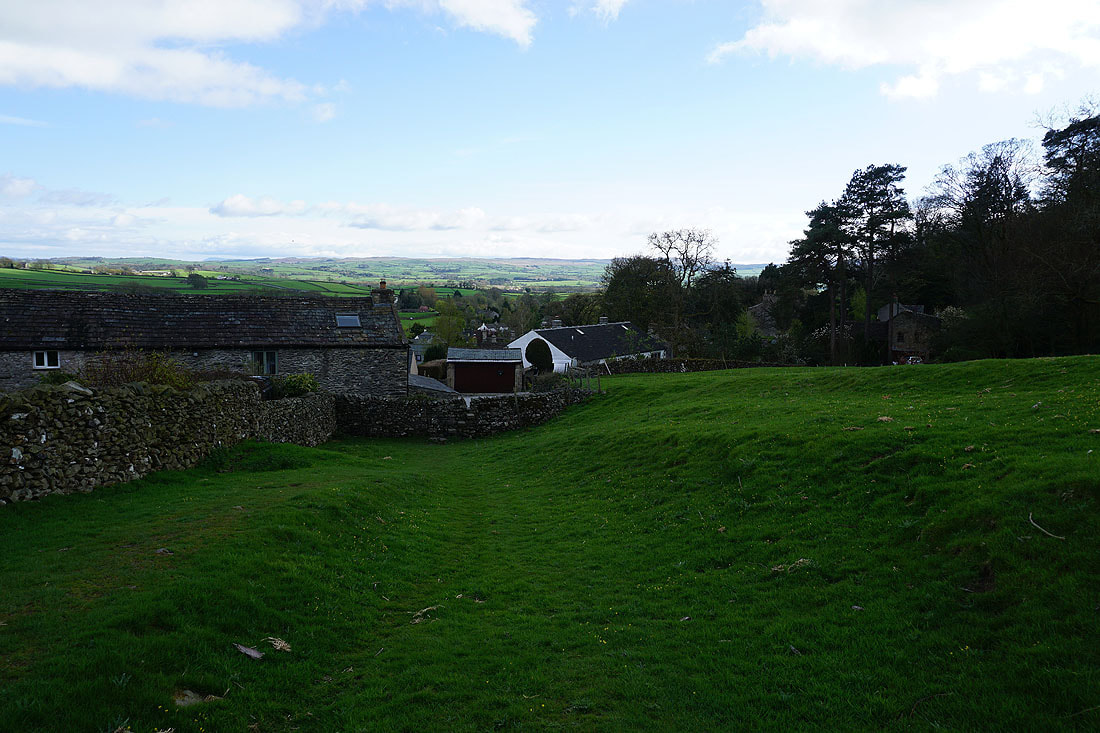
Approaching Town Head Farm at the top of Austwick
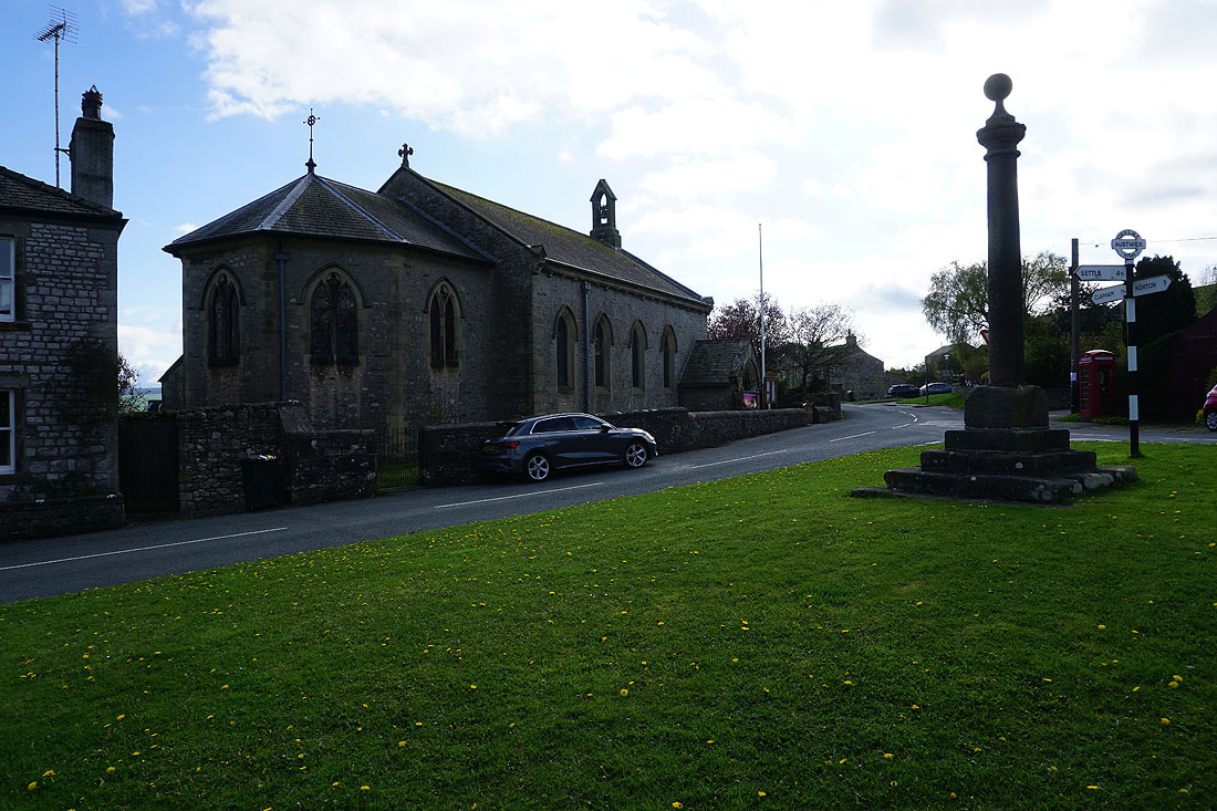
The Church of the Epiphany in Austwick
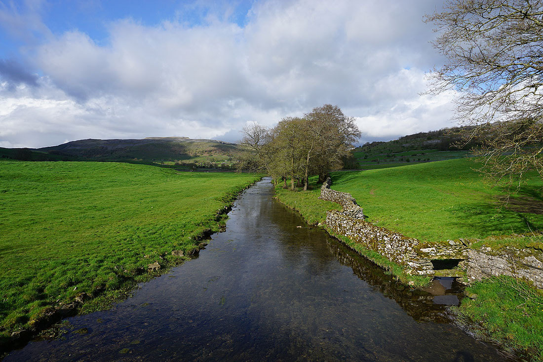
A final shot of Austwick Beck from Austwick Bridge