1st November 2008 - Grange Fell and Great Crag
Walk Details
Distance walked: 6.8 miles
Total ascent: 2185 ft
OS map used: OL4 - The English Lakes, North-western area
Time taken: 6 hrs
Route description: Rosthwaite-Hazel Bank-Puddingstone Bank-Brund Fell-King's How-Watendlath-Great Crag-Dock Tarn-Lingy End-Stonethwaite Bridge-Rosthwaite
This walk from Rosthwaite included bagging the Wainwright of Grange Fell as well as visiting Great Crag.
From the car park I crossed the road and took the footpath past the Hazel Bank hotel to Puddingstone Bank. I then visited the two tops of Grange Fell; Brund Fell and King's How, before retracing my steps and to head down to Watendlath. From there I then took the footpath that heads across to Stonethwaite via Dock Tarn with a visit to the summit of Great Crag on the way. My route back was the descent by Lingy End and Willygrass Gill to Stonethwaite Bridge and back to Rosthwaite.
Route map
© Crown copyright. All rights reserved. License number PU 100034184.
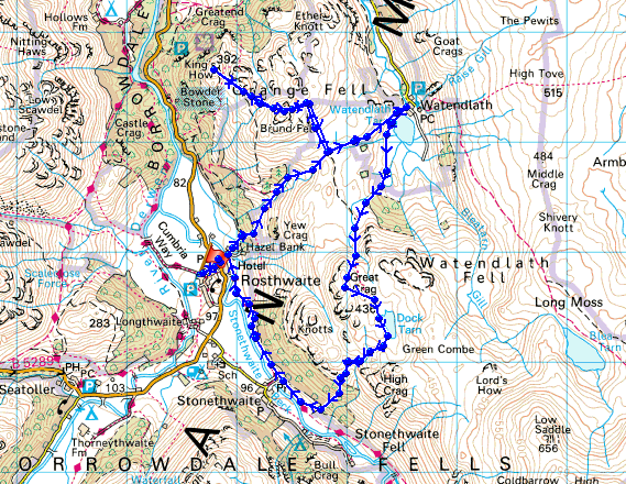
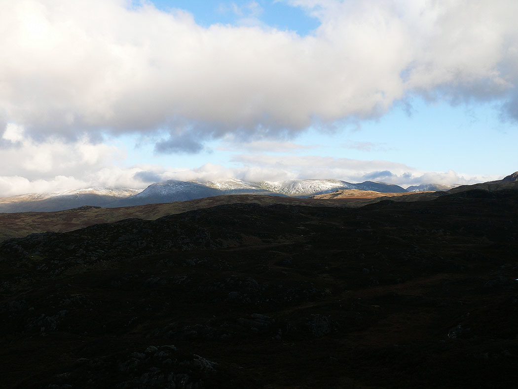
A cloud covered Skiddaw from the top of Brund Fell
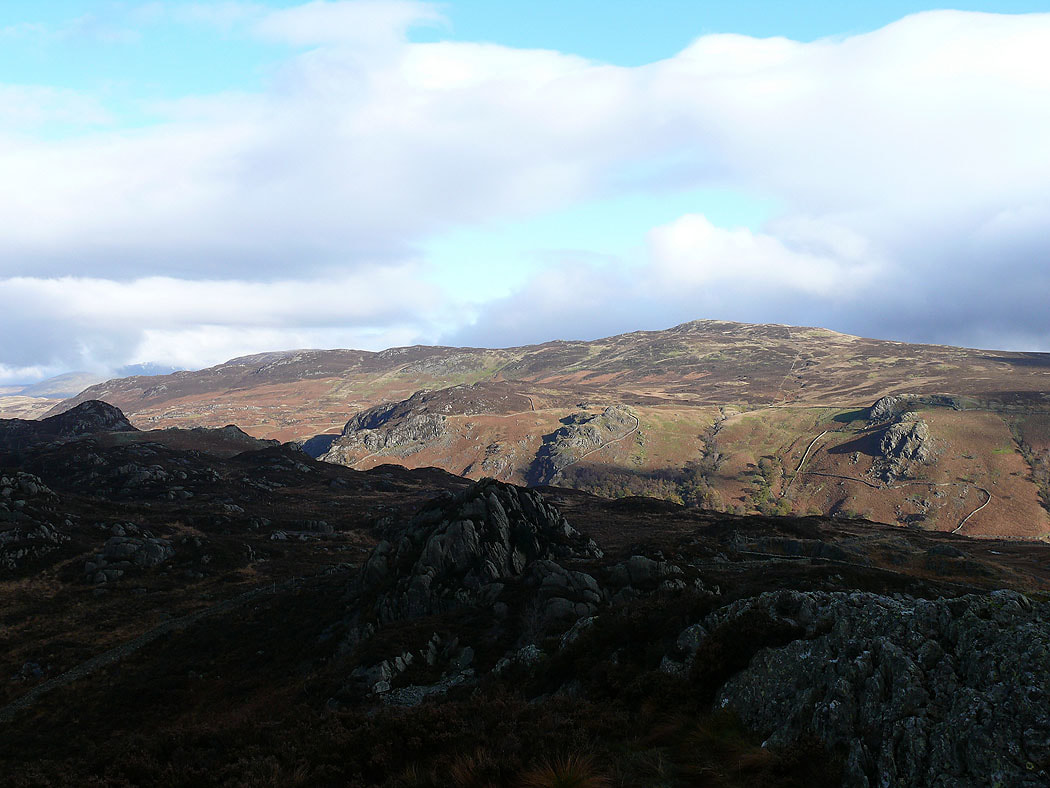
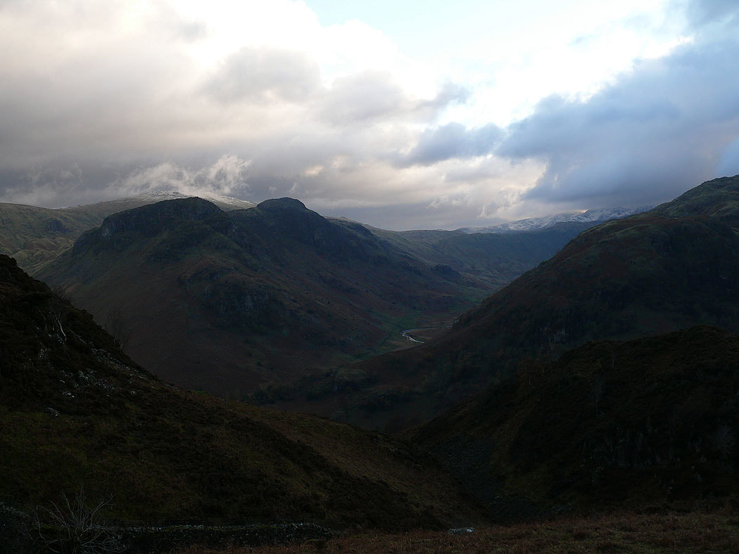
and the view to the summit of Ullscarf
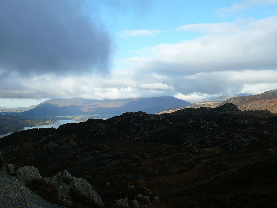
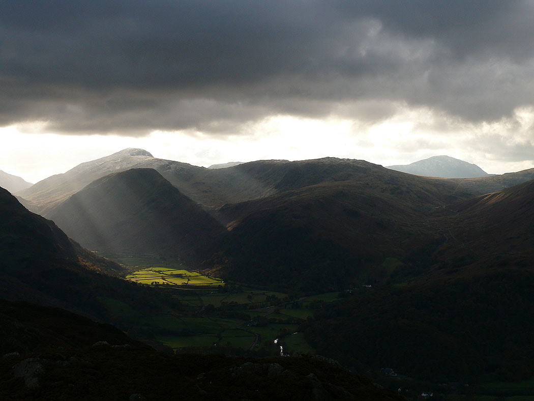
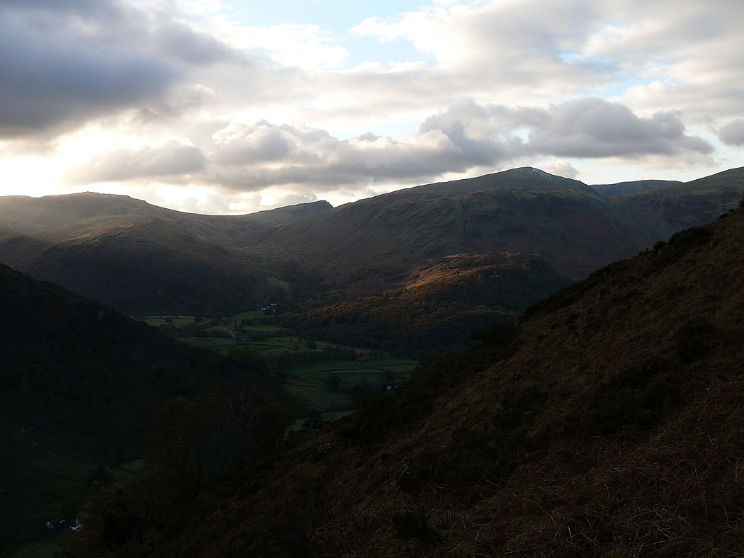
Sunshine on Borrowdale
and on High Seat
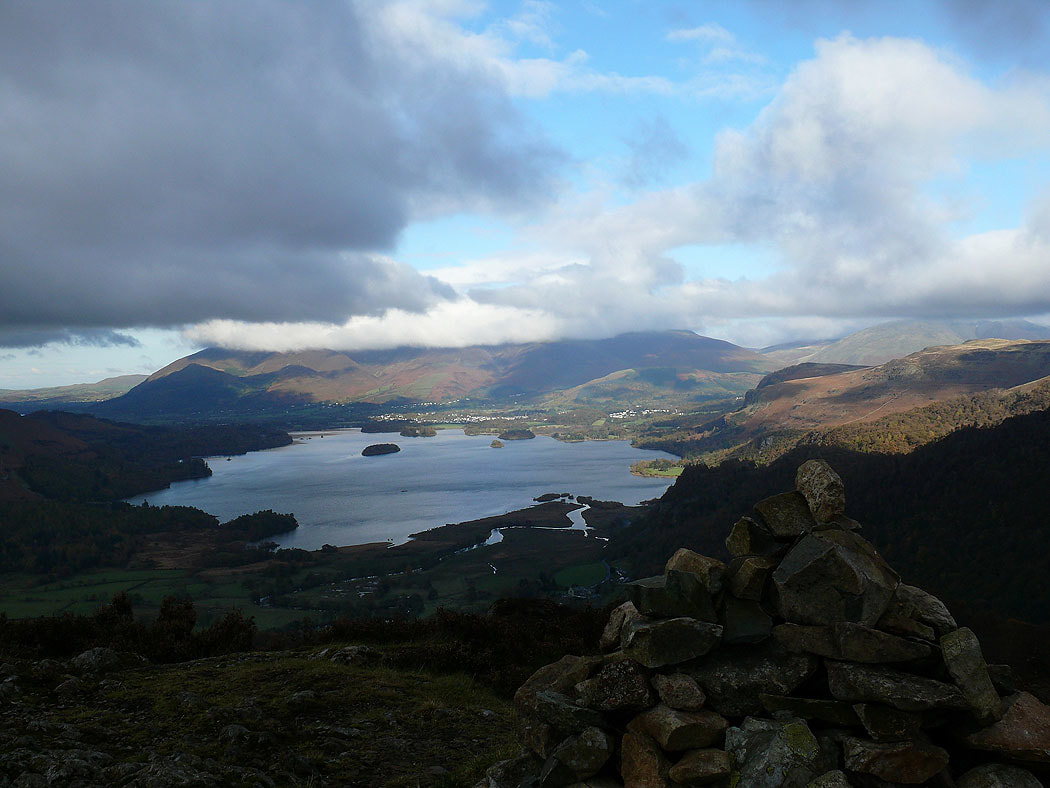
Derwent Water and Skiddaw from King's How

Borrowdale below with the wooded Castle Crag on the right
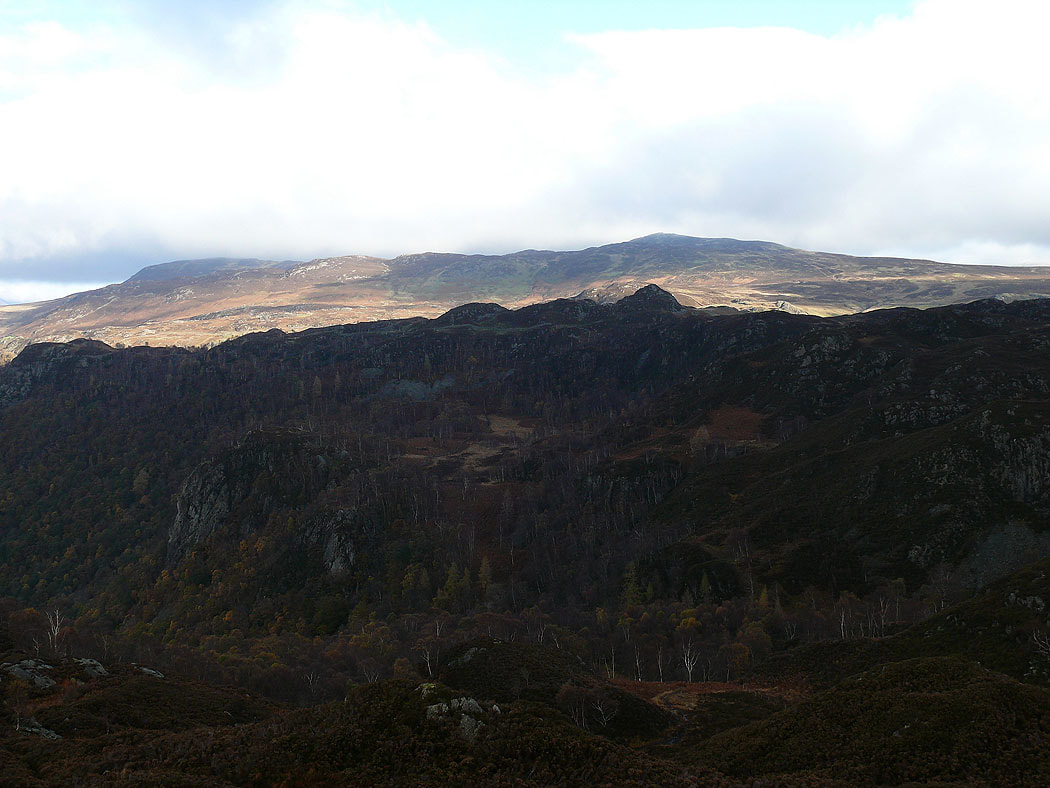
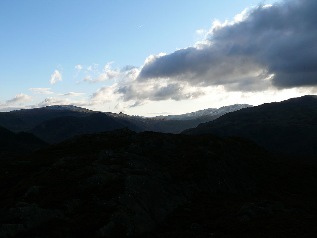
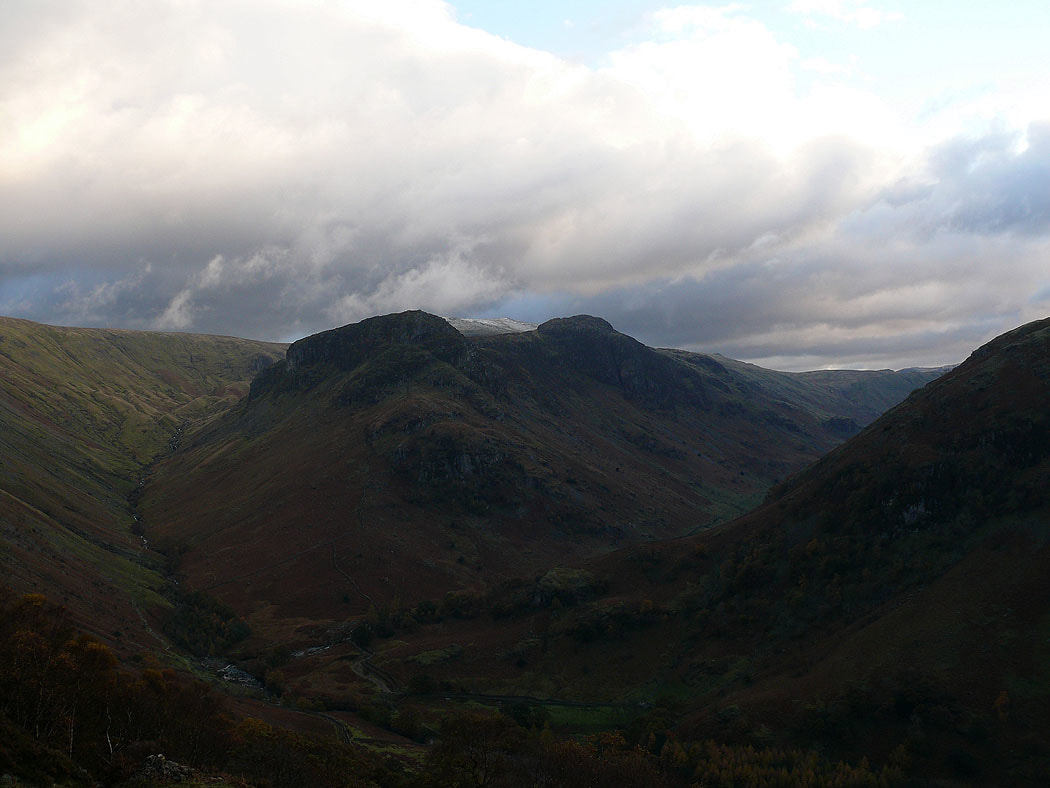
High Seat behind Ether Knott
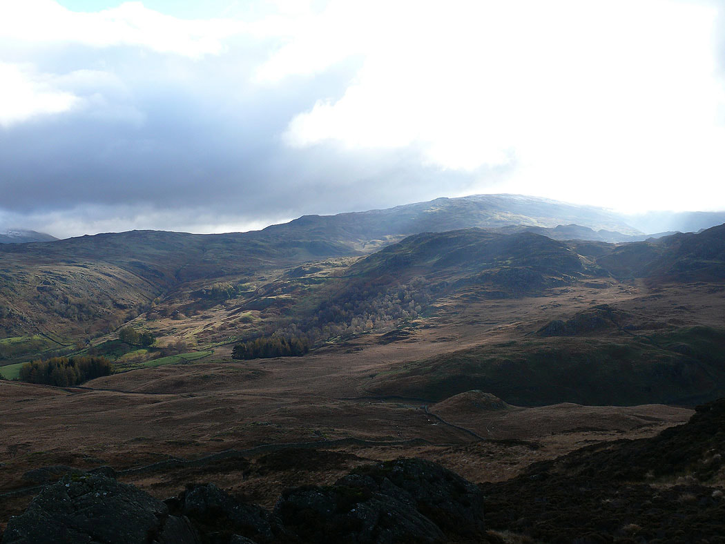
Back on the path from Rosthwaite to Watendlath. Glaramara, snow on Great End and Scafell Pike, then Lingmell and Great Gable
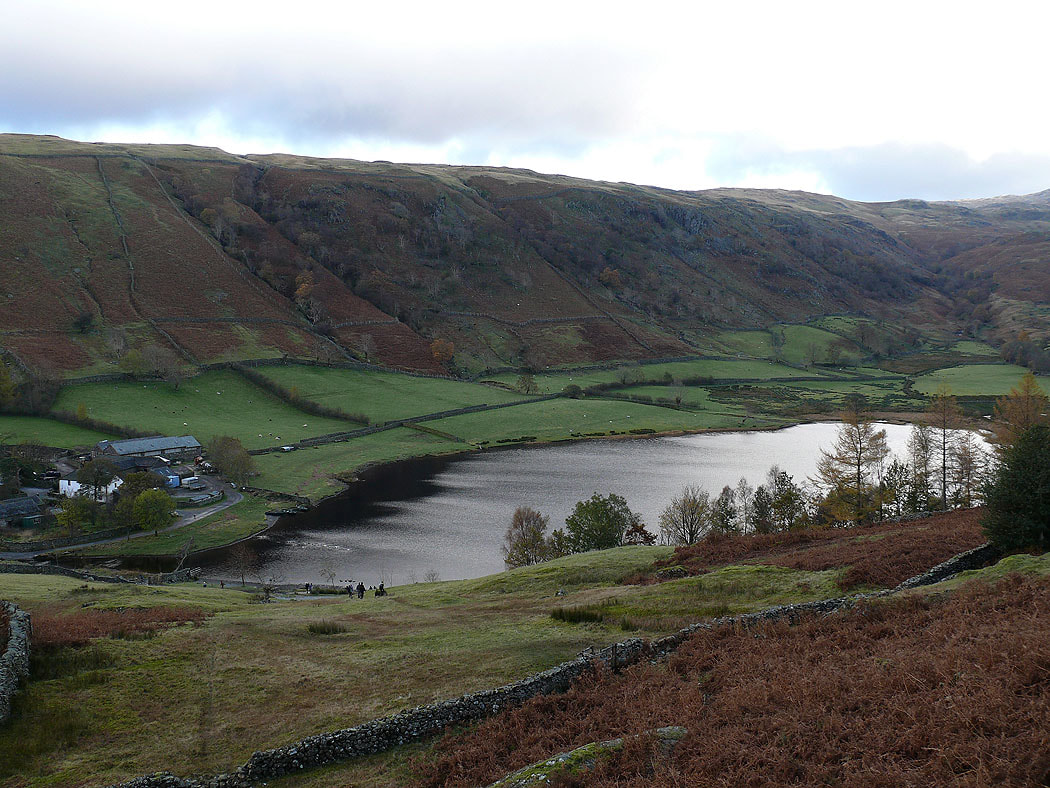
Heading down to Watendlath
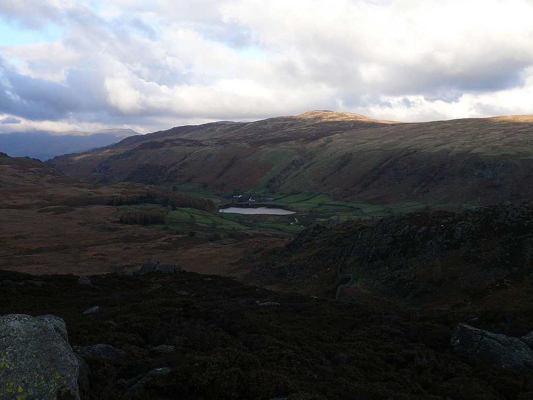
Watendlath and Watendlath Tarn
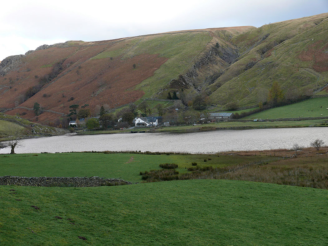
Watendlath from Great Crag
The view back to Grange Fell
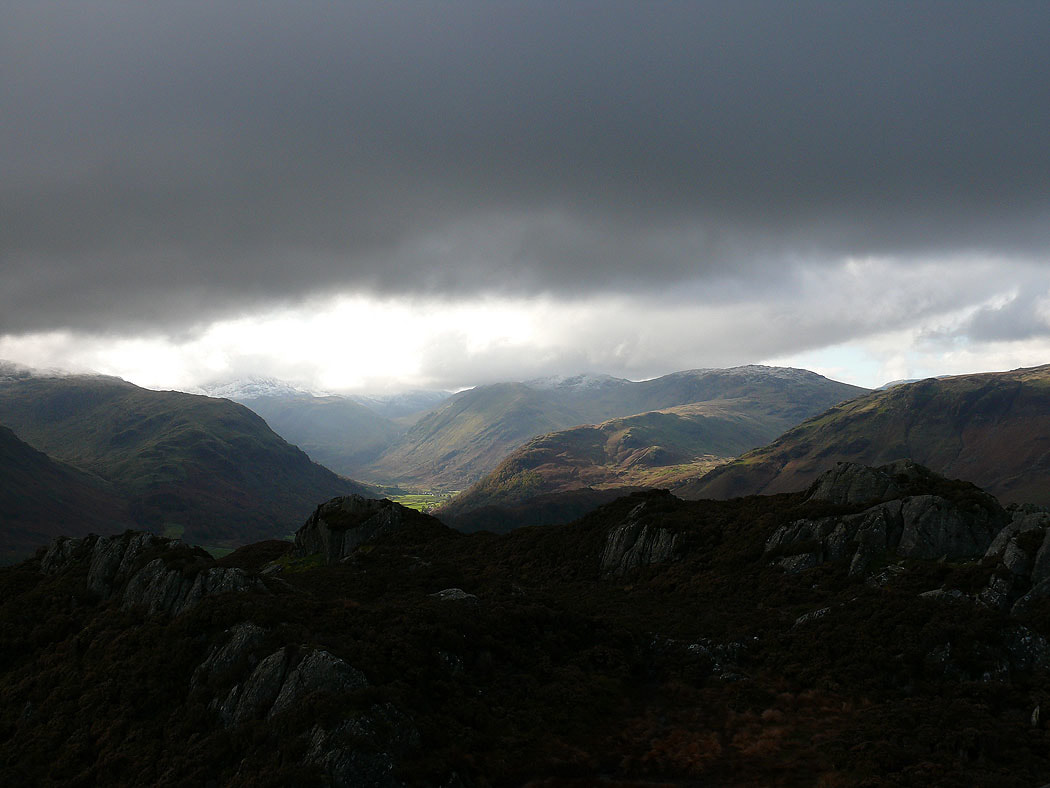
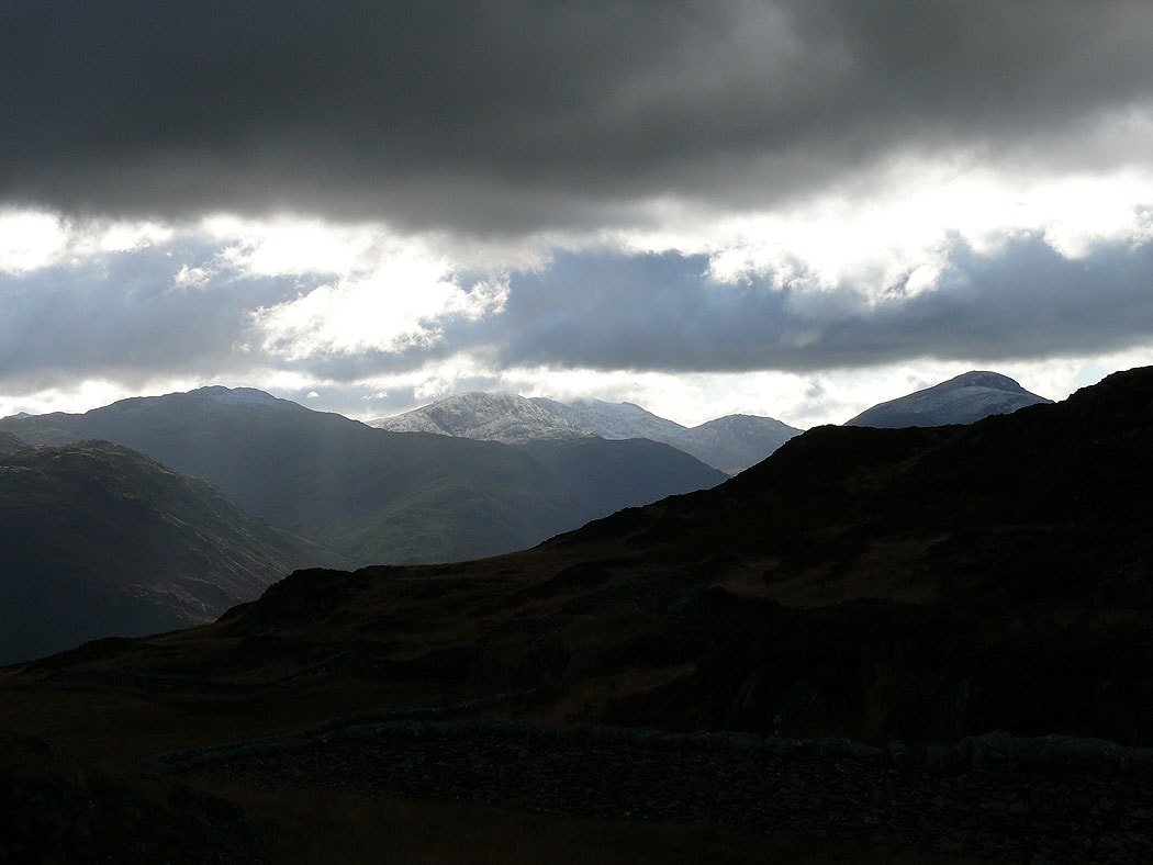
Cloud on a snowy Helvellyn range
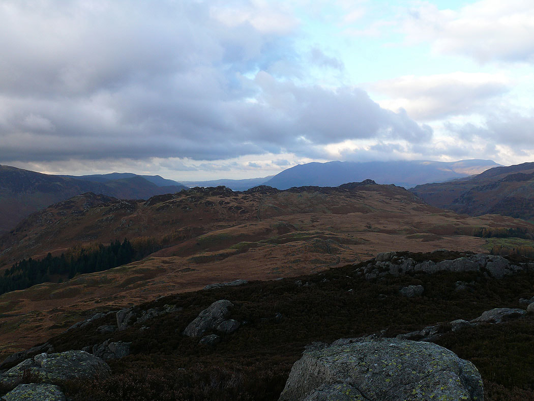
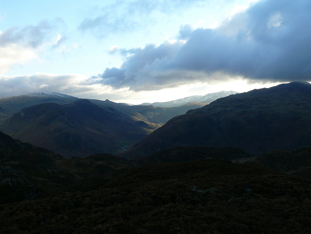
High Raise on the left with the snowy pointed top of Bowfell on the right
Borrowdale from Great Crag
From Great Crag I took the path past Dock Tarn. The view ahead has Eagle Crag and Sergeant's Crag on the left with High Raise behind then the valley of Langstrath and the slopes of Rosthwaite Fell.
Eagle Crag and Sergeant's Crag from Lingy End
and again from the path by Willygrass Gill
Heading back down into Borrowdale